Author Archives: rachel

41st

Last year – 40th party got Covid’d. Was I going to do anything to make up for my lack of big party last year? Nah, not interested, had been my response to anyone who asked.

But then I went to Nationals this year. Didn’t play. But hung out with lots of friends and remembered why frisbee has been such a big part of my life for over 20 years. The AirBnB trawling started almost as soon as I got home from Nationals. When I found the Goulburn Railway Barracks I knew something had to happen. A tournament without any frisbee was the vibe I was going for.

Unfortunately in the days leading up to the party Sydney had the start of another Covid cluster. Melbourne was on its way out of a lockdown which was causing uncertainty as well. Lost a couple in the week before.

Then lost a couple more on Friday 🙁 I don’t think we appreciate how much peace of mind it gives us NSW residents to travel when we know Gladys will always let us back in.

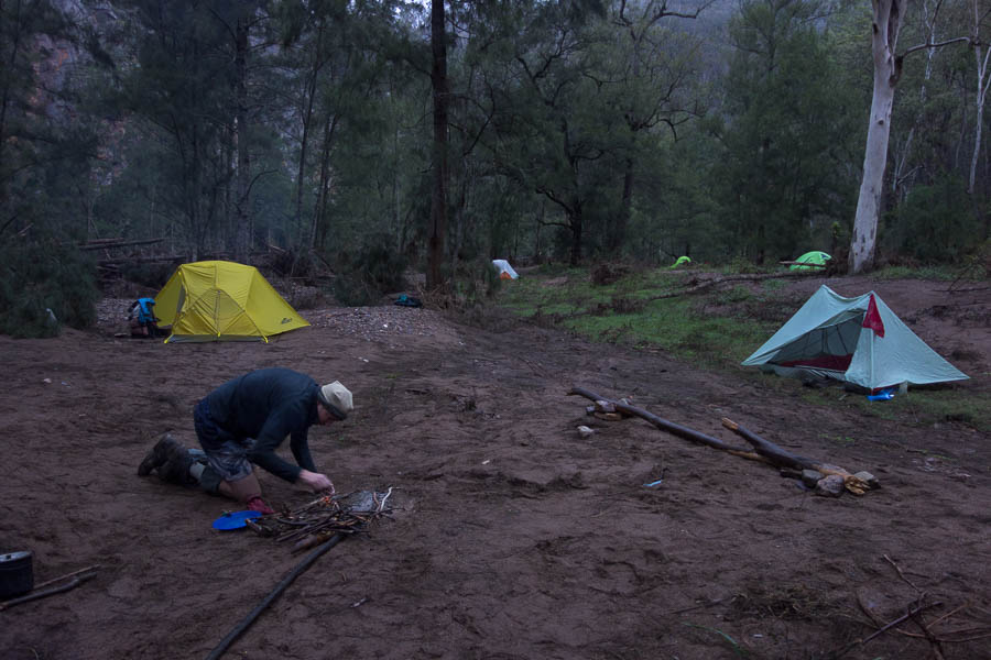
Friday night – we cracked a magnum of 1995 Penfolds 389 and waited for the guests to arrive. The wine was ok, nothing too amazing – you could argue we were lucky it was drinkable! The Friday night arrivals trickled in, glad to be out of the wild weather most of them had driven down in.

A long time coming for this magnum

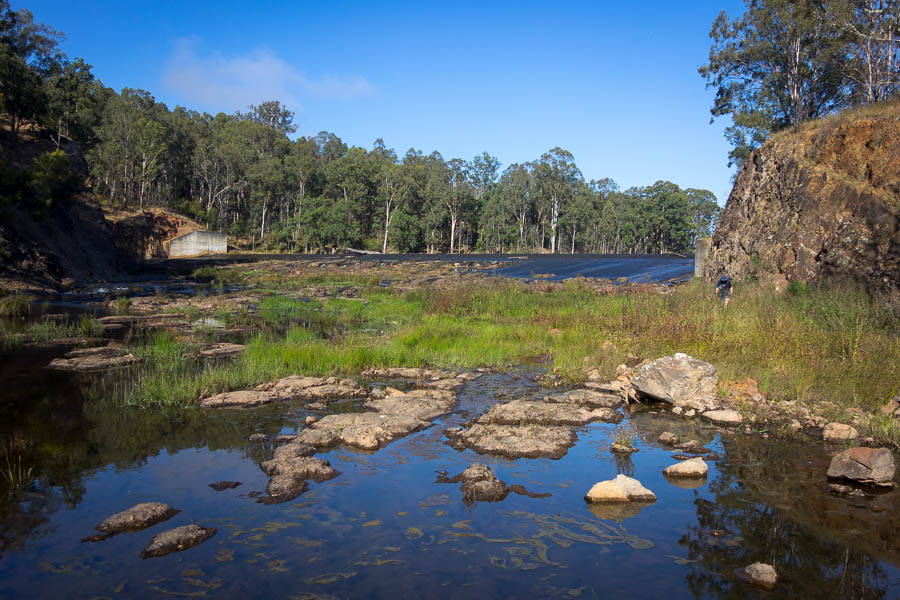
There was incomprehension from some about why anyone would want to do parkrun. But with an 8am start (unlike 7am for my local one) why not? The course was along the beautiful Wollondilly River Walkway – a chilly, but still and sunny morning for the 4 of us who braved it. Ant ran there because, you know, 5km isn’t enough. I had claimed I would be walking it, but got about 5 seconds in and informed Annie I was going to jog. And jog I did the entire way – first run without calf issues since the calf tear from February which put me out of Nationals.

Annie & I ran together for the first 3km. Mark passed us on his way back. I yelled out “what time is it?” …..

Somewhat confused look from Mark, while fumbling with his watch.

“Fakultime!”

Oh. Confused look replaced with amusement.

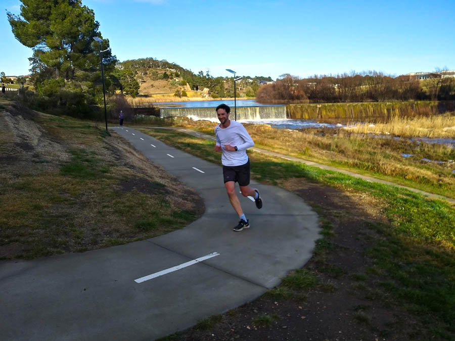
Ant on the brutal uphill finish to the Goulburn parkrun

I would like you to think that since I was taking photos of Ant finishing that I had finished before him. However, for full disclosure after his 20:35 run, he went out for a second (partial) lap. More parkrun photos on the Goulburn parkrun facebook page.

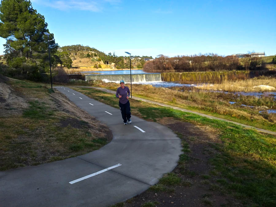
Annie almost finished

parkrunners

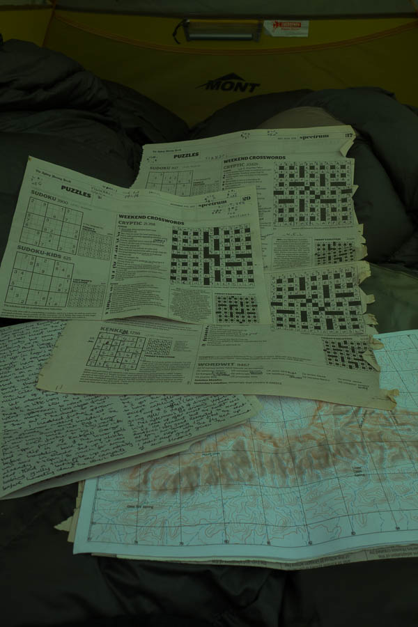
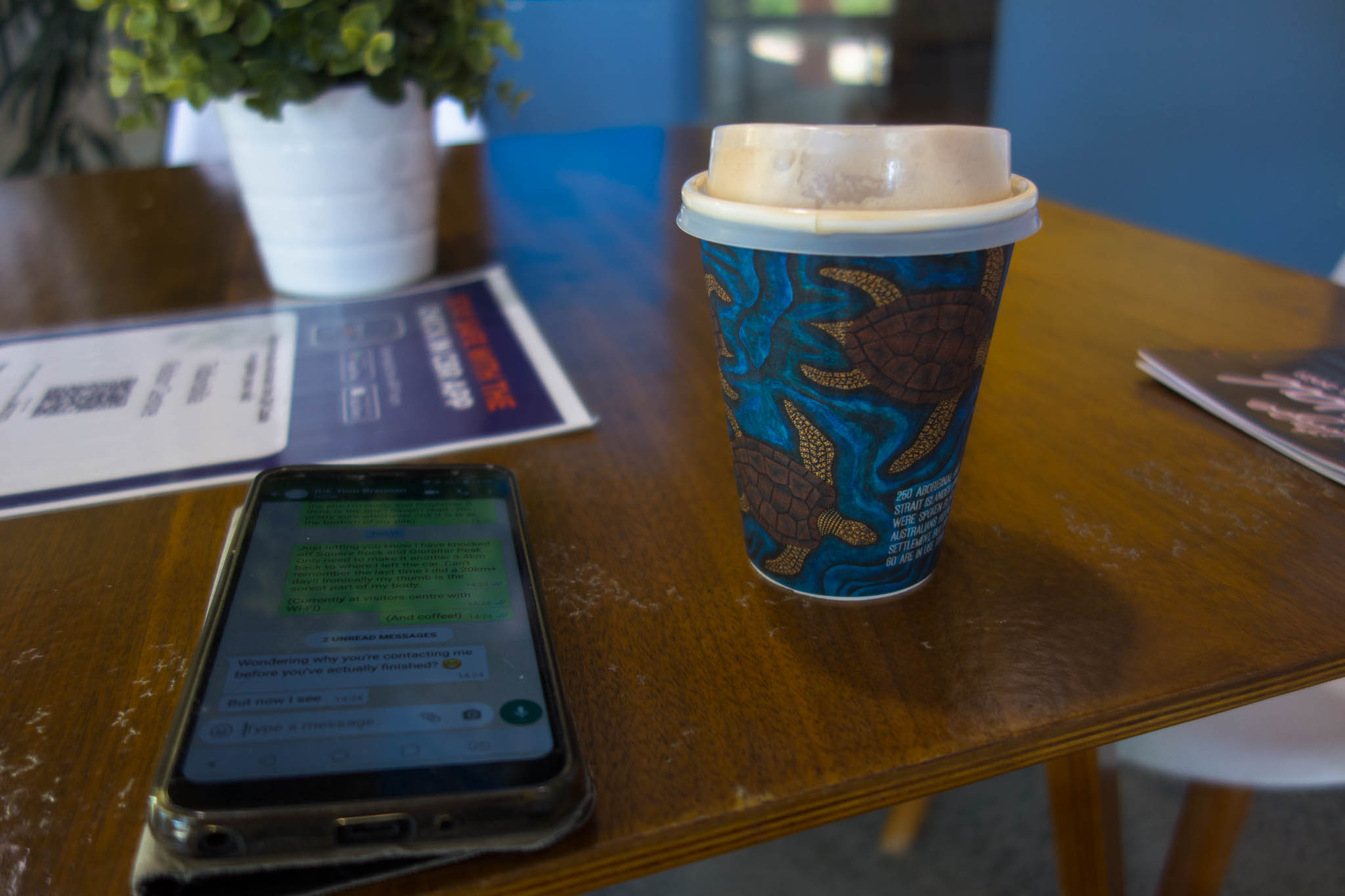
After picking up our post-run coffees, it was time for the Quiz. There was hope for a perfect score.

Good Weekend Quiz – 19 June

But today was not our day. We missed questions 8, 11 (though there as a large amount of time spend on remembering the only JM Coetzee title our collective group could think of… only for it not to be the right answer!), 14, 25. Had Disey arrived earlier she would have nailed 25 for us, so maybe we can advance the score from 21 to 22???

Quizzers – 21/25

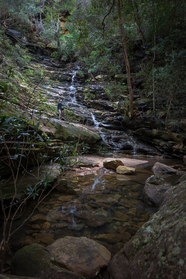
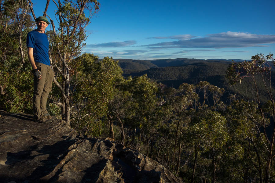
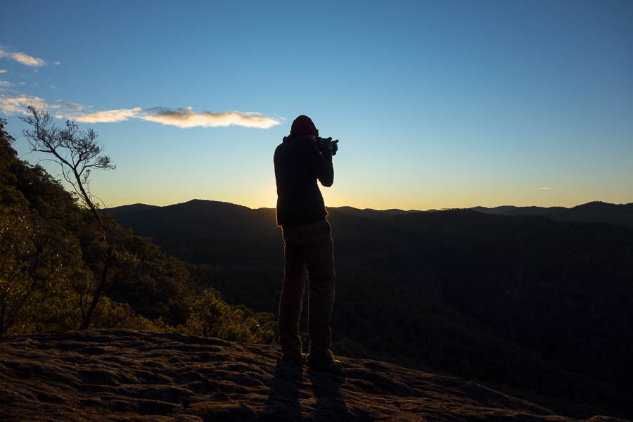
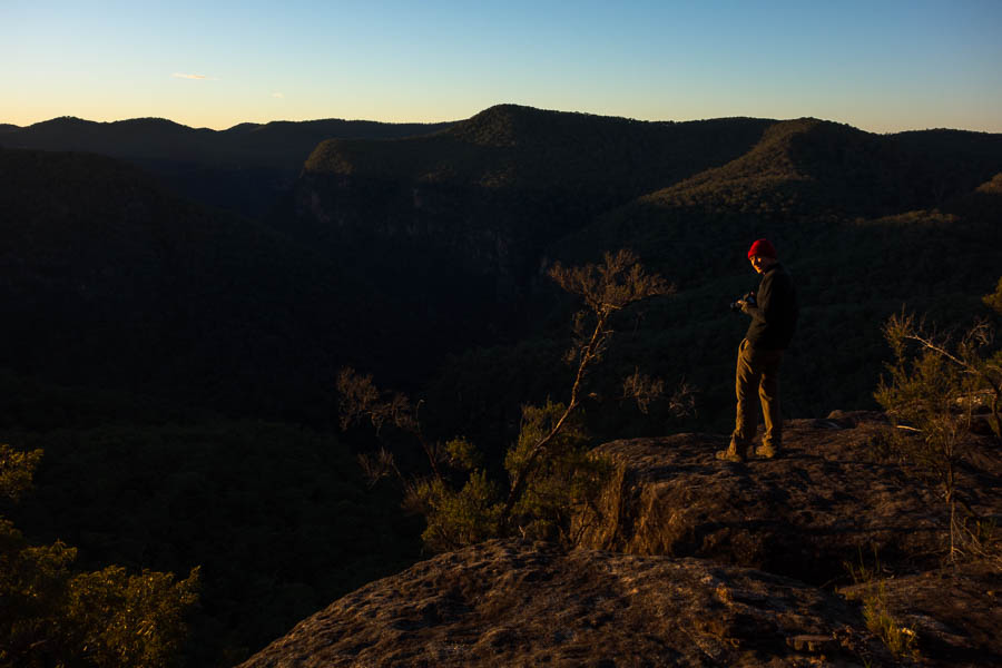
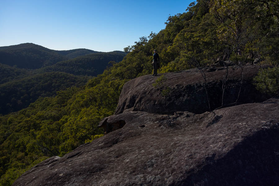
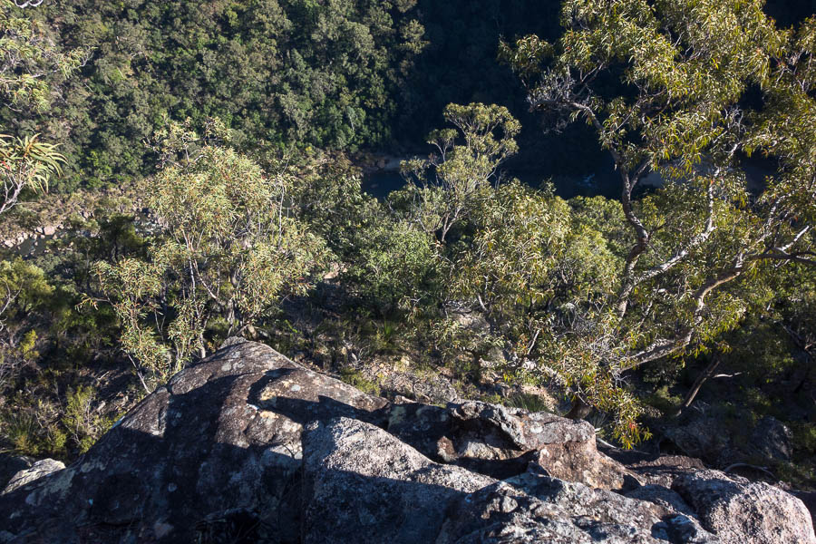
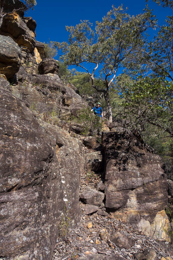
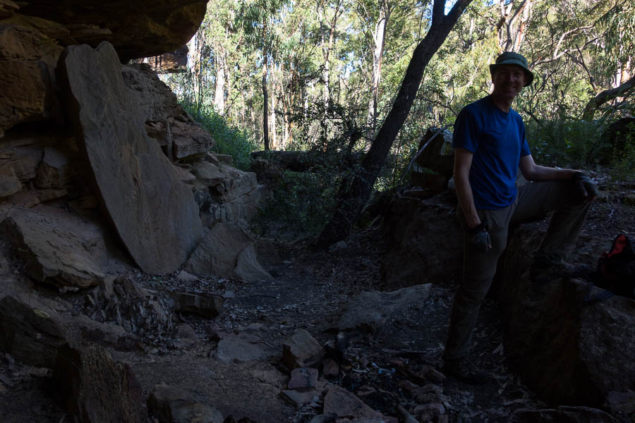
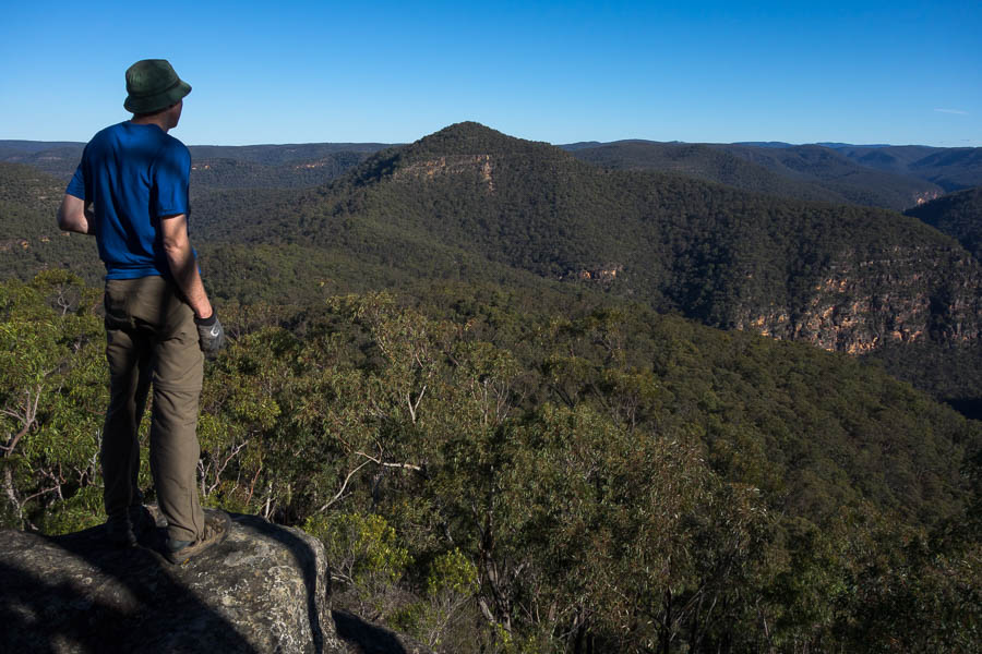
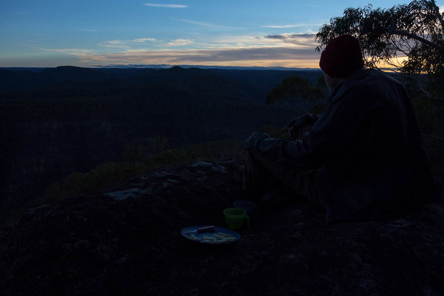
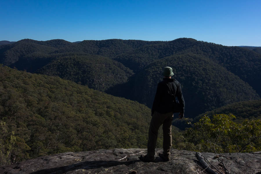
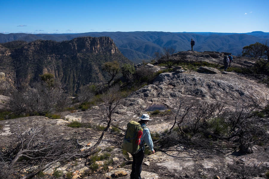
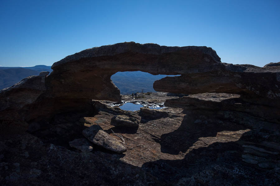
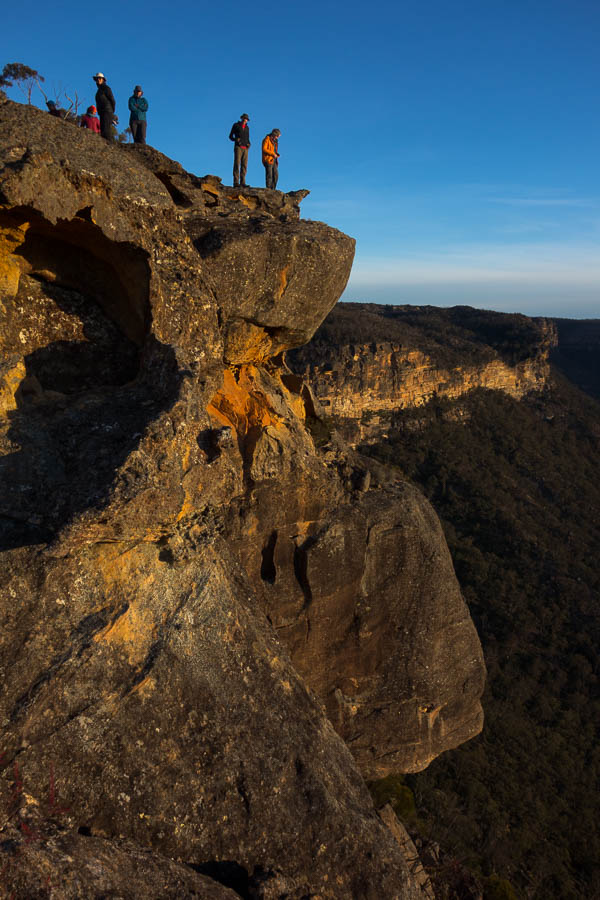
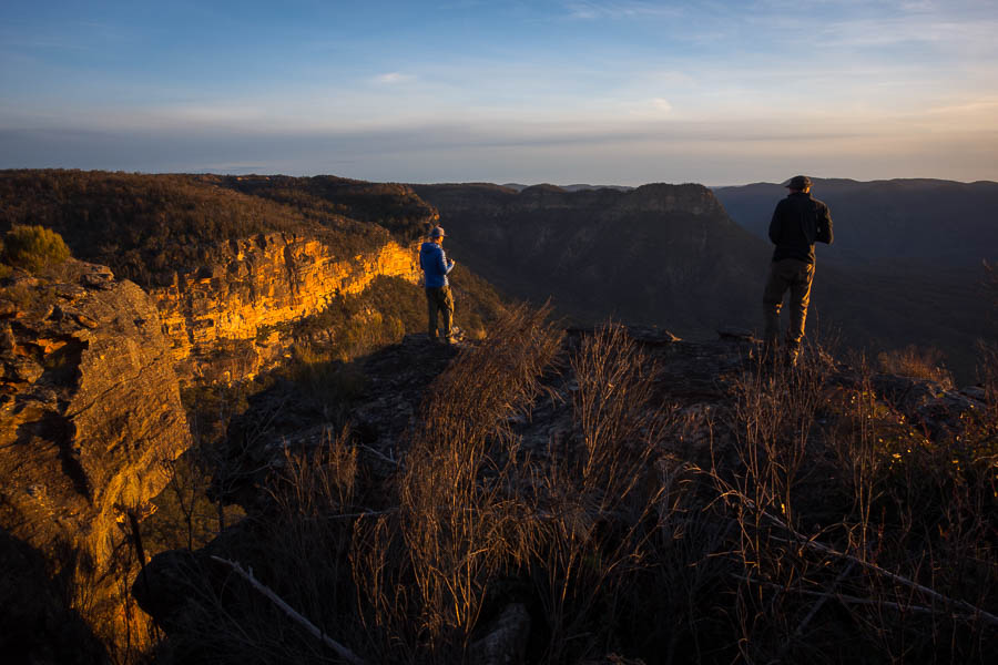
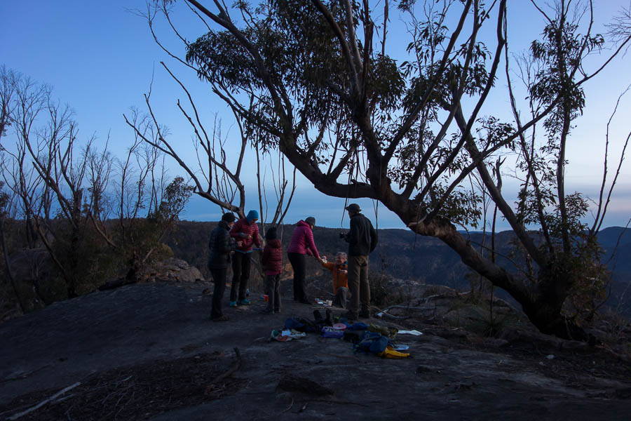
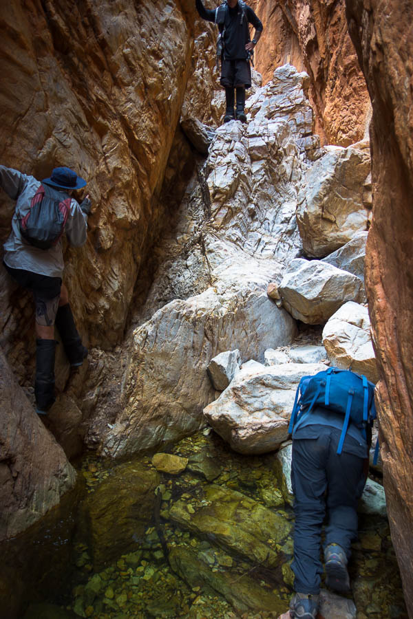
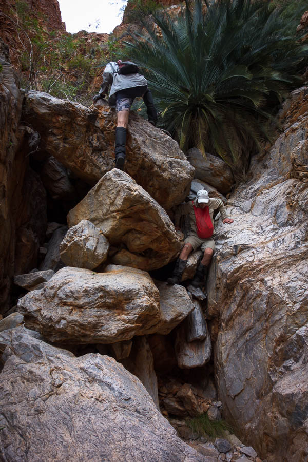
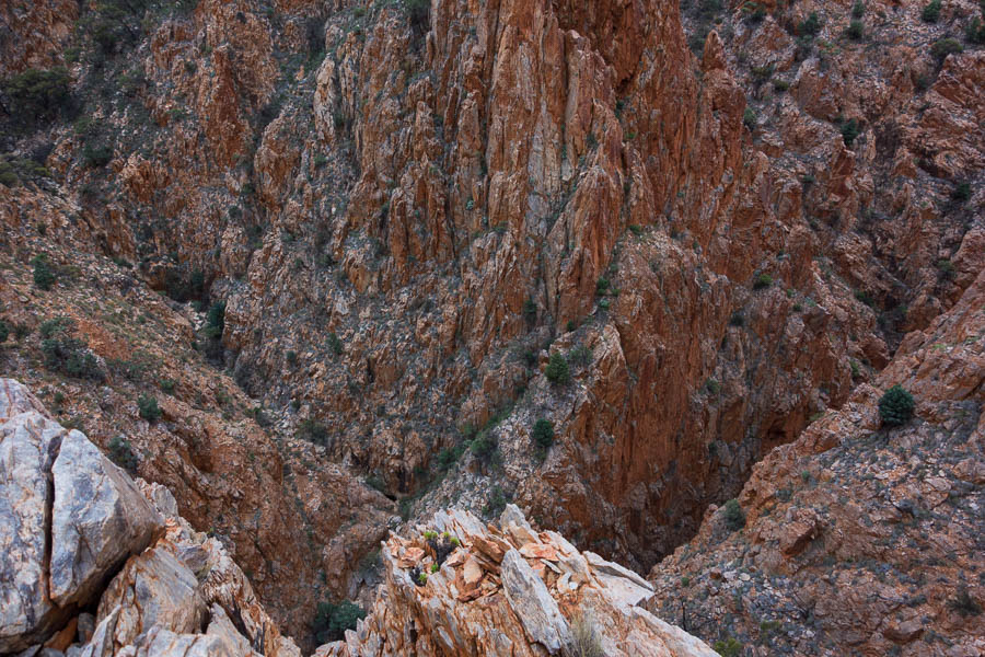
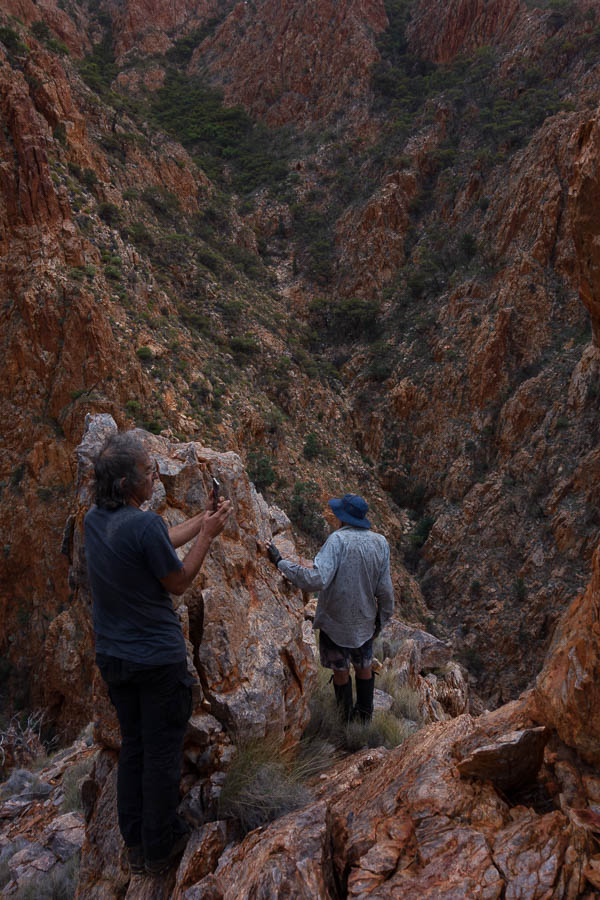
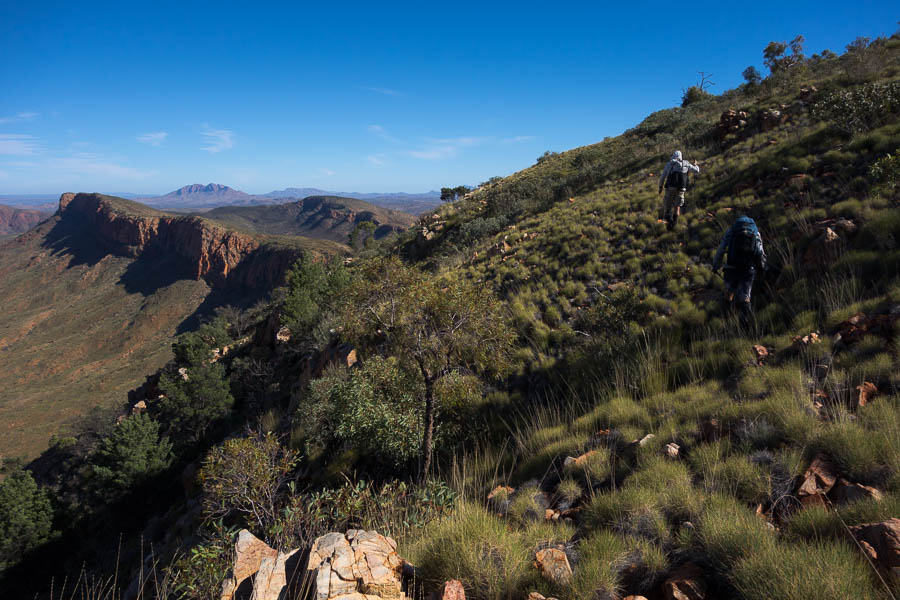
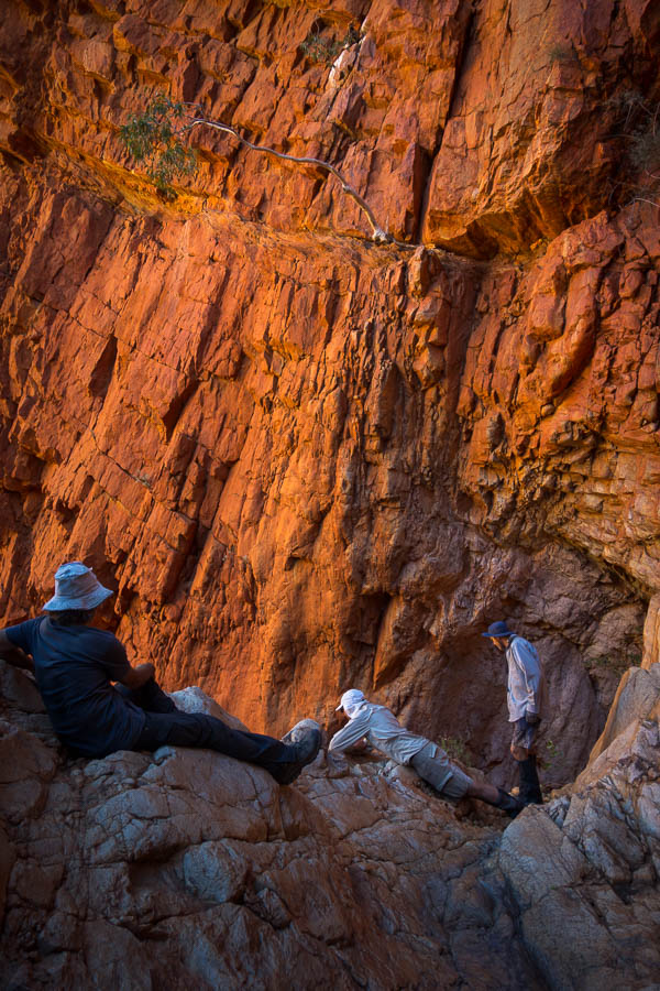
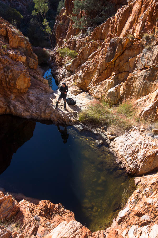
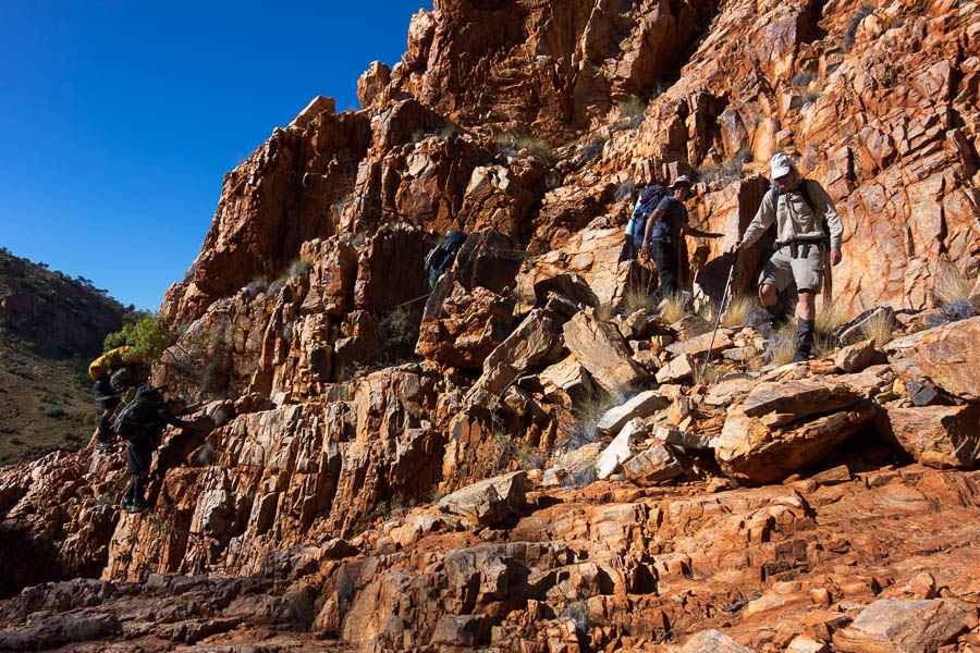
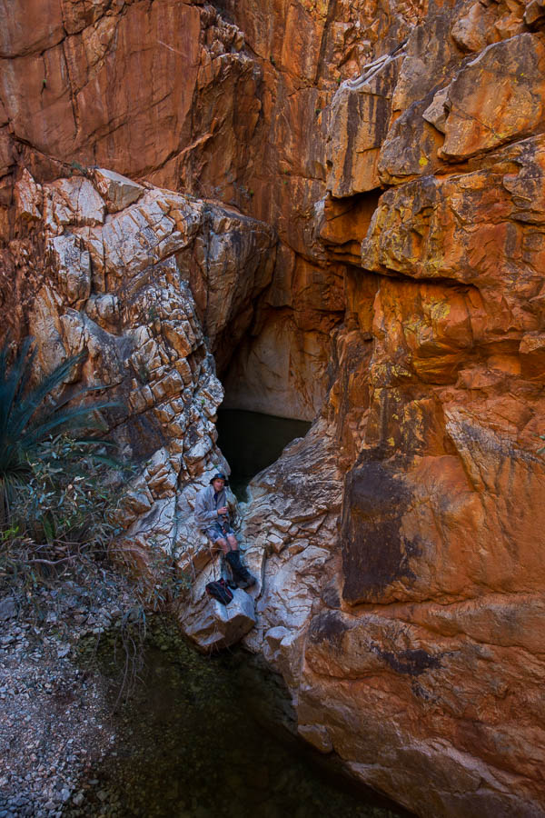
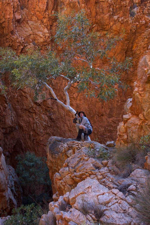
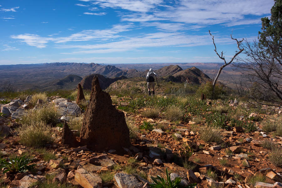
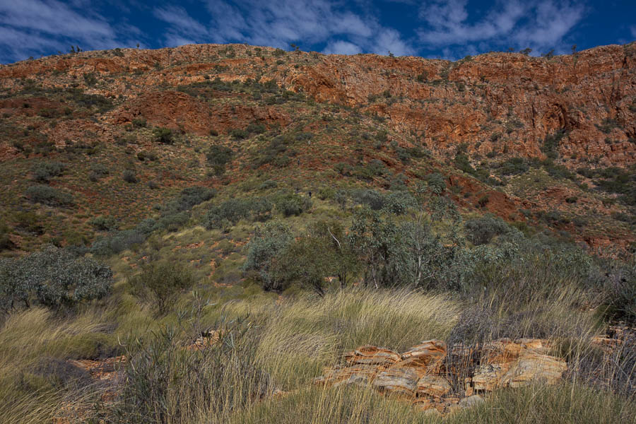
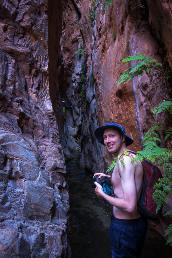
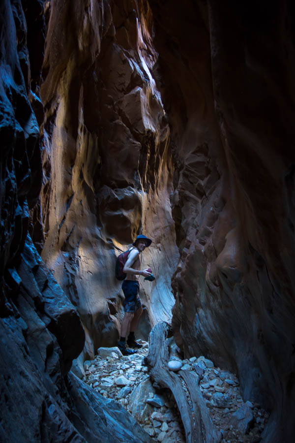
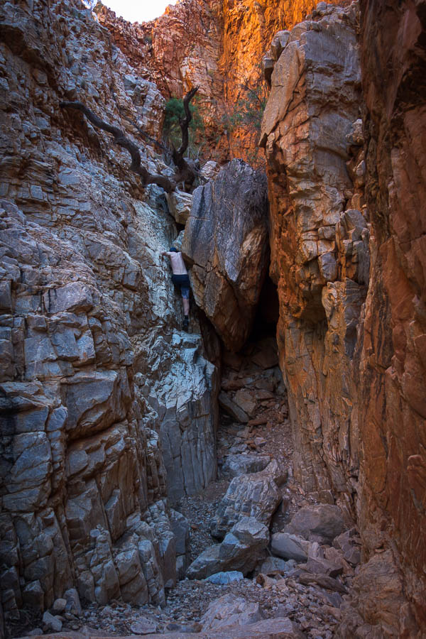
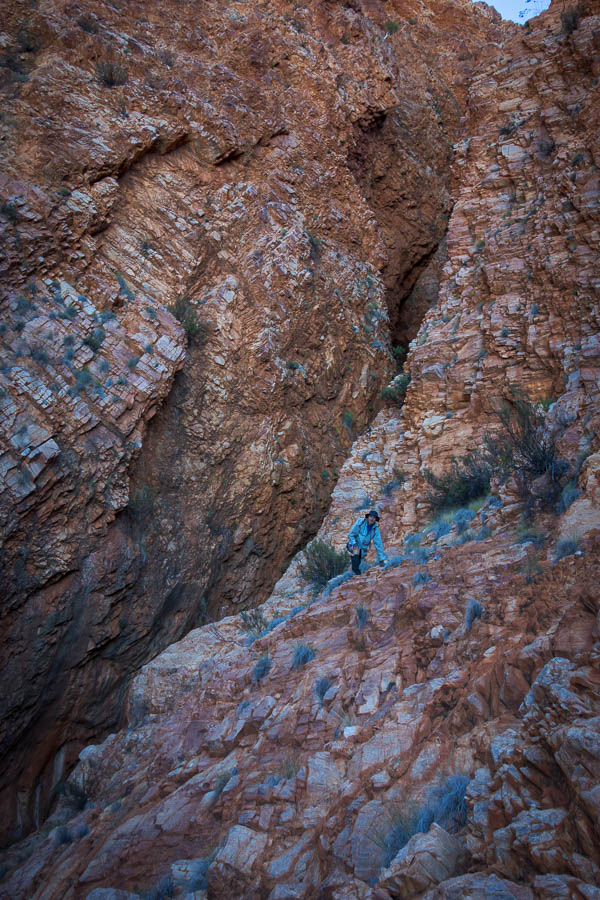
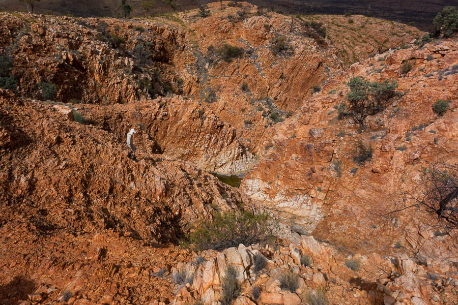
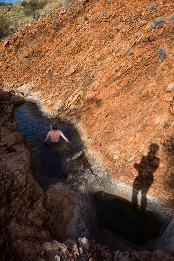
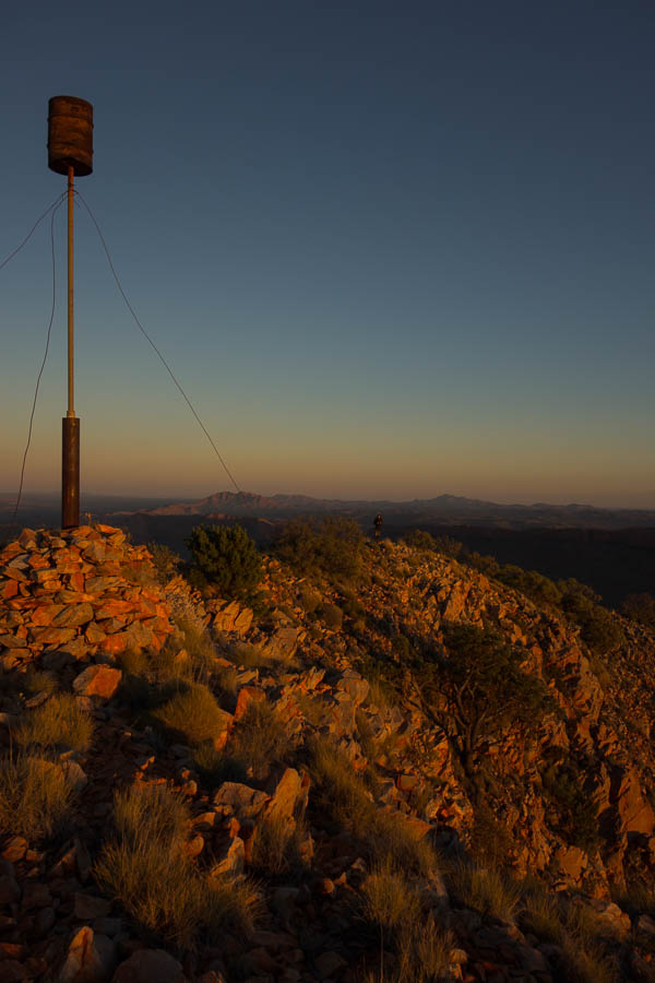
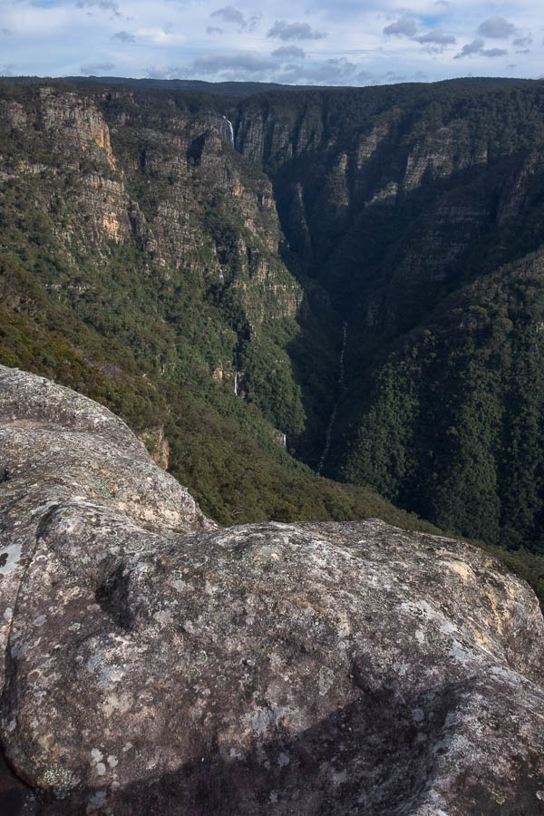
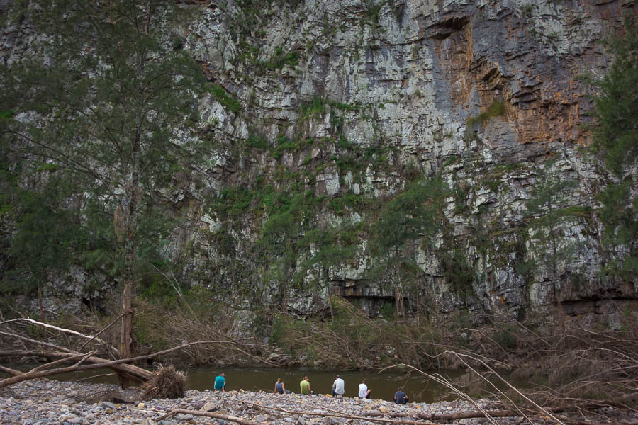
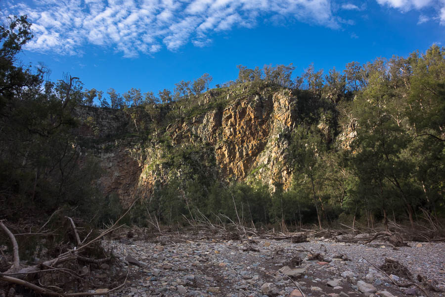
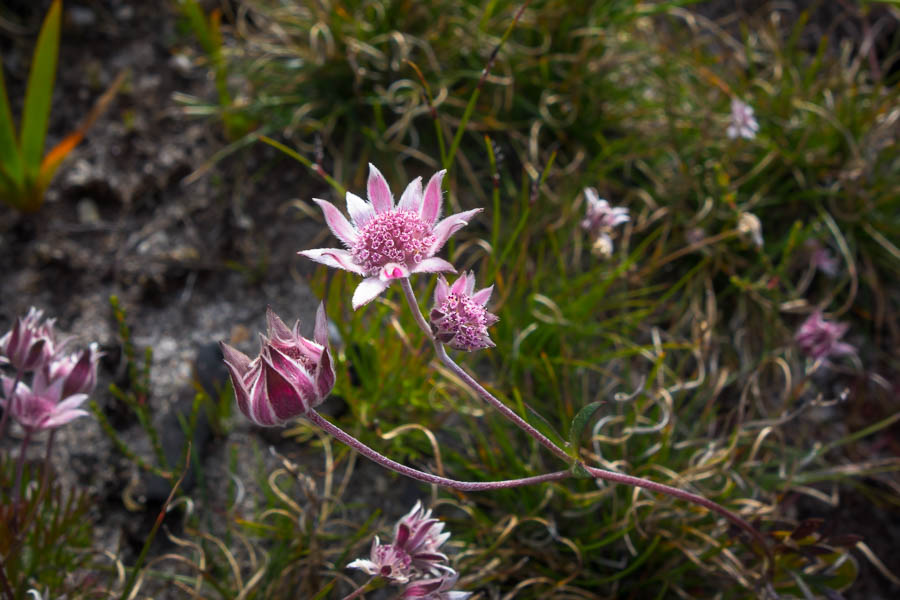
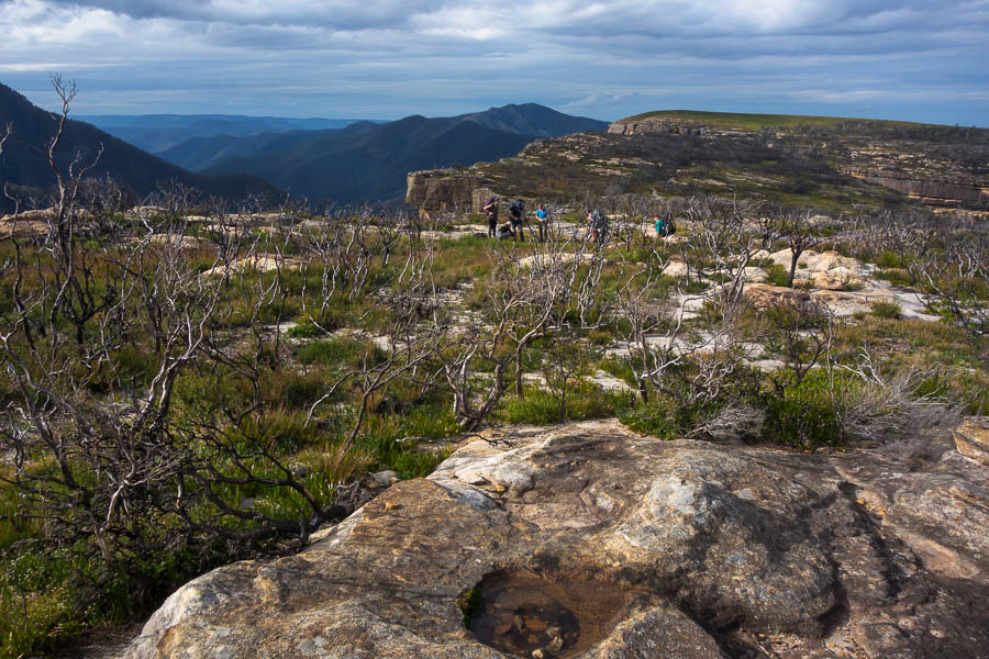
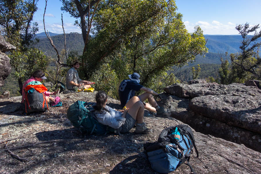
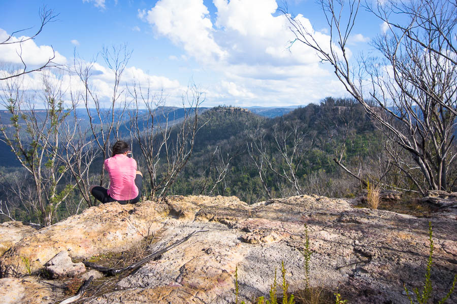
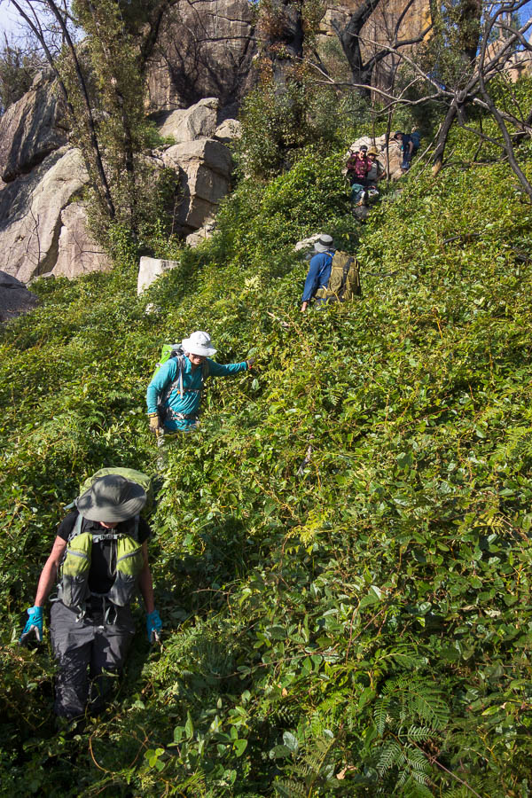
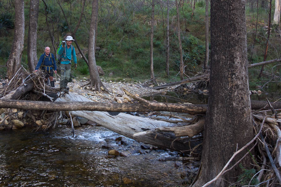
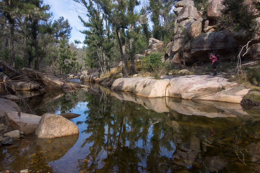
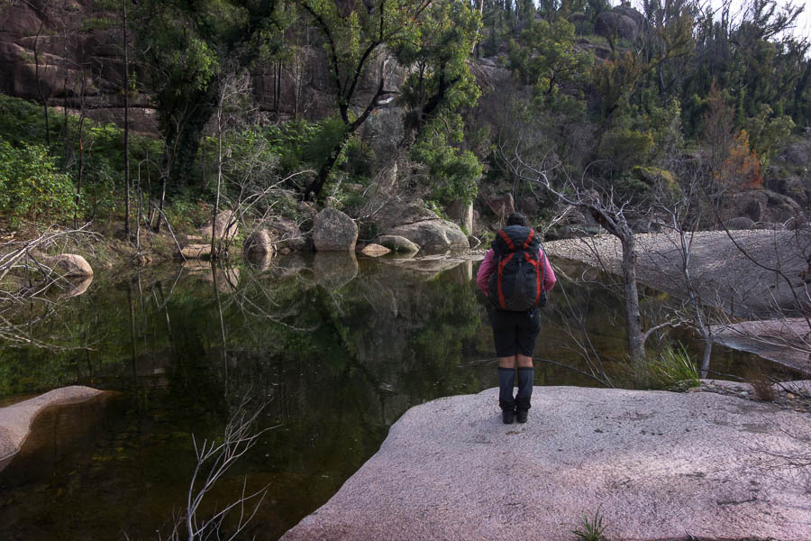
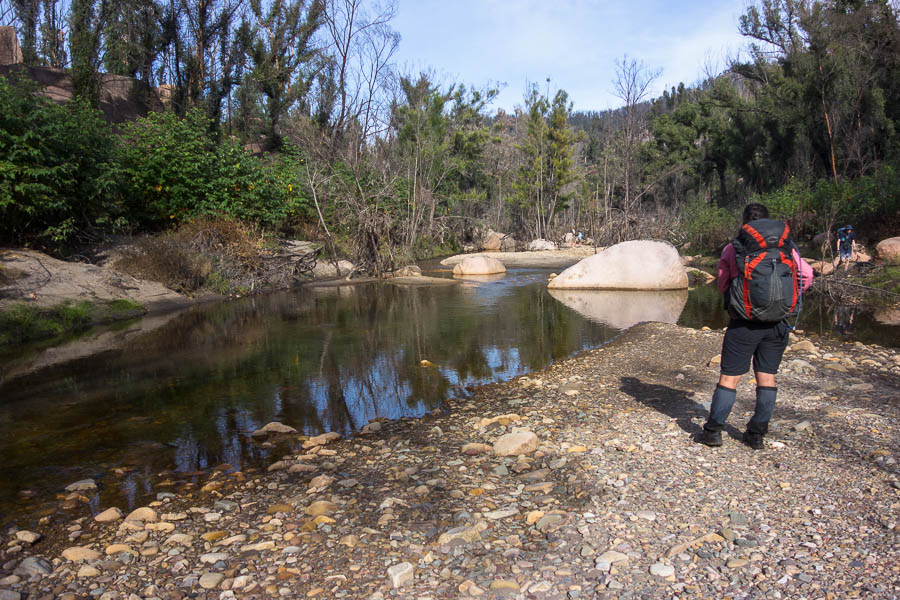
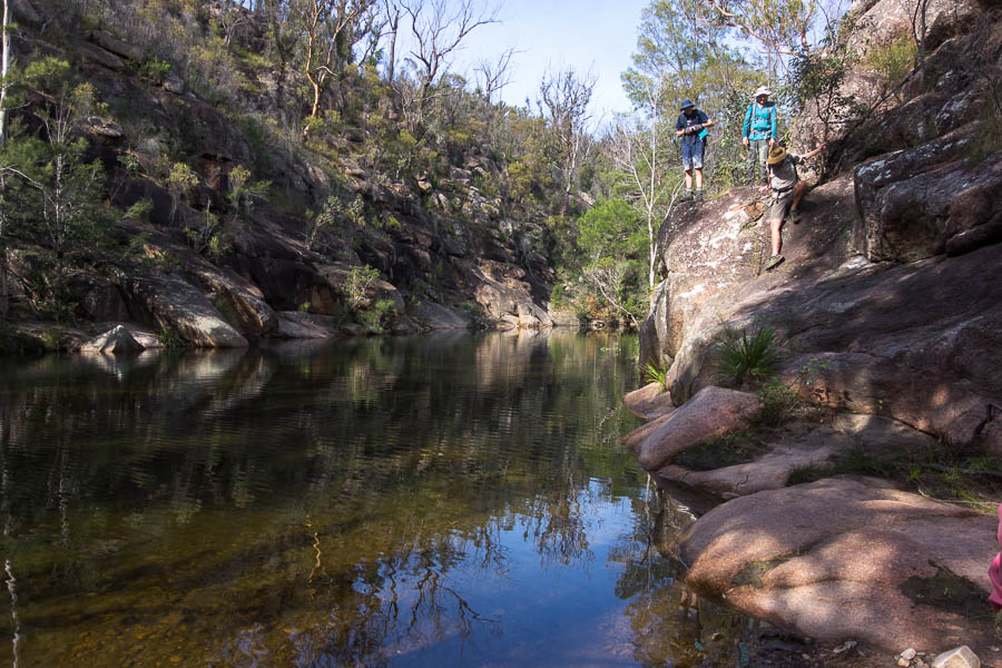
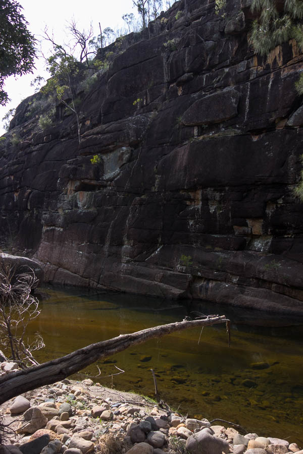
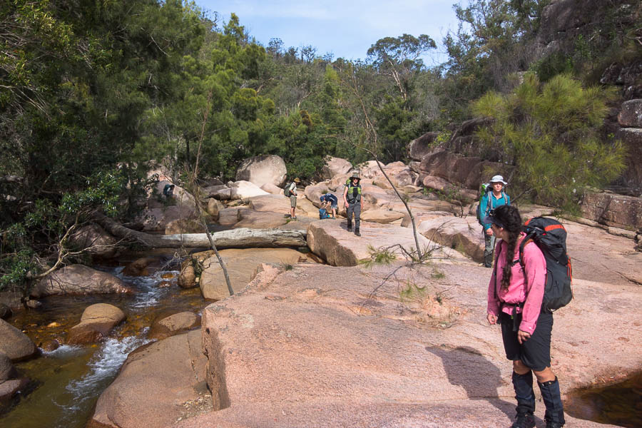
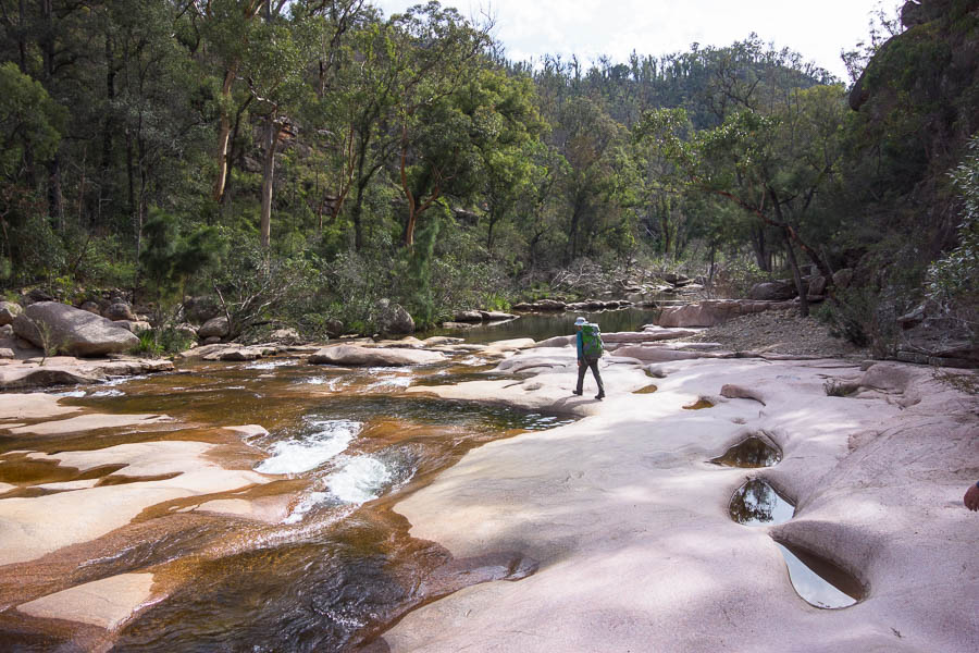
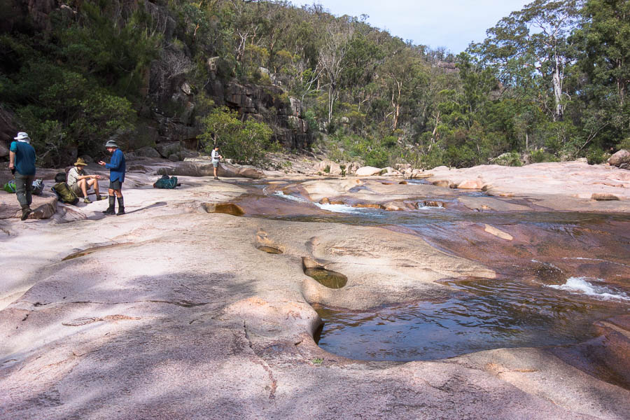
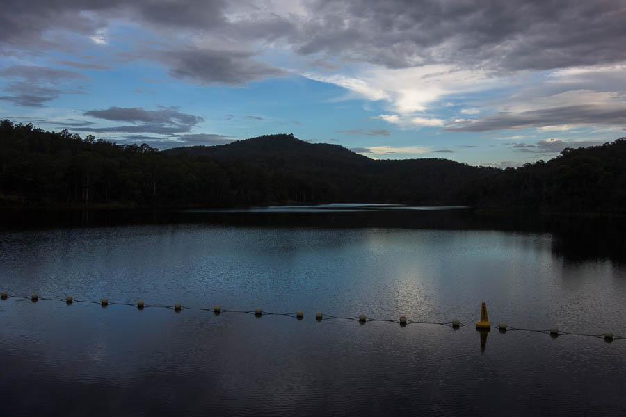
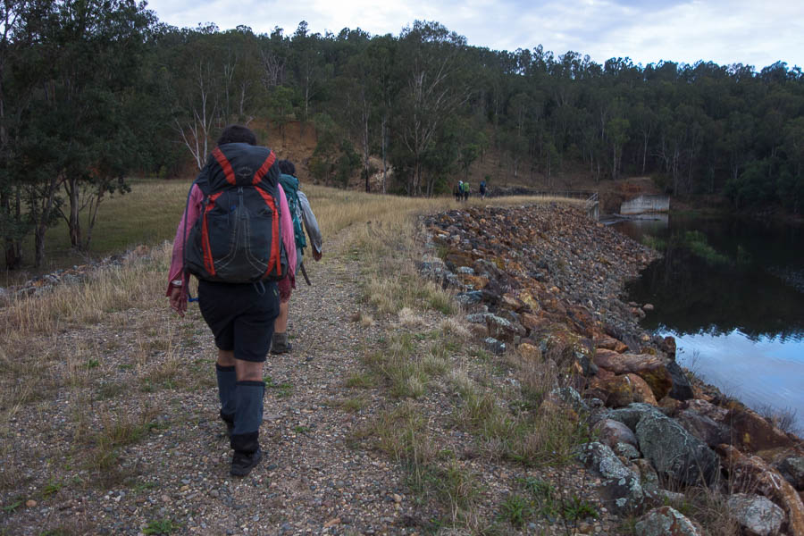
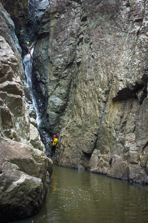
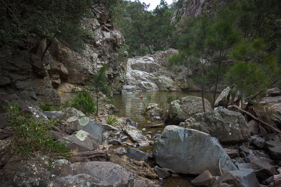
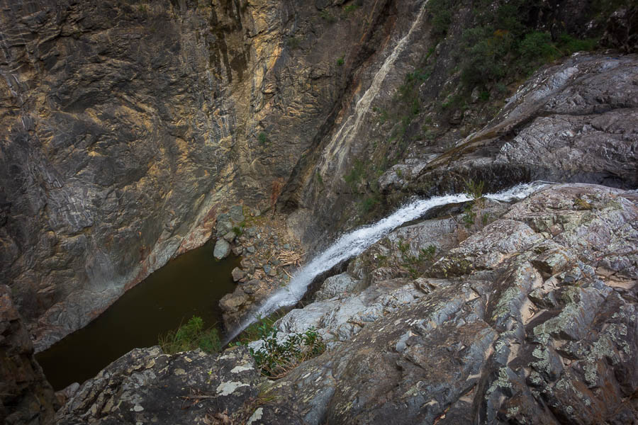
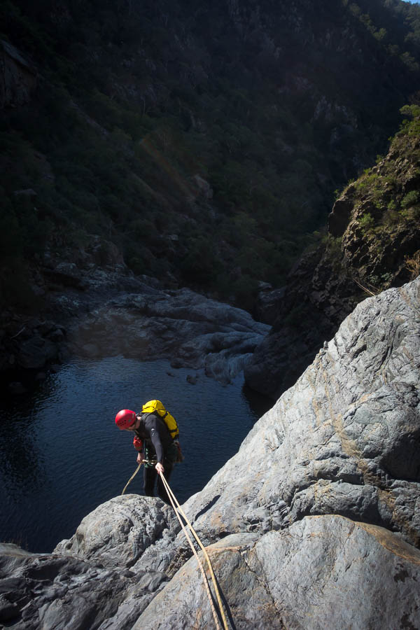
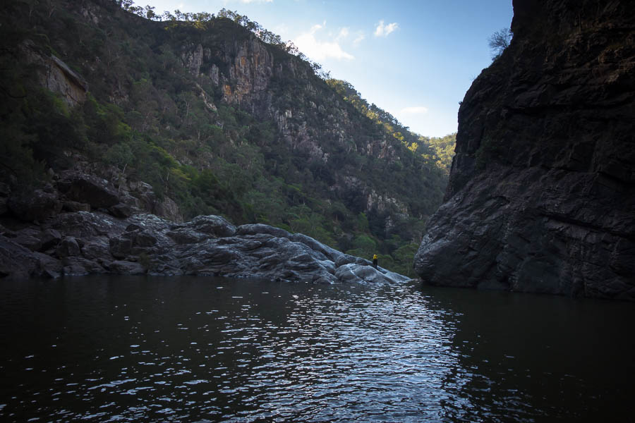
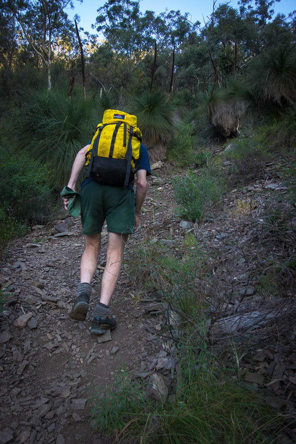
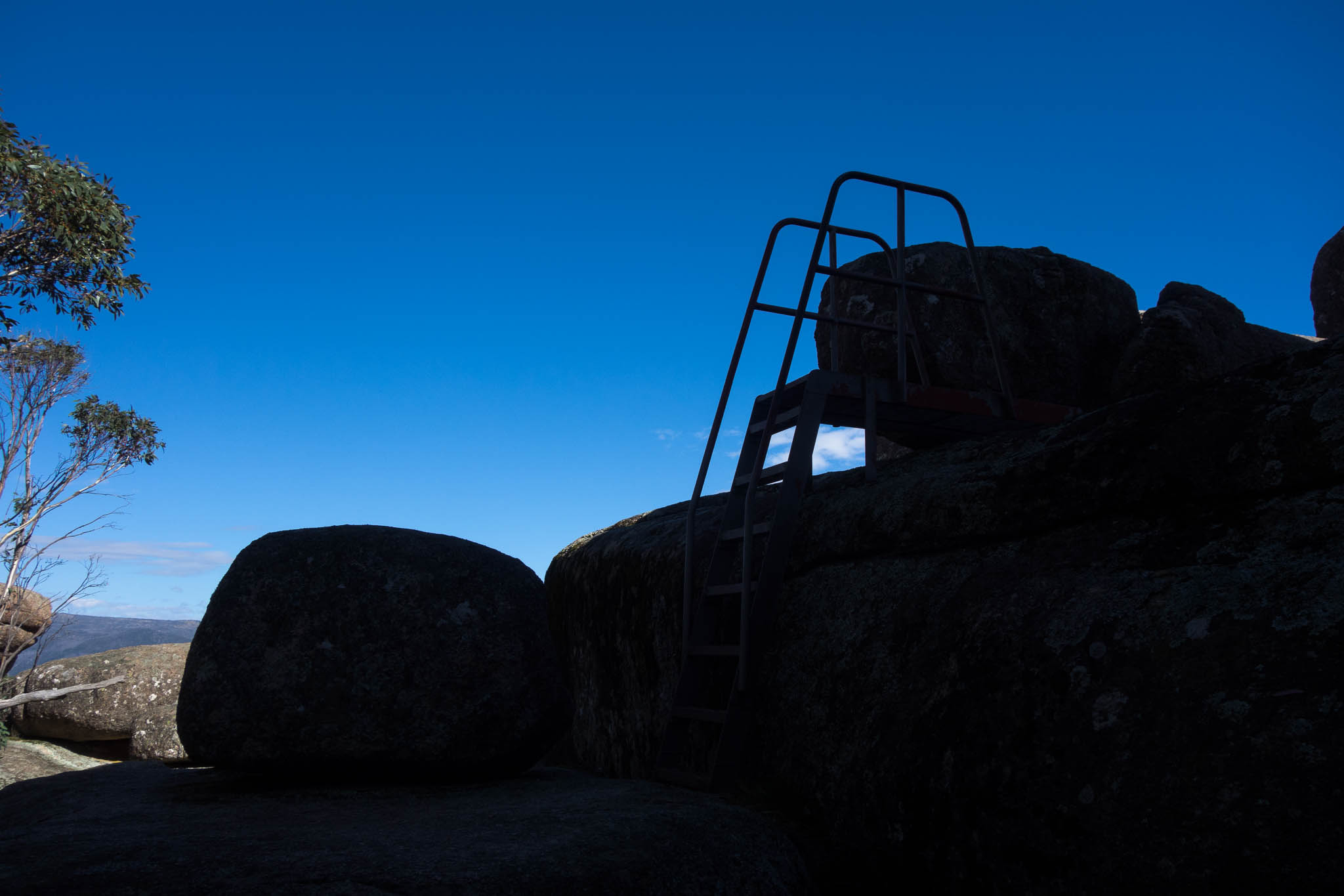
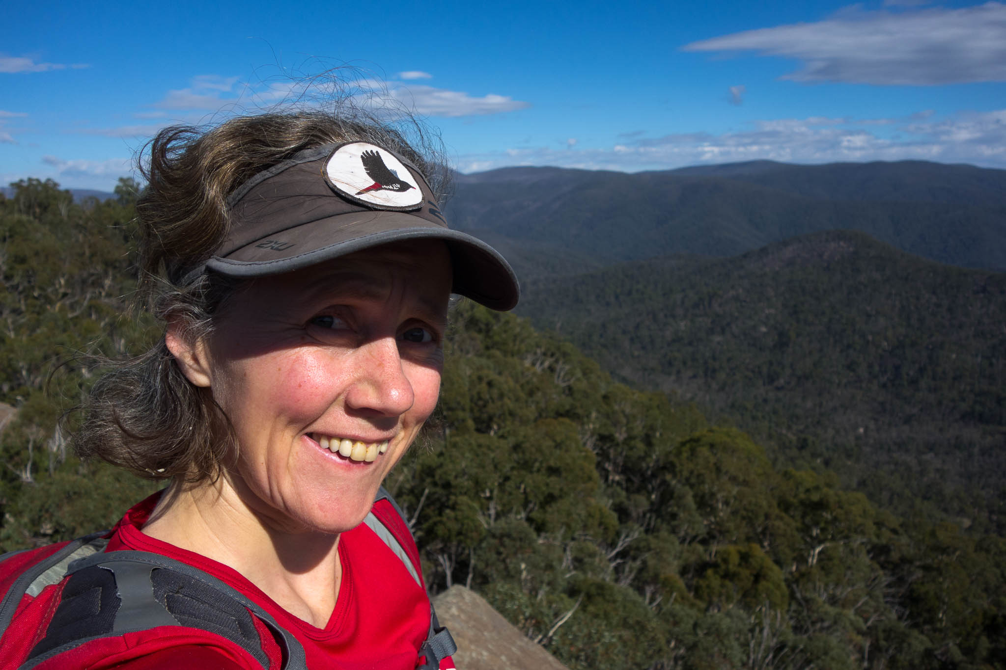
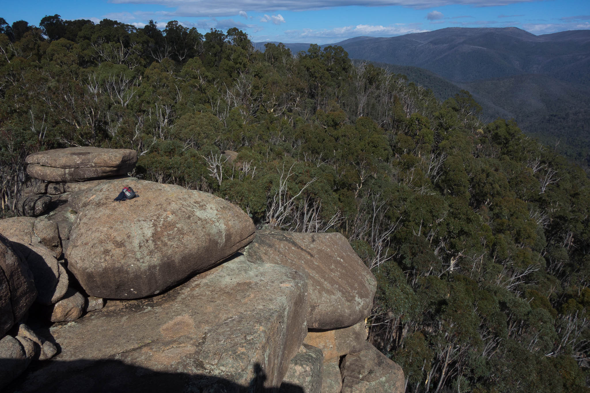
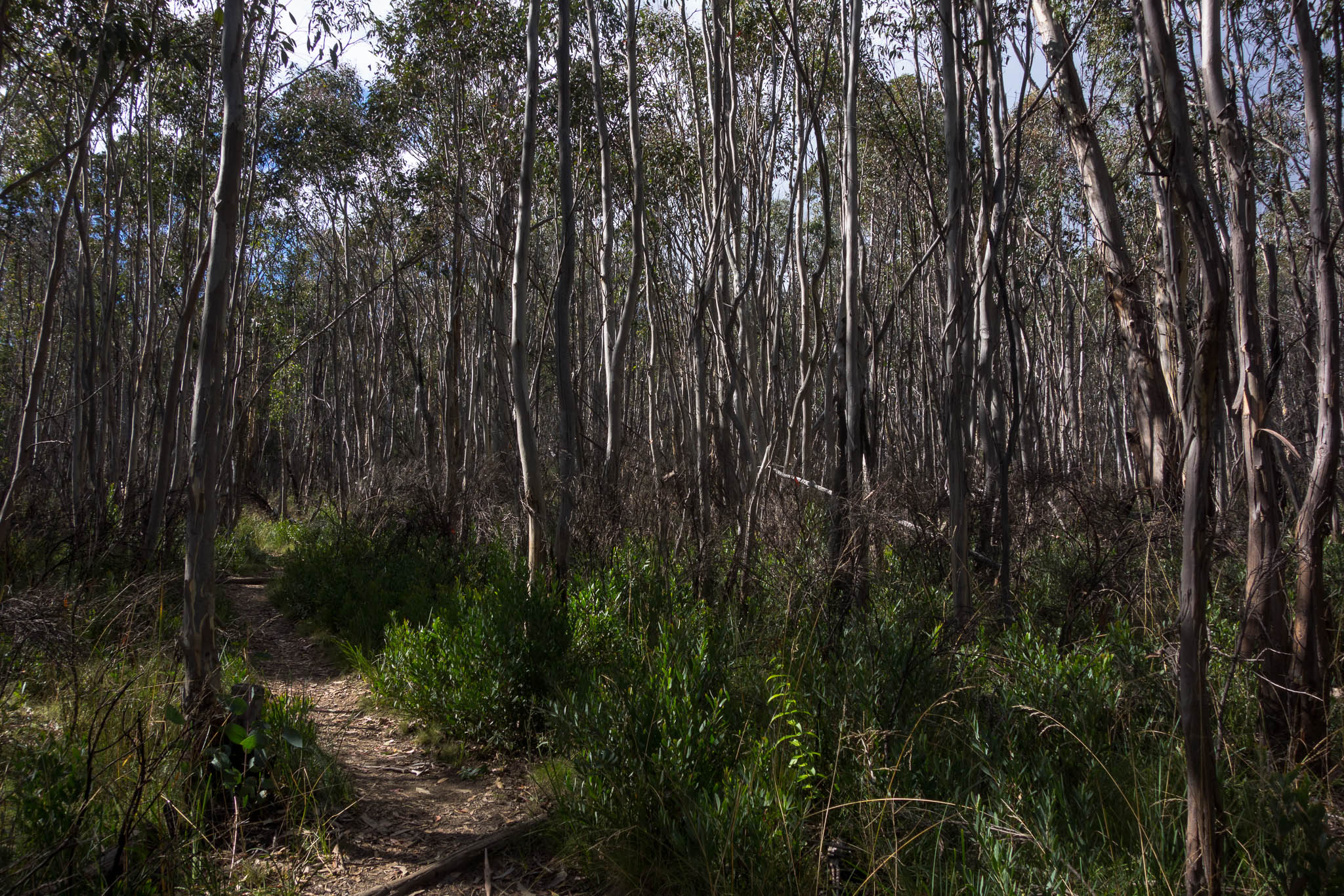
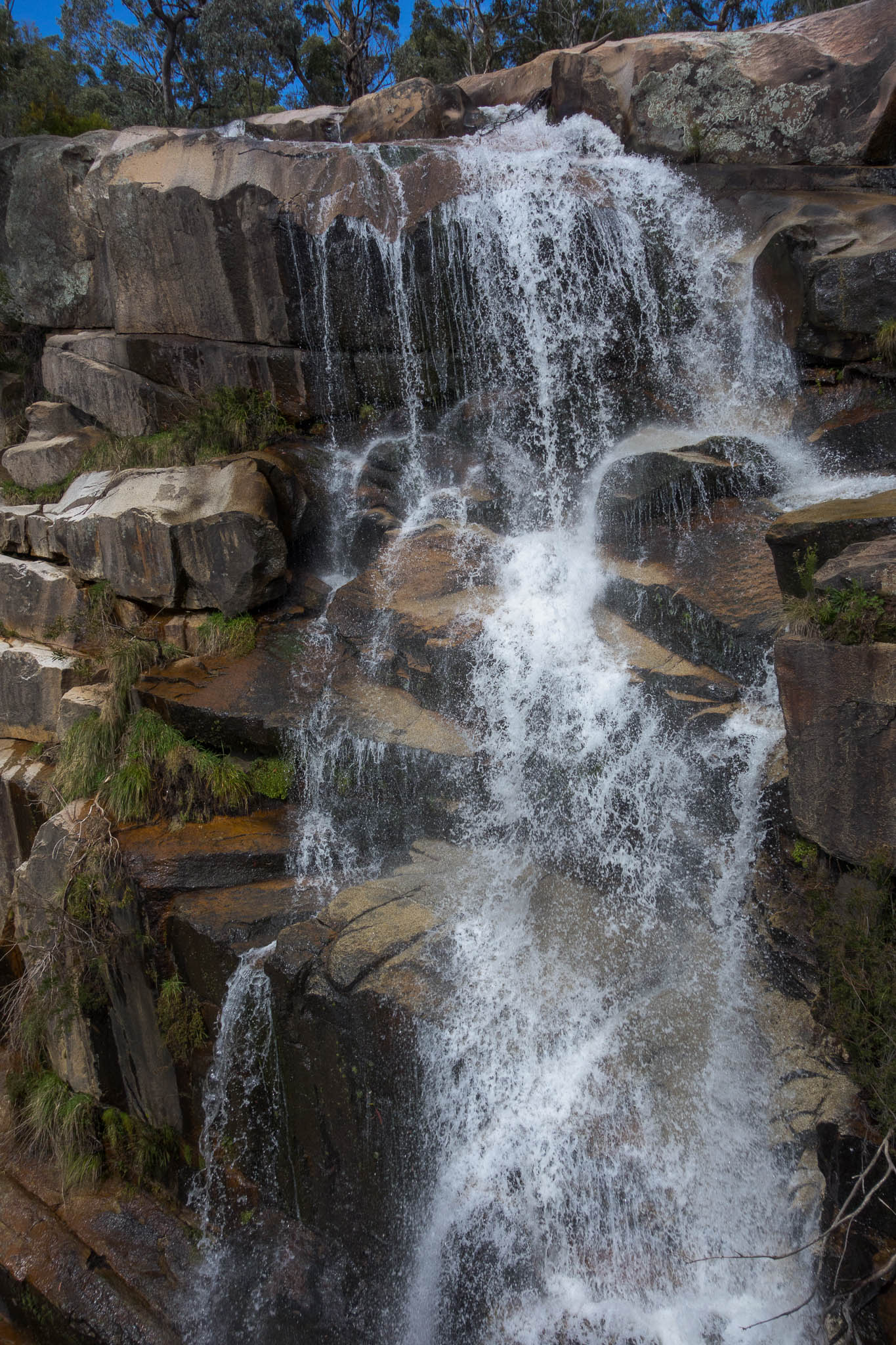
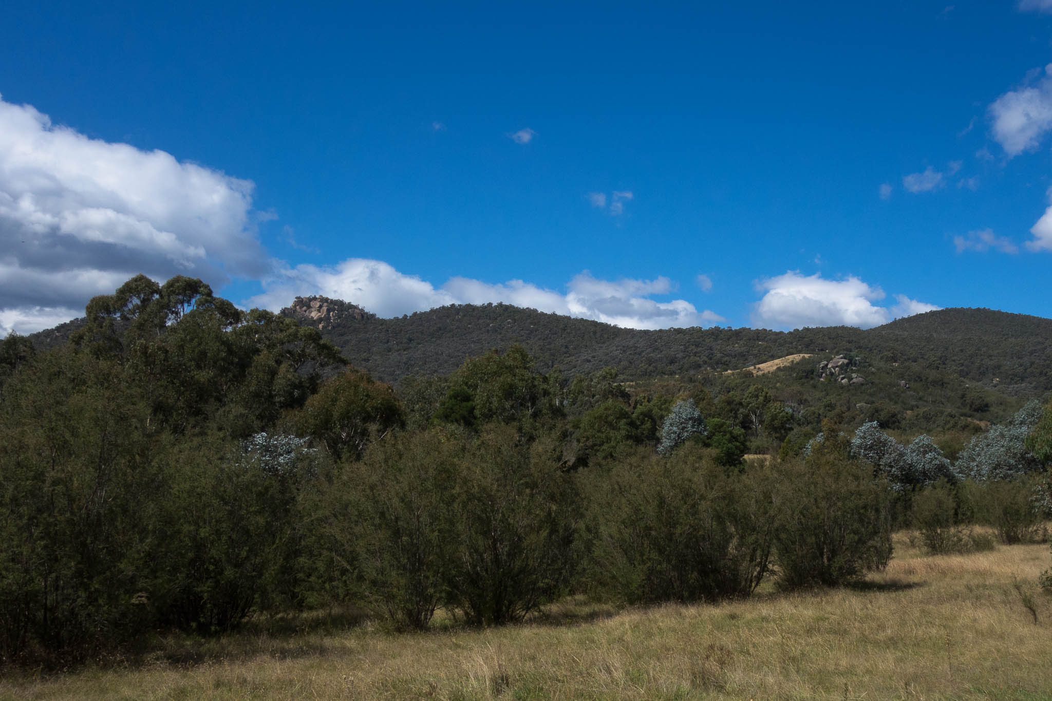
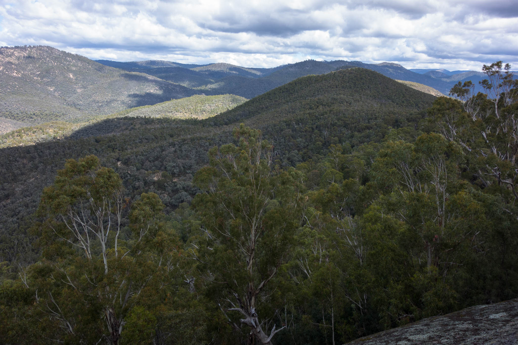
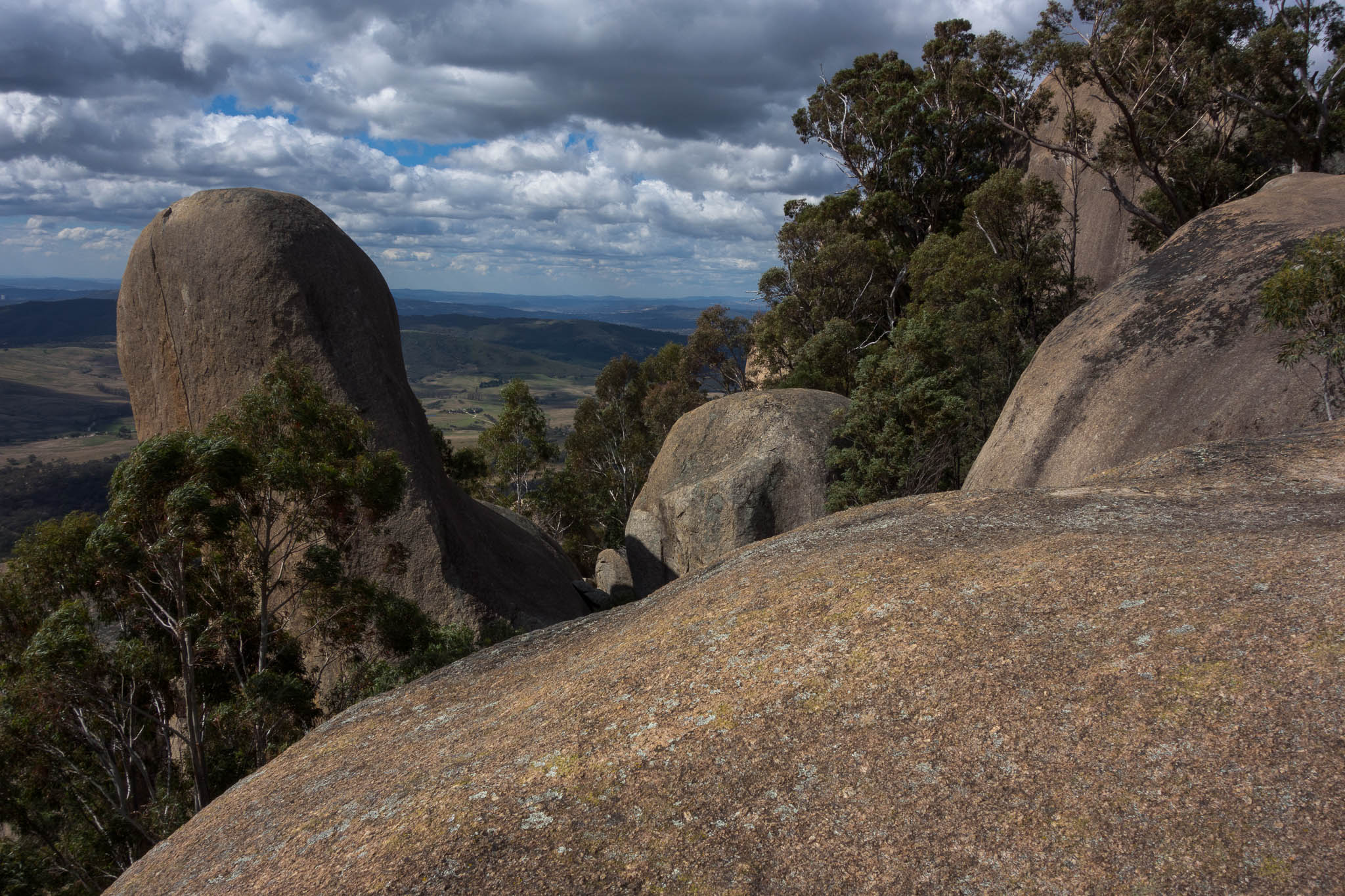
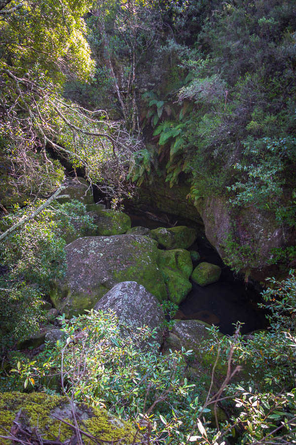
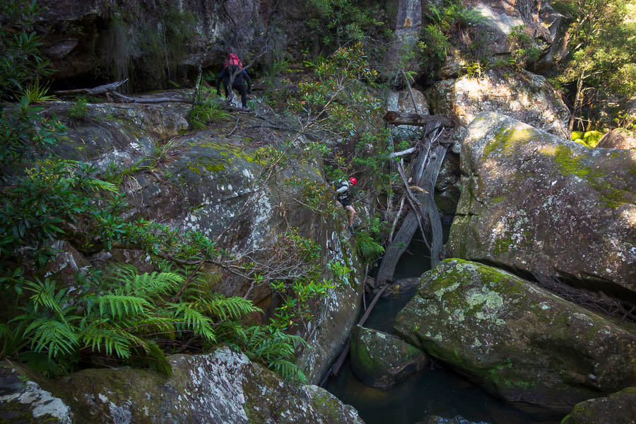
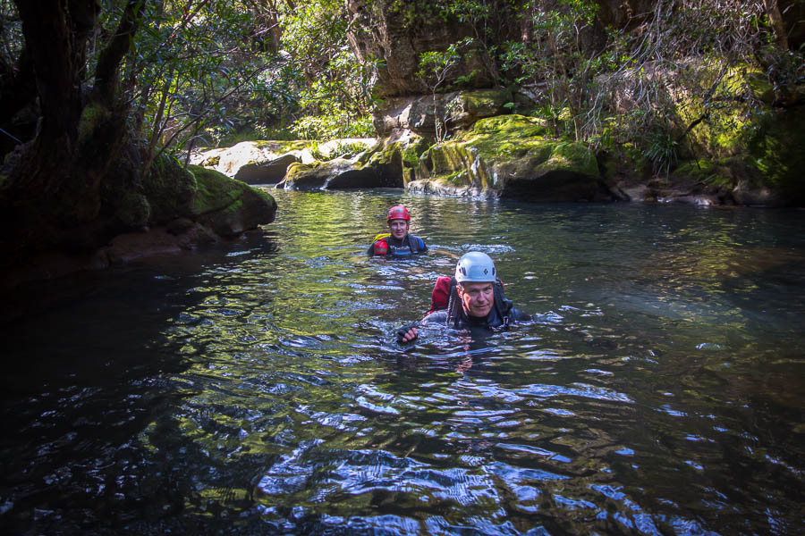
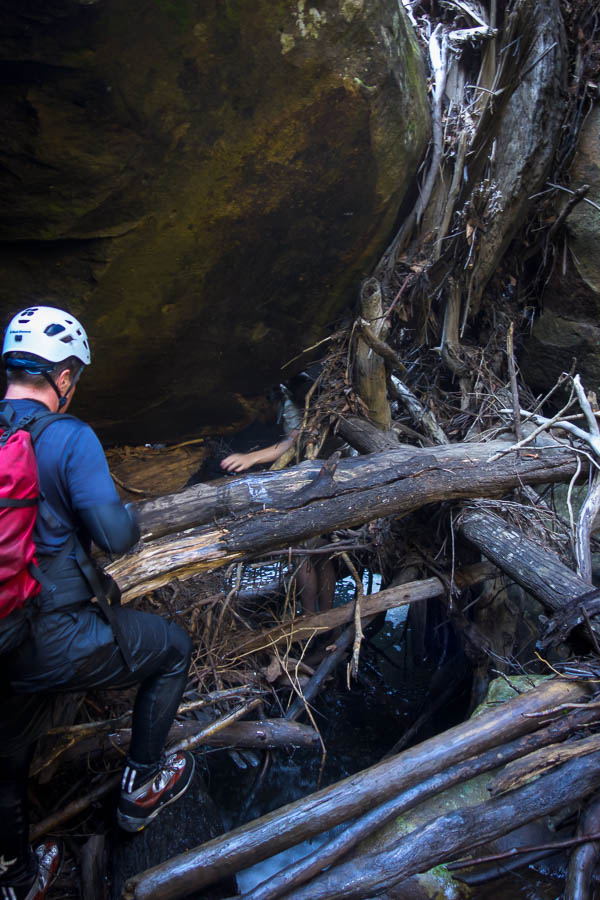
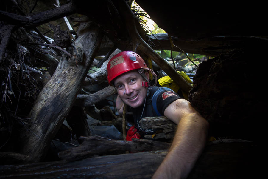
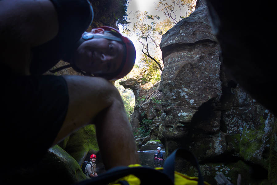
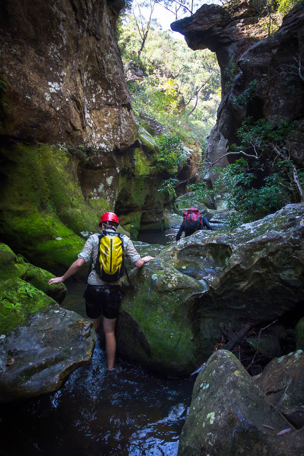
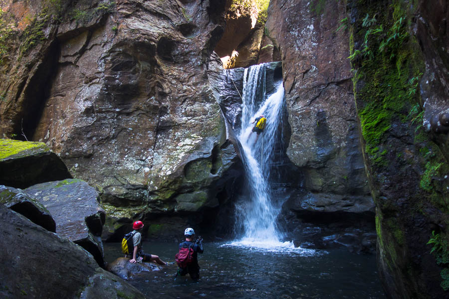
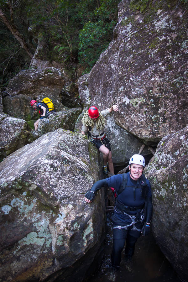
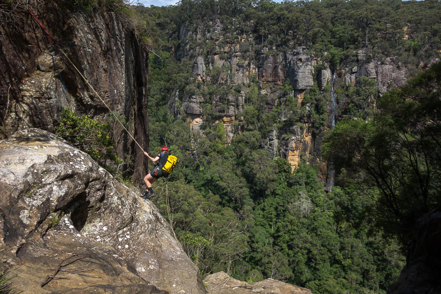
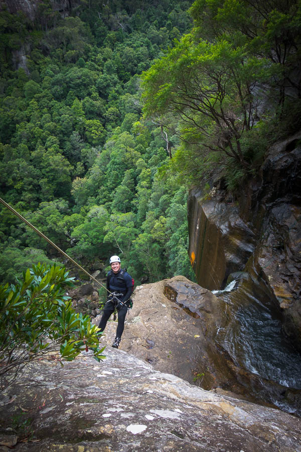
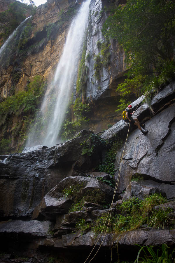
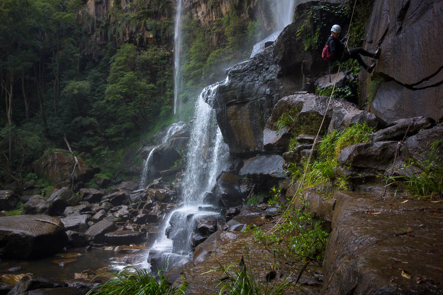
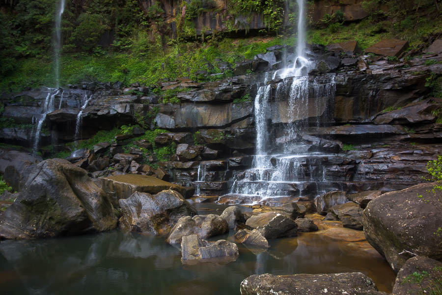
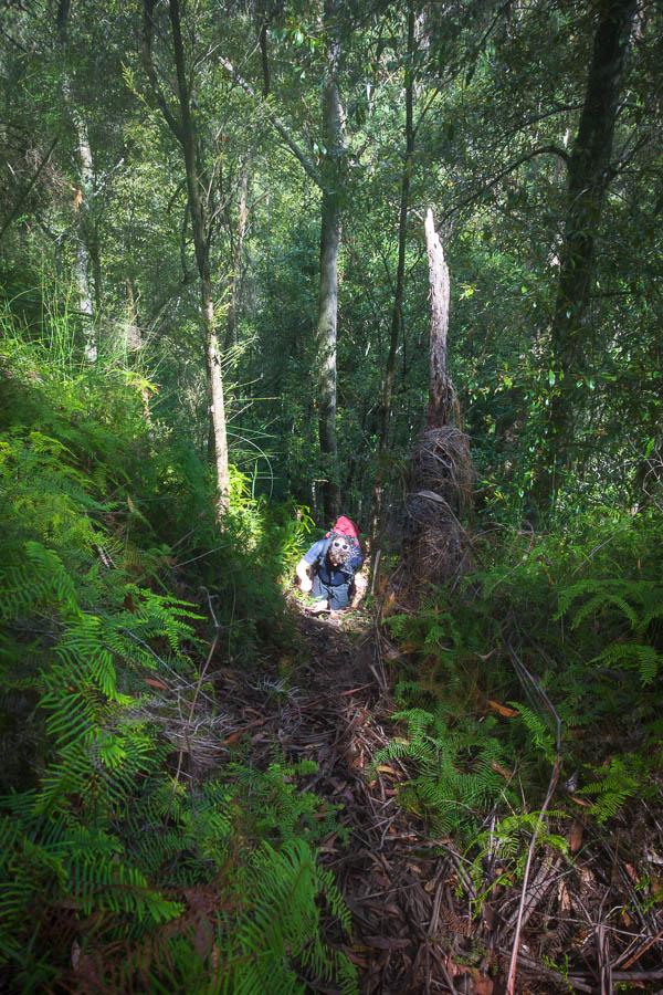
Post-quiz was herding cats time. Eventually everyone was in a car on the way to Bungonia National Park for a bushwalk. We meandered our way around the Green Track, stopping for lunch at the Adam’s Lookout picnic area where James & Naomi managed to join us. Tom has photos from the bushwalk.

Party people at random lookout over Bungonia Gorge

Back at the Barracks it time for some photo board viewing, and a look at the 41 Questions About Rachel.

There was almost a mutiny as I declared there was no drinking until you were in your costume. However, put the right incentives in front of people and they soon do the right thing.

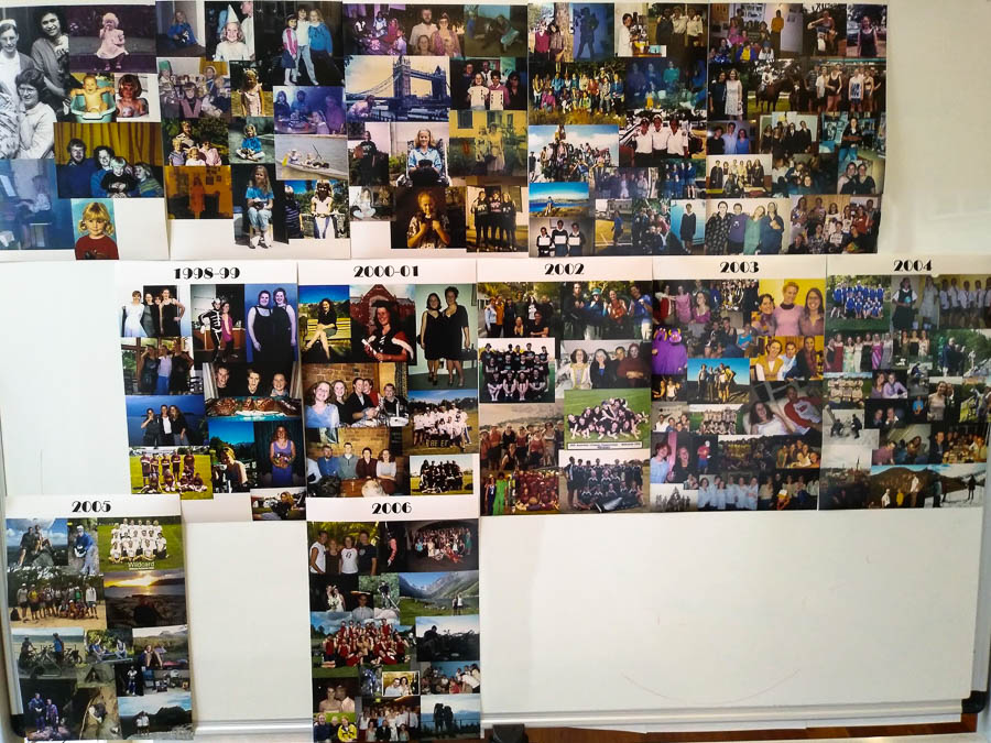
1980 – 2006 photo pages

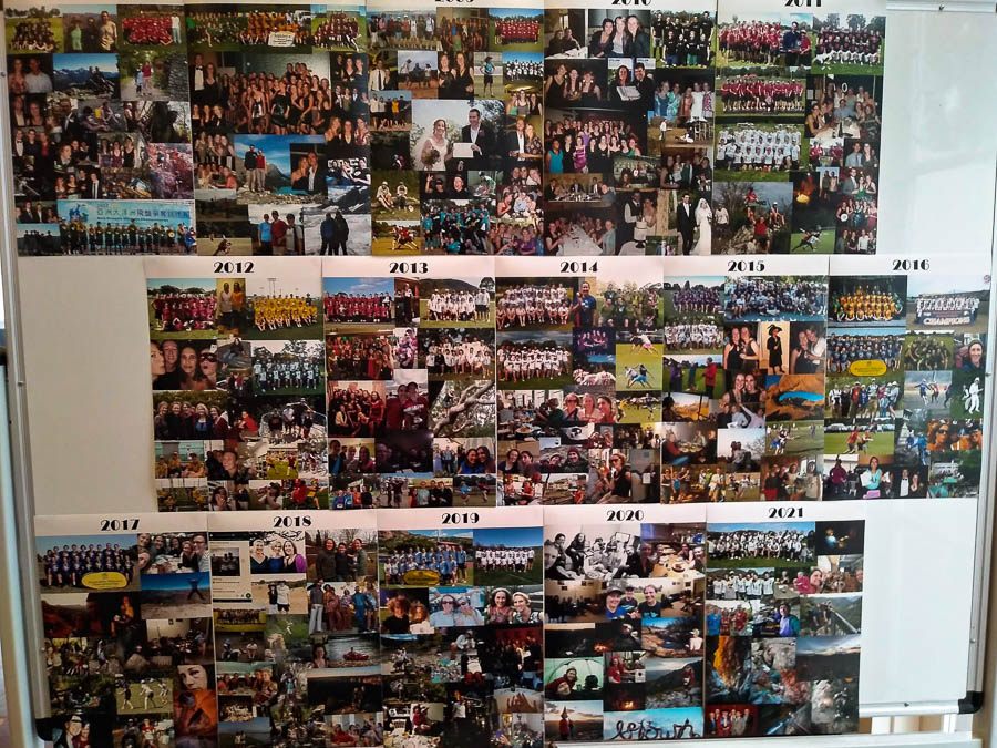
2007 – 2021 photo pages

Costumes were duly donned. Drinking licenses were granted.

I think I can say a good time was had by all. It was a sad moment when AC/DC’s You Shook Me All Night Long came on the play list. This song has a special place in the early Wildcarders hearts and in particular takes us to thinking of Nic Footer. We did our best to belt out the Wildcard lyrical variant, and do it justice in Nic’s absence.

The dancers went hard for 2 hours but had to call soft time-cap at midnight, with hard time-cap following after the classic I Will Survive. Some of the non-dancers pushed on well into the wee hours.

Tom has photos on his website of the party.  Though I have nicked the one below to illustrate this post.

Rachel & Tom the party

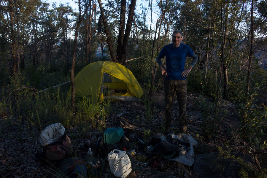
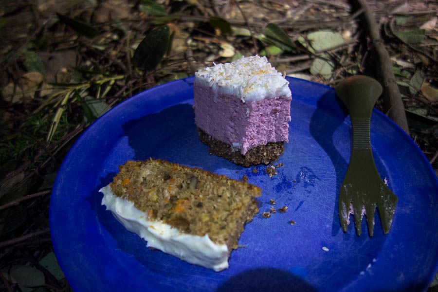
Tom and his band of kitchen helpers had a production line of ham & cheese croissants and waffles produced for Sunday breakfast. We enjoyed another sunny, still morning in Goulburn (BTW it was miserable in Sydney all weekend), before eventually hitting the road home.

Top weekend had – thanks everyone for coming and getting into the spirit of things.

And for the record the top 5 scores for the 41 Questions:

Crossie 9
Gamble 7
Rosalie 7
Laina 5
Chris 4

The Island and Parr West (12-14 June 2021)

Warring thoughts led into this weekend. I was tired and had lots to do – if it was a normal weekend there would be no question I’d be staying at home. But it was a long weekend – you can’t stay home on a long weekend! Initial discussions were for a 4 day trip, or a 3 day trip (Fri-Sun) to miss the traffic. But with the wet weather hanging around in some areas until Friday we ended up making Friday a life admin day. I was much more comfortable with going away by Friday afternoon having put a serious dent in my to do list during the day.

We still didn’t have an actual plan for the weekend though!

Friday evening is a good time to come up with a plan for a three day trip, leaving the next morning, right? Tom ran me through his idea – it sounded good. Might be a bit of a bludge trip he says. No worries.

The plan was predicated on us getting the car along a fire trail we’d never driven. If that failed, Plan B was nearby – but involved swimming the Colo. I was pretty happy when the fire trail did not provide any real obstacles!

So with a little bit of a navigational challenge to start – working out exactly where we’d parked the car – we set off down our ridge. It was reminiscent of another trip in the same area – pleasant enough day, if you could ignore the cold wind. There’d been rain in the preceding days – both of us nervous after having incidents with large chunks of sandstone breaking off with little force applied.

Tom descending our first ridge

On the way down I quizzed Tom about the various passes in the plan. “They should all be straight-forward.. for Colo passes”. “Do you have a tape?” “Yes, but I’m not expecting to use it on the main route”.

We made it into the creek we were aiming for. “Does this creek have a name?” “Creeky Creek” “Uh, thanks”.

Colour in nature

The creek was fun, as we scrambled our way through a series of tiered cascades. I had more fun than Tom as I was wearing my canyoning shoes which seemed to be handling the slightly damp rocks better than his bushwalking shoes.

First waterfall in our creek

The last waterfall involved some slightly sketchy scrambling on my part – prompting Tom to find an alternative route, but we eventually both made it to the bottom without incident.

Last waterfall in our creek

From there it was a relatively straightforward descent to the junction with the Colo. We could have headed up onto The Island ascent ridge much earlier, but then we wouldn’t have completed Pass 29a. And how can you do a 3-day Colo trip without actually getting to the Colo?

Just to prove we did make it to the Colo during the weekend!

After lunch, loaded up with water to take us through to tomorrow lunch time, we took Pass 28 up to the Island. The initial ascent was fairly continuous scrambling – nothing difficult, but lots of use of hands. We stopped for a breather at a nice lookout part way up.

Views of the Colo from part-way to The Island

Tom looking at views (will become a theme)

The Island summit views were pretty good. And there were some spots where we could have scraped together an acceptable campsite.

Tom at The Island summit

Tom was keen to see if we could find a better cliff-edge/camping combo for his photography so we headed down the north-west ridge. And what do you know? A nice cliff edge next to a relatively flat spot. So then we had to climb back up to the summit to retrieve our packs. So how’s that bludge trip going? 400m descent, 0.5km of slippery creek to negotiate, a 500m ascent, plus that extra descent/ascent/descent at the end of the day – yep, sounds like an easy day 🙂

Tom photographing sunset

Tom taking a short break from photographing to pose

Of course, since Tom had carried in 3kg of camera gear, he was out of bed early to photograph sunrise. Not that getting up for sunrise in winter is particularly taxing.

Small fire for our morning coffee at sunrise

After breakfast we headed up to The Island summit again and this time dropped off to the north-east ridge.

Tom on an impressive rock platform

Tom had initially thought we might have camped at the end last night – I was glad we were just doing it with day packs. While we did find a couple of vantage points for views to the Colo there wasn’t anything spectacular for the serious landscape photographer.

Looking down to the Colo!

Back at our packs for morning tea we continued north. The ridge quickly narrowed in a fairly dramatic fashion. There was a somewhat pathetic cairn on the ridge. It was unclear what it was trying to indicate – that you’d made it onto the ridge? that you should drop off on the right as it was slightly to that side?

The right looked unlikely so we tried the left. It was difficult to work out how many levels we needed to get down. We made it down a couple of levels, I thought that was the tricky stuff worked through. But then I got to the top of another drop which I couldn’t see an easy way off.

Tom having got through the first couple of cliff lines

It was only a 2m drop that was stymieing us – but 2m is enough. So even with Tom’s fancy DEM generated 5m contour map it doesn’t tell you all the answers. After a fair bit of hunting around I managed to find a way down and around. From there the ridge was lovely walking, and in the second saddle we dropped packs. We needed to pick up water and since Clews Cave was in the vicinity it seemed wrong not to visit it.

Clews Cave (apparently).

Tom had been to Clews Cave previously and told me not to expect too much. I asked if there were any historical artefacts. He didn’t think so, but that there might be a log book. Sadly the wine bottle shards in the fire place were not artefacts dating back to Major Clews – I don’t think Saltram wine existed in the 1930s. I didn’t have anything to carry out broken glass in so unfortunately they are still there. But seriously, if you can carry in a bottle of wine, carry the empty out with you! We couldn’t find any logbook, so Tom may have just made that up.

Having loaded up with water for the rest of the trip we headed part way up the next ridge before we had lunch with filtered views.

Great views of The Island

Tom had the good grace to have a sandstone block break under him at a spot with excellent views. Perhaps it was just a ploy to ensure we got a long break to take them all in? Having some time to recover from his fall, and decide he probably just had a very bruised bottom, and some flesh wounds we continued. I figured the measure of how much he’d actually hurt himself would be how far he was willingly to go for views/find a campsite that night.

We found a lovely camping section, next to a rock platform with ok views part way along the ridge to Parr West. But Tom wasn’t having a bar of it – the goal was to get to Parr West so we pushed on. Sympathy for his injuries immediately turned down.

Once on the Parr West summit we found a flat camping spot, and a nice protruding boulder for views. Sold!

There at 3pm (ok, maybe the bludge factor is coming to the fore now), meant we could have an afternoon cuppa. Then torn between the two lookouts we found, we decided to have two happy hours – one at each. Sunset was speccy.

Camp night 2 on Parr West

Happy hour spot #1

Happy hour spot #2

That night, we concluded that dehydrated bolognaise and pasta, with fresh zucchini was a very poor choice for a high camp. Dinner was a complicated affair, juggling limited amounts of water (yes, starchy pasta water can go back into rehydrating bolognaise), limited cooking receptacles and limited containers full stop. Once it was all cooked it was delicious – and hey, what else would we be doing with our evening.

Similar to happy hour, the next morning we had our hot drinks at one lookout, and progressed to breakfast at the other. It’s a tough life.

Sunrise spot #1

Sunrise spot #2

Post breakfast we headed west off Parr West with day packs to look for cliff edge views. There wasn’t much in the way of clear views, but you never know till you go. Back at camp, we just had a series of twisting ridges to navigate back to the car. Third day – definitely a bludge day. We ate lunch at morning tea so that we didn’t go home with the remains of a manky avocado.

Tom on yet another cliff looking at yet more views

Afternoon tea in Windsor on a sunny winter public holiday was a bit crazy.

However, we finished the day feeling immensely smug at our choice of location. The traffic news had every arterial road into Sydney with traffic issues (including a horse prancing on the road in Canterbury causing havoc!?), and we just cruised home with no issues. A wonderful, if slightly bludgey, weekend in the bush.

Wanganderry Walls (5-6 June 2021)

With three birthdays in four weeks it was a good chance to revisit Wanganderry Walls almost a year to the day since we first visited.

Tom with Bonnum Pic in the background

Easy walking on the rocky tops

Smiffy & Toni through an arch

Yup, this will do for happy hour

More cliffs during the golden hour

Vivien & Tom checking out the views

Happy hour begins – smoked salmon & horseradish sour cream crackers

Happy hour continues – the healthy stuff 🙂

I should point out in case anyone thinks we’ve gone conservative on happy hour that there was a lot more to come (including Thai pork meatballs with dipping sauce as well as an olive bread) – I just didn’t photograph the rest. As usual no dinner was required!

It was a nice sunset

Happy hour

Lingering light

Mt Colong

Cake time!

Walking out the next day

Chewings Range (15-29 May 2021) – Week 2

If you missed Week 1 you can find it here.

Originally Roger had suggested Day 8 could have a late start from Ormiston to enable coffee purchases from the kiosk when it opened at 10am. However with a hot day forecast and most of us feeling the effects of the hot day yesterday we were keen to get moving earlier rather than later.

The signage at the start of the Pound Walk advised a “cold swim” was necessary via the gorge side so by 8am we had started retracing our steps on the eastern section of the Pound Track. This time we followed it until we met Ormiston Creek, then followed Ormiston Creek most of the way to Giles (SW) Spring where we camped. On the one hand this was an easier day as we had a relaxed pace with plenty of breaks. On the other we were fully laden with another 7 days of food, and feeling the cumulative effects of a week of fairly hard walking. While there were plenty of pools in Ormiston Creek most of them were rapidly being overtaken by algae and it was our most problematic drinking water day of the trip.

Heading back to Mt Giles with fully laden packs

Things for day 9 were a little up in the air as a rock Robert stood on split and he landed heavily on his shoulder. Given the difficulty he had in getting his shirt on the next morning he elected to skip a few days of our route and make his way directly to Bowmans Gap. For those continuing on the planned route this was our earliest start of the trip – leaving camp at 7am.

We encountered another group of bushwalkers shortly after leaving camp – at the base of the Mt Giles ridge. They were from the Blue Mountains, and included Andy Macqueen – author of the book Tom had brought to read. After exchanging pleasantries we continued along the undulating foot of the massif to Upper Oasis Springs. Our biggest ascent of the trip awaited us – Roger had allowed three hours but we were all on top in just over two, in time for lunch. I was very glad of the cooling breeze!

Climbing onto the Giles Massif

And then down the other side!

The ascent had mainly been an exercise in fitness, whereas the descent required a few more technical skills. From Termite Saddle we negotiated a scree slope punctuated with spinifex – only one spinifex clump was firmly sat on (not by my bottom!). Once we’d got down that there was a rocky, steep down climb in the creek, including a section where most passed packs. A relatively large rock was dislodged by items attached to the outside of one of the packs but fortunately no one was directly in its path.

From there Pat’s Canyon creek turned more canyon-y before we were stymied by a (expected) waterfall. The climb out and subsequent descent on the ridge to camp was highly concentration-demanding and quite draining after a fairly long day. The ridge was steep, loose but also covered in spinifex – so the challenge was to keep your footing while not getting pricked by more spinifex than you could help. It was with great relief we all made it into camp without any particular incidents – though the tweezers were justifying their inclusion!

The down was slightly more tricky than the up

But also had more interesting features

Tom above the final descent to camp

We made it!

I think most of us had been hanging on to the idea of getting to the Canyon of Defiance campsite as the plan was to stay here for 3 nights. The prospect of not having to carry a full pack – and indeed not having to go anywhere if you didn’t want to – was a relief after 9 days in beautiful but rough terrain. Raf specifically requested that our start time on day 10 would be late enough that we didn’t have to get up in the dark! Fortunately Roger had already decided on an 8am start and since we didn’t need to pack up a 7am wake-up to coincide with sunrise was perfect.

Everyone headed up the ridge with the intention of visiting “Alexa’s Reach” in the Canyon of Defiance. As far as Roger knew this was only the second time bushwalkers had entered this section of the canyon. Stephen decided by the time we’d picked our way up the loose slopes that a rest day was looking a better option so he headed back to camp. The rest of us descended the steep gully Roger had found after many hours of searching on his previous trip. We followed Alexa’s Reach upstream and managed to negotiate a couple of obstacles, including one which had stymied Roger previously. Surprisingly we had a bit of rain during the day – it evaporated so quickly it wasn’t much of an issue, except for making the rocks more slippery on our return trip down the canyon!

We decided getting down the two drops between Alexa’s Reach and Meg’s Reach was beyond the gear we had. And so we climbed out and dropped into a different gully to access Meg’s Reach. First we headed upstream to the spot we could see from Alexa’s Reach and then downstream – hopeful of finding a way to continue all the way through to camp. Alan found a wriggle under a large chockstone which allowed us to do exactly that which was very satisfying.

Canyon of Defiance – the bottom end of “Alexa’s Reach” looking into “Meg’s Reach”

Tom & Raf taking different routes over the water

Tom & Roger taking different routes up a chockstone block-up

The Balcony

Views into the Canyon of Defiance

Raf & Tom taking in the views

Alan & Roger taking different routes around another pool

Tom at the upper end of “Meg’s Reach” looking up to “Alexa’s Reach”

Tom bridging while Roger & Raf look on

The connecting link allowing us to exit “Meg’s Reach” and continue downstream to camp

Down climb below the gap

The weather changed that evening – the previous night had been very warm, but a cool change and gusty wind gave most of us a very unpleasant night. At one point during the night when Tom got up to I was wondering whether my weight would be sufficient to stop the tent from blowing away! The weather put paid to our plans to stay another day in the same spot. Instead we headed round to Pat’s Canyon to see if we could find the rock arch and how far we could climb up it (not very), and then we packed up and headed across the plains.

In the end the walking was pretty straight-forward so we hit the waterhole on the creek Roger was aiming for after about an hour. So, it was still a rest day of sorts – the weather wasn’t conducive for doing much except hiding in the tent. I wasn’t the only one who had an afternoon nap to make up for lack of sleep the night before. The evening (or at least our campspot) was fairly calm so we had a nice evening – though the lunar eclipse was by and large obscured by a thick layer of clouds. What are your chances? In the best place in the world to watch a lunar eclipse and the only night in 13 where there is thick cloud…

Rock arch in Pat’s Canyon

Some days are crossword days

A more protected campsite than the Canyon of Defiance one (we hoped!)

Possibly Acacia tetragonophylla?

Roger & Raf hoping the clouds will clear so we can watch the lunar eclipse

Most of us had the best night’s sleep we’d had in days! Feeling refreshed we continued along the creek eventually making our way onto the north west ridge leading to the Red Wall. It was very windy on top but we found a somewhat sheltered area for morning tea and enjoyed the views (all the cloud was gone – of course). I thought the day might be a bit of a drag doing a high traverse in the wind, but after we dropped onto the Red Wall proper we seemed to be in the lee of it and the day was quite pleasant.

By mid-afternoon we were looking over the edge of a large waterfall at the top of 13 Pools Creek. This appeared to be something of a budgie highway as squadrons of budgies regularly came racing up the fall and along the creek narrowly missing our heads. It was quite exhilarating to watch them (if impossible to photograph).

The traverse around the top of the creek was impressive and, as we had come to expect, a steep ridge descent amidst spinifex to get to camp. We were pleased to find Robert and Alan waiting for us at Bowmans Gap and have the party reunited. Unfortunately the windy conditions persisted so it was an early night for everyone.

Tom on the north-west corner of the Red Wall

Roger leading the way to the Red Wall

What are they looking at?

An impressive drop in 13 Pools Creek

Yet another steep ridge descent to get to camp

Camp in Bowmans Gap

Tucked into a depression to try and get out of the wind

We were effectively a day ahead of schedule which gave us the luxury of two nights in the same place. That meant our penultimate day only involved day packs – firstly exploring 13 Pools Creek from the bottom, and then in the afternoon a visiting an “attractive little gorge” Robert had found while recuperating and waiting for us to turn up. Additionally Roger, Tom & I hopped over into the next creek upstream which had some interesting scrambling in it and made for a good afternoon of adventuring.

Some of the pools in 13 Pools Creek

At the base of the large waterfalls in 13 Pools Creek

Exploring some small creeks near camp

Somehow we’d made to day 14. For a few days Tom had been promoting the idea of doing the “cold swim” in Ormiston Gorge, rather than walking the same section of the Pound Track for a third time. I was pleasantly surprised to find my packliner appeared to be waterproof so I packed with the intention of swimming as well. Despite Raf’s aversion to cold water it didn’t take much convincing for him to bring his pack on our foray into Ormiston Gorge in case the swim looked doable. The others left their packs at the track junction.

Roger, at least, was disappointed when we found that the “swim” was in fact a chest deep wade. It was a pretty full-on reintroduction to society as we caught up with 2 x 20+ tour groups just before we got to the gorge crossing. They set up a pack passing line and got everyone across – including Raf – though he didn’t manage to slip his overnight pack into their overhead passing line! Tom & I on the other hand decided to wait until the chaos had cleared and cross by ourselves – that didn’t stop the tour leader giving me lots of helpful (and unwanted) tips as I was doing it.

The start of the final day

A rude reintroduction to society – two large tour groups

Once they’ve cleared the gorge we can pretend we’re by ourselves again!

Interesting to contrast the water levels with those from Smiffy & Toni’s trip in 2016.

Beautiful Ormiston Gorge

So Tom, Raf & I had an easy saunter into Ormiston Gorge for lunch, and the others arrived a couple of hours later. A great trip through rough country – Roger’s knowledge and preparation meant we got to see all the good stuff!

Chewings Range (15-29 May 2021) – Week 1

In May 2021 we joined Roger Browne and a few others on a SBW trip to the Chewings Range. It was the first time we’d been in the West MacDonnells since we did the Larapinta Trail way back in 2007. We managed to lose a party member (bad back) before we even got on the bus out of Alice Springs so that wasn’t a great start. 2021 had been unusually wet in the red centre, with considerable rainfall in January, which meant there were plenty of grasses, flowers, butterflies and birds – as well as water – to delight us.

Our first day started from the Ochre Pits and was designed to get us to the Chewings Range as quickly as possible. With full packs, it was a relatively long day. The highlight was Pioneer Pass – where we encountered an over waist-deep pool pretty early on. Roger gamely went in to check just how deep it was but we hadn’t come with packs waterproofed so there wasn’t much enthusiasm for going through the pool. Fortunately Tom found a relatively straightforward bypass on the right which kept us dry.

Starting off through a field of purple flowers

An unexpected deep pool in Pioneer Pass

Tom finds a nifty route around the pool

After a long day of walking with heavy packs we are glad to make camp

On day 2 we did a bit of exploring of the nearby gorges. The main goal was to identify the spot where the photo on page 48 from Henry Gold & Frank Rigby’s book “The MacDonnell Ranges” was taken.

Exploring some nearby gorges the next morning

Roger & the spot from p48 of the book

We’d left our tents up as surprisingly there was a fair bit of condensation on the tents overnight. So after we’d packed up we followed the base of the range (not as flat as you might think) around to a creek junction with good water. Unfortunately the campsites weren’t great but we were coming to realise that the bar for a campsite in Central Australia is somewhat lower than in other areas we walk regularly.

Setting out with full packs after our morning of exploring

I don’t think barbed wire was in the hazards list!

Tom & I score the plumb campsite on night 2!

there were lots of birds & butterflies about thanks to the rain earlier in the year

Day 3 had us ascending Diagonal Gorge. The lower section was full of prickly acacia but it soon gave way to an attractive middle section with numerous dryfalls and lots of scrambling. By lunchtime we were at the saddle where we planned to camp – a surprisingly good campsite. Though at least two party members had experienced close encounters with the spinifex on the ascent so the tweezers got a bit of a workout.

Early morning reflections & Tom

A gully full of evil acacia

The creek gets rocky and so no more acacia (for the day at least)

Diagonal Gorge had some very attractive sections

The team scrambling around a pool

Our campsite in the saddle between Diagonal Gorge & Portals Gorge

After lunch most of us went to explore the upper section of Portals Gorge. There was a lovely section of canyon before we got to the top of a 10m drop (it was definitely 10m as we used our tape, and a walking pole to measure it!). The keener people then climbed out and around to drop in further down and managed to work our way back up to below another drop – so maybe 70m of the gorge that we couldn’t access. Then we headed downstream till we were stopped by another drop – though this one we could probably have got around if there’d been a real need to. As it was it was time to head back to camp.

Exploring upper Portals Gorge

Tom below a couple of drops we can’t get through directly

The iconic ghost gum of Portals Canyon

Everyone else was sufficiently worn out so Tom & I didn’t get any takers to climb up the hill next to camp to watch sunset. It was a pretty good one!

Sunset

Tom & sunset

The wind had come up overnight so packing up on day 4 was fraught with danger – much care needed to ensure nothing blew away. Unfortunately the wind persisted through the morning so we weren’t able to truly appreciate the views as we wandered along the range. After morning tea we had a challenging loose, steep descent to wind our way eventually to Portals Canyon.

Day 4 we head up on to the range. Unfortunately it’s very windy.

The views are pretty spectacular though!

We took a fairly steep, loose route down from the tops

Tom at camp outside Portals Gorge

With the threats of freezing swims only Roger, Tom & I braved Portals Canyon. Roger had specifically carried in a wetsuit & his KT26s, while Tom & I had brought our canyoning shoes and opted for our usual the-less-clothing-is-warmer approach. Portals Canyon was spectacular – though we kept waiting for the swims to materialise. I managed to bridge over one deep wade, and wasn’t that disappointed to find there was only one compulsory swim of about 6m high in the lower section. We guessed that debris had washed into the lower pools turning them into wades – for the moment at least!

Now this is what we’re here for!

Tom in Portals (Freezing) Canyon/Gorge

Not sure that method of stashing a camera dry bag is going to catch on…

Ascending Portals Canyon

Our single swim

We made it as far as the point where we’d got to the previous afternoon, and spent a bit of time looking at the options for forcing our way up. Apparently some parties are so cold having gone through the canyon they can’t bear the thought of the return journey and climb out and down the ridge. None of us had any desire to do the ridge again and were more than happy to enjoy the return journey through the canyon – I appreciate we probably had warmer conditions than normal.

Ascending to just below the Ghost Gum we visited the day before

While we’d been exploring Portals the others had been around to False Gorge. Raf mentioned they’d been stopped by a pool – which was like waving a red rag at a bull. Despite it being 4pm I immediately suggested to Tom we should go visit since we’d be happy to go through the pool. I was somewhat disappointed to find that it was not just a pool that stopped them – but a 20m waterfall on the other side of the pool!

False Gorge

The main camp at Portals

Sun on the Portals ridges

By day 5 the packs were feeling lighter as we set off around the base of the Portals Massif in some of the easiest walking conditions we had. We climbed across the low point of the ridge, descended to then immediately ascend a different ridge and find ourselves at Upper Giles Yard Spring. There were lots of pools of somewhat questionable quality just above the main drop, and better quality further up. Tom & I went for an explore further up the creek in the afternoon – and enjoyed finding a shady gorge to relax in. There wasn’t a lot of shade as most of the trees had burnt in the fires a couple of years earlier.

Some easy cross country the next morning

Termite mounds & funky clouds

Upper Giles Yard Spring

Exploring Upper Giles Yard Spring

The luxury of a (not very warm) wash

Our sixth day was one of the best traverses I have done. It was a fairly hard day with quite a lot of up and down on the rocky ridge, with some interesting scrambling along knife-edge sections. The views were great, the walking was interesting, and we found the lone surviving tree so that we had shade at lunchtime.

Starting a spectacular traverse the next morning

One of the narrower sections of the traverse of the Giles Massif

Tom & Raf

Morning tea exposure

Raf at the top of the chute

Roger looking on as Robert & Tom ascend the chute

One of many flowers

The only tree (& therefore shade) on the whole traverse. Great spot for lunch!

We made it to Mt Giles by early afternoon. Robert & Alan decided to head down and camp at the bottom which left the rest of us to draw straws for the camp sites. I got lucky and got first choice so Tom & I had the prime campsite. The sunset was one of the best I think I’ve seen… All in all it was a great day.

Mt Giles

We draw the long straw and got the prime campsite

This is the life

Room with a view

Sunset was spectacular

It was amazing

We had a fairly long day into Ormiston on day 7. Roger was keen for an early start, so the alarm was set for 5:10am. Eek! Tom & I stuck round a bit longer than the others at the top to wait for the sun to actually rise (and take photos!) before joining everyone at the bottom by 8:30am. After filling up water at Giles (SW) Spring we then had a fast march towards the Pound Track. It was the hottest day to date and we were all glad of some shade at lunchtime. It was a pretty hot, weary party that eventually made it into Ormiston – though the motivation to keep up the pace was definitely there since the kiosk closed at 4pm. It was a very quiet group as we sat round inhaling ice creams and iced coffees.

Sunrise wasn’t bad either

Mt Giles in the early morning light

Once was spinifex

At the end of a long, hot day on the Pound Walk into Ormiston to resupply

Mentally it felt like this should be a chance for a rest – but it wasn’t – there was the opportunity for a shower but then it was time to sort through our food drops, eat 5 avocados (if that’s what you’d packed in your drop!?) and get to bed since it was going to be another hot day tomorrow.

Week 2 is here.

Orange Bluff (8-9 May 2021)

Nothing went exactly right on this trip. The issues started well in advance – firstly with some somewhat hysterical reports on the internet about the difficulty of the regrowth on the ridges post-fires, and then the apocalyptic rain several weeks in advance damaged the road to Hampton forcing a longer drive via Tarana. Then the week prior to the walk there was another deluge of rain – bringing concern about the level of the Kowmung. What was meant to be a reasonably straight-forward overnight walk with few unknowns now had an exploratory feel to it!

Unsurprisingly after 60mm of rain in Hampton in the previous three days (and a lot more in other nearby areas) Kanangra Main & Kalang Falls were pumping. There were great views of the white water streaming over multiple waterfalls down to Kanangra Creek in the valley.

Kanangra Main was pumping

We had morning tea at Cottage Rock. Up to that point track conditions were relatively normal – other than getting more views because of the burnt surrounds.

Descending towards Coal Seam Cave

The regrowth mainly reared its head once we got to First Top. We spent a few minutes pushing out way through incense plants twice our height but it wasn’t long before we were spat out on a rocky section that didn’t seem to have enough nutrients for any plants to grow. The descent followed a similar pattern – some sections that were fairly ‘normal’ and then others with very tall regrowth. Most of the plants grow vertically and don’t have thorns so other than being slow they weren’t difficult to move through. There was evidence of others’ passage through which also helped.

Arriving at the Kowmung mid-afternoon it was time to assess what impact the heavy rain in the preceding three days would have on our route. Leaving most of the party to contemplate Orange Bluff, Tom & I headed downstream to see if there were any safe crossing points.

Orange Bluff + 6 walkers

The water was clearly up – lapping over grass and many of the casuarinas (the ones still standing) had their bases covered by the river.

The Kowmung was flowing strongly

Orange Bluff in sun

We did find 3 packets of two-minute noodles carefully strung up in a tree but sadly no crossing point. The Kowmung was flowing quickly and looked to be around waist deep at the shallowest spots. That put paid to plans to continue on to Rainbow Bluff.

I assume someone was planning on coming back for these!?

Despite the forecast of no rain in the middle of the night it started spitting. I was especially glad we were not camped on the other side of the Kowmung needing to cross back to exit. It sounded like the sort of rain which would let up fairly quickly but it didn’t – continuing for the rest of the night fortuitously stopping just before 6:30am.

Early morning cloud

Camp

So on Sunday since we hadn’t been able to move downstream we were just left with retracing our steps up Brumby Ridge. It seemed easier than the descent – probably because picking the worn lines through the scrub was more straightforward going uphill. It was lovely weather for climbing hills – overcast and not too warm.

Regrowth. Fortunately relatively easy to move through.

By the time we got to the plateau the sun had come out a little and so we took in the views, along with plenty of photos.

The intrepid bushwalker

Mt Colong from the plateau

Oh, what a feeling!

Bushwalkers

We admired the last of the pink flannel flowers as we returned over the plateau.

Still a few pink flannel flowers about

Classic Kanangra vista

Yalwal the first (1-2 May 2021)

As usual there was a mad scramble to pull together some walks for the program as I was putting out the draft. I’d been looking at walks out of Yalwal for a while and now that it was back open (council must have decided the dam wasn’t that dangerous after all?) it seemed time to go. The regrowth from the fires was somewhat of a concern – but I figured it couldn’t (yet) be worse than Morton pre-fires!!

Initially I was just going to follow the route from Ron Doughton’s book. But after reading the instructions for day 2, that involved following the 200m contour on an old track, I decided perhaps a revised route might be in order.

No one in the party had been to Yalwal before so it was an exploratory experience for all. The council signs threatened locked gates at 5pm each day, so I thought it best to park outside the gate just in case we were a bit late getting out on Sunday. The spillway from Danjera Dam was spilling and the party had a variety of approaches. Some waded through with no thought to immediate wet feet, others went barefoot, and a couple took a considerable detour to try and stay dry.

Tom going to great lengths to keep his feet dry at the start of the trip

Easiest walking all weekend!

After crossing the dam we were straight into the ascent. It wasn’t long before we encountered some regrowth that slowed the pace. Eventually we got through that and attained the spur onto the plateau where we had morning tea. Peter and Alex launched into a discussion of tidal moon locks from two weeks earlier as if it had never ended.

Morning Tea. I believe the discussion is the tidal lock of the moon (don’t ask)

From there we hugged the eastern edge of the plateau and got our “Fine occasional views”. I decided the rocky nose we could see in the distance would be our lunch spot – it looked a fair way but based on the map it couldn’t actually be that far. And so lunch was had at a very reasonable time of 12:30pm. The progress had not been quick to that point so my aspirational goal of Fletchers Crown was discarded.

Lauren & Peter checking out the views

Needed to be careful wandering around the cliff edges!

After lunch we took a more direct route to the end of the plateau. Hampered towards the end by vines, but after some persistence we found ourselves on the rocky outcrops at the southern end of the plateau.

Emerging from a particularly unpleasant section of vines

Views out to Fletchers Crown – another time!

We had seen a couple of seemingly random cairns, including one on the eastern side – Tom checked out whether it was marking a pass but nothing was apparent. So instead we descended a small gully on the western side, and then found ourselves negotiating another vine-laden section before getting to Morley Saddle. While short, its narrow, rocky traverse was one of the highlights of the day.

Descending off the plateau

More fun vine times!

Morley Saddle

I said we weren’t going to do any “^&*# sidling” but with plenty more vines underfoot I decided sidling was the less painful option. We soon found ourselves on Atkins Spur and began our descent. Initially it was good going, then I veered off onto a minor spur. Tom called us back and took the lead. Soon we were engulfed in the worst tangle of scrub of the weekend. Over head high growing in all directions, plus going downhill. Tom was in the lead for about 10 minutes before he relinquished the vanguard back to me. Needless to say we were all pretty happy when we reached Bundundah Creek. Except that there wasn’t a good looking campsite option. I went off upstream and found something a bit better for 8 people. My communication had clearly been deficient and the others had been busy collecting firewood and selecting campsites while I was gone. Nonetheless I hope everyone agreed that despite having to walk upstream for a couple of hundred metres we ended up with a superior option.

Creek crossing to get to camp

Camp!

It had been a warm day, and we’d all sweated profusely – some had run out of water. A wash in the creek was most welcome – if pretty chilly. We had a cheese filled happy hour, including fried haloumi. The evening was mild despite the clear sky. I was relieved when the time became something with a 9 in front of it so I could head off to bed – though the others seemed to be up for a while longer.

I perhaps was too generous in my starting time for day 2, given the pace on day 1. However, the time had been set, and so at 8:30am we headed downstream on Bundundah Creek.

Some are more gourmet than others

Breakfast fire

We had a number of creek crossings – they became easier as more people decided to get their feet wet. Though Tom (& maybe Alex) were prepared to work harder than everyone else and kept their feet dry the whole way.

One of many creek crossings on Sunday morning.

Pink granite started appearing in the creek. Initially we thought maybe it was just a brief intrusion, but it continued until the point where we exited. It was a highlight of the trip.

The granite begins

Still pool

Looking downstream

Alex negotiating a bluff (the ripples in the water because Jo knocked a handhold off!)

Granite cliffs

More granite & cascades

Nice walking

Beautiful spot

Reaching a particularly lovely section of shallow cascades I gave the party the option of an early lunch, then the climb, or to just get on with the climb. No one seemed to have an opinion so we went with mine – to get the climb done. After filling up with water (probably more generously after yesterday’s consumption), and a couple of head dunkings we were off.

Time to fill up water

We were happy that the ridge was relatively open and the difficulties were confined to it being warm and a 400m climb.

Jo & Lauren at the base of the cliffs

Lunch was in a somewhat shady spot just below the top of the cliffs with some nice views out over the valley. In retrospect if we’d kept going onto the tops we’d have found shade, similar views and a bit more space – but we’ll know for next time. There were dire calculations at lunch that we’d be pushing it to be back at the cars before dark. Quietly I was confident we had plenty of time – but you never want to say that out loud.

Views just after lunch

I was surprised to encounter a completely unburnt section – fortunately not very long. From there we picked up a similar route we’d walked the day before – though this time taking in some views on the western side of the plateau. Having been at the front almost all of the trip I was very happy to give that spot to Alex for the final descent back to Danjera Dam. The scrub really wasn’t that bad from the back of a pack of 8 walkers!

Danjera Dam

The final stretch

And so we re-crossed the spillway at 4:30pm – plenty (well, enough) light left in the day.

Tom taking the more direct route on the way back

Back in Nowra we had hoped to head to the Bridge Tavern for dinner – only to find it had closed down. Fortunately Lauren’s googling found us a replacement in walking distance from the car park. The Postman’s Tavern had a $12 burger special on Sunday nights – a more than worthy replacement to the $10 dinners we had been hoping for at the Bridge. Alex inhaled his 3 pattie “Beast” in half the time it took the rest of us to eat our slightly less extravagant burgers. Everyone’s cars started after dinner so from start to finish a successful weekend.

The Beast (at the back)


Jerrara Creek (17 Apr 2021)

Stop the press! James was available for a second canyoning weekend less than 3 months after our last trip. However, true to form, the weather was not looking great for the weekend. I looked at the where the rain was going to be, and suggested heading south might be the best bet.

After a series of indecisive conversations through the week we did make enough decisions to end up on our way to Bungonia on Saturday morning. We had a relatively late start as we’d been discussing Long Gully – and we’d been at the Shoalhaven for lunch when we’d done that trip previously. However, Tom was now angling for Jerrara Creek. It was only while we were driving down that I looked at his notes and saw the 8-11 hour time estimate. Well. With our likely start time we were going to have 8 hours of daylight. Better make sure we all pack our torches, or hope that 2009 Tom who wrote the notes had been over-estimating the time needed.

After doing a lap of the campground (no, it’s not like we’re pressed for time), and the disappointment of finding the Bungonia campground did not permit wood fires (no, I didn’t pack a stove), we left the car at 9:45am. It wasn’t long before we were wet-suiting up in Jerrara Creek. We proceeded pretty smoothly through the canyon.

DSC04998

James abseiling the first drop

DSC05000

Tom & James “enjoying” a swim – not the warmest day!

DSC05003

Impressive drop

DSC05007

Tom on his way down

DSC05009

James descending the same drop

It’s been a while since I’ve done a canyon with a lot of long drops, and even with only 3 of us, I’d forgotten just how it takes to get people down.

DSC05018

James on the first pitch of Jerrara Falls

DSC05026

James at the start of the second pitch of Jerrara Falls

DSC05028

The third pitch of Jerrara Falls

DSC05030

View of Jerrara Falls

We enjoyed the brief periods of sun we got and were pleased to find the clouds had largely cleared in time for lunch.

DSC05032

Lovely lunch spot and time to warm up

We left our lunch spot at 2pm that gave us 3.5 hours till sunset – seemed like we wouldn’t be needing to use the torches – but you never want to be too confident!

DSC05037

Tom descending into the shade

DSC05039

Big country (and another swim looms)

After the swim in the photo above we had a longish section of boulder-scrambling which we moved through pretty efficiently. I was sweltering in my wetsuit and when James joined my pleas we stopped at a lovely spot to get changed. It would have been a nice spot to camp but I was not unhappy to only have our day gear with us – lugging a wet 60m rope makes a pack heavy enough.

DSC05041

This was such a tranquil spot

From there it wasn’t long till we hit the exit. Though I think James was a little dubious about this being an NPWS track given the state of it, particularly at the bottom. My legs haven’t felt so sluggish on a hill in a long time but we made it to the top without really stopping so I can’t be that unfit!

DSC05043

Slogging our way up the Red Track

I think we were back at the car around 5:15pm, so all up 7.5 hours. Perfectly timed really in the end – what with the sun at lunch, and doing the climb out in the shade with the lovely evening light.

Fortunately James had a stove so our night wasn’t a complete disaster, particularly after a bottle of red and some fortified shiraz 🙂

ACT adventures (9 Apr 2021)

Square Rock walk had been suggested to us a couple of years ago but we’d never managed to get there. I finally had an opportunity to knock it off. It was a very pleasant walk through eucalypt forest up to the granite boulders look-out. I did the side trip off to Orroral Valley Lookout but I didn’t find a lookout – not sure if there is one, or if you just get to the edge of the plateau. Given it was a Friday I was a little surprised to see 5 other groups on my way down!

DSC04960

The ladder at Square Rock

DSC04971

Uh-oh

DSC04964

Views from Square Rock

DSC04968

Aforementioned cliffs

DSC04972

Beautiful forest

I stopped and did a short way to Gibraltar Falls on my way back down the road.

DSC04977

Gibraltar Falls

Before heading to Tidbinbilla Nature Reserve and walking to Gibraltar Peak. I started from Dalsetta, and then did the full loop back via the Visitor’s Centre – where of course I stopped for a coffee and use of the wi-fi!

DSC04979

Gibraltar Peak from the logbook at Dalsetta

DSC04985

Views from my lunch spot

DSC04987

Views from the other side of Gibraltar Peak

DSC04989

The best kind of break part way through a walk

First time in a while where I’d done so much track walking (and therefore kilometres) in one day. Square Rock Lookout (incl Orroral Valley Lookout) is 10.25km according to the brochure, and the Gibraltar Peak Loop was around 13km.

What a Canyon! (13 Mar 2021)

It’s the SBW reunion weekend so of course the forecast is for rain. It’s also an La Niña year. So it’s a lot of rain forecast. Hmmph. The forecast was not looking good for our canyoning plans on Saturday with around 50mm of rain predicted for Thursday & Friday. Tom checks on Friday morning and Robertson has recorded 0mm. Excellent. I wasn’t feeling quite so good when later in the day he checks the surrounding weather stations (Fitzroy Falls & Broger Creek) and they’ve had 50mm. Fingers-crossed that there were some very localised storm cells… and not that the Robertson weather station isn’t working!

I had been contemplating not going – with a multitude of injuries (left wrist, right thumb, calf… ) but when Tom said it was a fairly short day, I decided I’d be able to make it through.

After a couple of delays (failing to download the information on Tom’s phone before dropping out of mobile range, for one) we set off with Jon & Alex. Alex & Tom had attempted this trip some years earlier, on another wet reunion weekend, and bailed because of water levels being too high. Tom has no photos from that trip as he’d drowned his camera the day before – so his memory of what the water was like on that trip was sketchy. The water level looks approachable so we wetsuit up (well except for Alex who is wetsuit-less).

DSC04858

Water looks relatively benign from here

DSC04860

Alex on an early scramble

I was pretty glad to get into the water as it was a humid day (forecast high around 30°C) and I sweaty after just a few minutes. I can’t imagine how Jon was feeling in his steamer.

Jon & I made each other feel so much better about the day by admitting each of us been having “bad feelings” about the trip. Probably brought on by the canyon’s history – a fall/paramedic fatality a few years ago and then last weekend a tree/rockfall narrowly missing a party.

DSC04862

Jon looking somewhat unimpressed

DSC04868

Alex disappearing through a hole in the log jam

DSC04871

Tom trying to find a way through the hole

DSC04874

The team and a pretty section of canyon

DSC04876

Without Tom blocking the view

DSC04877

Canyon

DSC04879

Eternity pool?

Before long we were at the edge of one of nature’s eternity pools. Somehow I got to go first and find out just how much power was in the water flow. Emerging unscathed, other than my camera (the dry bag is definitely no longer a ‘dry’ bag), I was glad it wasn’t any stronger.

DSC04888

Alex emerges from the waterfall

DSC04894

Jon getting smashed

DSC04896

Jon near the bottom

DSC04899

Tom before the worst of it

DSC04903

A bit of boulder scrambling

DSC04909

Tom checking where he’s going

DSC04918

Jon all smiles now

DSC04923

Alex on his way down

DSC04932

Jon wondering where to stop

DSC04937

Tom nearly at the bottom

DSC04942

Not quite at the bottom yet though!

DSC04945

Final short abseil

We had lunch at the bottom of the big fall enjoying the views of the beautiful waterfall.

DSC04947

Lovely cascades

DSC04951

Pretty

From there it was a straight-forward walk out.

DSC04952

Jon on the way out

My main complaint at the end was that we were out too soon after lunch! I hadn’t really worked up an appetite for something from the Robertson Pie Shop. Nonetheless that didn’t stop me indulging in a caramel macadamia tart.

An excellent short day, giving us plenty of time to get to the reunion, enjoy a swim in the river before settling in for a convivial, if occasionally wet, night around the campfire.

1 5 6 7 8 9 19