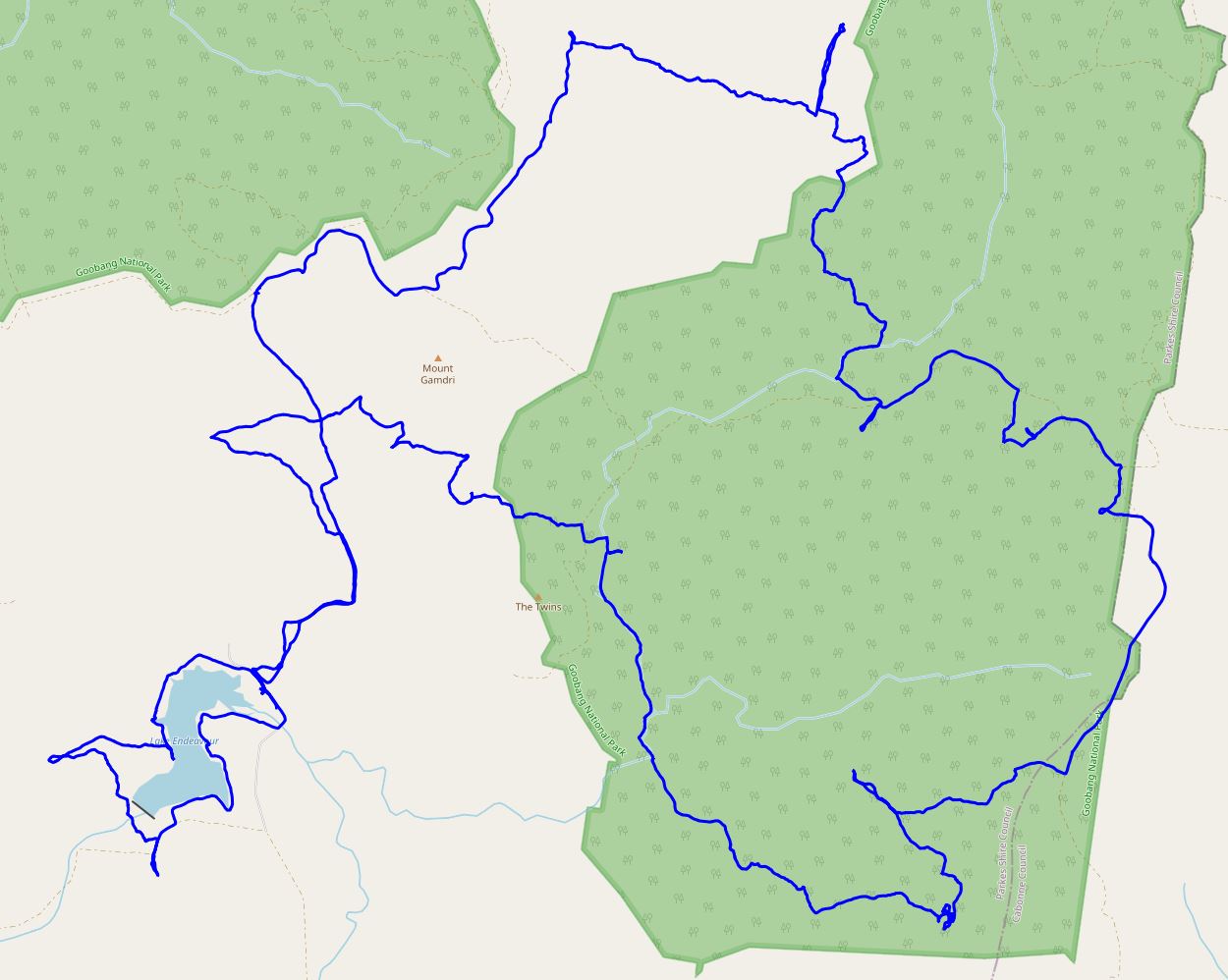
Aus Rogaining Champs – Goobang (30 Sep-1 Oct 23)
The 2023 Australian Rogaining Championships – the pinnacle of the sport in Australia. This year the Champs were held in Goobang National Park and surrounding private properties. Goobang National Park is near Parkes in Western NSW. It was set in the southern part of the National Park which is not normally accessible due to being surrounded by private property. It was only my third long (>12hr) Rogaine.
Lauren & I had done NavShield and the Lake Macquarie Rogaines together in the last few months and our low key approach to the Aus Champs started from this initial conversation:
“Just thought I’d check whether you had any interest in doing the National Champs in Goobang on the Oct long weekend? I have been umming and aahing over whether I want to spend my Oct long weekend doing that or not. Still not sure!”
“I do have some interest … yet to have made any other plans for the long weekend partly as I had been thinking about the opportunity to see Goobang NP.”
(2 days later..) “So does that mean we have agreed we’re doing it…. ?”
“I think it might mean that!”
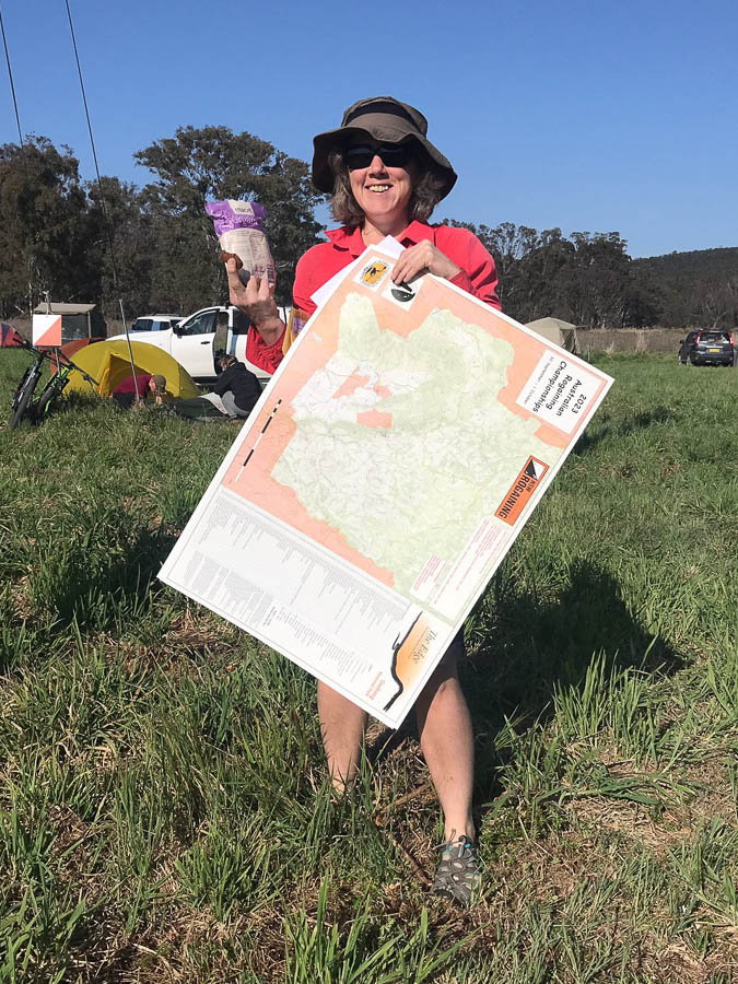
Our relaxed approach meant we hadn’t discussed whether we were sleeping or any other strategy for the event. On the drive up we confirmed that we both expected to sleep at some point – but would need to see the map to decide if it was going to be on the course or back at the Hash House. It took all of 2 minutes looking at the very large A1 map to decide sleeping at the Hash House was the go.
I think the heat may have already been affecting our thinking as we did our planning. With so many unknowns: vegetation, terrain, how the heat was going to affect us; the course plan seemed like a nebulous concept. We didn’t even bother planning how we would finish our initial loop back to the Hash House. And why we would we need to work out how many km we had planned!? This was going to come back to bite us many hours later, but blissfully unaware of this, we made our plans while hiding in the shade of the bus.
It was so unfortunate the weather had turned out as it did. Had the event been a couple of days earlier we would have had far more reasonable temperatures, but Saturday’s forecast high was 30°C, overnight low in the mid-teens and then Sunday’s high was to be 34°C. I said to Lauren just before we started “What are we doing here? If this was the forecast for a bushwalking weekend I would be in a canyon or creek, not ridge walking all day!”.
Nevertheless, we were here, and at 11am we were off. Just to add to complications the daylight savings change was mid-event, so we were starting at 11am AEST and finishing 24 hours later at 12pm AEDT*. Not that anyone needed to worry about auto-updating devices since the rules of rogaining ban those – just ‘dumb’ watches and compasses allowed.
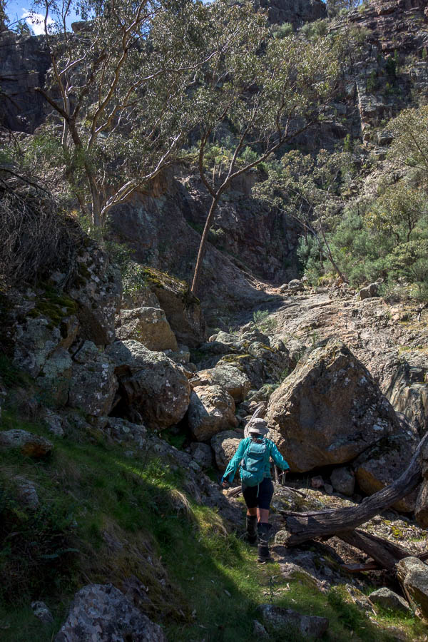
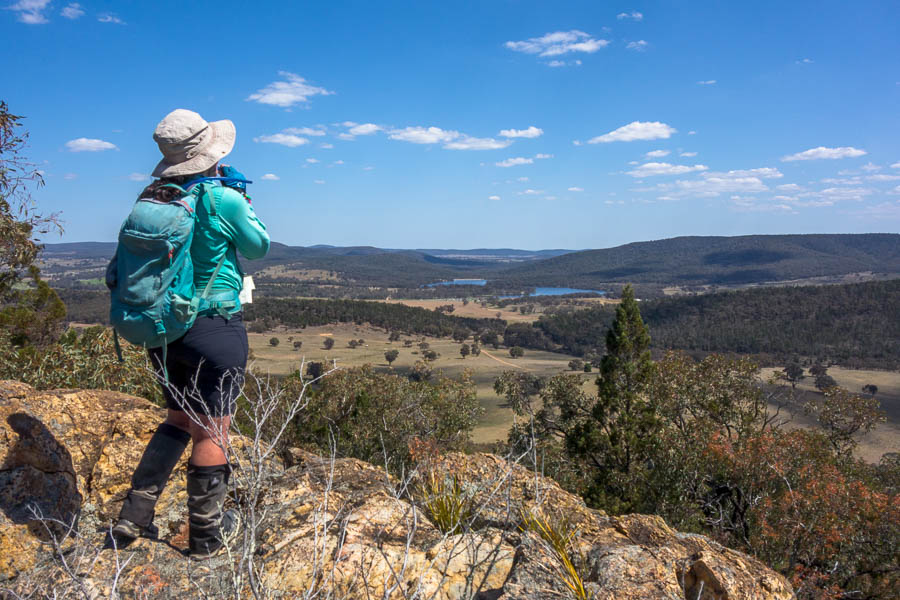
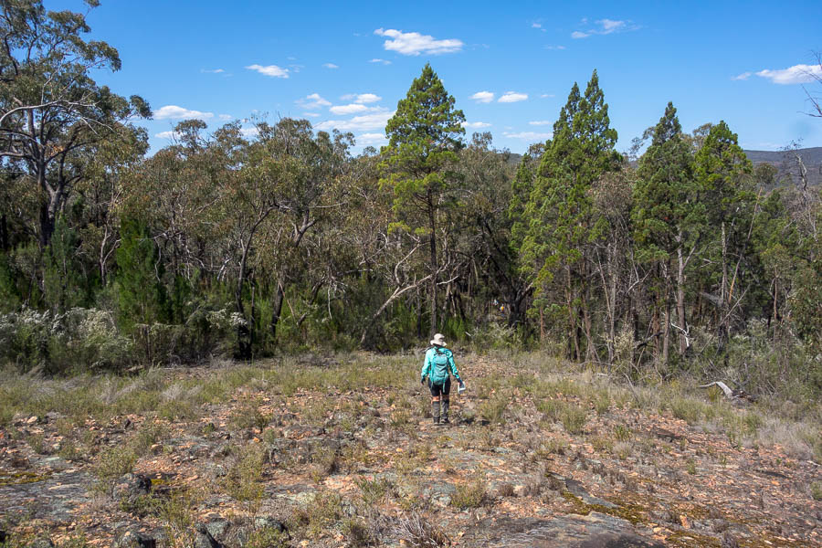
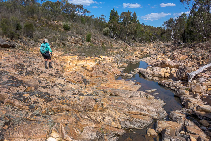
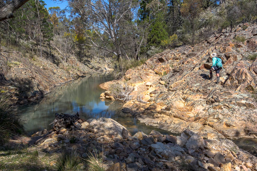
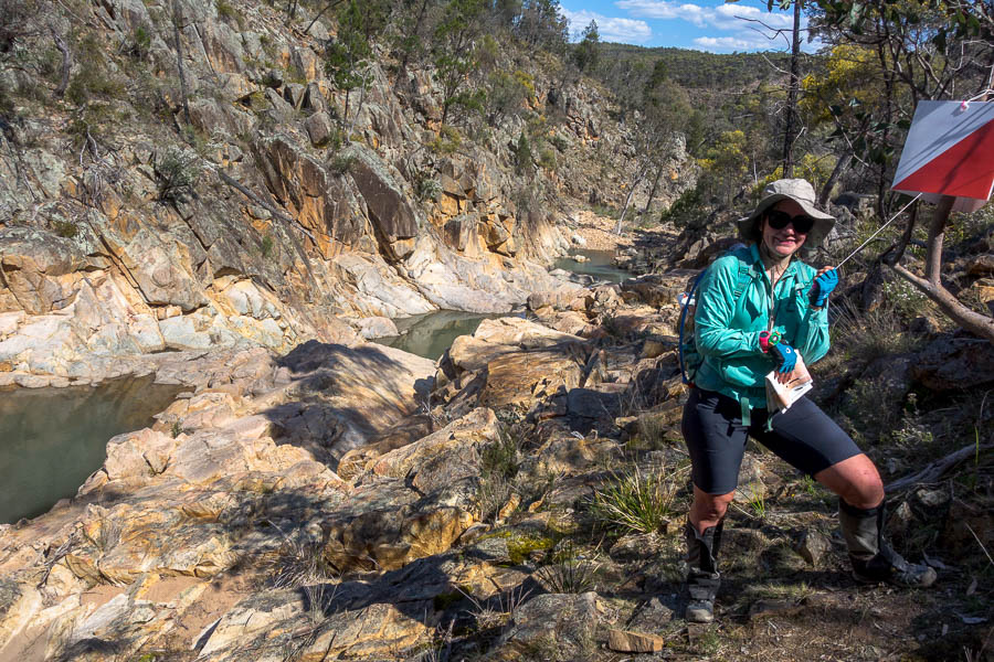
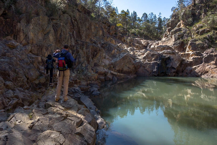
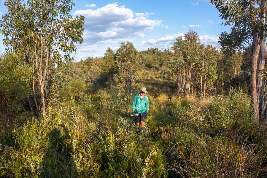
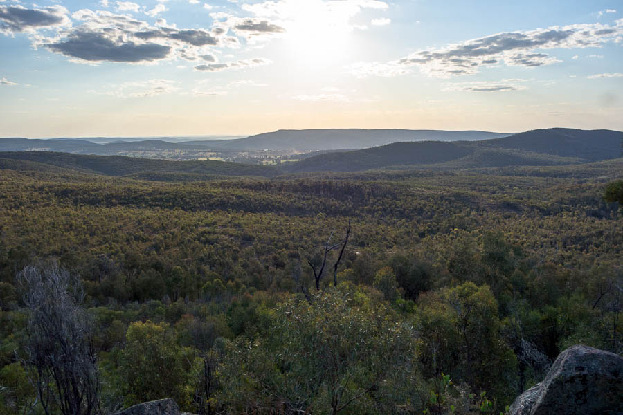
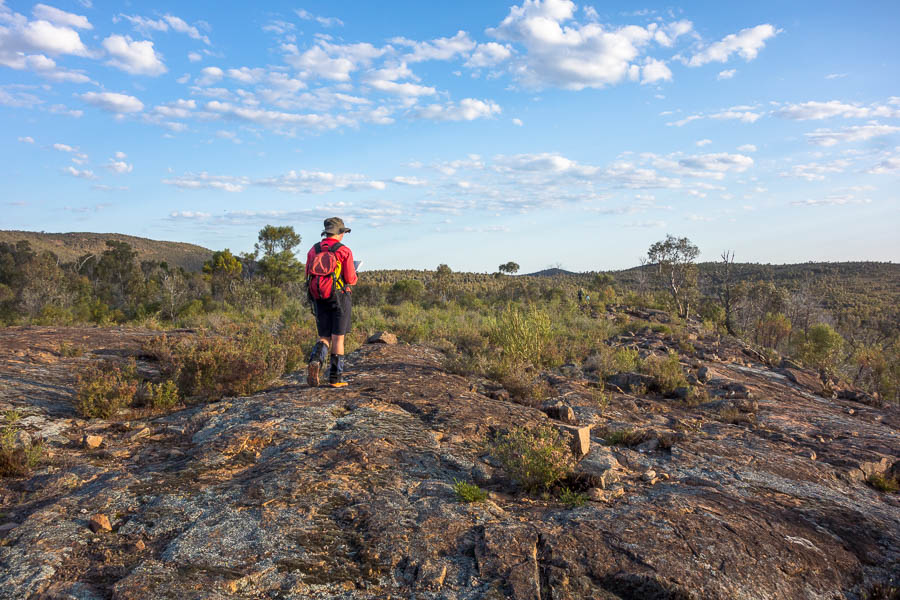
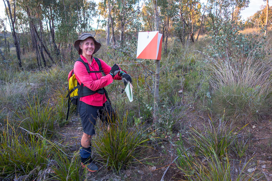
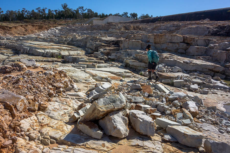
Our initial controls all went well. We were excited to get into the rocky gorge country, I was less excited with the climb up on to the ridge. The views were spectacular but I needed a rest. I had a cold. Between that and the heat, I wasn’t feeling the best on anything involving a climb. With some food and water into me I was feeling more human so we were off again.If we’d been excited to get into the gorge near 60 it was nothing compared to the excitement of the walking up Gulf Creek. The organisers had warned us all water courses were going to be dry – but in reality we saw quite a bit of water on the course. This was great for keeping hats and shirts wet. This was a spot I’d happily come bushwalking again – perhaps evidenced by the number of photos in this section!
We enjoyed scrambling down the creek from 91 – ignoring the course setter notes that seemed to imply you had to climb around. No climbing around for us, thank you!
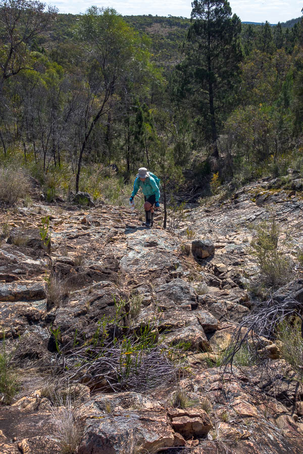
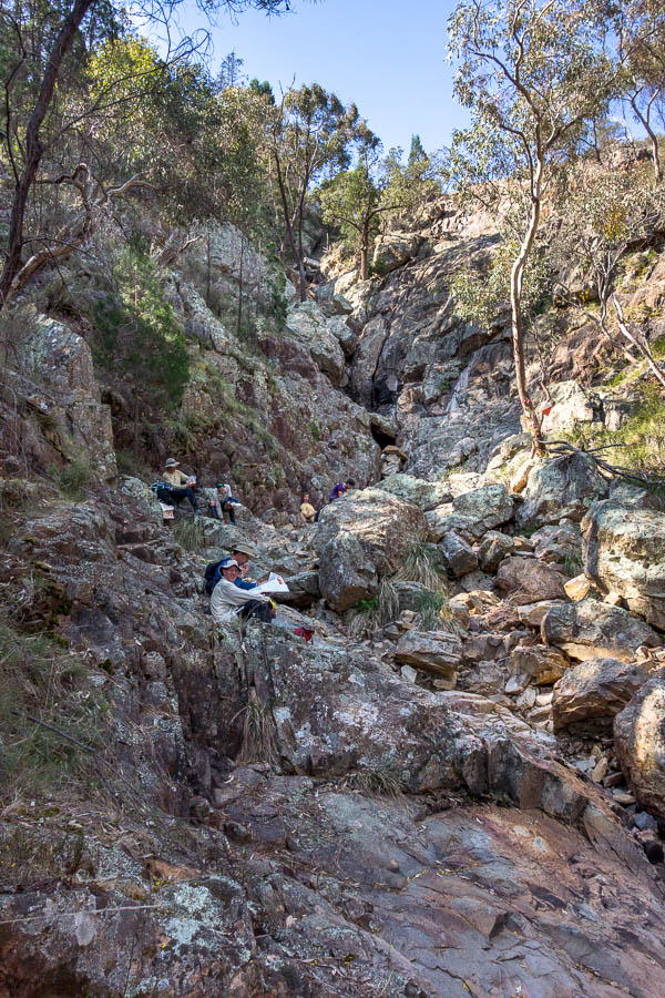
At the base of the next dryfall at #87 I was a bit surprised to see 3 teams resting. In retrospect, we should have added to their number, as it was shady and relatively cool. But it was only once we’d finished the big climb out (with spectacular views of a couple of low-flying wedge-tailed eagles) and were looking at the map at the top that we realised there were better options to what we’d just done. (For anyone playing along with the map we should have gone to #101 from #87).
We had a bit of trouble with #99, but found it eventually. Lauren was out of water by this point (and had been conserving for some time). We elected to continue with our plan rather than go directly to the water drop. This paid off fairly well as the walking to #101 was straight-forward, and #62 was visible from a fair way off so easy to locate.
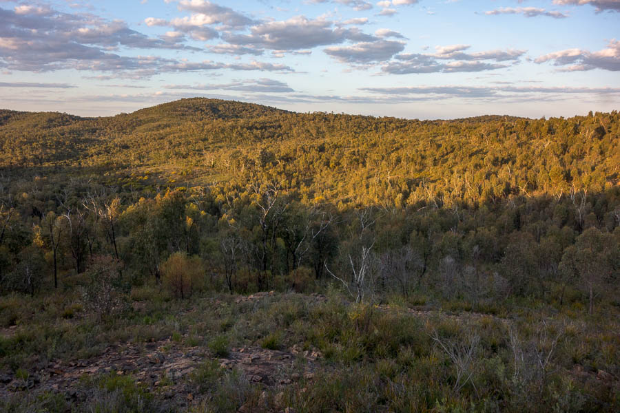
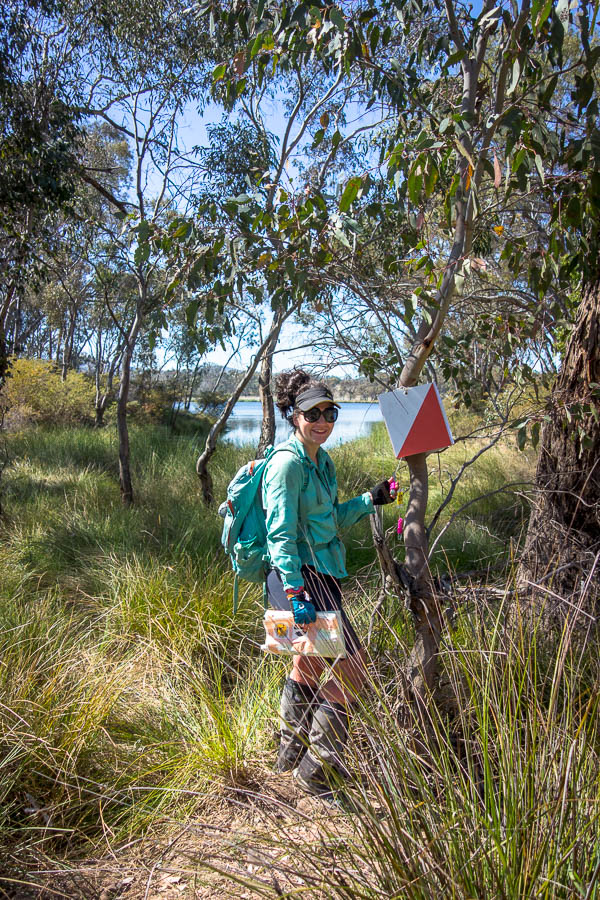
“The most visible from far away” control. You can’t see it at this resolution but blown up #62 is in the middle of the shot.
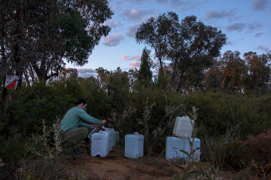
I was also out of water by the time we hit the water drop. I’d been thankful for the fruit I’d brought along – apple and mandarin both went down very well in the conditions. I heard later that (fortunately) the water refilling team had been at this control when 15 teams had arrived concurrently. Something like 120 litres had been doled out in short time.
We did a bit of a replan here, but that only involved dropping off a couple of controls, not working out how long it would likely take us to get back to the Hash House. Our stated intention had been to bed around midnight so we could get 5-6 hours sleep before heading out for a decent loop the next morning.
I think the A1 map contributed to our difficulty in realising how far we still had to go in our loop. It was cumbersome to have the whole thing visible at any one point, so when you just focussed on any given folded section you couldn’t see the big picture. And as there were no horizontal gridlines, coupled with the (angled) magnetic north lines, I had more difficulty doing estimates of distance than usual.
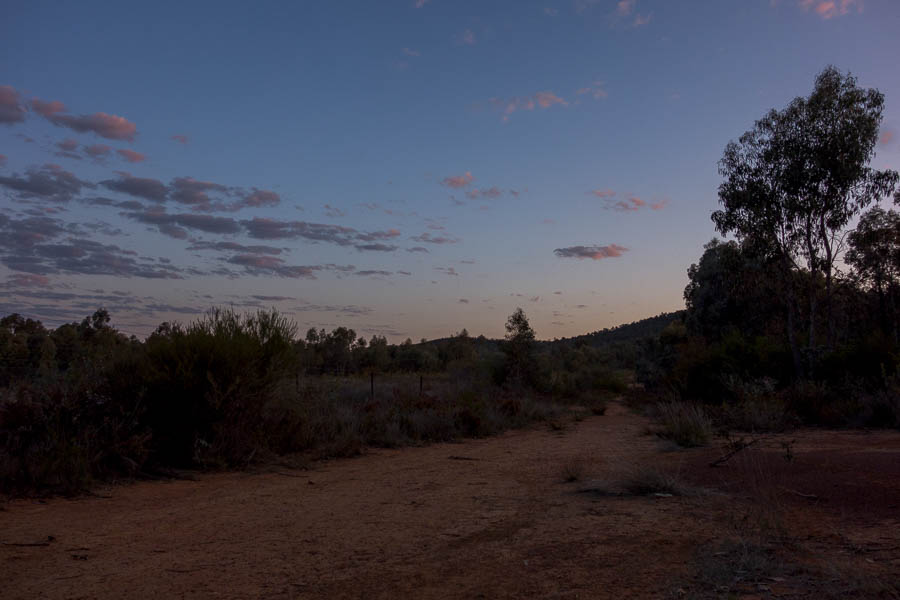
So off we went. Our first 3 night controls were out and backs from the road and went very well. These 3 were all quite subtle control placements so I think we did well in locating them as efficiently as we did.
I think it was around now that we started to realise how far we were from the Hash House and how the chances of being back by midnight were non-existent. However, we persisted, and the next 2 controls were also no issue.
Unfortunately our only real navigational blunder of the course came after this. We were meant to follow a creek north to a saddle and then drop over the other side and hit an indistinct trail. However we couldn’t locate the trail and the landscape didn’t match the map. Eventually we decided just to head west as we didn’t know what was going on (our team name “Strategically Bearing West” seemed somewhat apt at that point). Of course, shortly after that decision, we hit the trail. Looking at the trace afterwards we came up a side creek instead of the main creek (obviously not watching the compass), and hence were in completely the wrong place to find the trail.
From there we had no problems with the next 2 controls. A very long descent west brought us close to #102. By this stage Lauren declared she didn’t care – she just wanted to get to her tent (which was still a good 8km away). I convinced her we had to be pretty close, and 5 minutes later we had another hundred points – at exactly midnight (13 hours in).
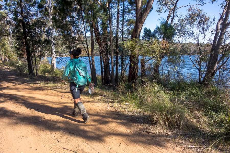
It was evidence of our exhaustion that we didn’t get any points from there back to the Hash House. It wasn’t until 3:45am I was in my tent. 3h 45m seems a long time to do 8.5km – given we were predominantly on track. But that did include half an hour “sleeping” on the side of the track at from 1:45-2:15am. The next day looking at the map we walked past 44, 84, 54 that would have have been relatively straight-forward to get. But we weren’t thinking about points at that point, we just wanted sleep.
Given we were so late back we agreed on being ready to go again at 8am. I was awake before 7am, hearing other teams head out. I was a little jealous as the early morning light (and temperatures) are a wonderful time to be walking. I was thrilled to find a bacon and egg roll and a coffee; heard some war stories from other teams; before checking in on Lauren. Her feet were in similar shape to mine so it was a fairly gingerly-treading team which set out at 8am. With only 3 hours we didn’t have a lot of time, particularly given the state of our feet.
We had hoped to pick up some of the higher point controls in the south west but it became clear after taking 45 minutes on easy tracks to #41 that we weren’t moving quick enough.
We settled for being 45 minutes early as we both just happy to get our of our shoes.
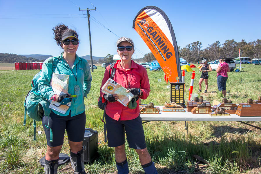
With this being the Australian Championships, and also an reasonable effort to get to, the people who were at the event really wanted to be there. It wasn’t like a lot of rogaines were there are people just ‘giving it a go’. It was a highly competitive field, and made us realise just how much we could improve when we came in 39th out of 80-odd teams. Our score total (1560) was under half of what the overall winners got (3580)! Other than the one navigational blunder which I mentioned above our nav was pretty good – it was the planning that let us down.
Final course statistics
11am – 3:45am – 44.53km
8am – 11:15am – 8.09km
Overall ascent/descent 2,466m
*all times mentioned in this report are AEST

