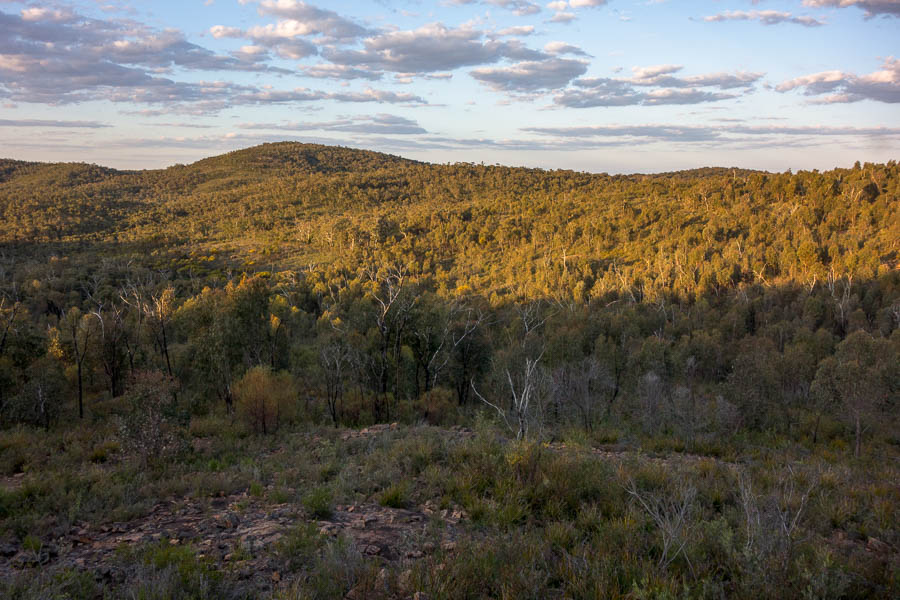
The start of a month-long SE Asia trip had us in Central Vietnam. As I now know the Province of Quảng Bình lays claim to the largest cave in the world, along with many other caves. I didn’t realise quite how famous the area was for caving when we booked the trip – I was just looking for things to do that aligned with our interests. We didn’t visit the largest cave – there’s a several year waiting list and it costs a lot – but the Hang Tien caves we visited were pretty big! When most people think of caving they think of squeezing through narrow passageways – there was none of that on this trip – it was more akin to underground canyoning.
To get to the start of the tour we flew to Saigon, then took a domestic flight to Đồng Hới. It was a bit of shock to arrive, after a steamy November/early-December in Sydney, we were rugged up for sub-20°C temperatures and rain. We were collected at Đồng Hới and had a night at the Phong Nha Lake House Resort. Despite a SMH article claiming Vietnam was the #1 place to avoid Christmas the Lake House had multiple Christmas trees and a single Christmas Album running on repeat for all hours. We managed to blow a bit of the jet lag away with a paddle around the lake the resort fronts on to.
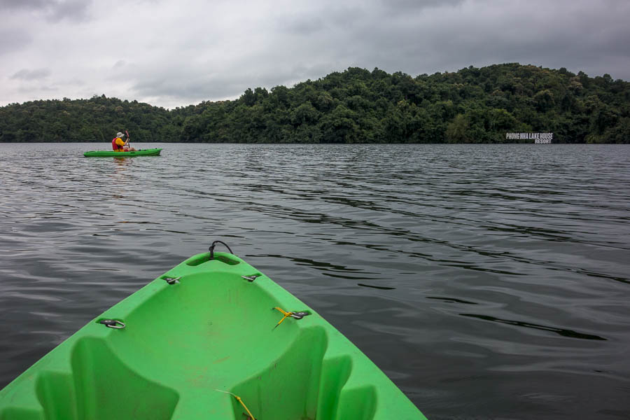
Kayaking at Phong Nha Lake House Resort
Early the next morning, in the rain, we were the first in a lengthy collection process by bus of the 11 members of our caving tour and our head guide. Once everyone had been collected we had a long, windy bus trip through the hills to the Oxalis base at Tu Lan Lodge. During this time everyone introduced themselves and I of course was judging everyone based on what they said, and their appearance.
We’d had to go through an extensive vetting process to be accepted on this trip, supplying a full resume of activities for the last 12 months, providing photos, height and weight, as well as individual phone interviews. It was a diverse group; 3 Maltese, an Irish/English couple (en route to moving to Melbourne), 4 Vietnamese (though 2 based in Melbourne and 1 in Austria) plus me & Tom. Our head guide, Anetta, was the only Oxalis female guide, with 10 years experience and a slightly sardonic sense of humour. Assisting her was Quyen, along with 3 safety assistants, porters and a cook. I think we had almost a 1:1 staff to client ratio!
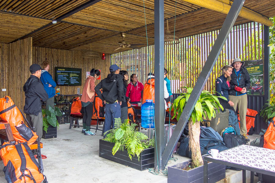
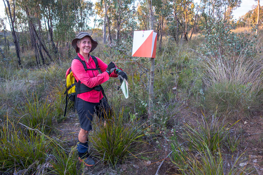
Pre-trip briefing/packing
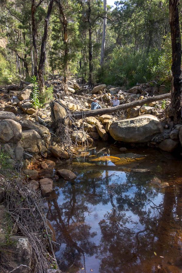
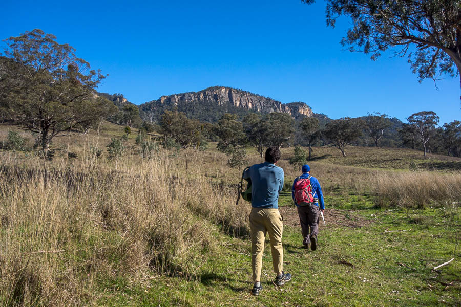
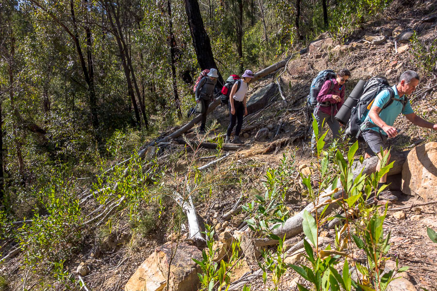
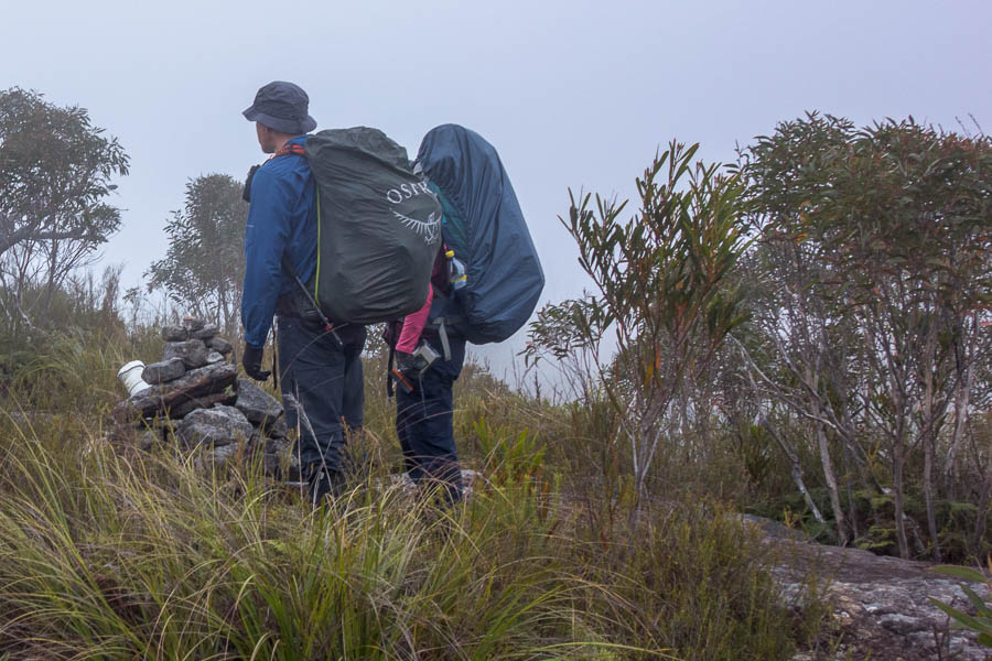
We only had to carry our gear for the day, the rest was transported by porters who we never really saw. The rain hadn’t abated and I think we were all a bit morose with the conditions when we eventually started walking just after 11am (after a 7:30am pickup).
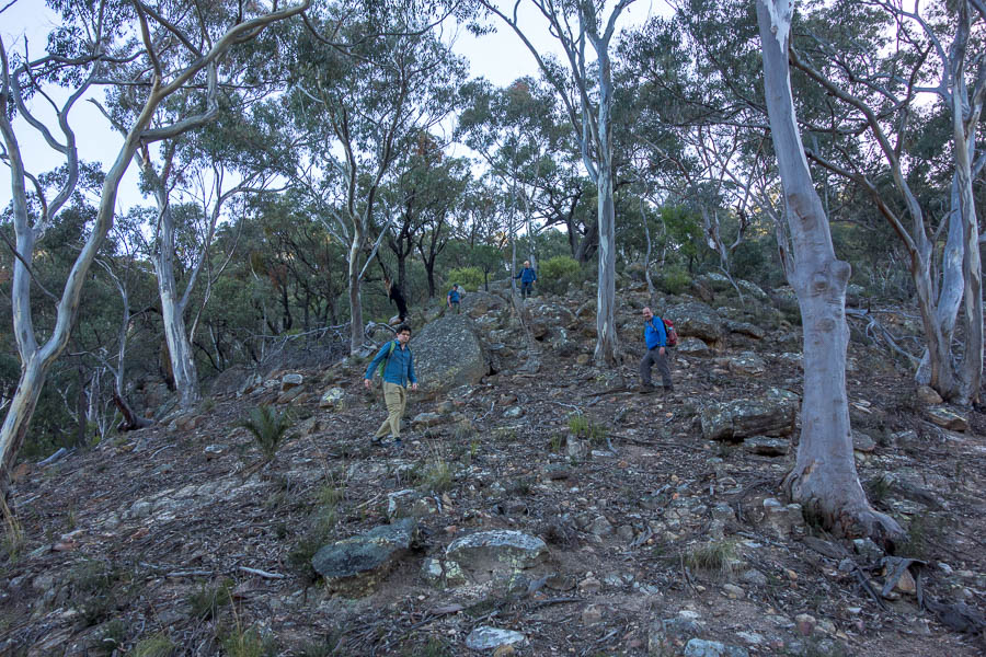
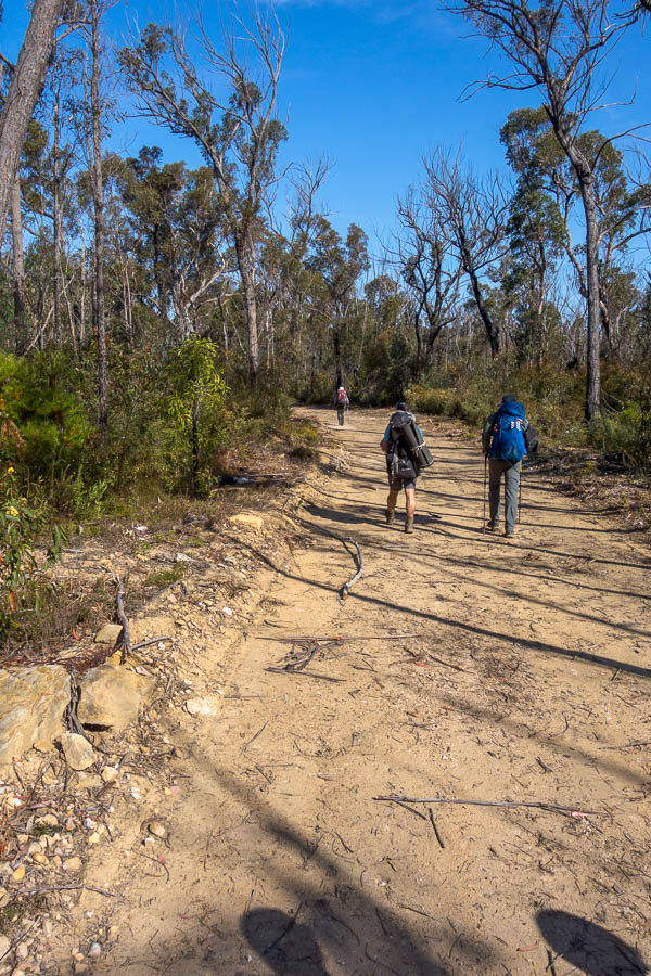
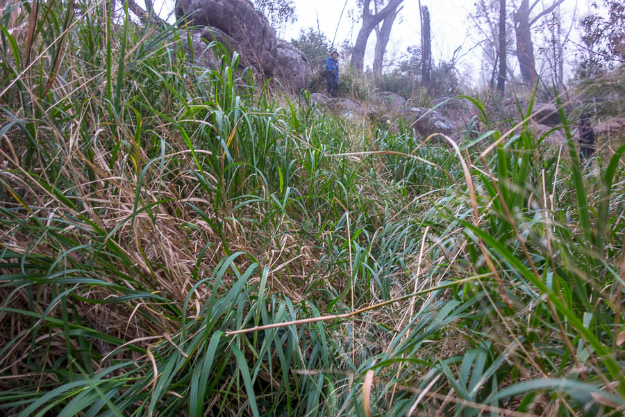
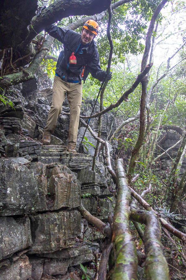
The initial paved road, led onto a muddy fire trail, where the guides laughed as we all sought to keep our feet from becoming too muddy. The Oxalis staff were all wearing plastic sandals and socks – so they weren’t too worried about shoes getting muddy. The plastic sandals are cheap and help prevent footroot apparently.
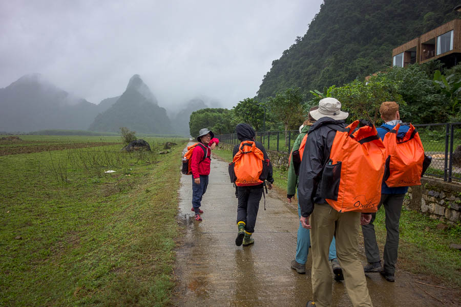
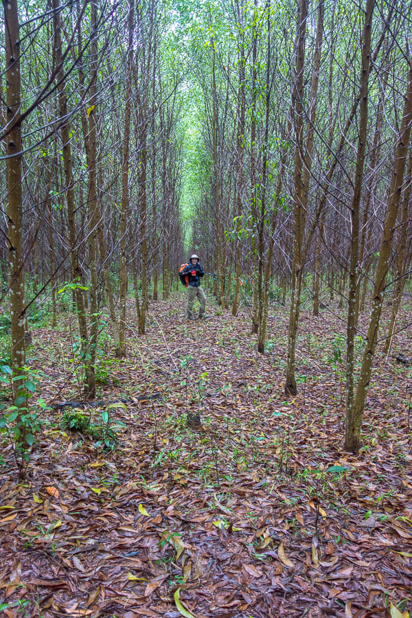
Easy walking to start (note lodges up to the right where we will stay on our final night)
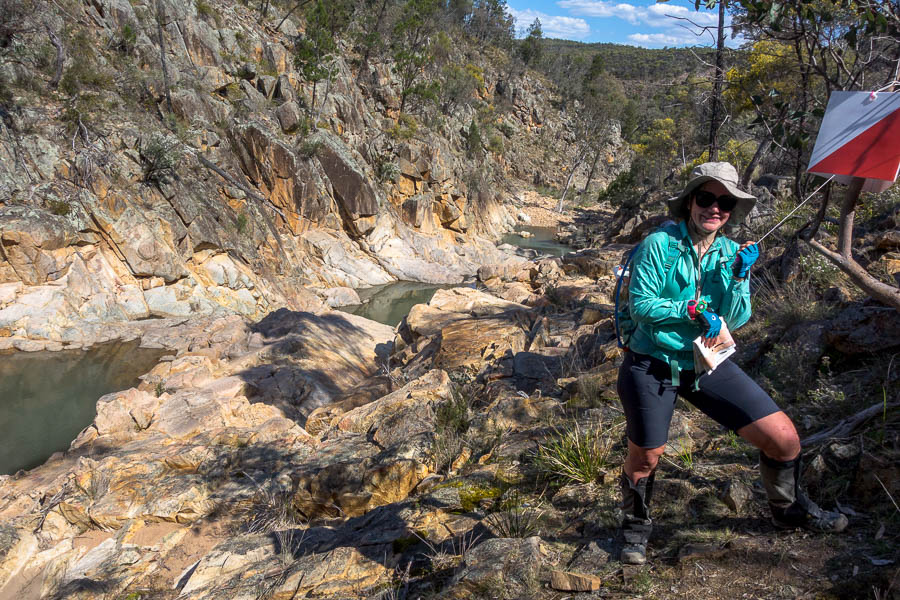
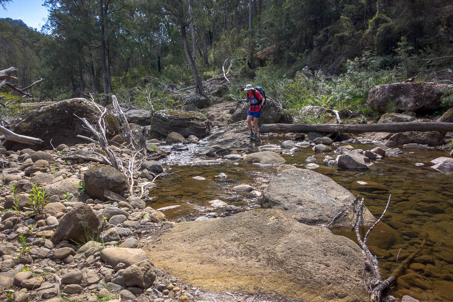
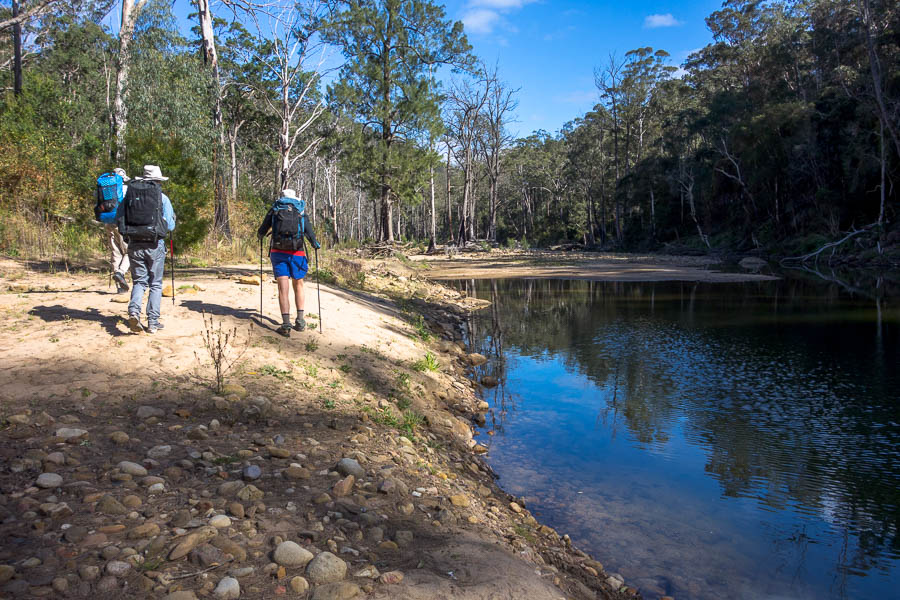
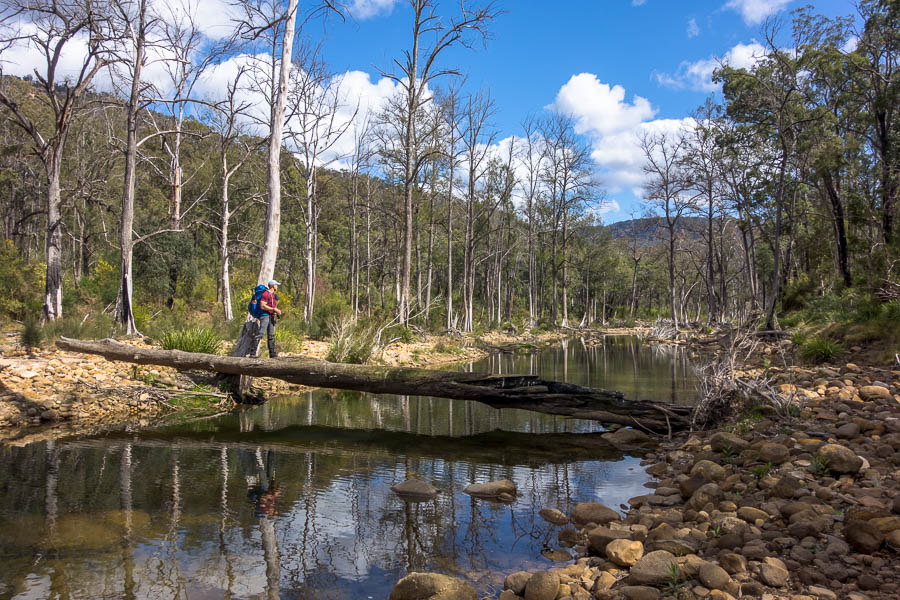
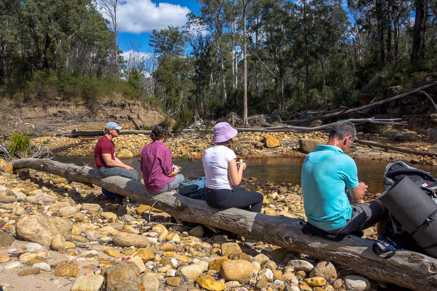
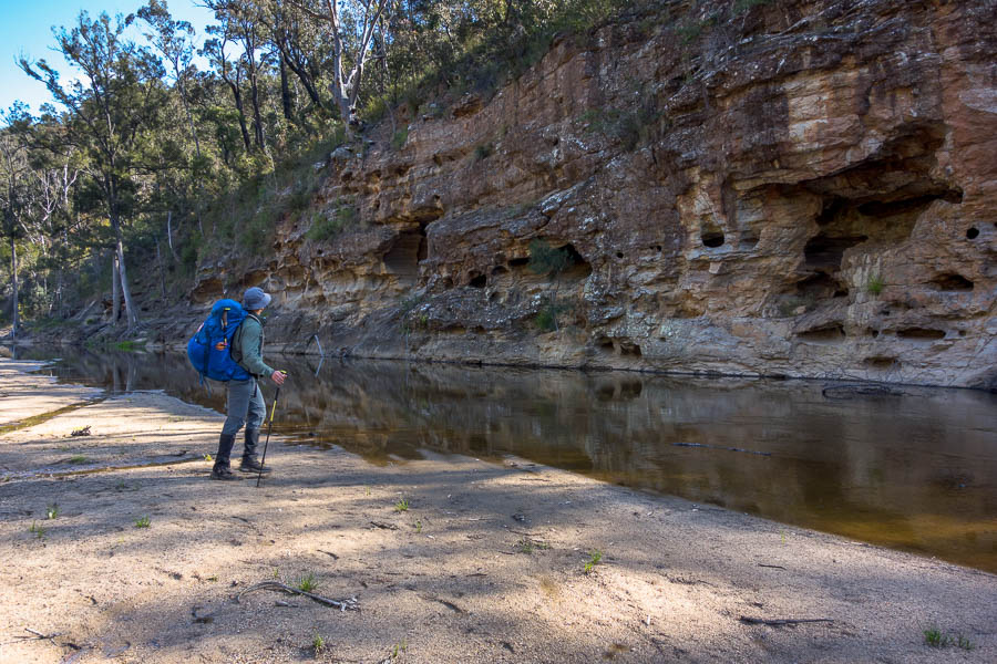
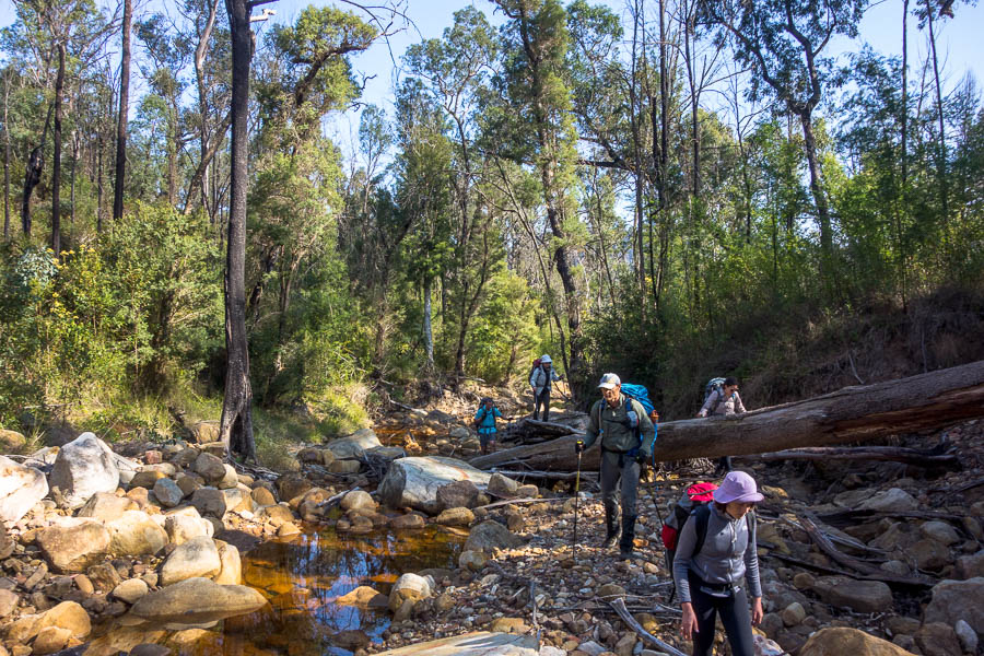
It wasn’t long before we reached our first river crossing. We were shuttled across in a boat that had a fixed rope to assist with guiding across the river. Not long after that we wound our way up through muddy tracks to have lunch in a wonderful dry cave. As we well know, outdoor activities in wet conditions are made far more bearable if you can get out of the rain for breaks!
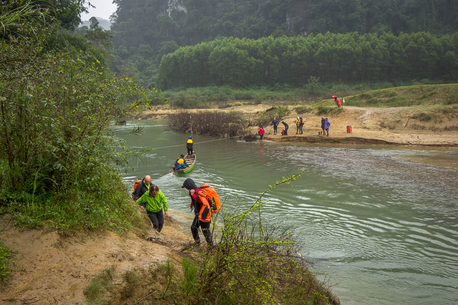
First river crossing – this one in a boat

Dry lunch spot
We entered the pretty, but short, Secret Cave after lunch. This was our first experience with queuing for photos – the best spots were well-known to the guides and bright lights were set up provide back-light while we all waited for our chance to pose in the same spot. Secret Cave, in retrospect, was probably the prettiest of the caves but I didn’t take many photos.
Tom in Secret Cave
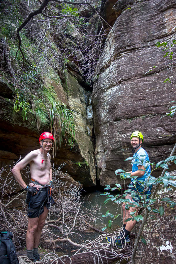
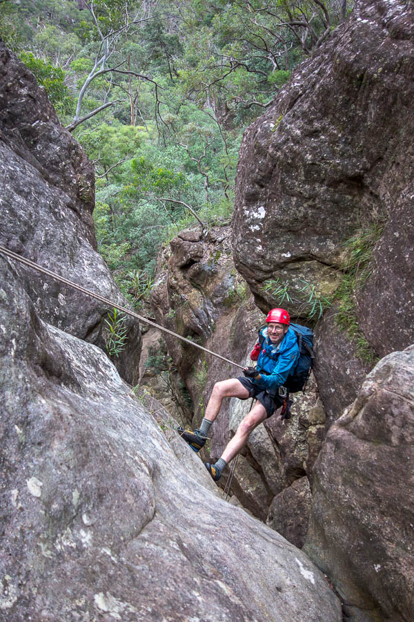
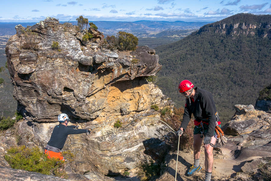
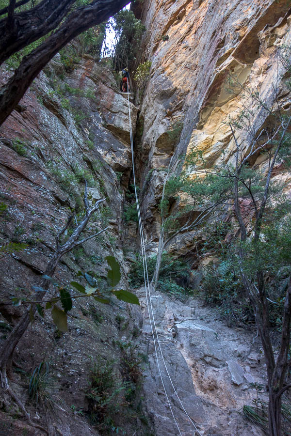
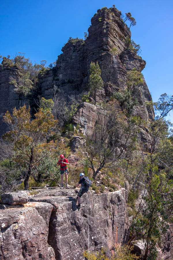
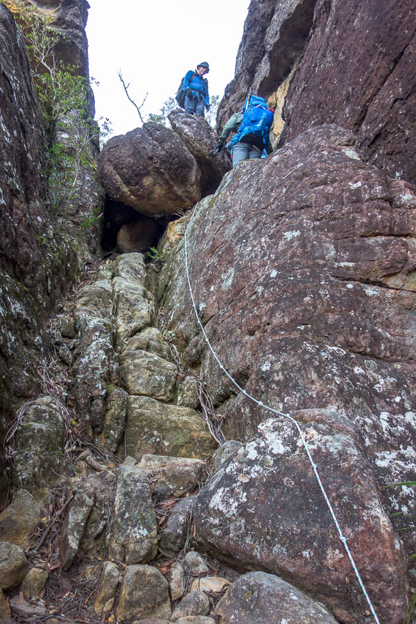
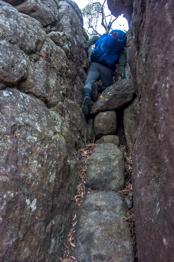
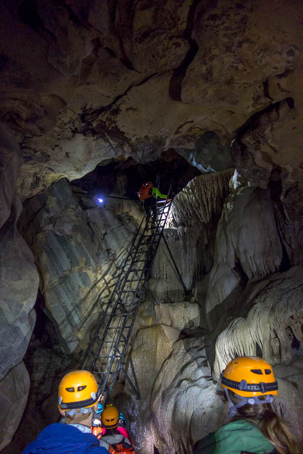
Then it was back into the rain and mud to get to the entrance of Hung Ton Cave. This was our first technical section. We had to harness up before descending a 15m ladder. I ended up at the back of the group and by the time we were all down everyone had been shepherded along to the river. In warmer times (and maybe lower water) the group would swim the river, but given it was low-teens and flowing very swiftly we were taken across in a boat.
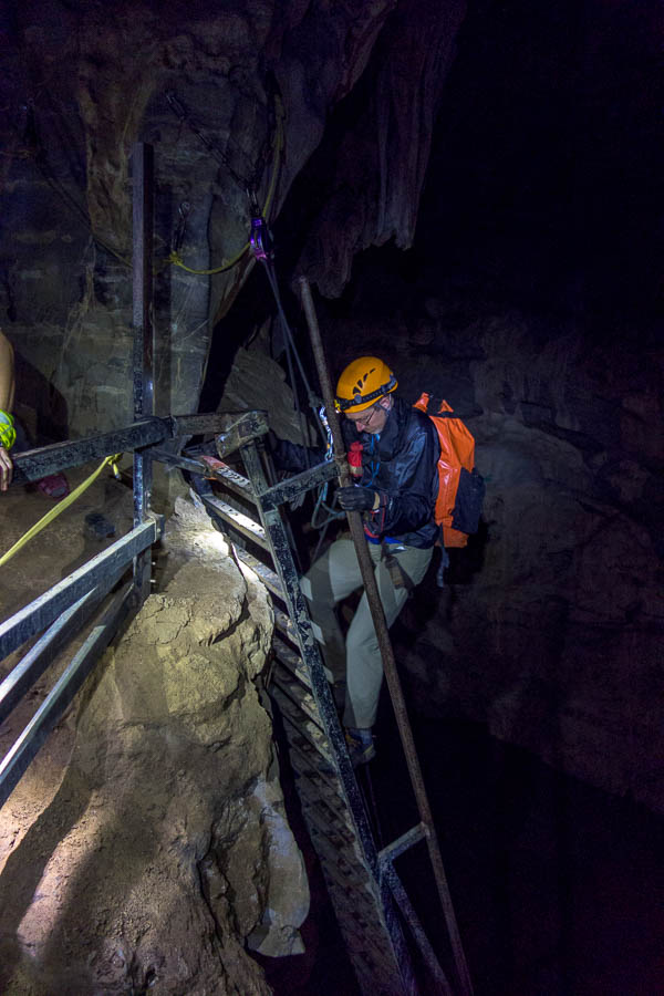
Descending into Hung Ton Cave
In warmer weather this river gets swum, but we got the boat
Anetta had been warning we were likely to get to camp late, and it seemed we were now on a deadline, so there wasn’t any time to linger in the cave or at the swimming area at the mouth of it.
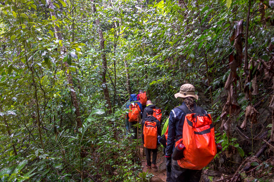
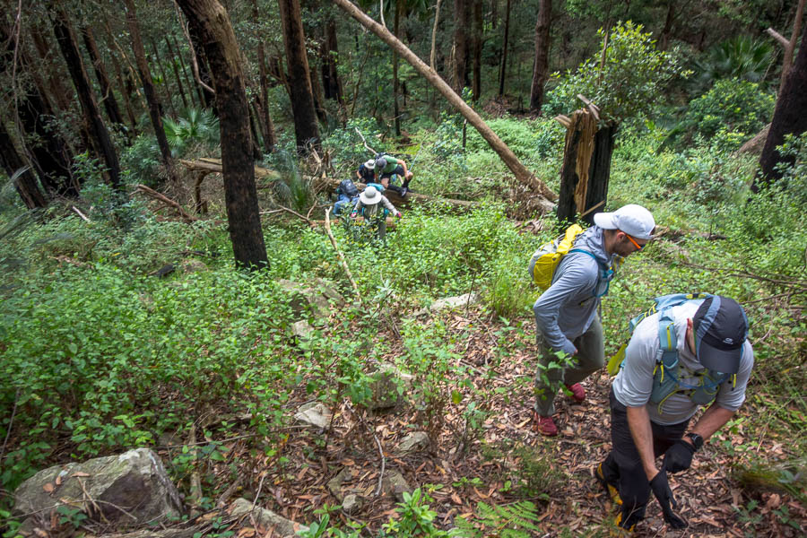
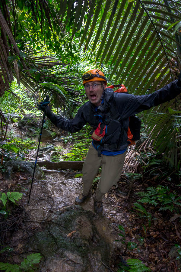
Jungle trekking in the rain
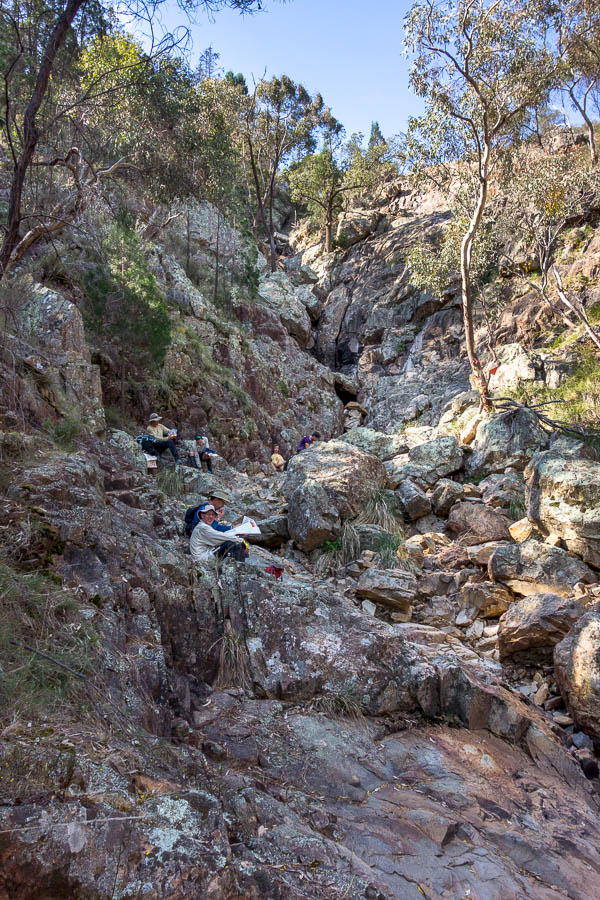
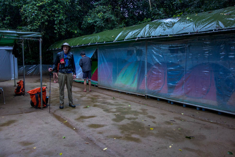
I think many of us were probably dreading camp, the rain had continued all day, the tracks were muddy, and it really felt like the weather had settled in. It was such a good surprise to arrive to a very well set-up camp. The tents were all under cover, communal dining area under cover, the ground compacted so it was just wet rather than muddy. Amazing.
Well set-up camp!
We had an excellent time and were exceedingly well-fed that night. The camp mattresses were pretty hard and I had to sleep with the minuscule pillow under my hips. It wasn’t to be the last time on the trip I wished for my thermarest.
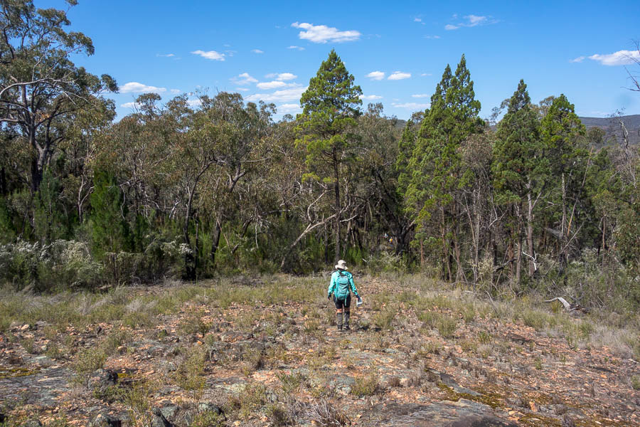
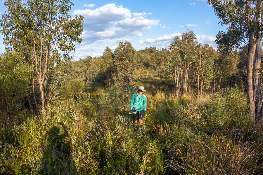
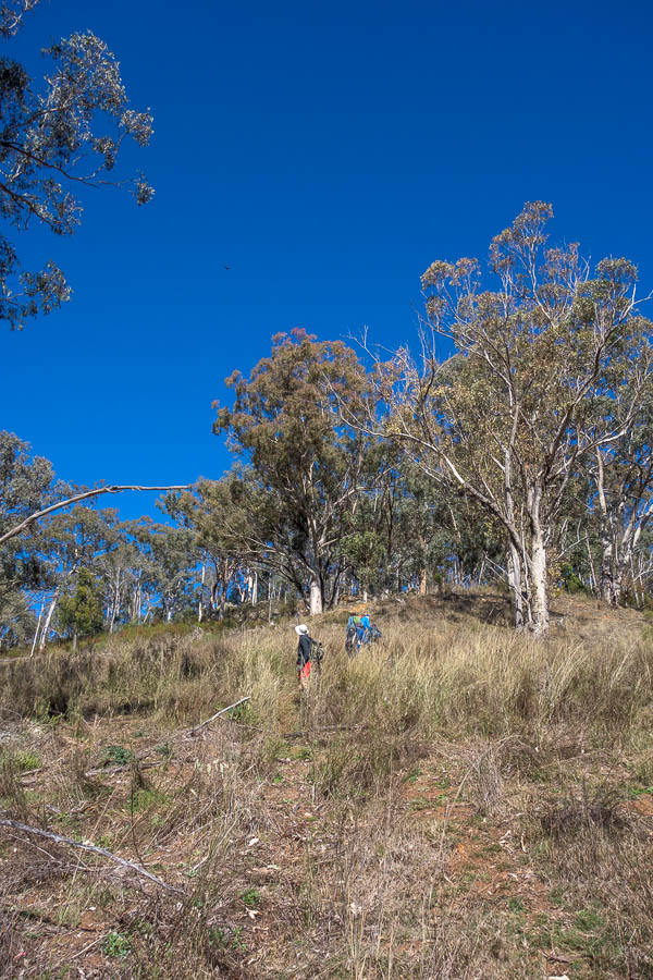
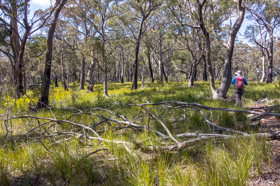
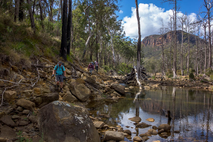
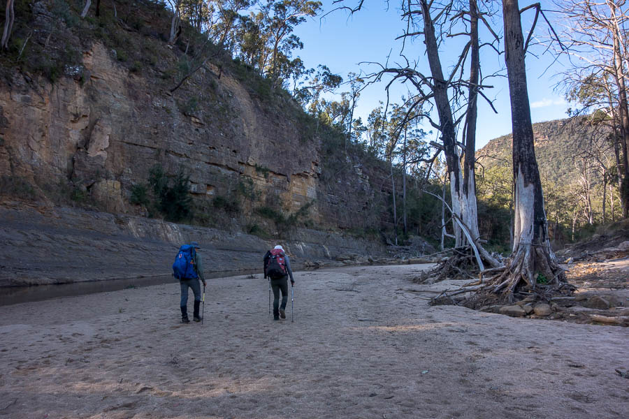
It had sounded like it had poured overnight, I was having visions of having to walk out the way we came because the rivers were too high. Turned out the roof over the tents made the rain sound much worse than it had been, so we continued on our way. The morning started on much flatter ground which was less muddy and we made much better time than the previous afternoon.
Not very jungle-like!
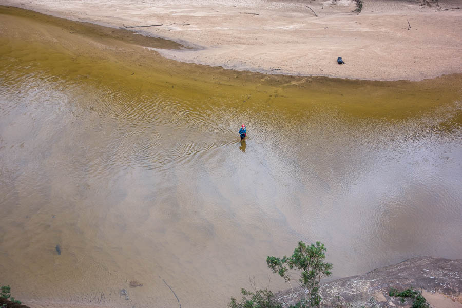
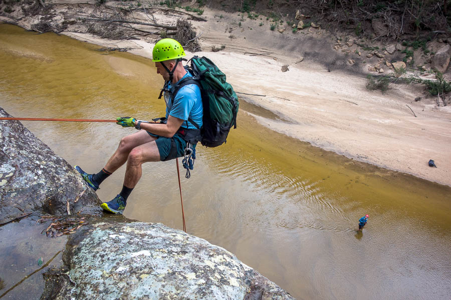
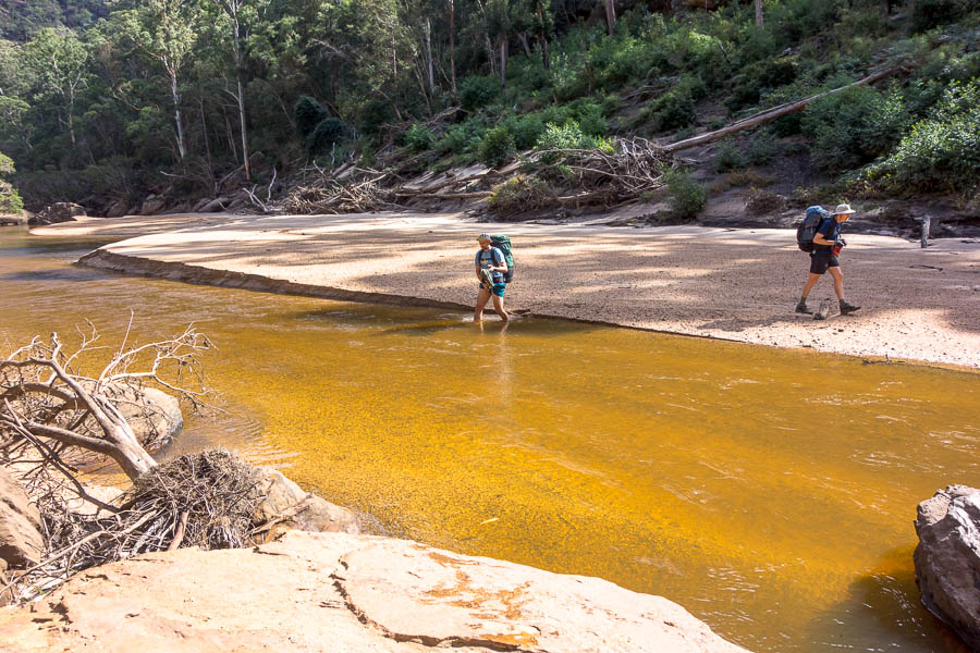
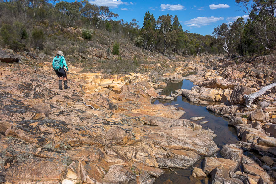
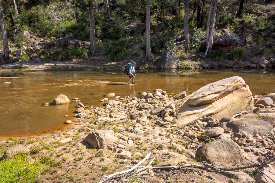
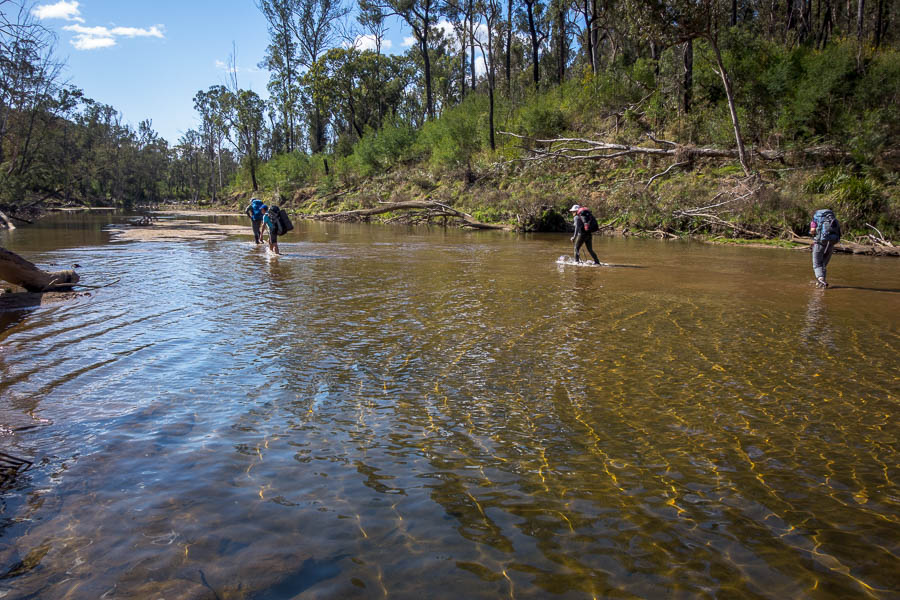
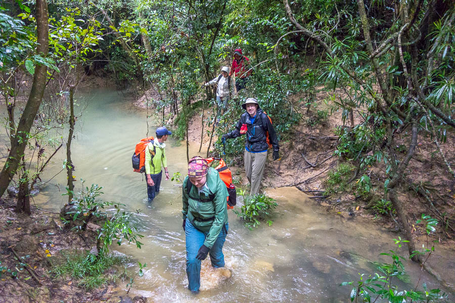
Even though it didn’t pour, there was still enough rain to bring the water levels up. We had lunch on the bank of this river and then needed to cross it. It looked pretty dodgy to me and I started a trend by stripping off my clothes and putting them in my drum rather than getting completely saturated. The crossing wasn’t too bad in the end only being waist deep.

Another river crossing – looked sketchy but ended up being about waist-deep
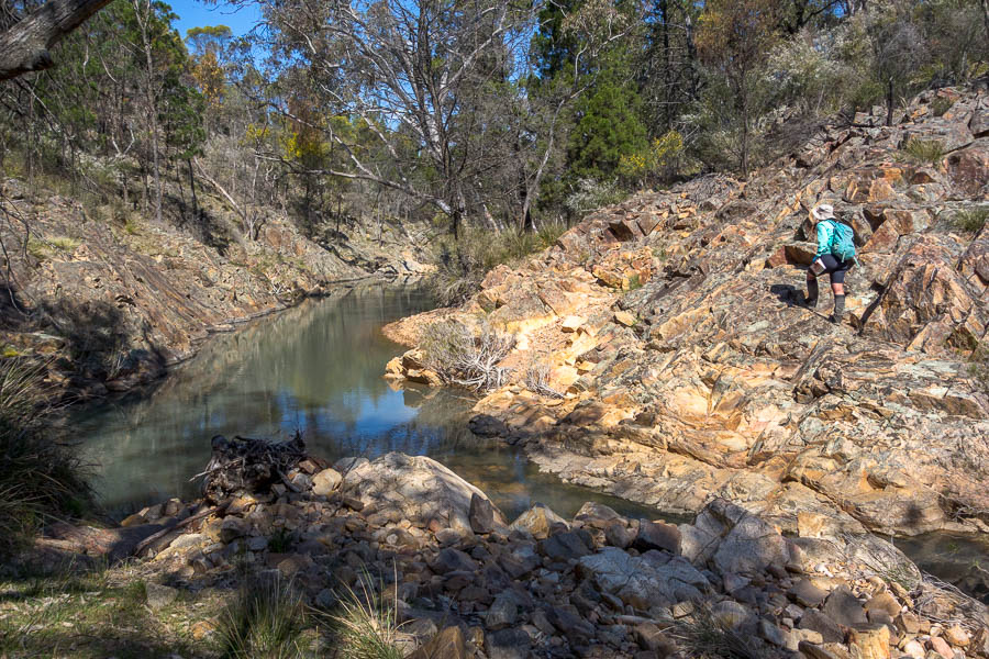
Later in the day crossing many small streams
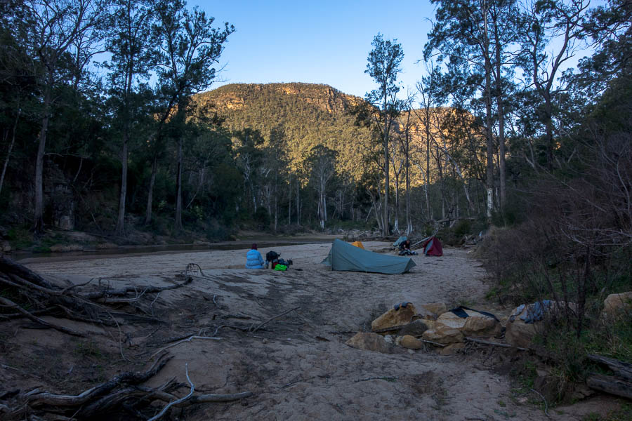
We made it into camp mid-afternoon. The rain had eased to very light drizzle and it had warmed up enough that we were keen to swim. We had been promised a beautiful natural infinity pool – but with the water levels up it had a bit of a dangerous undertow near the outflow. Anetta would only let us swim with life jackets on, while she stood guard with a life ring near the outflow. It was still good to get the mud & sweat off.

Camp night 2 – it’s almost stopped raining
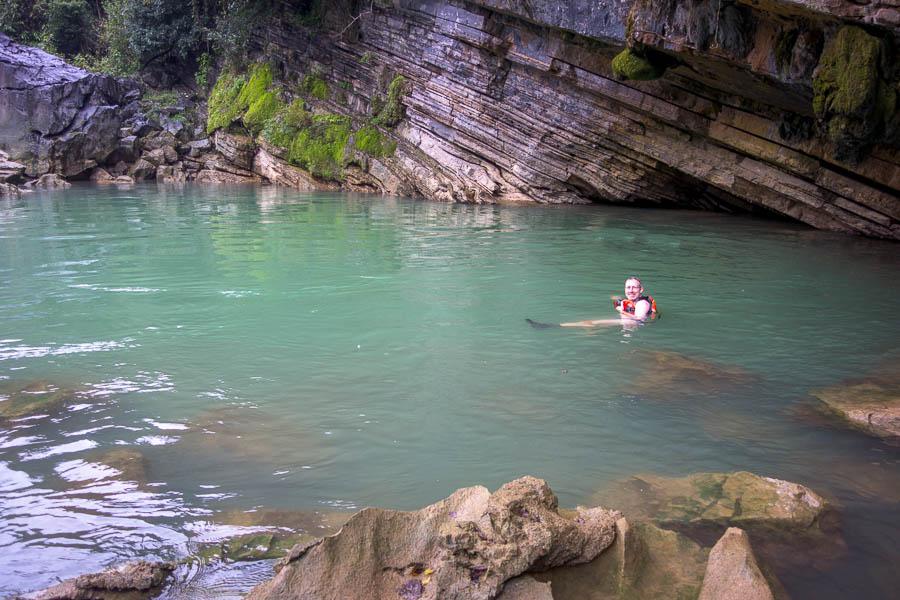
Swimming hole – flow was high out of the pool on the left so we had to wear life jackets and keep right
Our diverse group included some members who were keen for photos for the ‘Gram (which of course they did full make-up for). Quyen was a keen photographer and assisted with photo shoots and directing the best shots. Tom & I found this quite amusing and couldn’t resist some parody shots.

Tom the model. Water came up a fair bit overnight – the next morning the seat of the chair would have been underwater.
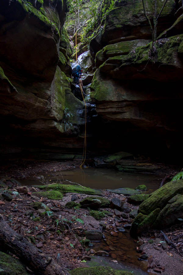
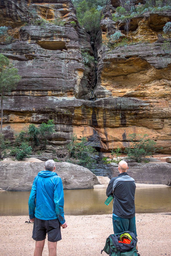
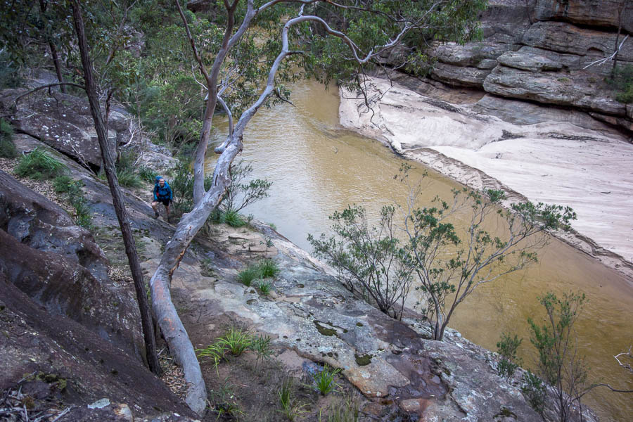
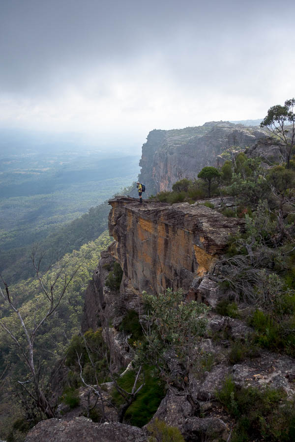
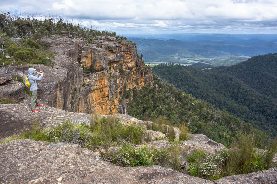
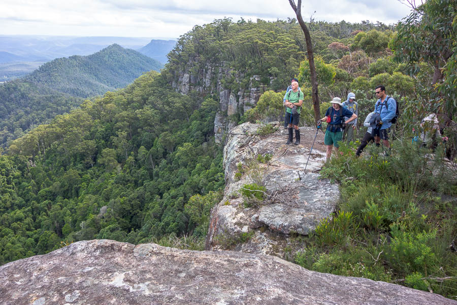
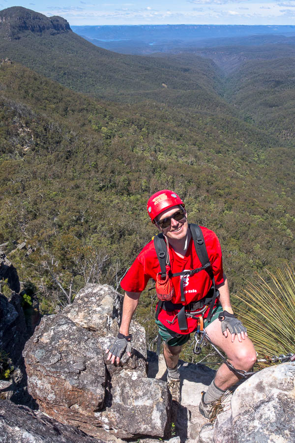
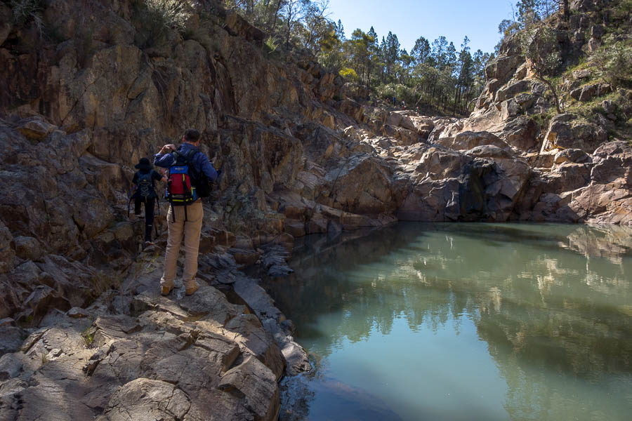
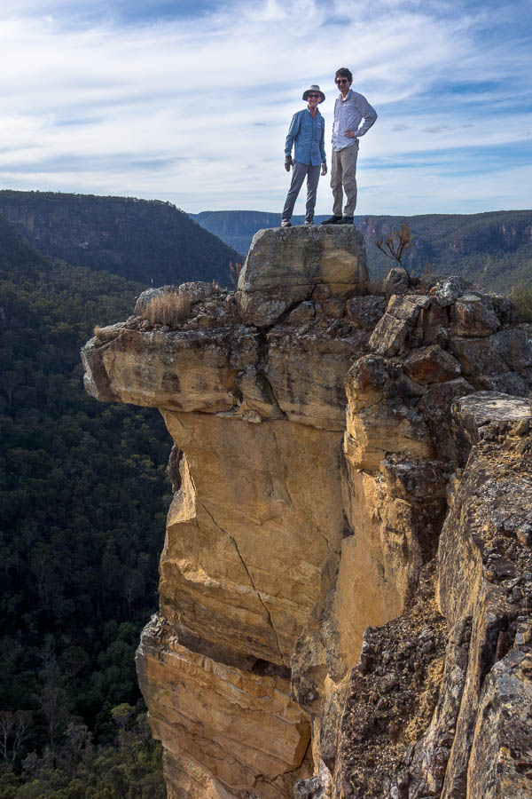
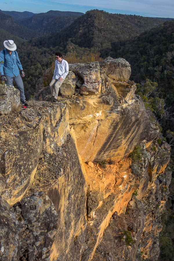
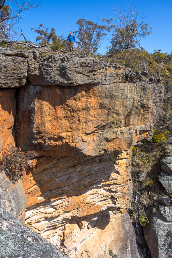
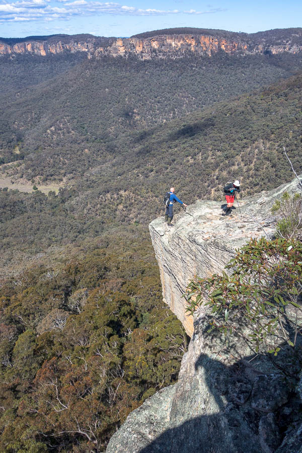
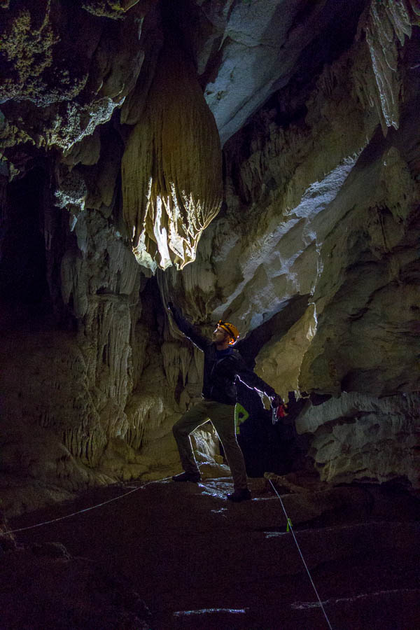
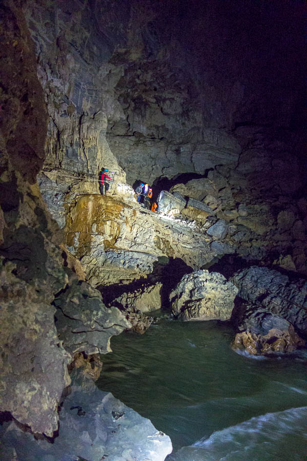
The highlight of the trip came on day 3 when we explored Hang Tien 1. An enormous opening was awe-inspiring, but even better was going through it.
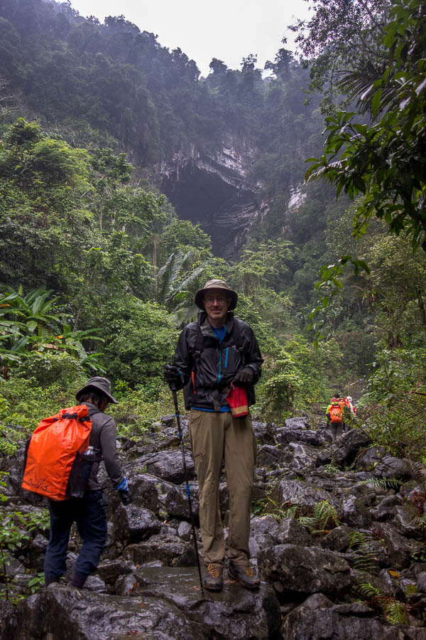
Approaching Hang Tien 1
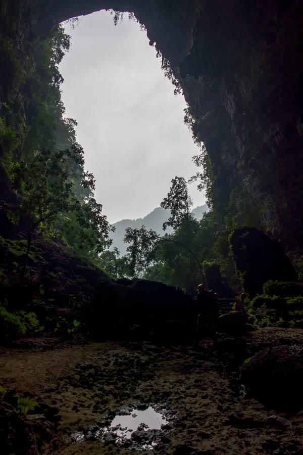
Looking back out of Hang Tien 1. Approx 100m vertical entrance.
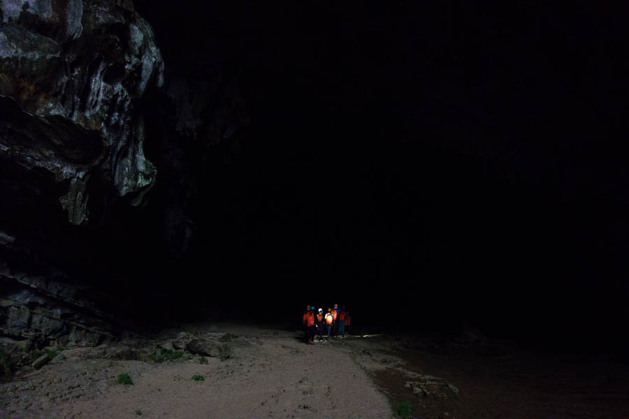
Entering Hang Tien 1
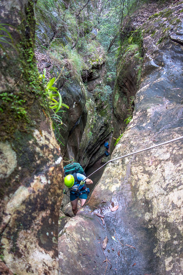
Anetta knew Tom & I were keen to take photos, and I assume she’d decided we were competent enough to negotiate our way through the rocky banks of the underground river. We took up the rear and I proudly kept my feet dry the whole way through.
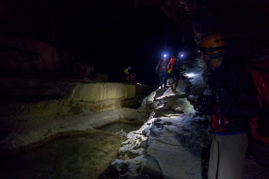
Underground canyoning 🙂
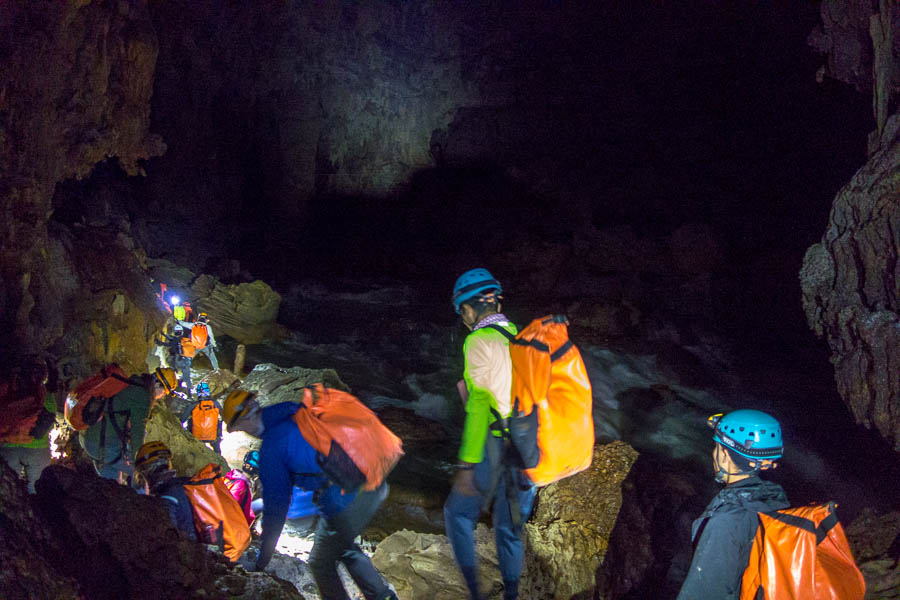
Team along side a raging underground river
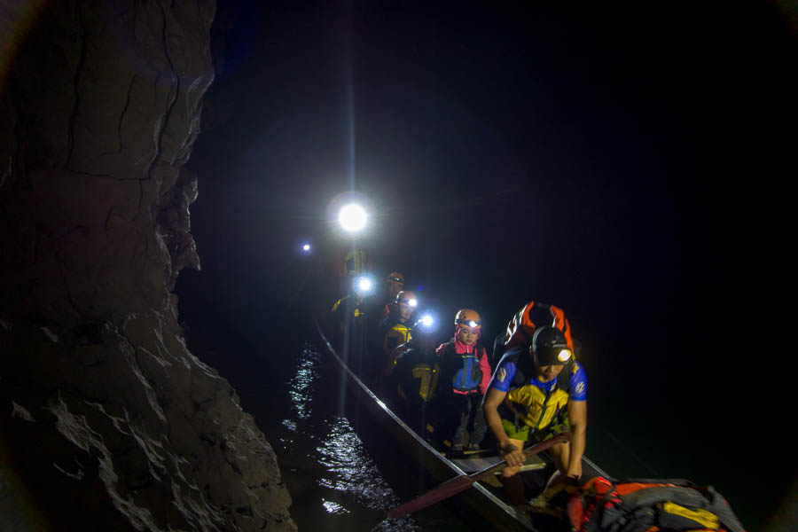
In lower flows I think groups just walk across the river but it was raging when we came through so we got hauled across on a Tyrolean Traverse.
Using a Tyrolean Traverse to get across the river

Tom on the Tyrolean Traverse
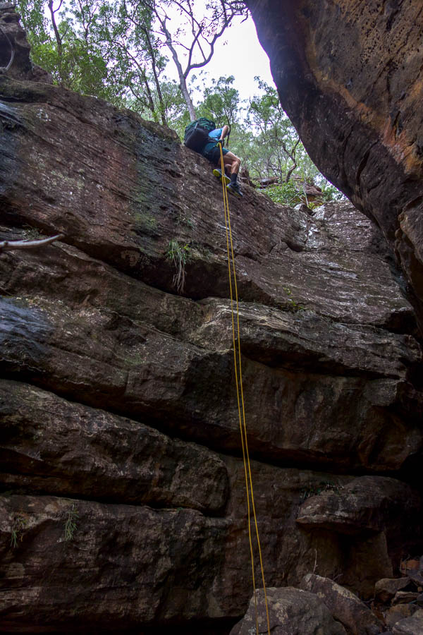
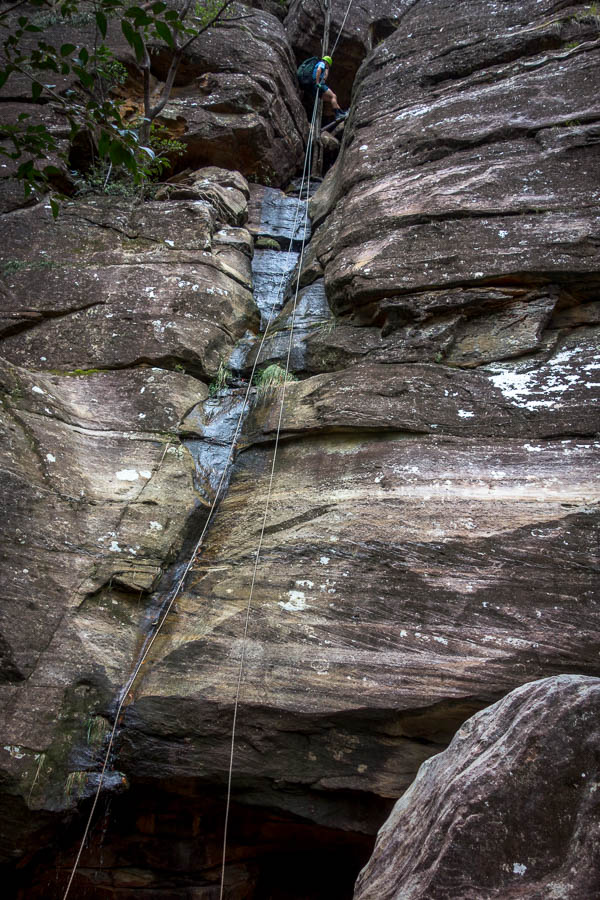
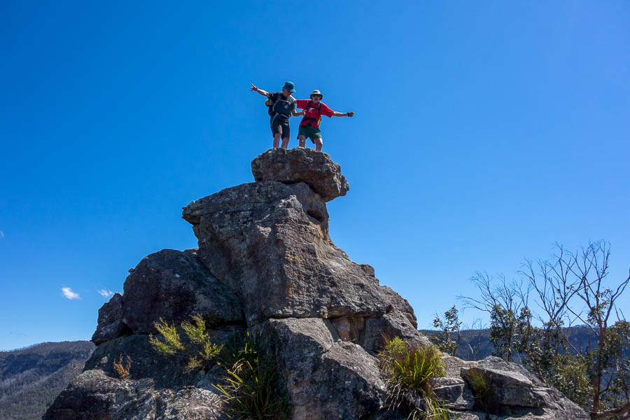
Climbing out of Hang Tien 1
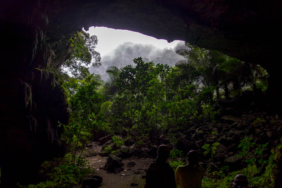
The top entrance
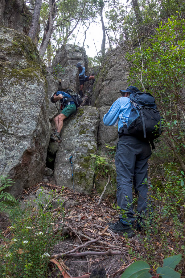
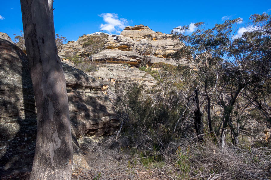
Hang Tien 2 was a very different cave. Unfortunately Tom didn’t get the best advice about whether to take his camera gear in (we left our bags as it was an out-and-back exploration). As it turned out there was one easy scramble and then it was flat walking, with lots of opportunities for tripod shots. The size of the cave and the formations were impressive. The shot below without a person in it doesn’t give a true sense of scale – I guess the height of the cave at that point is approx 20-25m?

Impressive formations in Hang Tien 2

Lunch in the cave
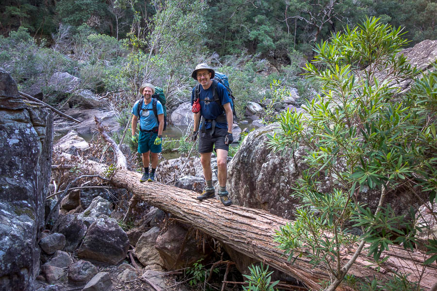
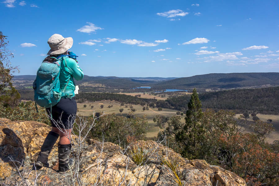
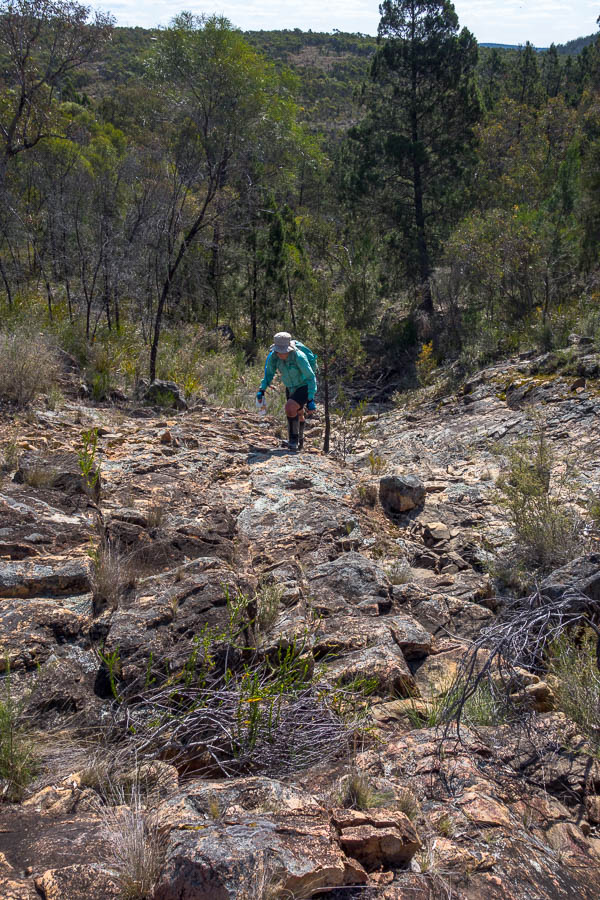
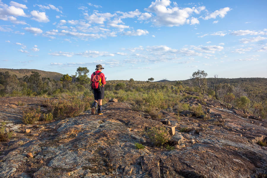
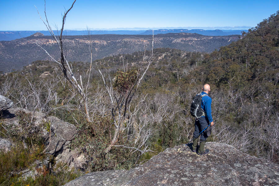
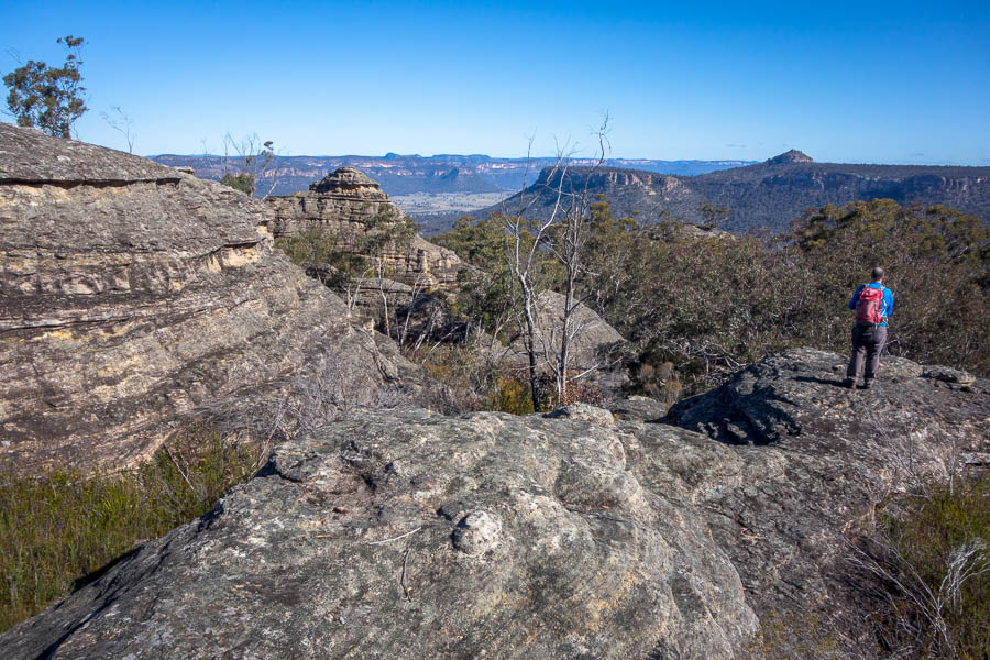
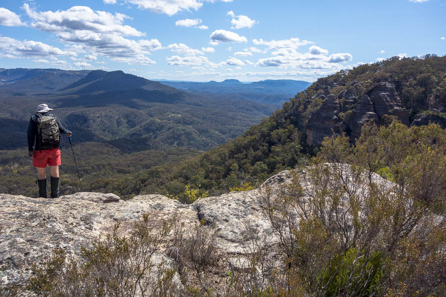
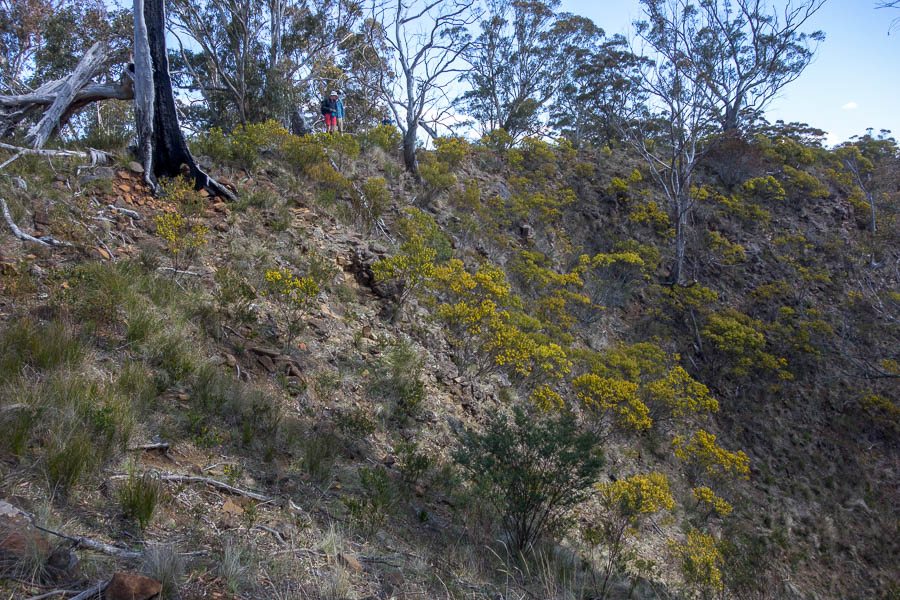
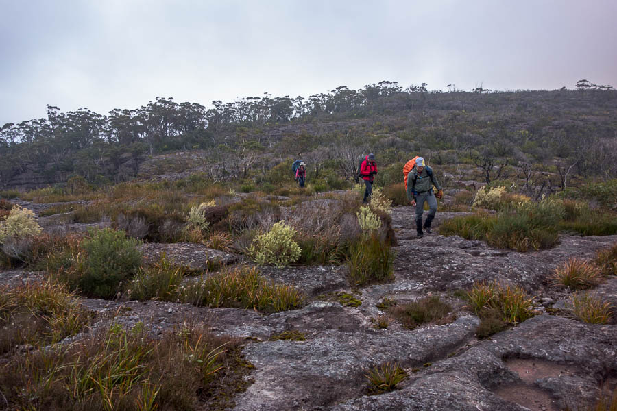
After our morning of caving we had to walk out to the road for a pick-up. This was quite enjoyable walking from my perspective – a much steeper ascent on mainly rock and then a similarly steep descent on rock before a flattish trail. Our group was pretty competent, everyone handling the conditions far better than I would have expected from my judging on the bus on day 1. So on that evidence the Oxalis screening process was effective.
Muddy trekking
Trekking over limestone
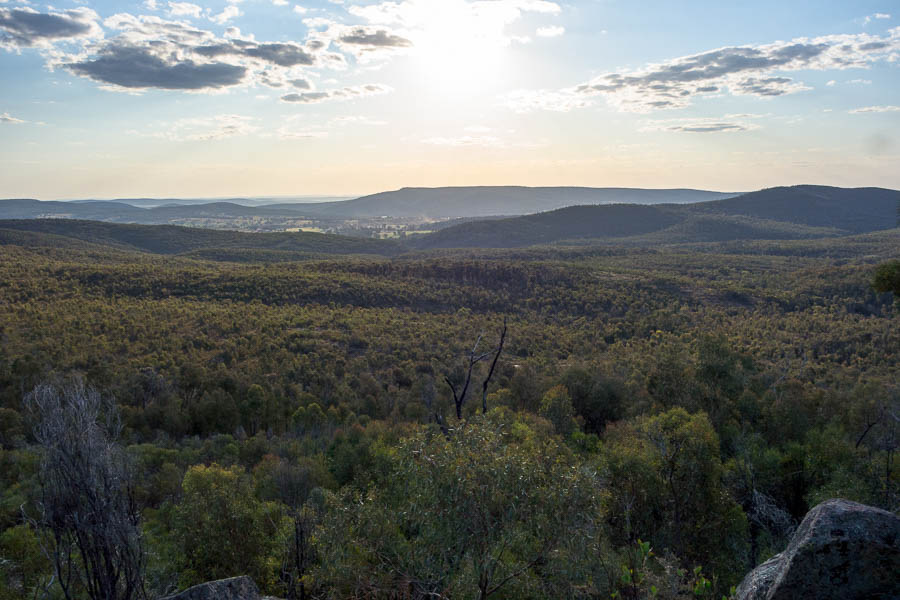
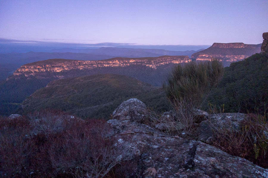
We got picked up on the road mid-afternoon and driven back to the lodge. We had a night in luxury at Tu Lan Lodges. That evening we were taken into the local village, by truck (no one was keen to cycle given it was still raining!). Dinner was at one of the Oxalis staff members houses. It was really interesting to see the houses, including the floating house which gets used when the valley floods a few times each year.
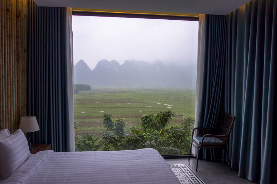
View from our lodge
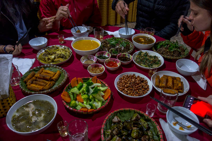
Dinner in the local village

The group, with our host for dinner at the head of the table
Unfortunately for us our flight had been cancelled the following afternoon and we had to get a morning flight. This meant a pre-dawn departure so we didn’t get to fully enjoy the lodge.
Despite the unseasonable rain (it’s meant to stop raining late November) we had a great time. The Oxalis camp set-up meant the conditions were almost enjoyable. The highlight was Hang Tien 1 – not sure I really needed the day 2 of jungle trekking – we do enough rough walking of that nature in our own time without needing to pay for the experience of ‘jungle-trekking’. It was hard to tell how contrived the route was or whether a more cave-intensive itinerary was possible. It’s somewhat a moot point as Oxalis is the only company with permission to run trips in the area!