It had been 7 years since our last trip to the canyons of Utah. There hadn’t been a lot of canyoning done in Australia during that time either – what with bushfires, floods and Covid in the last 4 years.
I thought I’d set a relatively unambitious schedule with easier canyons – nothing overly exciting on the list. But even that seemed like it might be too ambitious when Tom managed to magic up some bruised (actually more likely fractured as it turned out) ribs the week before we left. Great.
Things didn’t start well when the airline moved our flight 24 hours and didn’t bother to inform us. Fortunately I had logged on to check the flights and noticed – so we managed to fly only 10 hours delayed rather than 24 hours.
As we had learnt from our 2013 and 2017 trips it’s not worth trying to get out of Las Vegas on the first day. Due to the change of flights it was just as well we weren’t planning to, as we didn’t get in till 10pm. That didn’t stop us accepting free (crappy) champagne from the concierge at our hotel though.
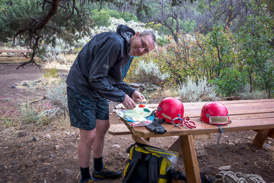
Feeling groggy (from the jetlag!) the next morning we set off on the unpleasant task of trying to buy supplies for a month living out of the car. This isn’t fun at the best of times, let alone when you’re jet-lagged and in a foreign country with strange things lining their supermarket shelves. I quickly felt justified at bringing full-fat milk powder, untoasted muesli and cup-a-soup packets with us, as nothing resembling these were available in the supermarket we went to.
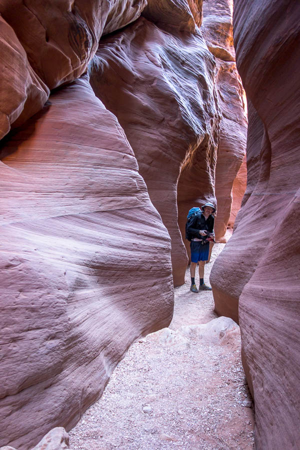
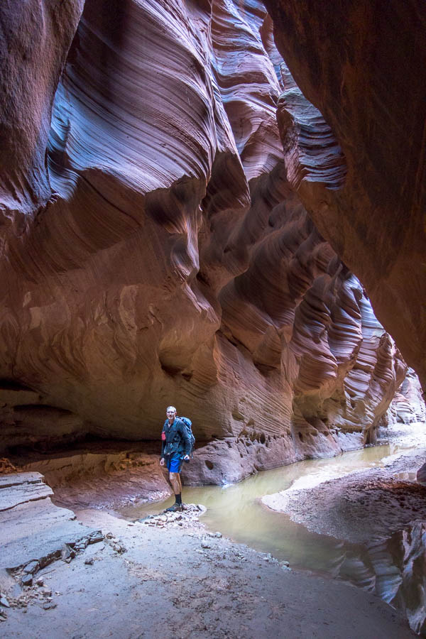
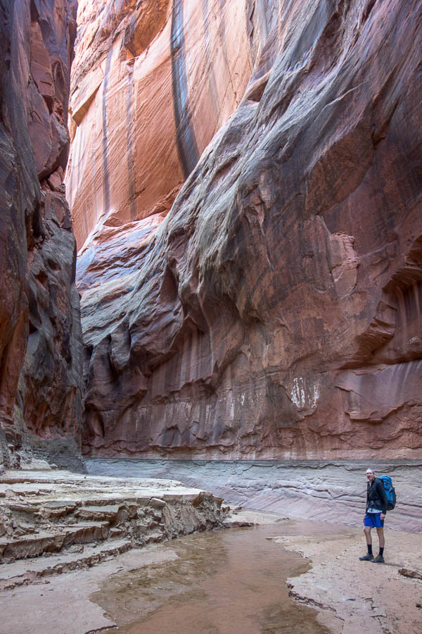
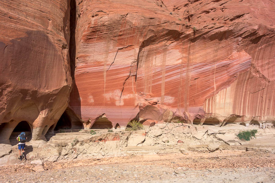
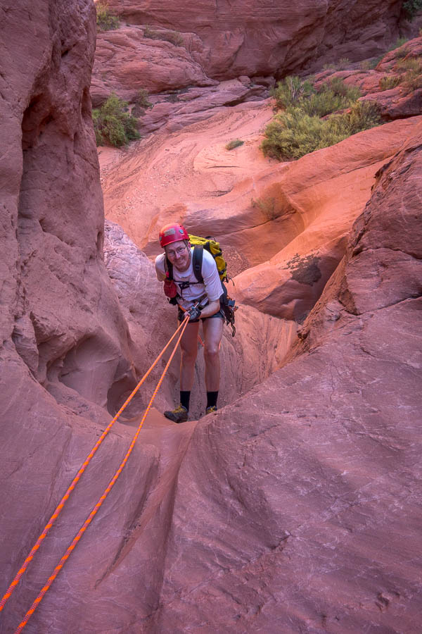
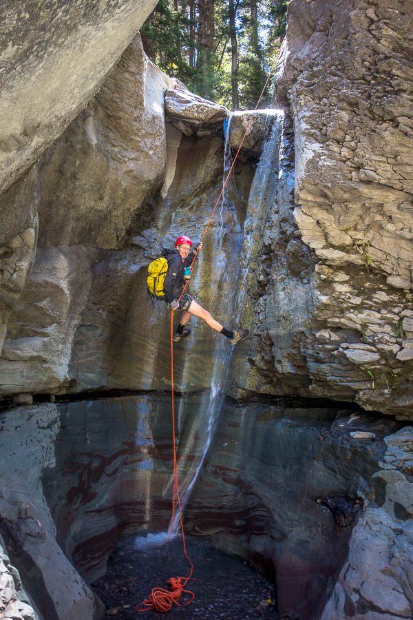
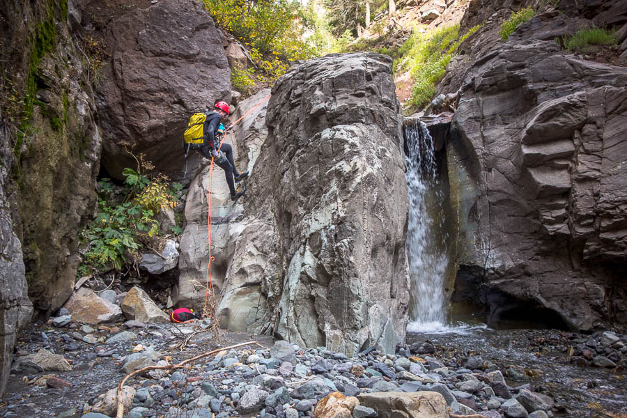
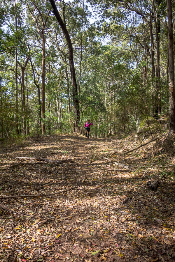
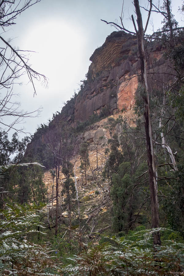
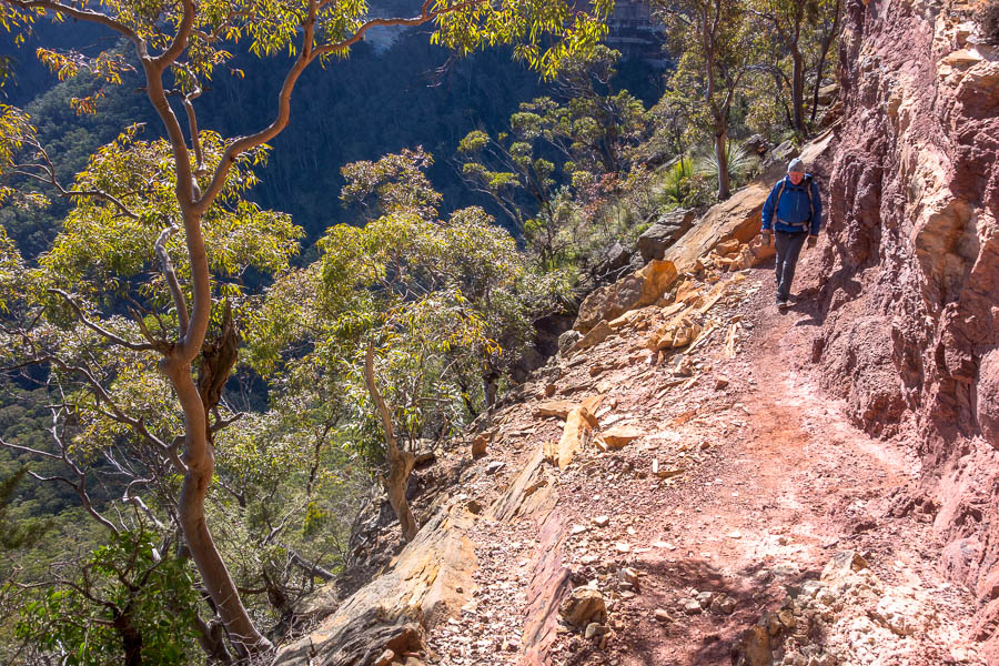
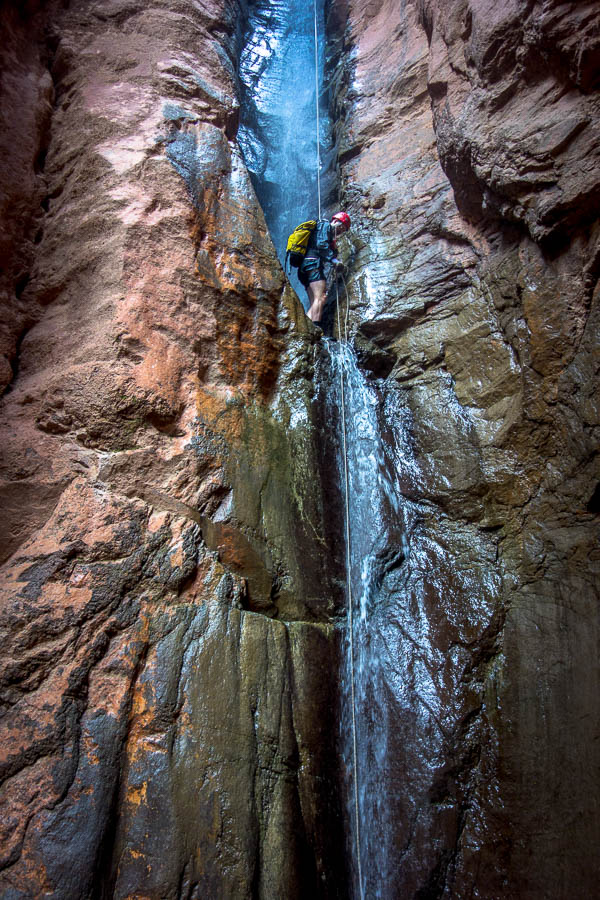
Shopping took most of the morning and it was after lunch before we were on our way to Zion. We had hoped to shop the previous day and have time for a longer canyon but as things were we settled for Ghost Rider. The idea was that this would just get our heads in the game. We watched in horror as the car temperature climbed to 110°F (43°C) as we drove across the desert. Ghost Rider wasn’t far off our route so we figured we’d give it a go anyway – the canyon was only supposed to take an hour.

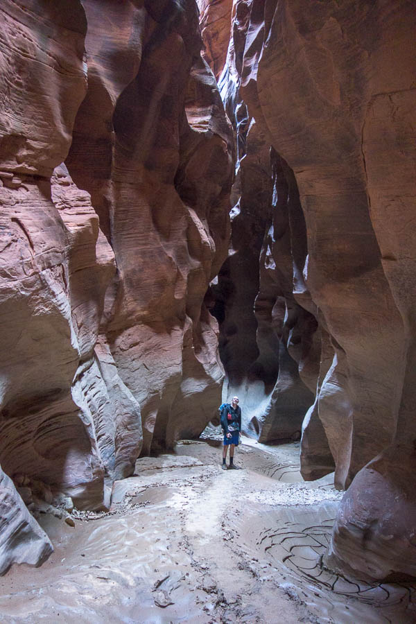
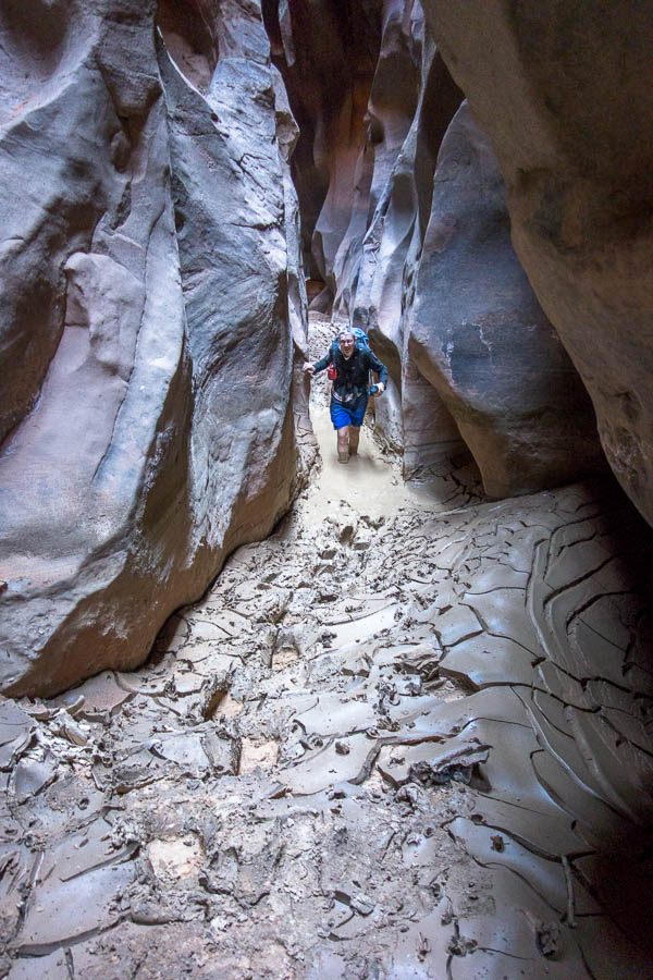
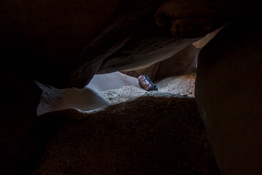
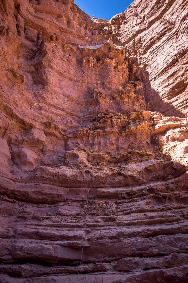
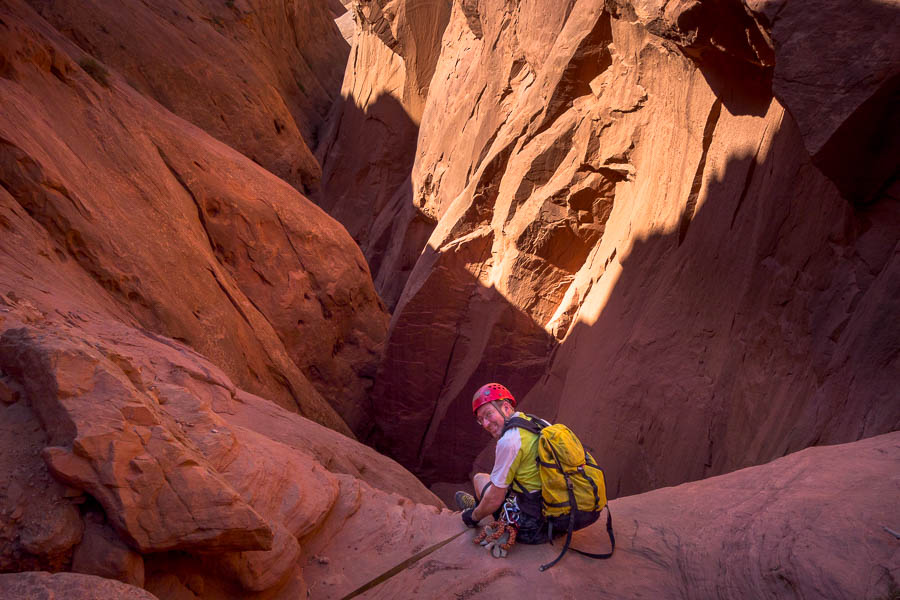
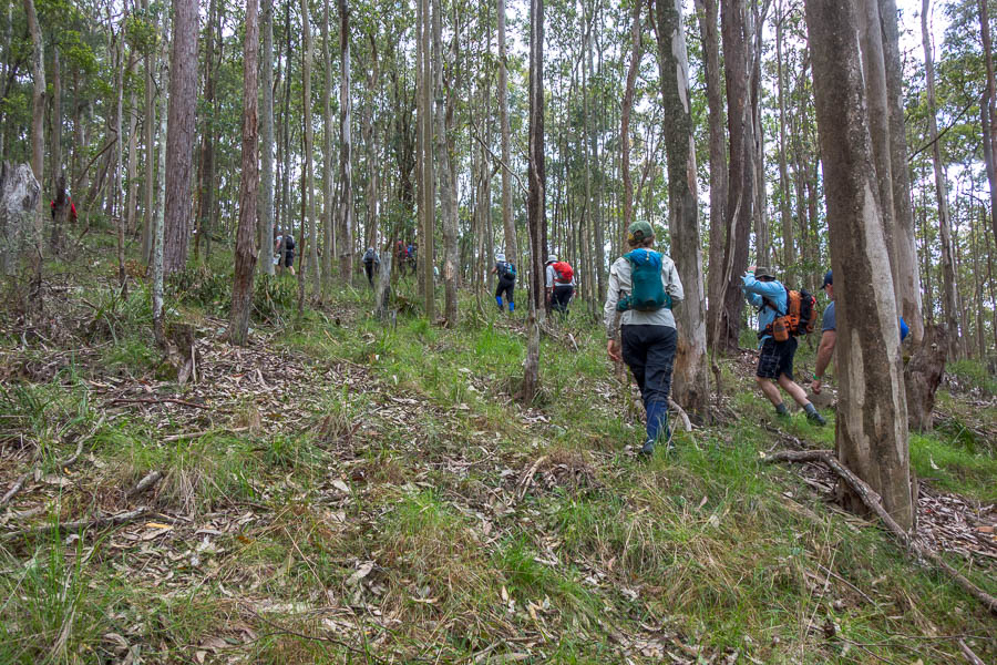
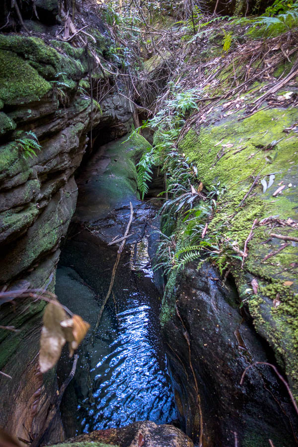
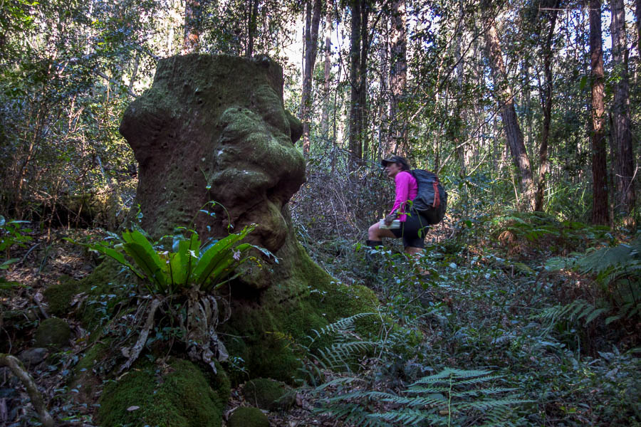
Heading down the drainage to Ghost Rider

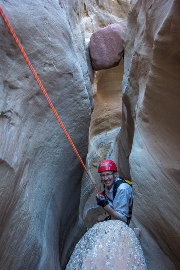
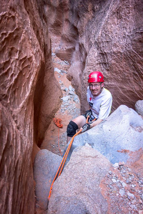
Abseiling in Ghost Rider
I don’t think I’d registered it was in limestone country so any hope of it getting us used to the grippy sandstone were dashed.

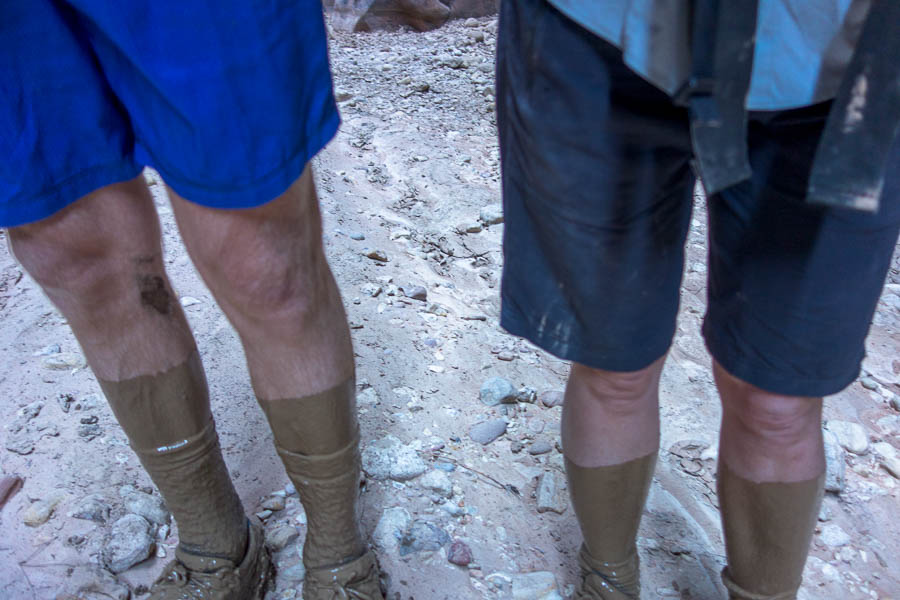
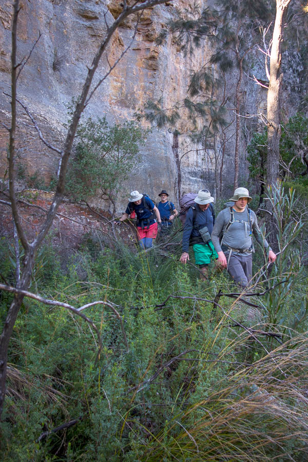
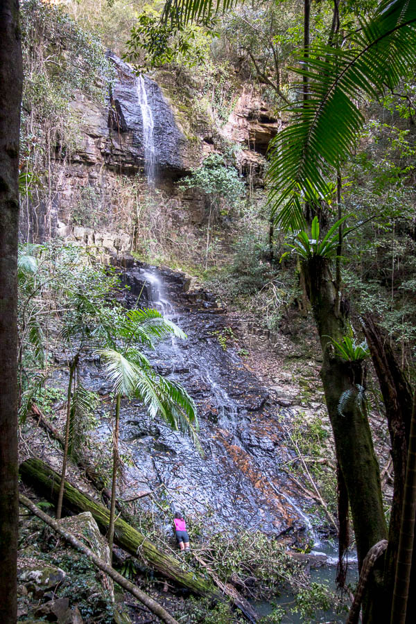
On the walk out – we haven’t melted!
We didn’t melt and it wasn’t long before we were driving through Springdale with lots of fond memories of previous trips. The advantage of arriving late was there was no queue to get into Zion National Park! The temperatures did not abate overnight and we had a sticky low of ~30°C.
Much like our 2017 trip I had scheduled Boundary for the first couple of days. And much like our 2017 trip Tom decided he wasn’t physically up for it. The forecast was a bit unstable as well – possible thunderstorms. I lay there trying to think of alternatives and finally came up with what I thought was a great option – Middle Echo – we’d really enjoyed it in 2013, we didn’t have drive anywhere, there seemed to be permits available, and it wasn’t too big a day. Except then I realised that the access point within Zion was closed due to rockfall. So much for that idea.
We’d never been to the Kolob side of Zion and I had Lava Point Campground booked for that night. So the compromise plan was to do a hike in that area. It was only the next morning when I looked at things a bit more closely that I realised Lava Point was not really anywhere near the Kolob hiking area. Needless to say there was a little bit of frustration creeping in as nothing was going quite to plan.

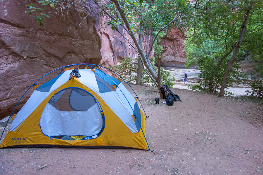
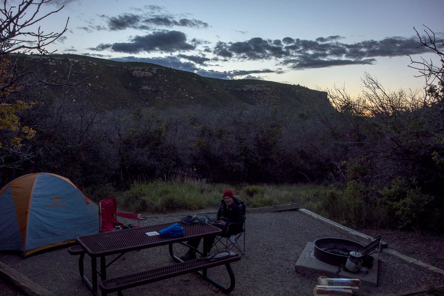
Pre-requisite Zion campsite photo
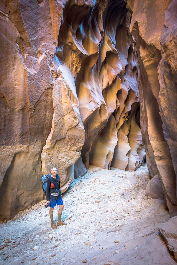
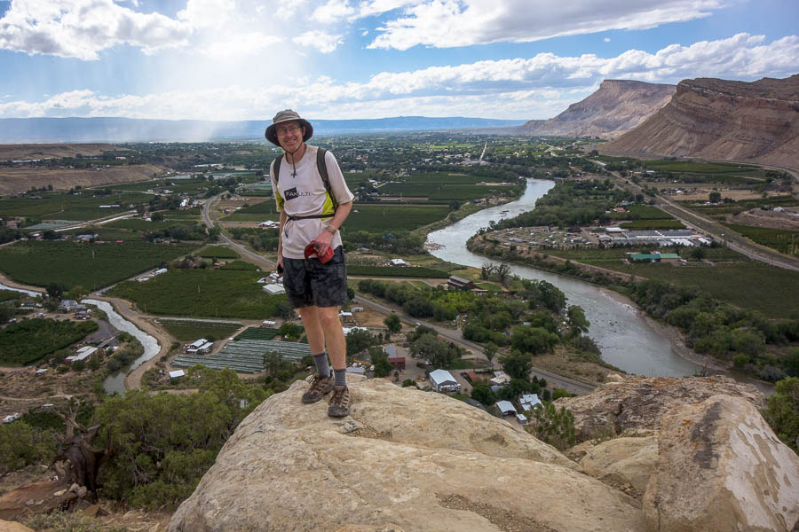
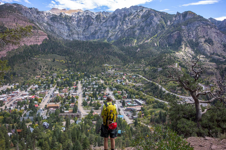
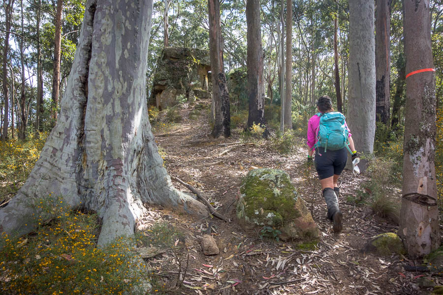
Not having a better option we decided we’d just head to Taylor Creek anyway. We had a pleasant (if hot) hike out to the Double Arch Alcove. After that we headed to the Timber Creek Overlook Trail which had excellent views of the Zion area. I can’t believe we hadn’t been here previously!
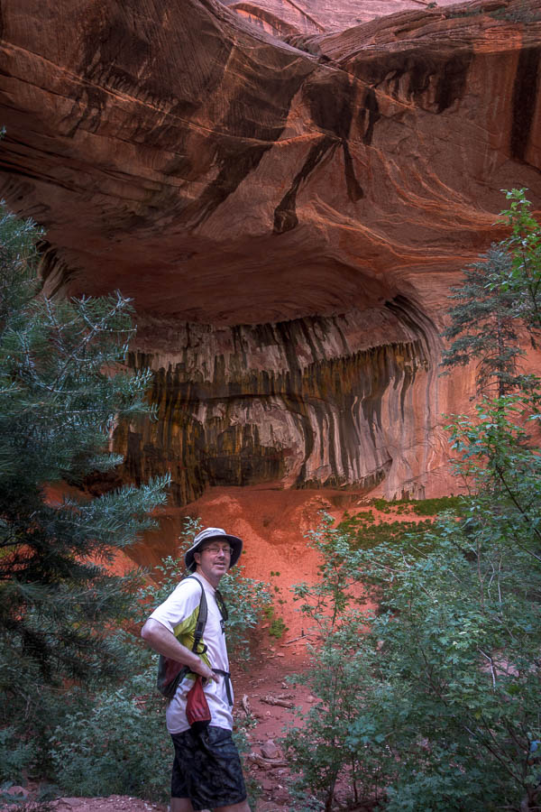
Double arch alcove – Taylor Creek
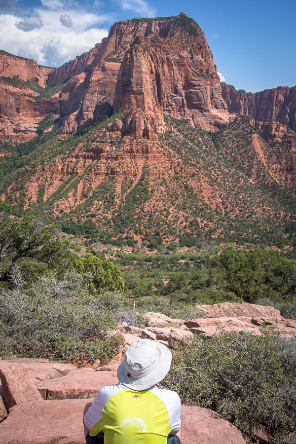
Timber Creek Overlook views
We were forced to have a stop in La Verkin for a cold drink as the jetlag and hot weather combination was making it dangerous to keep driving. Eventually we did safely arrive at our campsite at Lava Point. We were very happy to get up in altitude and to some lower temperatures. While we were setting up there were thunderstorms rolling around, and we eventually retreated to the car as the rain came through.

Watching the thunderstorm roll around us
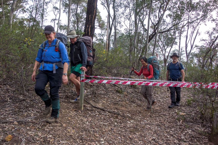
I still had hopes for Boundary and was trying to convince Tom we should do it the next day. There were still possible thunderstorms forecast but I thought if we got up really early we should be able to beat them. But eventually between Tom’s ribs and the forecast we decided it wasn’t the best idea and we’d just do what the original schedule had called for and head to Benson Creek.
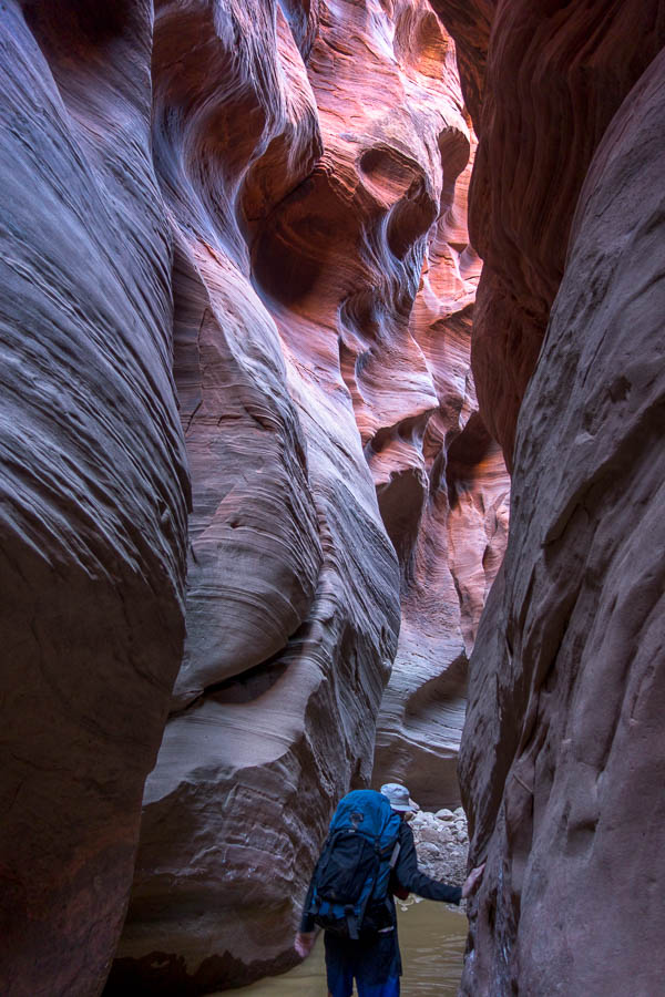
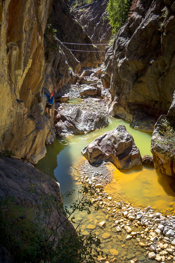
We didn’t take the optimal driving route and so it was a bit later than planned when we arrived – and there were ominous grey clouds positioned right over the canyon. Needless to say I was a little nervous as the thunder rolled around our heads as we marched up the trail. On the plus side it was a short canyon, and the terrain seemed to have some soil to capture the run-off if it did start raining.
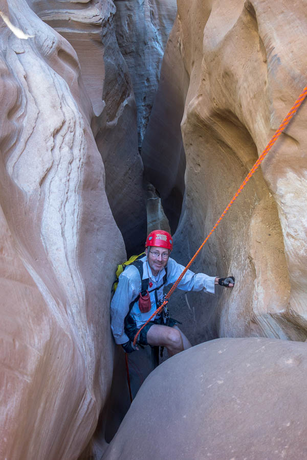
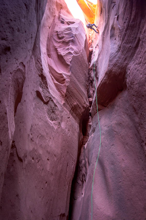
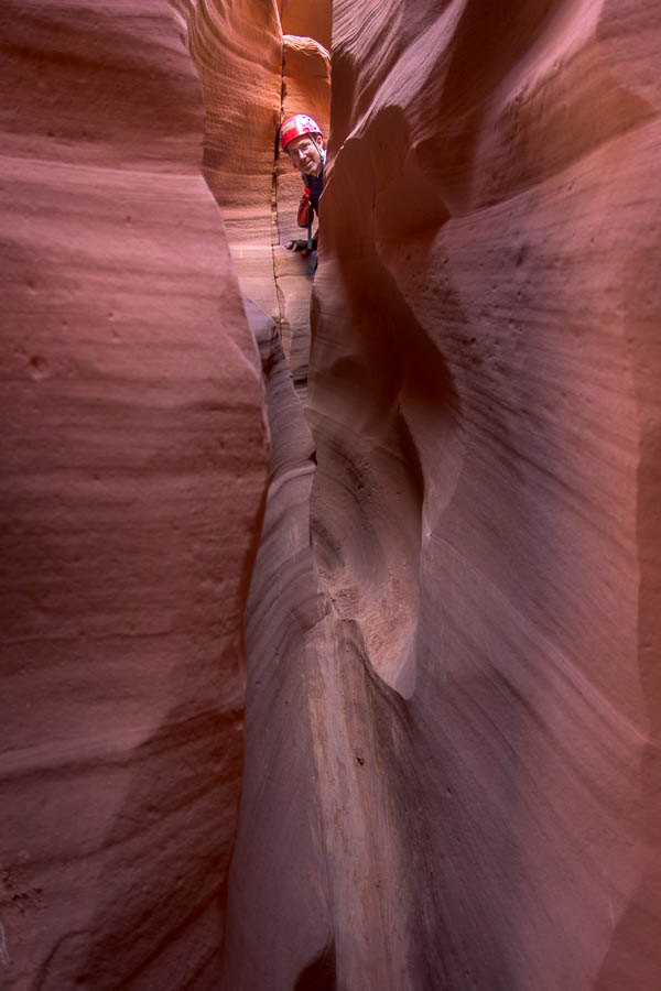
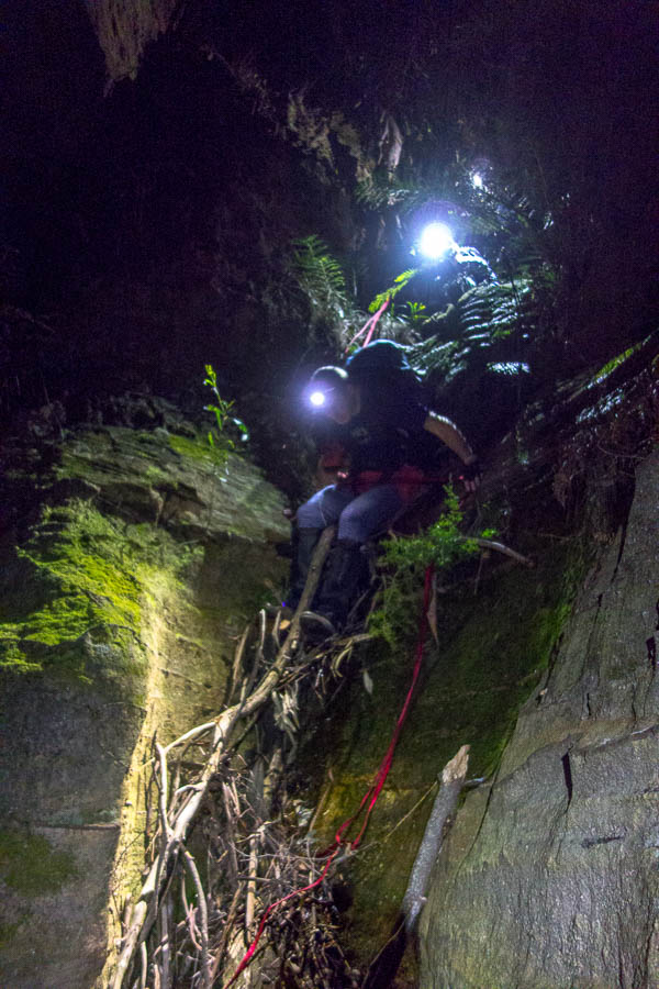
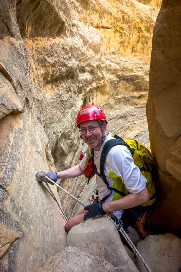
Abseiling in Benson Creek

Abseiling in Benson Creek

Abseiling in Benson Creek
We managed to get through Benson Creek narrows in less an hour without the weather deteriorating any further. We then made the (foolish?) decision to have lunch at the picnic area just below the canyon. Most of it was spent huddled under a tree as it spat on us. Just as we were finishing up the rain really started coming down. So there was more huddling, but eventually we sucked it up and marched back to the car in the rain. Why would I bring a raincoat for a trip like this/with a forecast like this?!
Lunch in the drizzle
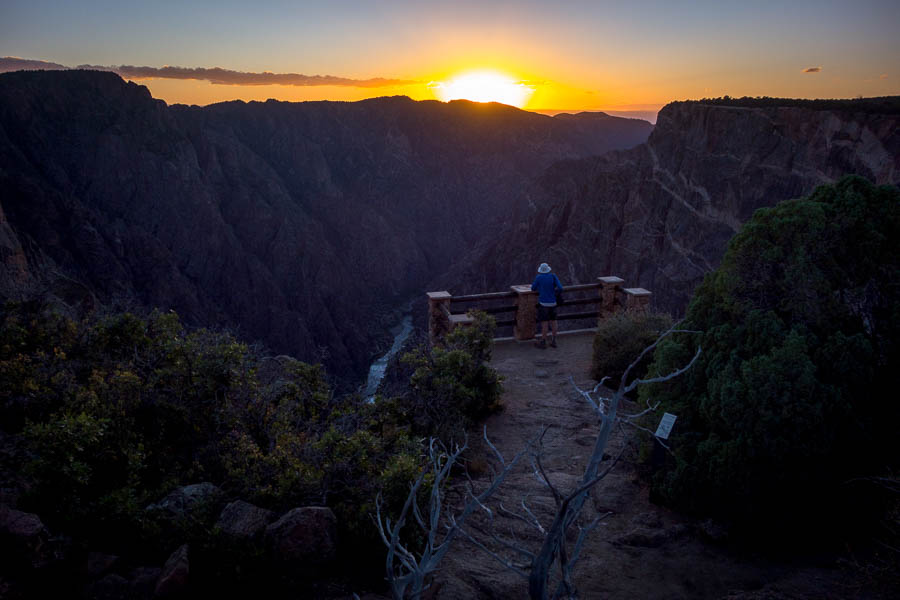
From there we headed up to Point Supreme Campground, at 10,300 feet (3,100m), the highest place we’d ever camped. No worries about the hot weather here! In fact us, along with many others, spent a couple of hours that afternoon hiding in the Cedar Breaks National Monument Visitors Centre while it alternated rain and hail. It cleared and we were able to set up a dry tent, and even get a nice sunset at one of the view points.

Cedar Breaks National Monument – spectacular
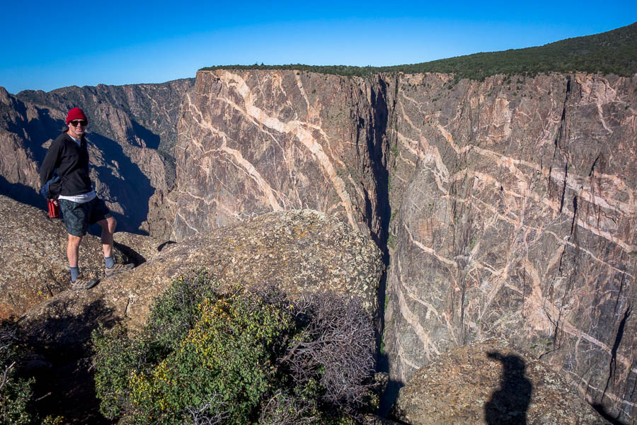
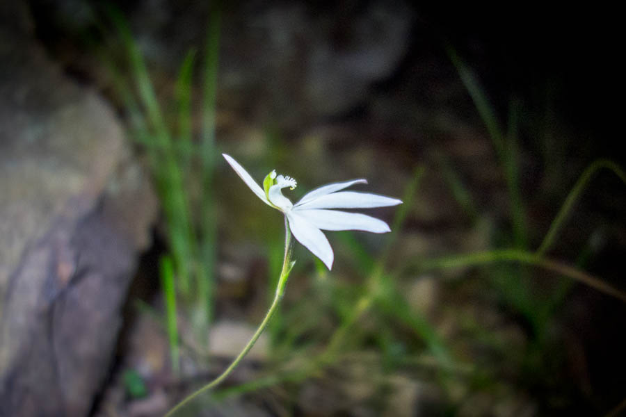
We checked out the Southern Rim Hike the next morning which was excellent – though the altitude did make it harder going than it would have been normally. The light was stunning.
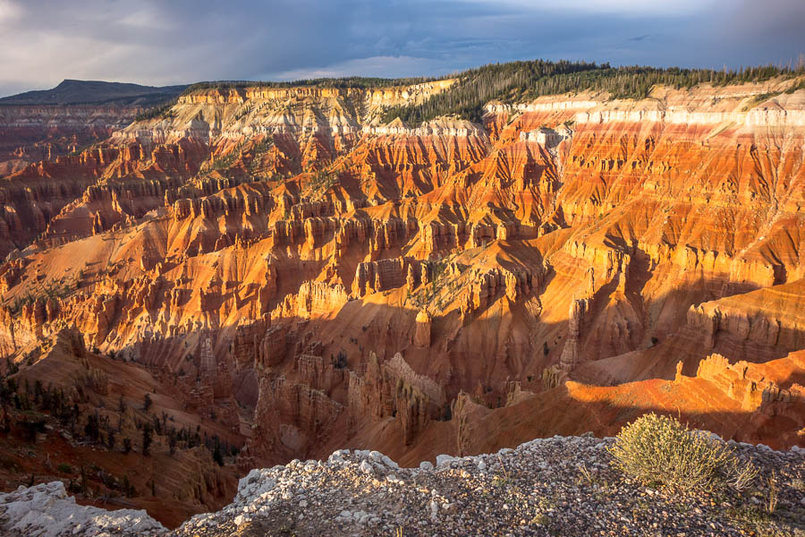
Cedar Breaks National Monument


Cedar Breaks National Monument
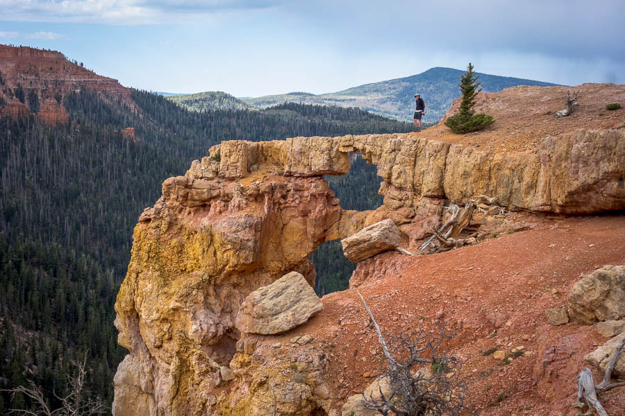
The Bartizan, South Rim trail, Cedar Breaks National Monument

Amazing light
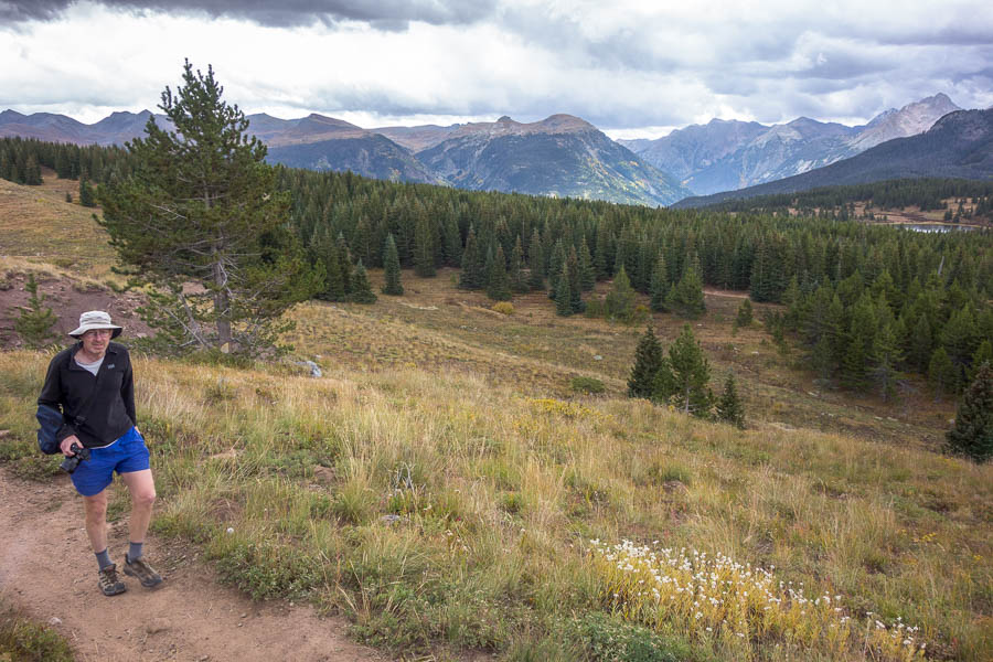
From there we drove to an even higher point – Brian Head at 11,307ft / 3446m this was the highest either of us had ever been. No work to do it for it either as there was a road to the high point. Then we did the Twisted Forest hike for lunch. I enjoyed it so much I did it twice… when I realised I’d left my drink bottle at our lunch spot. Fortunately it was only a 40 minute return march the second time round!
Twisted Forest trail
Not content with our activities for the day we finished off with a visit to Mammoth Cave which is a lava tube which I wriggled through, but Tom decided his ribs wouldn’t thank him for it, so he contented himself with photography instead.
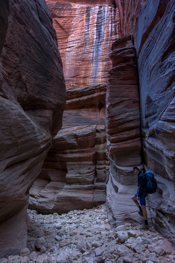
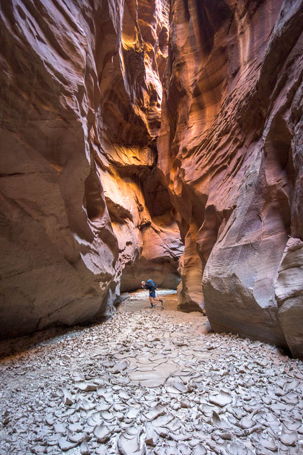
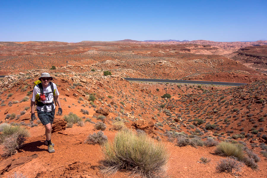
Another (not quite as) high camp that night at Lake Panguitch kept us at a good temperature, but the next day we descended down to the San Rafael Swell. We had another short (2-3 hours) canyon on the agenda – Lupacchiotta Canyon. This one involved just parking on the side of the Interstate highway.
Rather than following the directions Tom decided we could navigate better. But he’d forgotten about cryptobiotic soil – you shouldn’t just march cross-country as you bust open the protective soil, so we had a slow and inefficient approach avoiding all the crypto. Should have just followed the instructions!
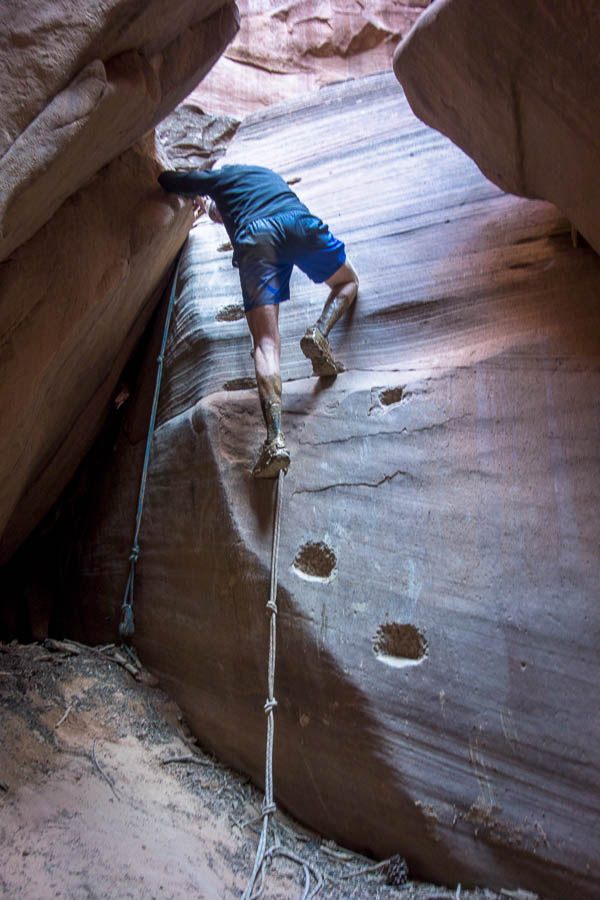
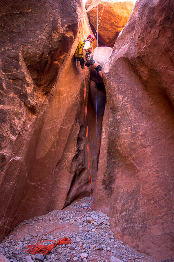
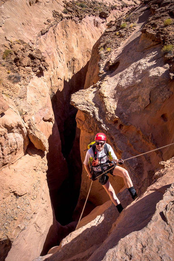
Abseiling in Lupacchiotta Canyon

Abseiling in Lupacchiotta Canyon

Couldn’t quite avoid the water
Our intended camp for the night while very close as the crow flies, required us to be on the other side of the interstate and it was 12 miles of driving before we were able to turn-around and drive back 14 miles or so. It was a slow drive in to our intended campsite as we spent plenty of time checking out various sections of the road before proceeding, but we got there eventually.

Campsite with all the mod cons
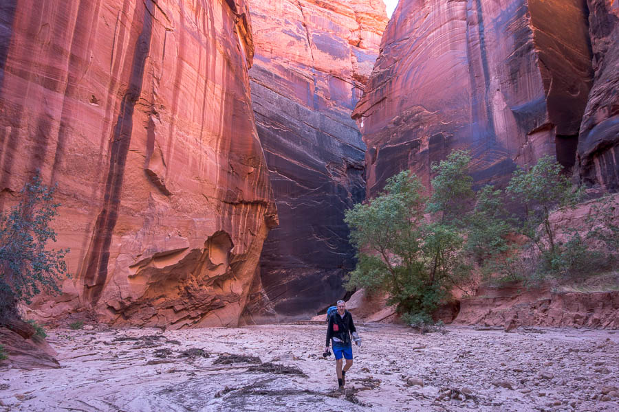
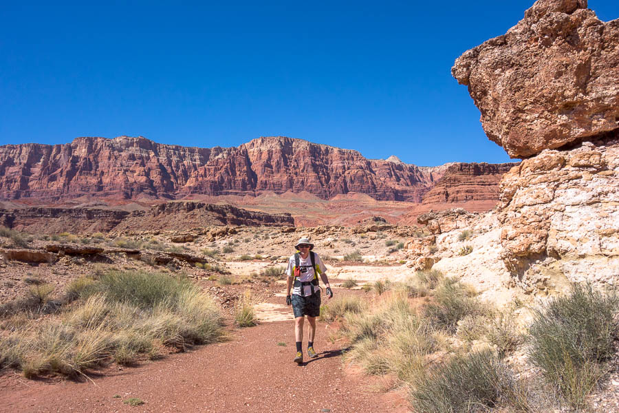
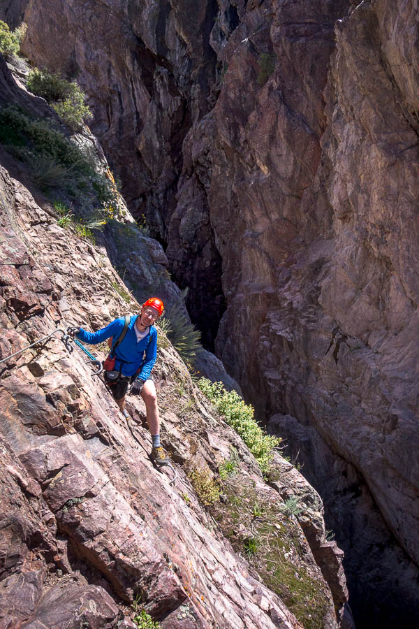
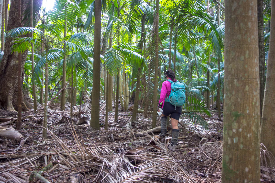
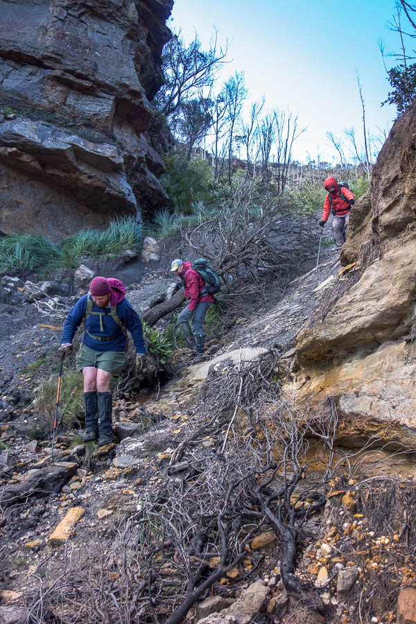
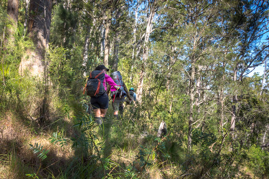
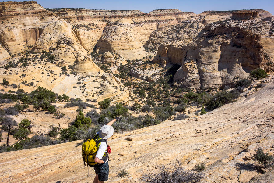
The next day was the first ‘big’ one of the trip – in that it was a full day and not a half day or less. We set off early to try and get the cross-country done before the heat of the day.

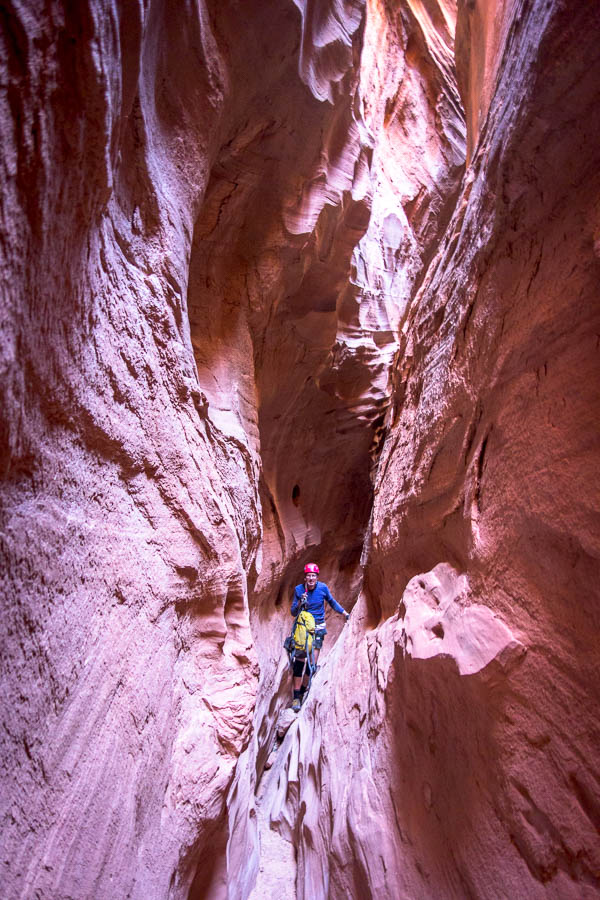
Big country – on our way into Eagle Canyon
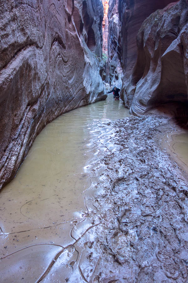
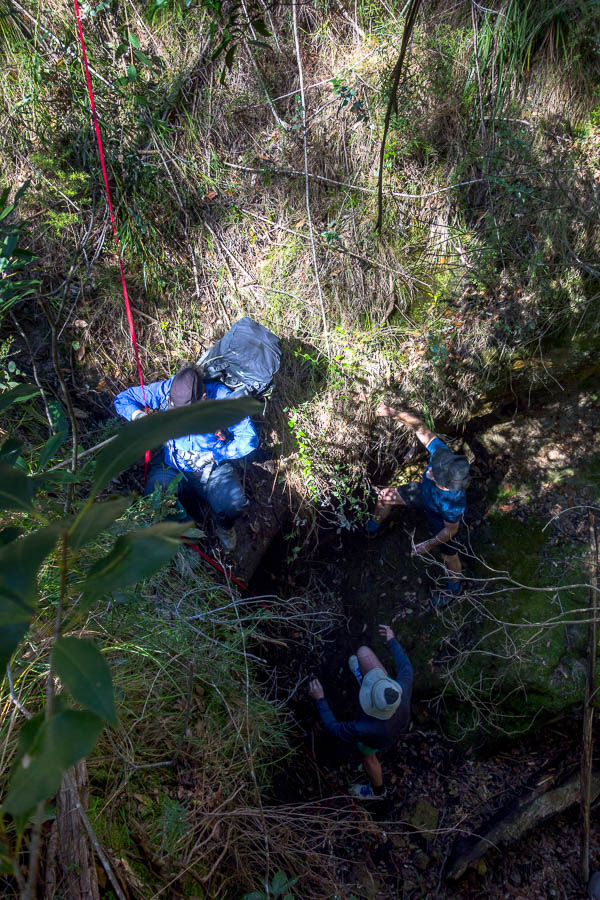
We weren’t too happy to find ourselves with some waist-deep wades with associated goopy mud as we progressed up Forgotten Canyon. The beta we had promised “This is NOT a route for beginners, nor for those looking for a slot canyon adventure. It IS a route for those looking for an elegant and challenging route with a little bit of technical rope work. The route requires good navigation skills, route finding, and most of all, good judgment. In several spots, there is relatively easy, but very exposed climbing. Not for the faint of heart or inexperienced.”
The exposed climbing was not going to be fun with our shoes covered in mud. And our judgment proved correct – we got to the crux climb and stuffed around trying to overcome it. The slickrock that I think we were meant to just walk up just wouldn’t stick our shoes. I tried climbing the corner and couldn’t get up the very top. I tried climbing the dryfall but wasn’t bold enough to get up the final section. Eventually Tom had a go at the corner and managed to get up, and then was able to belay me up the dryfall (easy when you’re on a rope!). And after all the time we spent there I didn’t take a single photo of that section…

Wading in Forgotten Canyon
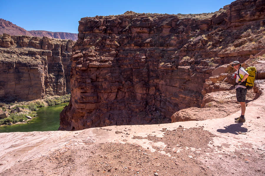
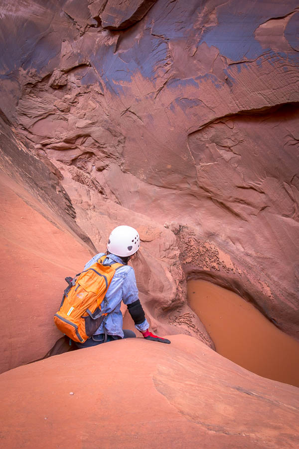
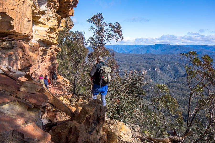
Once up the crux, we made it up Forgotten and over the mesa and back into Eagle with little issue. Though we did rim walk the upper narrows in Eagle since we could see they were wet. Eventually we got to the short technical section in Eagle – it looked very wet! Time for lunch then before we got saturated.
We made it up Forgotten, looking back at Forgotten Canyon Arch
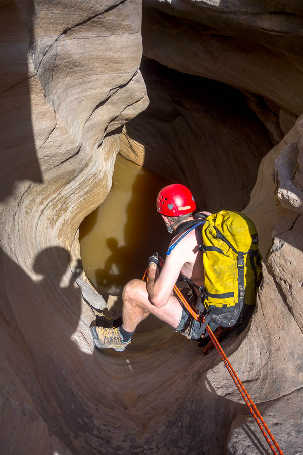
As this was a route that isn’t done that frequently and it seemed like it had probably flashed recently I was a bit nervous about the anchors – particularly for the final rap which was a log. Without knowing the nature of the log you’re never sure if it’s one that’s going to stick around for years or one that will get washed away with the next flood.
Subsequently we took a very conservative approach to the technical section – leaving ropes in place and checking out anchor options before proceeding. The final log was in place (phew) but with only a sling draped over it (not around it – maybe washed down from elsewhere?) so more time spent replacing that. The final rap took us in to a large pool with a 10m swim to get out of. Probably over an hour to get through 150m at most of canyon.
Tom contemplating a swim in Eagle Canyon

Now how do I get down from here?

Looking excited for a swim at the bottom of the final rap in Eagle
We were relieved to be out of it (and in the sun so we could warm up after several swims), only to find the next section was not only wet but the wet was black, rotting vegetation. No way was I going through that if I could help it! Fortunately we were able to rim walk and then step across the canyon at a narrow section and climb down past the worst of it. Winning!

No, I really don’t want to get in that

Exposed traverse to get back up to the car out of Eagle Canyon
Back to the car at 4:45pm it had truly been a long day. It would have been great to camp another night where we were but we stank. And I was happier to get out that night so I wouldn’t spend the night worrying about whether the car would get stuck. So to Green River and a motel – bliss!
Continue to Part 2
Return to Main Trip Page