We hadn’t done a road trip in our own car since 2005. After winning the bidding at a charity fundraiser for a couple of nights accommodation on Kangaroo Island we had some planning to do. Discarding thoughts of flying we realised we’d be able to go to our favourite wine region in Australia – Rutherglen, visit the best climbing in Australia – Arapiles, and get to a not-easy to access wine region – Coonawarra. Add in visiting friends in Adelaide and the plan had legs.
We started off with a night in the nation’s capital visiting Laina & Ross. This conveniently broke up the drive to Rutherglen. We hadn’t been to Rutherglen since our Sydney-Perth road trip in 2005. There had been a lot of talk about getting back here but with it being just a bit far for a weekend from Sydney it hadn’t happened. Needless to say we were pretty excited to be here!
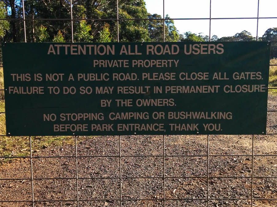
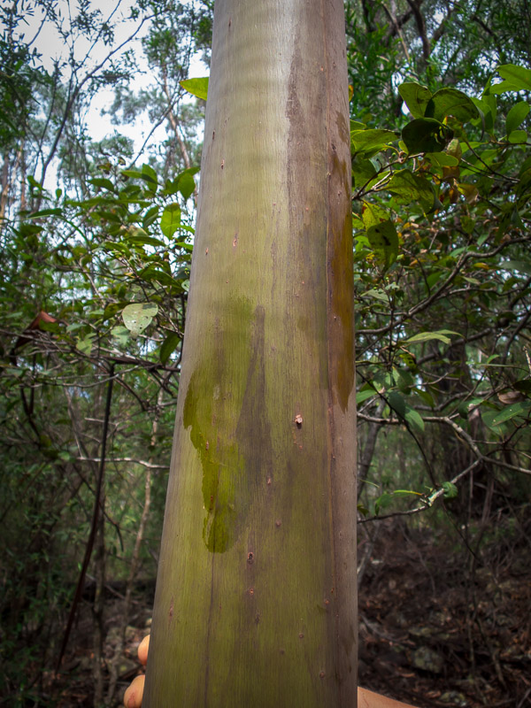
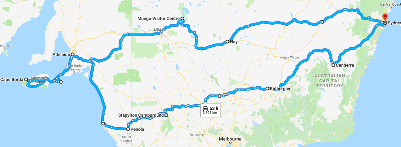
The sign says it all really
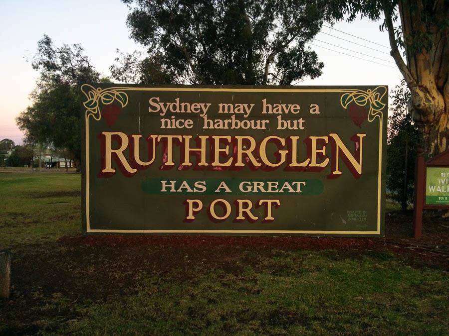
Tom with some of the line up at Chambers
We started off at Morris, then took advantage of Chambers being walking distance from our accommodation to squeeze in a tasting before closing time. Chambers hasn’t changed much over the years and is the only cellar door I’ve ever been to where you self-serve.
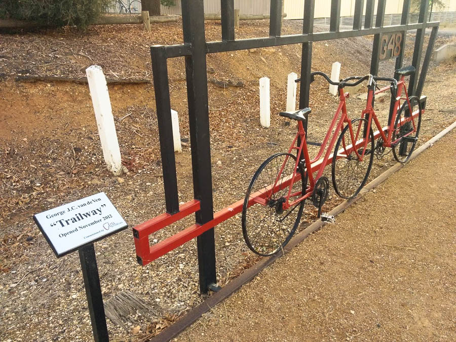
The following day I insisted we hire bikes to cycle around the wineries. I was acutely aware that unlike most of our holidays exercise was not front and centre – we needed to do it when we could otherwise we were going to come back lard balls! So we hired bikes and set off to Anderson Winery. Then we came back into town and joined the Murray to the Mountains rail trail. Rutherglen is very flat so the cycling was easy – which was just as well because the hire bikes were not very comfortable!
Mountains to Murray railtrail art
Second stop was All Saints, followed by a platter next to their lake in the lovely autumn sunshine.
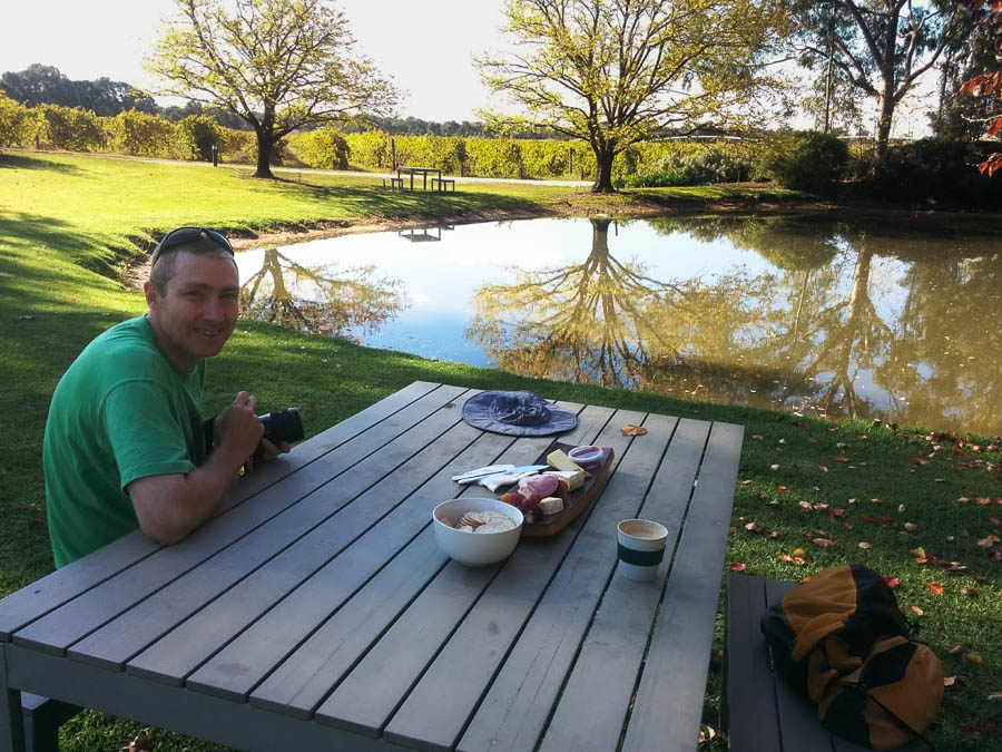
Recovering at All Saints after a couple of big tastings
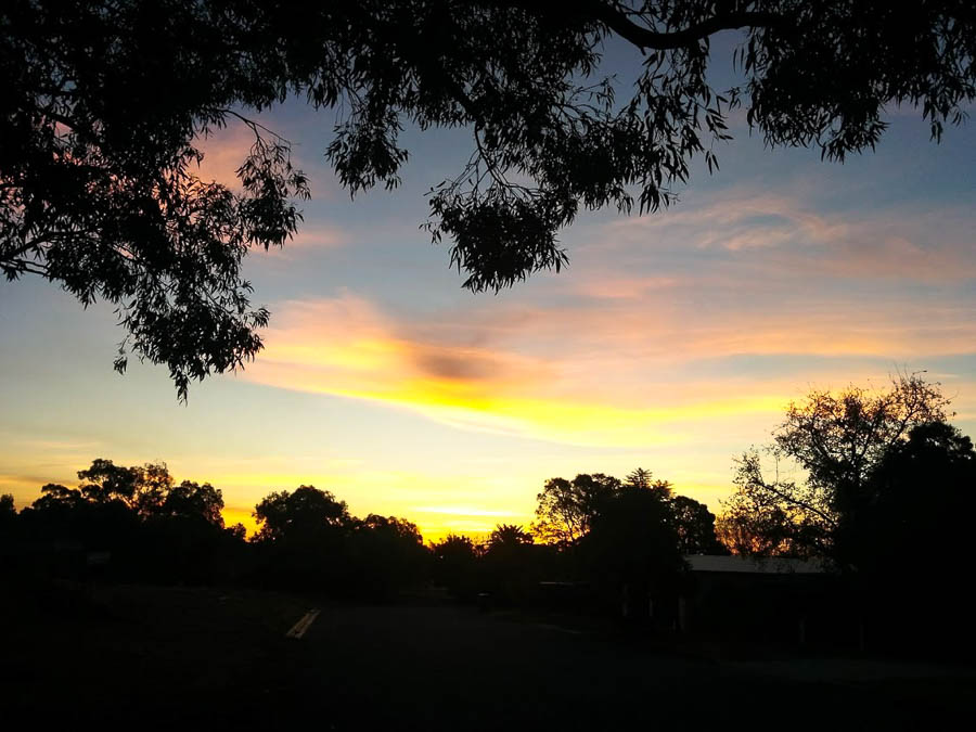
Rutherglen sunset
Last, and furthest away, was St Leonards next to the Murray River. After tasting we did a short walk down to the Murray behind the cellar door. From there we just needed to ride back into town – around 10km. Normally this would be pretty easy but not being quite the right fit for the bikes we had two different approaches – Tom’s was to ride as fast as possible to minimise the amount of time on the bike, mine was to amble along to avoid putting too much stress on my various body parts. Given this it was unfortunate we turned too early and ended up adding another 2km to the route home! On the plus side the weather was gorgeous all day and we were treated to a lovely sunset as we rolled into Rutherglen.
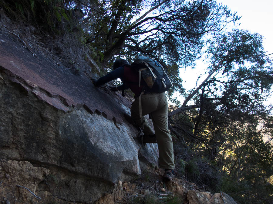
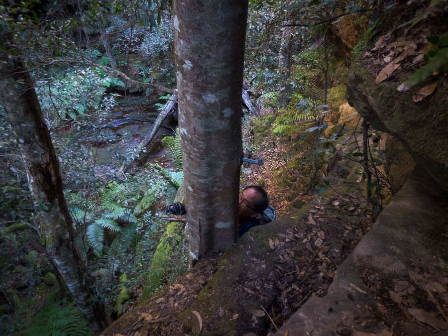
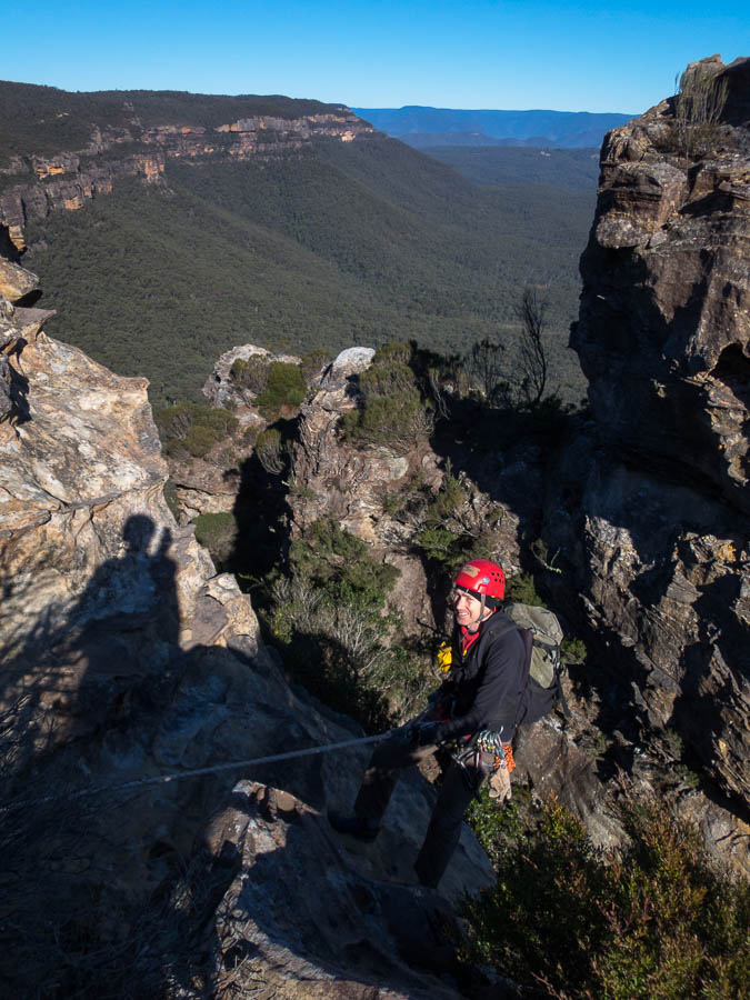
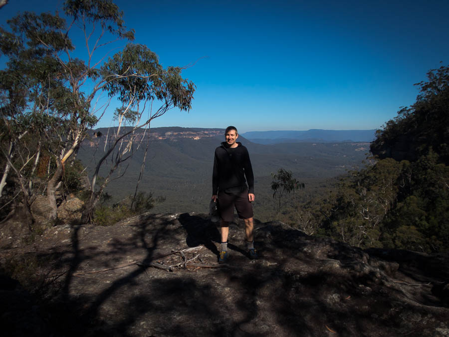
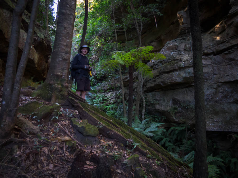
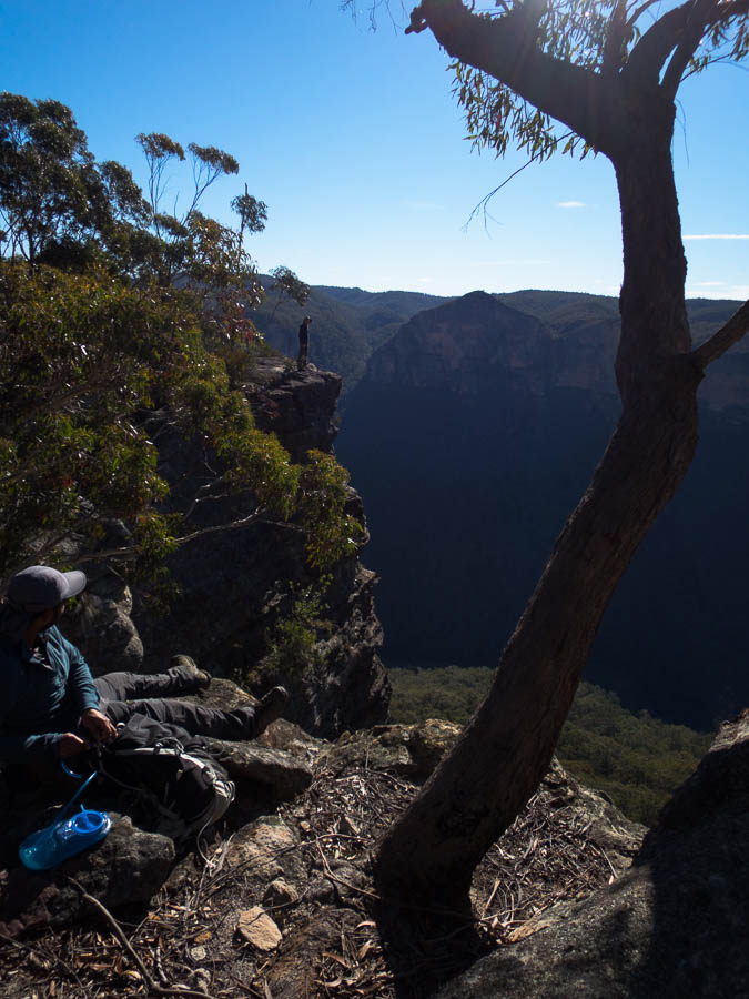
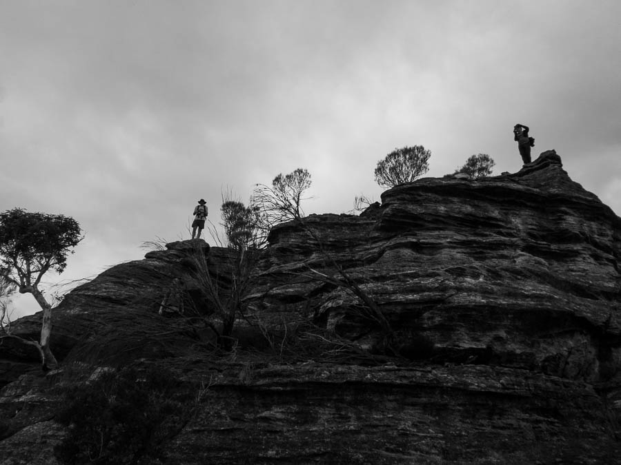
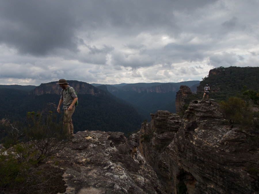
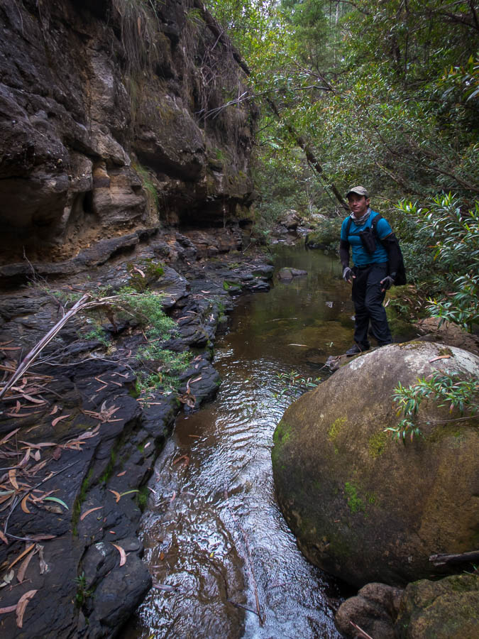
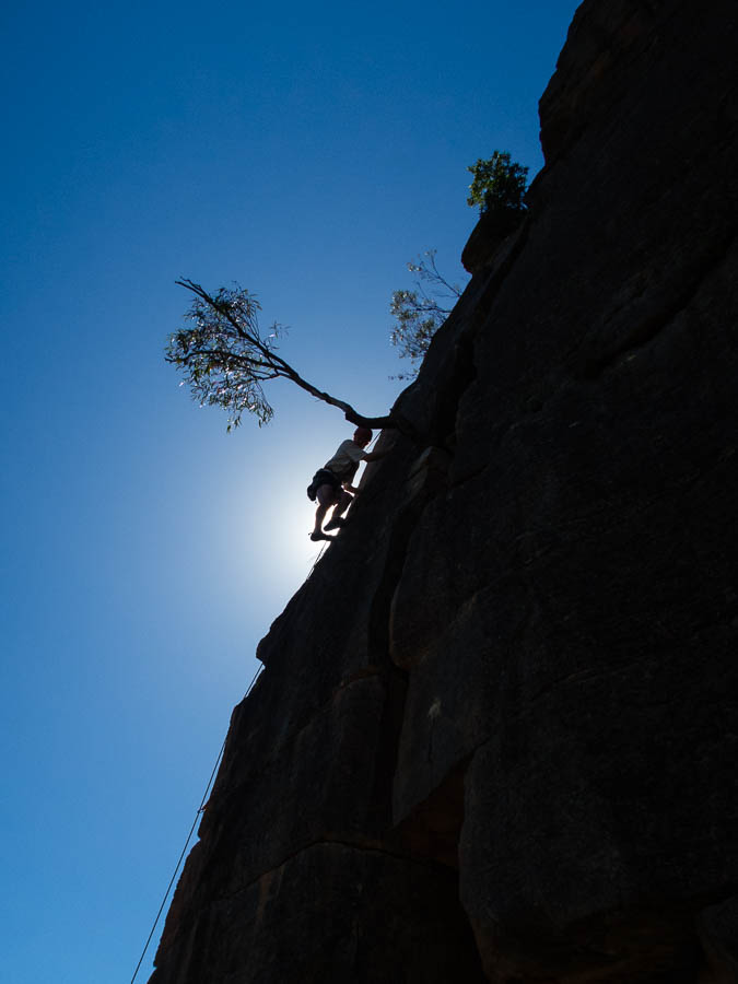
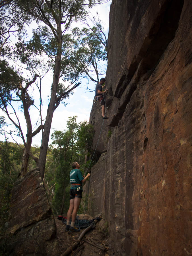
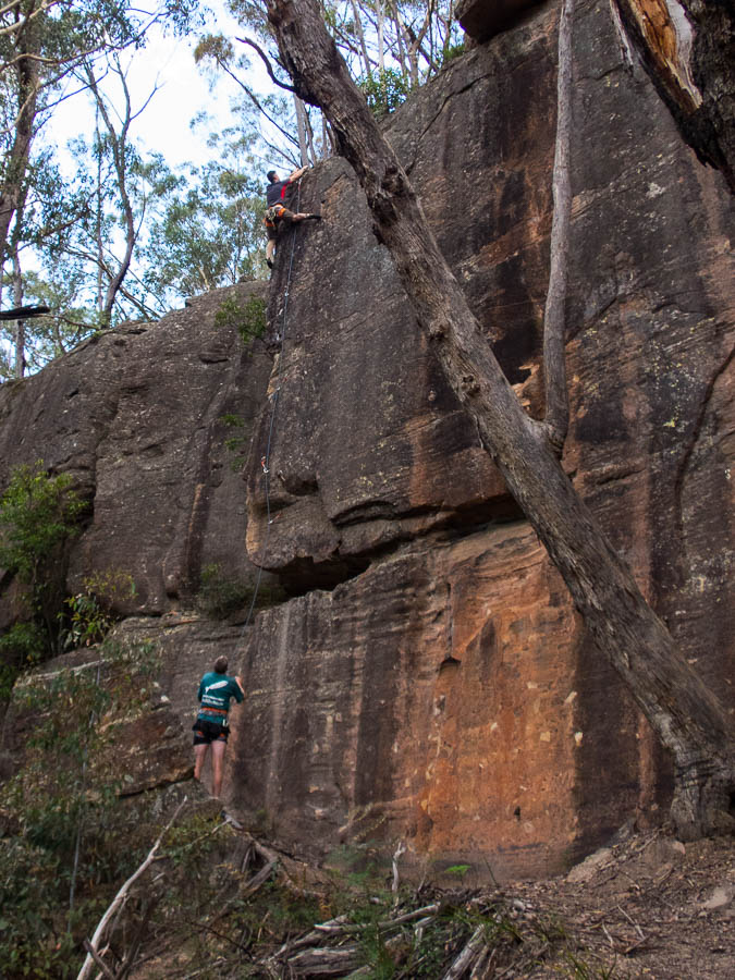
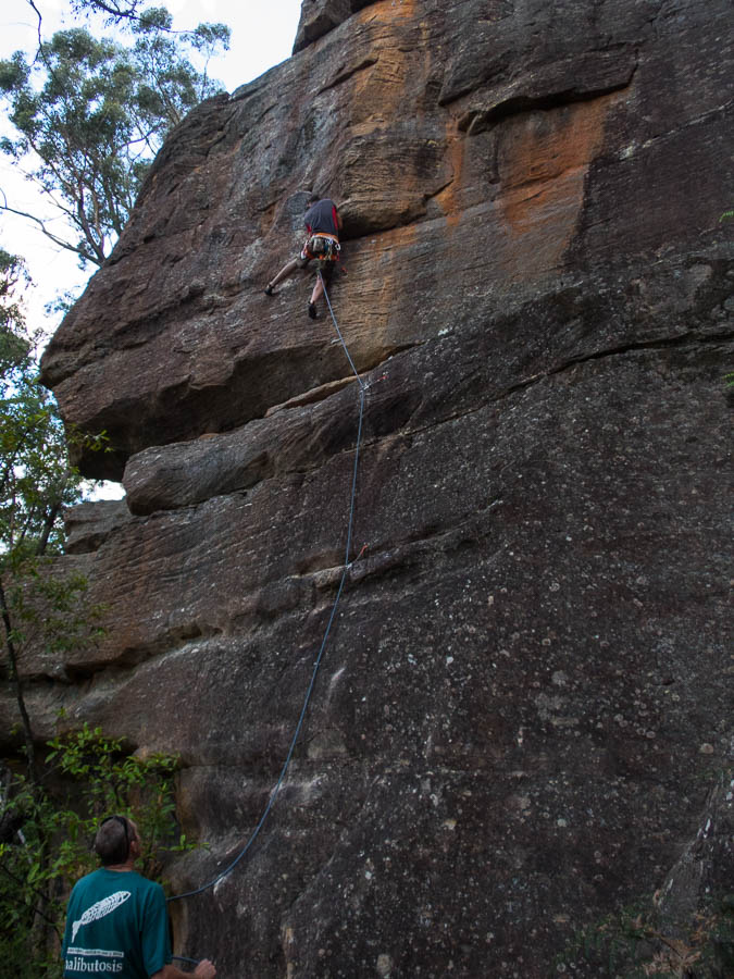
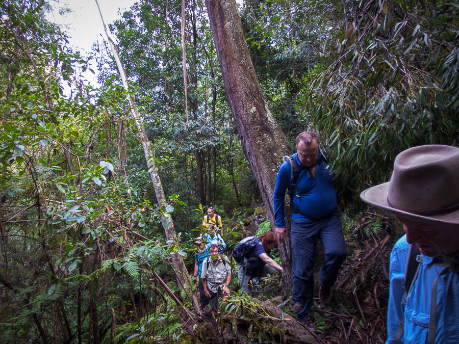
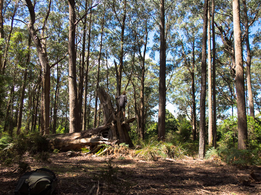
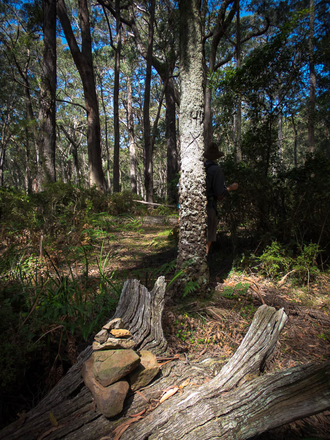
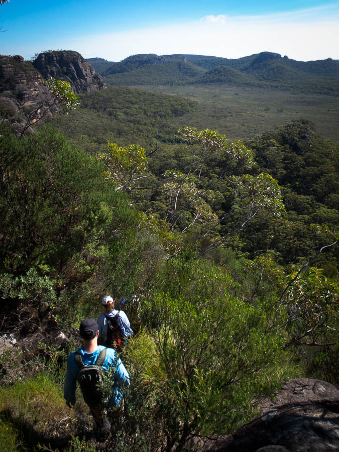
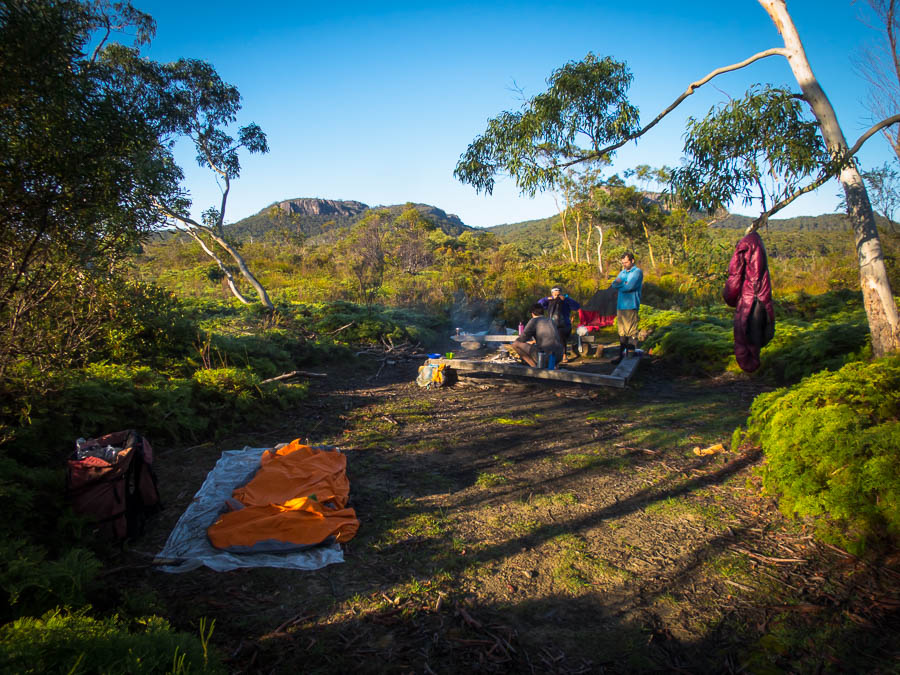
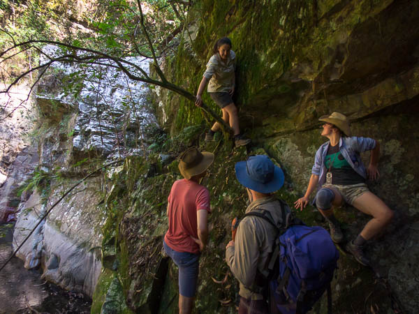
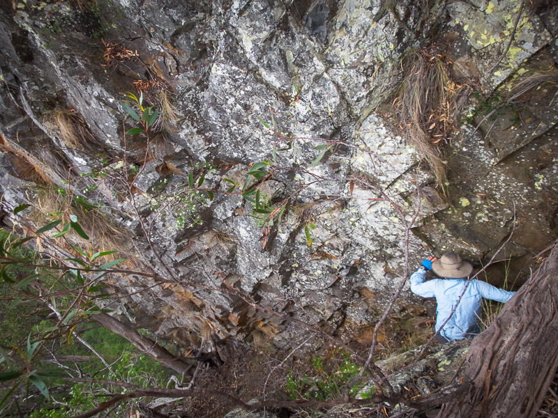
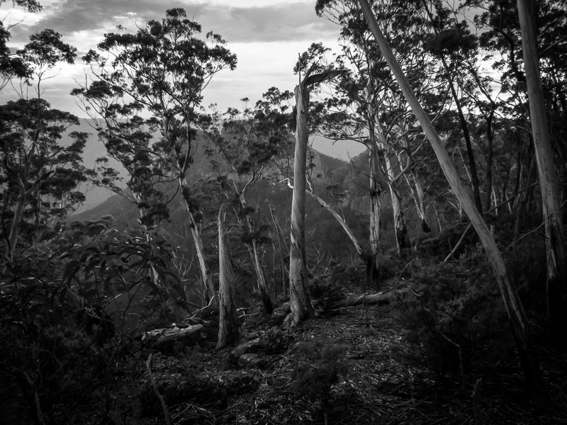
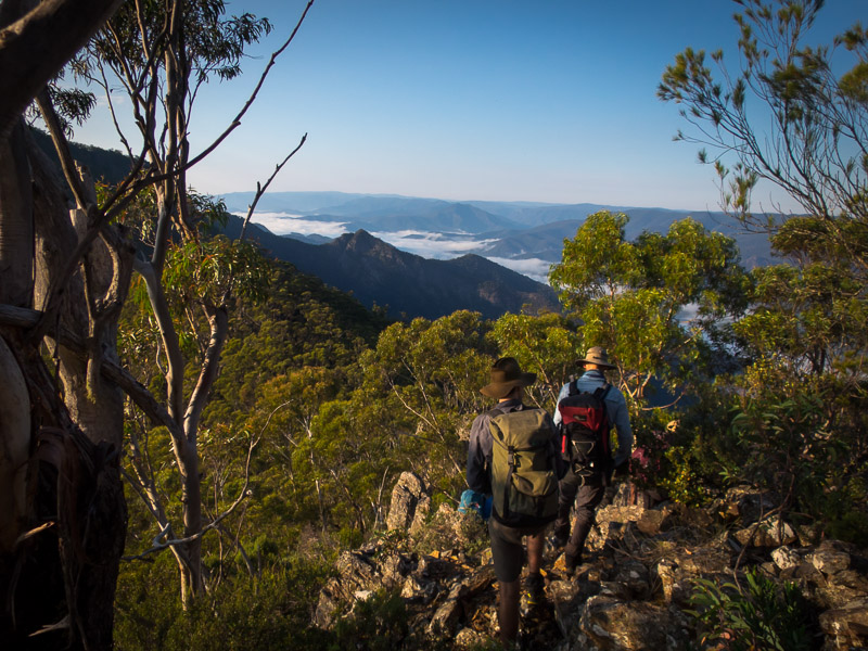
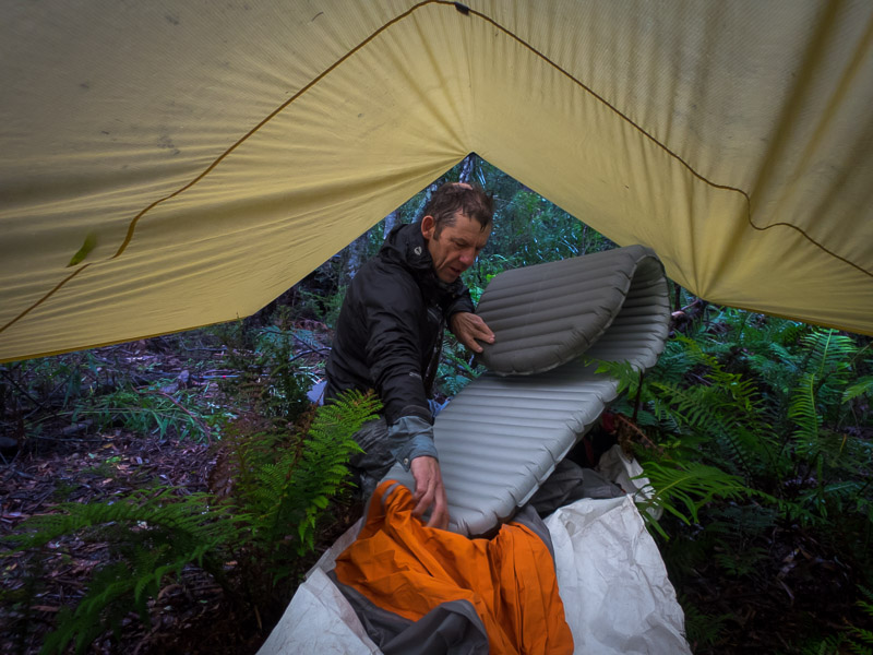
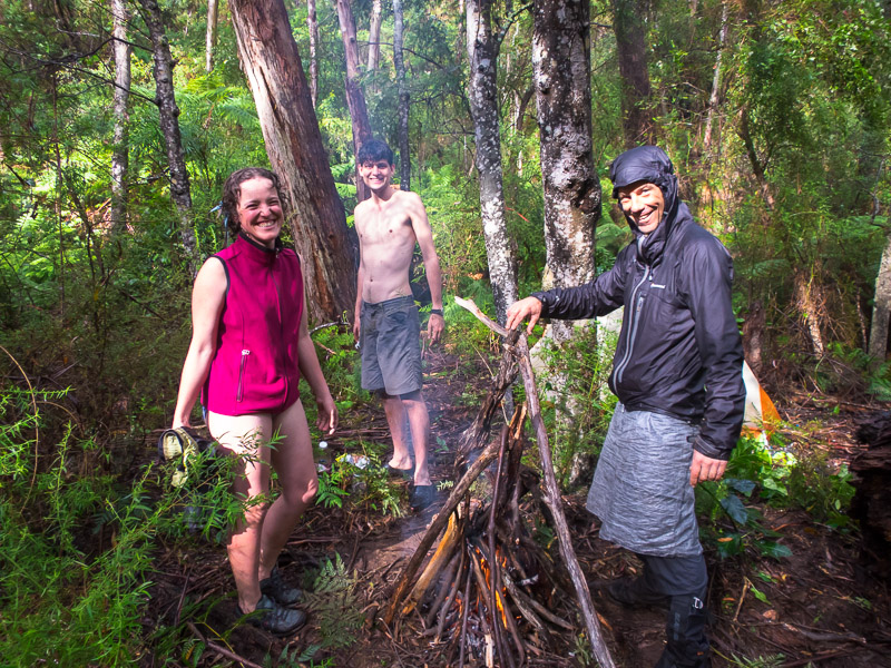
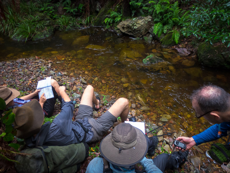
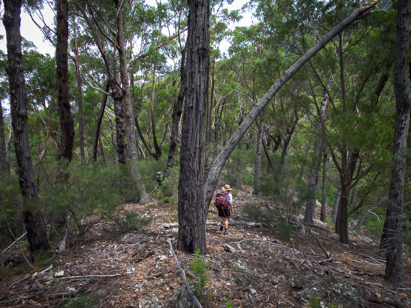
The next morning we decided one last winery was in order on our way out of town so we spent a couple of hours at Campbells which was excellent. Despite Arapiles being a key part in our planning process it became apparent it wasn’t the best destination for us. We’d been climbing regularly in the lead-up and I was excited to see if I would enjoy this visit more than our short-lived one in 2005. However with strained fingers, sore wrist and slipped rib between us we concluded going to Araps would sadly be a waste of time. Instead we headed to the Northern section of the Grampians. We arrived on dark so didn’t get a chance to do any activities the day we arrived.
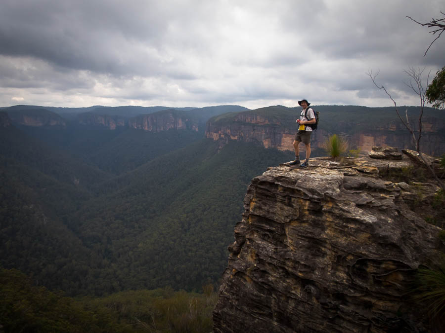
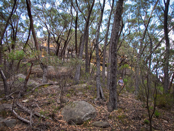
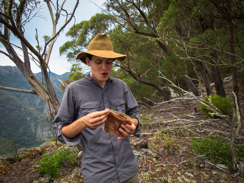
Tom on Mt Stapylton
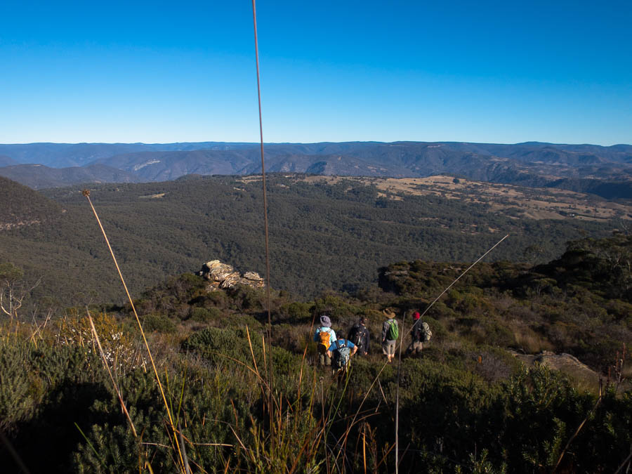
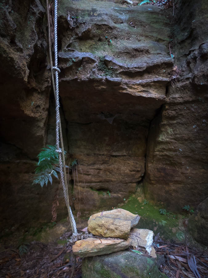
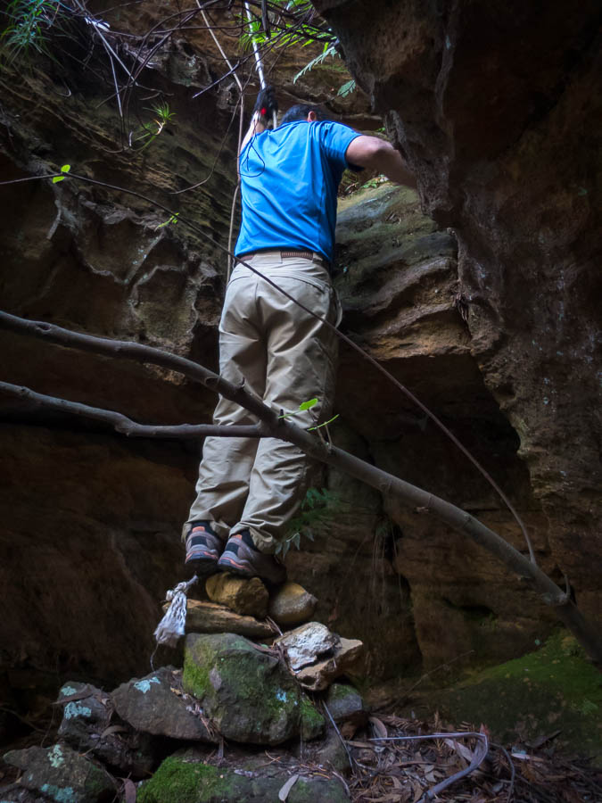
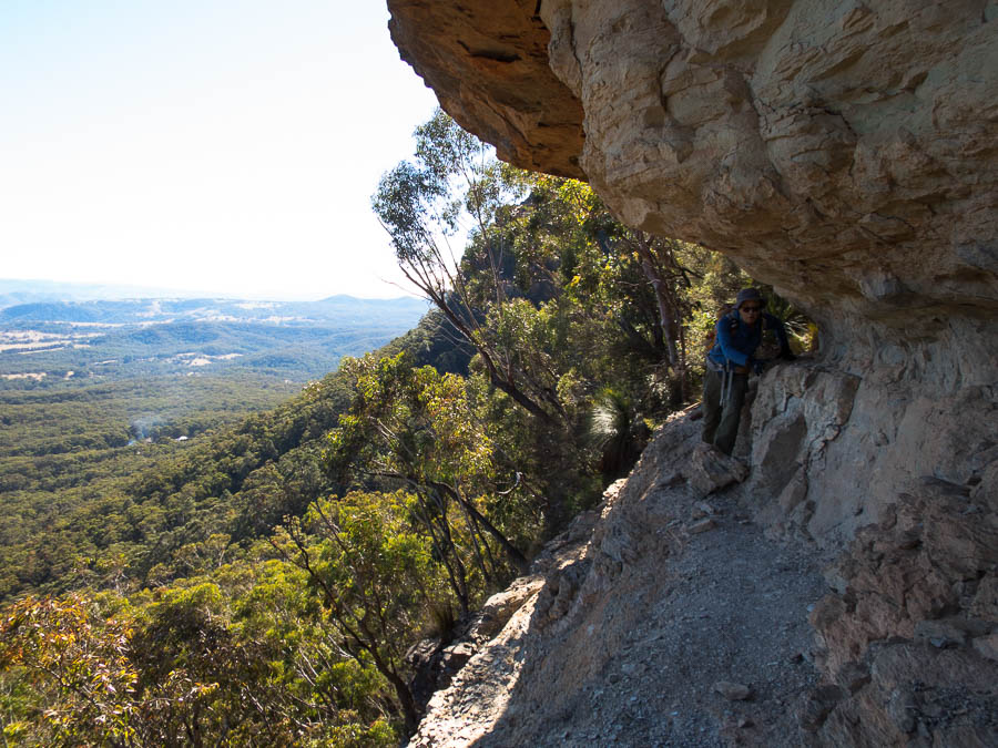
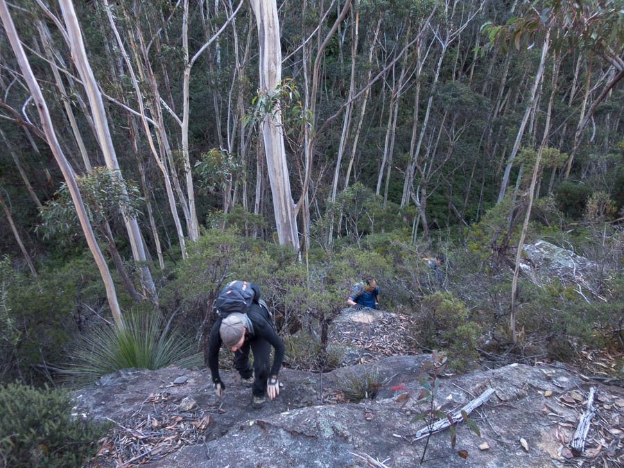
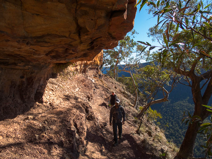
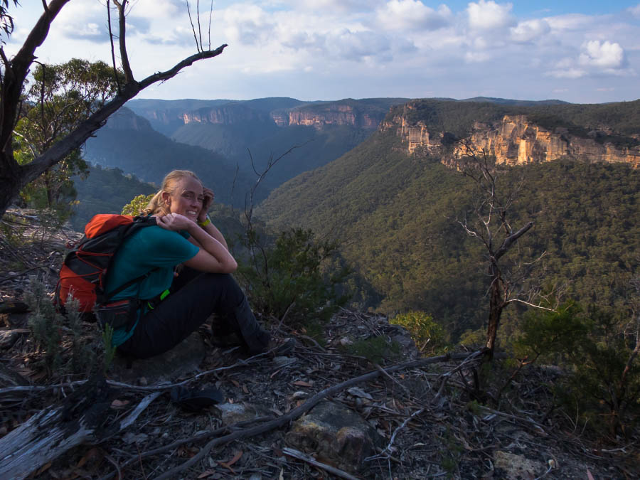
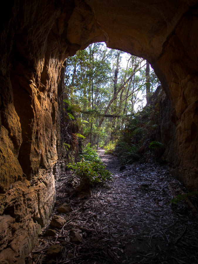
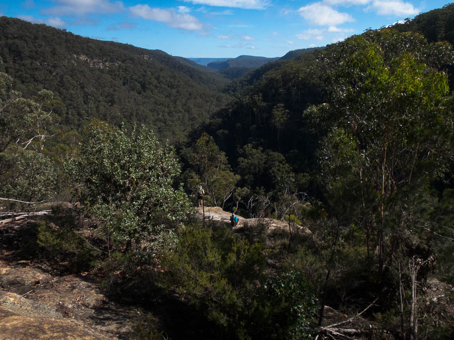
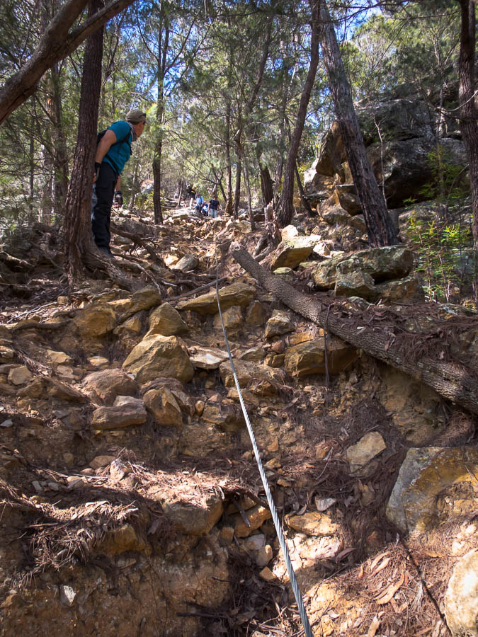
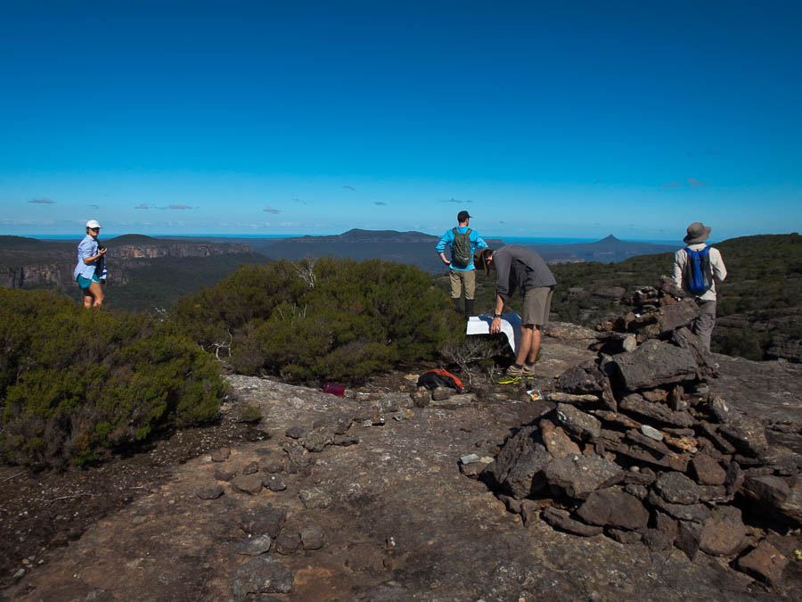
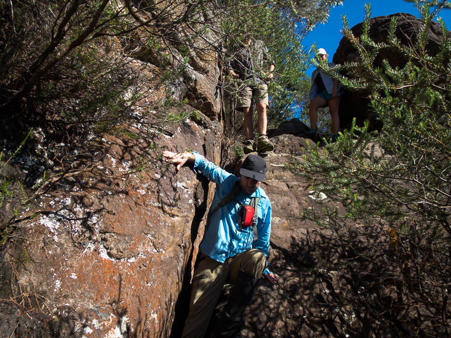
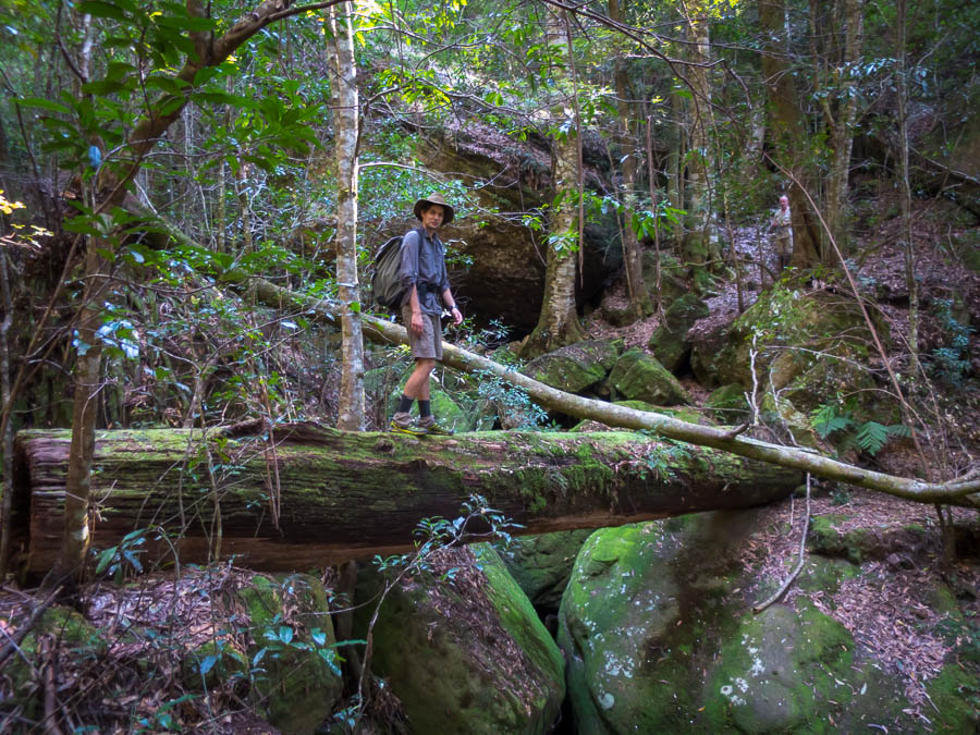
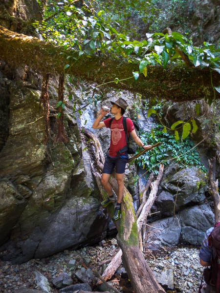
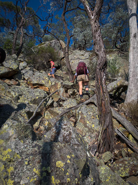
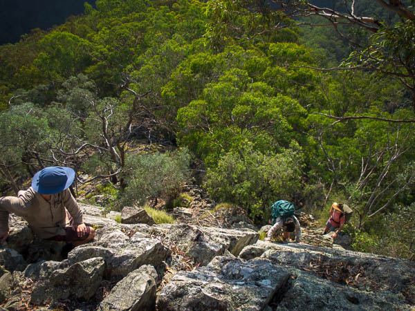
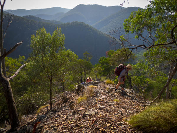
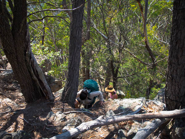
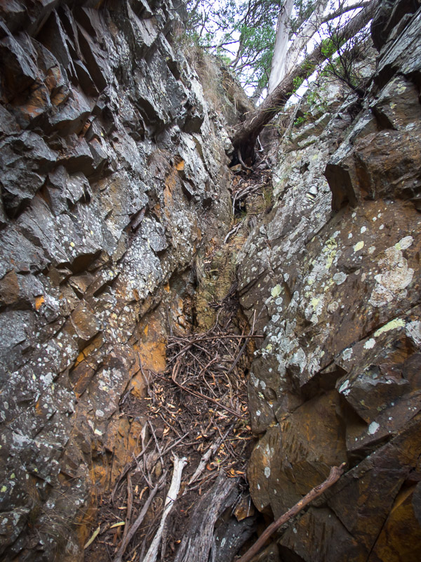
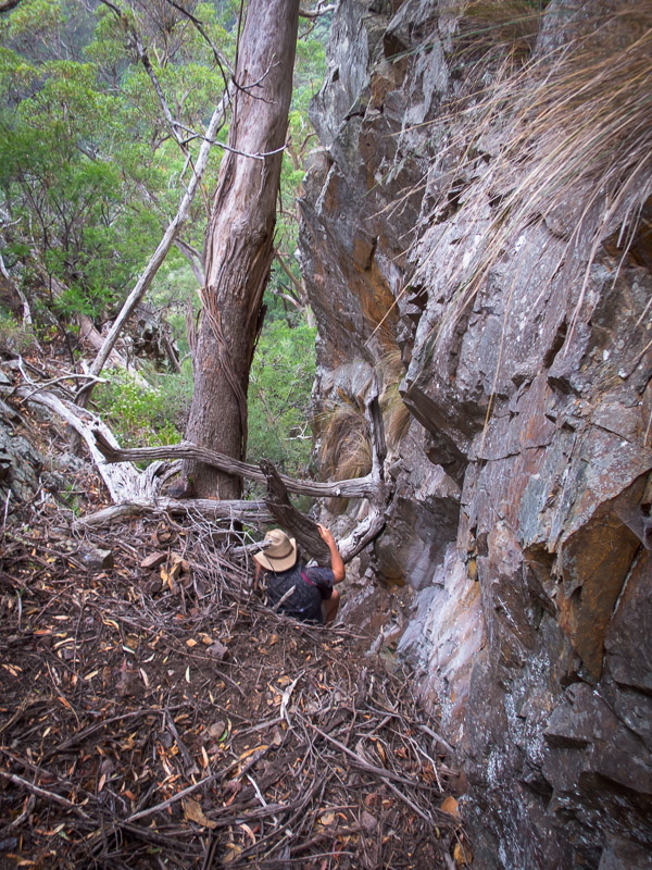
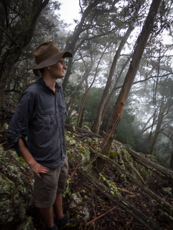
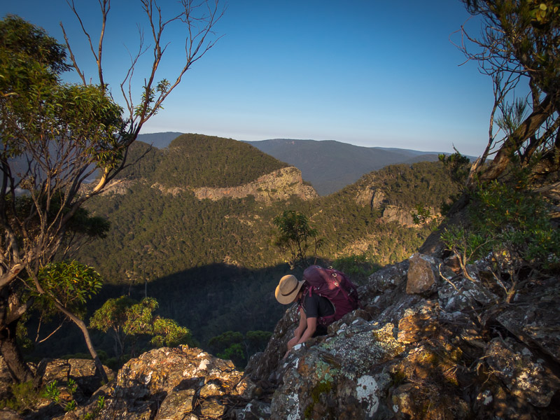
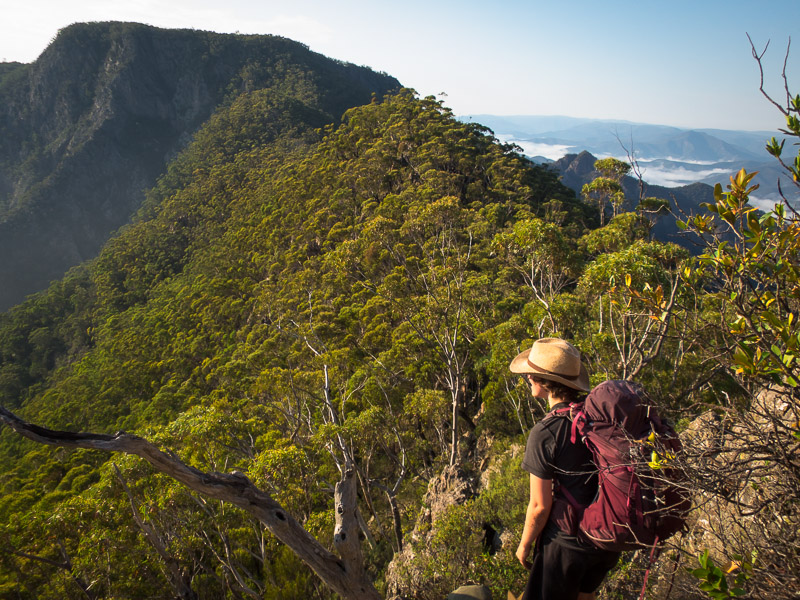
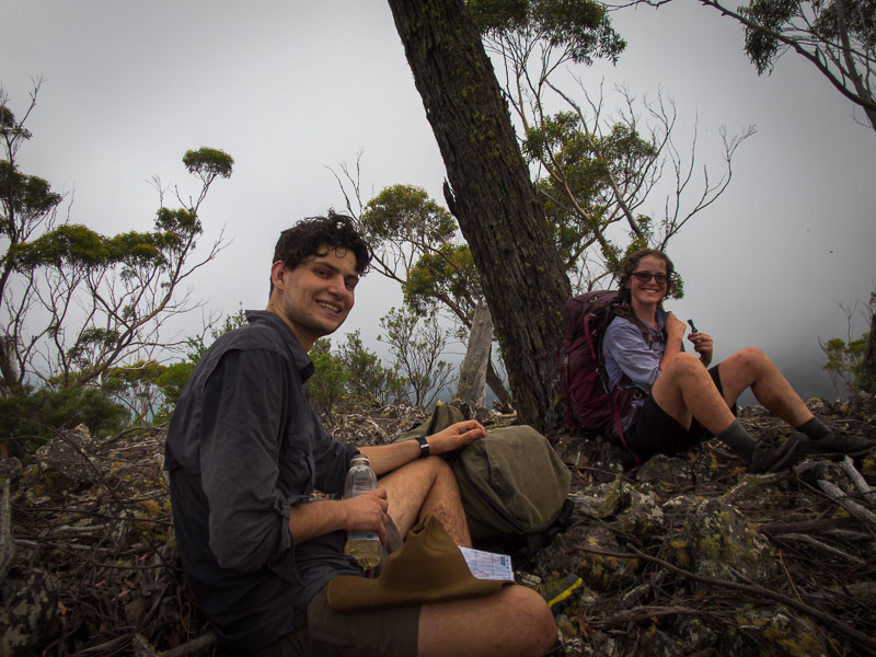
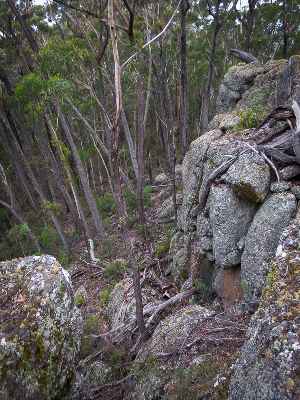
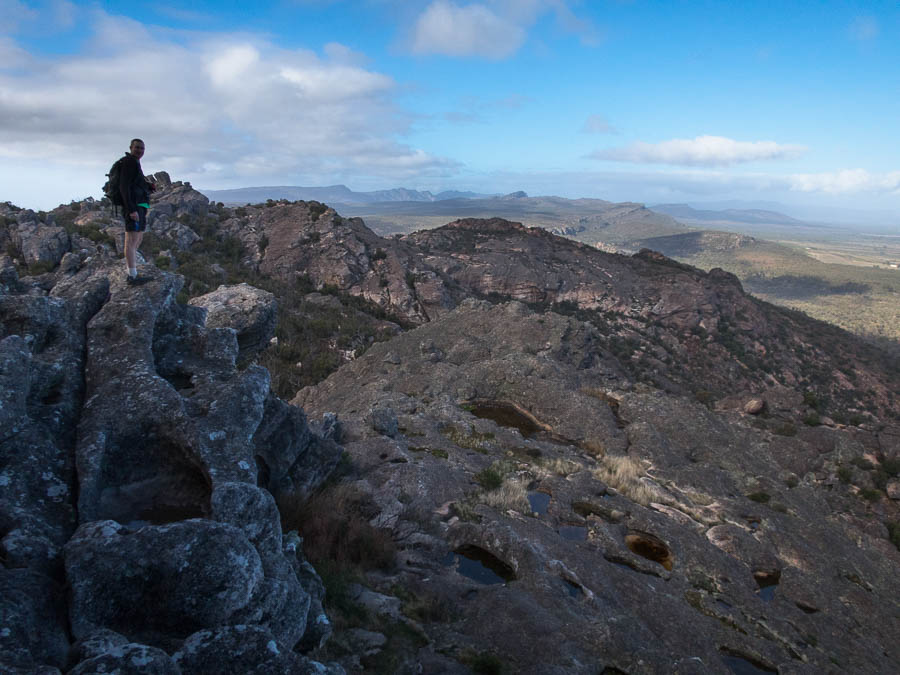
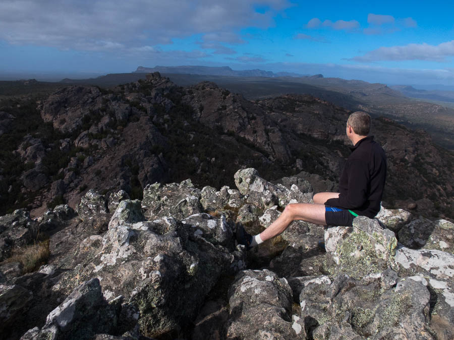
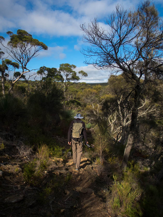
The next day we were able to do a great bushwalk up Mt Stapylton. The signage has said it was a difficult walk and I was questioning the grading, but the final section to the summit did involve route-finding and scrambling.
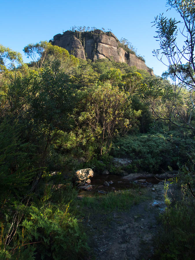
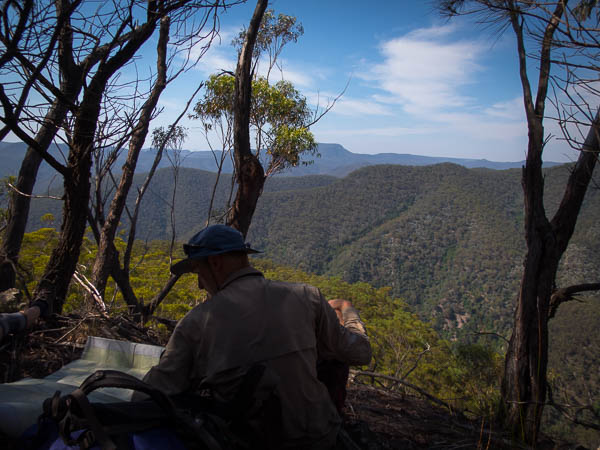
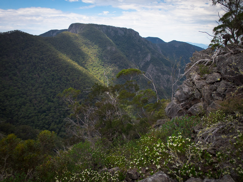
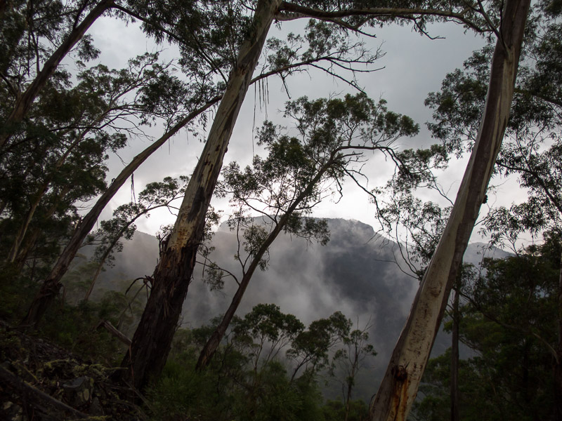
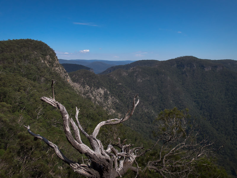
views over The Grampians
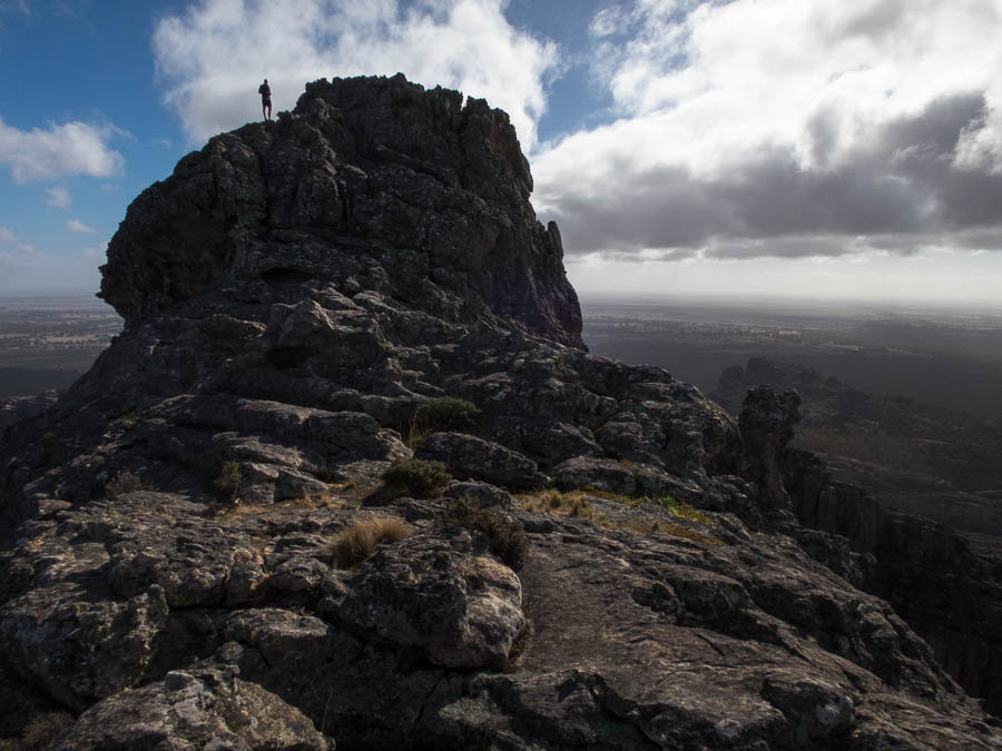
Tom on the summit ridge, Mt Stapylton
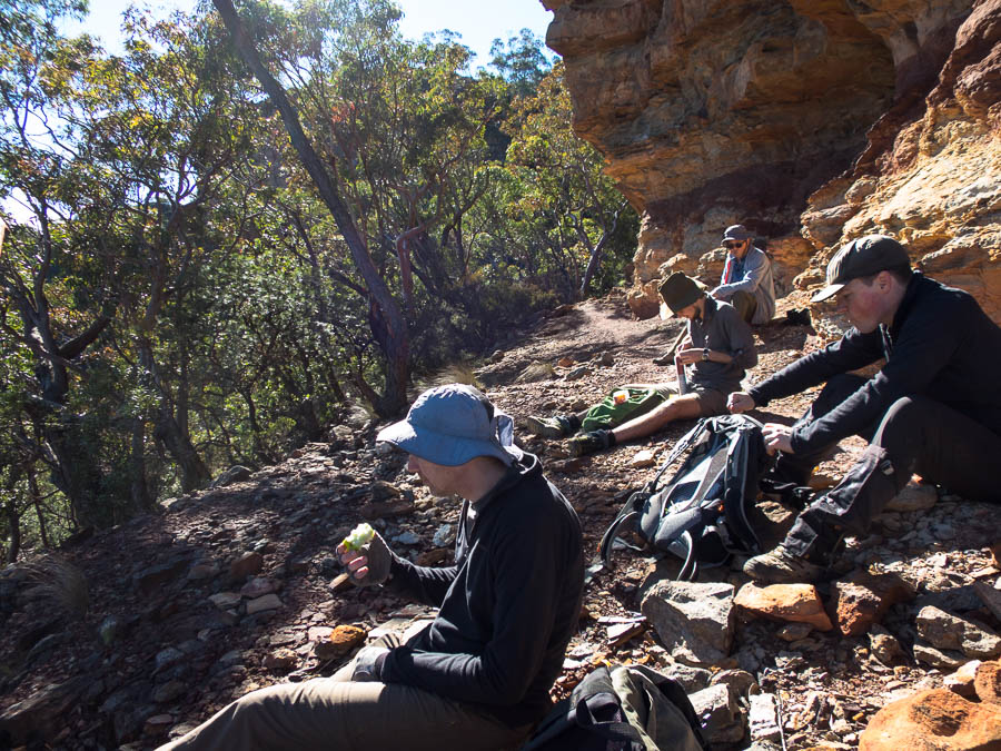
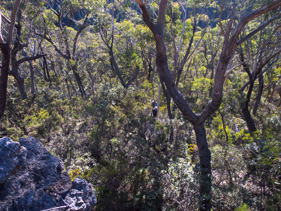
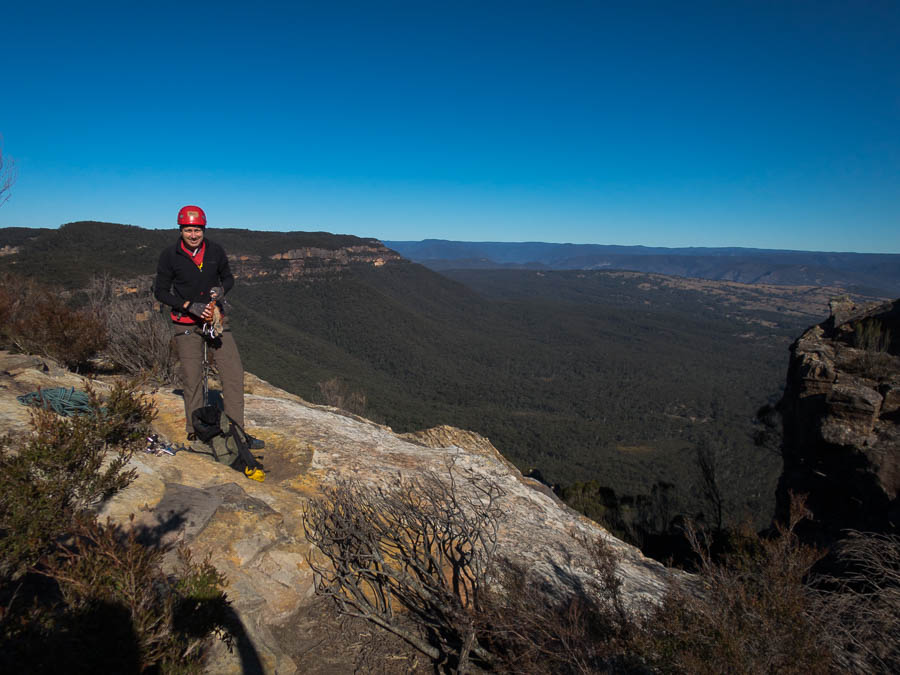
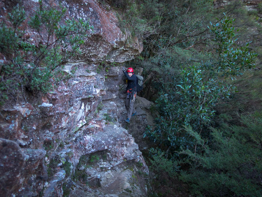
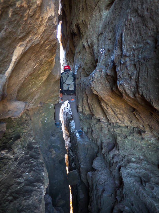
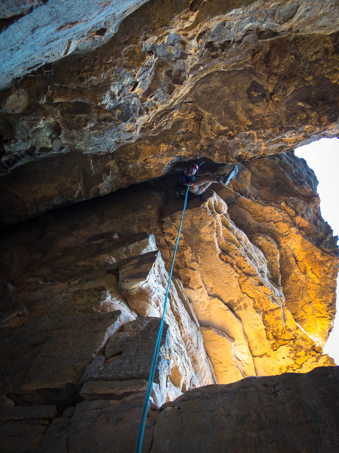
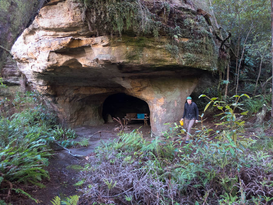
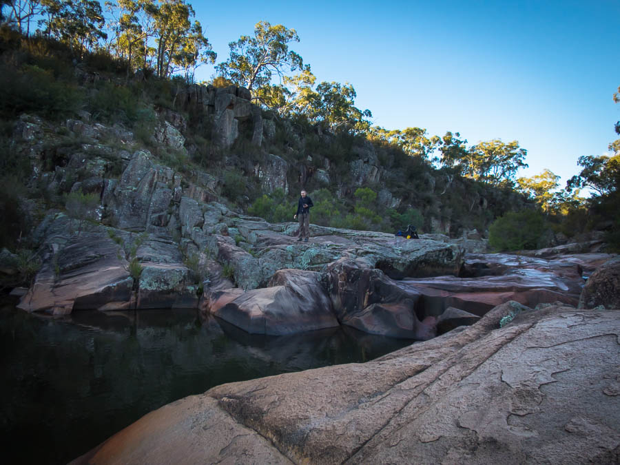
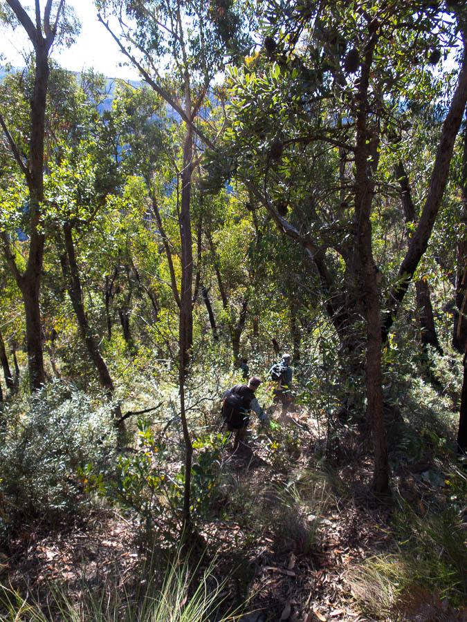
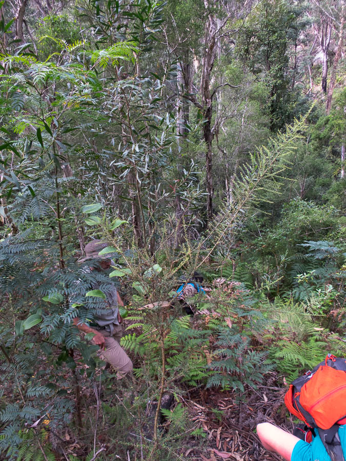
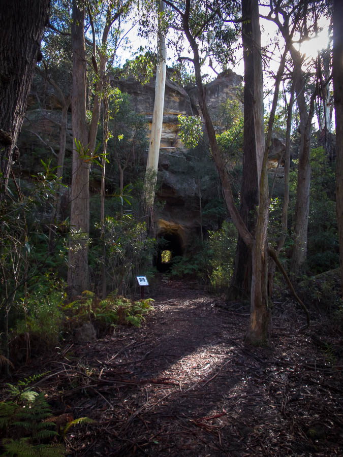
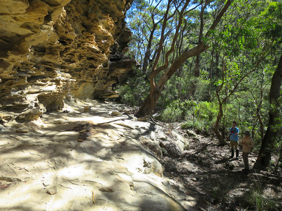
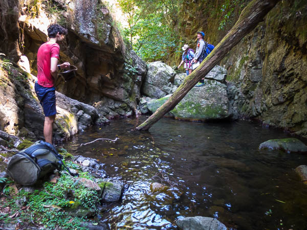
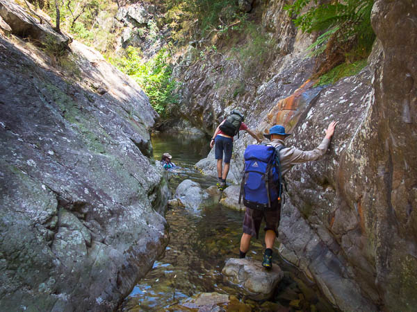
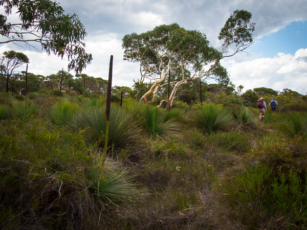
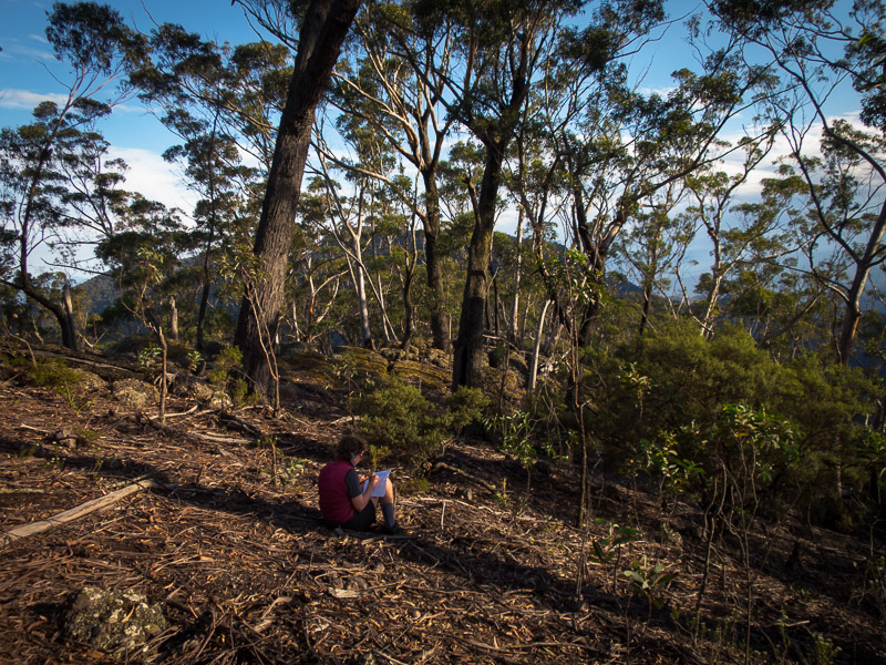
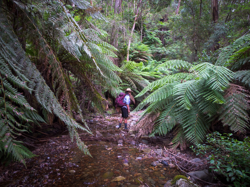
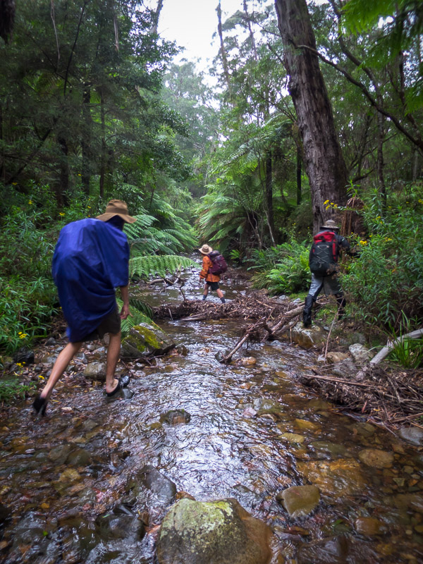
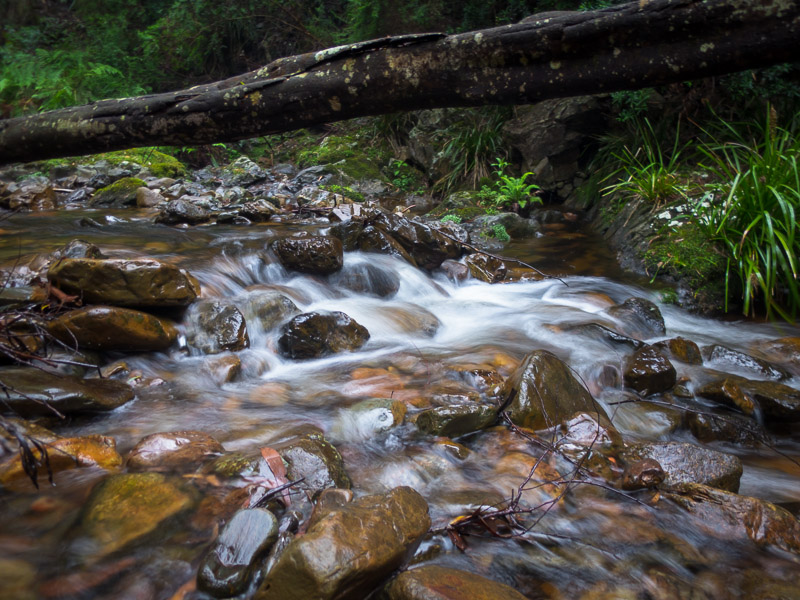
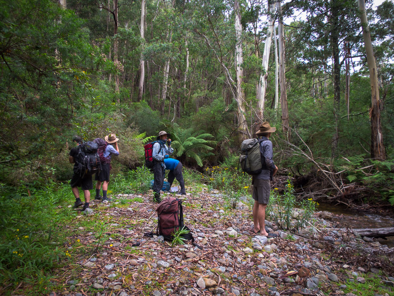
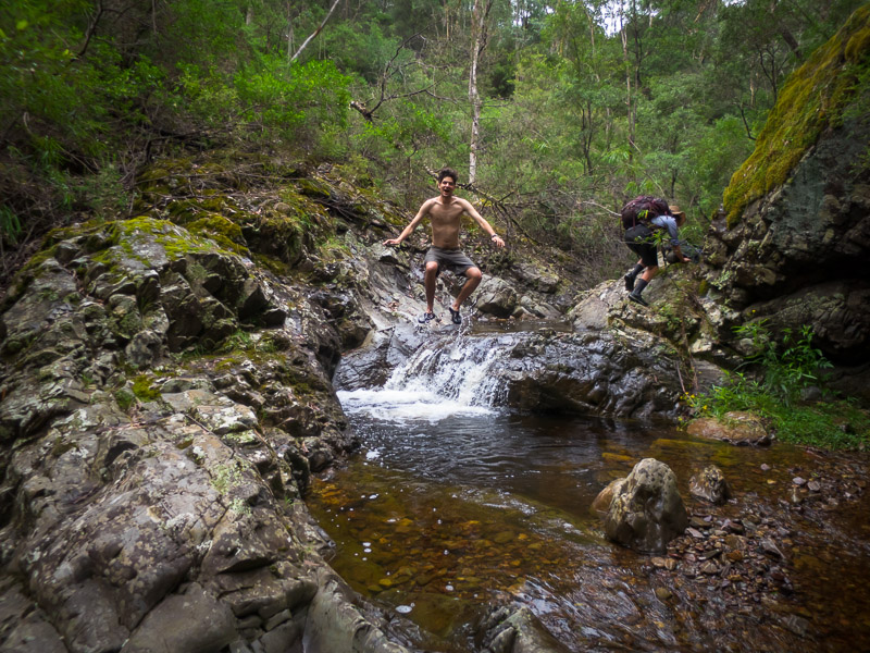
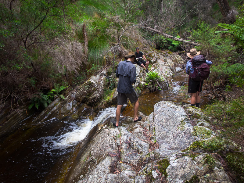
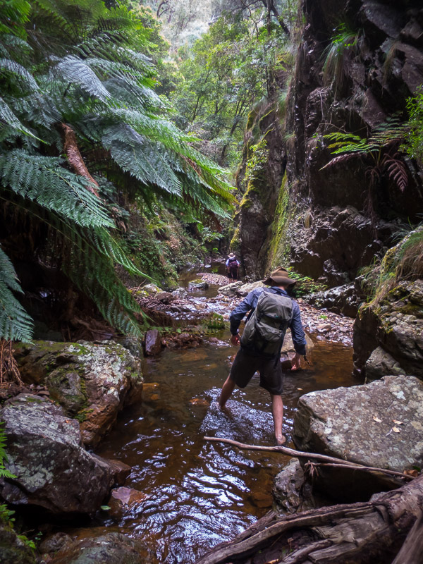
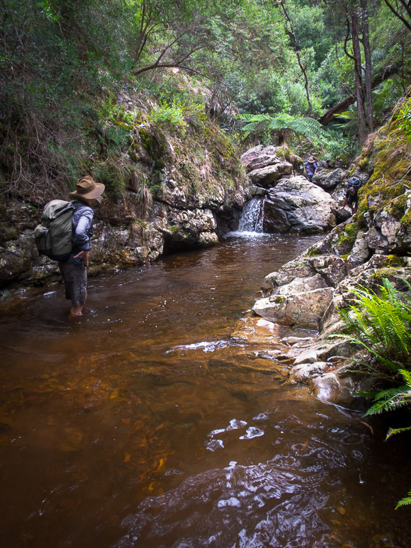
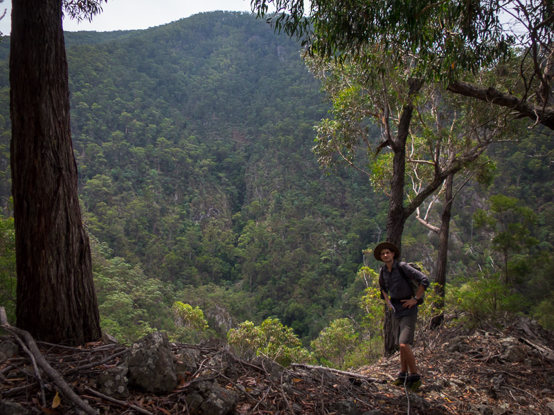
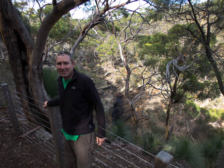
After our jaunt up Mt Stapylton we did a short walk to an Aboriginal art site – Gulgurn Manja for lunch. Tom as always wanted to go exploring, mainly to find out where all the climbers must be from the cars in the car park. And so we found ourselves in Summerday Valley. This would been the perfect crag for us, or even for me to do some top-roping, but mentally I was already on the road to the Coonawarra so we didn’t stick around. Hopefully we’ll return another time as the Northern Grampians looks like somewhere you could potter around for a few days. Soon we were driving through Horsham when the car didn’t feel right. I pulled over only to find that the back tyre was completely flat. Well… if you’re going to get a flat tyre then the middle of Horsham mid-afternoon, almost over the road from a tyre place is probably the best you could ask for.
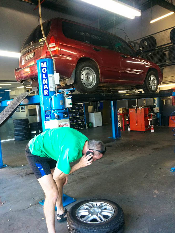
Tom trying to locate the same brand tyre to replace the one we could no longer use
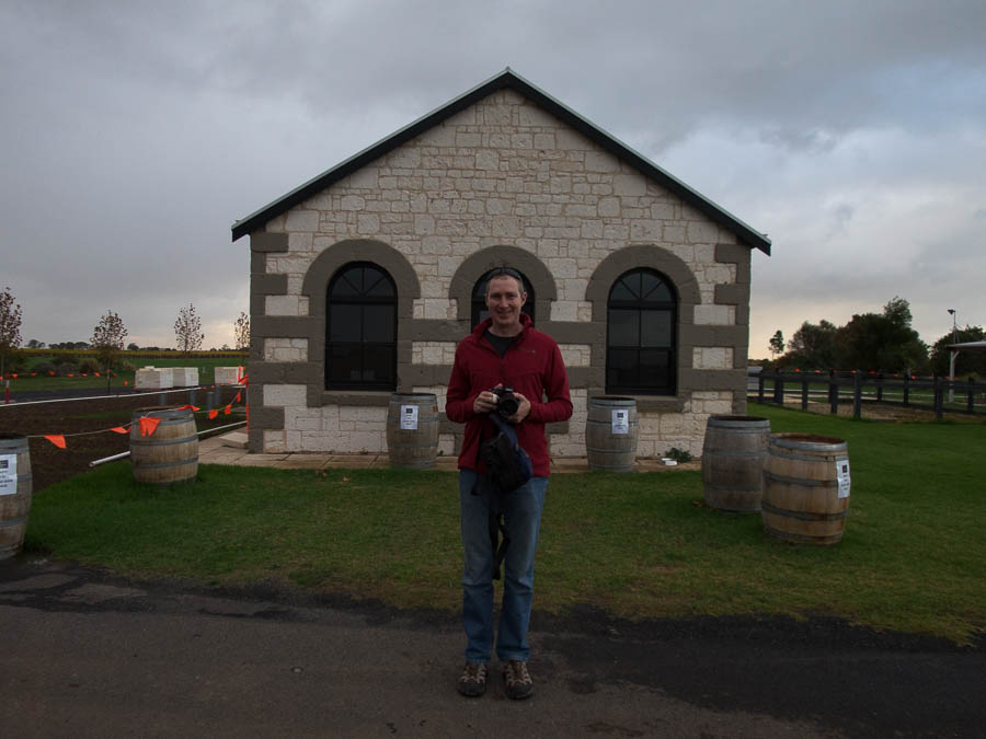
The tyre got fixed but then a small bulge was noticed (I’m sure there was a technical term for it) that was a weakening in the tyre wall and too dangerous to drive on… so we had to buy a new tyre. And that all took longer than it should of because the guys at the repair place couldn’t read my writing so couldn’t call us to tell us what was going on! Eventually we were on the road to Coonawarra resigned to not getting any wine tasting in… until we realised that with the time change from going between Vic and SA made it 4:30pm and not 5pm! Bonus. A quick stop at Rymill was excellent. The weather set in over night with heavy rain and wind making us very glad we weren’t camping!
The next day was all about wine-tasting. We didn’t think we’d get through more than 3 after our Rutherglen experience but the wine lists were generally much shorter, and we weren’t trying 12 different fortifieds at each winery, so we ended up making it to 5: Balnaves, Majella, Wynns, Patrick, Katnook. My favourite was Majella.
Tom outside Katnook Cellar Door
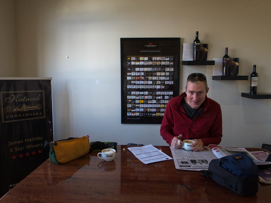
Recovery coffee after 5 winery visits
The wild weather continued as we headed out of town the following day. The car was battered by the wind, with occasional bouts of hail and fairly constant rain. Arguably a good day to mainly be driving? Other than the unpleasant driving conditions…
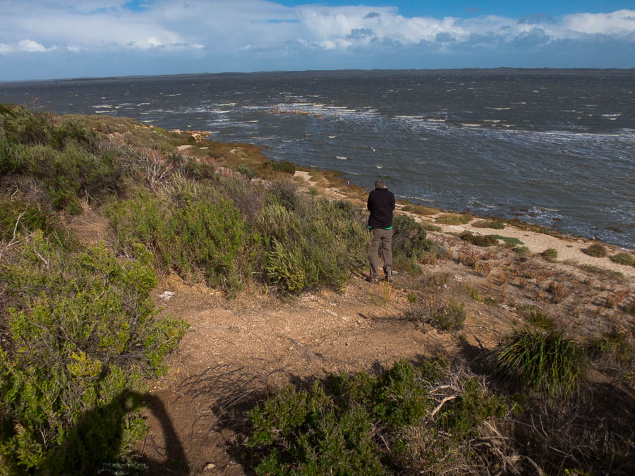
Tom in a rare sunny (but still very windy) section of the Corong
Having missed out on the Primo tasting in Sydney this year Tom insisted we detour via the Primo cellar door in Mclaren Vale. We were cutting it fine arriving not that long before they closed but we managed to get the premium tasting in, as well as their fortified (The Fronti) with an espresso. Fortunately for me Tom was on driving duties through to Adelaide, where we stayed with Nic for the night.
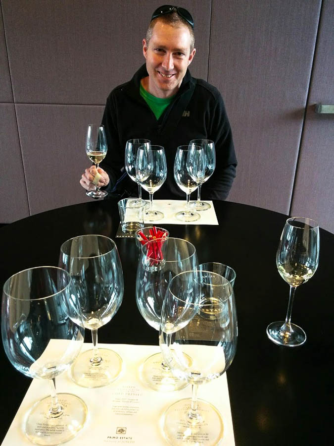
Primo tasting
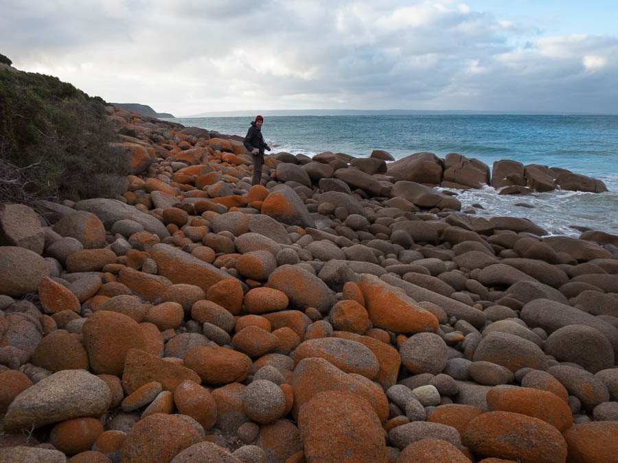
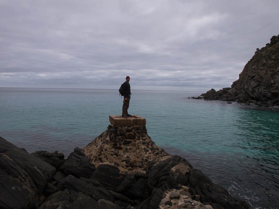
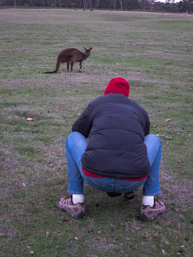
Eventually, more than half way through the trip, we made it to Kangaroo Island. The crossing was a bit choppy but I’m sure a lot better than the previous day! We started our KI adventure with the Ironstone Hill Hike. We saw plenty of Tamar Wallabies but sadly no dolphins as promised by the signboard. After driving around a bit trying to find a nice place to eat lunch we conceded defeat to the weather and headed to the cottage we’d hired for the night at Cape Willoughby.
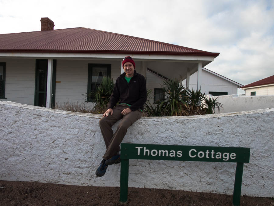
Thomas at Thomas Cottage, Cape Willoughby
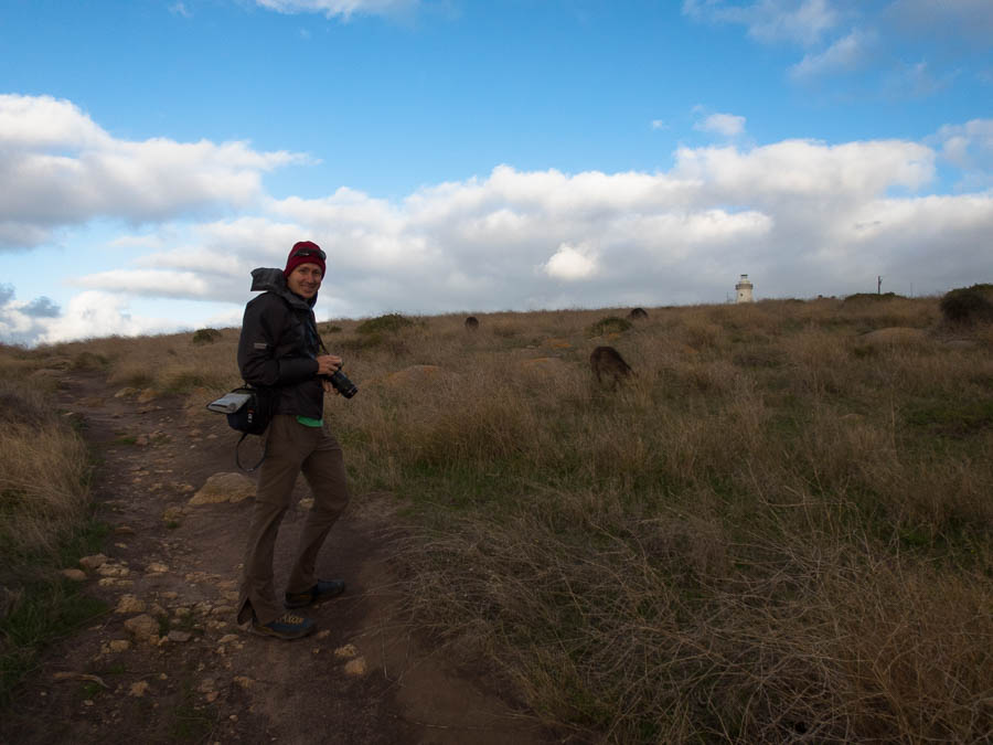
Cape Willougby is the Eastern most tip of Kangaroo Island and it was super windy. We did the Heritage Walk not long before sunset. Saw some Kangaroo Island kangaroos and then I swiftly retreated inside out of the wind.
Kangaroo Island Kangaroos with the Cape Willoughby lighthouse in the background.
Cape Willoughby Lightstation Heritage Walk
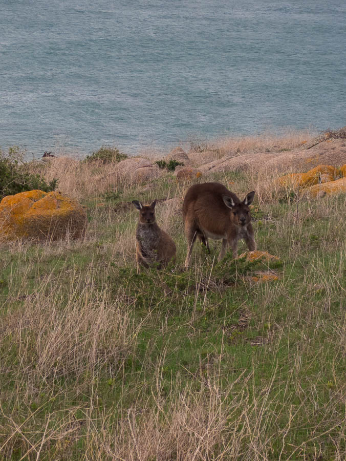
Kangaroo Island kangaroos
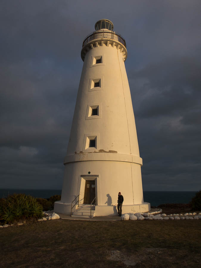
Cape Willoughby Lighthouse
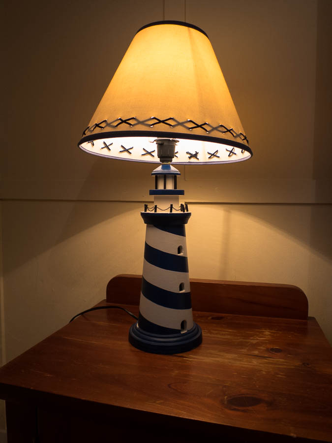
When staying in a lighthouse keepers cottage of course you need themed bed-side lights
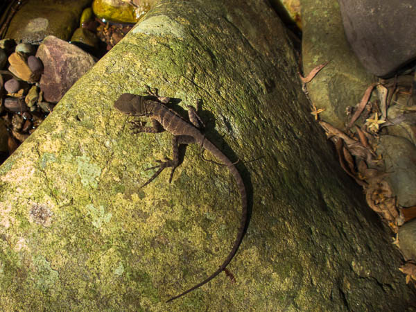
The next day had an action packed agenda so we got an early start. Our first stop was the Bald Hill Hike. This was a massive climb of approximately 25m to a small rise overlooking the Murray Lagoon. There were lots of birds around. We continued some of the way around on the Curley Creek hike before backtracking to the car as we needed to get to our next stop; the Raptor Domain. This had come highly recommended to us and it didn’t disappoint. We attended the bird show and reptile show. Both were very interactive – Tom has some much better photos from his fancy camera. The bird show opened with a magpie that had been taught to pick up rubbish and only got better.
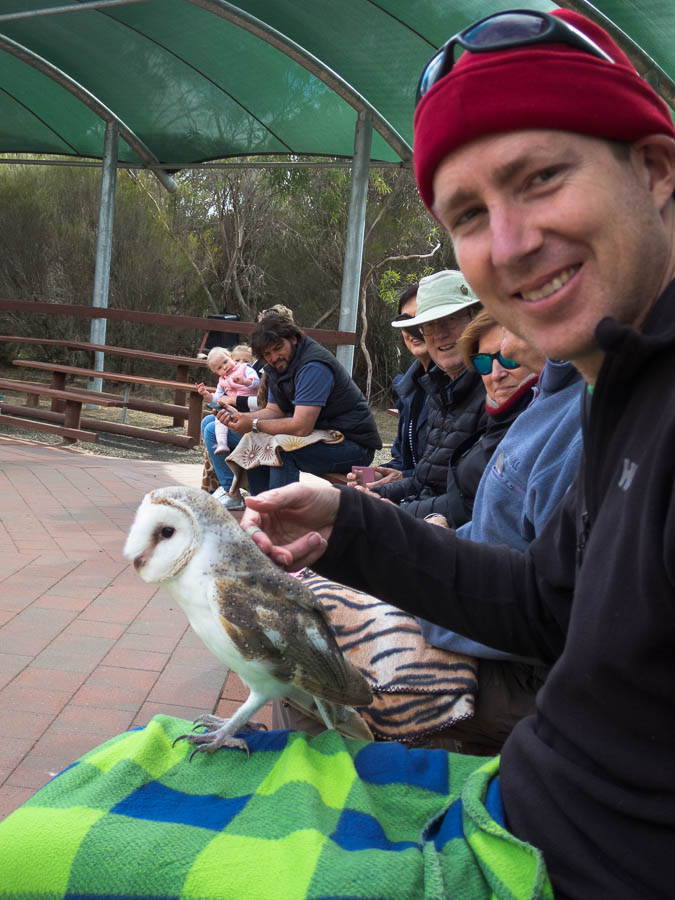
Tom with Casper the friendly owl
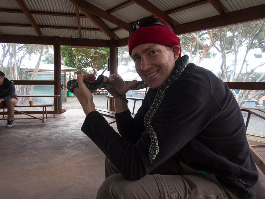
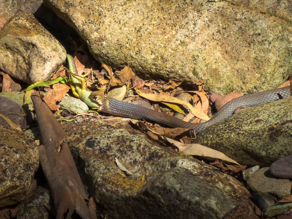
Not sure the snakes had names

But they sure were friendly
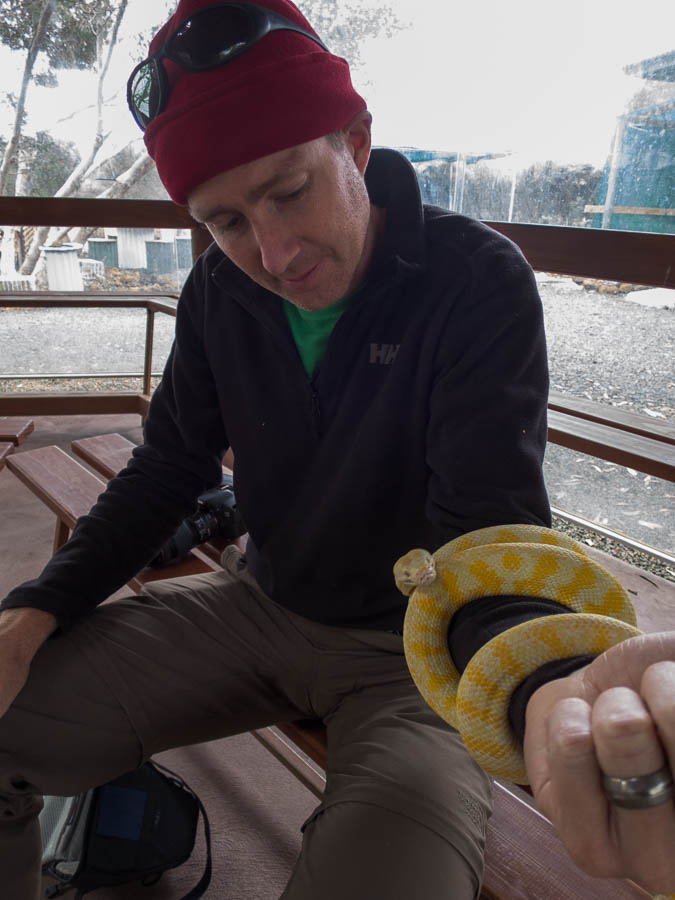
This one was a real squirmer
We hadn’t sated our wildlife appetite for the day so the next stop was Seal Bay. Here we did the guided walk down onto the beach to see the Sea Lions.
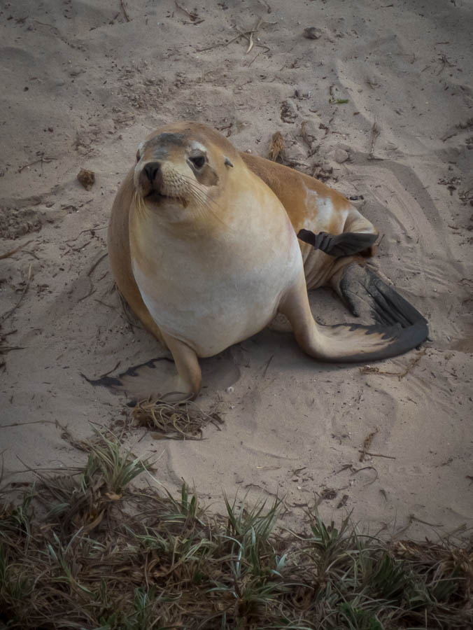
Sea lion
We had toyed with trying to fit in a wine tasting but decided we were out of time and headed for our accommodation at Vivonne Bay instead. Shortly after we arrived one of the other guests spotted a koala in a tree in the car park which was pretty good. But then the next morning there was a koala in a tree basically right next to the buildings. Tom was fortunate to see this guy out of the tree, having a drink and then wandering off to wherever koalas go…

Doing what koalas do best
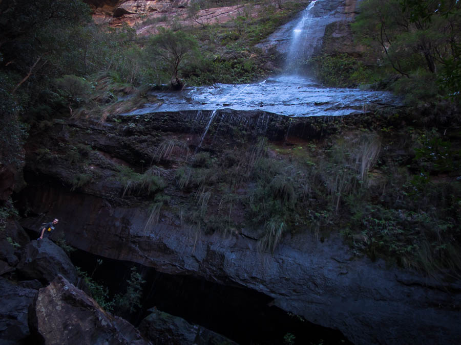
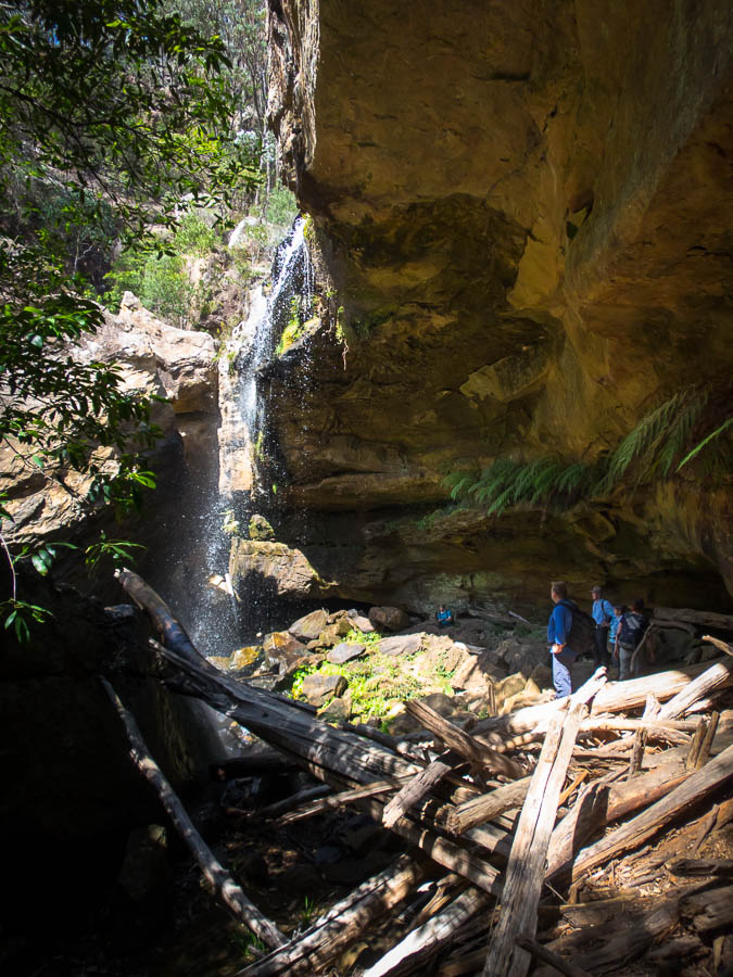
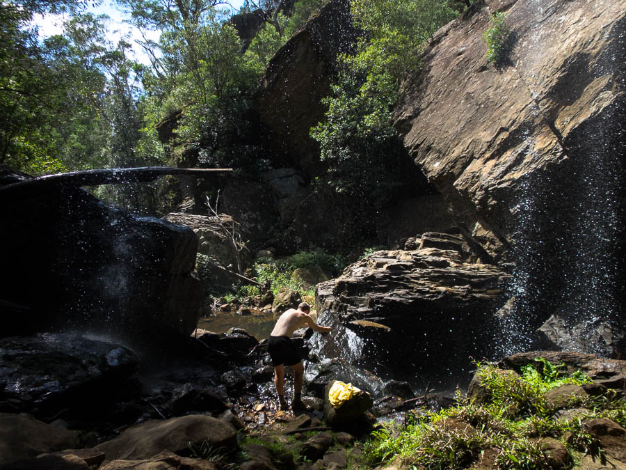
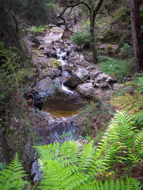
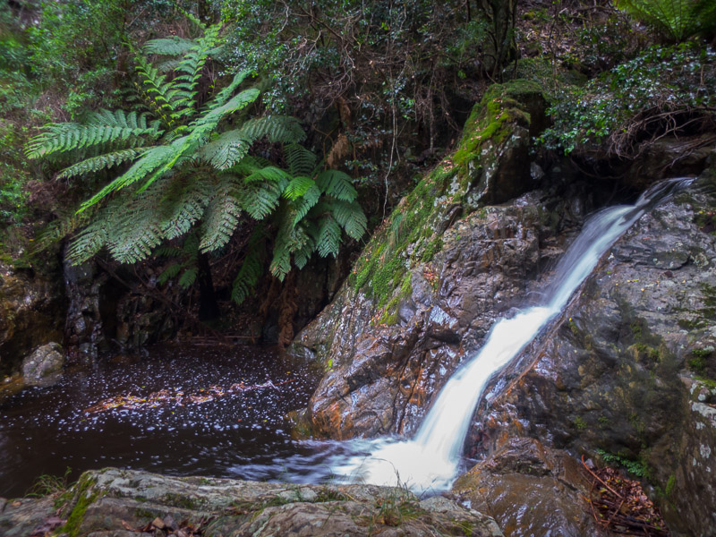
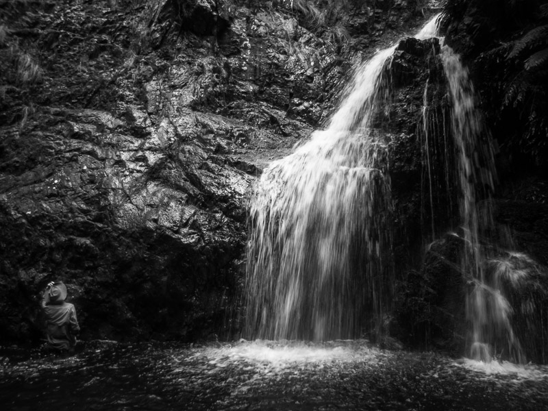
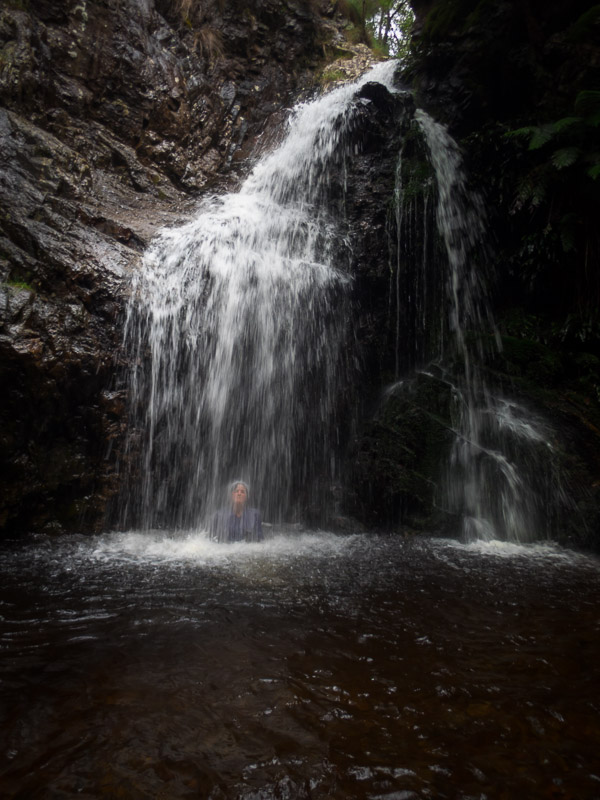
Kangaroo Island gets most of its rain over winter. So when there was a “Winter Waterfall Walk” I figured the waterfall wasn’t likely to be giving us much action in late autumn. Despite this our first activity of the morning was this walk. We saw a couple of the rare Glossy Black cockatoos as well as plenty of other birds and of course Tamar Wallabies.
Tom and the winter waterfall
What got us really excited was that the wind has stopped and there was sunshine!
Winter waterfall walk with blue sky!
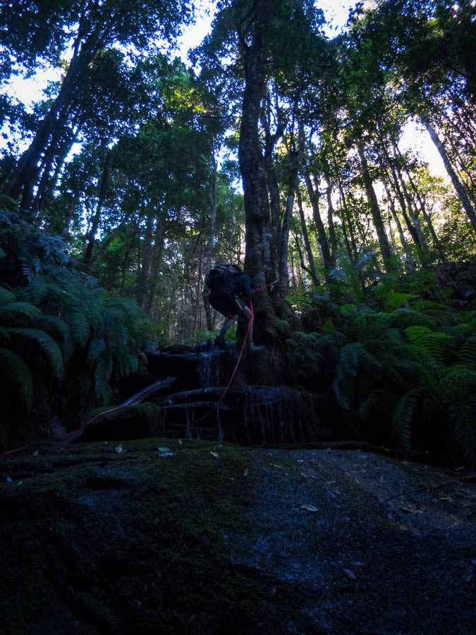
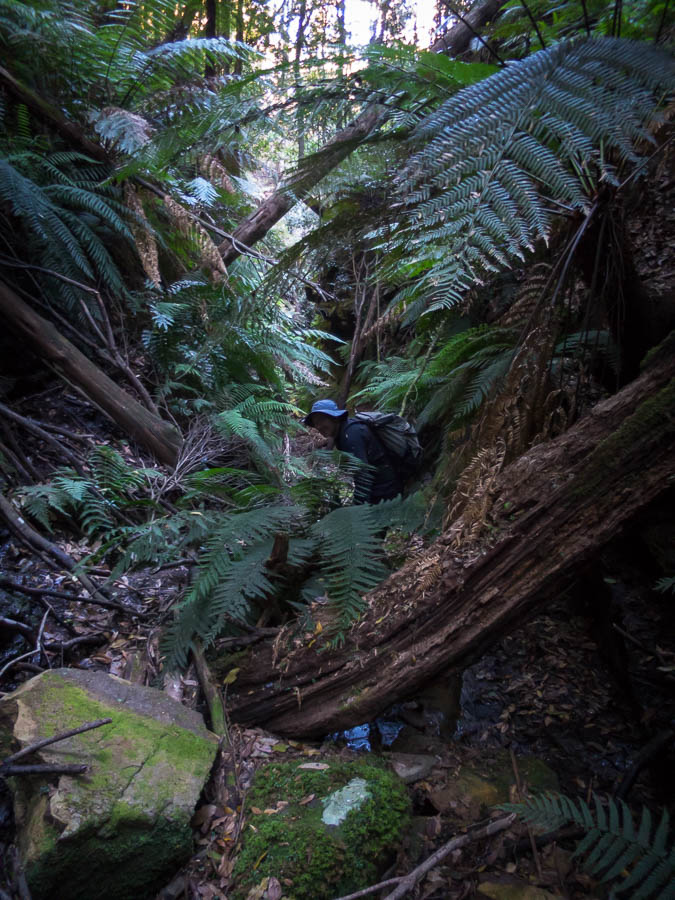
After checking into our cottage at the Cape Borda Lighthouse we headed out on what seemed to be one of the more challenging bushwalk on KI; the Ravine des Casoars. Or the Valley of the Dwarf Emus.. or something like that. Much easier to talk about dwarf emus – which were extinct on KI before permanent white settlement apparently. This was a pleasant walk. Tom got quite excited as there was a Cape Barren Goose on the beach, but it flew off before he got any decent photos.

Ravine des Casoars hike
Not content with two walks under our belt, we did the Clifftop hike just before sunset. We just couldn’t get enough of the pleasant weather!
Clifftop walk, Cape Borda
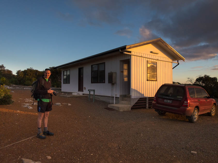
Hartley Hut, Cape Borda
It was a lovely sunset, and we had views from the kitchen window.
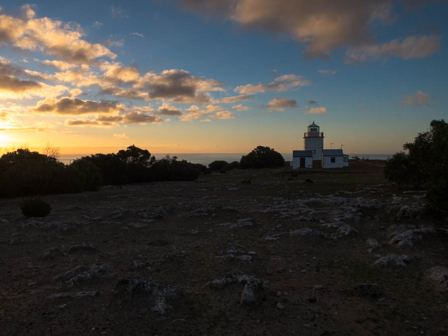
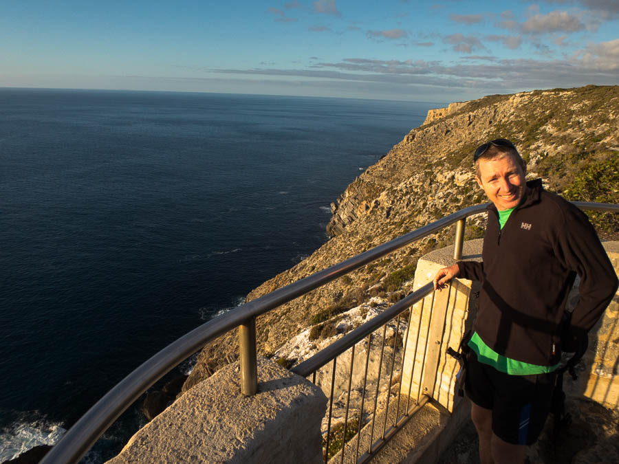
Sunset and Cape Borda lighthouse
The highlight of the trip was playing Scrabble that night. I don’t play Scrabble very often because I’m not very good at it. I opened with OVARIES, and later on Tom very conveniently put down FOYER allowing me to create BEAUTIFY. I’m not sure I’ve ever cleared my rack before so to do it twice was exciting. The cherry on the cake was that I beat Tom 🙂
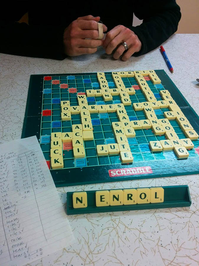
The scrabble board
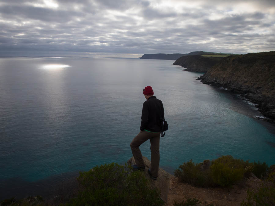
The next day we were back to the grey weather we were used to, but at least there was no wind. We started off visiting Scotts Cove Lookout.
Beam me up Scotty?
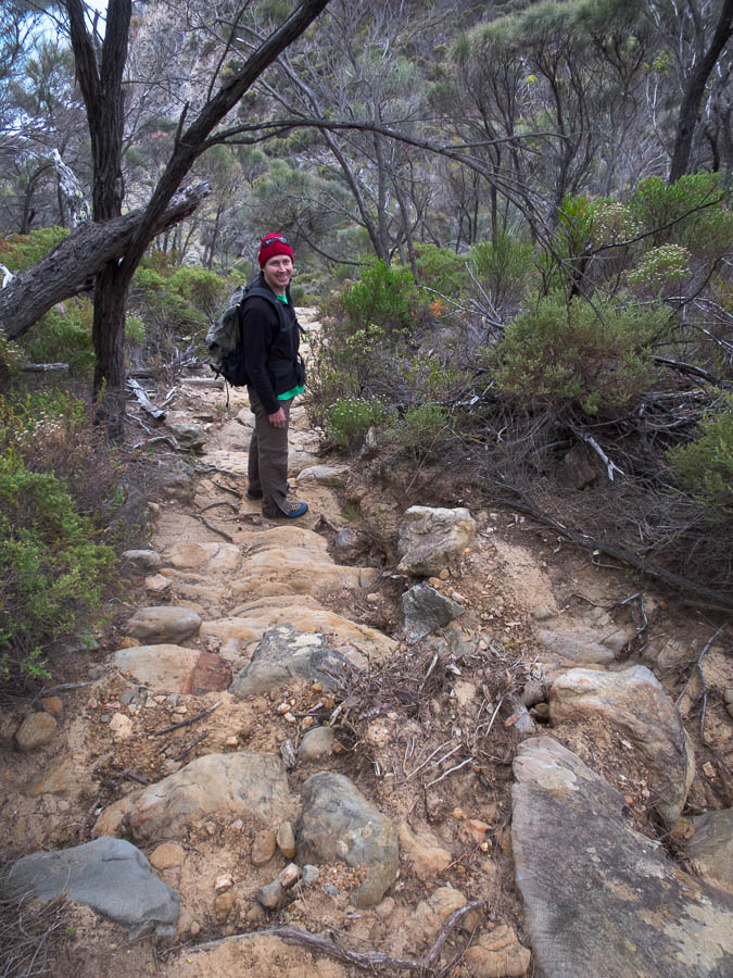
Then we did the Harveys Return Hike – definitely the biggest hill of the island.
Track down to Harveys Return
The old crane stand for unloading lighthouse keeper supplies
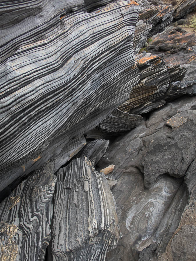
zebra schist
The road through to the Flinders Chase National Park office was the worst of the dirt roads we drove on, with a lose surface and lots of corrugations. After getting our Parks Pass we headed out to Remarkable Rocks which were indeed remarkable.

Num, num, num
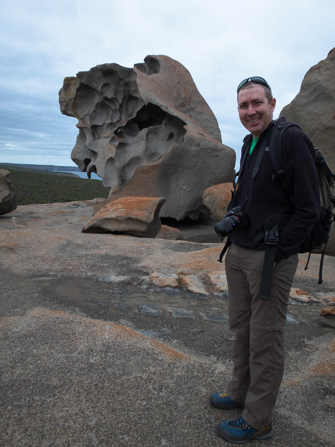
Remarkable Rocks
The Admirals Arch Walk next to the Cape du Coedic lighthouse is next to the a Long-nosed Fur Seal colony. The boardwalk around to the Admirals Arch got us quite close to the seal pups (see Tom’s photos). They were good fun to watch. We spent two hours watching them before heading to our accommodation at May’s Cottage (our third heritage accom). We pulled into the driveway for May’s Cottage and there was a Cape Barren Goose so Tom thrust the camera at me and I’m trying to take photos from the passenger seat. It wanders off so we give up and drive in. Only to find there are hundreds of them on the lawn outside the cottage… so that lost Tom for the rest of the afternoon.
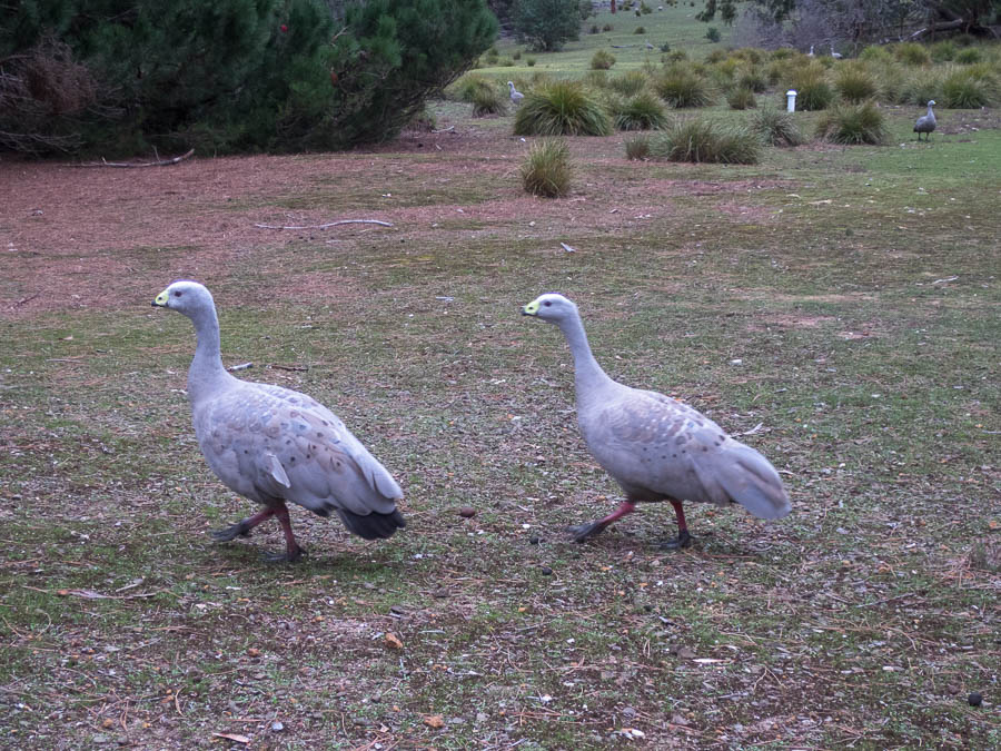
Two of the many Cape Barren Geese outside May’s Cottage
Heritage accom – from when men were shorter!
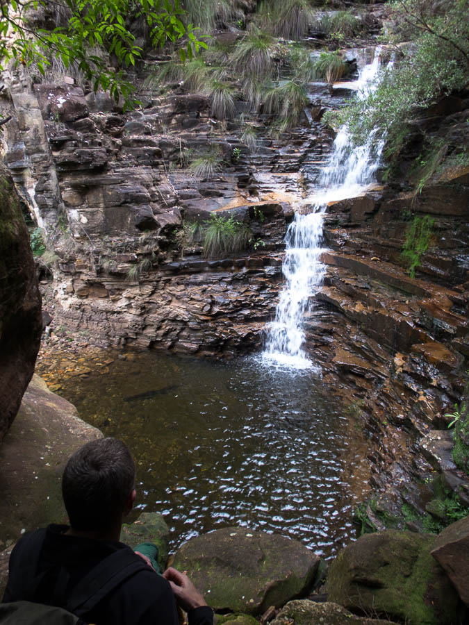
I probably should have pulled Tom away from the geese earlier as the sun was already setting when we set off on the Platypus Waterholes Walk. Despite being dusk and there not being a lot of water in most of the waterholes we didn’t see any platypus. It was well and truly dark by the time we made our way back to the cottage. Fortunately we had taken our torches but the myriad geese, kangaroos and wallabies that were scattered across our route were less than impressed with being disturbed!
The next morning we did a repeat of the Platypus Waterholes walk – this time not marching to beat the dark. Sadly the only platypus we saw was the one in the picture below.
The closest we got
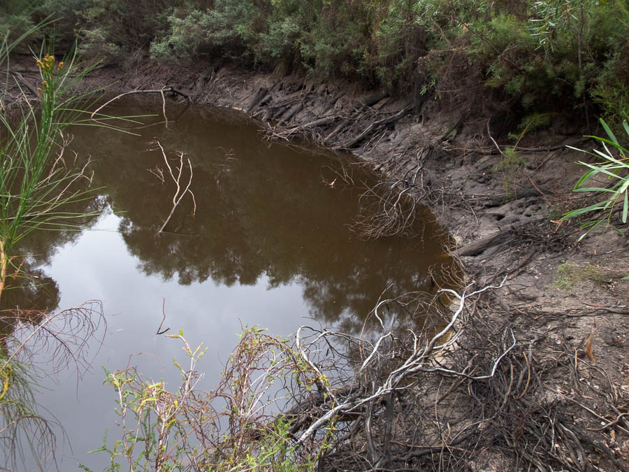
Platypus waterhole. Come out, come out, wherever you are
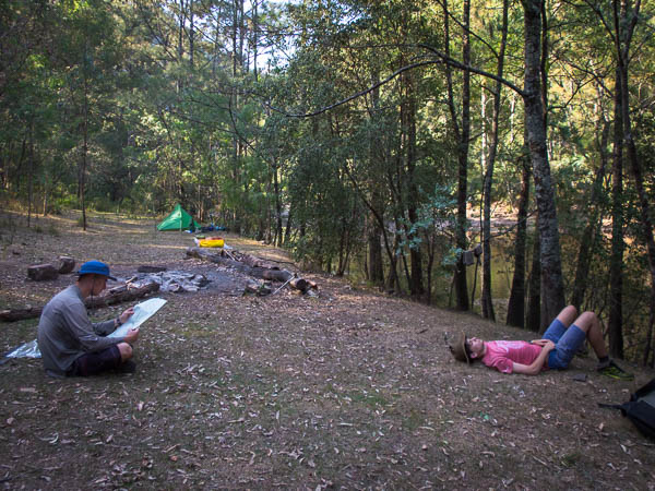
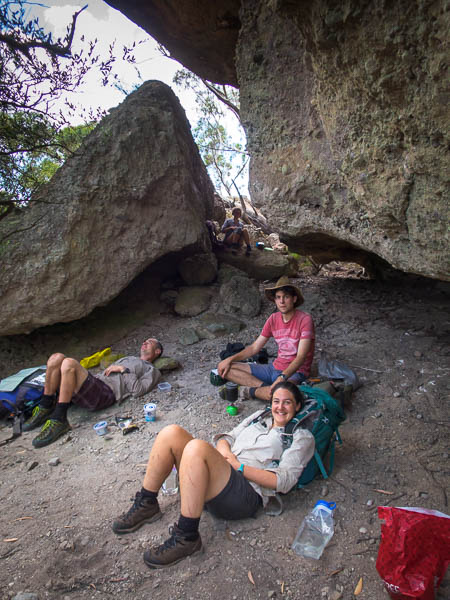
We spent the last couple of days eating, drinking and relaxing as a result of our charity auction accommodation.
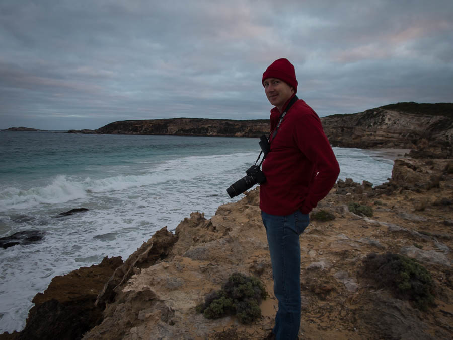
The photographer in action
Coastal walking
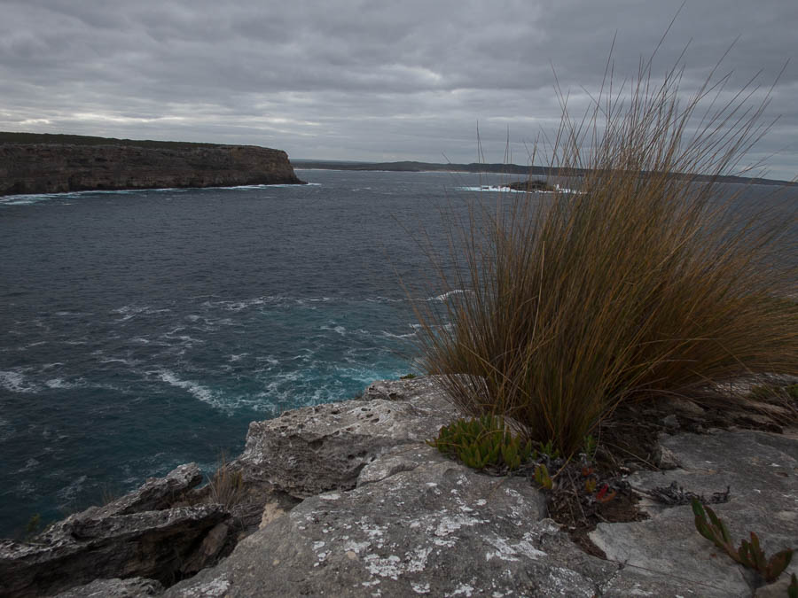
Coastal walking – Cape Younghusband
We did manage to do a section of the Kangaroo Island Wilderness Trail between Cape Younghusband and Hanson Bay.
A different sort of KI kangaroo
We snuck in a visit to The Islander tasting room before our ferry. The return trip was much calmer than the way over which was nice.
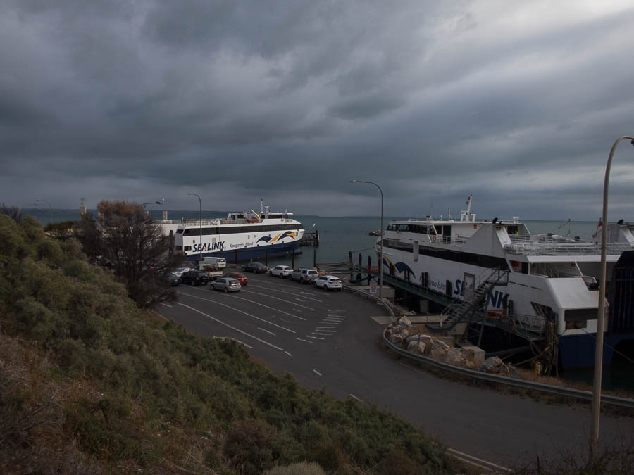
Back on the mainland
We had a great time catching up with Nic & Craig in Adelaide that night. The rain was coming down when we left the next day, but stopped not far out of town. We had morning tea in Murray Bridge, lunch in Renmark, before eventually making our way to Mildura where we’d been lucky enough to score free accommodation (thanks Chris’ Mum!).
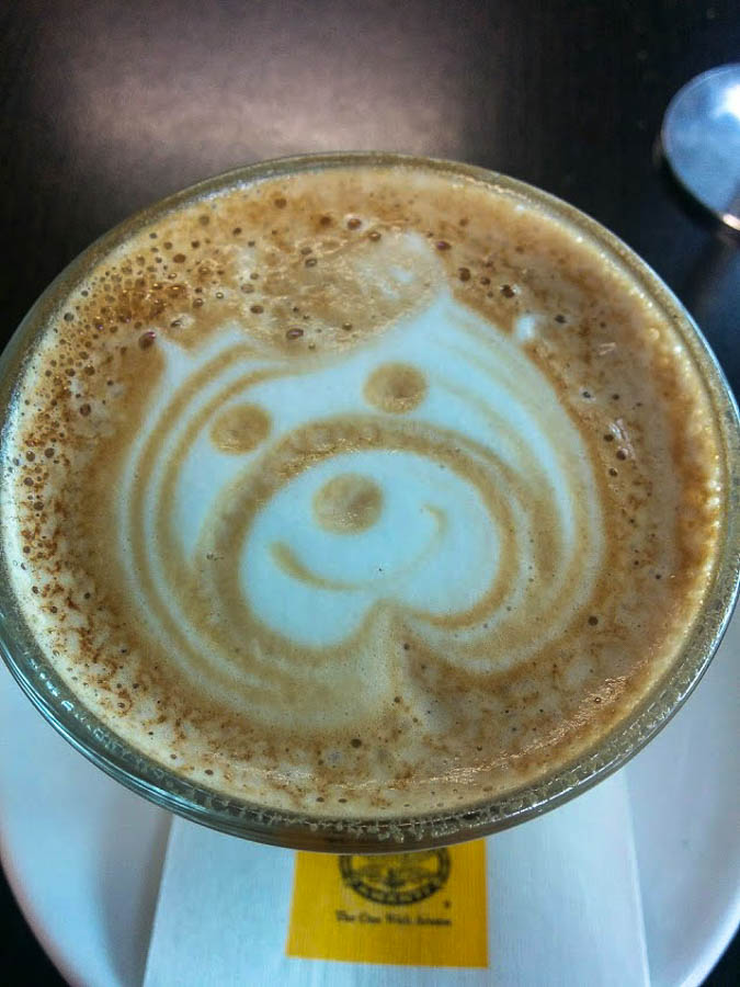
Latte art in Murray Bridge
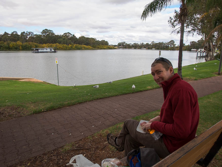
Lunch on the Murray in Renmark. Before Tom was surrounded by seagulls and a duck.
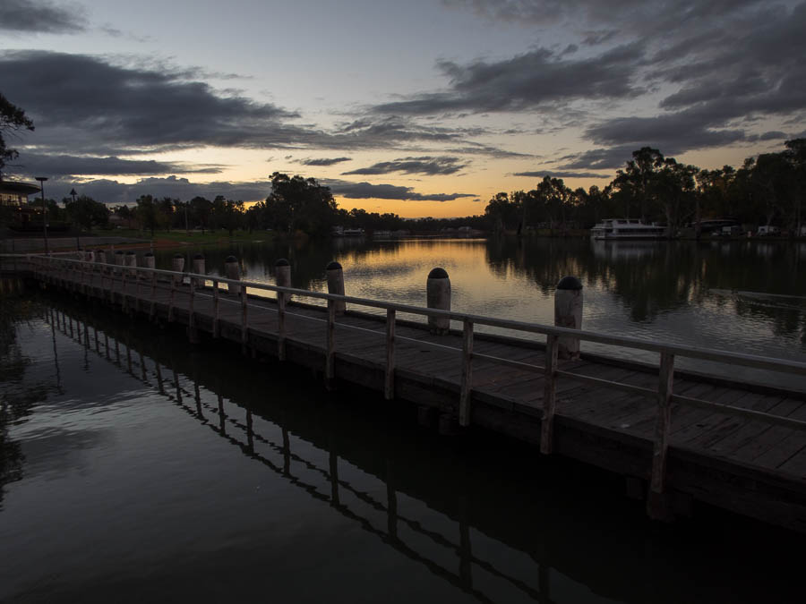
Sunset on the Murray in Mildura
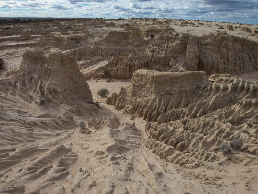
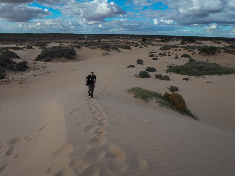
Once we’d headed inland we enjoyed having some sun and blue skies after what felt like a very grey week on KI. After ticking off Jaycee Park Markets, Lock 11 and coffee in Mildura we didn’t end up getting to Mungo National Park until almost midday. No time to waste we almost immediately set off on the 70km self-drive loop of the park.
Utah or Mungo?
Emus were a bit of a novelty for us and there were plenty in the area.
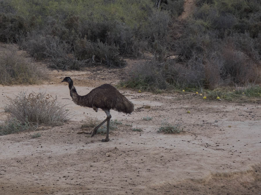
Lots of emus around the park
Namibia or Mungo?
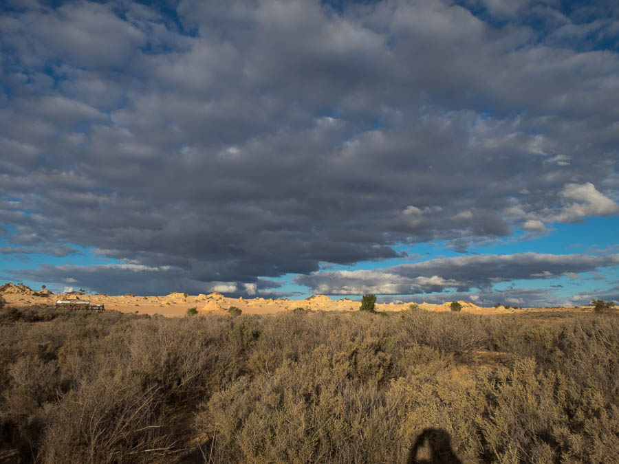
“Walls of China”
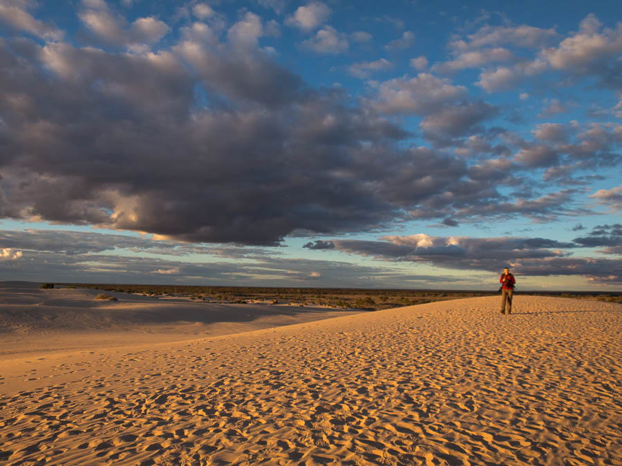
Sunset on the Walls of China
The stars were excellent as you’d expect. The following day we finished reading all of the information boards at the Zanci Woolshed and the Visitors Centre before heading to Balranald. We had lunch in Yanga National Park and then visited another historic woolshed. Then we visited Yanga Lake for a walk and some bird spotting. We spent the night in Hay. Both of us were awake at 5:30am (despite an intended 7am alarm) so we ended up hitting the road in the dark. Breakfast in West Wyalong at 8am seemed quite reasonable, followed by coffee in Cowra at 11am, then lunch in Bathurst (with a visit to Gaby). We had dinner in Blackheath before eventually getting back to Sydney about 9pm. A big day of driving.
| From |
To |
km |
cumulative |
| Sydney |
Canberra |
322 |
322 |
| Canberra |
Rutherglen |
389 |
711 |
| Rutherglen |
Rutherglen |
0 |
711 |
| Rutherglen |
Northern Grampians |
501 |
1212 |
| Northern Grampians |
Penola (Coonawarra) |
228 |
1440 |
| Penola (Coonawarra) |
Penola (Coonawarra) |
45 |
1485 |
| Penola (Coonawarra) |
Adelaide |
508 |
1993 |
| Adelaide |
Cape Willoughby |
146 |
2139 |
| Cape Willoughby |
Vivonne Bay |
130 |
2269 |
| Vivonne Bay |
Cape Borda |
120 |
2389 |
| Cape Borda |
Flinders Chase National Park |
80 |
2469 |
| Flinders Chase National Park |
Hanson Bay |
20 |
2489 |
| Hanson Bay |
Hanson Bay |
0 |
2489 |
| Hanson Bay |
Adelaide |
246 |
2735 |
| Adelaide |
Mildura |
430 |
3165 |
| Mildura |
Mungo National Park |
193 |
3358 |
| Mungo National Park |
Hay |
308 |
3666 |
| Hay |
Sydney |
752 |
4418 |
Most expensive petrol – Vivonne Bay 182.9c/l