Mother Woila – Jillaga Creek (Jan 2018)
I think John had been planning a revisit to Deua National Park every since our last trip in 2015. We had 5 returners from the 2015 trip plus Alan to give us 6 which is a good party size. This time John had a 4 day route in mind – to deal with unfinished business with Mother Woila on the first day, then see some new parts of Deua for the rest of the trip.
Most of us drove down the night before and camped. Some took the opportunity on the morning of day 1 to read the email with the details for the first time… and realise that we were meant to be carrying water for the first 2 days! Fortunately between extra water in cars and Currambene Creek everyone was able to load up sufficiently (though there was some disagreement about what the ‘right’ amount of water was). The first challenge of the day was getting cars to Dampier Trig. We all made it, but John’s car was smelling quite unpleasant and issuing smoke by the time we arrived. Oh well! That would be a problem for 4 days time!
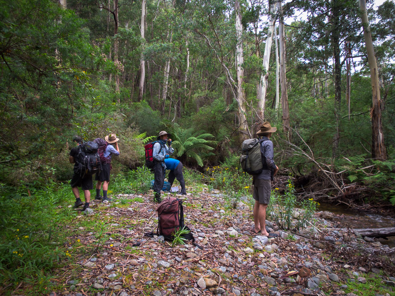
And so we were off. We quickly picked up an old fire trail off Dampier Trig which took us out towards Mother Woila.
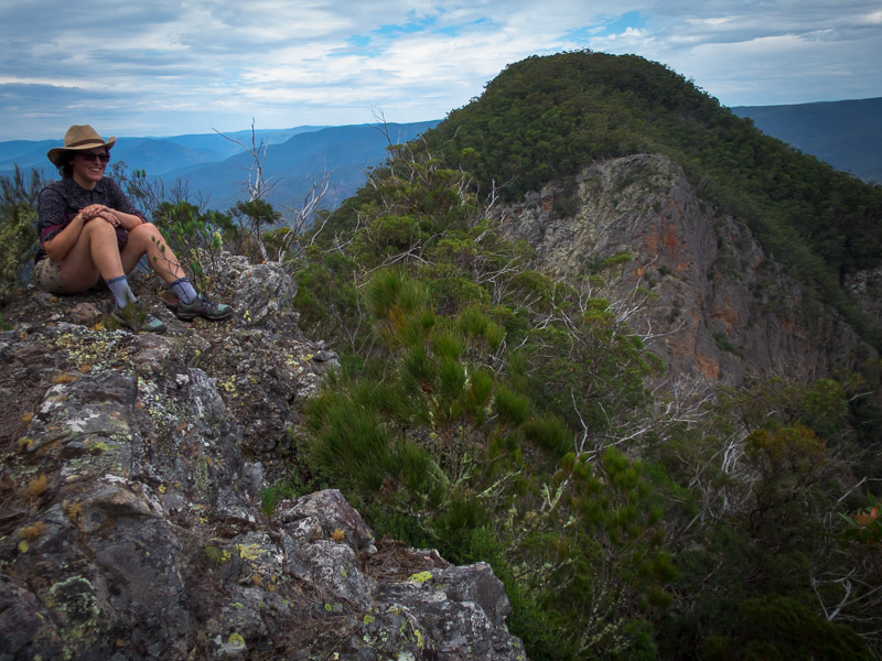
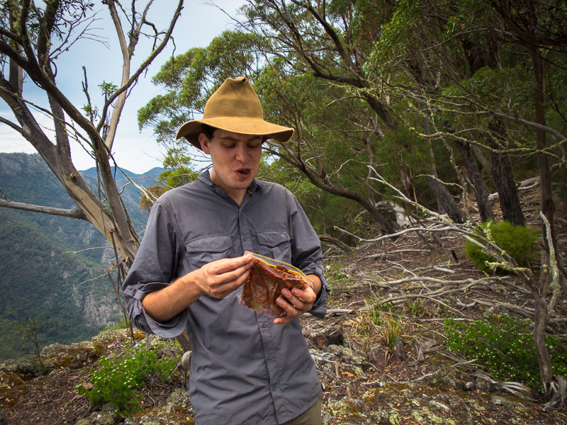
Gladly dumping our heavy packs we set off on a side trip to get onto Mother Woila. A couple of snakes in quick succession (black? & tiger) made us a little jumpy but it wasn’t long before we were having morning tea overlooking our objective.
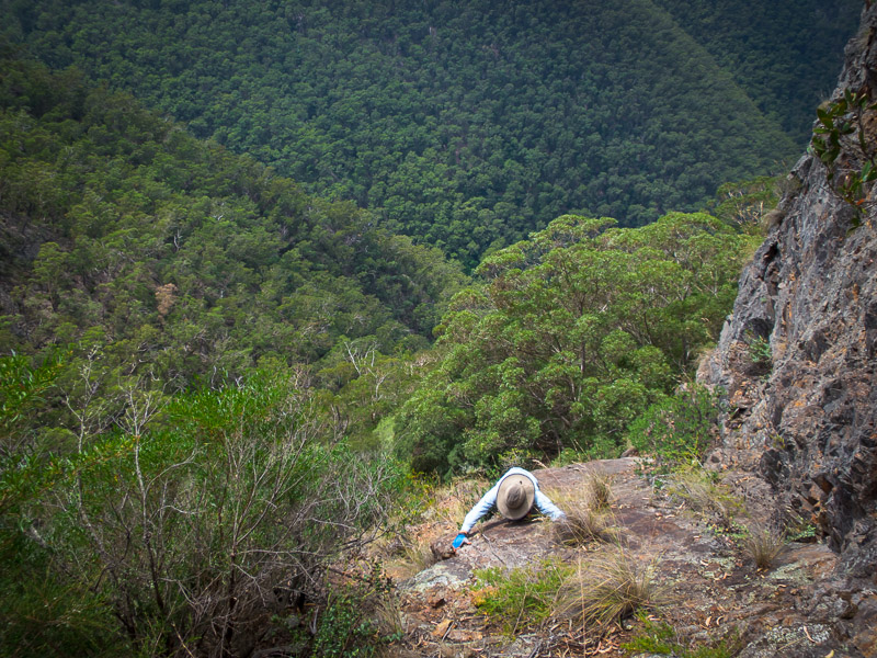
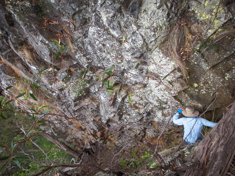
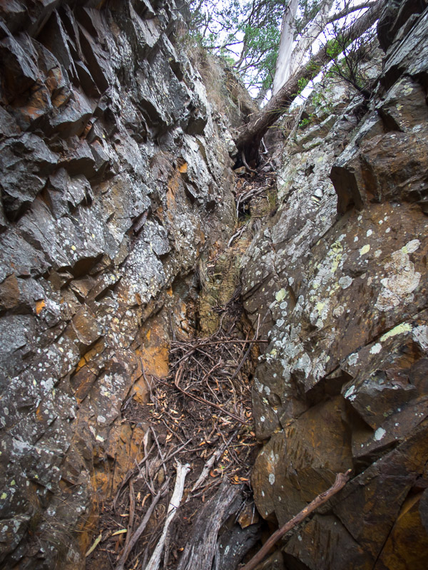
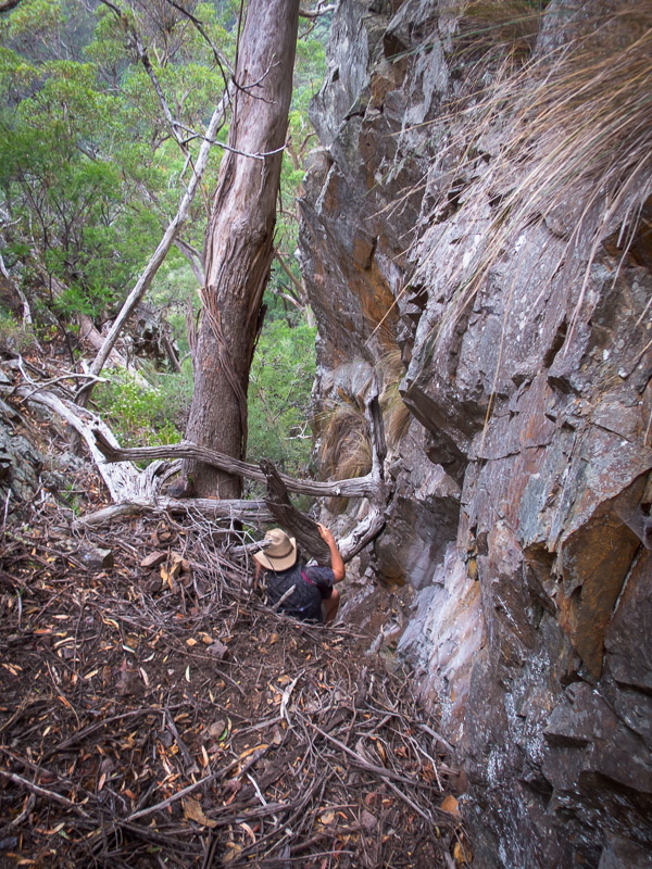
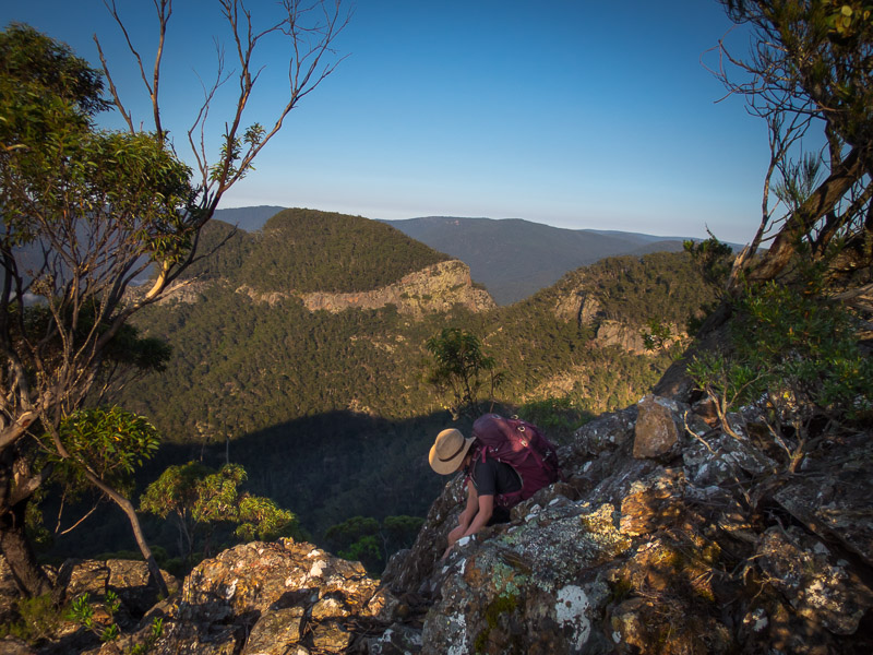
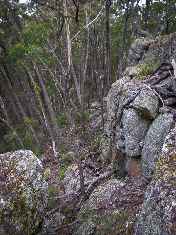
We headed down to the saddle where there was some discussion about how to ascend. In the end Alex & Alan headed off to the right-hand side while the rest of us skirted around the left with the intention of heading up the gully between Mother Woila and Little Woila. The siren-call of the cliff face drew us in though and before we knew it, despite having good beta that there was no easy route up this face, I was half way up a cliff with Bill valiantly following me. I was hoping John & Sierra would get to a similar spot by an easier route and we could take their route down…. unfortunately (or fortunately?) they had backed off much earlier and so were at the bottom. I was now at a vertical face I had no chance of getting up and I didn’t really fancy reversing what we’d just done, but that was what needed to happen. Fortunately I had the only handline in my pack. A few pitches with the handline around some marginal trees we were back at the bottom of the cliff. By this point Alan & Alex were already at the top waving at us… guess they were going to be waiting a while!
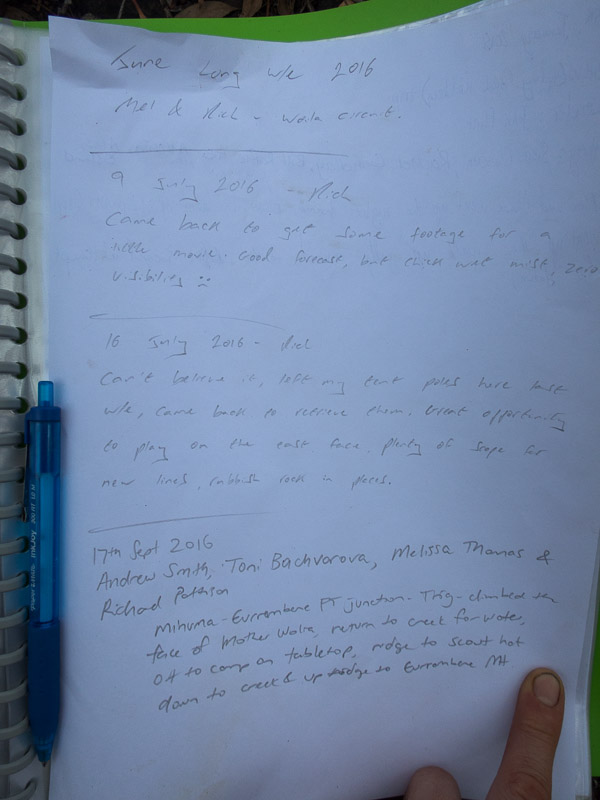
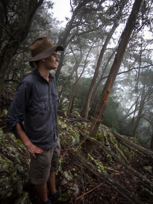
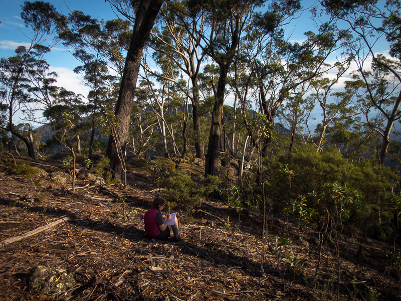
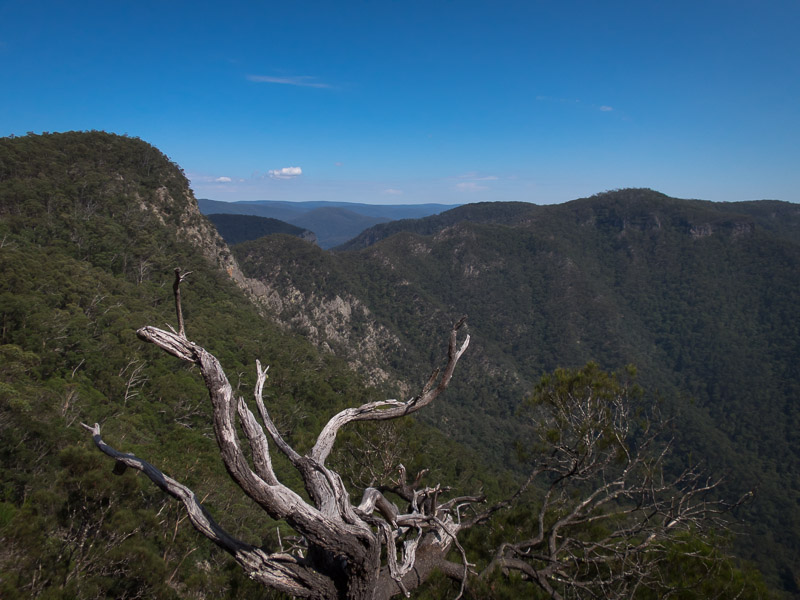
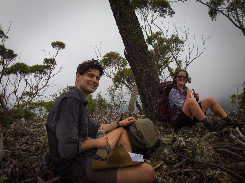
We eventually made our way up the gully, after a couple of attempts up minor gullies, and out to the rocky outcrop on Mother Woila. It had been very warm and humid as we’d made our way up and thunder rumbled overhead as a storm brewed. A few photos, an essay in the logbook by Sierra, and then we decided we’d better get off before it started raining. We were pretty happy that Alex & Alan thought they had a suitable route for the whole party to descend rather than reversing our longer approach.
The rain largely held off until we were back in the saddle.
With my unsuccessful climbing foray, and the heat taking its toll, we didn’t get back to our packs until 4pm. As it was raining we figured it was best to get to Horseshoe Point rather than have lunch. Finally at Horseshoe Point at 5pm we had lunch – has food ever tasted so good? The storm had cleared by then so we enjoyed drying out in the sun.
We had a pleasant time around the fire before turning in fairly early. The rain came back not long after we went to bed.
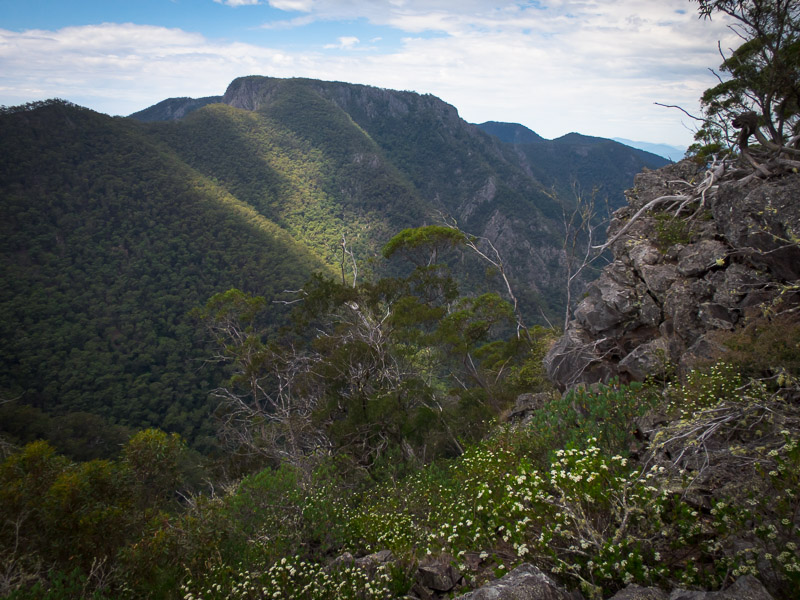
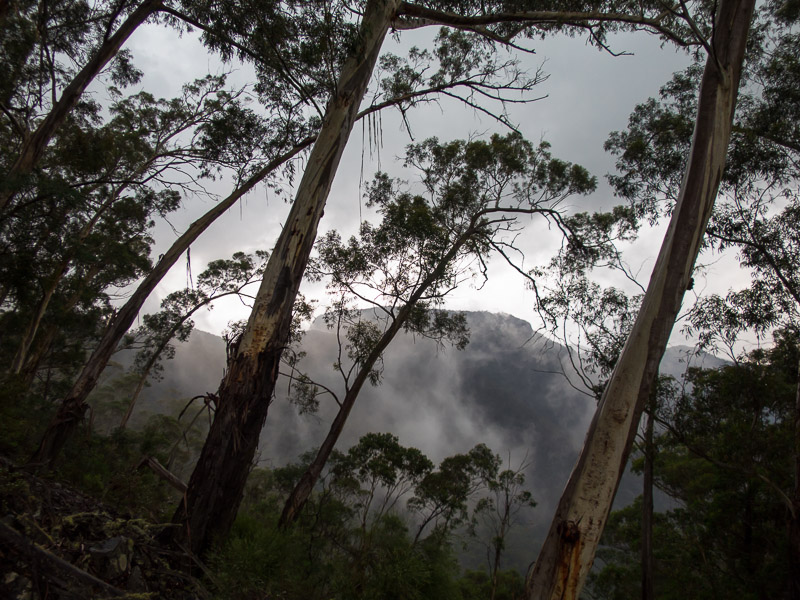
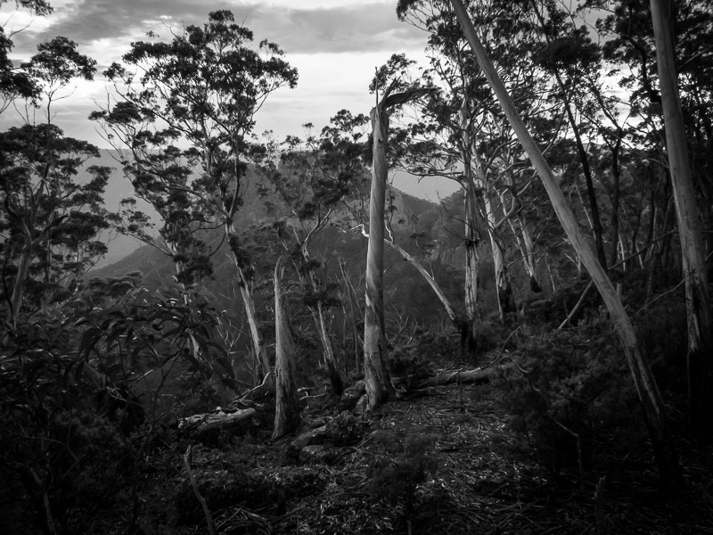
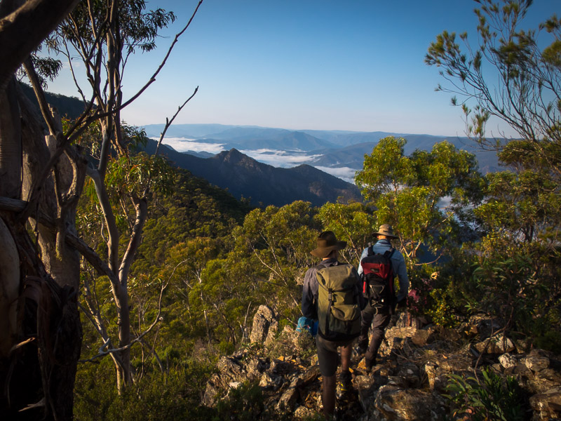
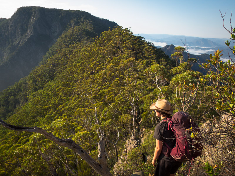
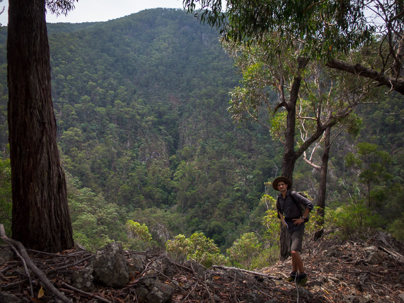
We had a long day ahead so we got away from camp at 7am. The ridge between Horseshoe Point and Tabletop gave excellent views in the early morning light.
Even with the early start it was oppressively humid and it was soon clear our original objective was out of the question. A new plan was hatched which eliminated several kilometres of ridge walking and took us to Jillaga Creek sooner than expected.
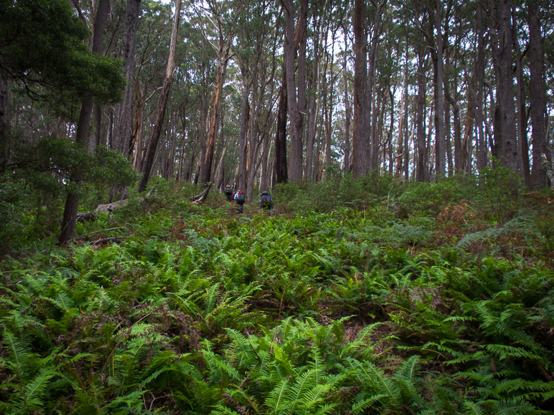
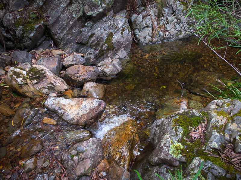
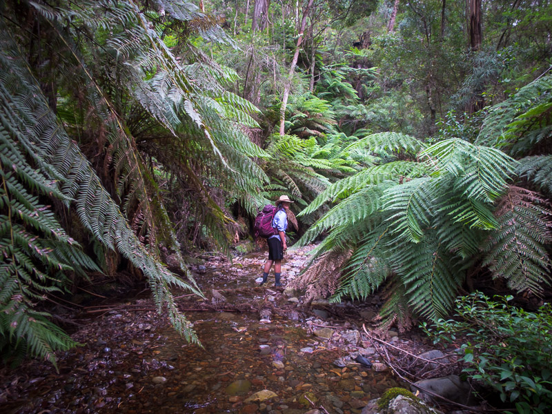
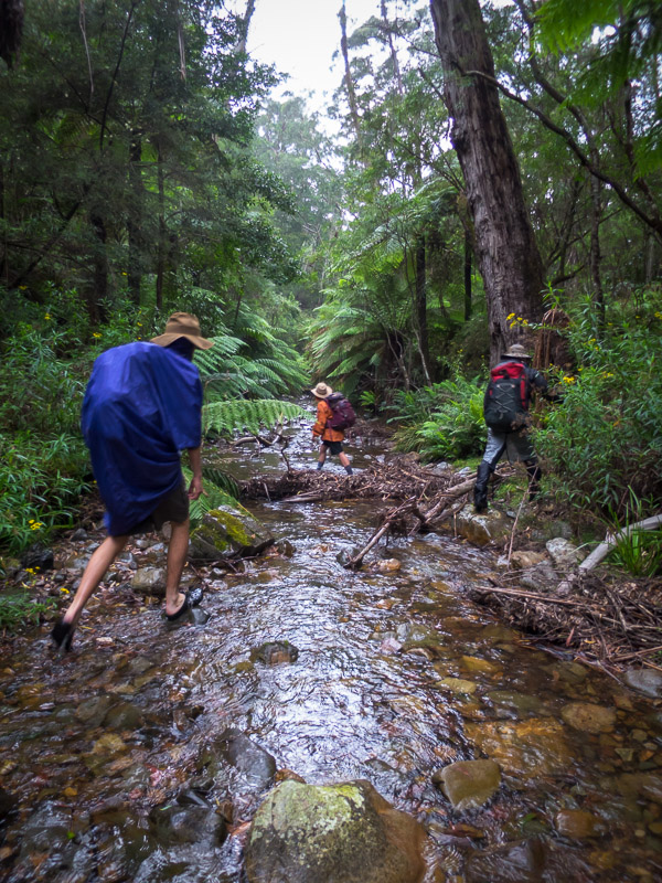
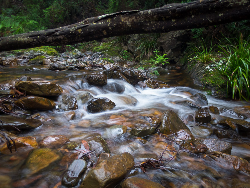
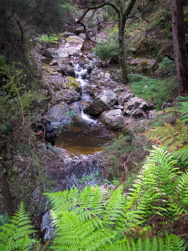
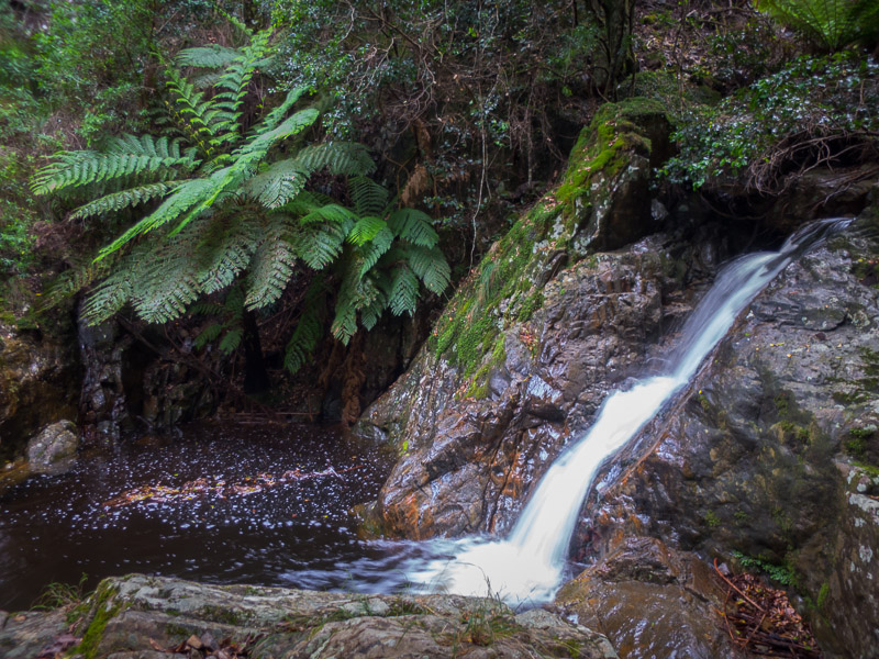
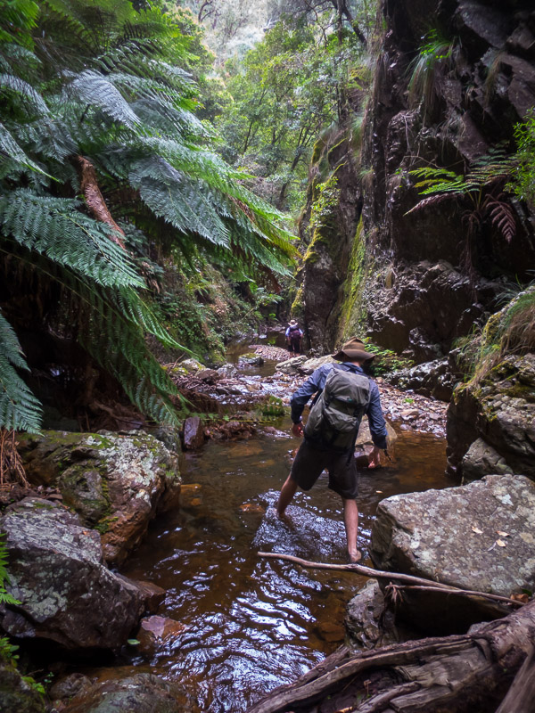
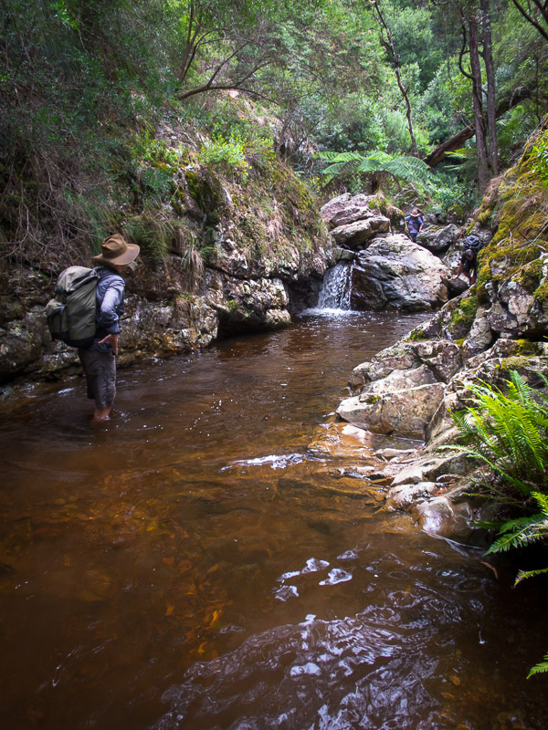
We hoped that Jillaga Creek would be running and it was music to the ears when we heard the flow before we could even see it. The easiest walking was in the creek so that’s where we walked. It was a beautiful section of creek surrounded by ferns and easy walking on the rocky bed.
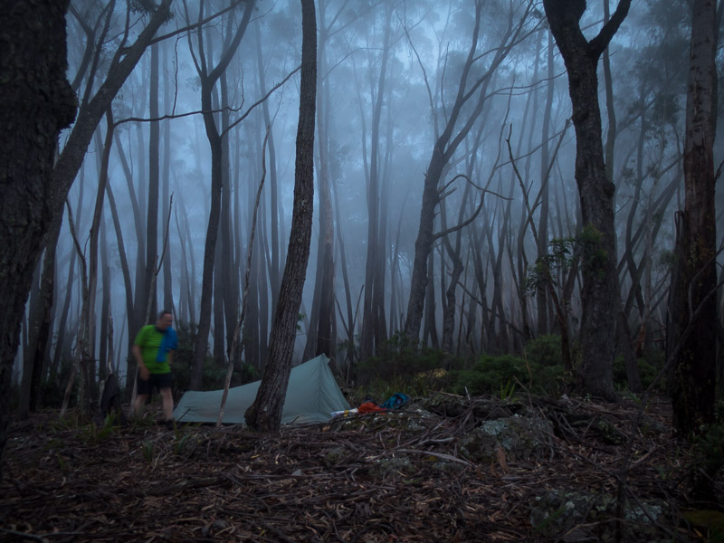
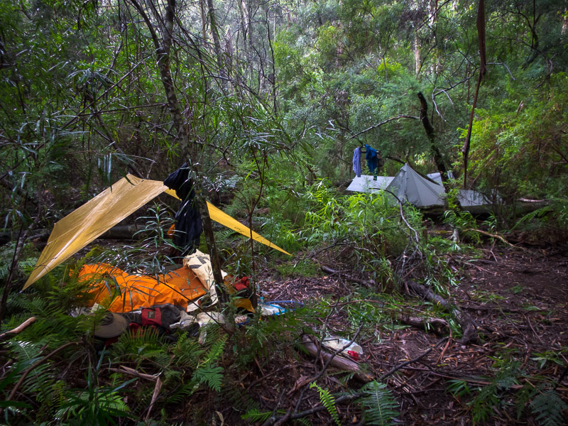
Another storm came through as we walked down the creek. We kept going keeping an eye out for campsites. There were a number of single sites but not much for 6 people. With the rain still teeming down we settled on a site about 4pm.
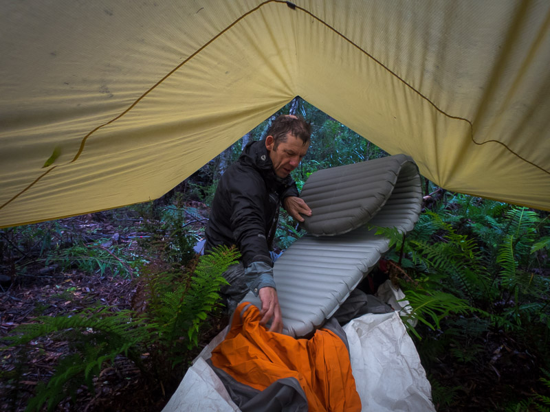
After standing around waiting for the storm to blow through for quite some time we eventually decided to set up. Teamwork made for a relatively dry set up and it was amazing how good it felt to be under the fly (even if it was in the mud) and out of the rain.
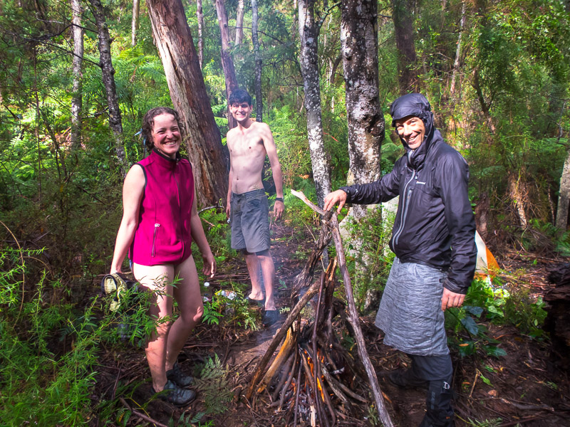
Eventually the rain did stop but everything was soaked through. Bill did a grand job getting a fire going and drying out wood. I was a little surprised to pull out my silk inner liner from my pack and find I could squeeze a considerable amount of water out of it. Note to self: pack liner is useless! Fortunately with the heat from the fire I was able to dry it and my Thermarest out quickly. In the end we had a pleasant evening and there was some damage inflicted on the 2 litres of port which Alex had brought.
It was interesting to see how much the creek had risen from when we arrived to the next morning. After the fact reviews of the weather data showed Snowball had 13mm and Bendethera had 21mm so I guess we got somewhere in between those numbers. (and our first day Snowball had 9mm, and Bendethera had 2.4mm)
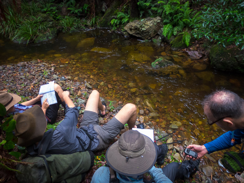
We kept walking downstream on Jillaga Creek until we reached a junction with a major side creek. This junction was our original planned night 3 camp, but we were here for morning tea on day 3 instead. At this point we split the group. John & Bill headed down Jillaga Creek towards Bendethera with the hope of getting a lift back to Dampier Trig. The rest of us set off on the planned day 4 exit.
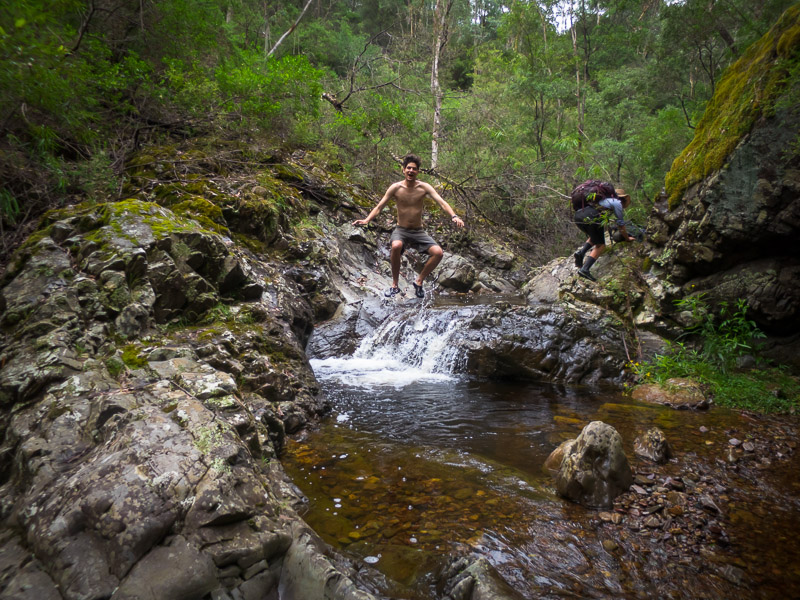
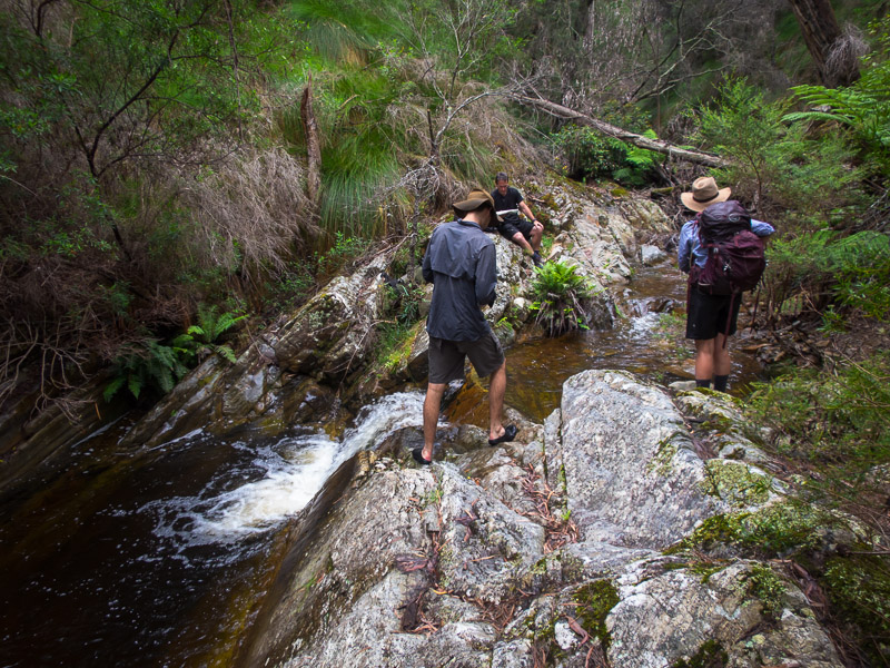
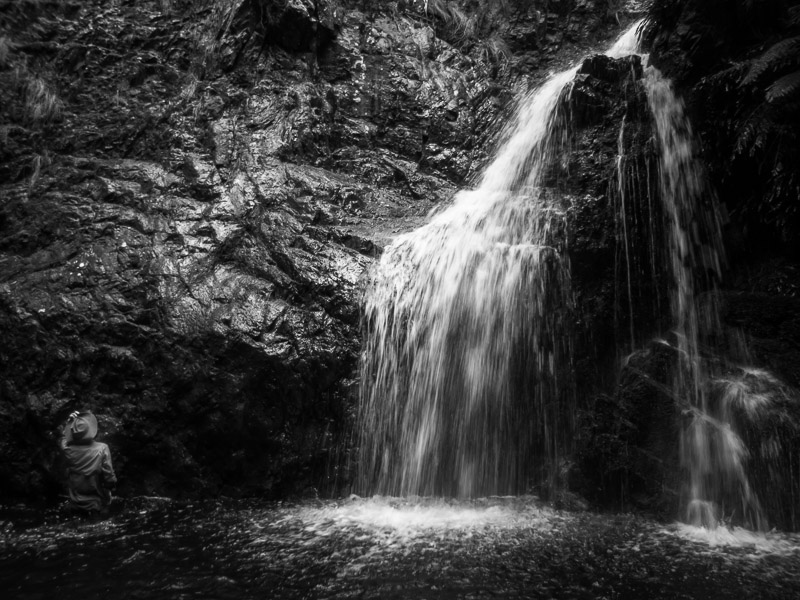
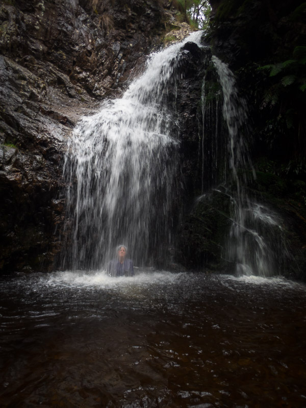
The first part of the exit was walking up the side creek. It was beautiful with lots of little cascades, a few deep plunge pools and a lot of extremely slippery rocks.
We expected to hit an impassable waterfall which would be our cue to head on to the ridge, and sure enough we did.
We backtracked downstream and had some lunch before filling up water and scrambling up a steep loose slope to attain the ridge proper.
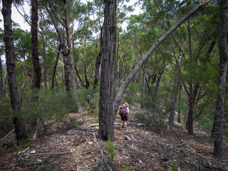
The rest of the day was all about going up. We were at about 400m in the creek and we needed to get to Dampier Trig at 1239m. And there was a fair bit of undulating on the ridges as we went. We were fortunate it was overcast and somewhat cooler than the previous 2 days, even so I was constantly dripping with sweat as we made our way up.
I was running on empty by the time we made it back to the old fire trail leading up to Dampier Trig. It was great news to find that John was already there. They had made good time down Jillaga Creek and then John had got a lift back to the car while Bill had walked most of the fire trail from the Bendethera Ford and was only a couple of kilometres away. Soon we were all reunited just in time for yet more rain. With the dirt roads successfully navigated back to the main road most of us headed to the Braidwood Pub for dinner and a very late, yet a day early, arrival back to Sydney. An excellent few days in magnificent country with a great group.

