Category Archives: Bushwalking

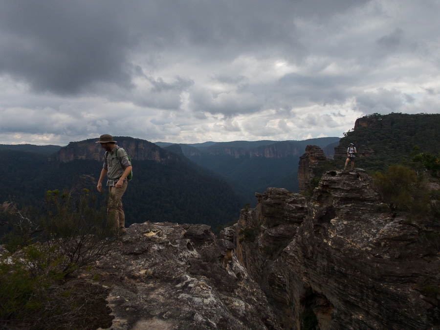
Mt Mumpu – The Return – Zambia Part I (30 Jul – 1 Aug 2018)

The last time I was in Zambia was 1996. A lot has changed since then! For one I am 22 years older. Another, I am now an adult. This was one of the more stressful trips I’ve organised – information on the internet isn’t as easy to come by but more importantly my trust that things I had booked would work out was low.

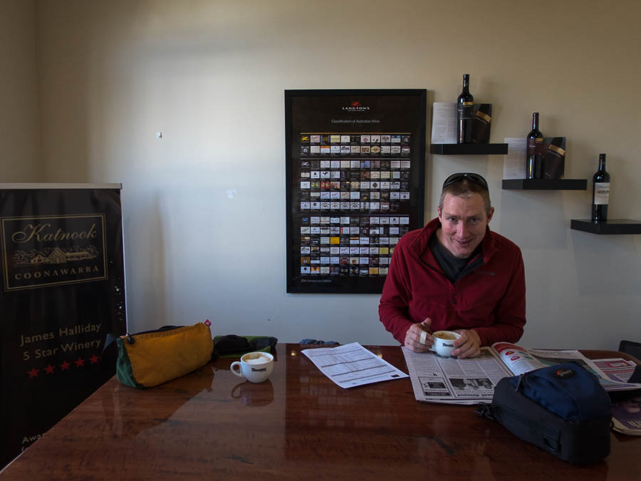
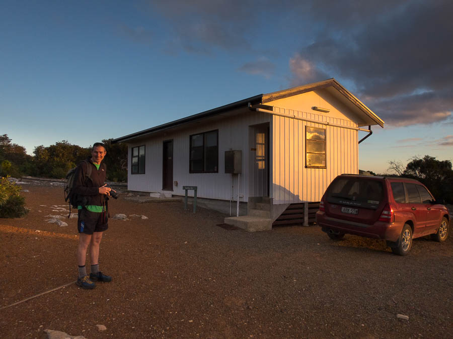
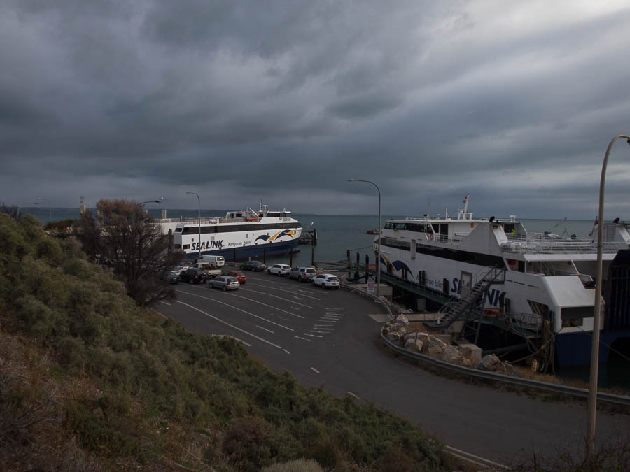
The internet was full of death-inducing dangers of driving in Zambia. There’s not a big car hire industry in Zambia and I had booked with a relatively unknown (at least by internet recommendations) company. We arrived into Lusaka early on our flight from Johannesburg, having left home some 20 hours earlier. Reaching the front of the queue at immigration we were informed we needed to be at the desk next door. So we duly shuffled across, upon reaching the front of that queue we were told we needed to be in the queue next door. What? We’ve just come from there? Turns out there was a little window we’d missed where KAZA visas are issued. Eventually being served from that window, the lady then battled with the password for the special laptop, the printer, the print alignment etc. Forty-five minutes later we both had KAZA visas, and the luggage was only just out so no time really lost. Our car hire man was there, and we were whisked away to a dark, deserted car park (it was 9:30pm by this stage) to collect the car. It was a full 4WD Toyota Prado rather than the ‘medium SUV’ I’d booked. Bonus. It felt like the classic set up for a mugging. I was pulling out my credit card, licence, passport while Tom was being dragged around to inspect the car in the dark.  We survived the dark car park and soon I was driving to our accommodation for the night. That was all pretty straight-forward as well.

The next morning we had breakfast and then headed to East Park Mall to do some shopping. I was impressed by the mall. Unfortunately because it was Sunday most of the shops didn’t open until 10am, so we couldn’t get away until after then. The camping store I’d hoped to get a gas canister from had one sort with the screw (EN417) attachment but it wasn’t quite the type we’re used to. With no choice we hoped it would work. We picked up a local SIM card as well as some groceries and fuelling up the car. Tom took the first leg of the driving which wasn’t much fun as we had to firstly get out of Lusaka and then once on the main road there were numerous trucks going at variable speeds. It made overtaking a much more challenging experience due to the large variety of speeds being done, by the vehicles in front, the vehicles approaching on the other side of the road and the vehicles racing up behind you that were game to overtake multiple cars/trucks at a time. On the plus side the road was in much better condition than I was expecting with very few potholes.

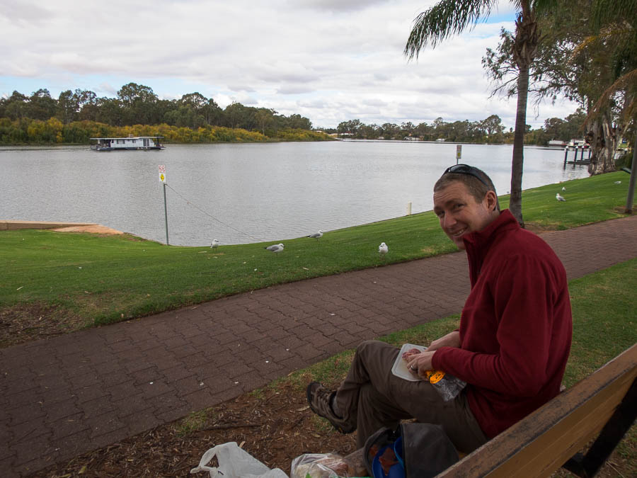
Not finding anywhere suitable to stop for lunch Tom ended up doing over 4 hours straight driving, and lunch was eaten while we were driving. It was with great relief we finally got to my old school friend Nicky’s farm in Mkushi. I last saw Nicky in NZ when we were both 19 and we did a 2 week road trip around the South Island. A lot has changed since then! We had a lovely evening outside around the fire with Nicky & family (husband, 4 kids, 2 fur children) before crashing out. The next morning Nicky’s Mum & Dad & sister popped by – it was great to see them, as they had been wonderful hosts to me for several weeks in the summer of 1996/97.

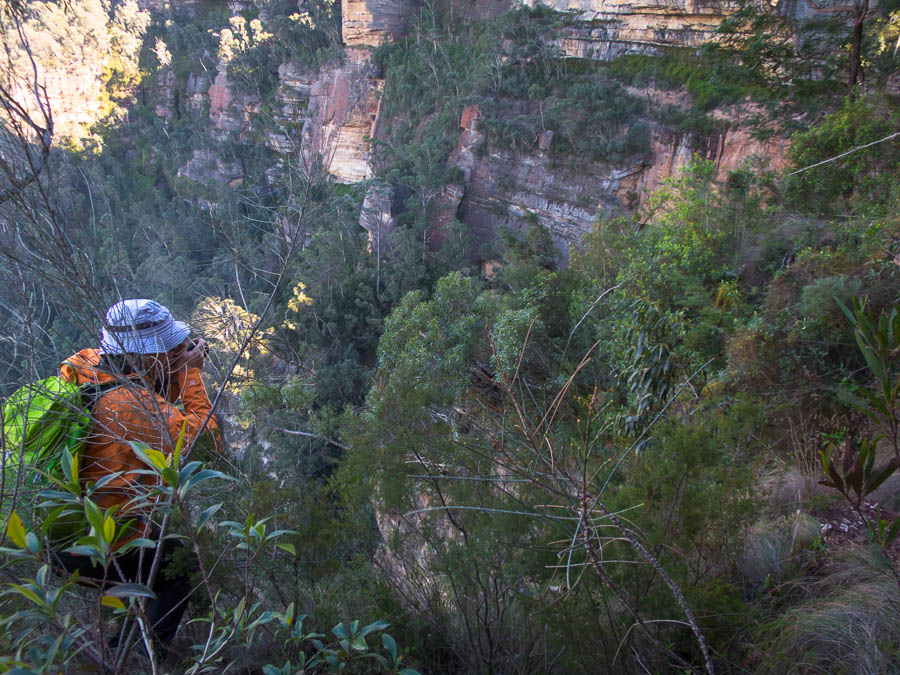
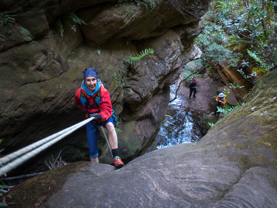
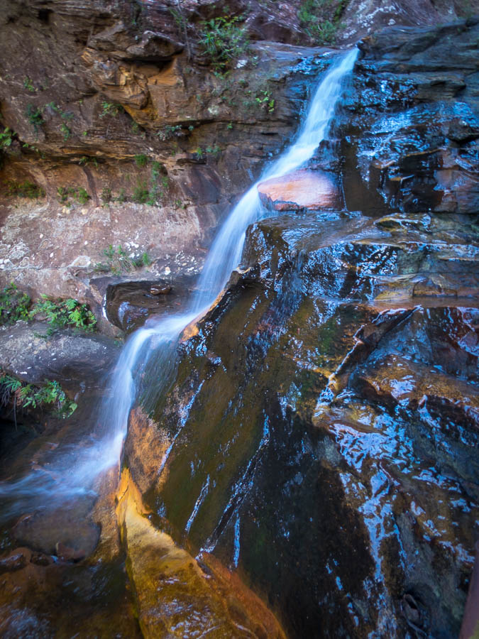
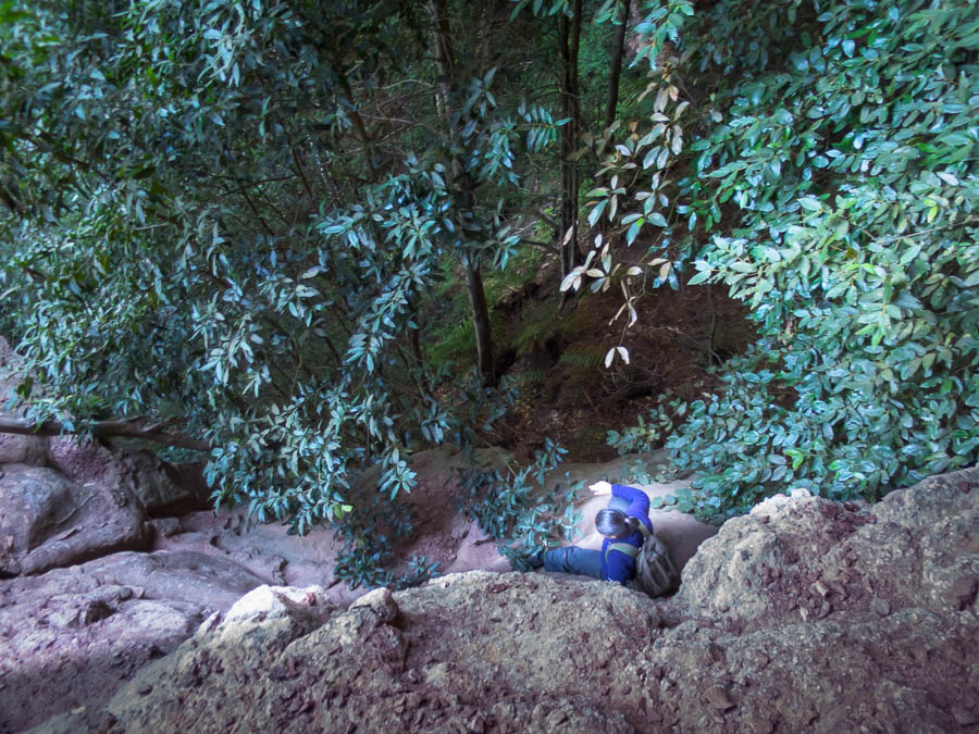
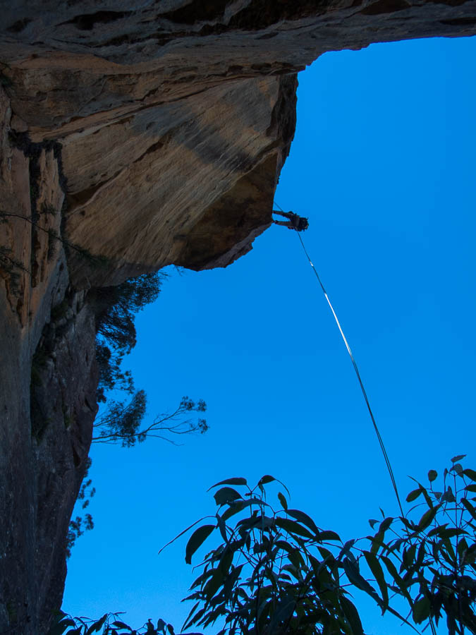
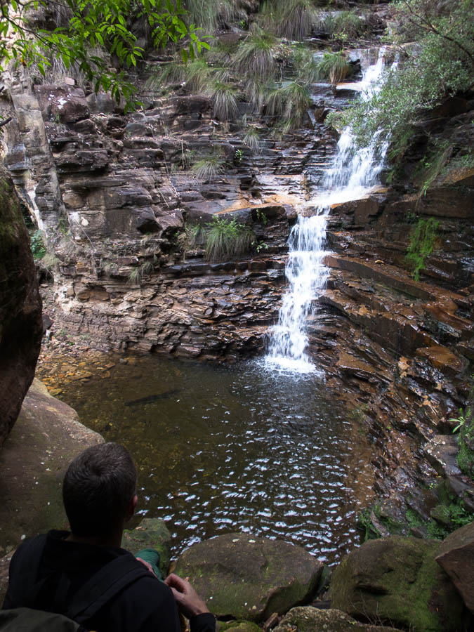
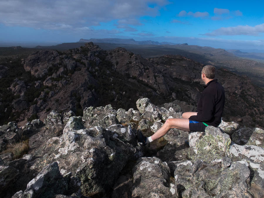
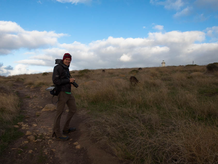
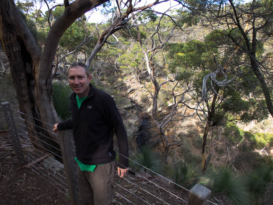
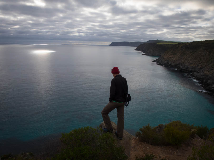
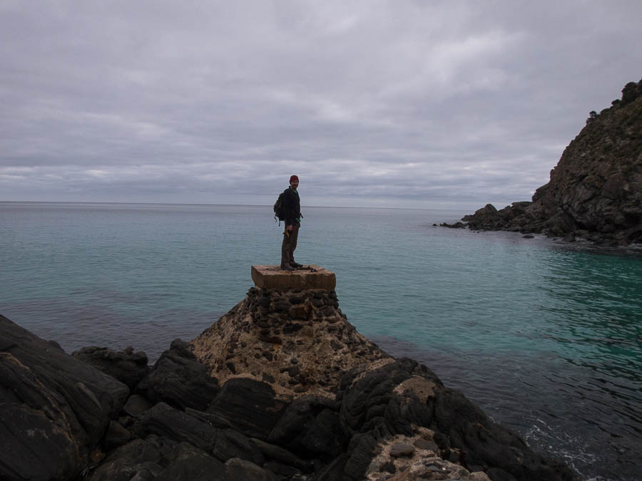
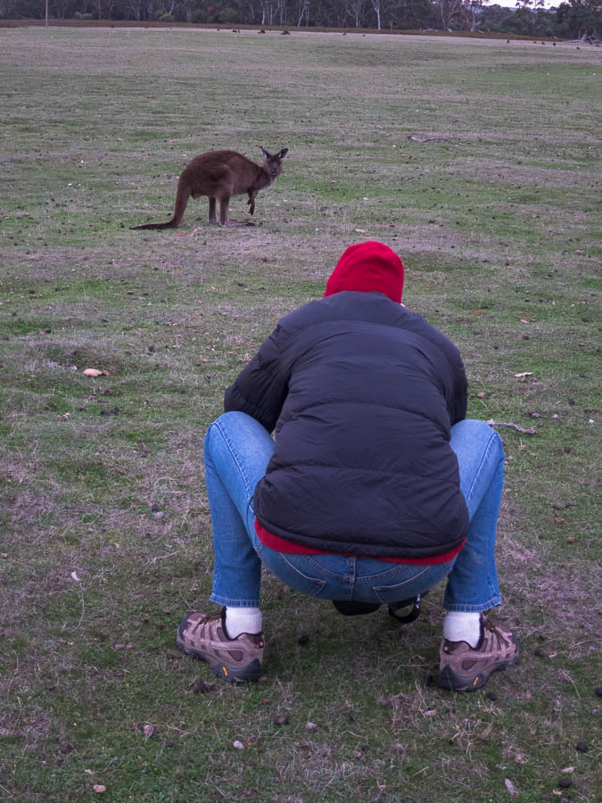
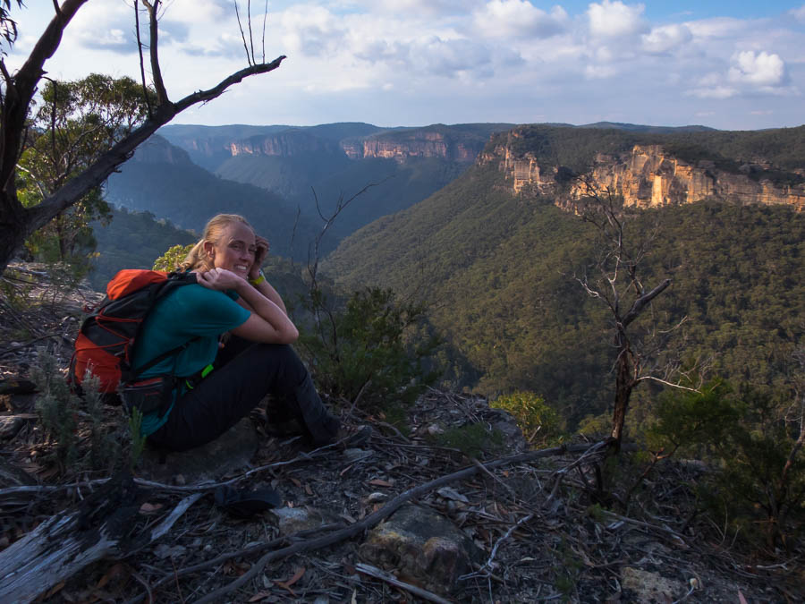
Next stop was Ndubaluba to get a map for our Mt Mumpu mission. Abe gave us a map and the loan of a water filter, but the most complex thing seemed to be the driving directions! We hoped we had all we needed before hitting the road for Kundalila Falls. Despite suggestions we should pretend to be locals to get the cheaper fees I couldn’t bring myself to outright lie when asked what country we were from. So K150 each later we had our invoice – only 6 times the local rate! We wandered around to the look-out of the falls, then headed down to the bottom. The base of the falls was in the shade and despite being a bit sweaty by the time we got down there was no real temptation to go for a swim. Tom spent a while photo-faffing before we headed back up.

IMG_2955

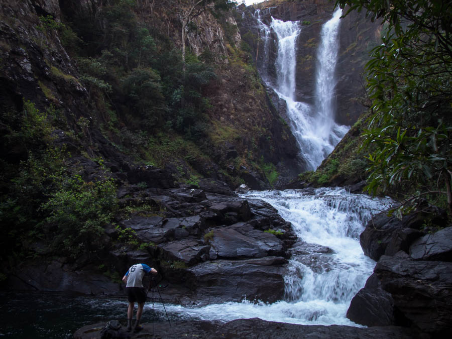
The photographer at work at Kundalila Falls

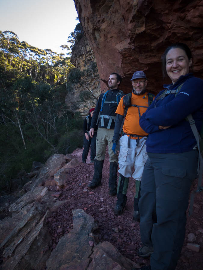
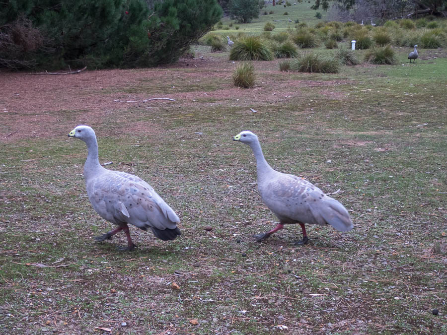
At the top the campsite was pumping! We had been warned that there was an Ndubs group there, so it wasn’t hard for me to pick out Mr Thompson (my ex-Geography teacher, now head of the outdoor centre). We had a most enjoyable evening with Mr T, and the Banani school group – including their presentations of Super Supper. It was our coldest night though – was very glad of my warm sleeping bag that I almost hadn’t packed.
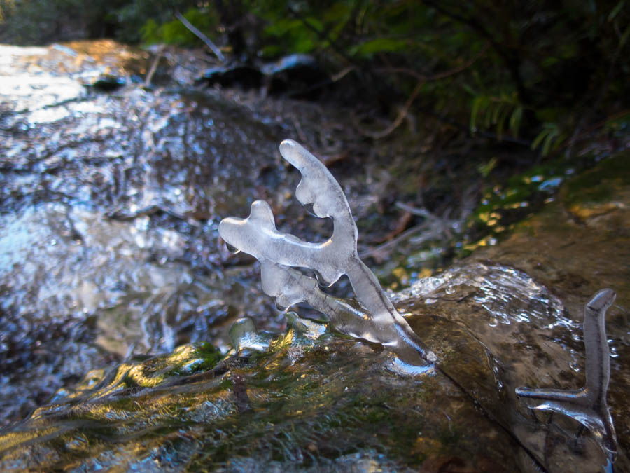
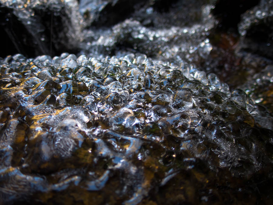
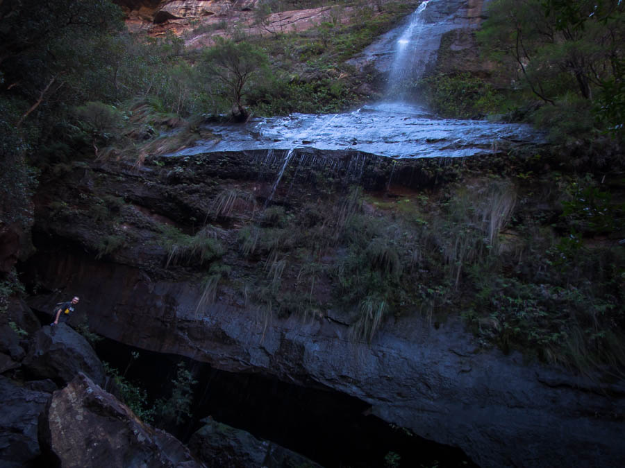
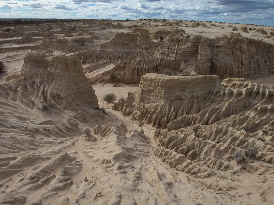
IMG_2957

Kundalila Falls

IMG_2961

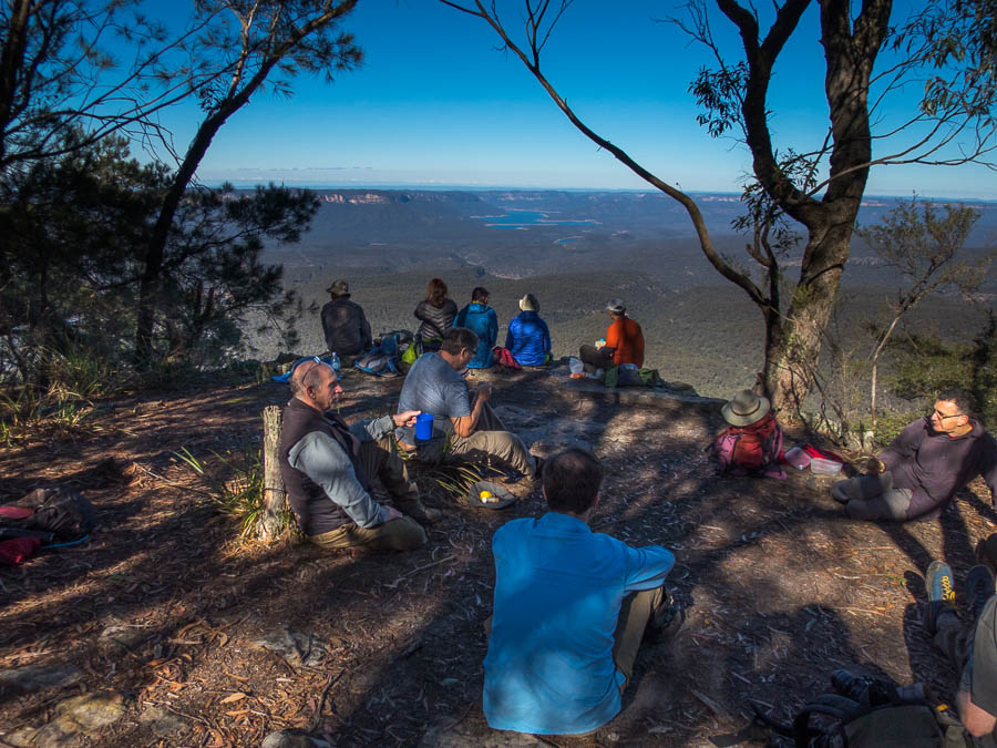
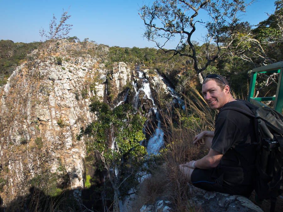
Views from the Kundalila Falls viewing area

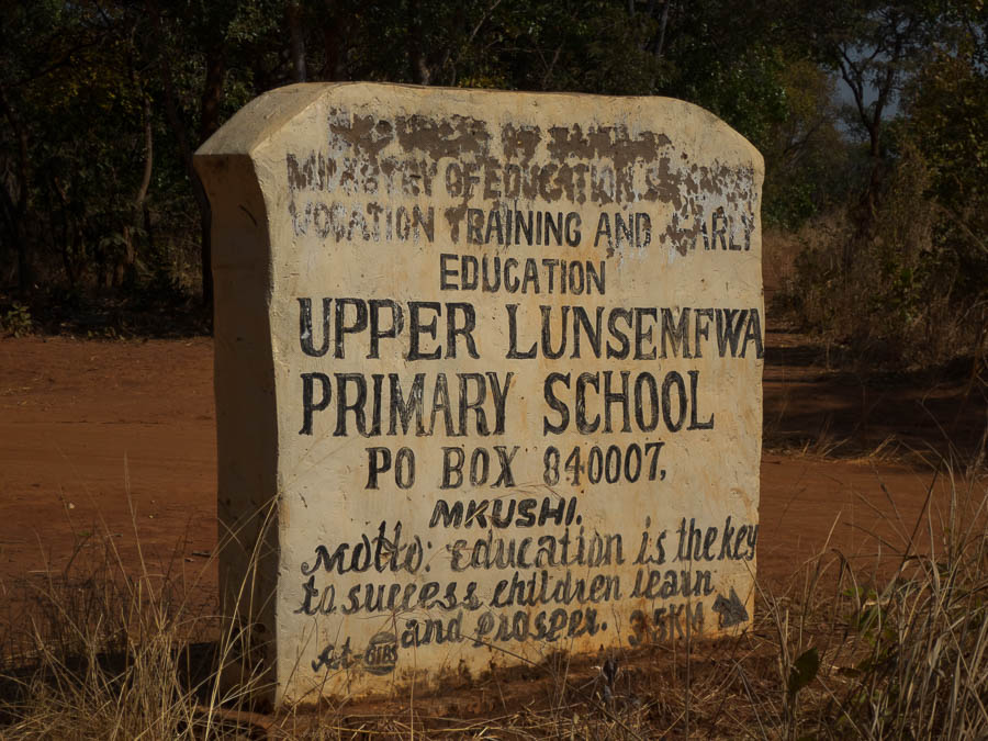
After visiting the view point again in the morning, and with final tips from Mr T on Mumpu we hit the road. We made good time to Mkushi, but then it was a very slow drive out to Changwena Falls. We had a mud map of the route but we weren’t super confident in it. The key direction was to turn right at the Upper Lunsemfwa Primary School sign… we got to a sign, I thought I could make out the lettering so we turned. The road was increasingly sketchy and we were both desperately hoping we were going the right way because it wasn’t going to be much fun having to drive back out with no reward.

IMG_3028

The sign!

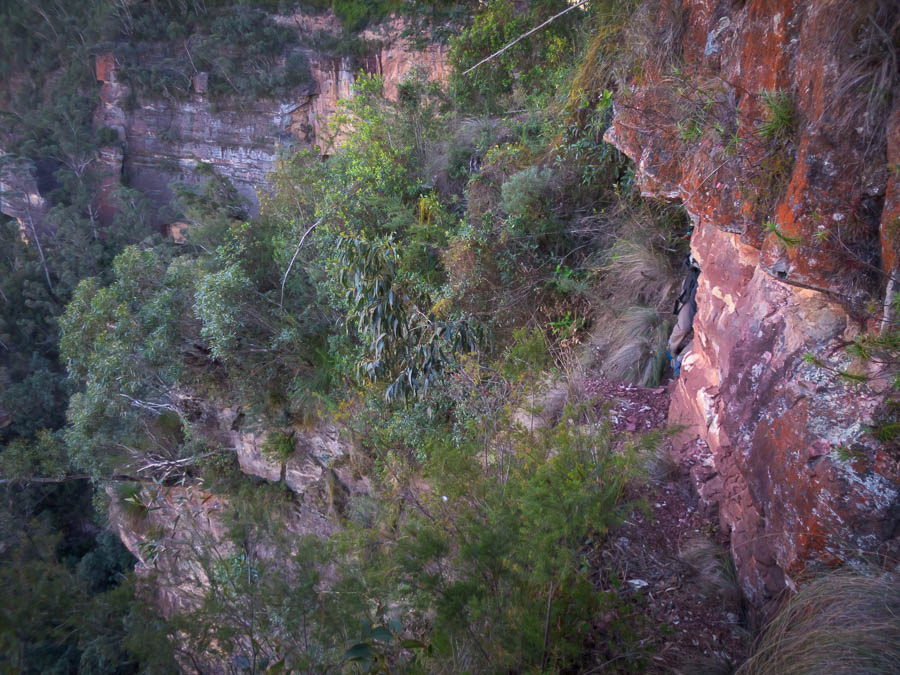
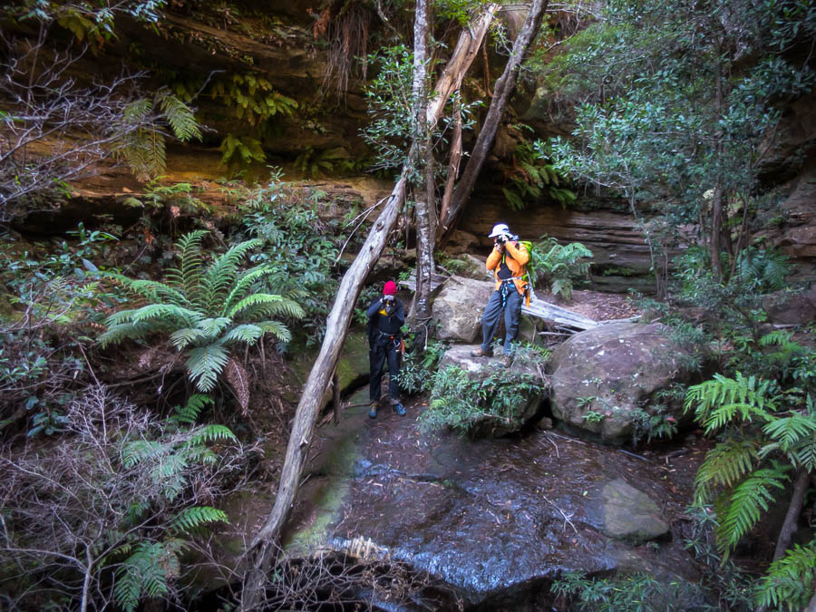
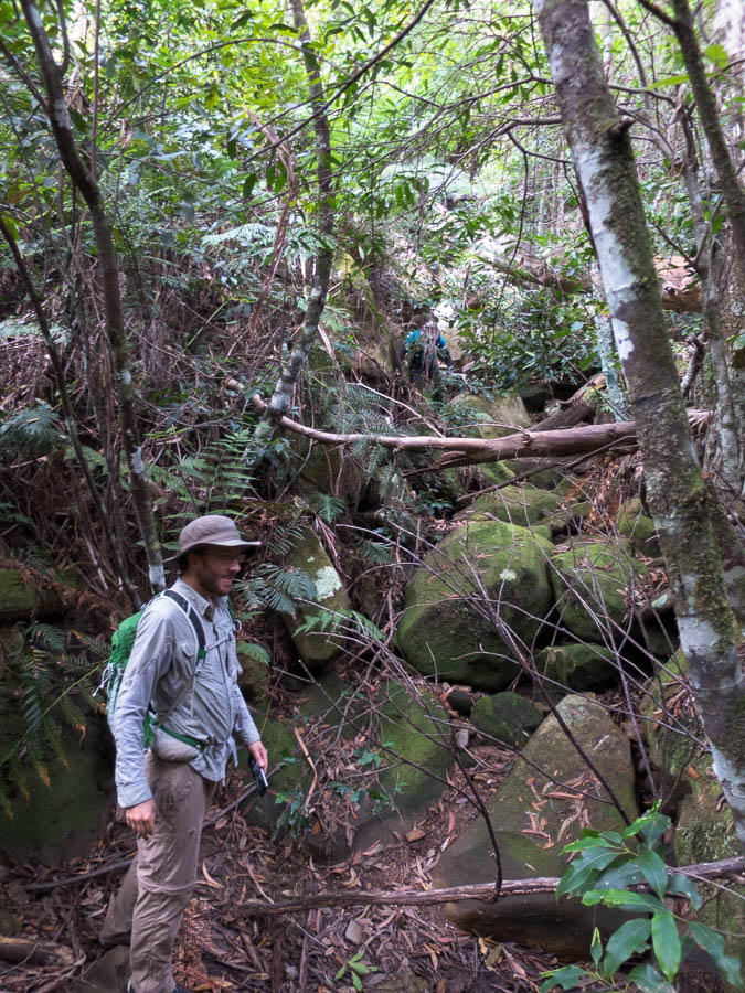
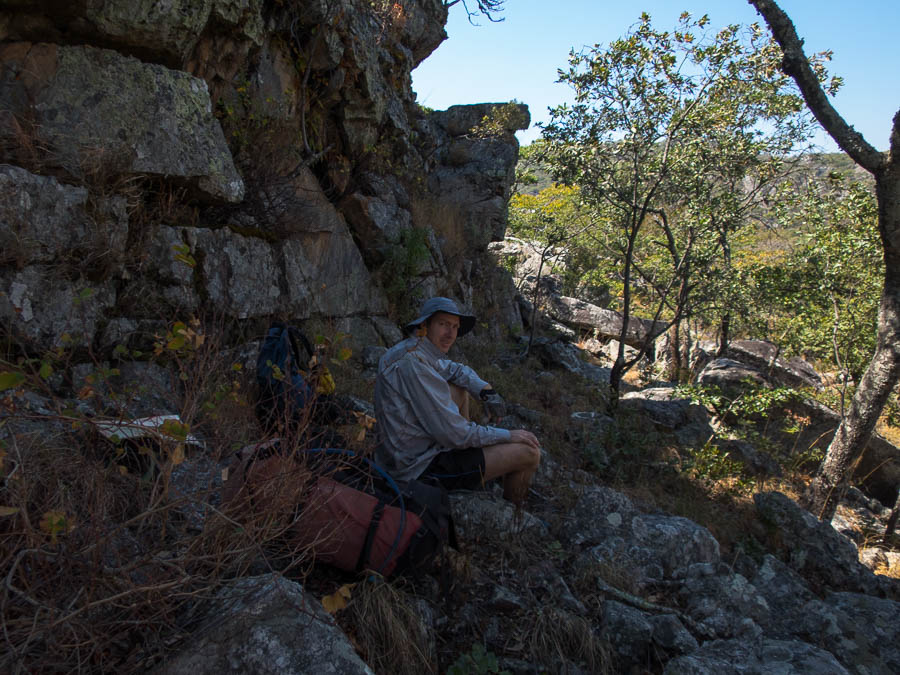
Eventually we became confident we were on the right road. We found the other turn-off with the bits of tape on the tree and soon we were at Changwena Falls along with the crowds. We had also been warned that a Duke of Ed Group would be finishing up there, so we weren’t surprised. What we were surprised at was the annoying bitey flies (bees?) that were everywhere, including in your ears and eyes and nose. That made our decision on whether to walk to the base that afternoon pretty easy – anything to get away from the insects! We scored a colour map from Josh, to replace the B&W one we’d been given by Abe, and then we were off.

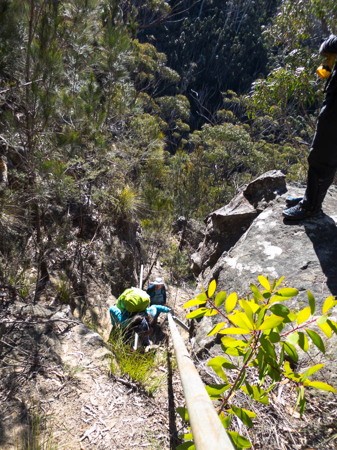
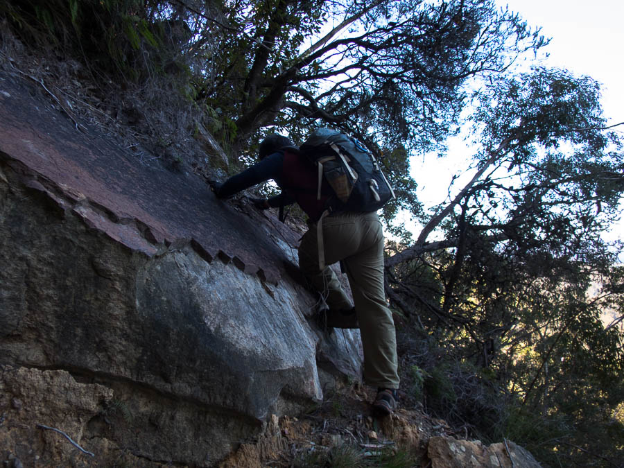
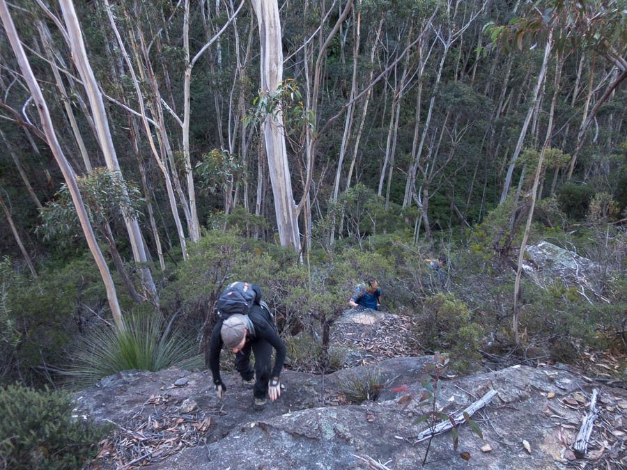
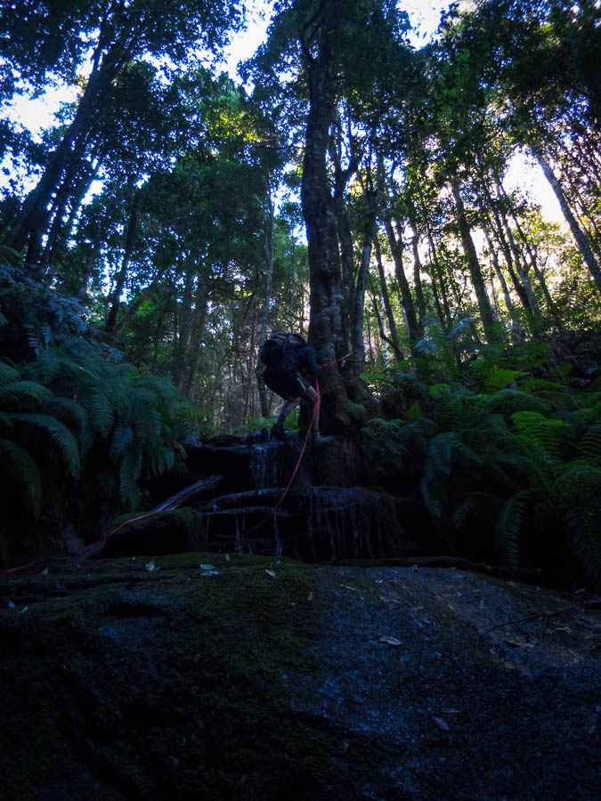
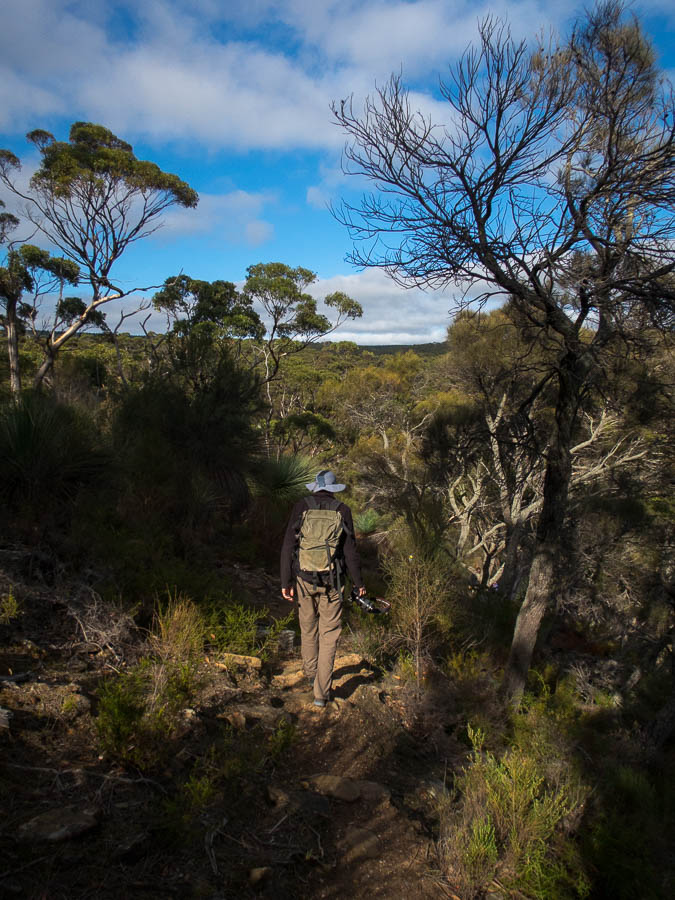
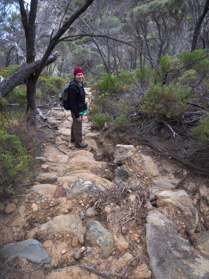
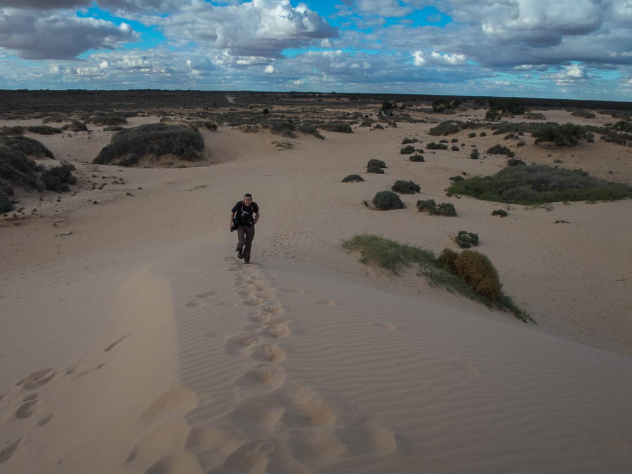
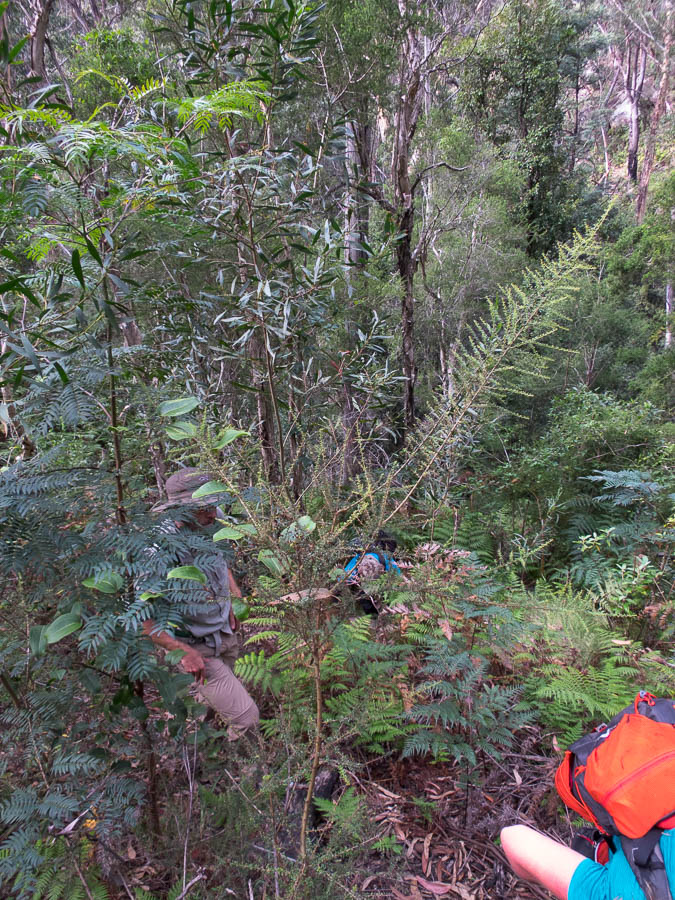
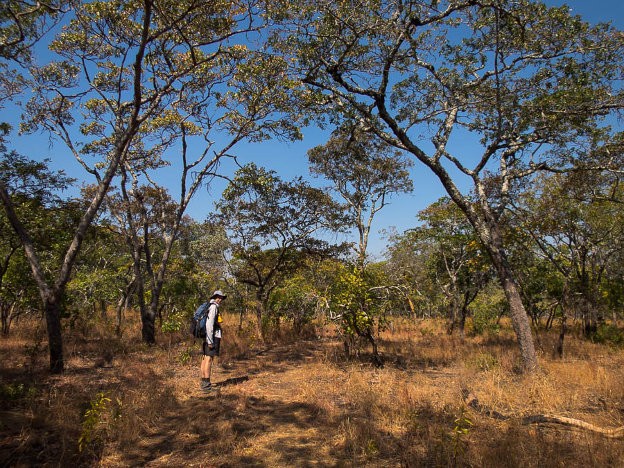
What we would call a fire trail had been established to a base camp below Mt Mumpu so it was easy walking in the late afternoon.

IMG_2966

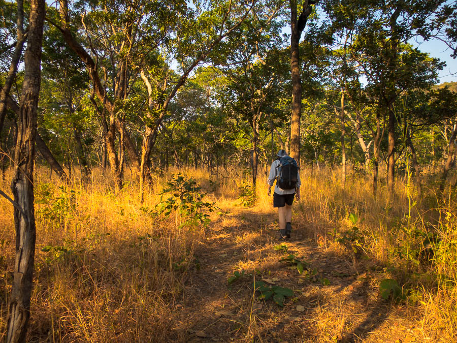
The firetrail to the base of Mt Mumpu

We passed a burn-off along the road on our way. Unfortunately one of the last things Mr T had warned us about was the possibility of fires and the danger to the car. While I wasn’t concerned it meant Tom had a sleepless night worrying about it.

IMG_2969

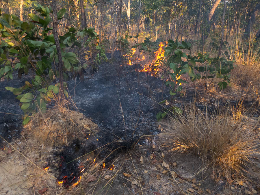
Seasonal burn-off next to the fire trail

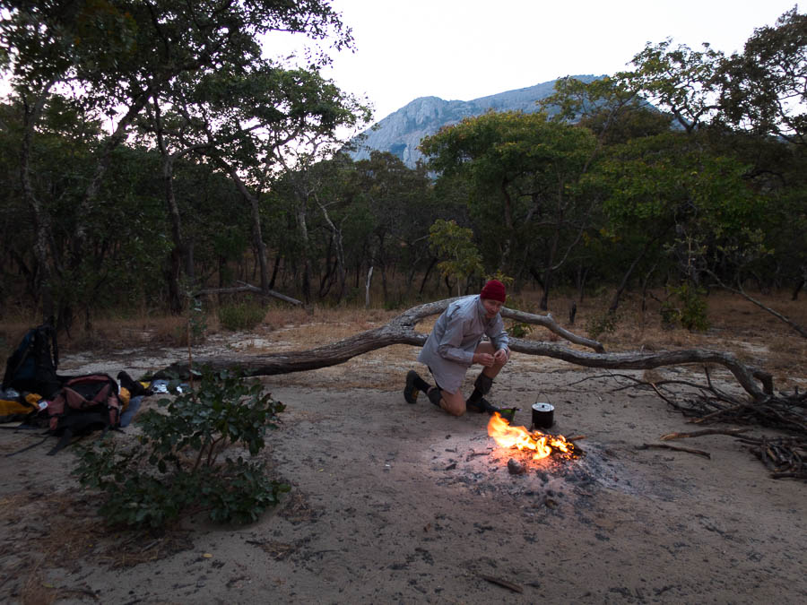
After some quick photos of the mountain in the sunset light we got camp sorted. Our gas canister had been a dud as our stove wouldn’t screw into it far enough to release gas, so it had been ditched and we were back to cooking on the fire. It was a super windy night which didn’t help our sleep.

IMG_2975

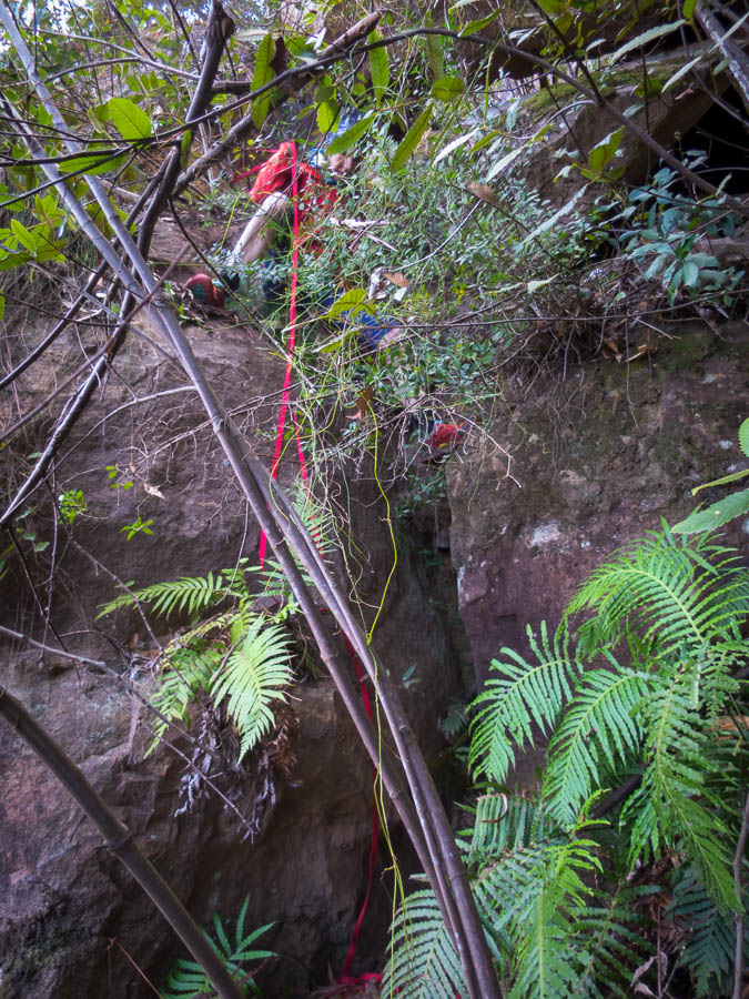
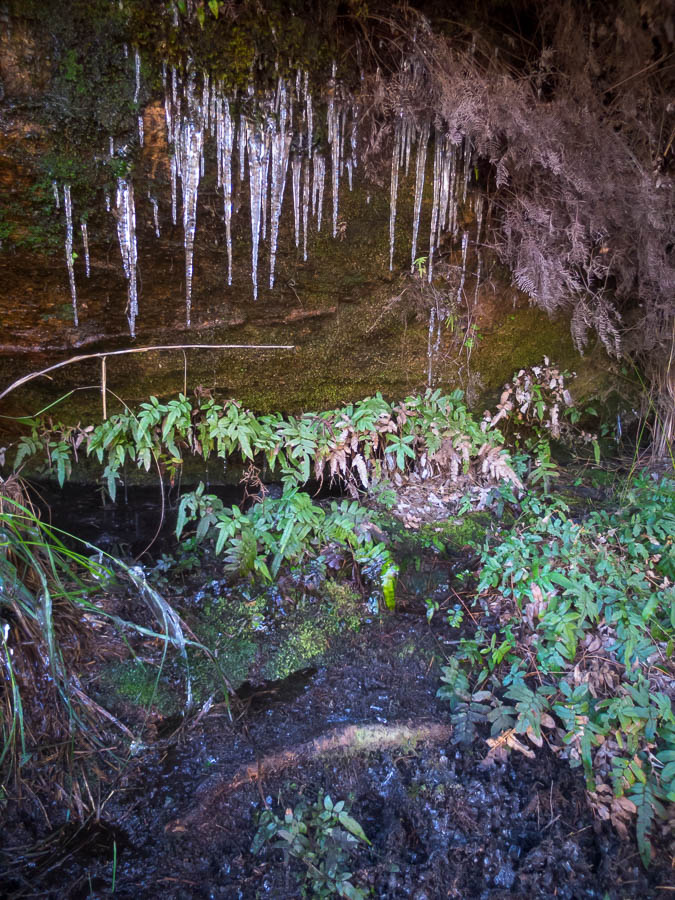
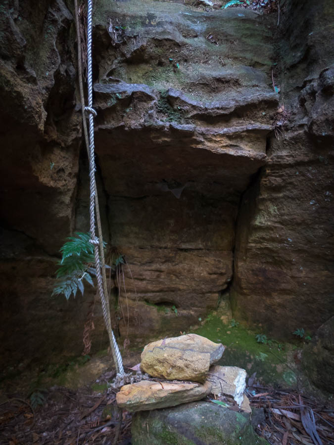
Camp below Mt Mumpu (if you look carefully you can see the cave)

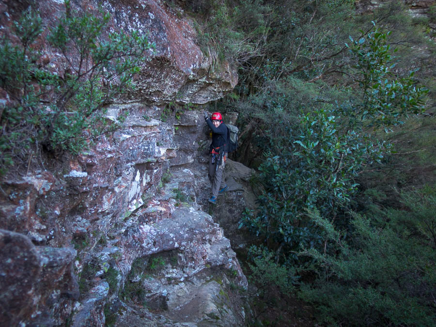
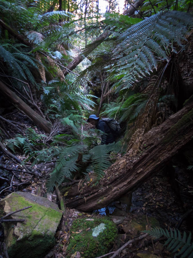
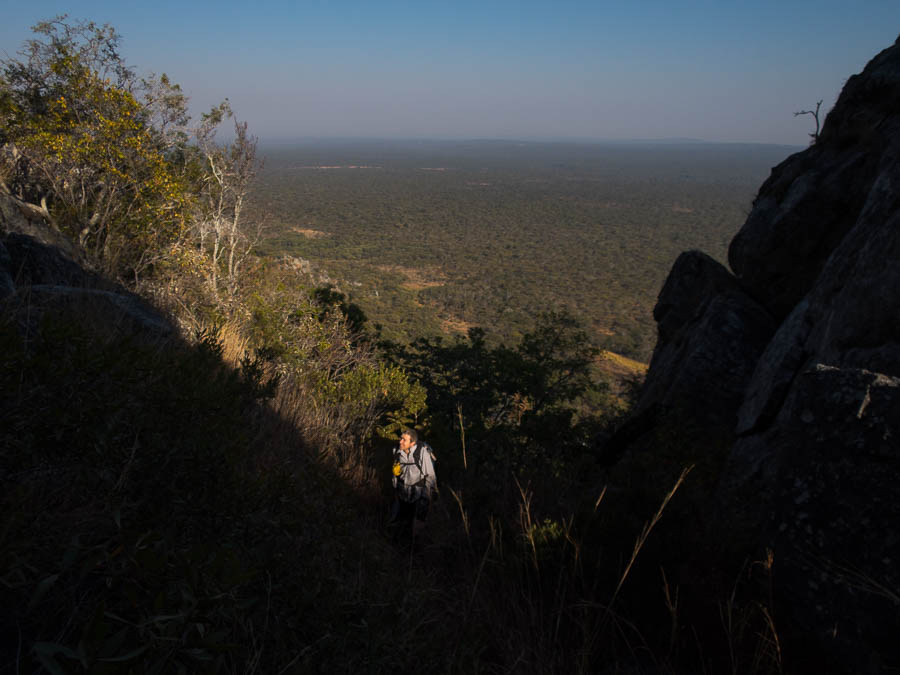
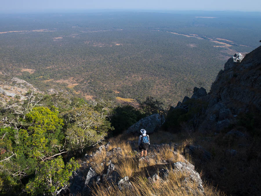
Tom was so worried about the car and out of control grass fires he wanted to bail straight back to the car. I was having none of it. So shortly after 7:30am we left camp on our way up Mt Mumpu. It looked exactly like the photos from 1994 🙂

IMG_2976

On our way to Mt Mumpu

IMG_2977

Starting to get steep

IMG_2983

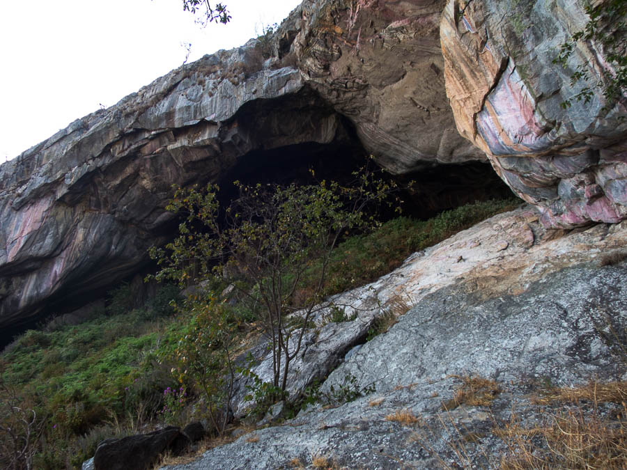
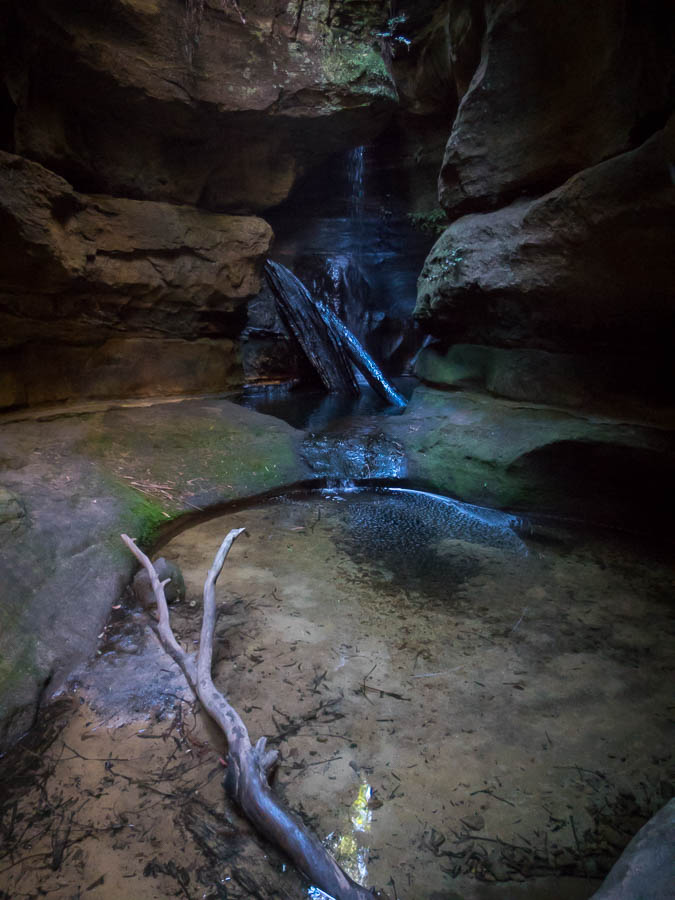
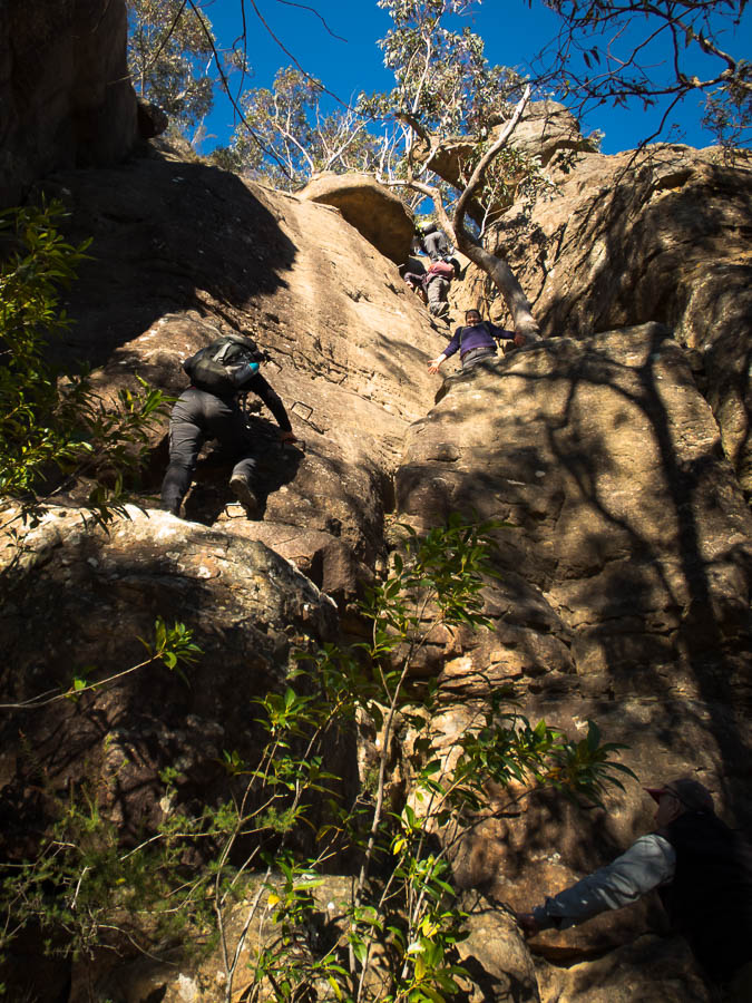
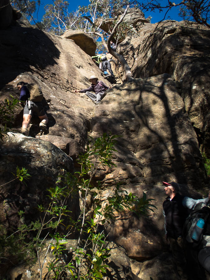
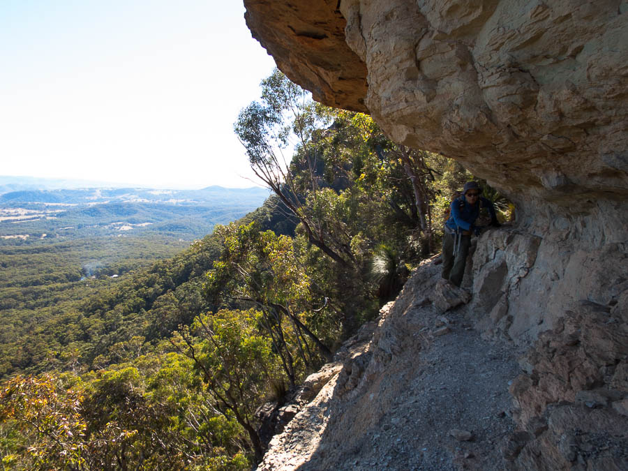
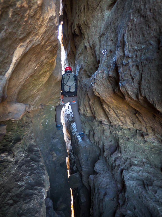
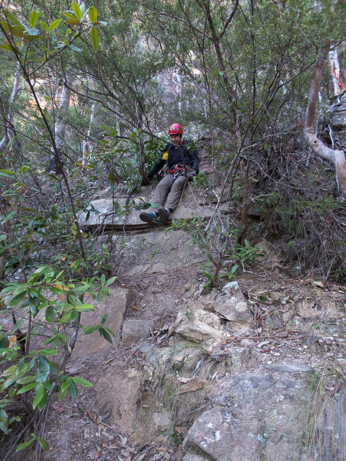
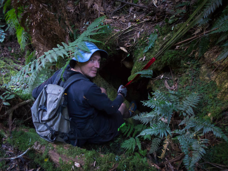
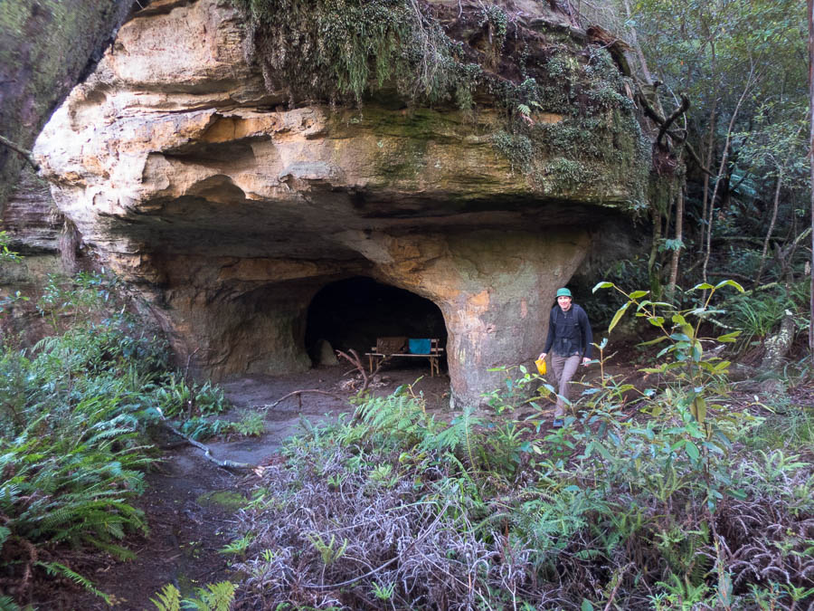
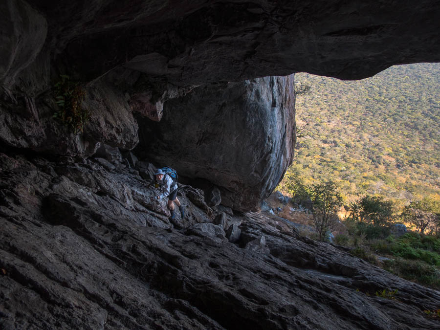
The mouth of the cave

IMG_2984

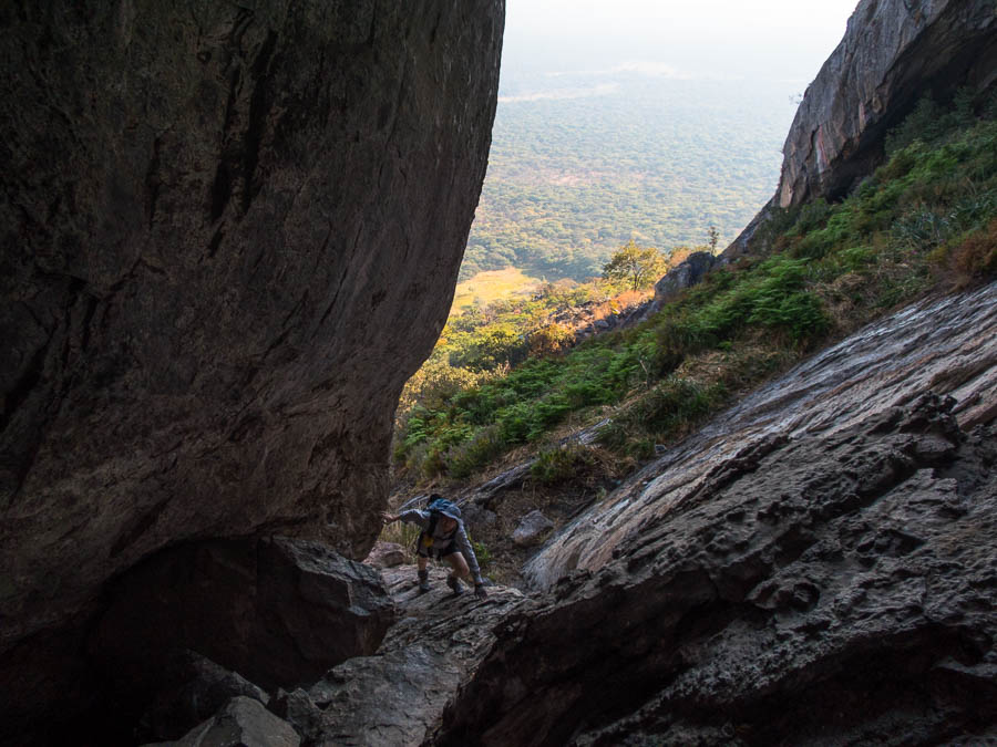
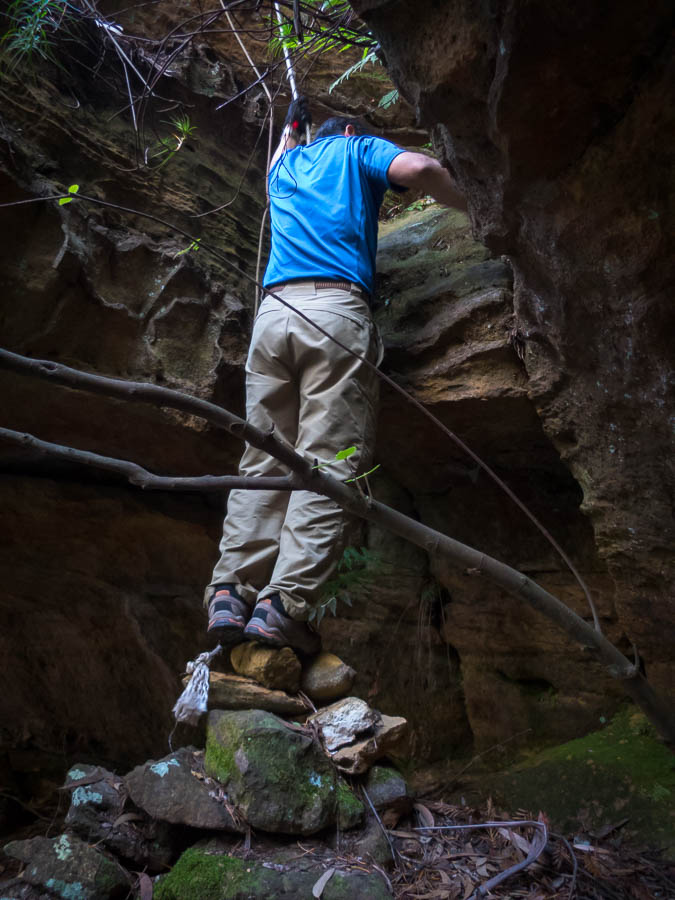
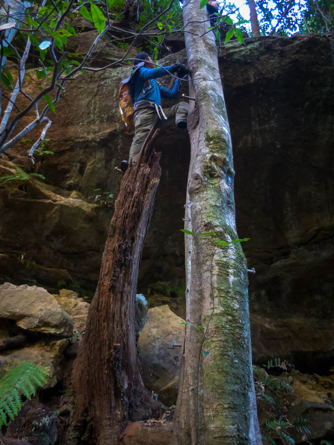
A bit of scrambling keeps things interesting

IMG_2988

Bat guano. Mmmm.

IMG_2989

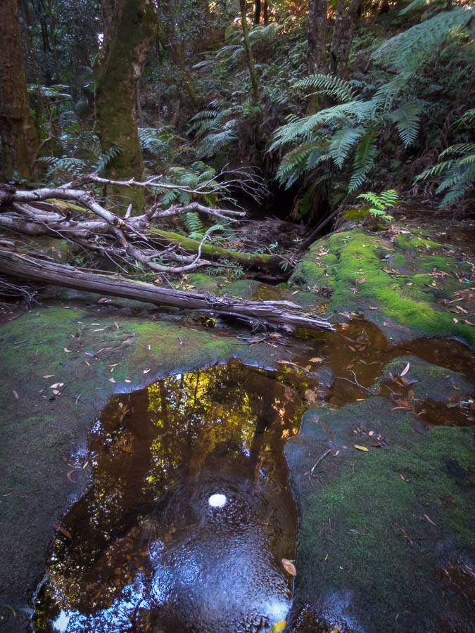
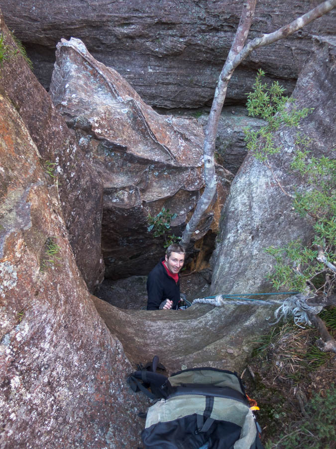
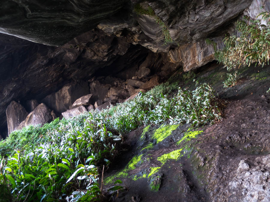
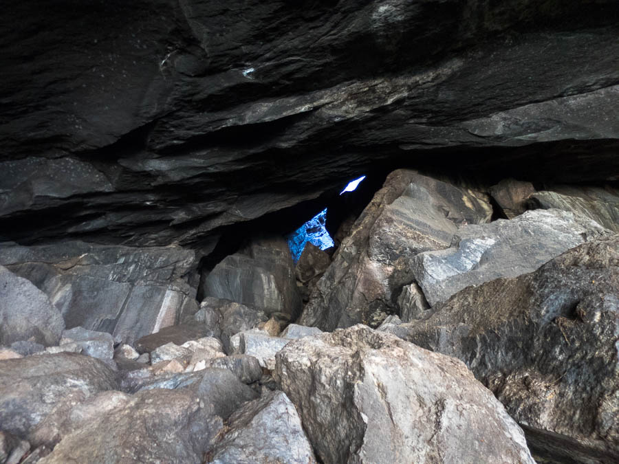
More scrambling in the cave

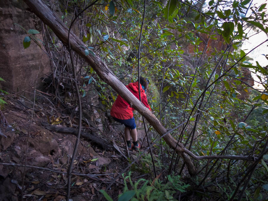
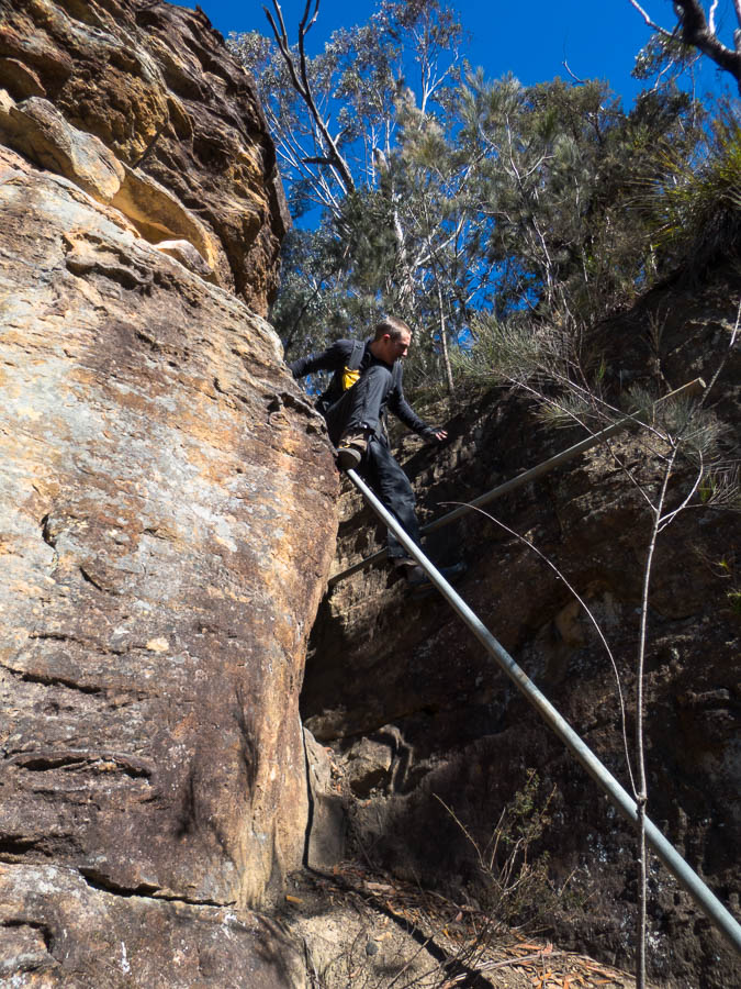
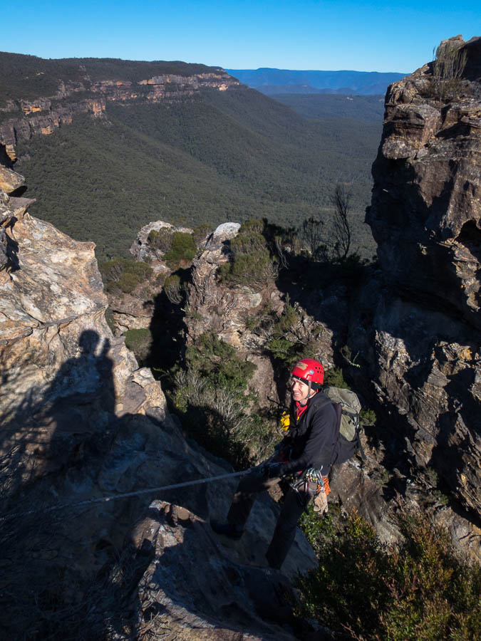
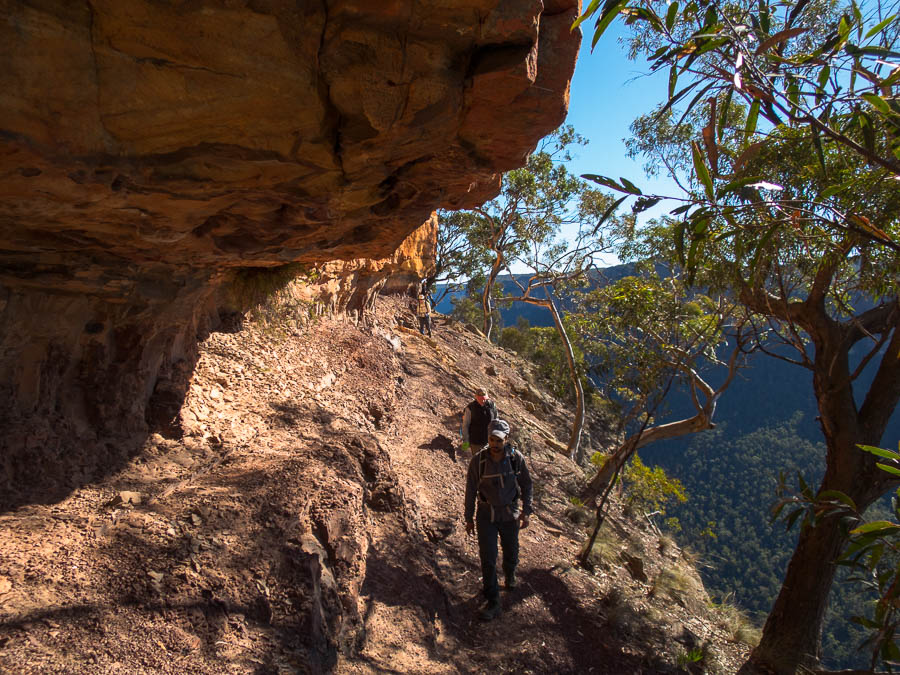
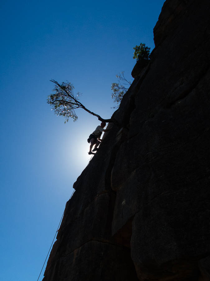
The section up through the cave was trickier than I was expecting. But then I realised most of my memories from the 1994 trip were just based on the photos and video. There was quite a lot of scrambling, a bit of pack passing and some grunting from Tom as we squeezed through a couple of the smaller holes.
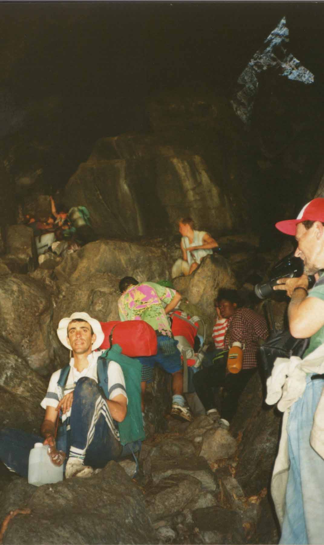
mumpu5

In the cave in 1994

IMG_2994

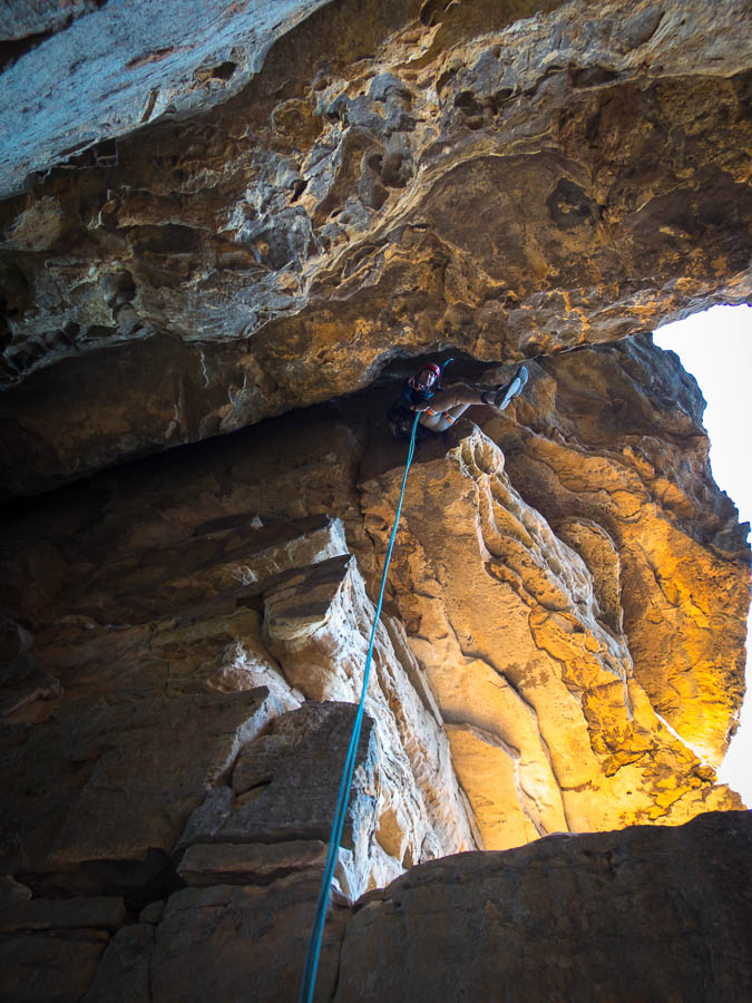
I can see the light!

IMG_2995

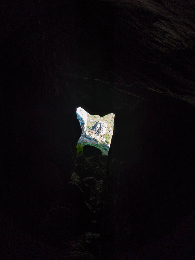
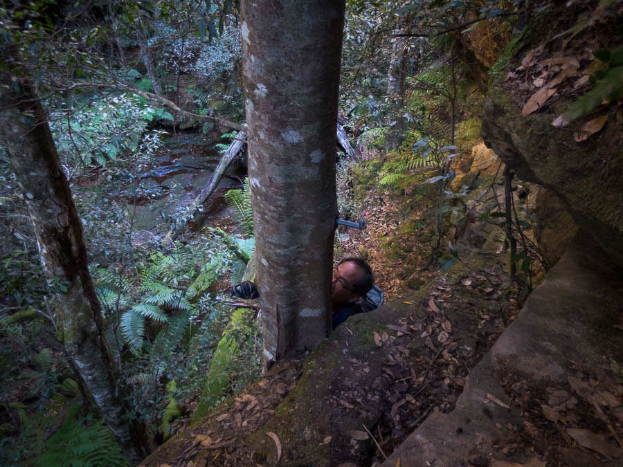
Looking back through the dark section

IMG_2997

Tom emerging from the dark, squeezy section

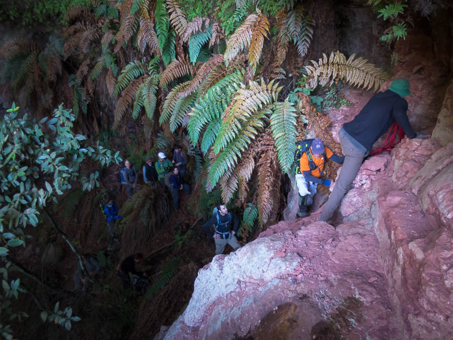
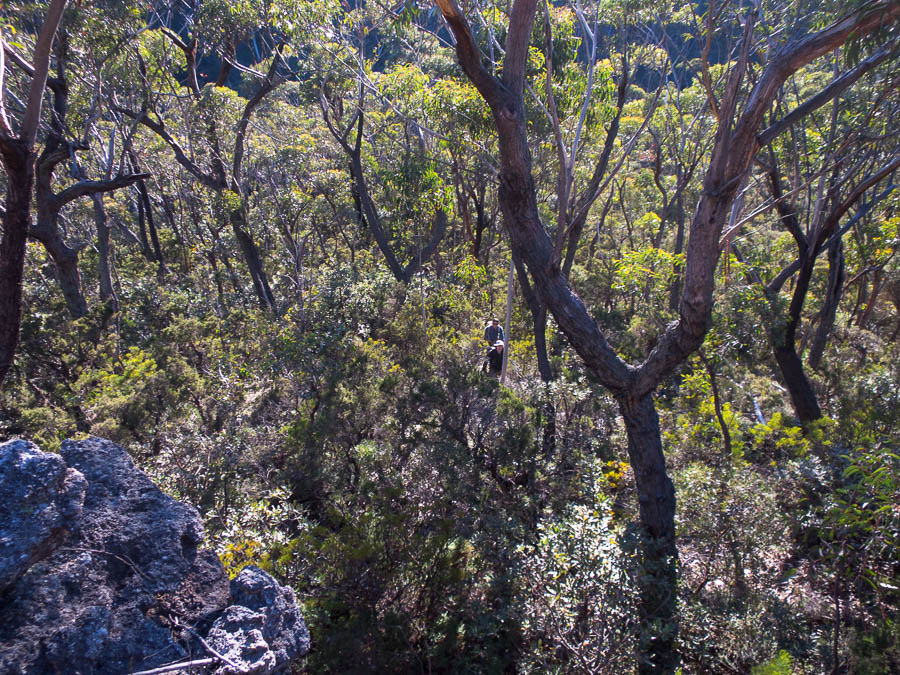
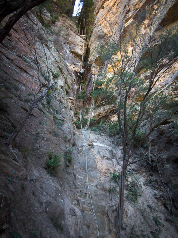
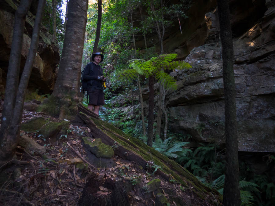
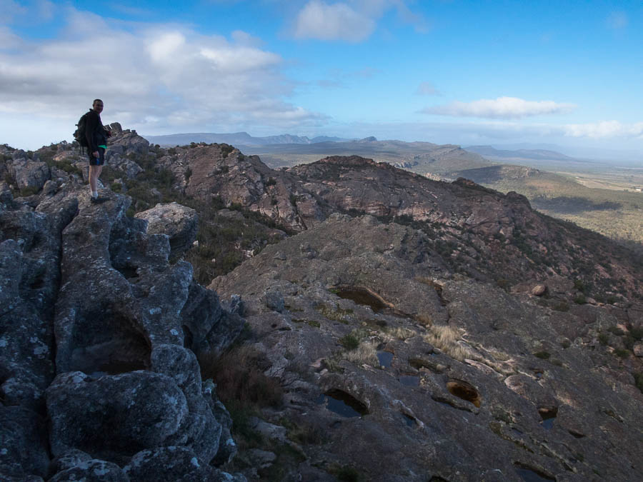
Once through it wasn’t quite over, we had to find our way out on to the ridge, disturbing some baboons who were quite vocal in their displeasure but soon headed off.

IMG_3000

Taking in the views

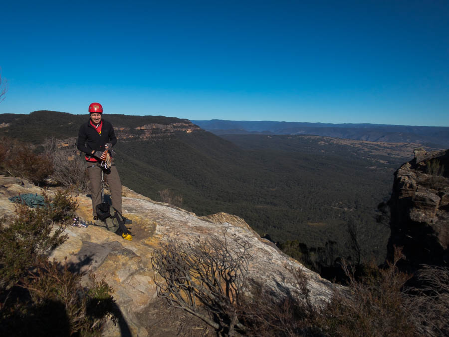
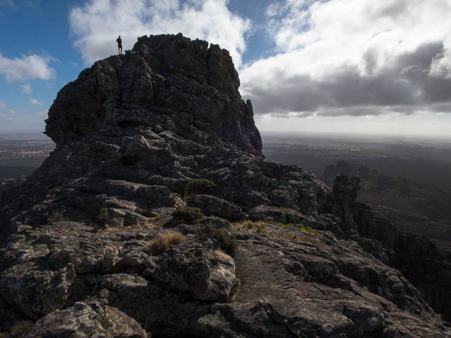
There was still a bit of work to be done to get to the summit. We arrived at 9:30am – 2 hours after leaving camp.

IMG_3006

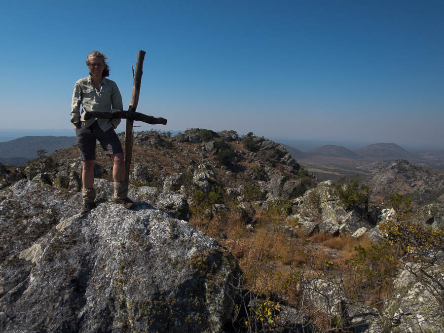
The trig has been pushed over, with a cross in place at the summit now

I was hoping to somehow recreate the summit shot from 1994 but the Trig which had existed then has been pushed over hit by lightning.

mumpu6

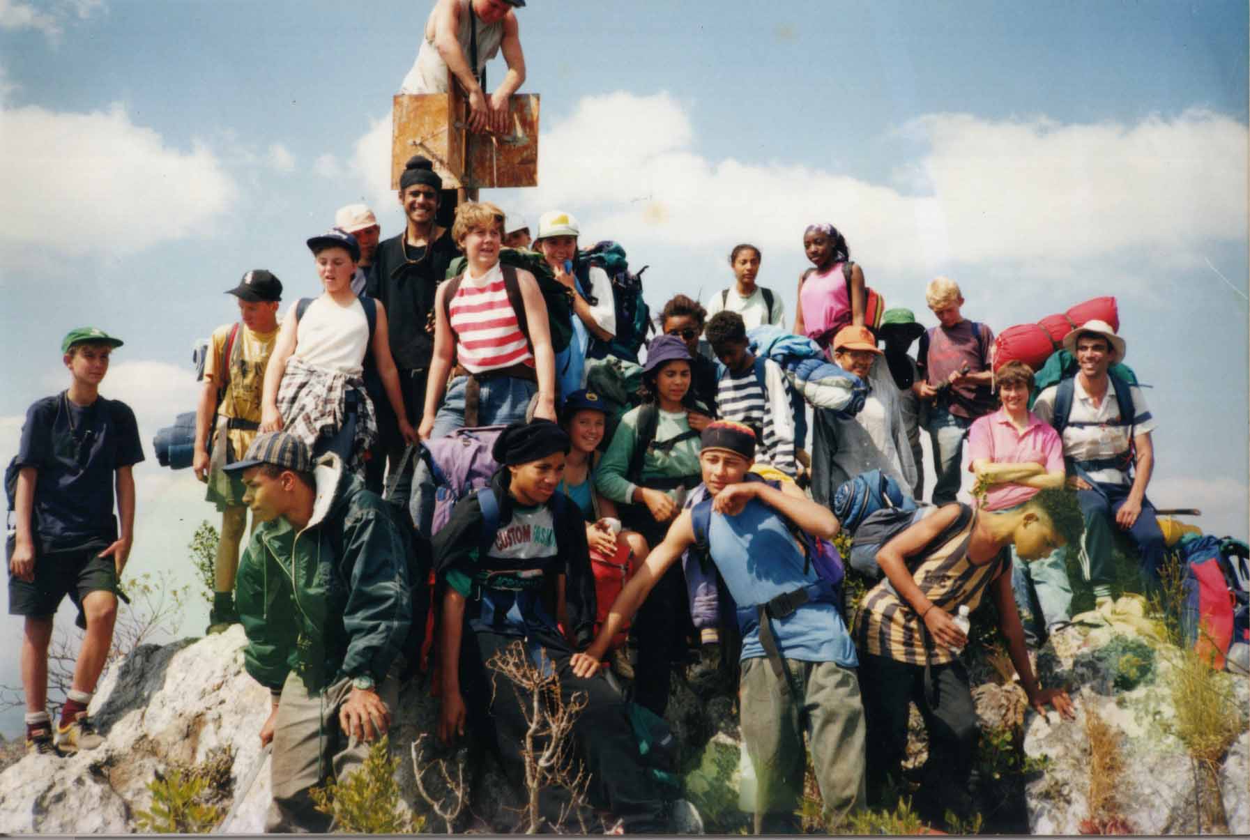
The 1994 summit party (I’m in the middle in the red/white striped top)

IMG_3007

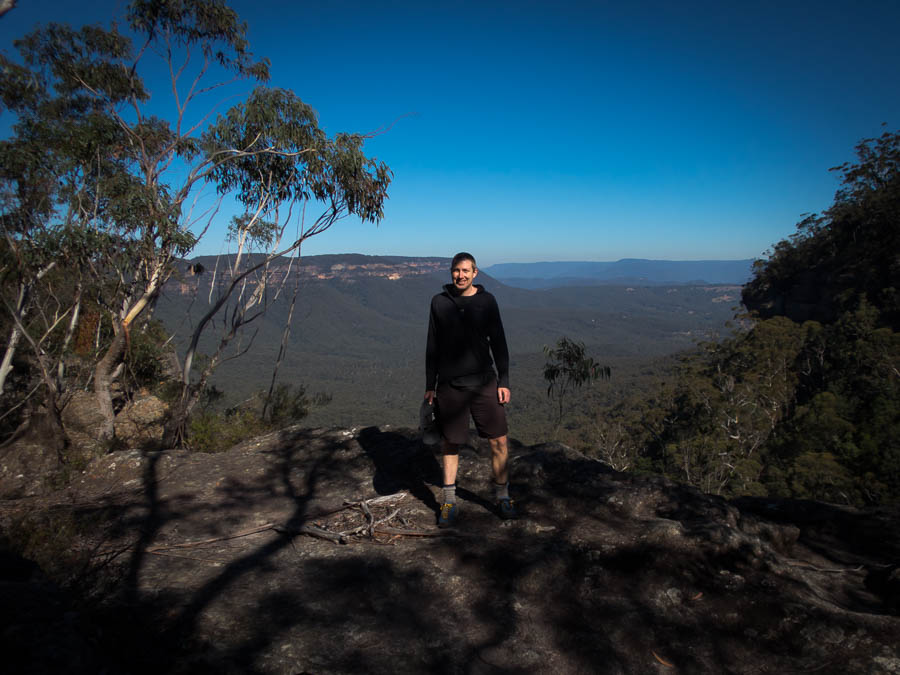
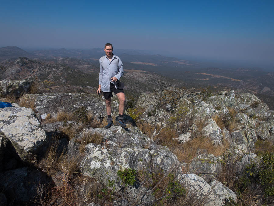
The 2018 version – standing on the original trig spot

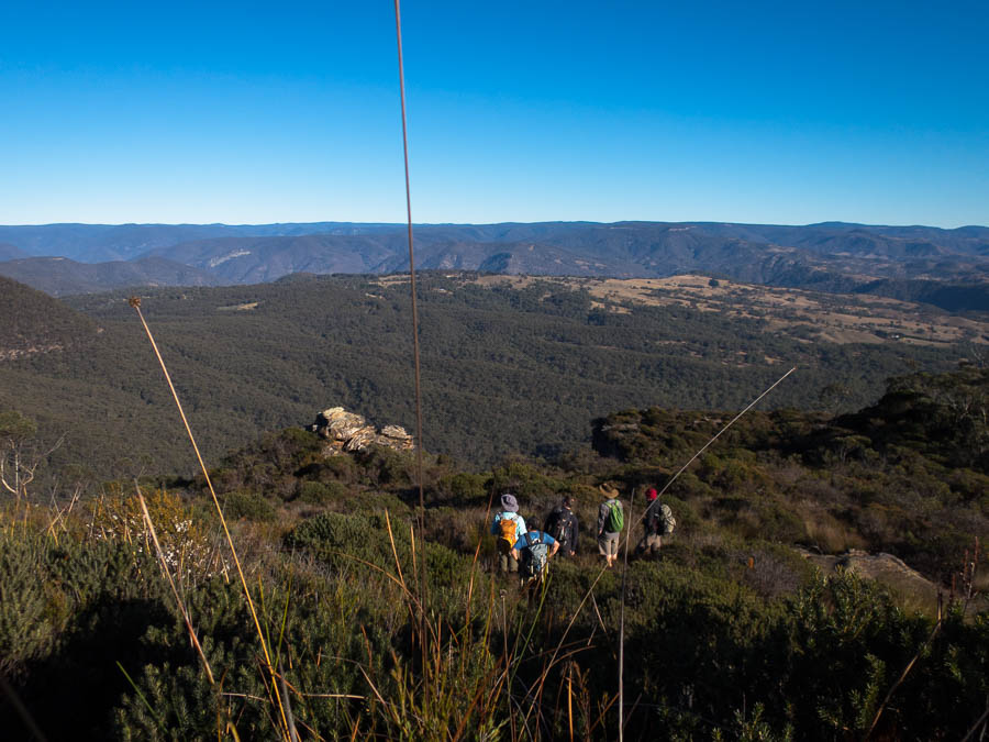
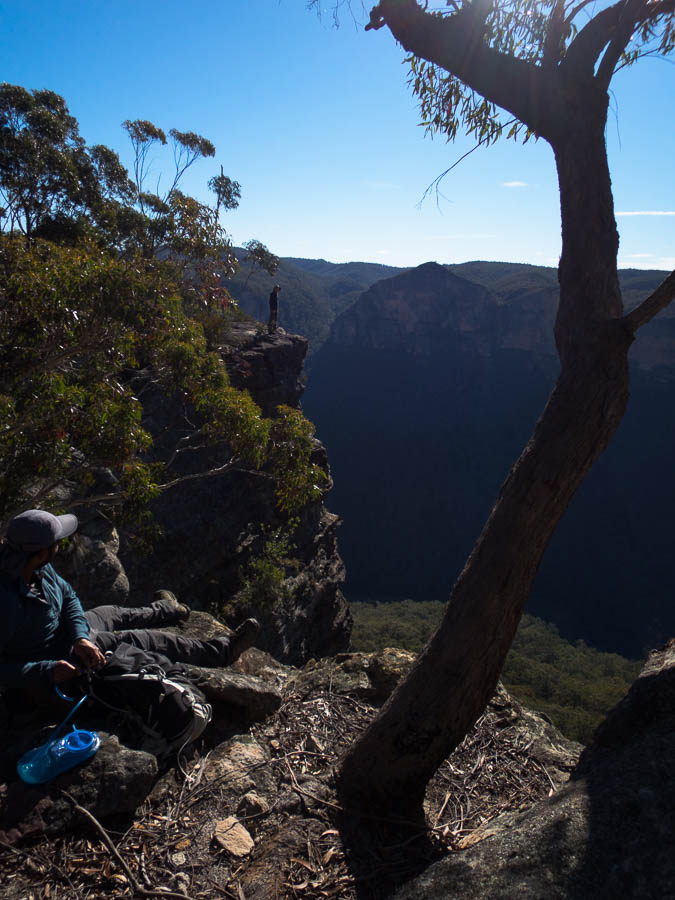
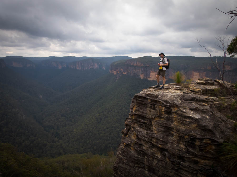
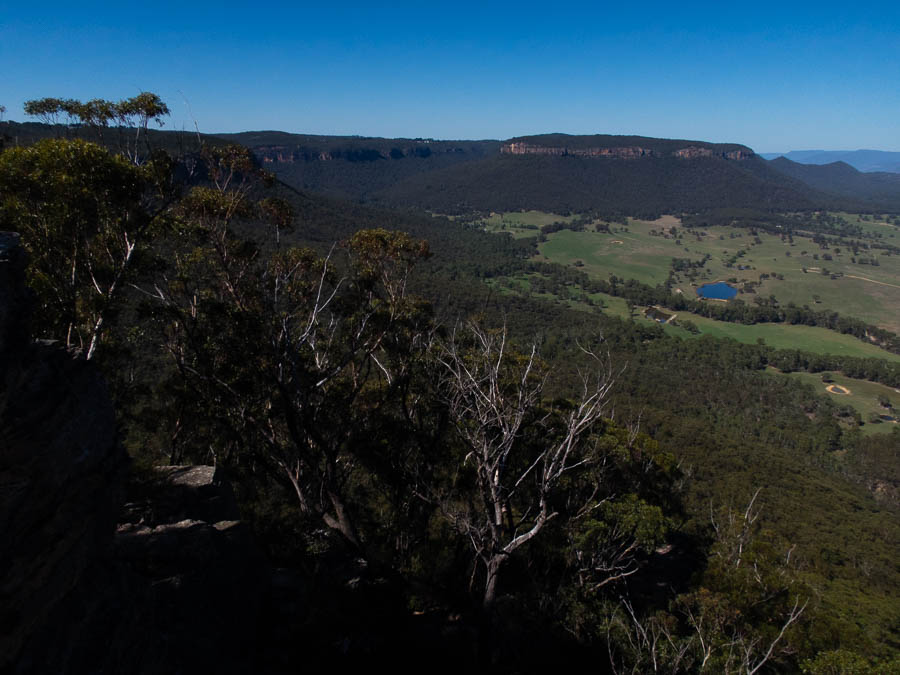
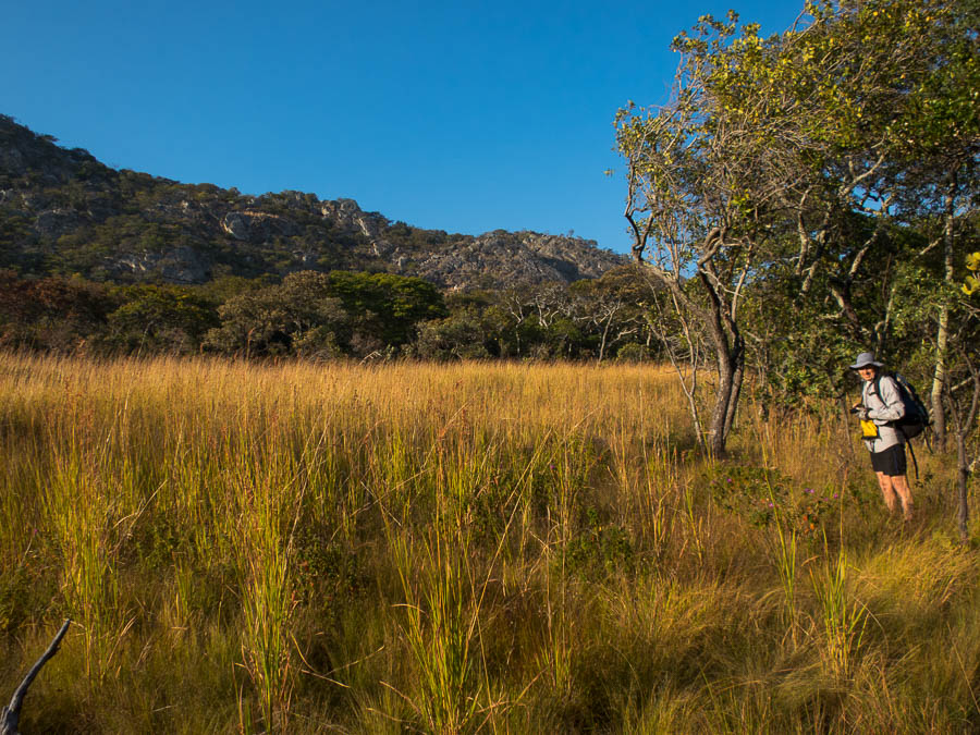
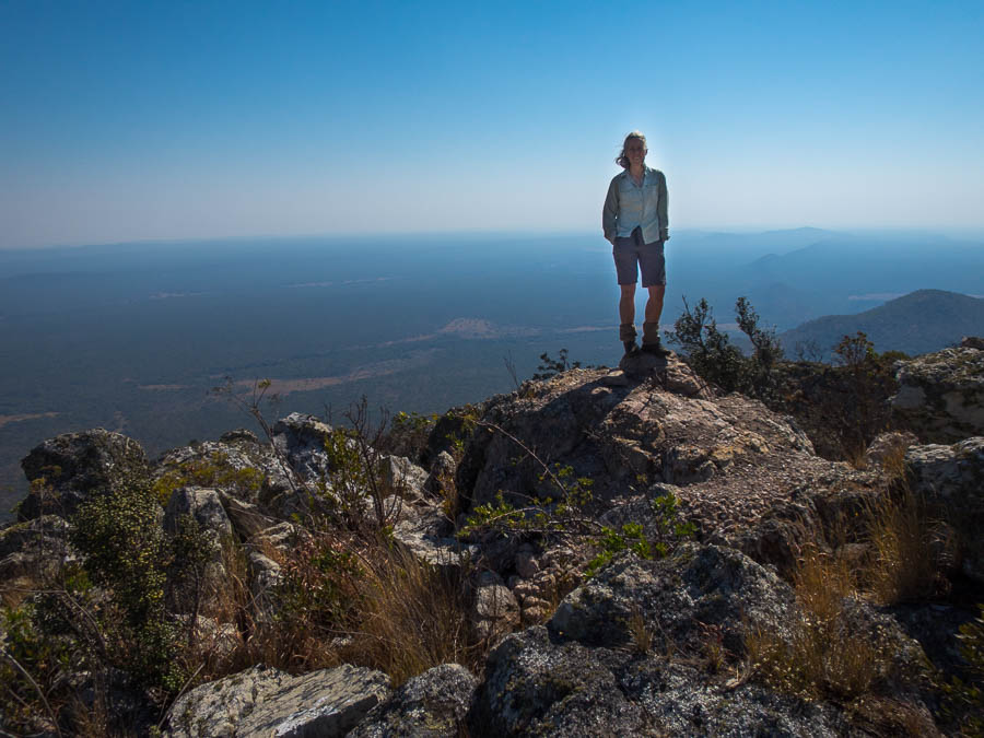
We enjoyed the views for a while before heading off the other side.

IMG_3008

Tom with views of the Irumi Hills behind

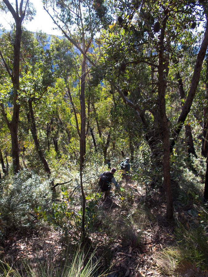
We picked our way down another ridge and found the walking similar to The Kimberley region in Australia. Spinifex-like grass which was slow-going at times, or fast if it had been burnt out.

IMG_3012

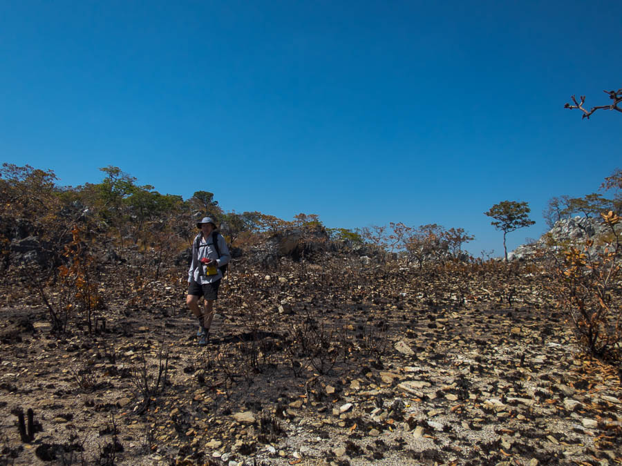
Easy walking through some of the burnt out areas

IMG_3014

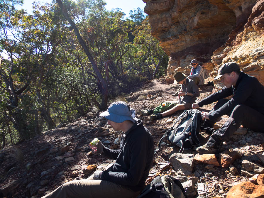
Enjoying lunch in the shade

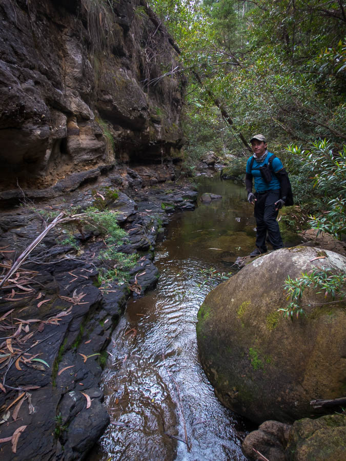
Other than deciding to go through a swamp for about 200m at the bottom of the ridge we descended the walking was very pleasant. We picked up the fire trail we’d come in on a bit further along and were back at, a now empty, campsite by 2:30pm.

IMG_3017

Back on the fire trail

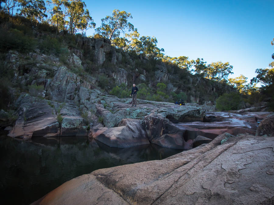
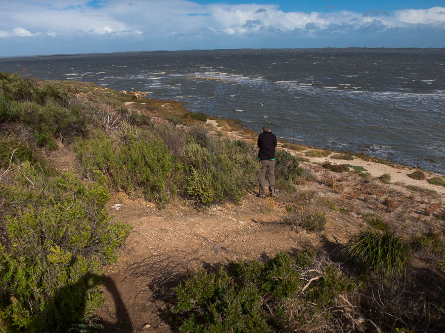
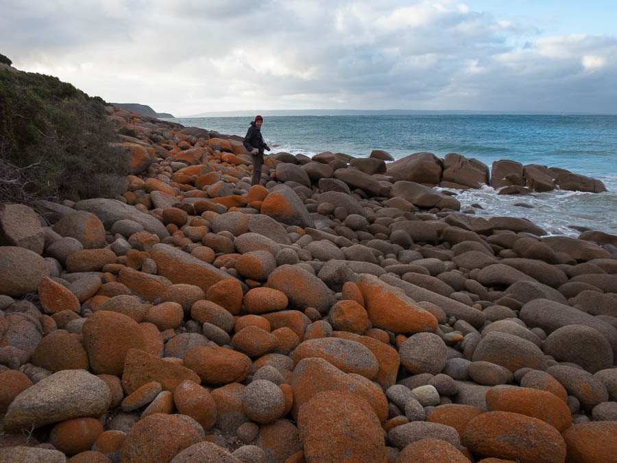
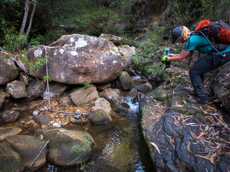
We hadn’t actually been down to the Falls when we’d arrived the previous day. I didn’t really remember them, other than in 1994 I knew we’d swum there. They are stunning. Again we could have been in The Kimberley. We had a good wash, though didn’t stay in too long as the water was brisk. Unfortunately the annoying flies found us and eventually I beat a retreat to the tent.

IMG_3021

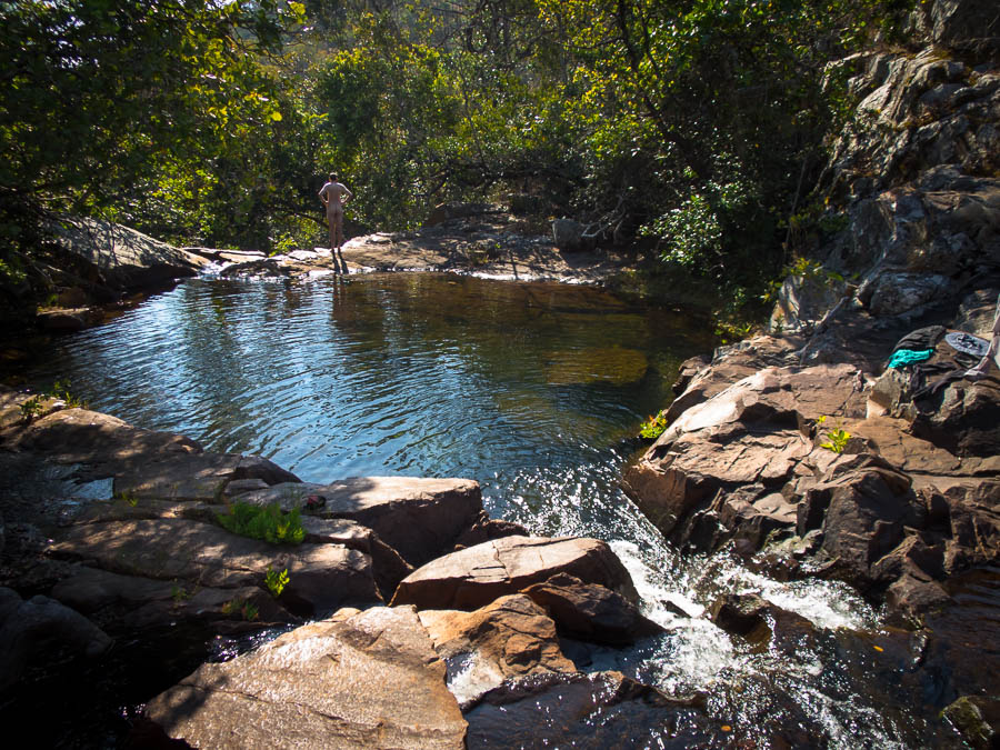
Enjoying a well-earned swim at Changwena Falls
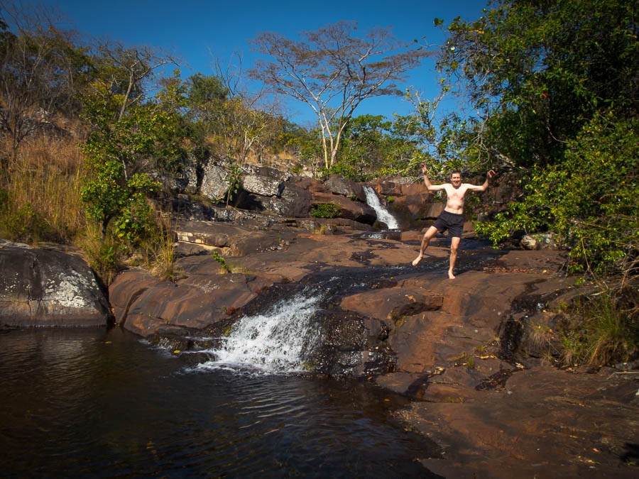
IMG_3022

Tom ‘posing’…

mumpu1

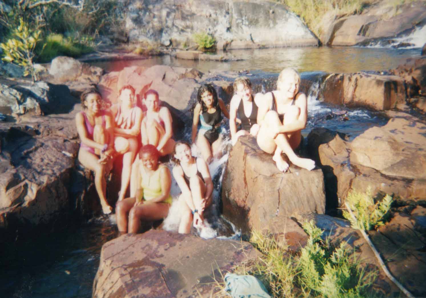
Some of the 1994 contingent enjoying Changwena Falls

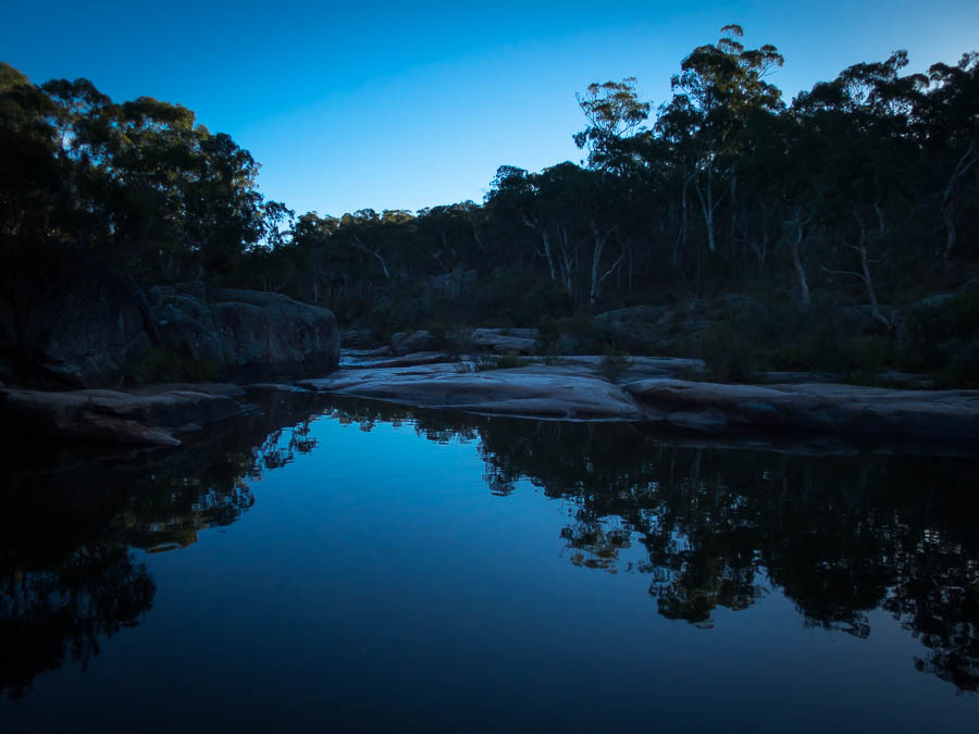
We had a pleasant night around the campfire. I was surprised at the amount of rubbish that has been left around camp – Mr Solomon would have had our heads! I cleaned up most of the toilet paper and foil in the fire, but don’t think I got to everything.

IMG_3026

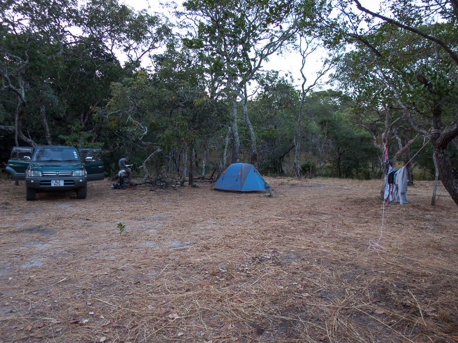
Camping at Changwena Falls

On the drive out we discovered the back of the sign was very clearly lettered! So if driving out there and in doubt – have a look at the back!

IMG_3027

The back of the sign

A fun trip, though going up the cave was a bit harder than I was expecting – quite impressed by my 14-year old self!


See the later part of the trip here: Lower Zambezi

Avoiding the wind! (7-8 July 2018)

With Friday off work I was keen to make use of my three day weekend however I didn’t get any takers for a full three days of activities. On Friday afternoon we hatched a plan with Toni & Smiffy to go out to Red Rocks for the weekend. I was all packed to go and then Tom & I headed into Blackheath about 6pm. Two minutes out of the car to go to the grocery store had me doubting the sense in our plan! The wind was bitterly cold, I think the BOM had the apparent temperature at -5°C and that was only the early evening. I’m not sure how much convincing Toni & Smiffy needed but it didn’t take that long to get agreement via text message to convert plans into day trips.

I’d been wanting to do Orang-Utan Pass for a while but Tom had been resisting my suggestions. It seemed like a good option for the day as it was on the East side of the ridge keeping us out of the 50-60km/h westerly wind. Unfortunately Toni’s gaiters ended up at our house instead of in the car so she bravely forged on with bare legs despite knowing we were likely to encounter a fair bit of lawyer vine. I didn’t take a heap of photos as the bulk of the day was either bush-bashing or else on the Grose Valley track to Perrys Lookdown which we’d walked several times recently.

IMG_2848

Smiffy photographing Tom crossing the crux of the route

IMG_2849

Tom carefully easing his way across the small ledge

IMG_2852

The logbook. A bit more traffic in 2018 compared to previous years (average seemed to be about 1 trip per year since it was placed in 1990)

IMG_2854

There was still plenty of route-finding to come

IMG_2860

Toni at the one spot we used the tape

We were happy to get back to the house and get the fire roaring. Sparkling red, cheese, and later on a delicious chocolate mud cake made for a pleasant evening inside out of the wind.

The next day the incentives for getting moving weren’t high as we could hear the wind buffeting the house. Eventually we settled on Jugglers Canyon since Toni hadn’t done it, and Tom thought it would be out of the wind.

IMG_2867

Toni on abseil

For the record Juggler still gets plenty of wind.

IMG_2870

The snaparazzi!

IMG_2873

Toni abseiling

We took a different route out from our usual one. I was quite surprised to find some handrails!

IMG_2875

Tom handrailing 🙂

IMG_2877

Toni coming up the handrail section

Since we’d started quite late it was unsurprising that it was well and truly lunchtime by the time we got back to the cars. We had lunch in Katoomba, the enthusiasm for post-lunch activities was limited so we called it a weekend at that. A satisfying one despite the bout of softitis that kept us inside overnight 🙂

Colliers Causeway (15 July 2018)

With overnight lows forecast of -5°C it wasn’t surprising there was quite a lot of ice about when I walked the Porters Pass – Colliers Causeway – Centennial Glen Creek track!

IMG_2908

Roadside frost

IMG_2924

Centennial Glen Creek

IMG_2928

The Grotto

IMG_2930

Icy winter wonderland

IMG_2931

Ice antlers

IMG_2932

Ice bubbles

IMG_2935

Icicles


Dunphys Pass & Tarros Ladders (14 July 2018)

The day dawned cold and still which was a relief compared to the 60km/h winds that lashed the area on the previous weekend. It was so cold that the surface of Megalong Creek at the Old Ford Reserve was sheets of ice when we drove past! The sun was out and provided warming comfort as we did a round of names at Dunphys Campground.

We set off with a steep climb up the Bellbird Ridge Firetrail. It wasn’t long before we reached the spur leading up to Glenraphael Head. A few layers came off and then we were off into the bush. The initial spur is easy off-track walking but once we’d got to the steep section below the cliffline we were thrust into a whole new world of scrub. The scrub combined with loose rocks underfoot slowed our progress but eventually we made our way round to the gully containing our pass. Morning tea was taken in a beautiful, if shady, tree-fern lined gully so that we were fortified for the scrambling to come. Conveniently I don’t have any photos of the scrub bashing leading up to this point so it can’t be proven 🙂

Not having done the pass before I was not entirely sure what to expect. I’d reviewed some photos from other trips but they didn’t quite line up with what I’d imagined. I scrambled up first with the intention of setting a tape but the rock was so friable I couldn’t find anything to anchor it on. Tom then attempted a body belay but in the end most of the party scrambled up without any assistance and the remainder took the lower ledge route around.

IMG_2884

Tom & Ian looking for somewhere in the crumbly rock to put a sling

IMG_2887

Jo taking the low, but exposed, route

With the tricky bit done we were then treated to lovely views out into the Megalong Valley as we traversed around on half-way ledges. It is only after reviewing the photos back home I realised we didn’t sign the log book! (though Tom tells me he did briefly look for it and didn’t see it)

IMG_2890

Happy campers (well walkers) on the halfway ledge

There was a last section of bush-bashing to come to get out of the final gully and around Glenraphael Swamp to the fire trail. Some wombat-style crawling got us under the banksia on to the tops and then Tom managed to pick up an old pad which made things slightly easier. We had lunch at Clear Hill savouring the magnificent views over Lake Burragorang and beyond.

IMG_2892

Lovely views for lunch

After lunch we descended via Tarros Ladders. Tom went off to explore the Wallaby Track (successfully) so he got to do Tarros Ladders twice. The rest of us enjoyed the bush track over Mt Debert in the mid-afternoon sun.

IMG_2893

On our way to Tarros ladder (not to be confused with the ladder in the photo)

IMG_2895

Tarros Ladder

IMG_2897

More Tarros Ladder

From Medlow Gap we just had a 9km firetrail walk back to the cars which went very quickly, probably due to the number of animated conversations. We got back to the cars at 4:30pm just in time to see the stunning blazes of colour on the cliffs as the sun was on its way to setting.

IMG_2904

View of our route for the day, from the point below the cliffline, around to the first gully, up on to the halfway ledger, around a couple of gullies, up onto Narrow Neck, out to the end and down Tarros

Back in Blackheath half of us enjoyed some hot chips and a beverage at the Gardners Inn. A wonderful winter’s day in the bush with a great group.

Rockpile & Mitchells Pass (1 July 2018)

We got the new financial year off to a good start with a fine adventure off Narrowneck. Probably a bit more excitement and bush-bashing than originally expected. Tom had previously attempted Rockpile Pass and failed, so he was hoping to knock it off this time.

IMG_2815

Enjoying the views on another wonderful winter’s day

Supposedly the hard bit was after the rockpile but we didn’t manage to locate the rockpile to start with and ended up traversing around into the next gully (with plenty of delightful banksia bashing). Once below that set of cliff lines we were soon back around at the rockpile which we’d missed coming down to – very obvious from the bottom!

IMG_2820

The rockpile

IMG_2821

Stanley checking out the route

IMG_2822

Morning tea in the sun

After morning tea we found the rest of the pass (where Tom had got turned around previously). There were some fixed lines in place which made it pretty obvious where to go. Much to the horror of the rest of as the last person in our party was descending there was a noise you never want to hear. We were round the corner out of site (and out of danger of rockfall) so didn’t know what had happened except it sounded bad. The fixed line had completely severed sending Jon flying. Fortunately asides from some bruising and a heavy landing on his ankle he was ok. We still had a second drop to negotiate but we were much more circumspect about using the rope that was there (and is no longer).

IMG_2827

Climbing up a slightly sketchy slab (which we later had to reverse)

IMG_2829

A very exposed shale ledge traverse (which we later had to reverse)

After getting through the pass we followed along the upper cliff line, over a series of obstacles, until we got to a drop we could get past. Oops. So we had to reverse everything we’d done for the last half hour or so. Then we had a decent chunk of off track under the cliff lines, broken by lunch, around to Mitchells Creek.

IMG_2832

Pretty Mitchells Creek

Mitchells Pass is an interesting pass! There are a series of giant spikes in a tree. The spikes are not in particularly convenient positions and the higher you get the more awkward it gets. We all negotiated it with no issues fortunately.

IMG_2835

Scott on Mitchells Pass

IMG_2839

Stanley near the top of the tree

From there we had some quite unpleasant bush bashing up Mitchells Creek. Eventually Alex pioneered a route out of the creek which got us on the tops quite nicely.

IMG_2841

Climbing out of Mitchells Creek

IMG_2842

Almost at the top of the ridge

Once we attained the ridge it was only a couple of hundred metres back to the firetrail. We managed to time our return to the cars right on sunset. An interesting and challenging day out. There was mutterings of needing 10 years for the memory to dull and think of a repeat trip!

Boars Head (24 June 2018)

It had been 13 years since we’d last done Boars Head and with a still, sunny winter’s day upon us it was a perfect opportunity to revisit. My memory of the previous visit was a windy precarious position which I didn’t enjoy very much – it was pretty early in my outdoor adventuring days though.  The track work leading out to Boars Head is pretty impressive – presumably the efforts of the local climbers.

IMG_2790

Tom on a perfect winters day above the first drop

IMG_2793

Tom on the first abseil

As I was preparing to abseil a couple of climbers arrive. After exchanging hellos one of the guys thanked us for efforts with the website and how much he’d used it over the years. I was a little taken aback – not that I don’t get recognised from Tom’s photos – but it normally takes more than a few seconds! I guess I was in the position I’m likely most photographed in – going over the edge of the abseil, with my helmet complete with name tag on!

IMG_2794

Tom traversing around to the slot

IMG_2796

The somewhat precarious slot

IMG_2803

Tom exiting the slot

IMG_2808

The 4th (?) abseil

IMG_2809

Tom on our final abseil

IMG_2813

Now how do I get down from here?

We had a bit of an explore above Devil’s Hole before enjoying a late leisurely lunch in the sun. A beautiful day in the mountains.

IMG_2814

Not sure about that rope…


Blue Mountains adventuring (May/June 2018)

While we haven’t been doing a much walking as we usually do we have managed to knock off quick a few shorter walks around the mountains across May and June. A selection of photos from the various adventures below.

Bottleneck Pass – 26 May

IMG_2731

Tom above Bottleneck Pass (once we found it!)

IMG_2737

Hmm, this wasn’t what you described to me

IMG_2740

Closest we’ve come to canyoning in months

IMG_2741

Are you sure that’s a good idea?

IMG_2745

Well, that was a bit of an adventure

IMG_2748

No sign of the Pherosphaera fitzgeraldii?

Perrys Lookdown – Blue Gum Forest – Govetts Leap – 2 June

IMG_2753

Moody Mt Banks at the start of the walk

Popes Glen – Evans Lookout – Rodriguez Pass – Perrys Lookdown – 10 June

IMG_2765

Could almost be the Kimberley?? If only we added 20°C 🙂

IMG_2768

Fog rushed in at the end after what had been a lovely day (if cold)

Ross Cave – 11 June

IMG_2770

If you had to live in a cave it wouldn’t be a bad one

Hyde Park Reserve – 11 June

IMG_2775

Another almost Kimberley-esque spot

IMG_2776

Evening light

Browne’s Path – 23 June

IMG_2782

Heading off track

IMG_2785

Come on Tom you can get closer to the edge that that!

IMG_2786

Browne’s Path

KI and getting there and back (May 2018)

We hadn’t done a road trip in our own car since 2005. After winning the bidding at a charity fundraiser for a couple of nights accommodation on Kangaroo Island we had some planning to do. Discarding thoughts of flying we realised we’d be able to go to our favourite wine region in Australia – Rutherglen, visit the best climbing in Australia – Arapiles, and get to a not-easy to access wine region – Coonawarra. Add in visiting friends in Adelaide and the plan had legs.

KI_route

We started off with a night in the nation’s capital visiting Laina & Ross. This conveniently broke up the drive to Rutherglen. We hadn’t been to Rutherglen since our Sydney-Perth road trip in 2005. There had been a lot of talk about getting back here but with it being just a bit far for a weekend from Sydney it hadn’t happened. Needless to say we were pretty excited to be here!

rutherglen12

The sign says it all really

rutherglen3

Tom with some of the line up at Chambers

We started off at Morris, then took advantage of Chambers being walking distance from our accommodation to squeeze in a tasting before closing time. Chambers hasn’t changed much over the years and is the only cellar door I’ve ever been to where you self-serve.

The following day I insisted we hire bikes to cycle around the wineries. I was acutely aware that unlike most of our holidays exercise was not front and centre – we needed to do it when we could otherwise we were going to come back lard balls! So we hired bikes and set off to Anderson Winery. Then we came back into town and joined the Murray to the Mountains rail trail. Rutherglen is very flat so the cycling was easy – which was just as well because the hire bikes were not very comfortable!

rutherglen9

Mountains to Murray railtrail art

Second stop was All Saints, followed by a platter next to their lake in the lovely autumn sunshine.

rutherglen8

Recovering at All Saints after a couple of big tastings

rutherglen13

Rutherglen sunset

Last, and furthest away, was St Leonards next to the Murray River. After tasting we did a short walk down to the Murray behind the cellar door. From there we just needed to ride back into town – around 10km. Normally this would be pretty easy but not being quite the right fit for the bikes we had two different approaches – Tom’s was to ride as fast as possible to minimise the amount of time on the bike, mine was to amble along to avoid putting too much stress on my various body parts. Given this it was unfortunate we turned too early and ended up adding another 2km to the route home! On the plus side the weather was gorgeous all day and we were treated to a lovely sunset as we rolled into Rutherglen.

The next morning we decided one last winery was in order on our way out of town so we spent a couple of hours at Campbells which was excellent. Despite Arapiles being a key part in our planning process it became apparent it wasn’t the best destination for us. We’d been climbing regularly in the lead-up and I was excited to see if I would enjoy this visit more than our short-lived one in 2005. However with strained fingers, sore wrist and slipped rib between us we concluded going to Araps would sadly be a waste of time. Instead we headed to the Northern section of the Grampians. We arrived on dark so didn’t get a chance to do any activities the day we arrived.

IMG_2519

Tom on Mt Stapylton

The next day we were able to do a great bushwalk up Mt Stapylton. The signage has said it was a difficult walk and I was questioning the grading, but the final section to the summit did involve route-finding and scrambling.

IMG_2524

views over The Grampians

IMG_2527

Tom on the summit ridge, Mt Stapylton

After our jaunt up Mt Stapylton we did a short walk to an Aboriginal art site – Gulgurn Manja for lunch. Tom as always wanted to go exploring, mainly to find out where all the climbers must be from the cars in the car park. And so we found ourselves in Summerday Valley. This would been the perfect crag for us, or even for me to do some top-roping, but mentally I was already on the road to the Coonawarra so we didn’t stick around. Hopefully we’ll return another time as the Northern Grampians looks like somewhere you could potter around for a few days. Soon we were driving through Horsham when the car didn’t feel right. I pulled over only to find that the back tyre was completely flat. Well… if you’re going to get a flat tyre then the middle of Horsham mid-afternoon, almost over the road from a tyre place is probably the best you could ask for.

horsham

Tom trying to locate the same brand tyre to replace the one we could no longer use

The tyre got fixed but then a small bulge was noticed (I’m sure there was a technical term for it) that was a weakening in the tyre wall and too dangerous to drive on… so we had to buy a new tyre. And that all took longer than it should of because the guys at the repair place couldn’t read my writing so couldn’t call us to tell us what was going on! Eventually we were on the road to Coonawarra resigned to not getting any wine tasting in… until we realised that with the time change from going between Vic and SA made it 4:30pm and not 5pm! Bonus. A quick stop at Rymill was excellent. The weather set in over night with heavy rain and wind making us very glad we weren’t camping!

The next day was all about wine-tasting. We didn’t think we’d get through more than 3 after our Rutherglen experience but the wine lists were generally much shorter, and we weren’t trying 12 different fortifieds at each winery, so we ended up making it to 5: Balnaves, Majella, Wynns, Patrick, Katnook. My favourite was Majella.

IMG_2536

Tom outside Katnook Cellar Door

IMG_2535

Recovery coffee after 5 winery visits

The wild weather continued as we headed out of town the following day. The car was battered by the wind, with occasional bouts of hail and fairly constant rain. Arguably a good day to mainly be driving? Other than the unpleasant driving conditions…

IMG_2538

Tom in a rare sunny (but still very windy) section of the Corong

Having missed out on the Primo tasting in Sydney this year Tom insisted we detour via the Primo cellar door in Mclaren Vale. We were cutting it fine arriving not that long before they closed but we managed to get the premium tasting in, as well as their fortified (The Fronti) with an espresso. Fortunately for me Tom was on driving duties through to Adelaide, where we stayed with Nic for the night.

primo1

Primo tasting

Eventually, more than half way through the trip, we made it to Kangaroo Island. The crossing was a bit choppy but I’m sure a lot better than the previous day! We started our KI adventure with the Ironstone Hill Hike. We saw plenty of Tamar Wallabies but sadly no dolphins as promised by the signboard. After driving around a bit trying to find a nice place to eat lunch we conceded defeat to the weather and headed to the cottage we’d hired for the night at Cape Willoughby.

IMG_2559

Thomas at Thomas Cottage, Cape Willoughby

Cape Willougby is the Eastern most tip of Kangaroo Island and it was super windy. We did the Heritage Walk not long before sunset. Saw some Kangaroo Island kangaroos and then I swiftly retreated inside out of the wind.

IMG_2550

Kangaroo Island Kangaroos with the Cape Willoughby lighthouse in the background.

IMG_2551

Cape Willoughby Lightstation Heritage Walk

IMG_2554

Kangaroo Island kangaroos

IMG_2556

Cape Willoughby Lighthouse

IMG_2557

When staying in a lighthouse keepers cottage of course you need themed bed-side lights

The next day had an action packed agenda so we got an early start. Our first stop was the Bald Hill Hike. This was a massive climb of approximately 25m to a small rise overlooking the Murray Lagoon. There were lots of birds around. We continued some of the way around on the Curley Creek hike before backtracking to the car as we needed to get to our next stop; the Raptor Domain. This had come highly recommended to us and it didn’t disappoint. We attended the bird show and reptile show. Both were very interactive – Tom has some much better photos from his fancy camera. The bird show opened with a magpie that had been taught to pick up rubbish and only got better.

IMG_2568

Tom with Casper the friendly owl

IMG_2580

Not sure the snakes had names

IMG_2582

But they sure were friendly

IMG_2585

This one was a real squirmer

We hadn’t sated our wildlife appetite for the day so the next stop was Seal Bay. Here we did the guided walk down onto the beach to see the Sea Lions.

IMG_2588

Sea lion

We had toyed with trying to fit in a wine tasting but decided we were out of time and headed for our accommodation at Vivonne Bay instead. Shortly after we arrived one of the other guests spotted a koala in a tree in the car park which was pretty good. But then the next morning there was a koala in a tree basically right next to the buildings. Tom was fortunate to see this guy out of the tree, having a drink and then wandering off to wherever koalas go…

IMG_2596

Doing what koalas do best

Kangaroo Island gets most of its rain over winter. So when there was a “Winter Waterfall Walk” I figured the waterfall wasn’t likely to be giving us much action in late autumn. Despite this our first activity of the morning was this walk. We saw a couple of the rare Glossy Black cockatoos as well as plenty of other birds and of course Tamar Wallabies.

IMG_2598

Tom and the winter waterfall

What got us really excited was that the wind has stopped and there was sunshine!

IMG_2601

Winter waterfall walk with blue sky!

After checking into our cottage at the Cape Borda Lighthouse we headed out on what seemed to be one of the more challenging bushwalk on KI; the Ravine des Casoars. Or the Valley of the Dwarf Emus.. or something like that. Much easier to talk about dwarf emus – which were extinct on KI before permanent white settlement apparently. This was a pleasant  walk. Tom got quite excited as there was a Cape Barren Goose on the beach, but it flew off before he got any decent photos.

IMG_2610

Ravine des Casoars hike

Not content with two walks under our belt, we did the Clifftop hike just before sunset. We just couldn’t get enough of the pleasant weather!

IMG_2613

Clifftop walk, Cape Borda

IMG_2618

Hartley Hut, Cape Borda

It was a lovely sunset, and we had views from the kitchen window.

IMG_2619

Sunset and Cape Borda lighthouse

The highlight of the trip was playing Scrabble that night. I don’t play Scrabble very often because I’m not very good at it. I opened with OVARIES, and later on Tom very conveniently put down FOYER allowing me to create BEAUTIFY. I’m not sure I’ve ever cleared my rack before so to do it twice was exciting. The cherry on the cake was that I beat Tom 🙂

scrabble board

The scrabble board

The next day we were back to the grey weather we were used to, but at least there was no wind. We started off visiting Scotts Cove Lookout.

IMG_2625

Beam me up Scotty?

Then we did the Harveys Return Hike – definitely the biggest hill of the island.

IMG_2626

Track down to Harveys Return

IMG_2631

The old crane stand for unloading lighthouse keeper supplies

IMG_2632

zebra schist

The road through to the Flinders Chase National Park office was the worst of the dirt roads we drove on, with a lose surface and lots of corrugations. After getting our Parks Pass we headed out to Remarkable Rocks which were indeed remarkable.

IMG_2638

Num, num, num

IMG_2641

Remarkable Rocks

The Admirals Arch Walk next to the Cape du Coedic lighthouse is next to the a Long-nosed Fur Seal colony. The boardwalk around to the Admirals Arch got us quite close to the seal pups (see Tom’s photos). They were good fun to watch. We spent two hours watching them before heading to our accommodation at May’s Cottage (our third heritage accom). We pulled into the driveway for May’s Cottage and there was a Cape Barren Goose so Tom thrust the camera at me and I’m trying to take photos from the passenger seat. It wanders off so we give up and drive in. Only to find there are hundreds of them on the lawn outside the cottage… so that lost Tom for the rest of the afternoon.

IMG_2658

Two of the many Cape Barren Geese outside May’s Cottage

IMG_2660

Heritage accom – from when men were shorter!

I probably should have pulled Tom away from the geese earlier as the sun was already setting when we set off on the Platypus Waterholes Walk. Despite being dusk and there not being a lot of water in most of the waterholes we didn’t see any platypus. It was well and truly dark by the time we made our way back to the cottage. Fortunately we had taken our torches but the myriad geese, kangaroos and wallabies that were scattered across our route were less than impressed with being disturbed!

The next morning we did a repeat of the Platypus Waterholes walk – this time not marching to beat the dark. Sadly the only platypus we saw was the one in the picture below.

IMG_2662

The closest we got

IMG_2663

Platypus waterhole. Come out, come out, wherever you are

We spent the last couple of days eating, drinking and relaxing as a result of our charity auction accommodation.

IMG_2668

The photographer in action

IMG_2678

Coastal walking

IMG_2677

Coastal walking – Cape Younghusband

We did manage to do a section of the Kangaroo Island Wilderness Trail between Cape Younghusband and Hanson Bay.

IMG_2664

A different sort of KI kangaroo

We snuck in a visit to The Islander tasting room before our ferry. The return trip was much calmer than the way over which was nice.

IMG_2691

Back on the mainland

We had a great time catching up with Nic & Craig in Adelaide that night. The rain was coming down when we left the next day, but stopped not far out of town. We had morning tea in Murray Bridge, lunch in Renmark, before eventually making our way to Mildura where we’d been lucky enough to score free accommodation (thanks Chris’ Mum!).

latte_art_murray_bridge

Latte art in Murray Bridge

IMG_2693

Lunch on the Murray in Renmark. Before Tom was surrounded by seagulls and a duck.

IMG_2694

Sunset on the Murray in Mildura

Once we’d headed inland we enjoyed having some sun and blue skies after what felt like a very grey week on KI. After ticking off Jaycee Park Markets, Lock 11 and coffee in Mildura we didn’t end up getting to Mungo National Park until almost midday. No time to waste we almost immediately set off on the 70km self-drive loop of the park.

IMG_2700

Utah or Mungo?

Emus were a bit of a novelty for us and there were plenty in the area.

IMG_2704

Lots of emus around the park

IMG_2707

Namibia or Mungo?

IMG_2709

“Walls of China”

IMG_2717

Sunset on the Walls of China

The stars were excellent as you’d expect. The following day we finished reading all of the information boards at the Zanci Woolshed and the Visitors Centre before heading to Balranald. We had lunch in Yanga National Park and then visited another historic woolshed. Then we visited Yanga Lake for a walk and some bird spotting. We spent the night in Hay. Both of us were awake at 5:30am (despite an intended 7am alarm) so we ended up hitting the road in the dark. Breakfast in West Wyalong at 8am seemed quite reasonable, followed by coffee in Cowra at 11am, then lunch in Bathurst (with a visit to Gaby). We had dinner in Blackheath before eventually getting back to Sydney about 9pm. A big day of driving.

From To km cumulative
Sydney Canberra 322 322
Canberra Rutherglen 389 711
Rutherglen Rutherglen 0 711
Rutherglen Northern Grampians 501 1212
Northern Grampians Penola (Coonawarra) 228 1440
Penola (Coonawarra) Penola (Coonawarra) 45 1485
Penola (Coonawarra) Adelaide 508 1993
Adelaide Cape Willoughby 146 2139
Cape Willoughby Vivonne Bay 130 2269
Vivonne Bay Cape Borda 120 2389
Cape Borda Flinders Chase National Park 80 2469
Flinders Chase National Park Hanson Bay 20 2489
Hanson Bay Hanson Bay 0 2489
Hanson Bay Adelaide 246 2735
Adelaide Mildura 430 3165
Mildura Mungo National Park 193 3358
Mungo National Park Hay 308 3666
Hay Sydney 752 4418

Most expensive petrol – Vivonne Bay 182.9c/l

Burra Korain Head (April 2018)

A lovely walk out along Burra Korain Ridge gave us speccy views of the Grose Valley in several directions.

IMG_2469

Gross Valley views

IMG_2474

Tom at our morning tea spot

After morning tea we retraced some of our steps and the headed west towards Victoria Creek.

IMG_2478

Pagodas galore – who knew?

We had lunch on the cliffs above Victoria Creek.

IMG_2479

Carl & Tom at our lunch spot

After lunch we left Tom to head back the way we came and the rest of us headed steeply down into the creek.

IMG_2482

It wasn’t all views, there was some creek bashing

IMG_2485

And some very pretty sections of creek

IMG_2486

Victoria Creek

After we got to the creek then it was up the other side. The vegetation was fairly challenging.

IMG_2489

Some fairly arduous bush-bashing

Before we made it to the base of the cliff line which we followed round until a break.

IMG_2490

Overhang

And I finally got to Odin Head the way I had planned to go a couple of years ago. We met a couple of other bushwalkers there who we had a good chat with.

IMG_2492

And then views back to where we came from

And luckily for us when we got to Victoria Falls Road they offered us a life back to our cars (Tom was meant to pick us up but had gone adventuring on his way out so was running a little late).

Easter 2018

We may not have had a particularly active Easter this year (by our standards) but it was a lot more active than the last 3 Easters where I think we managed one day walk across all three long weekends!

We met up with Andy on Friday and after much deliberation while we crawled in traffic up the mountains eventually settled on Mt Piddington for our climbing. Andy’s climbing skills are far superior to Tom & mine, but he graciously humoured us by leading some easy/moderate graded climbs.

IMG_2412

Views from above the Piddo Crag


IMG_2414

Andy leading S.S.C.C.1 *** 14

IMG_2419

Tom on S.S.C.C.1

Somehow with our late start, 3 people climbing, and no particular deadlines we managed to get to late afternoon having only climbed SSCC1 and Hocus Pocus.

On Saturday we did the Grand Canyon Loop bushwalk with Andy, Chris & Liz and family. The car park was pretty insane but despite that the walk didn’t feel too crowded. It was the first time I’d actually done the full loop – even though I’ve walked the section from the bottom of Jugglers Canyon to the Grand Canyon abseil at least half a dozen times.

Sunday post-Easter Egg hunt was adventure time for Mala! Mt York the venue for her first abseiling experience (incidentally the same place Tom taught me to abseil some 14 years ago).

IMG_2424

Prepping to abseil

IMG_2425

Mala and Liz abseiling

After that Andy and Tom set up a couple of top-ropes. Liz & I warmed up on Lishenback (** 10) then eventually both made it up Birds Nest (15). We farewelled Liz & Chris & fam then escaped the beating sun at New York.

Andy led up Spoonbender (15) for me. Then I had a go at following him up Illusory (19) but eventually conceded defeat.

IMG_2427

Andy leading Illusory (19) (I think!)

I watched with interest as he climbed a couple of routes which looked pretty impossible (to me).

IMG_2431

Andy on Spanking de Sade (*** 21)

IMG_2436

Clipping the final bolt on Spanking de Sade

IMG_2438

Andy on Are You Loathsome Tonight (*** 20)

With the daylight savings change it was almost dark when we got back to the cars and were most surprised to have to crawl back to Blackheath in the heavy traffic!

An most enjoyable weekend with great friends.

1 9 10 11 12 13 14