
Carnarvon Gorge road trip (6-16 June 2024)
King’s Birthday weekend was coming up, and taking the rest of the week off seemed like a great way to get 10 days off in a row with minimal annual leave burnt. But where to go?
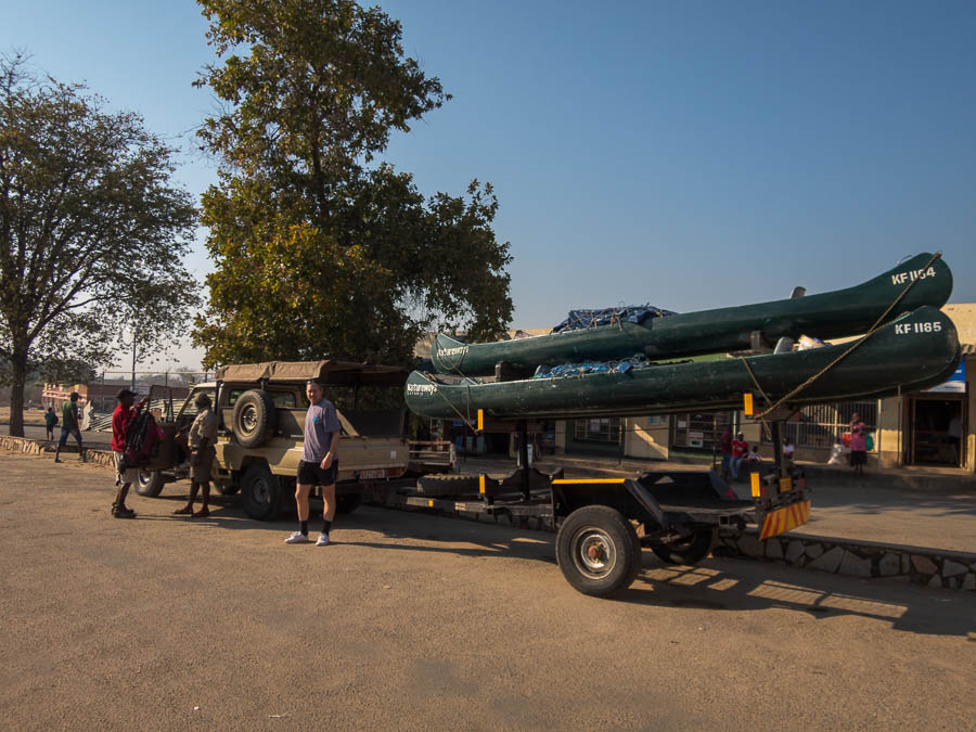
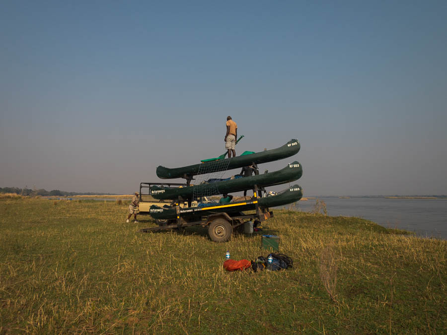
Carnarvon Gorge has been on my to-do list for a long time. Not sure exactly why – possibly because it’s mentioned in the back of Rick Jamieson’s Canyons Near Sydney book. (Not that Carnarvon Gorge is near Sydney!). Every time I’ve looked at it before I’ve been overwhelmed with how far away it is from everywhere, but this time it seemed like 10 days might be just enough time to make it worthwhile. Do we fly or drive? Tom convinces me that it’s probably easier just to drive since then we can take all our gear from home and not worry about weight limits on the plane. Slightly dreading the 1500km we have to drive each way I agree.
Day 1: Sydney to Quirindi (350km/4 hours)
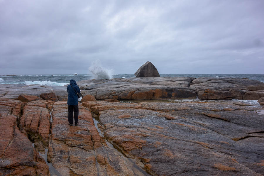
We knock off the first 4 hours of driving on Thursday night after work. This puts us in striking distance of breakfast in Narrabri and then the opportunity to visit two areas we didn’t make it it to our on our previous visit to Mount Kaputar National Park – Sawn Rocks and Waa Gorge.
Day 2: Quirindi to Nindigully Pub (573km/7 hours)

Sawn Rocks, Mount Kaputar National Park

Waa Gorge, Mount Kaputar National Park

Mill-Bullah Waterholes, Mount Kaputar National Park
The schedule for the second day was pretty tight, but we managed to make up some time with the overly generous national park estimates for how long Waa Gorge would take to explore. We figured that gave us time to stop for coffee in Moree… but we’d failed to note where One Ton Post in Mungindi actually was. And had no reception – rather than just drive until we found signs we tried to find it (on the wrong side of the Barwon River). Any time we’d made up in Waa Gorge was squandered, but we made it into Nindigully Pub just on 5pm. We were somewhat disappointed that the thick stands of trees surrounding the pub obscured much of what had promised to be a good sunset.

Thallon Silos

Nindigully Pub
The pub was pumping and we somewhat accidentally found ourselves in the food queue, which was just as well, as otherwise we may not have got our first choice order. Live entertainment by Adam Kilpatrick was excellent – I couldn’t have pictured a more stereotypical Queenslander! (Maroons shirt & cap, stubbies & thongs… in 6°C) We particularly enjoyed his full rendition of American Pie towards the end of his set.
Day 3: Nindigully Pub to Carnarvon Gorge (491km/5.5 hours)
The next day was an early start, our preferred way to tackle a long driving day, getting a couple of hours of driving under the belt before breakfast (in Surat). With the schedule already falling behind we didn’t do the full riverside walk but it was good to stretch the legs out.
Roma’s supermarkets seemed packed with people like us stocking up for a few days. We managed to get in and out fairly quickly before lunch at Injune, in June (never gets old I’m sure). The only option was the pub of which we were 2 of 4 patrons. It’s hard to imagine the economics work – but I assume it must get busier at night. The chips were some of the best I’ve ever had – so crunchy!

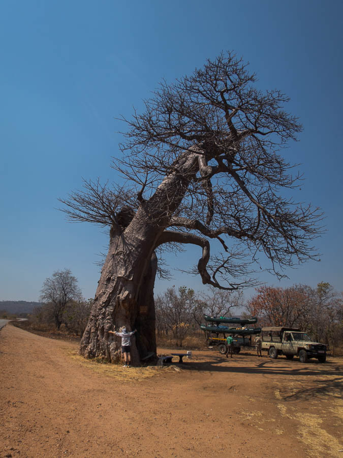
Largest bottle tree in Roma
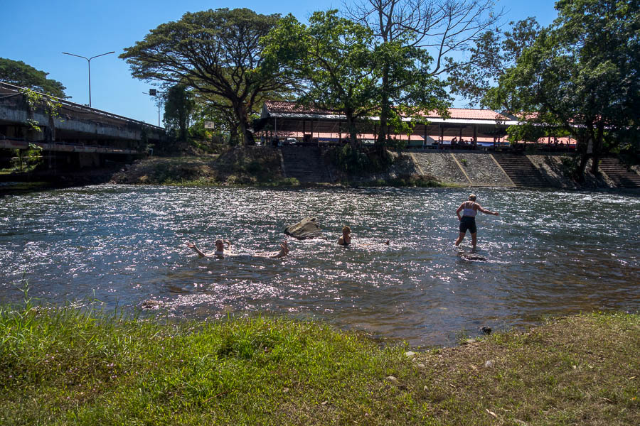
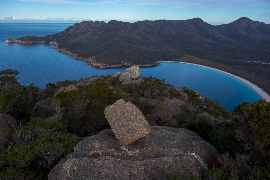
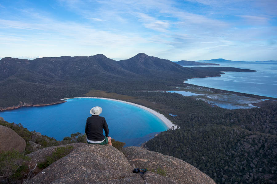
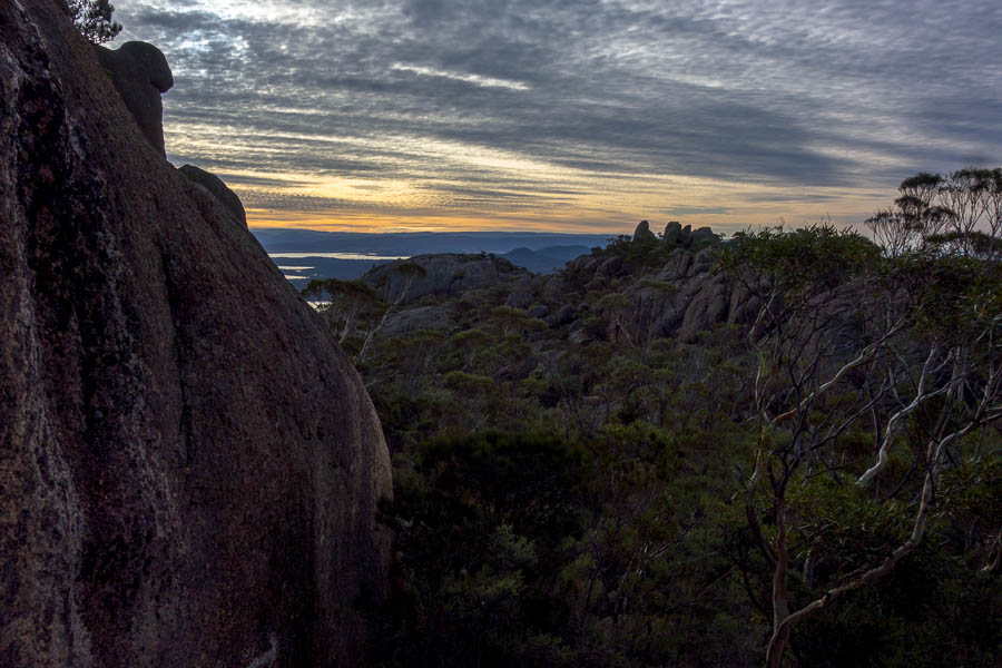
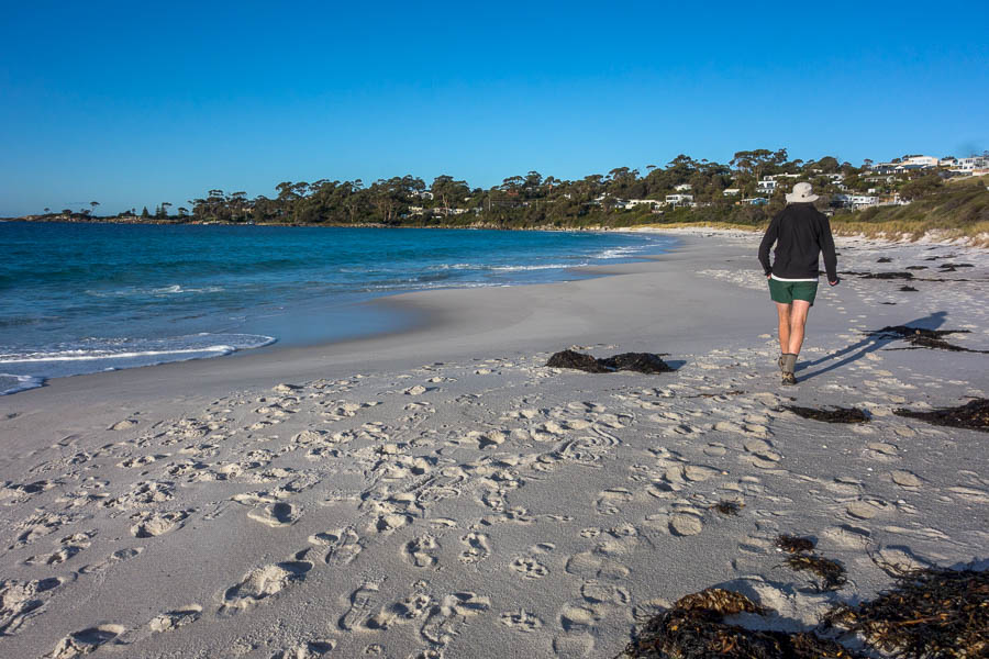
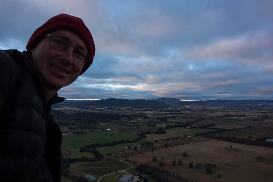
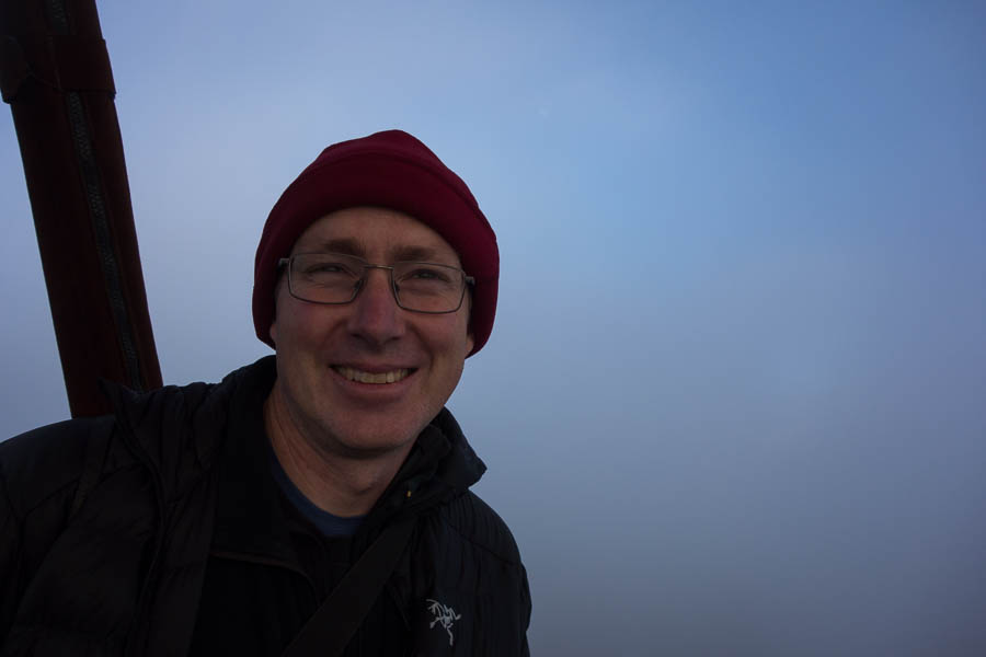
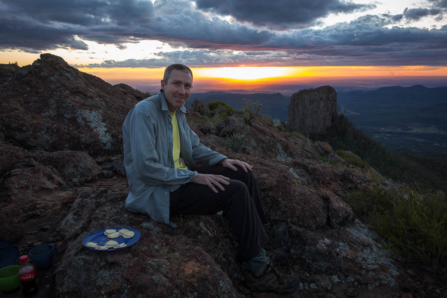
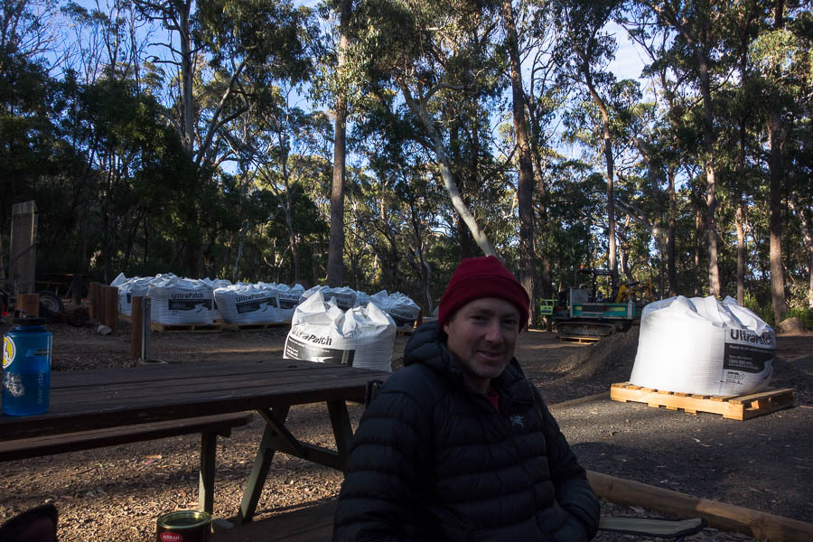
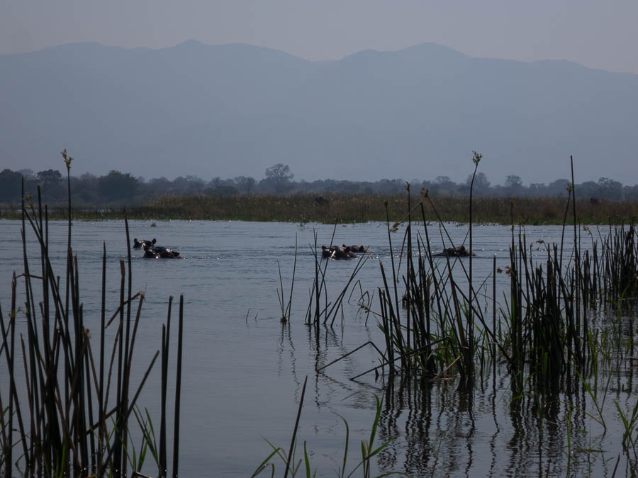
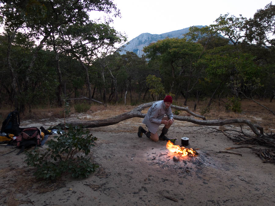
By the time we got into the Caravan Park at Carnarvon Gorge mid-afternoon I was ready not to do much for the rest of the day. Originally we had thought we might go and do a walk, but setting up camp, and not having to think for half an hour won out. That said there was a lookout to visit for sunset and some supposed platypus viewing to be had. Sadly, we didn’t look at the map properly and so spent a good 20 minutes looking for platypus at the swimming hole instead of the platypus area. Then mistimed our arrival at the lookout for sunset. Quickly dashing back to the actual platypus pool we did get to spot one before it swam off downstream away from where we were allowed to go. Ah well, can’t have it all. With a new moon the sky was dark and clear, the stars were phenomenal. It was also good to know we didn’t have any real driving for the next 4 days.
Day 4: Carnarvon Gorge caravan park to National Park entry (Driving: 6km / 15 min)
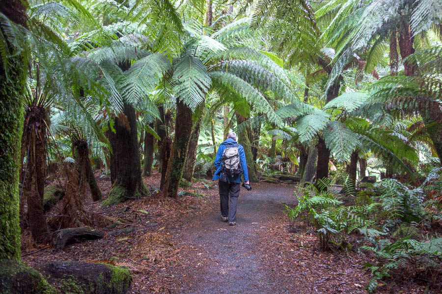
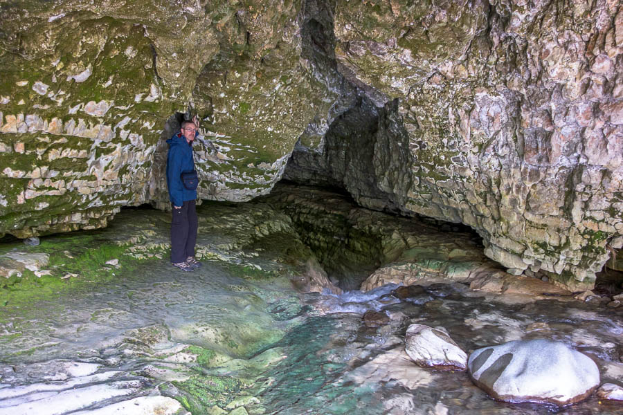
Another relatively early start, complicated by needing to pack overnight packs for the next few nights. But we managed to be walking by 9am which was the goal. The vegetation was so lush – not really what I was expecting. It really didn’t feel like we were in Outback Queensland. We did all the side-trips as we walked up the gorge; the Moss Garden, the Amphitheatre, the Art Gallery and Cathedral Cave. Wards Canyon was closed due to flood damage.

Beautiful day in Carnarvon Gorge

Tom in the Amphitheatre
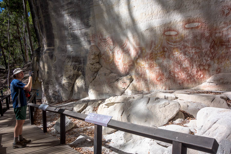
The Art Gallery – the most impressive collection of art I’ve seen in one location

All 17 crossings up the gorge were labelled – though the signs got further and further back from the creek as we went upstream
Around one of the communal fires the previous night we’d met a couple of young guys who were heading out on the Great Walk and camping at Big Bend like us that evening. We kept leap-frogging them through the day – though they were doing was more exercise than us, as we dumped our packs at the junctions, whereas they were carrying them in and out on all the side trips. We also explored up an unwritten up side creek, which ended up being quite a lovely section of gorge/canyon.
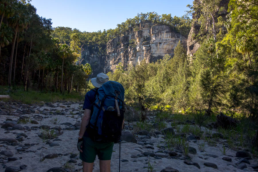
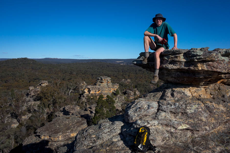
Precipice Sandstone cliffs in lovely light
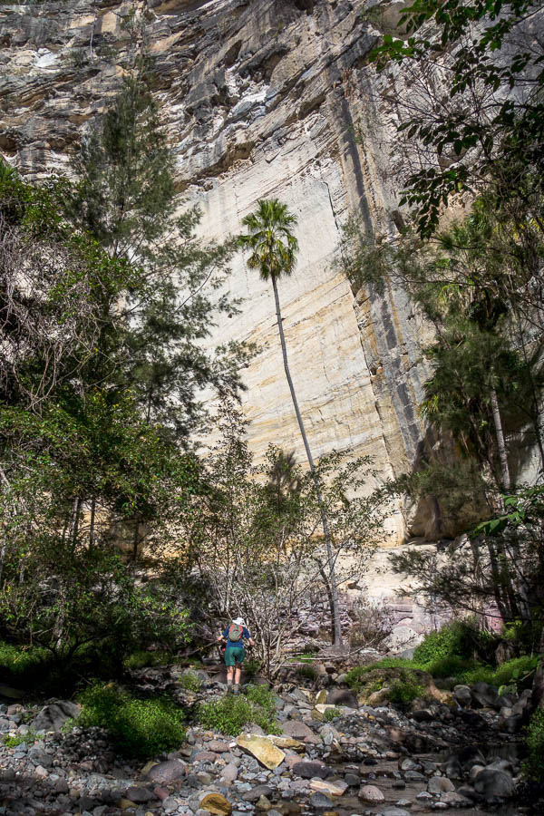
Big cliffs
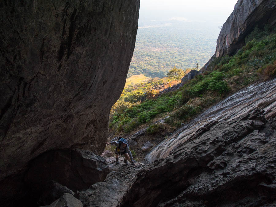
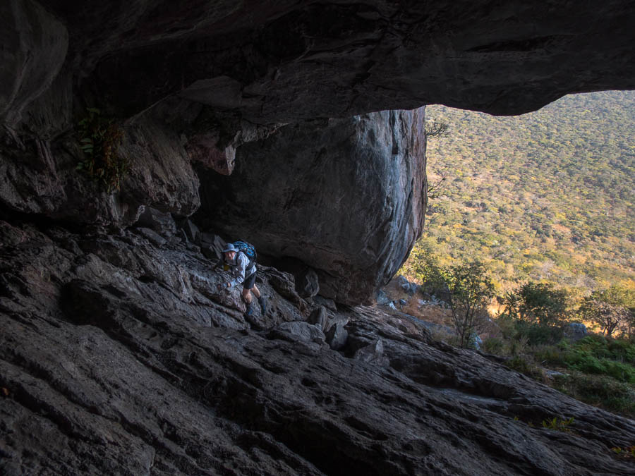
Dramatic gorge, small human
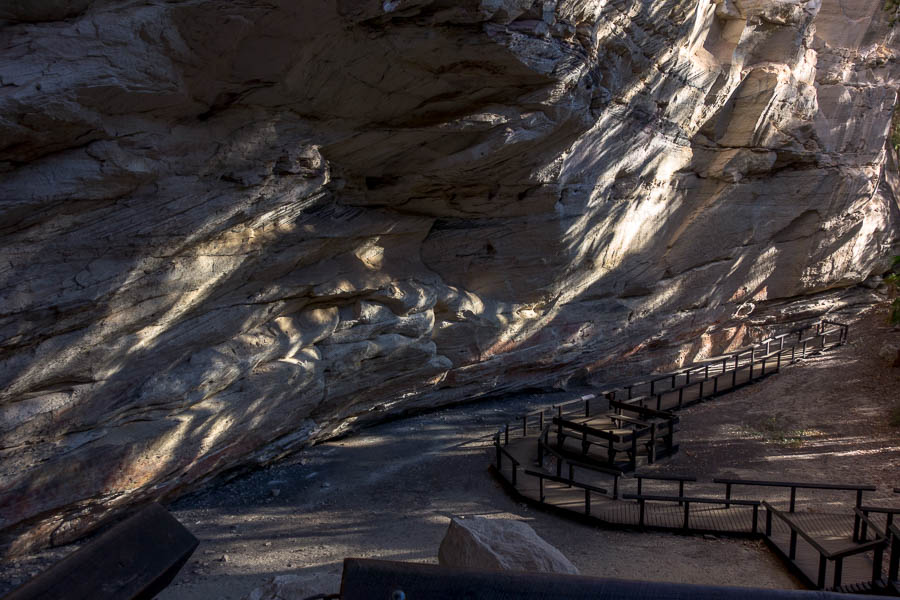
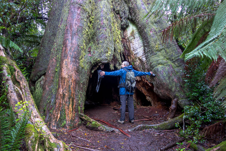
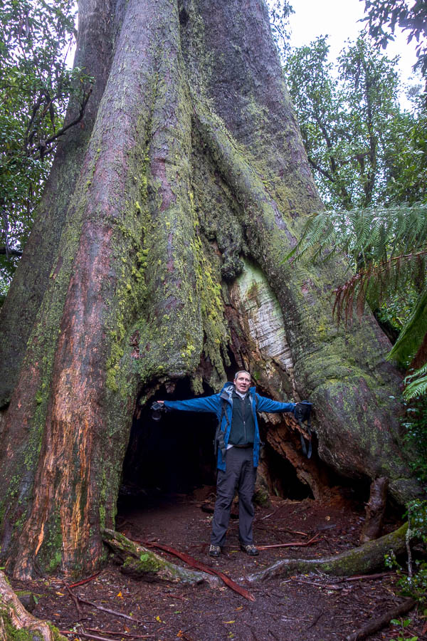
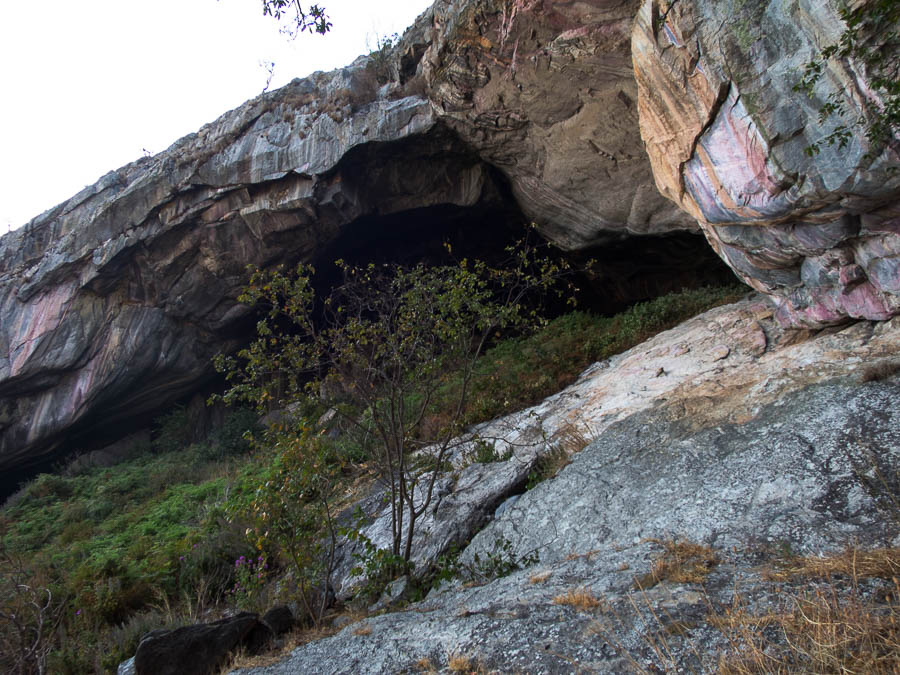
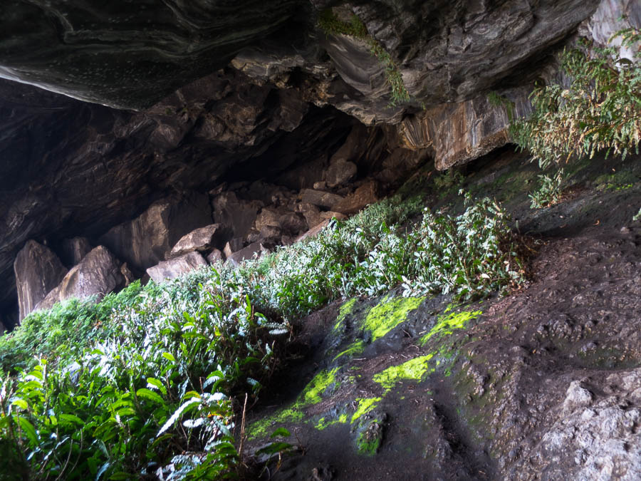
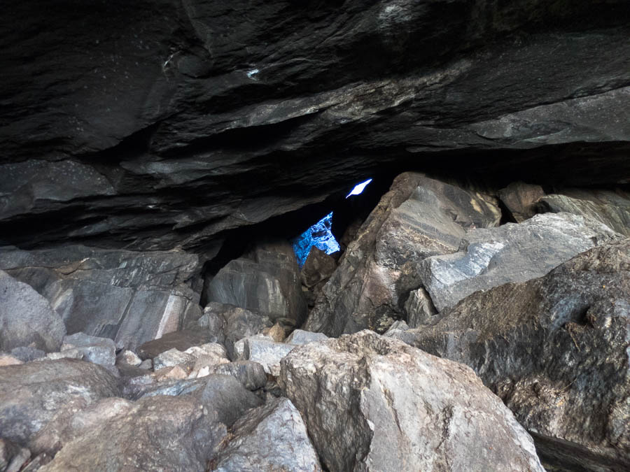
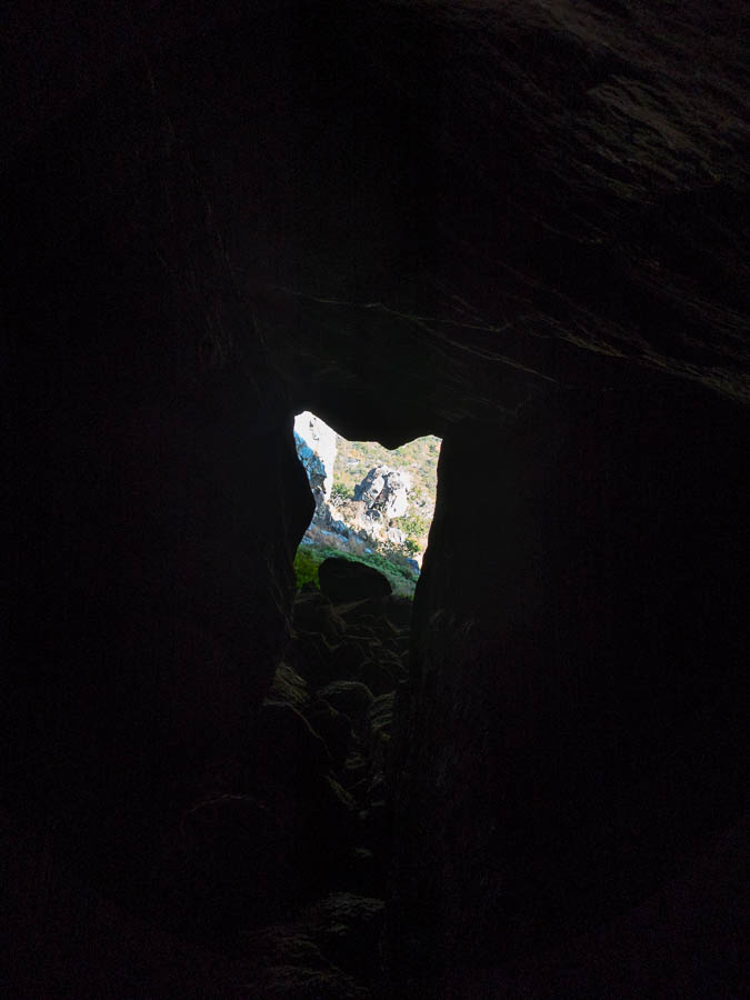
Epic camp cave (Cathedral/Pitjara) – you can see why this was used by the local people for thousands of years
Eventually we made it to Big Bend – the last arrivals for the day, with 6 others already set-up. As such we got the ‘worst’ pick of the campsites, but we were happy enough with it that we didn’t bother moving when everyone else cleared out the next morning.
Our camp cave not quite so epic (or is it..)
We chatted with the two young guys until it got dark and cold. They headed for their tents, and we rugged up. Another couple from Cairns shared the picnic table with us while we had dinner. The third couple barely left their tent, so we never spoke to them. It was pretty cold, and the Cairns couple headed to bed by 6pm. That left me & Tom partying until 8pm.
Day 5: No driving!
It was a chilly night, we slept really well and after all our early starts were happy to have a sleep in. Our relaxed start meant we didn’t get away from camp until almost 10am. A day of exploring up-gorge with no real goals meant timing was pretty flexible. We had a successful day poking our heads up a number of gorges, generally getting stopped by some sort of chockstone block-up.

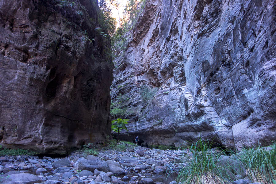
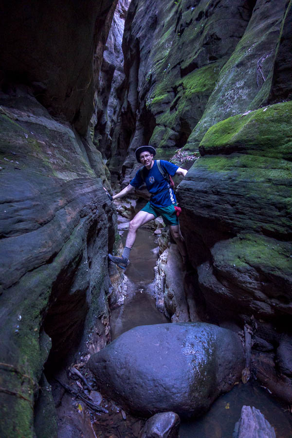
A canyon!

Tom in the canyon

Trying to replicate a photo of me in Blarney Canyon in Utah (turns out not that similar)

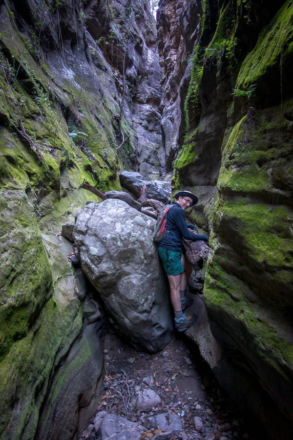
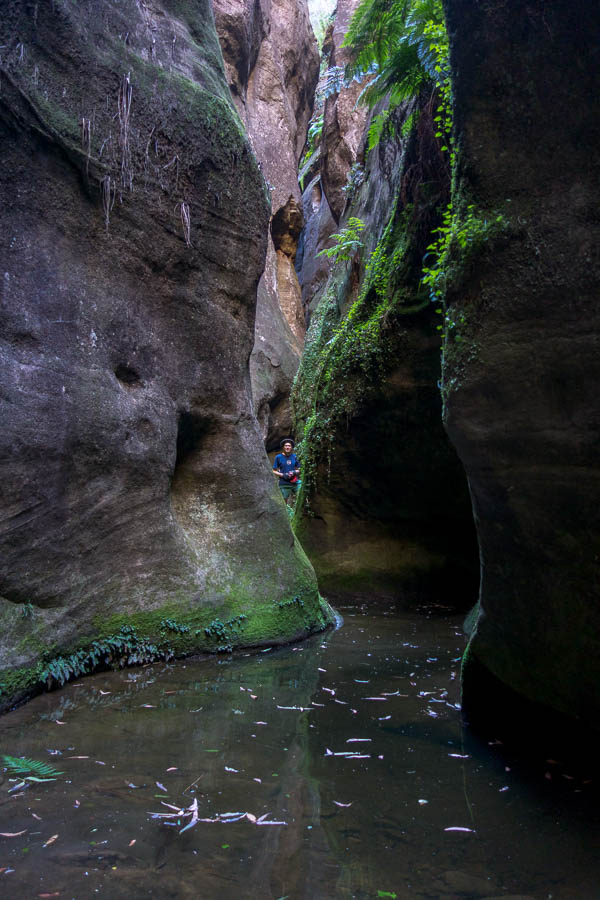
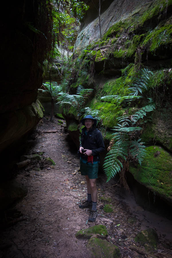
Tom looking small in a mossy section

Will he hop in the water in an attempt to continue upstream?

Large log jam!

Cliffs in the main gorge

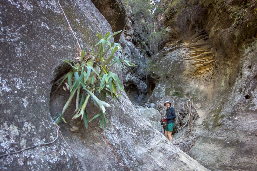
Staghorns
Starting up another side gorge
up/down climb (depending on your direction)
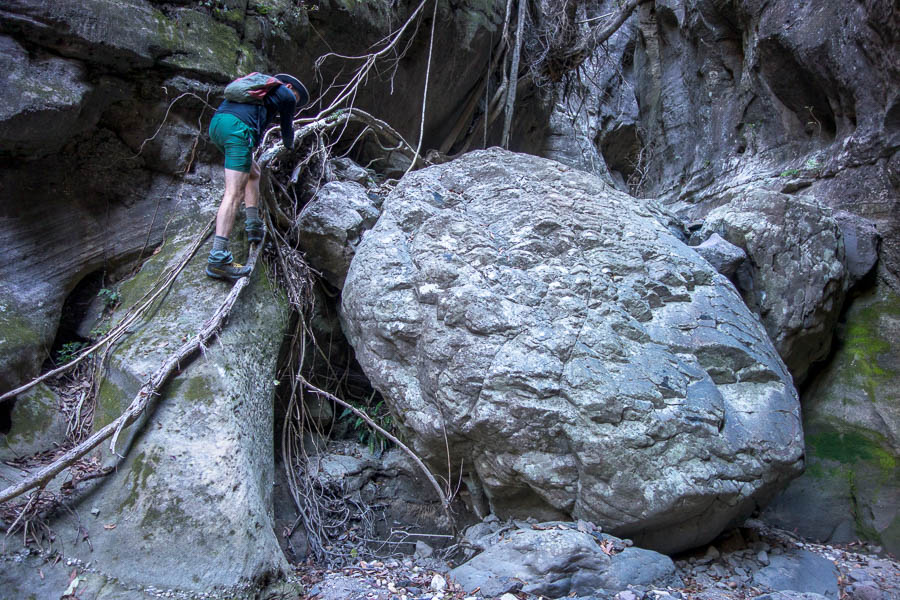
Handy roots provide access into this side creek
Back at camp we had a new cohort of campers. Mum & 2 young daughters who were obviously experienced campers and quite precocious, plus a couple from Mackay on their final day of the Great Walk. They spoke of how cold it had been at the higher camps of the previous few nights. It seemed slightly warmer than the night before but still pretty chilly and yet again we were the only ones up at the late hour of 8pm.

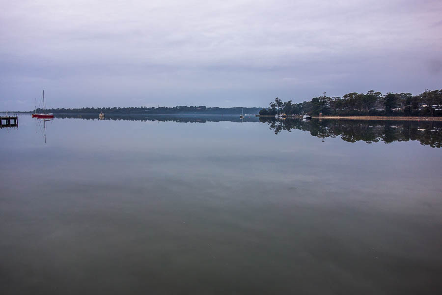
Big Bend campsite reflections
Day 6: No driving!
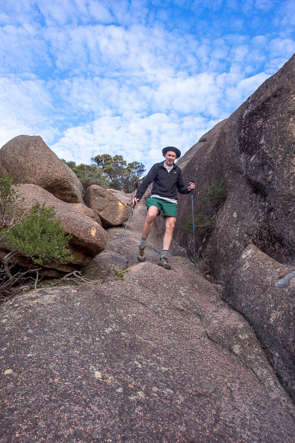
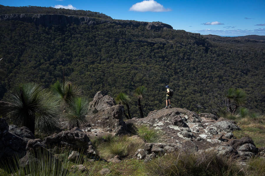
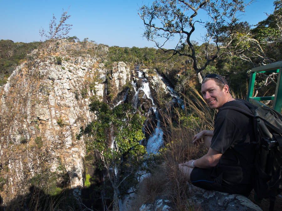
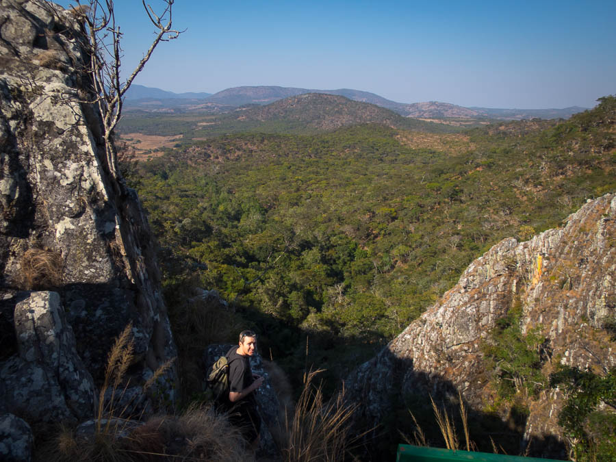
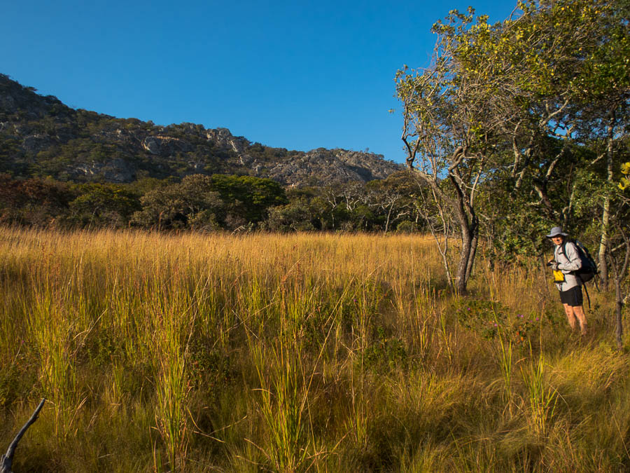
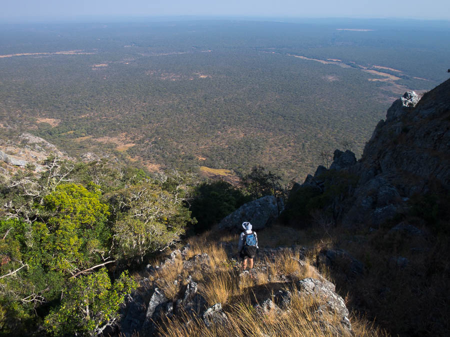
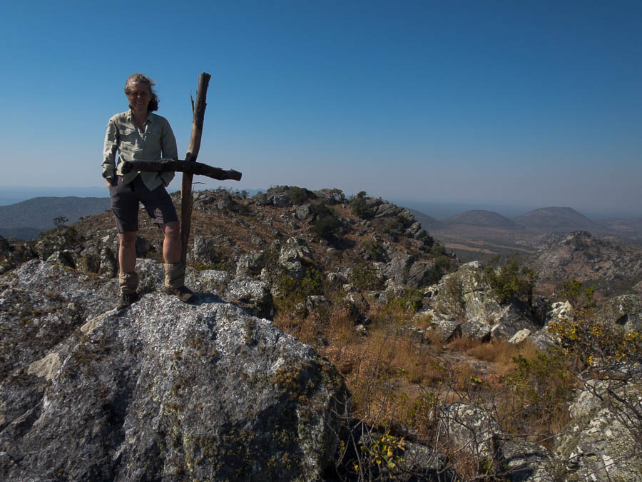
On day 6 we were back to an early start, aiming to get up Battleship Spur in the cooler part of the morning. Not that it had been particularly warm during the day (maybe 19°C?), but a 500m ascent is a 500m ascent. What a delightful walk – the start of Boowinda Gorge was quite impressive, the scramble up the gully onto the ridge, then the ridge walking was excellent, before traversing across the tops to the lookout. We had a perfect day for it, and it was really enjoyable.

“the Subway” of Boowinda Gorge (at least that’s what it reminded me of)
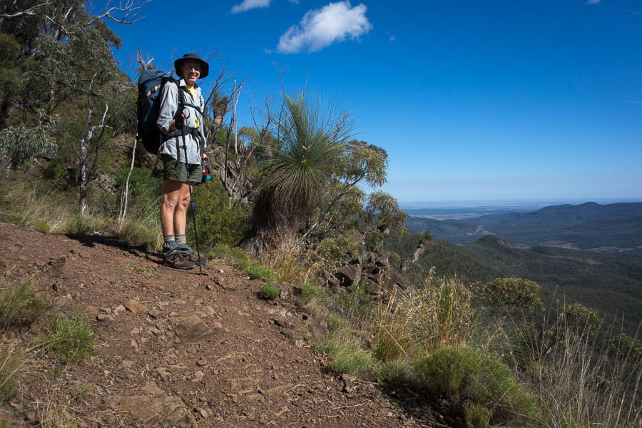
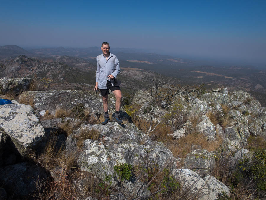
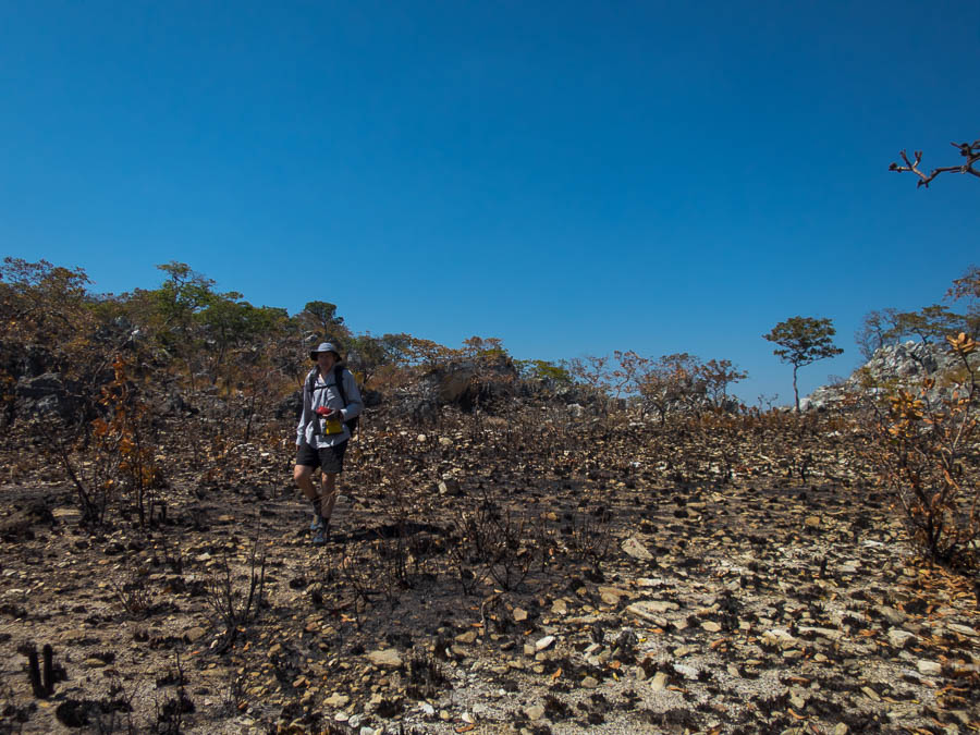
On our way up to Battleship Spur
It took us 2 hours from camp to the lookout which was great timing for morning tea.

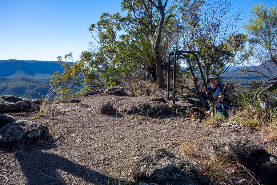
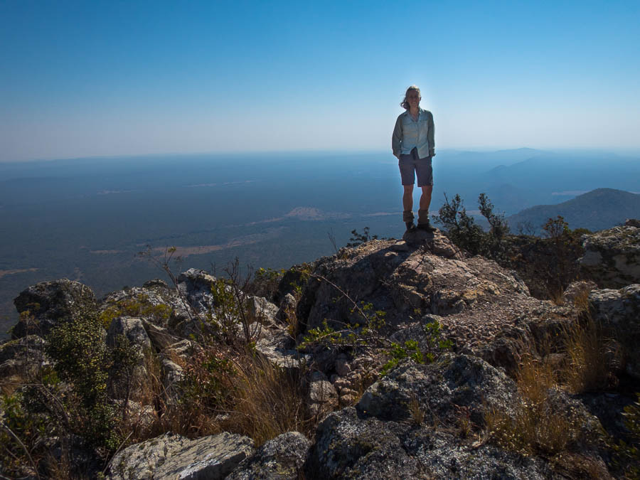
Battleship Spur viewpoint
Eventually we decided we better head back down. Everything had a slightly different perspective going the other direction. We enjoyed watching a couple of wedge-tailed eagles soaring just overhead, and Tom got to photograph the orchids we’d rushed past on the way up.

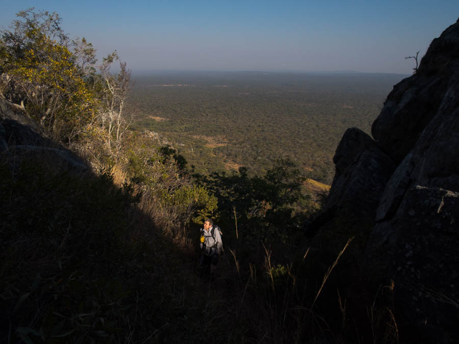
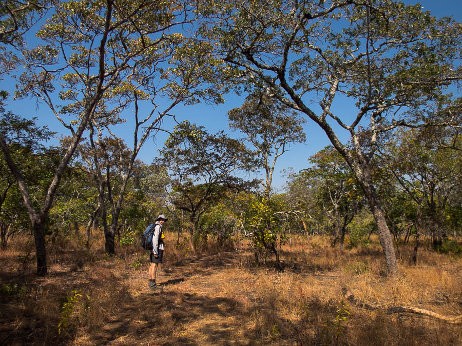
Tom in dinosaur country

At the bottom of the steep gully which gives access up to the tops
Back down in Boowinda Gorge, we headed upstream. I wasn’t really feeling it so I let Tom keep going while I found a nice flat rock to lie on. The sun vanishes early from the gorge in winter, and it was pretty chilly in the gorge, so it wasn’t quite as relaxing as it could have been. Tom eventually reappeared and said he’d found a flowing canyon only 9 minutes upstream. So we headed up to that, but I decided I didn’t need to go past the section where wading was required (Tom already had).

Tom found a wet canyon!

Back in the subway
On the way back down the gorge we had an unusual encounter. Two wedge-tailed eagles were perched in a tree in the gorge – seemed unusual, but maybe they roost there for the night?
It was a lot milder that evening – I didn’t even put my down jacket on till after 7pm. We had a full party around the picnic table – Mum & her daughters were still there, plus a couple from Kingaroy on their first overnight hike, and a couple from Brisbane just starting the Great Walk. Despite the mild(er) temperatures we were still the last ones up – at 8pm!
Day 7: National Park entry to Carnarvon Gorge caravan park (Driving: 6km / 15 min)
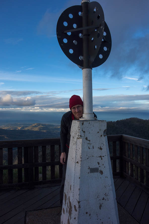
Day 7 was another full schedule so up early again – but to be fair when you’re going to sleep by 9pm, that’s still over 9 hours sleep with a 6:30am wake-up. The first half of the walk back down Carnarvon Gorge passed very quickly. The first of the day trippers we encountered quite early – unfortunately one of them had fallen in at Creek Crossing 10. We’d seen 2 people slip in there while having lunch on our first day. So beware crossing 10! The second half dragged a bit as we both waited for the turn off for Boolimba Bluff to appear. Eventually it did. We stashed our packs and walking on air with only day packs as we headed up to the lookout. The ‘steep and rugged’ walk up the gully reminded me of the Devil’s Hole in Katoomba and was lovely as it was in the shade. Apparently we’re fitter than we thought as we overtook quite a few people on our way up.
I obviously wasn’t that impressed with the view as I didn’t see fit to include a photo!
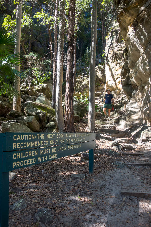
On our way back from Boolimba Bluff lookout. The sigh says “the next 300m is very steep and rugged. Recommended only for the physically fit”. Not sure what Tom was doing up there… 🙂
We were back at the visitors centre in time for lunch. We almost lost lunch to a determined kookaburra but fortunately it didn’t manage to make off with most of our cheese.
Post lunch we still had Mickey Creek, and side creek Warrumbah Creek that doesn’t even get a mention on the map, to do so Tom said there was no time for me to have a coffee. Boo. Turned out to to be a good thing, since by the time we’d been up the upper left fork and upper right fork of Mickey Creek and then explored a long way up Warrumbah Creek there wasn’t that much time left in the afternoon.
Found us another canyon
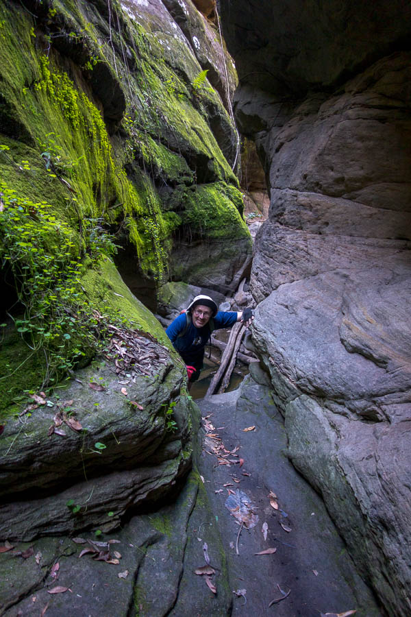
Turns out we left the best for last. Warrumbah Creek was a stunner. I think the other canyons may have felt a bit disappointing if we’d done this one first. Tom went a bit further than me, as I wasn’t keen to have wet shoes to go back down the flimsy branch we’d balanced on to get up the canyon. He didn’t get much further though as he came to a chest deep section, followed by a tricky looking climb up. With his camera/phone/gps in his short pockets it made it an easier choice to turn around.

Slanty corridor here we come
Canyon shoes come into their own for some bridging
Don’t think he bridged that pool!
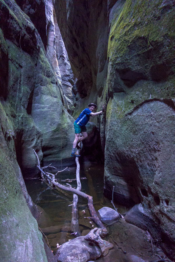
Flimsy branch provided access up-canyon

Spectacular canyon
Back at the Caravan Park we prioritised platypus viewing over sunsets. The first pool didn’t provide much, so we wandered to the second one. Almost immediately I spotted some churned up dirt and bubbles. Bingo! We ended up watching two platypus swim about for half an hour. The closest view I’ve ever got of one. It was an excellent end to the trip.

My best platypus viewing experience – it was in fact excellent, even if this photo doesn’t perhaps suggest that
Day 8: Carnarvon Gorge caravan park to Toowoomba (611km / 7 hours)
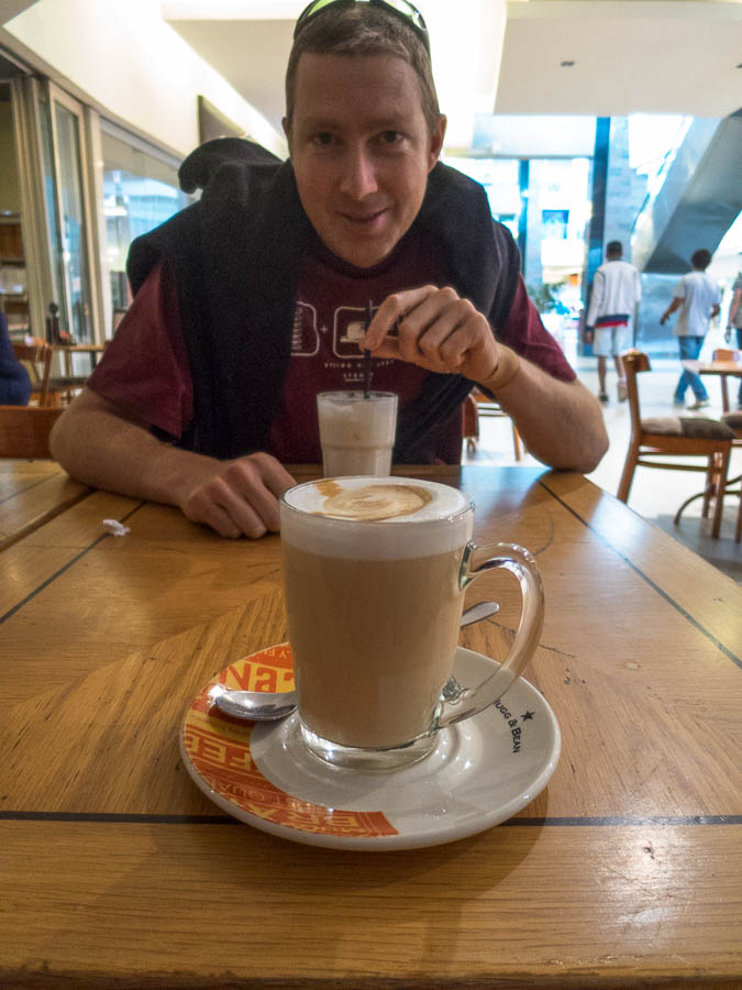
Surprisingly (not), day 8 was an early start. We had an excellent breakfast in Injune (the sole cafe is open in the mornings), before stops in Chinchilla and then Dalby to stretch our legs walking along the river. I’d left booking accom to the last minute, and lots of motels in Toowoomba were full. Eventually I found us a much nicer room than I would have normally booked – and for once I took advantage of having a spa bath to soak my legs which were feeling the 4 days of walking.
Day 9: Toowoomba to Girraween National Park (191km / 2 hours 20 min)
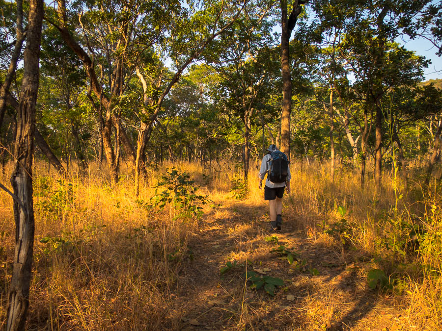
We had a relaxing start to the day as we only had a couple of hours of driving and a similar amount of walking. Despite being our first visit to Girraween National Park we eschewed the popular walks and instead headed to the Mt Norman side to walk into a remote bush camp site I’d booked. I don’t think I’d appreciated the walk in was entirely on fire trail, but it was, so we made quick work of the 8km. Unfortunately the blue skies we’d started the day with were now grey clouds which didn’t bode that well for photography.
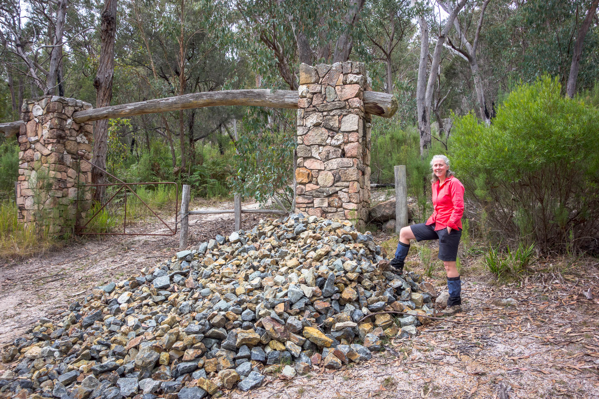
Stone gate entrance, Girraween National Park

South Bald Rock remote camp
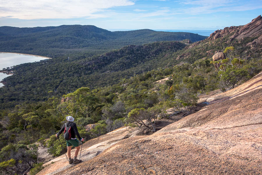
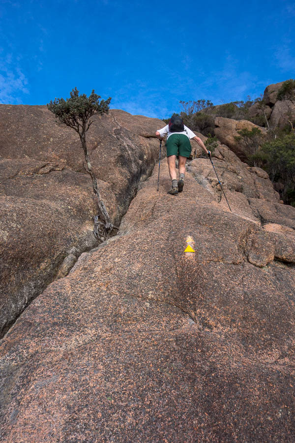
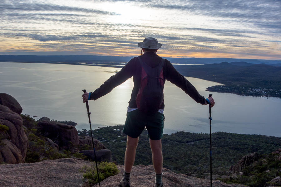
Tom directed us to a track which led around the back of South Bald Rock and eventually up to the granite. At that stage I was wondering why we hadn’t camped closer to the summit as the thought of retracing the route after dark (or before sunrise) was a bit daunting. However, once on top it looked like we might be able to walk off the front back to camp.
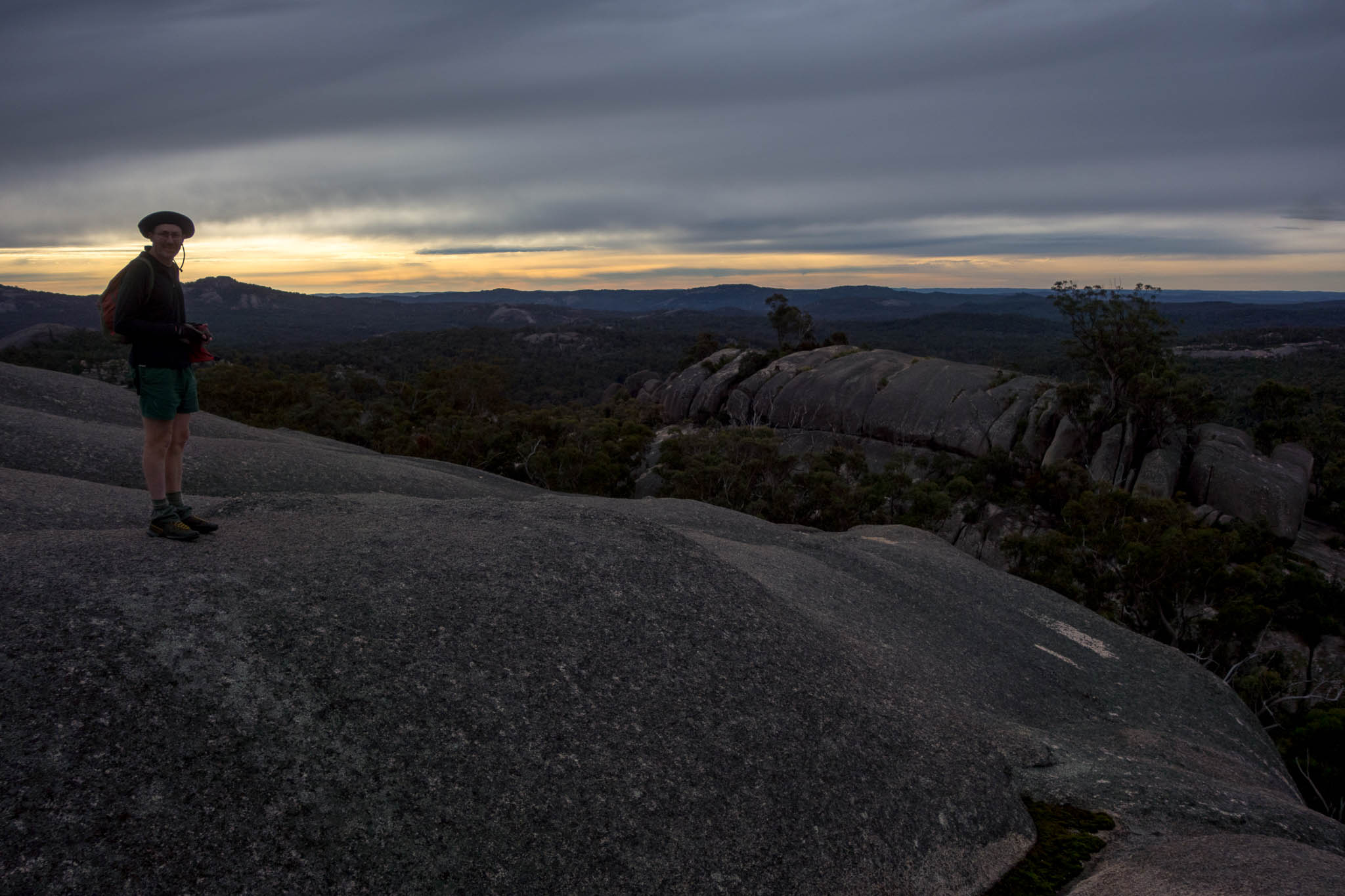
Looks like sunset but it’s only mid-afternoon

Can we get off the front of this?

Camp is a long way down
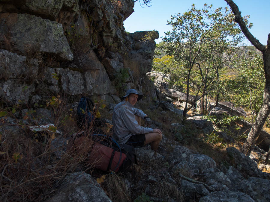
Unfortunately it then started raining – that was not in the forecast! I’d been so casual about the forecast I hadn’t even brought a raincoat. Fortunately there was a large overhanging boulder near by so we sheltered under that with our happy hour while the rain blew through. In the scheme of things we couldn’t have done much better.
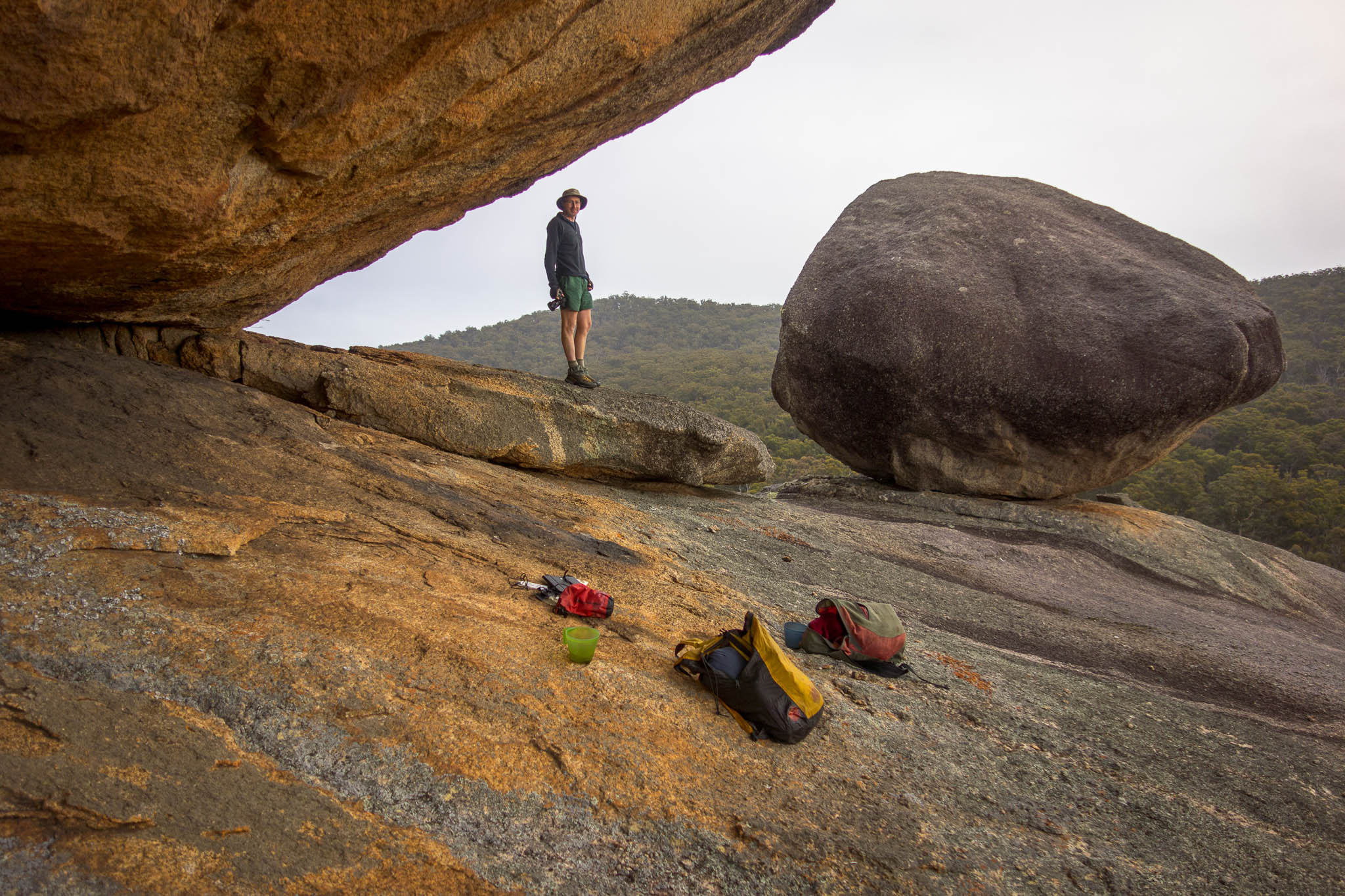
Hiding from the rain under a convenient boulder during an un-forecast bout of rain
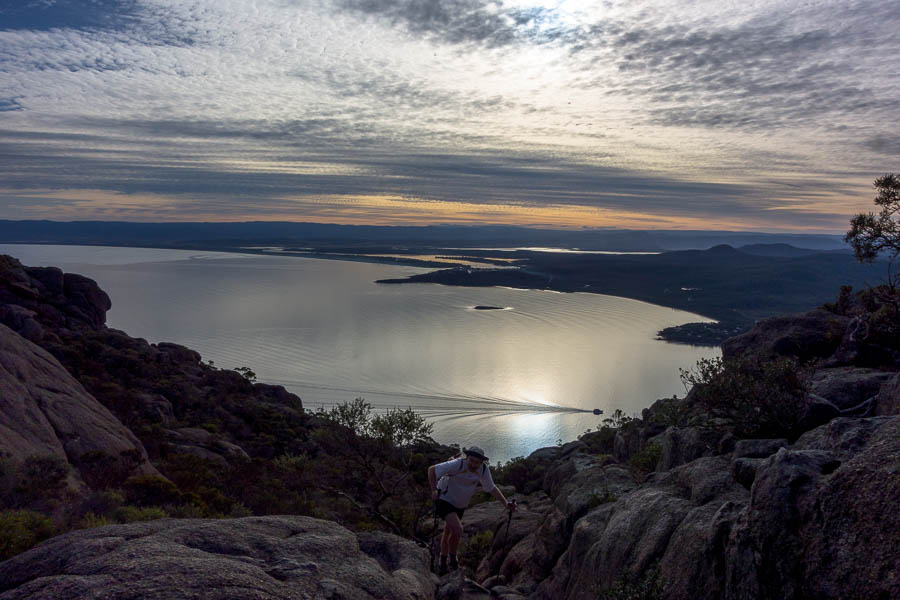
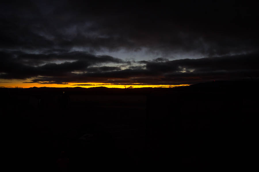
The rain stopped for sunset but there was a bit too much cloud for anything spectacular. We made it back to the tent before the next lot of rain came through, so I got lucky on my lack of raincoat.

Actual sunset… Putin eat your heart out
Day 10: Girraween National Park to Armidale (265km / 3 hours 10 min)
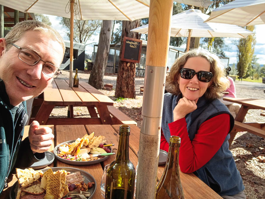
Tom’s description of the morning didn’t make me rush out of bed to join him for a pre-sunrise hike back up South Bald Rock. I enjoyed being warm in bed while he went seeking sunrise. We walked out straight after breakfast and were back at the car by 11am. A bit earlier than expected – I was a bit over the walking – the weather combined with the fire trail made the trip a bit disappointing.
Instead we turned to the other thing we often do on roadtrips – wine tasting! Only 15 minutes up the road was Queensland’s premiere (and only!) wine region. We found ourselves at a winery with a generous lunch platter and tasting flight – an excellent way to spend a couple of hours before hitting the road to Armidale.
Day 11: Armidale to Sydney (480km / 5 hours 30 min)
We decided to take Thunderbolt Way back to Sydney – looking forward to a breakfast stop at the patisserie in Gloucester. We were very nearly too late as we secured the final two vanilla slices! Though to be honest I think the sausage roll was probably more impressive. Breaking the trip up we had coffee in Stroud, before the final push back home.
Total 2983km


