Category Archives: Bushwalking

Box Vale Tramway (March 2018)

We needed to back in Sydney for a social engagement in the evening so this walk in Mount Alexandra Reserve near Mittagong was the perfect length. After a fair bit of rain in the preceding weeks the creeks were flowing, the tracks were slippery and the leeches were out in force.

IMG_2375

One of the old cuttings

IMG_2377

Following an old tramway makes for gentle flat walking!

IMG_2378

Tunnel under the rocks

IMG_2379

View from the tunnel

IMG_2383

Views down the Nattai River Valley

IMG_2386

The steep incline down to Box Vale Creek

IMG_2391

Crossing the Nattai

IMG_2395

Fallen trees made things a bit trickier in places

IMG_2398

The Natural Arch obscured by a large amount of flood debris

IMG_2404

Tom at the top of Forty Foot Falls

IMG_2405

The cave behind Forty Foot Falls

IMG_2409

Tom taking a shower


Hidden Valley (March 2018)

It’s always nice to explore a new area – no one on the trip had been into this area of Morton National Park before. The first challenge was finding the Sassafras entrance and driving along the road.

IMG_20180311_175550

The gate at the turn-off on Braidwood Road

IMG_2370

At the NP entrance

That successfully negotiated we then had a long and fairly boring fire trail bash, though Dee and Alex did manage to have a ‘swim’ in a small creek we passed along the way. Things started getting more interesting when we got nearer to The Vines and the vegetation changed from low heath to rainforest.

IMG_2326

Clive in the forest (trying to avoid leeches!)

IMG_2327

As usual a plume of smoke follows Alex around

IMG_2329

Alex surveying the land at lunch

It was nice to be on a track rather than fire trail as we headed down to the Hidden Valley turnoff.

IMG_2332

Hidden Valley turn off

Five of us headed into Hidden Valley, visiting Dark Brothers Cave and scrambling up onto Sturgiss Mountain where we enjoyed wonderful views.

IMG_2334

Dark Brothers Cave (I presume?)

IMG_2337

Views from Sturgiss Mountain – Pigeon House unmistakeable in the distance

IMG_2347

Descending Sturgiss Mountain, views over Styles Plain

IMG_2348

Clive on a scrambling section of the descent

Returning to our packs at the Hidden Valley turnoff we headed to Styles Creek where I was hoping we’d find a campsite. Fortunately there was – quite a luxurious one at that! Having been in Eucalypt forest for much of the walk it was great to come out onto the flats where there were great views of the surrounding features.

IMG_2354

The team at camp

IMG_2355

Sturgiss Mountain at sunset

IMG_2358

Quiltys Mountain overlooking Styles Creek

The temperatures indicated we’d tipped into Autumn with most of us slightly under done on the warmth front overnight. There was a lot of dew but my borrowed bivvy bag did a good job of keeping me dry.

IMG_2360

Breakfast time

The second day we just had a retrace of our route (minus the Hidden Valley excursion) from Saturday.

IMG_2366

Alex crossing a side creek. Is the log an old bridge?

It was a long, hot walk back along the fire trail.

IMG_2368

The long, hot fire trail bash back to the cars

We were all very happy to get to the pub in Nowra for a beer and dinner!

A great walk to get a feel for the area and start planning some further walks.

Arabanoo Creek (Feb 2018)

This was Vivien’s third attempt to run this trip with extreme heat and wet thwarting the previous two. I was a johnny-come-lately to the event not having been on the list for either of the earlier trips. Injuries and life brought our starting line-up down to 5, some defectors in a rival party of 5 taking a much easier trip to Box Creek Falls.

Alex started the weekend well by forgetting both his bushwalking clothes and his sleeping bag. Fortunately Tom had brought two sleeping bags up to Kanangra so Alex was able to borrow one. We were away from the Walls carpark just after 8am. Sierra had never been out on the plateau and was soon pointing out landmarks to us… just the completely wrong ones.  We took our time enjoying the views from the plateau lookout before heading off towards Coal Seam Cave.

We had an early first morning tea at Cottage Rock and then we were off track down to Arabanoo Creek.

IMG_2262

Jo taking in views below Cottage Rock

We were joking about whether there would be any water in Arabanoo Creek and were pleasantly surprised to arrive at a pool. The going was pretty straight-forward as it was largely dry and we could in the main just march down the middle of the creek. I managed to trip over and land heavily on my right hand so we decided it might be a good time to have morning tea.

IMG_2266

Jo on one of the trickier sections

There were a couple of scrambly sections which we had to negotiate fairly early. With my right-hand somewhat out of action this upped the difficulty level for me. When it came to skirting round pools for the sake of keeping my feet dry I, for once, was the first to plunge in. At one stage Alex decided he was going to throw his pack across the pool… after a few swings he realised the pack wasn’t going to make it and tried to stop… next minute both Alex and his pack were in the pool having lost his balance. Fortunately nothing hurt other than pride.

IMG_2270

Vivien still laughing over Alex’s fall into this pool (from about where Vivien is standing)

After that pool I decided to take the high route and managed to avoid getting more than knee deep but the others went down the creek getting chest-deep wet. After his unintended ‘jump’ Alex decided it was time to hit the heavy stuff – out came a can of berry cider (never to early to start drinking?!).

IMG_2275

Other than the hat you’d think he’d got lost from the streets of Newtown

IMG_2278

Vivien admiring one of the more dramatic sections in Arabanoo Creek

IMG_2282

Our only mandatory swim

IMG_2286

A planned jump this time

After a slightly canyon like section the creek flattened out. Then the snakes began. Red-belly black after red-belly black after red-belly black. Ever pool had a snake. We learnt that if the person in front was taking an odd line down the dry creek it was probably because there was a snake in the obvious line.

IMG_2288

Lunchtime!

IMG_2290

Not sure if this guy was alive or not, certainly wasn’t scuttling away

Eventually we made it to Christys Creek which had perhaps even less water than Arabanoo Creek. Then a few hundred metres to the junction with the Kowmung where Vivien had promised a “decent campsite”. I was less than convinced of the ‘decency’ at the stony spot we initially ended up at, but fortunately Jo discovered the real campsite slightly upstream. The Kowmung was in a pretty sad state – no flow, just large, somewhat unappealing, pools.

IMG_2293

Relaxing at camp

Vivien & I did manage to find a pool that was over waist deep for a swim which was fantastic. With a Park Fire Ban in place there was no fire to ward off the mosquitoes that were out in force. The women seemed to receive a lot more attention from the mossies than the guys and ultimately that was what sent us all off too bed. I had a bivvy on loan from Bill which the others were pretty disparaging off. After some initial difficulty sorting out how to best have my pack propped up to keep the bivvy off my face it came good. I had a brilliant night, safe from the mosquitoes and not having to swelter in my sleeping bag.

IMG_2295

Given how miniscule Alex’s sleeping mat & pillow are I can see why he doesn’t bother sleeping on them.

IMG_2298

The mighty Kowmung. Or where it should be.

The next day was going to a be a long slog back up to the cars so we got an early start. The first bit of uphill was the most unpleasant as we were directly in the sun.

IMG_2300

Early steep climb on Stonehag Hill

IMG_2301

The most technical section of scrambling we did, on Stonehag hill

IMG_2306

Views over the Kanangra-Boyd wilderness

IMG_2310

Morning tea and trying to match features to the map. Mt Colong of course is unmistakable through the trees.

IMG_2314

More scrambling to get to Arabanoo Peak

IMG_2315

Lunch in a cave below Mount Colboyd

IMG_2321

Descending into the saddle at the other end of Mount Colboyd

IMG_2324

Grass trees on Marrilman Heath

The Box Creek party were waiting for us (well, out at the lookout) at the Walls carpark when we got back. We had dinner in Lawson on the way home – a good weekend had by all.

Mother Woila – Jillaga Creek (Jan 2018)

I think John had been planning a revisit to Deua National Park every since our last trip in 2015. We had 5 returners from the 2015 trip plus Alan to give us 6 which is a good party size. This time John had a 4 day route in mind – to deal with unfinished business with Mother Woila on the first day, then see some new parts of Deua for the rest of the trip.

Most of us drove down the night before and camped. Some took the opportunity on the morning of day 1 to read the email with the details for the first time… and realise that we were meant to be carrying water for the first 2 days! Fortunately between extra water in cars and Currambene Creek everyone was able to load up sufficiently (though there was some disagreement about what the ‘right’ amount of water was). The first challenge of the day was getting cars to Dampier Trig. We all made it, but John’s car was smelling quite unpleasant and issuing smoke by the time we arrived. Oh well! That would be a problem for 4 days time!

And so we were off. We quickly picked up an old fire trail off Dampier Trig which took us out towards Mother Woila.

IMG_2122

Following an old firetrail from Dampier Trig

Gladly dumping our heavy packs we set off on a side trip to get onto Mother Woila. A couple of snakes in quick succession (black? & tiger) made us a little jumpy but it wasn’t long before we were having morning tea overlooking our objective.

IMG_2124

Sierra at morning tea with views of Mother Woila

We headed down to the saddle where there was some discussion about how to ascend. In the end Alex & Alan headed off to the right-hand side while the rest of us skirted around the left with the intention of heading up the gully between Mother Woila and Little Woila. The siren-call of the cliff face drew us in though and before we knew it, despite having good beta that there was no easy route up this face, I was half way up a cliff with Bill valiantly following me. I was hoping John & Sierra would get to a similar spot by an easier route and we could take their route down…. unfortunately (or fortunately?) they had backed off much earlier and so were at the bottom. I was now at a vertical face I had no chance of getting up and I didn’t really fancy reversing what we’d just done, but that was what needed to happen. Fortunately I had the only handline in my pack. A few pitches with the handline around some marginal trees we were back at the bottom of the cliff. By this point Alan & Alex were already at the top waving at us… guess they were going to be waiting a while!

IMG_2129

Bill bravely following me up an ill-advised attempt to get up Mother Woila

We eventually made our way up the gully, after a couple of attempts up minor gullies, and out to the rocky outcrop on Mother Woila. It had been very warm and humid as we’d made our way up and thunder rumbled overhead as a storm brewed. A few photos, an essay in the logbook by Sierra, and then we decided we’d better get off before it started raining. We were pretty happy that Alex & Alan thought they had a suitable route for the whole party to descend rather than reversing our longer approach.

IMG_2139

Views of the approach ridge from Mother Woila

IMG_2140

Tabletop from Mother Woila

IMG_2141

Not many (different) visitors to the log book in the last 2 years!

IMG_2143

Chocolate + hot day = winning combination

IMG_2146

Bill in the top of the chute descending off Mother Woila

IMG_2148

Looking back up the top of the chute

IMG_2149

Sierra in the lower chute

The rain largely held off until we were back in the saddle.

IMG_2151

Alex in the saddle as the weather closes in

IMG_2154

Moody Tabletop

With my unsuccessful climbing foray, and the heat taking its toll, we didn’t get back to our packs until 4pm. As it was raining we figured it was best to get to Horseshoe Point rather than have lunch. Finally at Horseshoe Point at 5pm we had lunch – has food ever tasted so good? The storm had cleared by then so we enjoyed drying out in the sun.

IMG_2161

After the storm clears Sierra at Horseshoe Point

IMG_2163

Mother Woila through the trees from Horseshoe Point

We had a pleasant time around the fire before turning in fairly early. The rain came back not long after we went to bed.

IMG_2164

Camp at Horseshoe Point (yes, Bill is available for fashion advice any time)

IMG_2166

The weather comes in again

We had a long day ahead so we got away from camp at 7am. The ridge between Horseshoe Point and Tabletop gave excellent views in the early morning light.

IMG_2178

Looking out to Scouts Hat

IMG_2179

Sierra scrambling with Mother Woila in the morning sun

IMG_2180

The ridge to Tabletop

Even with the early start it was oppressively humid and it was soon clear our original objective was out of the question. A new plan was hatched which eliminated several kilometres of ridge walking and took us to Jillaga Creek sooner than expected.

IMG_2187

Looking back on our route: Tabletop (left) and the ridge to Horseshoe Point (right)

IMG_2189

Something didn’t like this tree!

IMG_2191

First view of Jillaga Creek, and what a sweet view it was

We hoped that Jillaga Creek would be running and it was music to the ears when we heard the flow before we could even see it. The easiest walking was in the creek so that’s where we walked. It was a beautiful section of creek surrounded by ferns and easy walking on the rocky bed.

IMG_2196

Easy walking in the upper reaches of Jillaga Creek

Another storm came through as we walked down the creek. We kept going keeping an eye out for campsites. There were a number of single sites but not much for 6 people. With the rain still teeming down we settled on a site about 4pm.

IMG_2204

Another storm comes in

After standing around waiting for the storm to blow through for quite some time we eventually decided to set up. Teamwork made for a relatively dry set up and it was amazing how good it felt to be under the fly (even if it was in the mud) and out of the rain.

IMG_2206

Bill setting up the biv in ‘dry’ conditions

Eventually the rain did stop but everything was soaked through. Bill did a grand job getting a fire going and drying out wood. I was a little surprised to pull out my silk inner liner from my pack and find I could squeeze a considerable amount of water out of it. Note to self: pack liner is useless! Fortunately with the heat from the fire I was able to dry it and my Thermarest out quickly. In the end we had a pleasant evening and there was some damage inflicted on the 2 litres of port which Alex had brought.

IMG_2207

Drying out after the storm

IMG_2209

Camp night 2

IMG_2210

Delicious dehy meal Nicole made me as a thank you for lending her our dehydrator

It was interesting to see how much the creek had risen from when we arrived to the next morning. After the fact reviews of the weather data showed Snowball had 13mm and Bendethera had 21mm so I guess we got somewhere in between those numbers. (and our first day Snowball had 9mm, and Bendethera had 2.4mm)

IMG_2214

Jillaga Creek early on day 3

IMG_2219

Love a party where everyone brings a map!

We kept walking downstream on Jillaga Creek until we reached a junction with a major side creek. This junction was our original planned night 3 camp, but we were here for morning tea on day 3 instead. At this point we split the group. John & Bill headed down Jillaga Creek towards Bendethera with the hope of getting a lift back to Dampier Trig. The rest of us set off on the planned day 4 exit.

IMG_2222

Parting of the group

The first part of the exit was walking up the side creek. It was beautiful with lots of little cascades, a few deep plunge pools and a lot of extremely slippery rocks.

IMG_2226

Alex enjoying our side creek

IMG_2228

Sussing out exit options at another lovely cascade

IMG_2233

Sierra and I take a high route to avoid getting out packs wet

IMG_2236

Cascades

We expected to hit an impassable waterfall which would be our cue to head on to the ridge, and sure enough we did.

IMG_2237

Don’t think we’re getting up that…

IMG_2239

Shower time

We backtracked downstream and had some lunch before filling up water and scrambling up a steep loose slope to attain the ridge proper.

IMG_2242

Heading back downstream to an exit

IMG_2244

Just before we exited on to the ridge

The rest of the day was all about going up. We were at about 400m in the creek and we needed to get to Dampier Trig at 1239m. And there was a fair bit of undulating on the ridges as we went. We were fortunate it was overcast and somewhat cooler than the previous 2 days, even so I was constantly dripping with sweat as we made our way up.

IMG_2245

Spectacular country

IMG_2248

Very smooth (& colourful when wet) eucalyptus

IMG_2250

Nice ridge walking

IMG_2251

700m of climbing done, only a couple of hundred metres of vertical to go (thank goodness!)

IMG_2253

Conglomerate outcrop

I was running on empty by the time we made it back to the old fire trail leading up to Dampier Trig. It was great news to find that John was already there. They had made good time down Jillaga Creek and then John had got a lift back to the car while Bill had walked most of the fire trail from the Bendethera Ford and was only a couple of kilometres away. Soon we were all reunited just in time for yet more rain. With the dirt roads successfully navigated back to the main road most of us headed to the Braidwood Pub for dinner and a very late, yet a day early, arrival back to Sydney. An excellent few days in magnificent country with a great group.

Morong Deep – water levels

As mentioned in my recent post about a trip to Morong Deep it was the third time I’d attempted the trip. It was interesting to compare the water levels between the three trips.

Jan 2018 Trip 2008/2010 Trips
These first 2 were taken where you cross Morong Falls from the Morong Falls Firetrail. The photo on the right was from 2010 when we decided the Kowmung level was too high to proceed.

IMG_1952-2

Upper Morong Falls Jan 2018

upper_morong_2010

Upper Morong Falls Dec 2010

These were taken on the Kowmung looking back at the base of Morong Falls (Savage Cataract)

IMG_1957

Savage Cataract Jan 2018

savage_cataract_2008

Savage Cataract Dec 2008

These ones are in a section on the Kowmung. They have quite distinctive rock features and it’s interesting to see where the water is flowing (or not).

IMG_1962

Kowmung Jan 2018

cascades_2008

Kowmung Dec 2008

At first glance these two may not appear to be the same spot. I think this is the most interesting comparison set – the water level in the Kowmung is about 1.5m different. The rock which the guys are standing on in the right-hand photo is the largest boulder in the left hand shot. The large boulder next to the swimmer is almost entirely under water in the 2008 photo. It’s perhaps not surprising that we didn’t find a way through the pinch point shortly after this in 2008 (ended up traversing high on the true left).

IMG_1966

Kowmung Jan 2018

IMG_2023

Kowmung Dec 2008

Morong Deep (Jan 2018)

Morong Deep had been on the hit list for quite a while. We had originally attempted it in 2008 but with a combination of slow progress and rain we bailed out at Gap Camp Gully. The next time we tried to do it in 2010 the Kowmung was running very high and we ended up just camping at Morong Falls and playing in the pools. [As a side note here are some photo comparisons of water levels between the 3 trips]

Since then it’s been on the to-do list but I had a mistaken idea that we needed 3 days, plus a good weather forecast, so it hadn’t happened. It was even pencilled into the calendar for a 3 day weekend the week before this trip but with Tom out of action it got scrapped. Fortunately for me (but not Tom) Alex then put it on the program the following weekend as a 2 day trip. Maybe I would finally tick it off! I spent the week before studying the forecast as I had strong memories of how slippery things got on our 2008 trip in the rain. The forecast looked pretty good, 30°C and only a 0-0.4mm predicted for Saturday, with a cooler but dry day on Sunday which would be good for the exit.

Most of the party camped at the start of the Uni Rover Trail on Friday night, with Alan joining us early on Saturday morning. We had a 7am start due to some in the group being scarred from walking in the 40°C+ temps of the previous weekend. By 7:30am we had relocated to the locked gate and were heading down to Morong Falls.

IMG_1951

Definitely a trip worthy of cracking out a new pair of shoes!

IMG_1952

Crossing Morong Falls up high

IMG_1953

Descending down the true right of the falls

IMG_1958

Alan below Savage Cataract

We were on the Kowmung at 9am. It was a humid day but overcast not really matching the forecast ‘sun’.

IMG_1960

The party on the Kowmung at 9am

Our progress down stream was good, it wasn’t that long before we had our first mandatory swim.

IMG_1962

Alex above some cascades

IMG_1966

First swim of the day

IMG_1968

Granite gorge

IMG_1970

Playing in the cascades

Shortly after that we got to the 7m jump (10m in some exaggerated reports). Alan arrived first, spent about 10 seconds evaluating the landing zone, chucked his pack and followed it shortly after (not recommended). The rest of us took the more conservative approach and used a handline on the true-right to descend.

IMG_1976

Looking down at Alan from the jumping spot

IMG_1979

Jo taking the handline option

IMG_1973

Lots of blackberries along the way

The blackberries supplemented morning tea as we worked our way along the river.

IMG_1984

A flatter section of the river

IMG_1986

David S jumping

IMG_1991

Sierra & Alex river walking

IMG_1994

Blow out!

We had lunch at 1pm next to a lovely cascade, but unfortunately the weather hadn’t come to play. The overcast conditions worsened and we got some rain. Fortunately the air temperature was still in the mid-20s but any extended stops did mean people got a bit cold in their wet clothes. Luckily the rain was light and the rocks dried fairly quickly so we weren’t slipping about too much.

IMG_1996

Lunch time

We used a tape to descend on the true left at another set of falls, and then the handline got another use on the true right. Otherwise we had varying sections of flat-ish casuarina river banks interspersed with boulder fields and cascades.

IMG_2002

Jo using a tape to get down another drop

IMG_2008

Jump after using the handline to get part way down

IMG_2010

Amazing boulder

We got to our intended campsite at 3:15pm and right on time the sun finally showed its face so we had a leisurely afternoon warming up and drying off on the flat rock platform. That led into happy hour, the Good Weekend quiz from November, dinner and a game of hearts. (To the parties benefit David had ignored Alex’s decree of packs no heavier than 10kg, hence the port, Good Weekend and cards!)

IMG_2018

A good selection for happy hour

IMG_2020

Lazing about at camp

The clear weather had stuck around since we got to camp and David S decided to join Alex in sleeping in the open on the rock platform. I had elected to sleep under a not particularly flat overhang, while the rest of the party were up in the trees with their flies. The evening went well until around 1am when it started drizzling. I noticed some torch light while Alex and/or David S wrapped themselves in their Tyvek. The drizzle didn’t last long.. but then it came back, again not too heavy. I could see some great stars so I thought that was the end of it, but then the stars vanished and it started pouring. My overhang was on a slope and soon there was water running in, so I relocated to the upper level away from the water. I was very glad I hadn’t decided to sleep on the flatter rock out in the open with the Tyvek boys!

IMG_2022

Looking out from my little overhang in the morning. The two white lumps are Alex & David S

Alex looked like a drowned rat, it appeared all of his gear and him were soaked through. If I didn’t know better I would have thought he’d dropped his sleeping bag in the river. David had fared slightly better, probably from the combination of a higher sleeping mat, a newer piece of Tyvek and better location on the rock.

IMG_2023

My little overhang. I started on the lower level before the rain started coming down

We had been targeting a 7:45am departure though it was almost 8:30am before everyone was ready to go (a very unusual state of affairs on an SBW trip).

The sections immediately downstream of camp were stunning, and I was glad to be travelling mainly on the true-right which had seen the sun for longer and therefore was drier underfoot.

IMG_2026

Jo on a high traverse early on day 2

IMG_2028

Beautiful rock stains

IMG_2030

More high traversing – we hadn’t got wet yet!

I think we were all hoping we’d make it to the exit point without having to swim, but that was not to be. The water was warm, but once you were wet being out was not much fun.

IMG_2032

Sierra and David C warming up (the water was warmer than the air)

IMG_2035

Sierra emerging from a boulder blockade

After an hour or so travelling downstream we hit our exit point. We filled up water and then started the walk up Megalith Ridge. It was a much cooler day than yesterday and the breeze combined with wet clothes meant we were quite cold. Alex’s original plan had been to exit up Hanrahans Creek but with the weather as it was we changed plans and just stuck with the ridge the whole way up. Megalith Ridge certainly gives value for money… it goes on… and on… and on… Eventually we made it to the top where we had lunch.

IMG_2038

Open walking on Megalith Ridge

IMG_2041

One of the megaliths that the ridge is named after

Post lunch it was less than an hour back to the cars. Alan’s car claimed it was 9°C (though David & Jo’s cars had it at 14°C) – not exactly mid-summer temperatures. Possibly the earliest finish I’ve had on a Kanangra adventure! Jo & I had vanilla slice and coffee in Blackheath on our way home – the perfect end to a very enjoyable weekend. Though next time someone book the sun!

Donkey Mountain (Nov 2017)

Donkey Mountain had been on our to-do list for a while. Late November wouldn’t normally be our preferred time of year for a high traverse/camp but when Jon put it on the SBW Program we jumped at the opportunity. It was a warm weekend and even though we had finished the main ascent by 10am we were dripping with sweat. To be fair we were carrying water for the whole weekend (and some people seemed to have the same amount of wine…). It was delightful to get to our camp and set up in the cool innards of the canyon.

IMG_1713

A new meaning to a squatters camp!

Once we’d set up tent city, and with much lighter day packs, we set up off to spend the rest of the day exploring.

IMG_1715

Jon above a large canyon

IMG_1716

I don’t think we’ll be going any further down there

IMG_1722

What is so amusing?

IMG_1723

Jo choosing her own special way through

IMG_1727

Tom enjoying views of the Wolgan valley

IMG_1731

Tom taking a more technical way into this canyon

IMG_1732

Zoolander eat your heart out

IMG_1733

Canyon

IMG_1735

Squeezing our way up the slot

IMG_1736

So Utah doesn’t have a mortgage on skinny canyons after all

IMG_1738

Careful pagoda climbing

IMG_1740

Jon and the daisies

IMG_1744

Jo pagoda climbing

IMG_1749

Happy hour views

IMG_1751

More exploring on Sunday morning

IMG_1758

Lunch views on Sunday

IMG_1759

Start of the steep descent

IMG_1760

“the slab of death”

Utah & Arizona (Sep/Oct 2017) – Part 5 – Cedar Mesa, Grand Canyon, Sedona

We farewelled the Roost, with plenty of canyons there to come back to, and started making our journey south. We camped in Cedar Mesa at a pleasant site off the road.

IMG_1549

Sunset at our Cedar Mesa campsite

We had hoped to do Cheesebox Canyon but having read up on the road access I’d decided there was little chance we’d make it across White Canyon in our car. Nevertheless we drove to Soldiers Crossing and wandered down the road to have a look. The White Canyon crossing was very rocky with sandy sections on either side and we figured even our Subaru Forester at home would have struggled… and Tom wasn’t keen on Kelsey’s cross-country route into the East Fork so off we went to Fry Canyon instead. Beta suggested wetsuits but that the water might be putrid. We decided some short swims didn’t warrant wetsuits – we didn’t really want stinky wetsuits to deal with after our last canyon of the trip. I was quickly chest-deep wet in the first section of the narrows. Fortunately in the sun it was a warm day.

IMG_1554

Tom in the first narrows in Fry Canyon (more prepared than me – I just assumed it was going to be below waist deep and didn’t strip off any top layers)

The second set of narrows looked like it would involve a lot of swimming. We stripped off dry clothes and rapped in. The water was icy and there was only a couple of places where I could stand in the 80 yard pool. Without my pack flotation I would have been struggling.

IMG_1558

Abseiling into the second narrows in Fry Canyon

IMG_1560

Beautiful… but definitely a swim!!

IMG_1561

Tom prepping for the swim

IMG_1563

Tom nearing the end of the ~100m swim (with 1 or 2 places where we could stand)

We were fortunate that the sun was streaming down at the end so could quickly warm-up. The narrows were beautiful. I wasn’t keen to find the moki steps that went down to the ruins so Tom had to settle with viewing them from the cliff above. While walking the rim back to the car we saw another group heading down canyon – made up of about 10 or so people, including several scrawny kids. They would have had been chilled to the bone after the swim!

IMG_1570

Above the canyon looking at the half-way ledge with ruins on it (in shadow)

We had lunch at the Natural Bridges National Monument and did some of the short walks to visit the bridges.

IMG_1575

Tom with Sipapu Bridge

We didn’t have a plan on where to stay that night – dispersed camping options were few on the ground once we got into Arizona. Tom suggested Goosenecks State Park but after a horrendously windy night there on our last trip I vetoed that one. We ventured down the Moki Dugway again with stunning views in the late afternoon. I wasn’t unhappy once that was done and that was the end of any dirt roads for the trip. Eventually we got to Kayenta and found a motel room. After over a week without a shower it was bliss to be inside out of the elements and clean. We did cook on our gas stove in our room that night though.

IMG_1577

Scenic lookout on our way to Kayenta

We were into the ‘tourist’ end of the trip. We had a permit for a 3-day/2-night hike into the Grand Canyon but with Tom’s foot still not right we decided not to do it. Instead we had a night camped at Desert View Campground, and a night at Mather Campground on the South Rim. The night at Desert View was one of the coldest of the trip (and that was saying something). We mainly mucked about at the lookouts with the hundreds of other tourists, taking photos on dodgy cliff edges and trying to absorb the enormity of the Grand Canyon.

IMG_1585

Grand Canyon near Desert View

IMG_1591

Grand Canyon

IMG_1610

Grand Canyon

IMG_1621

Watching sunset at the Grand Canyon

IMG_1625

Sunset at the Grand Canyon

IMG_1630

Breakfast visitors at Mather Campground

Finally we had two days in Sedona, where it was warm, and I managed to wear a singlet and shorts for the first time. We had lunch at Slide Rock State Park and had a go down the natural slide since we were there. The air temperature may have been warm but the water wasn’t!

IMG_1631

Tom amazed at how warm he is at Slide Rock State Park

IMG_1632

Slide Rock State Park

Tom was keen for some sunset and sunrise photography, and with lots of clouds promising a great sunset on the first night I led him on a dud walk up Doe Mountain. While we enjoyed the views it wasn’t the best photography spot.

IMG_1636

Tom looking disappointedly for a sunset photography spot at the end of Doe Mountain

IMG_1641

Compromise spot at the other end of Doe Mountain

IMG_1643

It was a stunning sunset!

IMG_1645

Views for breakfast from our motel in Sedona

The next day we hiked up to Brin Mesa, and then scrambled onto Brin Ridge for great views over the valley.

IMG_1646

Tom on Brin Ridge

IMG_1651

Views from Brin Ridge

Finally we just had a long drive back to Las Vegas to make our flight out. We had a small amount of concern as we were flying via San Francisco, where there had been many flight cancellations over the previous 2 days due to the smoke from the wildfires across Northern California. Fortunately we made our connections and were very glad to get home.

Back to main index

Utah & Arizona (Sep/Oct 2017) – Part 4 – North Wash & Robbers Roost Areas

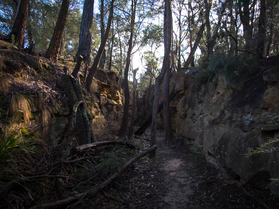
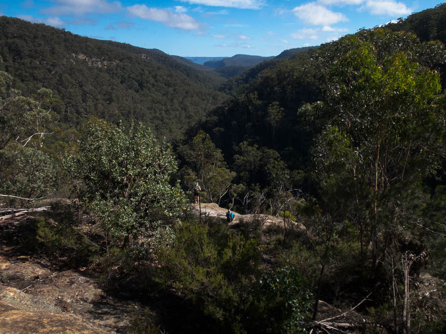
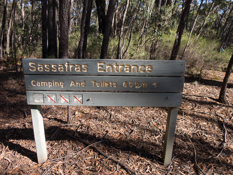
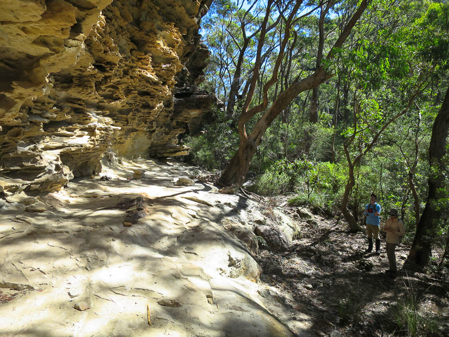
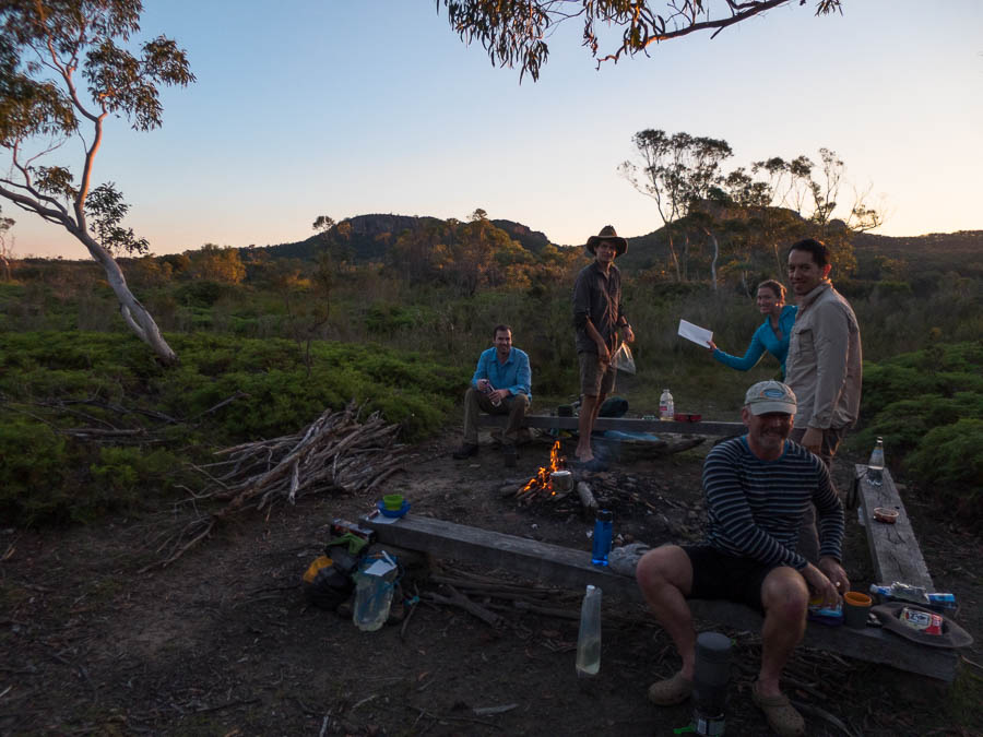
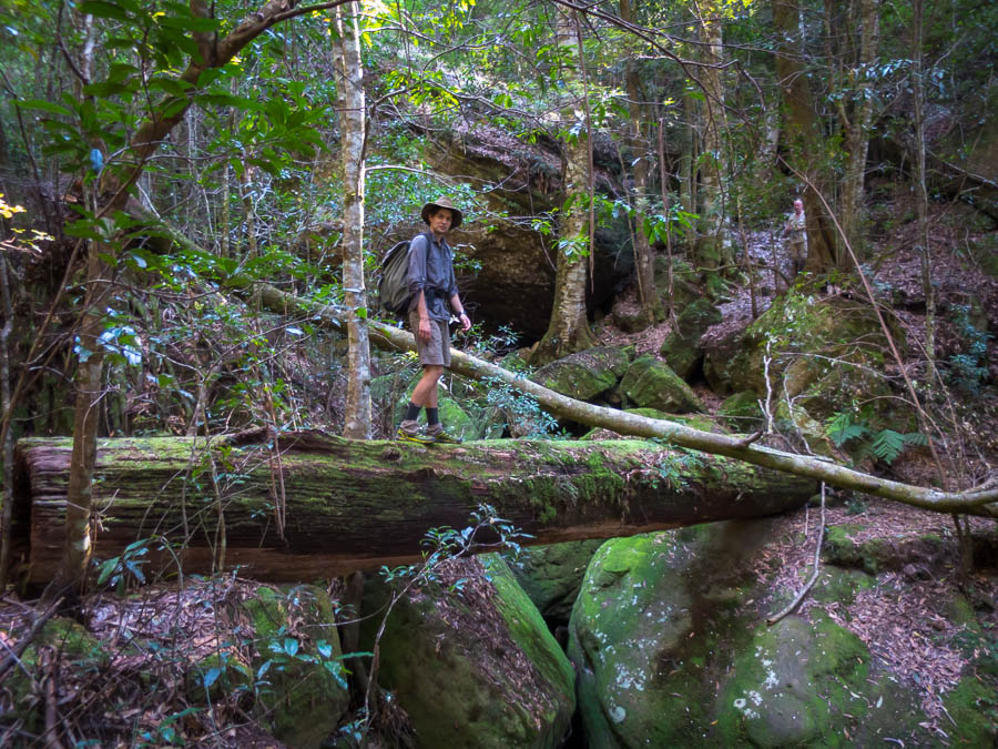
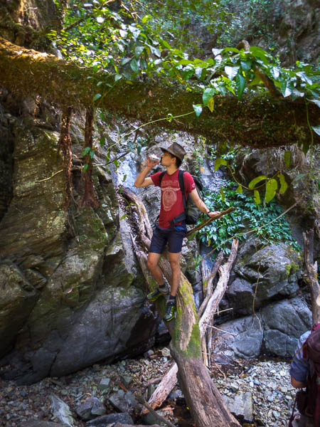
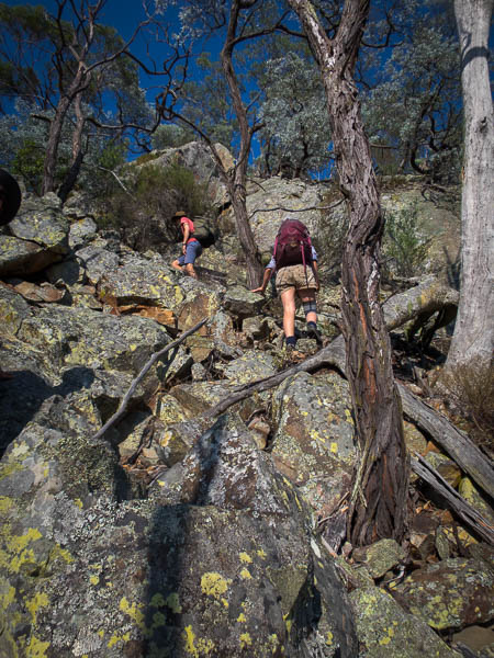
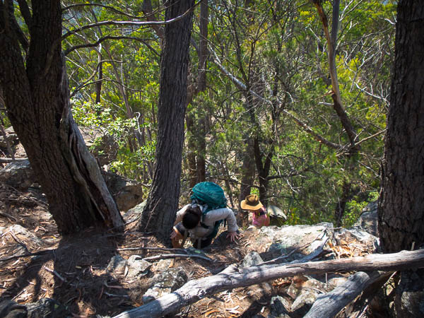
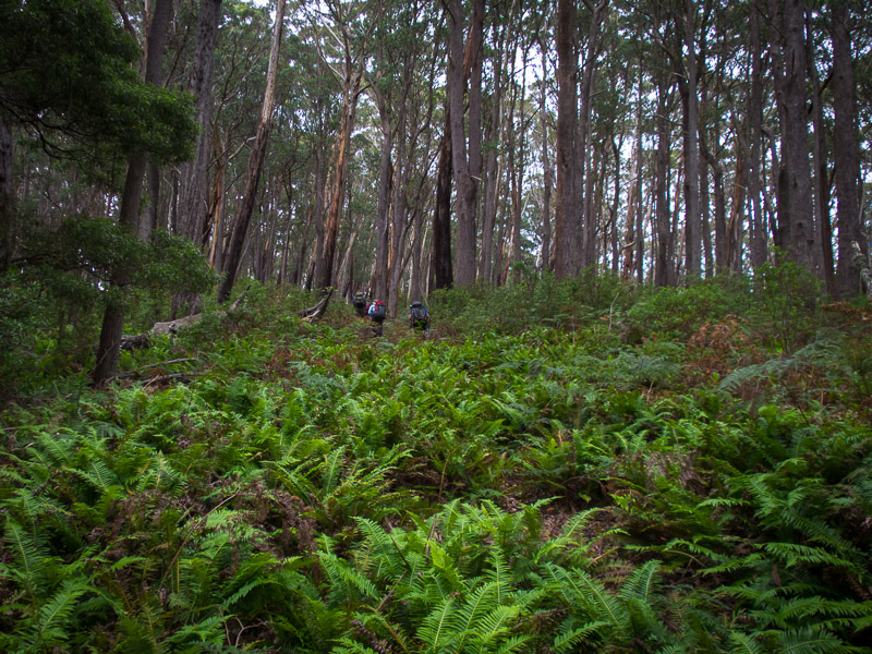
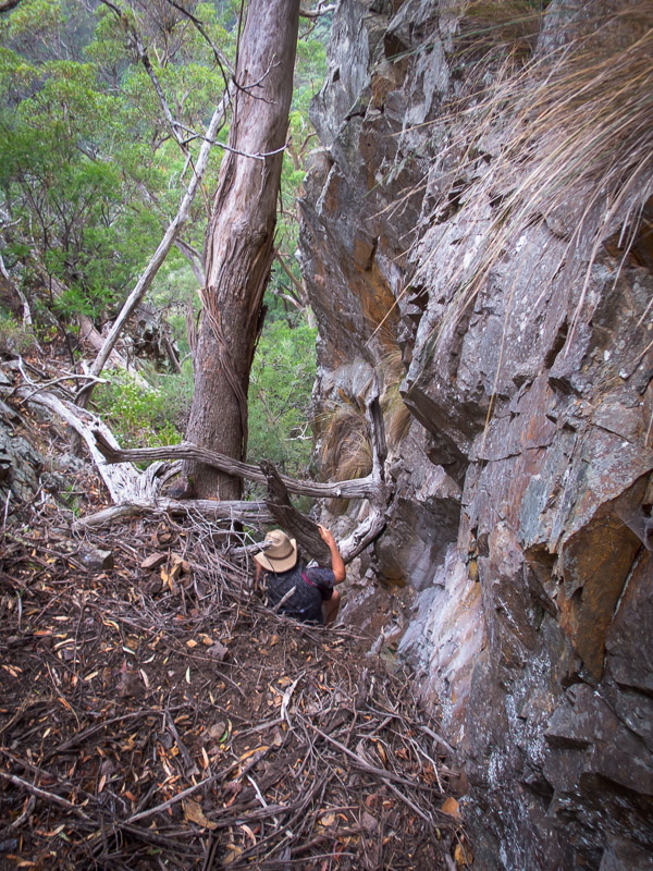
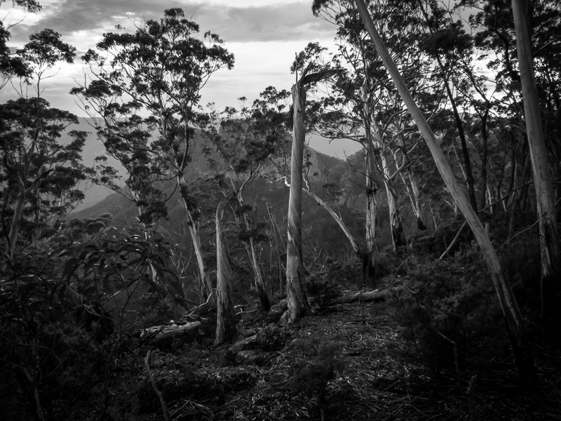
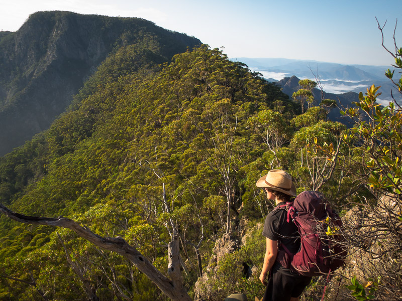
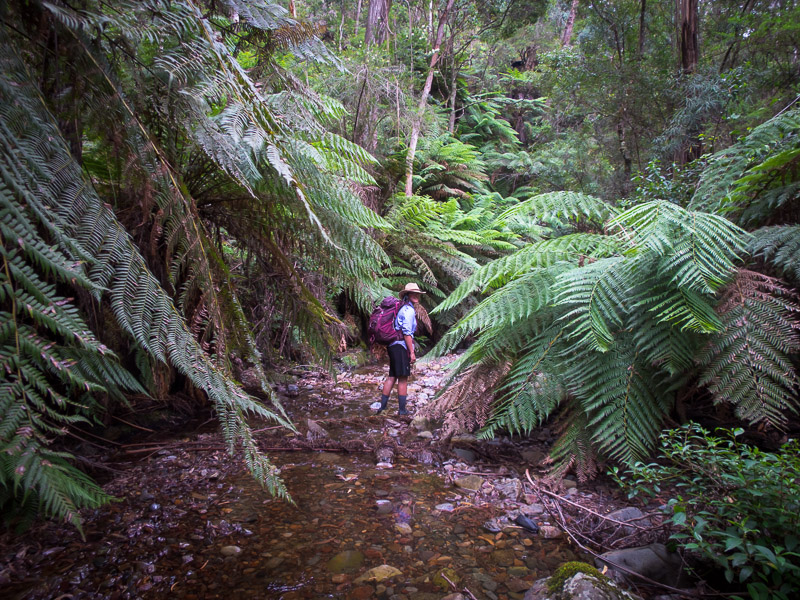
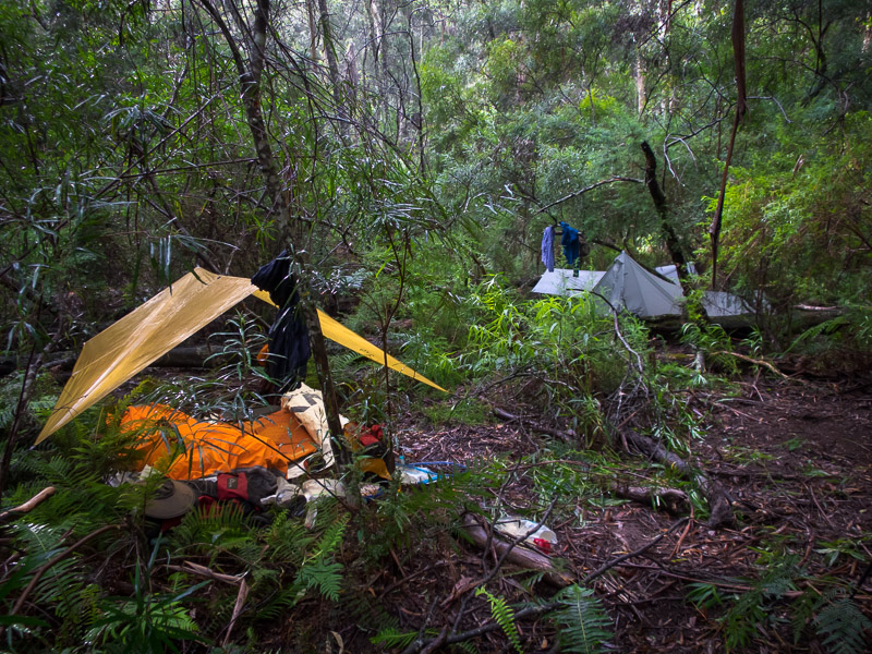
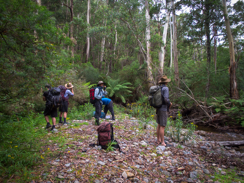
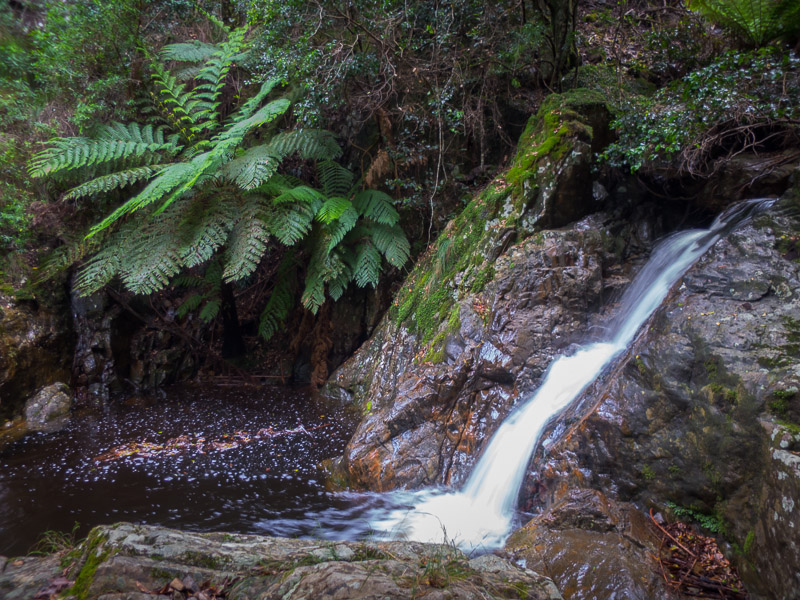
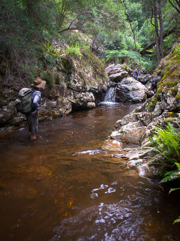
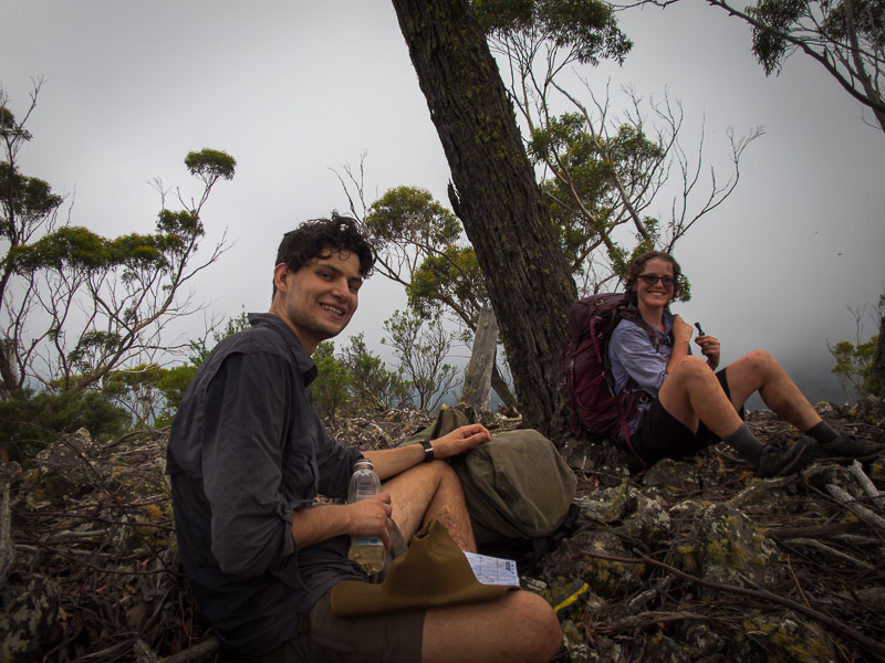
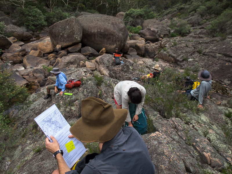
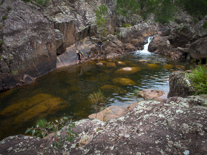
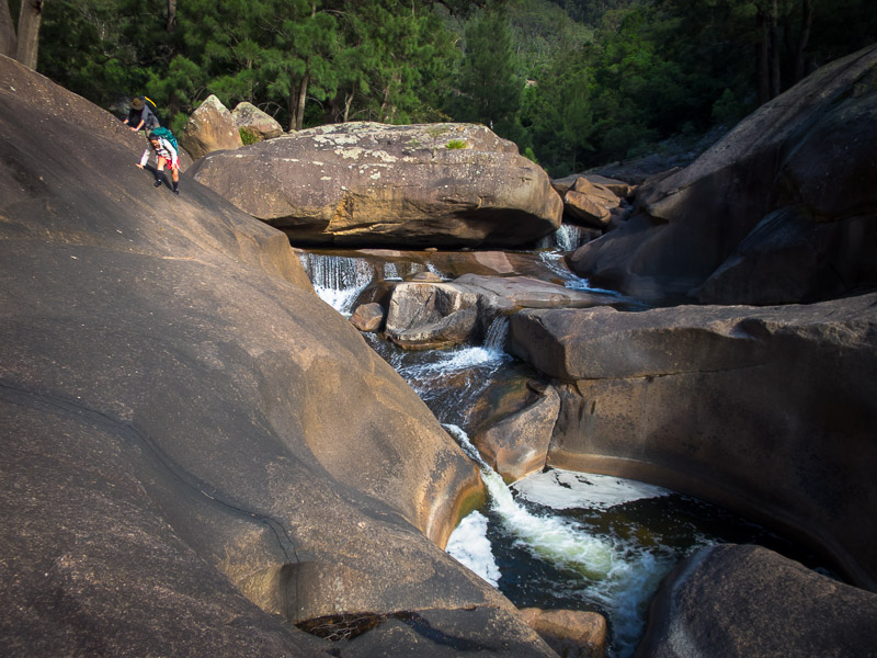
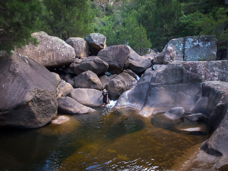
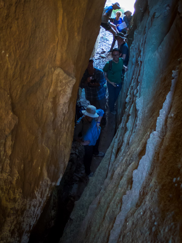
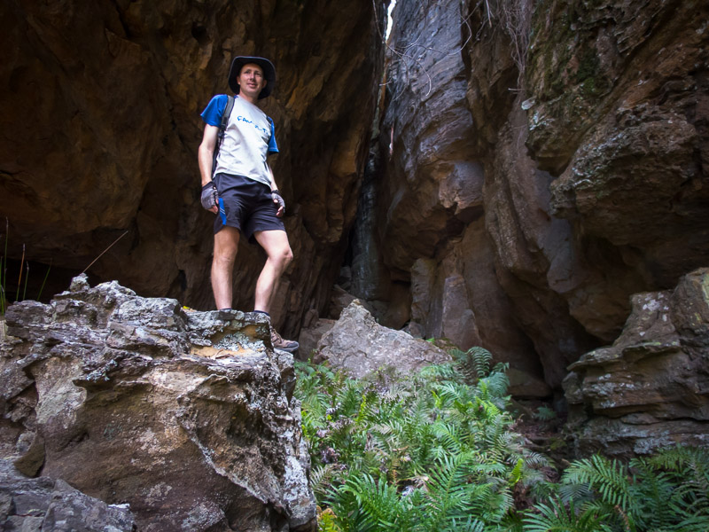
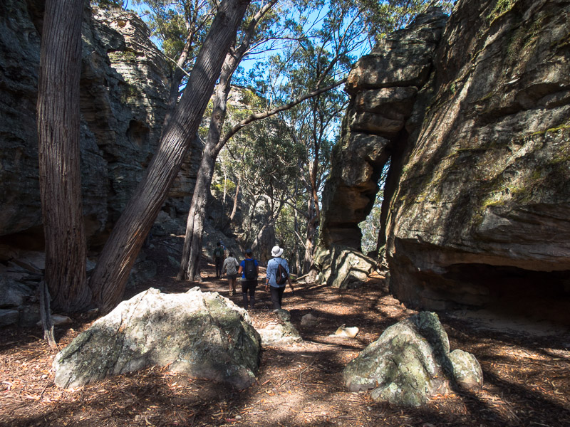
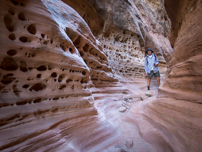
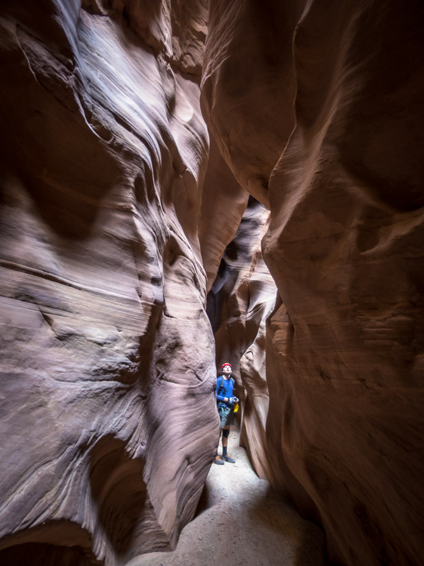
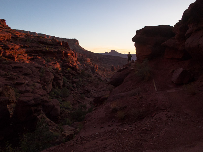
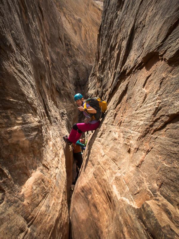
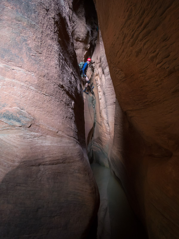
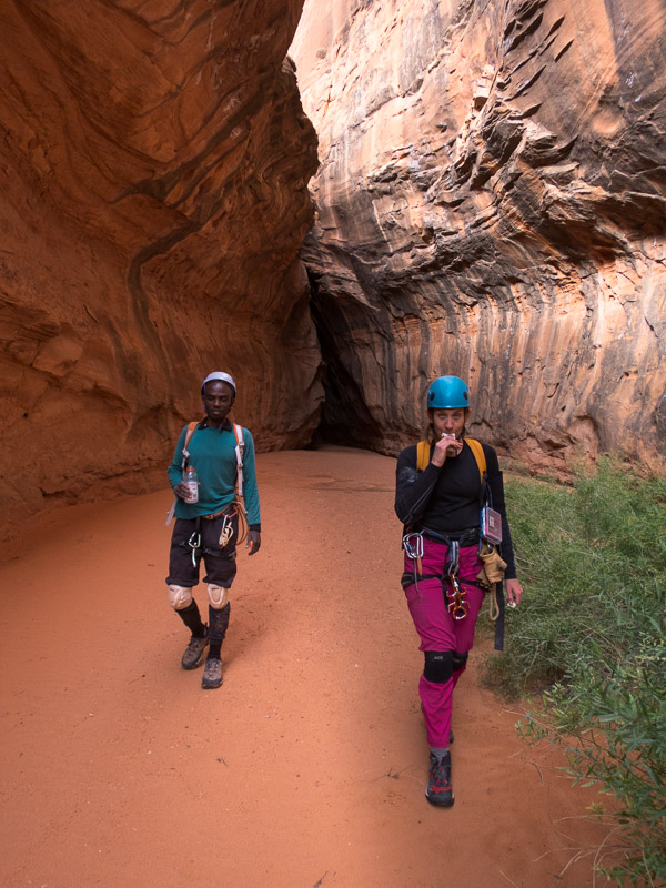
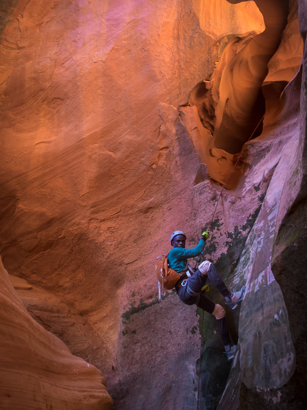
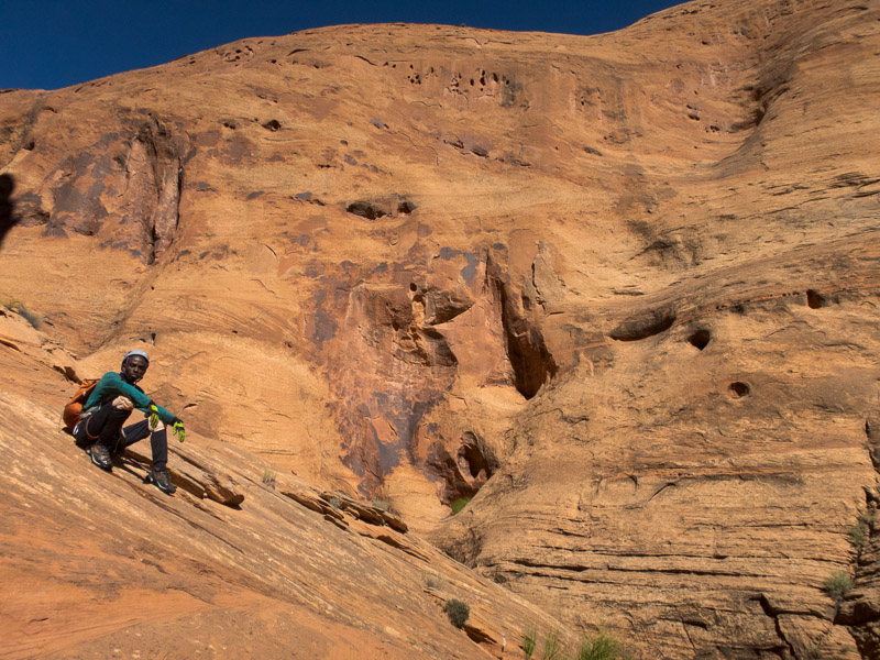
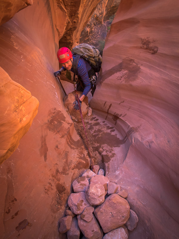
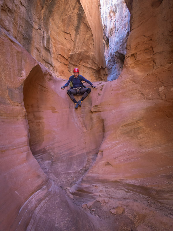
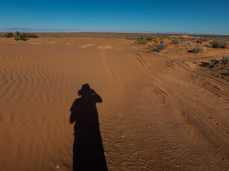
Our impetus to leave Moab was plans to meet Angela in Robbers Roost for a few days. The weather forecast was a bit dodgy but as we didn’t really have a better plan we decided to head into the Roost anyway. Angela had brought along her friend, Sam, who was visiting from Uganda. Sam had done his first canyon the day before, so we decided White Roost (East Fork) was probably a more responsible option than Chambers for his second canyon, though Angela assured us he was a natural at stemming. Plus I’m not sure the car would have made it to the Chambers trailhead.

IMG_1332

Angela near the start of White Roost

IMG_1334

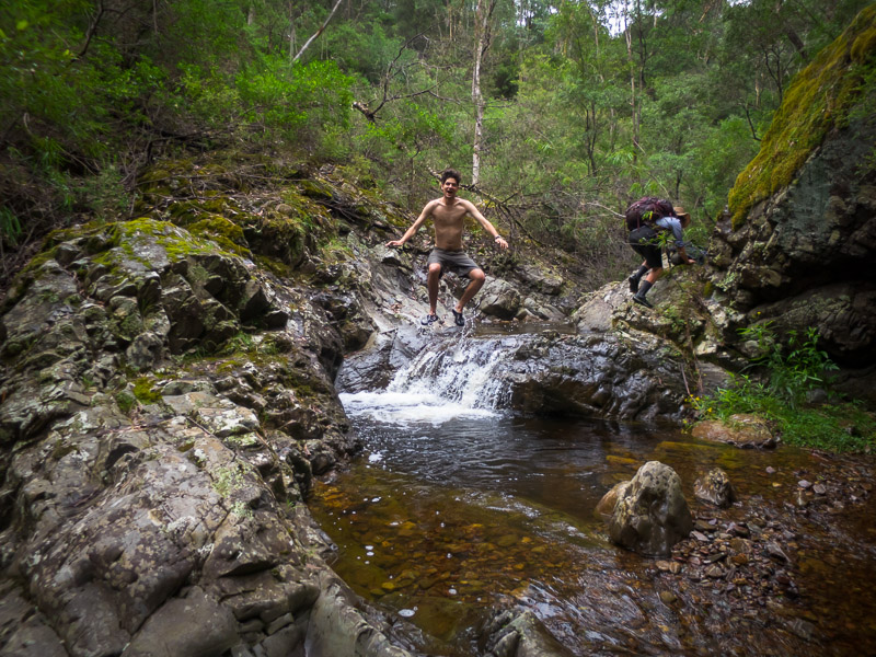
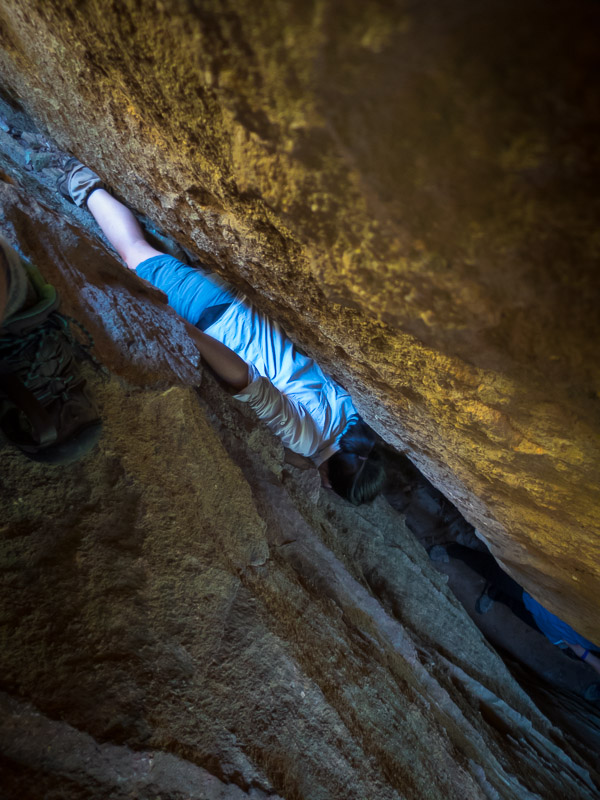
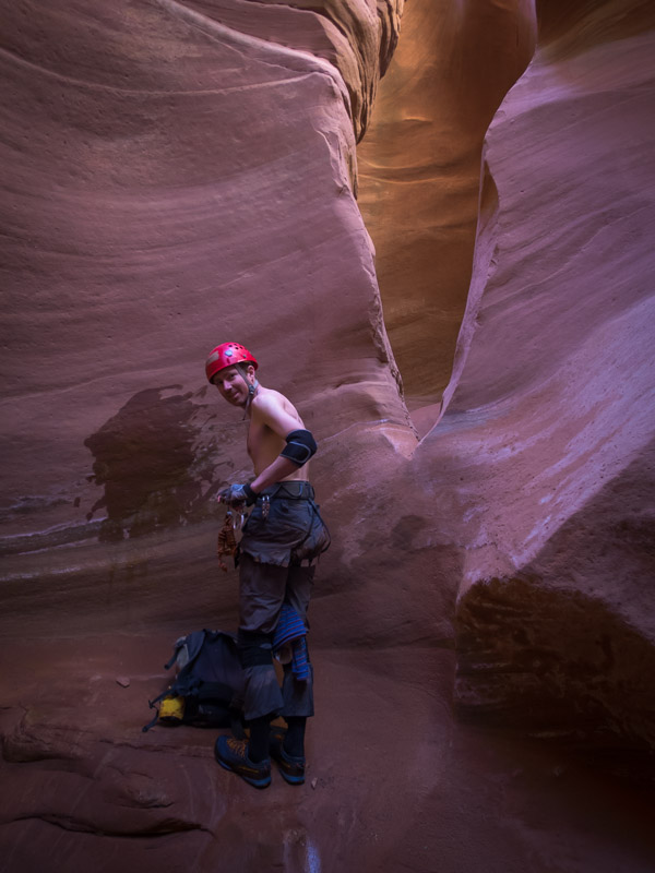
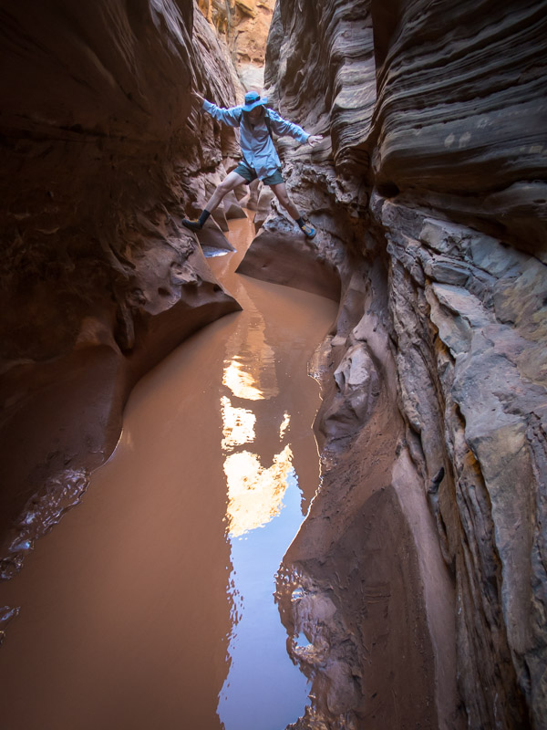
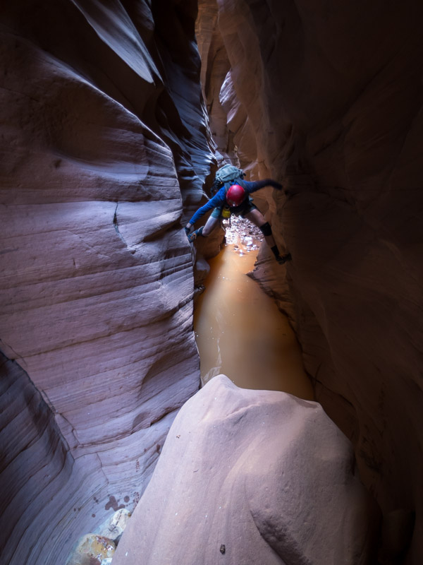
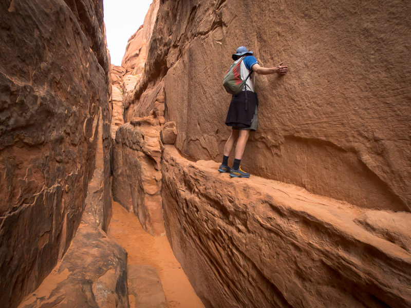
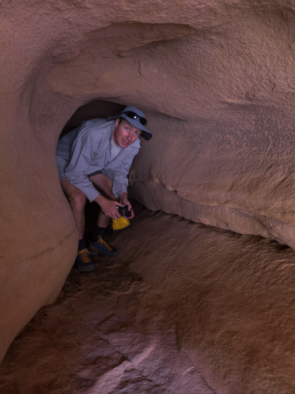
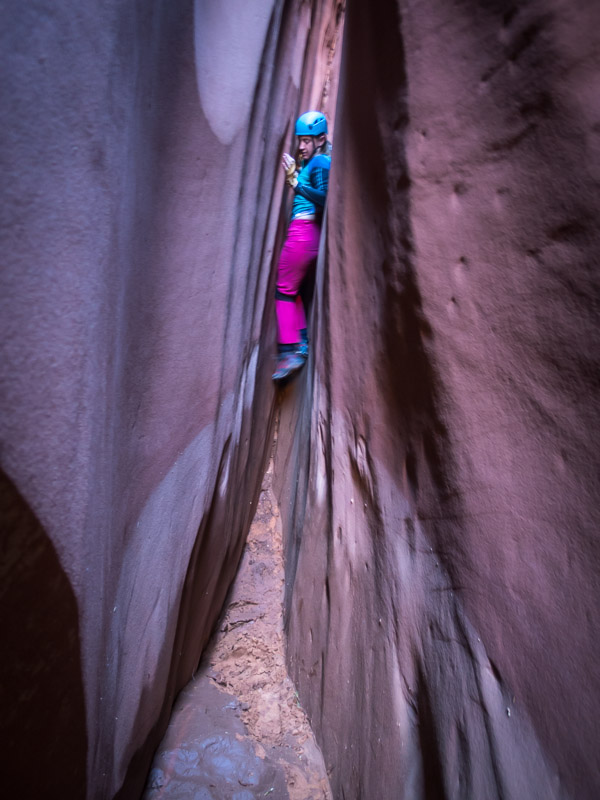
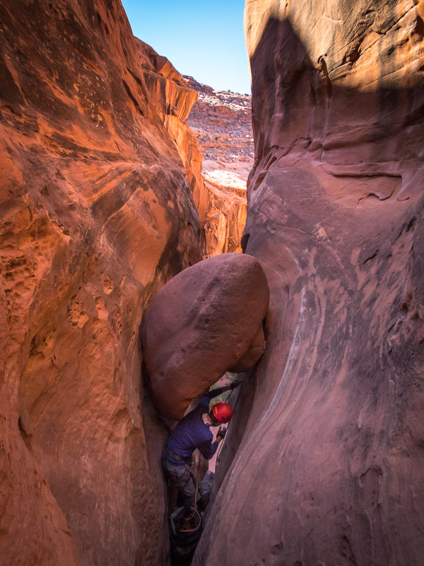
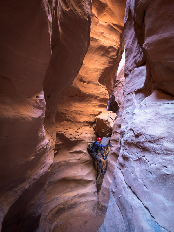
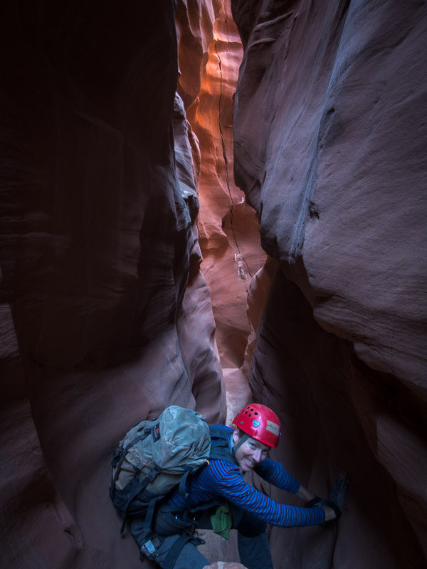
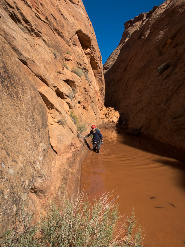
Getting some stemming in early to avoid the water

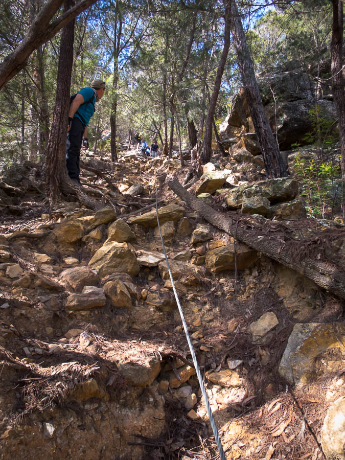
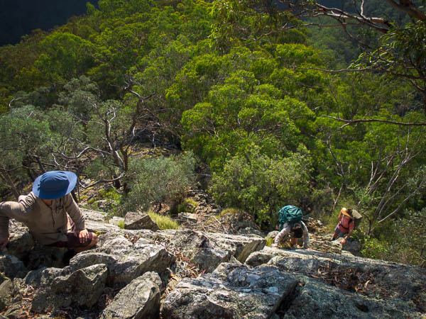
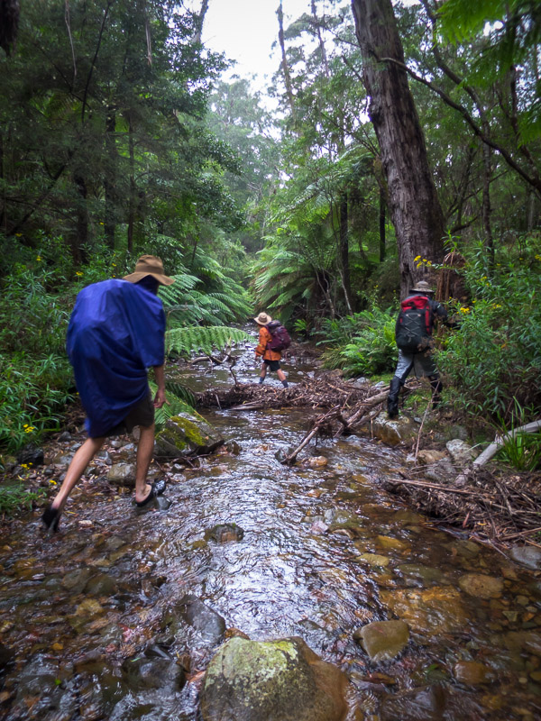
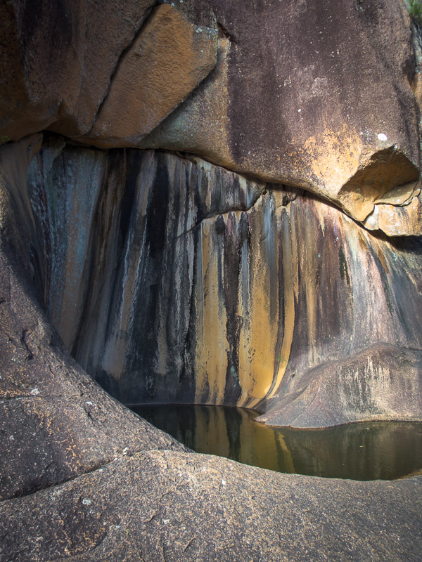
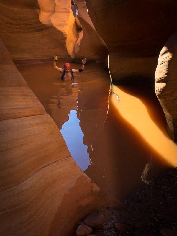
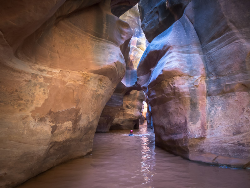
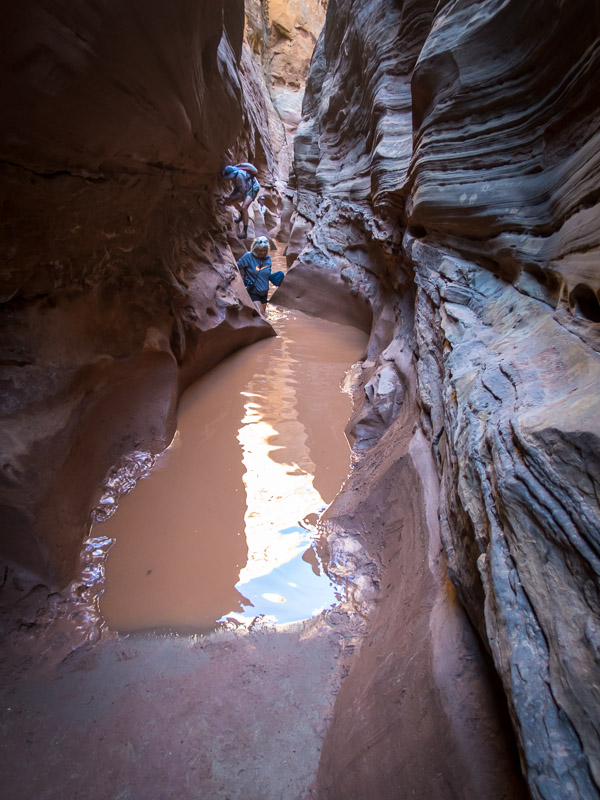
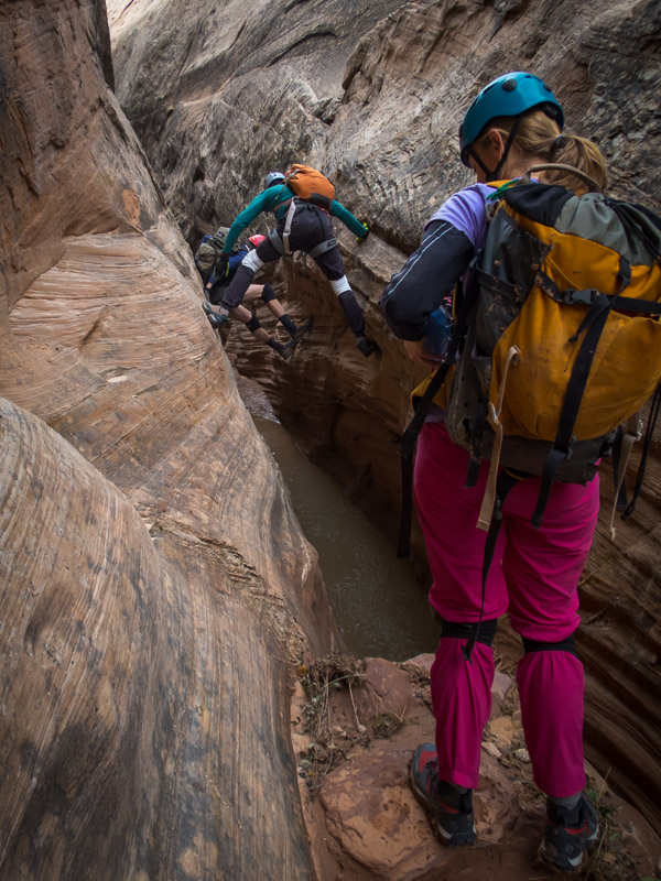
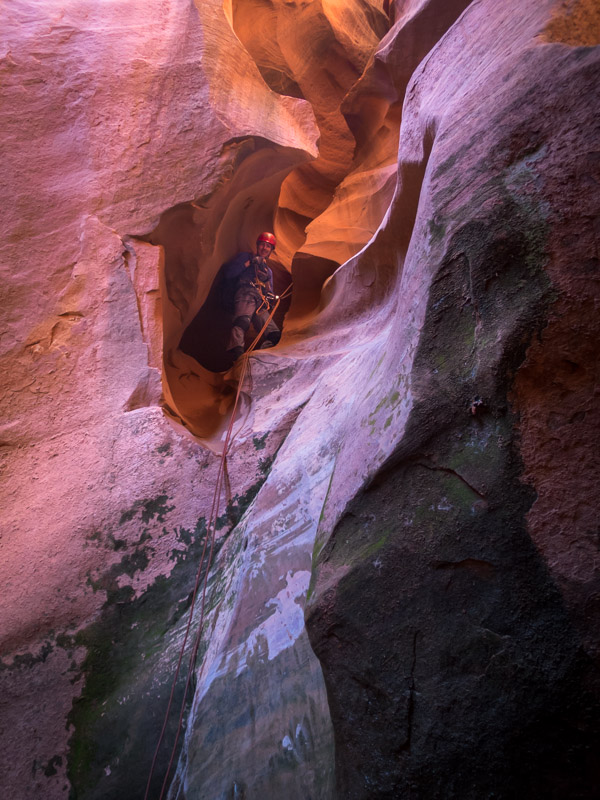
True to form on this trip White Roost was wet and muddy – it was Angela’s 3rd time through and the wettest she’d seen it.

IMG_1335

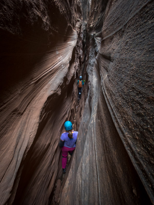
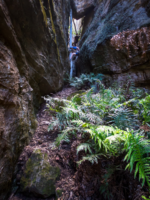
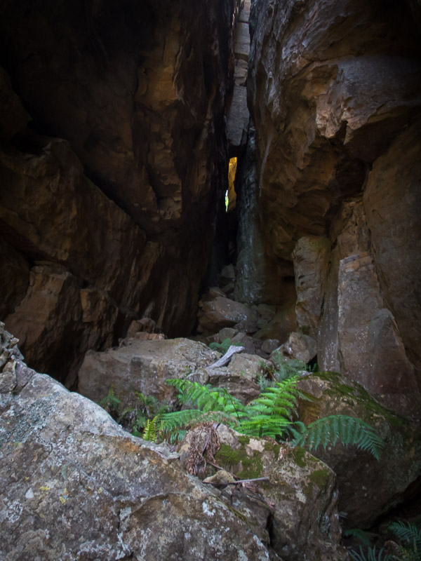
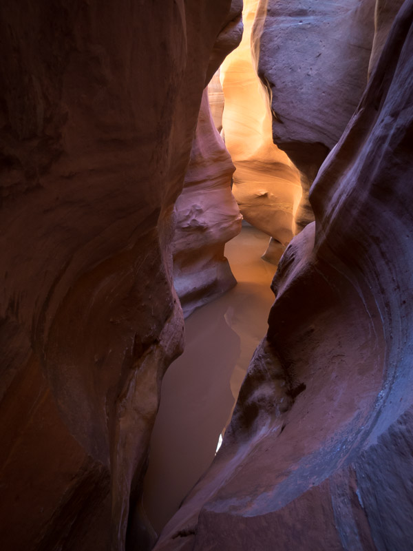
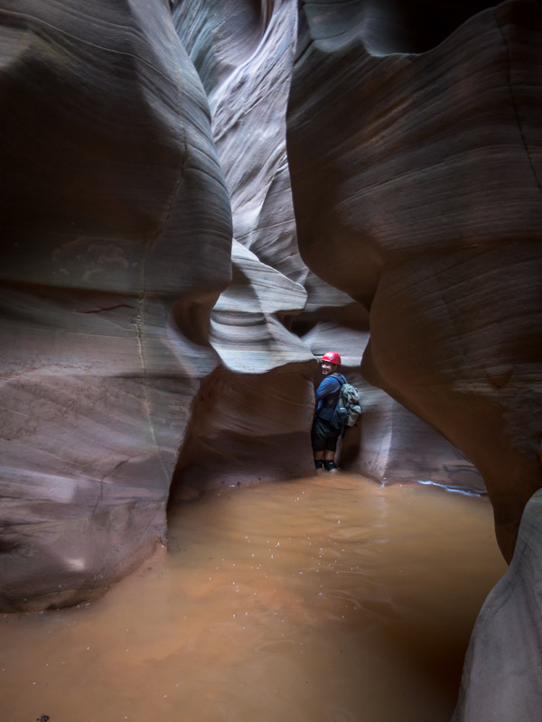
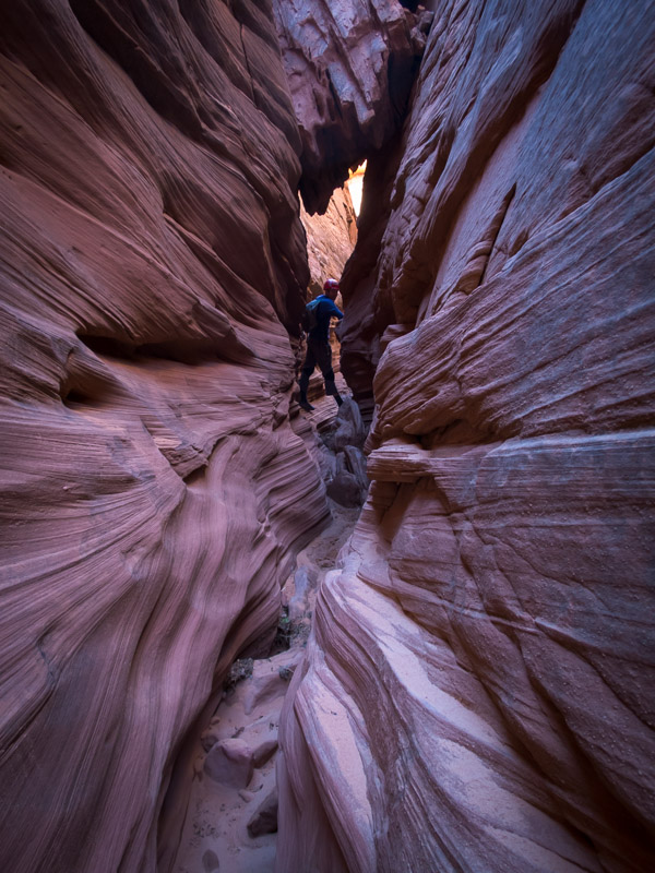
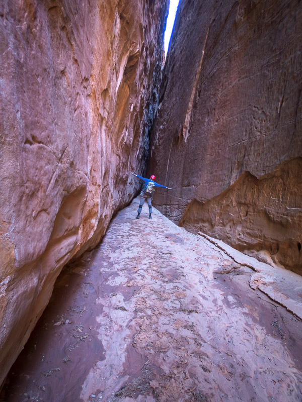
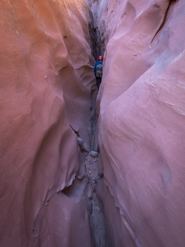
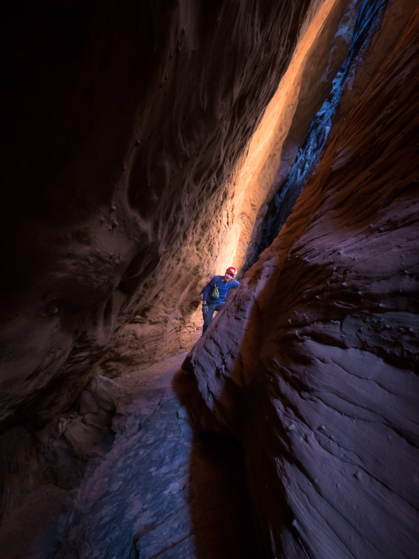
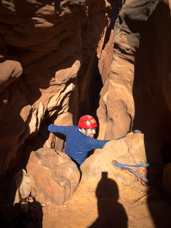
Narrow section of White Roost

IMG_1344

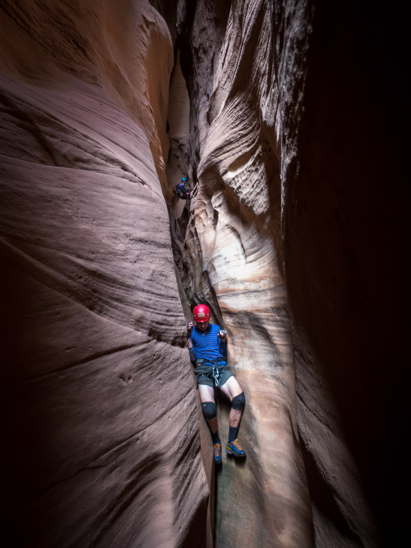
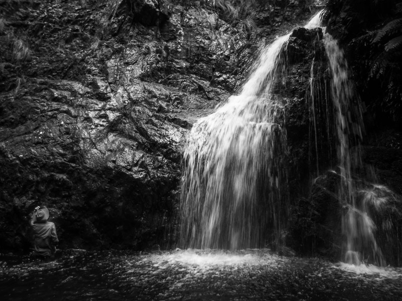
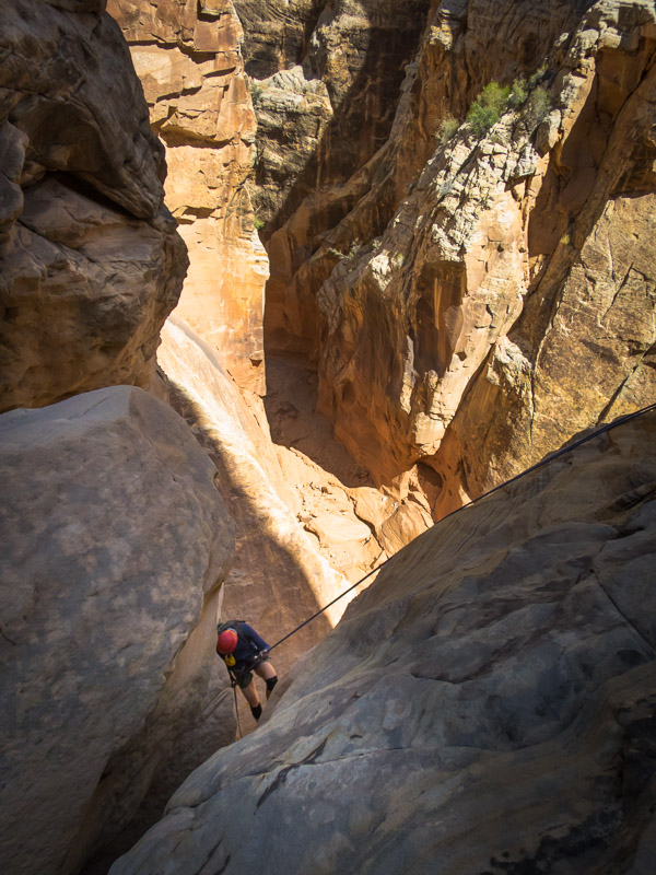
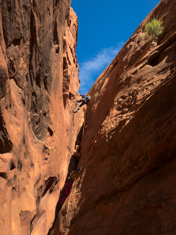
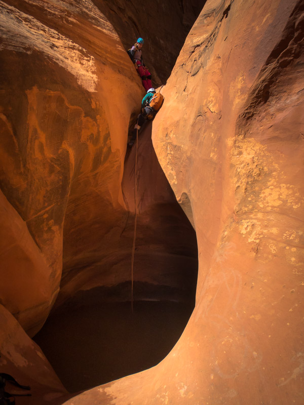
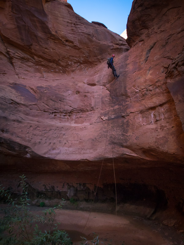
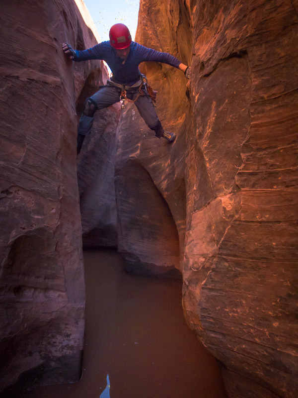
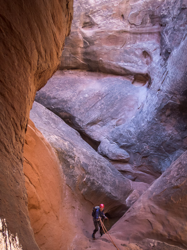
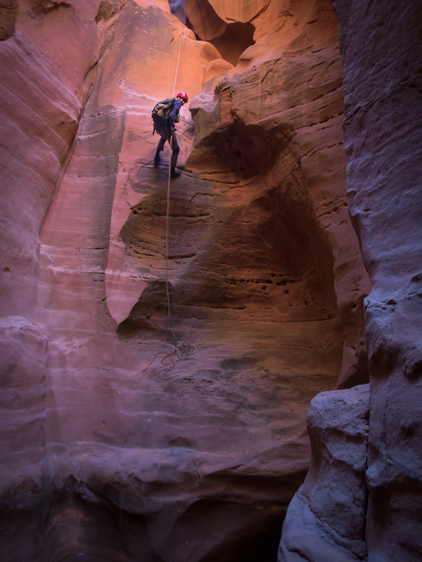
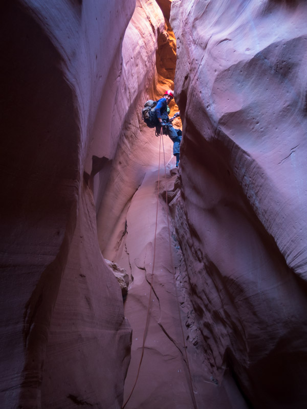
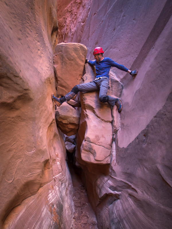
Tom elevatoring with an abseiler in the background
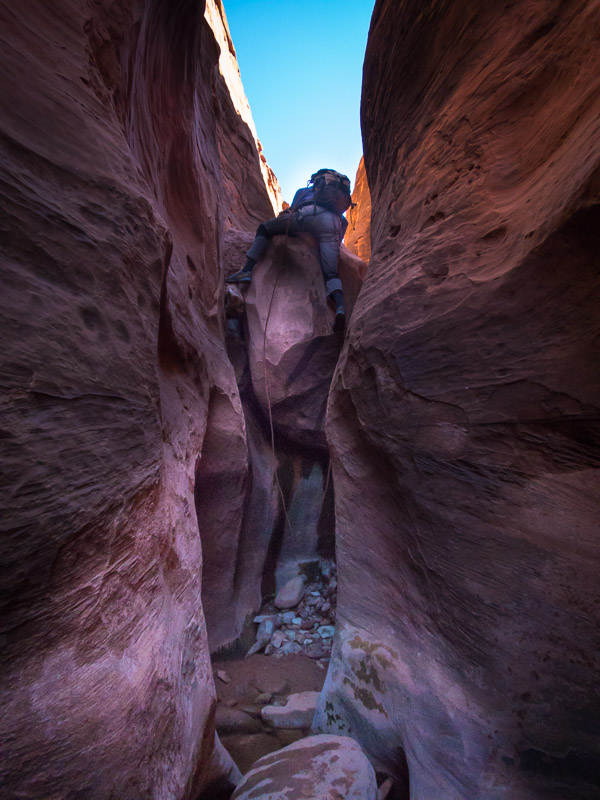
IMG_1347

Tom abseiling

IMG_1350

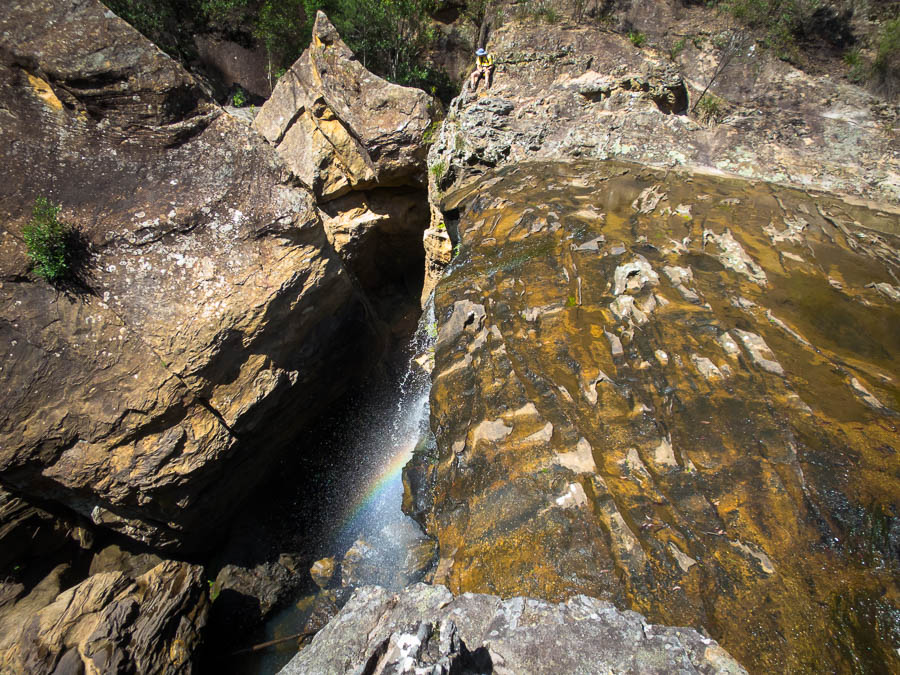
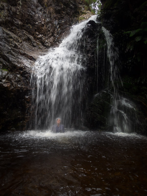
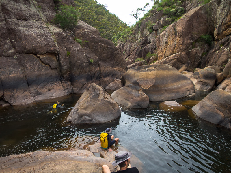
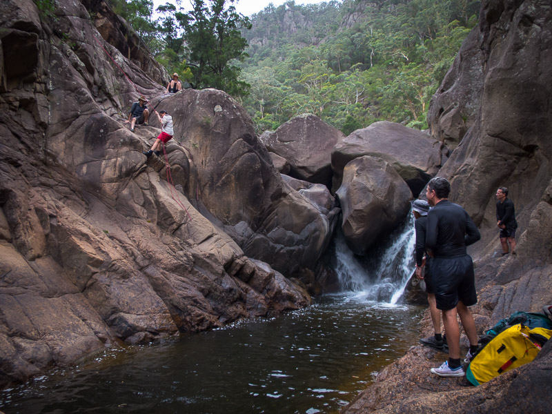
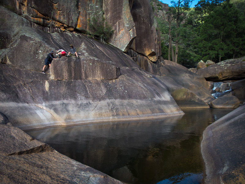
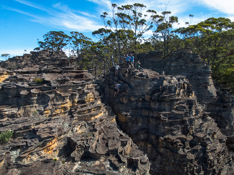
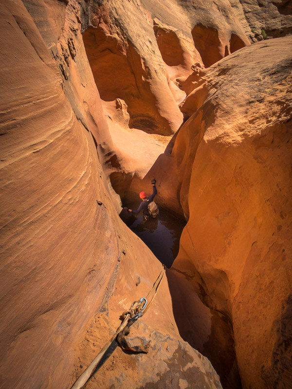
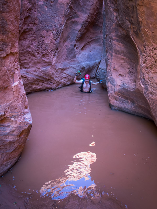
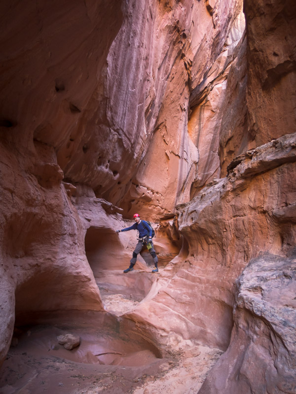
Tom in the pool, Sam about to downclimb, Angela abseiling
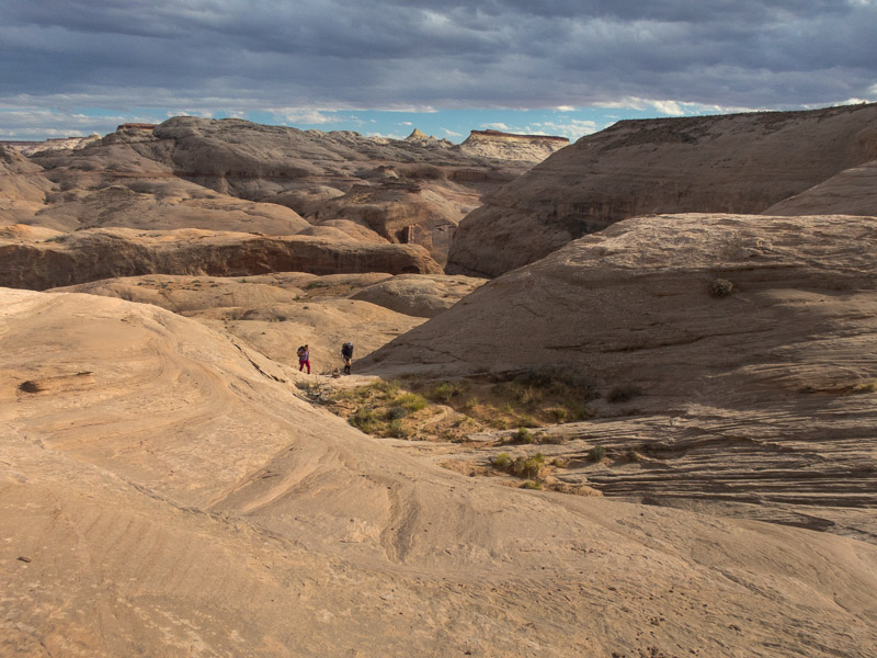
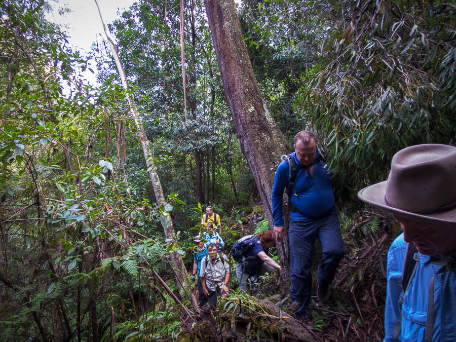
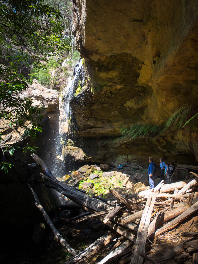
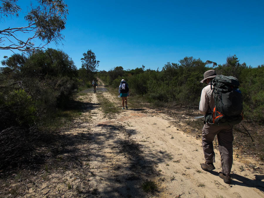
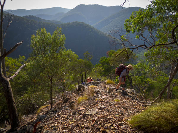
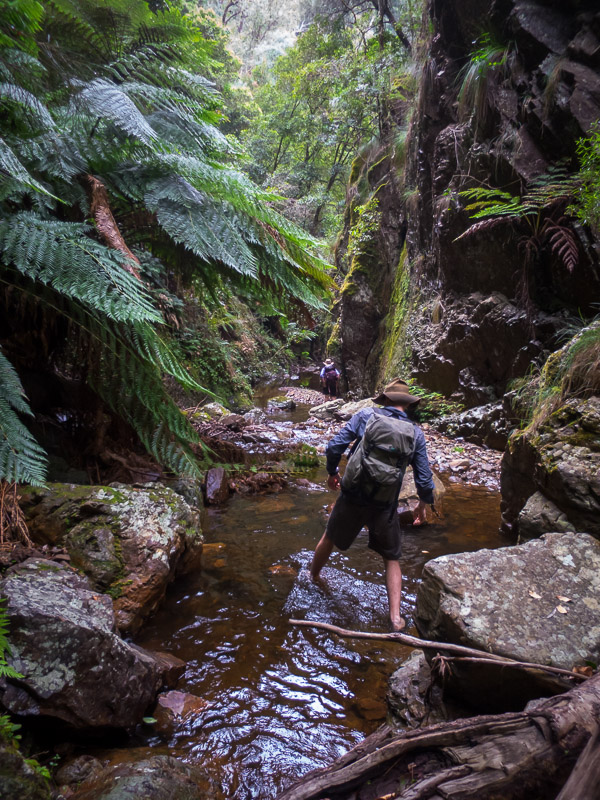
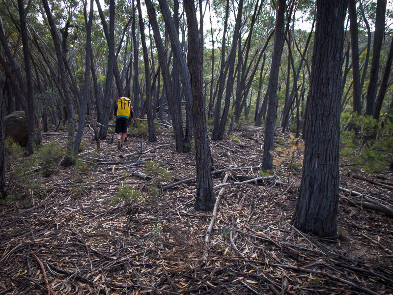
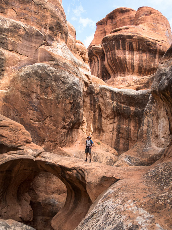
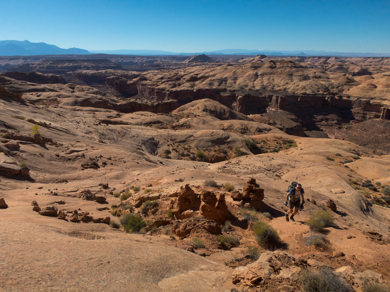
IMG_1353

The walk out

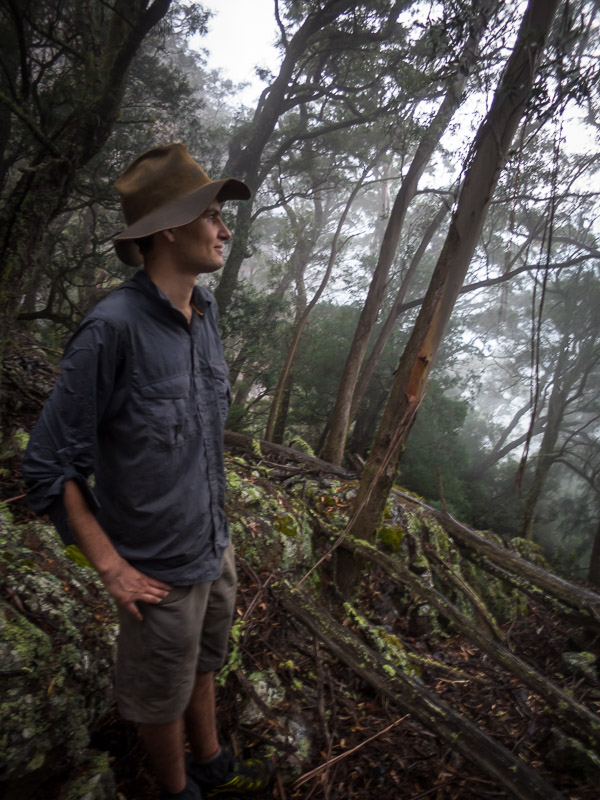
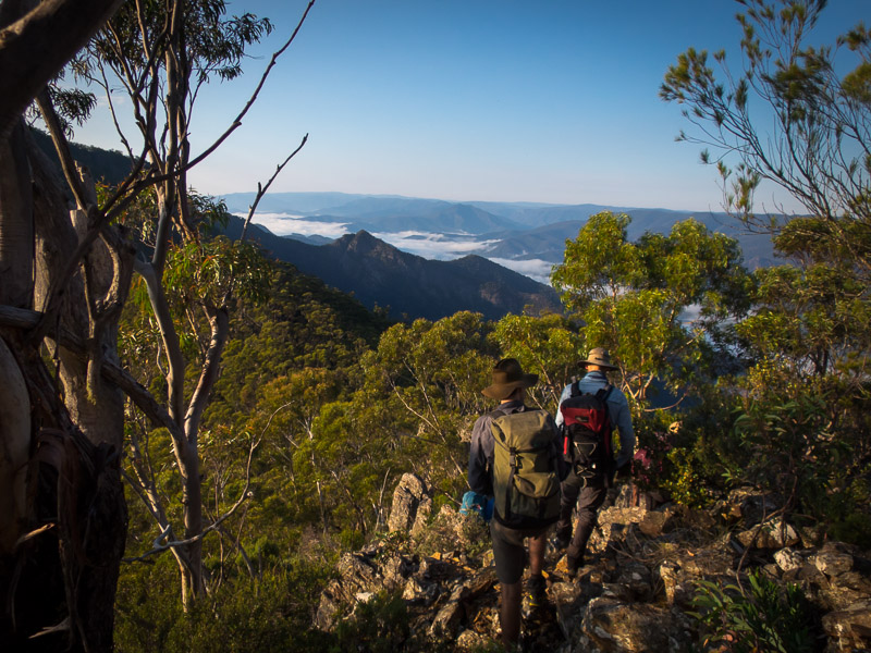
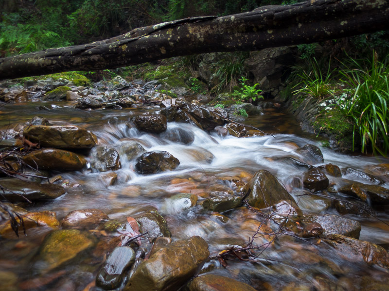
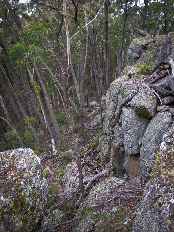
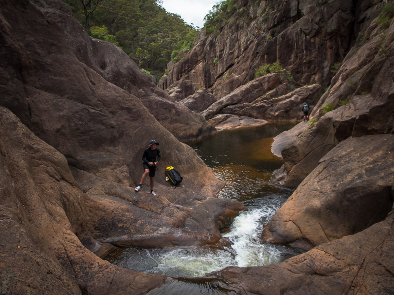
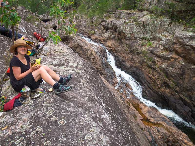
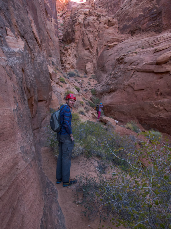
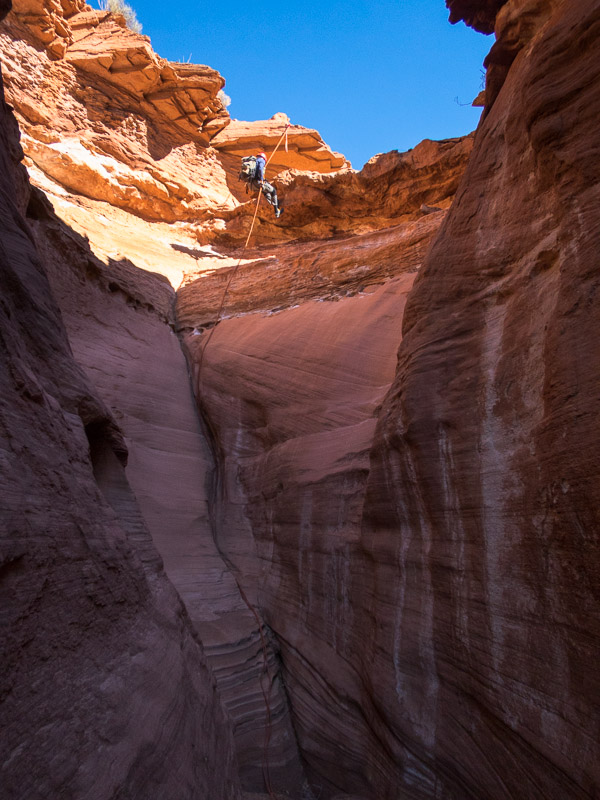
We were pretty inefficient on our ropework and so it wasn’t an overly quick trip through. By the time we got out it was windy and cold, and with the forecast, combined with how cold some of the group had been in the wet sections in the canyon we decided the Roost was not the place to be tomorrow. So off we went to North Wash.

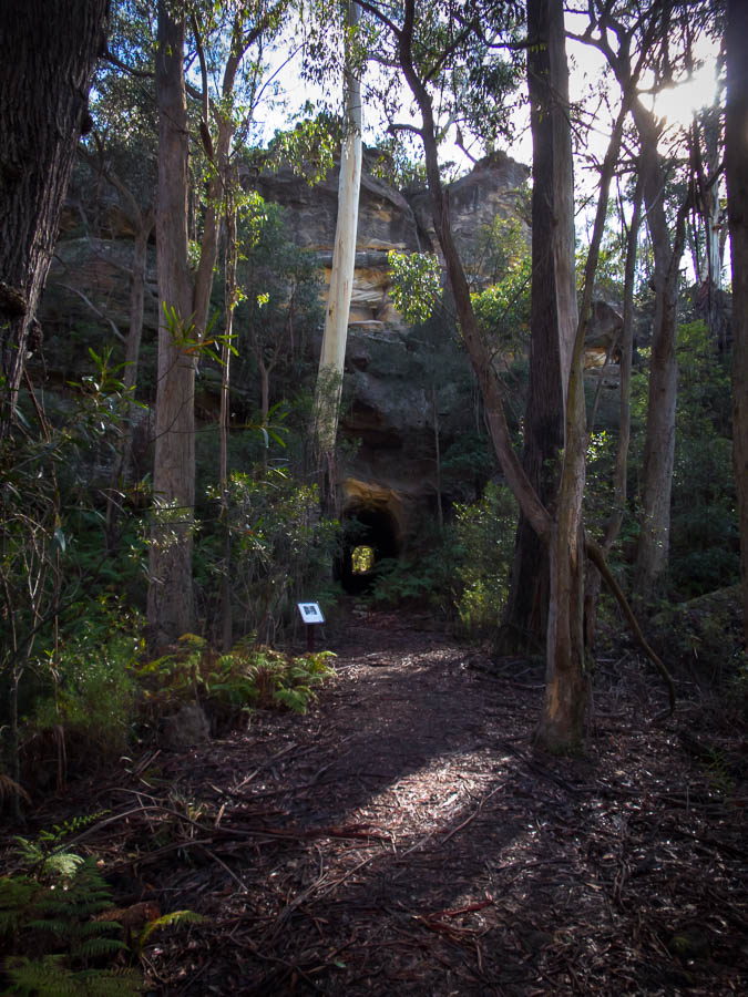
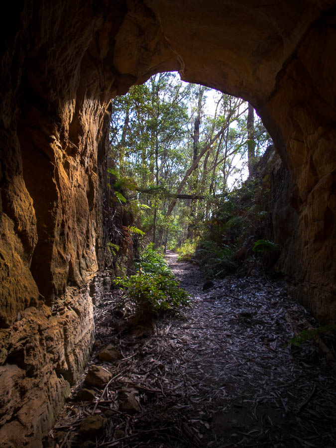
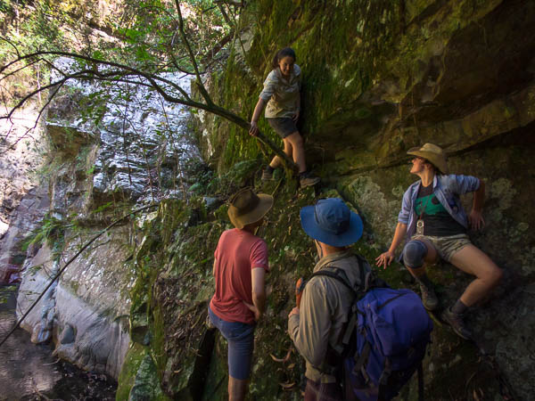
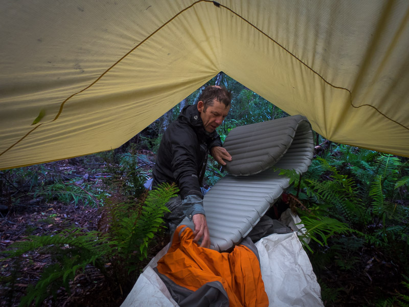
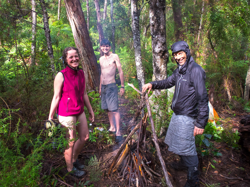
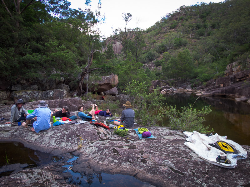
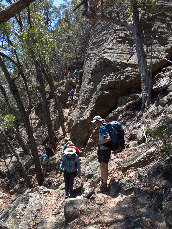
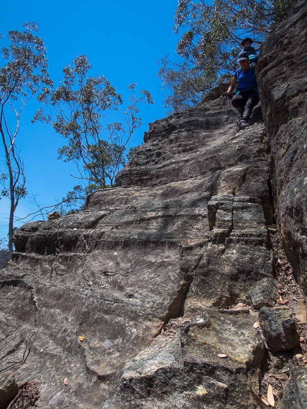
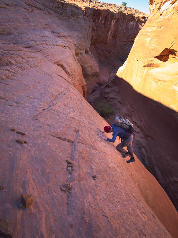
It was far more pleasant at Sandthrax campsite, and we were pleased to accept an invite from Oliver and Lisa to join them round their fire. We woke to rain so we didn’t rush to get up. It was cold enough that Sam decided a fire was an essential part of the morning. Eventually we decided we couldn’t sit round the fire all day and made moves to Hog 2. I was very close to sitting in the car as I was so cold I couldn’t move my hands properly. In the end I was glad I didn’t, the weather improved a bit and of course once we were walking the body warmed up. Tom was keen to have a look at the shortcut route (which required some climbing), fortunately he made easy work of it and soon had a rope down for the rest of us.

IMG_1354

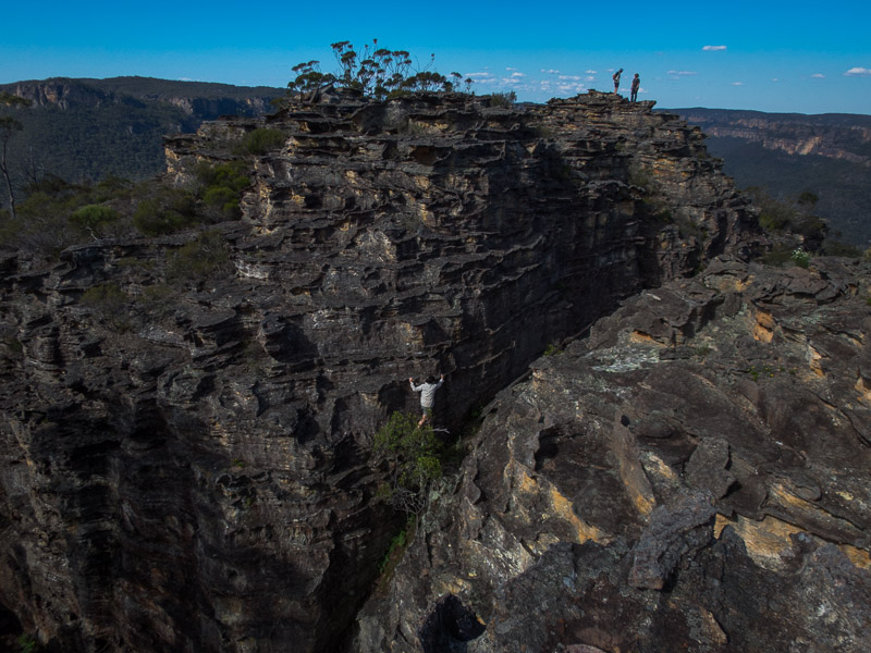
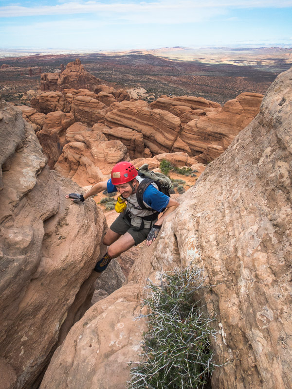
Tom leading up the shortcut ‘exit’ for the Hogs

IMG_1357

Dropping into Hog 2

IMG_1362

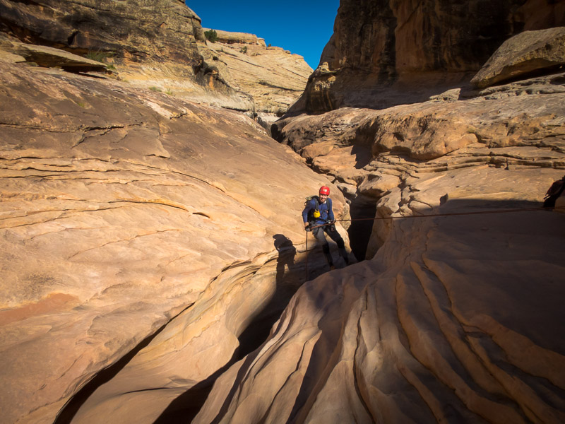
Tom on the 17m (not 40m!) abseil

The beta we had said there was a 40m abseil, we’d been dubious at that length in North Wash so had brought a 36m rope and 2 x 20m ropes. We spent a lot of time setting up a releasable anchor with the 36m in case it was actually 40m and I needed to be lowered. In the end the abseil was about 17m total. Glad we had all those ropes!
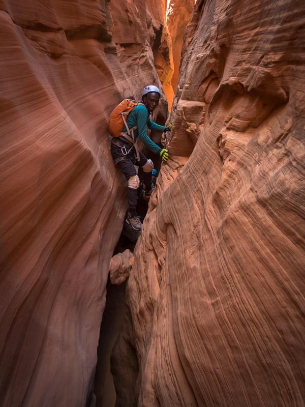
IMG_1363

Sam in Hog 2

IMG_1375

Tom abseiling in Hog 2

IMG_1376

Angela and Sam in Hog 2

IMG_1380

More stemming

IMG_1381

The final drop which I probably should’ve tried downclimbing instead of faffing around replacing the anchor and abseiling.

IMG_1388

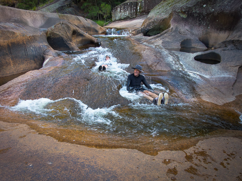
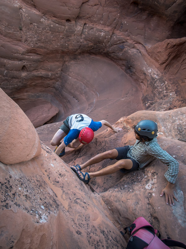
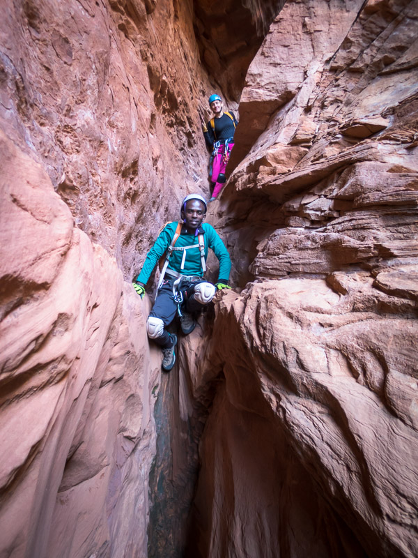
Sam and Angela having been released by the canyon

Hog 2 was a fun canyon and a perfect choice for the weather. Possibly the first canyon of the trip that I didn’t have wet feet by the end of the day.
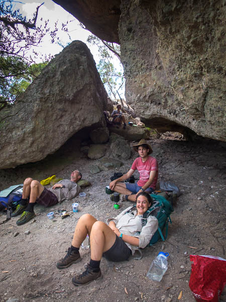
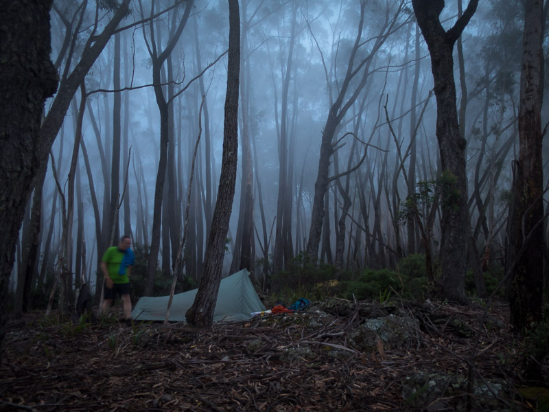
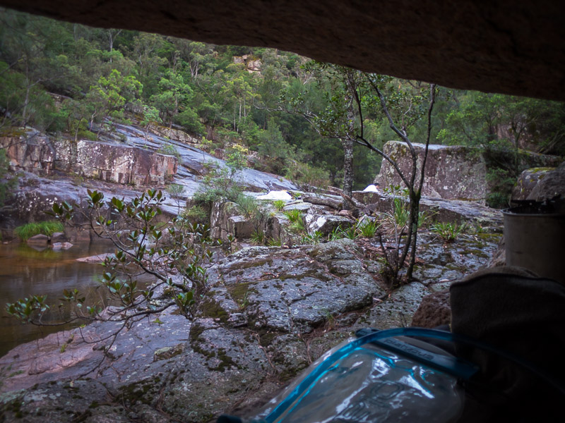
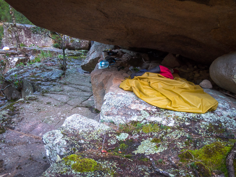
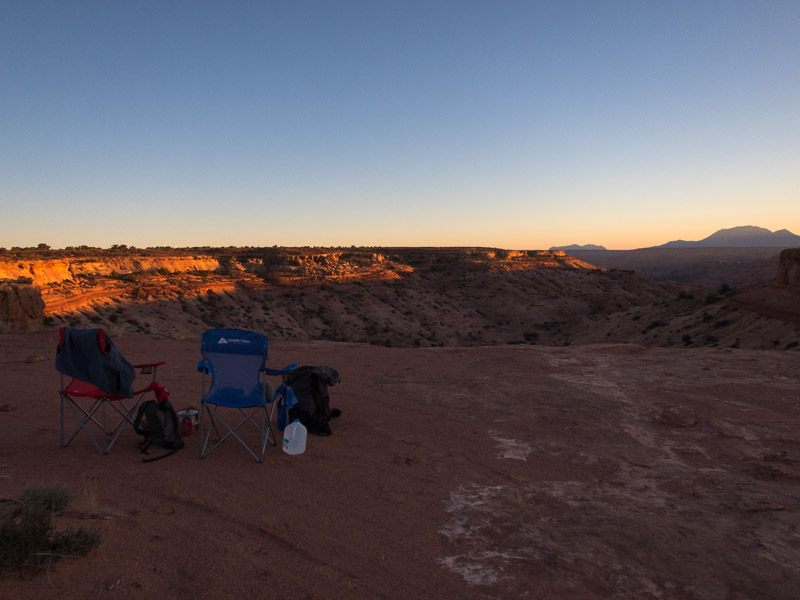
IMG_1389

Sandthrax campsite

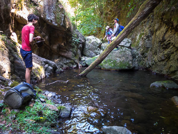
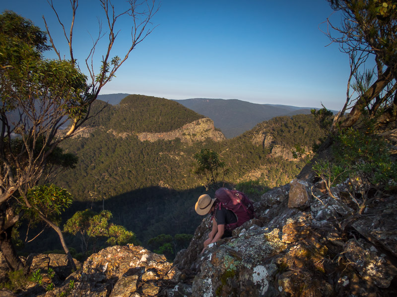
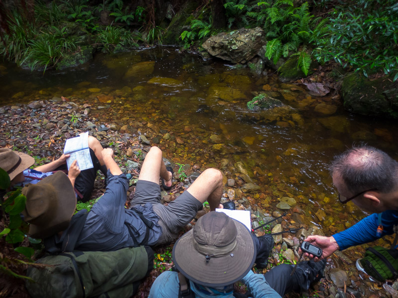
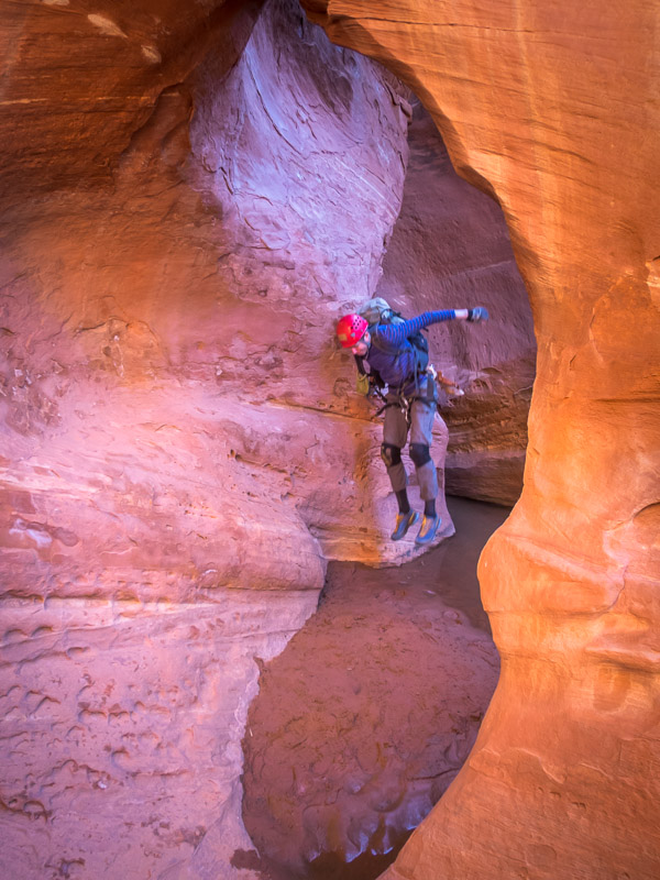
So buoyed by the successful day in Hog 2 there was some talk of heading back to the Roost the next day. But the forecast was for cool temperatures and we expected the canyons in the Roost would be still holding water so elected for another day in North Wash. Fortunately I had downloaded the North Wash section of the Road Trip Ryan app just before we left Moab! Going through all of the beta we soon narrowed down our options (needed to be dry, not require any specialised gear, not need 4×4 access, not be too long…). Eventually we settled on Monkey Business. The car made it through on the road and we were off.

IMG_1394

Angela early on in Monkey Business

IMG_1398

Tom in Monkey Business

IMG_1400

Deploying the rope

IMG_1405

Sam abseiling

IMG_1408

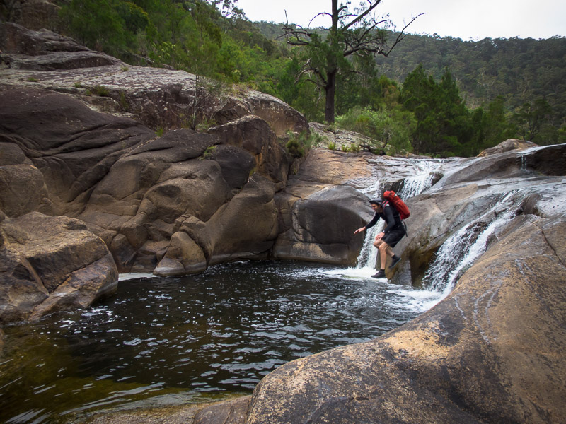
Tom half-way down the two stage rappel

It threw up enough challenges to keep things interesting and fortunately the semi-keeper pothole wasn’t too wet (waist deep?), both Tom and Sam managed to get out unassisted. Angela wasn’t too keen on the natural anchors on the final two drops but there weren’t a lot of other options.

IMG_1414

Tom about to get out of the semi-keeper pothole

IMG_1415

Angela and Sam above the semi-keeper

IMG_1416

Sam above the final abseil

IMG_1418

Tom on the final abseil

Angela also wasn’t that thrilled when she realised the exit was the same one as for Shenanigans which she’d done earlier in the year – we made it up the crumbling gully without any issues and it wasn’t long before we were back at the car.

IMG_1421

Helmets going back on in anticipation of the crumbly, chossy rock of the exit gully

Back at Sandthrax we farewelled Angela and Sam, leaving decision-making for the next day with just me & Tom.

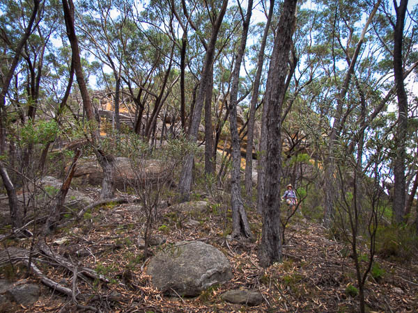
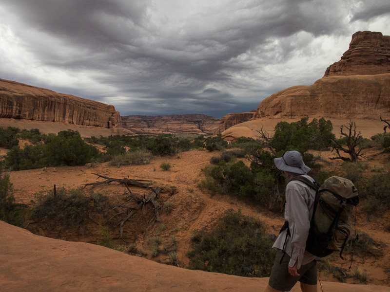
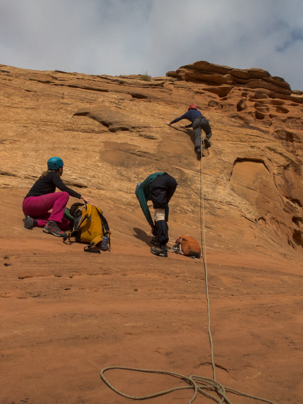
We settled on a short canyon, Morocco, in the morning, then heading to Hanksville to try and get a weather forecast and make further decisions. We’d been told by a guide at Hog Springs that Morocco was full (what a surprise) but we decided there wasn’t enough swimming to warrant wetsuits. Things went fine until we got to a drop after the third abseil.

IMG_1427

Tom avoiding the first pool (photo taken through a lovely arch but you probably can’t tell it’s an arch)

IMG_1428

Tom rigging the second abseil

There wasn’t an obvious anchor and Tom reckoned it was a downclimb down a 6m chute. I was dubious but such is my faith in Tom’s judgement that I agreed to give it a go. It wasn’t long before I concluded it was a bad idea and I was going to go for a very fast slide into a pool of unknown depth. Tom hurriedly anchored the rope to himself and sent me down a line as I precariously wedged myself on the wall. The line came down just as I was losing my position enabling me to slow down my arrival into a chest-deep pool. Convinced that it should have been an abseil I made Tom look about for an anchor he couldn’t see anything. Tom managed to downclimb by bridging over the initial drop and down in a far more exposed line (which I had originally wanted to do but chickened out on). In retrospect it must have been the fourth abseil based on what was to come in the canyon. Fortunately the only injury was my wet clothing!

IMG_1432

Tom downclimbing the fourth drop, after I got a faster than expected entry to the pool by trying to downclimb directly down the chute

IMG_1435

Tom making things look awkward

IMG_1441

Getting wet

IMG_1442

The final abseil, with deadman/cairn anchor

IMG_1445

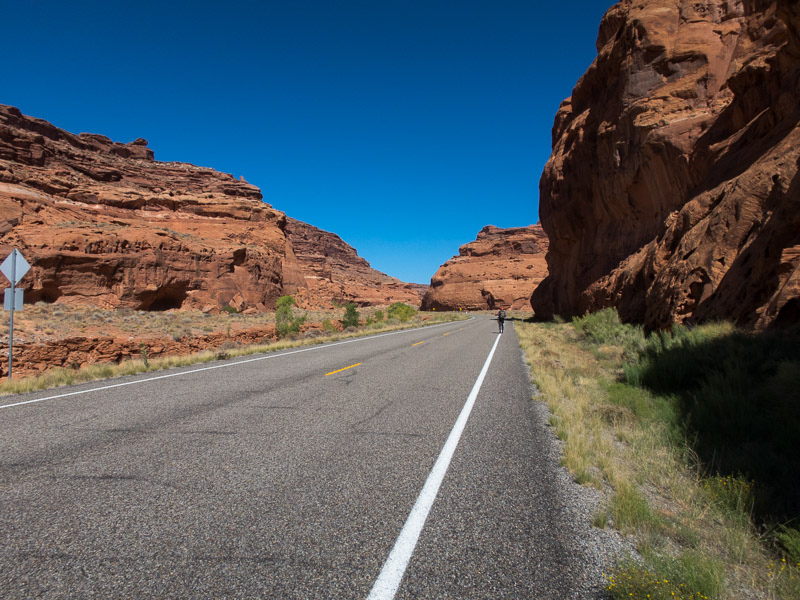
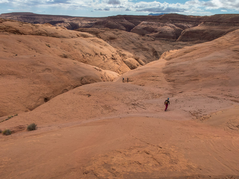
The very long walk back to the car along the road. Maybe 5 minutes?

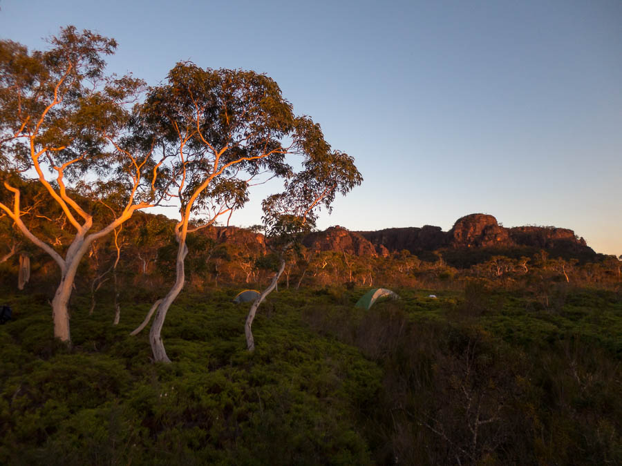
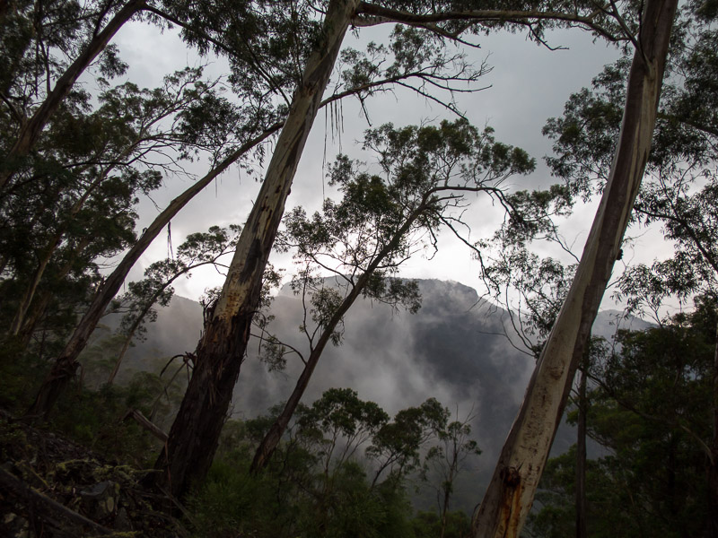
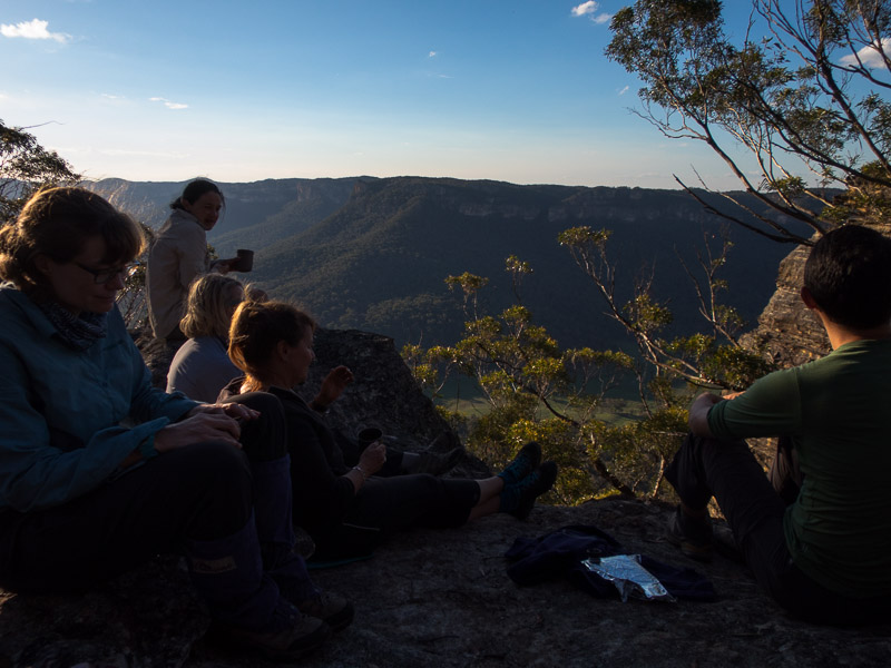
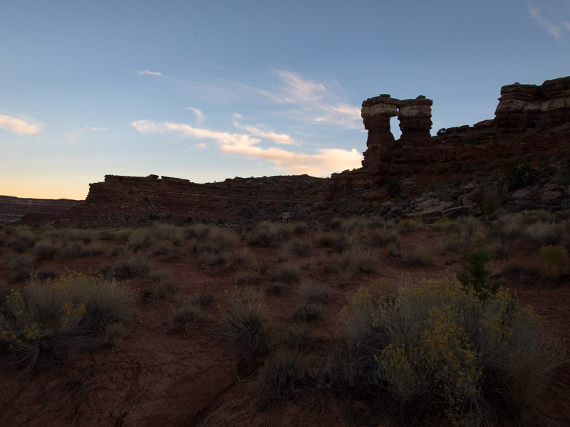
Making full use of the wi-fi at Stan’s, while we had yet another shake and fries, we discovered the weather was finally going to settle. Back to the Roost we went. We camped above White Roost where we had a full 360°C view of the horizon. On the Eastern horizon we had the moon rising, and on the Western horizon we had the sun setting. I have never been in a spot on the day of the full moon where there was unobstructed views of both horizons. It was quite spectacular (and not possible to capture well on camera).

IMG_1448

Camping above White Roost

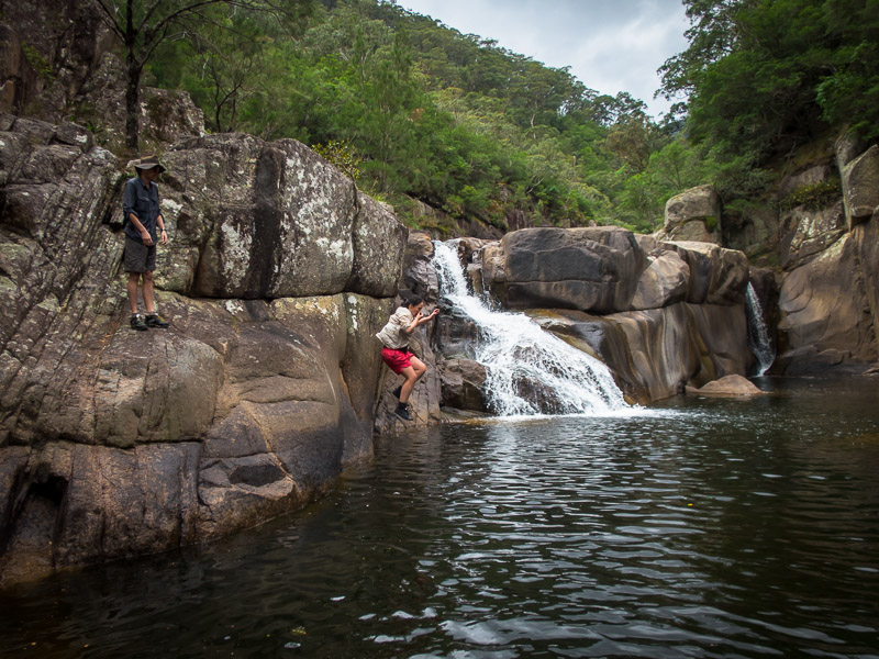
It was a very exposed spot but fortunately there wasn’t much wind and we had a pleasant night. It finally felt like the trip was going as planned. Tom had re-tweaked his foot injury while we were in Morocco so the North Fork of Robbers Roost seemed like a good, short-ish option for the next day.

IMG_1455

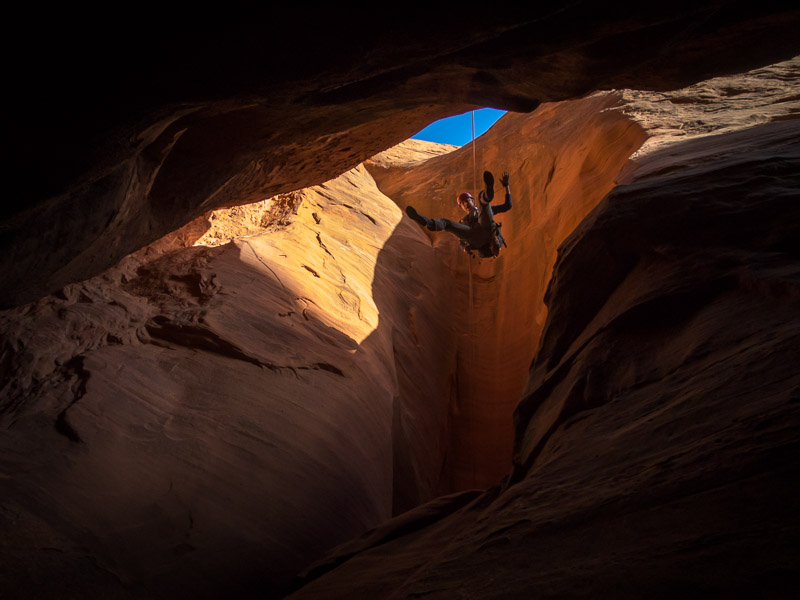
Tom abseiling into North Fork of Robbers Roost

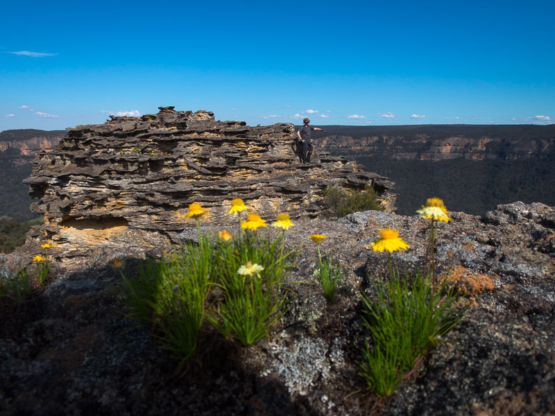
We enjoyed doing a straight-forward and beautiful canyon – more akin to the Blue Mountains style.

IMG_1460

The yogi is in the canyon

IMG_1463

Tom abseiling

IMG_1468

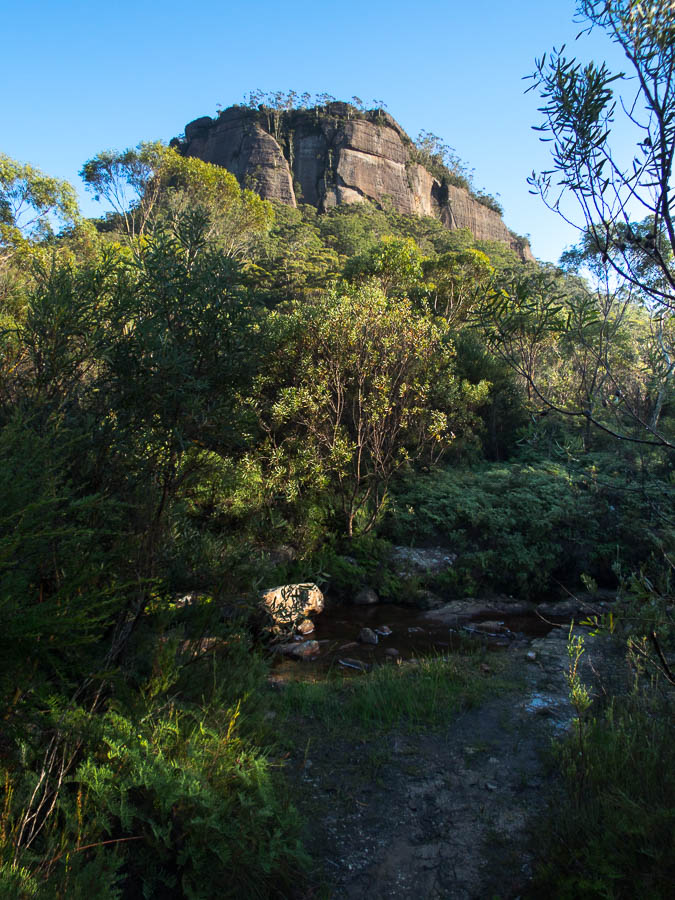
North Fork of Robbers Roost was beautiful

IMG_1470

The section below the final abseil

I got to use a jumar for the first time after we rapped down the third abseil to check out the end of the canyon before ascending and taking the shortcut exit.

IMG_1473

Tom ascending the final abseil to get back to the shortcut exit

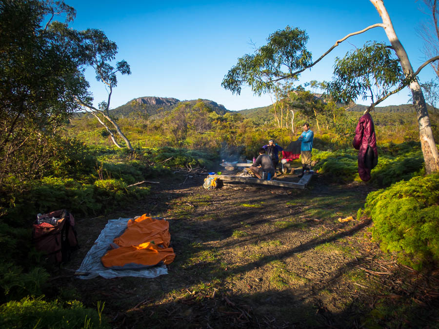
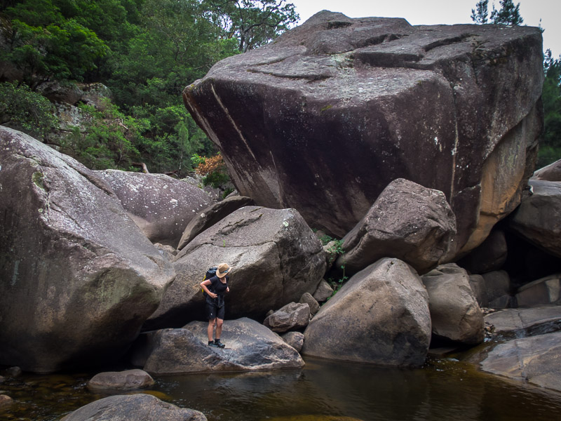
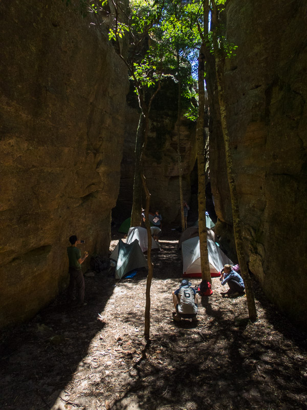
From there we headed deeper into the Roost and camped at Motel 6 that night. It was fairly windy but (hopefully) nothing will ever compare to the night we had at the Egypt Trailhead so it didn’t seem too bad!

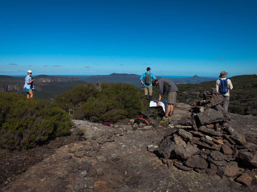
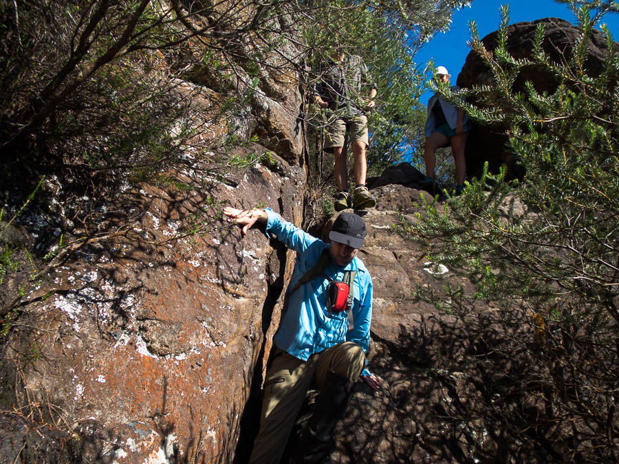
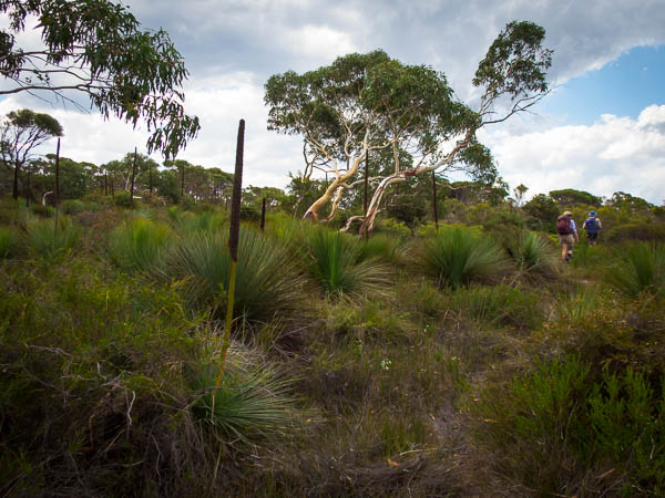
There were so many options to choose from in the Roost, each with issues. We settled on Not Mindbender for the next day as Tom decided he would be able to make the 5.5 exit climb… We never got to find out as the migrating sand dunes on the road out to the trailhead were definitely migrating and we decided not to risk getting stuck.

IMG_1478

Migrating sandunes across the road to Not Mindbender

The back up option was Larry Canyon. Since we only had one car that meant a road bash at the end of the day of about 8km – hopefully Tom’s foot survives! We used the Moki steps to get in and soon had our feet wet in a few pools.

IMG_1481

Tom using the moki steps to get into Larry Canyon

IMG_1483

Beautiful formations at the start of Larry Canyon

Getting to the first rap with a pool at the bottom I stripped off my top layers to avoid getting them wet – unnecessarily as it turned out as we could avoid the water altogether. I don’t think it would be possible for the pool to get more than waist deep as there is an outlet about that height.

IMG_1494

Tom abseiling towards the pool

IMG_1495

Tom rigging the next abseil. This photo taken from the same spot as the last one – all I had to do was turn around!

Larry was a great canyon, lots of variety, though I think Tom would be happy to skip any more slanted corridors!

IMG_1508

Tom near the end of the cumbersome slanted corridor

IMG_1513

Making our way up to the road

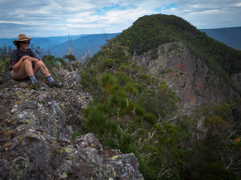
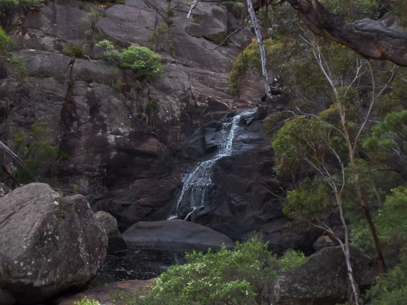
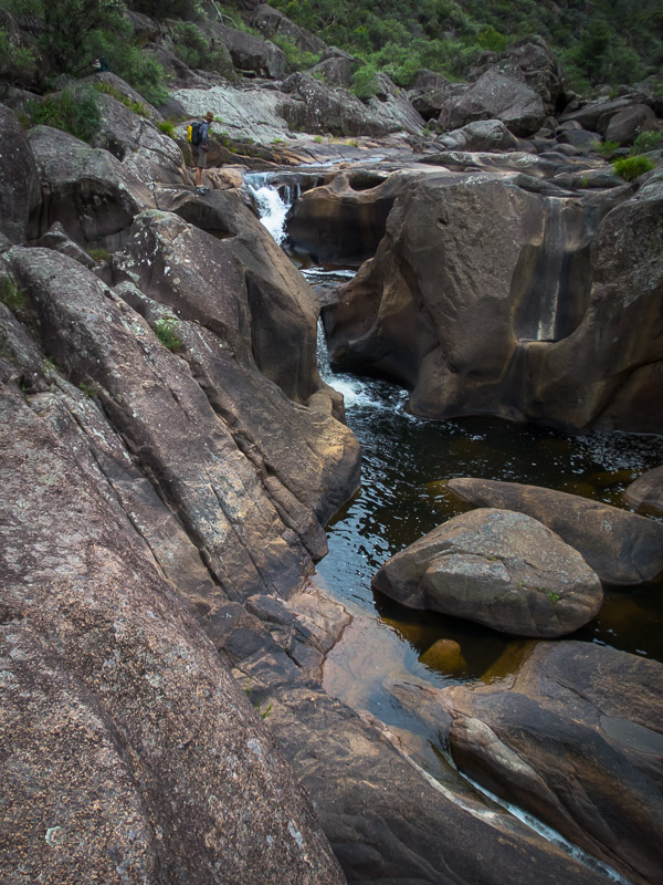
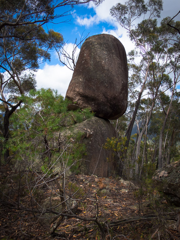
We made it out the exit and started on the road bash, taking some time to check out the views of Alcatraz on our way through. Tom had been talking about camping above Alcatraz that night but the road we were on was quite sandy and I didn’t think the car would make it. Tom tried to convince me that since Rich & Mel had made it out there in their hire car it couldn’t be that bad. We kept walking and it kept getting sandier and I was mentally wondering at the abuse which their hire car must have taken. Eventually I said ‘this road doesn’t get much use’…. At about the same time that Tom decided he should check the GPS as there were fewer and fewer tyre tracks. We were on the wrong road! Doh. Not having been on the road before we didn’t realise the road actually went up the wash from Alcatraz. So a bit of cross-country later we were back on a much better road. So good that I agreed we should drive it back to Alcatraz to camp (hoping the bits we’d missed were also in good nick). It was a very pleasant campsite though we did get some company first thing the next morning from an ATV recreationalist. Despite being camped at Alcatraz I wasn’t that keen to do it – I’d had enough of very narrow canyons for the trip.

IMG_1515

Camping above Alcatraz Canyon

Instead we headed back to the main road and into the Little West Fork of Blue John. It was a beautiful slot, even if it was relatively short.

IMG_1518

Tom abseiling in the Little West Fork of Blue John

IMG_1521

Little West Fork of Blue John

IMG_1522

Mmmm…

IMG_1523

Tom about to set the second abseil

IMG_1527

Spectacular canyon after the technical section

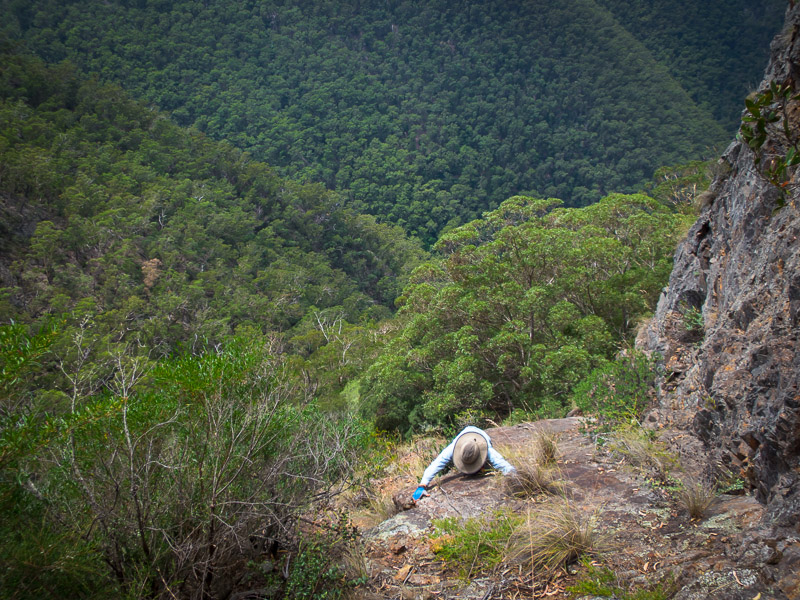
Then we headed up the Main Fork of Blue John hoping our up climbing skills were up to scratch. We were less than thrilled when we hit a little lake caused by a rockfall damning the canyon, that gave us a thigh deep wade and muddy shoes. Futile attempts were made to get the mud off our shoes for the climbing only to find we kept hitting more mud the higher up the canyon we got.

IMG_1529

A small lake in the Main Fork of Blue John

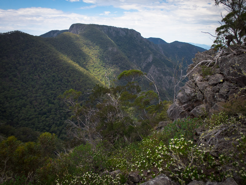
It was a stunning canyon and amazing to walk through. When we finally got to the climbs they were quite challenging as the slots were awkwardly narrow – easier for a smaller person like me to get up then for Tom (who also had a bigger pack).

IMG_1538

Tom making things look awkward. No idea if it was as tricky as he made it look – I went under the boulders!

A little concerned when we heard voices coming from above as it would be difficult to cross-over in the narrow sections. Fortunately the dad & son were not in any hurry and let us get up before they came down. As we were working so hard on the climbing there weren’t many photos taken.

IMG_1539

Tom having a rest part-way through the upclimbs

IMG_1543

The final climb at the very top of the Main Fork of Blue John

We had to laugh when both the dad & son and the group of 5 dudes, who turned up as we were getting out of our protective clothing, both asked us if they were in the Main Fork. Nothing like having confidence in your navigational ability… The 5 dudes had some paracord for pack passing and 2 radios, I don’t think they had anything else resembling technical gear. I hope they made it through alright as they weren’t inspiring confidence from the top! We were pleased to have made it to the top as it was quite a lot of effort – but very satisfying once done.

IMG_1544

The guys who turned up just as we’d finished….

And then it was time to leave the Roost.

Part 5 – Cedar Mesa, Grand Canyon  & Sedona

Back to main index

Utah & Arizona (Sep/Oct 2017) – Part 3 – San Rafael Swell & Moab areas

The next day it was time to move on from Escalante heading for the San Rafael Swell. We had a mandatory stop at Stan’s Burger Shak for a shake and fries in Hanksville before heading to the Little Wild Horse trailhead. We’d skipped this hike last trip in favour of Ding & Dang canyons but apparently it is the most popular hike in the San Rafael Swell so figured we should do it. We went up Bell Canyon first and then looped back down Little Wild Horse Canyon. Bell Canyon was underwhelming and unless you’re looking for a longer hike I would just walk up and back down Little Wild Horse. Like many of the canyons we’d done Little Wild Horse was holding water (and of course mud). We had been warned by other walkers that there was a section where it was impossible to stay dry and that we would get thigh-deep wet.

IMG_1208

Tom in Little Wild Horse Canyon

So every section of water we got to (and got over without getting wet) we wondered if we’d passed the ‘impossible section’.

IMG_1215

Tom avoiding water & mud in Little Wild Horse Canyon

Eventually we got to it – a 30m long pool. It looked like it was just narrow enough to be able to be bridged. It was with great satisfaction (and a lot of stretching & contorting) that we both managed to keep out feet dry. We camped near the car park that night in the dry wash which was a pleasant spot.

IMG_1218

Sadly my timing was out and I didn’t get the shot of the woman walking underneath Tom’s legs

IMG_1219

Tom nearing the end of the ‘impossible to avoid getting wet’ pool…

Tom’s foot was still giving him grief so a very long Music Canyon/Muddy Creek loop was scrapped from the plans. Instead we headed to Baptist Draw and Upper Chute Canyons. It was only after we turned onto the access road, having already driven for over an hour on the main road, that we realised we could have cut off 100km of driving by taking the Temple Mount Road directly from where we’d been overnight. A lesson in having a look at the map rather than just following directions on the track notes! Getting to the trailhead took longer than expected as the roads were pretty rocky. The canyon (including walk in and out) only looked like about 4km all up and Tom was having trouble understanding how it would take 4-6 hours. Another super-easy canyon to get into, and it was a good one. We were pleased to be out of the squeezy narrows and enjoyed the ‘narrow enough to walk through without being awkward’ nature of Baptist Draw. The abseil into Upper Chute was beautiful (unfortunately my photo below does not do it justice).

IMG_1235

Tom abseiling into Upper Chute Canyon from Baptist Draw Canyon

We had no idea that Upper Chute was going to be so stunning, or so long! There was plenty of water, and it was icy cold. We were glad it was never more than waist deep as we hadn’t bothered with wetsuits. Despite the beauty we were both glad when the narrows finally relented and there was no more mud or water! It took its toll on us. I went a cropper in the mud and landed heavily on my knee and Tom strained his shoulder as well as falling into a pool while high bridging to avoid the water.

IMG_1236

Upper Chute Canyon

IMG_1239

This was meant to be a video, but technology fail on my part. Taken just before Tom fell in.

IMG_1246

Ascending Upper Chute Canyon. Water was freezing!

IMG_1249

Looking over Upper Chute Canyon. Easy navigation – “aim for the teepee-shaped hill” said the track notes

Camping at the trailhead would have been lovely but the forecast was for potential rain the next day and with the dodgy roads we decided it was better to get back to the main dirt road that afternoon. We camped in the vicinity of Family Butte and went for a scurry up a nearby hill to get a better view as sadly the ridge blocked a direct view from our campsite.

IMG_1252

Campsite (sort of) below Family Butte

The next morning the weather was definitely turning and we felt good about our decision to get out early. We had intended on spending another day in the Swell but with fairly mediocre options on the table and the weather looking unpleasant we decided to head to Moab early and get a motel room. It rained for most of our drive to Moab but cleared just as we got to Arches National Park. After 25 minutes queuing to get in we joined the masses who were avoiding the weather in the visitors centre. After securing a hiking permit for the Fiery Furnace the next day we went on a tourist drive of the park. We visited the Windows Section, having lunch under the double arch.

IMG_1263

Getting our tourist grove on at Double Arch, Arches NP

I’d randomly found the motel on google that morning and when we arrived we were amused to find it was the same place we’d stayed in 2013 when we were driven indoors by a blizzard.

The next day we returned to Arches, without the queue this time, and headed to Delicate Arch. Apparently the most famous arch in the world this was an excellent hike and highly recommended if you are in the park, despite the hoards.

IMG_1270

Tom under Delicate Arch, Arches NP

IMG_1275

Tom under Delicate Arch, Arches NP

Next we headed into the Fiery Furnace. The Fiery Furnace experience is meant (as I understood it) to be about not following trails, or other people. Tom and I didn’t see anyone for quite some time as we explored up various ribs with varying degrees of dodgy climbing. After lunch we were quite surprised to round a corner and find about 3 groups looking agitatedly for ‘arrows’. They couldn’t grasp the idea that we weren’t following arrows, and we were a little concerned when they started following us! We quickly left them to their arrow finding to continue our meandering. Admittedly once we’d discovered there was a marked path we did end up following it (backwards) back to the car park. We seemed to have been the only people who hadn’t followed the arrows in – I’m not sure how we were supposed to know they existed or even see them at the start. Of the other groups we encountered their first reaction was “People!” as if they had been stranded in a jungle for several days. I guess it just shows how often we are in wilderness areas where seeing people is a surprise compared to the average tourist.

IMG_1281

Is this Tom’s Alex Honnold moment? [Exploring the Fiery Furnace]

IMG_1287

Exploring the Fiery Furnace, Arches NP

IMG_1288

Looking back out to the Fiery Furnace, Arches NP

We had a pleasant evening with Evan, who we’d met in the Blue Mountains earlier in the year. And then we headed out with him the next morning to do Elephant Butte ‘canyon’. It’s classified as a canyon for the purposes of getting a permit but there’s not much to make it a canyon, more of an hike with some abseiling. The top of Elephant Butte is the highest point of Arches NP with amazing views of the surrounding areas. We were amused to find an entry in the logbook from (presumably) our friends Jarrah & Megan.

IMG_1291

Tom & Evan en route to Elephant Butte, Arches NP

IMG_1301

Tom enjoying the final climb up to the summit of Elephant Butte

IMG_1305

Tom & Evan descending from Elephant Butte

IMG_1307

Tom abseiling from Elephant Butte

In the afternoon we headed out to Fisher Towers for a sunset hike. There were a number of climbers topping out on the popular climb on Ancient Art as we went past. We had to set a quick pace as we’d left it a little late in the afternoon but made it to the end of the ridge and official end of the hike with good time. Unfortunately being out for sunset meant getting back to Moab after 8pm and dinner options were thin on the ground. We had a very disappointing meal at Wendys just because it was over the road from our motel.

IMG_1313

Fisher Towers in the late afternoon. There’s climbers on Ancient Art (the corkscrew formation on the left)… not that you’ll be able to see them in the photo

IMG_1316

Fisher Towers at sunset

IMG_1322

Views from Fisher Towers at sunset

We figured we needed to actually do some canyons while we were in Moab so lined up a Big Horn / Dragonfly loop as the objective for the next day. We set off from the car with the sky looking a little threatening but the forecast had been for a slight possibility of rain in the afternoon so we figured we could knock off Big Horn and bail on Dragonfly if needed. We got to the tunnel below Big Horn as the grey clouds started crackling lightning.

IMG_1328

The Tunnel near Big Horn Canyon, Arches NP

IMG_1325

Approaching storm put paid to plans to do Big Horn Canyon

Heading up onto the ridge wasn’t an option with the amount of electrical activity going on – so do we sit it out or head back to the car? We decided on the car, getting soaked in the process – though the weather didn’t bother a lone hiker we met who was keen for a long chat while we were standing in the open with lightning directly overhead. By the time we got back to the car Courthouse Wash was flowing fairly healthily a good illustration to us of how quickly water runs off the slick rock here.

IMG_1330

Run off in a minor wash after the storm

We hung around at the car parks watching waterfalls form off the rocks before heading back into Moab for lunch. The road into Moab was flooded in a couple of places – many 4x4s just speeding through splashing murky red water over anything in their path.

Part 4 – Robbers Roost & North Wash – coming soon

Back to main index

1 10 11 12 13 14