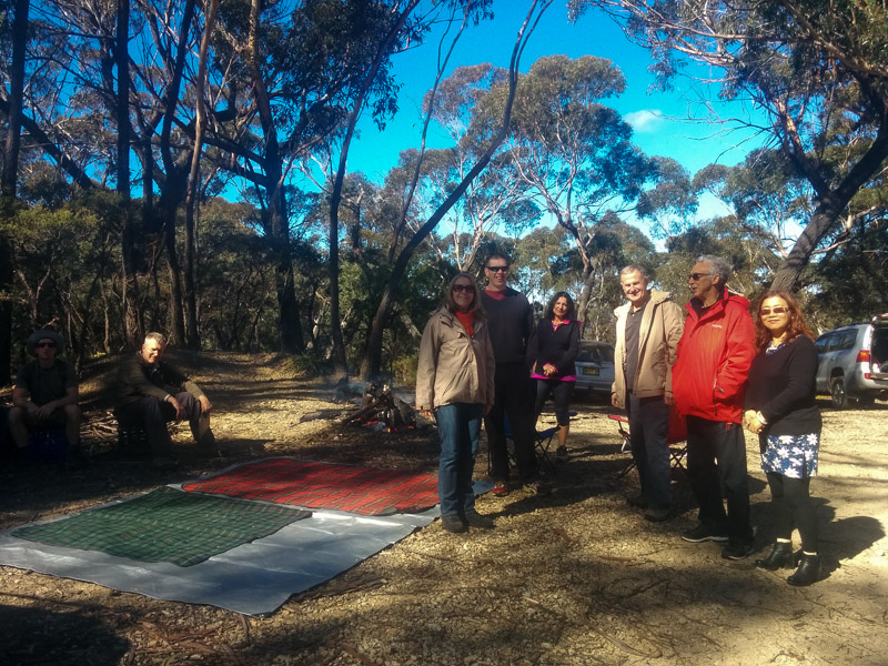
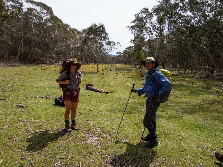
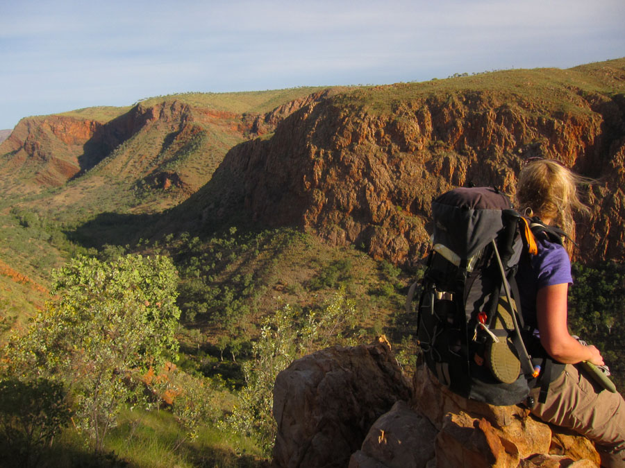
A long weekend is always a highlight on a bushwalker’s calendar – the opportunity to get to places which are prohibitive for a normal weekend. Tom and I tossed up various options and finally settled on the Blue Breaks with an extra day of leave to make the long drive to Yerranderie worthwhile.
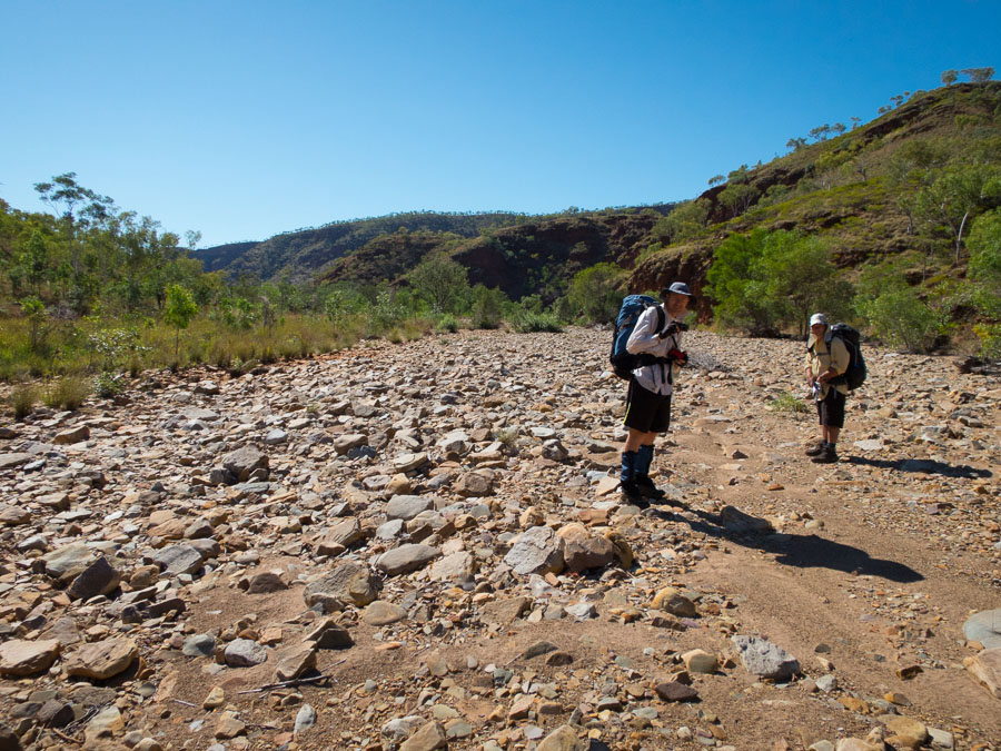
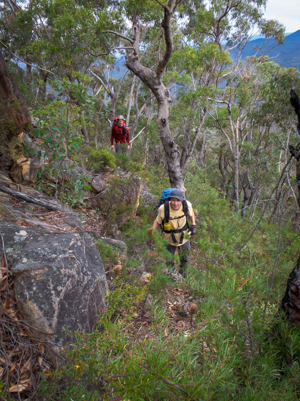
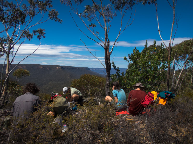
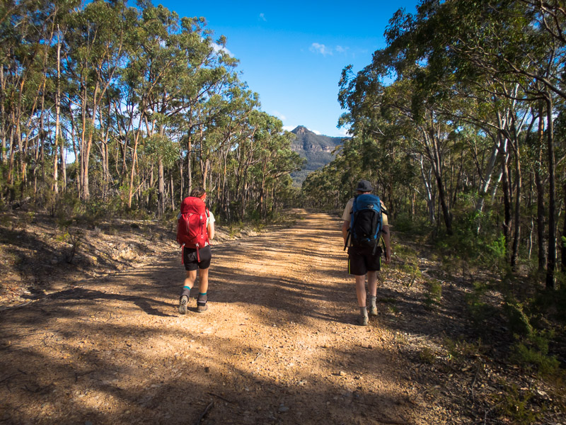
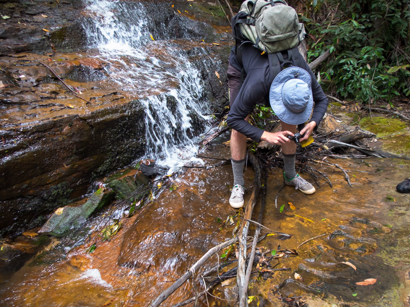
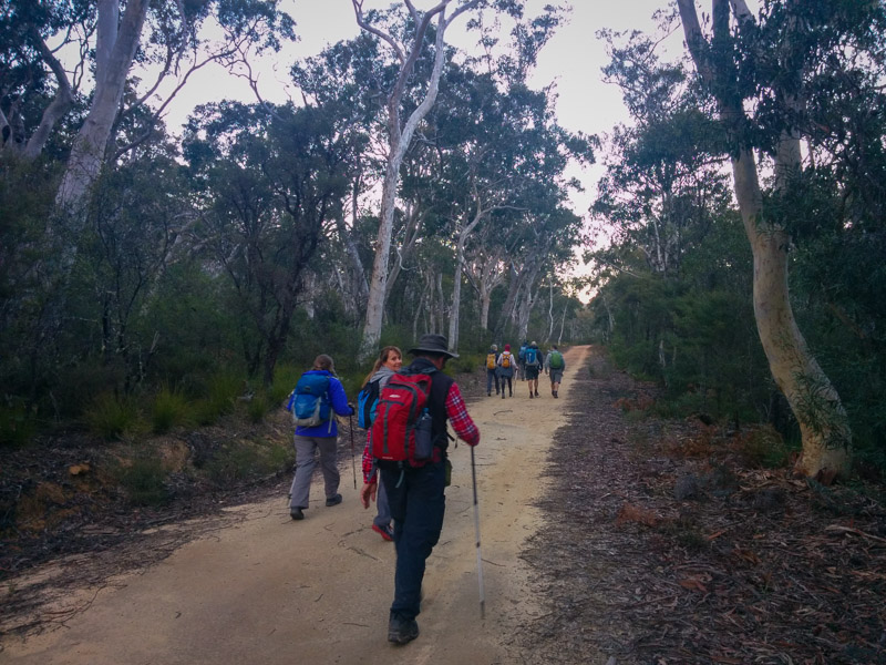
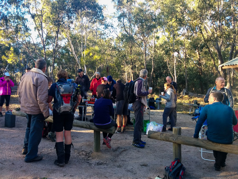
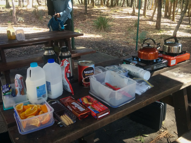
After my only other trip to Yerranderie I had no desire to do the drive again but the road was in good condition and nowhere near as bad as I remembered. The first major decision of the trip was whether to run it on pre or post daylight savings times. After considerable discussion we agreed to move to Daylight Savings Time as of Friday morning and so OTT (Official Trip Time) was set on all time-keeping pieces before we set off. This meant we had a very late start of 11am! The first couple of hours we followed an old fire trail down to the Tonalli River where we had morning tea around midday OTT. Time for those not familiar with Alex’s twig stove to have their first experience with it – much amusement for all along with the requisite plumes of smoke.

The twig stove gets a workout
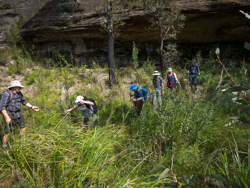
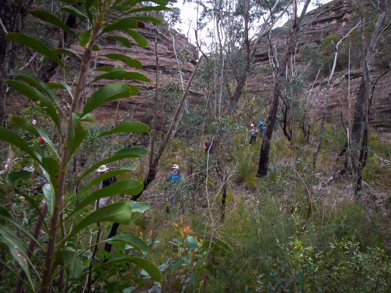
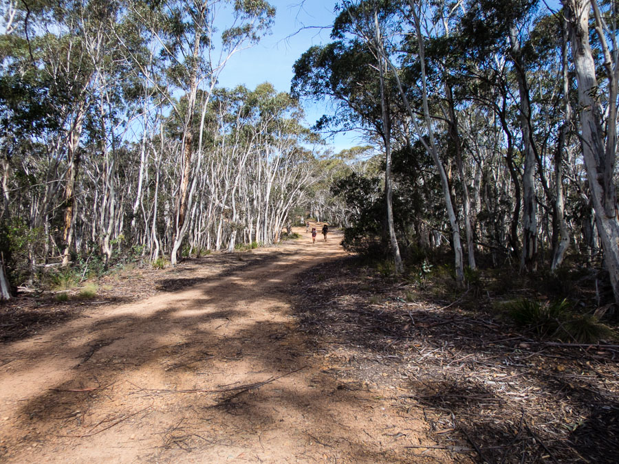
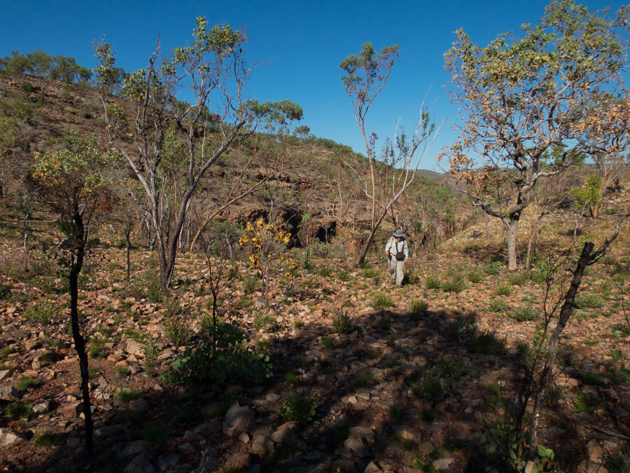
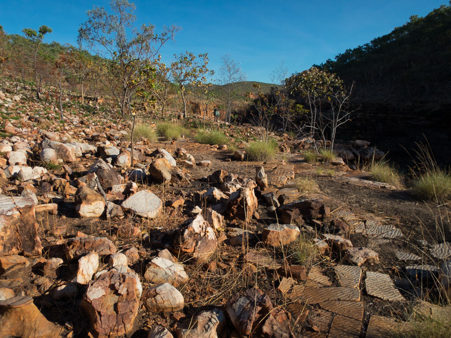
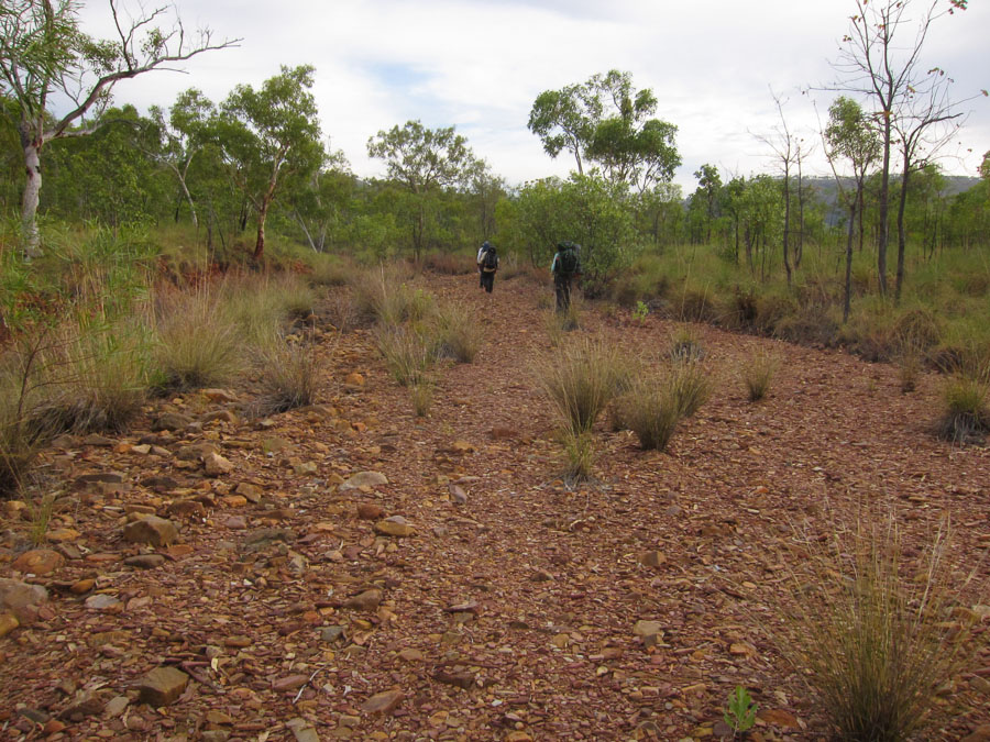
From the river we followed the remains of another fire trail, though this one was full of kangaroo thorn.
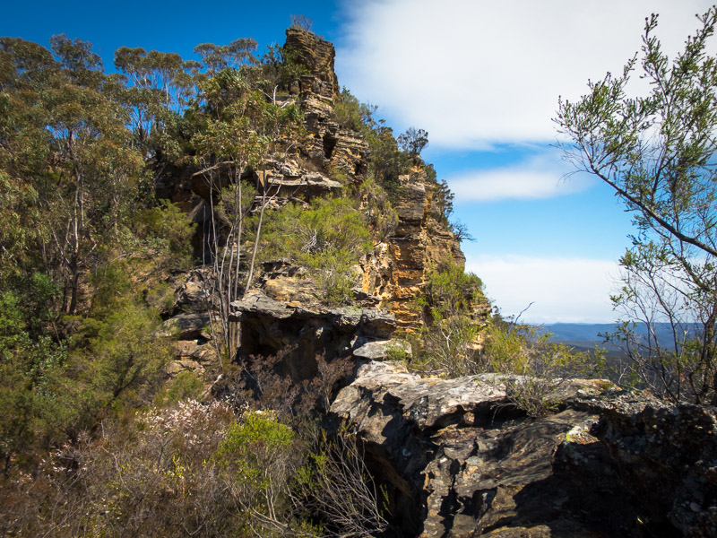
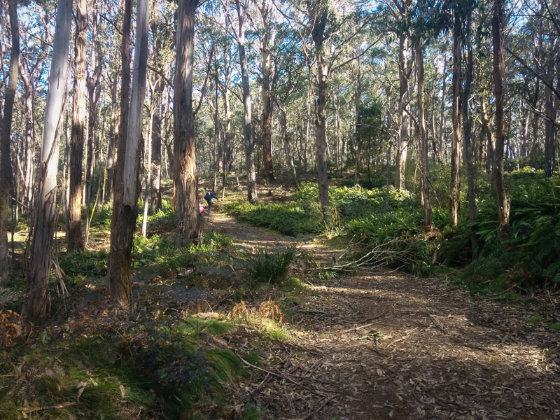
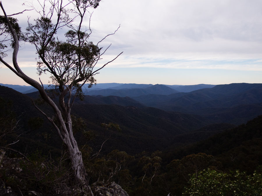
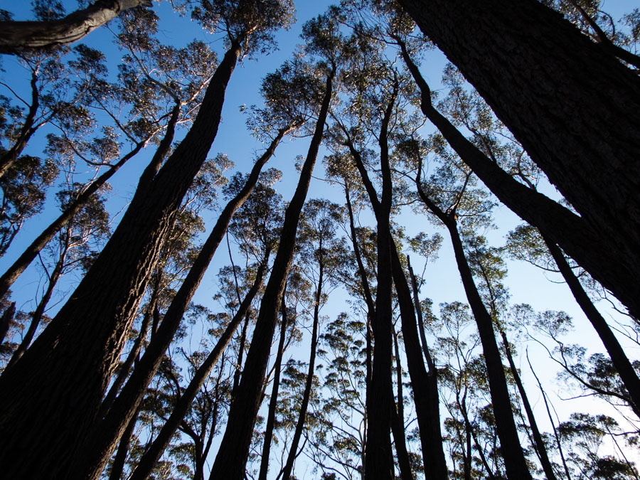
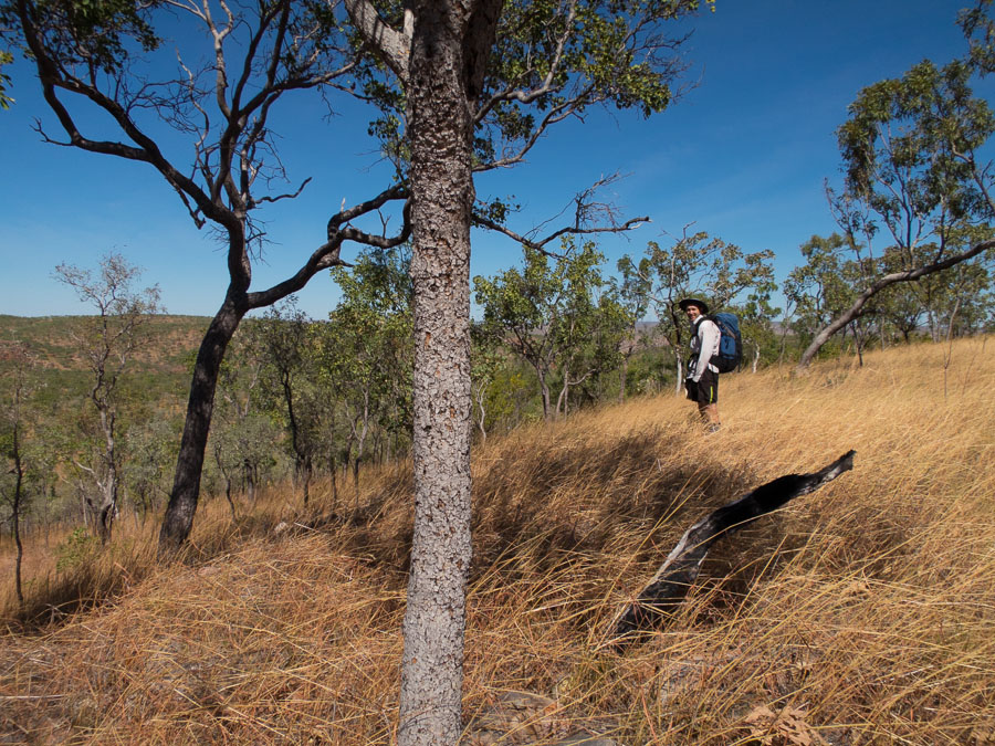
On the way to Tonalli Pass
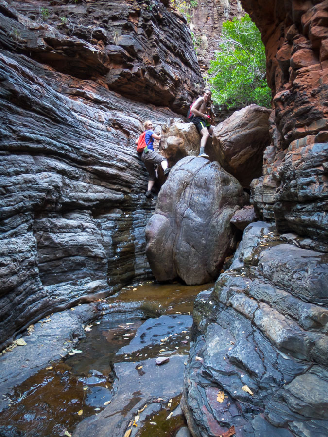
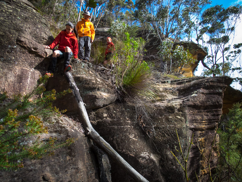
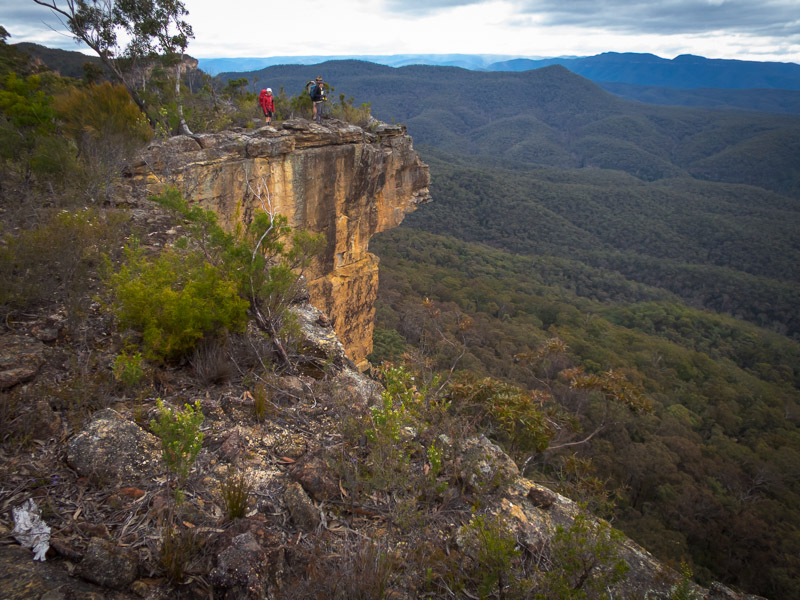
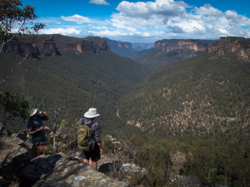
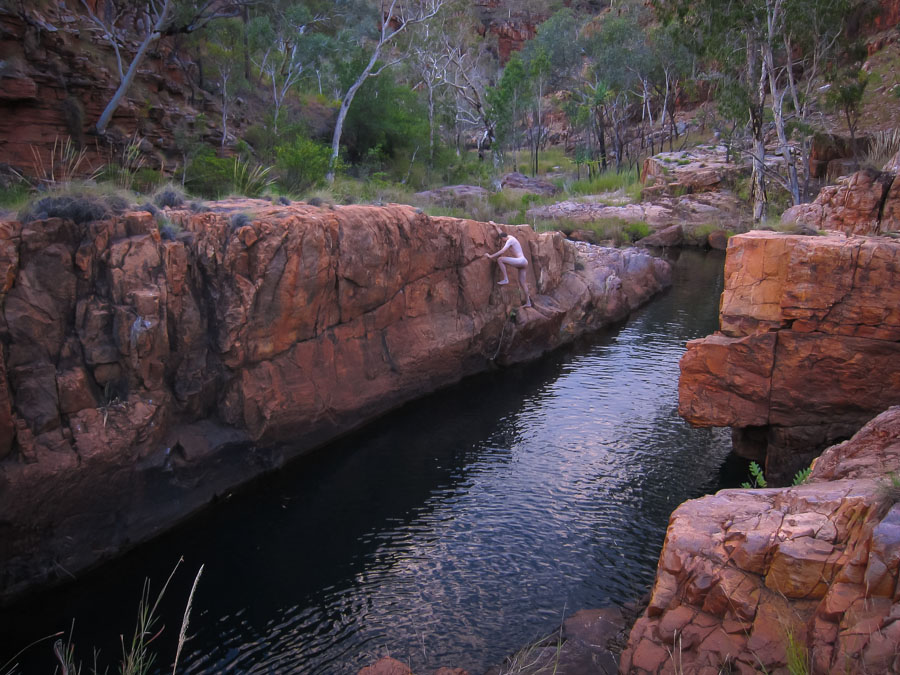
It was quite windy so we opted for lunch in the saddle between Tonalli Pass/Lacys Gap and the detached section on the end. During our post-lunch exploration of the detached section no one could be tempted to make the jump across to the final detached block.
Tom not making the leap across to the final detached black
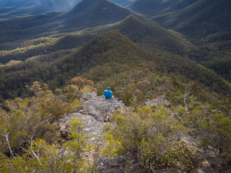
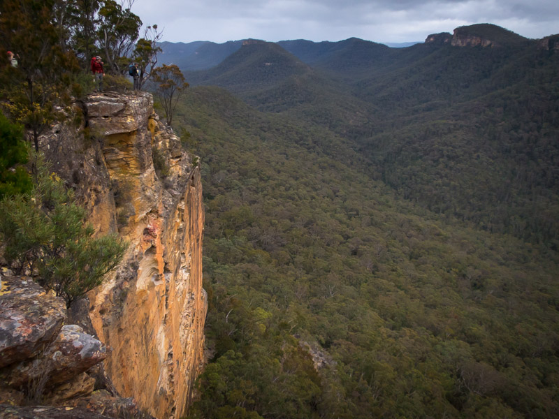
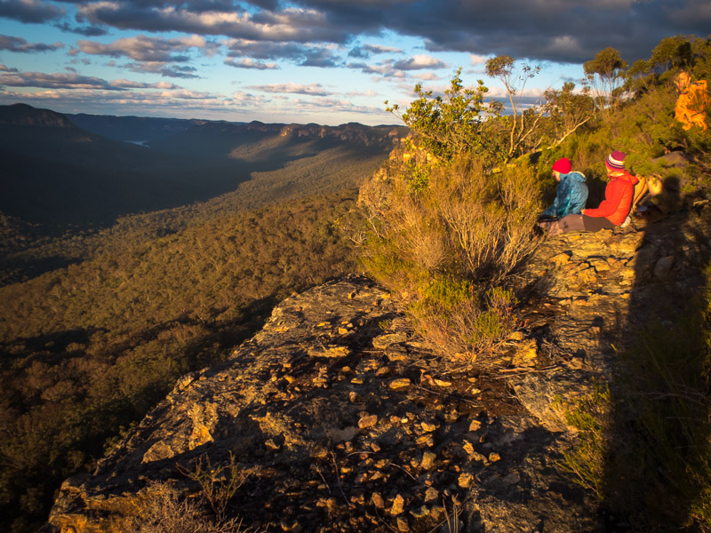
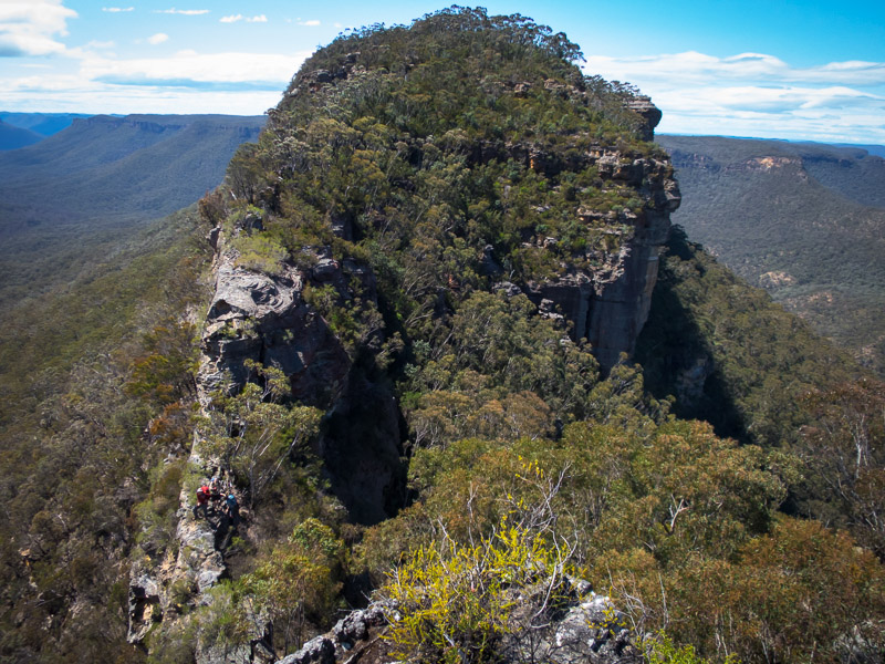
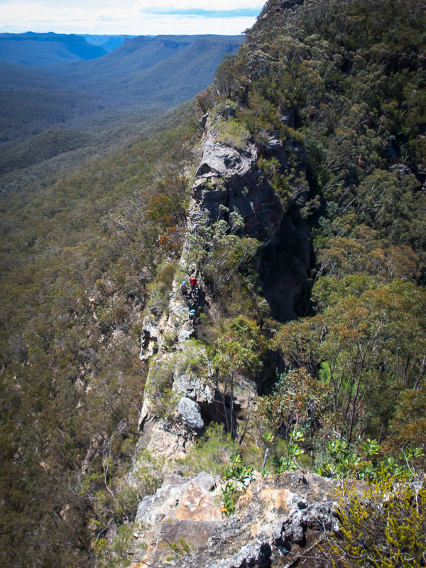
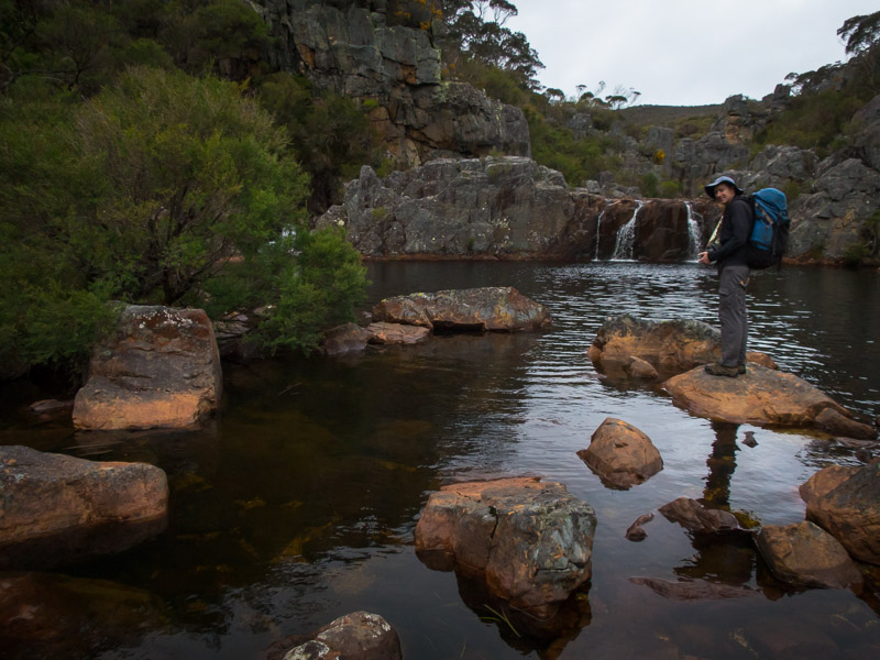
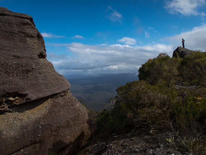
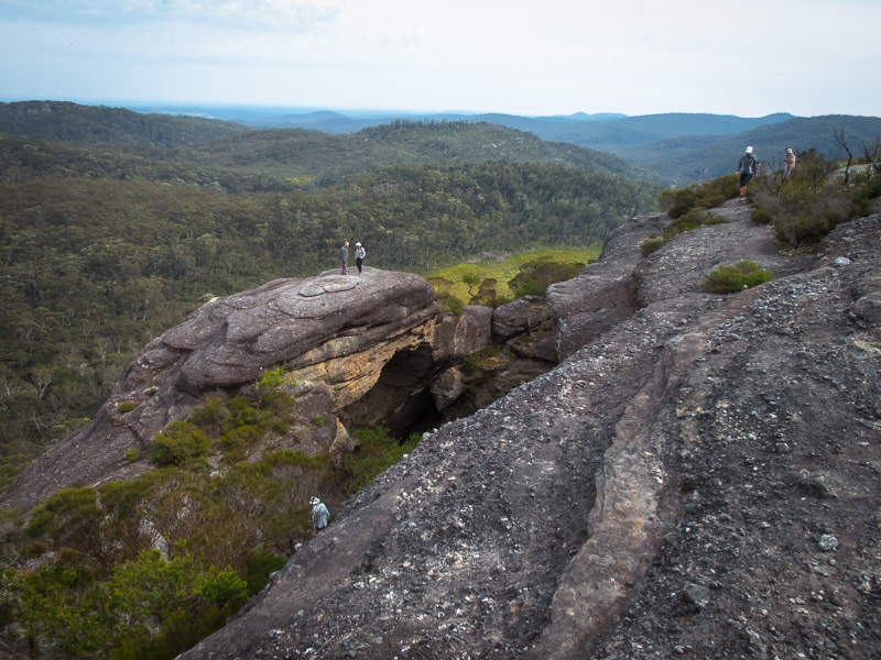
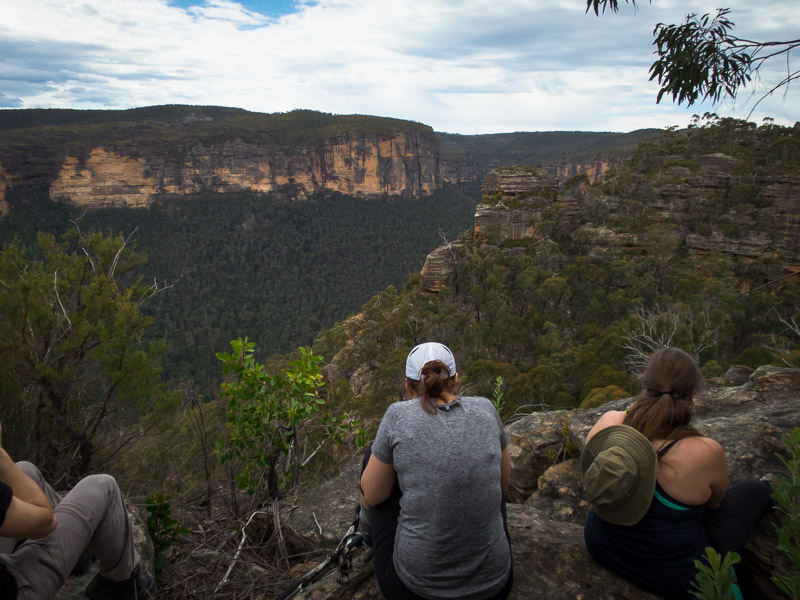
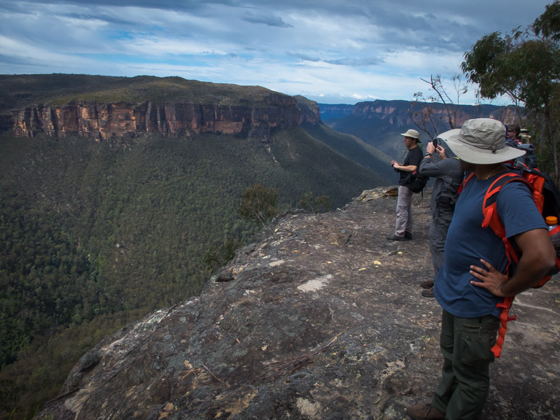
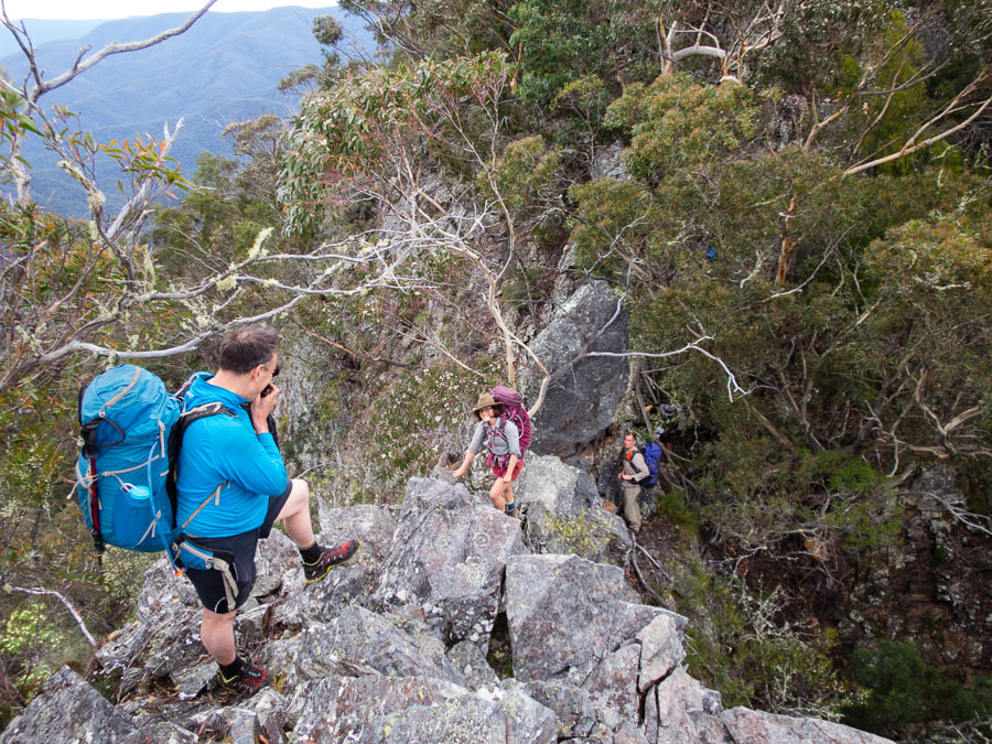
Smiffy & views of Lacys Tableland
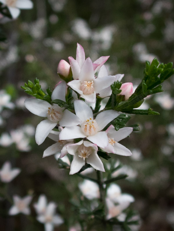
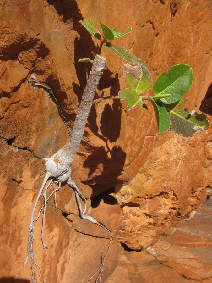
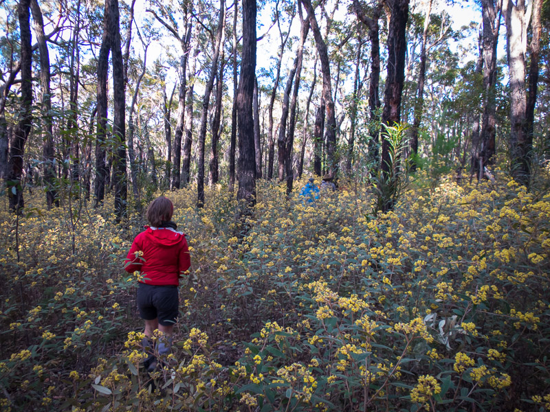
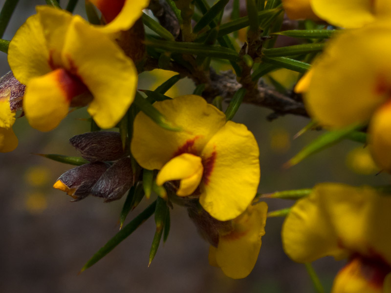
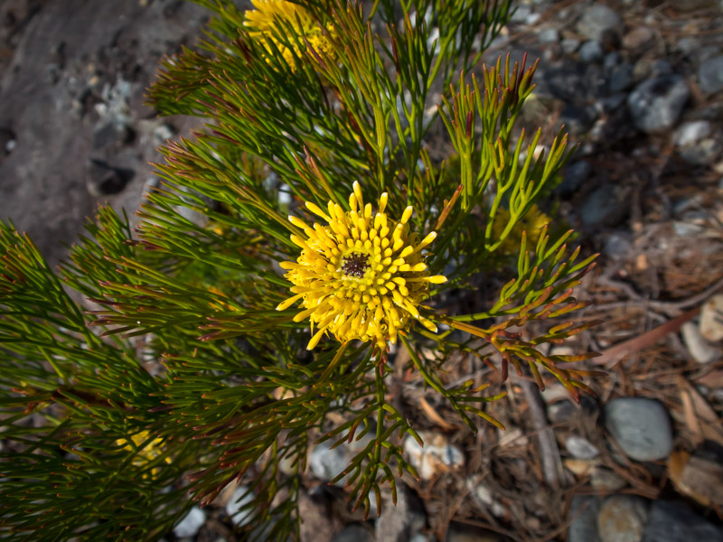
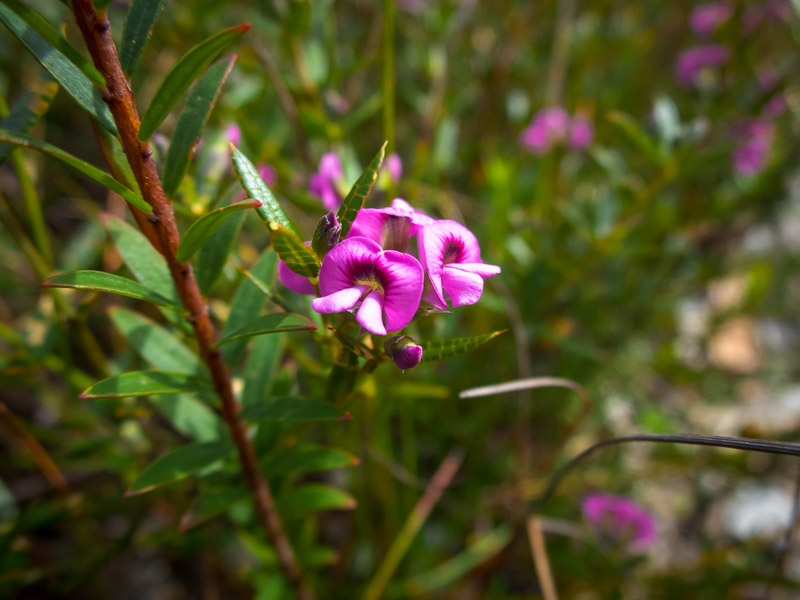
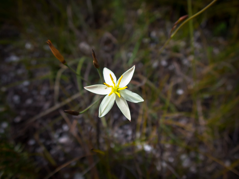
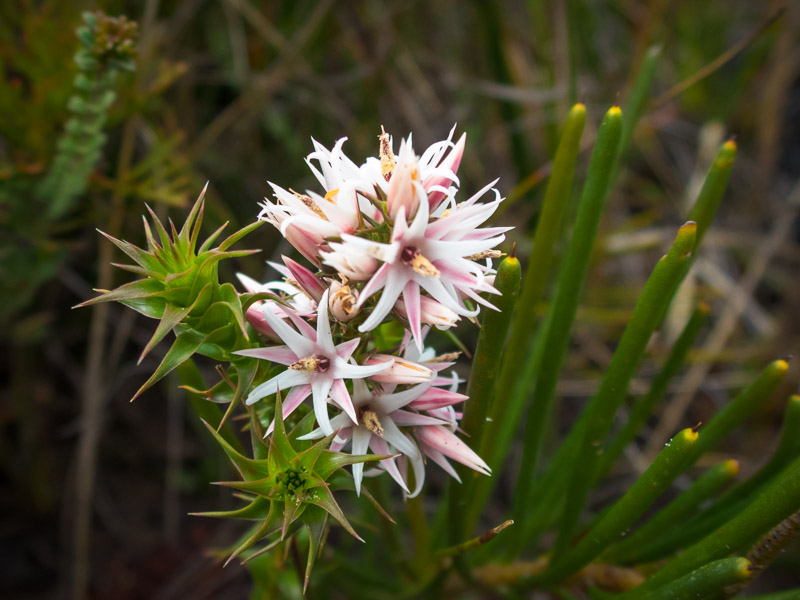
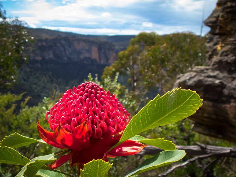
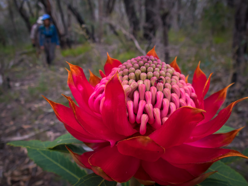
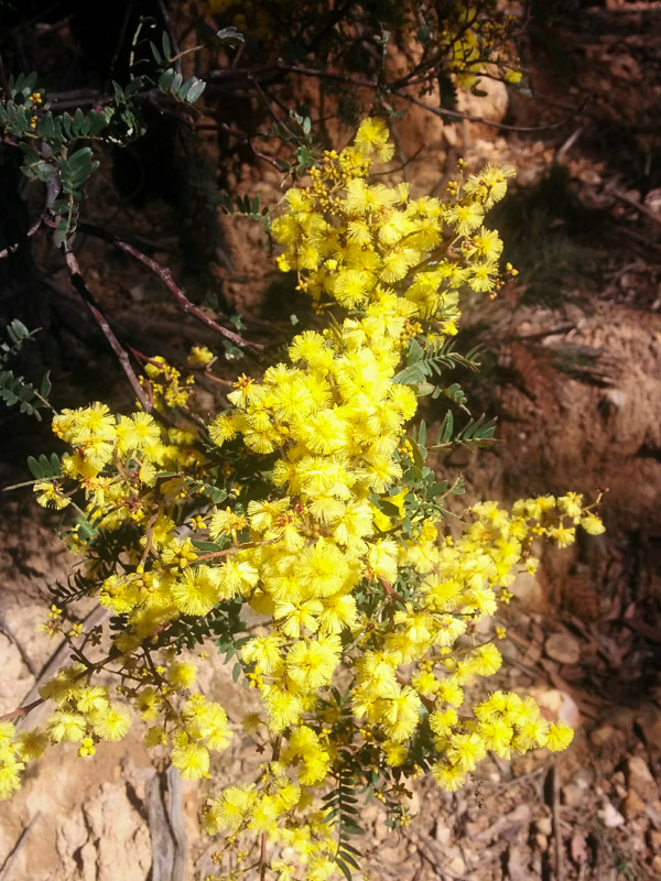
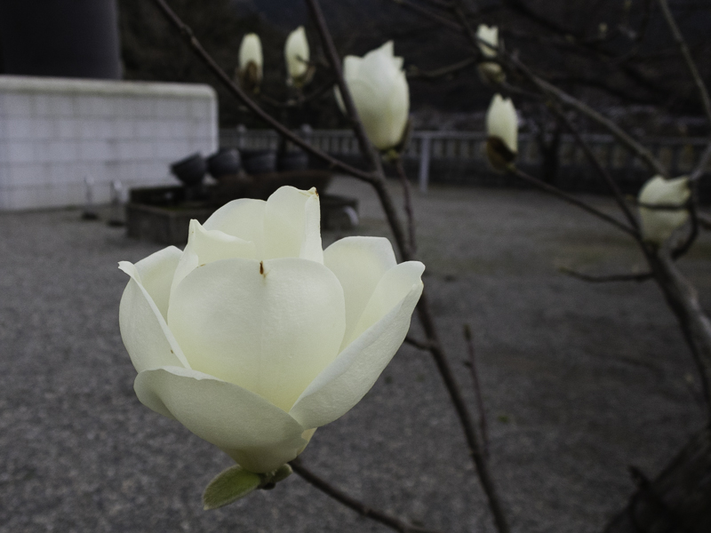
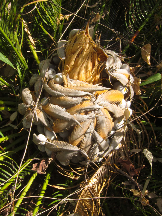
Lots of wildflowers were out
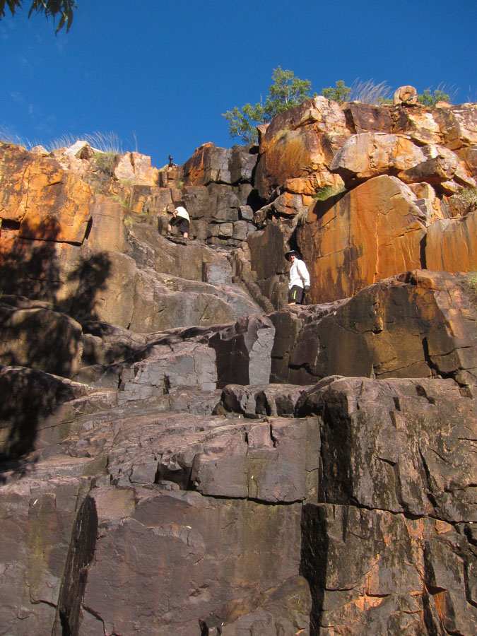
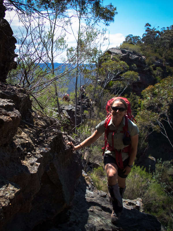
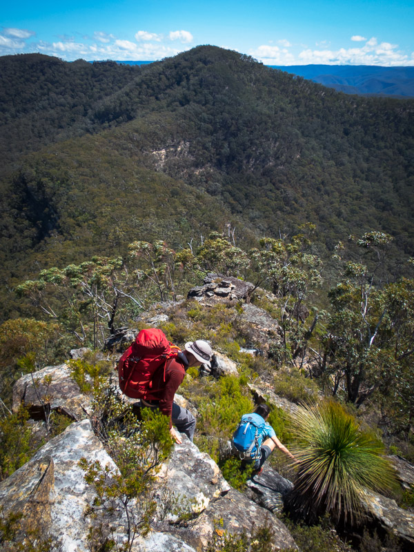
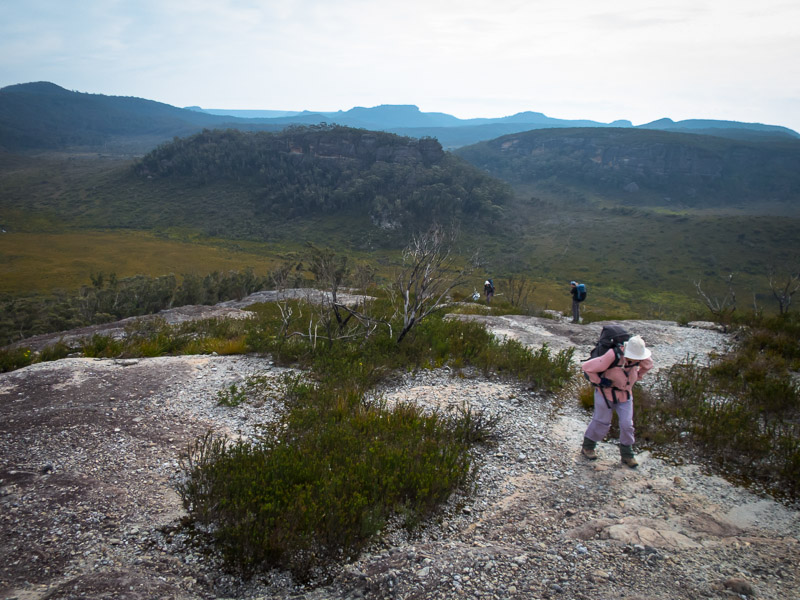
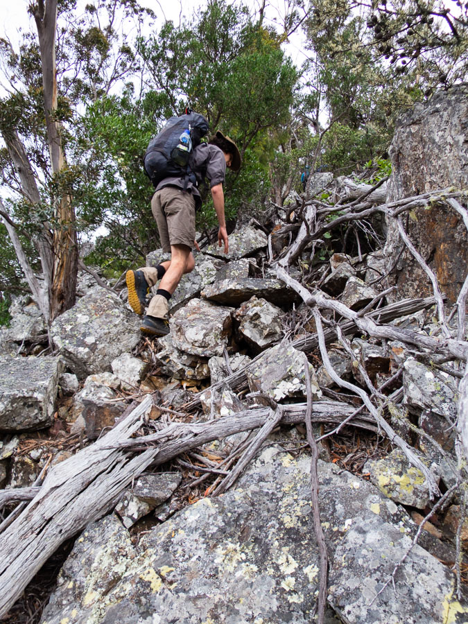
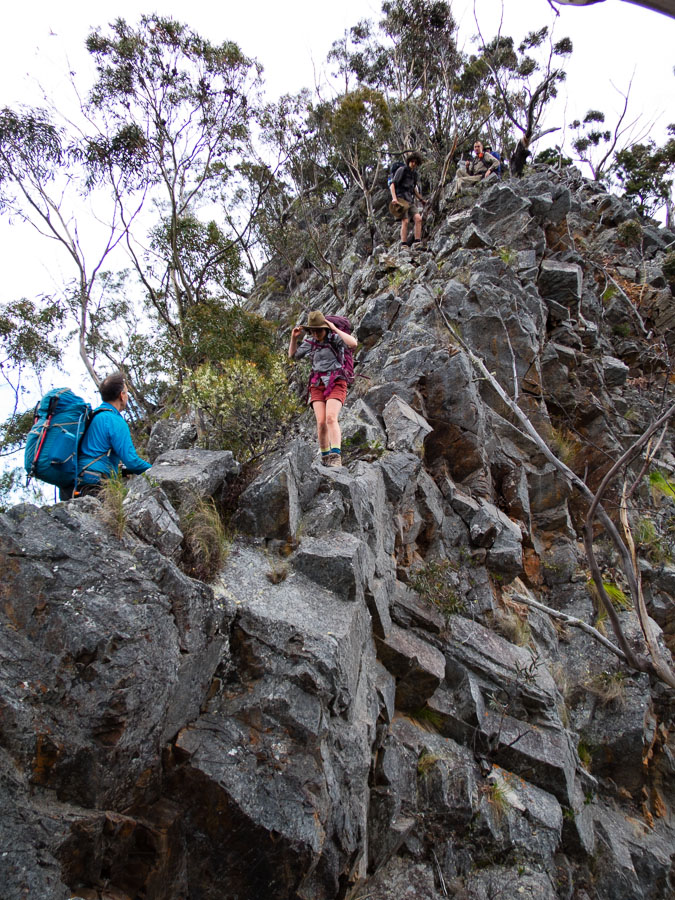
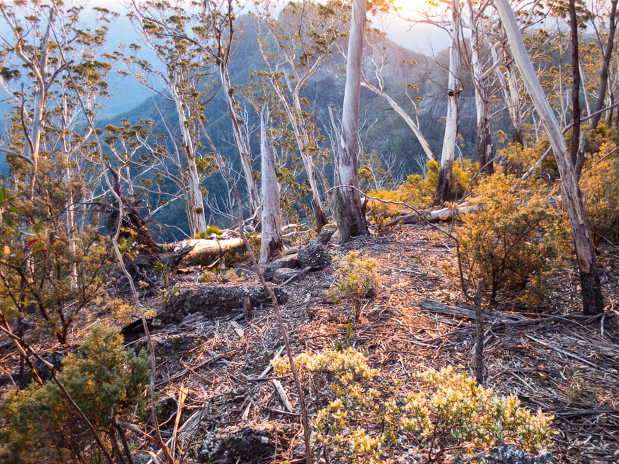
Scramble down off the end of Tonalli Pass
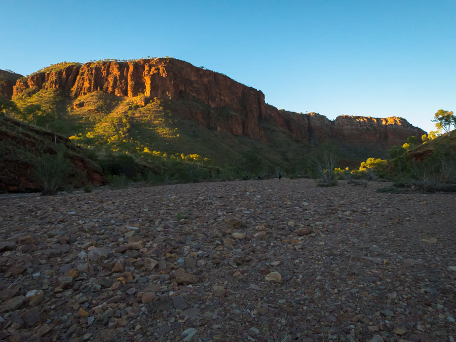
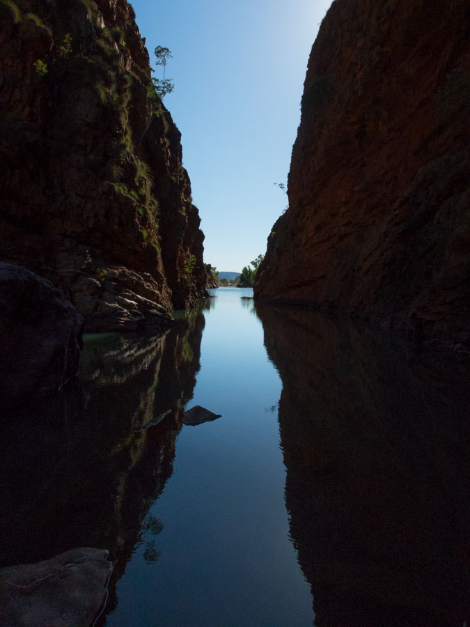
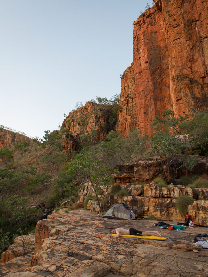
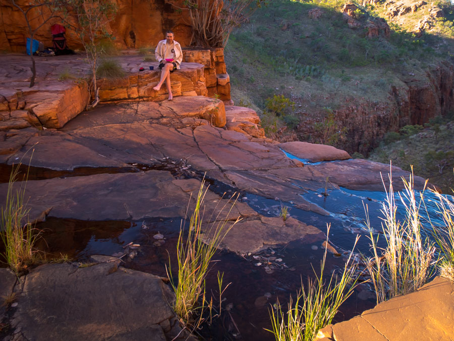
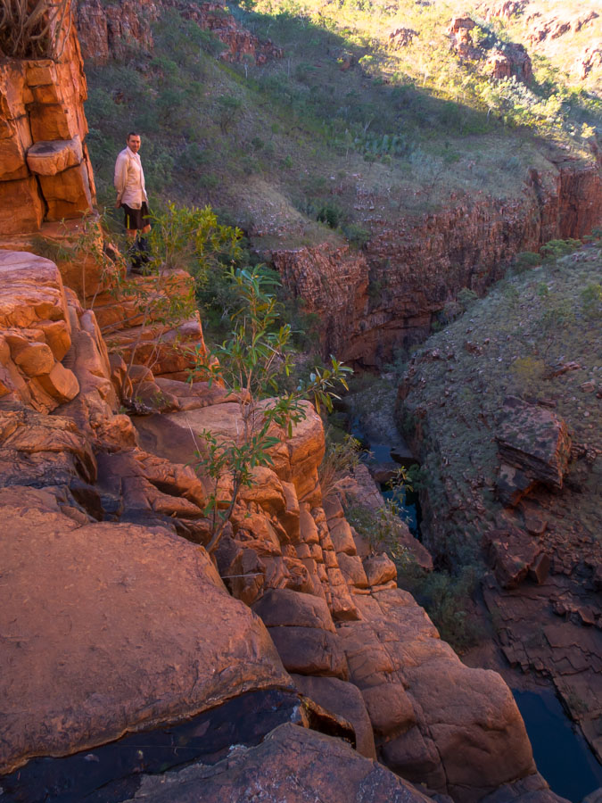
From there the walk to our camp was straight-forward and we were glad our camp cave was out of the howling wind. We visited Terni Head and enjoyed the views.
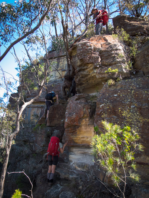
Smiffy on the final scramble up to Terni Head
Smiffy & Alex scrambling Terni Head
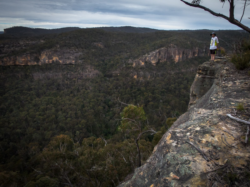
Magnificent views
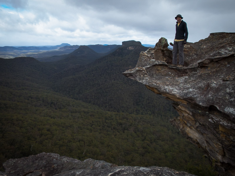
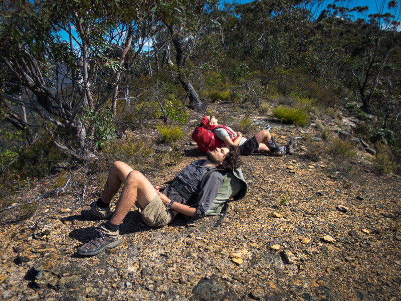
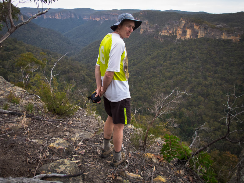
Tom enjoying the solitude at Terni Head
Fields of flowers to navigate back to camp
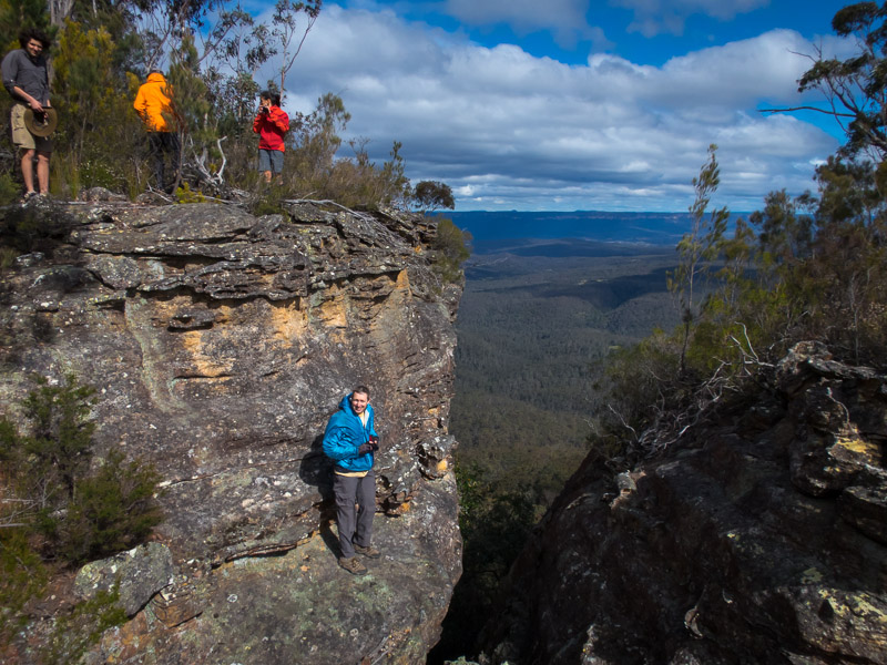
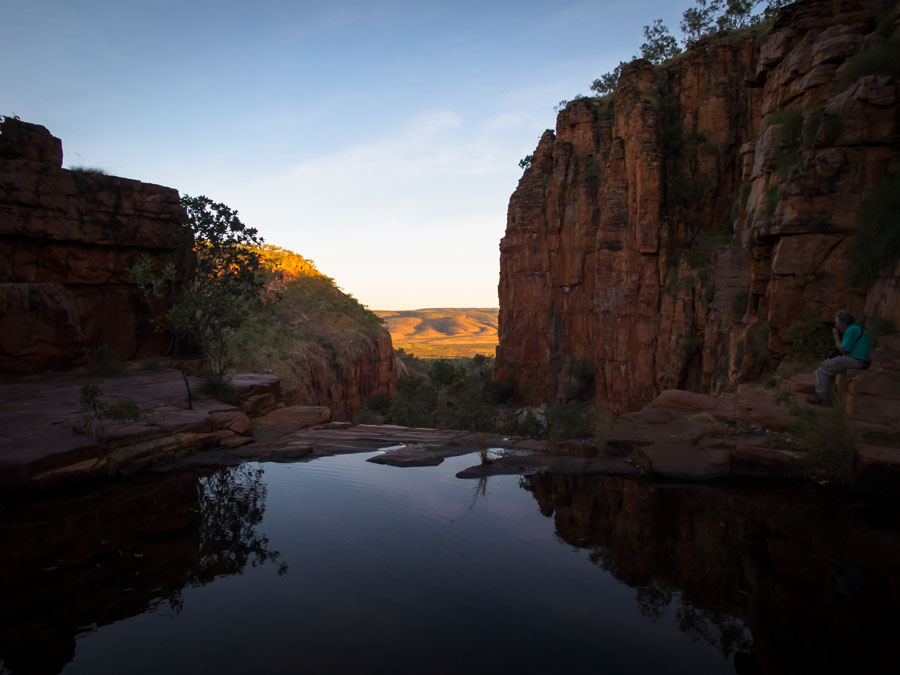
Somewhat optimistically we headed up to the cliffs for happy hour but once on them we concluded we’d enjoy the views for a few minutes and then retreat out of the wind to eat. Amusement was had throwing things into the wind and watching them sail back over our heads – until Alex started throwing large branches that didn’t go over us…
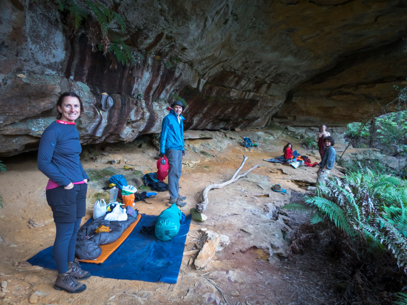
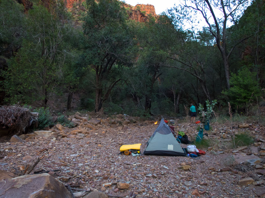
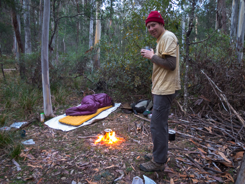
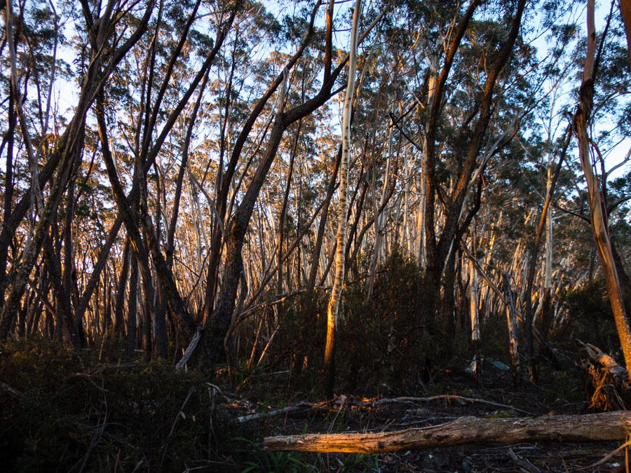
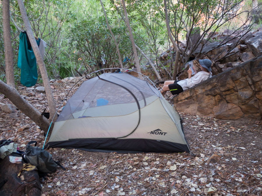
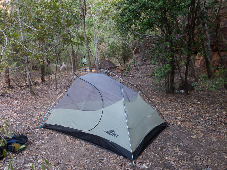
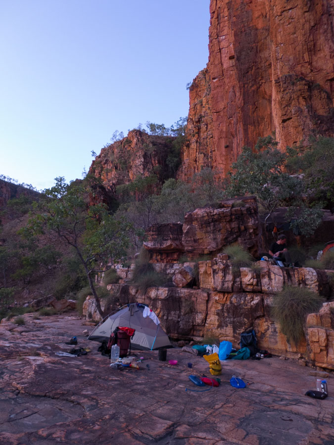
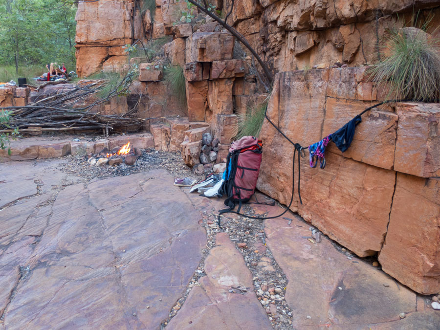
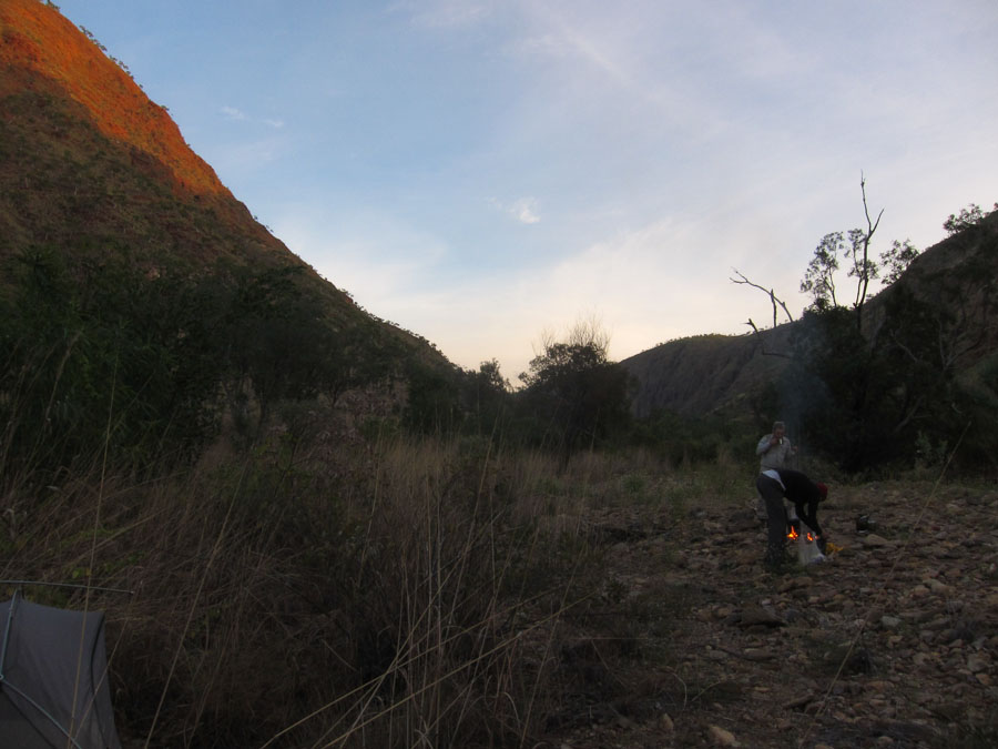
Camp cave on night 1
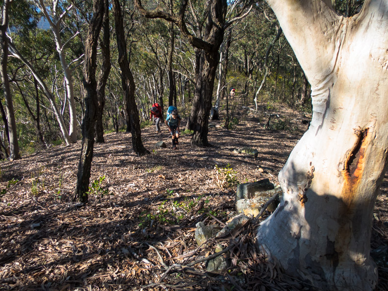
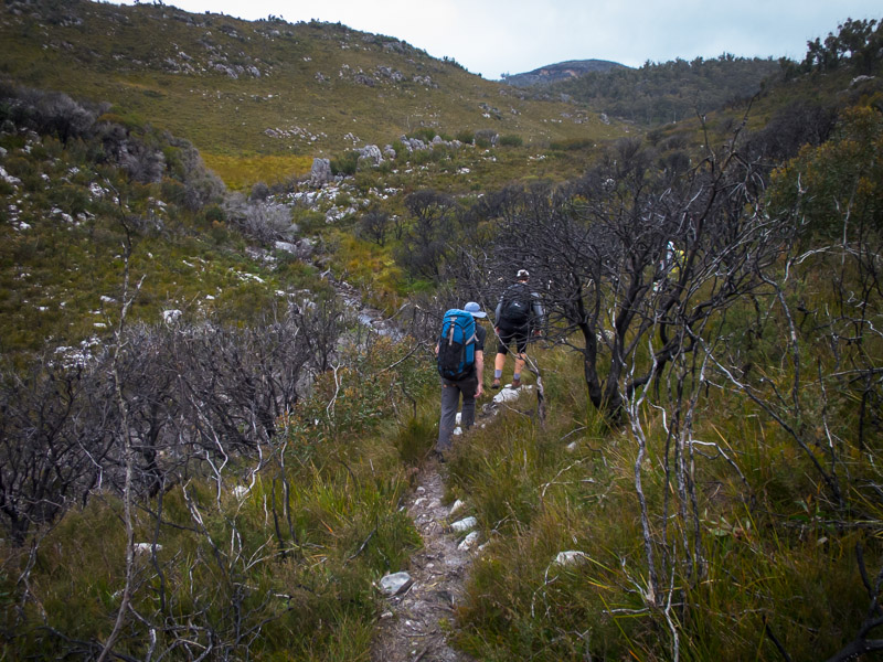
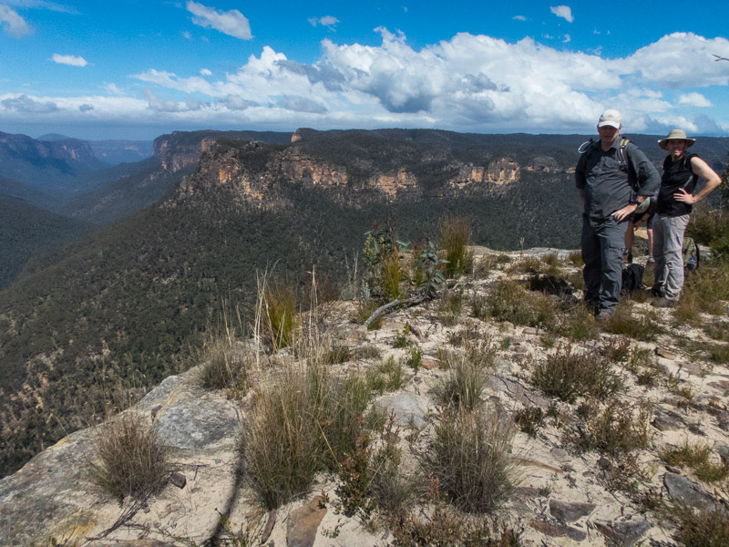
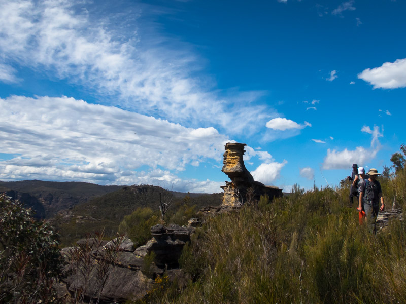
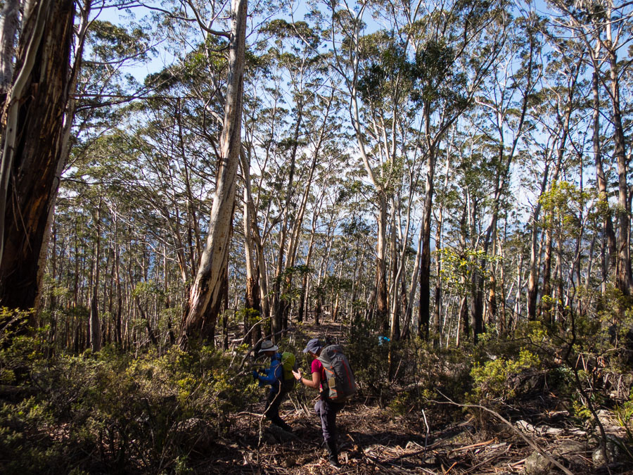
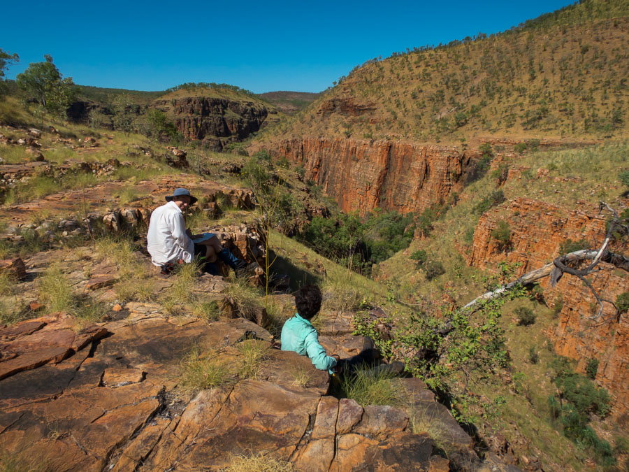
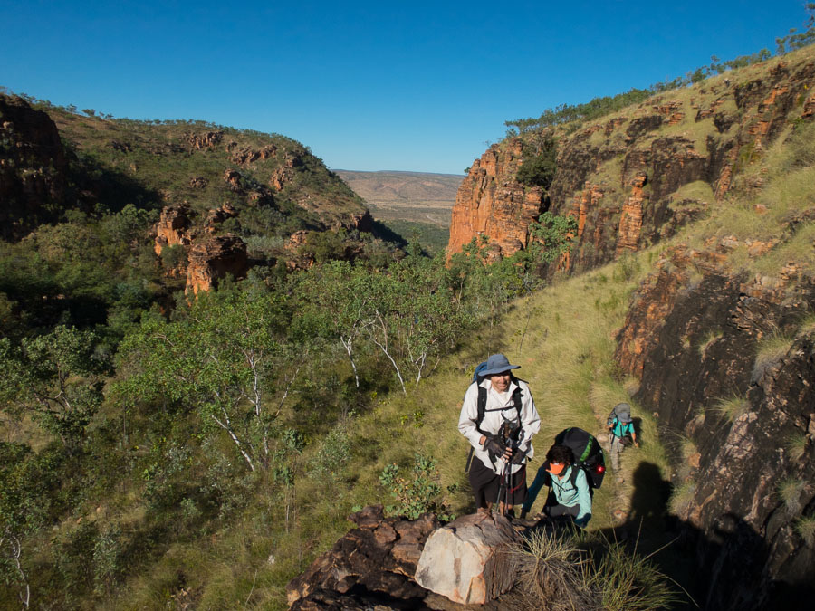
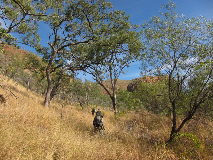
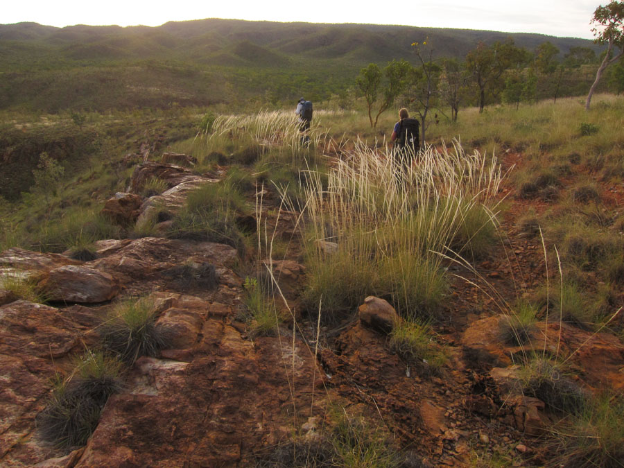
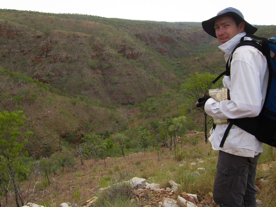
After a relatively leisurely start the next morning we set off along Lacys Tableland. The topography of the plateau means that most of the walking is inland away from the cliff edge and views. The walking wasn’t particularly quick as it was quite scrubby though thankfully we had left the kangaroo thorn behind after ascending the pass. It was another overcast, windy day but the cloud cleared occasionally to give us a bit of sun.
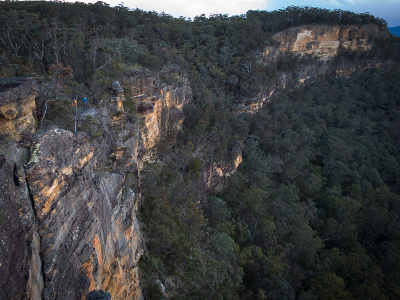
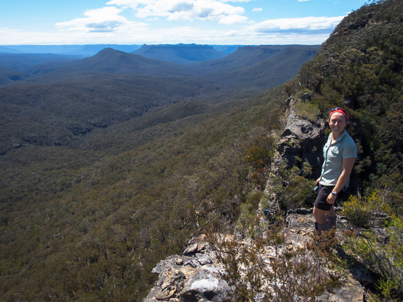
A rare moment on the cliff edge on Lacys Tableland
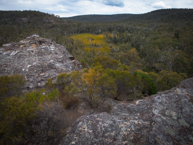
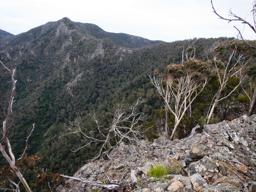
Views
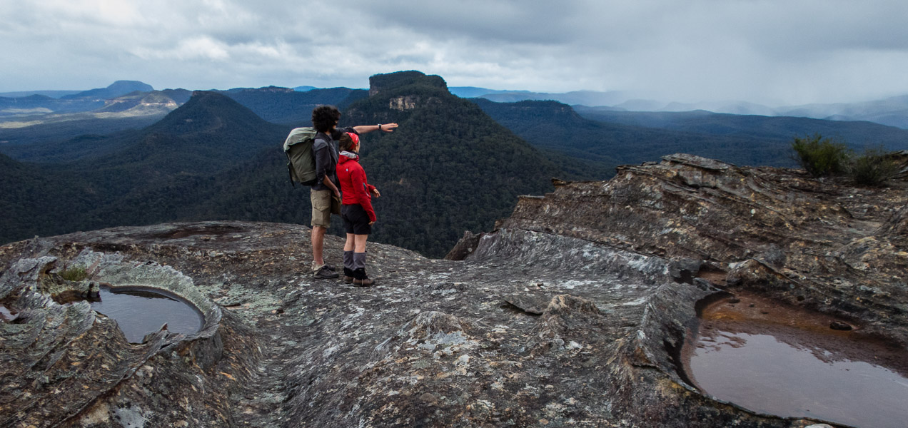
Recognising features in the distance from an unfamiliar viewpoint
Umm, do you know what you’re standing on?
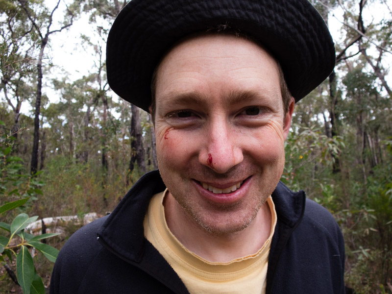
Tom came off second best with a flicking plant. Also note the singed eyelashes.
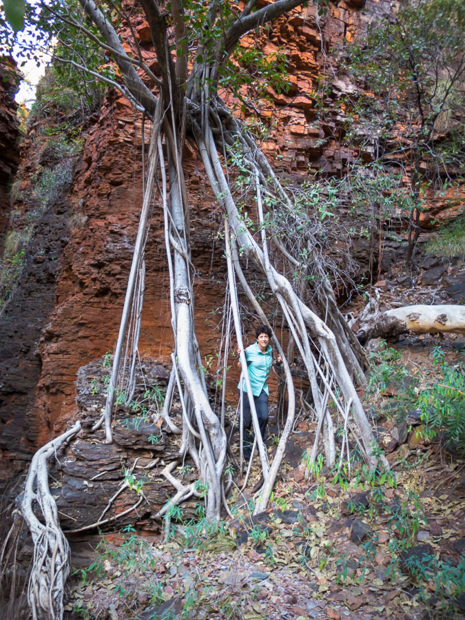
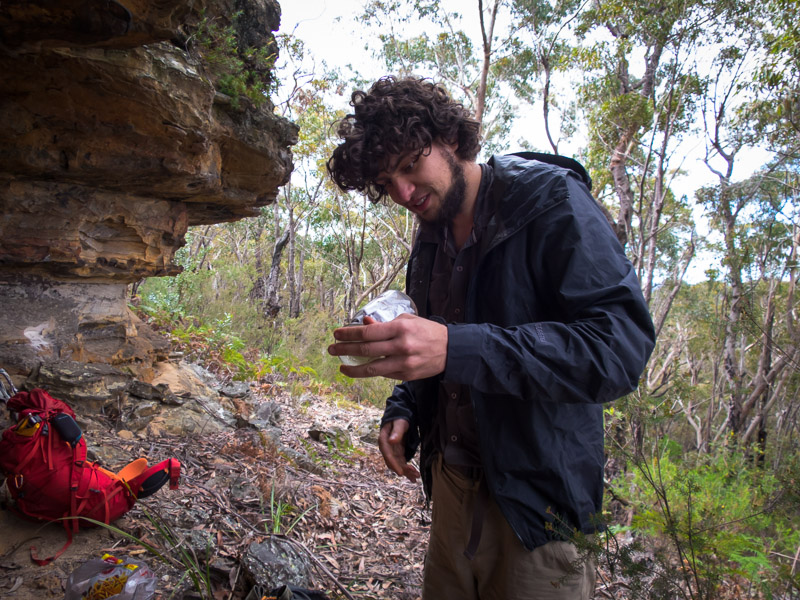
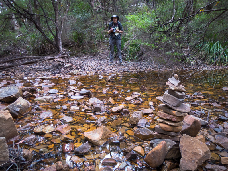
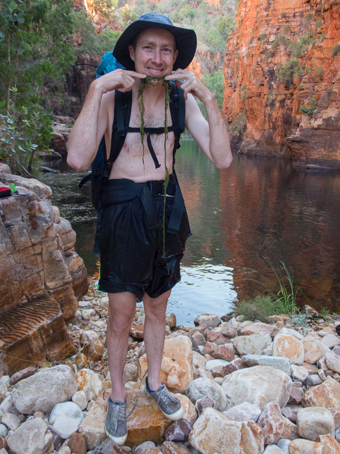
A squally shower came over as we were starting lunch so we retreated to an overhang. Alex was looking for a visitors book when he spotted an unusual pile of rocks stuck into a hole and behind them was a sealed glass bottle full of notes. It looked like some sort of time capsule project, it said the jar was placed in 2003, we left it as we found it.
Alex with his buried treasure
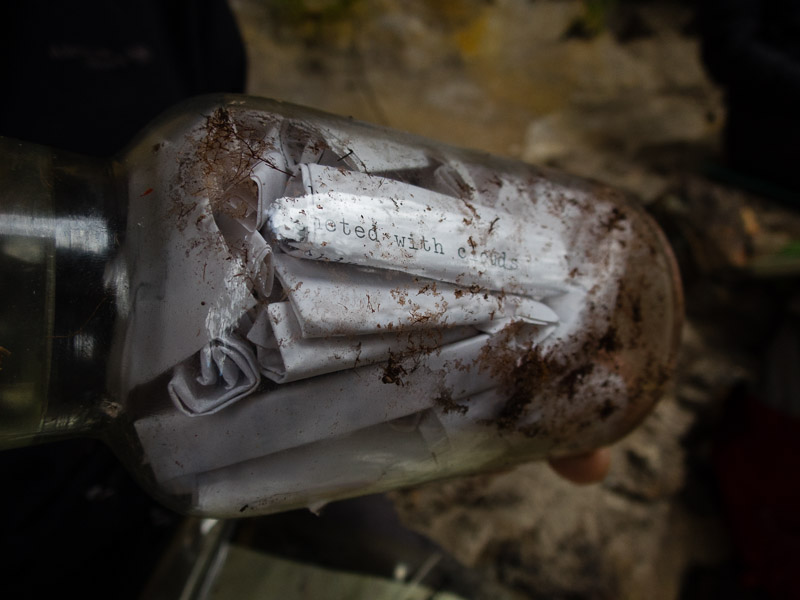
The sealed jar of messages
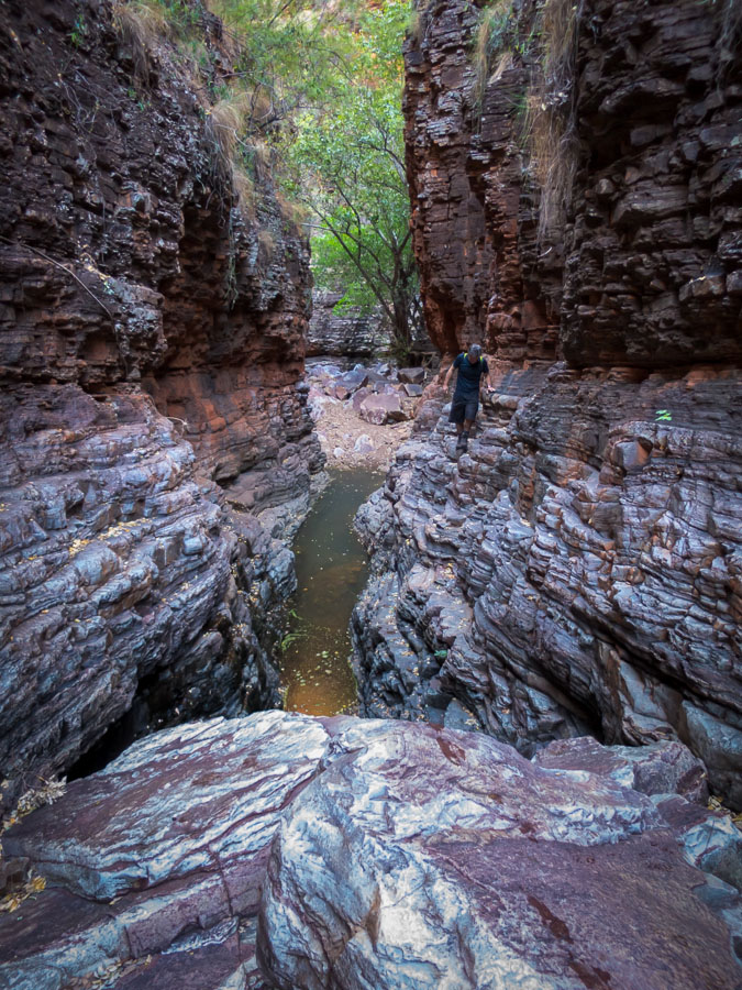
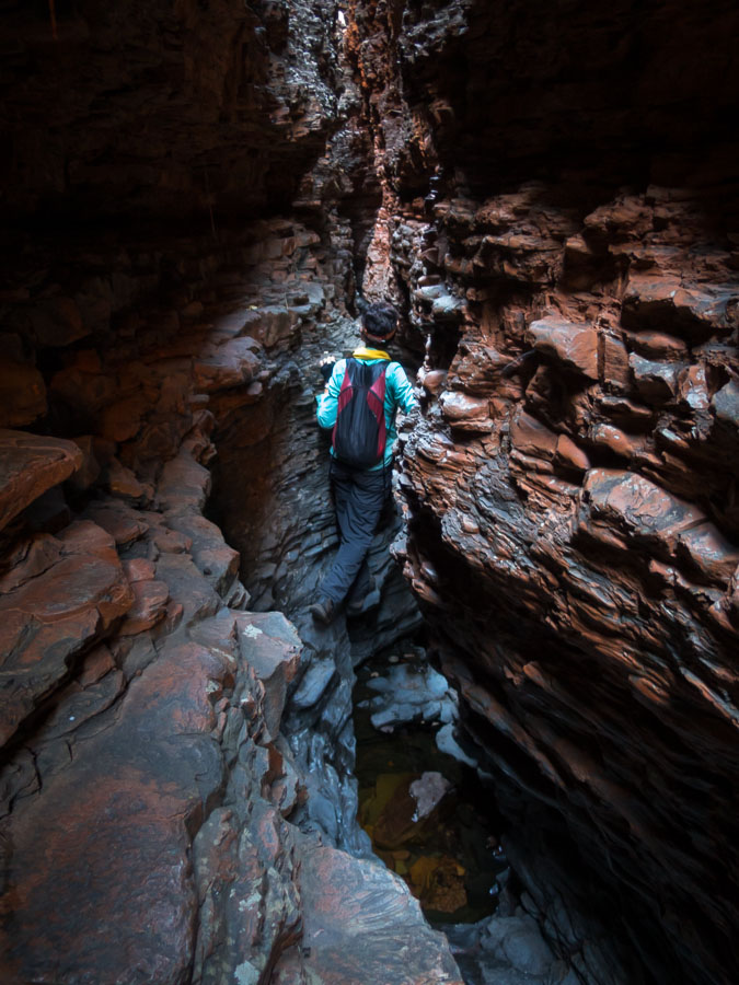
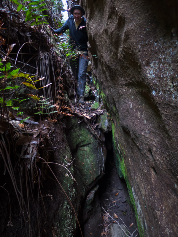
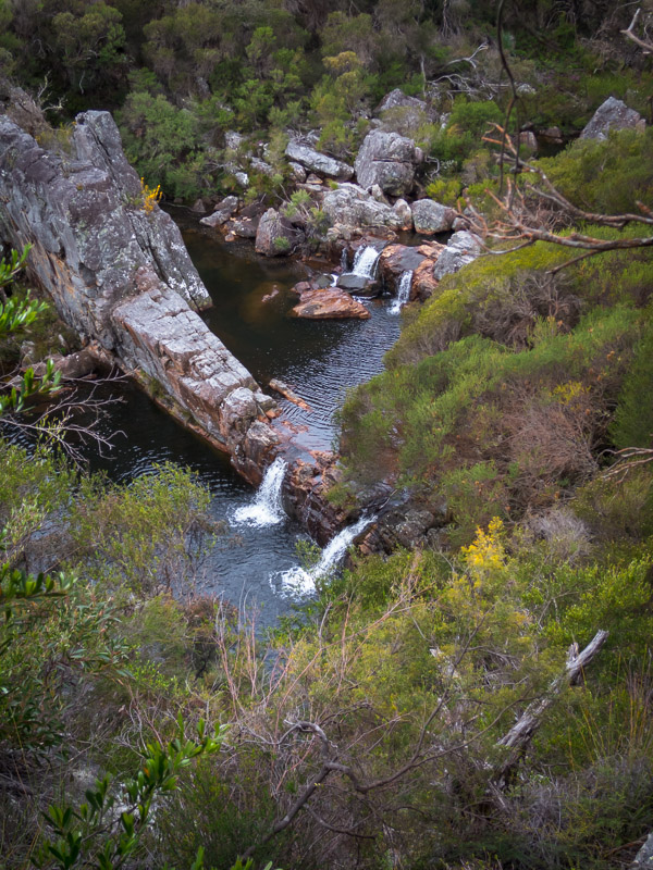
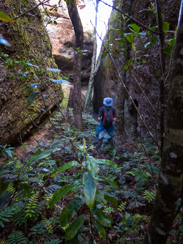
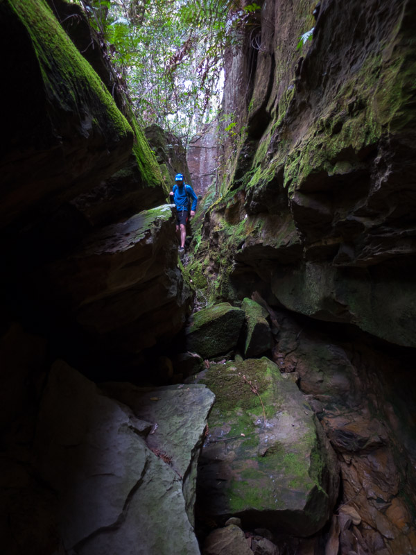
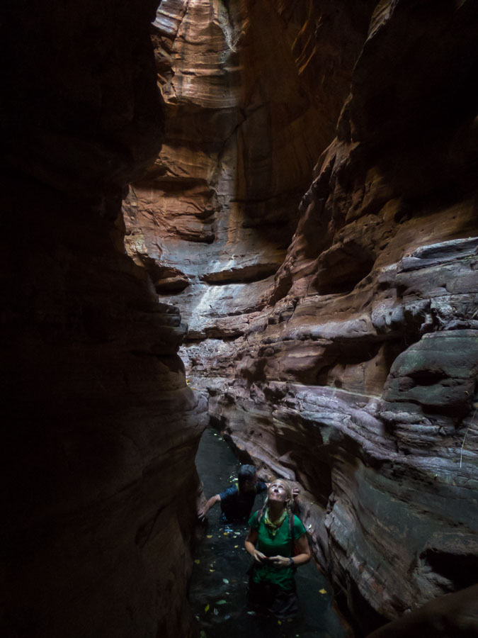
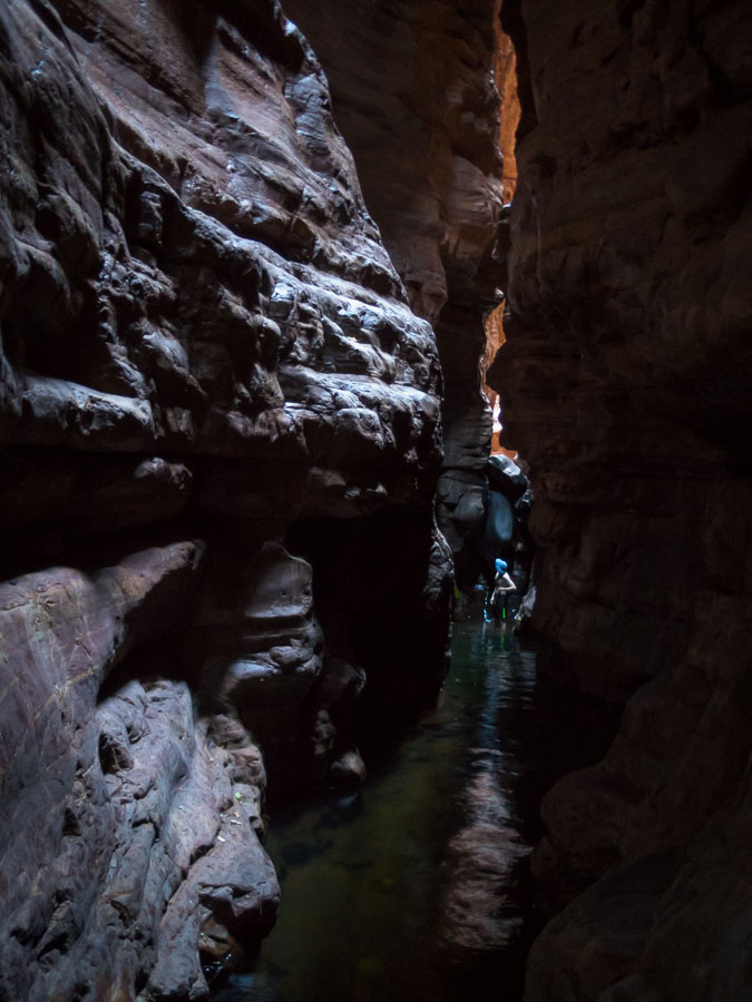
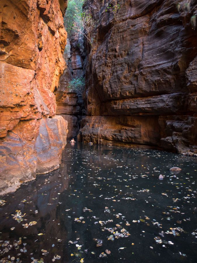
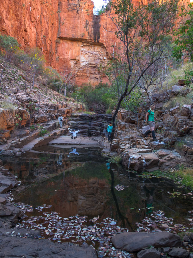
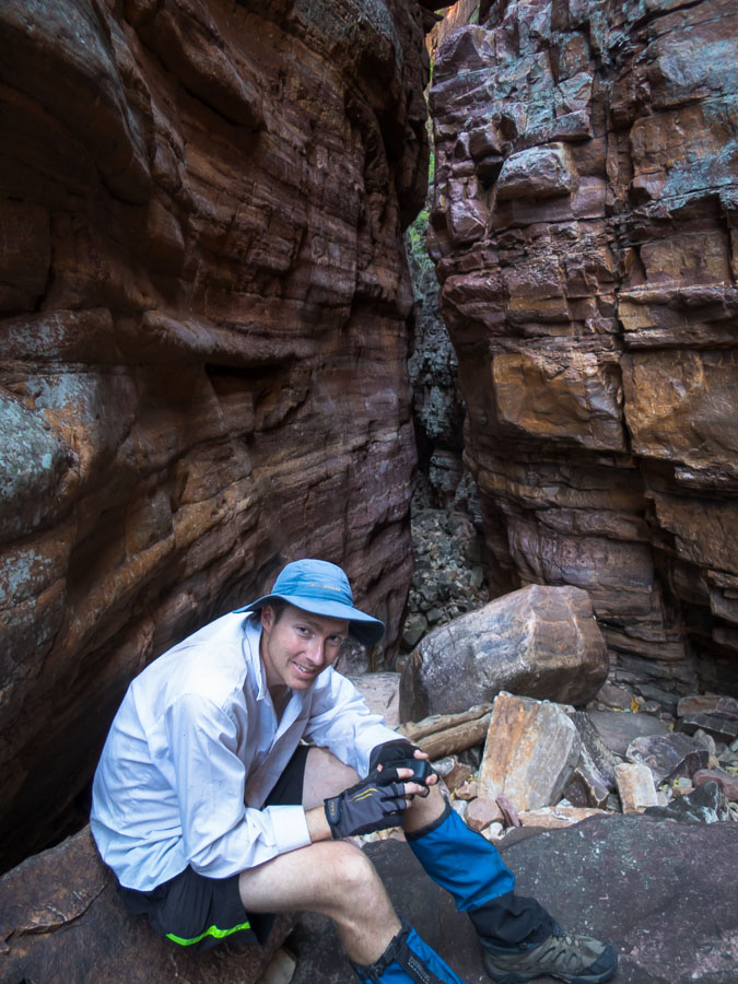
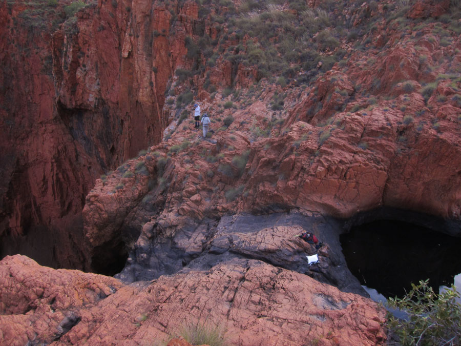
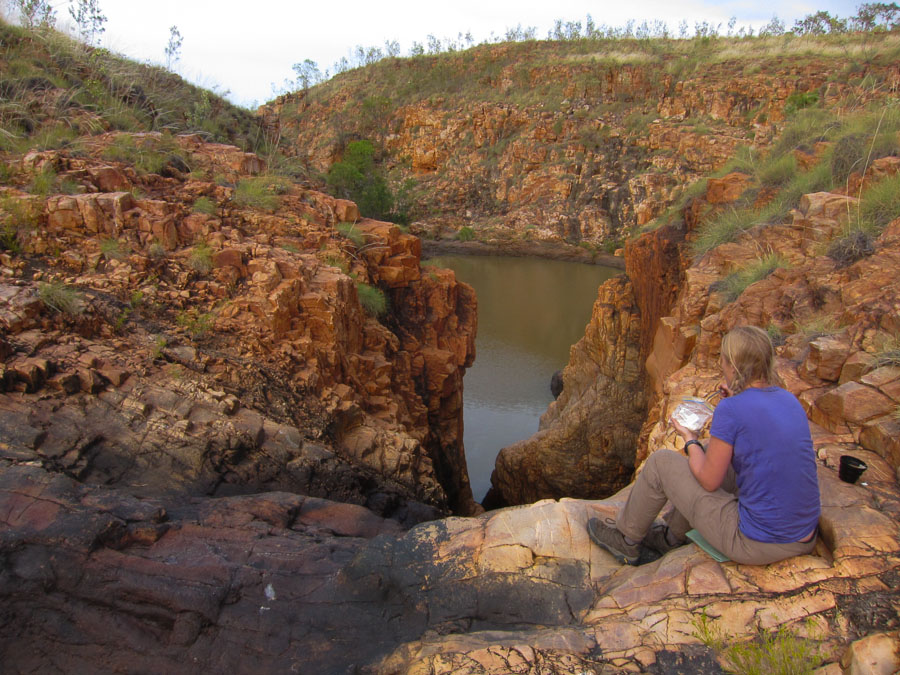
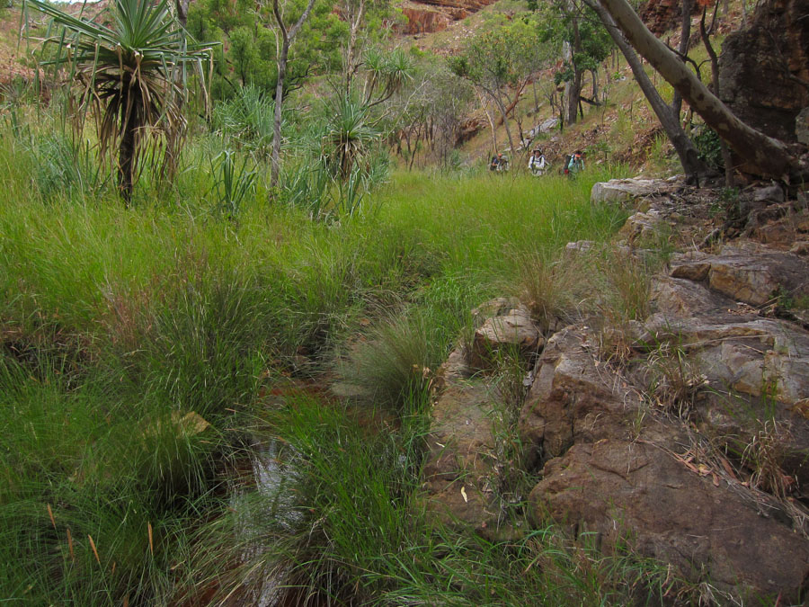
A small canyon on the plateau provided post-lunch exploration and we checked out quite a few overhangs in the creek before continuing north.
Tom in his element
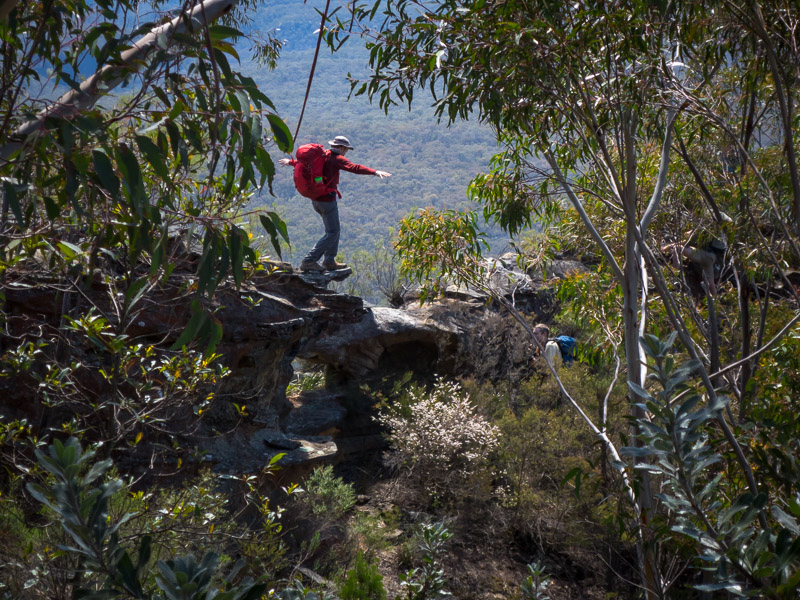
Choose your own adventure!
More cliff edges and views
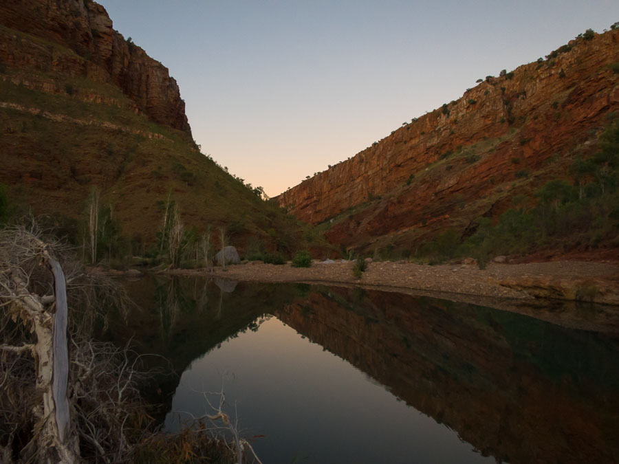
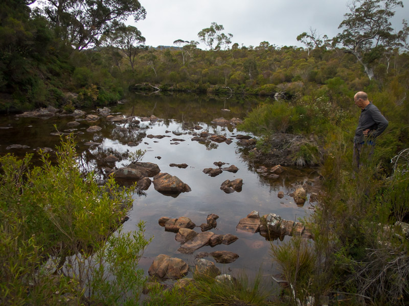
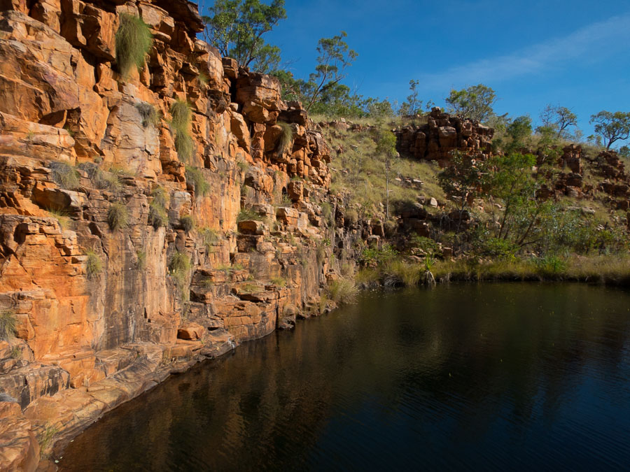
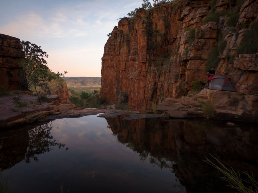
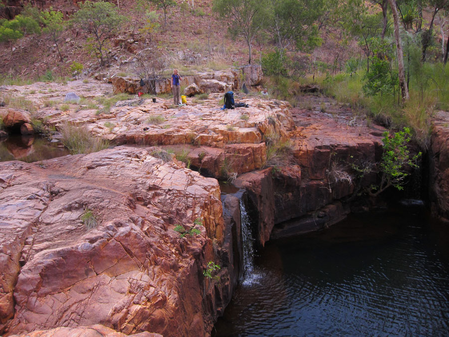
A flat spot not far from our intended pass was camp for the night. Fortunately we found water in the nearest side creek – though I’m not sure that you would rely on it being there if winter hadn’t been so wet.

Nicole happy to have running water tonight
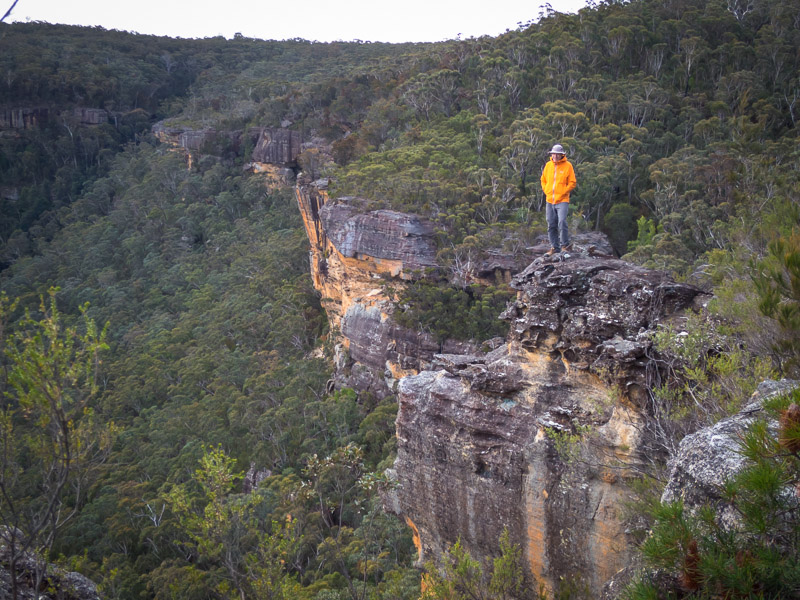
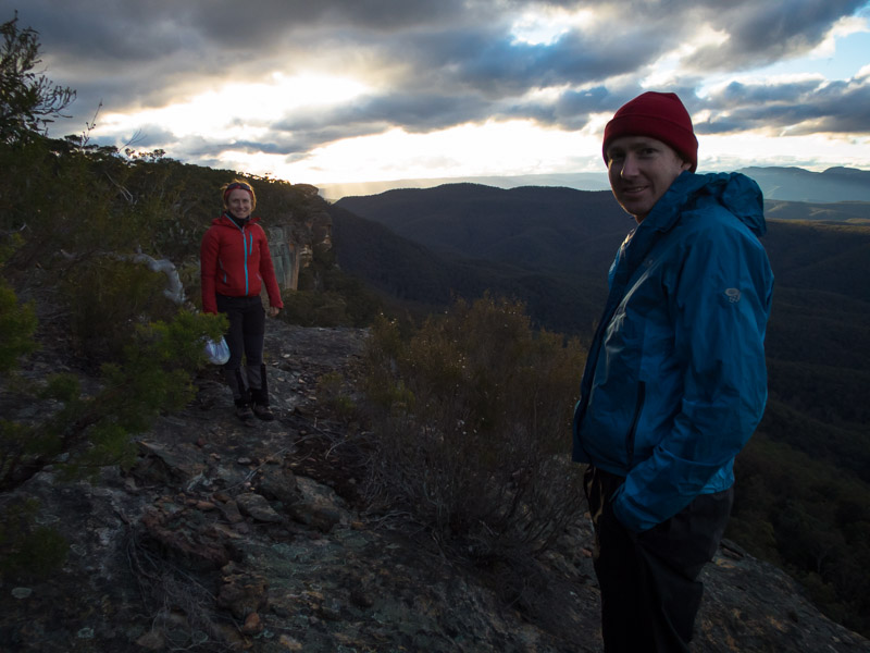
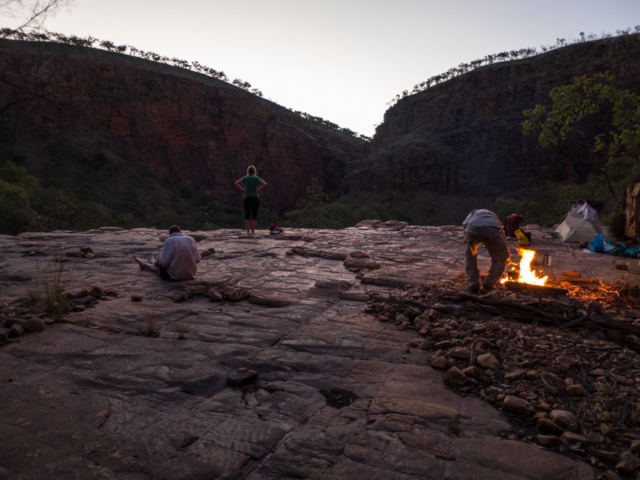
We managed to survive happy hour on the cliff edge without getting blown away. The wind was still blowing strongly but Tom had, much to Alex’s disgust, checked the weather forecast on his phone and he assured us that the wind was scheduled to die down about 10pm (not OTT).
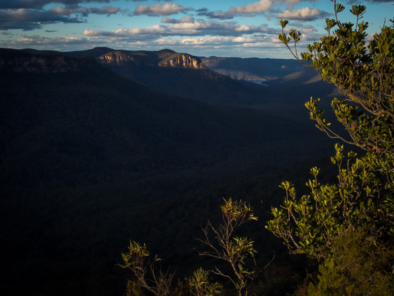
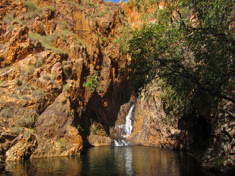
Happy hour views out to Lake Burragarong
Happy hour
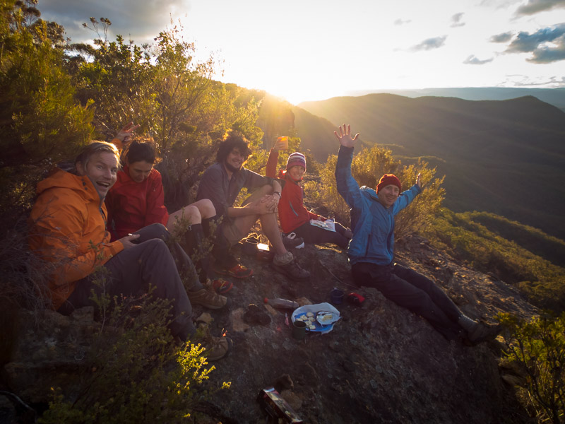
Happy hour!
Happy hour

Smiffy’s not happy with his hair length and has an impromptu haircut
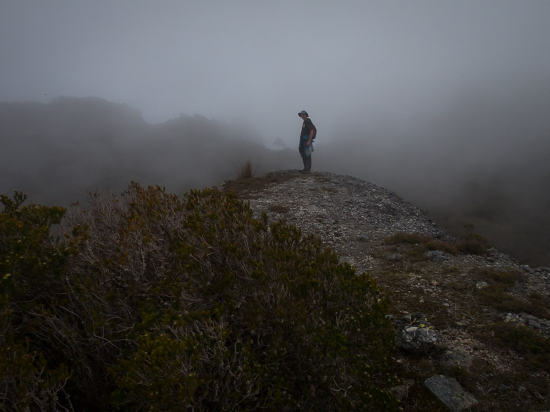
The next morning dawned clear and still – a pleasant change from the overcast windy conditions of the previous two days. We almost made an 8am start – somewhat apprehensive of what was to come after some scouting of our intended pass by Toni, Smiffy and Alex the previous evening.
Breakfast on Day 2

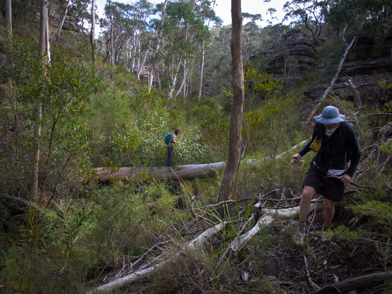
Descending the well vegetated gully
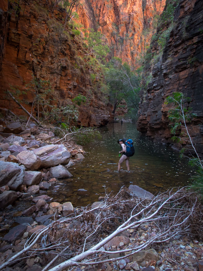
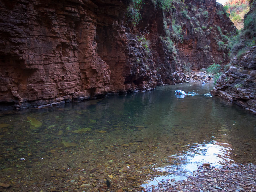
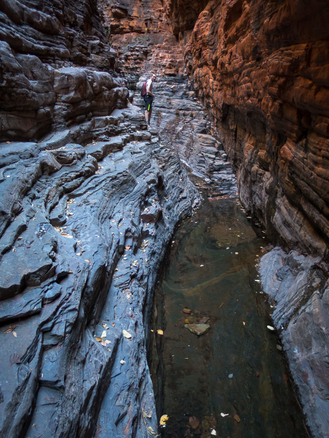
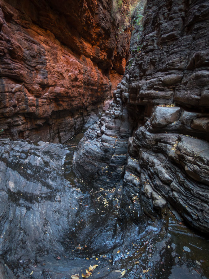
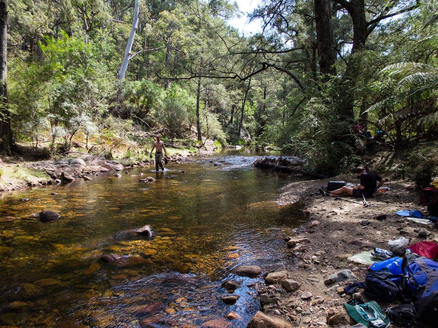
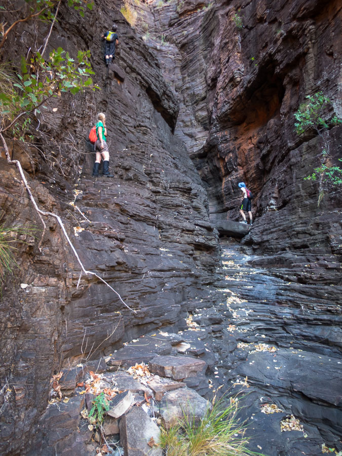
The gully was healthily vegetated but we managed to follow some pig (?) tracks initially, and avoid the head-high nettles. The promised lawyer vine was fairly sparse but nonetheless we were glad for a break from the vegetation under a strangler fig. From there the vegetation changed to more traditional ridge scrub and we headed down. Our intention was to navigate across a number of ridges & gullies to avoid spending too much time in Green Wattle Creek. Our initial foray put us into fairly impenetrable scrub so we headed further down the ridge. This meant the gullies were deeper and more effort to cross; at our last one faced with a bluff we decided we’d take our chances with the creek. Relieved to reach the creek after 3 hours of fairly hard slog we sunk into the ground where we could… until Smiffy realised he’d put his pack on a jumping jack nest.
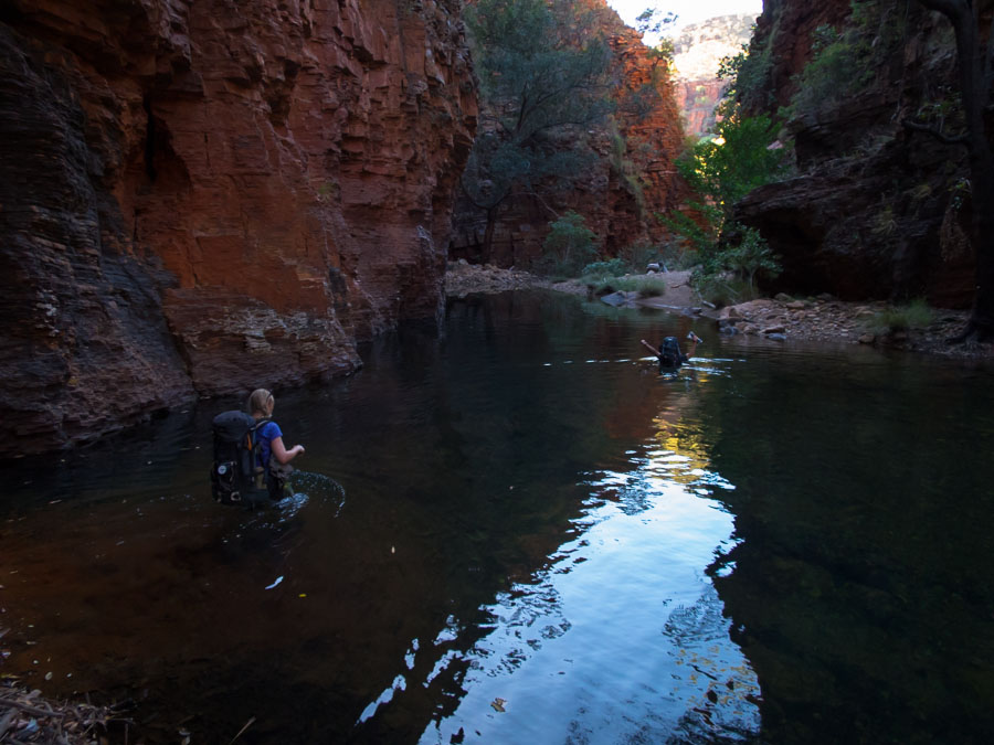
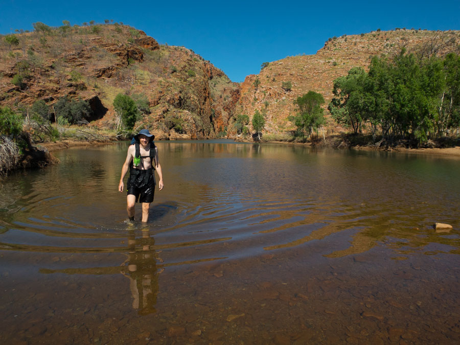
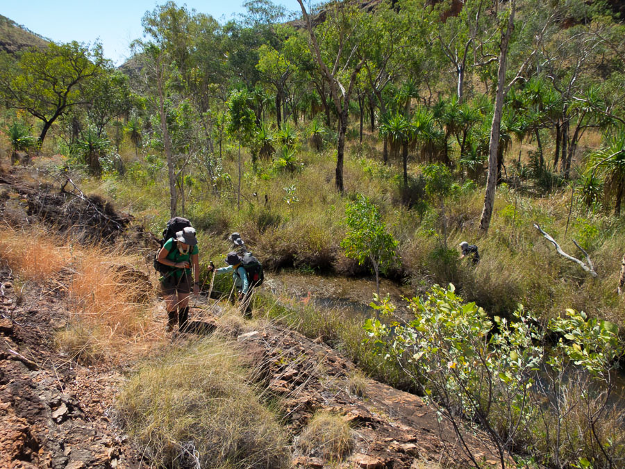
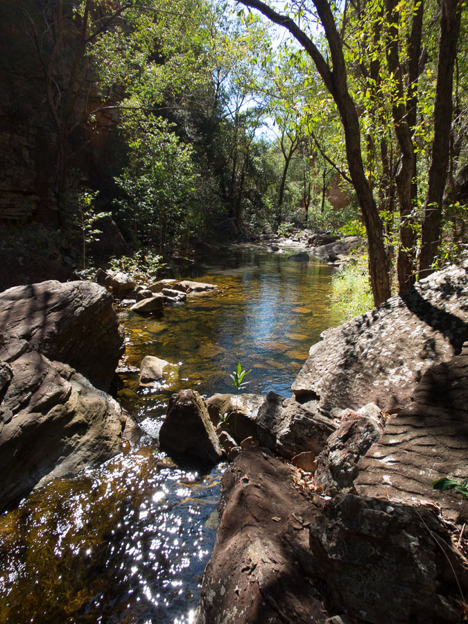
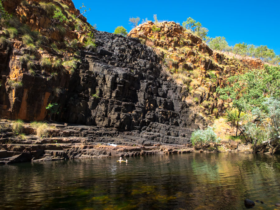
Moving again up the creek we wished we’d walked upstream a few hundred metres before taking morning tea as there were some pleasant rocky slabs but with still a lot of hard territory to get through there was no time to enjoy them. The merciless leader pressed the group on past pools that may have just been deep enough for a swim much to Alex’s disappointment. After what seemed like an age we reached the bend of Green Wattle Creek where we intended to leave it. Lunch was had and we guzzled water knowing we wouldn’t have easy access to it again for a few hours. We were so happy to find the ridge had normal levels of vegetation!
Happy to finally be on an open ridge!
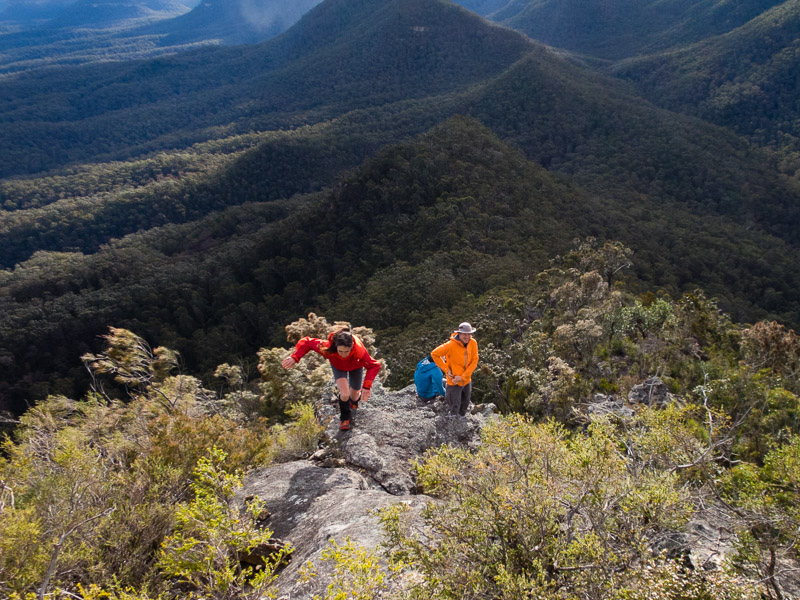
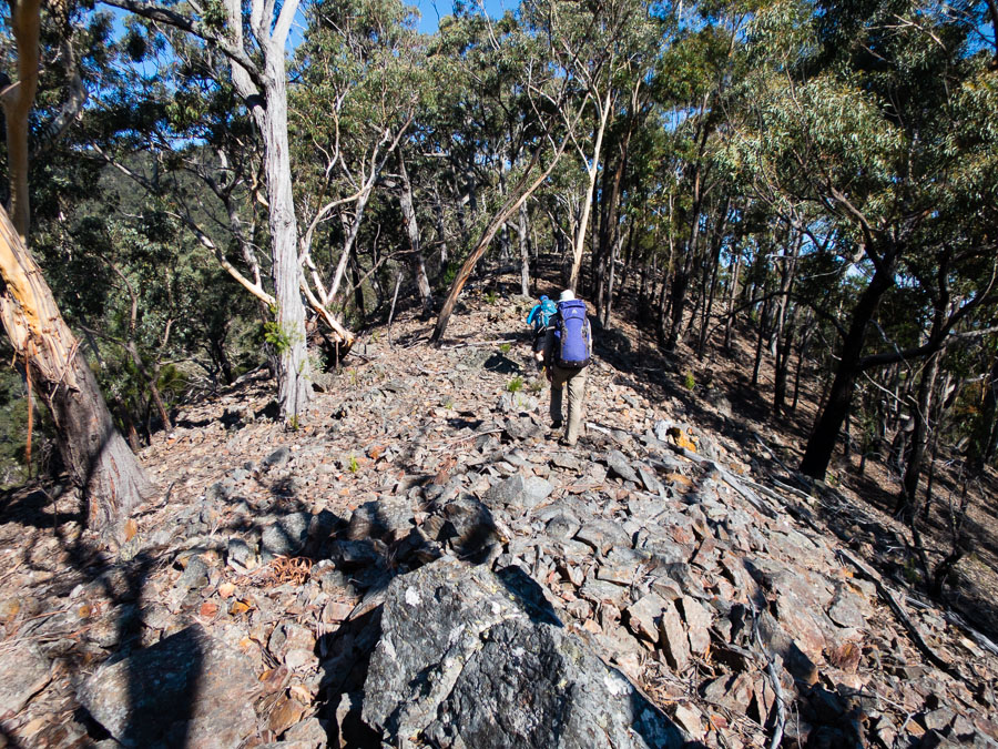
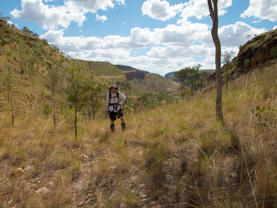
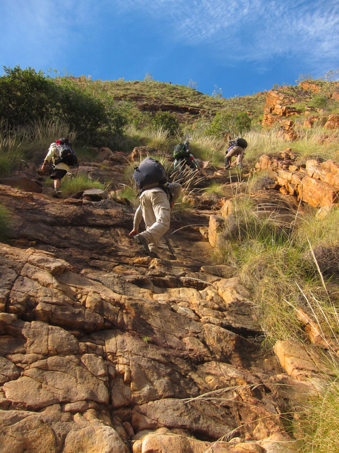
The climb seemed to go on forever – probably contributed to by some optimistic map reading and the warm, still day. Eventually we all made it to the top of Broken Rock Range. We had a break to recover and take in the views before we set off on our traverse. The walking was lovely and the views excellent. We enjoyed afternoon tea near the high point of the ridge. We debated whether the ‘broken rock’ marked on the map actually existed – once in the vicinity we couldn’t see anything resembling the map feature.
Then it was a steep descent and some tricky navigation to try and pick up the southern spur. Alex’s disappointment with the party continued when it was revealed one party member used a GPS for navigation!!! The GPS showed we were on the spur next to the one we had hoped for but it didn’t really matter so we continued to descend. Amazingly the tributary we descended into was flat and grassy and we made quick time down it to the junction with Green Wattle Creek.
Easy walking in the side tributary
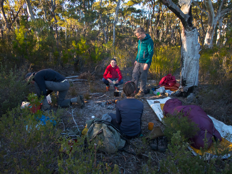
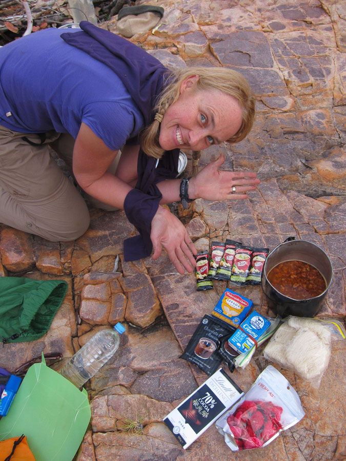
Toni & Alex had generously given the leader an extra 15 minutes before it was happy hour because we’d started 15 minutes after the designated departure time in the morning. The leader delivered deciding on a campsite just before 6:15pm (OTT). Though with firewood collection, setting up camp and general faffing it was closer to the 7pm before we settled down for some very well deserved happy hour around the fire. At this point Nicole pulled 4 oranges out of her bag – which we will all more than happy to eat though very glad we hadn’t been carrying them. Nicole’s happy hour part 2 was after dinner where she whipped up a cake batter (complete with an egg that she’d managed to carry without breaking for 3 days) that then was poured into the orange skins and baked in the fire. Amazing!
Beautiful eucalypt looming over our campsite on night 3
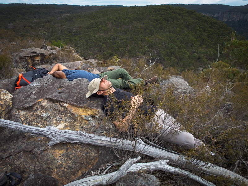
Tom happy (?) to be at camp after our hard slog 10-hour day.
Tom looking slightly chirpier the next morning
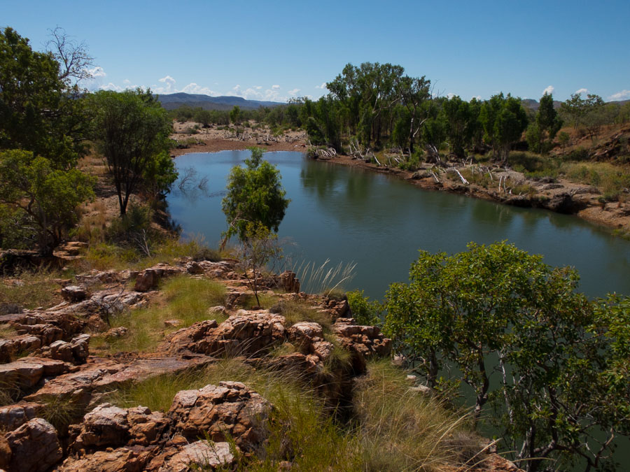
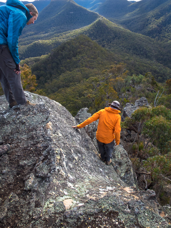
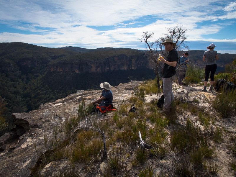
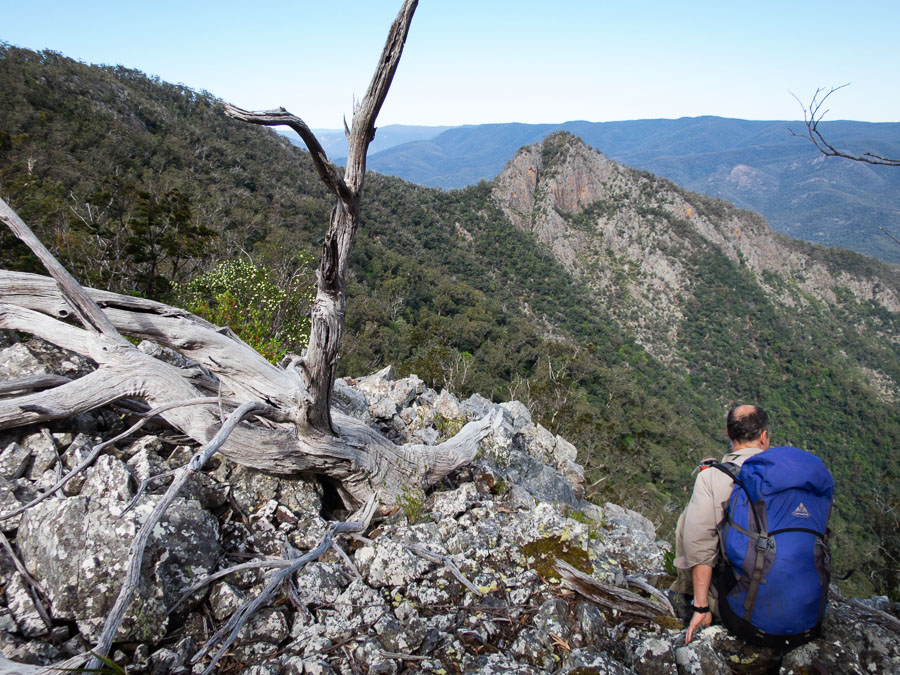
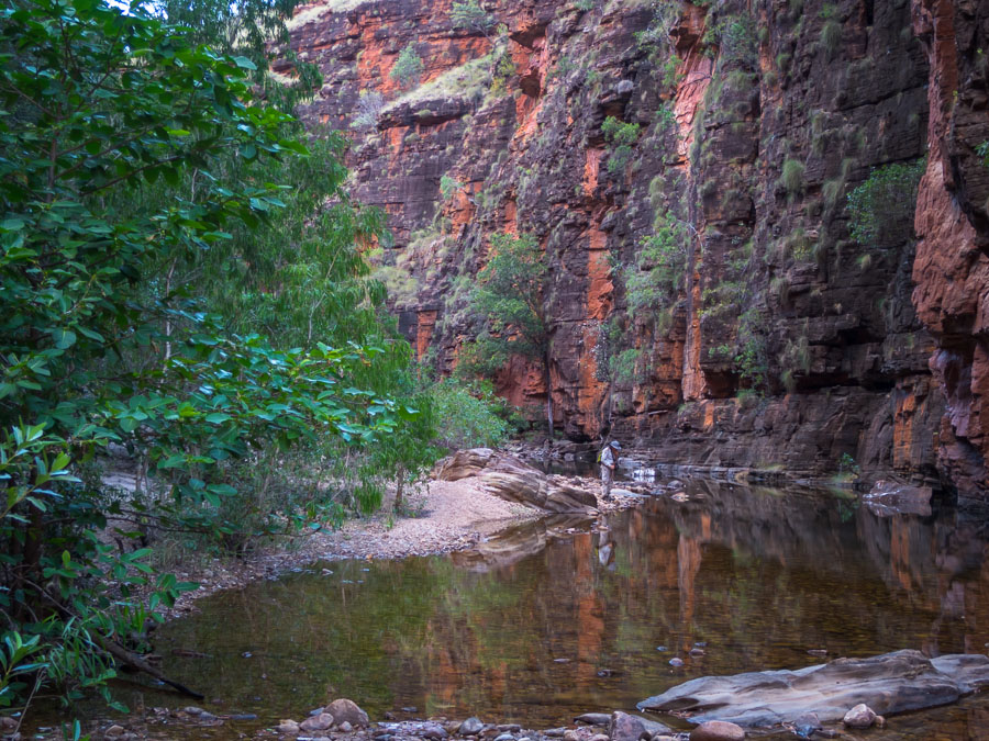
Given we hadn’t made it to the planned campsite for the day we knew day 4 could be long. Just over a km of Green Wattle Creek took us more than an hour in very thick scrub. We were glad we hadn’t decided to push on the night before! We filled up water at the junction of Butchers Shop Creek and Green Wattle Creek, de-leeched and started up the ridge to Vengeance Peninsula. The sun was out though the wind was back – the views from Vengeance Peninsula were outstanding.
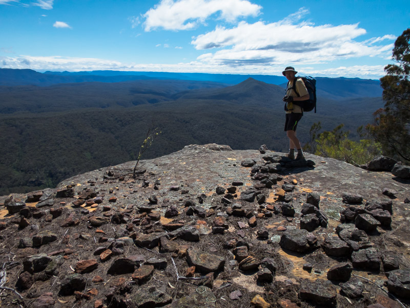
Many excellent views from Vegeance Peninsula
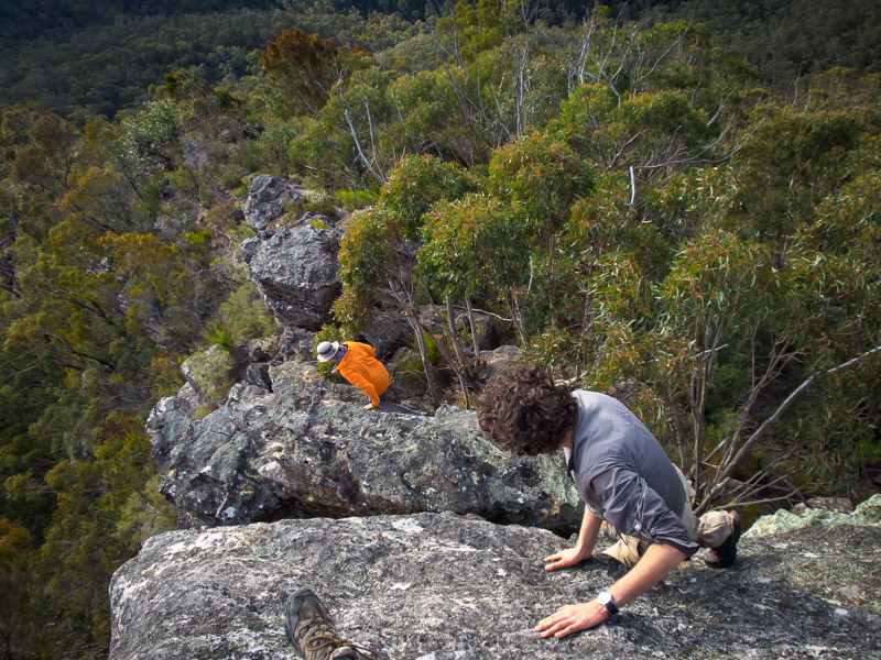
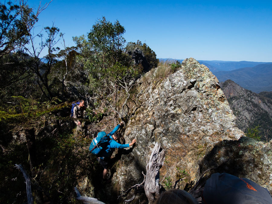
Tom & I had been somewhat apprehensive about the “thin bit” especially given the wind – fortunately it was nowhere near as exposed/difficult as we’d been anticipating with only the one exposed downclimb. We stayed there a while taking lots of photos. Alex took the direct scrambling route up the nose with the rest of us opting for the easier route to the left.

Tom spotting Nicole on the exposed downclimb
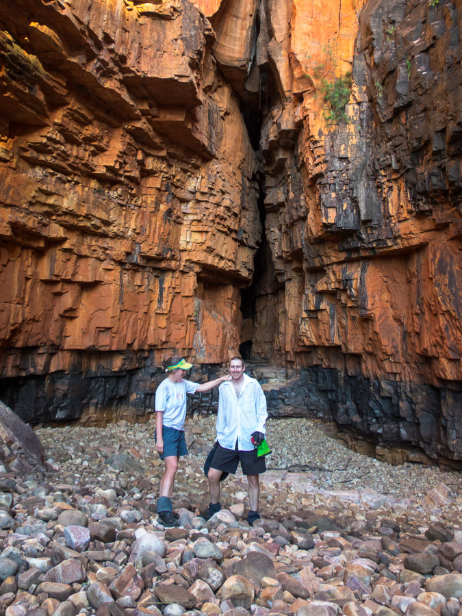
The “thin bit” on Vengeance Peninsula
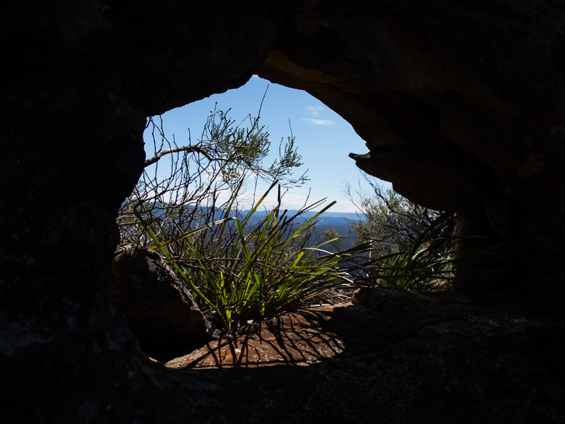
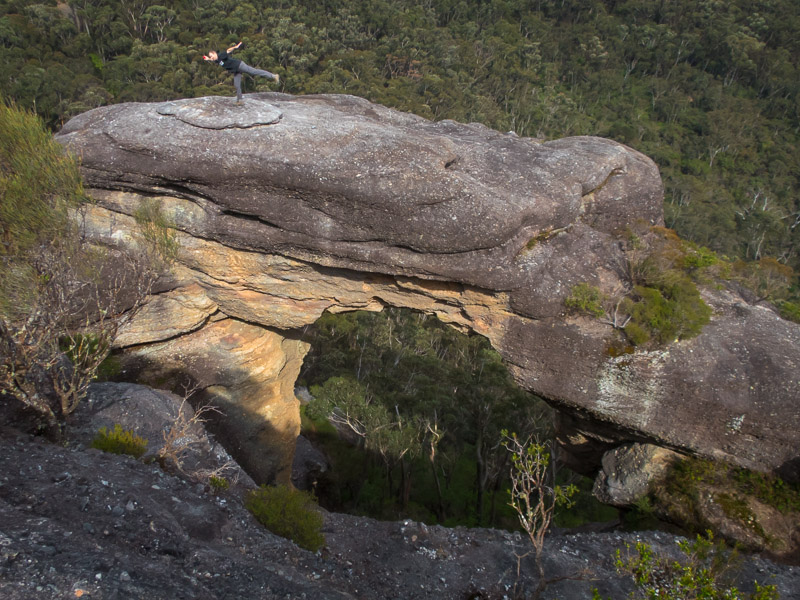
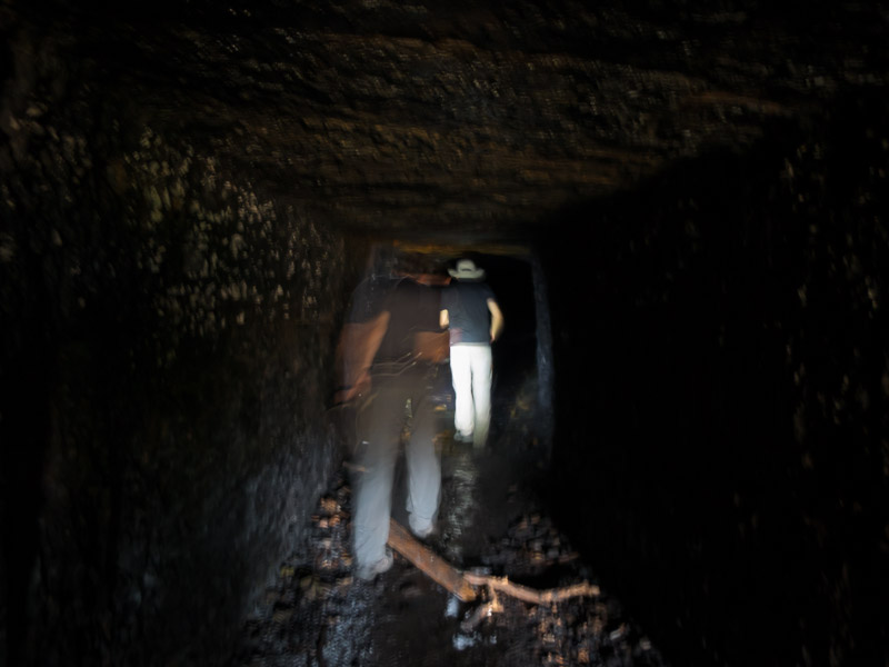
Window under the “thin bit” on Vengeance Peninsula
Nicole happy to be across
Smiffy much more comfortable with exposure than I am!
Looking down on the others on the “thin bit”
Looking down at the others on the “thin bit”
Views back to our walking from the previous 2 days
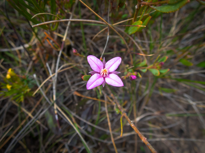
More wildflowers
We had been aiming for lunch on Axehead Mountain but Alex’s protests on Bull Island were heeded given it was 1pm. The twig stove was in action again! Smiffy lost his hat over the edge in the wind, but fortunately was able to retrieve it.
Lunch on Day 4
We were supposedly in familiar territory for most of the party now – with Smiffy & Toni having done this section on a trip in 2013 and Rachel & Tom had traversed the Axeheads from the north in 2011. Our collective memories were not particularly helpful as we had to do a bit of route finding.
Scrambling off Bull Island
Scrambling onto Axehead Mountain

Scrambling on the Axehead Range
A familiar position for Alex…
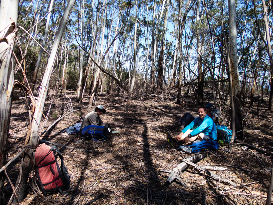
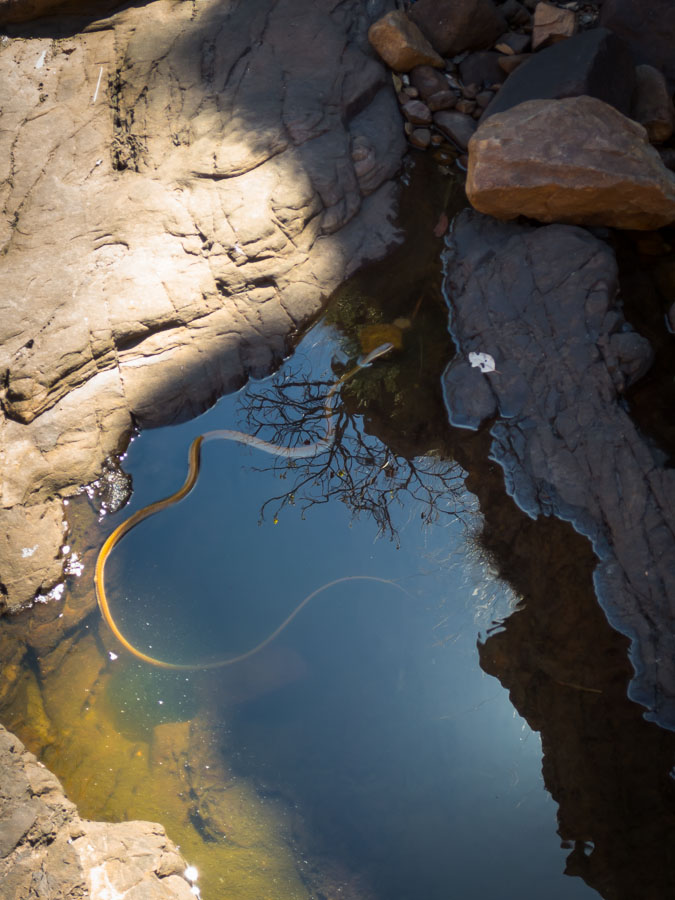
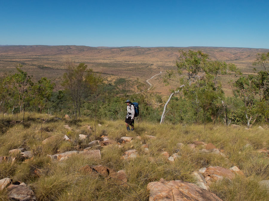
A brown snake was keenly photographed. The wind was continuing to pick up and by the time we got to Gander Head it was a struggle to stand up in it. Not a time to linger on the tops. We soon found the route down and had a short afternoon tea when we got to the fire trail. Then it was just a few km of along the fire trail. Despite most of the party’s aversion to fire trail walking it was quite pleasant after the amount of scrub bashing we’d done in the previous 4 days.
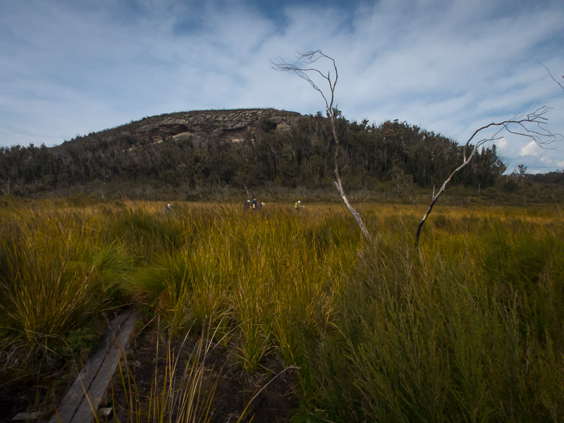
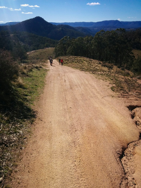
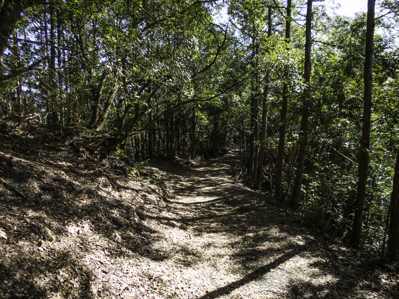
Walking back to Yerranderie
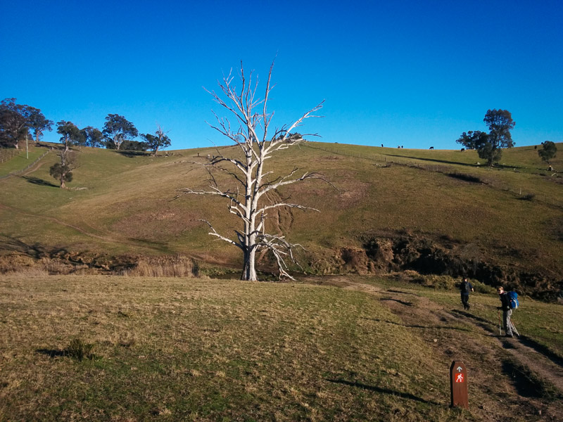
Back at the cars just before 6pm, a quick change and then the start of a long drive home.
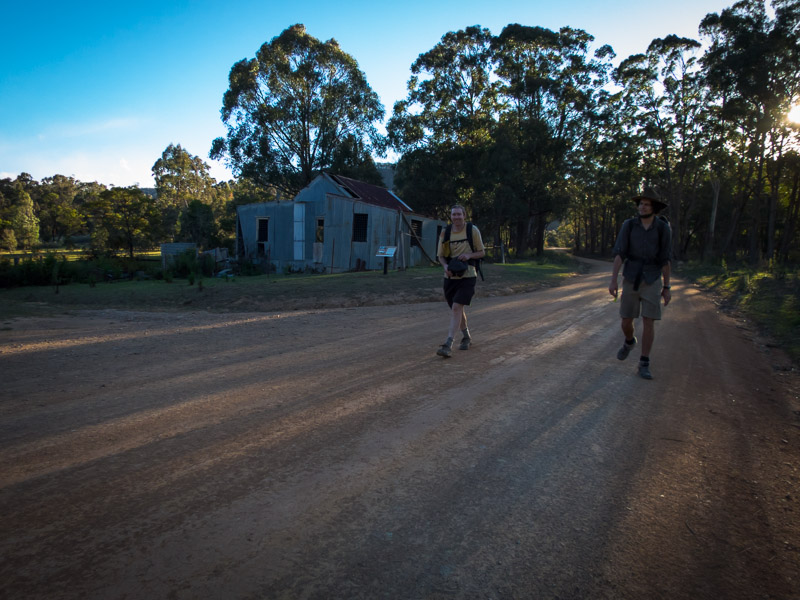
Finally back at the cars


 .
.