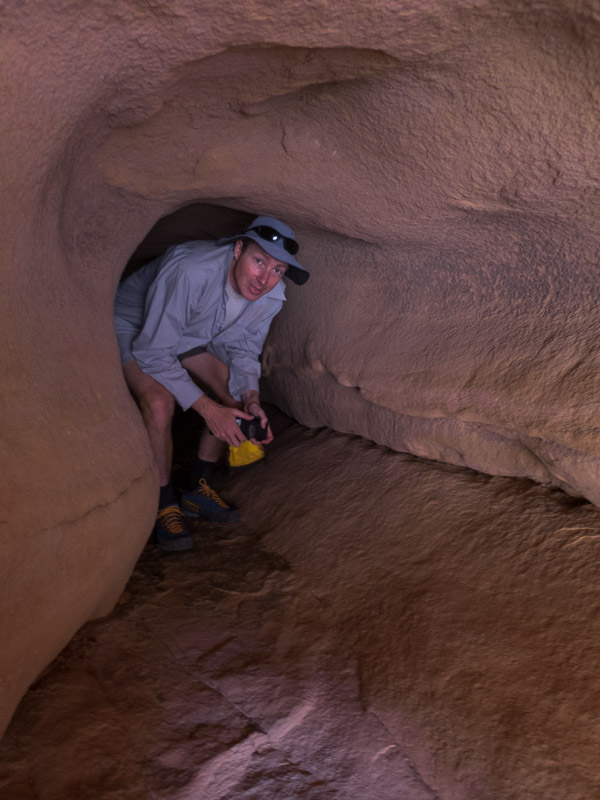
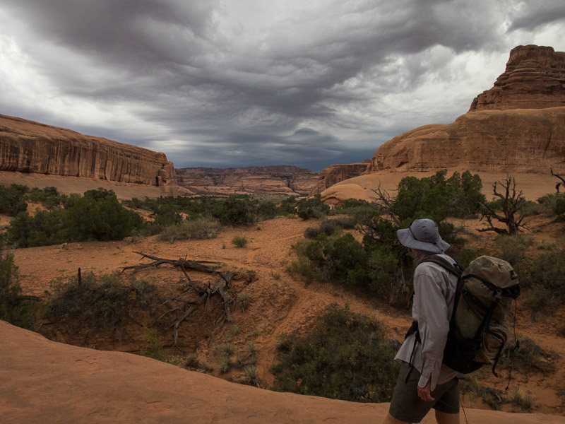
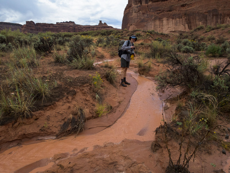
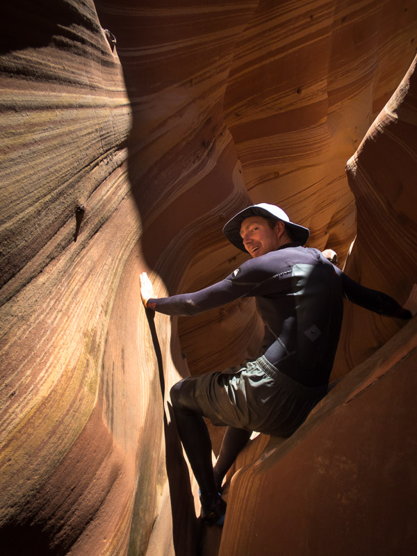
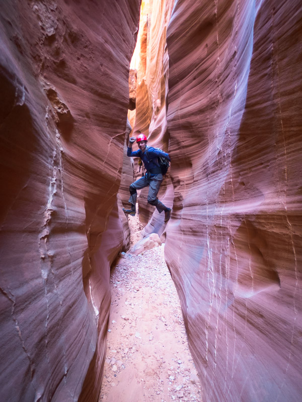
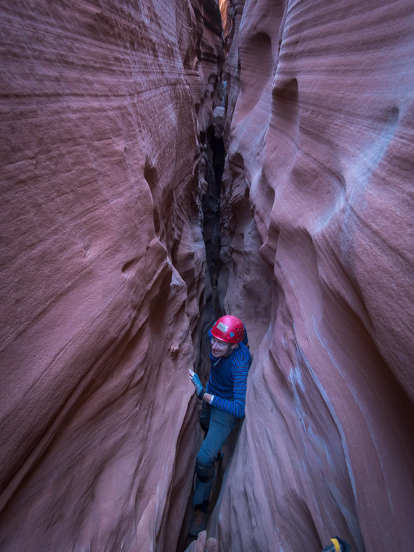
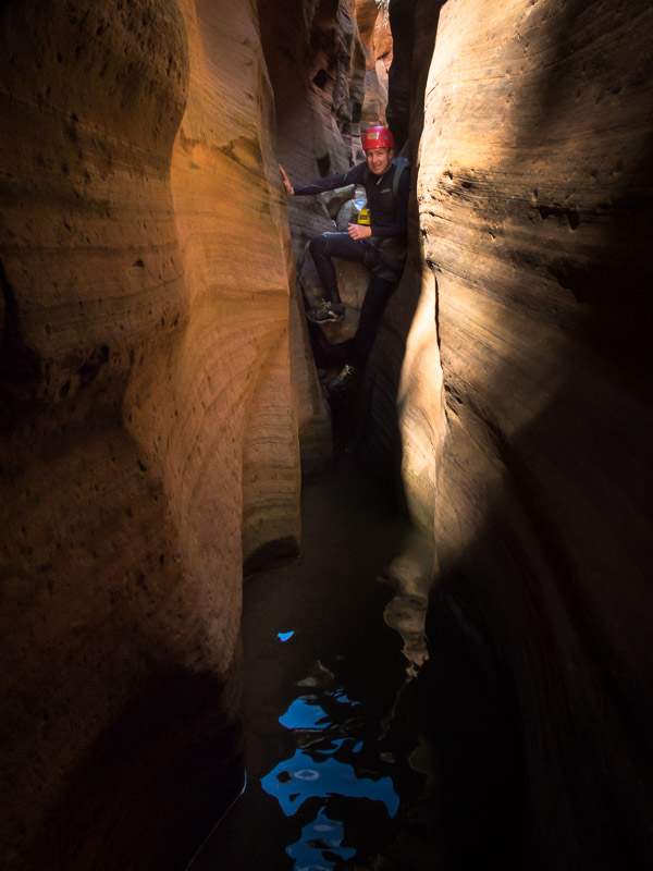
Category Archives: Roadtrip

Utah & Arizona (Sep/Oct 2017) – Part 5 – Cedar Mesa, Grand Canyon, Sedona

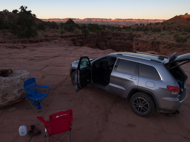
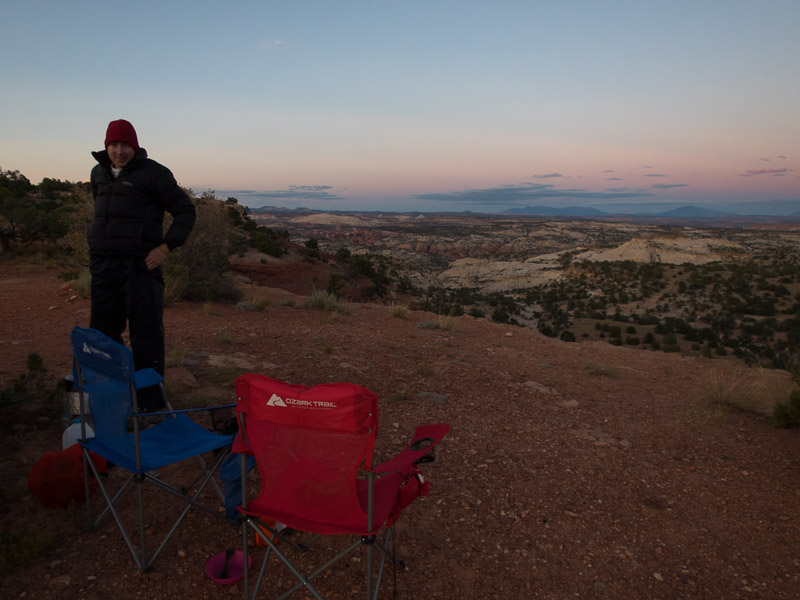
We farewelled the Roost, with plenty of canyons there to come back to, and started making our journey south. We camped in Cedar Mesa at a pleasant site off the road.

IMG_1549

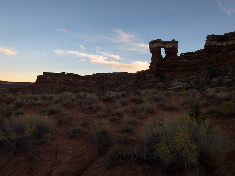
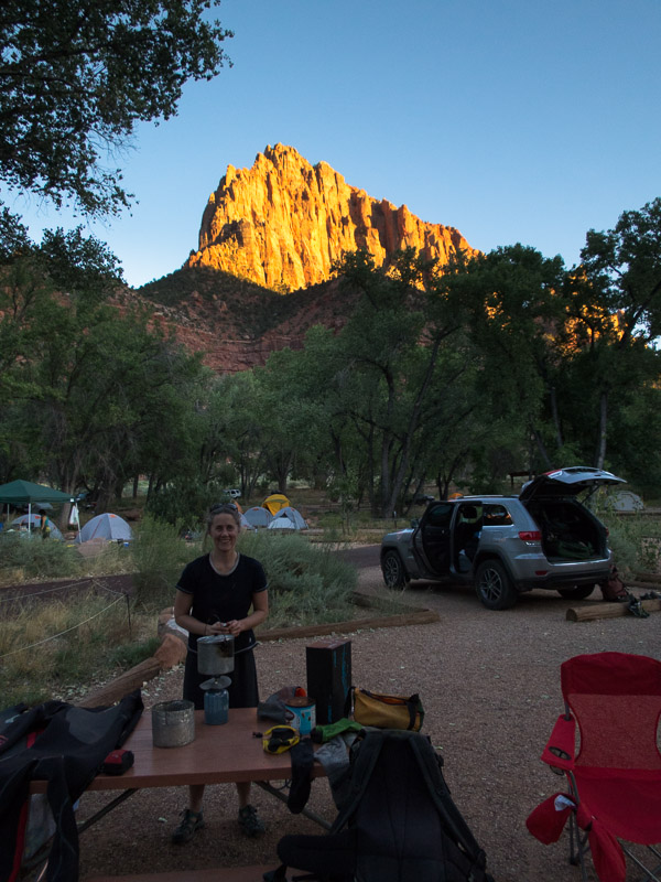
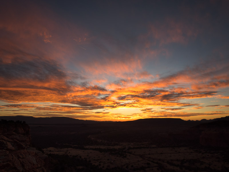
Sunset at our Cedar Mesa campsite

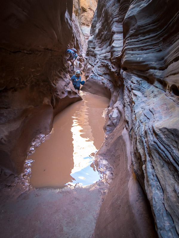
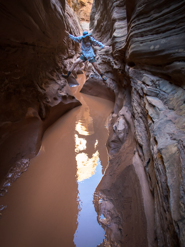
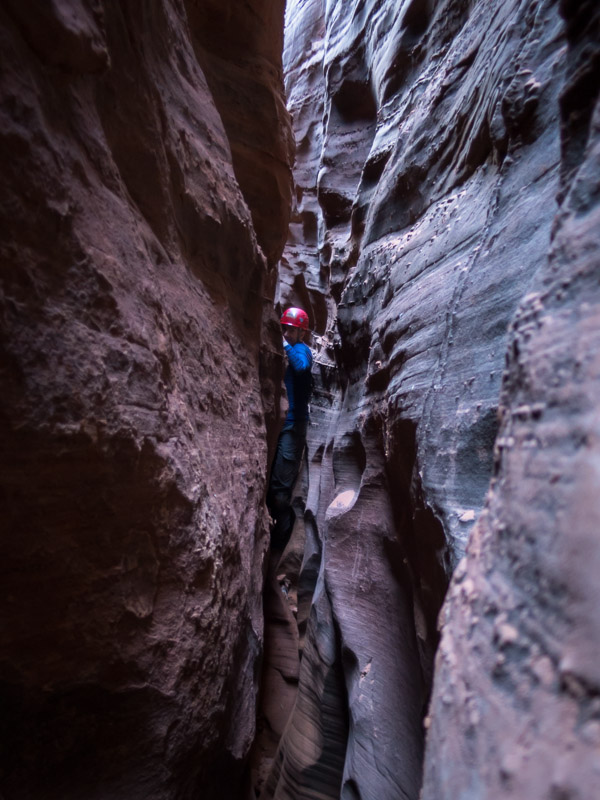
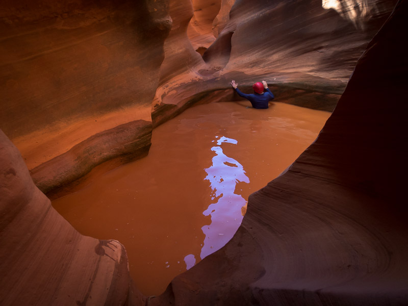
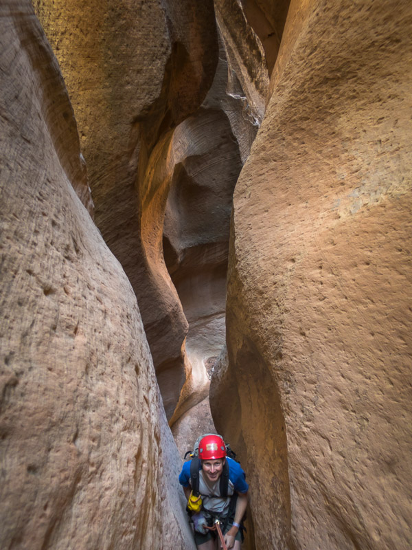
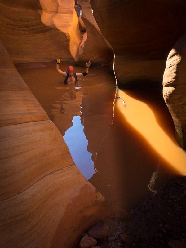
We had hoped to do Cheesebox Canyon but having read up on the road access I’d decided there was little chance we’d make it across White Canyon in our car. Nevertheless we drove to Soldiers Crossing and wandered down the road to have a look. The White Canyon crossing was very rocky with sandy sections on either side and we figured even our Subaru Forester at home would have struggled… and Tom wasn’t keen on Kelsey’s cross-country route into the East Fork so off we went to Fry Canyon instead. Beta suggested wetsuits but that the water might be putrid. We decided some short swims didn’t warrant wetsuits – we didn’t really want stinky wetsuits to deal with after our last canyon of the trip. I was quickly chest-deep wet in the first section of the narrows. Fortunately in the sun it was a warm day.

IMG_1554

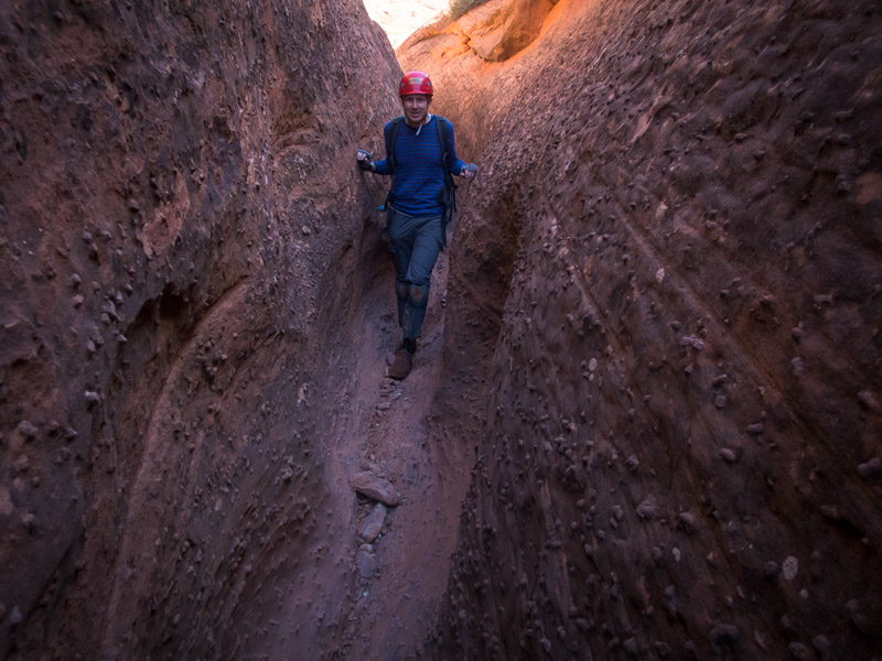
Tom in the first narrows in Fry Canyon (more prepared than me – I just assumed it was going to be below waist deep and didn’t strip off any top layers)

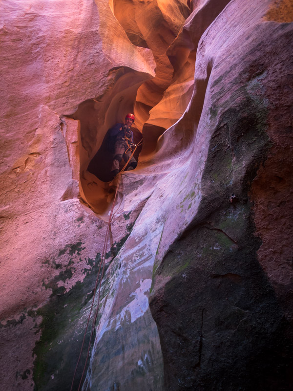
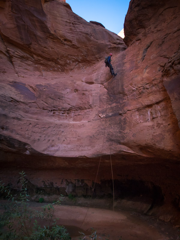
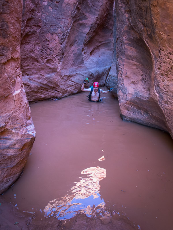
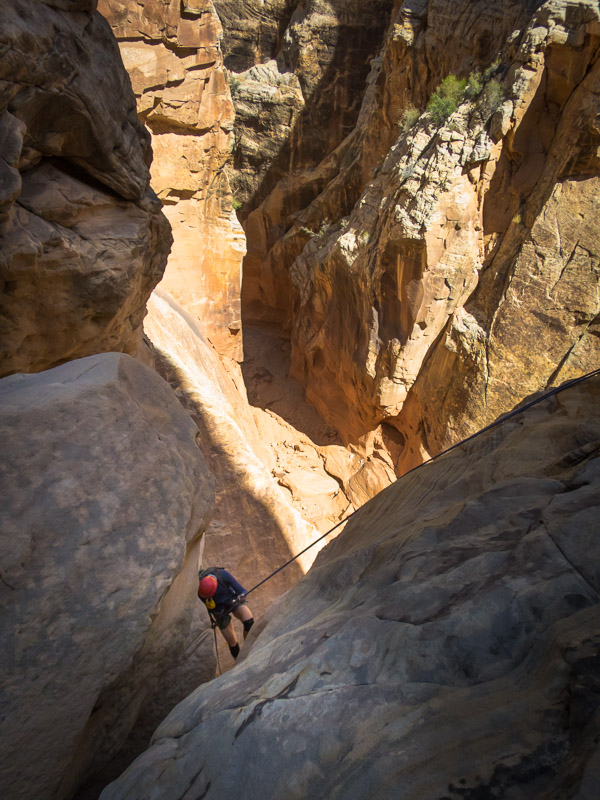
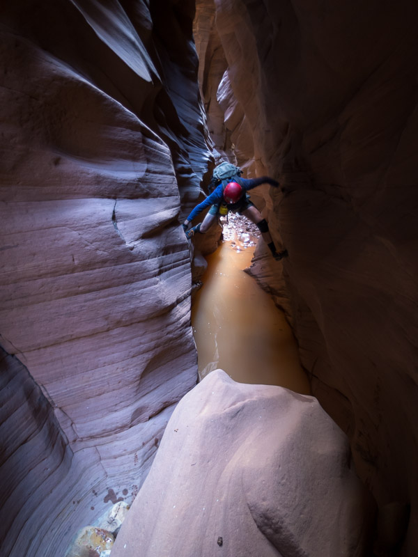
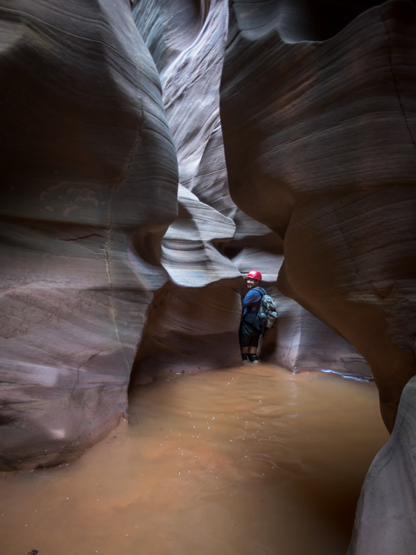
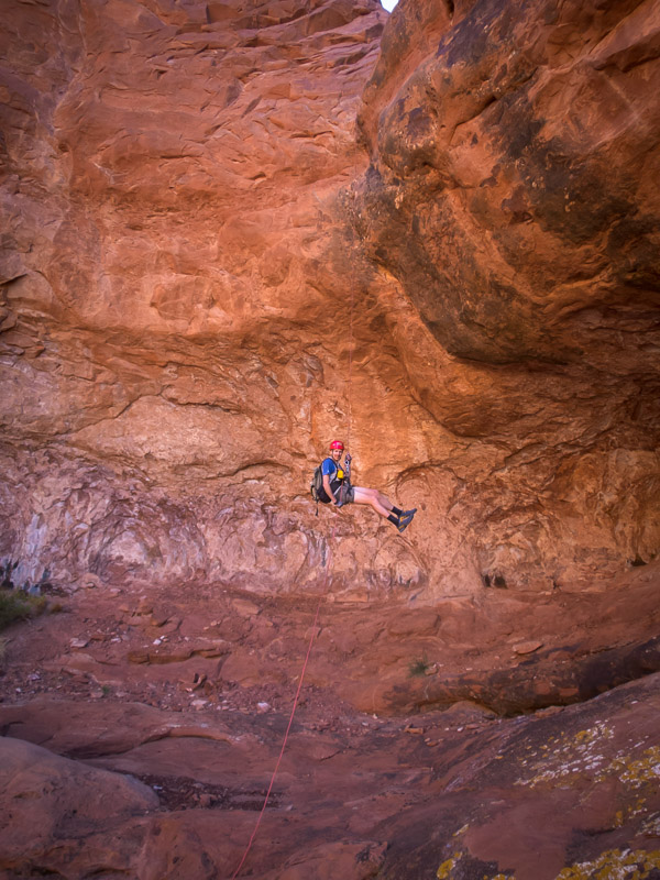
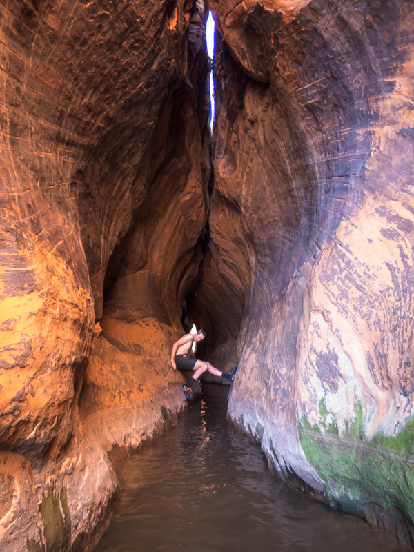
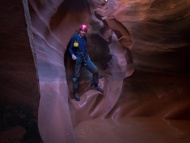
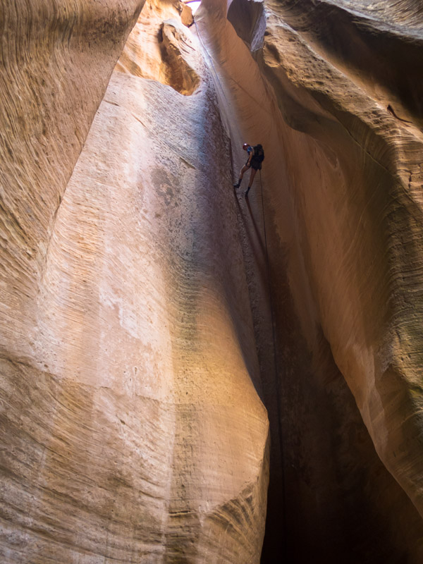
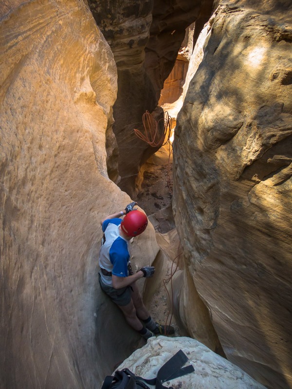
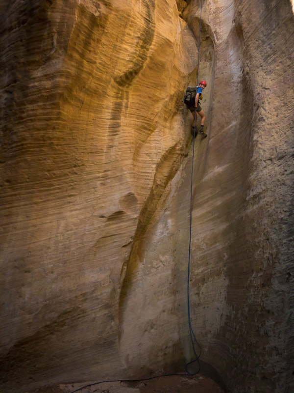
The second set of narrows looked like it would involve a lot of swimming. We stripped off dry clothes and rapped in. The water was icy and there was only a couple of places where I could stand in the 80 yard pool. Without my pack flotation I would have been struggling.

IMG_1558

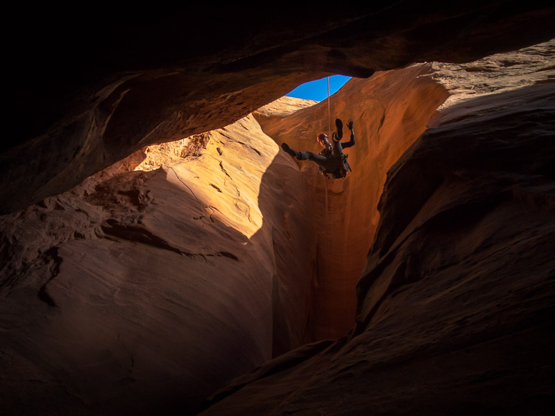
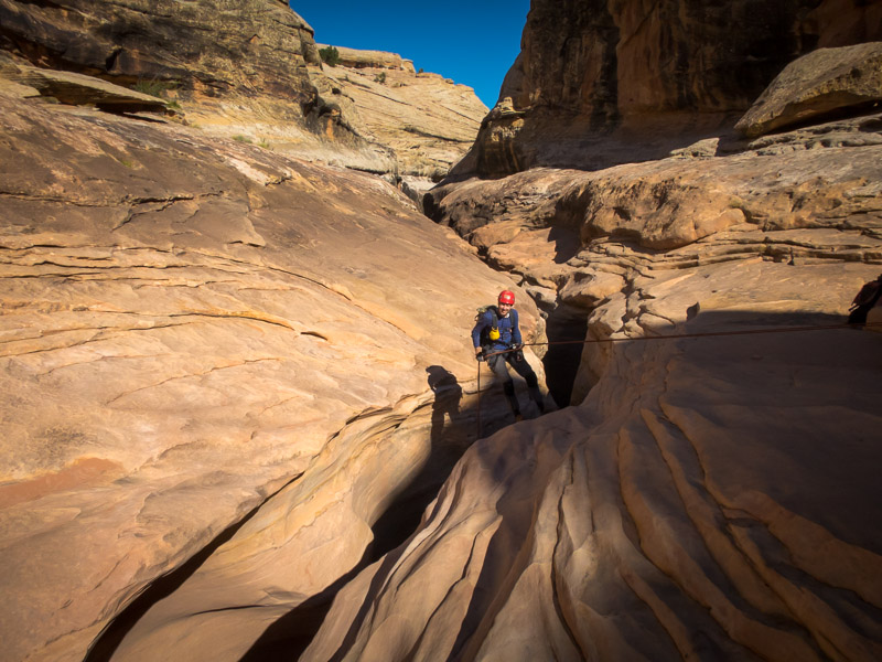
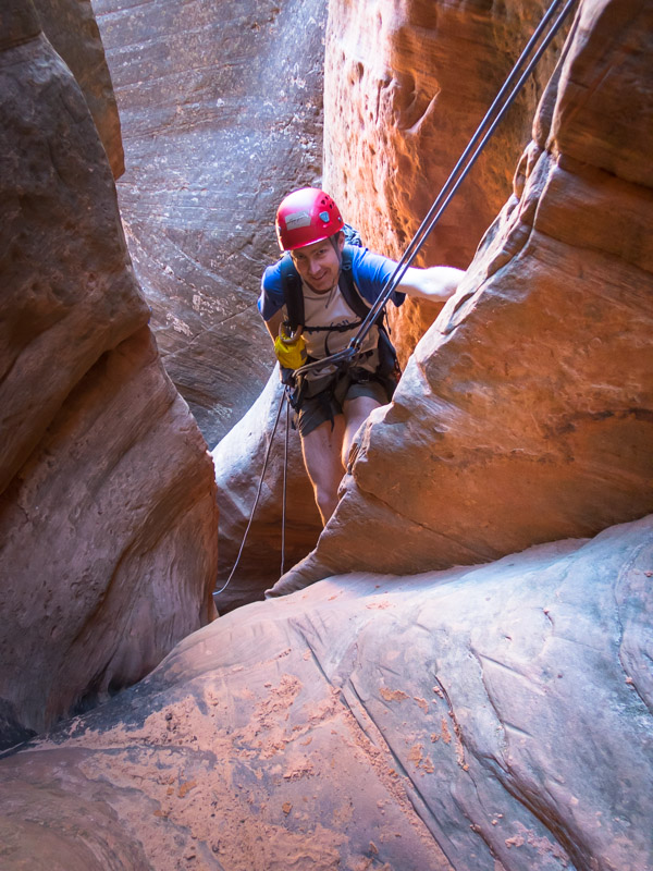
Abseiling into the second narrows in Fry Canyon

IMG_1560

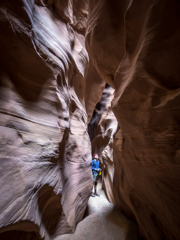
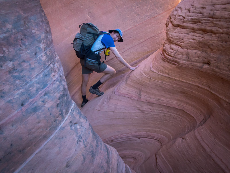
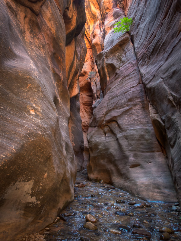
Beautiful… but definitely a swim!!

IMG_1561

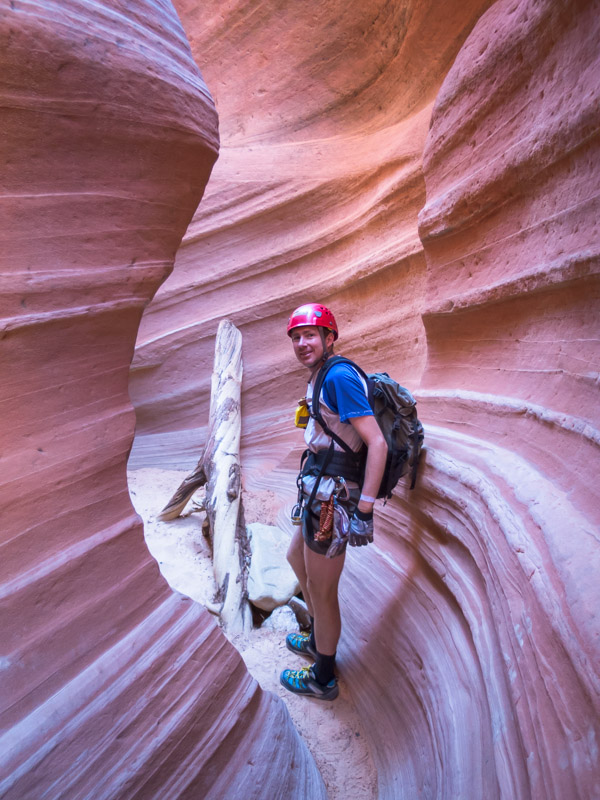
Tom prepping for the swim

IMG_1563

Tom nearing the end of the ~100m swim (with 1 or 2 places where we could stand)

We were fortunate that the sun was streaming down at the end so could quickly warm-up. The narrows were beautiful. I wasn’t keen to find the moki steps that went down to the ruins so Tom had to settle with viewing them from the cliff above. While walking the rim back to the car we saw another group heading down canyon – made up of about 10 or so people, including several scrawny kids. They would have had been chilled to the bone after the swim!

IMG_1570

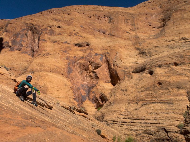
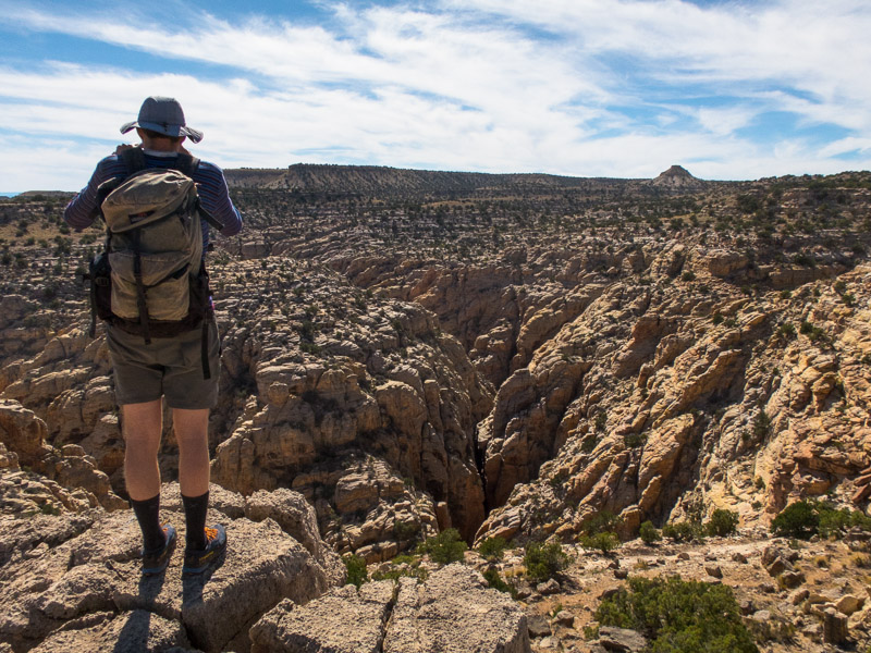
Above the canyon looking at the half-way ledge with ruins on it (in shadow)

We had lunch at the Natural Bridges National Monument and did some of the short walks to visit the bridges.

IMG_1575

Tom with Sipapu Bridge

We didn’t have a plan on where to stay that night – dispersed camping options were few on the ground once we got into Arizona. Tom suggested Goosenecks State Park but after a horrendously windy night there on our last trip I vetoed that one. We ventured down the Moki Dugway again with stunning views in the late afternoon. I wasn’t unhappy once that was done and that was the end of any dirt roads for the trip. Eventually we got to Kayenta and found a motel room. After over a week without a shower it was bliss to be inside out of the elements and clean. We did cook on our gas stove in our room that night though.

IMG_1577

Scenic lookout on our way to Kayenta

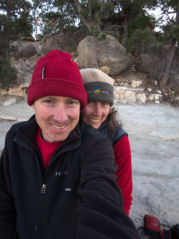
We were into the ‘tourist’ end of the trip. We had a permit for a 3-day/2-night hike into the Grand Canyon but with Tom’s foot still not right we decided not to do it. Instead we had a night camped at Desert View Campground, and a night at Mather Campground on the South Rim. The night at Desert View was one of the coldest of the trip (and that was saying something). We mainly mucked about at the lookouts with the hundreds of other tourists, taking photos on dodgy cliff edges and trying to absorb the enormity of the Grand Canyon.

IMG_1585

Grand Canyon near Desert View

IMG_1591

Grand Canyon

IMG_1610

Grand Canyon

IMG_1621

Watching sunset at the Grand Canyon

IMG_1625

Sunset at the Grand Canyon

IMG_1630

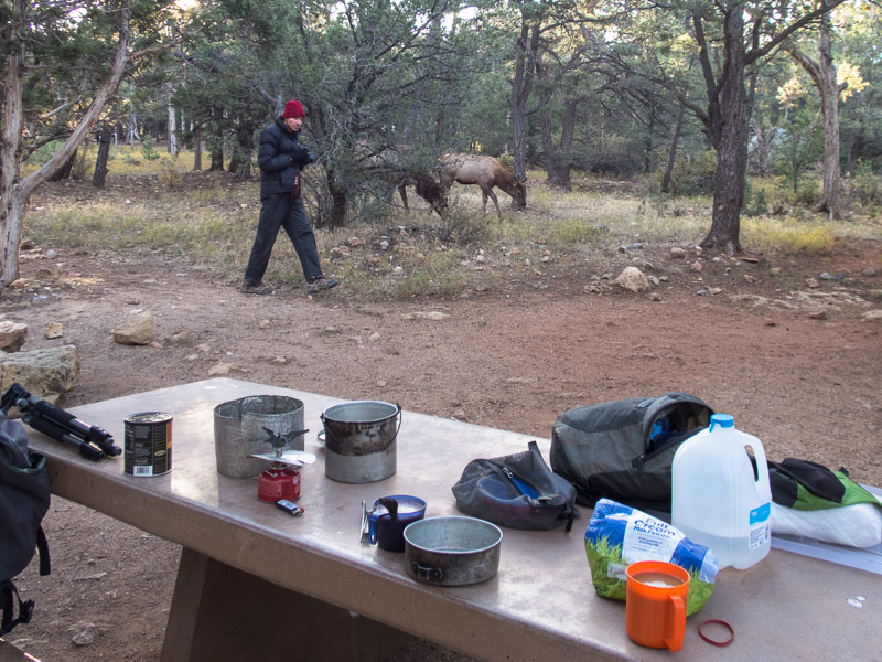
Breakfast visitors at Mather Campground

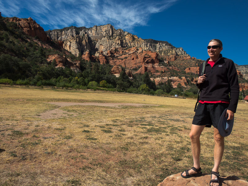
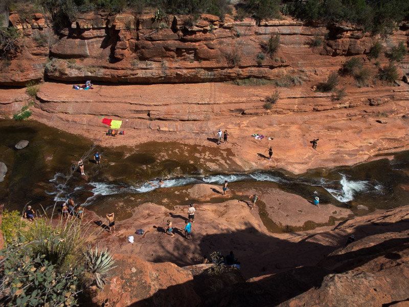
Finally we had two days in Sedona, where it was warm, and I managed to wear a singlet and shorts for the first time. We had lunch at Slide Rock State Park and had a go down the natural slide since we were there. The air temperature may have been warm but the water wasn’t!

IMG_1631

Tom amazed at how warm he is at Slide Rock State Park

IMG_1632

Slide Rock State Park

Tom was keen for some sunset and sunrise photography, and with lots of clouds promising a great sunset on the first night I led him on a dud walk up Doe Mountain. While we enjoyed the views it wasn’t the best photography spot.

IMG_1636

Tom looking disappointedly for a sunset photography spot at the end of Doe Mountain

IMG_1641

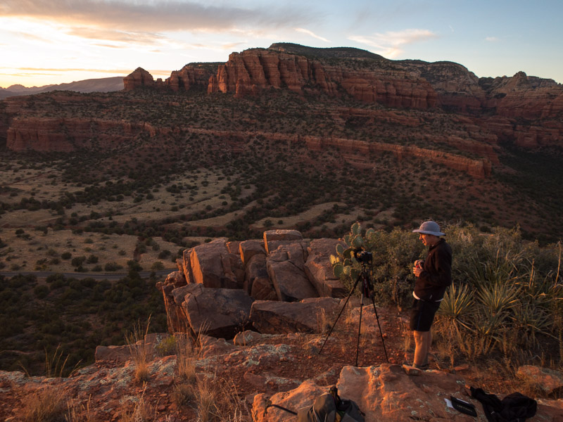
Compromise spot at the other end of Doe Mountain

IMG_1643

It was a stunning sunset!

IMG_1645

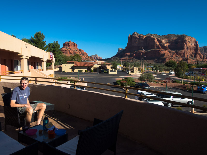
Views for breakfast from our motel in Sedona

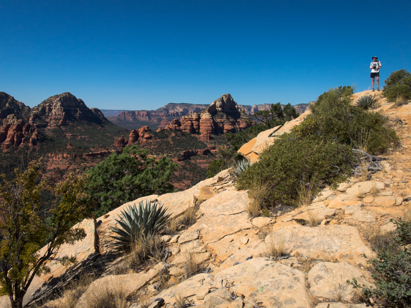
The next day we hiked up to Brin Mesa, and then scrambled onto Brin Ridge for great views over the valley.

IMG_1646

Tom on Brin Ridge

IMG_1651

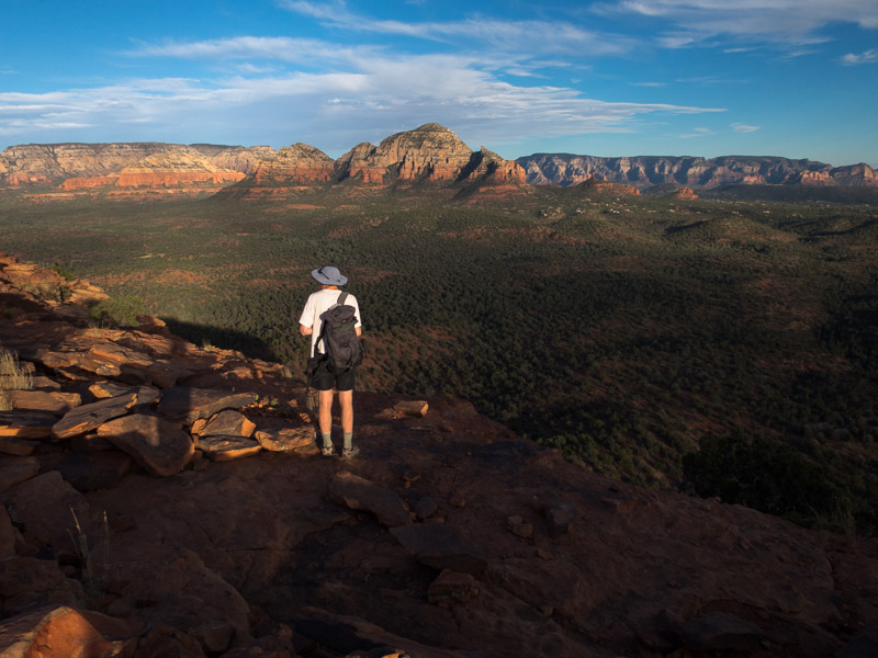
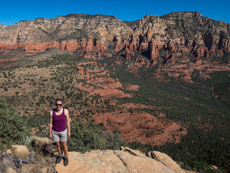
Views from Brin Ridge

Finally we just had a long drive back to Las Vegas to make our flight out. We had a small amount of concern as we were flying via San Francisco, where there had been many flight cancellations over the previous 2 days due to the smoke from the wildfires across Northern California. Fortunately we made our connections and were very glad to get home.

Back to main index

Utah & Arizona (Sep/Oct 2017) – Part 4 – North Wash & Robbers Roost Areas

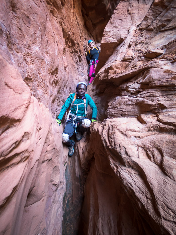
Our impetus to leave Moab was plans to meet Angela in Robbers Roost for a few days. The weather forecast was a bit dodgy but as we didn’t really have a better plan we decided to head into the Roost anyway. Angela had brought along her friend, Sam, who was visiting from Uganda. Sam had done his first canyon the day before, so we decided White Roost (East Fork) was probably a more responsible option than Chambers for his second canyon, though Angela assured us he was a natural at stemming. Plus I’m not sure the car would have made it to the Chambers trailhead.
IMG_1332

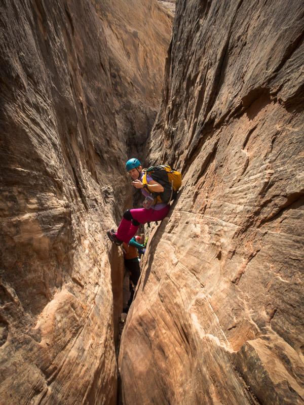
Angela near the start of White Roost

IMG_1334

Getting some stemming in early to avoid the water

True to form on this trip White Roost was wet and muddy – it was Angela’s 3rd time through and the wettest she’d seen it.
IMG_1335

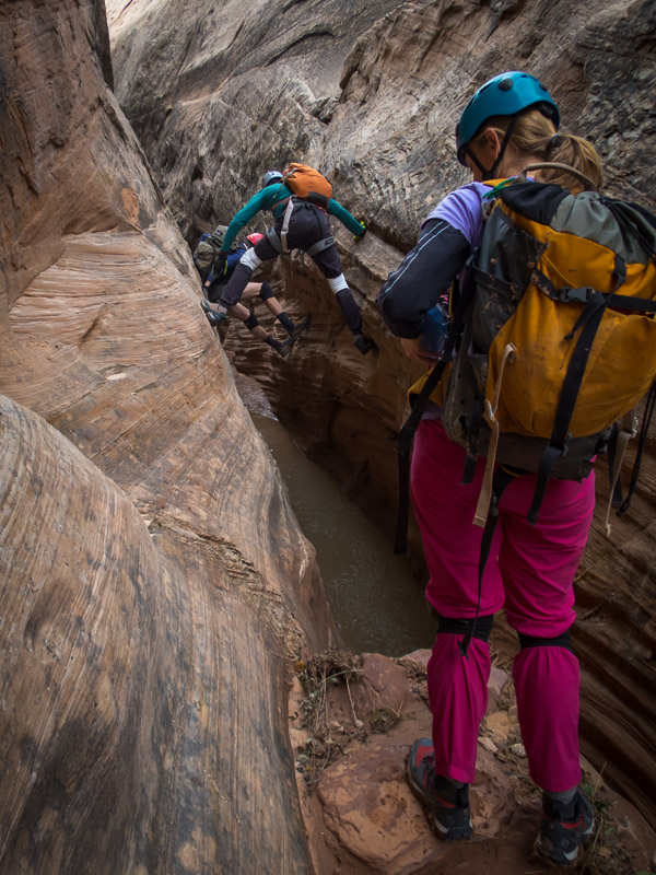
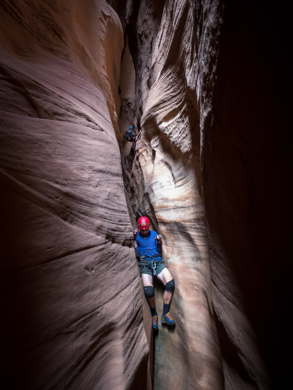
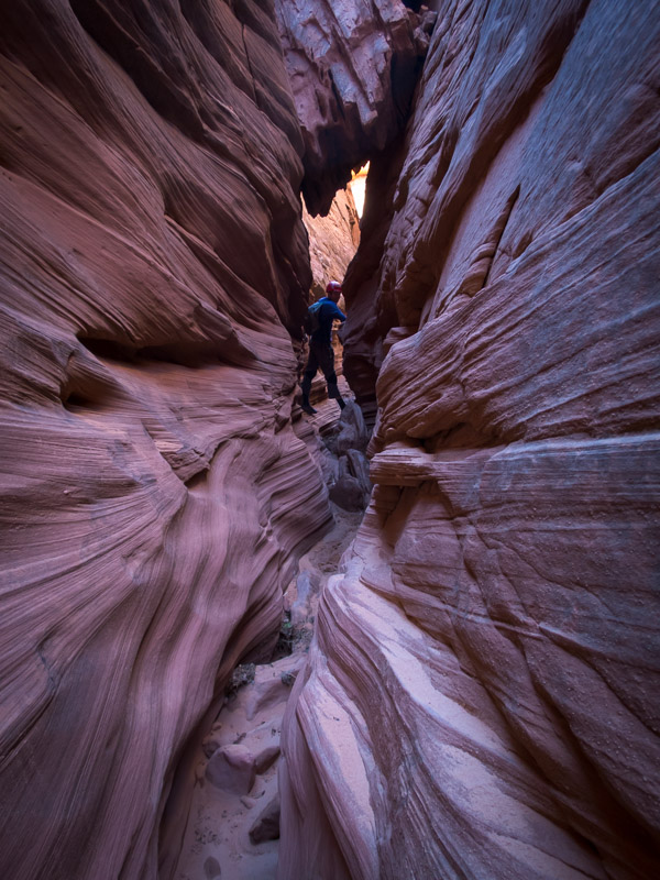
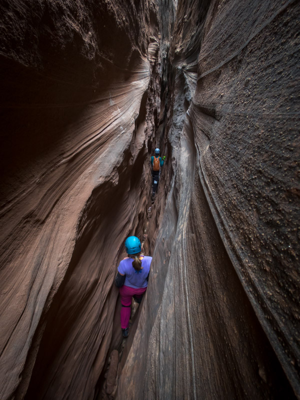
Narrow section of White Roost

IMG_1344

Tom elevatoring with an abseiler in the background
IMG_1347

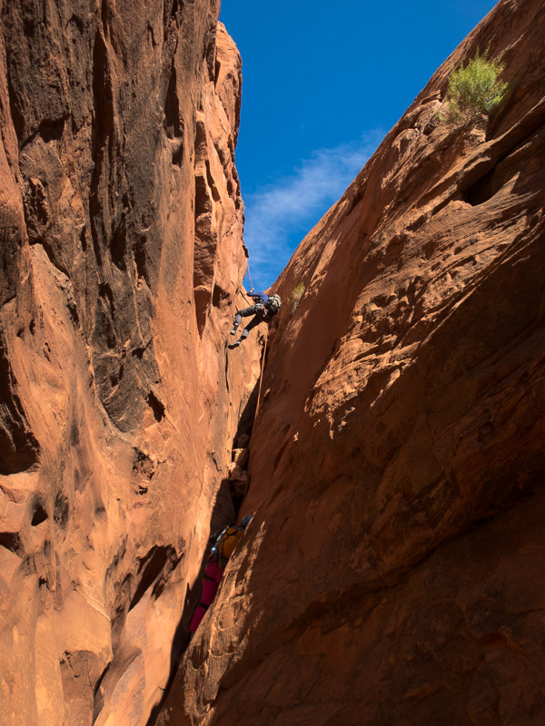
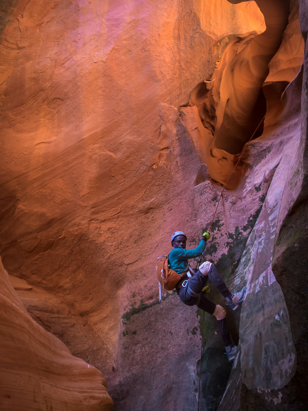
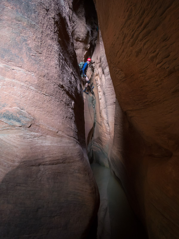
Tom abseiling

IMG_1350

Tom in the pool, Sam about to downclimb, Angela abseiling
IMG_1353

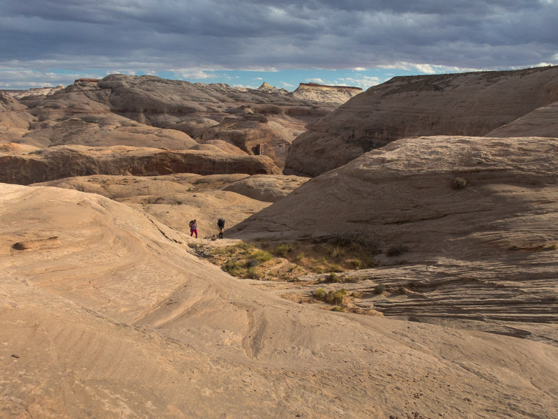
The walk out

We were pretty inefficient on our ropework and so it wasn’t an overly quick trip through. By the time we got out it was windy and cold, and with the forecast, combined with how cold some of the group had been in the wet sections in the canyon we decided the Roost was not the place to be tomorrow. So off we went to North Wash.

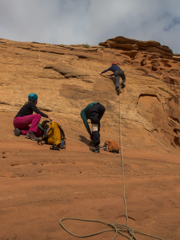
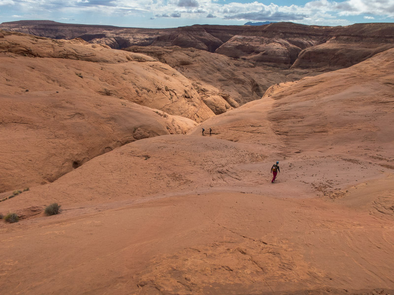
It was far more pleasant at Sandthrax campsite, and we were pleased to accept an invite from Oliver and Lisa to join them round their fire. We woke to rain so we didn’t rush to get up. It was cold enough that Sam decided a fire was an essential part of the morning. Eventually we decided we couldn’t sit round the fire all day and made moves to Hog 2. I was very close to sitting in the car as I was so cold I couldn’t move my hands properly. In the end I was glad I didn’t, the weather improved a bit and of course once we were walking the body warmed up. Tom was keen to have a look at the shortcut route (which required some climbing), fortunately he made easy work of it and soon had a rope down for the rest of us.
IMG_1354

Tom leading up the shortcut ‘exit’ for the Hogs
IMG_1357

Dropping into Hog 2

IMG_1362

Tom on the 17m (not 40m!) abseil

The beta we had said there was a 40m abseil, we’d been dubious at that length in North Wash so had brought a 36m rope and 2 x 20m ropes. We spent a lot of time setting up a releasable anchor with the 36m in case it was actually 40m and I needed to be lowered. In the end the abseil was about 17m total. Glad we had all those ropes!
IMG_1363

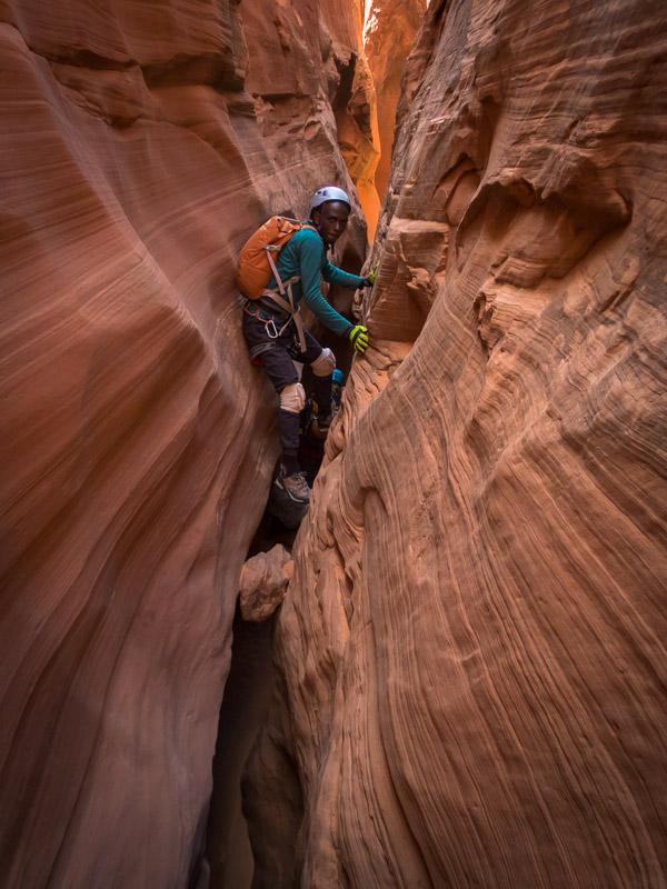
Sam in Hog 2

IMG_1375

Tom abseiling in Hog 2

IMG_1376

Angela and Sam in Hog 2

IMG_1380

More stemming

IMG_1381

The final drop which I probably should’ve tried downclimbing instead of faffing around replacing the anchor and abseiling.
IMG_1388

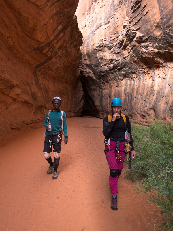
Sam and Angela having been released by the canyon

Hog 2 was a fun canyon and a perfect choice for the weather. Possibly the first canyon of the trip that I didn’t have wet feet by the end of the day.

IMG_1389

Sandthrax campsite

So buoyed by the successful day in Hog 2 there was some talk of heading back to the Roost the next day. But the forecast was for cool temperatures and we expected the canyons in the Roost would be still holding water so elected for another day in North Wash. Fortunately I had downloaded the North Wash section of the Road Trip Ryan app just before we left Moab! Going through all of the beta we soon narrowed down our options (needed to be dry, not require any specialised gear, not need 4×4 access, not be too long…). Eventually we settled on Monkey Business. The car made it through on the road and we were off.
IMG_1394

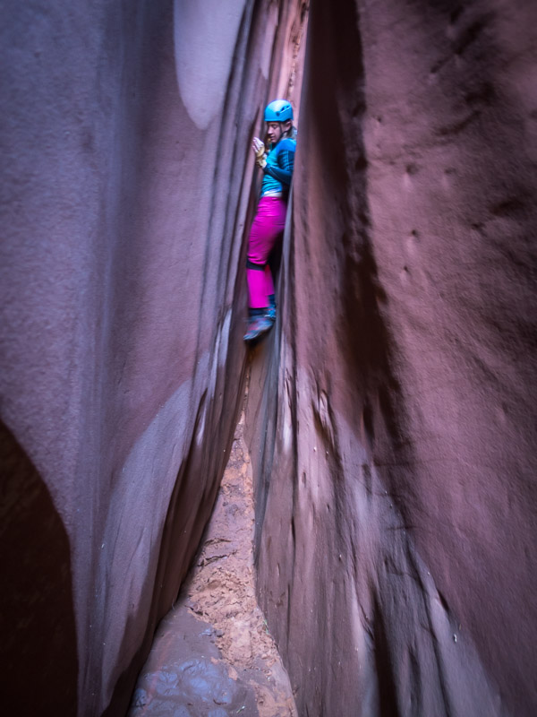
Angela early on in Monkey Business

IMG_1398

Tom in Monkey Business

IMG_1400

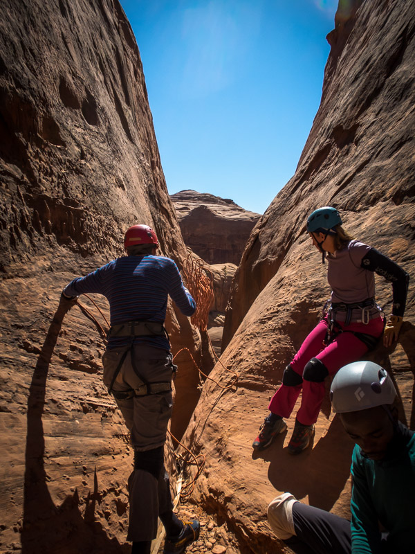
Deploying the rope

IMG_1405

Sam abseiling

IMG_1408

Tom half-way down the two stage rappel

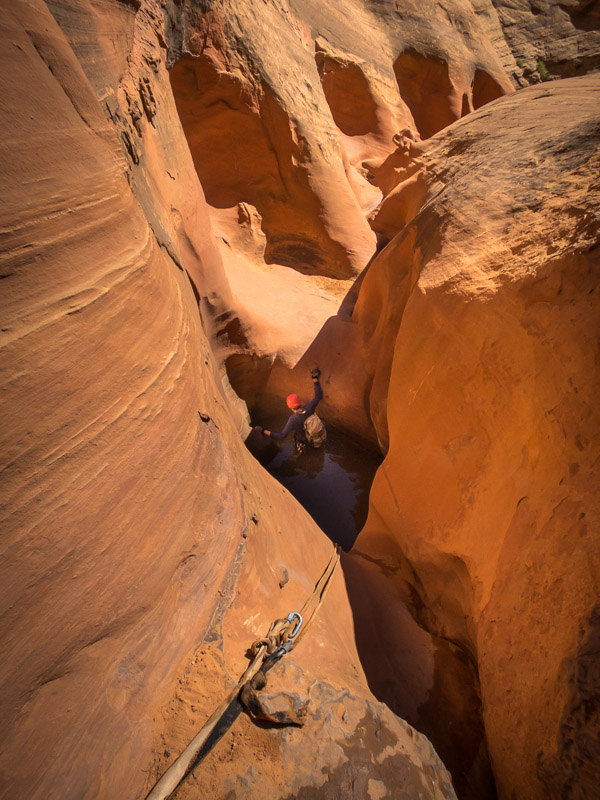
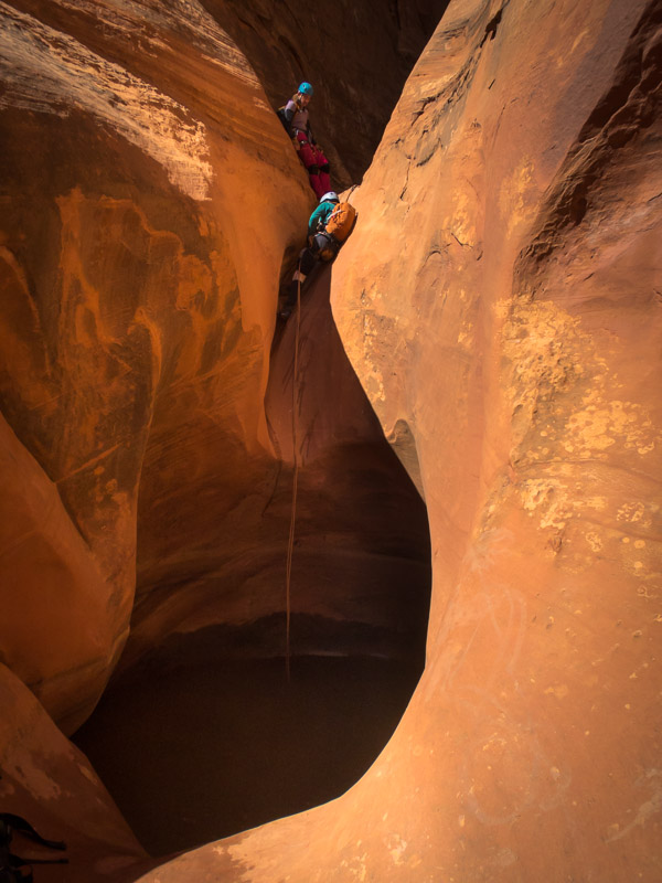
It threw up enough challenges to keep things interesting and fortunately the semi-keeper pothole wasn’t too wet (waist deep?), both Tom and Sam managed to get out unassisted. Angela wasn’t too keen on the natural anchors on the final two drops but there weren’t a lot of other options.
IMG_1414

Tom about to get out of the semi-keeper pothole
IMG_1415

Angela and Sam above the semi-keeper

IMG_1416

Sam above the final abseil

IMG_1418

Tom on the final abseil

Angela also wasn’t that thrilled when she realised the exit was the same one as for Shenanigans which she’d done earlier in the year – we made it up the crumbling gully without any issues and it wasn’t long before we were back at the car.
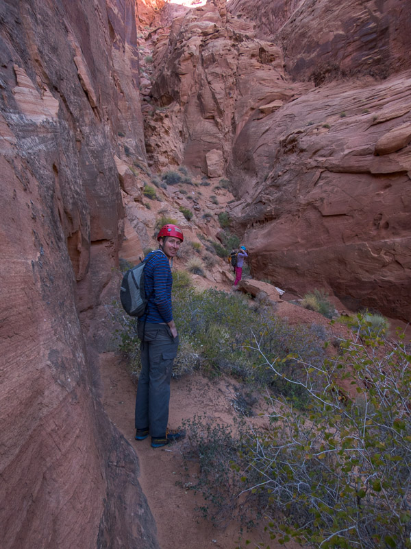
IMG_1421

Helmets going back on in anticipation of the crumbly, chossy rock of the exit gully

Back at Sandthrax we farewelled Angela and Sam, leaving decision-making for the next day with just me & Tom.

We settled on a short canyon, Morocco, in the morning, then heading to Hanksville to try and get a weather forecast and make further decisions. We’d been told by a guide at Hog Springs that Morocco was full (what a surprise) but we decided there wasn’t enough swimming to warrant wetsuits. Things went fine until we got to a drop after the third abseil.
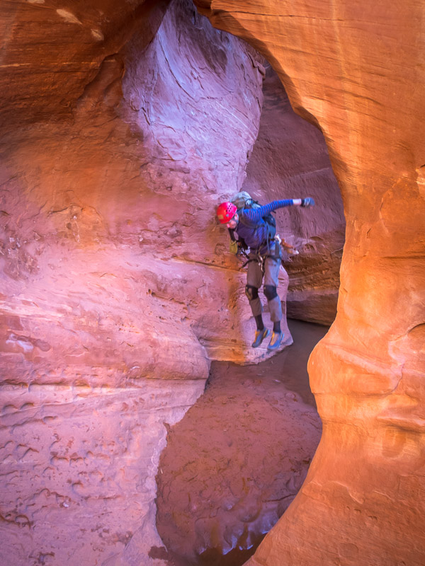
IMG_1427

Tom avoiding the first pool (photo taken through a lovely arch but you probably can’t tell it’s an arch)
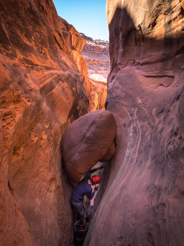
IMG_1428

Tom rigging the second abseil

There wasn’t an obvious anchor and Tom reckoned it was a downclimb down a 6m chute. I was dubious but such is my faith in Tom’s judgement that I agreed to give it a go. It wasn’t long before I concluded it was a bad idea and I was going to go for a very fast slide into a pool of unknown depth. Tom hurriedly anchored the rope to himself and sent me down a line as I precariously wedged myself on the wall. The line came down just as I was losing my position enabling me to slow down my arrival into a chest-deep pool. Convinced that it should have been an abseil I made Tom look about for an anchor he couldn’t see anything. Tom managed to downclimb by bridging over the initial drop and down in a far more exposed line (which I had originally wanted to do but chickened out on). In retrospect it must have been the fourth abseil based on what was to come in the canyon. Fortunately the only injury was my wet clothing!
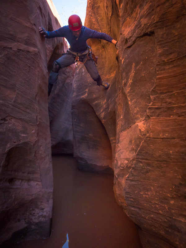
IMG_1432

Tom downclimbing the fourth drop, after I got a faster than expected entry to the pool by trying to downclimb directly down the chute
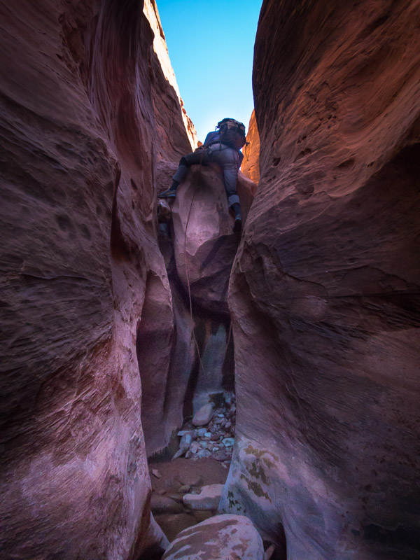
IMG_1435

Tom making things look awkward

IMG_1441

Getting wet

IMG_1442

The final abseil, with deadman/cairn anchor
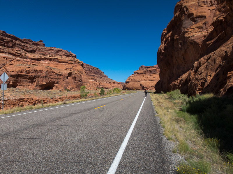
IMG_1445

The very long walk back to the car along the road. Maybe 5 minutes?

Making full use of the wi-fi at Stan’s, while we had yet another shake and fries, we discovered the weather was finally going to settle. Back to the Roost we went. We camped above White Roost where we had a full 360°C view of the horizon. On the Eastern horizon we had the moon rising, and on the Western horizon we had the sun setting. I have never been in a spot on the day of the full moon where there was unobstructed views of both horizons. It was quite spectacular (and not possible to capture well on camera).
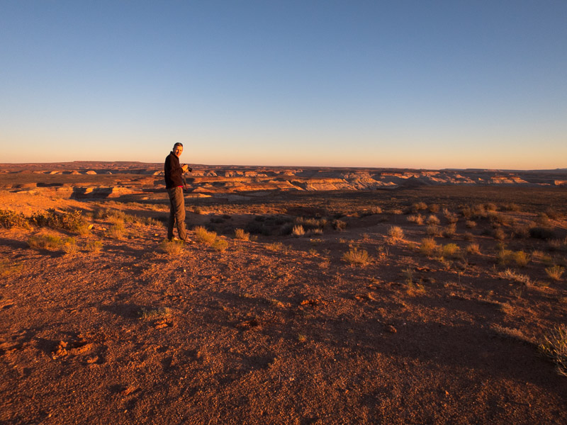
IMG_1448

Camping above White Roost

It was a very exposed spot but fortunately there wasn’t much wind and we had a pleasant night. It finally felt like the trip was going as planned. Tom had re-tweaked his foot injury while we were in Morocco so the North Fork of Robbers Roost seemed like a good, short-ish option for the next day.
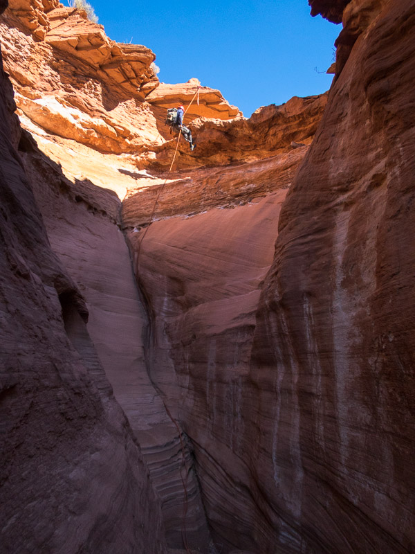
IMG_1455

Tom abseiling into North Fork of Robbers Roost

We enjoyed doing a straight-forward and beautiful canyon – more akin to the Blue Mountains style.
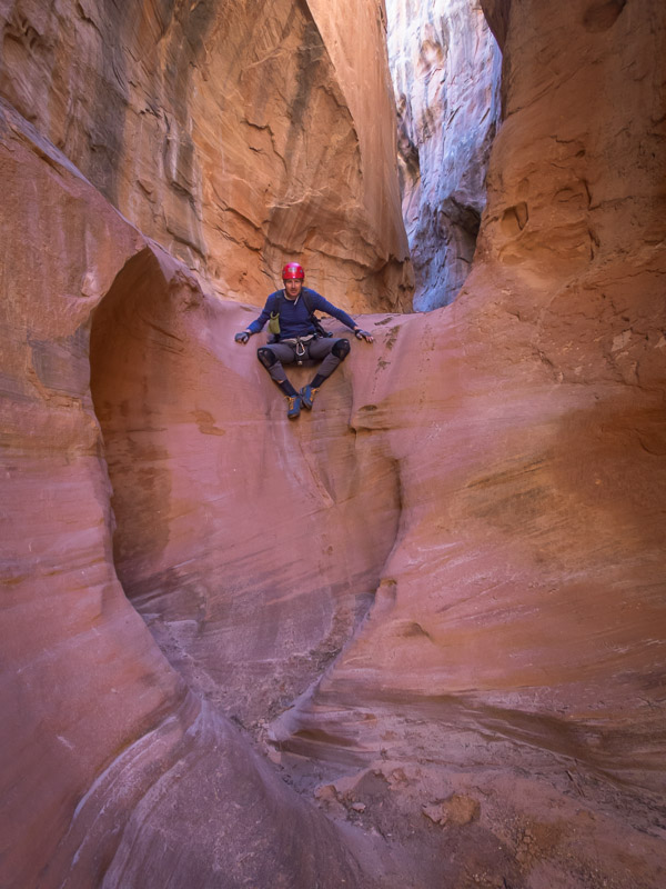
IMG_1460

The yogi is in the canyon

IMG_1463

Tom abseiling

IMG_1468

North Fork of Robbers Roost was beautiful
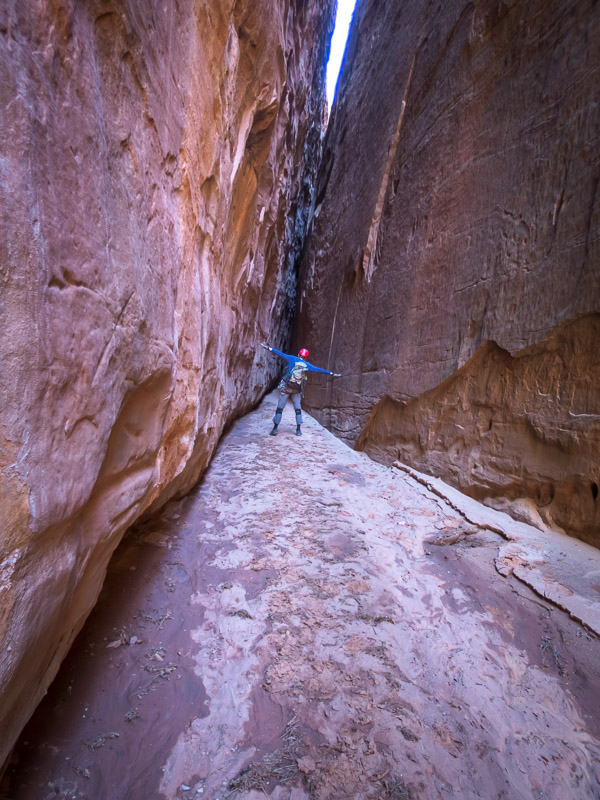
IMG_1470

The section below the final abseil

I got to use a jumar for the first time after we rapped down the third abseil to check out the end of the canyon before ascending and taking the shortcut exit.

IMG_1473

Tom ascending the final abseil to get back to the shortcut exit

From there we headed deeper into the Roost and camped at Motel 6 that night. It was fairly windy but (hopefully) nothing will ever compare to the night we had at the Egypt Trailhead so it didn’t seem too bad!

There were so many options to choose from in the Roost, each with issues. We settled on Not Mindbender for the next day as Tom decided he would be able to make the 5.5 exit climb… We never got to find out as the migrating sand dunes on the road out to the trailhead were definitely migrating and we decided not to risk getting stuck.
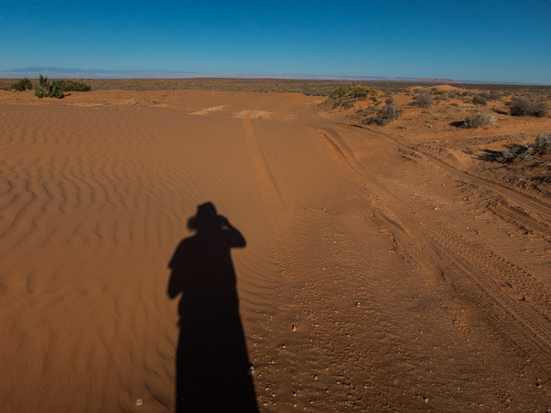
IMG_1478

Migrating sandunes across the road to Not Mindbender

The back up option was Larry Canyon. Since we only had one car that meant a road bash at the end of the day of about 8km – hopefully Tom’s foot survives! We used the Moki steps to get in and soon had our feet wet in a few pools.
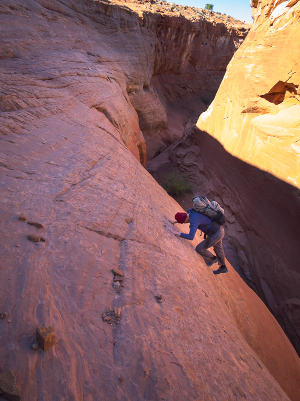
IMG_1481

Tom using the moki steps to get into Larry Canyon
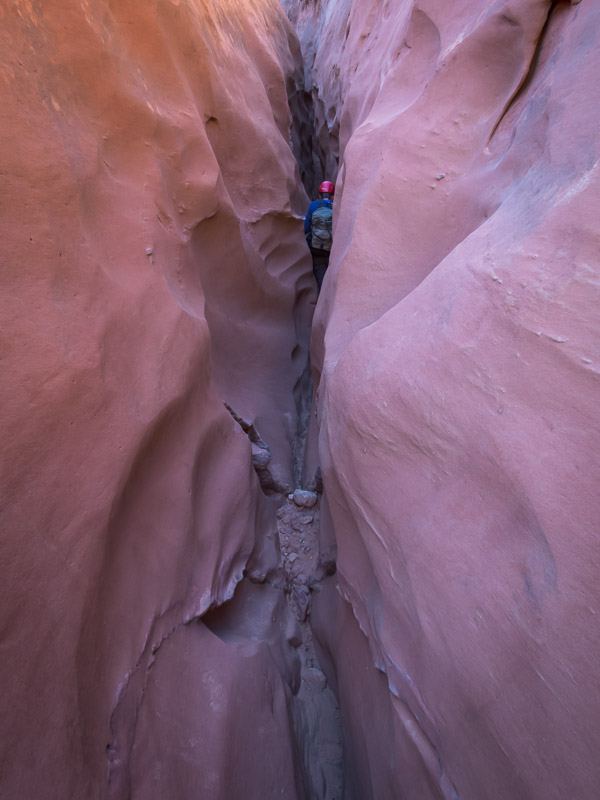
IMG_1483

Beautiful formations at the start of Larry Canyon

Getting to the first rap with a pool at the bottom I stripped off my top layers to avoid getting them wet – unnecessarily as it turned out as we could avoid the water altogether. I don’t think it would be possible for the pool to get more than waist deep as there is an outlet about that height.
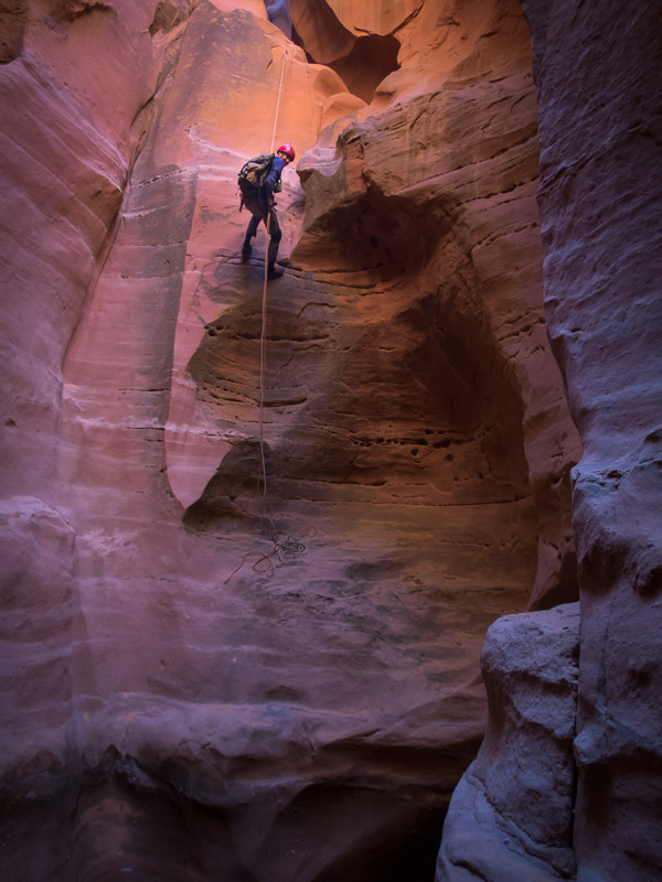
IMG_1494

Tom abseiling towards the pool

IMG_1495

Tom rigging the next abseil. This photo taken from the same spot as the last one – all I had to do was turn around!

Larry was a great canyon, lots of variety, though I think Tom would be happy to skip any more slanted corridors!
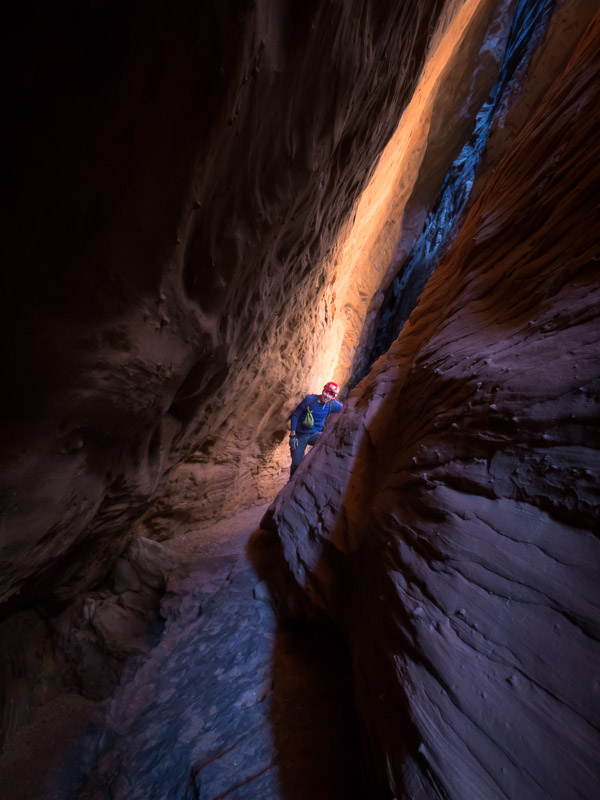
IMG_1508

Tom near the end of the cumbersome slanted corridor
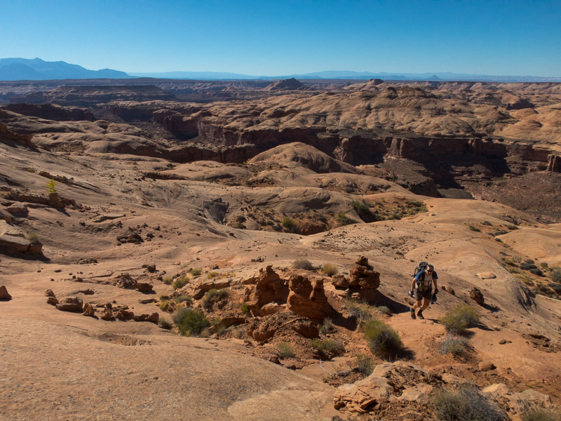
IMG_1513

Making our way up to the road

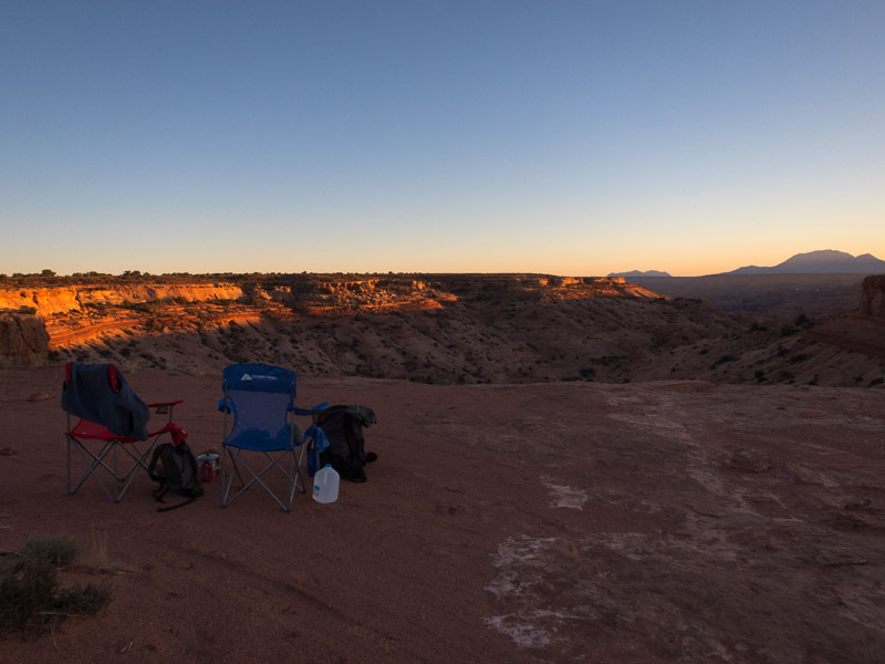
We made it out the exit and started on the road bash, taking some time to check out the views of Alcatraz on our way through. Tom had been talking about camping above Alcatraz that night but the road we were on was quite sandy and I didn’t think the car would make it. Tom tried to convince me that since Rich & Mel had made it out there in their hire car it couldn’t be that bad. We kept walking and it kept getting sandier and I was mentally wondering at the abuse which their hire car must have taken. Eventually I said ‘this road doesn’t get much use’…. At about the same time that Tom decided he should check the GPS as there were fewer and fewer tyre tracks. We were on the wrong road! Doh. Not having been on the road before we didn’t realise the road actually went up the wash from Alcatraz. So a bit of cross-country later we were back on a much better road. So good that I agreed we should drive it back to Alcatraz to camp (hoping the bits we’d missed were also in good nick). It was a very pleasant campsite though we did get some company first thing the next morning from an ATV recreationalist. Despite being camped at Alcatraz I wasn’t that keen to do it – I’d had enough of very narrow canyons for the trip.
IMG_1515

Camping above Alcatraz Canyon

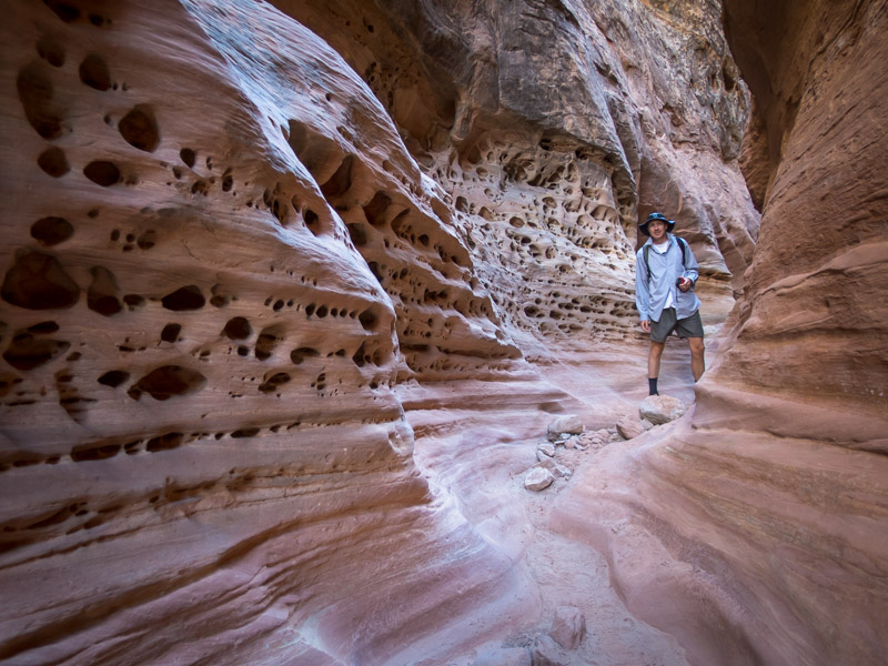
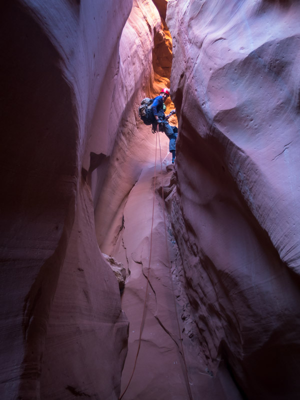
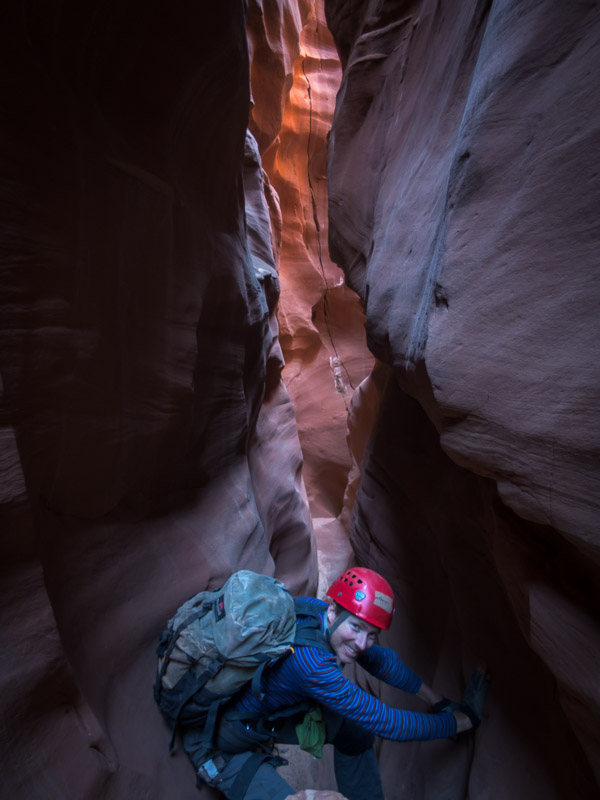
Instead we headed back to the main road and into the Little West Fork of Blue John. It was a beautiful slot, even if it was relatively short.
IMG_1518

Tom abseiling in the Little West Fork of Blue John
IMG_1521

Little West Fork of Blue John

IMG_1522

Mmmm…

IMG_1523

Tom about to set the second abseil

IMG_1527

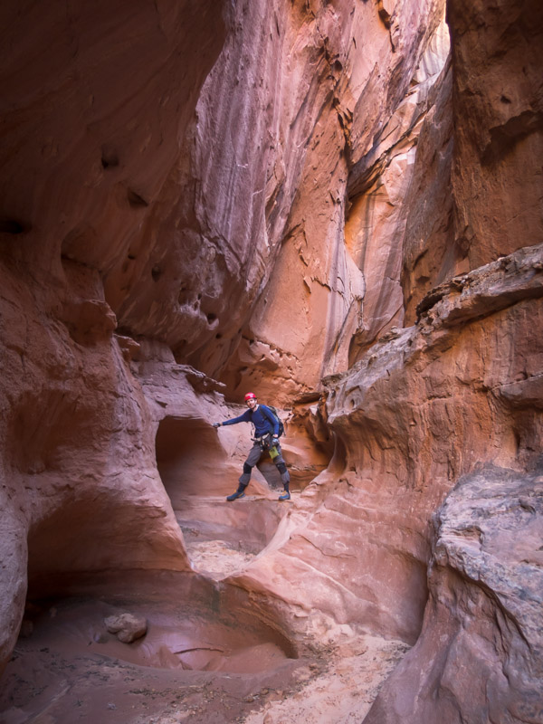
Spectacular canyon after the technical section

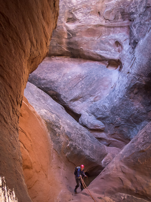
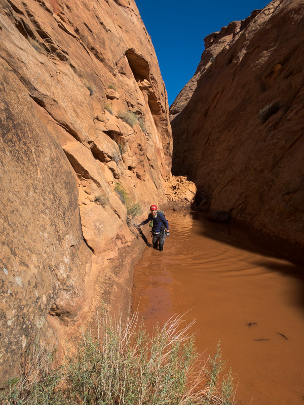
Then we headed up the Main Fork of Blue John hoping our up climbing skills were up to scratch. We were less than thrilled when we hit a little lake caused by a rockfall damning the canyon, that gave us a thigh deep wade and muddy shoes. Futile attempts were made to get the mud off our shoes for the climbing only to find we kept hitting more mud the higher up the canyon we got.
IMG_1529

A small lake in the Main Fork of Blue John

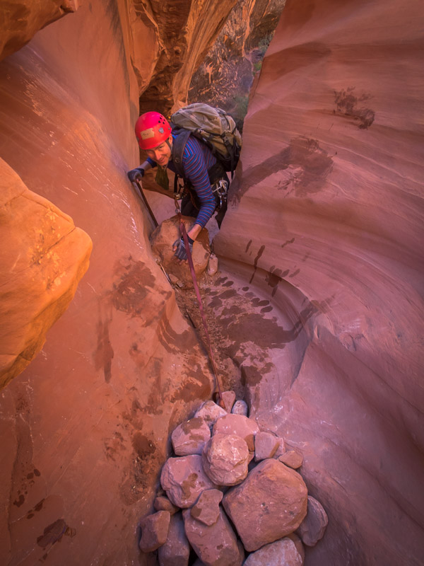
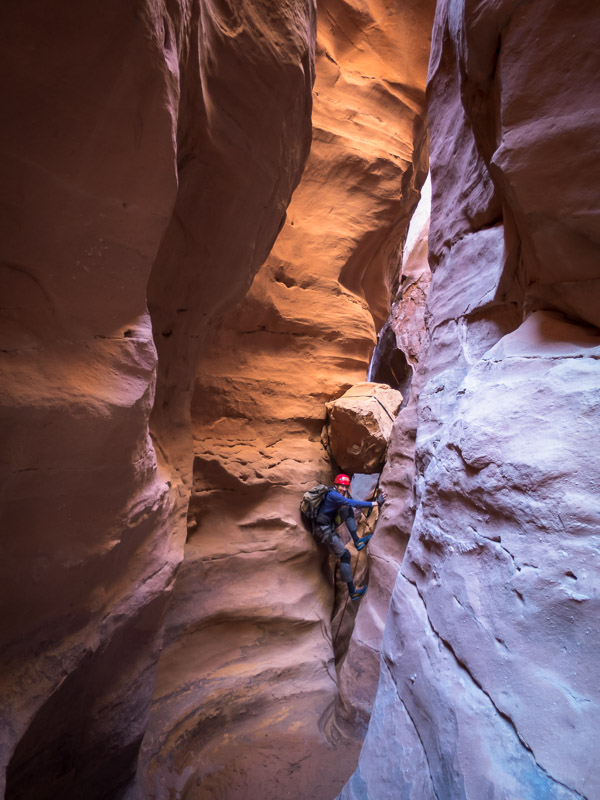
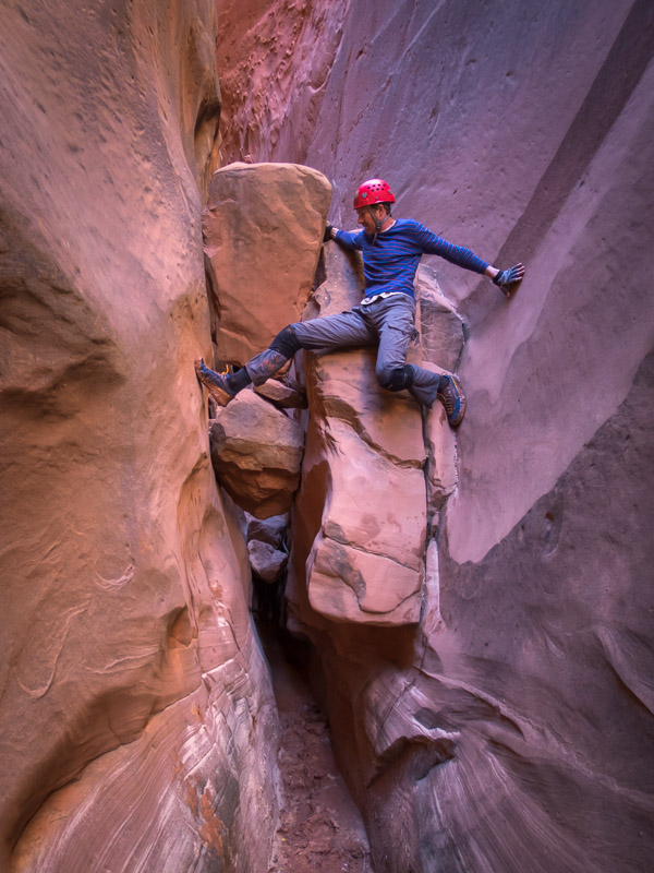
It was a stunning canyon and amazing to walk through. When we finally got to the climbs they were quite challenging as the slots were awkwardly narrow – easier for a smaller person like me to get up then for Tom (who also had a bigger pack).
IMG_1538

Tom making things look awkward. No idea if it was as tricky as he made it look – I went under the boulders!

A little concerned when we heard voices coming from above as it would be difficult to cross-over in the narrow sections. Fortunately the dad & son were not in any hurry and let us get up before they came down. As we were working so hard on the climbing there weren’t many photos taken.

IMG_1539

Tom having a rest part-way through the upclimbs
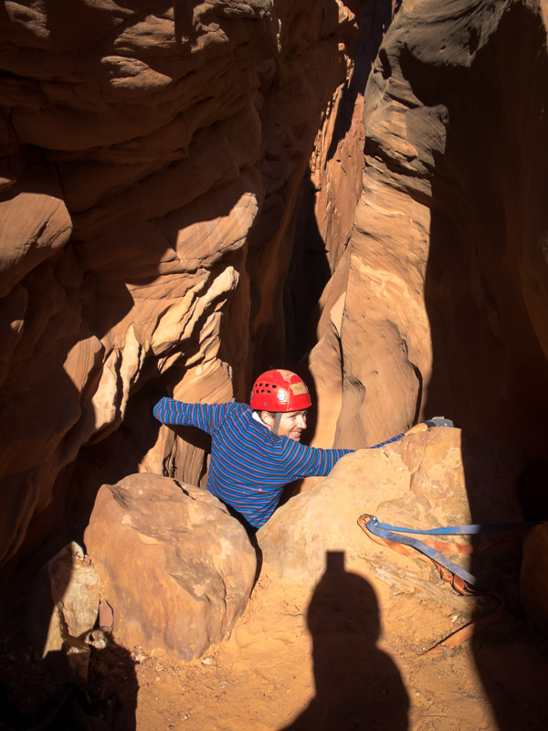
IMG_1543

The final climb at the very top of the Main Fork of Blue John

We had to laugh when both the dad & son and the group of 5 dudes, who turned up as we were getting out of our protective clothing, both asked us if they were in the Main Fork. Nothing like having confidence in your navigational ability… The 5 dudes had some paracord for pack passing and 2 radios, I don’t think they had anything else resembling technical gear. I hope they made it through alright as they weren’t inspiring confidence from the top! We were pleased to have made it to the top as it was quite a lot of effort – but very satisfying once done.

IMG_1544

The guys who turned up just as we’d finished….

And then it was time to leave the Roost.

Part 5 – Cedar Mesa, Grand Canyon  & Sedona

Back to main index
Utah & Arizona (Sep/Oct 2017) – Part 3 – San Rafael Swell & Moab areas

The next day it was time to move on from Escalante heading for the San Rafael Swell. We had a mandatory stop at Stan’s Burger Shak for a shake and fries in Hanksville before heading to the Little Wild Horse trailhead. We’d skipped this hike last trip in favour of Ding & Dang canyons but apparently it is the most popular hike in the San Rafael Swell so figured we should do it. We went up Bell Canyon first and then looped back down Little Wild Horse Canyon. Bell Canyon was underwhelming and unless you’re looking for a longer hike I would just walk up and back down Little Wild Horse. Like many of the canyons we’d done Little Wild Horse was holding water (and of course mud). We had been warned by other walkers that there was a section where it was impossible to stay dry and that we would get thigh-deep wet.

IMG_1208

Tom in Little Wild Horse Canyon

So every section of water we got to (and got over without getting wet) we wondered if we’d passed the ‘impossible section’.

IMG_1215

Tom avoiding water & mud in Little Wild Horse Canyon

Eventually we got to it – a 30m long pool. It looked like it was just narrow enough to be able to be bridged. It was with great satisfaction (and a lot of stretching & contorting) that we both managed to keep out feet dry. We camped near the car park that night in the dry wash which was a pleasant spot.

IMG_1218

Sadly my timing was out and I didn’t get the shot of the woman walking underneath Tom’s legs

IMG_1219

Tom nearing the end of the ‘impossible to avoid getting wet’ pool…

Tom’s foot was still giving him grief so a very long Music Canyon/Muddy Creek loop was scrapped from the plans. Instead we headed to Baptist Draw and Upper Chute Canyons. It was only after we turned onto the access road, having already driven for over an hour on the main road, that we realised we could have cut off 100km of driving by taking the Temple Mount Road directly from where we’d been overnight. A lesson in having a look at the map rather than just following directions on the track notes! Getting to the trailhead took longer than expected as the roads were pretty rocky. The canyon (including walk in and out) only looked like about 4km all up and Tom was having trouble understanding how it would take 4-6 hours. Another super-easy canyon to get into, and it was a good one. We were pleased to be out of the squeezy narrows and enjoyed the ‘narrow enough to walk through without being awkward’ nature of Baptist Draw. The abseil into Upper Chute was beautiful (unfortunately my photo below does not do it justice).

IMG_1235

Tom abseiling into Upper Chute Canyon from Baptist Draw Canyon

We had no idea that Upper Chute was going to be so stunning, or so long! There was plenty of water, and it was icy cold. We were glad it was never more than waist deep as we hadn’t bothered with wetsuits. Despite the beauty we were both glad when the narrows finally relented and there was no more mud or water! It took its toll on us. I went a cropper in the mud and landed heavily on my knee and Tom strained his shoulder as well as falling into a pool while high bridging to avoid the water.

IMG_1236

Upper Chute Canyon

IMG_1239

This was meant to be a video, but technology fail on my part. Taken just before Tom fell in.

IMG_1246

Ascending Upper Chute Canyon. Water was freezing!

IMG_1249

Looking over Upper Chute Canyon. Easy navigation – “aim for the teepee-shaped hill” said the track notes

Camping at the trailhead would have been lovely but the forecast was for potential rain the next day and with the dodgy roads we decided it was better to get back to the main dirt road that afternoon. We camped in the vicinity of Family Butte and went for a scurry up a nearby hill to get a better view as sadly the ridge blocked a direct view from our campsite.

IMG_1252

Campsite (sort of) below Family Butte

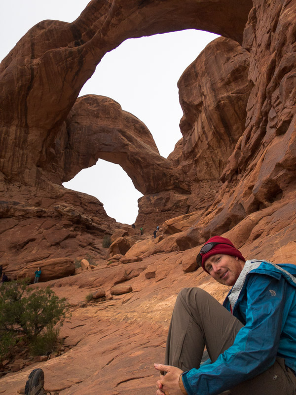
The next morning the weather was definitely turning and we felt good about our decision to get out early. We had intended on spending another day in the Swell but with fairly mediocre options on the table and the weather looking unpleasant we decided to head to Moab early and get a motel room. It rained for most of our drive to Moab but cleared just as we got to Arches National Park. After 25 minutes queuing to get in we joined the masses who were avoiding the weather in the visitors centre. After securing a hiking permit for the Fiery Furnace the next day we went on a tourist drive of the park. We visited the Windows Section, having lunch under the double arch.

IMG_1263

Getting our tourist grove on at Double Arch, Arches NP

I’d randomly found the motel on google that morning and when we arrived we were amused to find it was the same place we’d stayed in 2013 when we were driven indoors by a blizzard.

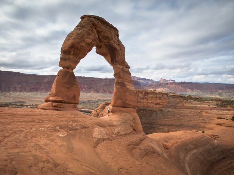
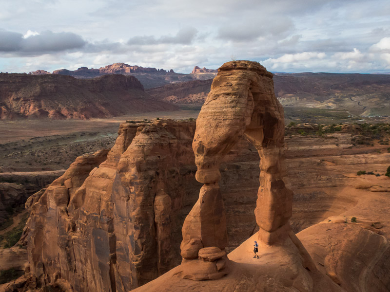
The next day we returned to Arches, without the queue this time, and headed to Delicate Arch. Apparently the most famous arch in the world this was an excellent hike and highly recommended if you are in the park, despite the hoards.

IMG_1270

Tom under Delicate Arch, Arches NP

IMG_1275

Tom under Delicate Arch, Arches NP

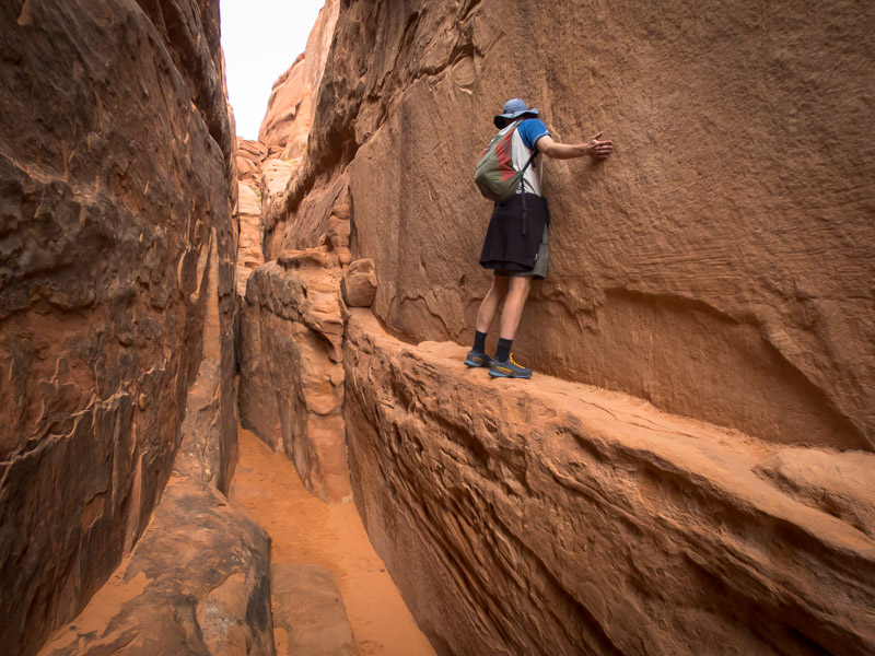
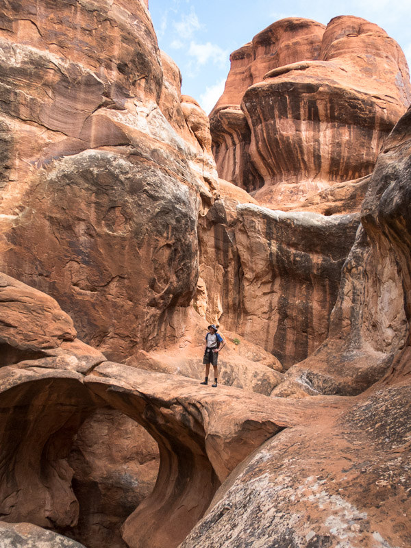
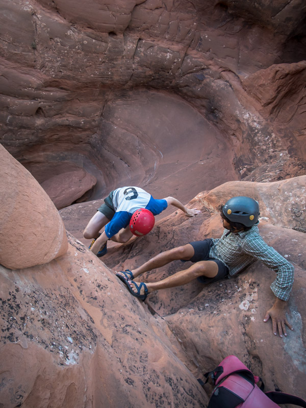
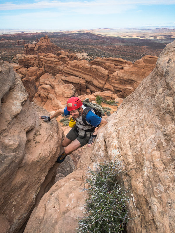
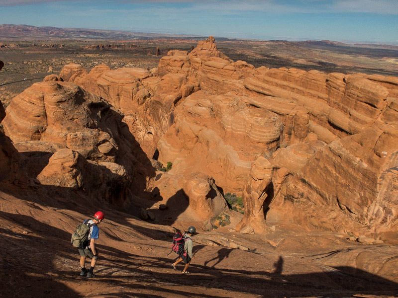
Next we headed into the Fiery Furnace. The Fiery Furnace experience is meant (as I understood it) to be about not following trails, or other people. Tom and I didn’t see anyone for quite some time as we explored up various ribs with varying degrees of dodgy climbing. After lunch we were quite surprised to round a corner and find about 3 groups looking agitatedly for ‘arrows’. They couldn’t grasp the idea that we weren’t following arrows, and we were a little concerned when they started following us! We quickly left them to their arrow finding to continue our meandering. Admittedly once we’d discovered there was a marked path we did end up following it (backwards) back to the car park. We seemed to have been the only people who hadn’t followed the arrows in – I’m not sure how we were supposed to know they existed or even see them at the start. Of the other groups we encountered their first reaction was “People!” as if they had been stranded in a jungle for several days. I guess it just shows how often we are in wilderness areas where seeing people is a surprise compared to the average tourist.

IMG_1281

Is this Tom’s Alex Honnold moment? [Exploring the Fiery Furnace]

IMG_1287

Exploring the Fiery Furnace, Arches NP

IMG_1288

Looking back out to the Fiery Furnace, Arches NP

We had a pleasant evening with Evan, who we’d met in the Blue Mountains earlier in the year. And then we headed out with him the next morning to do Elephant Butte ‘canyon’. It’s classified as a canyon for the purposes of getting a permit but there’s not much to make it a canyon, more of an hike with some abseiling. The top of Elephant Butte is the highest point of Arches NP with amazing views of the surrounding areas. We were amused to find an entry in the logbook from (presumably) our friends Jarrah & Megan.

IMG_1291

Tom & Evan en route to Elephant Butte, Arches NP

IMG_1301

Tom enjoying the final climb up to the summit of Elephant Butte

IMG_1305

Tom & Evan descending from Elephant Butte

IMG_1307

Tom abseiling from Elephant Butte

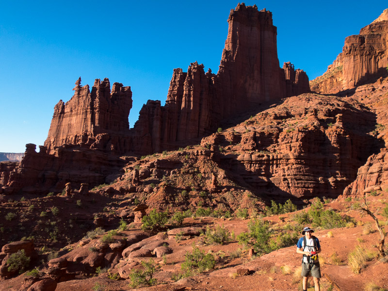
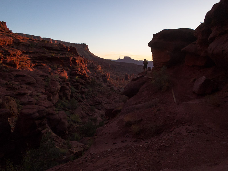
In the afternoon we headed out to Fisher Towers for a sunset hike. There were a number of climbers topping out on the popular climb on Ancient Art as we went past. We had to set a quick pace as we’d left it a little late in the afternoon but made it to the end of the ridge and official end of the hike with good time. Unfortunately being out for sunset meant getting back to Moab after 8pm and dinner options were thin on the ground. We had a very disappointing meal at Wendys just because it was over the road from our motel.

IMG_1313

Fisher Towers in the late afternoon. There’s climbers on Ancient Art (the corkscrew formation on the left)… not that you’ll be able to see them in the photo

IMG_1316

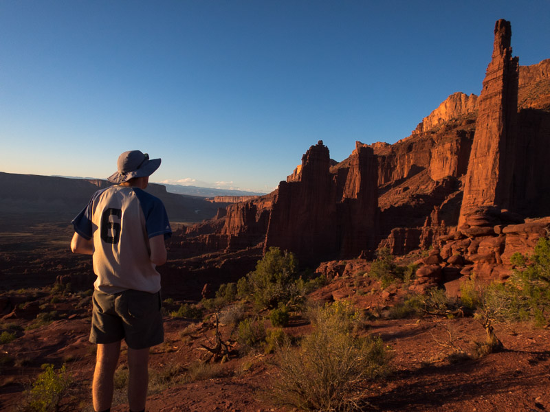
Fisher Towers at sunset

IMG_1322

Views from Fisher Towers at sunset

We figured we needed to actually do some canyons while we were in Moab so lined up a Big Horn / Dragonfly loop as the objective for the next day. We set off from the car with the sky looking a little threatening but the forecast had been for a slight possibility of rain in the afternoon so we figured we could knock off Big Horn and bail on Dragonfly if needed. We got to the tunnel below Big Horn as the grey clouds started crackling lightning.

IMG_1328

The Tunnel near Big Horn Canyon, Arches NP

IMG_1325

Approaching storm put paid to plans to do Big Horn Canyon

Heading up onto the ridge wasn’t an option with the amount of electrical activity going on – so do we sit it out or head back to the car? We decided on the car, getting soaked in the process – though the weather didn’t bother a lone hiker we met who was keen for a long chat while we were standing in the open with lightning directly overhead. By the time we got back to the car Courthouse Wash was flowing fairly healthily a good illustration to us of how quickly water runs off the slick rock here.

IMG_1330

Run off in a minor wash after the storm

We hung around at the car parks watching waterfalls form off the rocks before heading back into Moab for lunch. The road into Moab was flooded in a couple of places – many 4x4s just speeding through splashing murky red water over anything in their path.

Part 4 – Robbers Roost & North Wash – coming soon

Back to main index
Utah & Arizona (Sep/Oct 2017) – Part 2 – Escalante area

The man at the Grand Staircase Escalante National Monument (GSENM) was very helpful and it was great to speak with someone who seemed to have direct experience with the sort of things we were planning. It was after midday by the time we turned on to Hole in the Rock Road and so a short hike to Zebra and Tunnel Canyons seemed to fit the bill. While eating lunch at the trailhead a number of other hikers returned, advising that the canyon was flooded. Trying to discern what that meant we spoke to a number of groups, the last 2 guys saying that there was swimming and it was freezing and no way through etc. Since we had wetsuits in the car we figured we may as well take them if it was truly that wet. I’m not sure if we were the first people to wear wetsuits in Zebra but we did look slightly ridiculous compared to the many other groups just stripping off and sucking up the cold water temperatures. In the end they were unnecessary, other than for saving our skin on the up climbs (the water was cold, and there was swimming, but the length of the swim was not that long).

IMG_1116

Tom above one of the drops we climbed up in Zebra Canyon

We managed to make it up 2 or 3 obstacles before turning around at a 3m climb which Tom was sure he could have got up… but maybe not back down that safely.

IMG_1117

The climb we didn’t go up

IMG_1122

Tom in Zebra Canyon

IMG_1123

More lounging around in Zebra Canyon

IMG_1125

Too much excitement for one day!

We then headed around the corner to Tunnel Canyon, which was also full of water, but we didn’t bother putting the wetsuits back on for that.

IMG_1129

Tom avoiding the water in Tunnel Canyon

We camped at the head of Egypt 1 canyon that night and marvelled at the first ‘downclimb’ which was pretty daunting.

IMG_1132

Camp at the head of Egypt 1

Egypt 1 wasn’t on our hitlist, the next day we headed for Egypt 3. It was full of mud, and a lot of squeezing, with the non-technical section never particularly deep. I wouldn’t be rushing back to it.

IMG_1138

Tom with some particularly painful rock to squeeze through in Egypt 3

IMG_1142

Narrow section in Egypt 3

IMG_1143

I think this is what they call Type 2 Fun.

The optional technical section had a semi-keeper pothole which Mel & Rich had told us about. When we got to it there was a lot of water. I gamely dropped into the pothole only to find it was neck deep! And right next to where we needed to climb out I couldn’t touch the bottom. That wasn’t part of the plan! Tom had a go next, and also couldn’t touch the bottom where we needed to climb out, but could a metre to the right. After a couple of attempts I managed to launch myself from standing on his cupped hands across to the lip and haul myself out. I anchored a rope for Tom to climb out on. The second pothole was also wet and muddy and probably not something one person could have got out from. It was satisfying to get through the technical section after being somewhat frustrated by the mud & squeezing in the non-technical section.

IMG_1144

Tom checking out the way out of the first pothole. A metre to his left he couldn’t touch the bottom.

IMG_1149

Tom in Egypt 3

Walking out it was windy and so we were keen to find a sheltered camping spot. Not far from the end of the Egypt Road we tucked ourselves in amongst some bushes. The wind just got worse so we ended up sitting in the car for the remainder of the afternoon and the evening. There was a brief period where we struggled to cook dinner outside before returning to the car to eat. Needless to say I didn’t sleep very well as the wind kept up all night. Just before dawn it finally settled.

We had various options for the day, one of which was to do Neon Canyon as a day trip (originally we were planning to camp a night on the Escalante River). Initially when the alarm went off I said I didn’t want to go following such an awful night. But after 20 minutes of contemplating I changed my mind and so soon we were eating breakfast and packing gear for the day. It was not long after 8am when we left the Egypt Trailhead. Buoyed (?!) by conversations with other groups that had camped out that it had been a horrendous night with the unseasonable wind for them too. We were a bit scared by the track notes and warnings of a long day which had the pleasant effect of making Tom faff less. However, we managed to do the technical section of the canyon in just under 2 hours (compared to 7h that a group we spoke to on the way in had taken!?). I was very pleased Tom had convinced me we should drop in at the North Fork rather than the earlier entry options on Tom Jones’ track notes. For the first time in the trip we had lunch at lunchtime rather than mid-afternoon.

IMG_1157

Near the start of the hike. Neon is in the slot in front of the dome.

IMG_1158

Entering the bottom of Neon Canyon from the Escalante River

IMG_1162

Tom in Neon Canyon

IMG_1167

A less common feature to get through a canyon

IMG_1169v2

Tom abseiling into the Golden Cathedral

IMG_1171

Tom pulling our rope having abseiled into the Golden Cathedral

We had a leisurely lunch at the Golden Cathedral, including watching a solo canyoner rap down, before the long slog back to the car. All up 8.5 hour round trip. (including 1.5 hr lunch?)

I was worried about getting back out on the Egypt Road and so wanted to get out that evening rather than camp at the scenic trailhead. So off we went, planning to camp somewhere in the vicinity of Spooky/Peek-a-boo Canyons. Using the Kelsey guide we headed off on the Early Weed Road looking for a nearby campsite. Quickly we came to a sandy wash which Tom sped across only to find we couldn’t get out of it. At this point we discovered we had a rear-wheel drive car. A group of 3 women noticed our problem and stopped to help. After letting the tyres down a lot and with pushing we managed to get back onto the road. The car had inbuilt tyre pressure monitoring, and apparently the front left tyre was now at 17psi (instead of 36, the others were in the mid-20s). I was not happy to keep driving round on that and insisted we headed into Escalante to pump the tyres up. So 42km later we were in Escalante as the sun had set, on a Friday night, with no accommodation organised. After driving past numerous motels with ‘no vacancy’ signs we managed to get a tent site at an RV Park. The hot shower was greatly appreciated, as well as the USB charging points at the site, and the lack of wind to keep us awake all night!

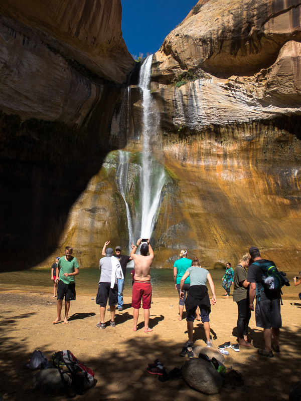
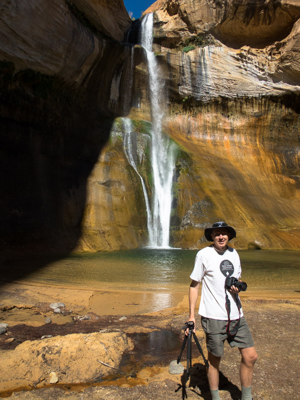
We weren’t going to drive all the way back out to Spooky & Peek-a-boo so we decided to head for Calf Creek Falls instead. Getting there early in the day meant we were able to get one of the first-come, first-serve campsites. The hike to Lower Calf Creek Falls was busy but the falls were spectacular. Yet again we underestimated how long it was going to take and didn’t bring lunch so we had another mid-afternoon lunch when we got back to camp.

IMG_1176

Popular hike to Lower Calf Creek Falls

IMG_1177

But with the right angle you can make it look like you’re the only one there!

Our final day in the GSENM we headed out on the Old Sheffield Road (Spencer Flat Road) to do Upper Red Breaks Canyon. We almost didn’t get there as the car struggled to get up one steep, rutted out hill, but after 3 attempts we were through. Other than that one section the road was good quality. We descended the East Fork of the Upper West Fork of Red Breaks and ascended the Upper West Fork. The East Fork was ok, but the West Fork was stunning. We had to work pretty hard in the last really tight narrows, which were both squeezy and an up-climb. A beautiful canyon.

IMG_1184

Tom in Red Breaks

IMG_1189

Tom downclimbing in Red Breaks

IMG_1196

Red Breaks

IMG_1198

Tom with all the moves in Red Breaks

IMG_1199

Tom in the most strenuous section of the day. Narrow and an up-climb!

That night we camped just off the Old Sheffield Road at a balcony camp with far-reaching views to the East.

IMG_1205

Balcony Camp

Part 3 – San Rafael Swell & Moab – coming soon

Back to main index
Utah & Arizona (Sep/Oct 2017) – Part 1 – Zion area

Having learnt our lesson after 2013 we didn’t plan to go anywhere the day we arrived in the US. It was just a day of buying food supplies, canyoning gear (knee pads!) and sleeping. By good fortune friends of ours from Australia were finishing their trip the day after we arrived so we were able to get water containers, leftover food and various other supplies from them. Following a good nights sleep in a hotel away from the strip and we were ready to head for the canyons!


With a waffle-machine at breakfast, general slowness in getting ready and the time change between Nevada and Utah, it wasn’t particularly early when we rolled into Zion National Park. Deciding two (albeit short) canyons was probably a bit ambitious given it was after 1pm we just picked up a permit for Keyhole Canyon. Our first time through Keyhole, it’s super accessible with the walk in and out being <15 minutes. This was the perfect canyon to do to remind ourselves how to canyon – remembering of course we were coming off the back of winter and our last canyoning had been in April. We were warned that Keyhole was ‘full’ by the wilderness desk and we must wear wetsuits. Not sure where the swims were – Tom got through without getting more than waist deep. From there we headed to Zion Ponderosa Ranch. We couldn’t resist having dinner in the restaurant rather than cooking – beautiful steaks – our last for a while.

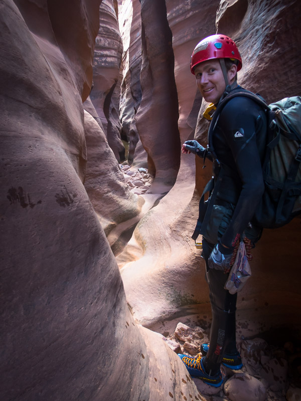
IMG_1027

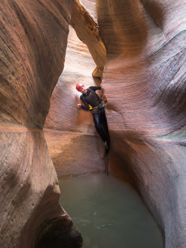
Tom in Keyhole Canyon, Zion NP

IMG_1029

Tom in Keyhole Canyon

IMG_1037

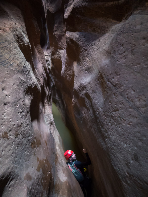
Tom in Keyhole Canyon

IMG_1039

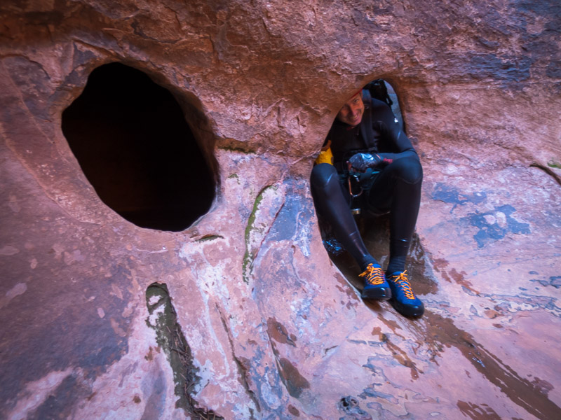
The first of many slanted corridors for the trip

IMG_1041

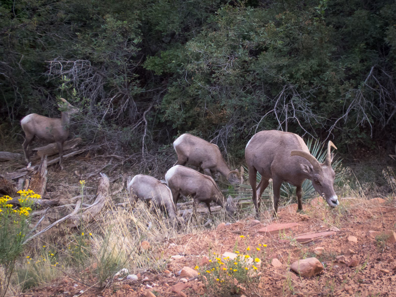
Big Horn Sheep on the side of the road

The next day was one of our longer ones. We drove out to the Chamberlain Ranch Trailhead and started walking down the Virgin River. This is where people doing the Narrows as an overnight trip start. But that wasn’t our goal. We exited up a gully – which our notes did say had a couple of up-climbs. The first one was a bit tougher than we were expecting – but then we hadn’t yet got back into the groove of how grippy the rock is here. Nonetheless we made it up and over into Deadeye Dick canyon.

IMG_1042

Tom on the first, somewhat challenging, upclimb

IMG_1046

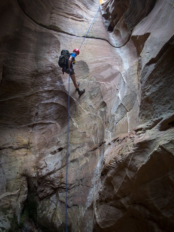
Tom abseiling in Deadeye Dick Canyon

IMG_1051

Tom in Deadeye Dick Canyon

IMG_1056

Tom in Deadeye Dick Canyon

IMG_1058

Nearing the confluence with the Virgin River

Then a late lunch on the Virgin River before a quick run through Mighty Mouse canyon, then back to the car. A very satisfying first day.

IMG_1059

Lunch on the Virgin River, with makeshift chopping board

IMG_1060

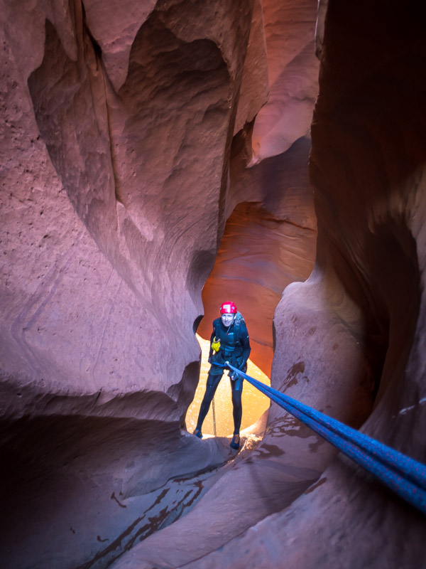
Throwing the rope in Mighty Mouse Canyon

IMG_1064

Tom abseiling in Mighty Mouse Canyon

We had a second night at Zion Ponderosa. We had planned to do Boundary Canyon the next day – which was going to be a long day, as it was a couple of hours drive to the trailhead before even starting what was a reasonable day out. I wasn’t too disappointed when in the early hours of the morning, when we were both awake (jetlag), that Tom said his foot was sore and he wasn’t up for the long day. Getting to sleep in was great but then we needed a new plan. We settled on a short canyon nearby called Diana’s Throne. It was fairly busy, as it is a good beginner canyon outside of the park (so no permit needed). It seems to be popular with the guiding companies as well. After spending a while giving some rope-coiling/management tutelage to a guy we met in the canyon we caught up to a commercial group. The guide mentioned another canyon we could do at the end – this was a great tip and made the day a bit longer. Not sure whether the slot has a name but it was a fun bonus, and despite being the last group (of 4) to leave the cars we were the first back! It also gave us time to do the rounds of the shops in Springdale to buy canyoning shoes (not available in Australia…).

IMG_1070

Tom in Diana’s Throne Canyon

IMG_1078

Tom in Diana’s Throne Canyon

IMG_1082

Tom in Diana’s Throne Canyon

Unlike our 2013 trip where I had booked camping at Watchman Campground more than 6 months in advance this time round we only got 1 night due to a late cancellation. We were in almost the same spot as previously and it was nice to be warm having dropped from 6,500ft (1980m) at Zion Ponderosa to 4,000ft (1220m).

IMG_1087

Camping at Watchman Campground

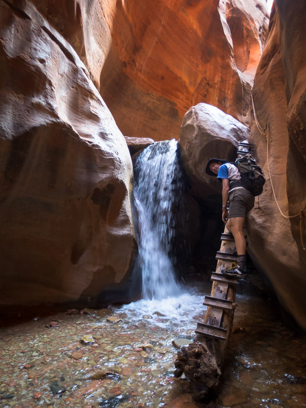
The next day it was time to move on from Zion. Kanarra Creek wasn’t originally on our plan but with Tom’s sore foot short days were going to be necessary and it looked good. I had originally thought we’d be done in 1.5-2 hours so we didn’t take lunch. Turned out we were out for 3 or 4 hours. Kanarra Creek is a slot canyon with 2 ladders installed at the only obstacles in the creek meaning it can be done as a hike. It’s fairly unusual to have flowing water in the canyons around the area and so Tom spent a lot of time with tripod and camera.

IMG_1090

Impressive narrows in Kanarra Creek

IMG_1091

Tom ascending the first ladder

IMG_1099

Picturesque Falls

IMG_1105

The serious photographer on the second ladder!

IMG_1106

More impressive narrows further up Kanarra Creek

We didn’t have a plan on where to camp and ended up in the Cedar Breaks National Monument at the Navajo Lake campground. We decided this was probably the highest altitude either of us had camped at – 9,035 ft (2,754m).

IMG_1112

Tom at Navajo Lake

Part 2 – Escalante

Back to main index
Utah & Arizona (Sep/Oct 2017)

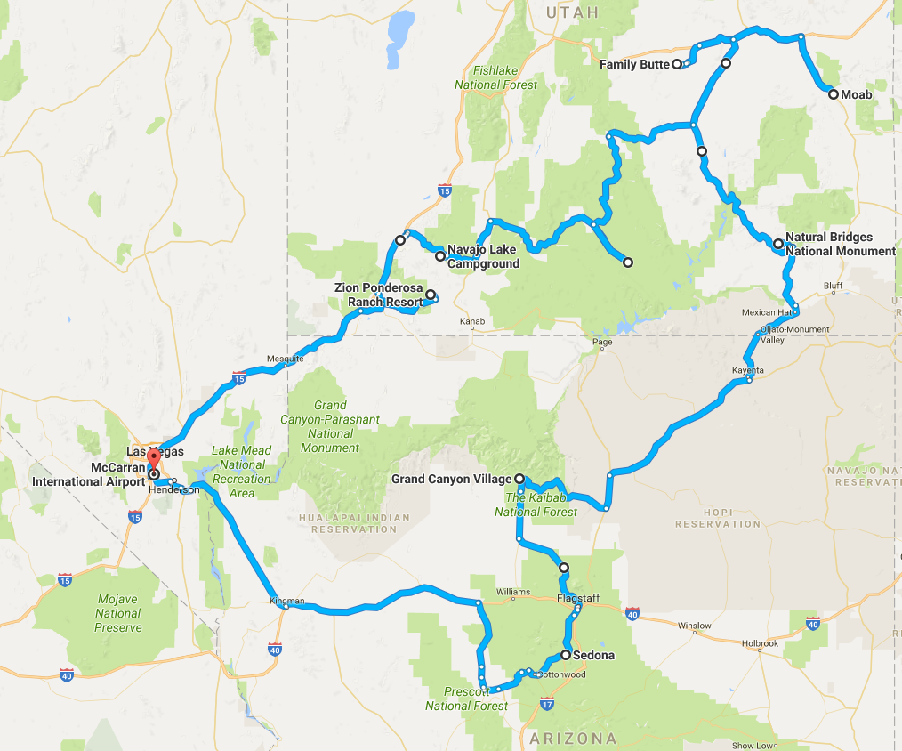
Tom & I spent four weeks in south-western USA primarily Utah. The main activity was canyoning with a few touristy days thrown in here and there.

I have updated the list of things we learnt which might be helpful to any Australians planning a canyoning trip to Utah.

route_map

Southern Africa – Namibia (Sept 2015)

In September 2015 we headed to Southern Africa for 3 weeks. Our time was split into 3 distinct sections:

  • The first 12 days were in Namibia, where we hired a 4WD and hit the road
  • The middle 6 days were in Botswana, staying at lodges in the Okavango Delta
  • The last 4 days were at Victoria Falls and Johannesburg

————–

In September 2015 Tom & I headed to Southern Africa for 3 weeks. Our first 12 days were spent in Namibia. We hired a 4WD with a roof tent and hit the road. We learnt our lesson from Utah a couple of years earlier, and enjoyed having a night in a bed in Windhoek rather than trying to drive anywhere after 24+ hours of travel and a 9 hour time change. Confusingly Namibia is the only country in Southern Africa to observe daylight savings and the time changed the first night we were there to put us back to an 8 hour difference. Bonus.

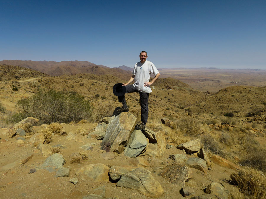
The next morning we headed for Sossusvlei via the scenic Spreetshoogte Pass.

Tom with Spreetshoogte Pass

Tom with Spreetshoogte Pass

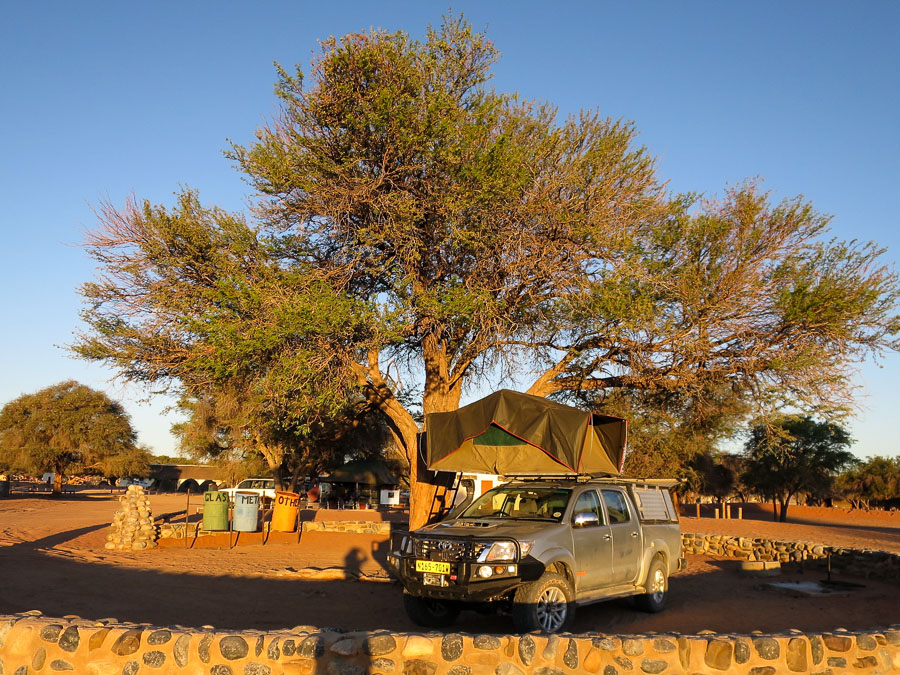
We had about half an hour of tarmac before we hit the dirt. The roads were generally well-graded and we could comfortably cruise along at 80km/h. At Sesriem we bedded down early as we planned to get out to the dunes for sunrise (or as early as we could given the internal park gate opened at 6am).

Campsite at Sesriem

Campsite at Sesriem

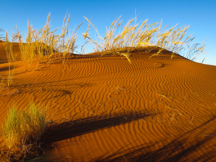
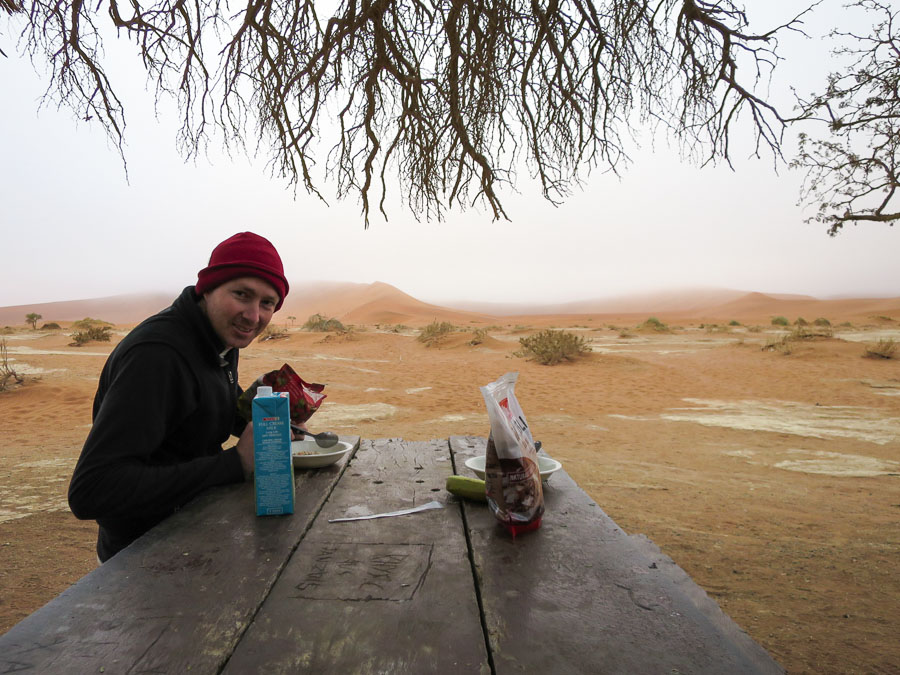
As it was our first time packing up the roof tent, and it was going to be in the dark, we left ourselves plenty of time. So much so that we were ready at 5:40am so we figured we’d head to the gate and wait… except the gate was already open. Off we headed into the thick soupy fog which made driving very tricky! The fog also put paid to any visible sunrise, though we did get to share whatever it was with about 50 other people at Dune 45. We soon continued on to Sossusvlei where I bravely decided to tackle the ‘4WD only’ section from the 2WD car park. Fortunately Tom had insisted we put the car into 4WD mode before I started driving as I had badly misjudged how thick the sand was going to be. We got through the 5km but not without a few nervous moments for both the driver and passenger. We enjoyed a solitary breakfast but just as we finished up the hordes began arriving.

Dunes

Dunes

A foggy, solitary breakfast at the 4WD car park at Sossusvlei

A foggy, solitary breakfast at the 4WD car park at Sossusvlei

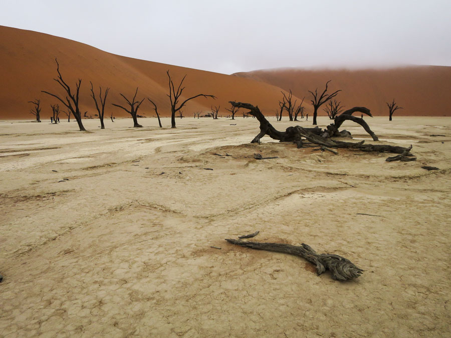
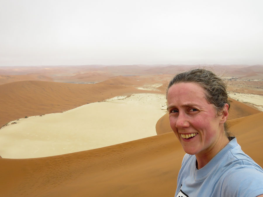
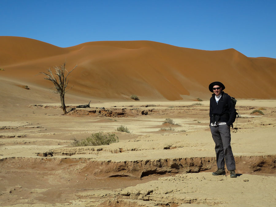
Deadvlei was pretty cool – a clay pan studded with blackened dead trees, surrounded by huge sand dunes. It was still clouded over which made it feel extra surreal. Taking advantage of the cool temperatures I decided to climb the massive dune (“Big Daddy”) at the head of the pan. Over 300m high – though of course when climbing sand you’re mainly going 2 steps up 1 step back – it was pretty hard work. In the steepest section I was reduced to doing 30 steps, 30 seconds rest, repeat. Interval training? The views at the top were great, and then I proceeded to bum slide back to the bottom.

Deadvlei

Deadvlei

Looking back at Deadvlei from the top of "Big Daddy"

Looking back at Deadvlei from the top of “Big Daddy”

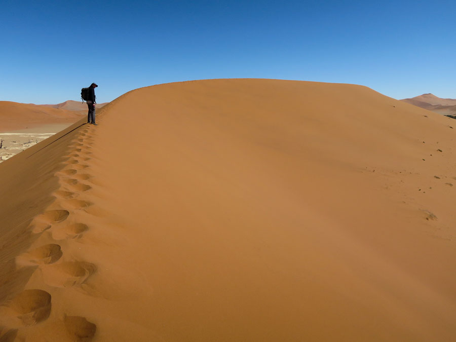
The sun eventually poked out and changed the colours completely. It is such incredible landscape.

Deadvlei with some blue sky

Deadvlei with some blue sky

Dune landscape

Dune landscape

Both driver and passenger were much happier with Tom taking the wheel for the drive back to the 2WD carpark where we hung out in the shade for a few hours. Later in the afternoon we walked to Hidden Vlei and took in some more of the desert landscape before a late afternoon stop at Dune 45.

en route to Hidden Vlei

en route to Hidden Vlei

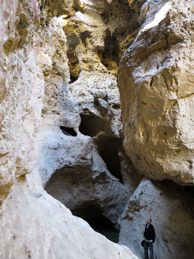
Not quite so early the following morning we visited Sesriem Canyon. I wasn’t expecting much, so was pleasantly surprised it was actually a slot canyon. We meandered through it for a while before starting the long drive to Swakopmund.

Tom in Sesriem Canyon

Tom in Sesriem Canyon

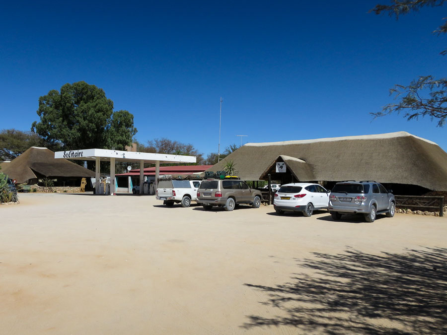
The drive was broken in Solitaire where there was supposedly amazing Apple Strudel sold. I was sceptical that it was one of these things that all the tourists get told to do but it was actually pretty good.

The aptly named Solitaire

The aptly named Solitaire

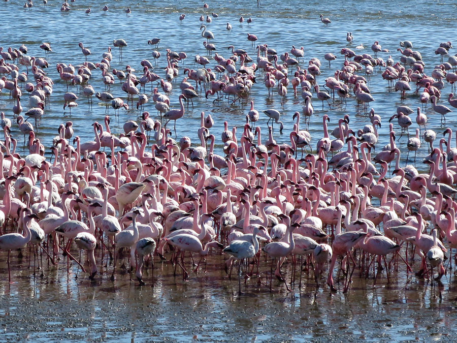
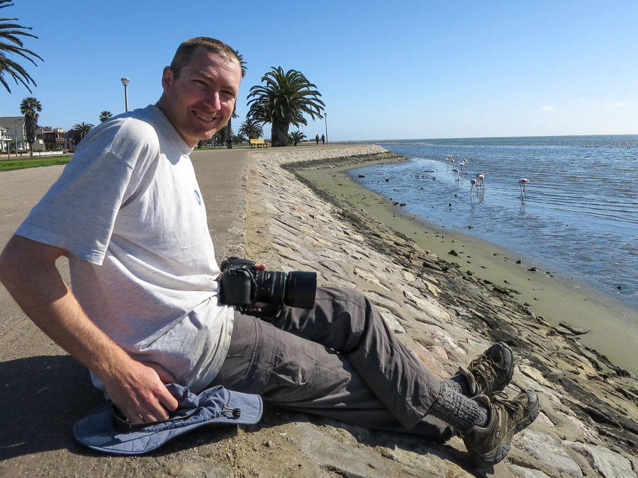
Walvis Bay was a detour, where we found the flamingos and spent the best part of an hour photographing them. After all the sand in the Namib Desert we were happy that we’d been booked into a lovely B&B for the night.

Flamingos at Walvis Bay

Flamingos at Walvis Bay

Photographing flamingos

Photographing flamingos

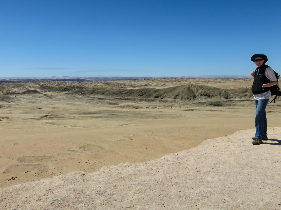
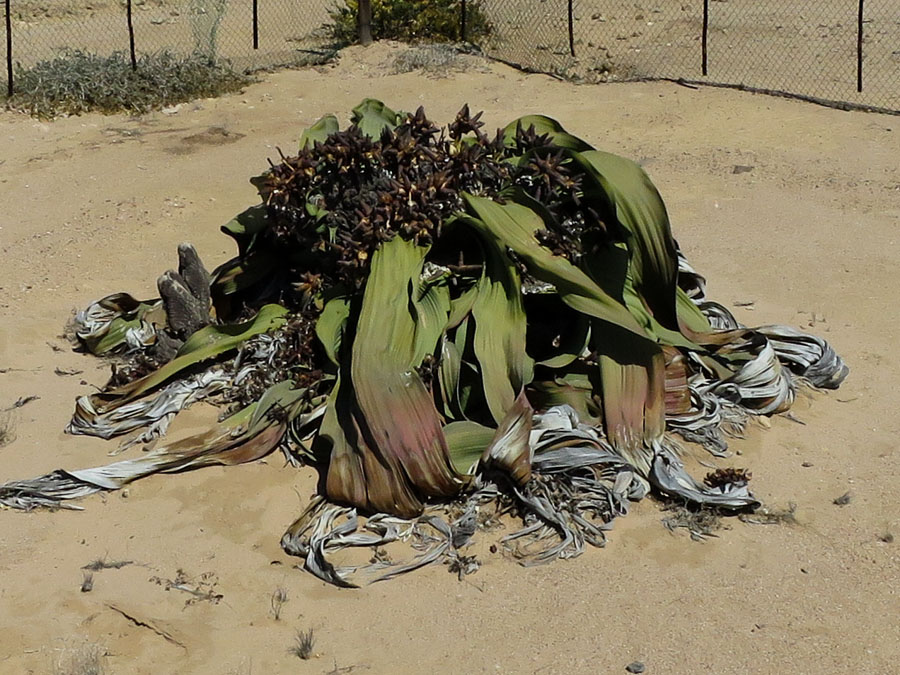
The morning was spent restocking, getting permits and buying bird/mammal field guides. We finally got away around midday and headed for the Welwitschia Plains. The Welwitschia plant is quite curious and the surrounding moonscape was spectacular.

Namib Desert Moonscape

Namib Desert Moonscape

Welwitschia Plant - estimated to be 1,500 years old

Welwitschia Plant – estimated to be 1,500 years old

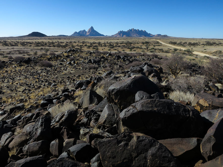
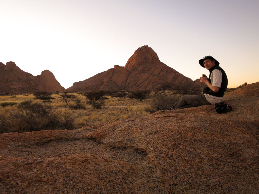
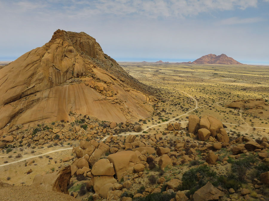
Then on to Spitzkoppe our destination for the night. Spitzkoppe is a dramatic granite peak which rises distinctly out of the flat plains. Next to it are the Pontok Mountains which are also spectacular. The camping areas were well spread out nestled into the rock outcrops around the area. We arrived in time for plenty of photo-taking, which extended well into the evening as Tom wanted to play around with his flashes and some star photography… Yes, the results are probably worth it but I got bored halfway through and went and had a cup of tea.

Spitzkoppe (left) and Pondoks (right)

On approach to Spitzkoppe (left) and Pontoks (right)

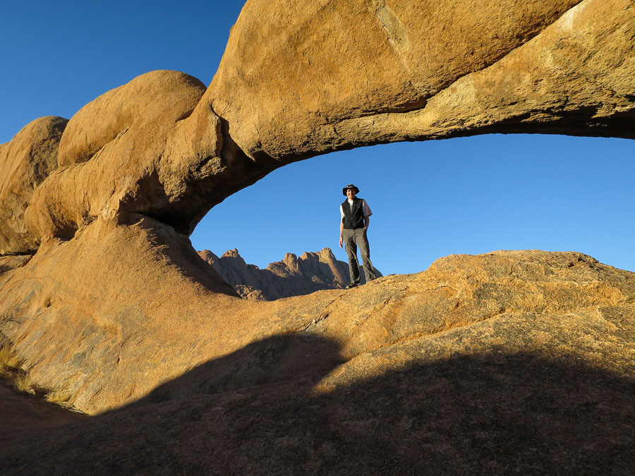
Natural rock arch

Natural rock arch

Sunset and Spitzkoppe

Sunset and Spitzkoppe

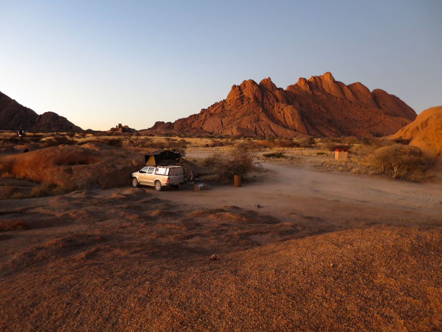
Scenic campsite

Scenic campsite

The next day we took a guided walk to ‘Bushman Paradise’ – unfortunately the rock art wasn’t in great condition but the views from the walk were excellent.

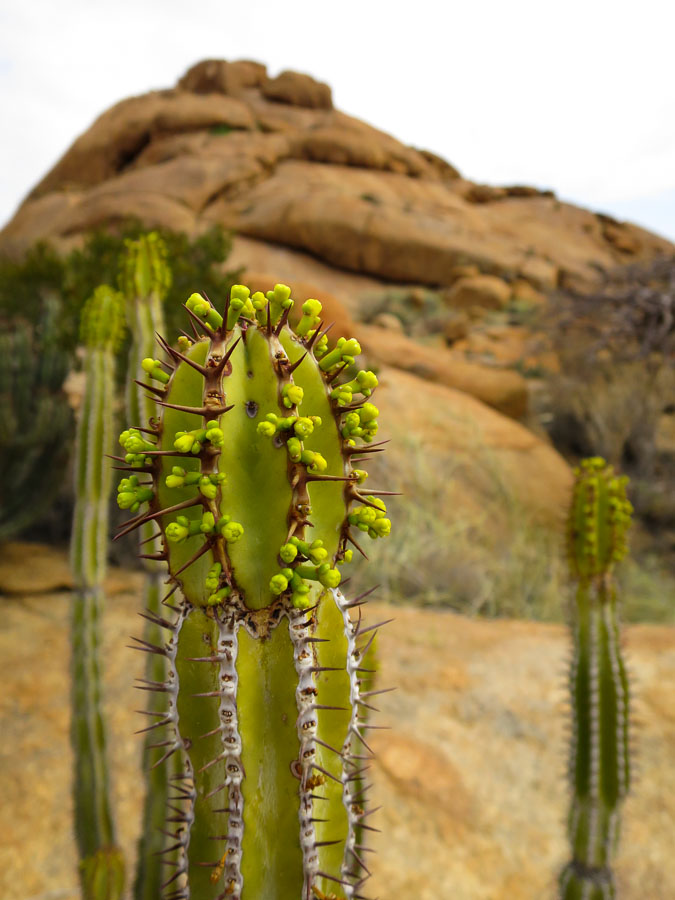
Euphorbia

Euphorbia

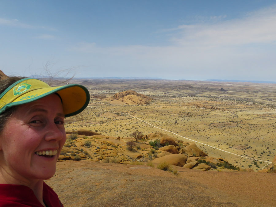
I was keen to get as far up Spitzkoppe as I could (to get to the summit requires proper rock climbing) but Tom decided his foot wasn’t up for it, so I left him trying (in vain?) to photograph dassies (hyrax). My first attempt ended up being a climbing approach route and I got funnelled to the base of a climb (complete with shiny new bolts) rather than the saddle. We moved around to the other side of the peak where there was a much easier approach, though by this point it was around midday and fairly warm. I made it up to the saddle, with what seemed enormous effort towards the end, took in the views and a few photographs before heading back to Tom.

View from Spitzkoppe Saddle

View from Spitzkoppe Saddle – the little outcrop where we camped is the barely visible bumps centre right

Views from Spitzkoppe

Views from Spitzkoppe

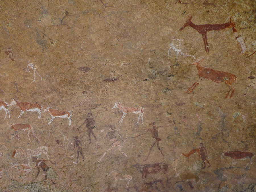
With the exploring at Spitzkoppe we didn’t get to The Brandberg, home of the “White Lady” until 4pm. We hadn’t realised the walk to the “White Lady” was ~2 hours return – sunset was around 7pm and we still an hour of driving to get to camp. We ummed and ahhed and when pushed our guide said 5km so we figured we could probably do it in less than 2 hours so off we went. The “White Lady” is in fact a drawing of a male witch doctor surrounded by plenty of other rock art in far better condition than the Bushman Paradise collection. Quite incredible.

IMG_7823

The “White Lady” (more faded image bottom centre) and other rock art

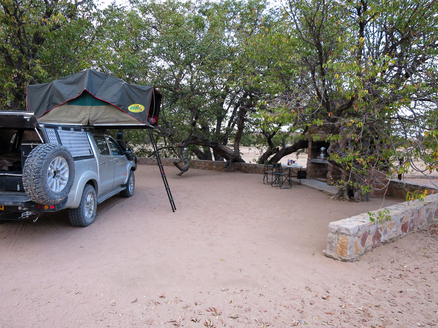
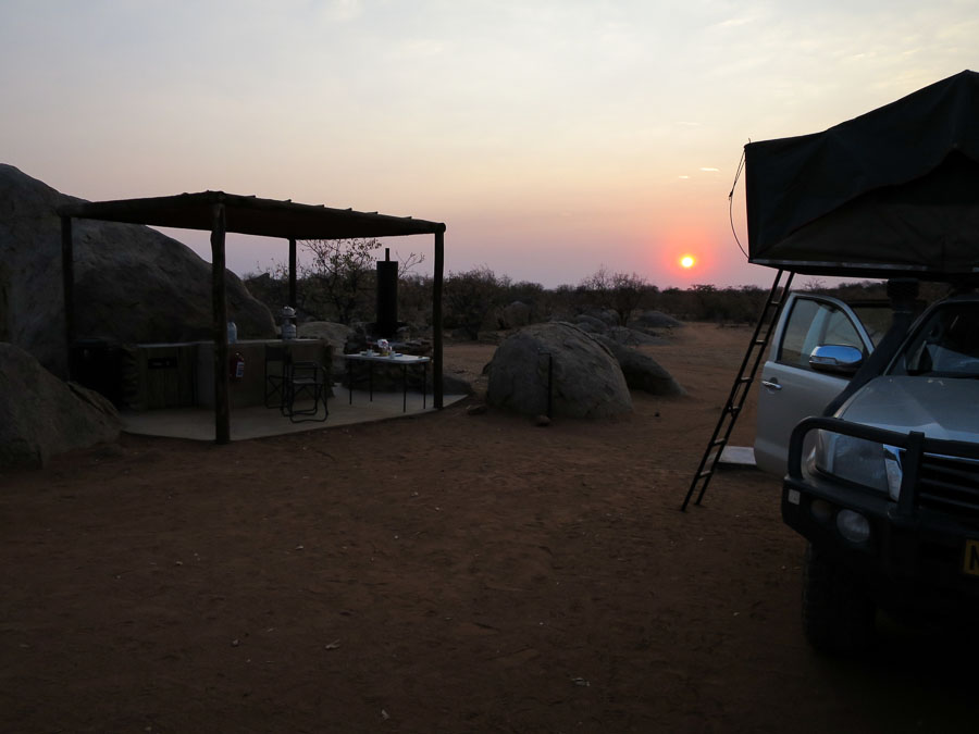
From there it was an increasingly dark/anxious drive to get to Madisa Campsite without hitting any wildlife. We arrived just as it was getting properly dark and we felt guilty that Wayne our host had likely just been sitting around waiting for us. We soon had the roof tent set up, and I enjoyed the open air, cold (by choice) shower. No sign of the desert-adapted elephants which sometimes pass through camp.

IMG_7827

Camp at Madisa Campsite

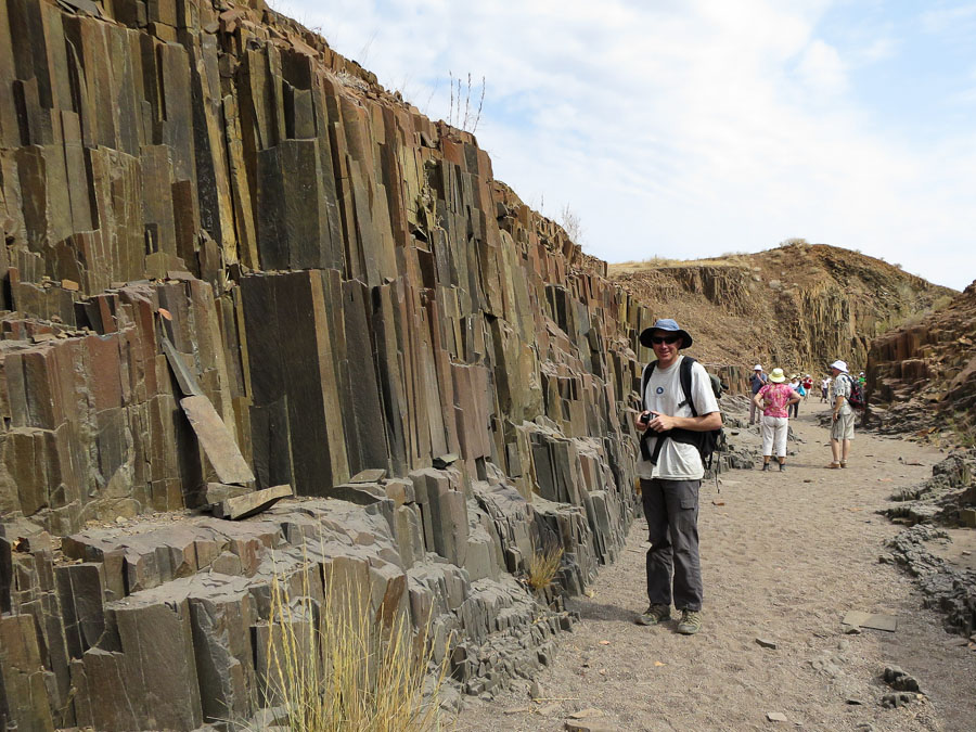
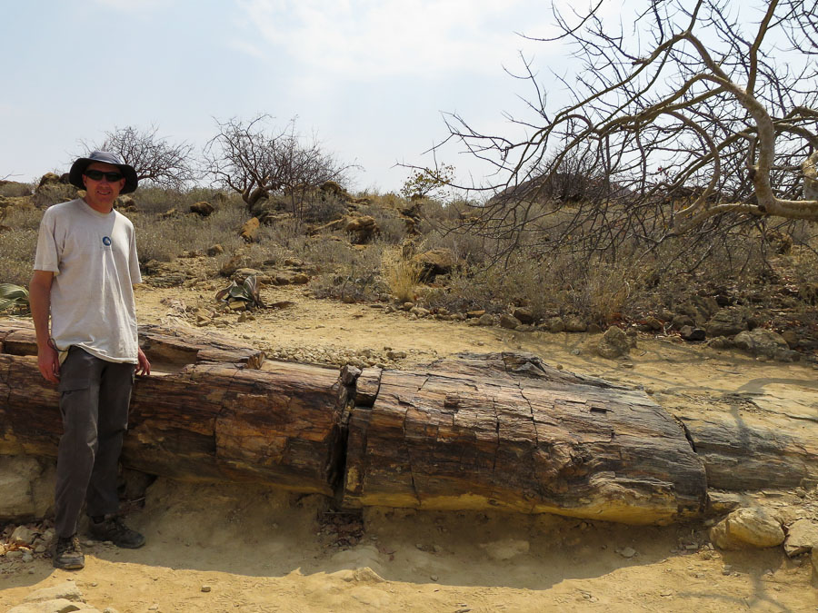
The next day was meant to be a short day. But with visiting the Organ Pipes/Burnt Mountain (the only thing we visited and paid for that felt like complete tourist gouging), Twyfelfontein, the (official) Petrified Forest and having to detour into Khorixas to re-fuel and get cash we found ourselves yet again chasing sunset on our way to Hoada Campsite.

Organ Pipes

Organ Pipes

Rock etchings at Twyfelfontein

Rock etchings at Twyfelfontein

Petrified Forest

Petrified Forest

We arrived a little earlier than the previous day – maybe 20 minutes before sunset. Just enough time to park the car and walk back to reception and the amazing bar they’ve built up in a granite outcrop with wonderful views. A cold cider went down very well! And it was good to chat with some of the other guests who were staying there.

Sundowners at Hoada Campsite

Sundowners at Hoada Campsite

Sunrise at Hoada Campsite

Sunrise at Hoada Campsite

We were then on to the final stage of the road trip – Etosha National Park.

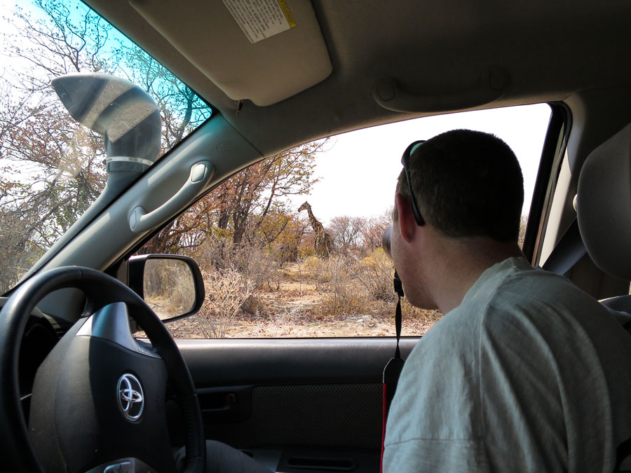
IMG_7848

Early wildlife sightings

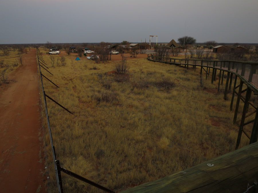
We were heading into the Western Gate which is a less common approach and staying on the Western side for 2 nights. The campground itself was not signposted and we drove past it initially. It was largely treeless and somewhat desolate. But I guess if you’re going to put a campground in the middle of a national park you’re not necessarily going to get a picturesque spot. The camp had a hide next to the (man-made) waterhole and when we arrived there were 2 elephants in having a bath.

Elephants visit the waterhole next to the hide at Olifanstrus Camp.

Elephants visit the waterhole next to the hide at Olifantsrus Camp.


Olifantstrus Camp

Olifantsrus Camp from the walkway out to the hide. Our car is the ute closest to the fence.

Our time at Etosha was spent looking at (or looking for) animals. Etosha has many man-made waterholes which means finding animals is relatively easily. Basically drive to waterhole, chances are there’ll be something there. There were two main highlights from Etosha. The second night that we stayed at Olifantsrus Camp we decided to head out to the hide later in the evening. The waterhole is floodlit, we had been out the previous evening and seen nothing so weren’t expecting much. We’d been sitting there in the dark for half an hour with nothing showing up. I was just about to call time and head for bed when a hyena appeared, with a cub. Kind of interesting as we hadn’t seen any hyenas up to that point. Then another hyena appeared. Cool. Then a rhino ambles out of the bushes. About the same time the hyenas start having a fight (out of the lit area but they made plenty of noise). That freaked out the rhino, bugger. Hyena fight moves ‘on stage’ and then peters out when one concedes defeat. The rhino reappears, awesome. Hang on, here’s 3 more rhinos from stage left (including mum & baby)! Oh wait another rhino stage right. We spent the next hour or more watching the rhinos drink, huff & puff a lot, have mud baths (baby still getting the hang of that one), scratch up against trees and scare off anything else that thinks getting drink about now is a good idea.

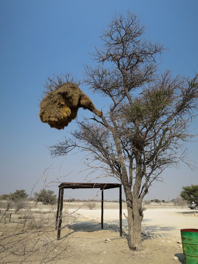
Impressive Weaver Bird nest

Impressive Weaver Bird nest

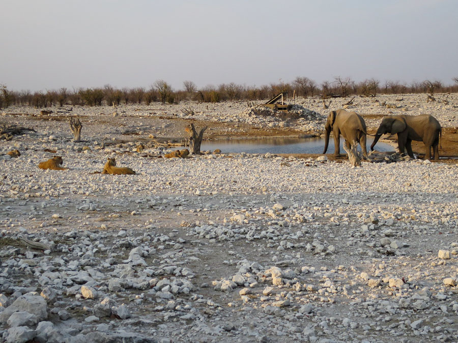
The other highlight was from our third day, on the Eastern side of the park. We’d only seen one lion (at quite a distance) up to that point. Checking the sightings at Okaukuejo we saw one of the closer waterholes had lion sightings that morning. We decided to head there in the late afternoon and see if they were still about. Initially when we turned up there was nothing at the waterhole – kind of unusual normally there were at least some zebra or springbok around. We decided to stay for a while given we were on a quest for lions and this was where they were last seen. Using the binoculars and the zoom lens (and noticing the people in the car next door point at something) we managed to spot a pride of lions on the far side of the water hole. Over the next 2 hours they eventually moved from basically out of sight to the naked eye to ending up about 10m away from the car. The pride consisted of 1 male, 7 lionesses, a young male and 2 cubs. The lion might be ‘king of the jungle’ but when these elephants came racing in the whole pride moved pretty quick…

Elephants show who is really boss out there

Elephants show who is really boss out there

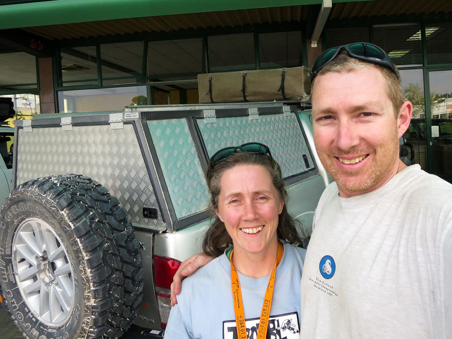
Back at the car depot - all in one piece but pretty dusty!

Back at the car depot – all in one piece but pretty dusty!

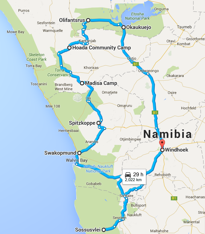
We had thought we were being a bit ‘different’ going to Namibia… not if you’re German! It seemed half of Germany was doing the same thing as us – our route was, as it turns out, a fairly unoriginal loop south to Sossusvlei, up the coast to Swakopmund, through Damaraland to Etosha National Park and then back to Windhoek.

Namibia_route

All up we covered 2,650km over 11 days.

Windhoek – Sesriem 319
Sesriem – Sossusvlei – Sesriem 126
Sesriem – Swakopmund 356
Swakopmund – Welwitschia Drive – Spitzkoppe 245
Spitzkoppe – Madisa Camp 232
Madisa Camp – Khorixas – Hoada Camp 354
Hoada Camp – Olifantsrus 242
Etosha game drives 148
Olifantsrus – Okaukuejo 202
Okaukeujo – Windhoek 426
1 2