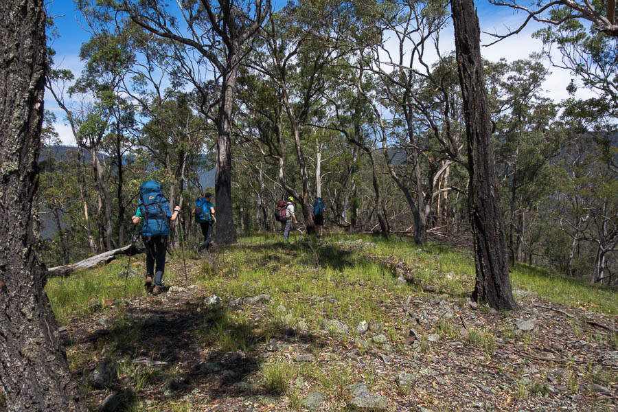
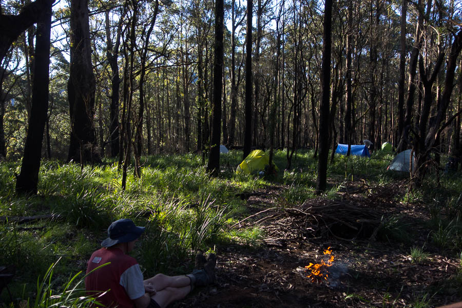
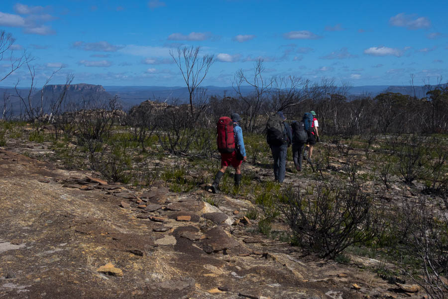
With the Victorian Covid-19 lockdown came more “requests” from my employer to take days off to help the bottom line. Trying to fit in 4 days off in 4 weeks, with no prior notice, and make good use of them is a bit tricky. I ended up booking in a 4 day weekend, but left it a bit late to try and recruit playmates. Tom wasn’t keen on a 3 day trip, but I couldn’t bear the thought of not doing something given it was a beautiful weather forecast. Wednesday night the idea of going solo formed in my mind. The more I thought about it the more I couldn’t see any reason not to. Thursday night I made up a route that avoided any dodgy passes, and with pretty straight forward navigation. Friday 5:30am the alarm went off (much to Tom’s joy).
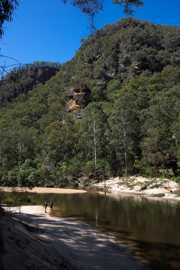
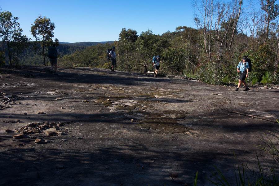
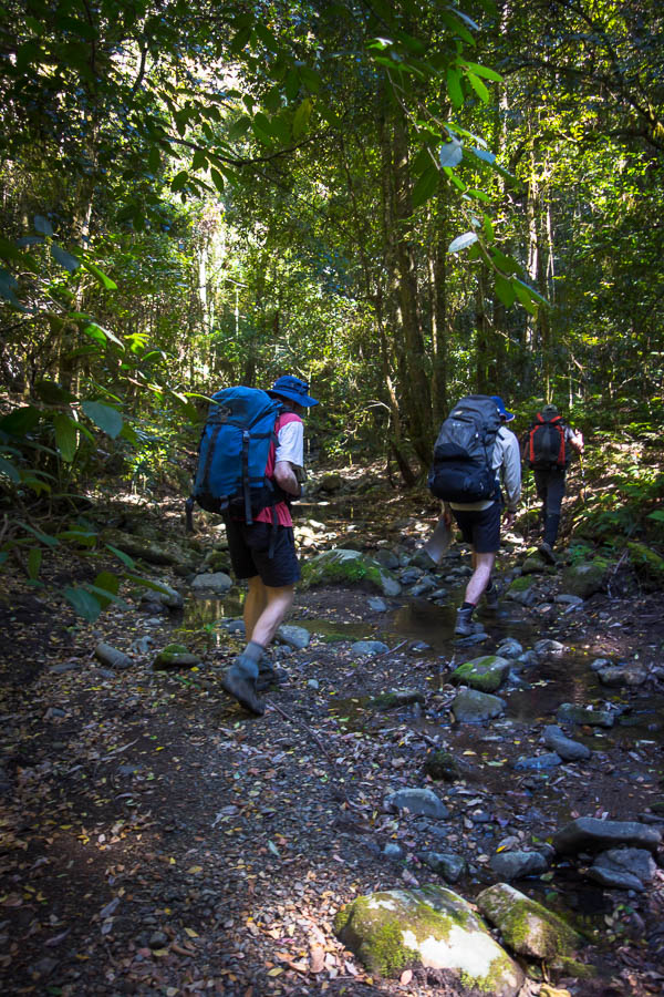
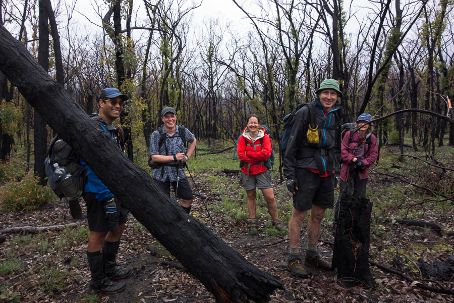
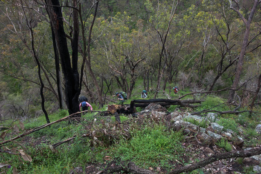
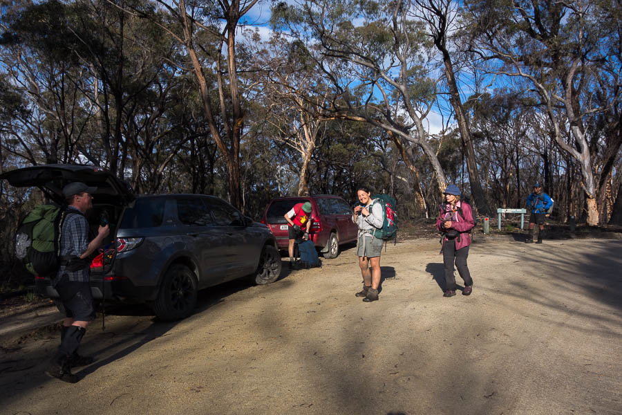
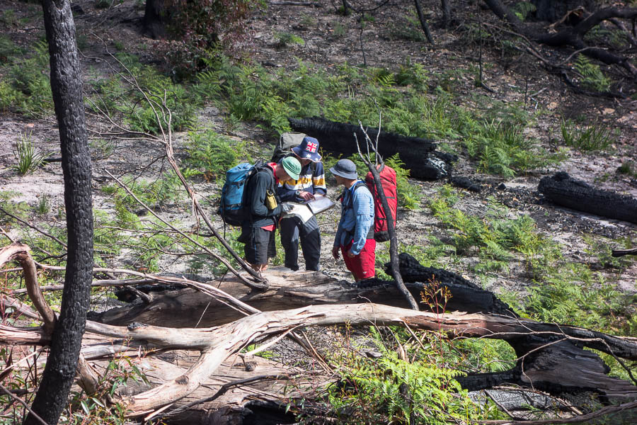
I pulled into the trackhead at 9am, and probably to our mutual surprise there was another party about to set off. I suspect they were more surprised to see a solo female bushwalker than I was to see a group of 3 men with pretty light packs. We had a chat as I pulled my gear together. They were heading out for 3 days not sure exactly where other than heading for Tilly Anne Gap / Monkey Ropes Creek. They headed off and a few minutes later I passed them on my bike. A final question was posed as I “raced” (hardly) past as to whether I was going to Perryman Falls. “The plan for tomorrow” I yelled back as a rolled down the road.
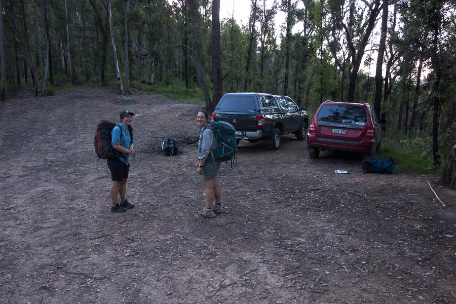
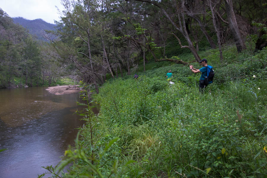
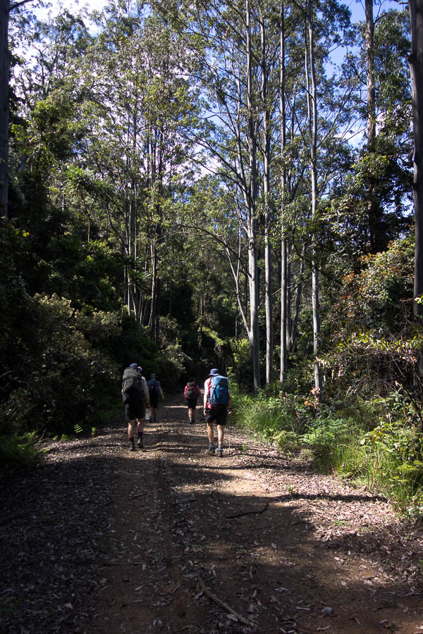
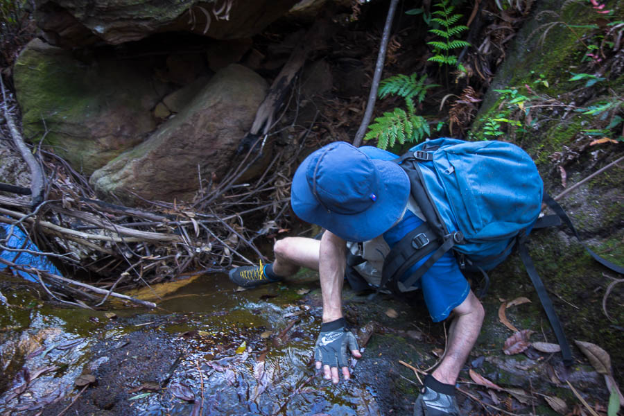
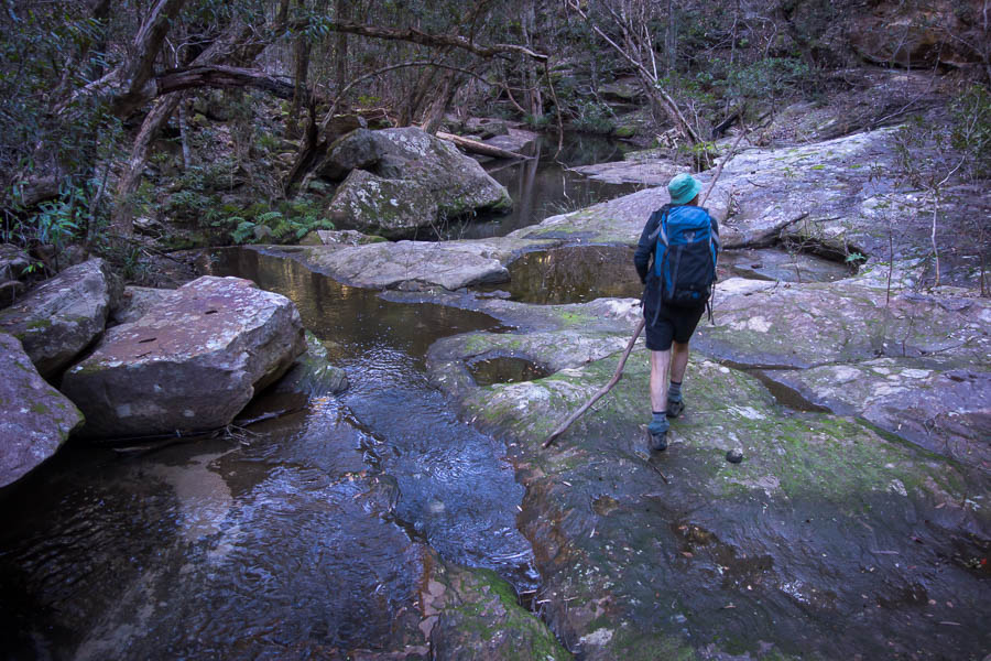
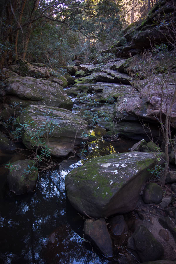
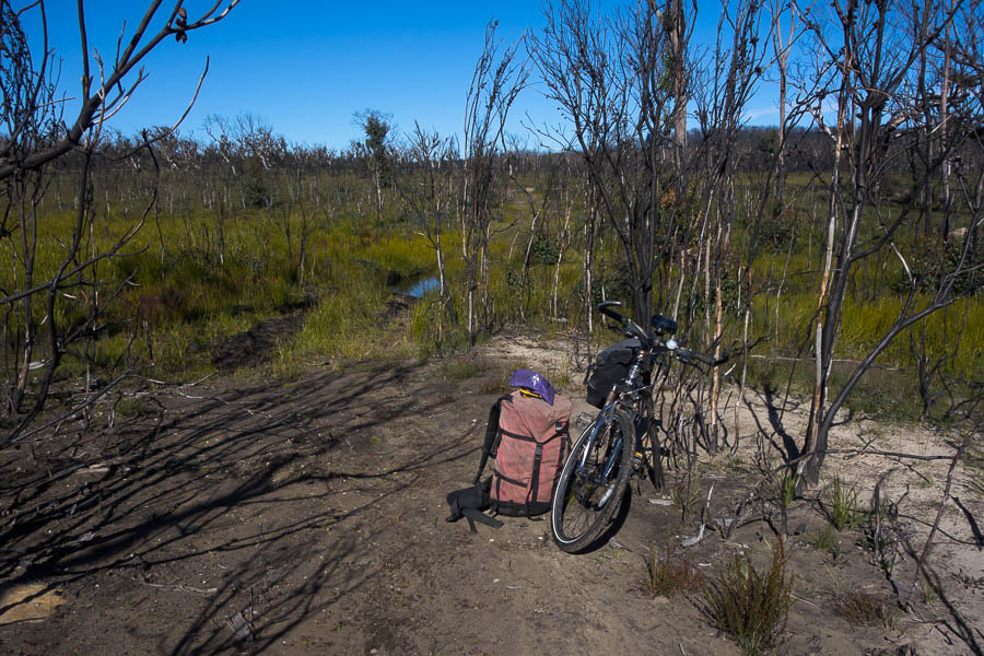
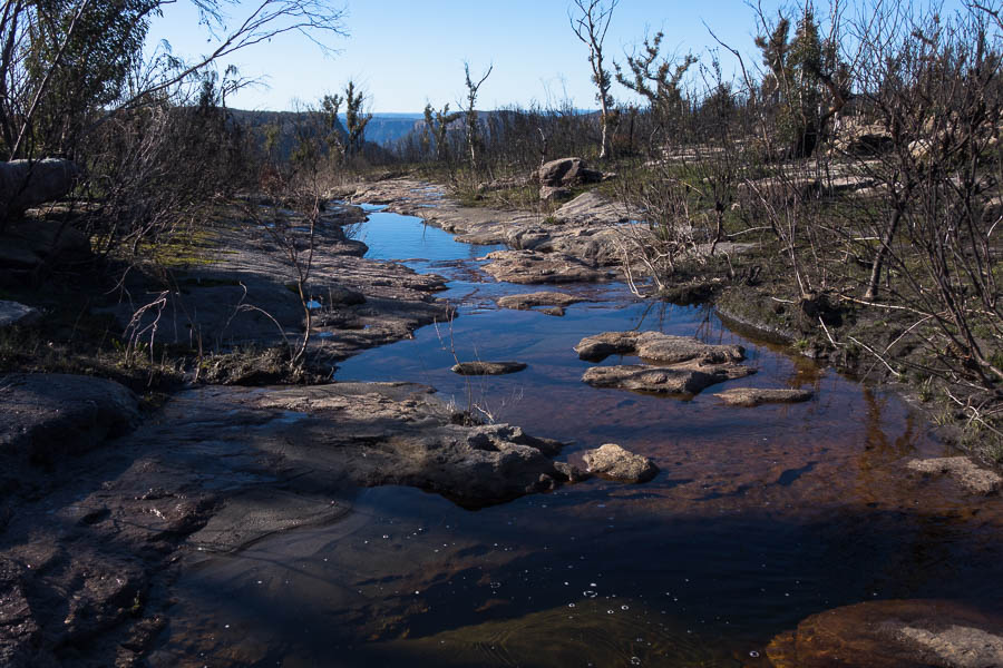
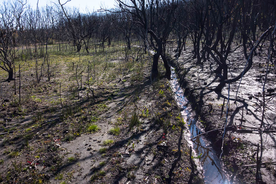
The ride out to where I planned to leave the bike was uneventful. I’d my first clues that water was going to be no issue before I’d even left the carpark. The section of the track at the start was so boggy I walked the bike through it. There were several sections like this along the road. And plenty of sections I was too much of a wuss to ride. I really didn’t want any punctures so was being pretty cautious. For some reason since I’d last had my bike serviced I couldn’t get my knobbly tyres on my bike and close the brakes, so I was just riding with my slicks.
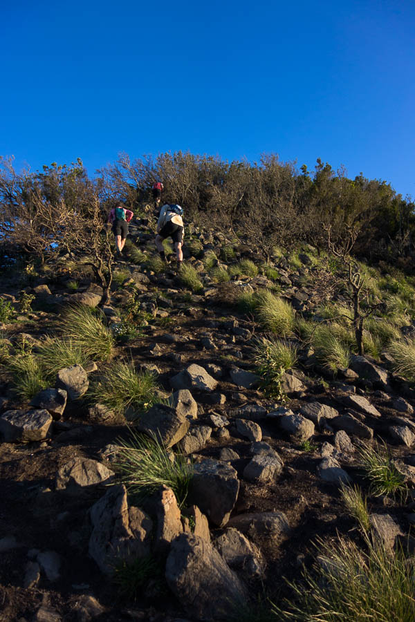
There were a few walking sections for the bike
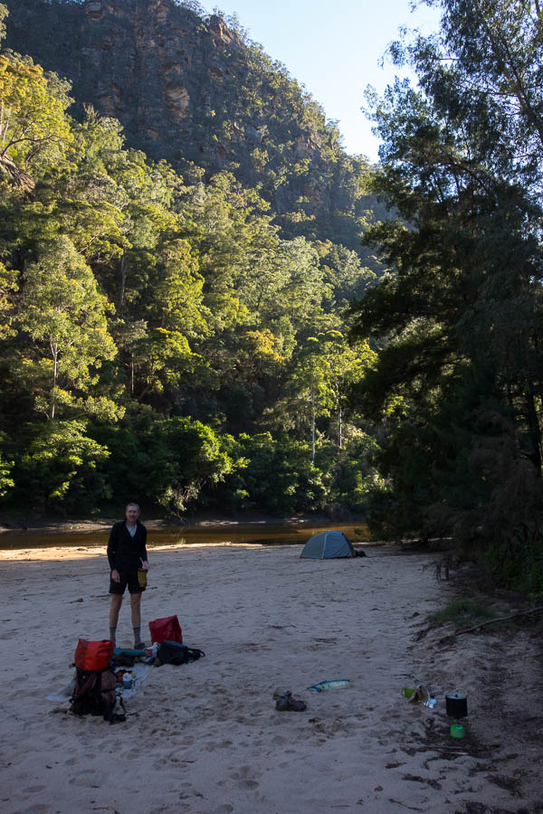
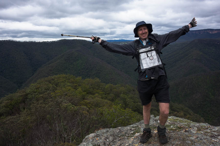
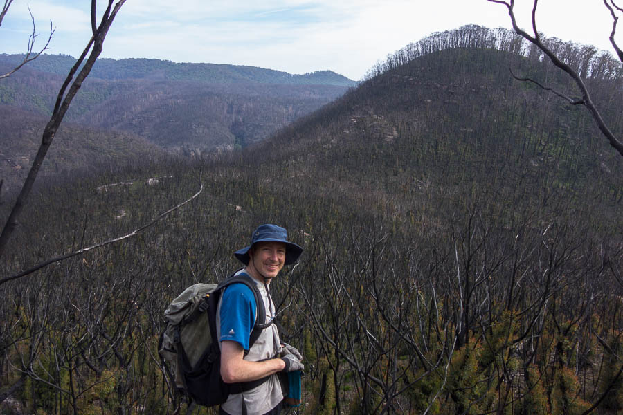
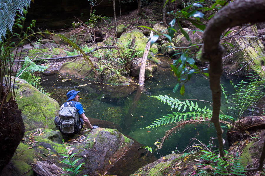
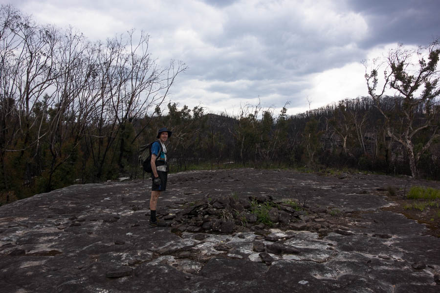
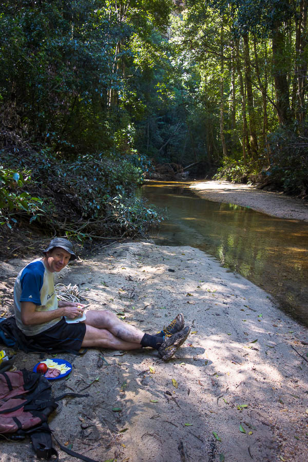
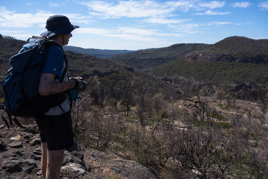
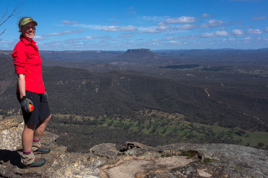
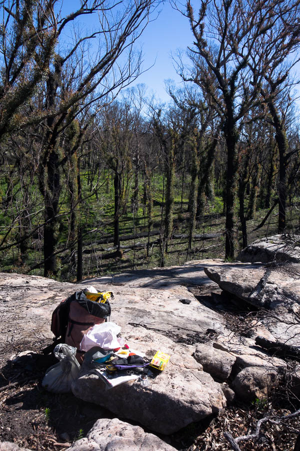
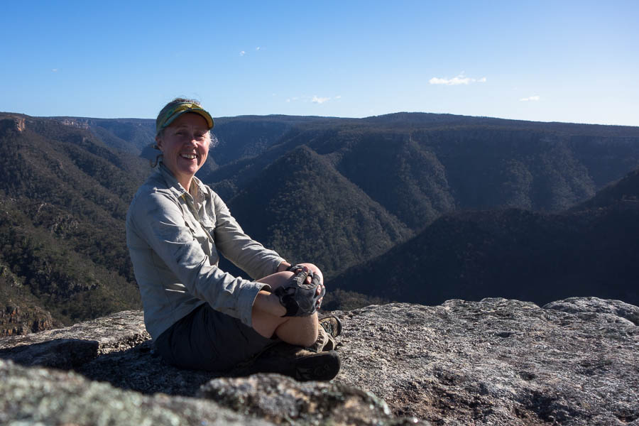
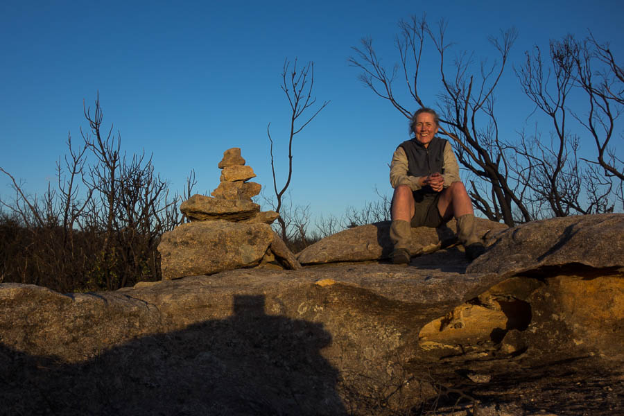
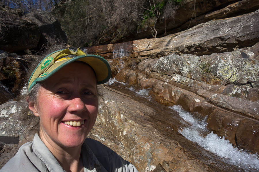
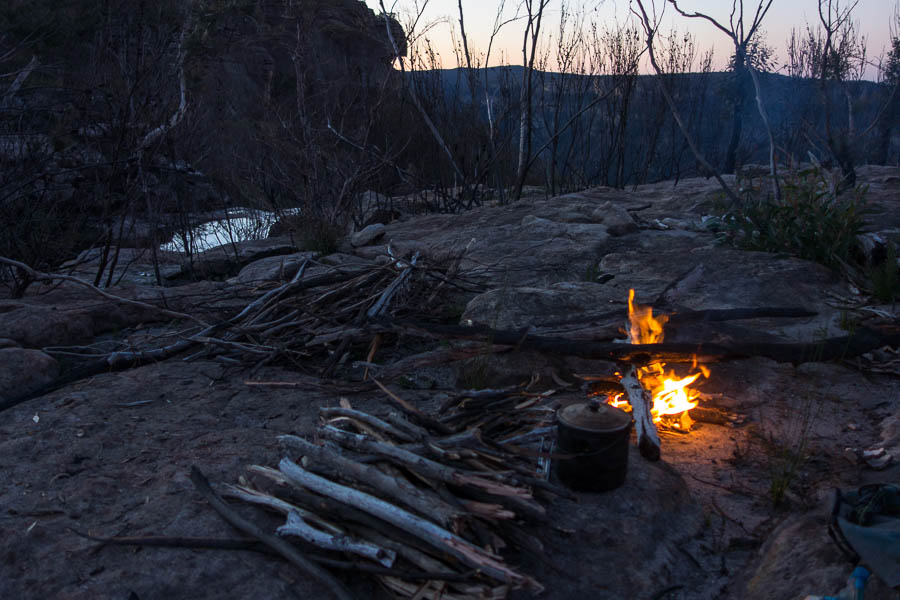
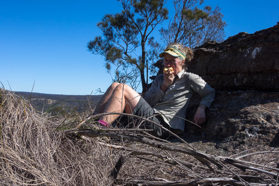
Leaving the bike at 10:15am I had morning tea a short walk away with views over the surrounding areas. I realised I had no idea how to use the self-timer on my camera… fortunately it didn’t take too long to work out. I’ve left the first shot unedited in all it’s crooked glory (rocks as makeshift tripods don’t lend themselves to being flat).
First attempt with the self-timer….
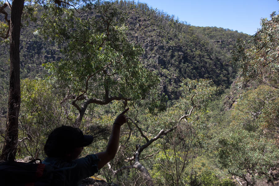
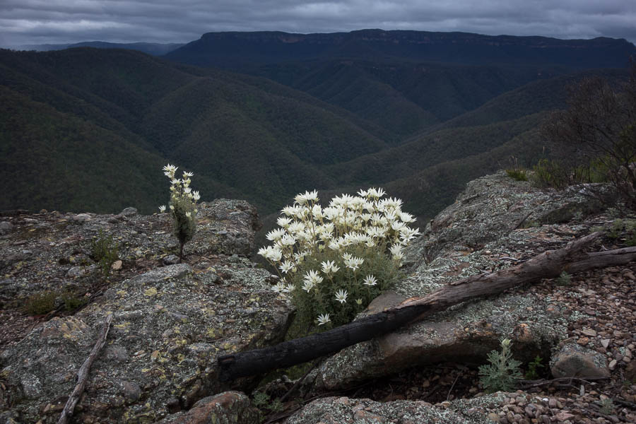
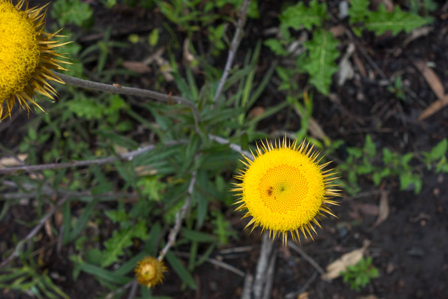
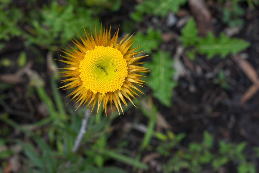
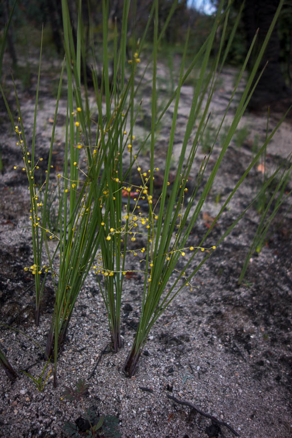
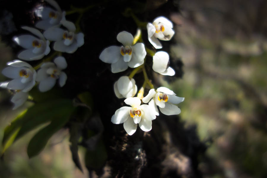
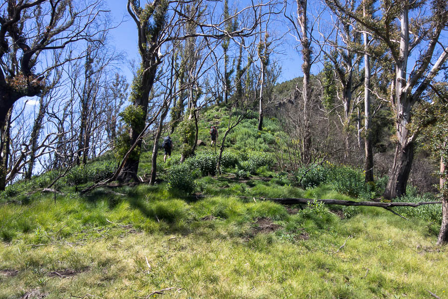
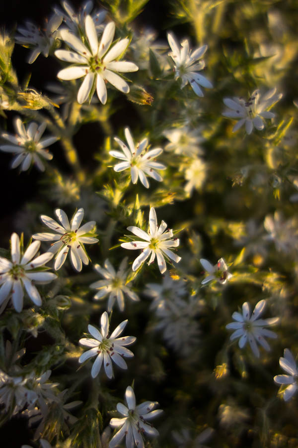
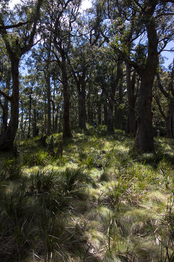
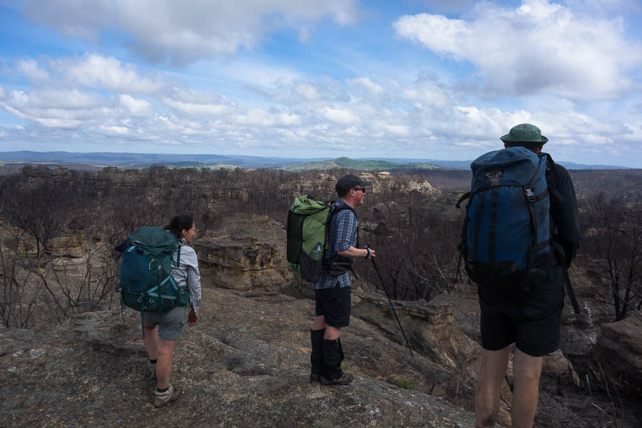
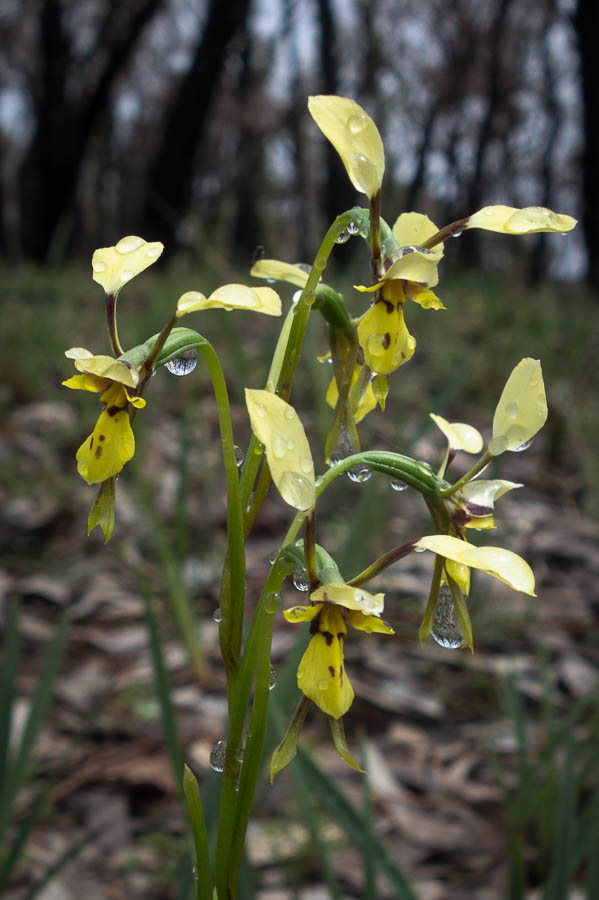
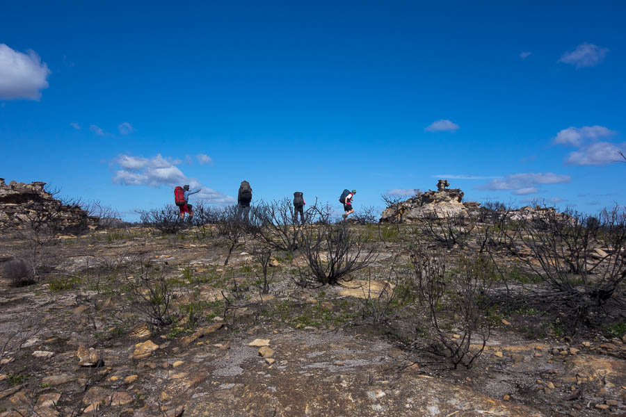
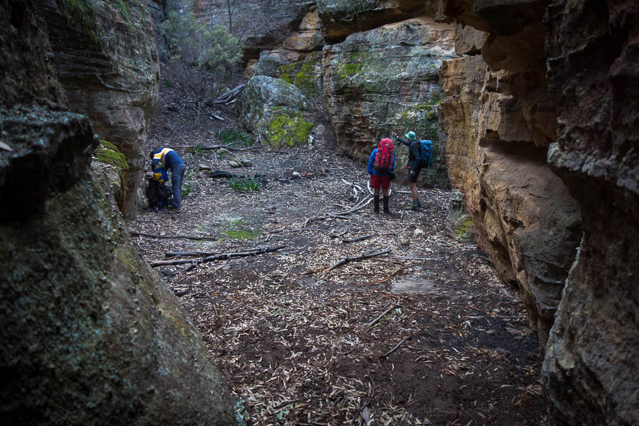
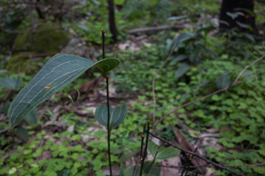
The main things I can say about the Paul’s Pass Walking Track is it’s relatively flat, fast… and pretty boring. But fortunately that meant I was at Tilly Anne Gap for lunch time. There were fields of native Solanums all in flower. I was glad that Tom had worked out they were native only a few days ago, so I didn’t have to despair at the take over of the weeds!

So glad I now know these are native!
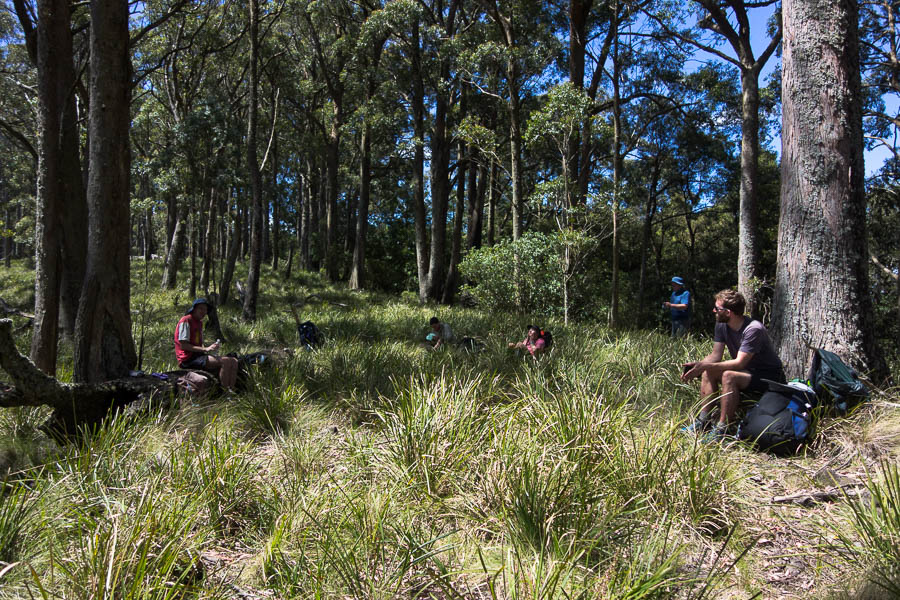
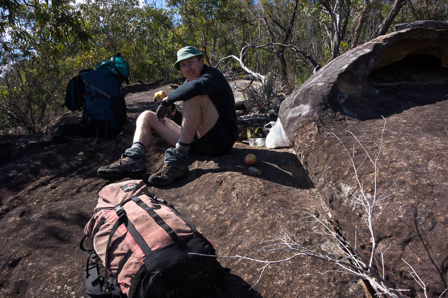
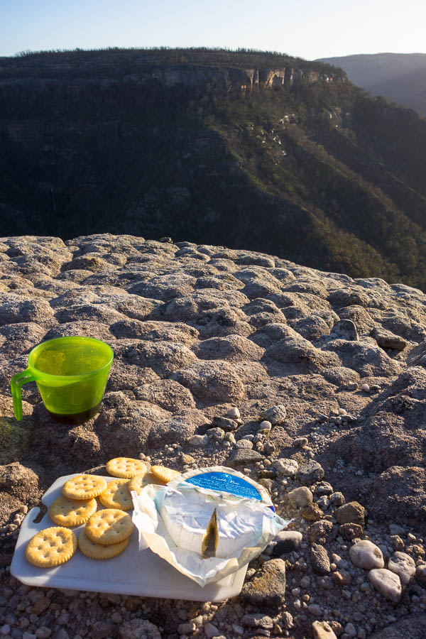
Lunch at Tilly Anne Gap
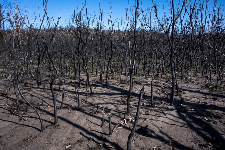
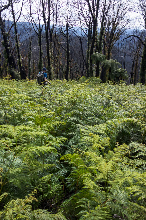
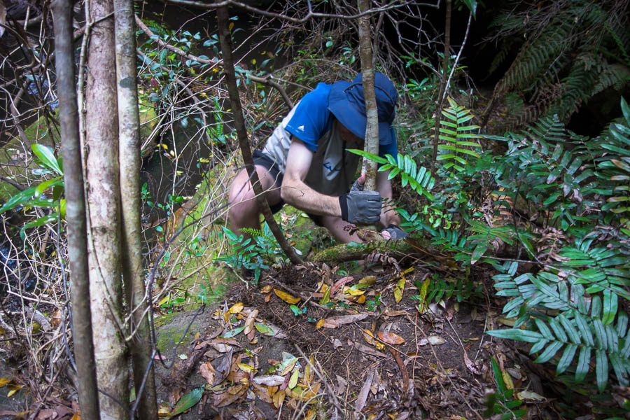
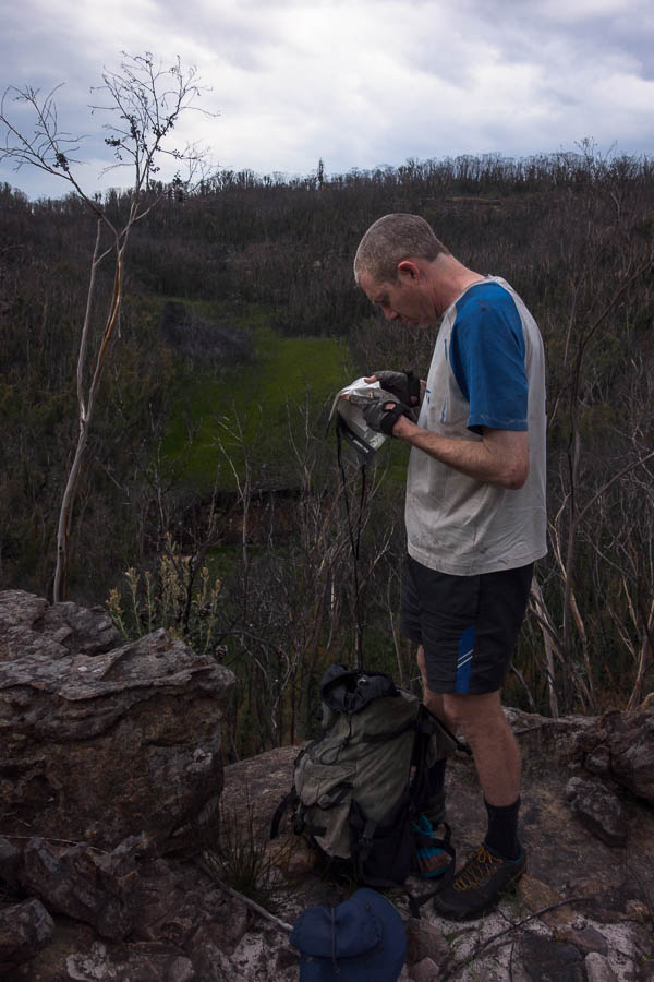
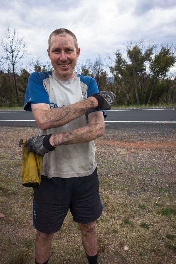
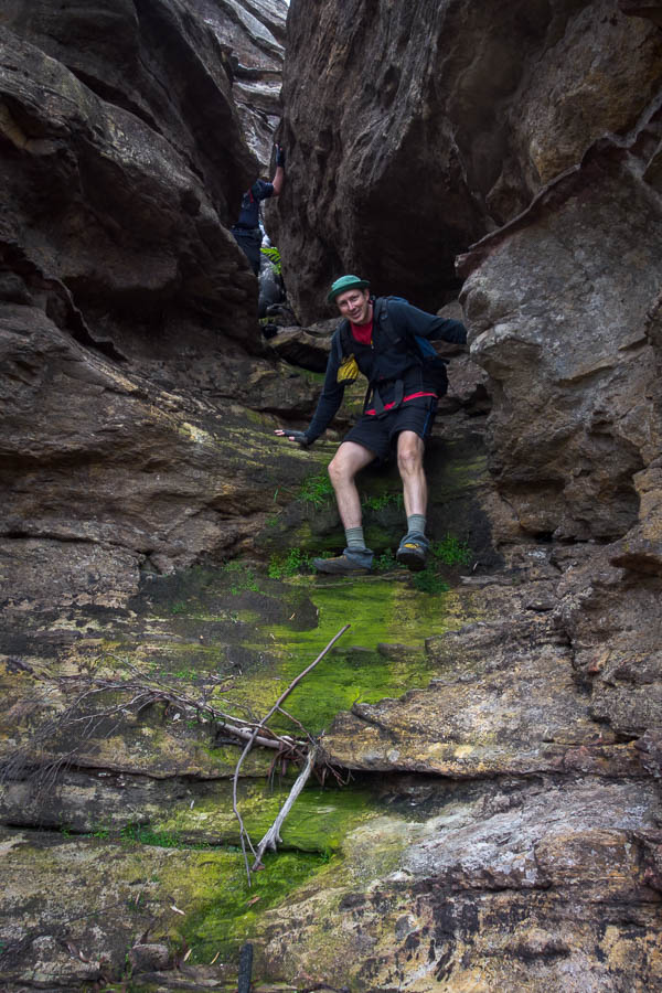
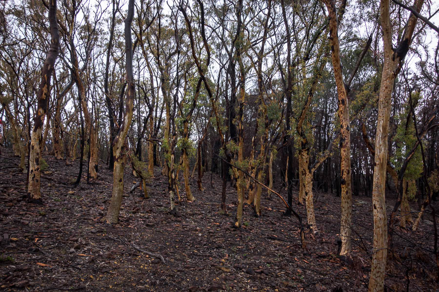
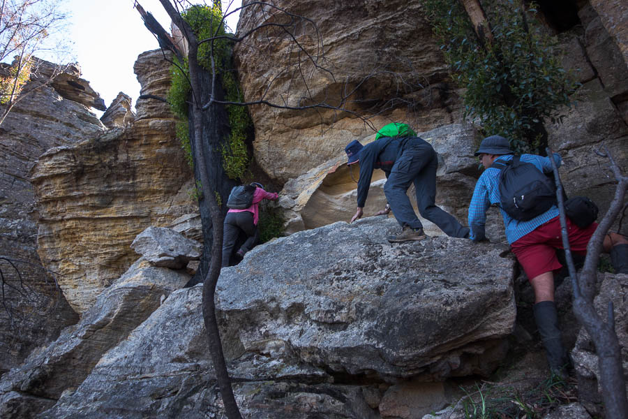
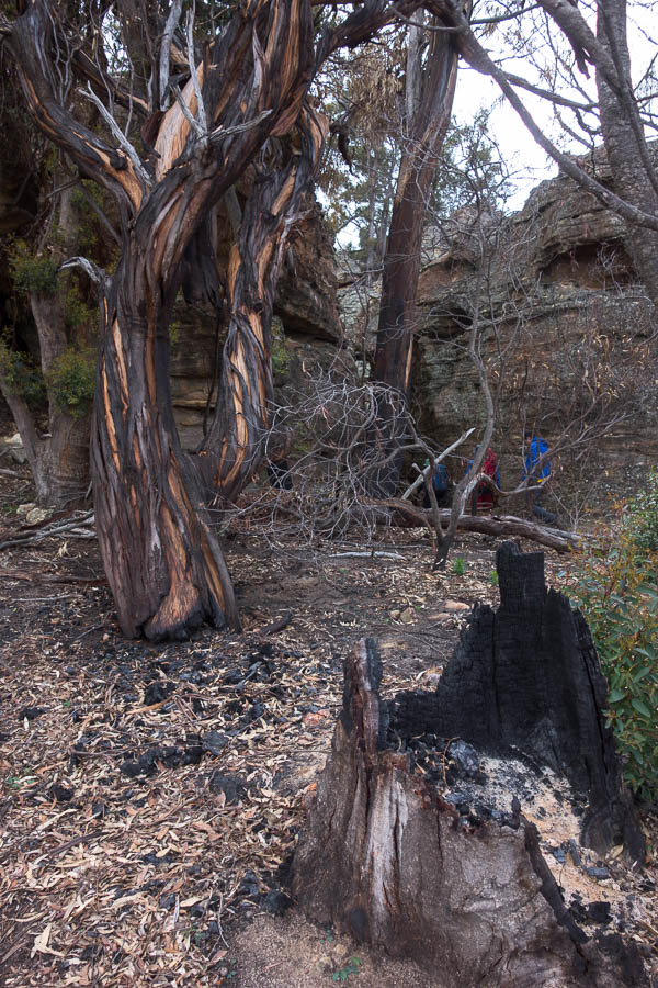
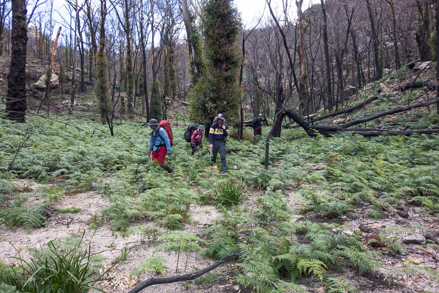
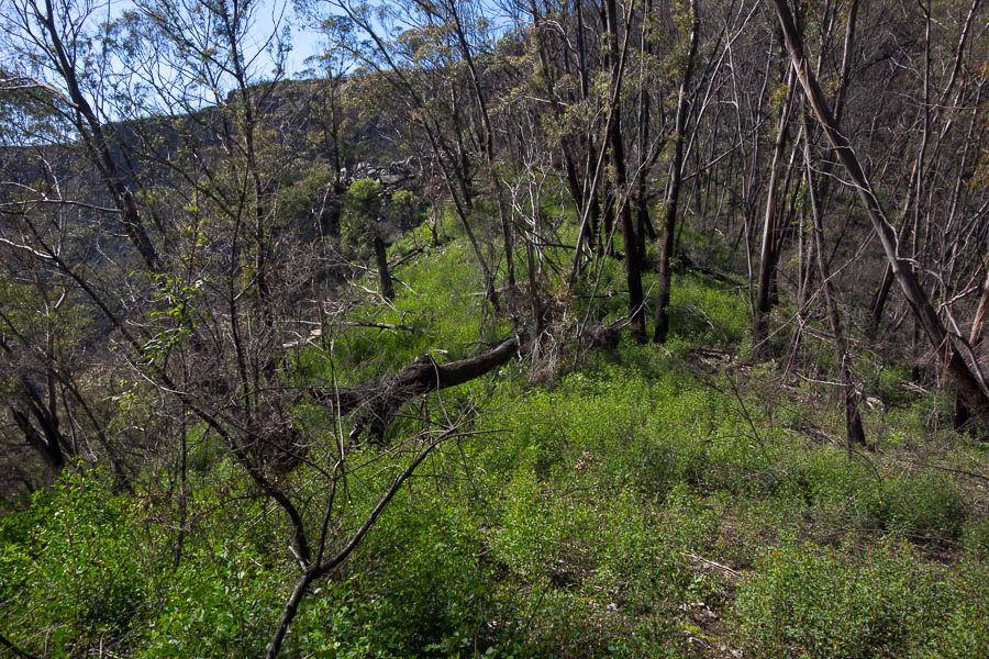
Sure they are easier to get through than pre-burn, but they make you very dirty
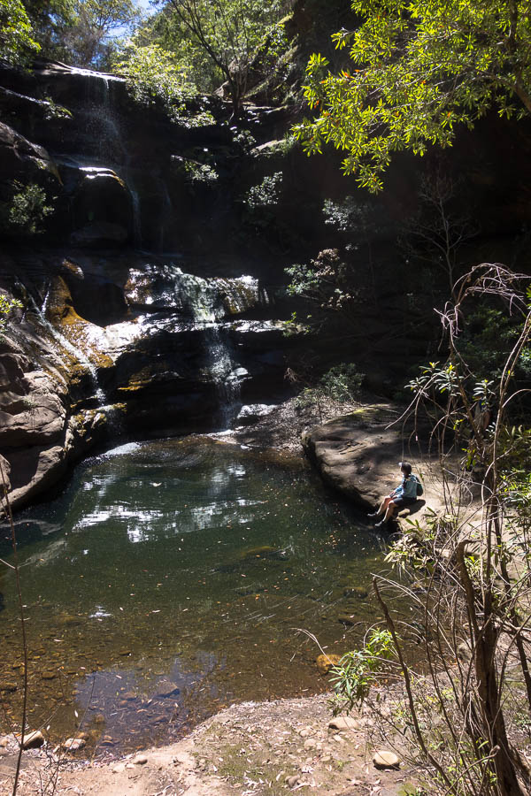
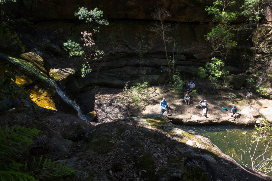
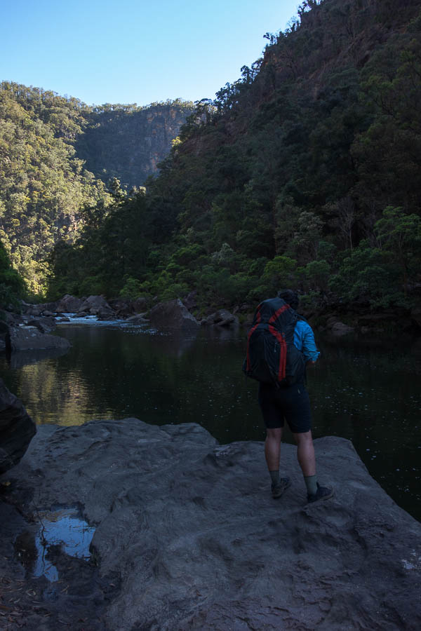
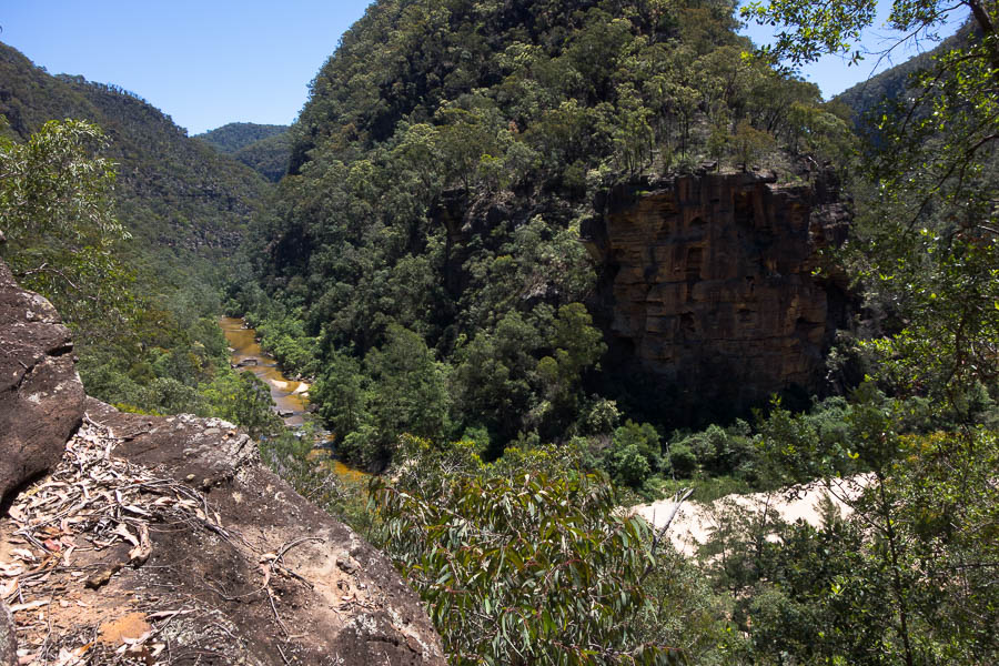
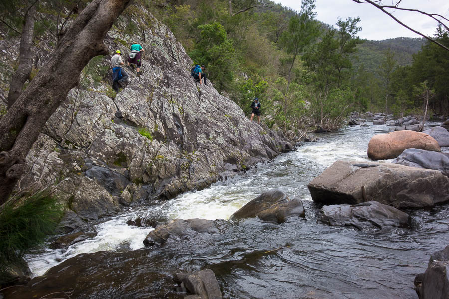
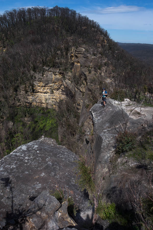
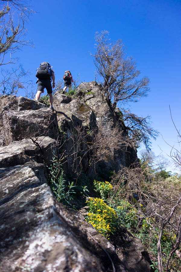
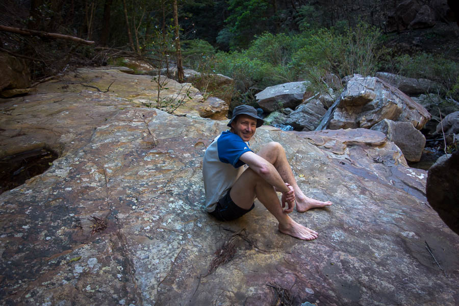
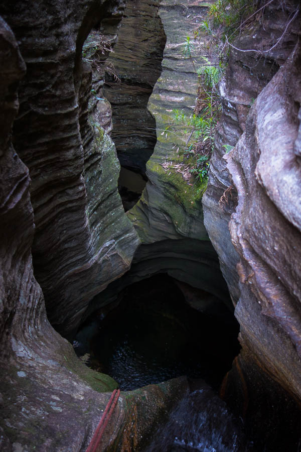
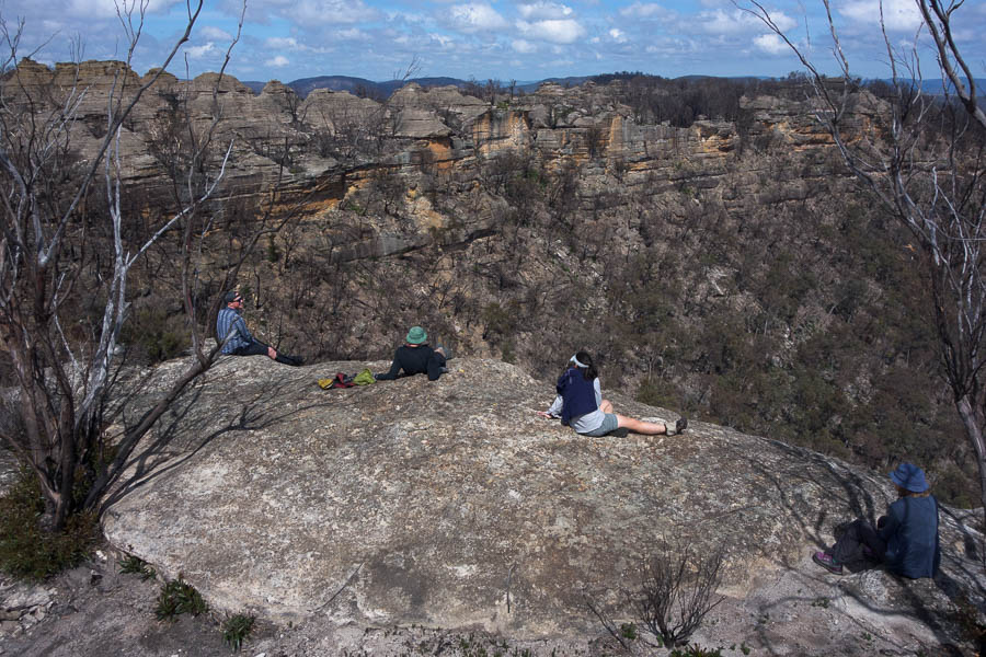
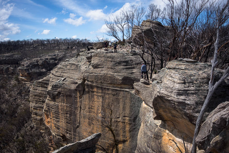
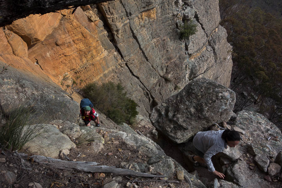
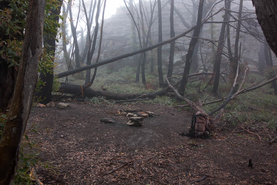
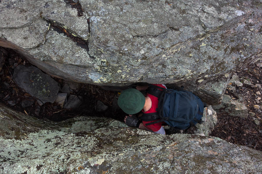
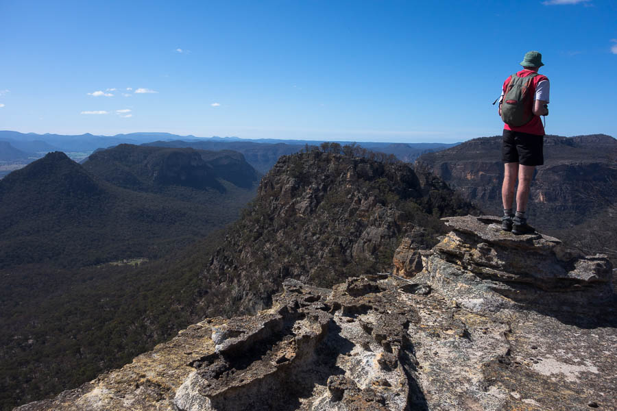
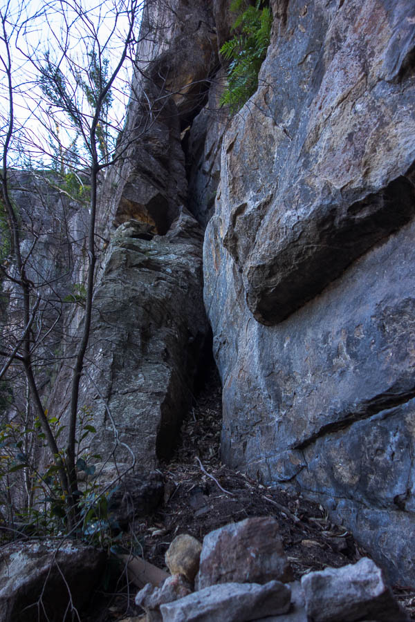
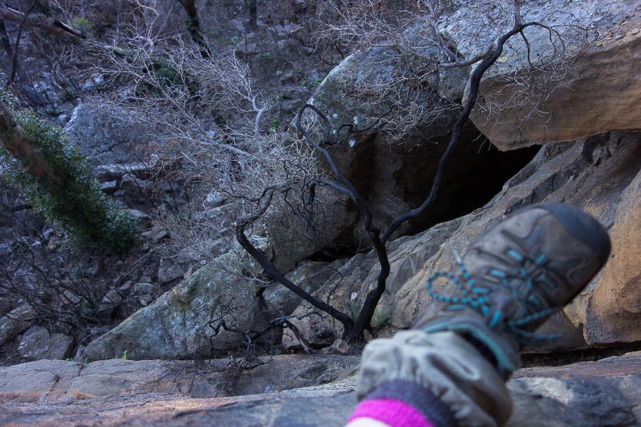
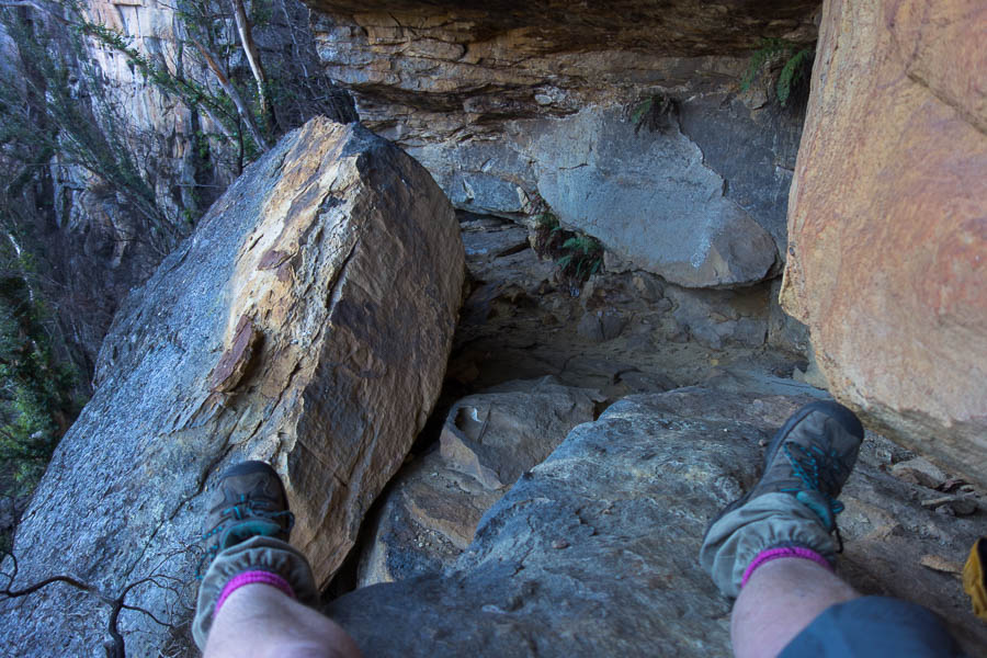
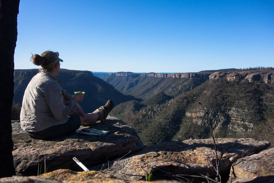
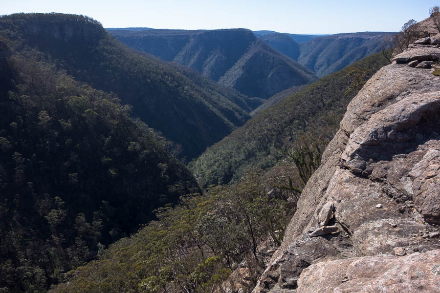
I toyed with the idea of visiting Kameruka Point but decided against it, though in retrospect I should have headed out there as I was at Dog Leg Creek by 2pm. I’d gone down the slab in Pauls Pass before realising this was the tricky bit! Finding Dog Leg Cave directly above the Pass I left my full pack and headed out to Possibility Point.
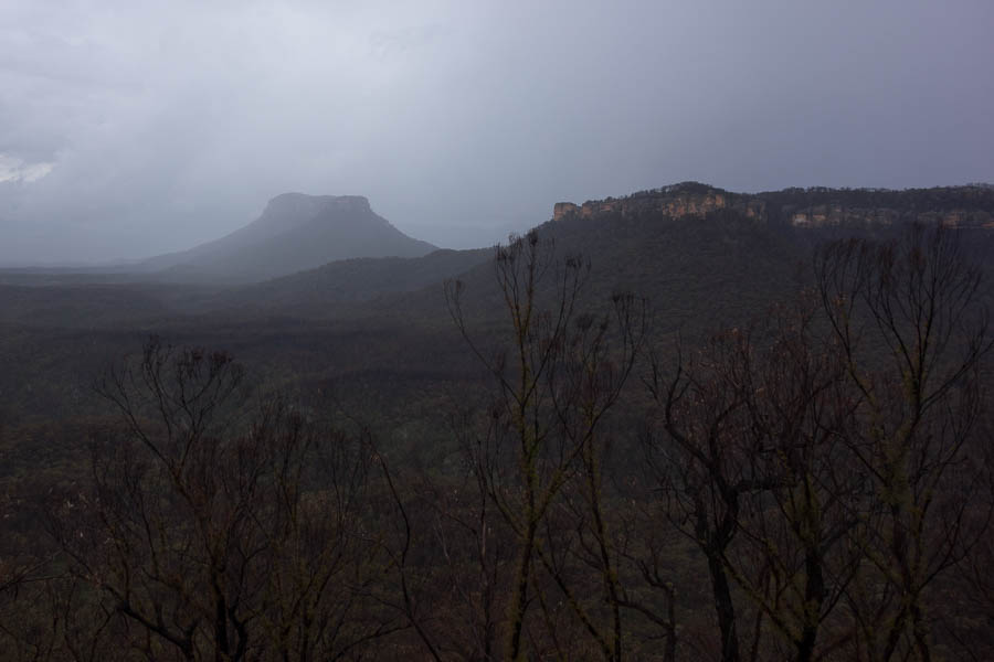
Views out to Pinchgut Hill
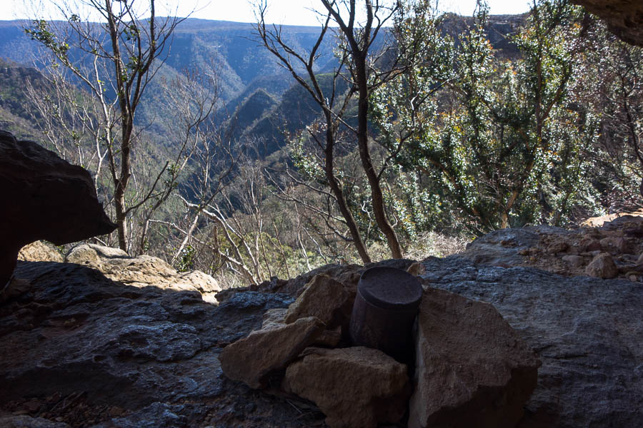
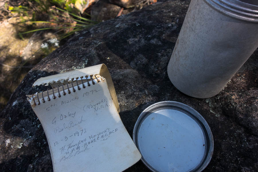
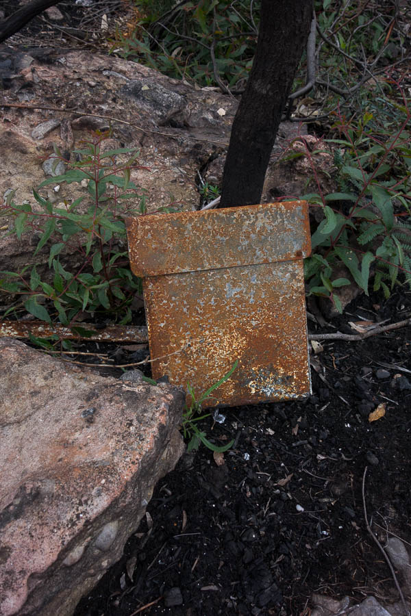
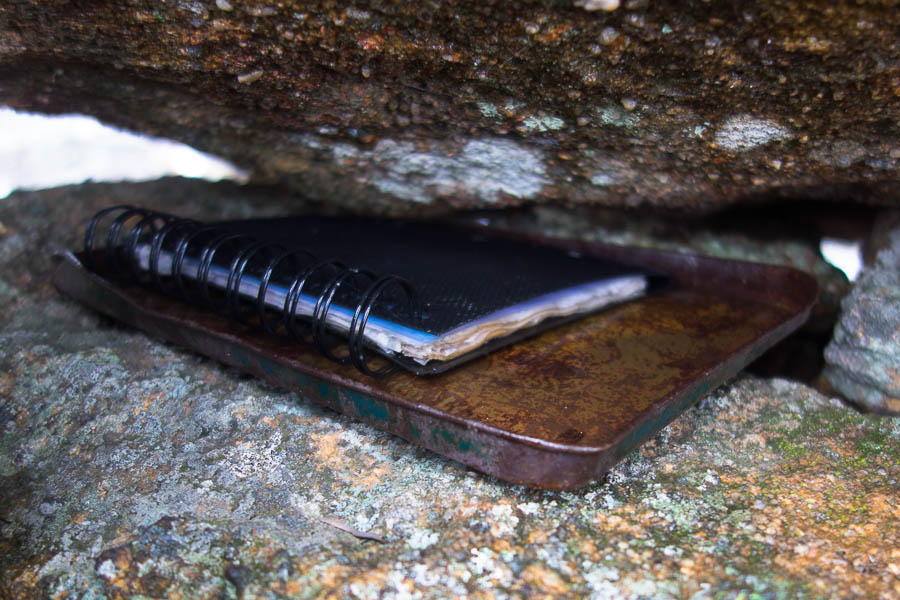
Logbook tin at Paul’s Pass
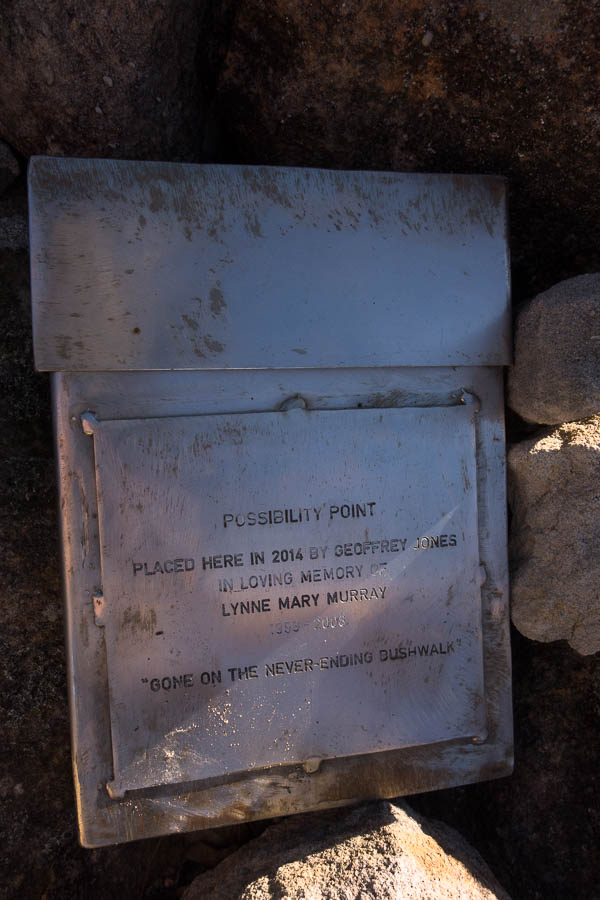
Logbook at Possibility Point. Sibling to the one in Discovery Cave.
It was only the next day I realised that I dated my entries in the logbooks at the Pass and the Point with the 29th instead of the 28th. As I was reading through the log book entries it occurred to me that the “Geoff”, who lived locally, in the party of 3 I’d seen that morning may well have been Marilyn’s “Ettrema Guru” and placer of the logbook containers.
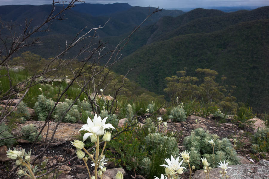
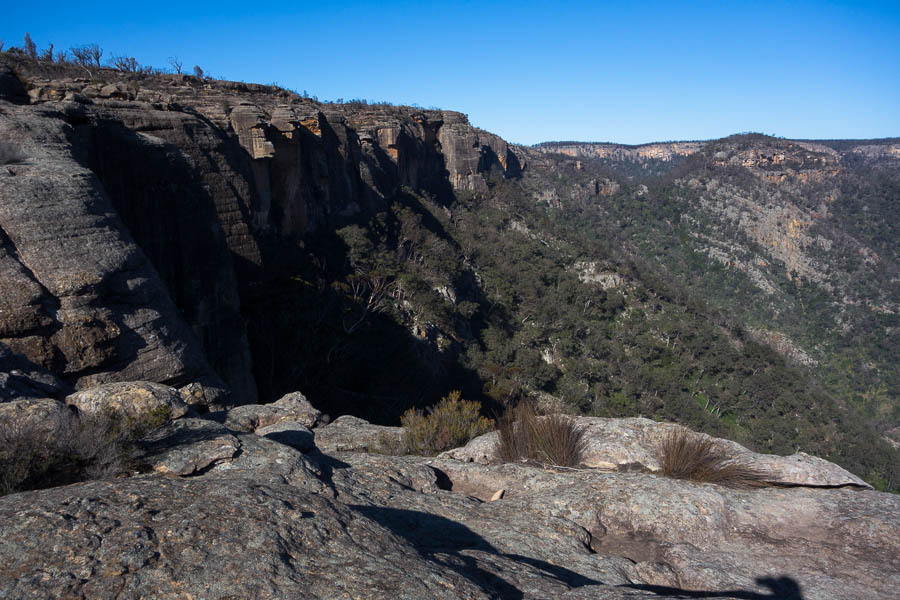
Views from Possibility Point
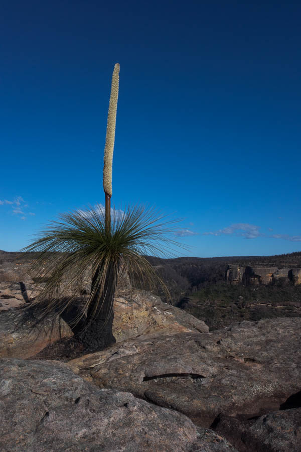
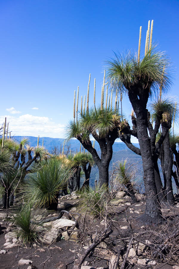
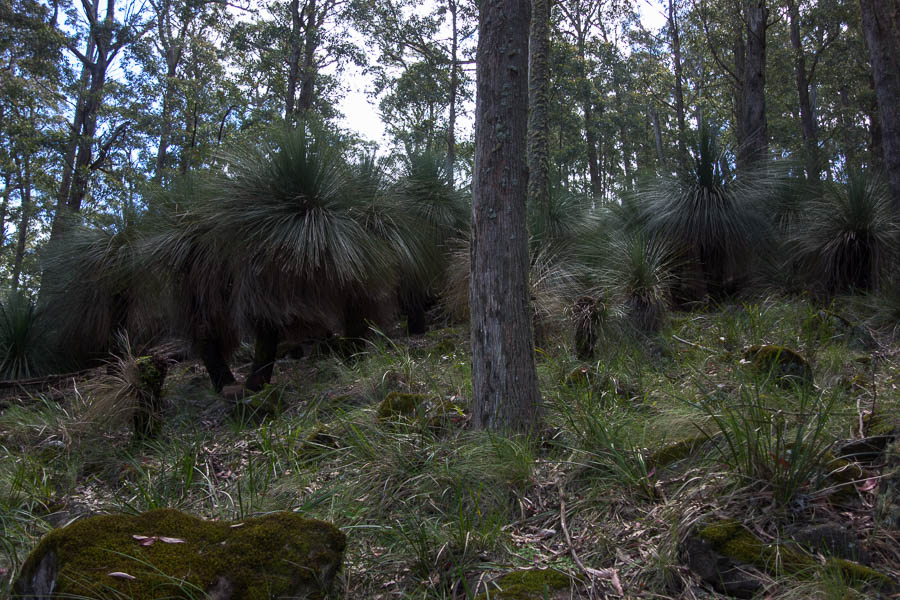
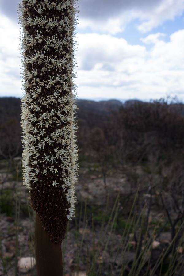
Grass tree
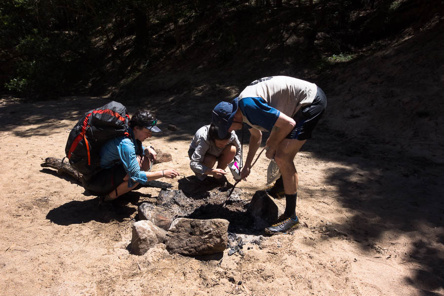
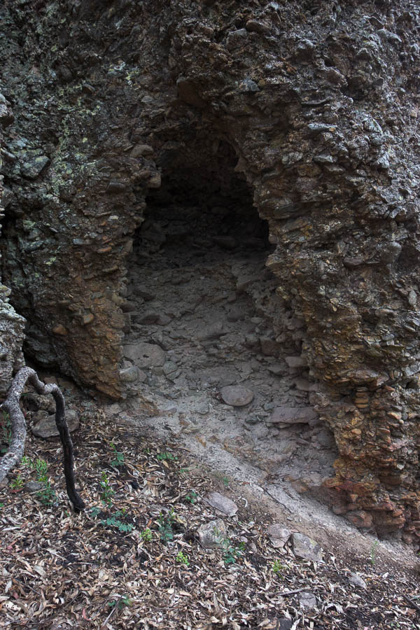
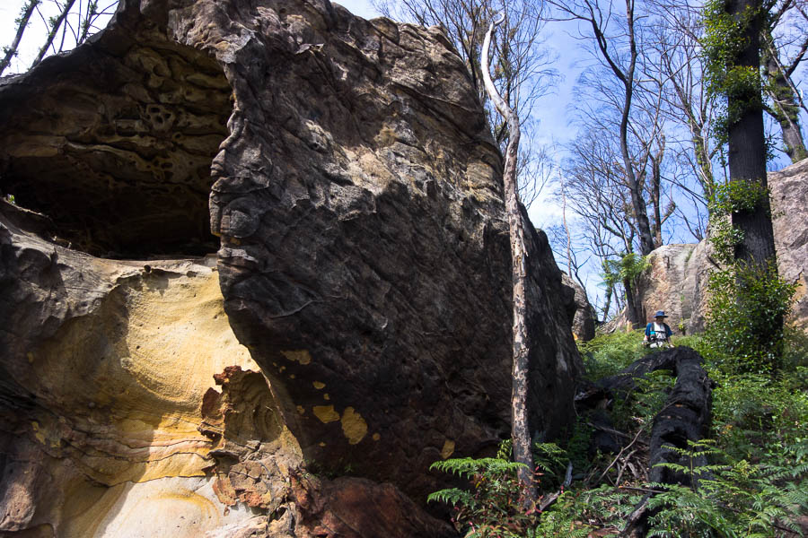
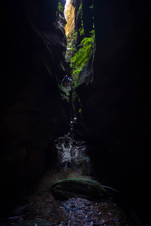
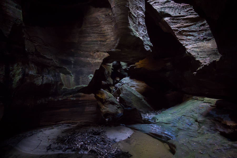
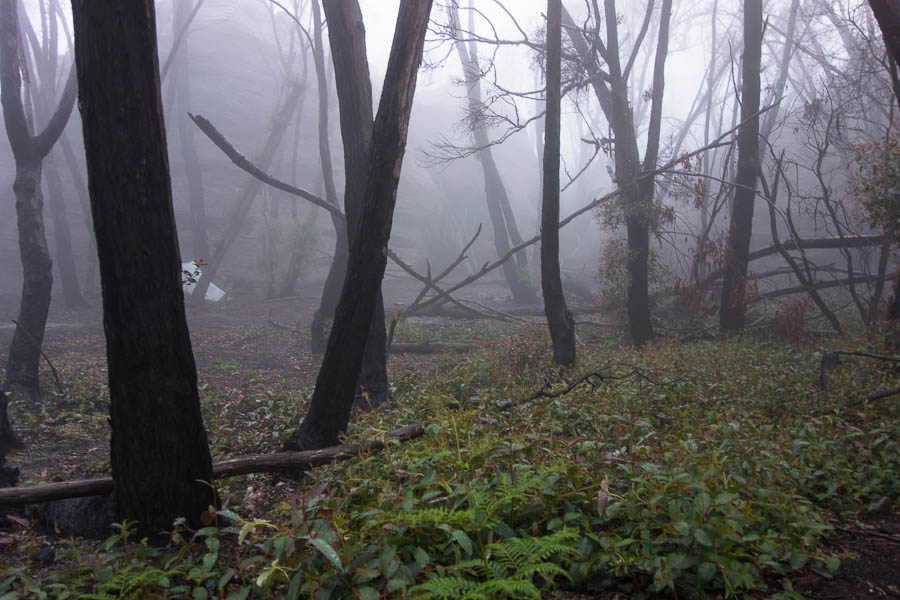
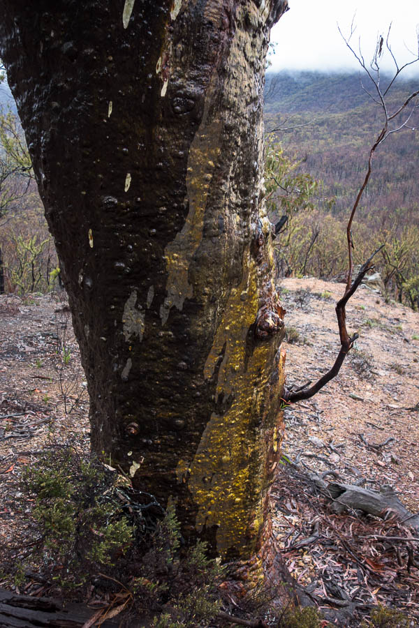
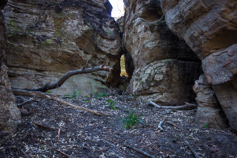
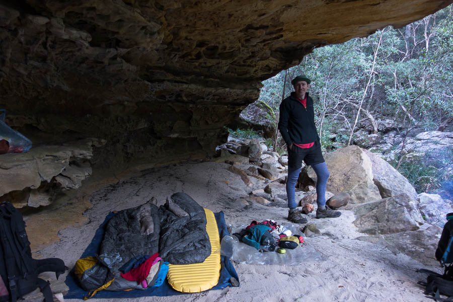
Having plenty of time I did some tidying in the cave. There was a roll of green tape (the type used for marking routes… though more commonly pink) which had unwound itself, so I re-rolled it and tucked it away so it would hopefully stay under control in future. I then sorted my piles of firewood ready to go for later. I guess there may have been a stash of wood in the cave when the fires came through in summer, as the pack of the cave was full of charcoal and the rock looked like it had been scorched. Or it could have just been a tree falling into the cave.
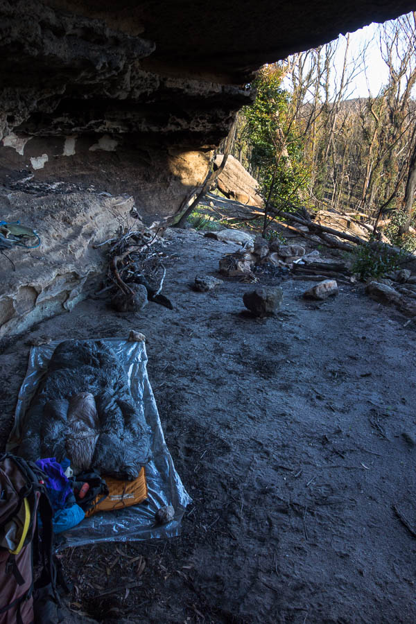
Home for the night (Dog Leg Cave)
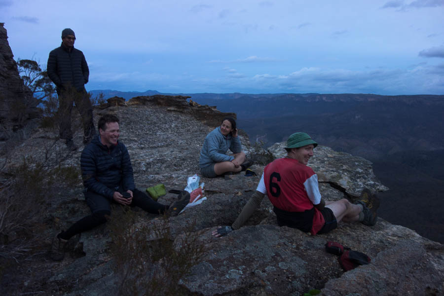
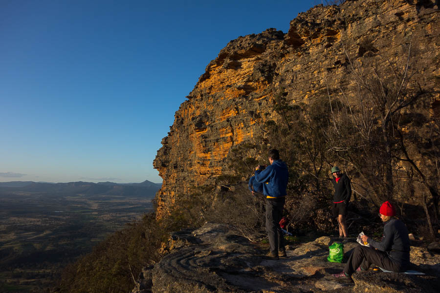
The cliffs opposite the cave were a lovely happy hour spot. It was a bit windy and quite cool though, and I didn’t have the same persistence as Tom would have to sit and suffer until the sun was completely down.
Beaut Happy Hour spot.
Happy Hour light
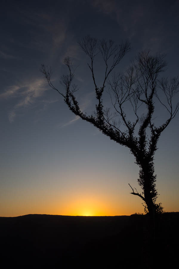
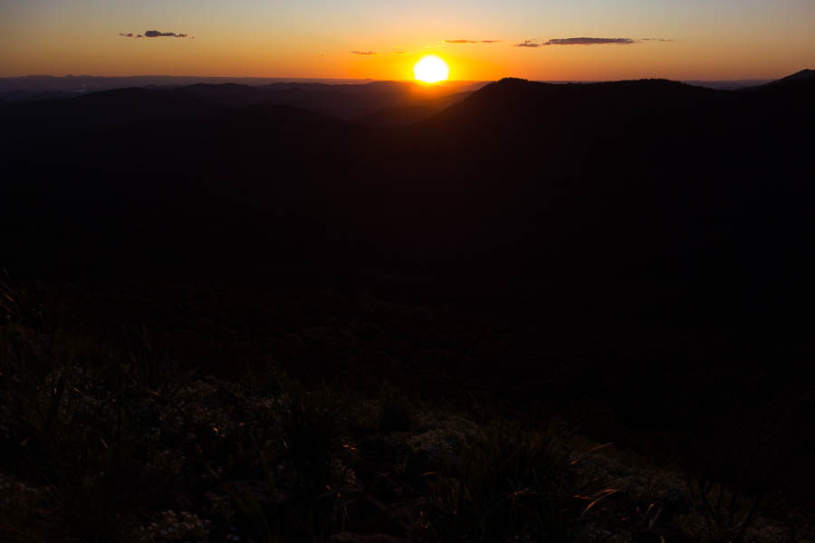
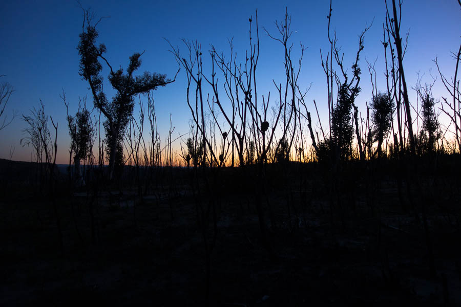
Sunset
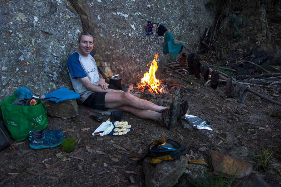
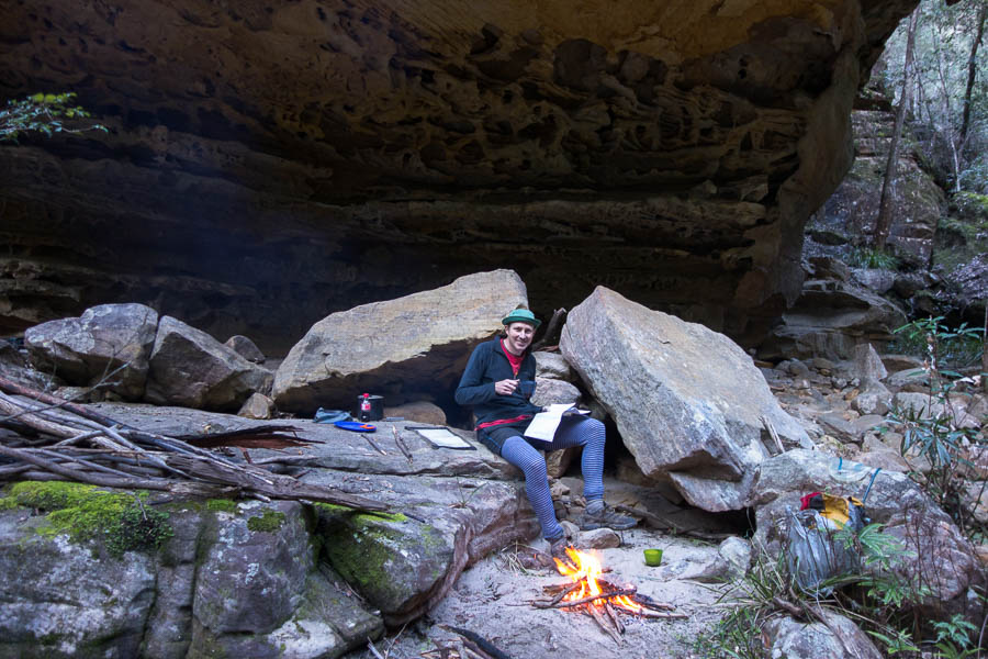
The forecast had been for Friday to be windy, and it was. The fire had a natural bellows on it all evening and I was glad to be tucked away in the cave which was relatively sheltered. I slept pretty well but as the days are getting longer sleeping in becomes more difficult.
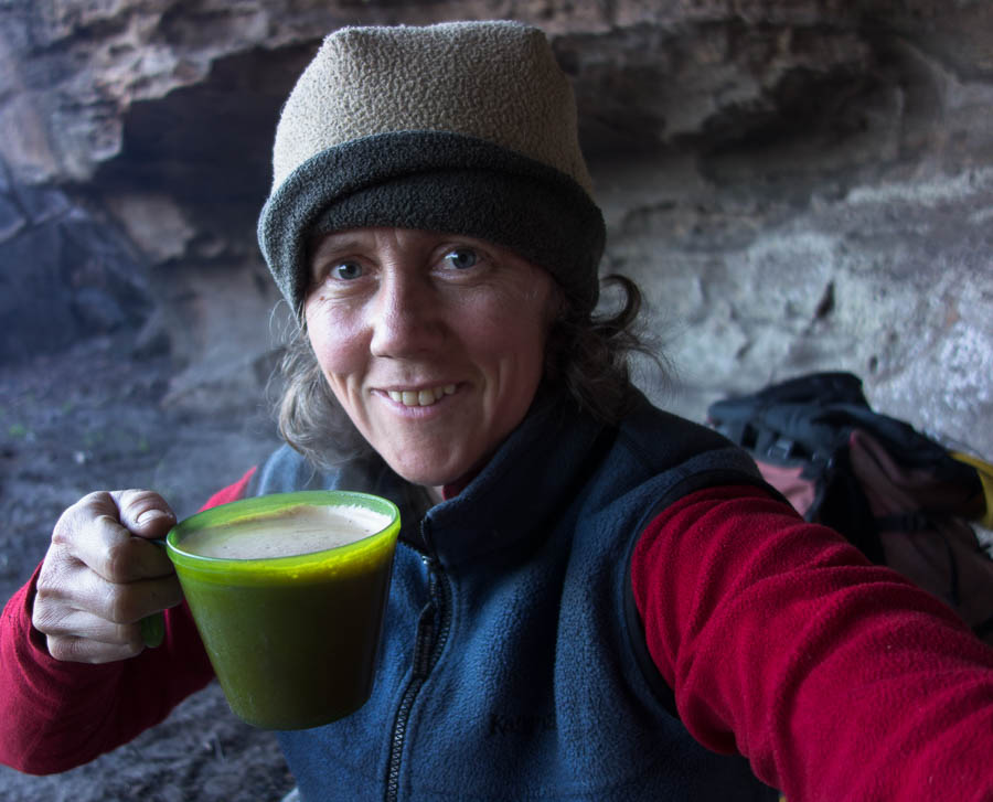
Morning coffee
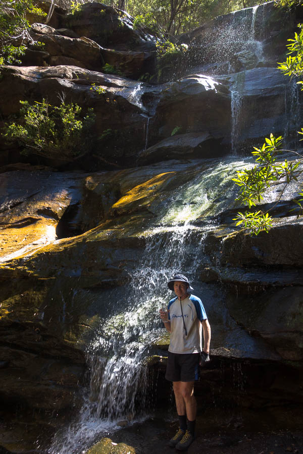
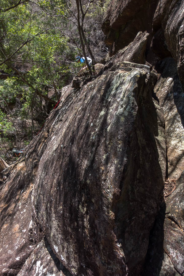
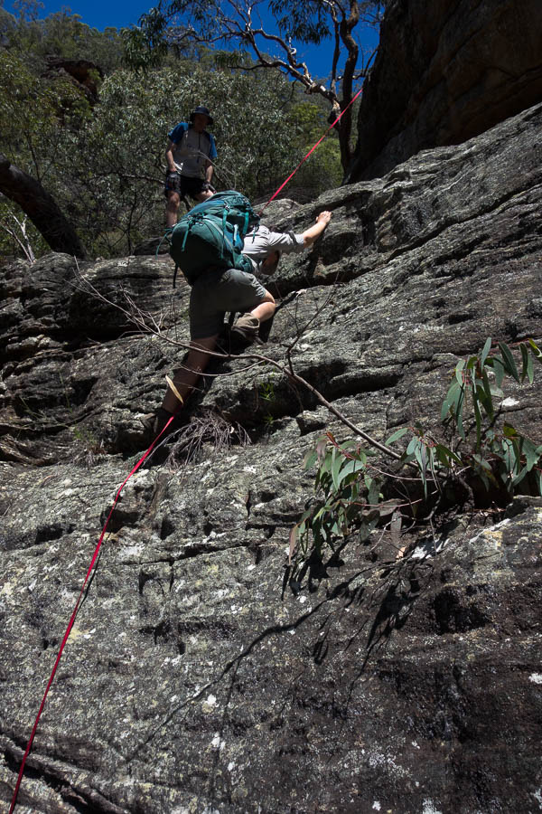
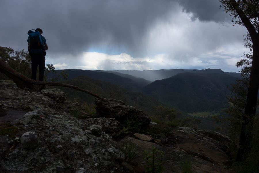
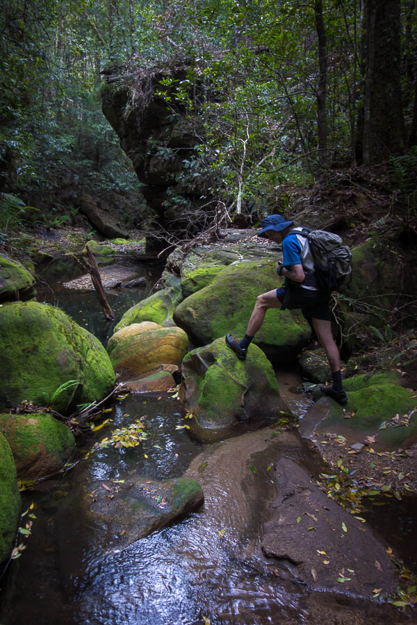
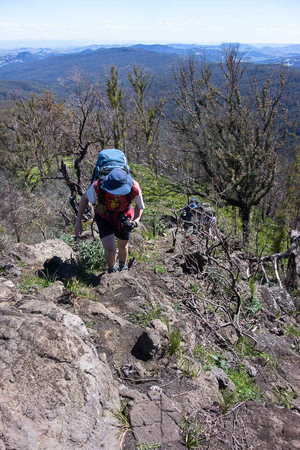
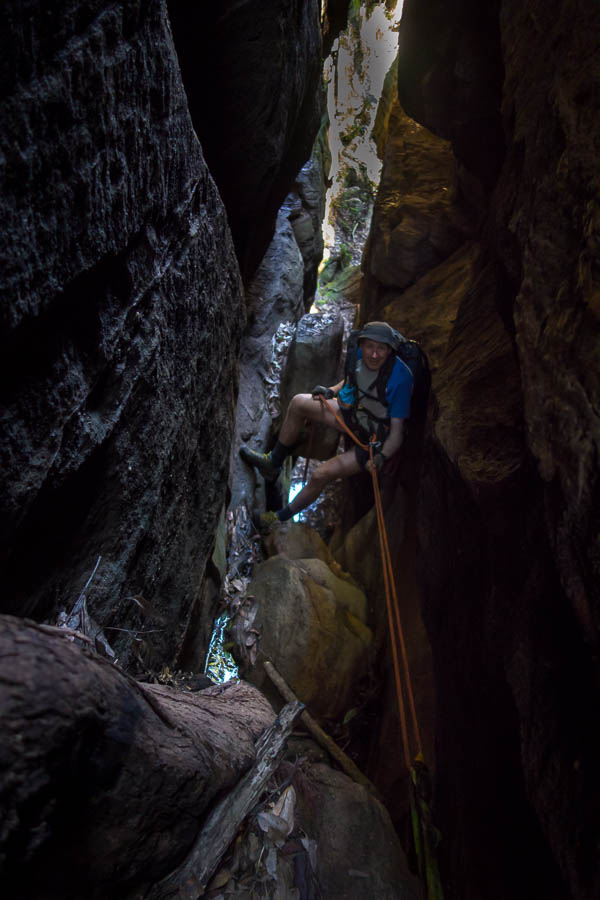
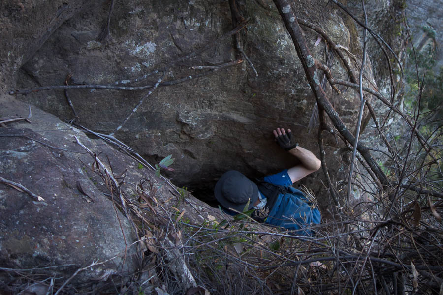
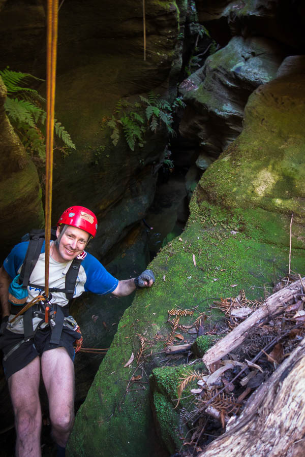
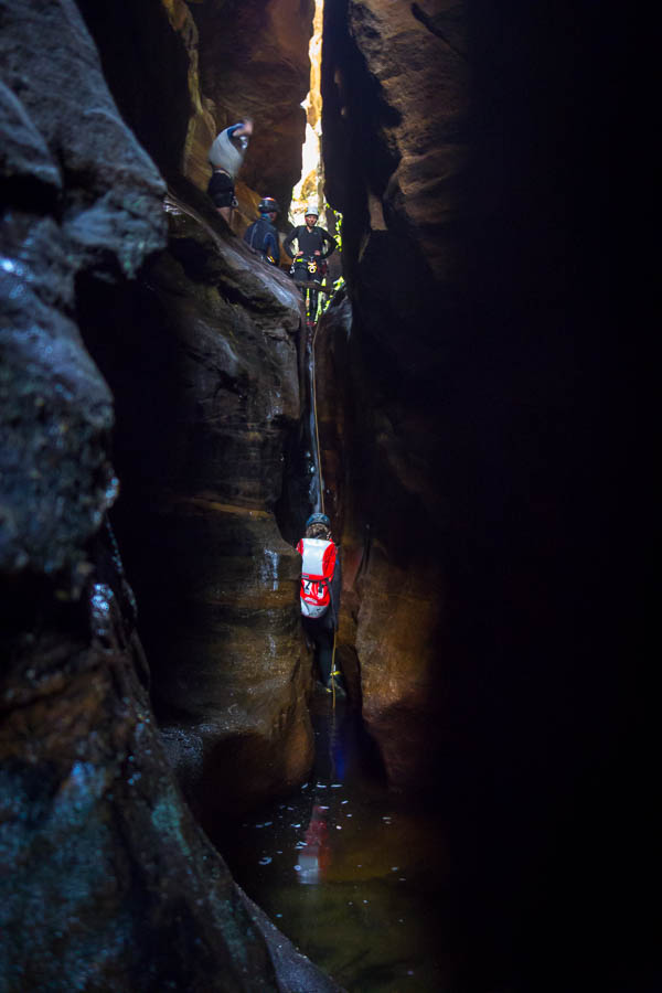
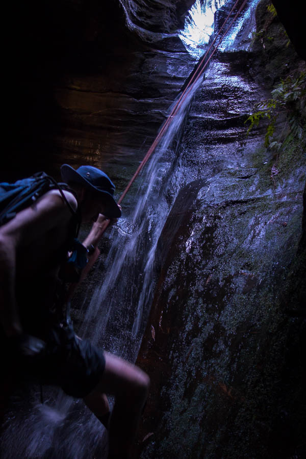
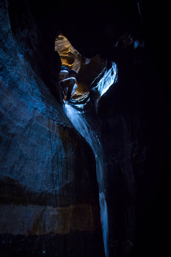
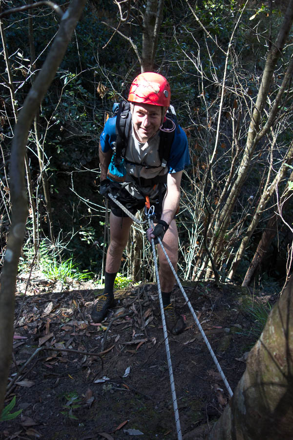
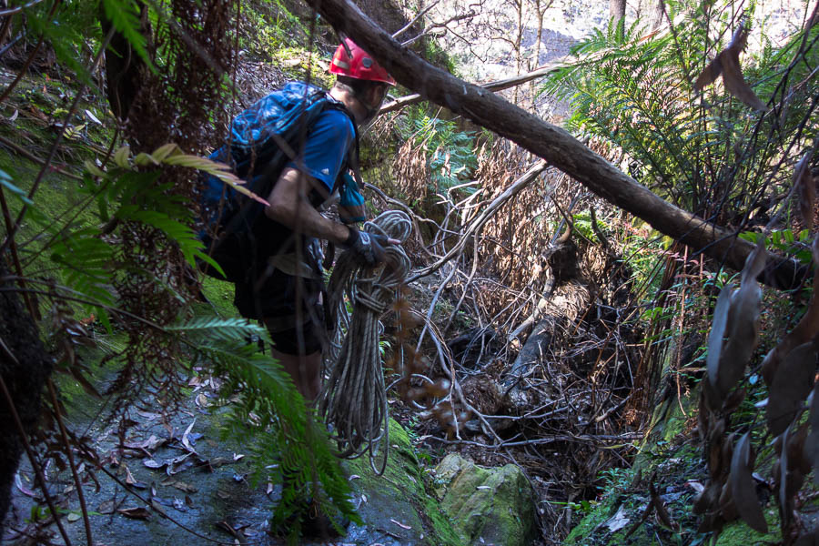
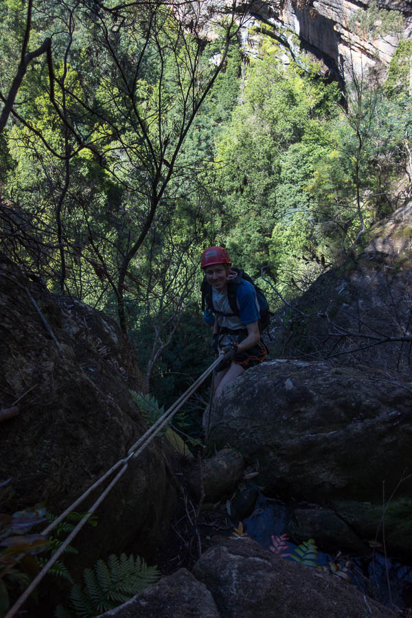
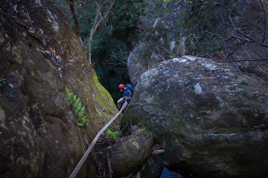
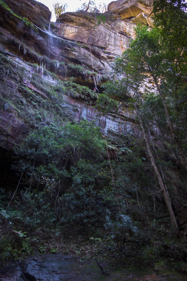
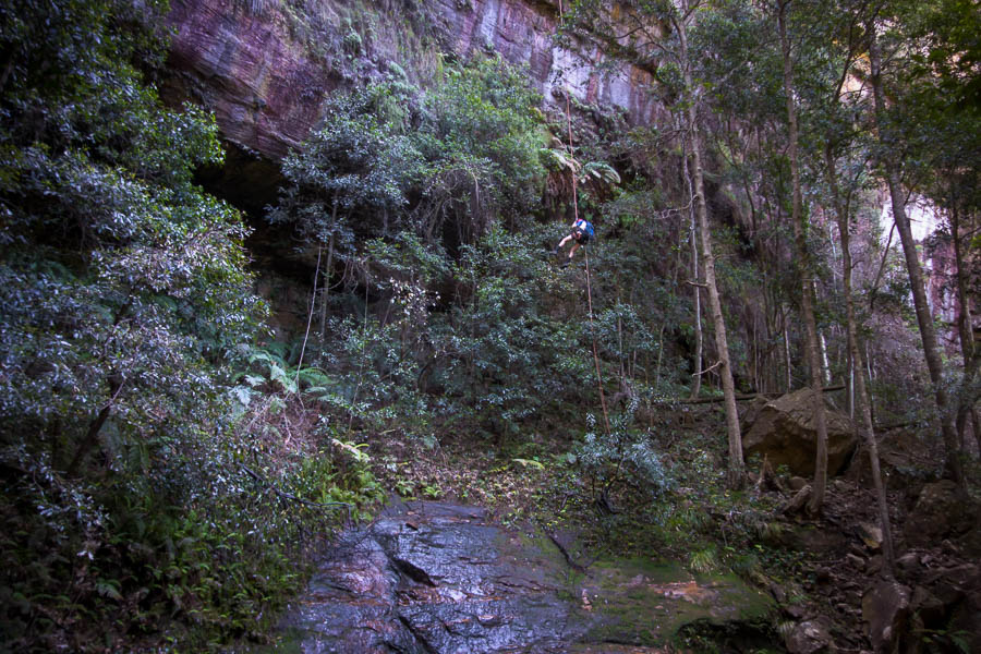
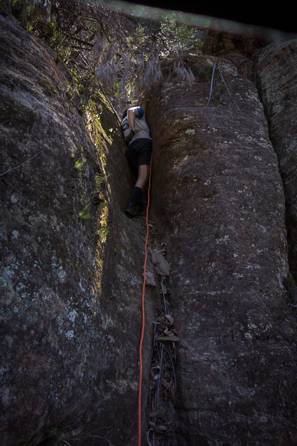
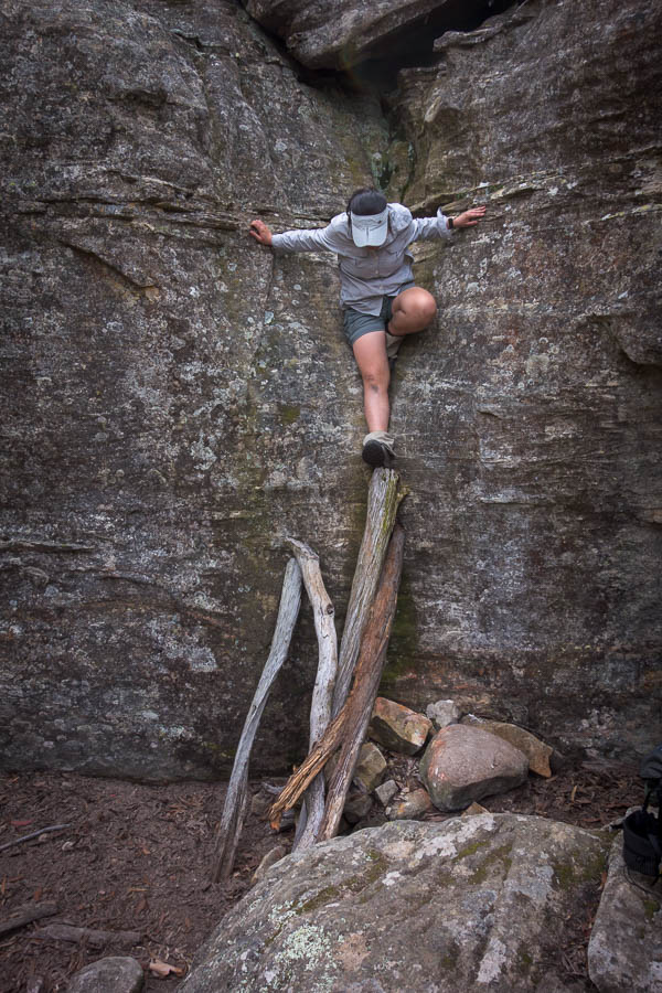
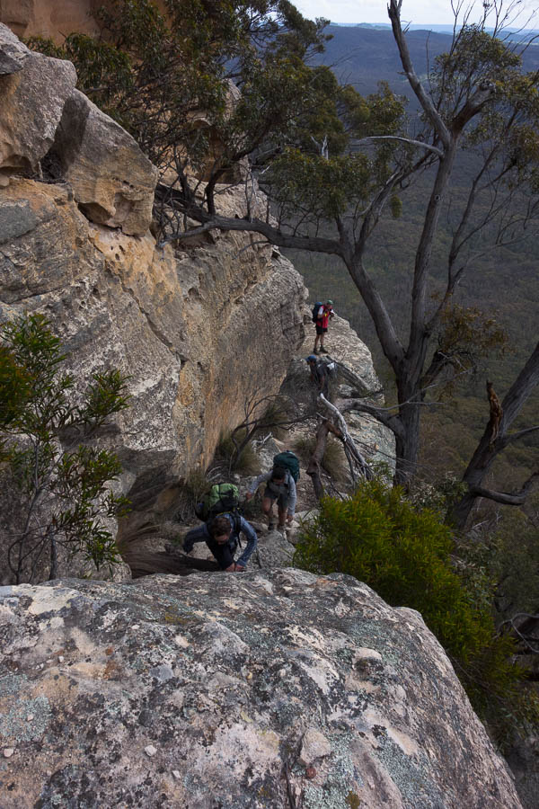
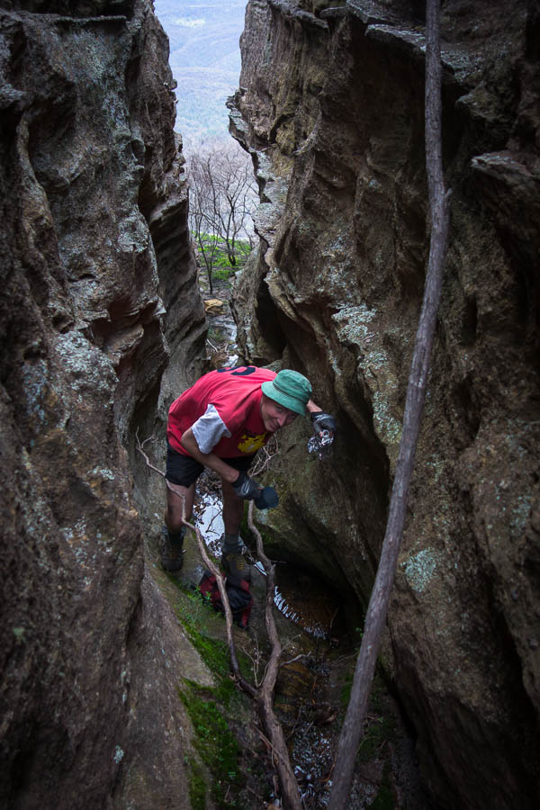
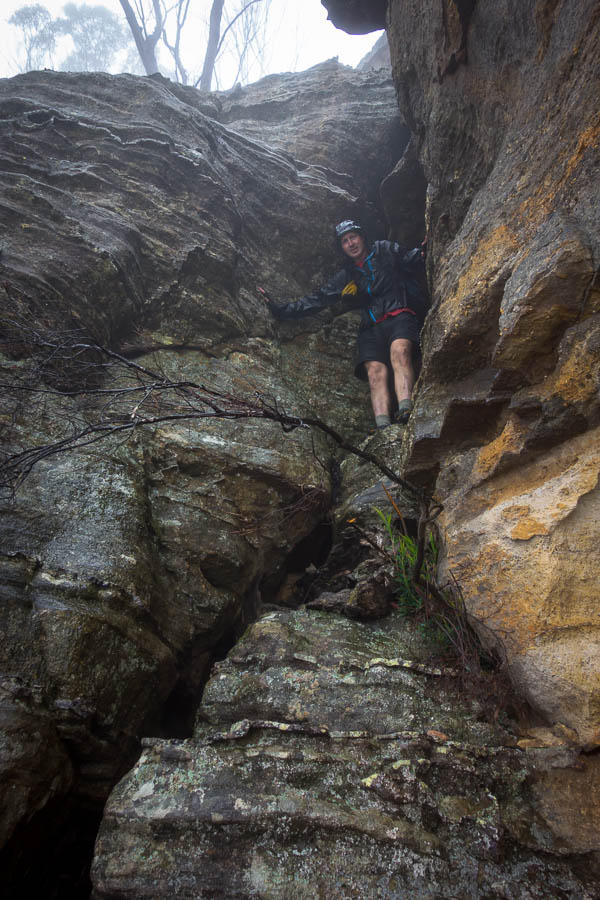
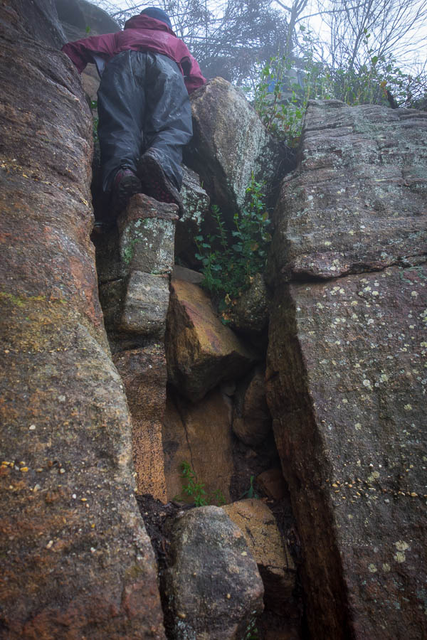
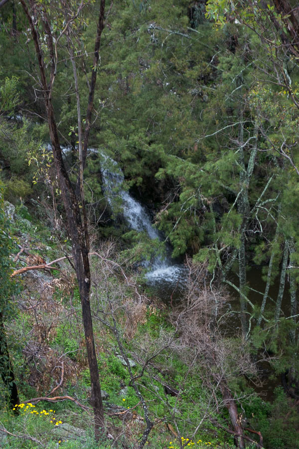
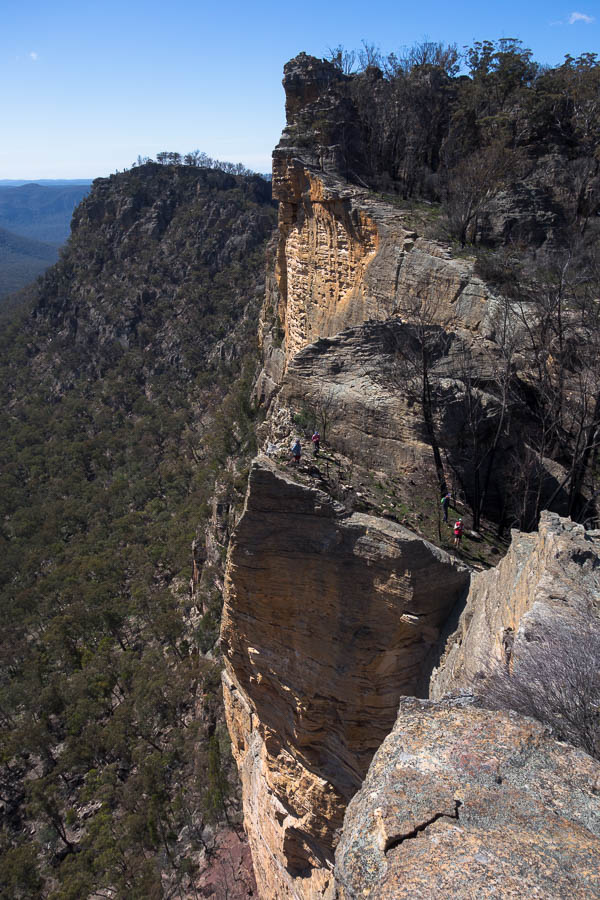
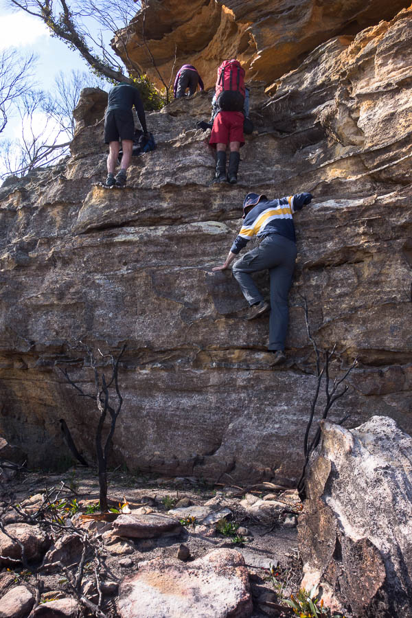
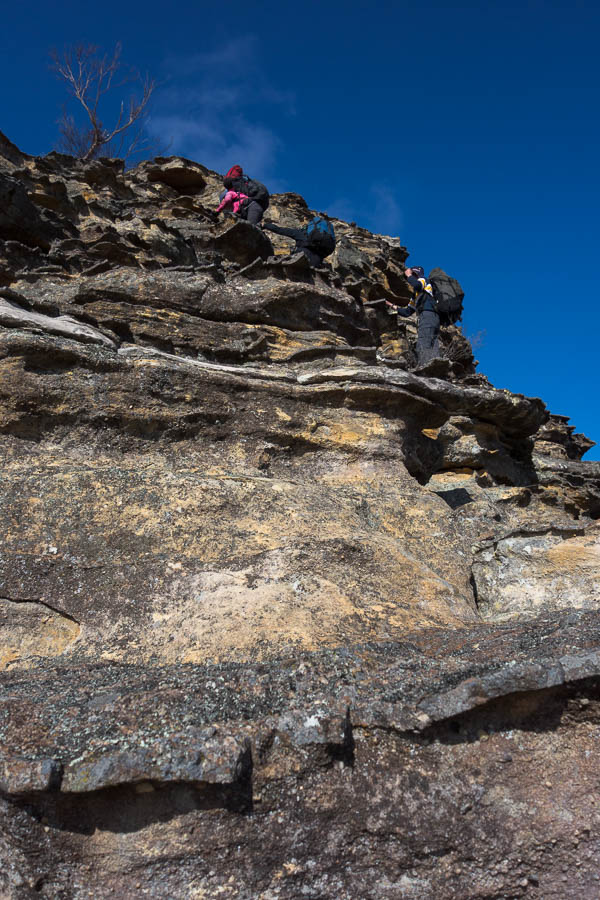
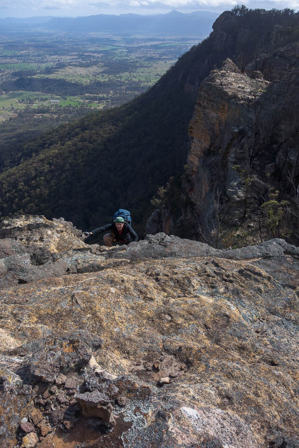
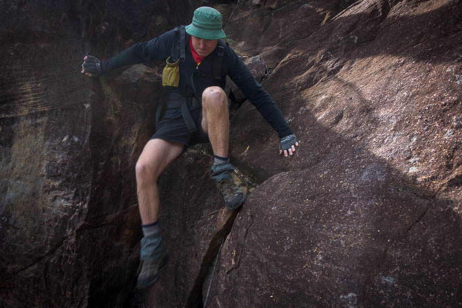
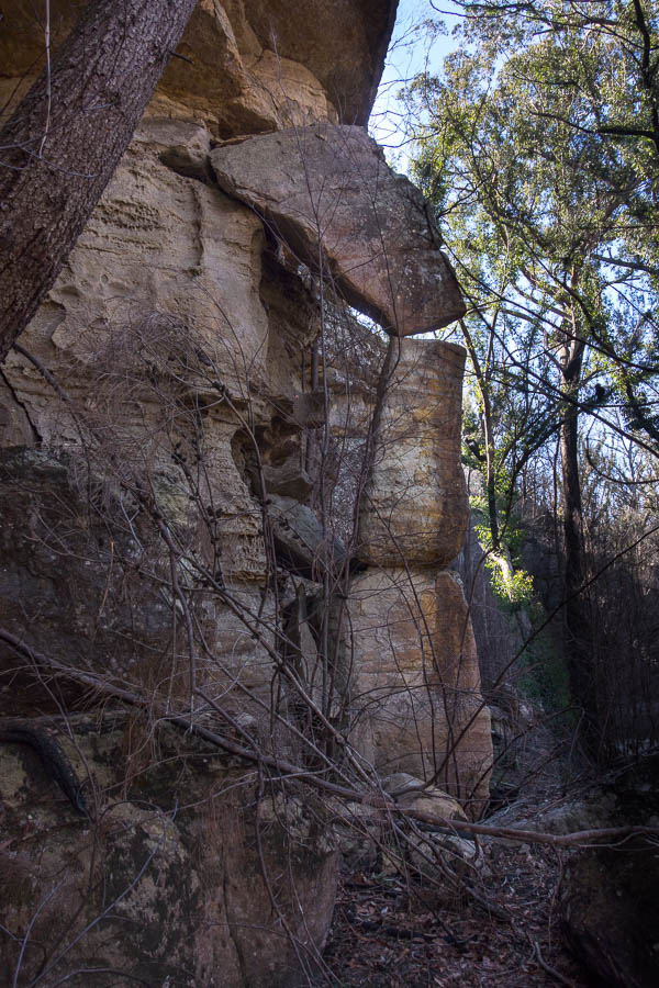
Having read Louise’s entry in the logbook at Possibility Point the previous afternoon, combined with the question from the walkers as I rode past them in the morning, an idea had taken hold. It had germinated overnight. I’d already concluded my route for the next 3 days was not going to fill the days, so I had time up my sleeve for add-ons. Having gone up and down the slab of Pauls Pass the afternoon before I knew that was no issue and the rest of the pass didn’t look technical. I’d decided to try and visit Perryman Falls from the bottom. So at 8am (amazing what happens without Tom to slow me down) I shuffled across the slab again, then squeezed down the narrow crevice and the easy scramble below. What a great pass! (for a history of finding it check out this SBW report) No wonder Bill Capon’s party in 1990 had trouble finding it from the bottom. If you didn’t know what you were looking for I don’t think you’d even consider it would go.
This pass is amazing
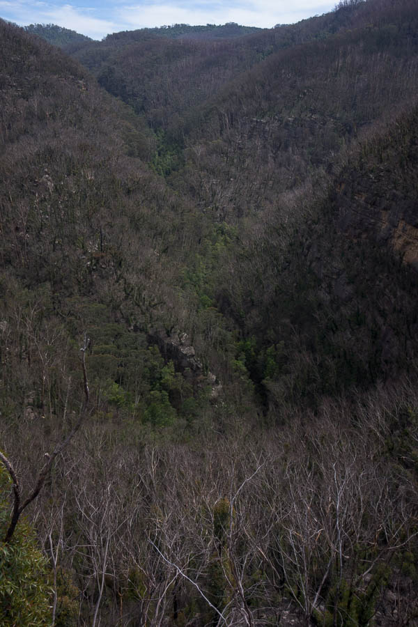
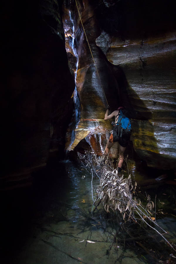
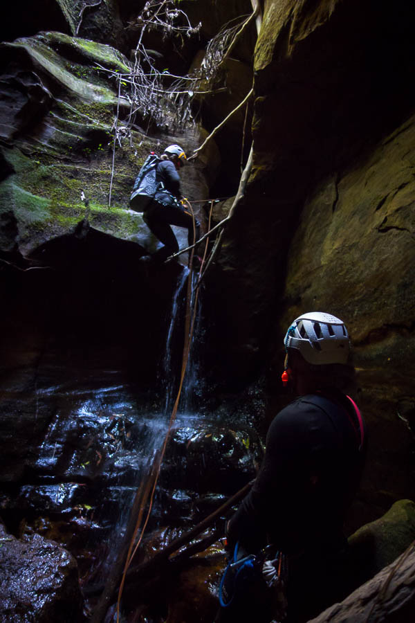
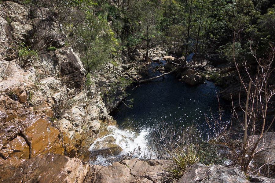
Down the Pass I then had a 250m descent to get into Cinch Creek. I was regretting not researching this before the trip, but I figured it was just going to be a steep descent down a spur. The spur was very steep and my route meandered about. After getting to section where it was even steeper, and I was probably not even a 100m into the descent I decided that discretion was the better part of valour and Perryman Falls from the bottom would have to wait.
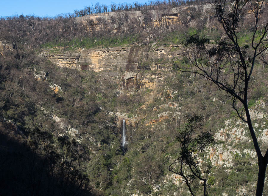
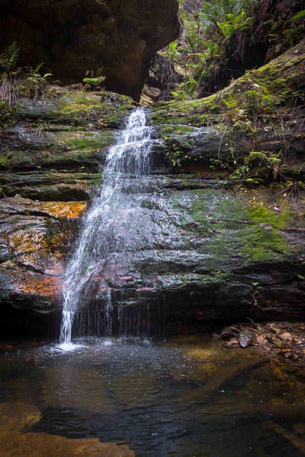
Perryman Falls in good flow
Slogging back up the hill I looked up and suddenly was face-to-face (well at 20m) with a koala!! Needless to say I was pretty happy with my decision to abort. I have never seen a koala in the bush in NSW and this was not somewhere I would have expected to see one. We eyed each other off for a few minutes, I took some photos. Then I left it in peace as it was clearly aware of me, but didn’t go anywhere.
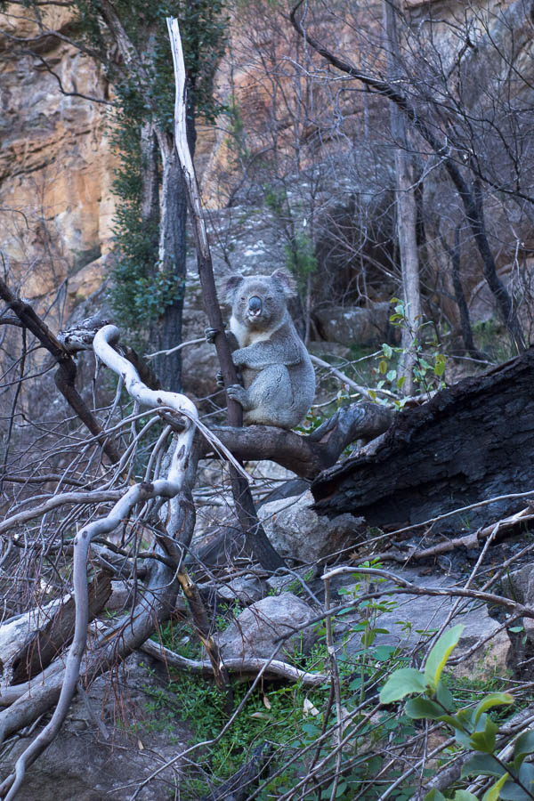
Well, here’s a first for me in NSW!
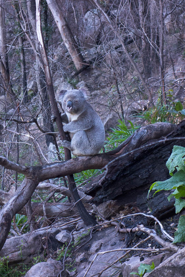
I figure I can indulge in two photos – it’s such an unusual sight
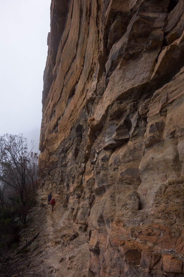
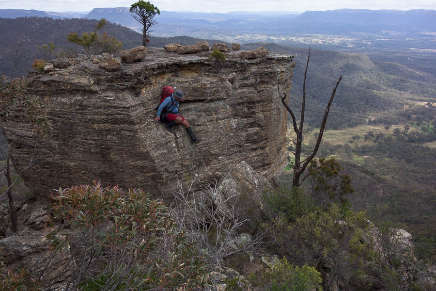
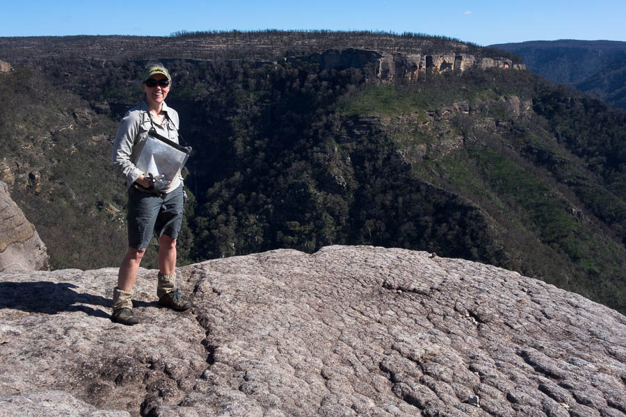
Exposure on Pauls Pass
Looking down the slab
Back up Pauls Pass and to my main pack, and off on my original intent for the day by 9am. I followed the cliffs around until I could drop into the upper reaches of Cinch Creek.
How long till it collapses?
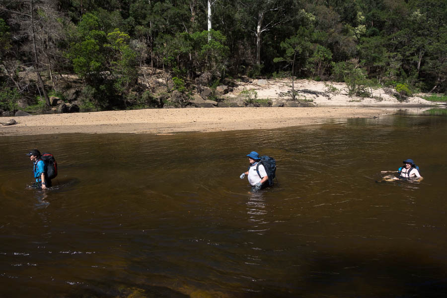
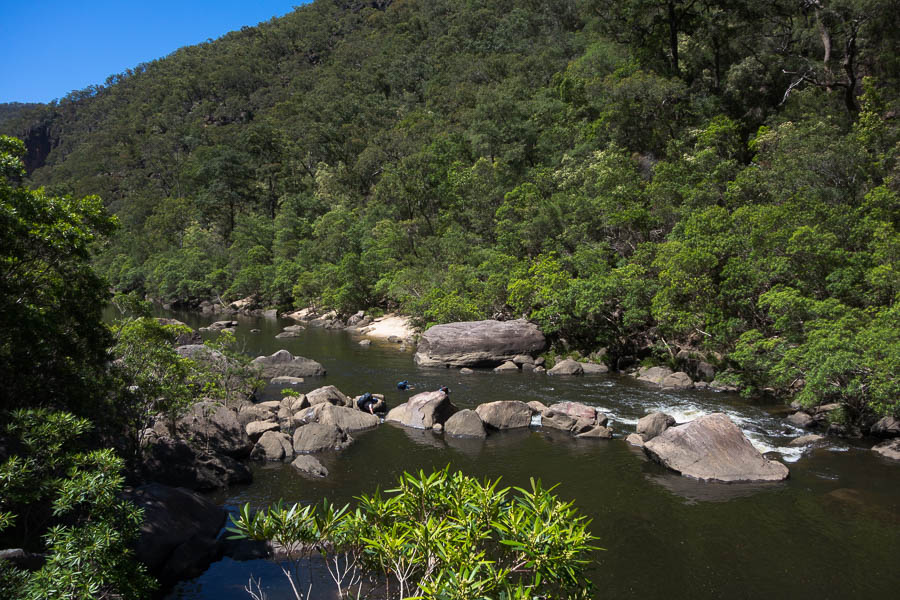
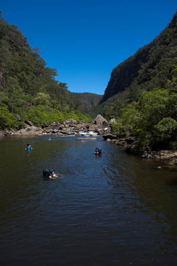
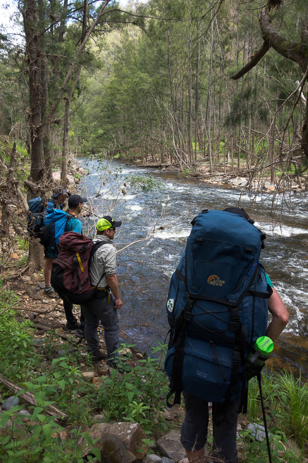
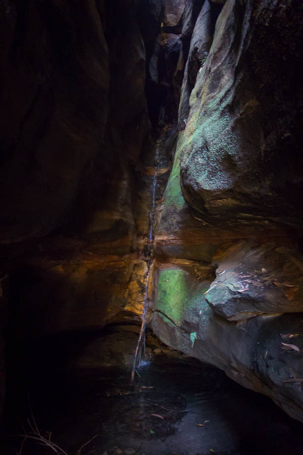
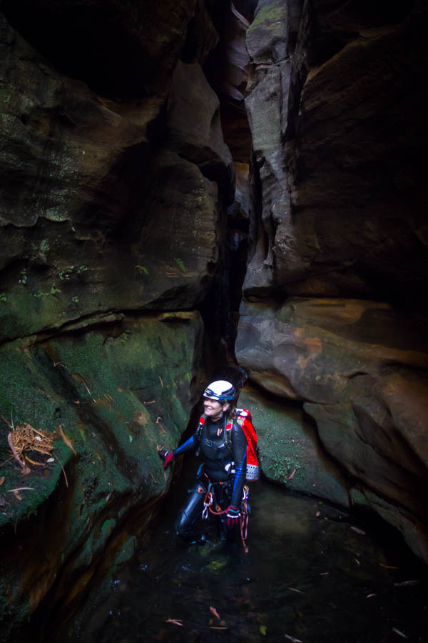
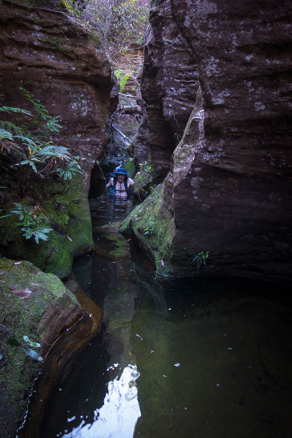
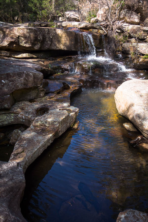
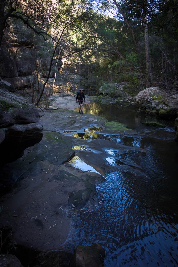
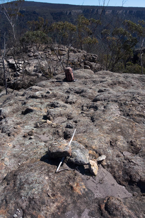
Leaving my pack in the middle of the creek (probably the most worry I had on this trip was that I could be able to find my pack each time I left it) I set off to see how far I could get. The creek was quite bouldery and flowing well so it required a bit of effort at times to make my way down. Eventually I got to the top of a fall which I couldn’t get down or around. Sadly this was not Perryman Falls – about 200m upstream of it, so my attempts to reach the bottom and the top both failed. (Sorry Marilyn, this was the same spot you got to)
The termination point for my explore down Cinch Creek
Morning tea in Cinch Creek
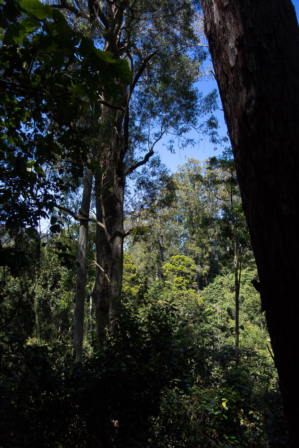
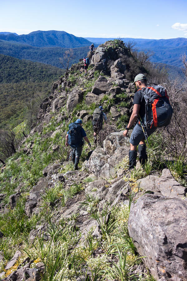
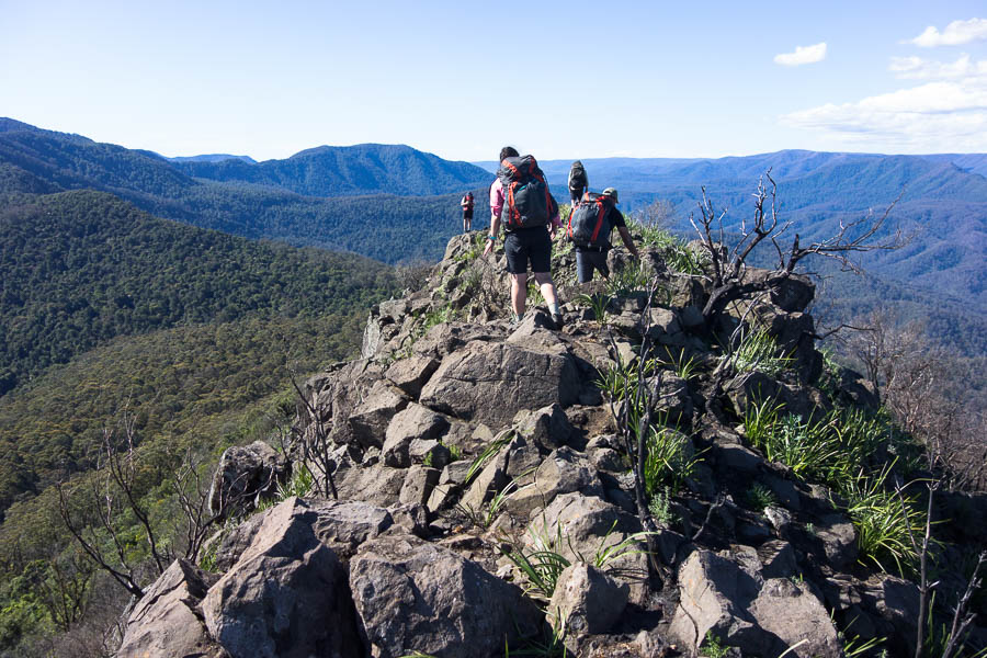
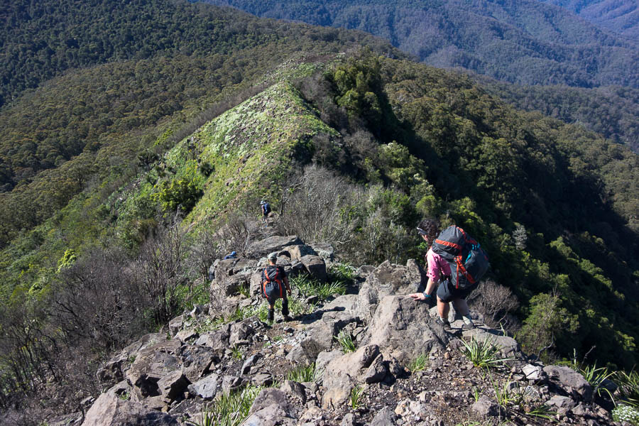
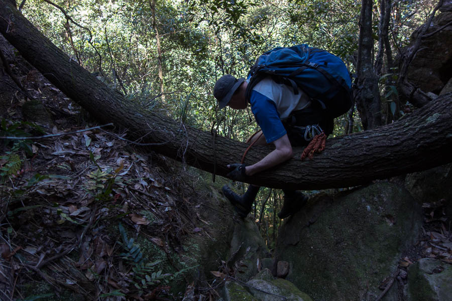
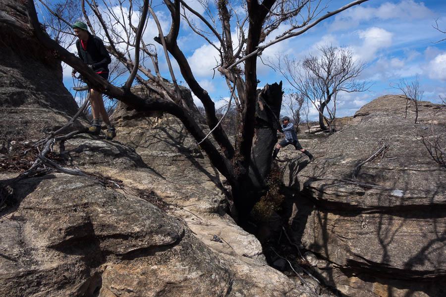
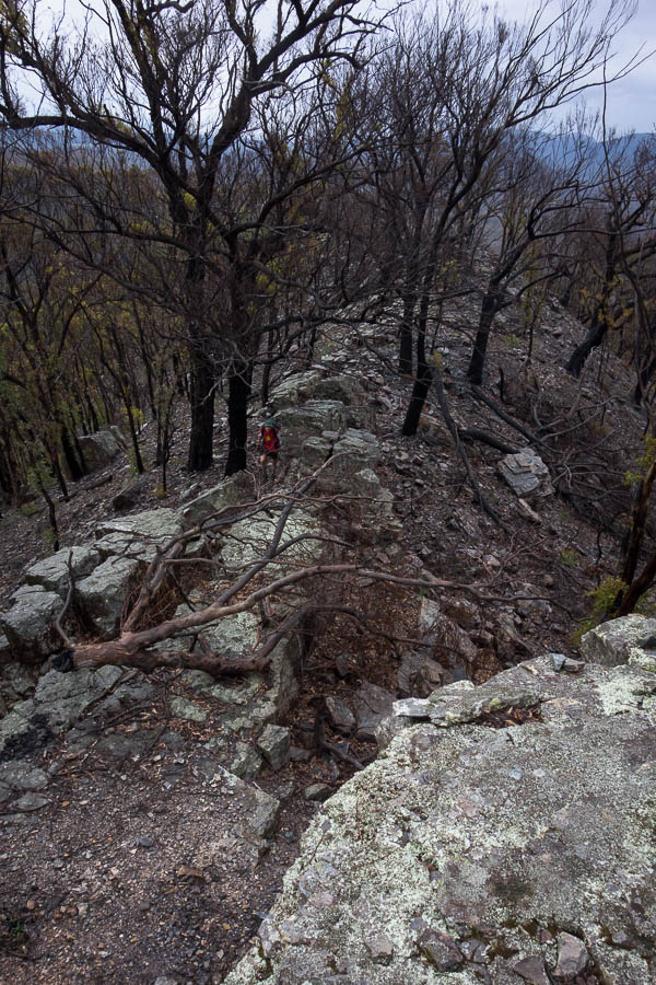
Going back upstream I climbed out on the true right and largely followed the cliff line back to my pack. This was less effort than climbing back around all the boulders – though I did end up a lot dirtier. After a big drink and a bit of wash in the creek I headed out the other side and on to Pinchgut Hill. It looked like it would be easy walking without the fire as the top was largely rocky. I wanted to check out the top of Pucket Pass for future reference. I didn’t know anything about it. There were a couple of cairns so I assume I found the top of it, there was one slightly awkward scrambly move which I had to do to get out to my lunch spot, but nothing particularly difficult.
Presumably the way to Pucket Pass
After lunch I retreated off Pinchgut Hill – in my original plan I had intended to camp here, but with the travel being so quick I was severely under planned. Down at the saddle I realised I was quite tired and decided to have a rest in the shade. One of the downsides of being out by my self is I don’t have anyone (Tom) to slow me down, and my breaks had all been pretty short. I enjoyed a nap and watching the birds. The birdlife seemed far more prolific than when I’d been in Ettrema since the fires. I’m not sure if it was just because I was closer to Ettrema Gorge which didn’t seem to have been burnt, or whether the few weeks since I was last here was enough time for life to return.
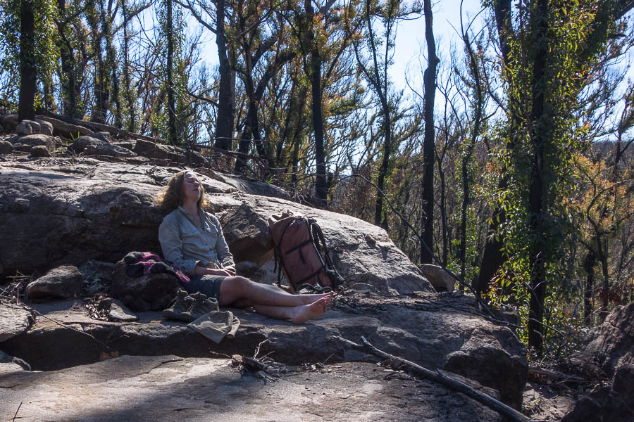
Early afternoon nap
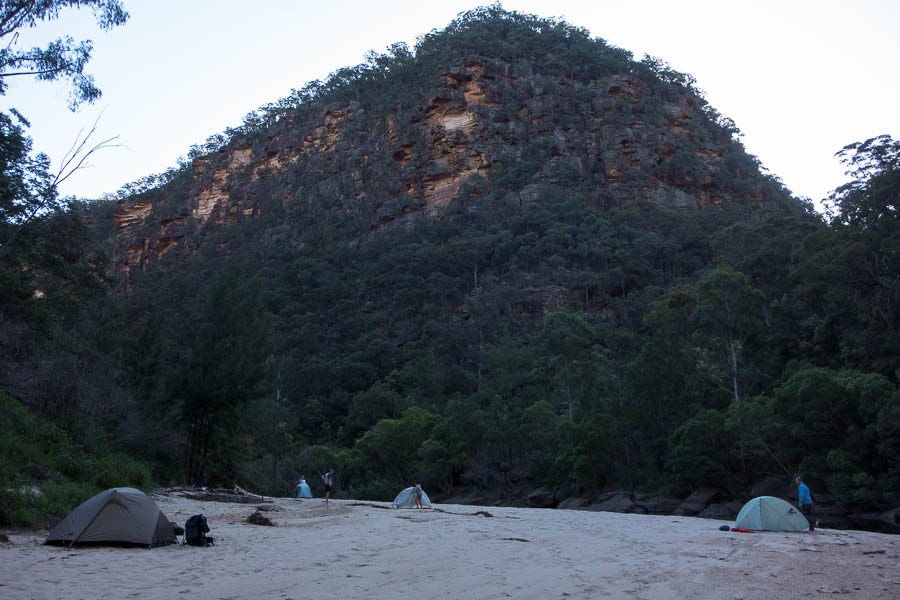
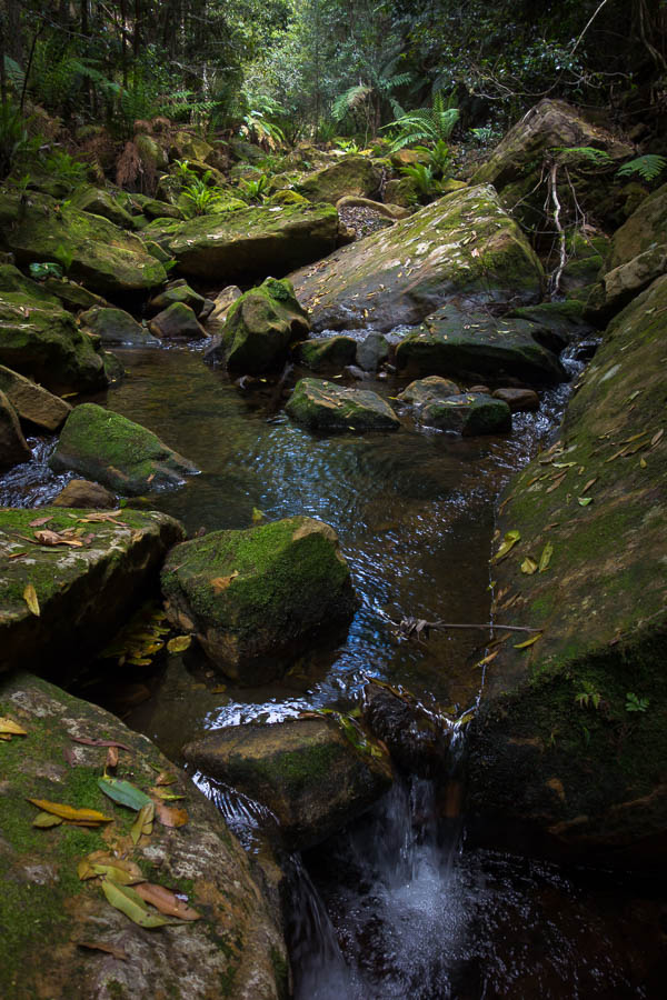
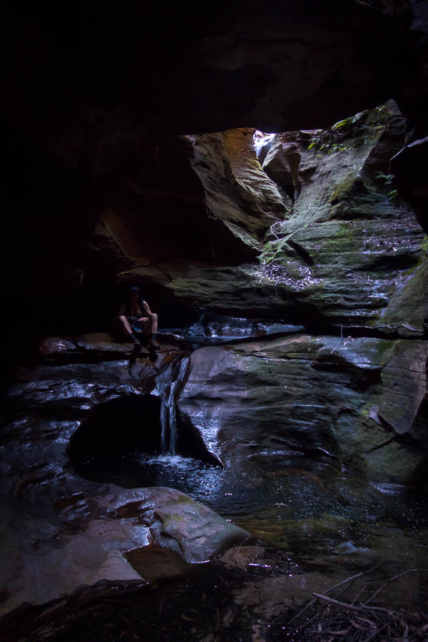
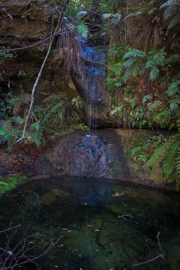
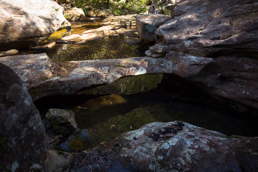
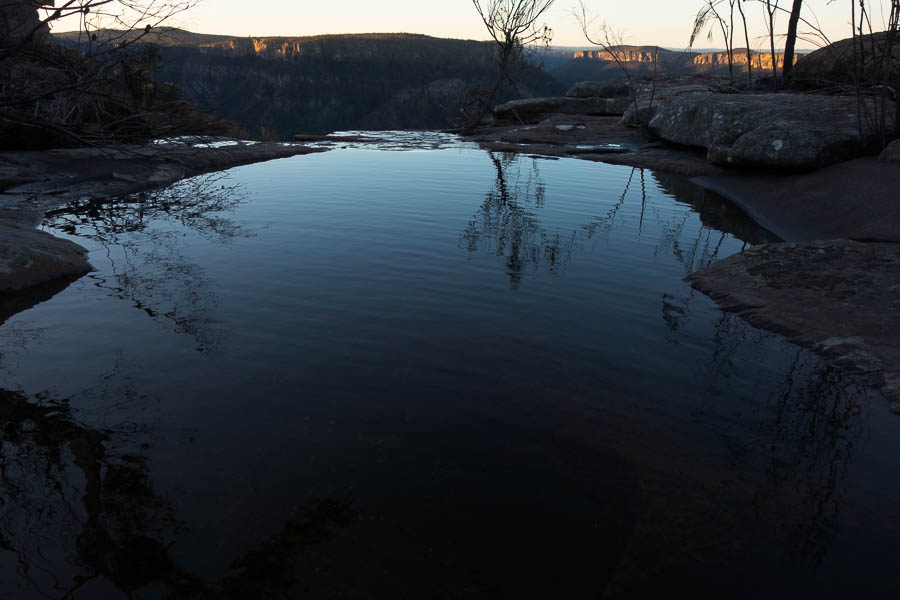
I didn’t have a spot in mind to camp, vaguely thinking I’d aim for Tompkins Head, but when I got to the waterfall south of it I knew I’d found my spot for the night. A gorgeous series of cascades and pools, rock slabs for relaxing and a flat area to camp on. The only detraction (and this goes for the whole area at the moment) is you’ve got to be quite careful with where you pitch your shelter as there are numerous burnt off spikes waiting to pierce your groundsheet. It was a nice warm afternoon and the pools were still in sun, so I quickly had a dip while I was still hot enough from walking. I may not have got my Kimberley trip this year but if I imagined it 10°C warmer I could have been there.
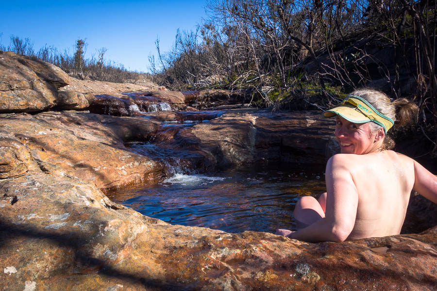
Spa time!
5 star spot
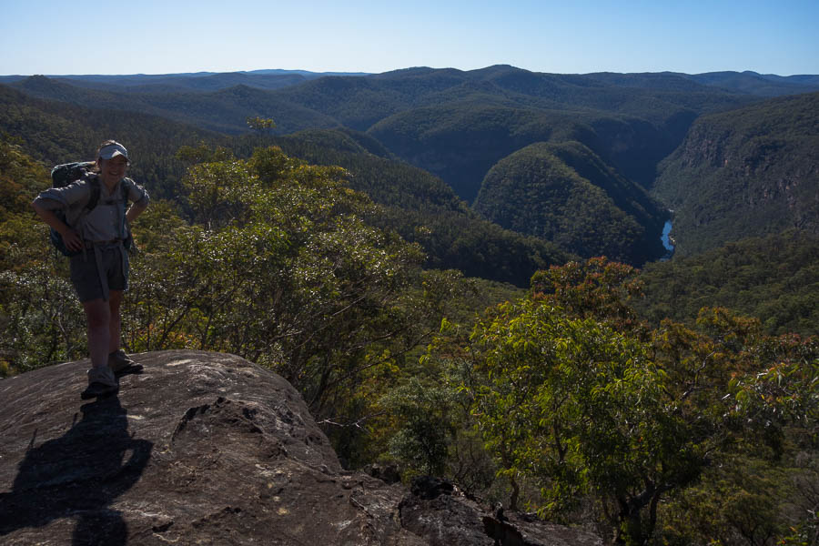
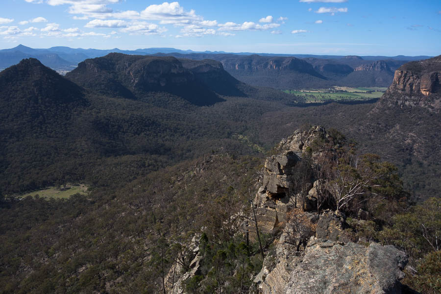
Afternoon tea views looking back to Pinchgut Hill & Possibility Point
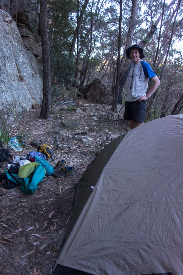
When I told Tom I was heading out solo, he informed me he was going to go for an easy overnight solo trip. I realised we were going to have some gear contention. It’s not that we don’t have multiples of pretty much everything but there’s the bit of kit you want to take… and the runner-up piece which does the same job but isn’t as good (probably cause it’s twice as heavy). So it was with our lightweight fly – Tom wanted the fly, he’d assumed I was taking the tent. No way was I carrying 2kg of tent with the forecast as nice as it was. Hmm, but I didn’t really want to take the heavy fly. Imagine my delight when I went down to the garage to check out the options and emerged with a Gossimer Gear shelter. Turns out Tom bought it about 10 years ago and only used it once. Weighing in at less than 400g it weighed less than the contentious fly!
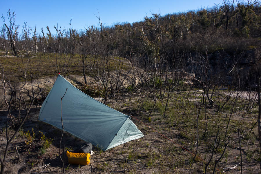
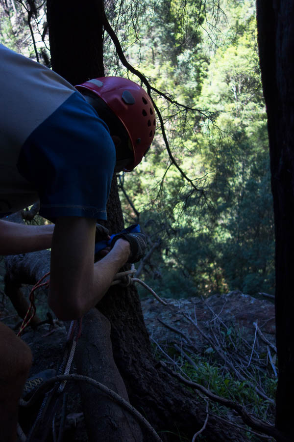
First time using this shelter
Sunset
Overly ambitious pile of firewood (the large piece on the fire kept me going all evening!)
The wind picked up as the sunset. I was hoping it would settle down as it got dark, but it didn’t. I was a little surprised because I had (unusually for me) looked at the wind forecast in detail before I’d headed out. Friday was meant to be the windy day. The shelter was rustling away as a I sat around the fire. Hmm, could be a long night with the amount of noise it was making. Tom said the reason he’d only used the shelter once was because of the condensation issues he’d had (he was camped on a sandy river bed). I thought about whether to leave one end of the shelter open but decided it was windy enough and there would be airflow. At some point during the night the wind must have died and when I woke in the middle of the night the sleeping bag and inside of the shelter were pretty wet. I opened the door up to try and dry things out, and with the wind picking up again before dawn my sleeping bag was dry by the time first light arrived. Not wanting to get up, but also wanting to see the sky change colour I took the shelter down and lay in sleeping bag in the open watching sunrise. Of course this did not lend itself to the best photos. I think there were some great shots to be had of Tompkins Head, but I was not motivated enough to leave the warmth of my bed.
Sunrise from bed
Eventually I had to get up. It was really windy and my little fire to boil my water was fanned into raging flames. It wasn’t a particularly relaxing breakfast given how windy it was, and so with no incentive to sit around I was walking not long after 8am.
It was so windy on Tompkins Head I didn’t feel safe getting close to any of the edges for fear of being blown off. Sadly (ha!) this also meant self-timed photos were largely off the agenda for fear of the camera. I didn’t follow the cliff line very closely due to wind and was quite relieved when the cliff changed direction and I got some relief from the battering. It was the same on Swag Point and particularly vicious as I approached Hamlet Crown.
First view of Hamlet Crown & the saddle leading to it
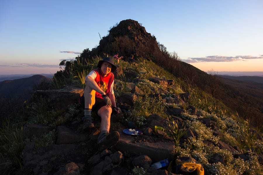
I was so over the wind that I almost didn’t bother with Hamlet Crown. But then I reminded myself it was only 10am and this was part of the inspiration for this trip to start with. So off I went. The saddle had looked quite deep when viewed from afar but it wasn’t so bad when doing it. I scrambled up a couple of loose chutes to get to the top and then made my way out to the point for views and morning tea.
View from Hamlet Crown
Morning tea hiding behind a rock away from the wind
Saddle – full of baby gums (?) Might be a nightmare to cross in a couple of years
I found a slightly more stable chute to descend on my way down and it wasn’t long till I was back at my pack. There was a little stream flowing nearby (amazing the the things that are flowing at the moment) so I had a big drink and enjoyed the views. The ridge was very open and the walking was easy so I made good time as I approached Jones Creek. I started looking for a sheltered lunch spot eventually ducking down behind some boulders. My original plan had been to camp near Billys Hill tonight, before heading out tomorrow. The thought of another night out in the wind was not appealing and I was so far ahead of schedule I was going to be able to get out tonight.
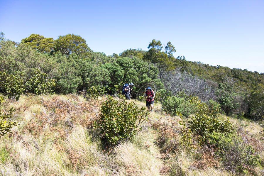
Very easy walking along the ridge towards Jones Creek
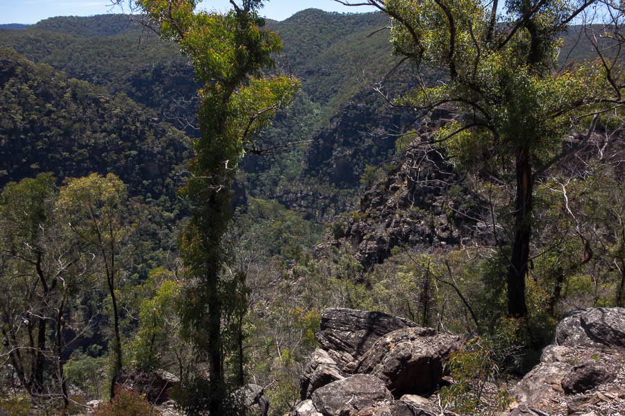
I dropped off the ridge to the end of the Jones Creek Walking Track hoping for some stunning views. The wind was potentially the strongest I’d encountered and so I couldn’t get too close to the edge. But from what I could see the views were pleasant but nothing particularly special.
Views into Jones Creek from the end of Jones Creek Walking Track
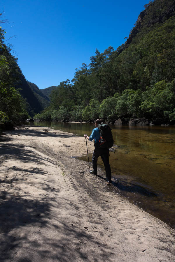
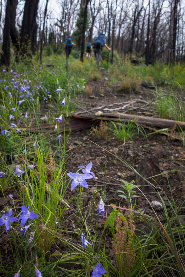
So all that was left was the Jones Creek Walking Track back to my bike. I’d been keen to check out this track, which is marked on maps, to see if had any particular merit. Having walked it my conclusion is, not really. It is very flat, but that is about all it has going for it. The track didn’t show up on aerials (unlike Pauls Walking Track which was prominent). However on the ground it was quite obvious. I was curious at how long vehicle tracks leave their mark for. There were numerous sections which has Banksias had grown up through, but now that it was all burnt and with the rain the old vehicle impressions were still highly evident.
Old road impressions hold their memory for a long time. Those banksias haven’t just sprouted up
There were a lot of recent footprints on the track which was also curious. I think walking out from the trail head on the fire trail and this track would feel like a particular kind of torture to me – my feet were unhappy enough as it was just doing the 4km back to the bike. I bumped into 3 women who looked like they were heading out to camp at the track end. They looked like it had been a long day, and I’m not sure the wind would make it a very pleasant night camping. If it had been a still day I would have been tempted to drop into Jones Creek and find a campsite as I was pretty tired. But just as those thoughts crept in another blast of wind kept me on the march.
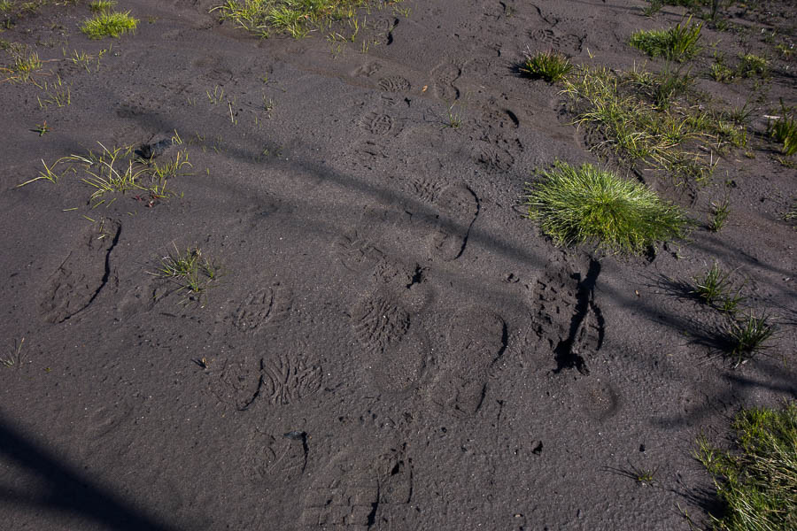
Don’t feel quite so alone on this trail
Fortunately tyres were still inflated and stayed that was as I made good time back to the car, and from there a long drive home. A wonderful first solo trip in the bush.