
Morong Deep (Jan 2018)
Morong Deep had been on the hit list for quite a while. We had originally attempted it in 2008 but with a combination of slow progress and rain we bailed out at Gap Camp Gully. The next time we tried to do it in 2010 the Kowmung was running very high and we ended up just camping at Morong Falls and playing in the pools. [As a side note here are some photo comparisons of water levels between the 3 trips]
Since then it’s been on the to-do list but I had a mistaken idea that we needed 3 days, plus a good weather forecast, so it hadn’t happened. It was even pencilled into the calendar for a 3 day weekend the week before this trip but with Tom out of action it got scrapped. Fortunately for me (but not Tom) Alex then put it on the program the following weekend as a 2 day trip. Maybe I would finally tick it off! I spent the week before studying the forecast as I had strong memories of how slippery things got on our 2008 trip in the rain. The forecast looked pretty good, 30°C and only a 0-0.4mm predicted for Saturday, with a cooler but dry day on Sunday which would be good for the exit.
Most of the party camped at the start of the Uni Rover Trail on Friday night, with Alan joining us early on Saturday morning. We had a 7am start due to some in the group being scarred from walking in the 40°C+ temps of the previous weekend. By 7:30am we had relocated to the locked gate and were heading down to Morong Falls.
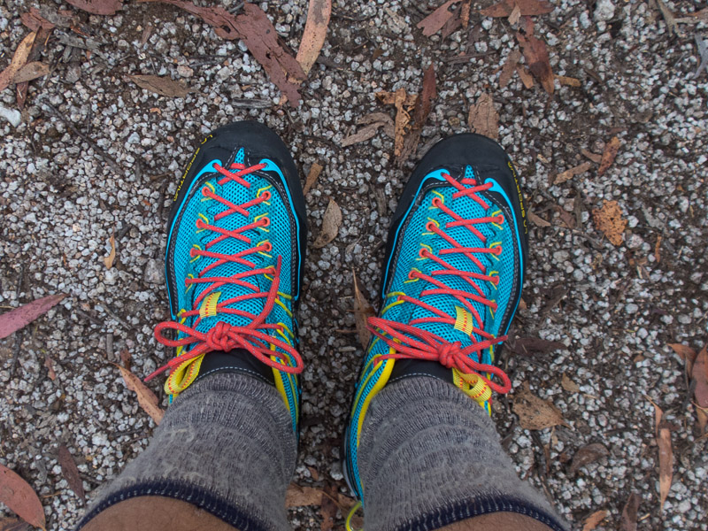
Definitely a trip worthy of cracking out a new pair of shoes!
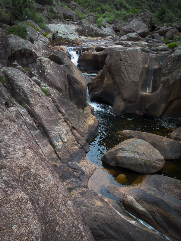
Crossing Morong Falls up high
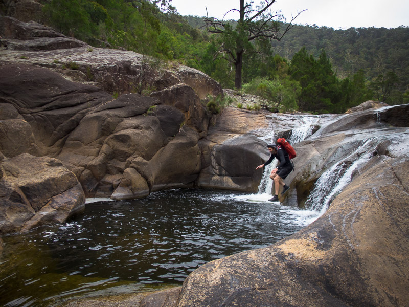
Descending down the true right of the falls

Alan below Savage Cataract
We were on the Kowmung at 9am. It was a humid day but overcast not really matching the forecast ‘sun’.
The party on the Kowmung at 9am
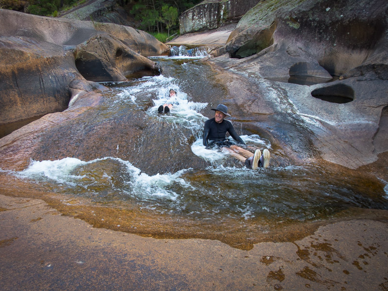
Our progress down stream was good, it wasn’t that long before we had our first mandatory swim.
Alex above some cascades
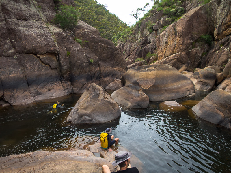
First swim of the day
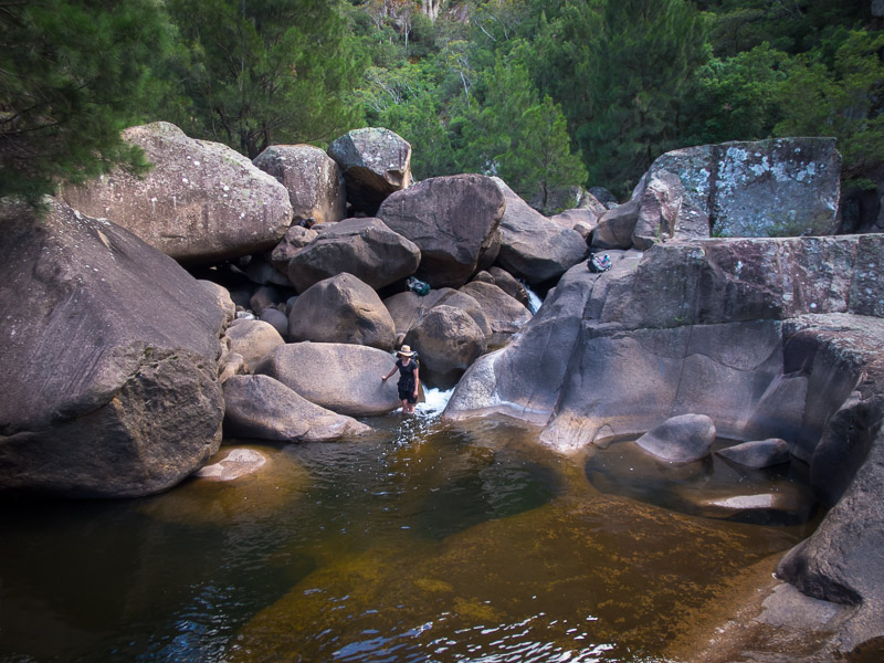
Granite gorge
Playing in the cascades
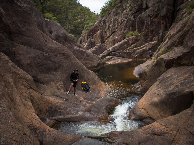
Shortly after that we got to the 7m jump (10m in some exaggerated reports). Alan arrived first, spent about 10 seconds evaluating the landing zone, chucked his pack and followed it shortly after (not recommended). The rest of us took the more conservative approach and used a handline on the true-right to descend.
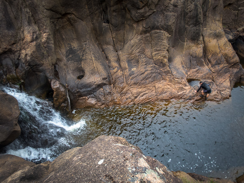
Looking down at Alan from the jumping spot
Jo taking the handline option
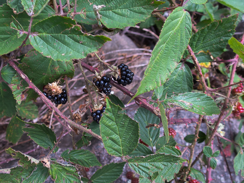
Lots of blackberries along the way
The blackberries supplemented morning tea as we worked our way along the river.
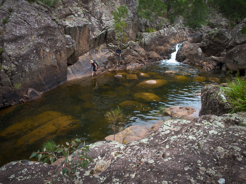
A flatter section of the river
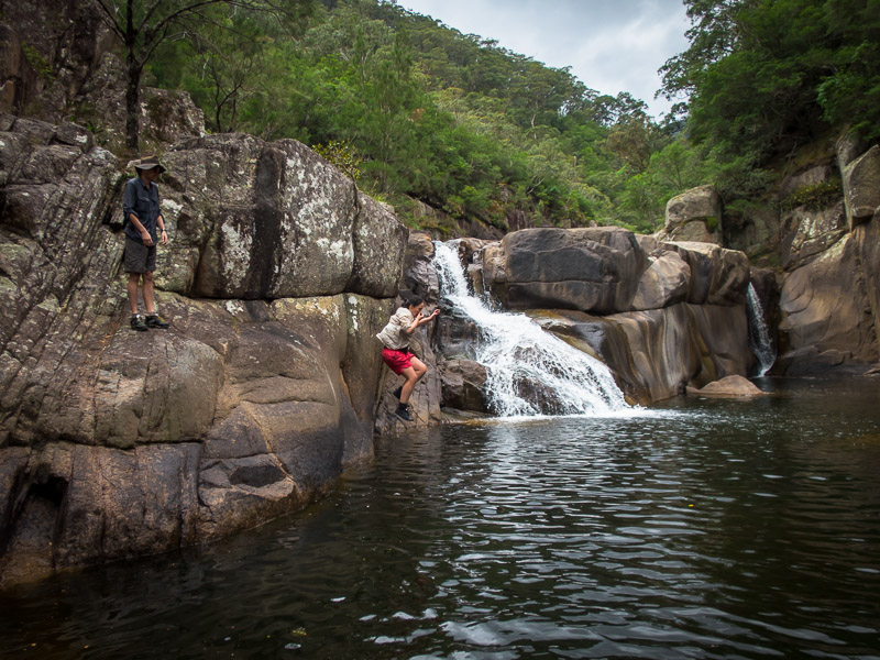
David S jumping
Sierra & Alex river walking

Blow out!
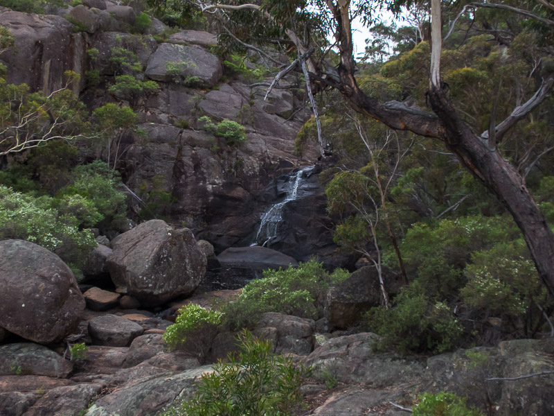
We had lunch at 1pm next to a lovely cascade, but unfortunately the weather hadn’t come to play. The overcast conditions worsened and we got some rain. Fortunately the air temperature was still in the mid-20s but any extended stops did mean people got a bit cold in their wet clothes. Luckily the rain was light and the rocks dried fairly quickly so we weren’t slipping about too much.
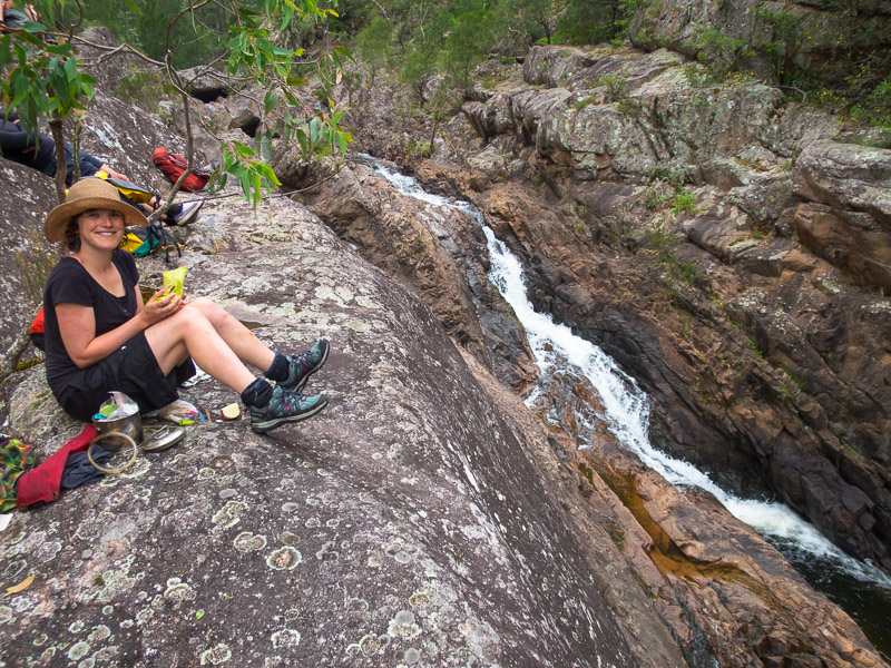
Lunch time
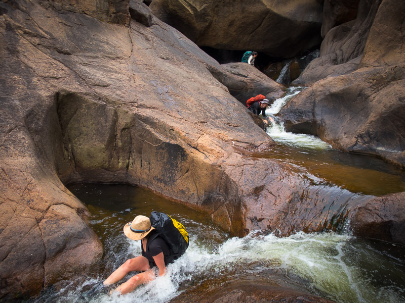
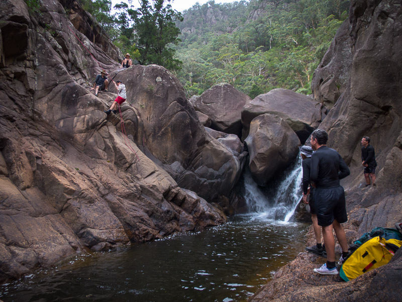
We used a tape to descend on the true left at another set of falls, and then the handline got another use on the true right. Otherwise we had varying sections of flat-ish casuarina river banks interspersed with boulder fields and cascades.

Jo using a tape to get down another drop
Jump after using the handline to get part way down
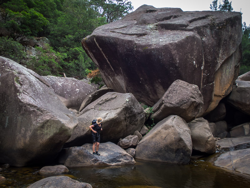
Amazing boulder
We got to our intended campsite at 3:15pm and right on time the sun finally showed its face so we had a leisurely afternoon warming up and drying off on the flat rock platform. That led into happy hour, the Good Weekend quiz from November, dinner and a game of hearts. (To the parties benefit David had ignored Alex’s decree of packs no heavier than 10kg, hence the port, Good Weekend and cards!)
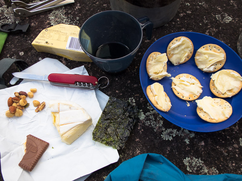
A good selection for happy hour
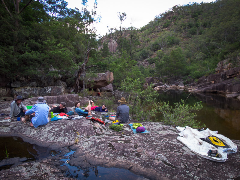
Lazing about at camp
The clear weather had stuck around since we got to camp and David S decided to join Alex in sleeping in the open on the rock platform. I had elected to sleep under a not particularly flat overhang, while the rest of the party were up in the trees with their flies. The evening went well until around 1am when it started drizzling. I noticed some torch light while Alex and/or David S wrapped themselves in their Tyvek. The drizzle didn’t last long.. but then it came back, again not too heavy. I could see some great stars so I thought that was the end of it, but then the stars vanished and it started pouring. My overhang was on a slope and soon there was water running in, so I relocated to the upper level away from the water. I was very glad I hadn’t decided to sleep on the flatter rock out in the open with the Tyvek boys!
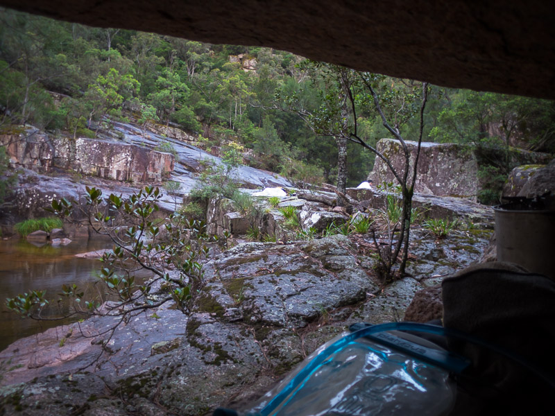
Looking out from my little overhang in the morning. The two white lumps are Alex & David S
Alex looked like a drowned rat, it appeared all of his gear and him were soaked through. If I didn’t know better I would have thought he’d dropped his sleeping bag in the river. David had fared slightly better, probably from the combination of a higher sleeping mat, a newer piece of Tyvek and better location on the rock.
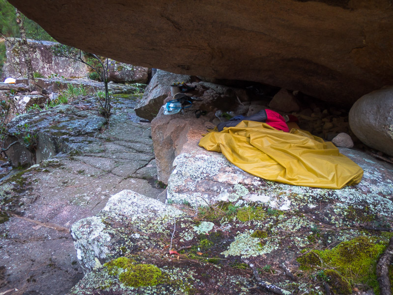
My little overhang. I started on the lower level before the rain started coming down
We had been targeting a 7:45am departure though it was almost 8:30am before everyone was ready to go (a very unusual state of affairs on an SBW trip).
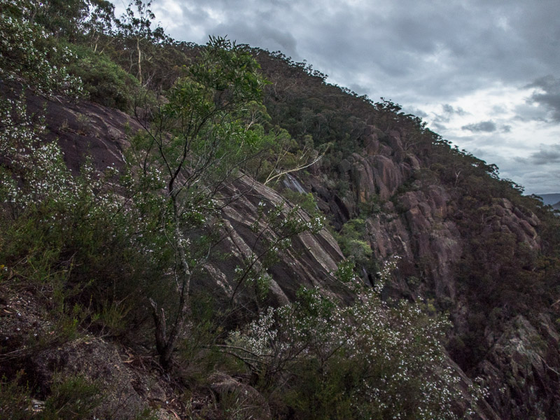
The sections immediately downstream of camp were stunning, and I was glad to be travelling mainly on the true-right which had seen the sun for longer and therefore was drier underfoot.
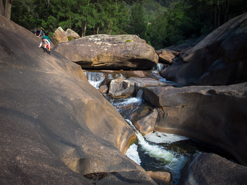
Jo on a high traverse early on day 2
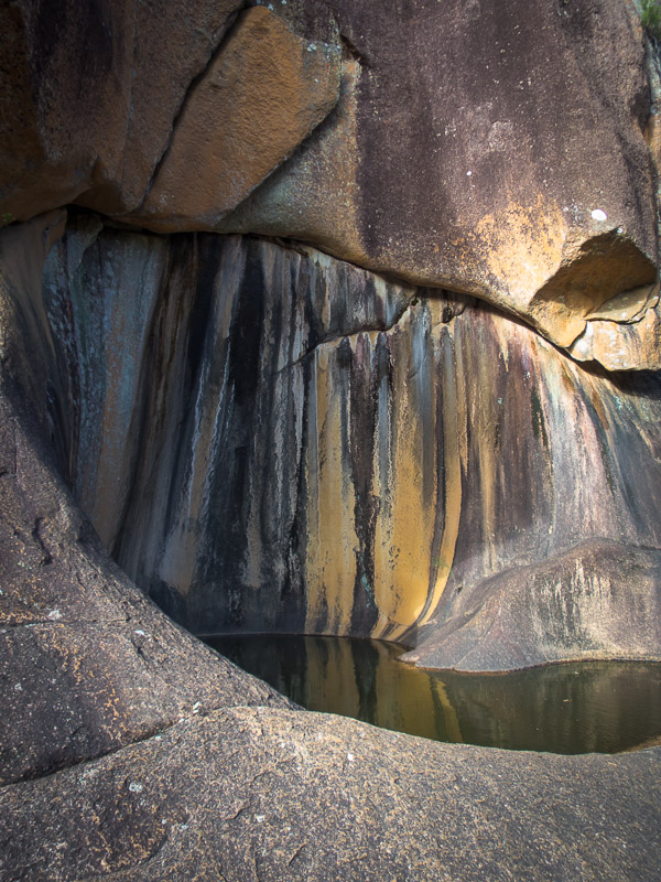
Beautiful rock stains
More high traversing – we hadn’t got wet yet!
I think we were all hoping we’d make it to the exit point without having to swim, but that was not to be. The water was warm, but once you were wet being out was not much fun.
Sierra and David C warming up (the water was warmer than the air)
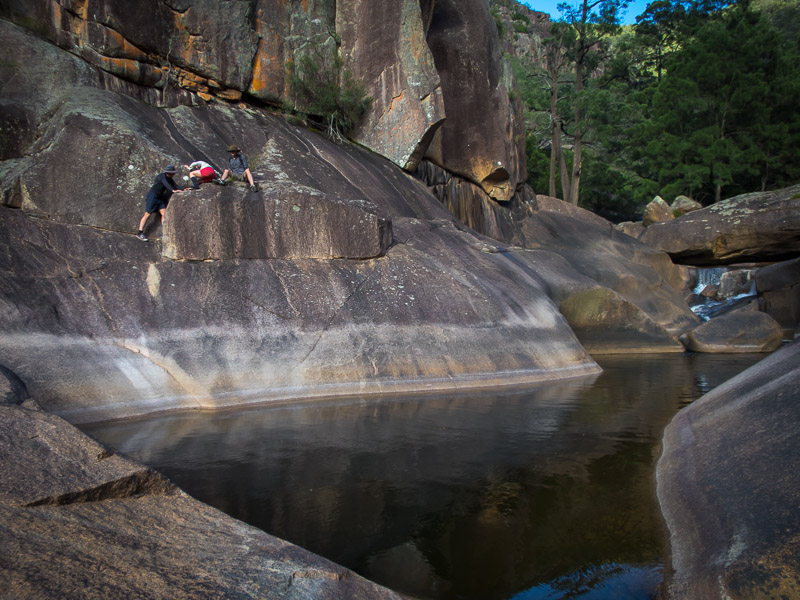
Sierra emerging from a boulder blockade
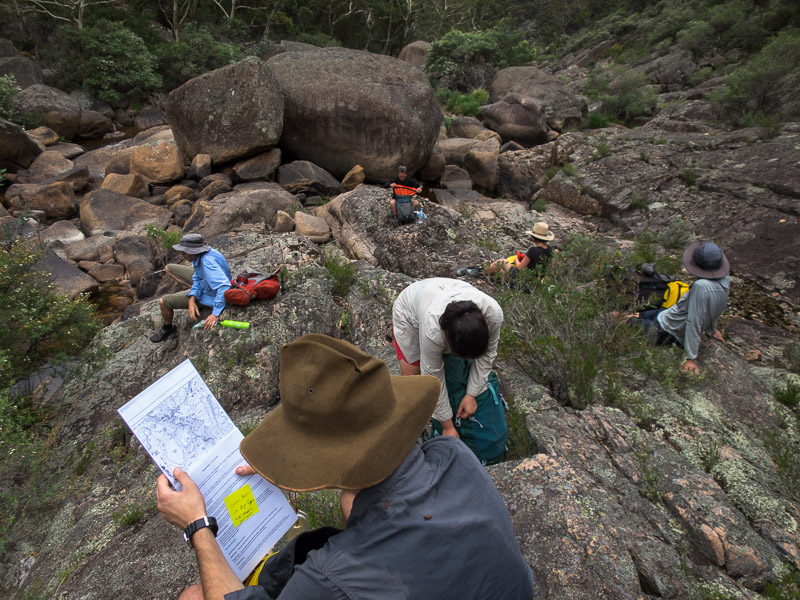
After an hour or so travelling downstream we hit our exit point. We filled up water and then started the walk up Megalith Ridge. It was a much cooler day than yesterday and the breeze combined with wet clothes meant we were quite cold. Alex’s original plan had been to exit up Hanrahans Creek but with the weather as it was we changed plans and just stuck with the ridge the whole way up. Megalith Ridge certainly gives value for money… it goes on… and on… and on… Eventually we made it to the top where we had lunch.
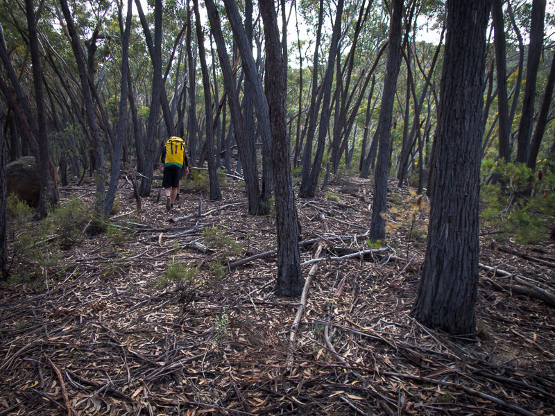
Open walking on Megalith Ridge
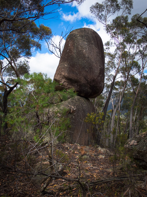
One of the megaliths that the ridge is named after
Post lunch it was less than an hour back to the cars. Alan’s car claimed it was 9°C (though David & Jo’s cars had it at 14°C) – not exactly mid-summer temperatures. Possibly the earliest finish I’ve had on a Kanangra adventure! Jo & I had vanilla slice and coffee in Blackheath on our way home – the perfect end to a very enjoyable weekend. Though next time someone book the sun!