SW USA Part 5: Buckskin Gulch
Continued from Part 4
The decision to stay indoors meant we had a quick, easy departure the next morning to meet our car shuttle operator. When I’d booked our shuttle for 7:30am I hadn’t looked at the sunrise times. Sunrise was only at 7:15am. Once I’d realised I almost made it later – turns out it was a good thing I didn’t. We also had to make sure we were talking Utah times as Arizona doesn’t observe daylight saving and had an hour time difference – tricky when the border was only 20 minutes from where we were meeting!
Our shuttle operator was waiting for us at the White House Trailhead well in advance, and we were on our way to Wire Pass Trailhead exactly on time despite our faffing. The trip to Wire Pass went twice as fast as it would have had we been driving! Yermo had clearly driven the road many, many times previously, had a 4WD and was completely comfortable. Perhaps too comfortable, as he pulled out his phone, while driving, to show us photos of Antelope Ridge Canyon – apparently going to be the next big thing in the area.
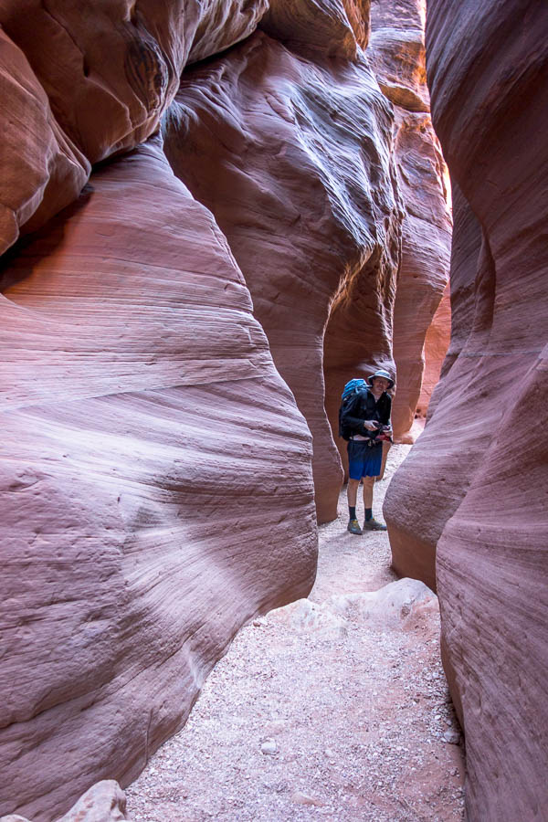
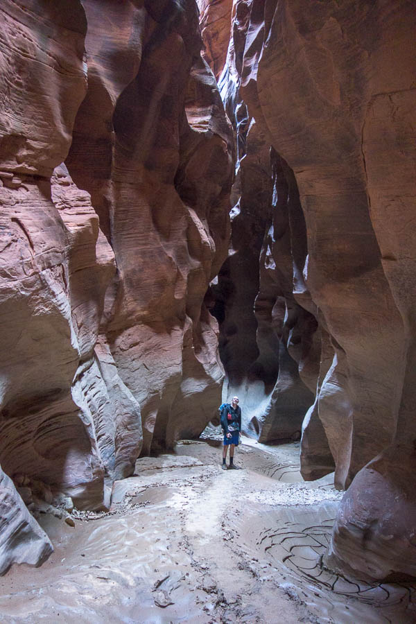
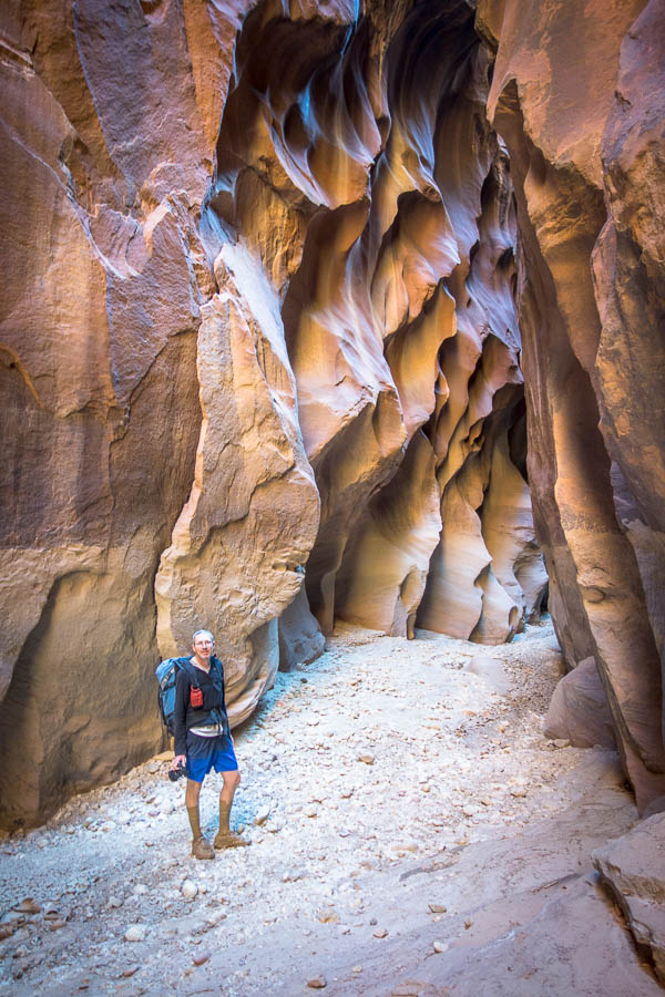
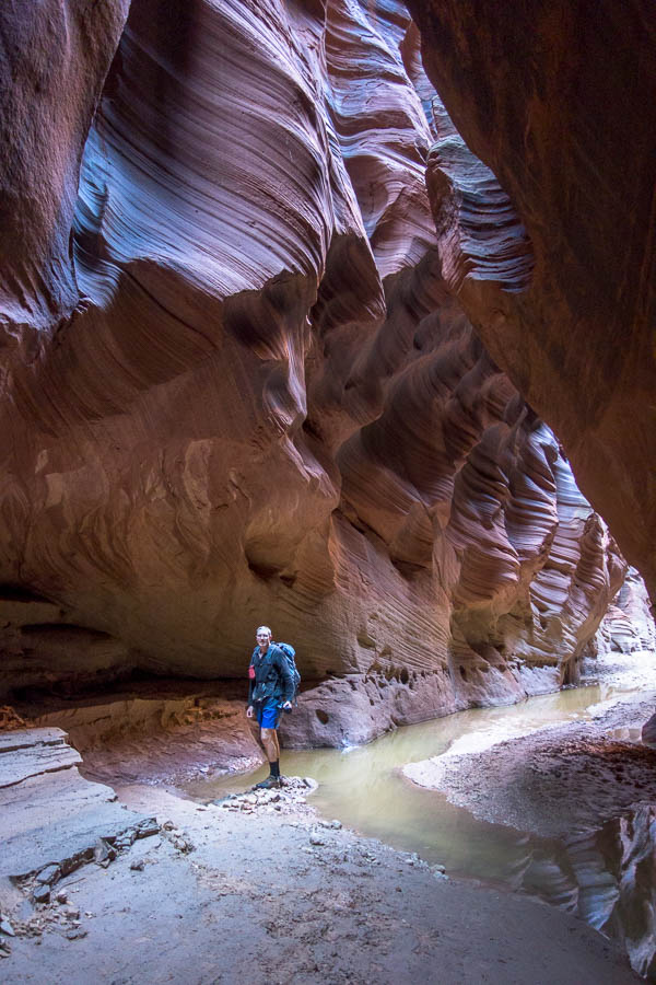
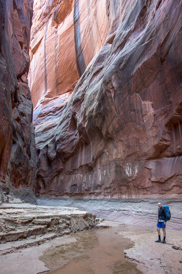
I didn’t really know what to expect from our overnight trip through Buckskin Gulch. Even though I’d read that it was claimed to be the “longest slot canyon in the world”, I hadn’t really thought about what that would mean. After the first half hour approach, we were walking down a slot canyon for the entirety of the day. It wasn’t always super narrow, and to be honest those wider sections were something of a relief, but a good proportion of it was 2m wide. There is only one escape, the ‘middle exit’, and so it’s not a location to be walking if rain is forecast.
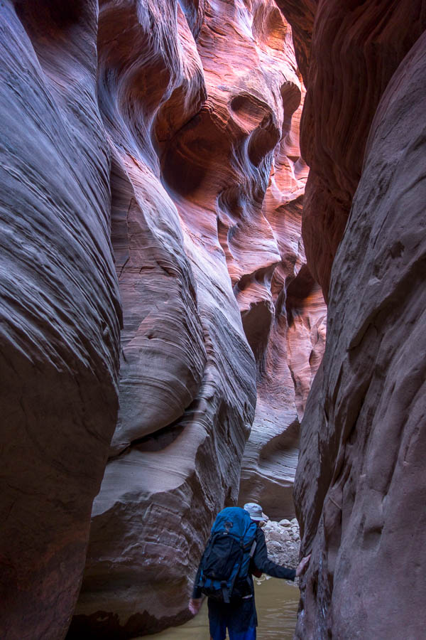
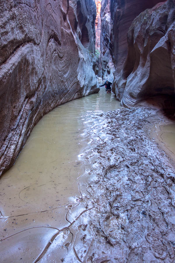
Unfortunately the area had got decent rain in early September which had filled up the canyon. The water had been draining (or evaporating) slowly but apparently even the week before we would have been doing chest-deep wades.
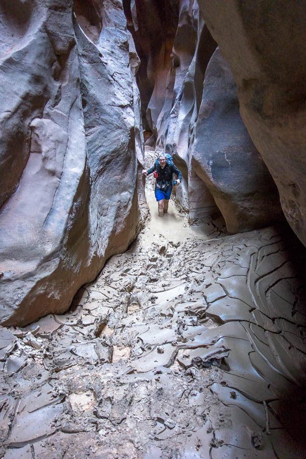
As it was we hit our first knee deep pools (and of course mud) quite early on. It didn’t detract from the canyon – though Tom was apparently expecting a more spectacular canyon. I think his expectations were too high!
The notes we had suggested 3 hours from when we entered the slot to reach the middle exit. But every time I looked at something promising it didn’t go… and we kept going, and then hitting more mud and deeper pools. I had now been in up to my upper thighs, and in danger of getting wet shorts (which had been hitched up as high as they could go). The mud and pools made things very slow as it was so slippery you inch through the pools trying to ensure you don’t fall over and end up saturated and stinky.
Eventually we reached middle exit – it had taken us closer to 5 hours rather than the expected 3. Subsequently it was a very late lunch! We bumped into 3 others at the base of middle exit. Two who’d walked up from Lees Ferry over a couple of days, and the third appeared to be a guide to get them out middle exit. It became clear while we were eating lunch why they needed the guide. Middle exit seemed to be a slickrock ramp that just needed to be walked up – easy if you’re used to friction walking in that environment. Not so easy if you’re not used to it – they were still getting up the ramp as we finished our lunch.
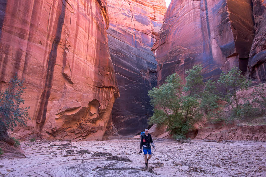
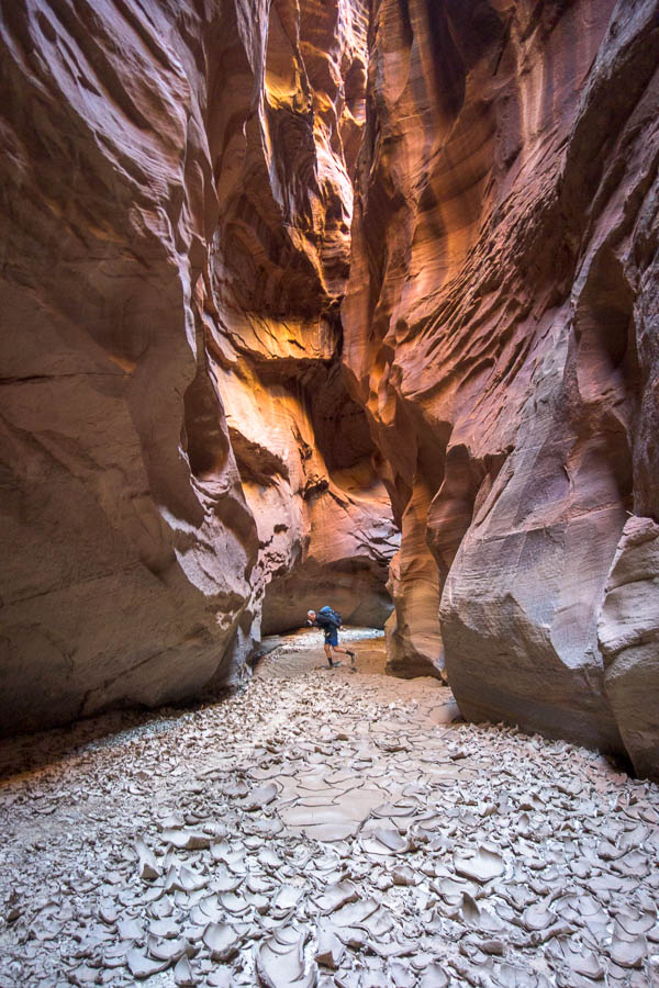
We were somewhat buoyed by the news from the other walkers that there wasn’t really any water downstream. They had been covered in mud so we weren’t getting too hopeful though! Thankfully it was largely dry for the next hour and we were happy to be able to march down the canyon without much thought to foot placement.
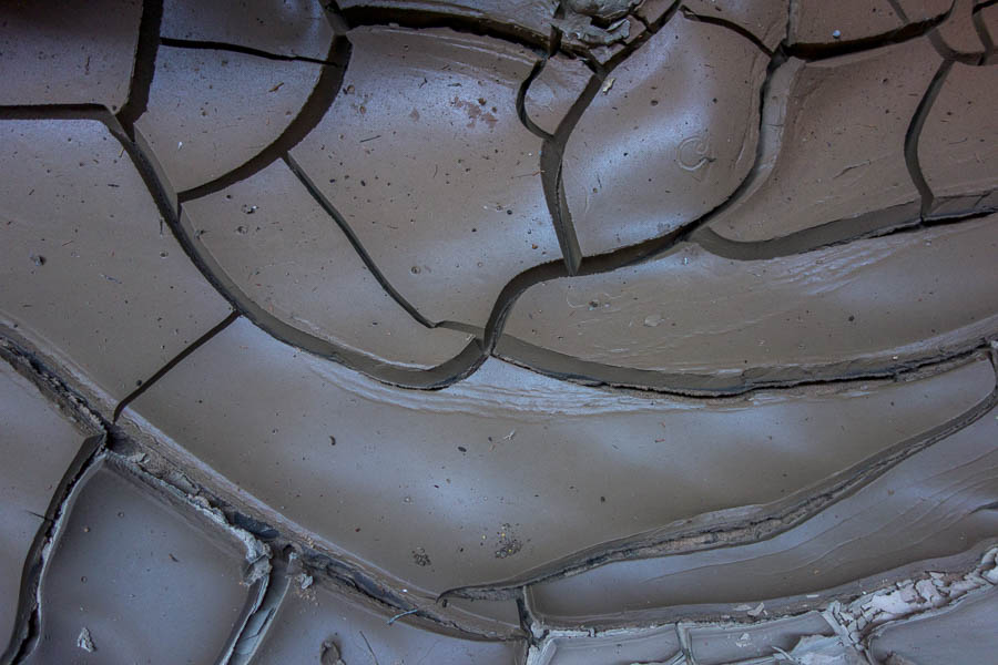
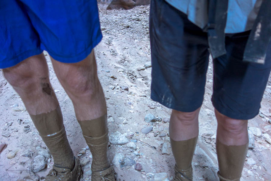
We were also waiting for the crux of the day to arrive, which according to the notes we had, was about an hour downstream from middle exit. So every indication of rockfall we thought – this must be it! But no… however, we did get to a mud pool. The description from the other couple made sense once we hit it – they’d said no water but just mud you keep sinking into. It was basically knee-deep liquid mud. We came out of with a slick layer of mud over anything that went into the pool.
Of course, feet covered in the mud, was when we eventually, about 2 hours downstream hit the crux.
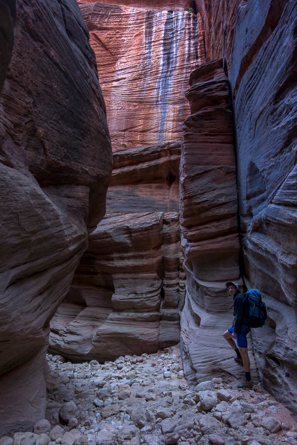
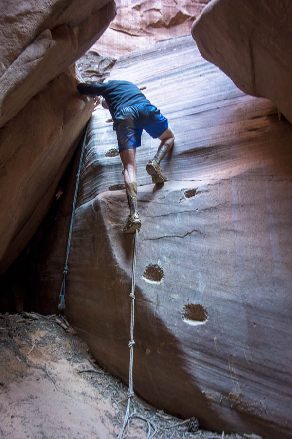
The crux is a pile of large boulders. Sometimes you can go through a hole at the base, but other times that hole is blocked up and you need to downclimb a boulder which has had steps carved in it. Both options were available to us, though Tom left his pack behind when he went to investigate the low route, so had to climb up the boulder to get back to his pack. I guess he got the full experience.
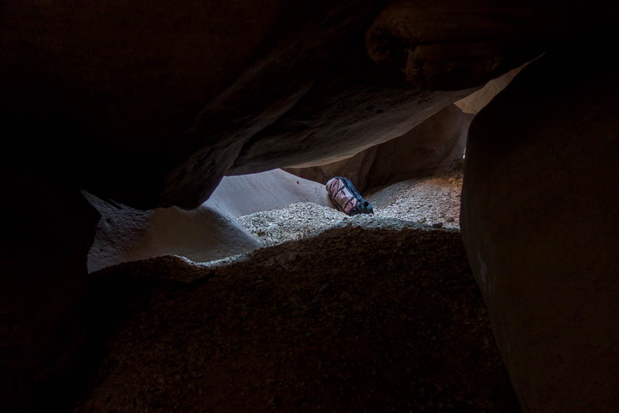
Which he’d left behind when he’d taken the low option (though that is my pack where I’d left it to go back and help him get down)
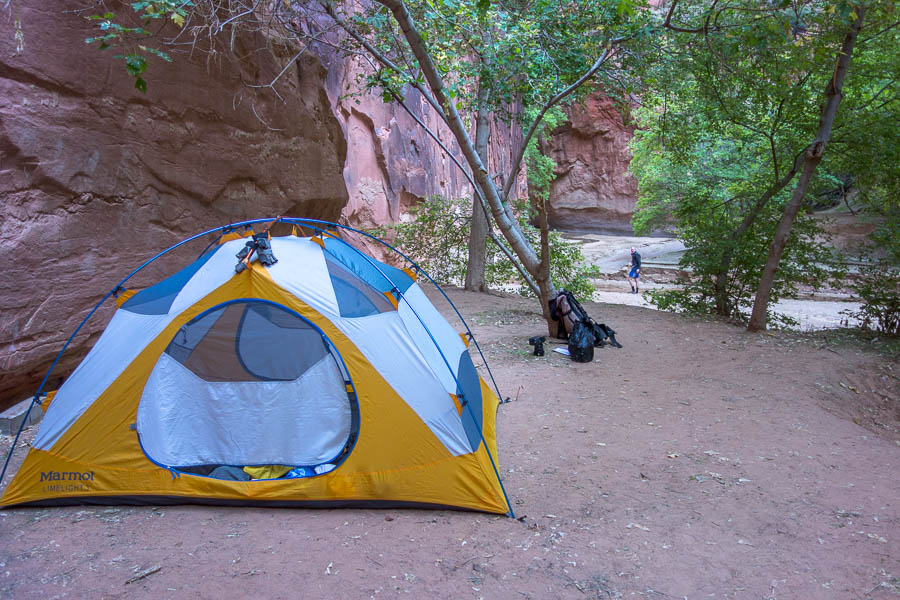
We were hoping this later section was going to be ‘on time’ and not an extra two hours because we were already looking at a 5pm arrival at camp. Fortunately it was. We actually walked past the campsites initially – it was only when we arrived at the confluence of the Paria River and Buckskin Gulch that we realised our mistake. We were a bit grumpy about it as it had been a long day and we didn’t want to have to do unnecessary extra walking – but too late! As it turned out it really wasn’t that far back upstream to the campsites. We’d both been expecting that the canyon would widen out for where we camped – but having seen the sites it was then abundantly clear why you were required to carry your poo out (remember the wag bags). We were literally camping in the canyon – just on a couple of well-entrenched sandbanks.
Tired, after what was by far our longest day, we quickly devoured snacks, soup and dinner and were in bed pretty early. Before we could leave the next morning we got to have our first use of a wag bag. I’d done a bit of research before we left but I hadn’t appreciated that we would be needing to poo into a bag (as opposed to onto a flat sheet). I’m quite used to digging holes in the bush but the set-up for the bag required a bit more coordination. I’m sure after a few uses you get it sorted but I wouldn’t say it was the most user-friendly experience I’ve ever had.
From there we headed back to the junction with the Paria River, which we would exit up. We had been surprised how few people we had seen in the canyon – a few at the start near the car park but otherwise we’d largely been on our own. So it was a bit jarring to bump into 3 people and 2 dogs, coming from downstream, first thing that morning. We recognised the group as they had set off from White House Trailhead when we’d been camped there two nights earlier. The smaller of the two dogs had a much harder time of it – lots of pools it had to swim! Another thing about the USA which just feels weird to me – dogs being allowed in so many more places than they are in Australia.
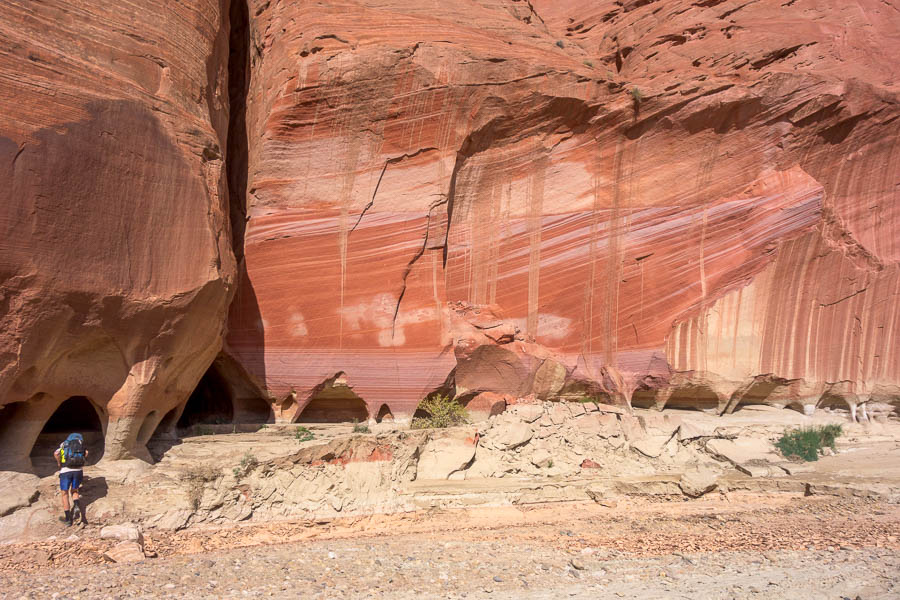
The section of the Paria was quite stunning and we enjoyed the morning’s walk. There were lots of people (and horses) heading in as we walked out. The closer we got to the car the sooner we needed to start making some decisions.
This was meant to be the end of the canyoning section of the trip, and from here on we were heading to Arizona for desert hiking and cactus viewing. However Tom had looked at the forecast a couple of nights earlier only to find ‘extreme heat warnings’ issued over almost the entirety of Arizona and California for the next week. Did we really want to head into that? And if not, what were our alternatives?
We needed to make a decision before we drove anywhere, so we settled in under the picnic shelter at the Paria Contact Station with our maps of Utah and Arizona, phones at the ready, to try and work out a plan for the rest of a trip.
Because the heat was so widespread there wasn’t really anywhere that close to escape from it. If we opted to do some more canyoning in the Paria area (which had been skipped in favour of Colorado) we would be doing it in 30°C+ heat. That wasn’t likely to be that much fun – so perhaps we should just suck up the 40°C+ heat further south?
With that solid reasoning behind us we set off for Flagstaff – which at least at its higher altitude wasn’t setting daily record temperatures for that time of year (unlike Phoenix).
Continued in Part 6


