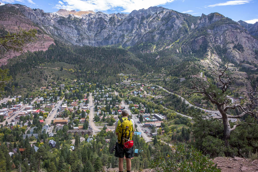
SW USA Part 3: Black Canyon of the Gunnison NP & Ouray
Continued from Part 2
One of the issues with canyoning around Hanksville is the general isolation, and lack of mobile reception. When we’d headed into Maidenwater Canyon three days earlier the forecast had been for rain to come through on Monday. Without reception we didn’t know if that was going to come earlier/later/not at all until we got out late Sunday afternoon. I’d had some slightly nervous moments on Saturday night watching lightning in the distance and wondering if a storm was going to come through that night.
Regardless of weather, we needed to head to some form of civilisation because we needed to fill up water, and restock a few lunch supplies.
As it turned out the unstable weather, which had been due to come through on Monday would bypass the Hanksville area, and wouldn’t hit until late Monday. It looked like our new plan had us driving straight into it – but not wanting to make yet another plan we stuck with the new plan. And so we headed to Colorado – somewhere that hadn’t been on the itinerary at all – and my first time there.
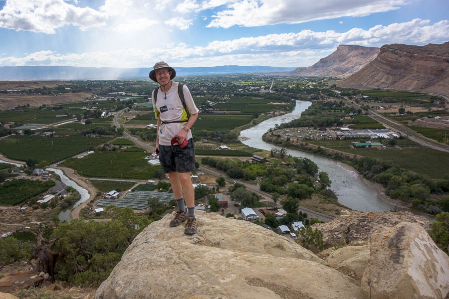
It was a bit of culture shock to go from rural Utah towns to the slightly up-market foodie destination of Palisade! We had a lovely lunch at Carboy Winery with views out to Mt Garfield before doing the Palisade Rim (Lower) Hike. The second winery visit was slightly less relaxing as the wind battered the exposed deck we were sitting on and the rain snuck in the small gaps. We didn’t linger.
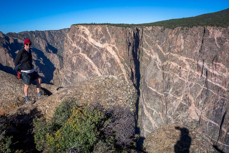
A saturated car park and heavy grey skies greeted us the next morning and made us feel good about the decision to stay in a motel. We sat around waiting for the weather and eventually headed off towards the Black Canyon of the Gunnison National Park – ever heard of it? No, neither had we until a couple of days earlier. The name apparently comes from the narrowness of the canyon – some points in the gorge only receive half an hour of sun a day.
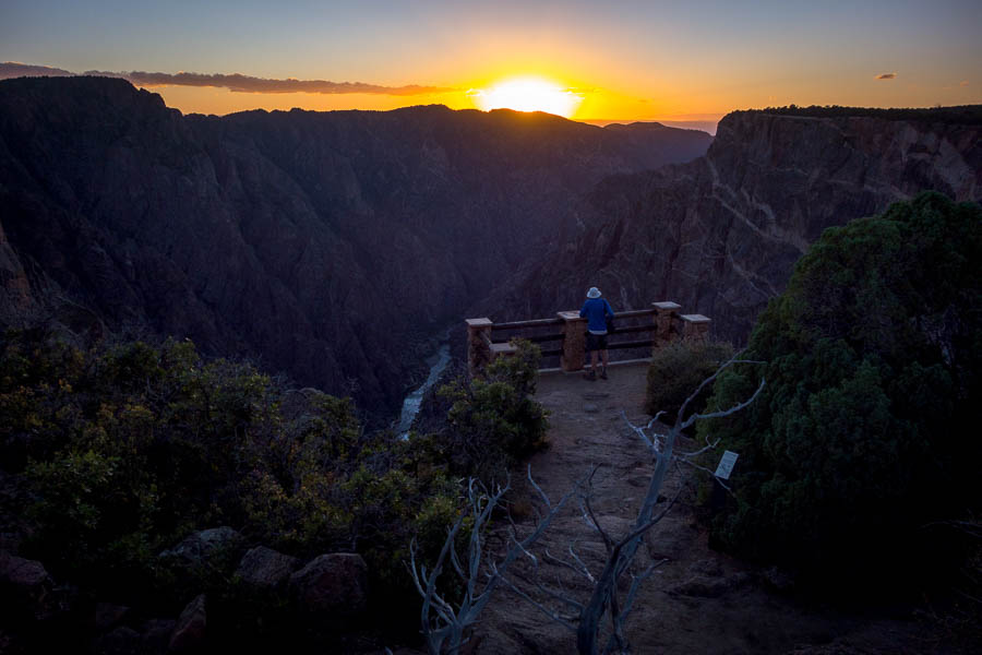
Right on forecast the weather cleared in the early afternoon, just as we arrived at the park. So we set off on some short walks, and then drove around and enjoyed some of the overlooks at sunset. We did the remainder of the short walks / overlooks the next morning before moving on to Ouray.
We were lucky to secure a campsite at the Amphitheater Campground above Ouray and then set off to do Angel Creek Canyon. Ouray is famous for its Class C (flowing water) canyons, but being autumn the water levels were very tame. We hadn’t researched any of the canyons prior to the trip and definitely missed having RoadTripRyan. The RopeWiki descriptions weren’t always easy to match to reality.
Angel Creek Canyon
We came away a bit underwhelmed at how easy Angel Creek had been – but then chatting to a guy in the outdoors store he said he knew of a group that had to bail out of it because of rapidly rising water only a couple of weeks before. So despite what appeared to be very innocuous conditions I guess you’ve always got to be on top of possible dangers.
Not all of the creeks were tame – the Box Canyon, one of Ouray’s main attractions, was absolutely pounding – very impressive.
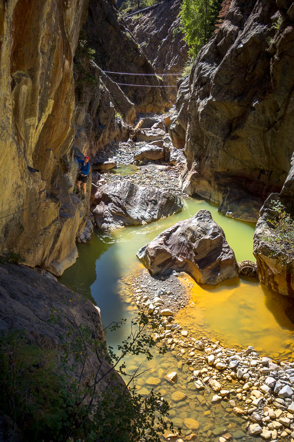
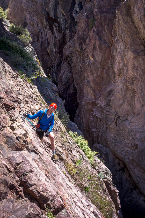
The next day we hit up the Ouray Via Ferrata. There’s two routes – the Upstream and Downstream, which both start from the same place. The outdoors store guy had told us doing the Upstream route first, if we were planning to do both, was the more efficient, so that was our plan. The Upstream Route (VF Grade: 4.5B) is the harder of the two and we quickly found out that it wasn’t going to be an easy ramble – a step up from anything we had done in the Dolomites. Almost immediately we were doing slightly overhung moves and wondering if we’d got ourselves in over our heads. Fortunately the difficulty ebbed and flowed and we managed to make it through the route – albeit with much more of a workout than expected.
Ouray Via Ferrata – Upstream Route
We had a late morning tea (as it was already after midday) before wandering back down the track, to the start, to do the downstream route. The Downstream Route (VF Grade: 4B) was more scenic – the gorge in that section was more attractive, and it was easier. Though our hands were pretty worn after the morning so Tom, in particular, found it a bit trying. It would have been challenging had we done them the other way around! The end of the Downstream Route is at the car park so we were then able to head into town for a very late lunch near Cascade Falls.
Ouray Via Ferrata – Downstream Route
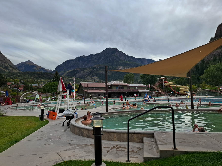
Ouray is well-known for its hot springs, so it seemed wrong not to visit them. A couple of hours soaking in the outdoor pools with the beautiful backdrop was wonderful.
The outdoor store guy had also suggested that Oak Creek water levels might be at a level we were comfortable with, so that was where we headed first thing the next day. Ouray is already at 2,400m and we had a solid 350m climb to start the day, to take us to the highest altitude canyon we’ve done. (We did visit Pleiades near Moab in 2013 which I think is higher but given it was covered in snow(!) we didn’t descend it). We weren’t really clear if autumn flow conditions warranted wetsuits but we figured we should play it safe and after much wriggling we were suited up and ready to go.
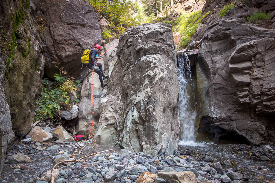
Lower Oak Creek
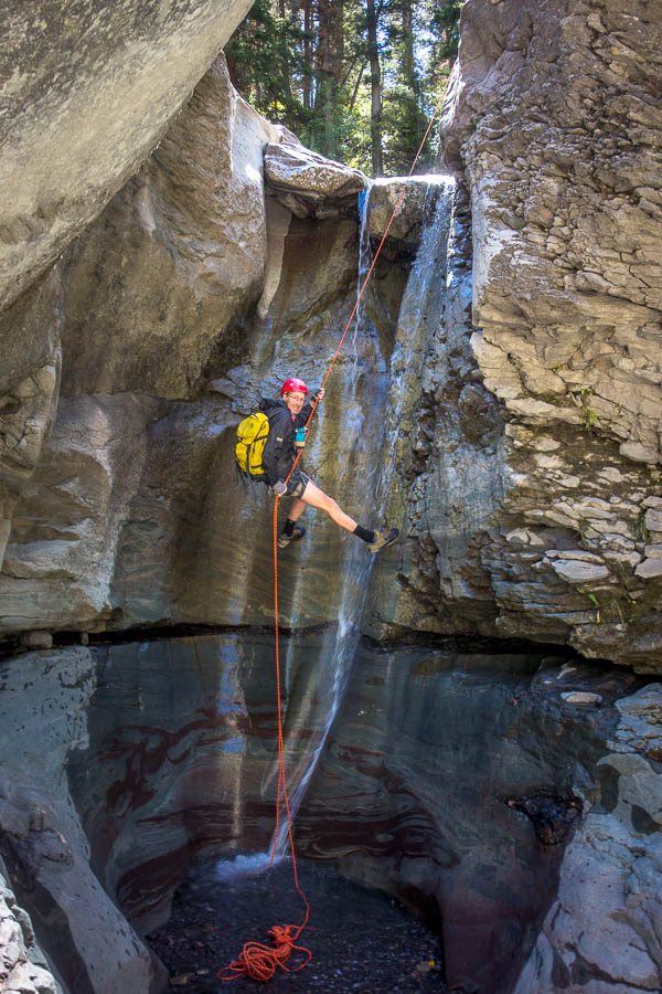
Lower Oak Creek has 9-ish rappels, the highest 40-odd metres down a waterfall. Even in the low flow conditions I got pretty wet on the way down – though Tom tells me that’s because I took a poor line. But he didn’t get to pop into the alcove behind the flow and ‘enjoy the unique view’. Our feet were pretty cold, but other than the main waterfall we weren’t really in the water very much above knee height.
It was very easy to tell when we’d got to the end as there’s a pedestrian bridge crossing the creek. After we’d de-wetsuited and packed up all our gear it was time for all the hikers to walk past. It was quite funny when they started asking how far it was to go etc, and us trying to explain we had no idea as we had not got to that spot by hiking. We got back into town in time for an earlier lunch than the previous day.
As we hadn’t yet done Portland Creek, the other Ouray beginner canyon, we figured we better do it that afternoon. We’d driven over Portland Creek several times already, as it’s on the road to the campground we were staying at. In fact the first rap is under the bridge you drive over. It was a short but scenic canyon. You just don’t get canyons like that in Australia where you can basically drive to the start, and so your entire trip is just the canyon – no real time spent on an approach/exit hike. It feels like cheating!
Portland Creek
The weather was due to turn again the next day so it was sadly time to move on.
Continue to Part 4


