
SW USA Part 7: Desert & Cacti
Continued from part 6
And so began our pattern for the next week – getting up well before sunrise so that we could get going in the cooler part of the day, before heading to a motel in the afternoon to cool down. We’d agreed, when we decided to stick with southern Arizona, that the only realistic way to handle the forecast heat was to spend more nights in motels rather than camping.
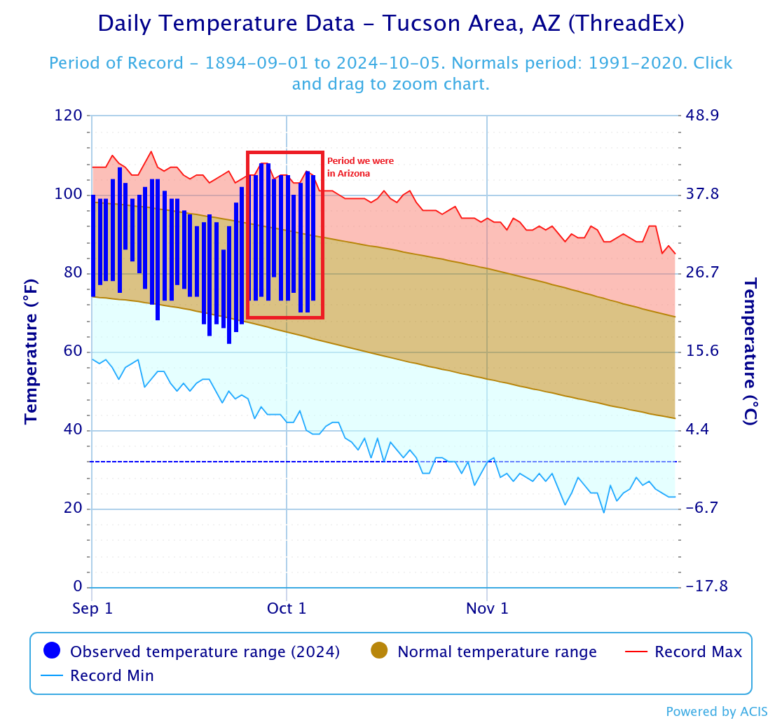
To give a sense of the heat, below is a graph of actual temperatures versus the long term averages for Tucson for the last 9 days of our trip. We obviously weren’t in Tucson for the entire 9 days but it’s representative of what was happening across much of Arizona and California. 8 of the 9 days were highest temperature records for that day of the year.
Getting from Christopher Creek to Saguaro National Park (Tucson) was one of our longest driving days. We took some scenic back roads, rather than the interstate around Phoenix. We were excited to start setting saguaros pretty early on. After knocking off a couple of hours driving we had breakfast in Globe (and my second good coffee of the trip!). From there we pushed on to Tucson where we wound our way around the city to the eastern section of Saguaro National Park.
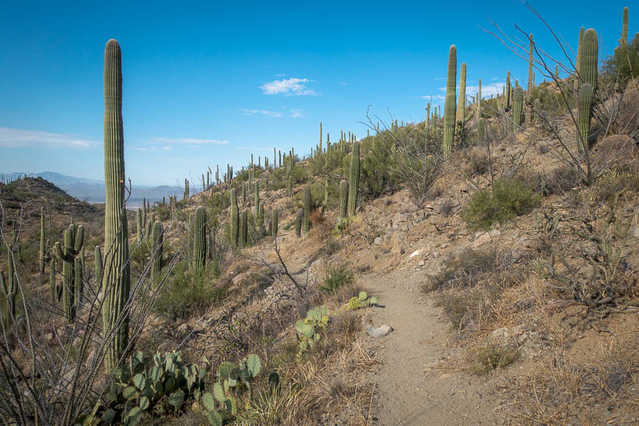
Saguaro National Park (East – Rincon Mountain District) (Arizona)
It was the middle of the day by the time we got there, and hot. We decided we could handle an hour’s walk and did the Mica View – Cactus Forest Trail loop before having lunch in the (shaded) picnic area. Can’t believe we were the only ones out there eating lunch in 40°C!
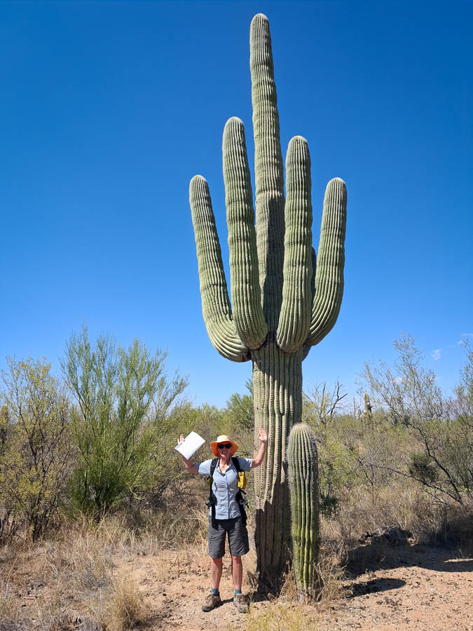
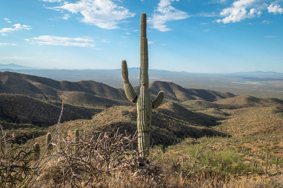
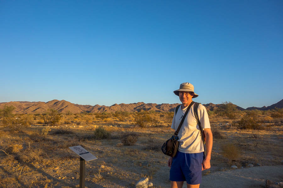
Saguaros are big!
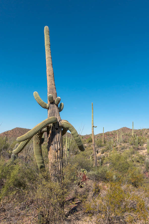
Tom with a family of saguaros
We drove around the rest of that section of the park, having brief stops, before retreating to the air con at the Visitor Centre. After that I was done. We reversed much of our route around Tucson from earlier to a hotel I’d booked – mainly for the excellent reviews. It was lovely and particularly good value – perhaps because we had to walk up two flights of stairs? (Given the number of people at reception requesting a ground floor room I’m figuring many Americans wouldn’t have been happy with our room allocation) It was a welcome place to retreat from the heat for the rest of the day.
Saguaro National Park (West – Tucson Mountain District) (Arizona)
Another pre-dawn start had us arriving at Gates Pass for sunrise. Tom’s ankle was still a bit sore so he’d agreed to drop me off at a trailhead, after sunrise, so I could climb Wasson Peak. It was a 3-4 hour round trip and I was keen to get going as early as possible. The sunrise photography took longer than expected (as sunrise was better than expected!) so it was a bit later than expected that I started along the King Canyon trail. Even though it was only just after 7am it was already close to 30°C.
Sunrise from Gates Pass
At some point I missed a turn in the track and ended up on the top of a knoll with no track other than the one I’d arrived on. The sensible thing would have been to retrace my steps, but those who walk with me regularly would know that would be unlikely to be my choice! Instead I decided I’d be able pick up the trail after walking down the other side. Bad move. I compounded my error by continuing to walk in the direction I thought the track was, before finally consulting the map on my phone. It’s surprisingly hard to work out what direction you’re walking just from a dot on a map.
Eventually I realised the track wasn’t in the direction I expected and headed back towards it. Walking off-track in cactus country is difficult, particularly as I had to cross two gullies. Anything crumbly that you might slide down can potentially dump you in a world of pain. While I’d only erred about 200m I was very glad when I finally found myself back on the track!
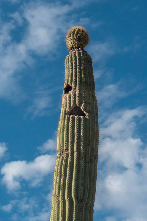
If you look carefully you might be able to see what I think is an owl in the larger hole in the saguaro. Pygmy and elf owls nest in saguaros – the holes are created by gila woodpeckers.
Views from the Sweetwater section of the trail
Views over Tucson nearing the top of the ridge
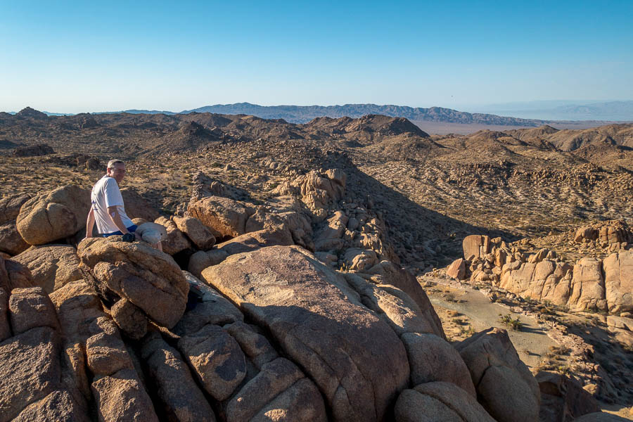
The out and back ridge to Wasson Peak

Wasson Peak views (well, mainly me!)
I got up to Wasson Peak at 8:30am. I briefly enjoyed the views, but decided that getting down before it got too much hotter was the priority. The next section of track along the ridge (Hugh Norris Trail) was quite delightful.
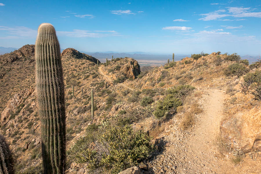
Hugh Norris Track – lots of cacti!
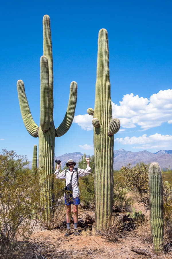
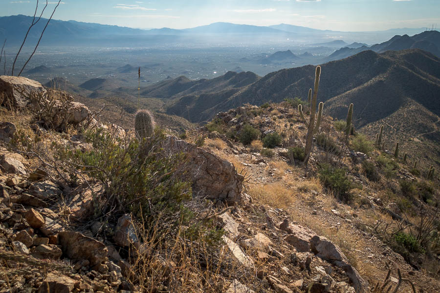
The King Canyon – Sweetwater – Hugh Norris – Sendero Esperanza – Gould Mine Trail loop was a good one – I’d recommend it if you’re in the area. While I’d been walking Tom had done the driving loop of the western section of the park, and a short walk, fortunately finishing about the same time as me.
Saguaro
The number one thing to do in Tucson (at least according to TripAdvisor) is the Arizona-Sonora Desert Museum. So that was the next stop (and only 2 minutes drive away). More of a zoo/botanic gardens than a museum with many different reptiles, bird and mammals. It was hot work walking around but fortunately regular shade provided some relief. We had another solitary picnic at an outdoor picnic area before hitting the road to Ajo.
I had argued we would be able to suck up one night camping at Organ Pipe Cactus National Monument. That was before I’d seen the forecast for the two specific days we planned to be there. I quickly backtracked that opinion and booked us a motel in Ajo. The motel was lovely – an old school which had been converted into an accommodation & conference centre complex. Apparently staying there was a tourist thing to do in its own right? (Not sure that says too much for the things to do in Ajo!)
That night a storm raged around us – it didn’t bring a lot of rain but there was plenty of electrical action and Tom got some apocalyptic photos.
Organ Pipe Cactus National Monument (Arizona)
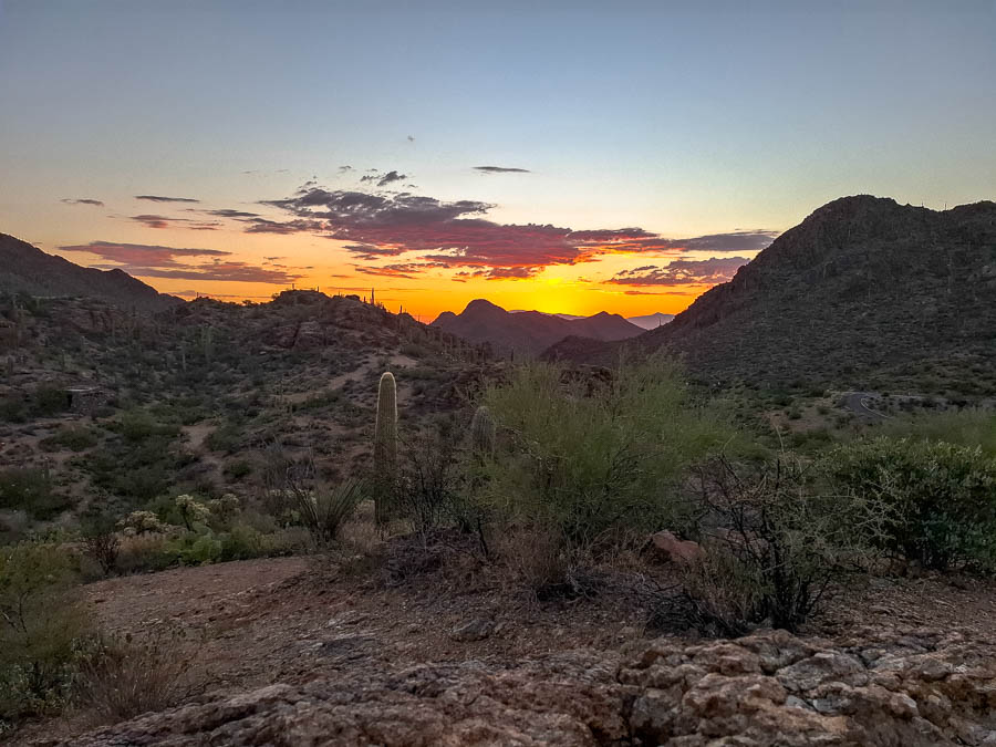
You guessed it… we had another early start heading to Organ Pipe Cactus National Monument for sunrise. The car said it was 80°F (27°C) when we left Ajo at 5:30am. Tom quickly raced up the Desert View Trail to get some elevation once we arrived. I followed at a more leisurely pace. Then it was time for the Ajo Mountain Drive – a 34km loop which had a few hikes along it.
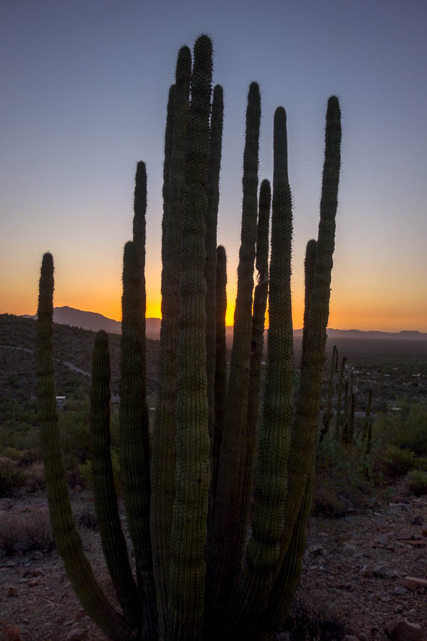
Organ Pipe Cactus at sunrise
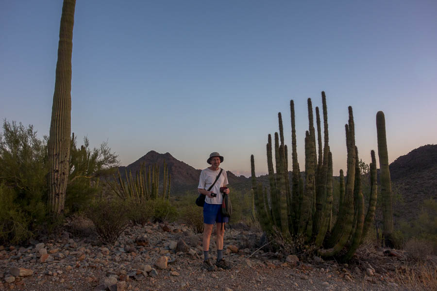
Saguaro – Tom – Organ Pipe Cactus at sunrise
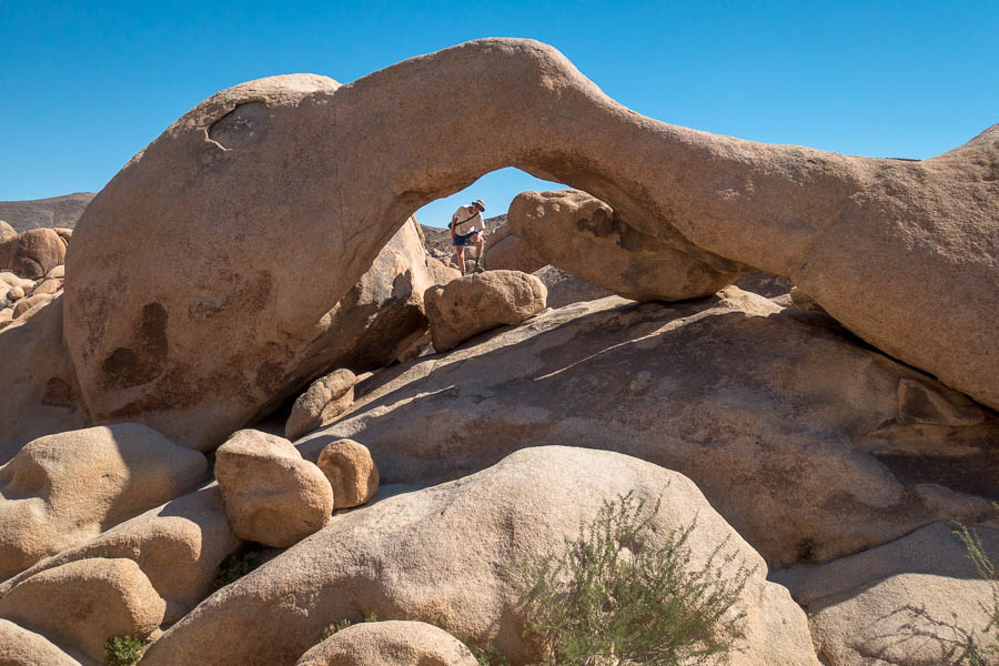
Our first stop was the Arch Canyon trail – I was immediately suspicious as we could see the double-arch – the supposed highlight – from the car park. Given we weren’t planning on the 300m ascent once we got to the end of the formed trail I didn’t feel like we were going to get a better view than the one from the car park. This proved to be the case, but we did get to hear our first rattlesnake on the trail – not that we were sure that’s what it was at the time.
Signs on hikes always highlight the many dangers of daring to go outside. However, in this case the dangers were primarily illegal immigrants and smugglers who might have snuck across the Mexico border (<10km away). We should not approach anyone with a black water bottle – I was intrigued as to how that was a key identifier. That said, it isn’t really a joking matter – the Visitor Centre is named after a Ranger who was killed by drug smugglers.
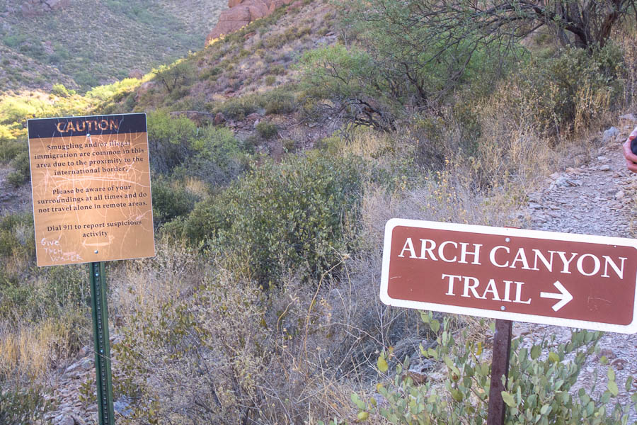
Caution!
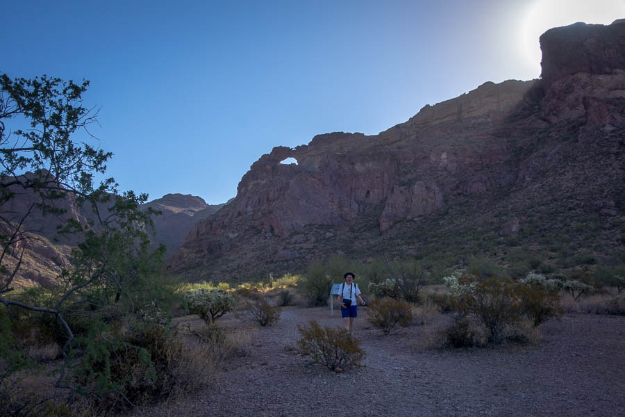
The double arches from the car park (the second one is very small and above the large one)
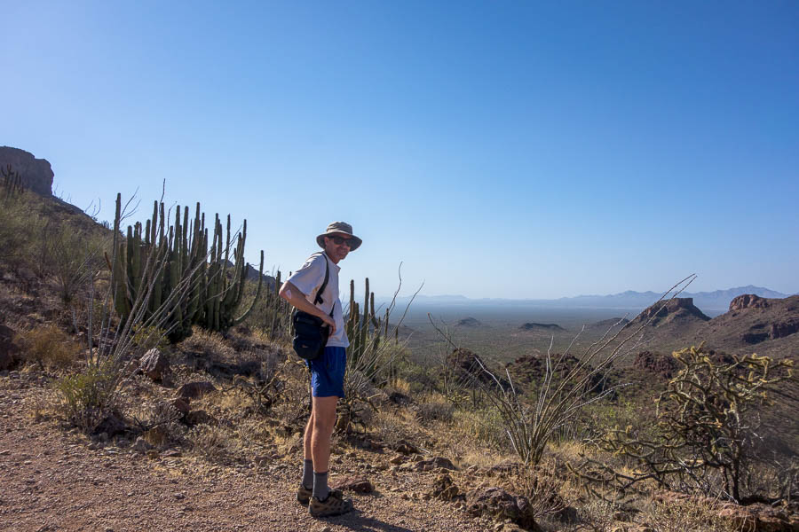
We didn’t see anyone (suspicious or otherwise), and so it was time for our next stop, Estes Canyon. We did the 6km Bull Pasture – Estes Canyon Loop. This led us to expansive views looking south to Mexico after a 250m climb. We thought we were leaving things a bit late in the day given the temperature, so we were quite surprised to encounter a group just setting off as we got back to the car at 10:30am.
Tom enjoying views of Mexico
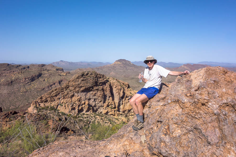
We made it to Bull Pasture
The air con at the Visitor Centre was a pleasant respite. And the ranger confirmed what we’d heard was likely a rattlesnake. It was now too hot for anything fun so time for a long, hot drive to Blythe.
Why Blythe? Mainly because it was a reasonable location to break up the drive to Joshua Tree National Park. It’s just over the state border (the Colorado River) between Arizona-California. What I hadn’t realised was it was only 100m above sea level (possibly the lowest we’d been all trip) which exacerbated the hot temperatures.
But before we got to Blythe we had to go through an unexpected military roadblock. Given we had driven quite some way from OPCNM by this stage we weren’t expecting it. The officer was highly unimpressed that our passports weren’t within reach and that we’d have to get out of the car to get them from the back. In the end he decided the danger to himself from us getting out the car was higher than his need to see our paperwork so we got waved through – with a stern warning to have paperwork ready in future. How are you supposed to know that there’s going to be a border checkpoint 2 hours from the border!?
Much of the driving we’d done to this point had been on a relatively quiet roads, and the few Interstate roads we’d driven on hadn’t been that busy. This changed once we hit the I-10 which runs between Phoenix and Los Angeles. There was a truck every 50m in the right-lane, and then a truck trying to overtake multiple other trucks every couple of hundred metres in the left lane. I was very happy we’d changed drivers just before the I-10 and I wasn’t having to deal with the chaos. I’ve never seen a road like it. Imagine if all these containers could be transported by rail!
Eventually we made it into Blythe – the hottest location of our trip at 45°C. We quickly checked into our motel where we were warned not to take a shower until after 6:30pm as there wouldn’t be any cold water as the pipes were exposed to the sun.
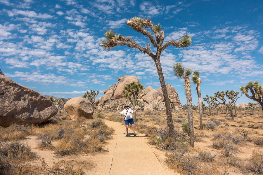
Joshua Tree National Park (California)
The next morning we headed out, as usual in the dark, to get to Joshua Tree National Park around 7am. We did a couple of short hikes straight-up: Bajada Nature Trail, Mastodon Peak Loop followed by breakfast at Cottonwood Spring.
The ranger at the Visitor Centre warned us not to hike after 10am but the temperatures weren’t any worse (in fact maybe marginally cooler) than what we’d had for the last few days. But Joshua Tree National Park attracts the masses so they need to keep their messaging aimed at the lowest level of competence. The park is full of signs warning you “Do not die today”. They certainly get enough selfies taken with them – hopefully the message, which is about safely walking in the heat in the desert, also gets through.
Bajada Nature Trail
Mastodon Peak – surrounded by granite
We proceeded to visit the Cholla Cactus Garden (incredible), Arch Rock and Heart Rock (insta favourites), but we drew the line at Skull Rock after seeing the number of cars stopped to visit it.
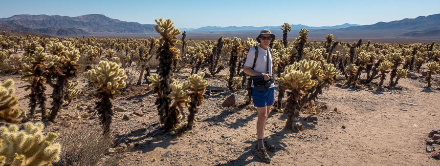
Cholla Cactus Garden
Arch Rock (creatively named…)
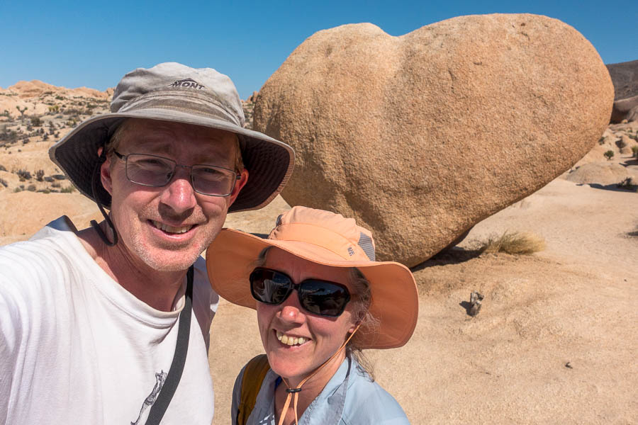
Heart Rock (unsurprisingly a fav of the insta world)
I was pleased to find some shade at one of the picnic areas for lunch and then in the early afternoon we visited the climbing area Conan’s Corridor, where we were unsuccessful in scrambling up onto the highest boulders. But we were the only ones there! So for a park as popular as Joshua Tree that’s winning.
on the way to Conan’s Corridor
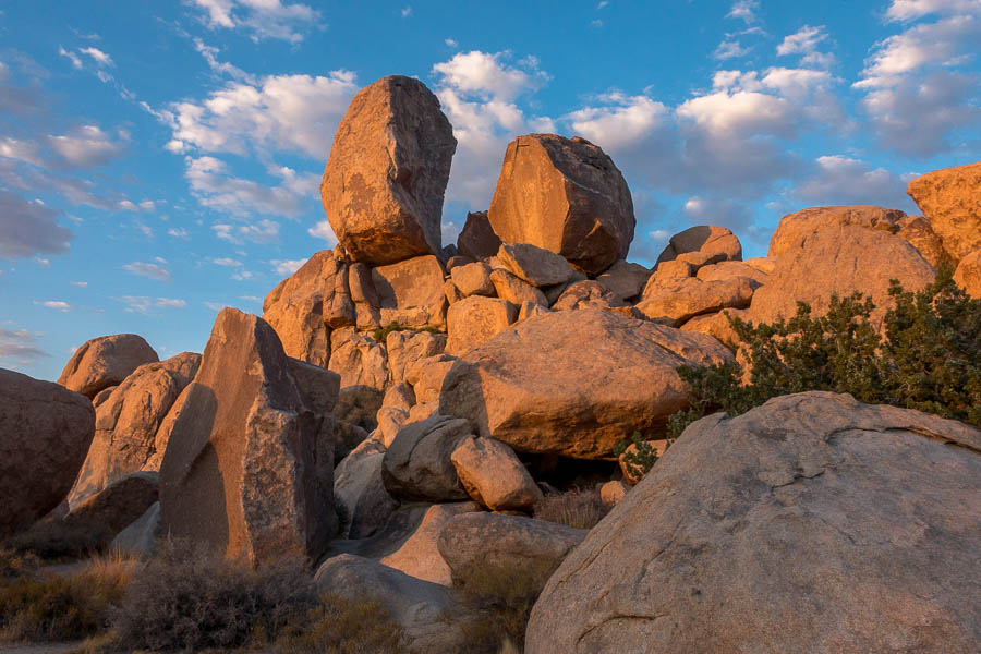
Deciding we’d knocked off enough in the heat we proceeded to Ryan Campground hoping we’d find shade there. The US National Park campgrounds generally have photos of the sites up on the booking page. I’d spent quite a lot of time looking at the photos before I’d booked our particular site – but that was a couple of months earlier – when I hadn’t been expecting 40°C temperatures! Fortunately my desire for a somewhat private site meant we had a large boulder that was casting shade so we had somewhere to hide for the afternoon.
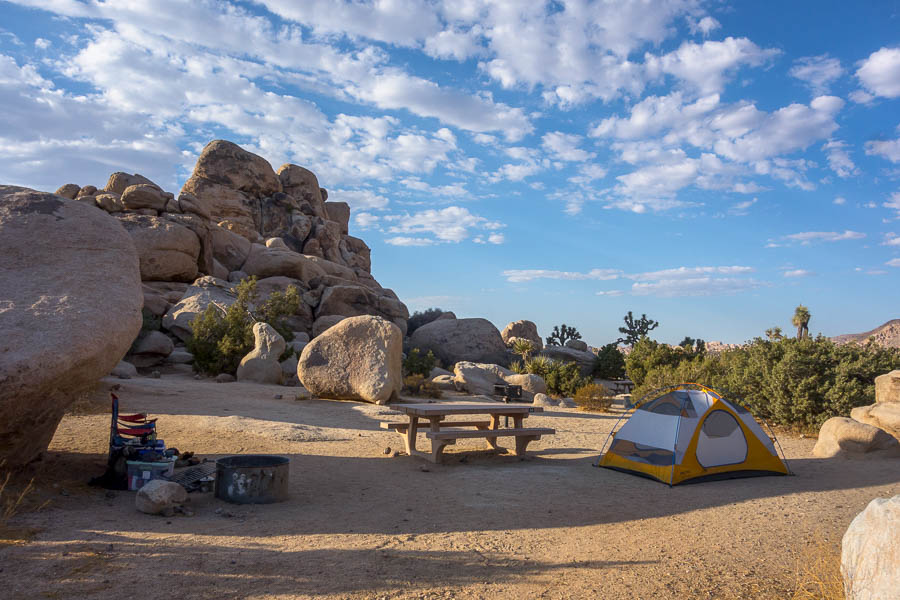
Shady campsite at Ryan Campground
In the late afternoon we wandered out, then clambered up to Tombstone Rock – which I discovered afterwards was one of the classic grade 13 climbs in the park. If I’d known perhaps we’d have a packed a few quickdraws!
View from the base of Tombstone Rock towards Ryan Campground
Tombstone Rock – a classic grade 13 climb gets you to the top (we scrambled to the base)

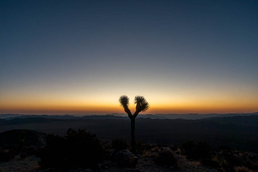
Joshua Trees at sunset
Tom had hoped to do a bit of star photography since Joshua Tree (along with almost every National Park we’d been) claimed to be an International Dark Skies Park. We had mistakenly thought this meant it should have good stargazing, especially since this is promoted as a key attraction of Joshua Tree. However, the designation just means the park has policies to support appropriate night lighting, and to educate the public. And while it might be a good night sky compared to say, being in Los Angeles, it really wasn’t very dark. The glow from LA was ever present on the western horizon.
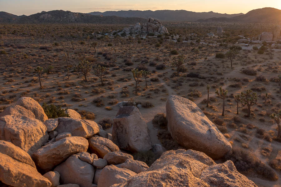
The next morning we’d planned to get up early (what!?) and hike up Ryan Mountain for sunrise. Some initial reluctance to get up was overcome when other cars started rolling out – one concern (excuse?) had been waking the other campers. It was pitch black when we started walking – because we were round the side of the mountain that blocked out the LA glow. It was well worth getting up for.
Early morning light from Ryan Mountain
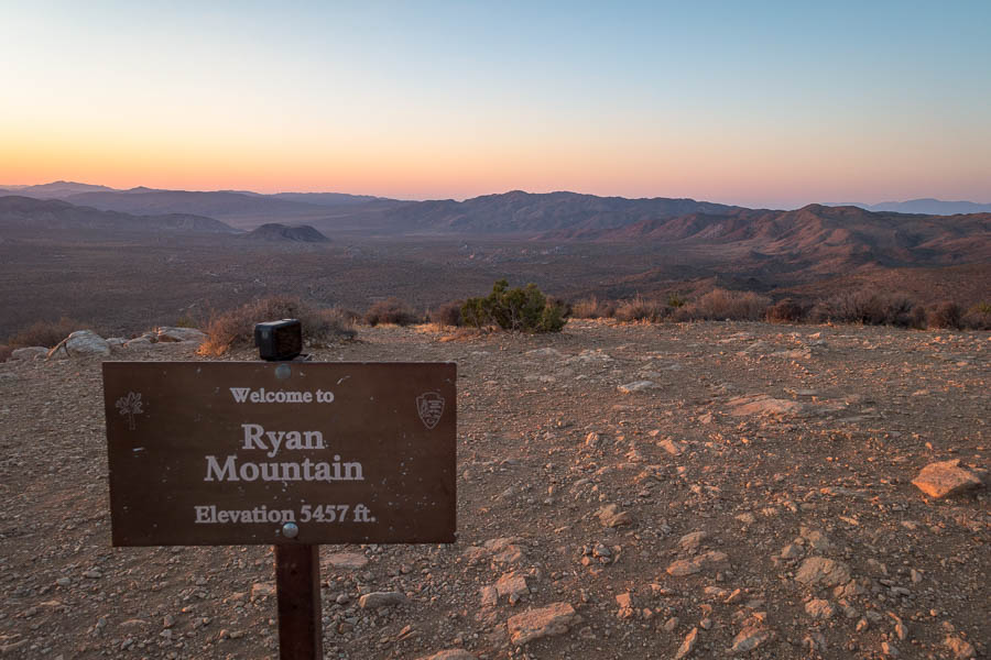
Views from Ryan Mountain
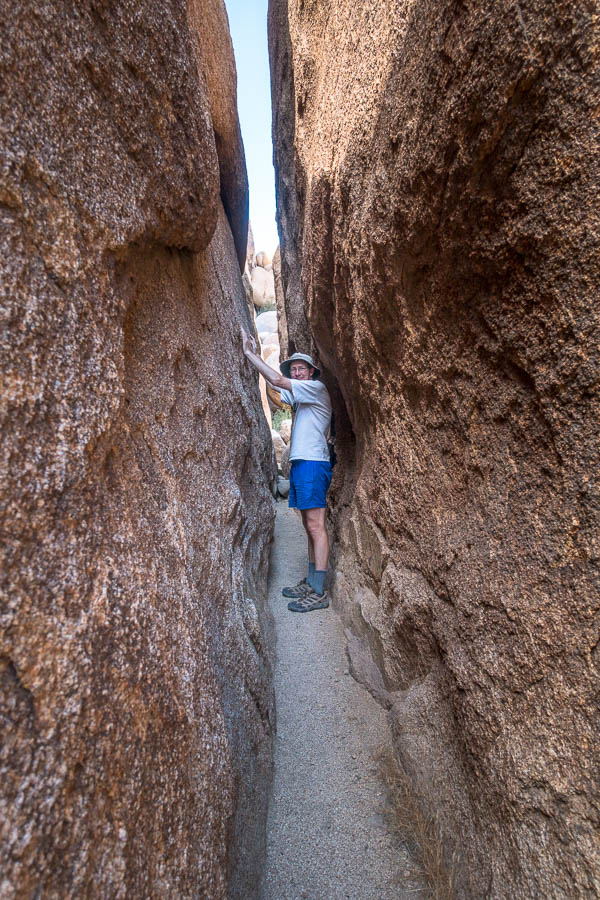
On our way back to camp we hit up the “Hall of Horrors”. It’s an interesting spot as while there is a car park and big sign there is no explanation of the name or a map. If you randomly pulled over there you would just wander around some Joshua Trees and boulders – which are nice enough, but probably be quite confused as to why there is a huge car park.
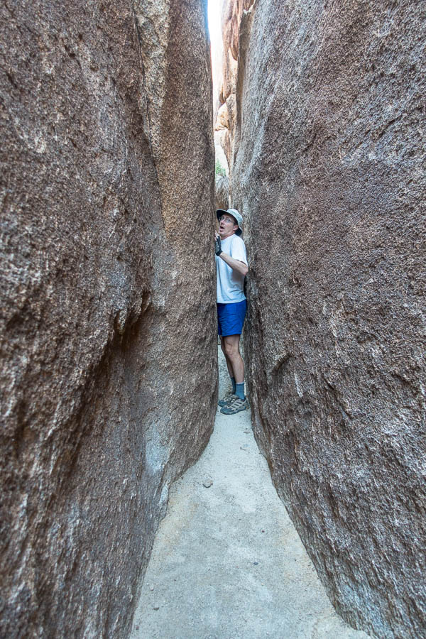
Hall of Horrors is a climbing area. A couple of mini-slot canyons, that you can loop together, became insta-famous and the park has conceded to the popularity by putting up signage and the car park. But, they’re not helping you find it! You need to know the “secret” way to get to the slots (don’t worry a quick google search will reveal all). We had it to ourselves – if you don’t count a swarm of bees. Obviously compared to what we have done in Utah this was pretty tame.
With two things ticked off for the morning and the temperatures already up there we figured we may as well have breakfast. We finished off our Joshua Tree visit with a couple more short walks – the Hidden Valley trail and the nature trail by Cap Rock.
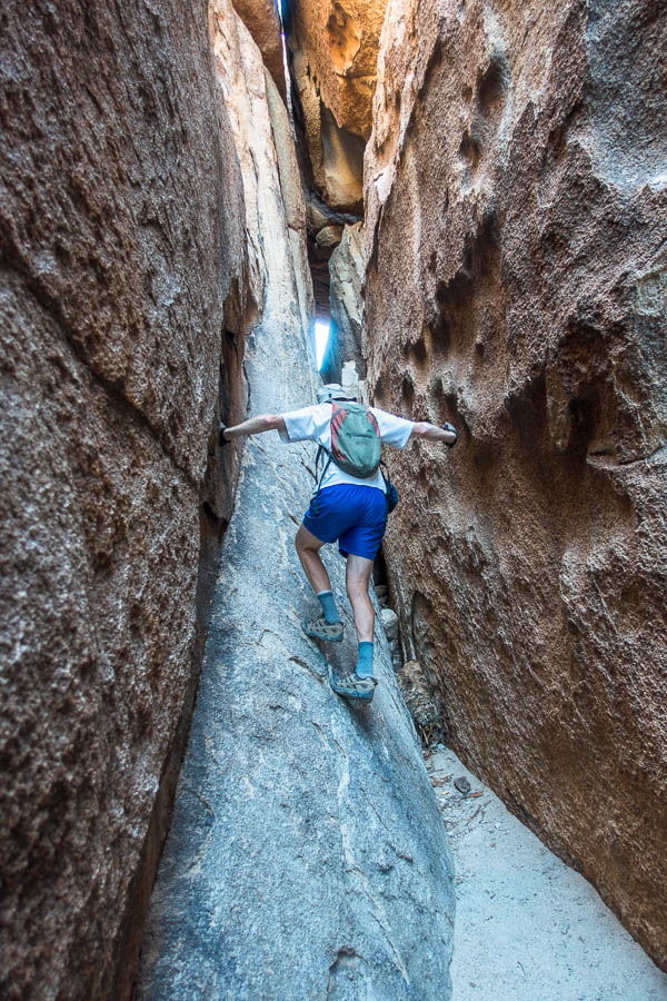
the “Hall of Horrors”
Oh my – so skinny!
Nature Trail loop with Cap Rock in the background
From there we headed out to 29 Palms and visited the Oasis of Mara and found some shade for an early lunch at Park Headquarters. To kill time and not melt before we could check into our motel we visited the Visitor Centre and then the ice cream parlour. Fortunately the ice cream parlour was not busy so we could sit there for a couple of hours without feeling guilty (except maybe for the “small” ice creams we had).
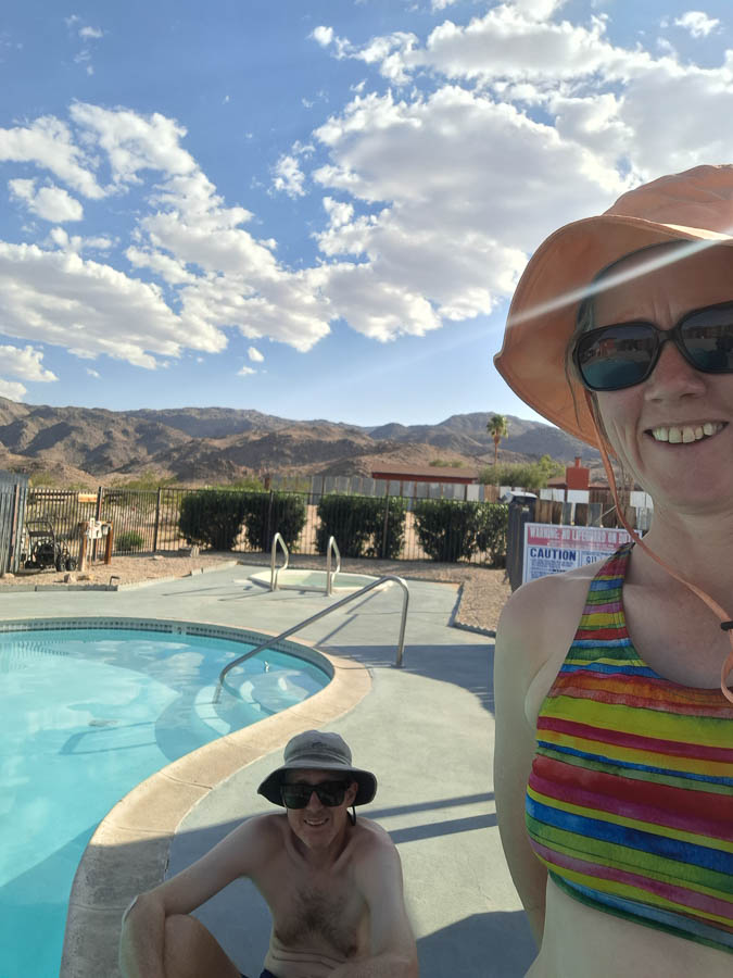
Our final overnight stop was at a motel that U2 had stayed at when getting photography done for their Joshua Tree Album – for what it’s worth 37 years later. More importantly in the present the motel did have a surprisingly cold swimming pool which was a welcome way to cool down, before the less appealing need to sort out all our stuff so we could have some hope of squeezing it into our bags to get on the plane the next day. We’d also managed to eat our way through most of the food we’d bought in Las Vegas at the start of the trip so that meant we could have a nice dinner out guilt-free.
Something besides air-con to cool us down!

Lovely meal out on our final night in the US (spot the hen’s party at the table behind us)
Our final day and our first sleep in for over a week? Of course I was awake anyway, so was pleased to find there was an excellent view of sunrise from the chairs outside our room.
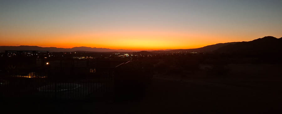
Sunrise over 29 Palms from our motel room
Eventually we set off on the final drive of the trip – 3-4 hours back to Las Vegas a large section through Mojave National Preserve. It looked like there were a few interesting detours in the area but being slightly pressed for time (and hot, of course) we didn’t stop.
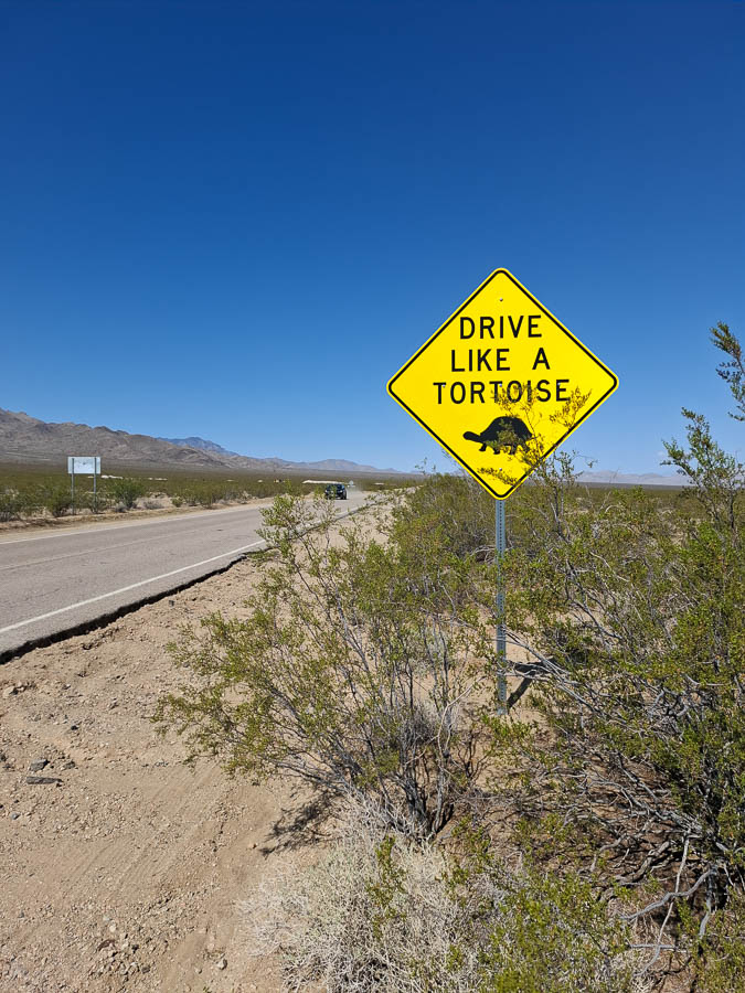
Frequently occurring road sign on our drive to Las Vegas
For some reason one of the chocolate producers in Las Vegas also had a cactus botanical gardens so we visited that, and got our free chocolate, before making our way to the airport. (As an aside, Las Vegas’ climate does not seem like the best location for chocolate making!)
We didn’t quite get through Tom’s full music collection. We had just started the Ys as were driving around Las Vegas. Some poor directing by me was just a ploy to drag out the driving time to see if we could get to the end – but we are left wondering if there were any songs starting with Z.
Tom hadn’t yet fully packed and getting everything balanced appropriately for weight & volume between our bags was proving challenging. Fortunately the airline staff member managed to magic up a third bag tag for us free of charge which alleviated a large amount of stress. And so then it was just one short (to LA) and one long and painful flight (to Sydney) before our US adventure was over.
Back to the main trip page