
Remutakas (18-19 Dec 2022)
We had hoped to the do the Tararua Southern Crossing but with an uncertain weather forecast and too many logistics we ended up going with a logistically-easier option in the Remutakas. We carried our overnight packs for both days, even though for the first day we didn’t need to. Good thing we did though as our legs were definitely telling us about the lack of pack walking in the last few months.
It was a drizzly day when we got dropped off. The forecast said it was going to clear so we opted to start with the Orongorongo walking track with the hope that by the time we got up on the ridge later in the afternoon we’d get some views.
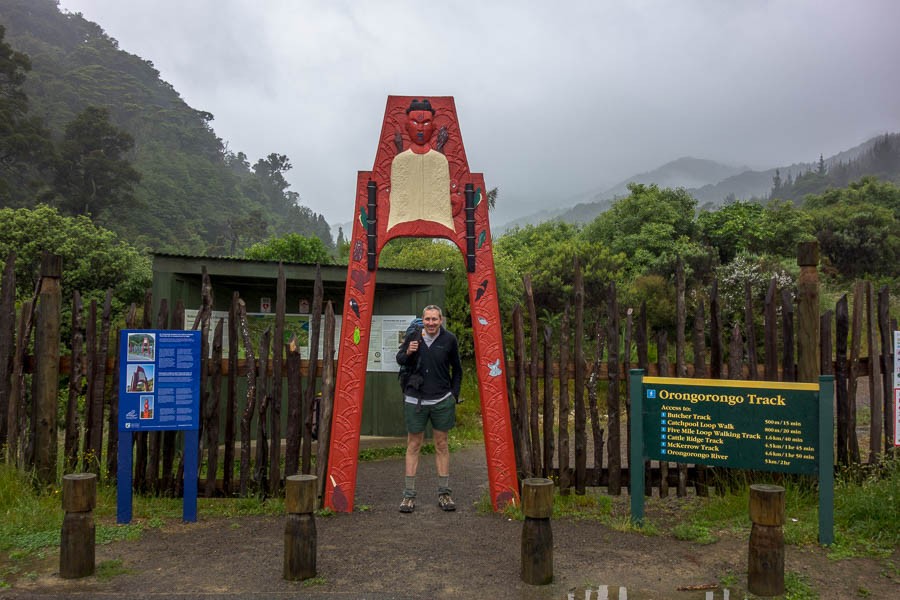
The start in the drizzle
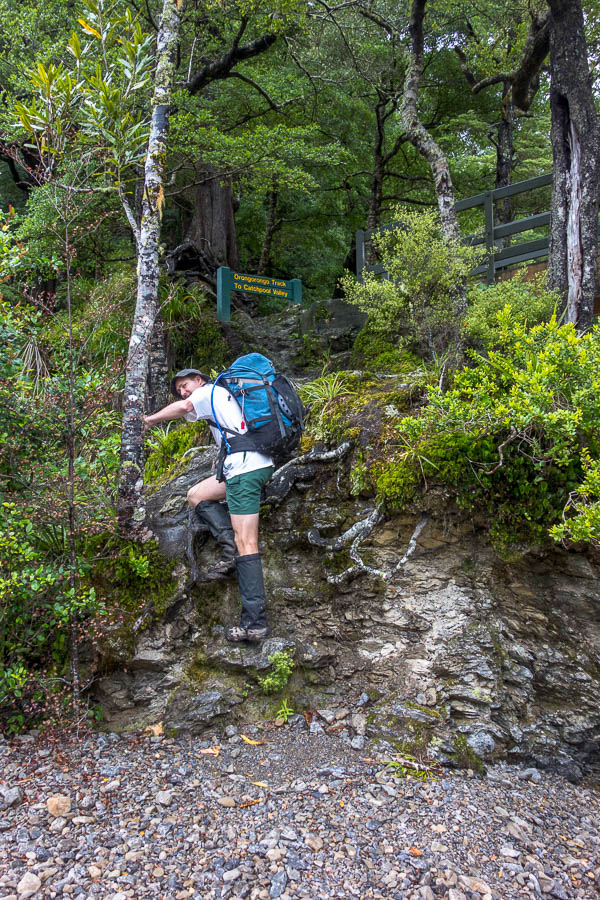
After fun times playing with the wind-up bird calls near the start we soon got underway. I could soon see why this is “one of New Zealand’s most popular walks”. The forest was delightful and largely kept out the rain. A most enjoyable morning of walking before morning tea at the confluence of Turere Stream and the Orongorongo River.

What is the average weight of these 15 people?

Morning tea by the Turere Bridge
The weather didn’t seem to be going anywhere as we set off up Cattle Ridge Track.
Heading back up the track after morning tea
Another stiff ascent (this time ~400m with packs) rewarded us with absolutely no views. And the track got more overgrown as we went, so by the time we started descending Butchers Track our shoes were sodden.

“magnificent views of Wellington Harbour” said the track description
The campsite was not designed for walkers in mind – another few hundred metres down the road before we found the entrance. We found a nice spot in the small tent area that I’d reserved – though when we were arrived we were the sole occupants of the whole place so we really had our pick of anywhere.
We were glad to find a large covered area (well large for 2 people) where we could dry out. The rain largely let up and we got a little bit of sun.
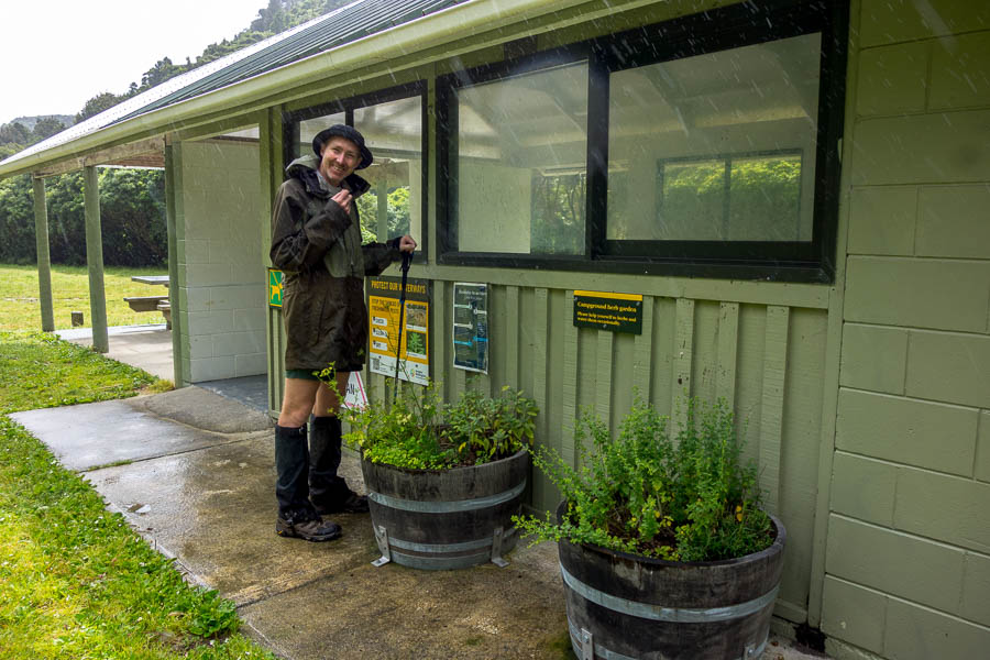
Tom not minding the rain since we have a herb garden at the campground!

Fortunately we can dry out under cover
We were beginning to think we’d be the only ones for the night when around 7pm various parties began arriving. We watched on fascinated as a family pulled up in their new-looking ute and proceeded to pull out what appeared to be brand new camping gear. And then blow up their tent – no poles required it seems? Who needs television.
Our second day involved walking out to Wainuiomata where we could get public transport. Five Mile Creek Track also had wind-up bird noises so that delayed us getting going. Five Mile Creek Track was an enjoyable ascent to where it met the Clay Ridge Track. From there things got a bit steeper – but that was what we were there for – getting hills in our legs. Eventually we walked over the summit of Mt McKerrow (706m) – though there is just a knee-high metal pipe to mark the spot. We were fortunate that the cloud lifted enough for us to get views on the occasional spots where the forest opened.

Forest walking the next day

Glimpses of Wellington Harbour

Woohoo, some views!
Unfortunately once we started descending off Mt McKerrow the track deteriorated into bog. Every time I thought we might be through the worst of it we hit another patch. I’m not sure which surface I dislike walking on more – sand or mud – either way they are very close to the bottom of my least favoured.
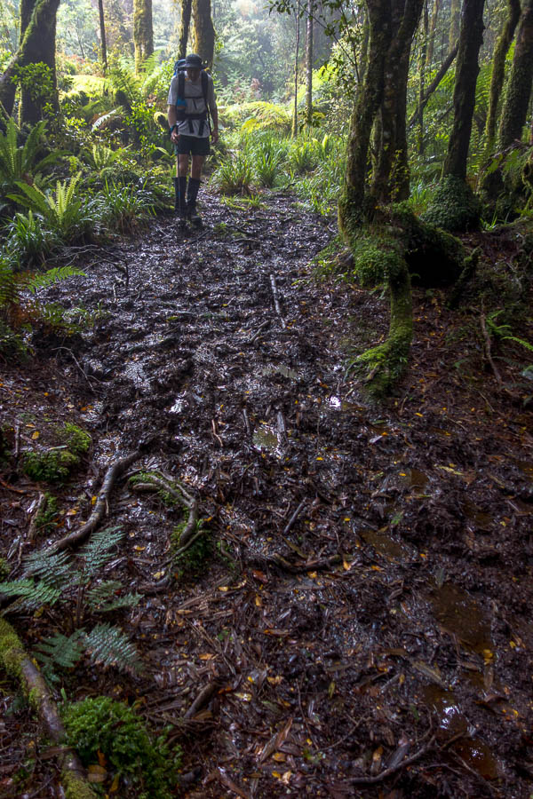
Unfortunately much of the second day was like this
Eventually the mud reduced and we made good time in the bottom section fortuitously popping out at Hine Road 5 minutes before a bus was due.

Beautiful weather by the time we got to Wainuiomata