Kumano Kodo – Japan (March 2016) – Part 1

March in Japan is early Spring and depending on location there is potentially still a lot of snow on higher peaks – not a time where there is a lot of choice for hiking sans crampons. I was going to be in Japan anyway and I’d already booked additional days to go hiking so I was searching for a snow-free hiking location.

Initially I’d considered doing day walks around the Tokyo / Fuji area but I struggled to come up with a cohesive plan that wasn’t going to involve negotiating public transport every day. I was thrilled when I discovered a multi-day hike option on the Kii Peninsula – along with the excellent English-language website of the Tanabe Tourist Board (http://www.tb-kumano.jp/en/). The website allows you to pick accommodation, book a luggage shuttle (if desired), order lunch boxes and provides model itineraries alongside information on how to ride a local bus and Japanese bath etiquette. In short it makes the planning easy for an area where there’s not much English spoken.
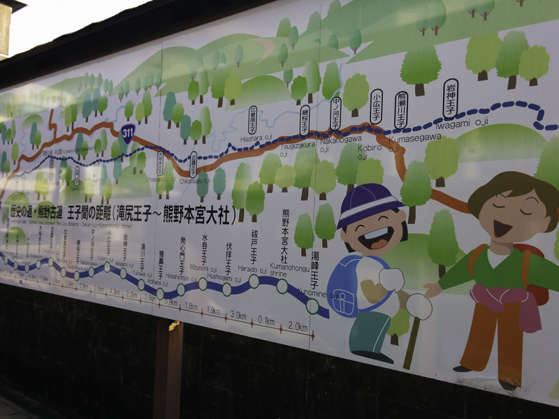
IMG_20160315_074628

Signboard at the bus stop. Hikers are singers!
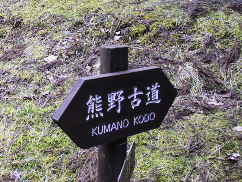
IMG_8492

The track is well-marked, with signs like this frequently.

I settled on the Kumano Kodo Nakahechi Route which is a 66-70km (depending on exactly which sections you walk) route normally done over 4 days (though fit people could condense to 3). The Kumano Kodo is a pilgrimage route – used since the 10th Century leading to several major shrines. It’s definitely not wilderness walking but it is a great way to experience Japanese culture and food while getting some walking in. The Kii Peninsula is a very wet area – with annual rainfall of 2,887mm (about twice Sydney’s average rainfall). The wettest time of the year is June – Sept but March still averages 157mm. I got a lucky weather window – no rain at all while I was walking.
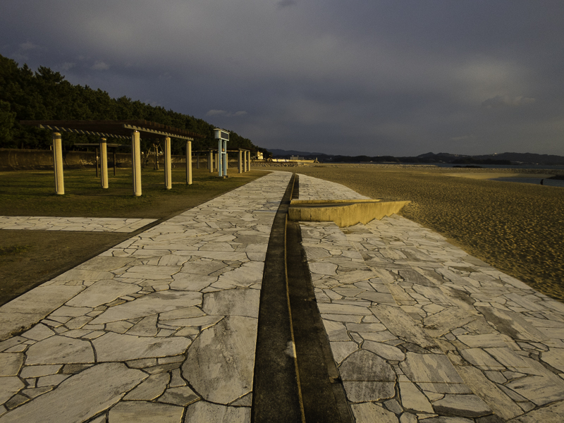
IMG_8453

Beach in Tanabe

The day after Dream Cup I got the train to Kii-Tanabe and had a night there before taking a bus to the start of the route at Takijiri-oji.
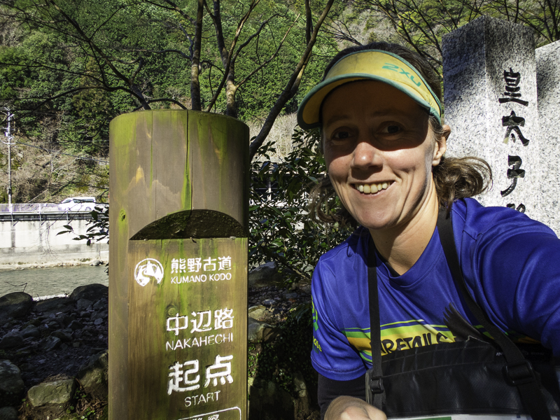
IMG_8457

The start of the Nakahechi Route at Takijiri-Oji

My first day of walking was from Takijiri-Oji to Chikatsuyu – 14km, with 600m ascent and 400m descent. There was a steep ascent from the get-go.
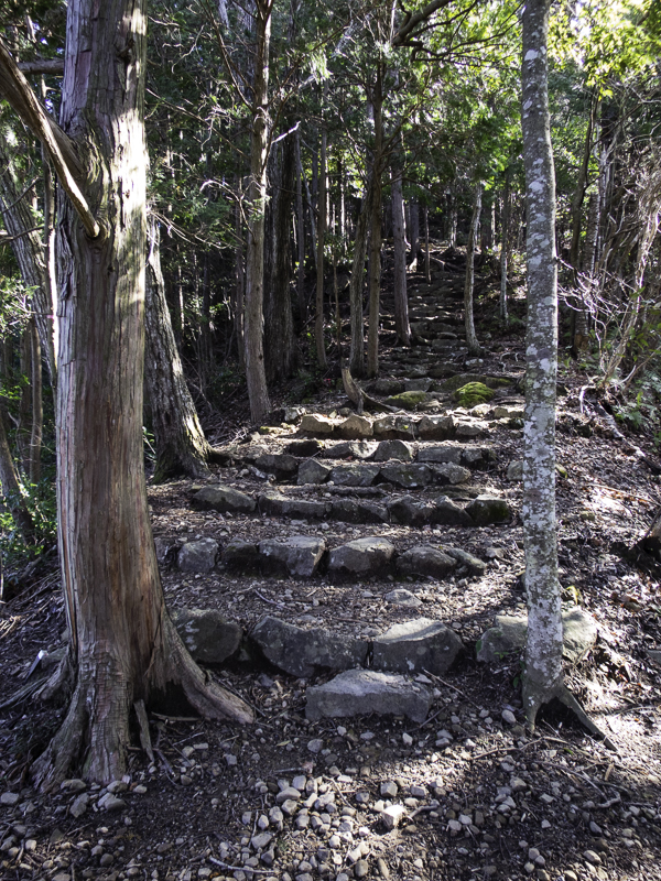
IMG_8462

Ascent from the beginning of Day 1

I only saw 3 other people on the route all day. It was a beautiful blue sky day but bitterly cold despite the sun. My down jacket was out at morning tea to try and keep the chill wind out.
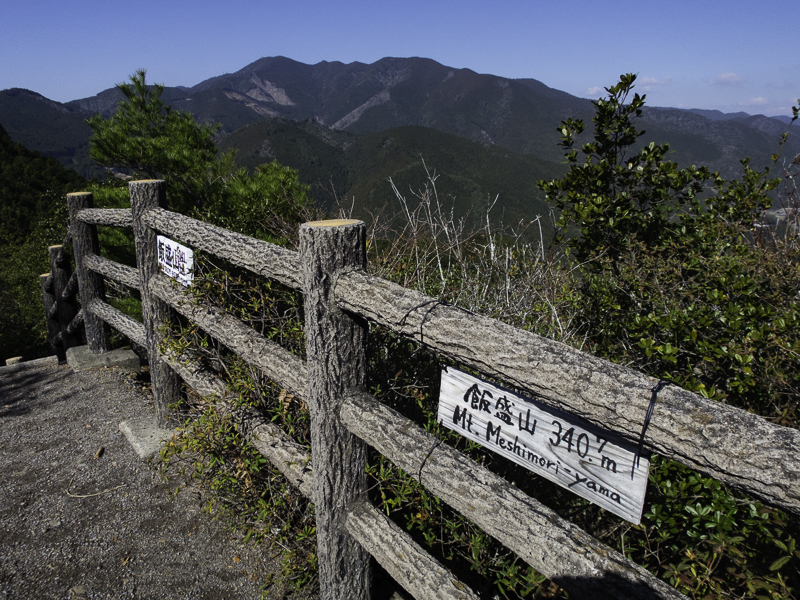
IMG_8463

Views from a lookout

IMG_8464

Colourful scarecrows lined the road into the small village of Takahara
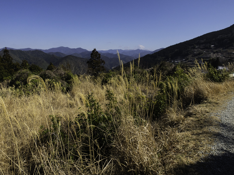
IMG_8465

Views leading into Takahara

IMG_8470

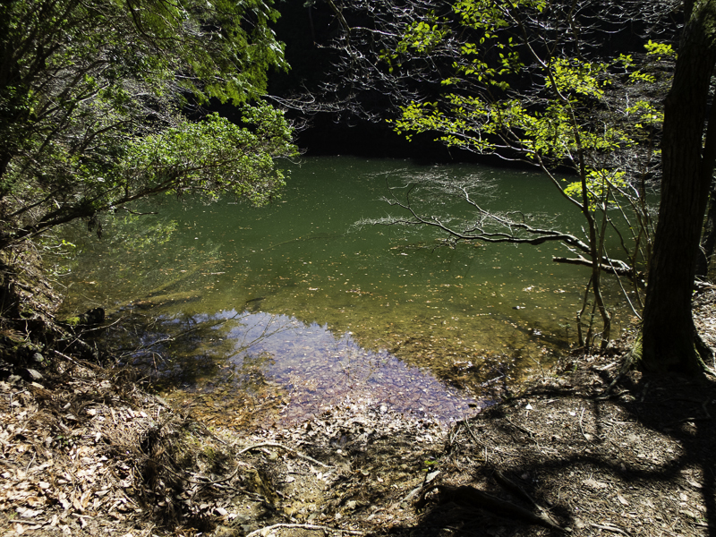
The only pool I saw along the entire route
IMG_8473

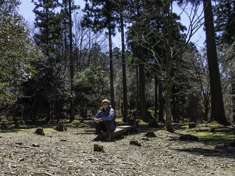
Lovely spot for lunch at the Jujo-oji clearing

I had arranged to stay at minshukus, family run guesthouses, each night. My first night was spent at Minshuku Chikatsuyu. One of the great things about Japan is their bathing culture – and along this route there are several hot springs. The onsen at Minshuku Chikatsuyu was lovely and an excellent way to end a day of walking. The minshukus generally provide full board i.e. dinner and breakfast, and optionally a lunch box for the next day. The meals at every place I stayed were delicious and substantial.
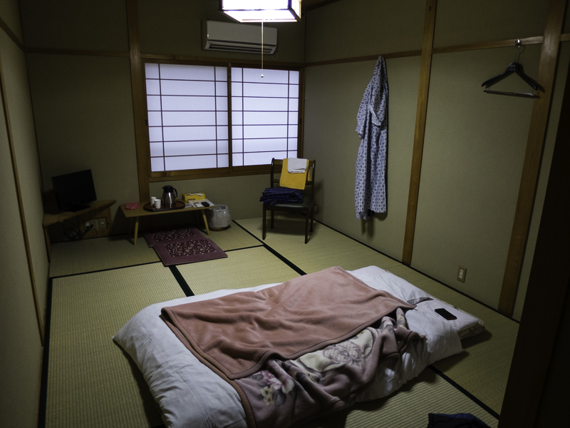
IMG_8480

My room at Minshuku Chikatsuyu

IMG_20160316_122010

Lunchbox for Day 2

After dinner on the first night my host sat me down and talked me through the seriousness of my next day’s walk. It was a significantly longer day – 25km compared to the 14km, and he wanted to make sure I understood the timing I needed to hit in order to get to my next destination on time (being late for dinner which is normally served at 6pm is a big no, no). I was well aware of the route but I’m guessing a lot of people turn up without having done that much research and get in over their heads. Normally I wouldn’t be worried but I had a few niggles so I was concerned about how my body was going to hold up. An advantage of walking in this area is the bus network which allows you to skip sections / modify your route depending on weather/fitness/inclination. Given the fine weather forecast I was reluctant to use a bus so I just crossed my fingers and spent a lot of time with my lacrosse ball trying to loosen up my muscles that night!
IMG_8483

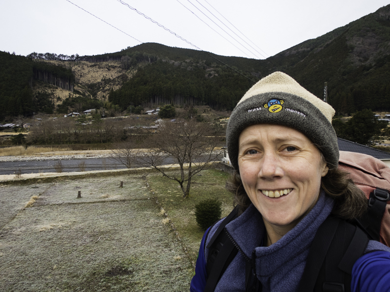
Leaving Chikatsuyu at 7:30am on Day 2

As it turned out Day 2 wasn’t that bad – yes, there was 25km to cover (850m ascent / 1000 descent), but the first 7km was largely flat and on rural (asphalt) roads, likewise the final 7km. This left 11km in the middle which was on bush tracks and went over 3 passes.
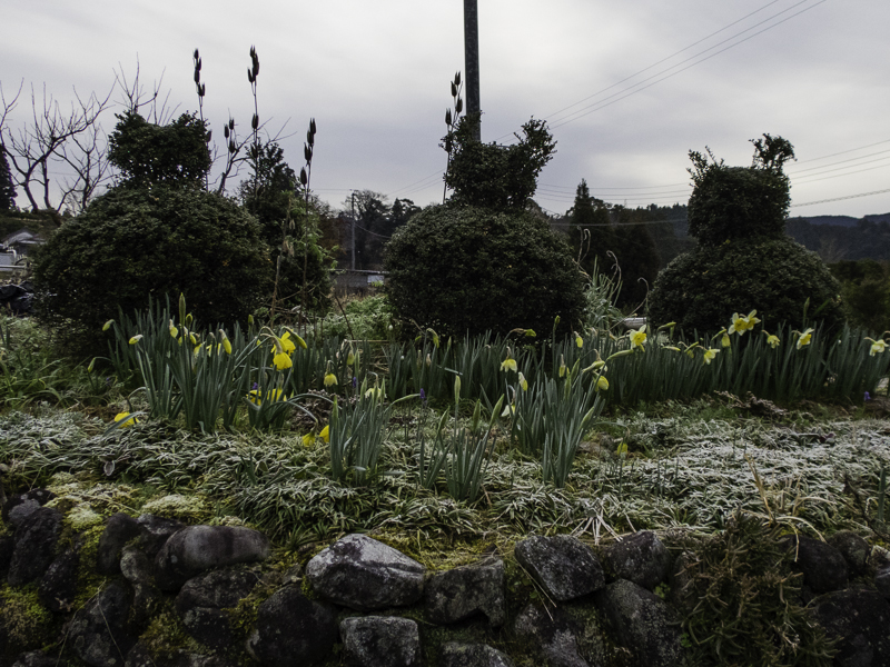
IMG_8484

Overnight frost along with some playful hedge trimming
IMG_8485

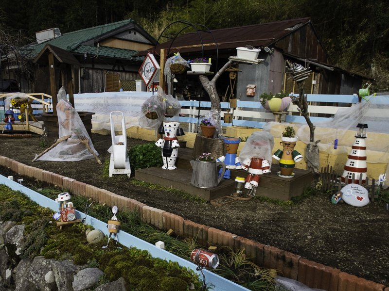
The gardens along the rural roads were entertaining
IMG_8486

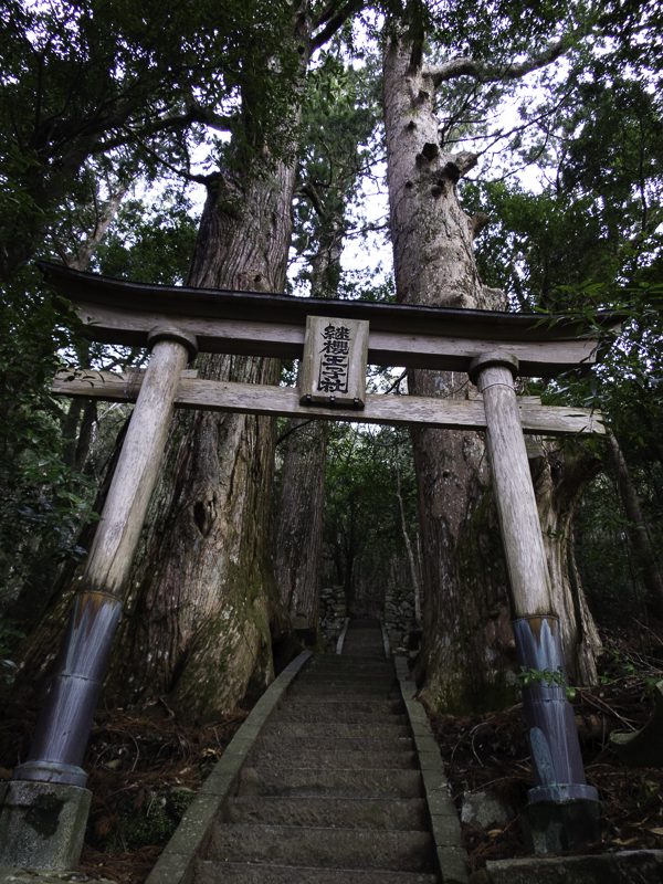
The impressive cedars at Tsugizakura-oji
IMG_8493

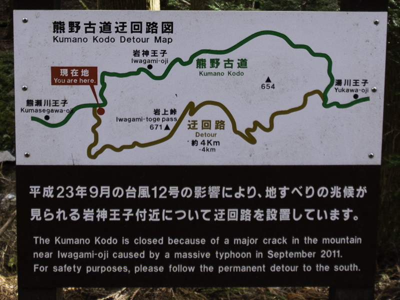
Permanent detour due to “a major crack in the mountain”!
IMG_8496

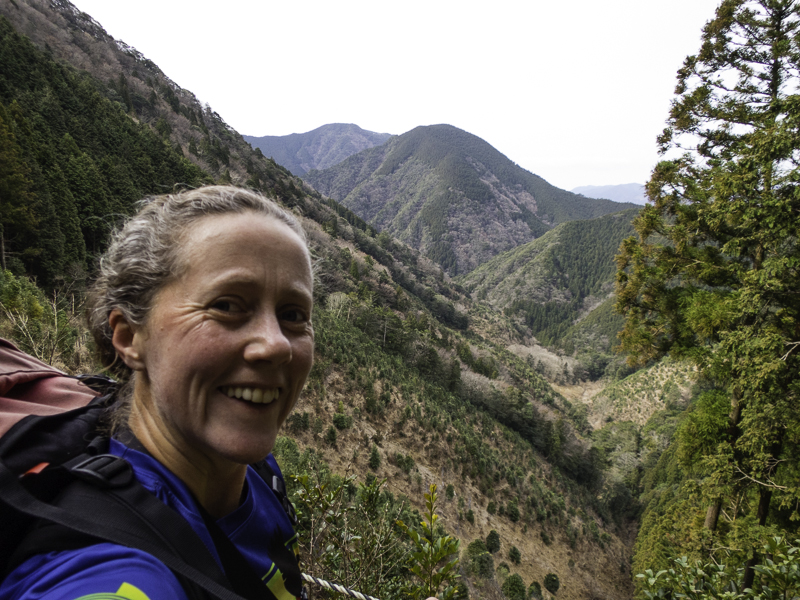
About to cross the highest pass on Day 2 (Iwagami-Toge 671m)
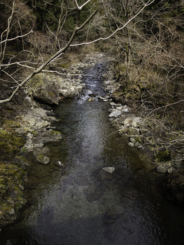
IMG_8498

Beautiful clear streams are features of the area
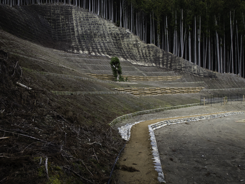
IMG_8500

There were some fairly serious land stabilisation works along the way.
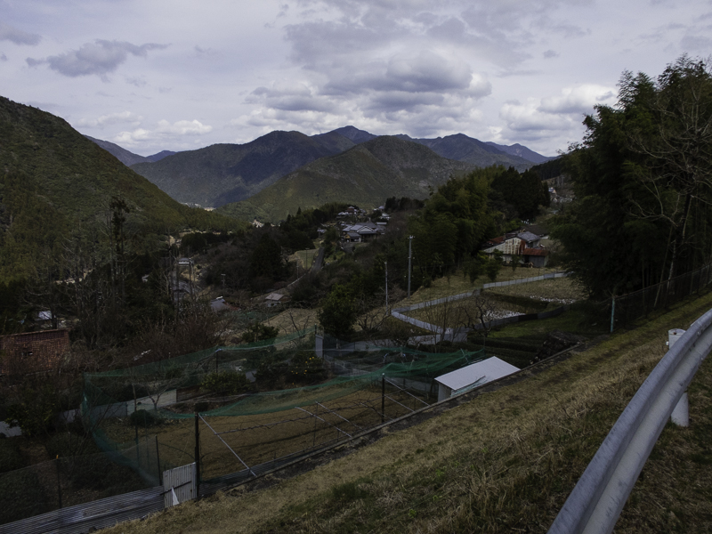
IMG_8504

Typical rural scene – on the approach into Hongu
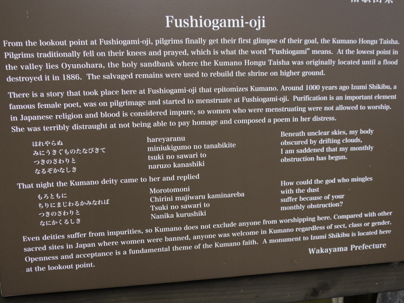
IMG_8507

Along the route there were many oji (minor shrines)

IMG_8508

Looking towards Hongu

IMG_8509

Sadly (?) this was closest I got to seeing any snakes

I made it to Hongu by 2:30pm, having left Chikatsuyu at 7:40am. This left me a good amount of time for checking out the shrine in Hongu, and Oyunohara the largest Torii gate in Japan.
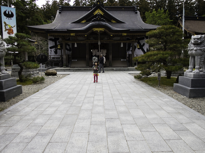
IMG_8511

Kumano Hongu Taisha grand shrine

IMG_8506

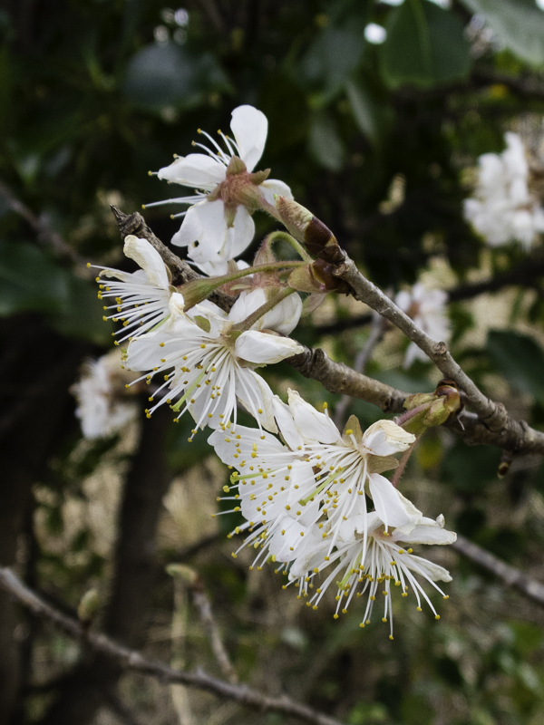
Some cherry blossoms had started to bloom
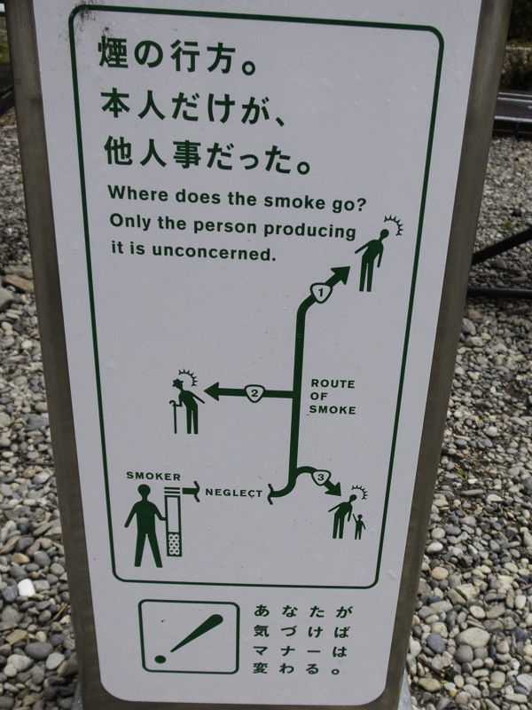
IMG_8512

Love the Japanese signs!

IMG_8514

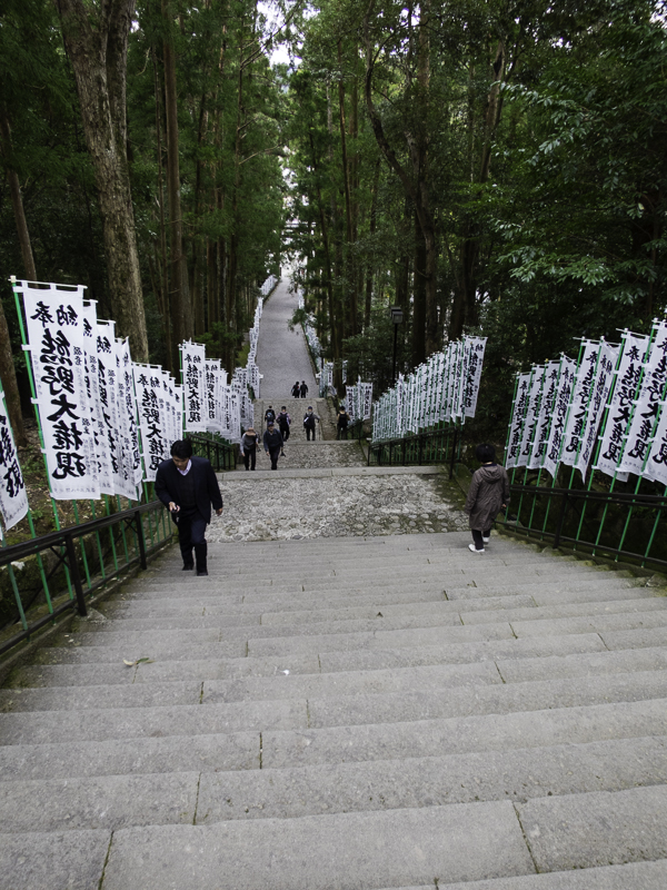
Stairs leading up to the shrine

I had one of the best coffees of my trip at the café at the shrine entrance.
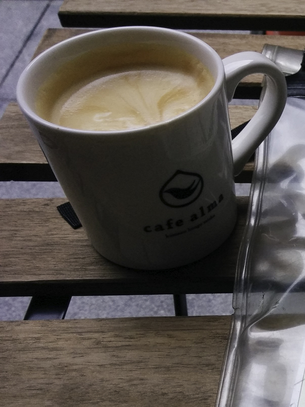
IMG_20160316_145222

Coffee at Cafe Alma at the shrine entrance
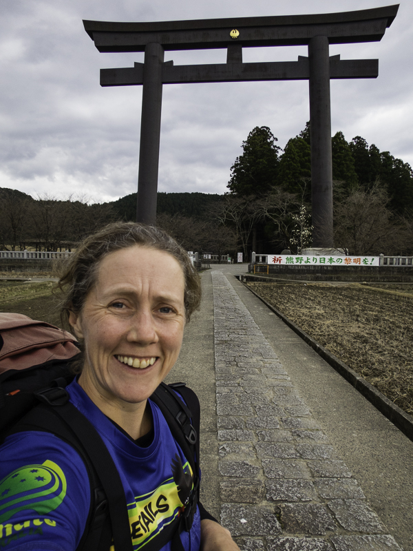
IMG_8517

Oyunohara, the largest Torii gate in Japan (33.9 tall / 42m wide)
IMG_8518

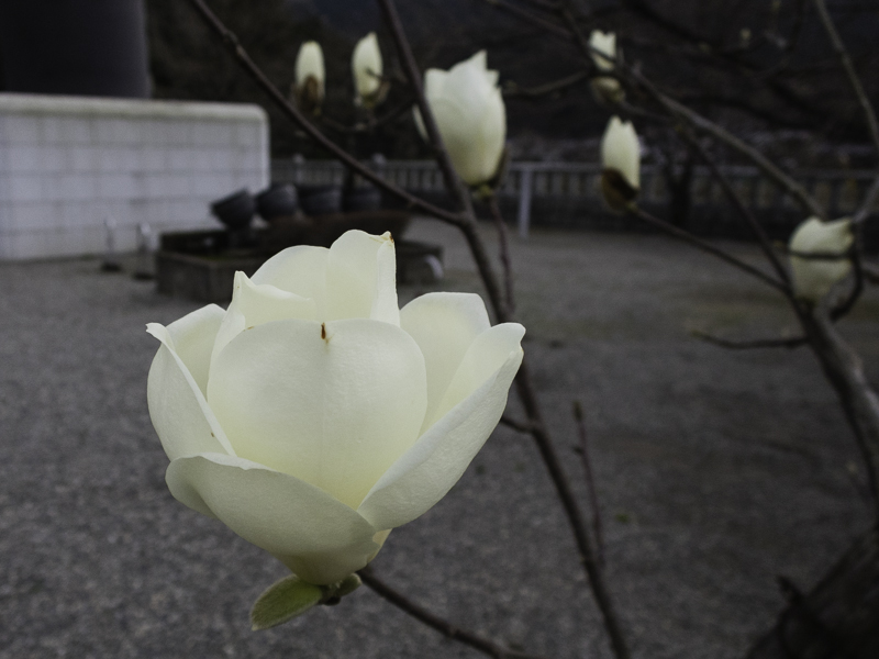
Lots of signs of spring

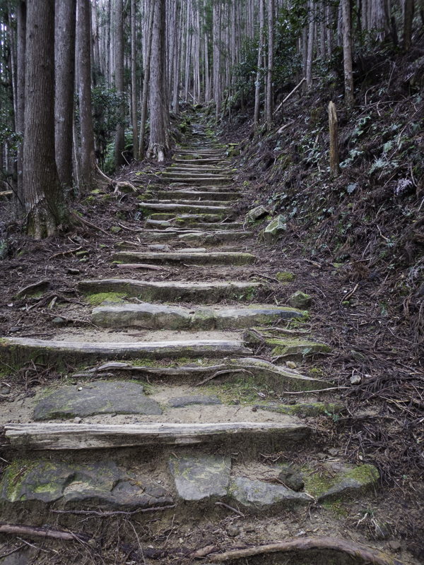
From Hongu I needed to get to Yunomine Onsen where I was booked to stay for the night. I could either get a bus for 10 minutes, or walk an additional 3.4km (including a 300m ascent and 200m descent!) to get there. I had been sure I would get the bus, but my coffee re-invigorated me and having walking to the Torii gate I realised I’d already covered 1 km of the 3.4km so I decided to do the Danichi-Goe section of the route.
IMG_8523

The start of the optional Danichi-Goe section (300m ascent/200m descent)

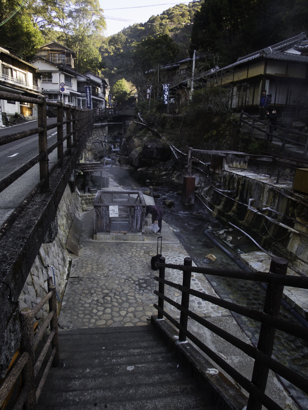
Yunomine Onsen is a small village famous for its hot springs. All of the accommodation in the village has hot spring fed baths. It was wonderful to soak in the batch at Minshuku Teruteya after almost 30km of walking.
IMG_8527

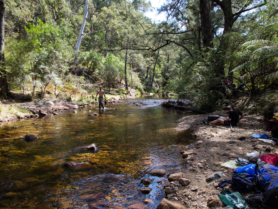
The main street of Yunomine Onsen village. The lady in the middle of the photo is cooking eggs in the communal cooking hot spring.
 

 Continue to Part 2

Tabletop Traverse, Deua NP – October 2015


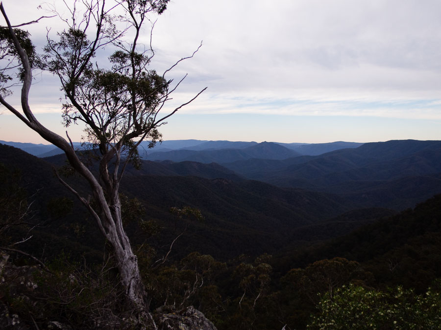
Just 5 days after getting back from our Africa trip was the October long weekend. Of course I needed to get away bushwalking! The trip was in the Deua NP 4-5 hours south of Sydney. After some fairly ordinary traffic getting out of town on Friday afternoon Caro & I got to camp at Snowball around 9:30pm. We had an early start Saturday with a big day ahead of us. The morning was spent descending to Woila clearing – it was fairly slow going with lots of undergrowth.
IMG_8029

Lunch at the creek was most pleasant, if you ignored the evidence of cows. We hydrated as best we could, loaded up the water before starting on the ascent for the afternoon.

IMG_8036

The afternoon was a constant slog up – and we were unfortunate that summer had arrived early – temperatures were around 30C.

IMG_8041

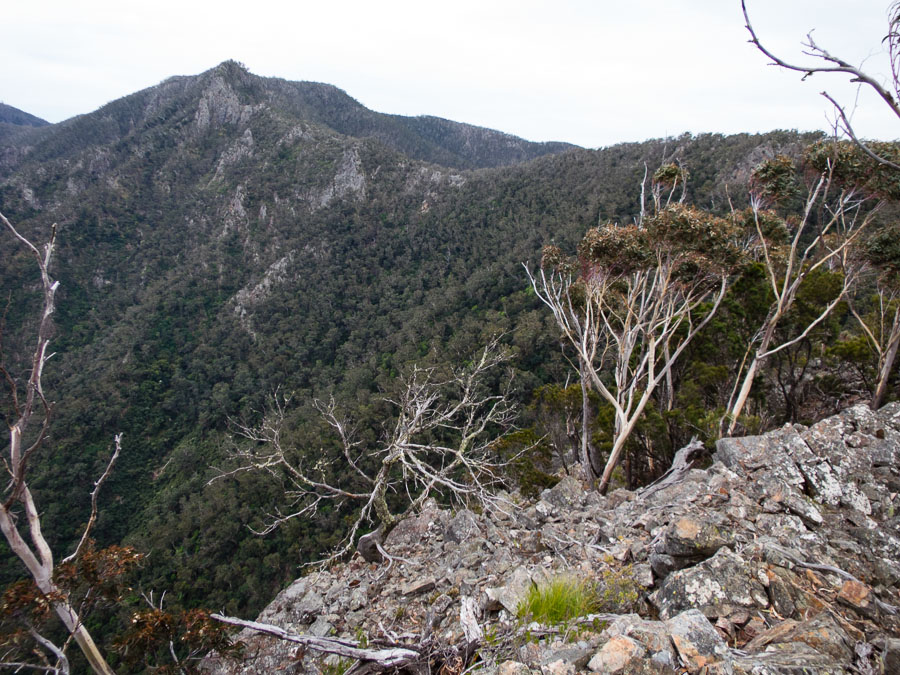
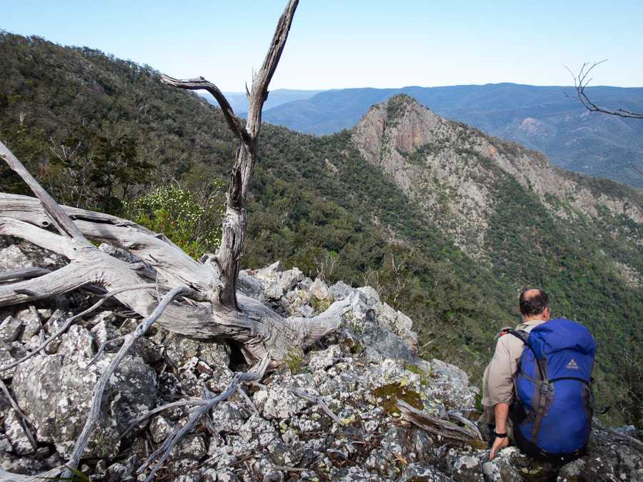
We got some fantastic views of our route – Scout Hat (right) and Tabletop (left) shown here.

IMG_8042

We ended up making camp well-short of our original goal. Camping in a saddle, our party of 8 found flat-ish spots where we could lie down for the night. It was very windy during the night which led to a mostly sleepless night.

IMG_8048

Another early start – with the immediate challenge of ascending Scout Hat.

IMG_8050

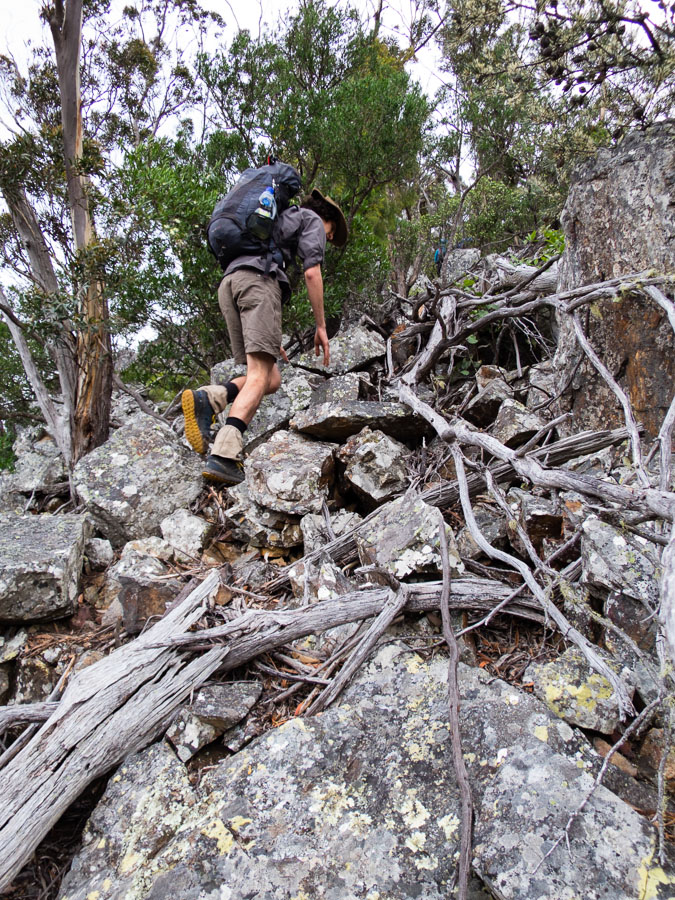
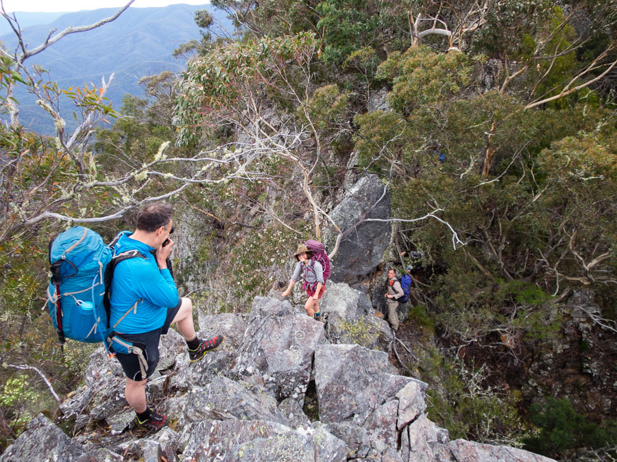
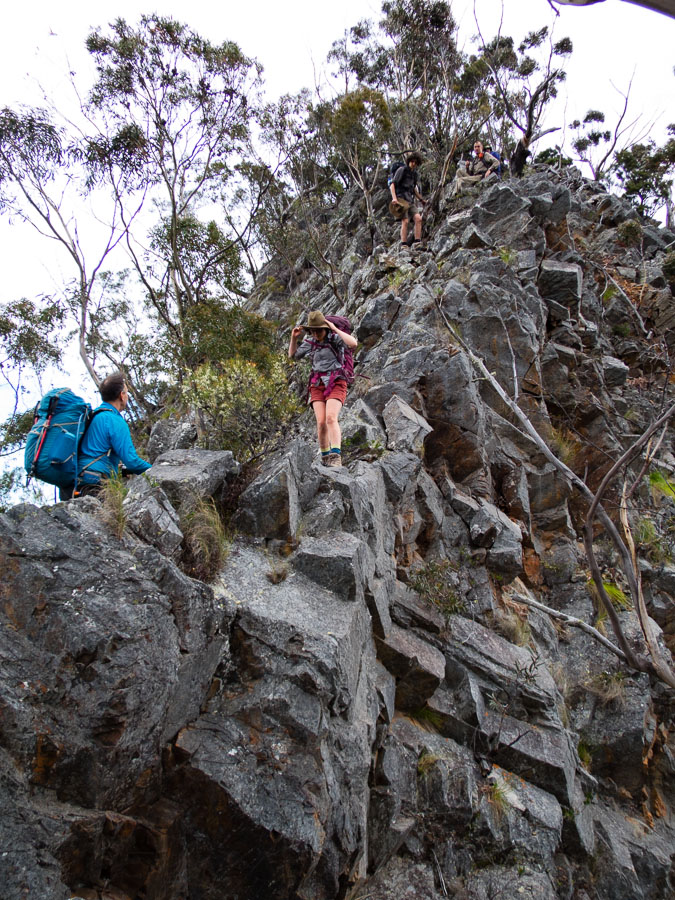
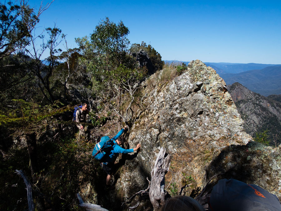
There was exposed scrambling on narrow ridges. The wind hadn’t really let up so it all felt a little precarious!

IMG_8058


Still a long way to Tabletop.

IMG_8061

A particularly exposed section of the descent off Scout Hat.

IMG_8067 IMG_8078

Once past Scout Hat it wasn’t completely straight-forward…

IMG_8083

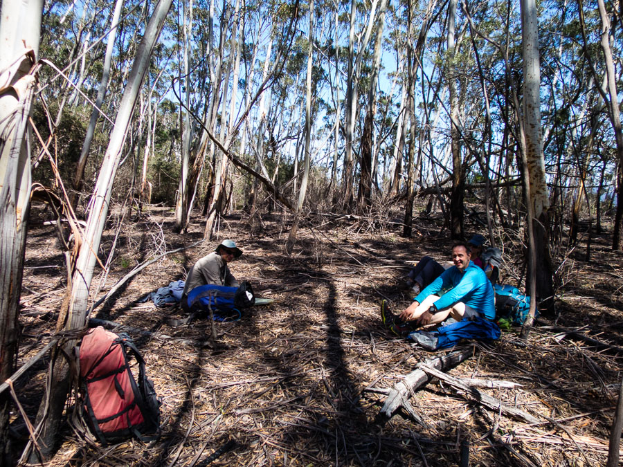
Four hours after leaving camp we made it to Tabletop – the first flat ground we’d encountered in that time! We enjoyed a cup of tea and a long break here.

IMG_8085

Then we pushed onto Horseshoe Point, our camp for night 2 and where John had cached 18l of water. It was a lovely spot.

IMG_8101 IMG_8106 IMG_8109

Vivien and I collected some water from a nearby (40 mins walk) spring. We had split groups earlier in the day – with the advance party making an attempt on Mother Woila. They had collected water during dusk on their way back and clearly hadn’t managed to find the nice clear sump we filled up from.
IMG_8117

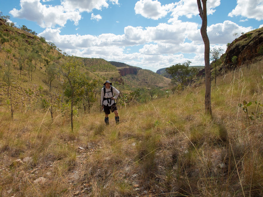
Day 3 was potentially going to be a boring fire-trail bash but our fearless leader decided on a cross-country short cut. It ended up being lovely walking. Good call.
IMG_8125

The final push back to the cars. A fantastic long weekend in rarely visited country.

IMG_8133

Kimberley exploring (June 2015) – Part II

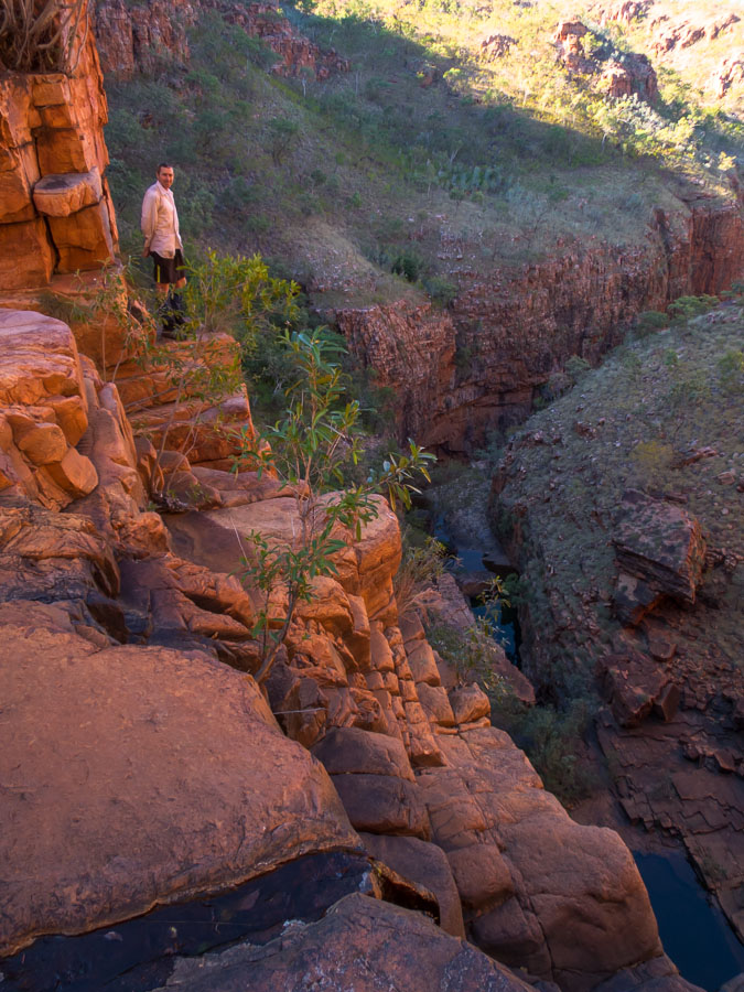
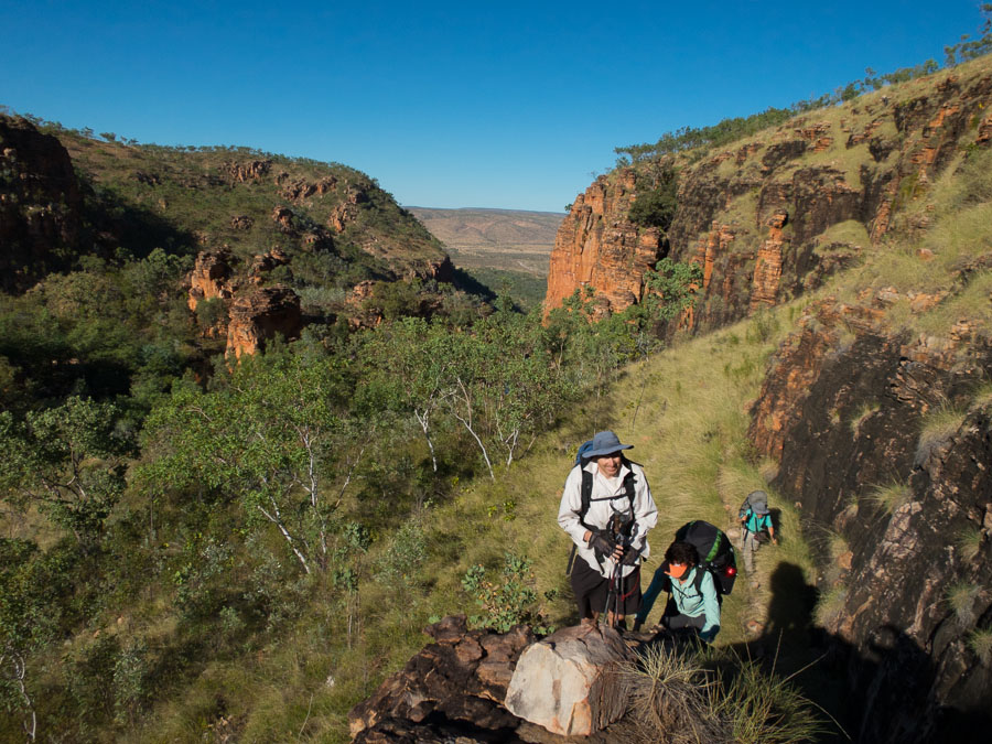
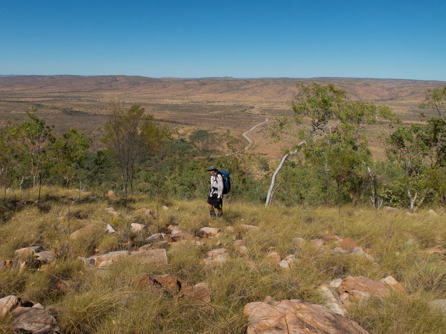
In our second week we headed to Emma Gorge and the Cockburn ranges. Despite being only a couple of hundred kilometres apart the landscapes were quite different.

IMG_9495

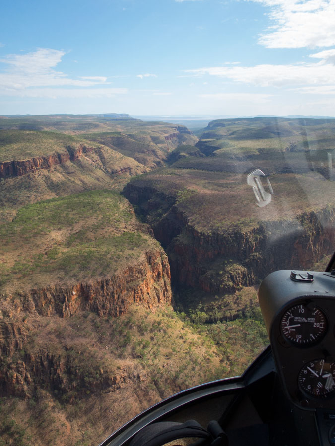
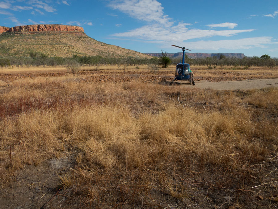
We got an exciting preview of our week to come as we got a helicopter to drop us off at the other end of the range.

IMG_9499 IMG_9501

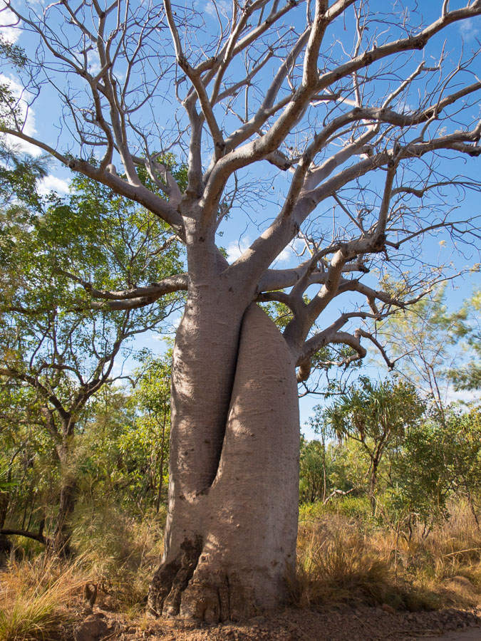
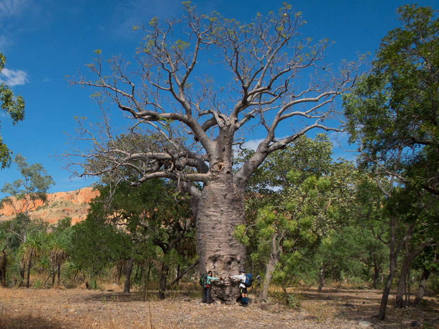
We got very excited by the Boab trees.

IMG_9504

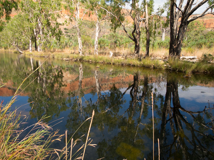
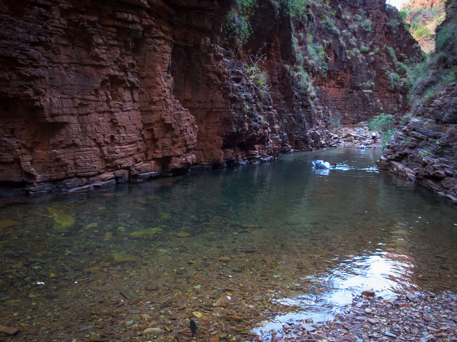
And had a most delightful morning tea stop swimming at this waterhole.

IMG_9505

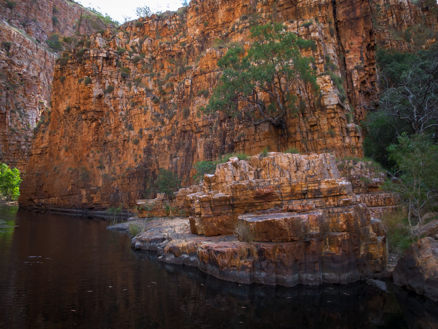
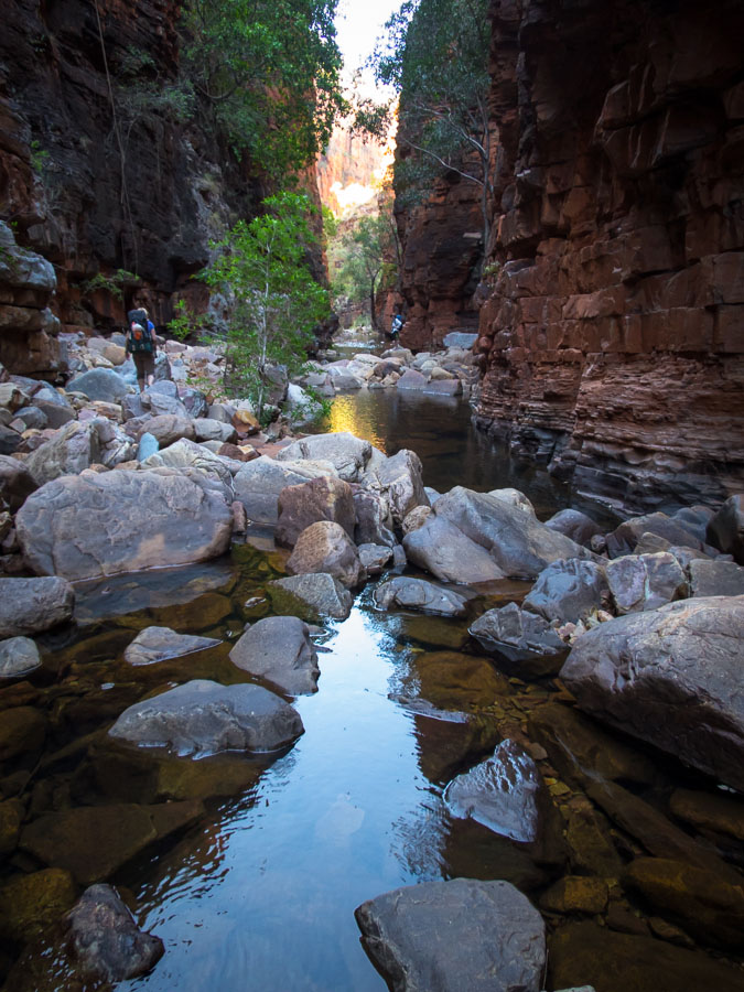
But soon we were into the narrow gorges…

IMG_9507

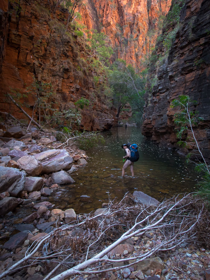
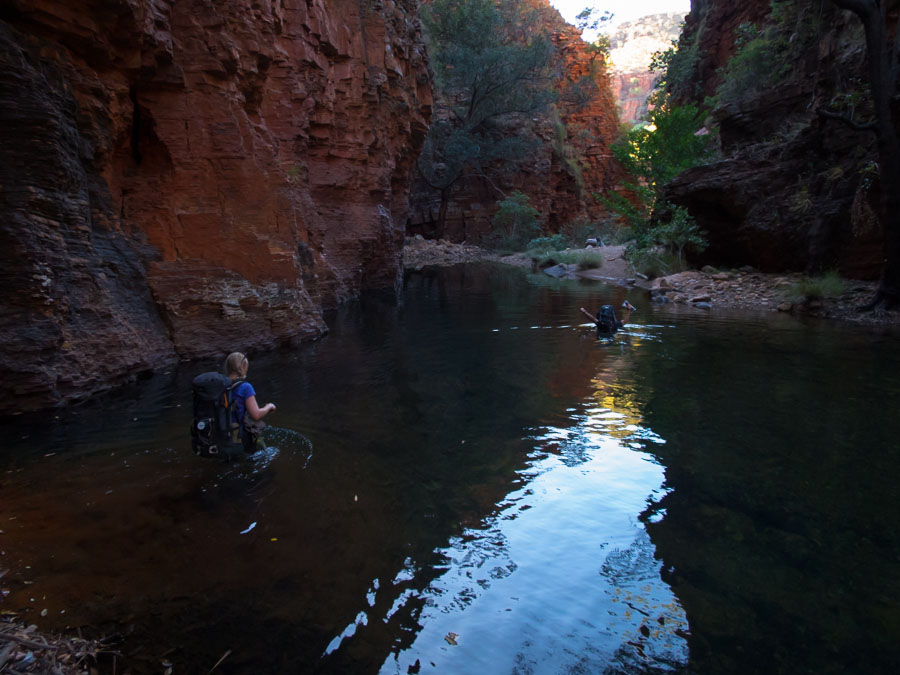
and more packfloats!

IMG_9510

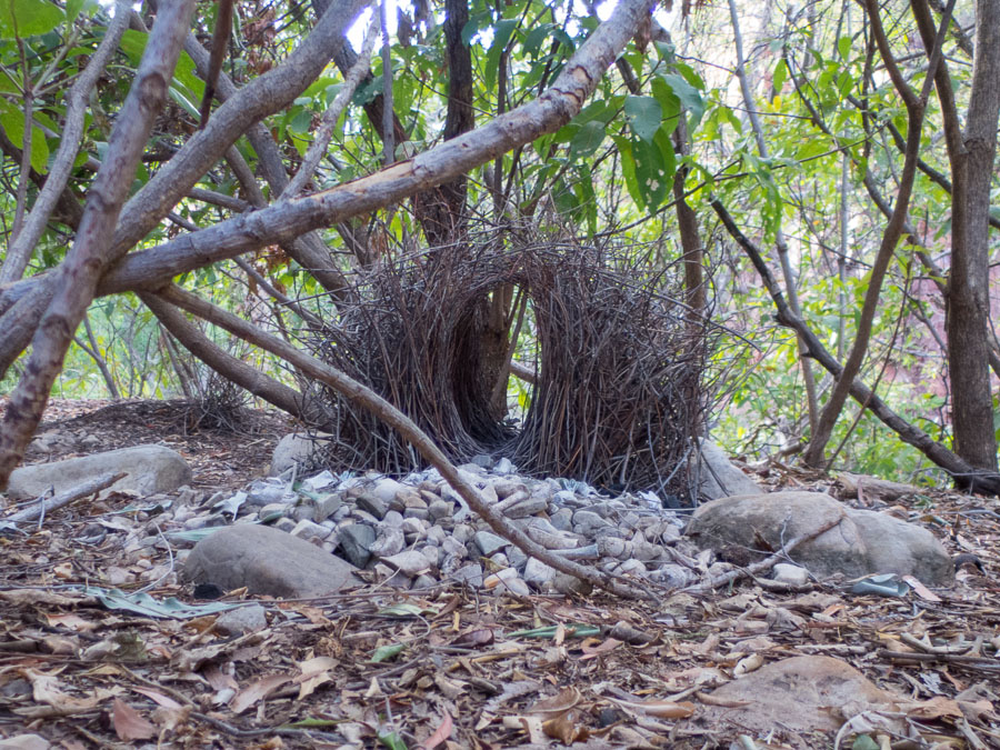
Our campsite on the first night was the worst of the trip. I don’t have any photos of the crocodile eyes gleaming out at us, the numerous cane toads hopping around us or the 2.5m python which decided Caro’s bed was pretty comfy. On the positive side there was this amazing bower (made by a bower bird to woo his lady).

IMG_9511

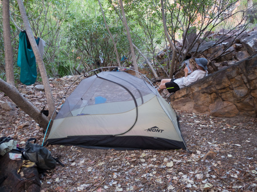
Relaxing in the close quarters of camp.

IMG_9512

First thing next morning we had a pack float (one of the reasons we’d stopped where we were the night before).

IMG_9513 IMG_9514

There was a lot of water weed in the waterways in the Cockburns.

IMG_9516

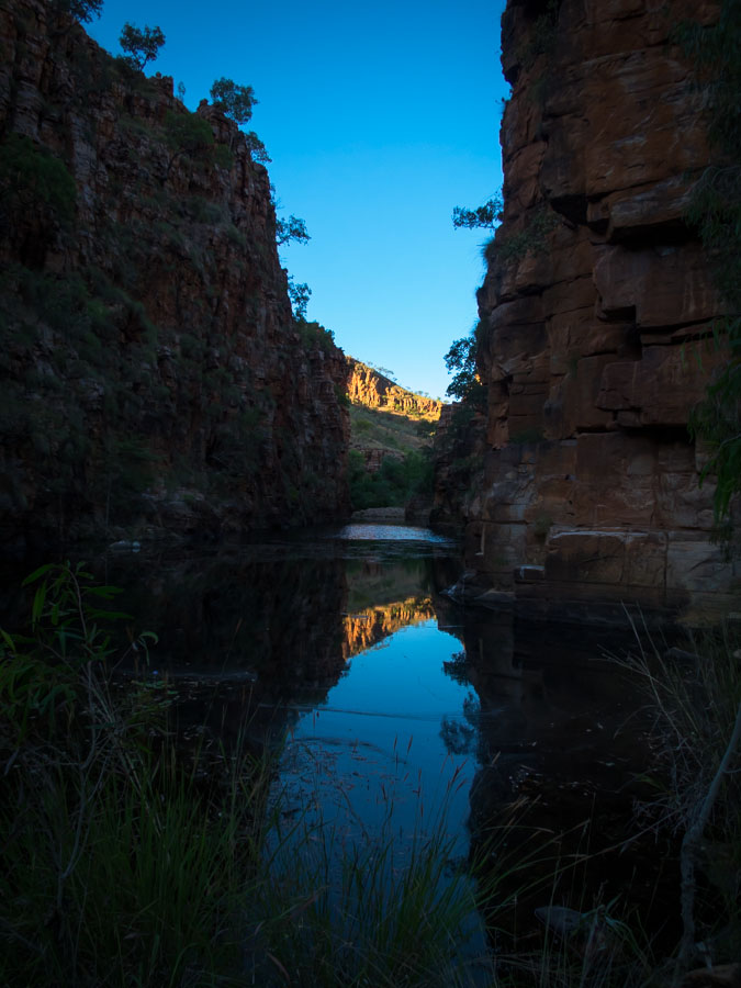
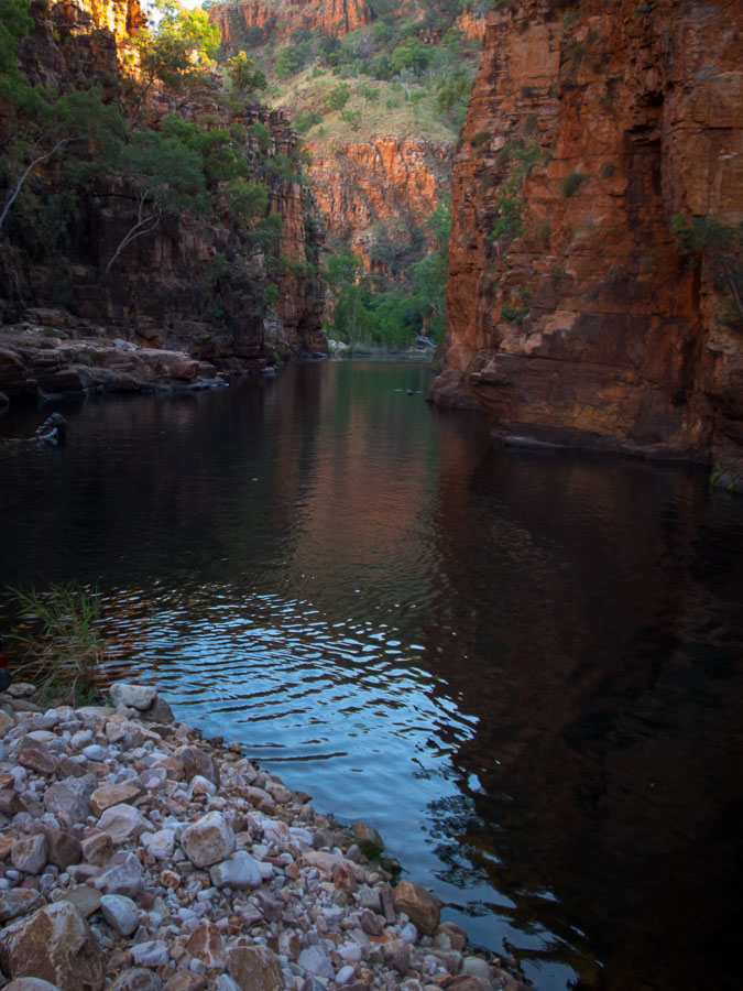
Morning tea views.

IMG_9520 IMG_9523 IMG_9526 IMG_9532

Camp night 2 was far more spacious – and also featured a bower (on right behind the tree). This one had little skulls in it (amongst other bones), as the bower birds in the north of Australia collect white objects rather than blue.

IMG_9533

We explored the amazing ‘bat cave’. This photo can not portray the sulphuric smell which encompassed us as we swam through guano-filled waters with our mouths firmly shut!

IMG_9537

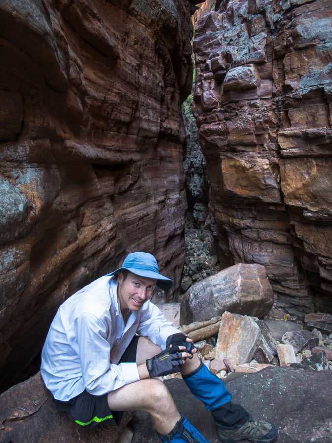
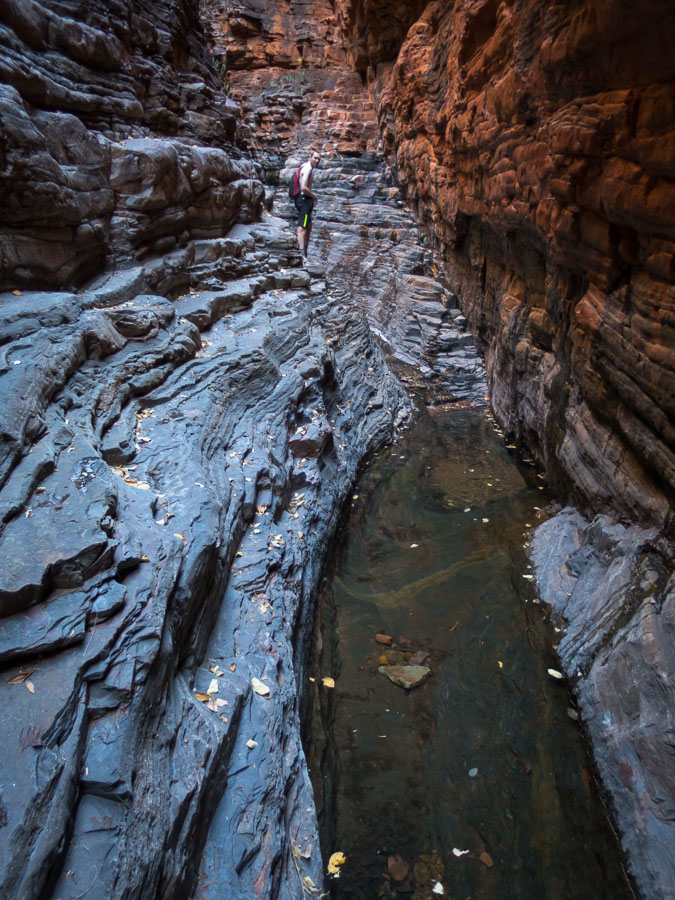
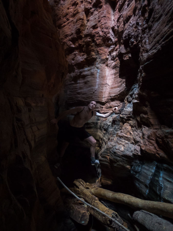
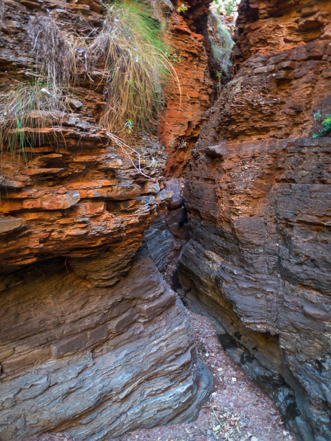
Amazing slot canyon.

IMG_9542

Emerging from the sulphuric corridor.

IMG_9545 IMG_9547

We had hoped to explore a little further afield but found some of the tributaries dry.

IMG_9548


So we continued up the main gorge where there was plenty of running water.


IMG_9551

Another amazing slot near our third campsite.

IMG_9557 IMG_9564

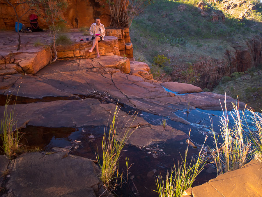
The best campsite of the week.

IMG_9567 IMG_9569

Dryfall – this creek system would have been amazing had there been flowing water.

IMG_9572 IMG_9573

Many of the tops had been recently burnt which made for pleasant walking.
IMG_9574

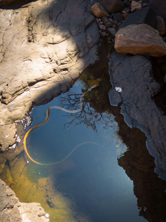
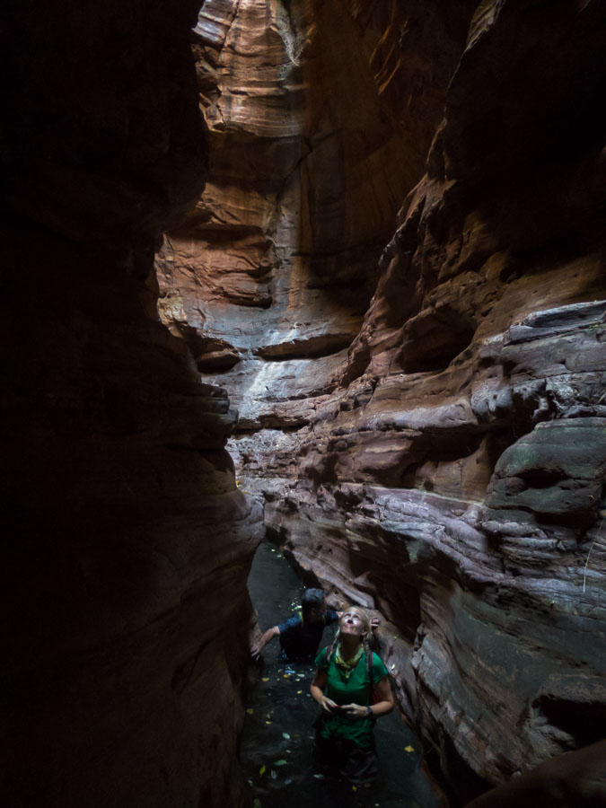
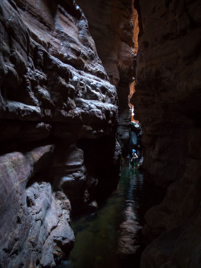
We saw a lot of snakes in the creeks – we think they were mainly tree snakes.

IMG_9581

We tried to descend the ‘bat cave’ canyon from the top (as we’d got to a drop we couldn’t get up when ascending it). Unfortunately we were confronted with a 12m overhanging drop and we only had a 6mm handline.

IMG_9583

So had to be happy with a lunchtime swim instead.

IMG_9585 IMG_9588

The top of the dryfall we’d visited earlier.

IMG_9590 IMG_9592 IMG_9596 IMG_9597

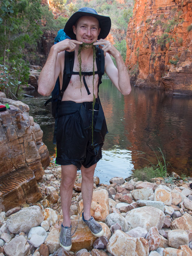
Tom all tuckered out.

IMG_9600 IMG_9604 IMG_9609IMG_0005 IMG_0009

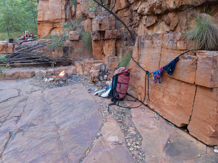
Not many campsites come with existing washing lines (& carabiners)!

IMG_0010

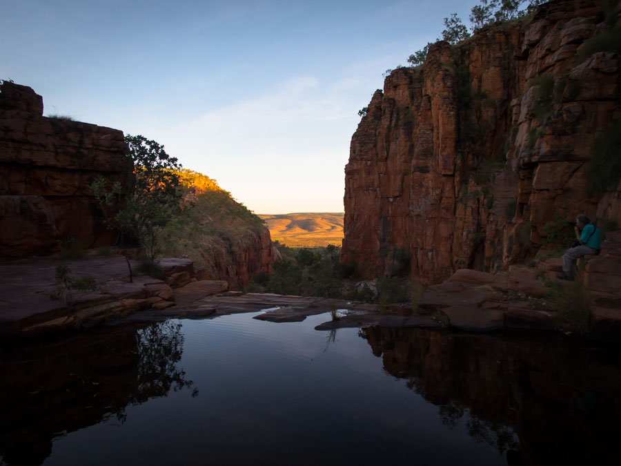
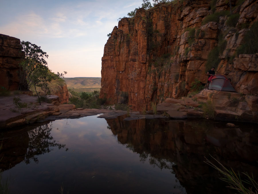
Beautiful spot for our last campsite of the trip.

IMG_0011 IMG_0016 IMG_0019 IMG_0020 IMG_0023 IMG_0025

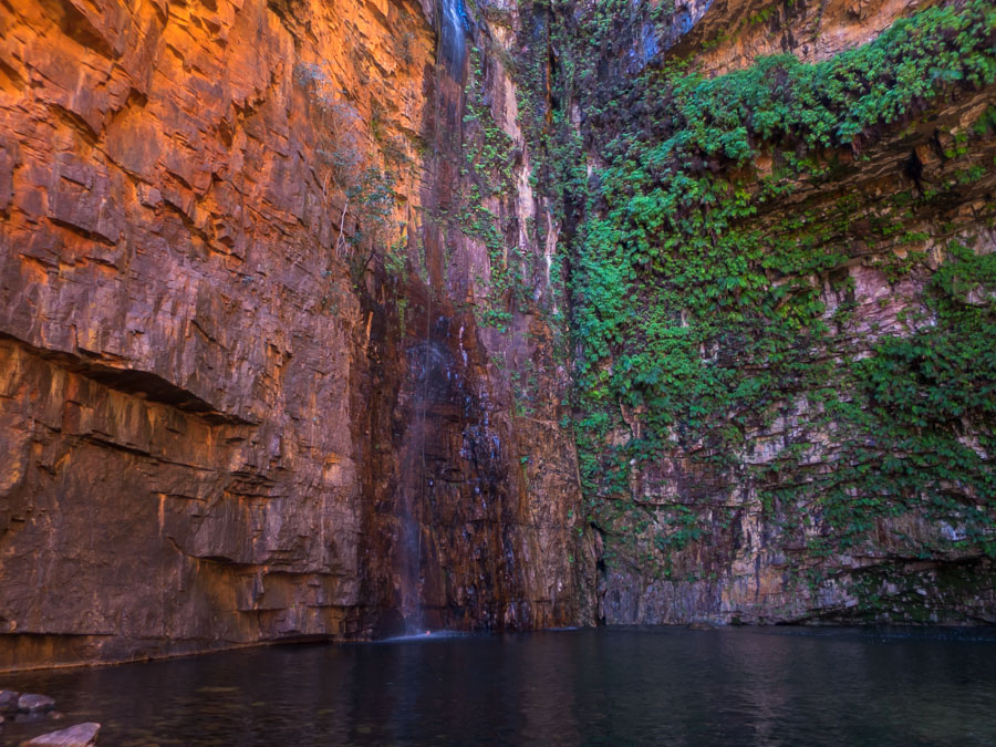
Emma Gorge with the hoardes (out of shot).

IMG_0030

Kimberley exploring (June 2015) – Part I

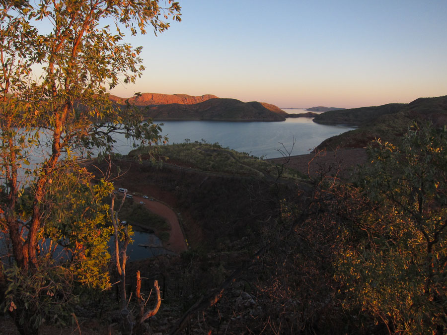
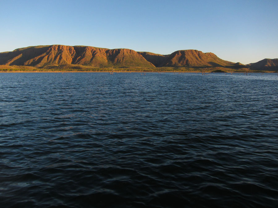
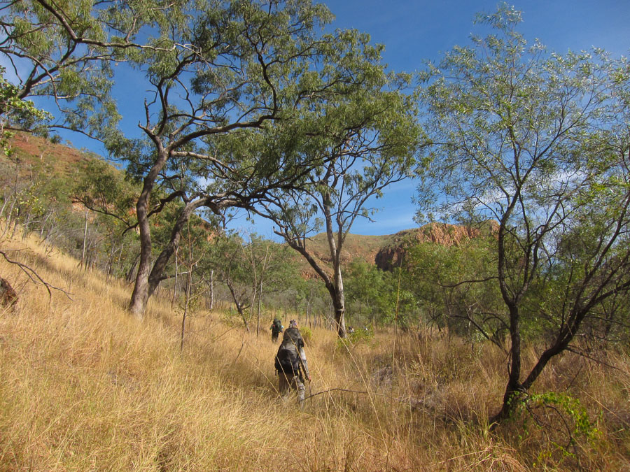
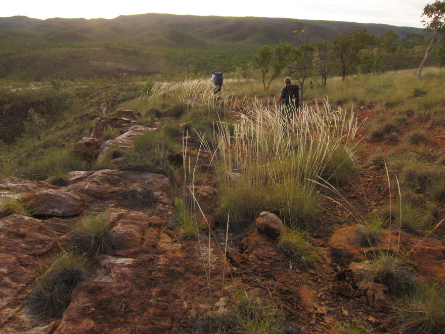
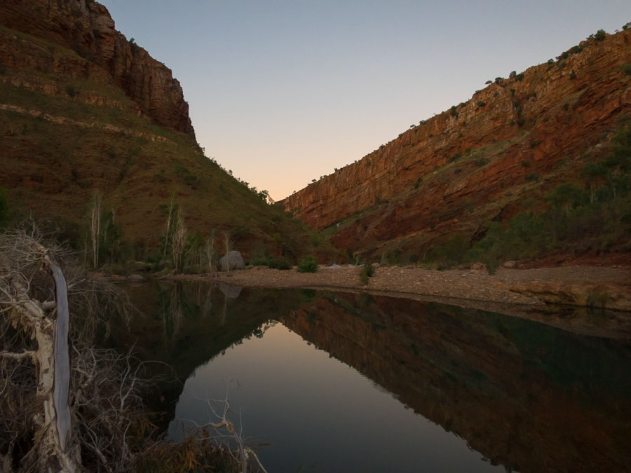
In June 2015 we visited the Southern Carr Boyd Range in the magnificent Kimberley region of Western Australia. Our trip started with an early morning boat trip on Lake Argyle to our drop off point.

IMG_7551 IMG_7557

With the boat departing we are truly isolated for the next seven days.

IMG_7558 IMG_7559 IMG_7566

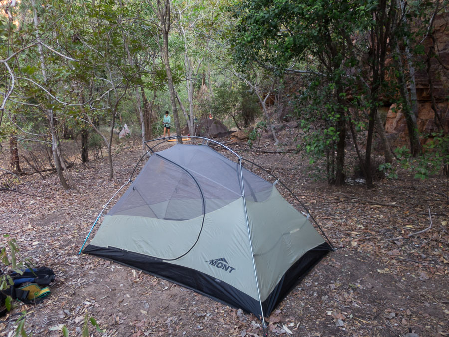
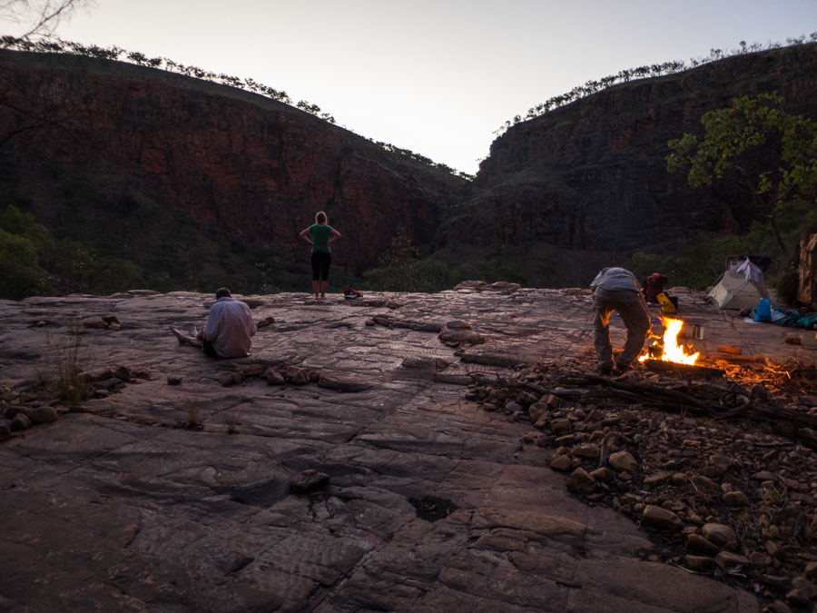
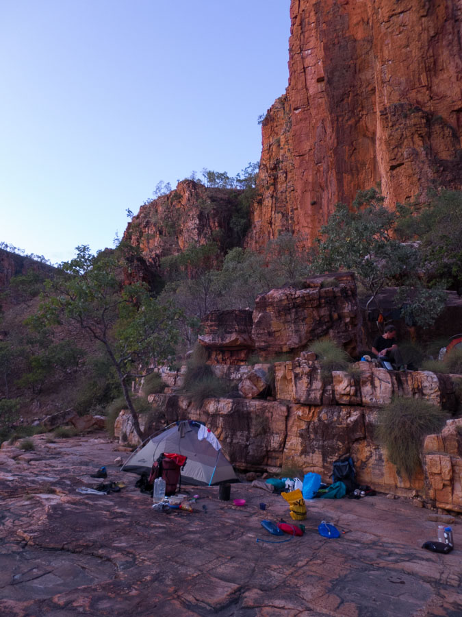
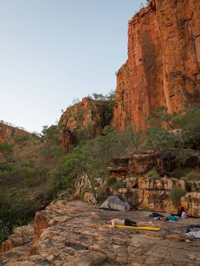
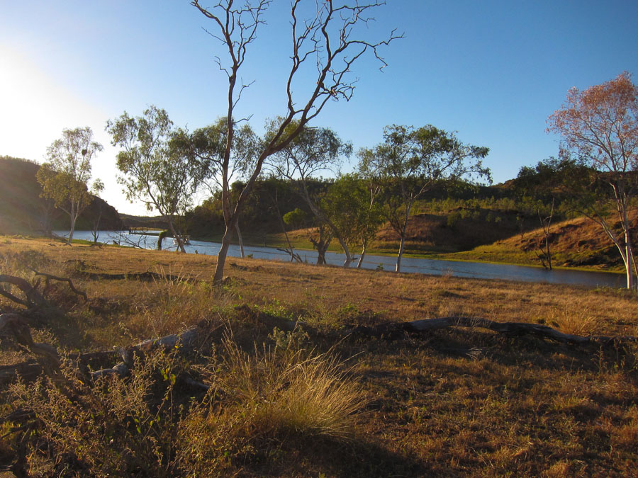
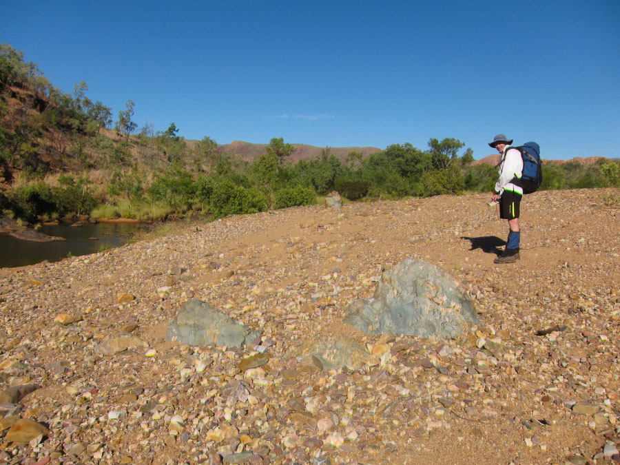
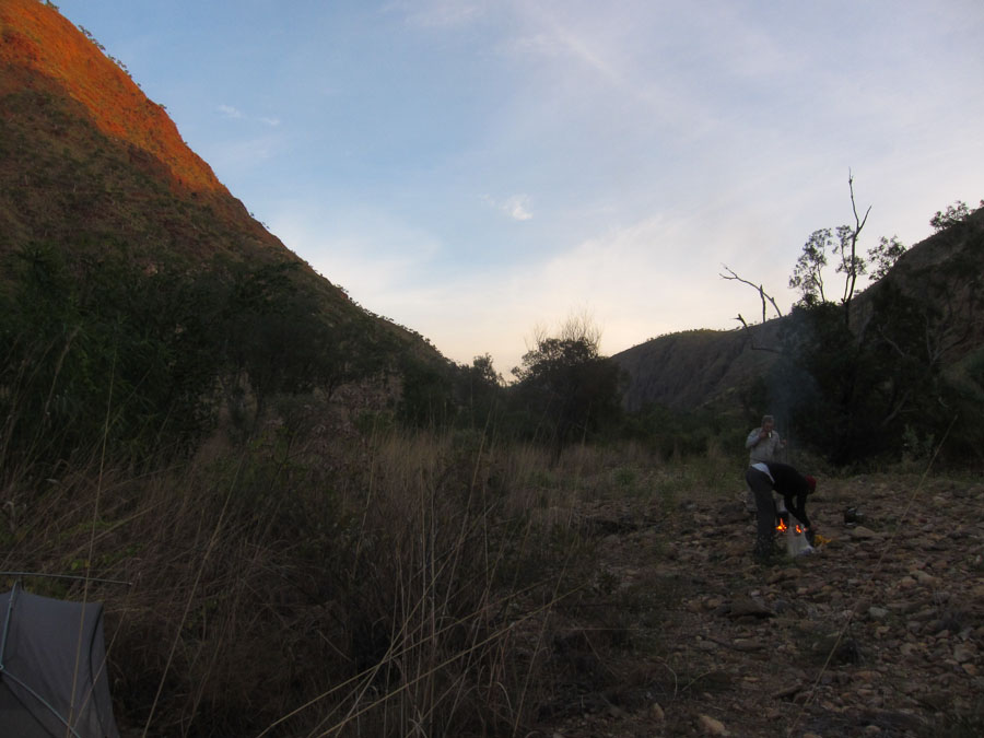
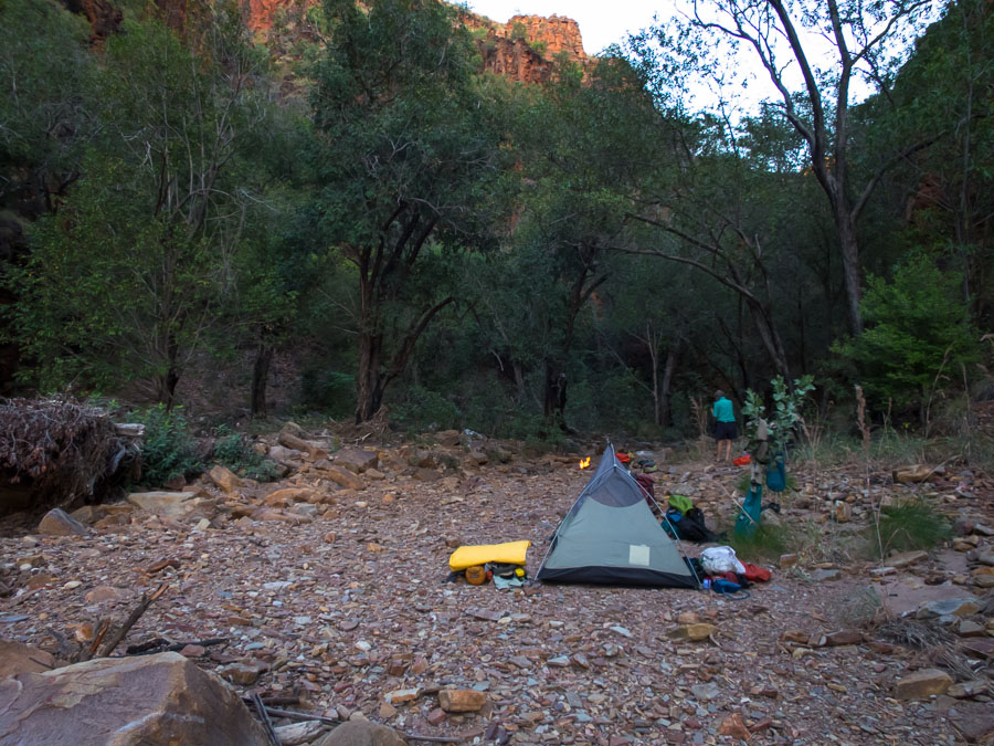
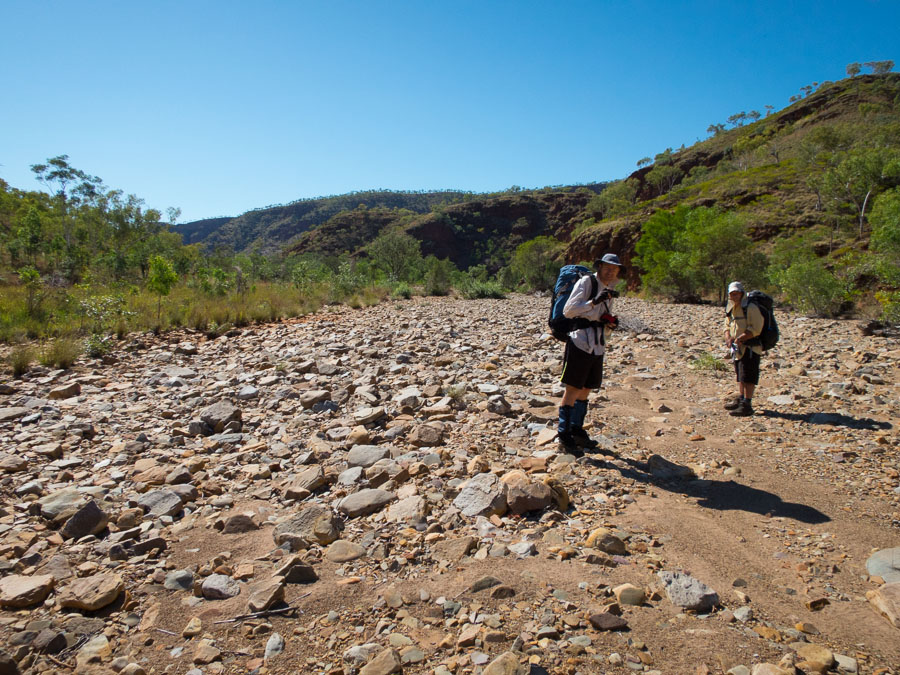
Many of our campsites were on gravel river beds where we managed to find just enough space for 5 spots.

IMG_7569

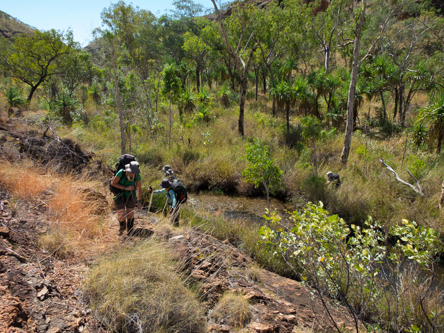
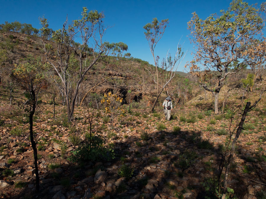
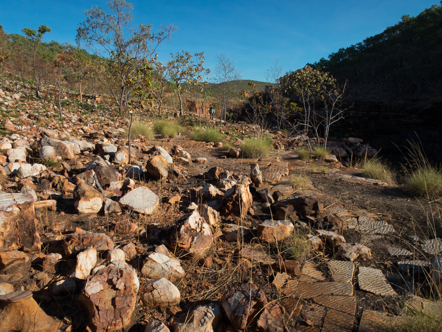
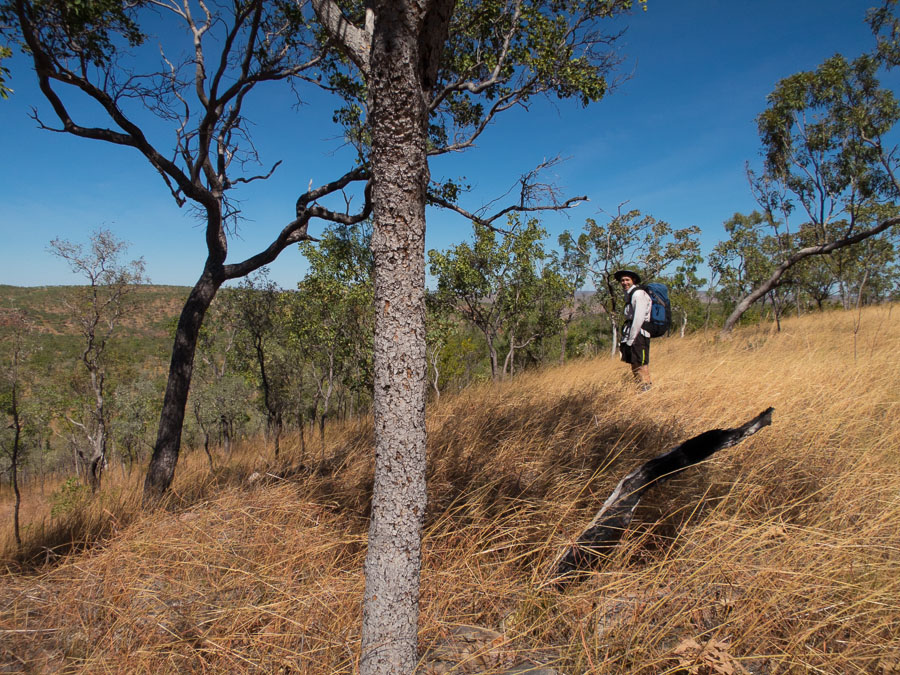
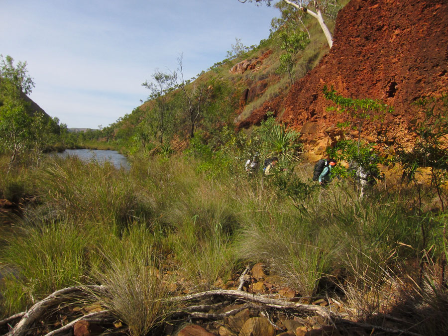
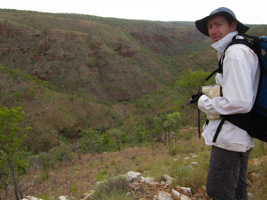
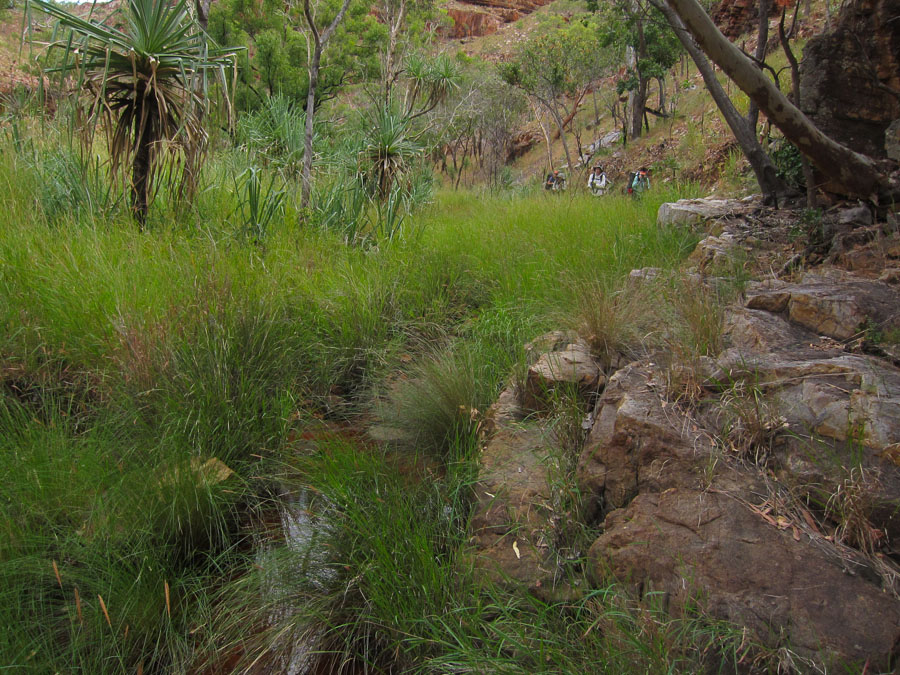
Some of the walking was true bush-bashing through long grass and my nemesis – pandanus!

IMG_7572 IMG_7576 IMG_7578

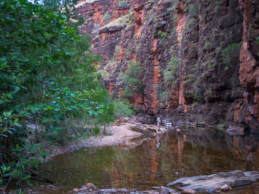
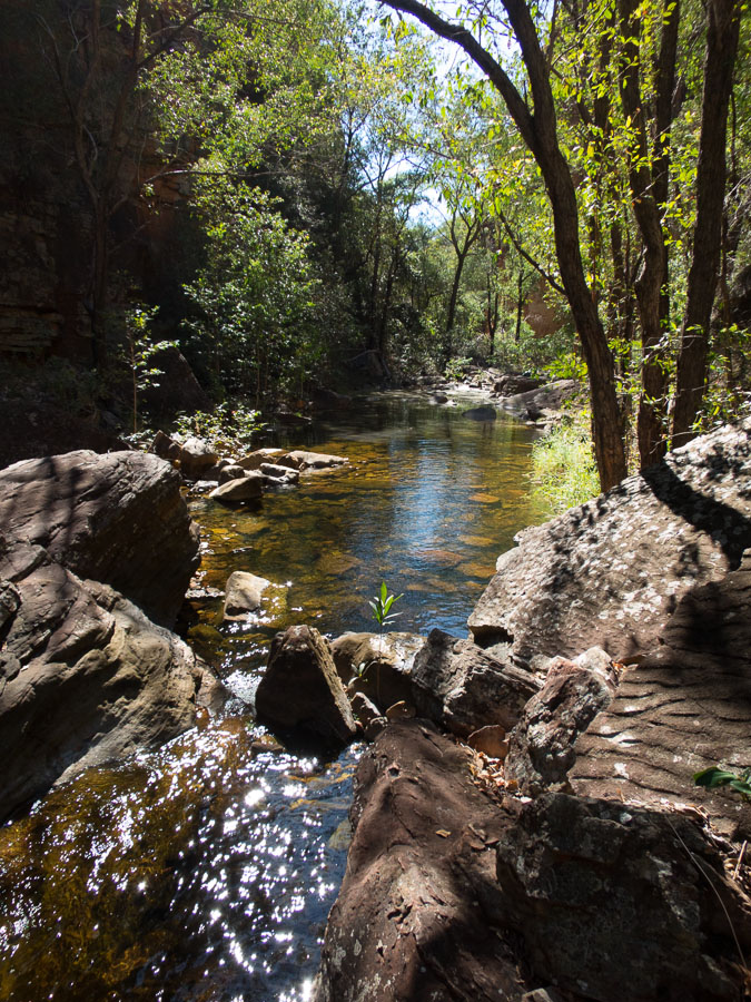
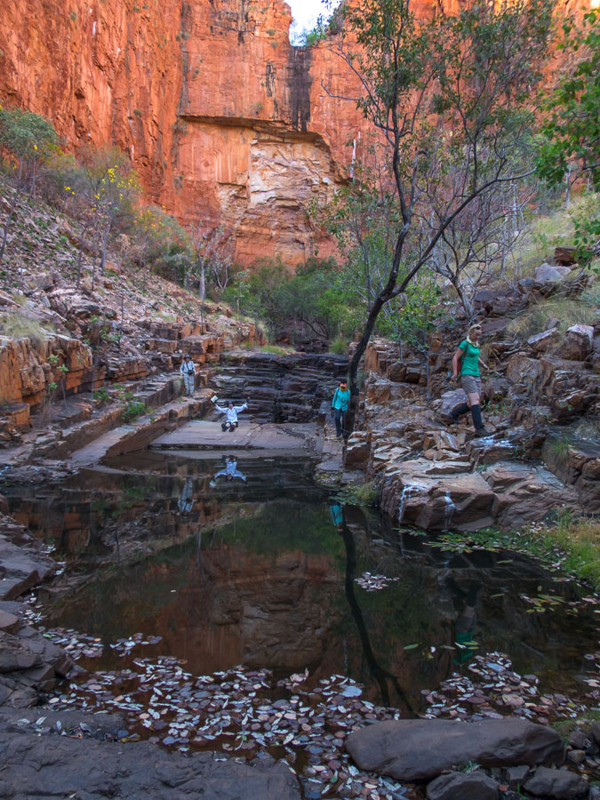
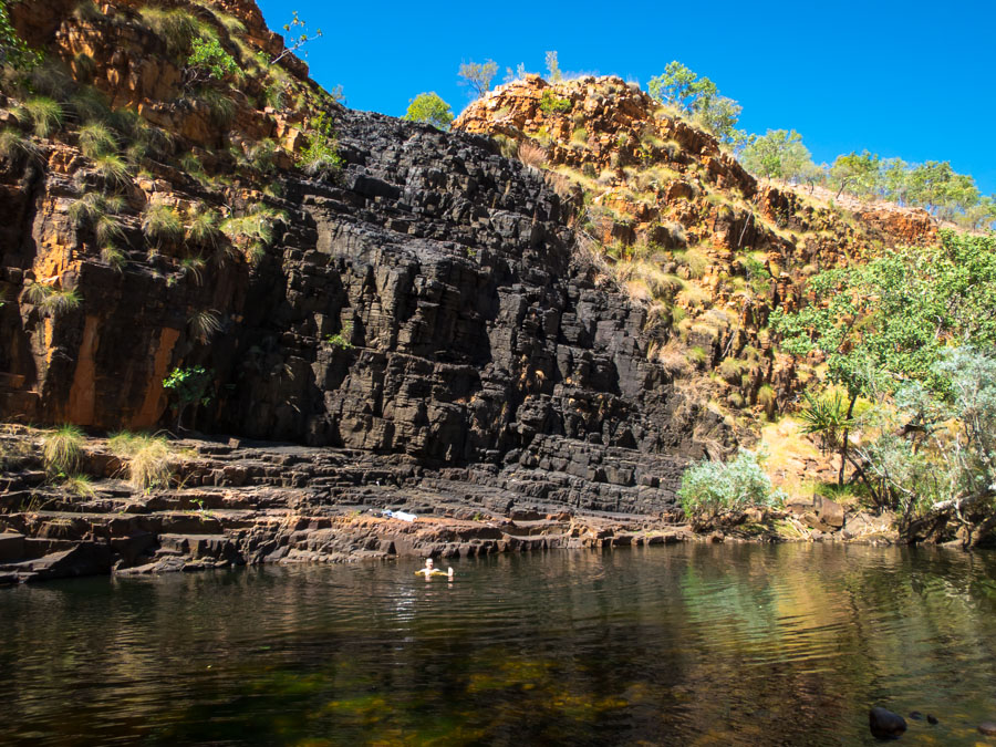
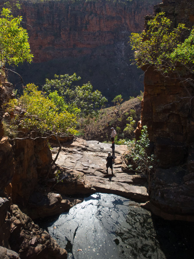
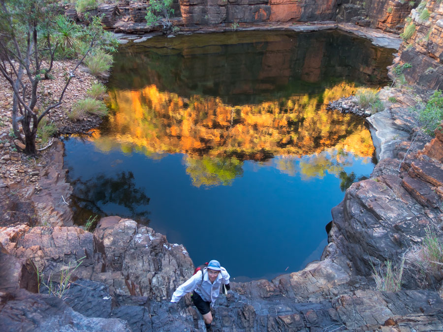
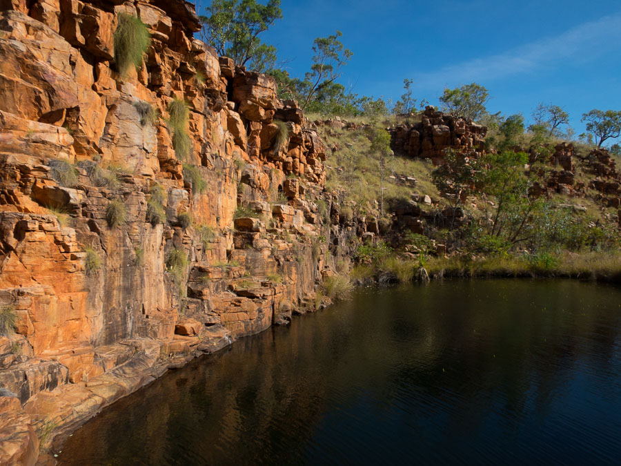
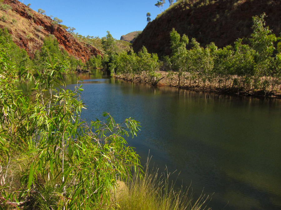
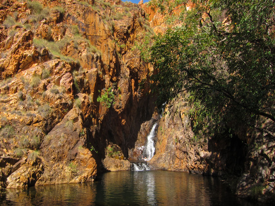
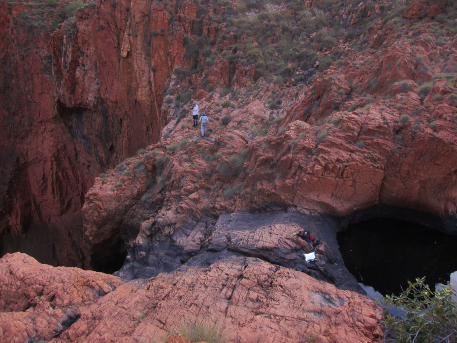
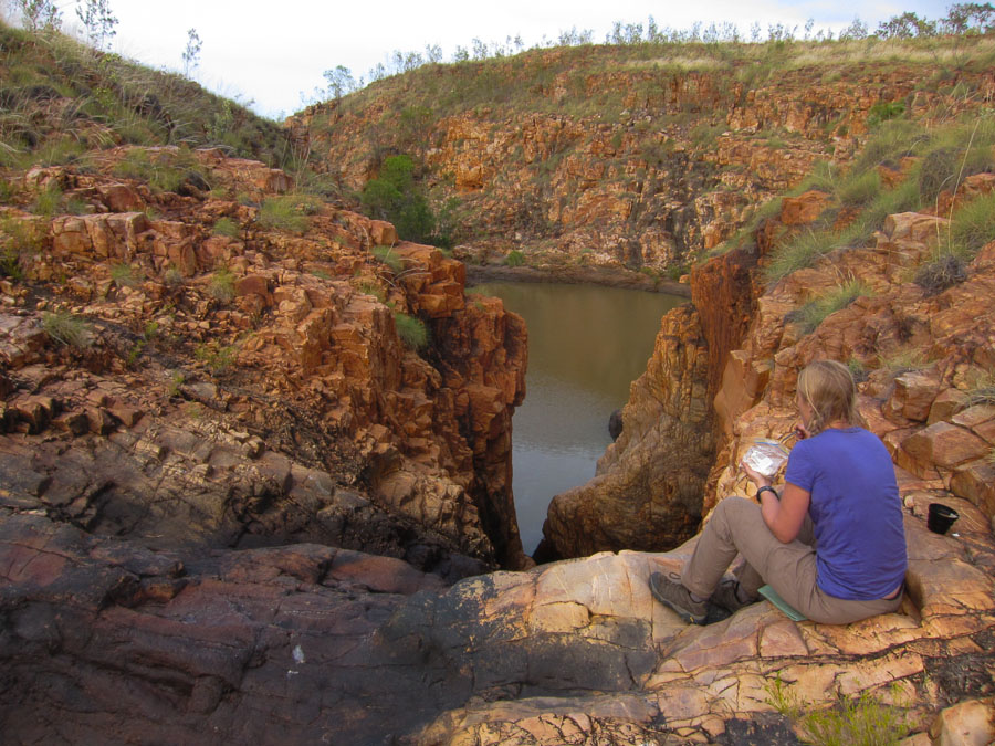
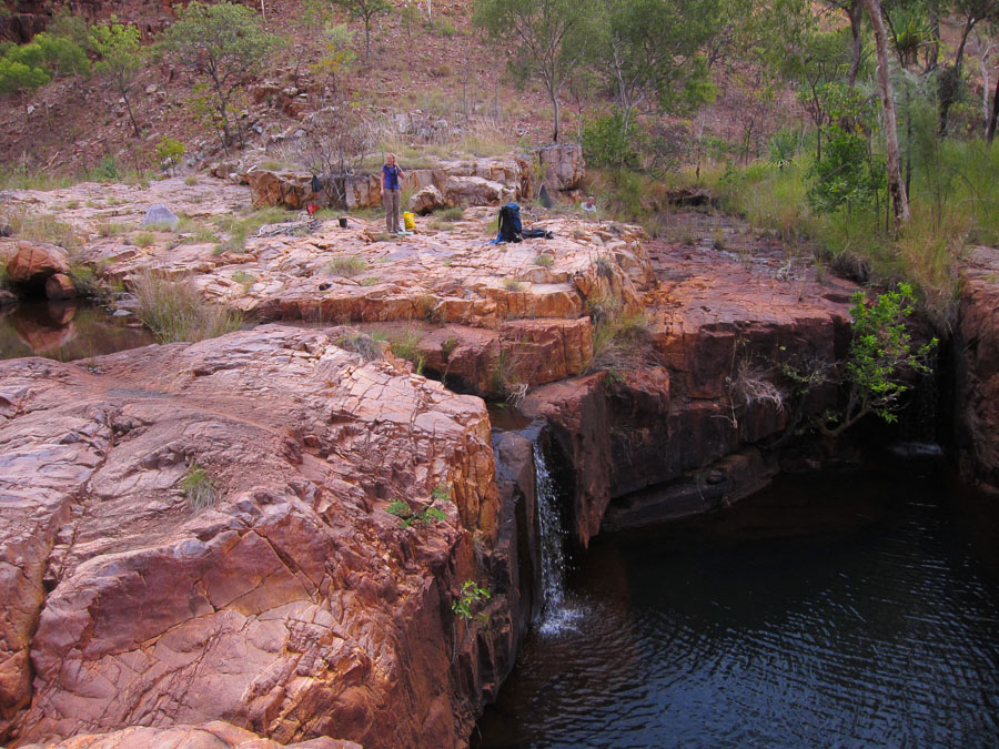
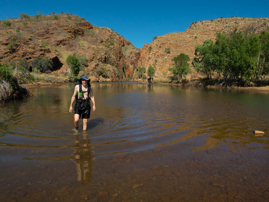
But the bush bashing is all worth it when you unexpectedly come across waterhole gems like this one.

IMG_7584

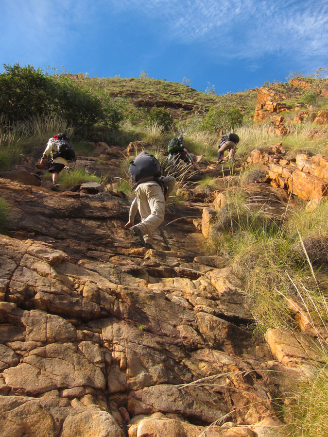
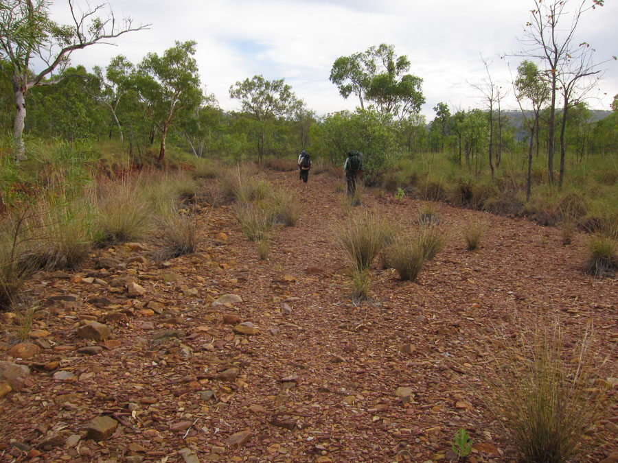
We had a couple of steep climbs on our walk but generally we were on flattish ground.

IMG_7590

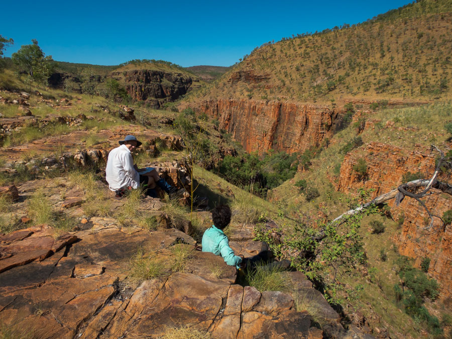
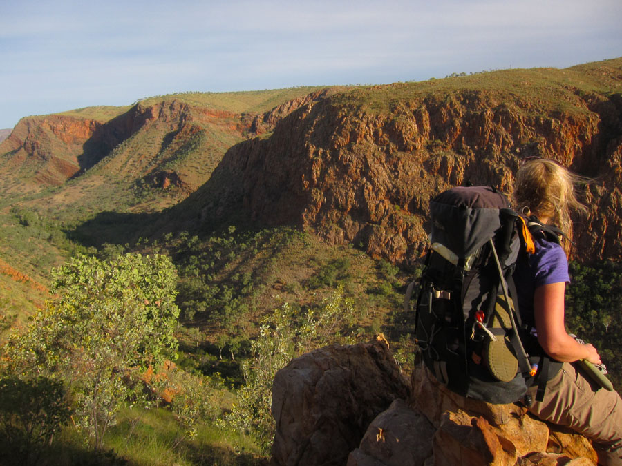
The views were great.

IMG_7591 IMG_7594

The colours amazing.
IMG_7601 IMG_7607 IMG_7609 IMG_7612 IMG_7616

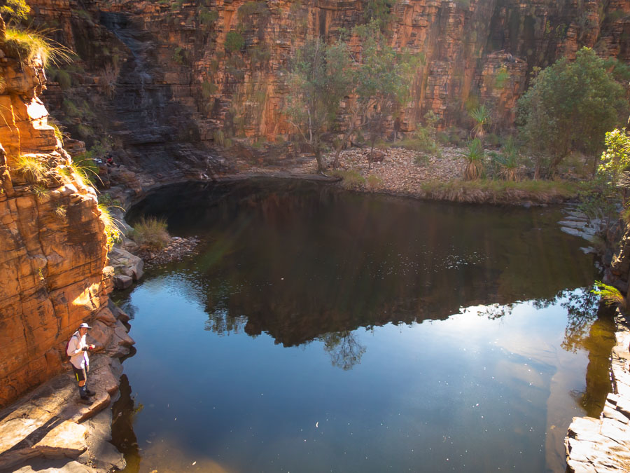
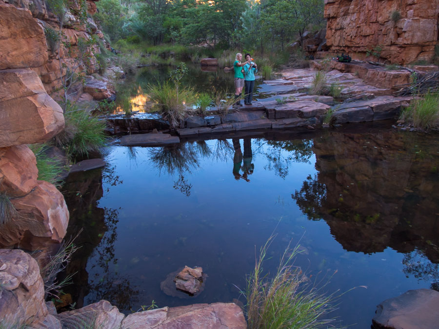
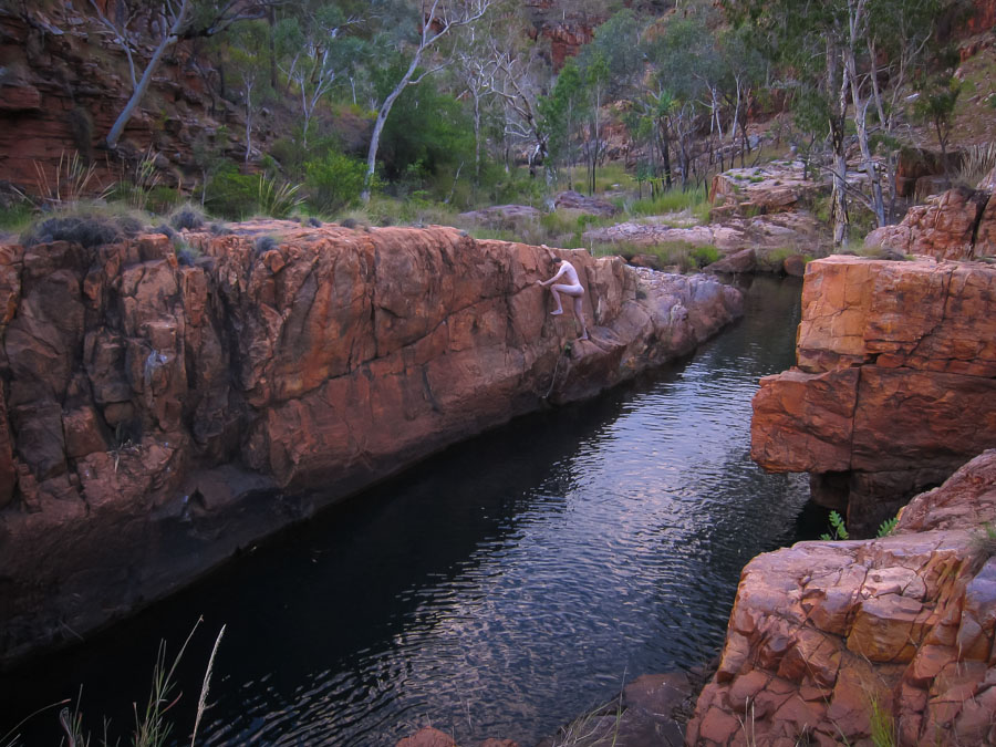
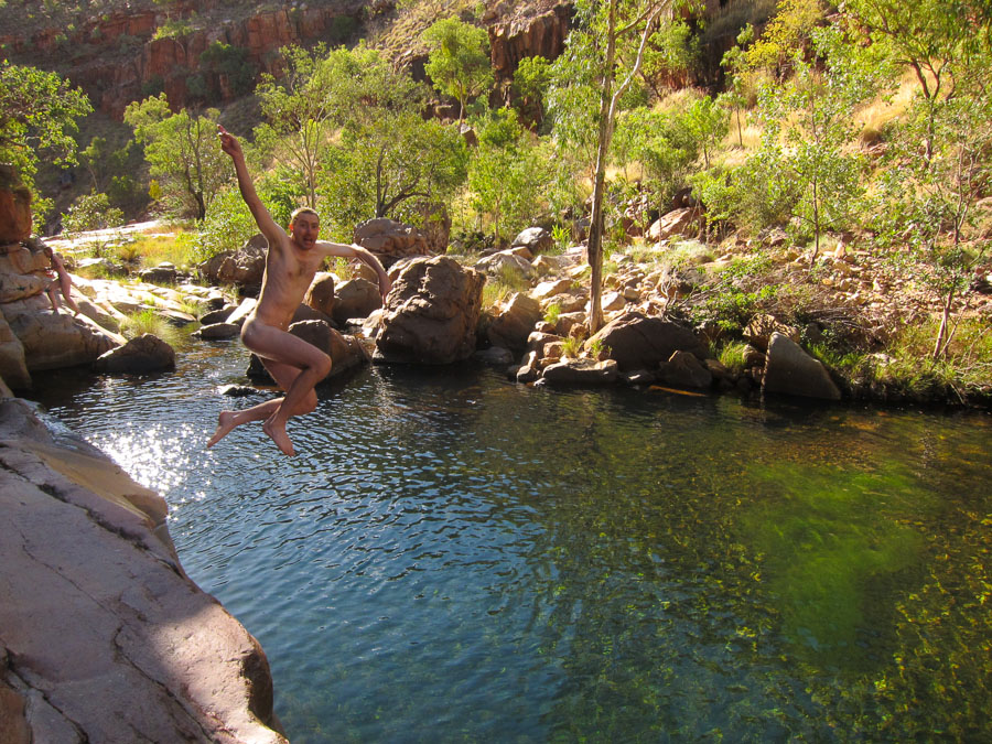
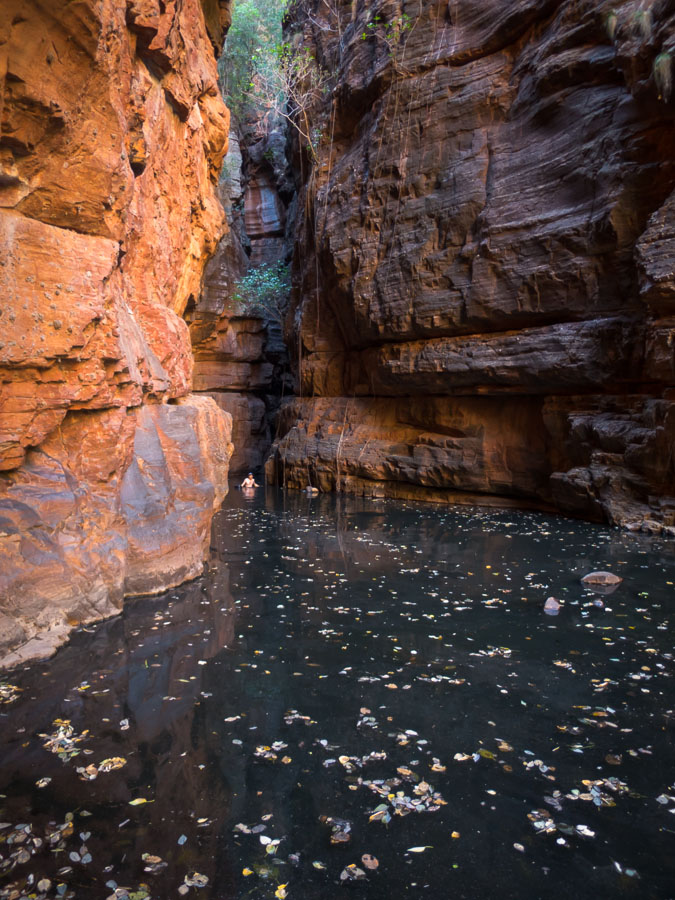
This was a stand-out campsite. An afternoon of entertainment with jumping opportunities from three sides of this amazing pool.
IMG_7626


IMG_7629

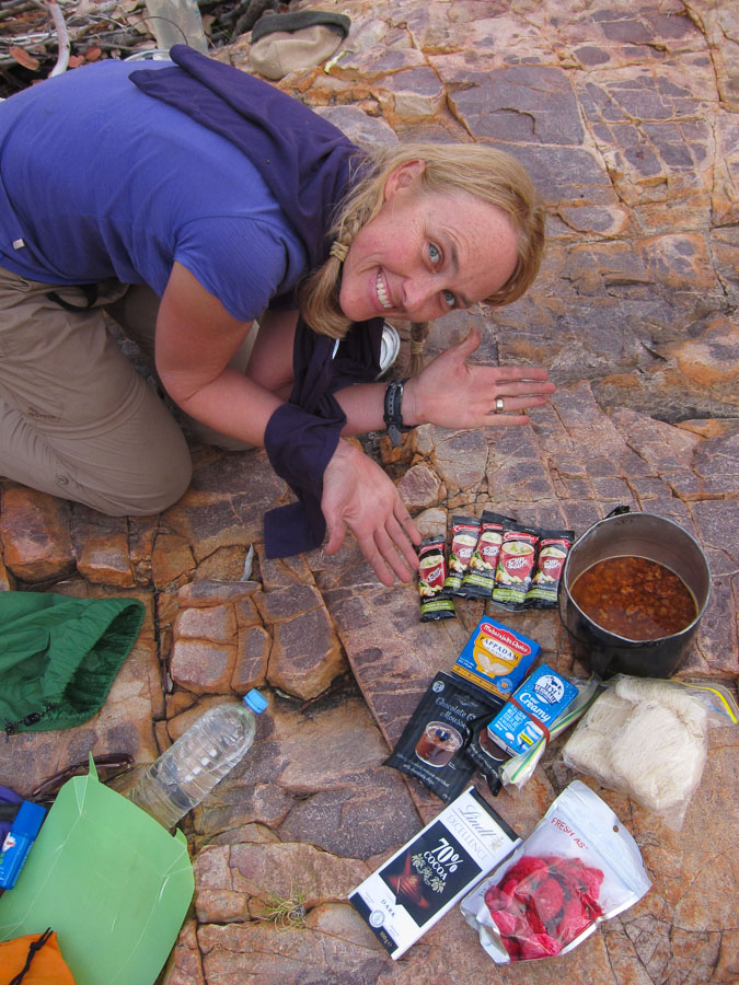
Our food group delivered some amazing meals. Later that evening we had butter chicken with pappadums, and chocolate mousse with smashed raspberries and chocolate shards. MasterChef eat your heart out.

IMG_7627.

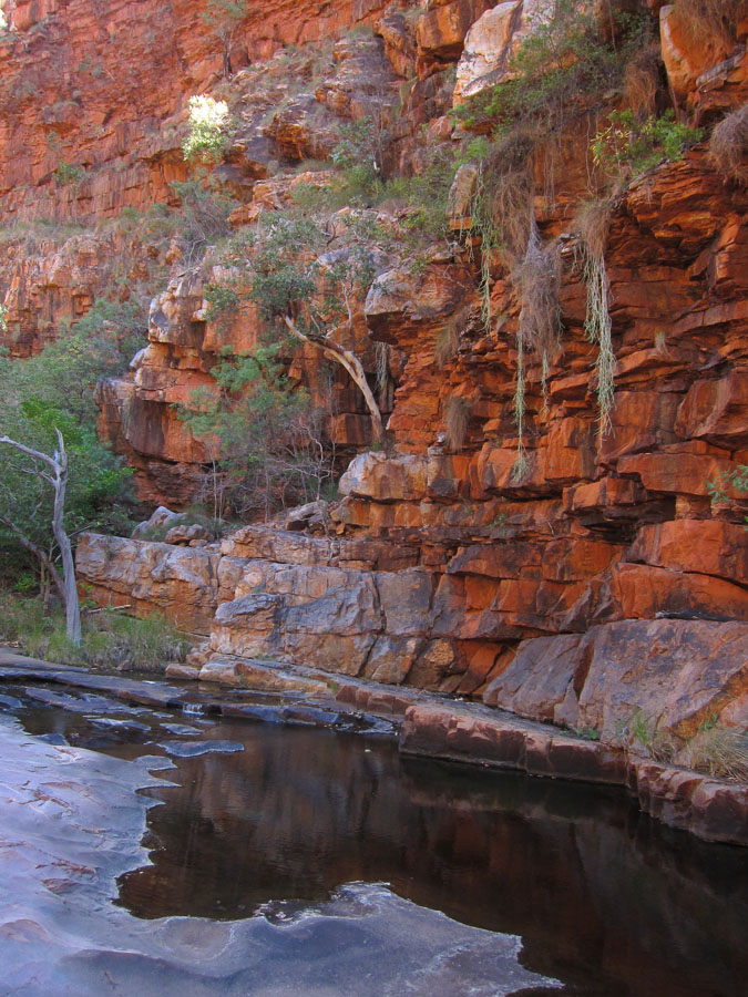
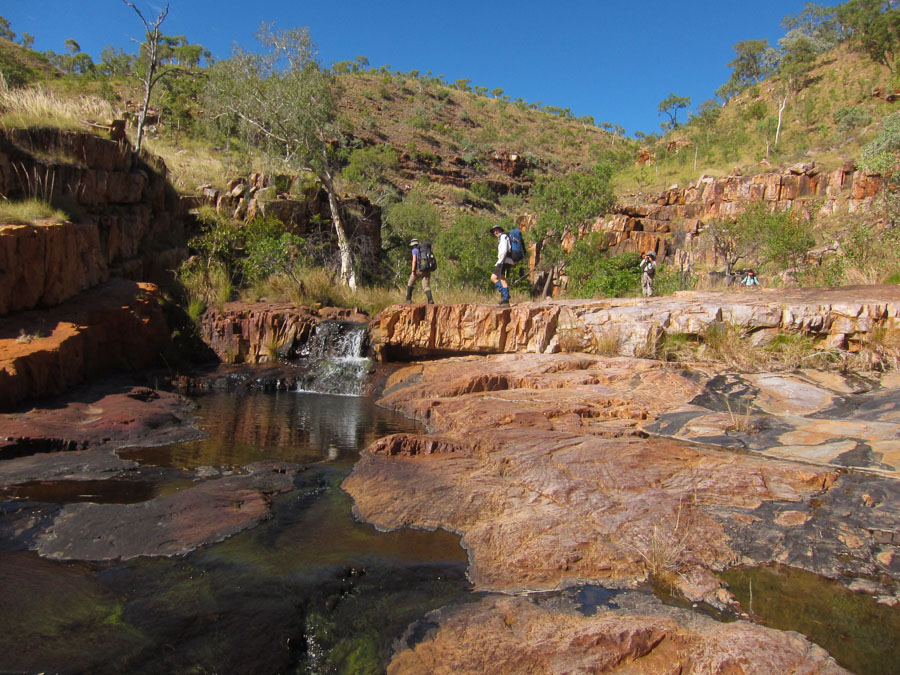
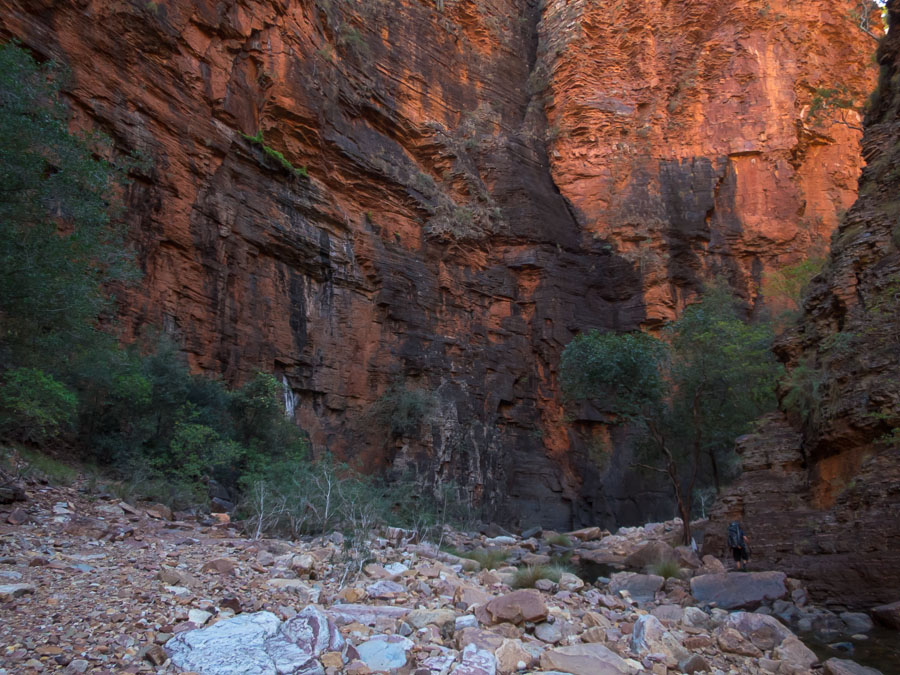
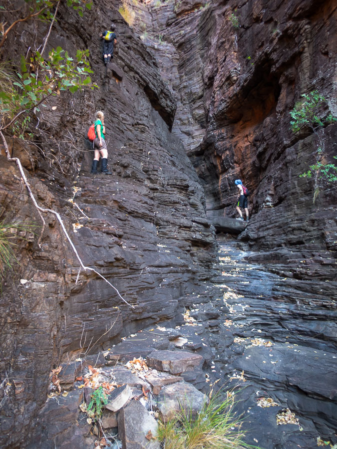
There were days of awesome gorge walking on flat rocky platforms.

IMG_7636

With more swimming holes and jumping opportunities

IMG_7637 IMG_7643 IMG_7644 IMG_7646 IMG_7647

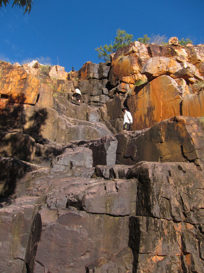
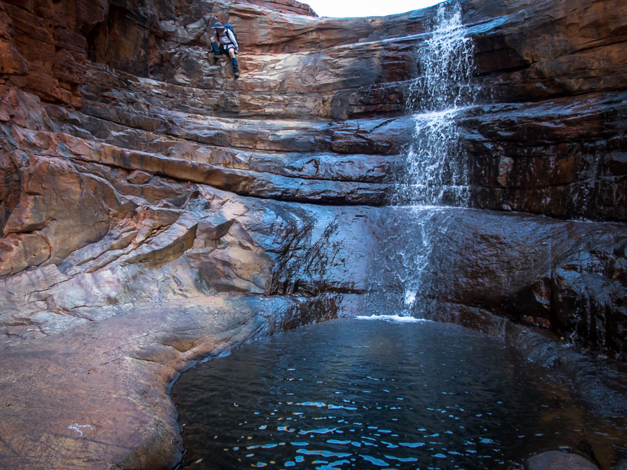
The route had its challenges from climbing down waterfalls…

IMG_9356

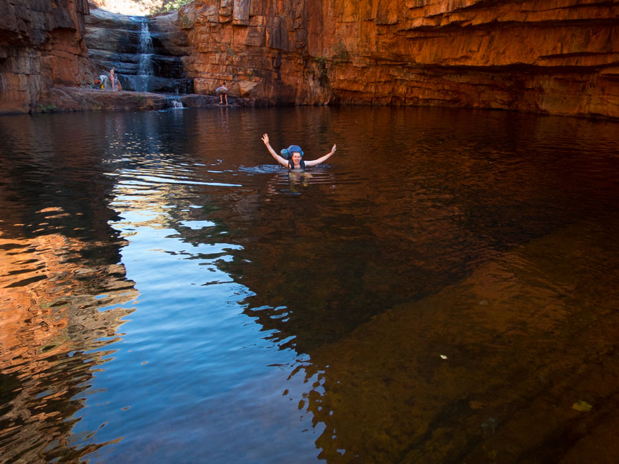
to compulsory pack floats…

IMG_9363

to large amounts of rock-hopping

IMG_9387

and more pack floats!

IMG_9389 IMG_9397

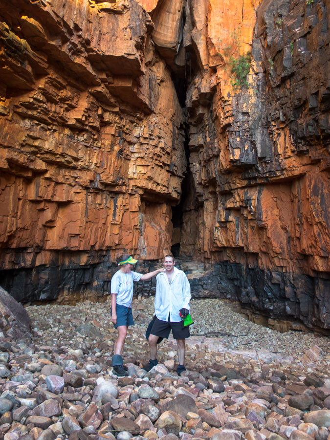
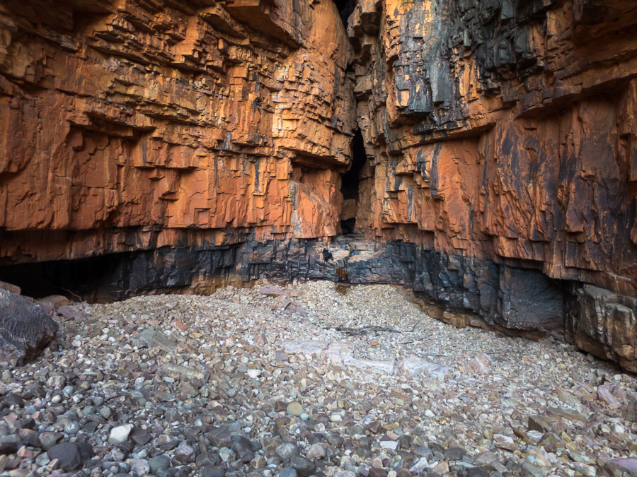
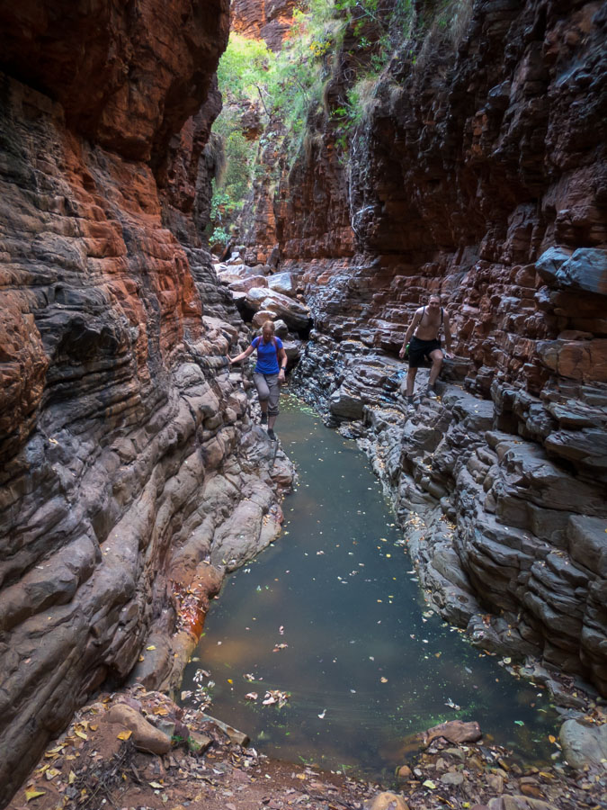
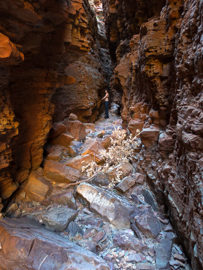
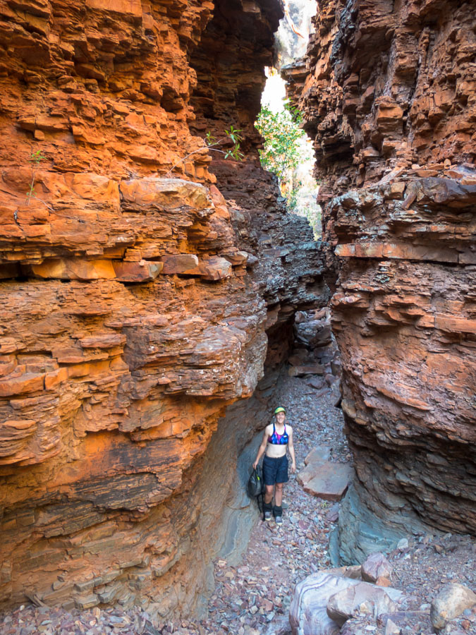
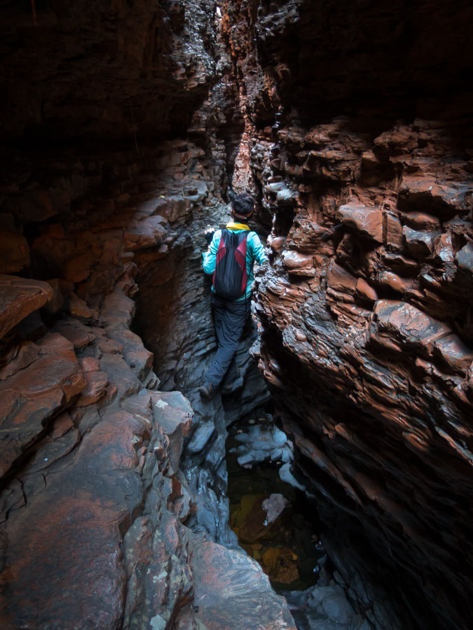
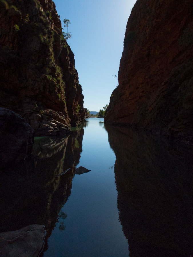
And then we were amazed to discover slot canyons!

IMG_9400

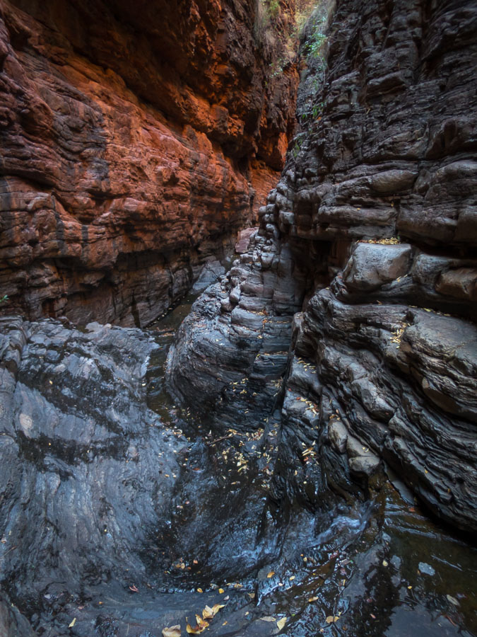
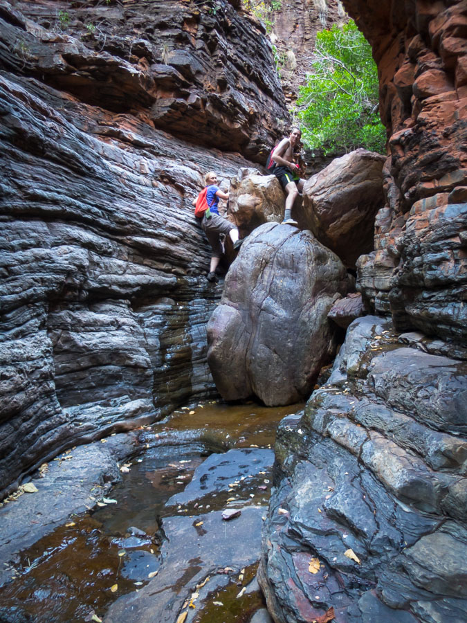
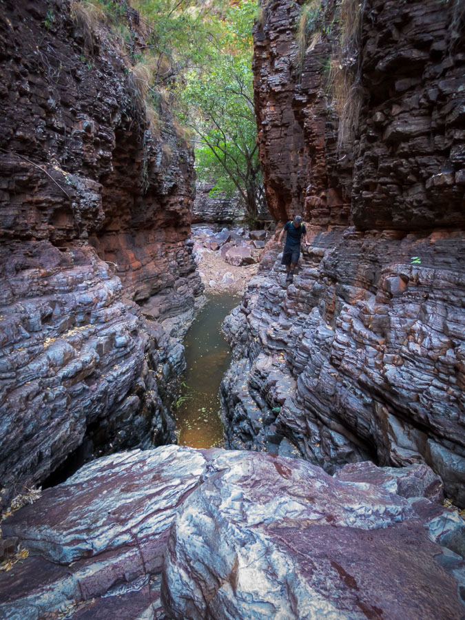
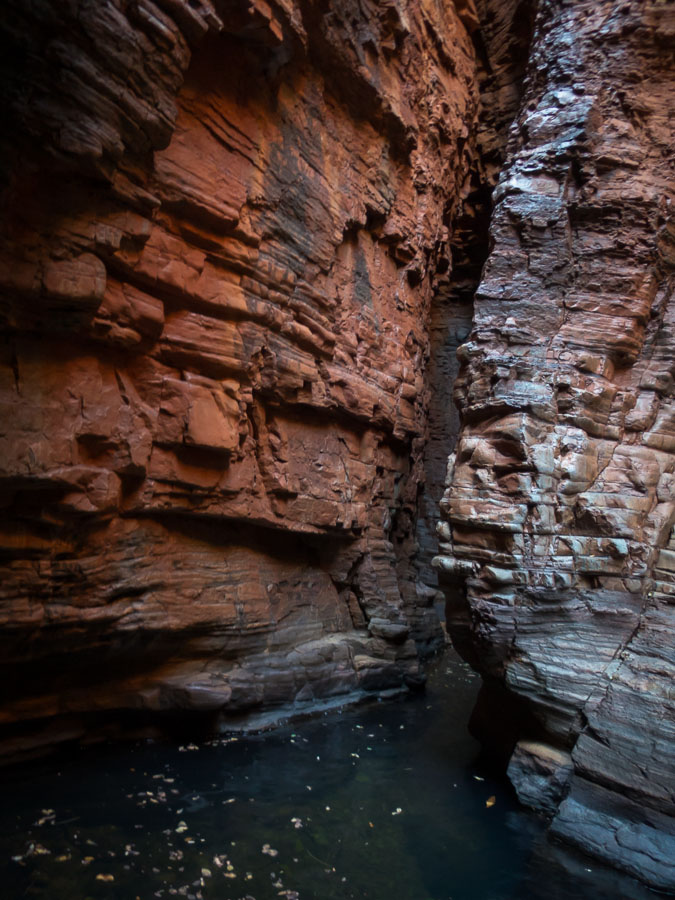
No, this is not Karijini but it sure looks like it.

IMG_9401 IMG_9402 IMG_9403 IMG_9412 IMG_9415 IMG_9417 IMG_9419 IMG_9421 IMG_9422 IMG_9425

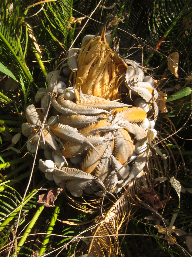
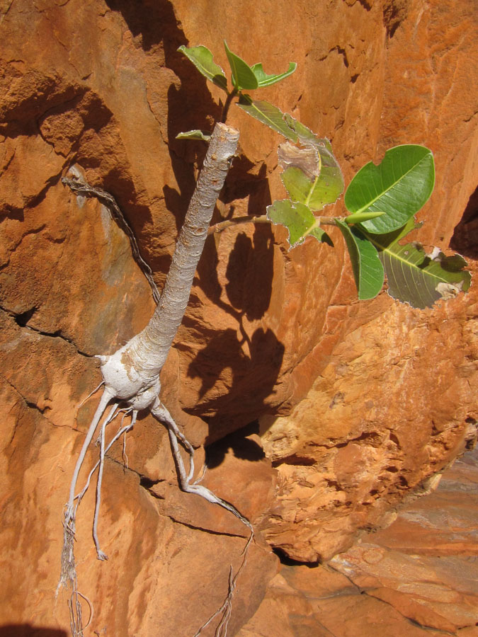
The flora was incredible.

IMG_9459

Oh and did I mention slot canyons 🙂

IMG_9460 IMG_9461 IMG_9464 IMG_9465 IMG_9469

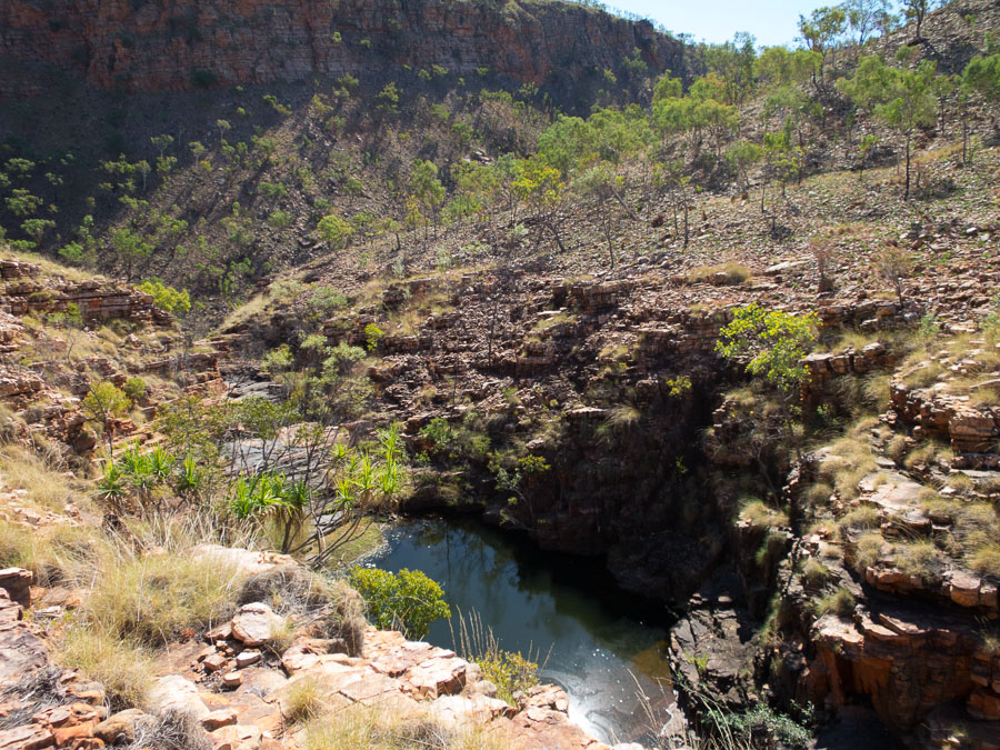
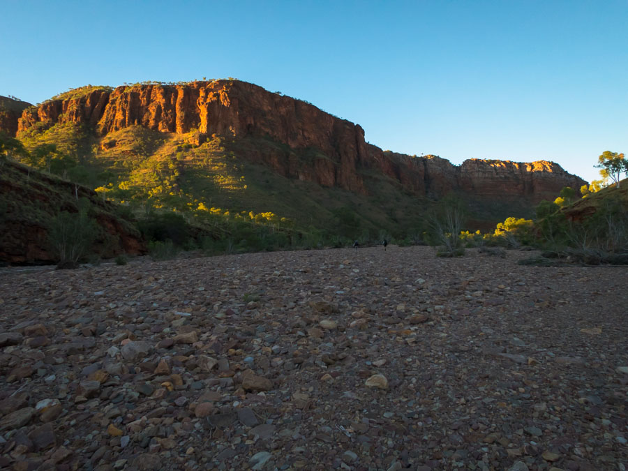
Stunning vistas

IMG_9473 IMG_9475

And a really long packfloat! (and a large freshwater crocodile which was fortunately spotted after we’d all made it to the other end)

IMG_9477 IMG_9484 IMG_9486

Fortunately the helicopter found us at the end. Otherwise it would have been a really long walk!

IMG_9491

1 … 17 18 19