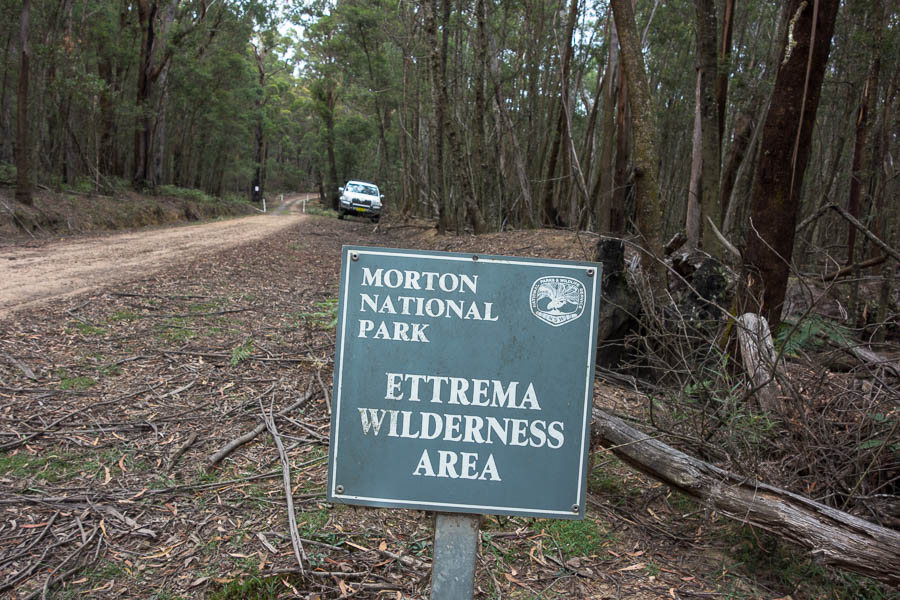
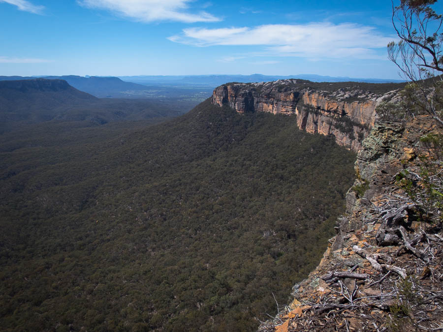
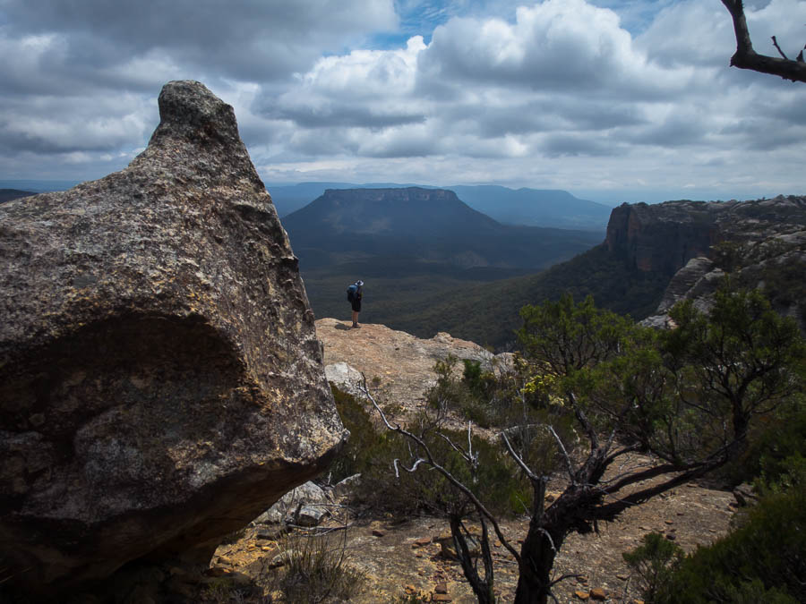
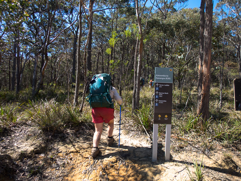
Another weekend, another SBW trip. Wow. I love them, but organising 2 overnight, relatively rugged trips, in the space of 3 weekends is hard work. I’d been to Ettrema two previous times, in 2007 – the first multi-day bushwalk I’d organised without Tom, and in 2010 – the first time I’d met our now good friend Rich. The two previous trips had followed the same route – down Myall Creek, along Ettrema Gorge and up Transportation Spur. This time I’d planned a different route. Despite advertising the trip as ‘largely exploratory for leader’ (apparently a definite turn-off for many in our club) and ‘Walkers must be proficient scramblers, with a head for heights’ I’d had quite a of interest. Numbers had settled at 7, which is probably as big as you’d want given the relative paucity of campsites.
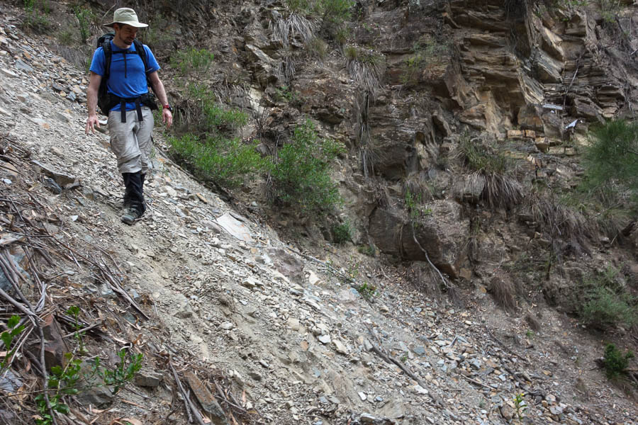
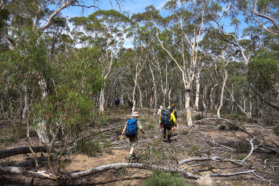
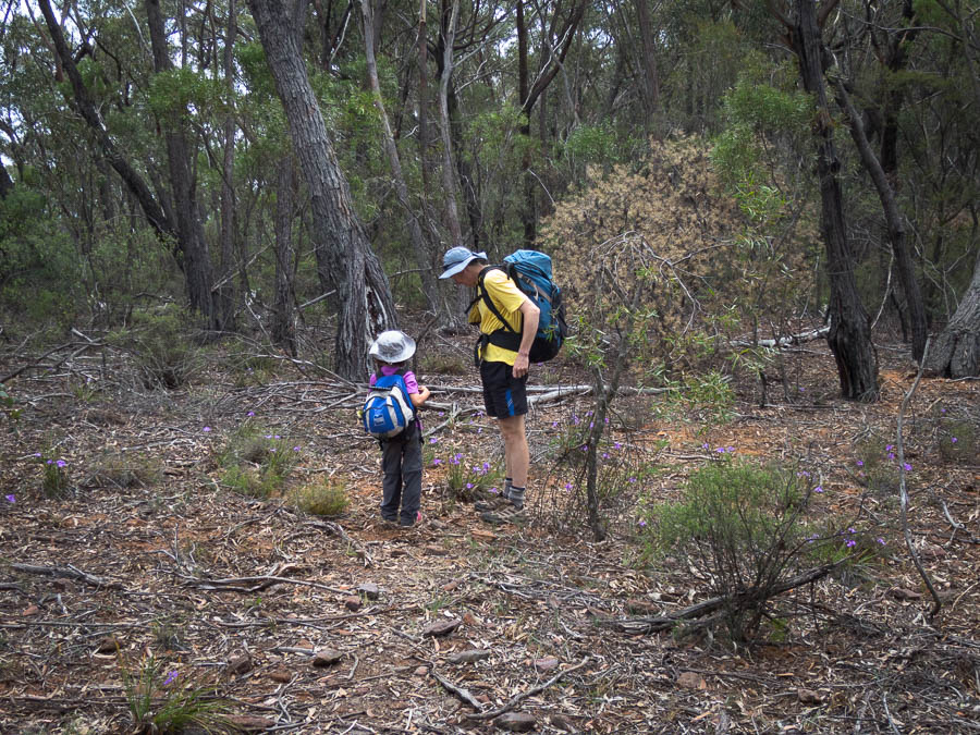
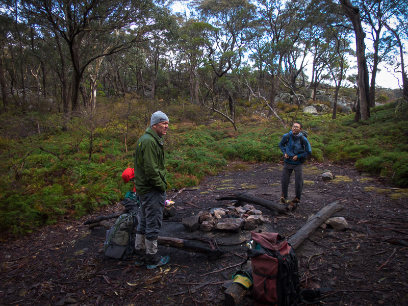
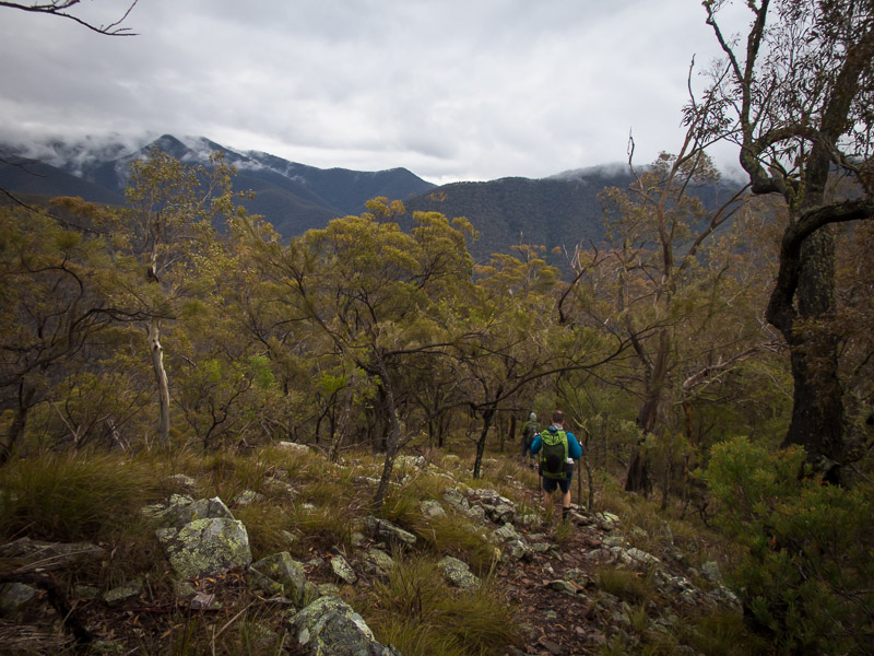
Saturday started rather disastrously as my car ran out of petrol on the Hume somewhat short of our meeting point at Sutton Forrest. Oops. Eternal thanks to the other car who bought a jerry and drove it back to us, and to Tom for taking his life into his hands to fill up on the edge of the Hume with about 30cm separating him from the traffic hurtling past. With that little hiccup ironed out we were only running an hour later than scheduled. We started walking shortly after 11am. The leader demonstrated her inability to navigate and converse, by marching off down the road in full conversation, while her husband kindly pointed out we were meant to be in the bush…. Aaah. The joys of being leader.
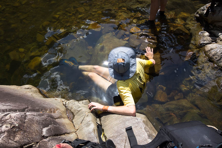
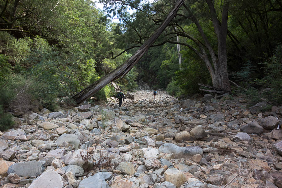
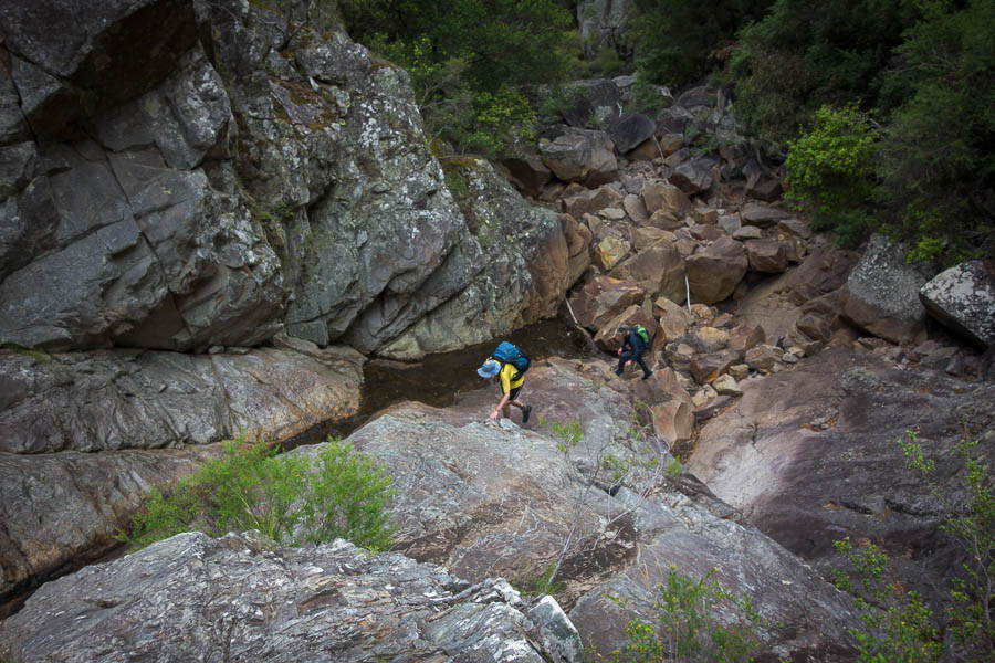
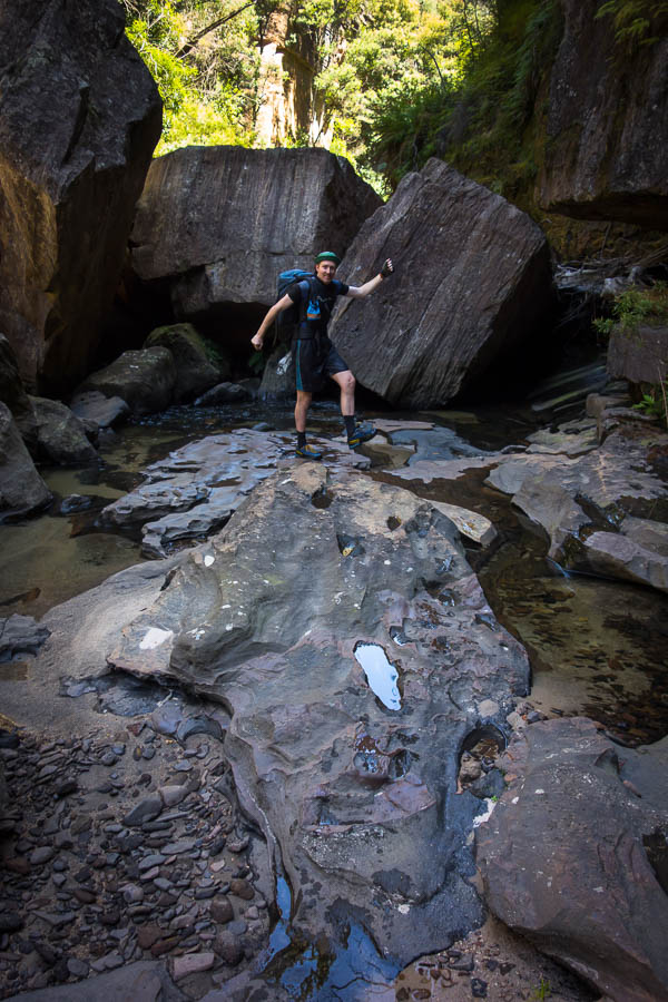
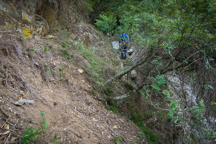
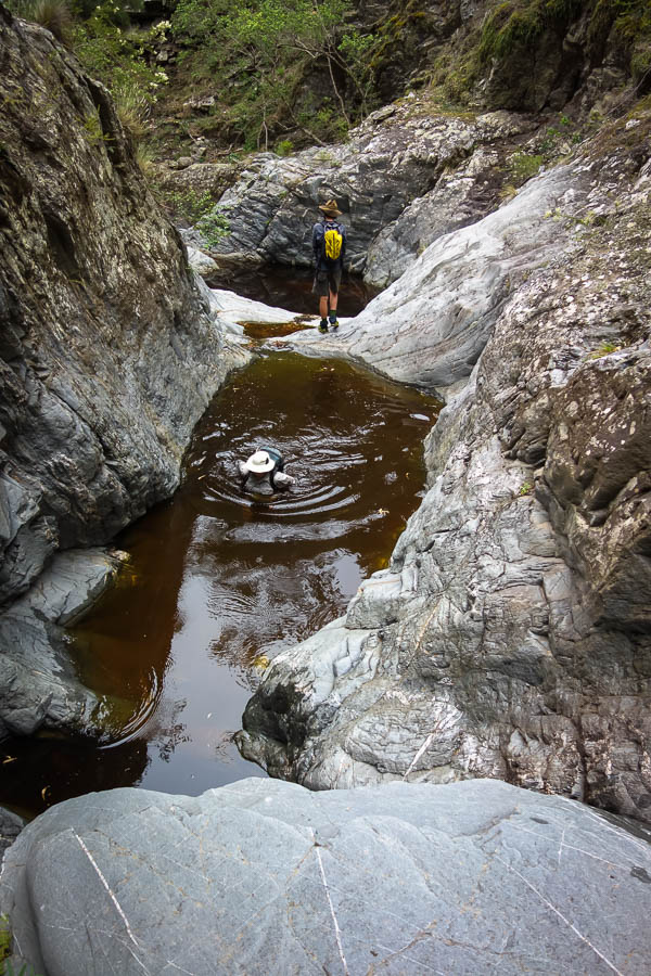
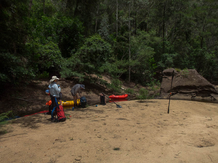
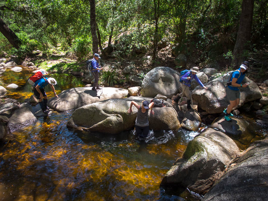
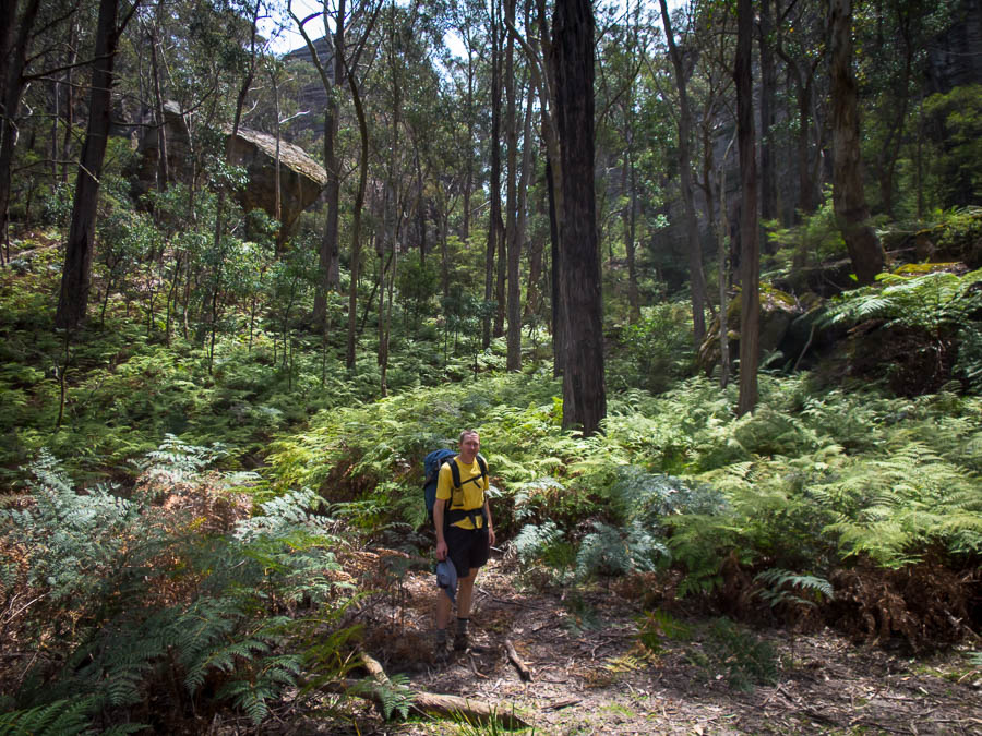
We had a bit of scrub to deal with, and we overshot the side creek we were trying to get in by, but it didn’t take too long before we were in Bullfrog Creek. I was pleased that there were pools of water even in the upper reaches. I had been hoping for lunch by a swimming hole but settled for shade and a shallow pool.
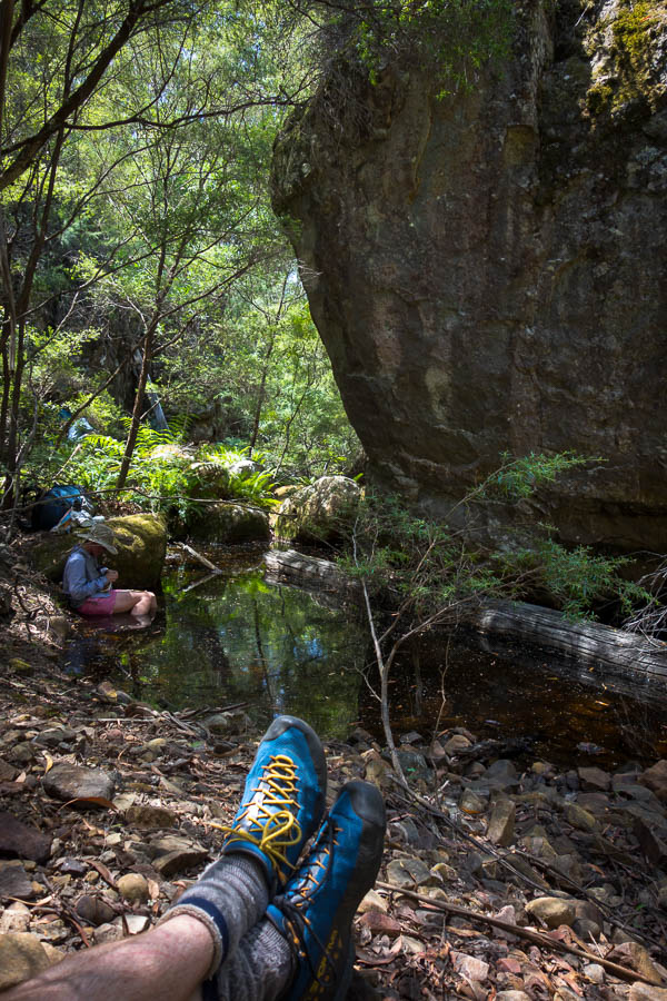
Lunch in Bullfrog Creek on day 1
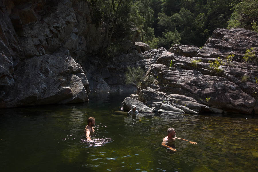
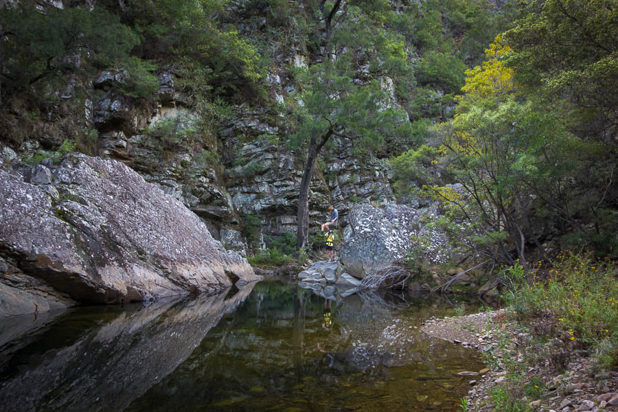
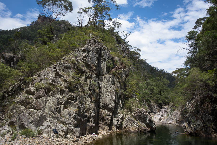
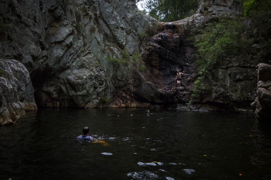
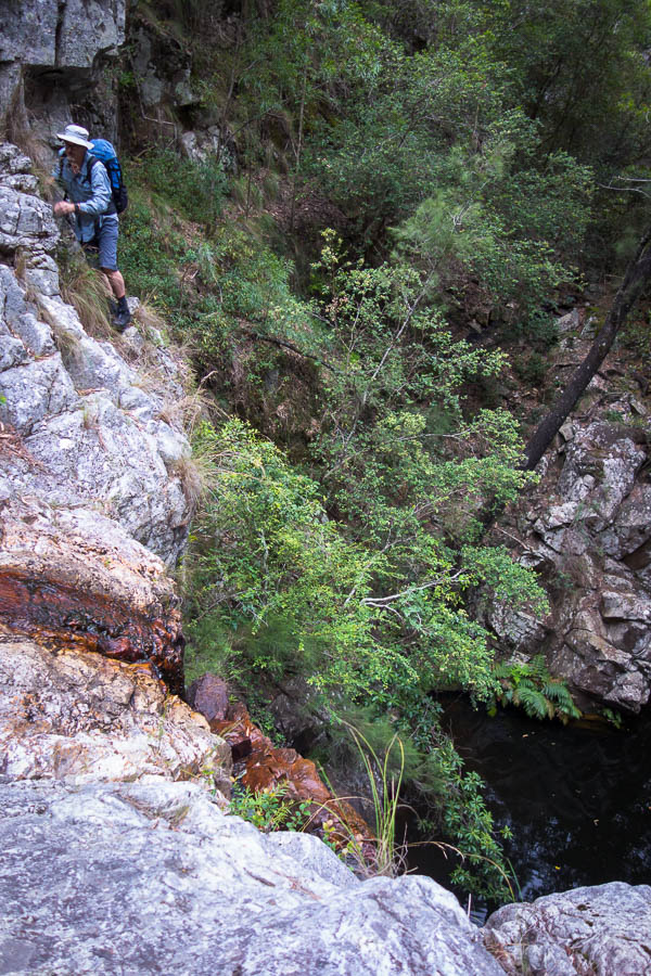
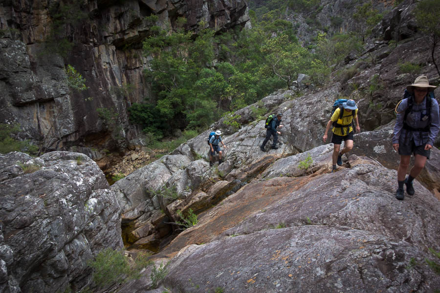
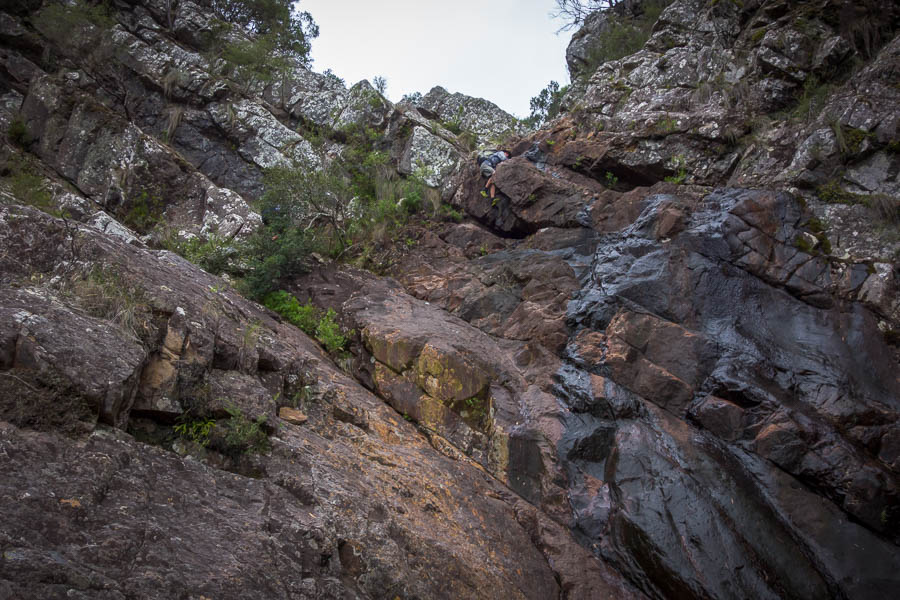
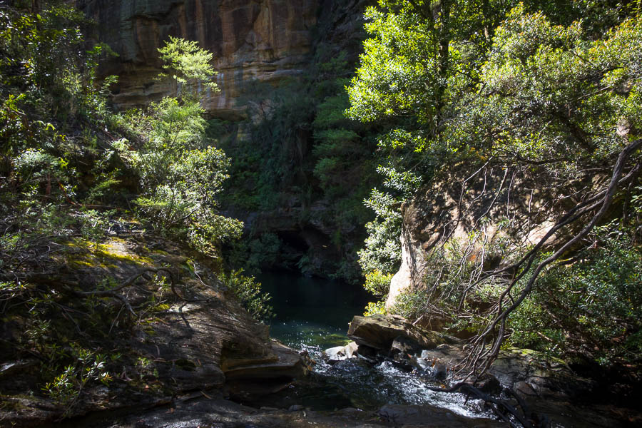
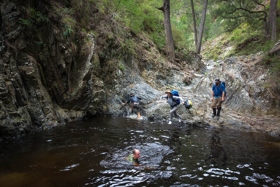
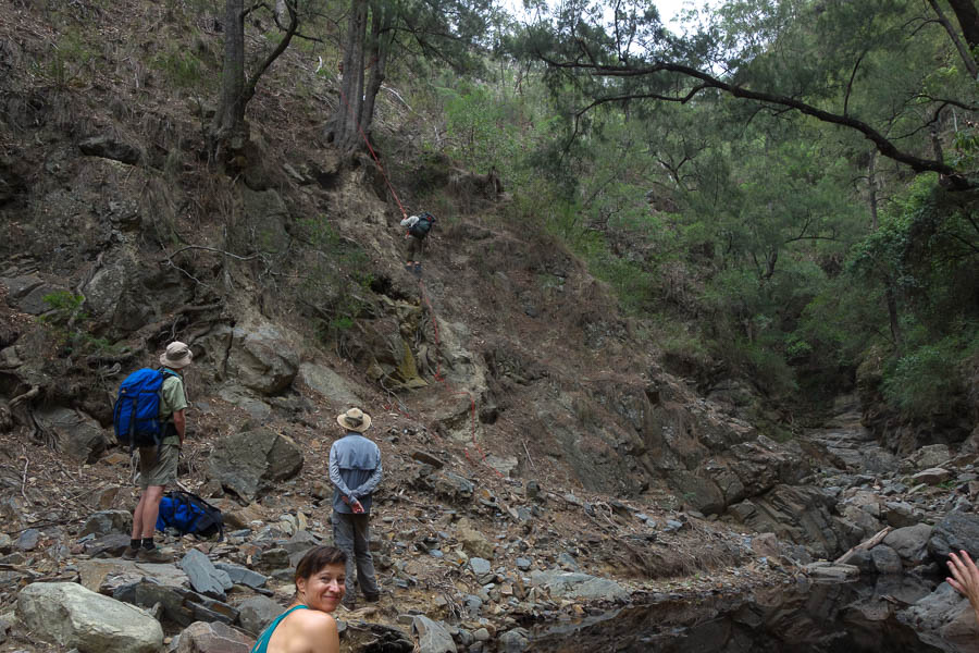
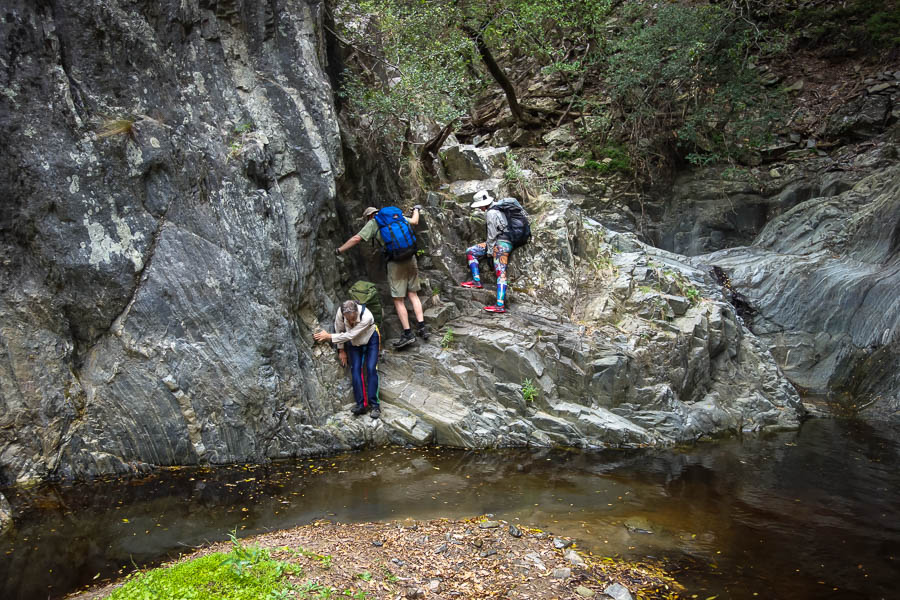
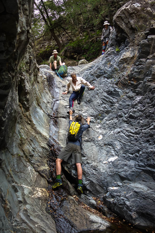
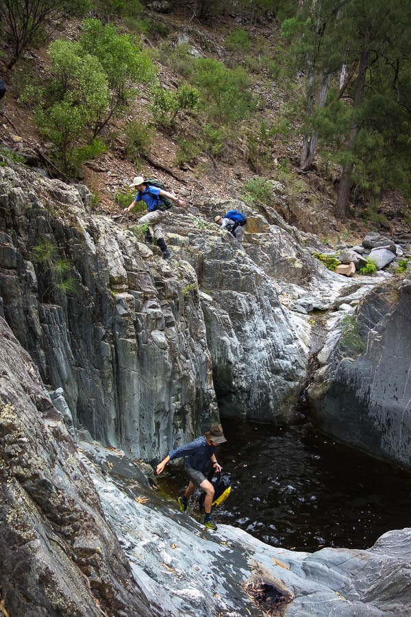
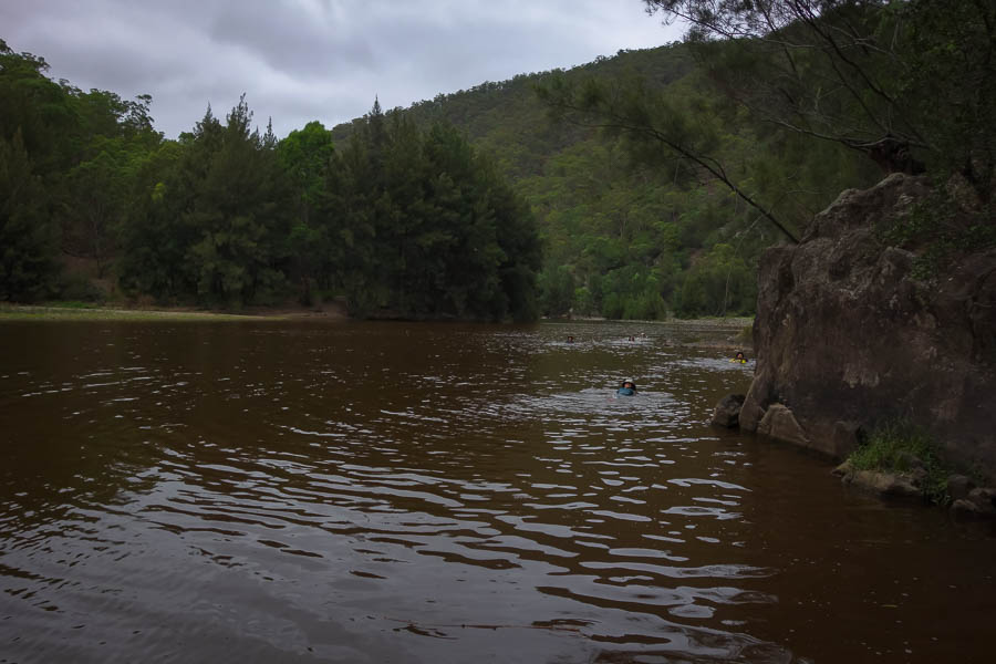
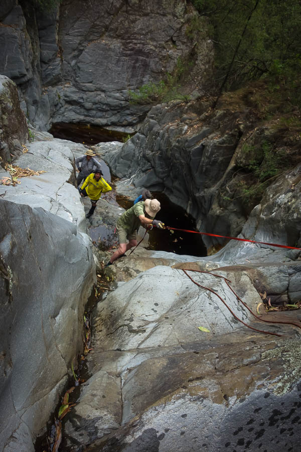
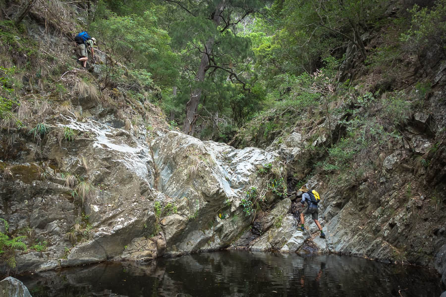
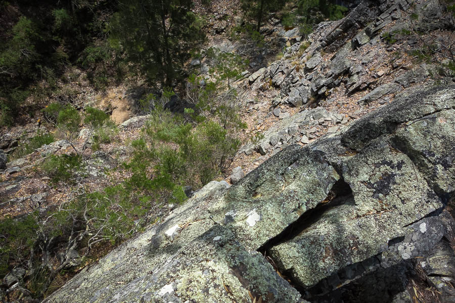
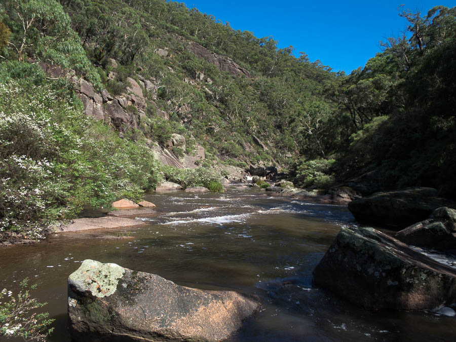
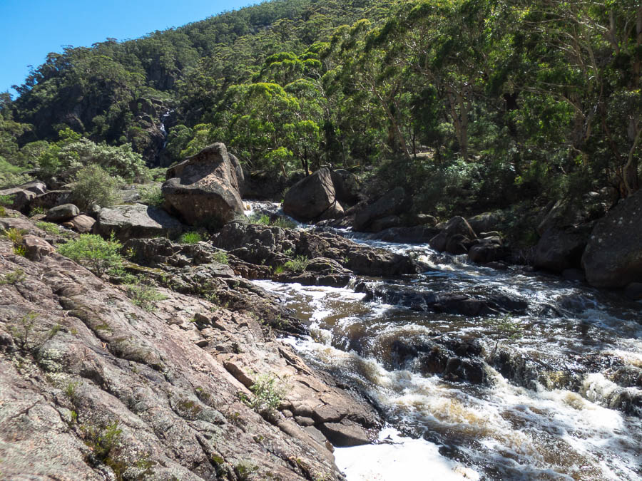
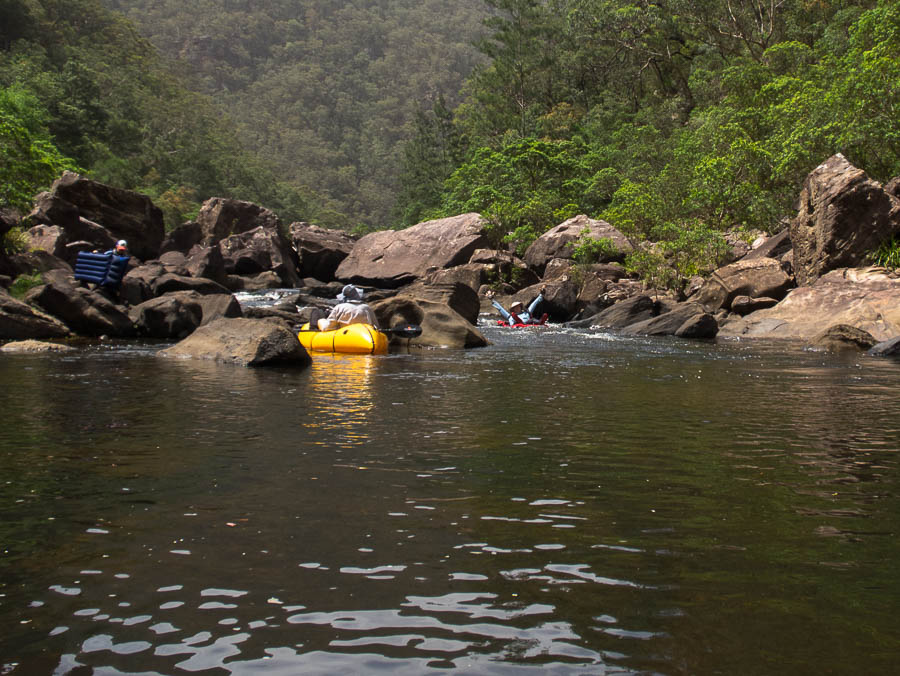
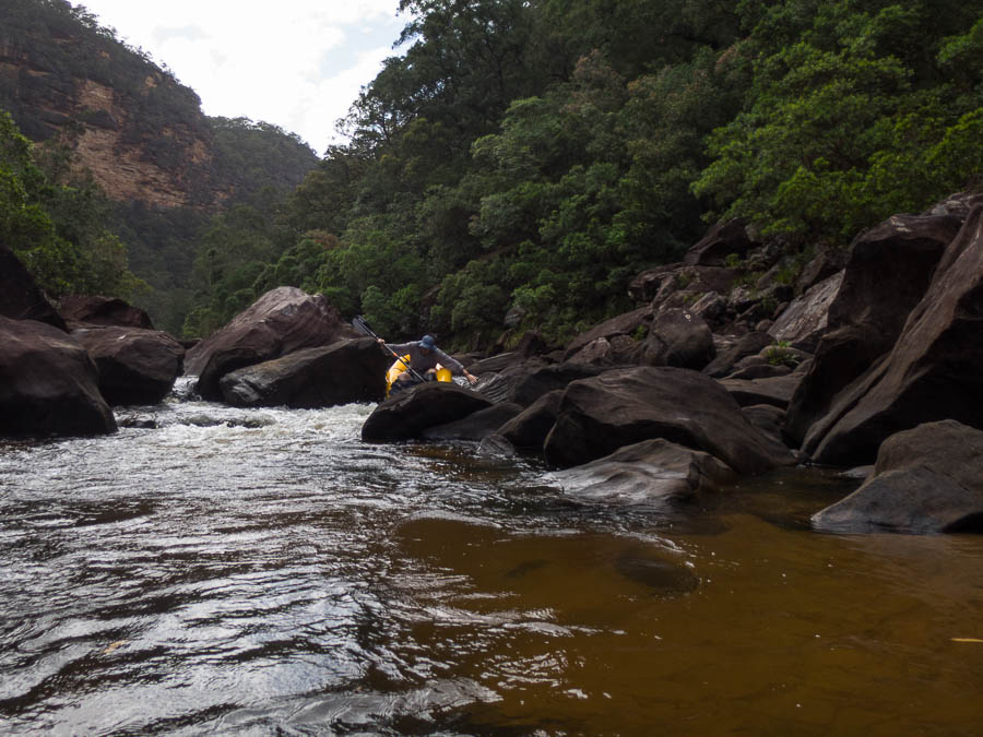
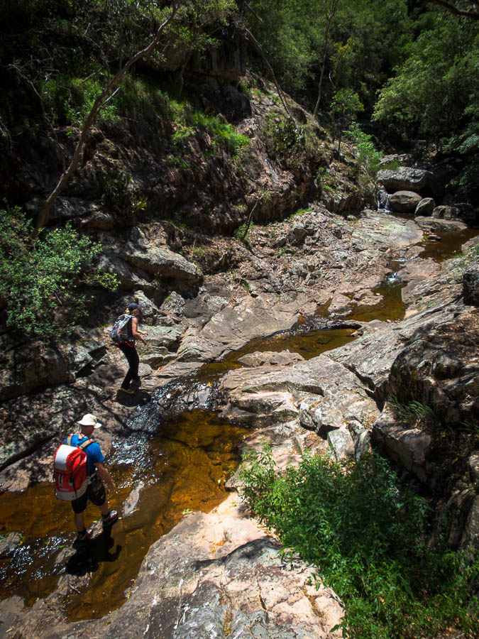
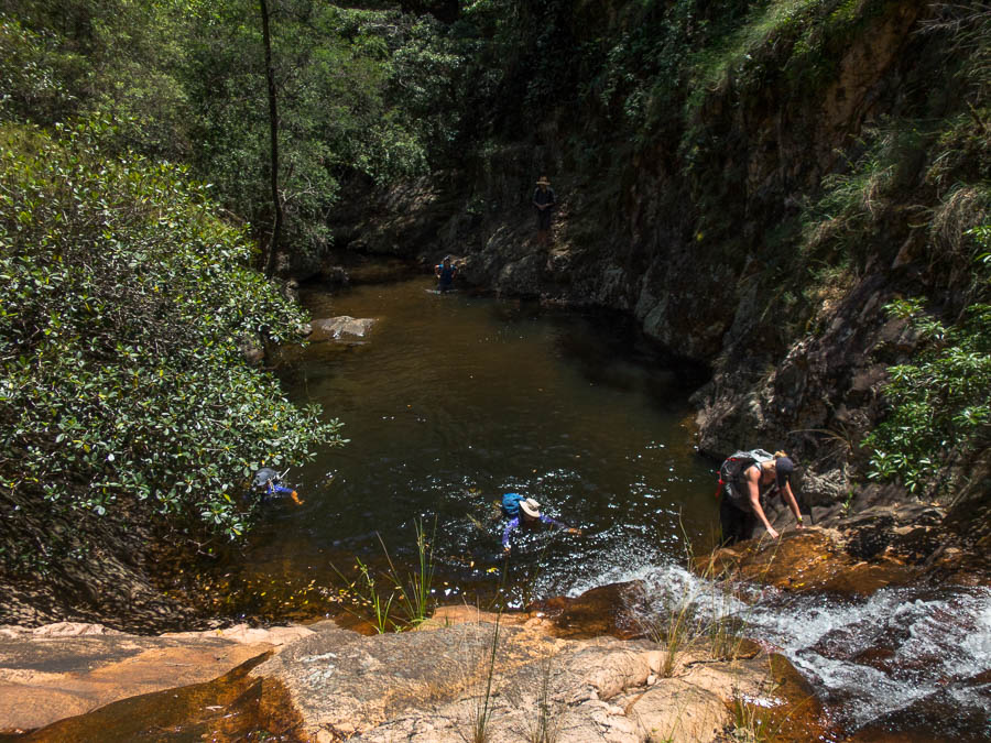
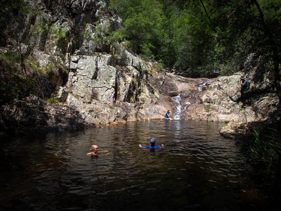
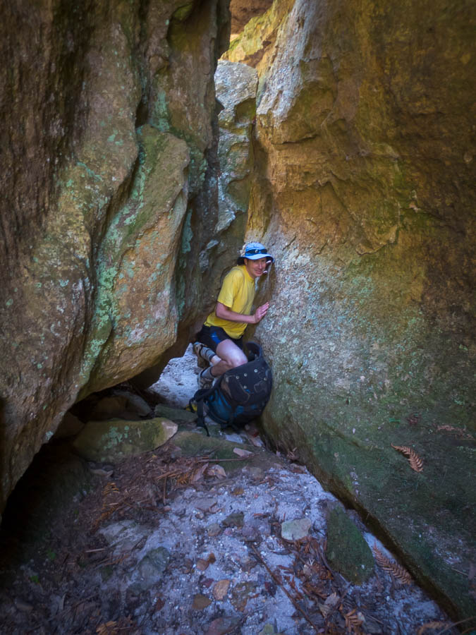
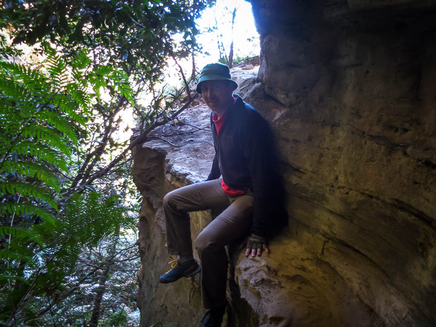
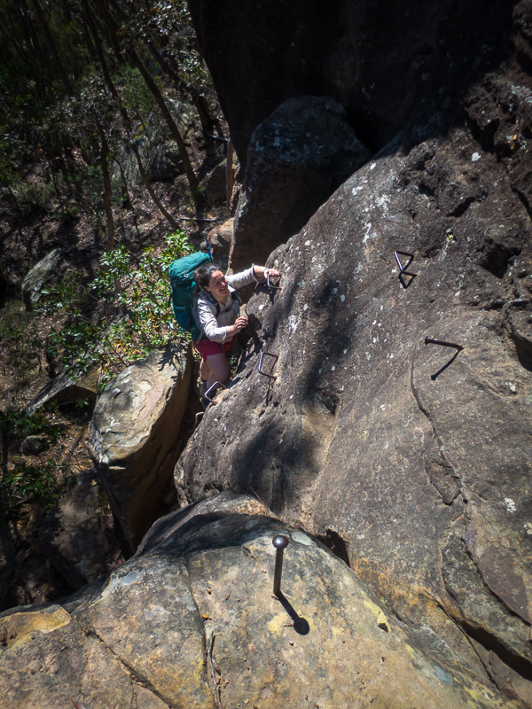
There was a bit of scrambling and the handline came out for one drop before we made it to Ettrema Gorge. Nerriga topped out at 39.9°C about the time we hit Ettrema so it was no surprise that the first semi-decent pool we got to had everyone in it!
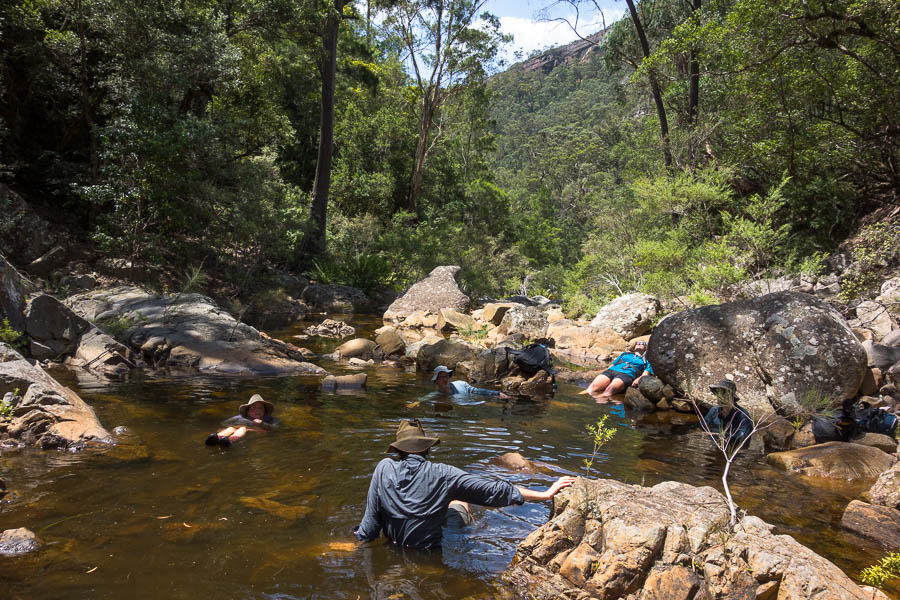
As soon as we were in Ettrema Gorge it was spa time!
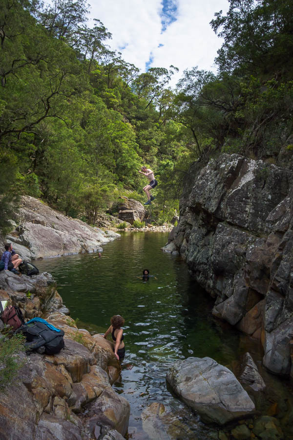
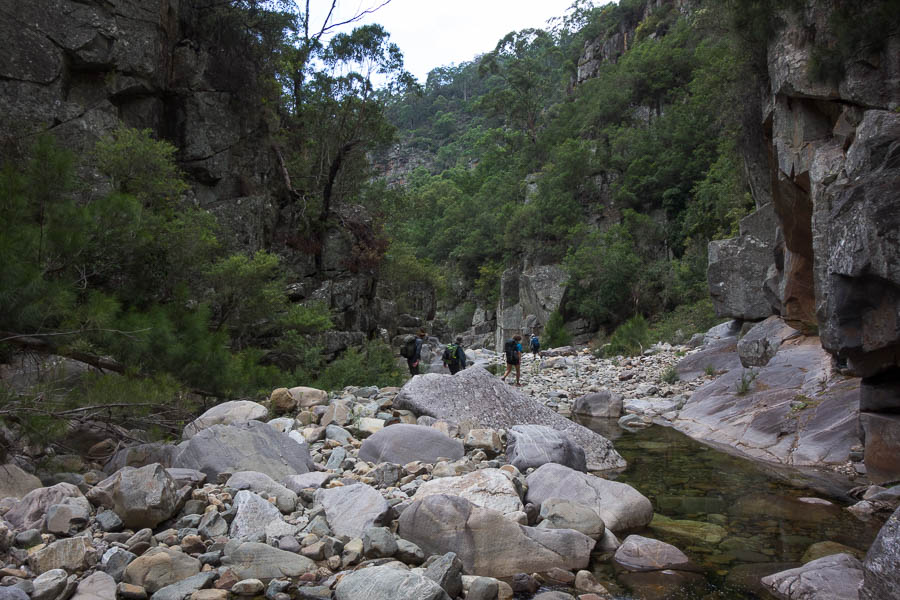
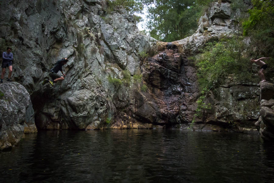
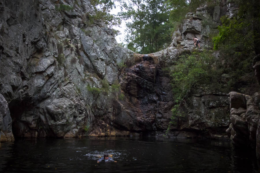
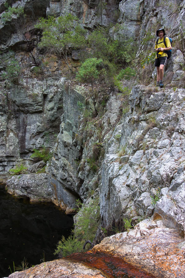
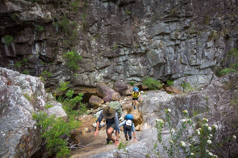
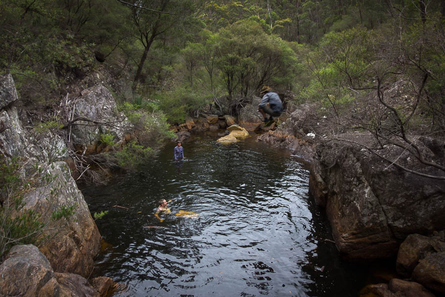
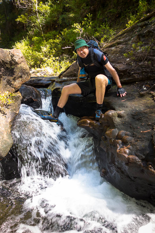
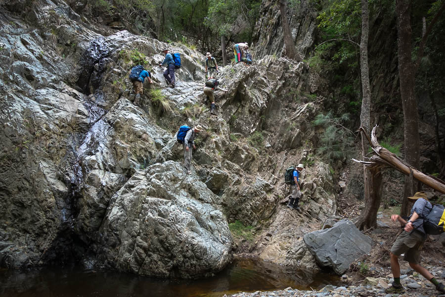
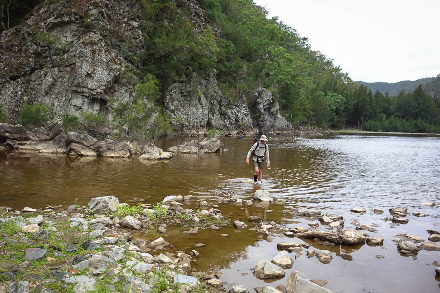
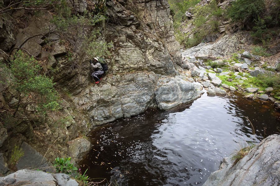
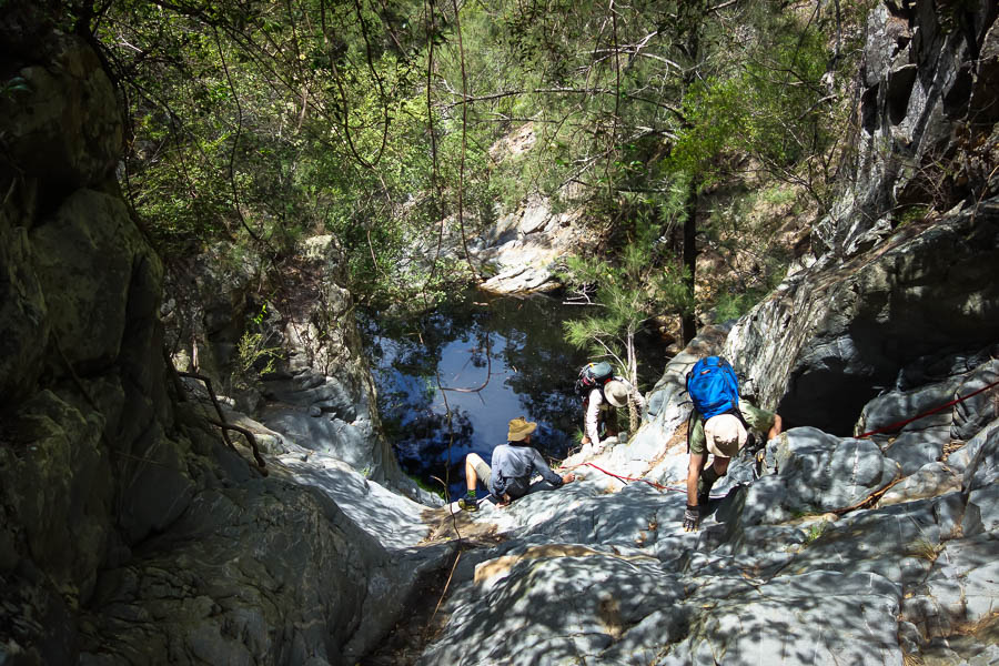
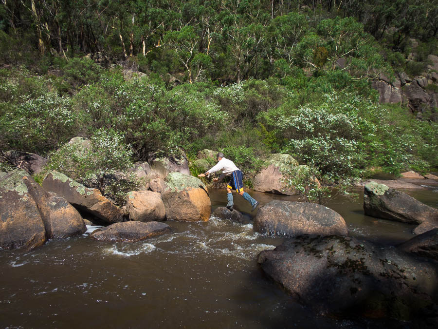
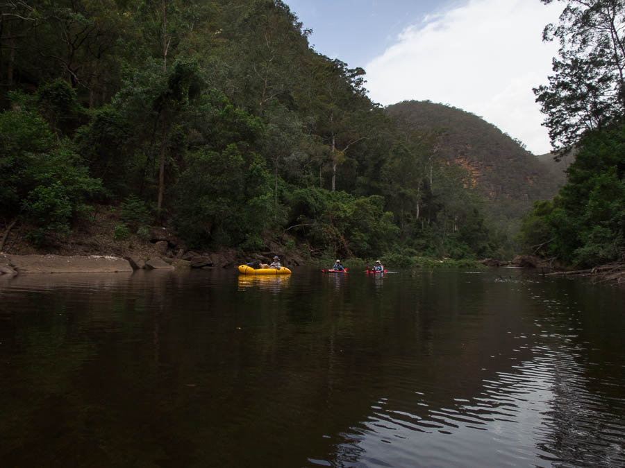
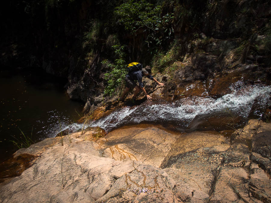
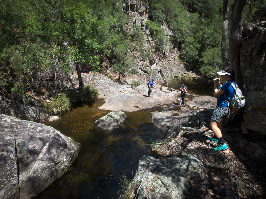
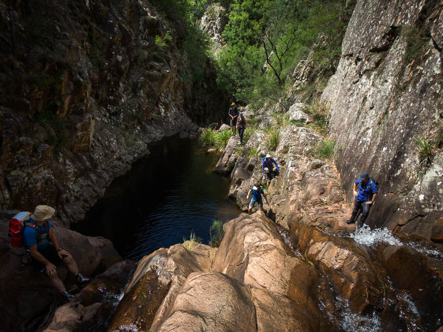
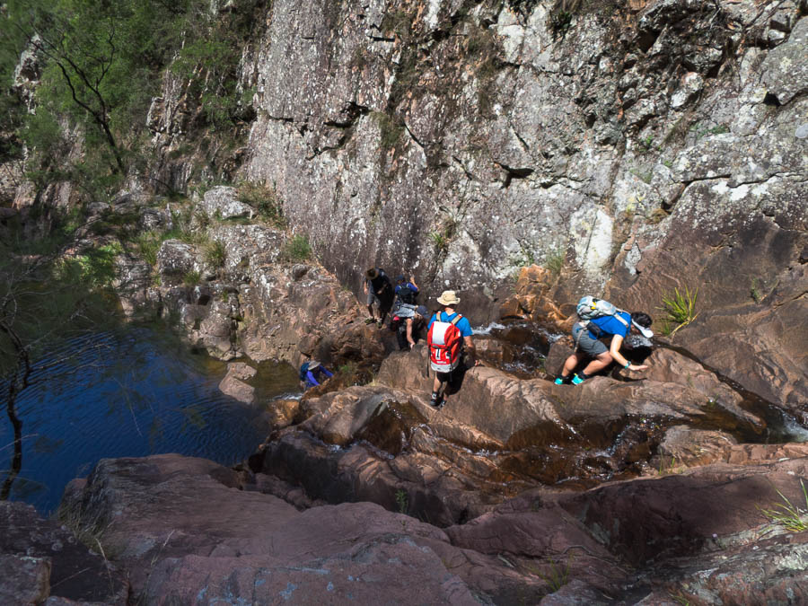
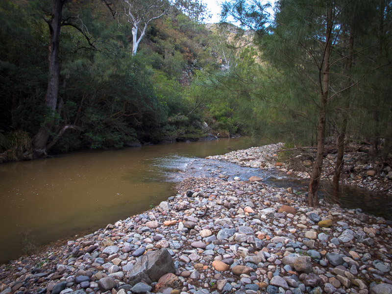
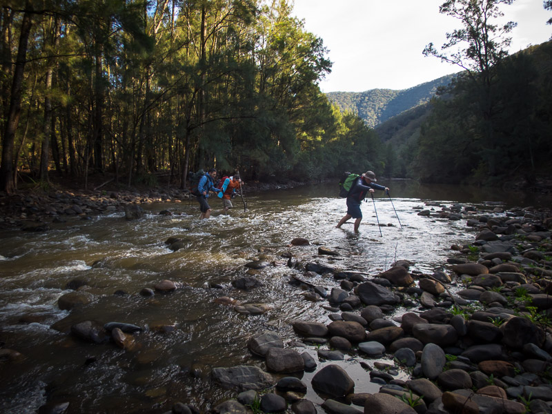
From there we made our way down the creek, scrambling, swimming or jumping as seemed fit.
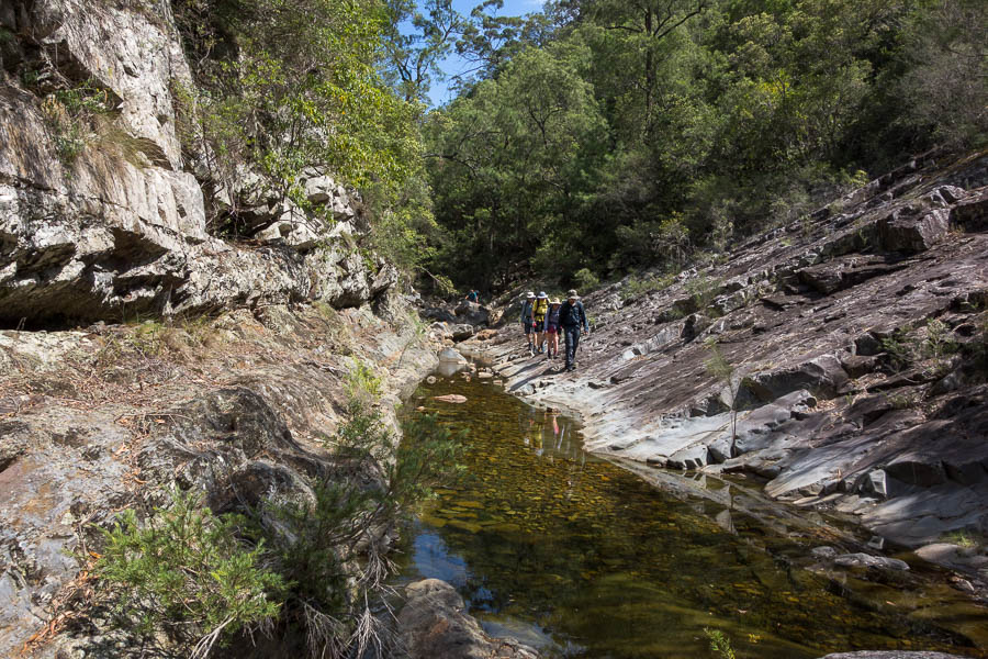
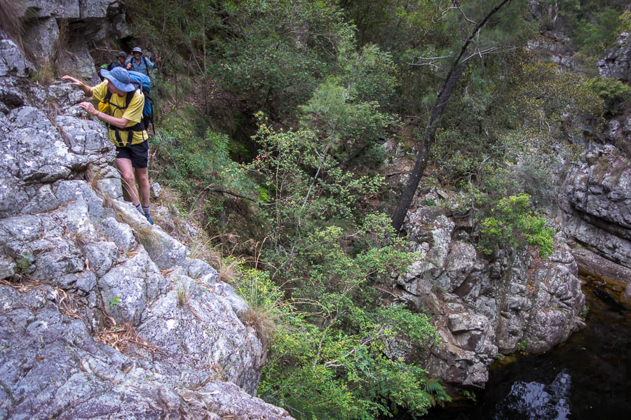
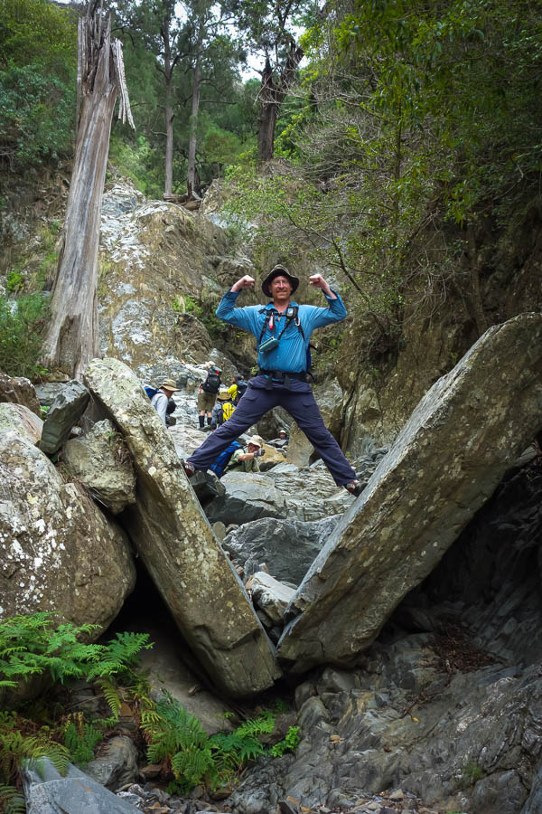
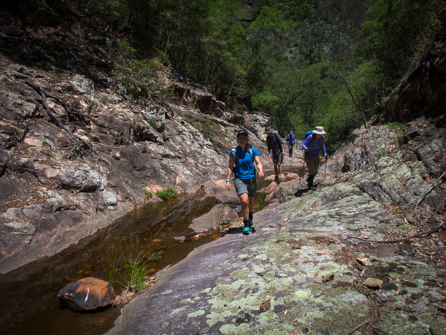
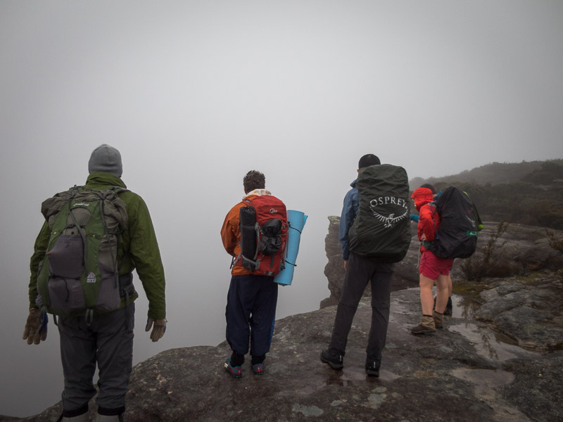
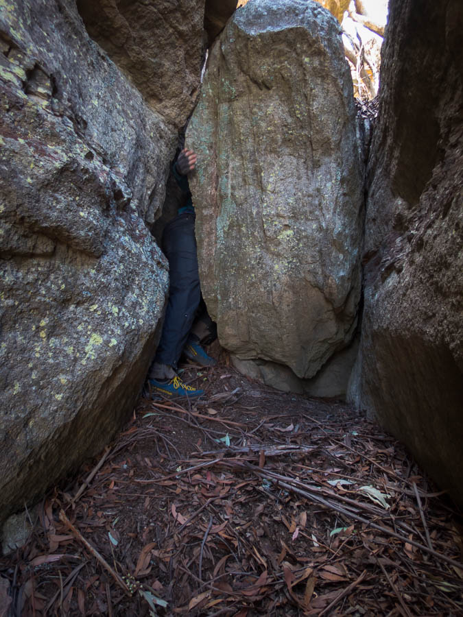
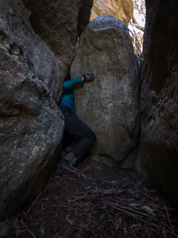
Must stay in single file…
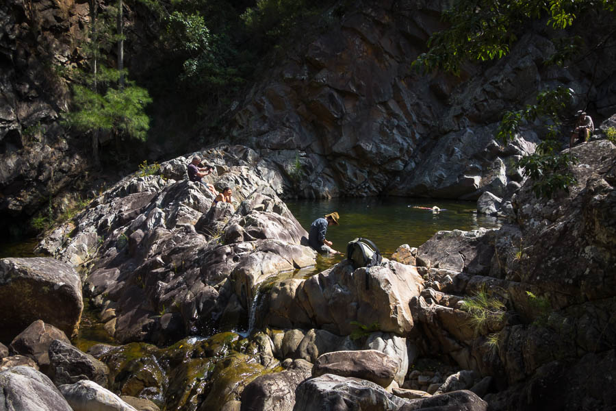
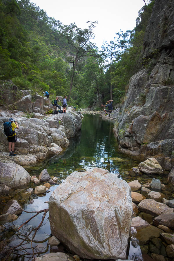
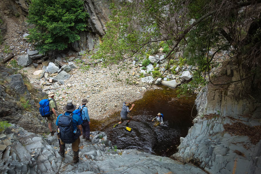
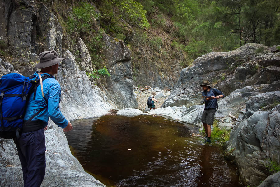
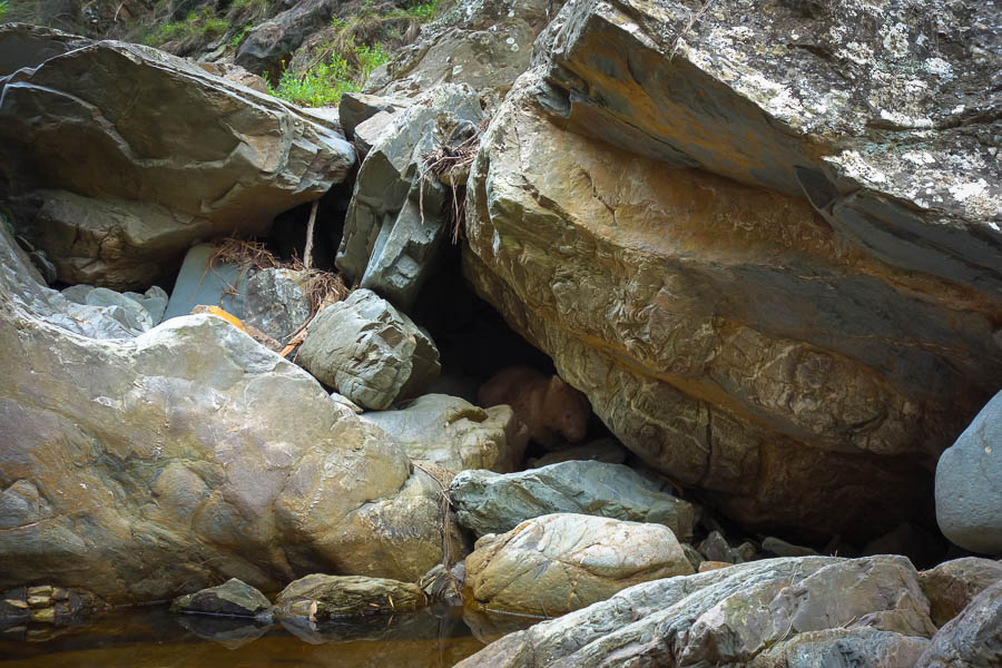
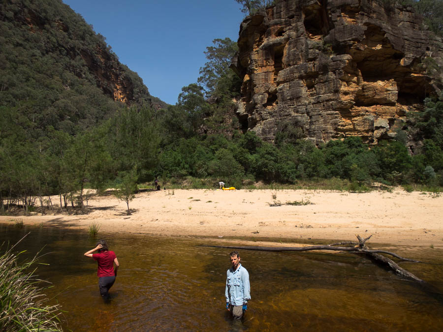
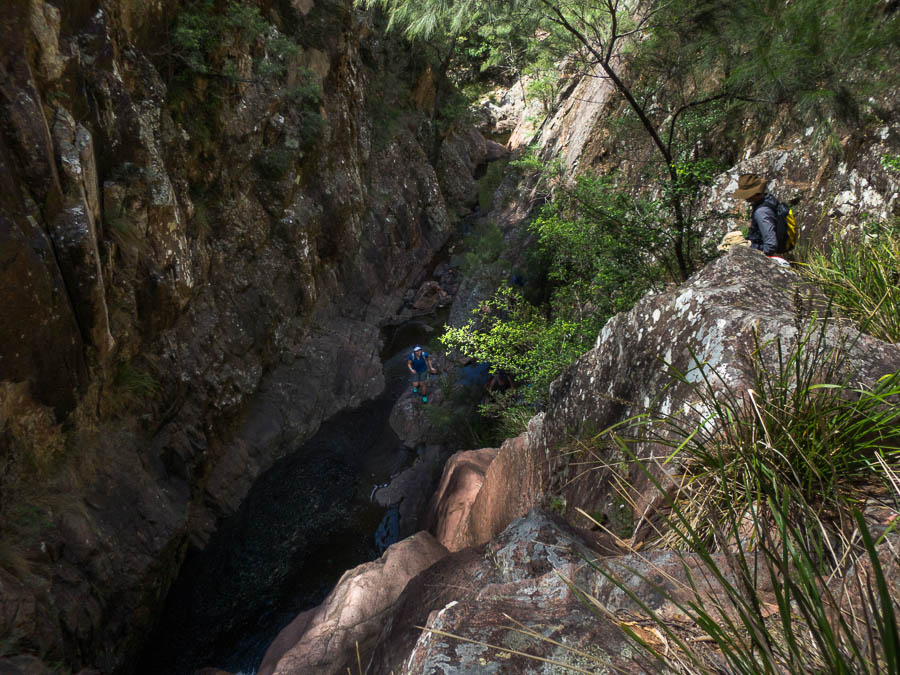
We had seen another car near the entrance to Bullfrog but we were hoping the occupants weren’t going to be at our intended campsite. We got to Isoceles Pool on a bend which I recognised from one of Tom’s trips. I got the thumbs down from Alex which I was surprised at as he had been depth testing the water and it looked good for jumping… but then I realised it was because he had seen people.
The depth-testing rock plop
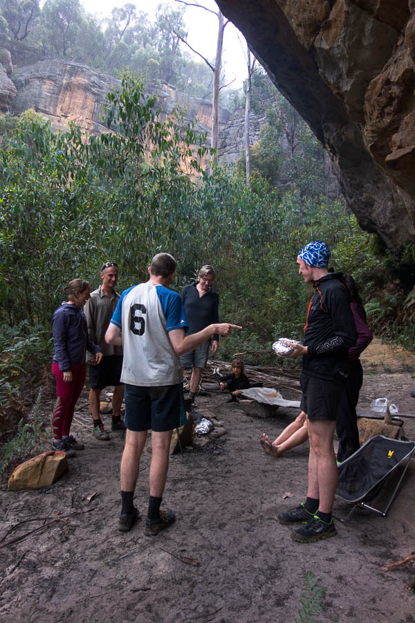
But I recognised the first person I saw, we’d met at the SBW Christmas party. I knew another SBW group had planned to be in Ettrema over the long weekend, but they weren’t meant to be here today. Given the weather it didn’t surprise me that they weren’t at their intended campsite on the tops.
This is the life
Hang on a minute, they didn’t walk in with us
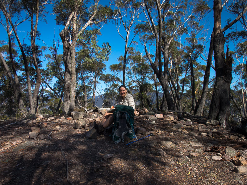
Tough life on a 37°C day in Sydney
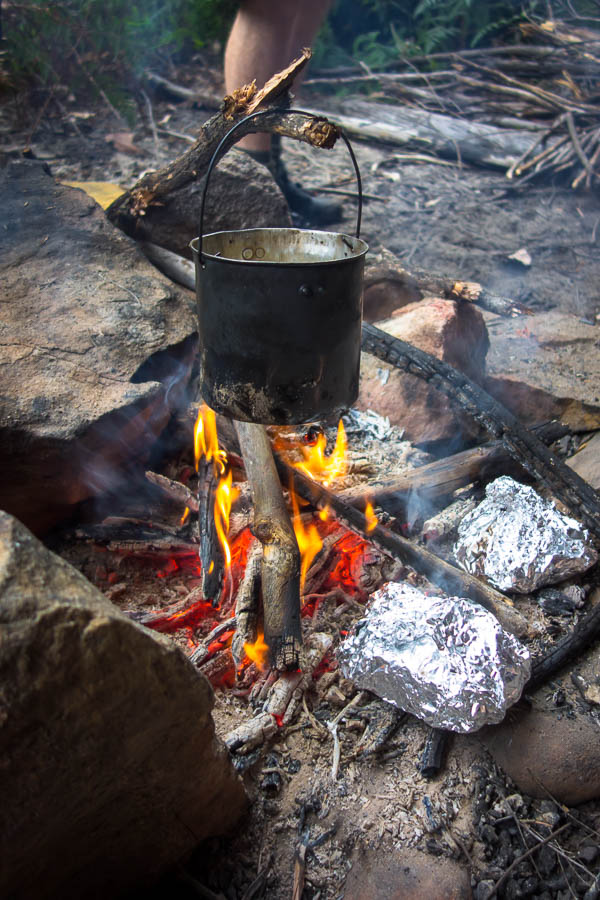
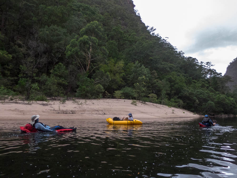
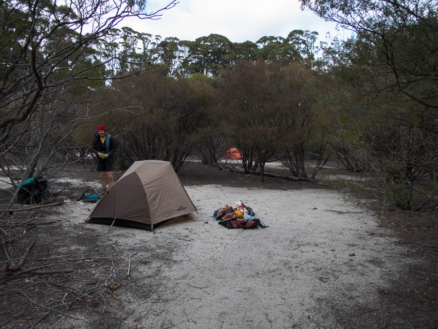
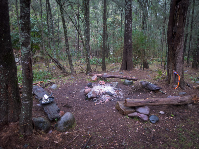
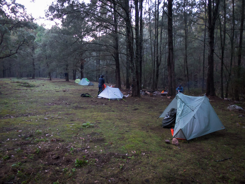
Fortunately the campsite was large enough to accommodate both groups and we had a lively time around the non-existent camp fire (park fire ban and besides with the weather…). To the bemusement of the longer-term members in the other party Alex pulled out the SBW Song Book from many years ago and proceeded to provide some entertainment. Thunder and lightning rolled around for quite a while lighting up the night. Most of us had gone to bed when it started raining quite heavily. Much relief that the flies had all been put on tents!
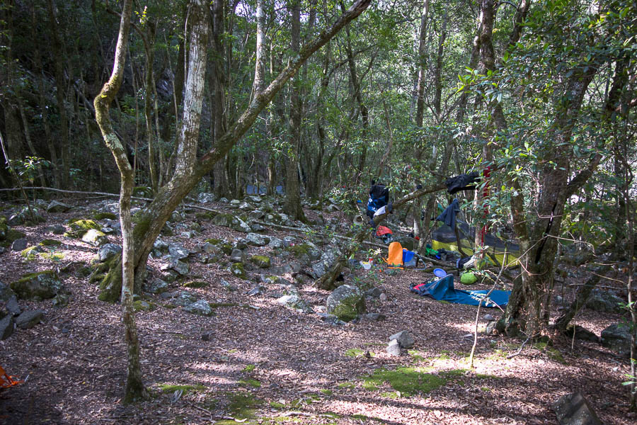
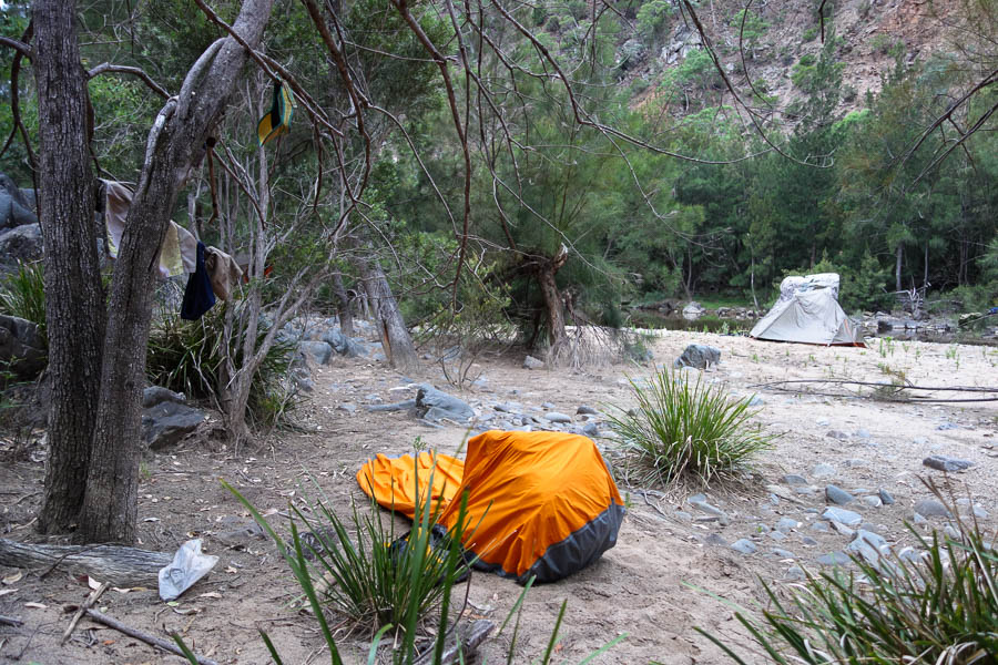
Fortunately it was a large campsite
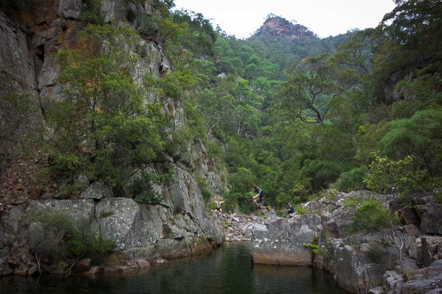
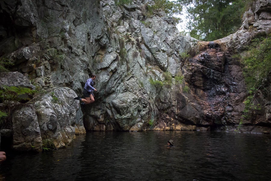
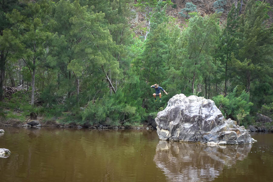
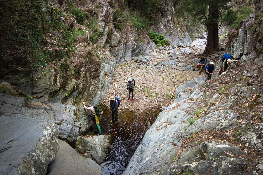
My group was meant to set off at 9am but I knew we were unlikely to hit that when I only looked at my phone at 7:50am. I couldn’t believe we’d slept so late – probably in part due to the overcast sky. Eventually we got away about 9:20am. It wasn’t long before the first jumping opportunity…
Early morning jumps
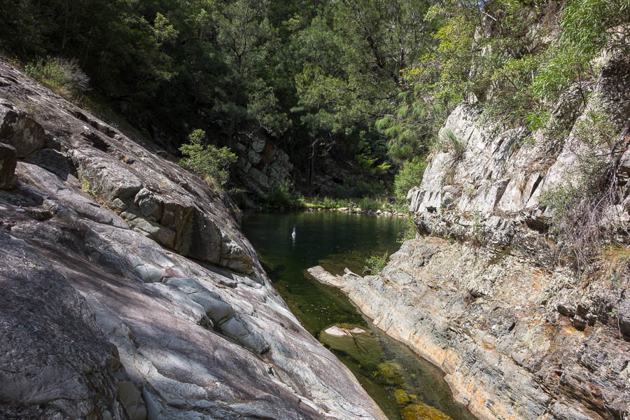
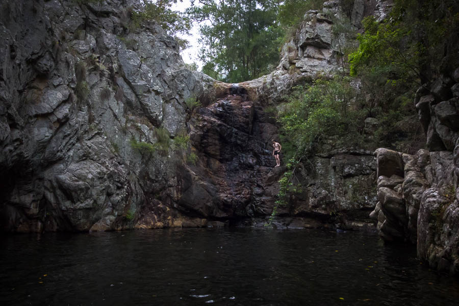
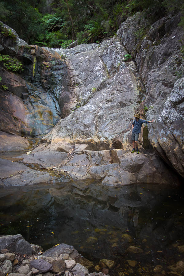
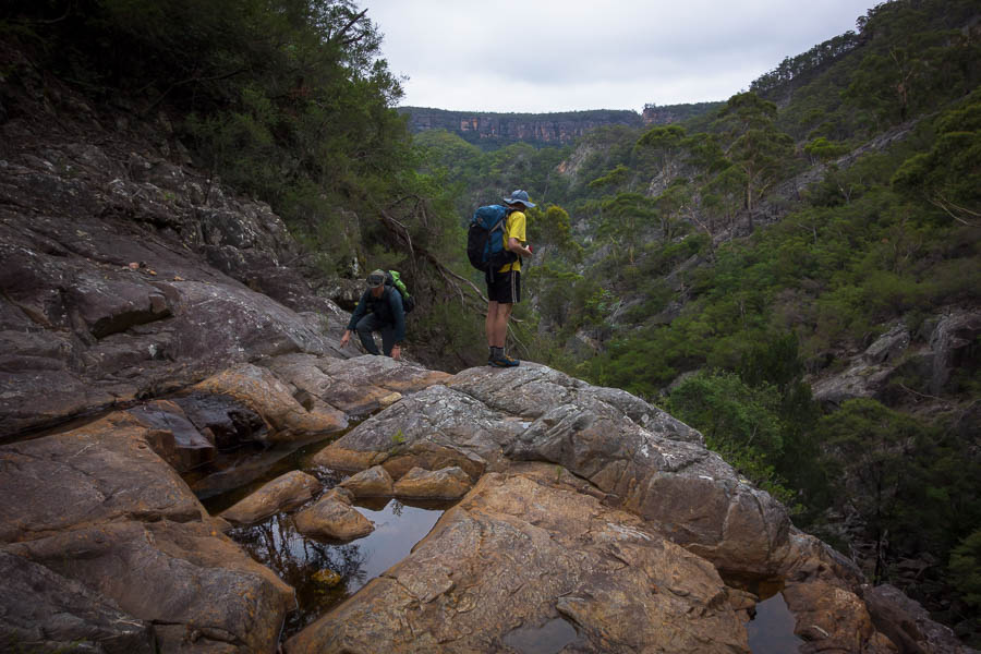
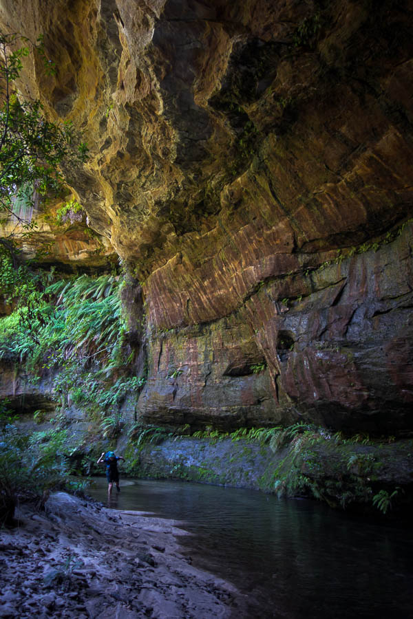
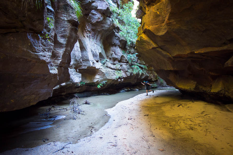
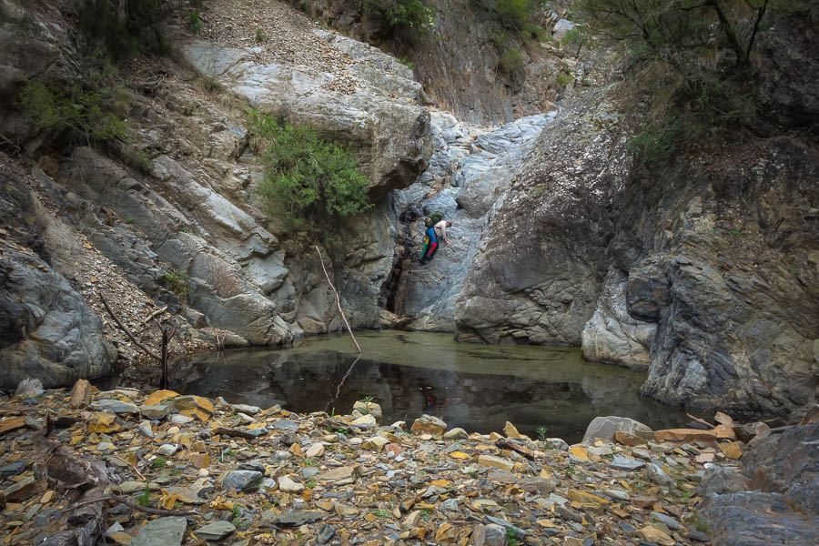
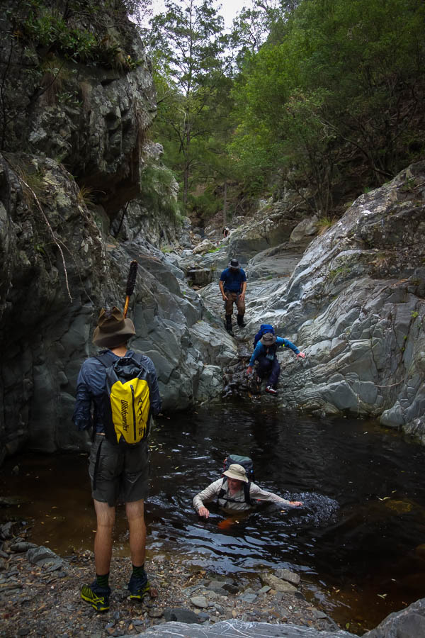
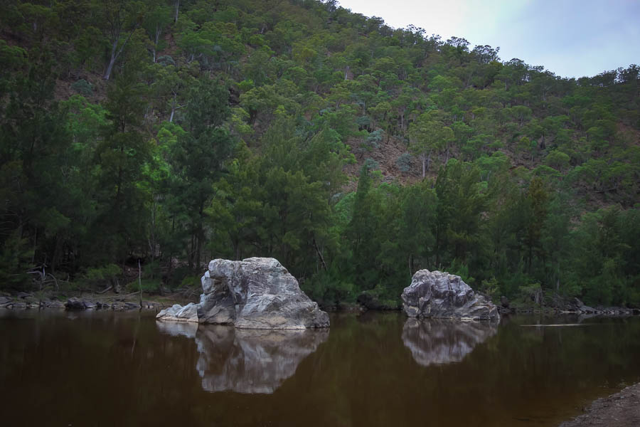
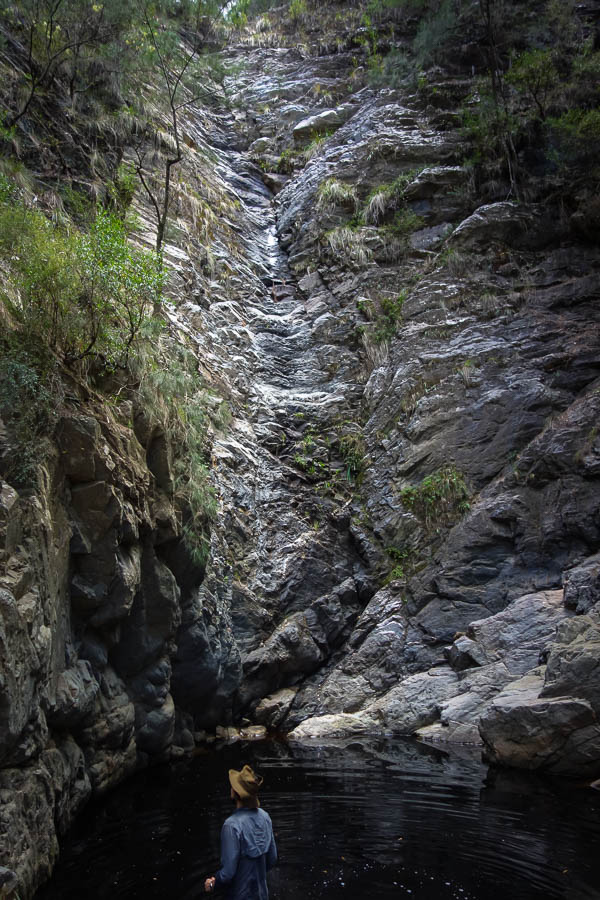
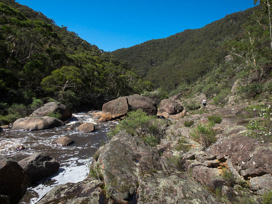
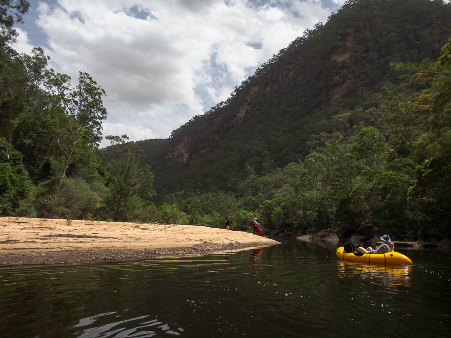
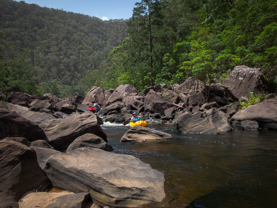
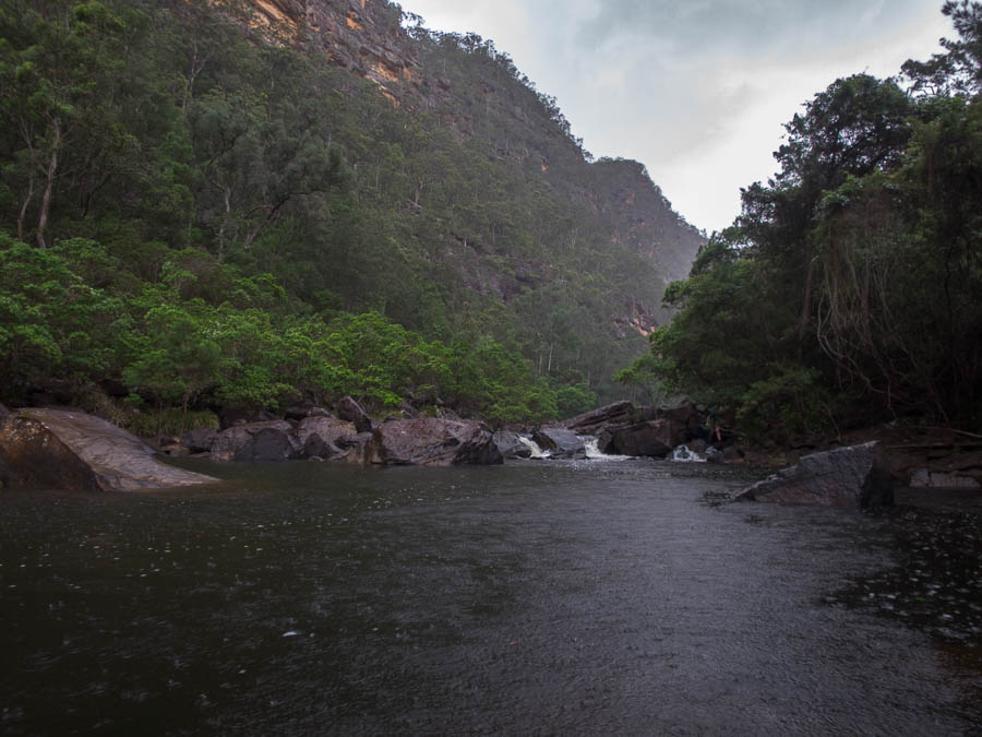
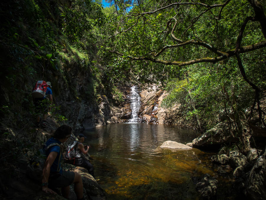
Not all of the gorge was waterholes
Morning tea jumping
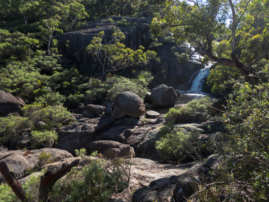
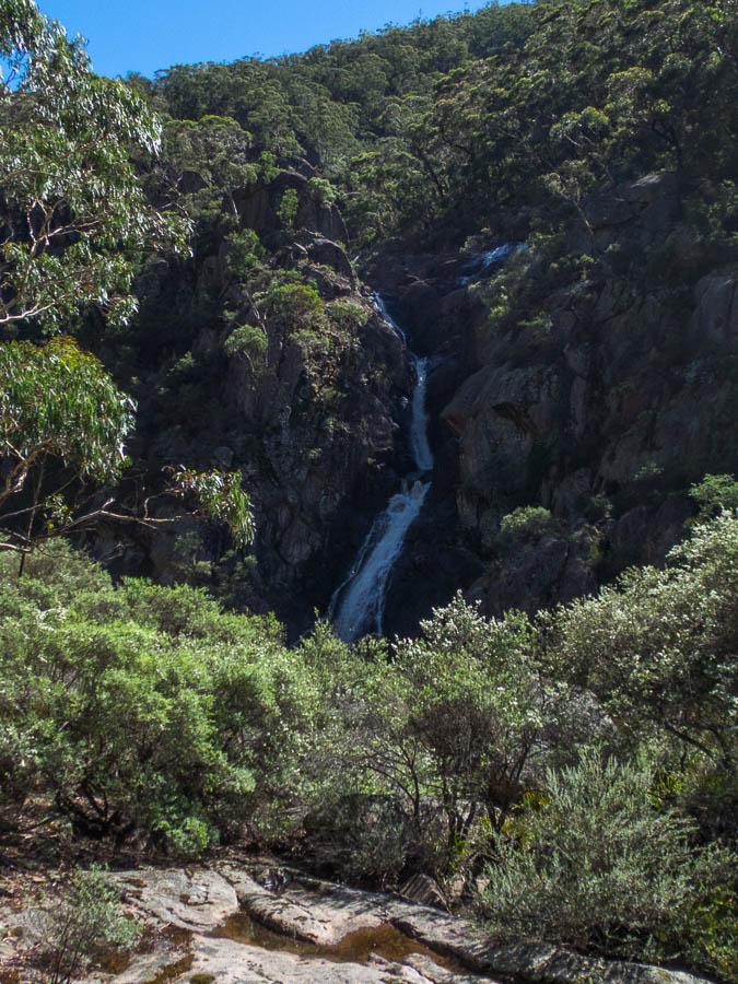
Beautiful cascades
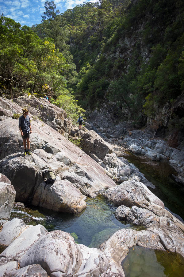
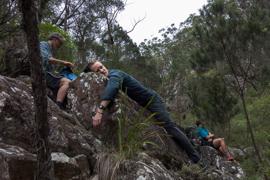
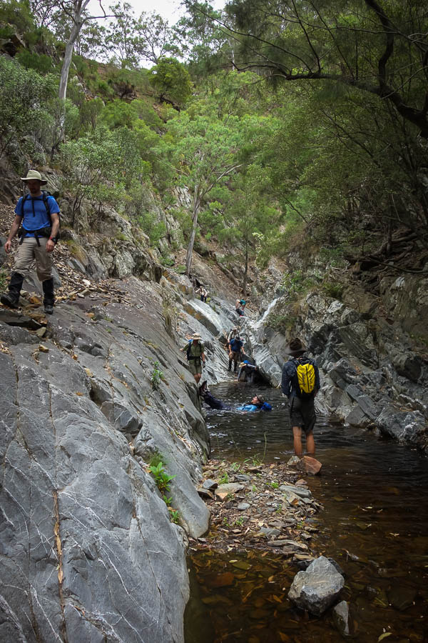
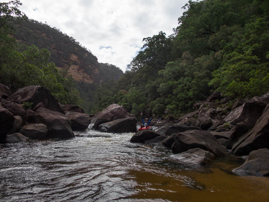
It was a lovely relaxing day. Rock-hopping, interspersed with swims (and jumps), and with an unambitious schedule there was no particular hurry.
Lunch time tea and float
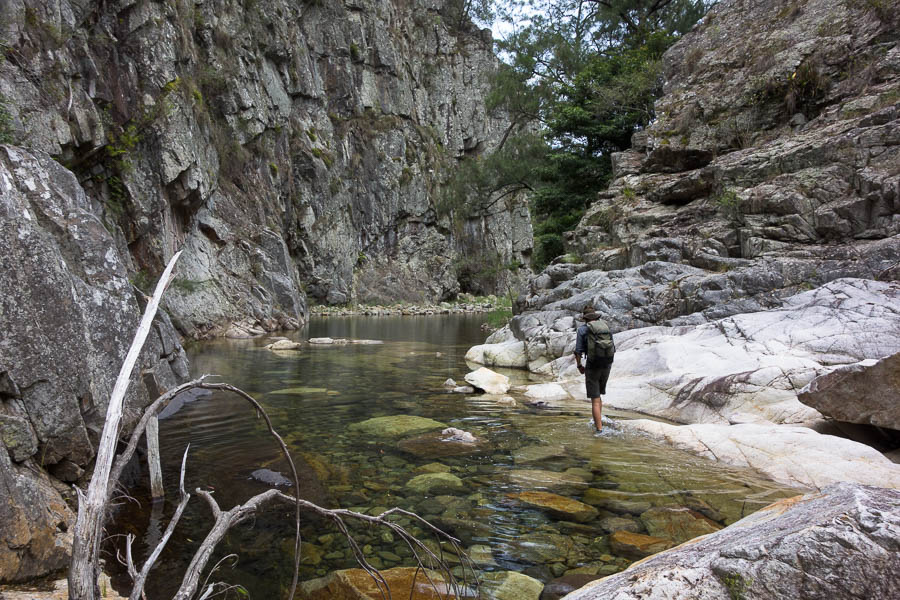
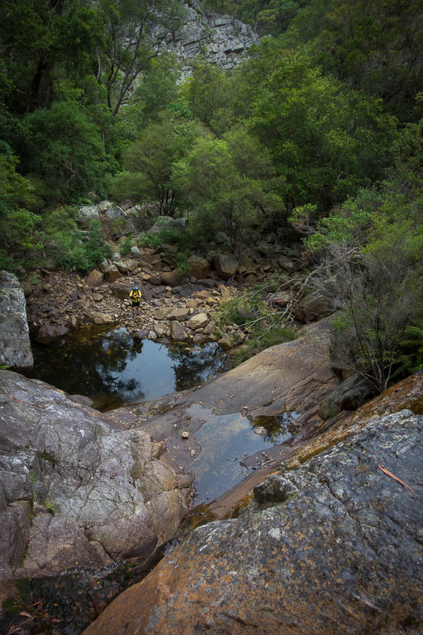
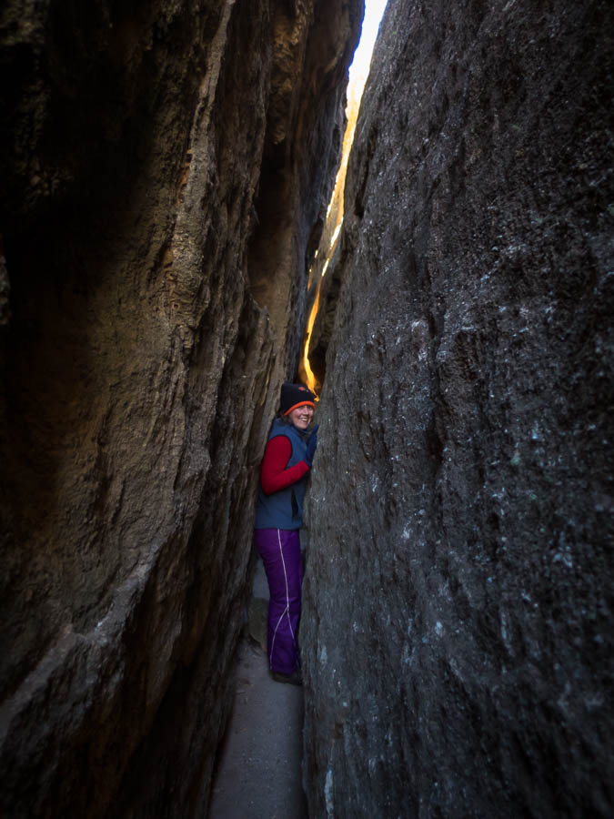
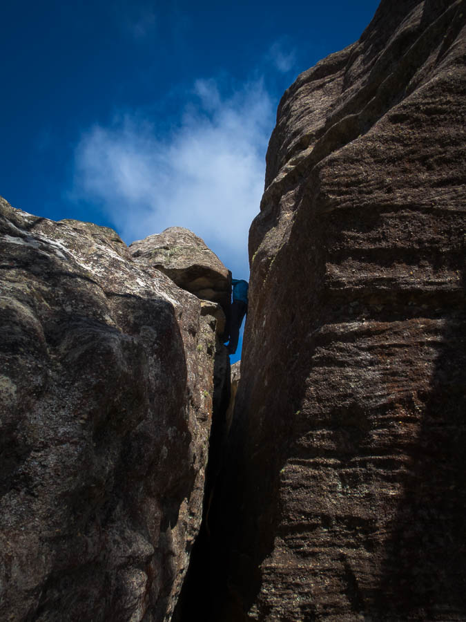
Gorge walking
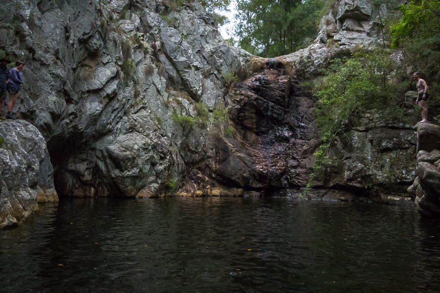
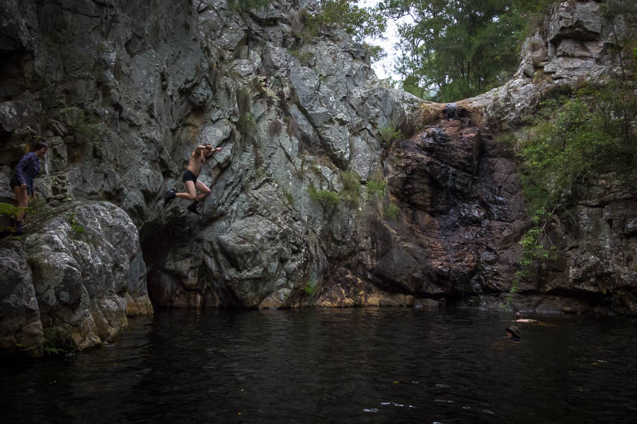
Afternoon jumping
Synchro jumping
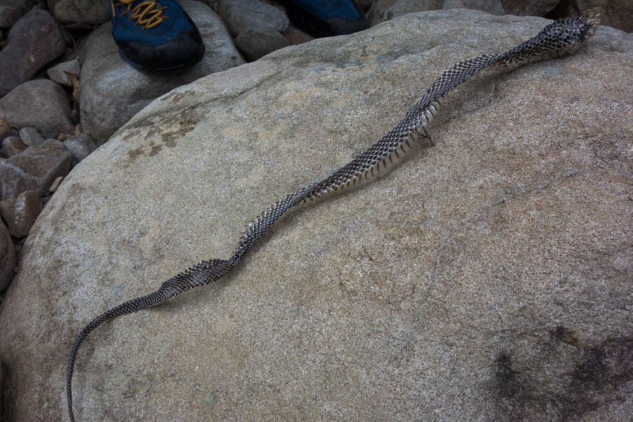
Recently shed skin
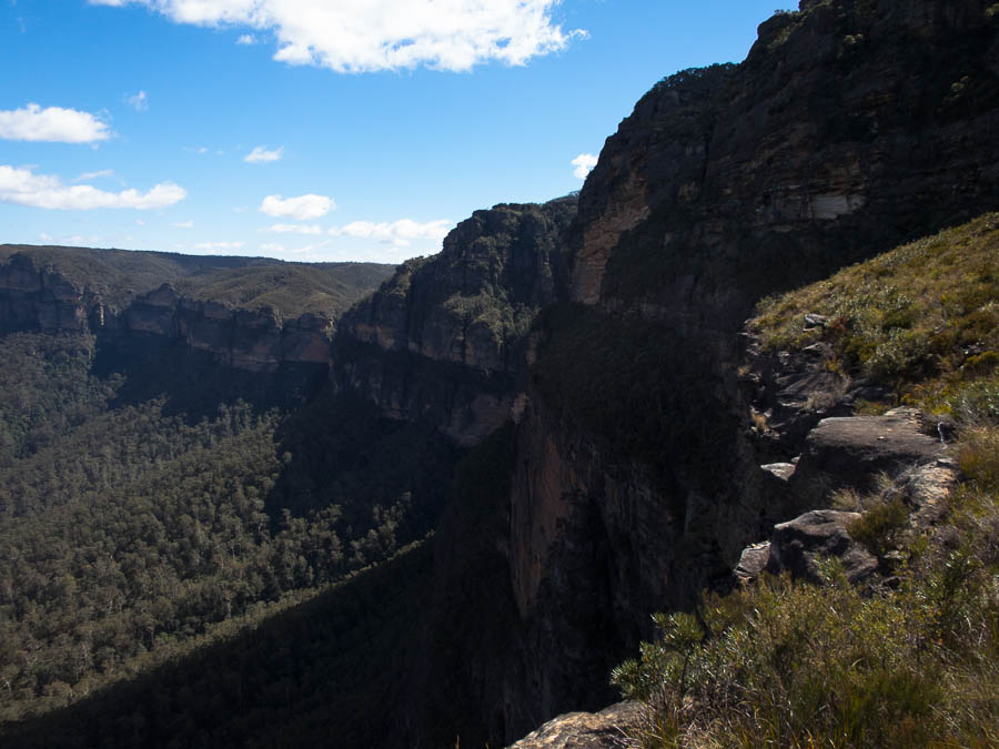
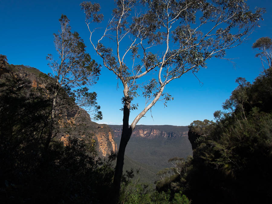
Stunning gorge
I had floated the idea of heading down to Jones Creek that afternoon, before walking out via Myall Creek the next day. However, there was vocal support for camping at Myall Creek, and none for Jones so we stayed at Myall. There was a bit of scratching around for enough sites for everyone but I think we were all accommodated reasonably in the end. We had an excursion up Myall Creek to the swimming hole to fill the afternoon. I soon regretted it as, of course, then the questions started about how we were exiting the next day. “no, we’re not climbing the face of the waterfall” “yes, we are going to traverse across to the top of it” “no, you’re not going to die”…. Hopefully the distractions of many jumps took the focus away…?
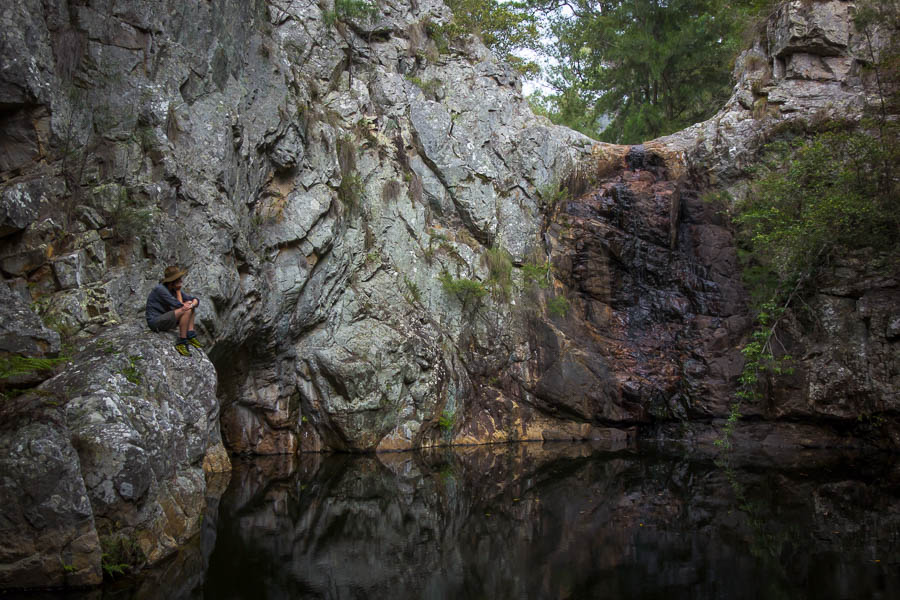
Contemplative stillness before the jumping began
OK, both of you jump on 3
No, not you Alex… Sierra and Steve
Yes, Sierra!
And Patrick!
Steve finds a higher jump spot
And launches
Tom decides to up the ante and get even higher… (though thinks better of it and comes down the same way)
Tom climbing up to the top of the waterfall to potentially jump didn’t make anyone less nervous as he made it look precarious. He had a photo from his 2000 trip of one of the guys jumping from the top. I did remind him that they were a lot younger and more foolish then, and I don’t think anyone was too unhappy (except Alex) when Tom decided to return the way he’d come.

Alex very animatedly talking about hyperbolic parabaloids
Happy hour conversation was dominated by discussion of hyperbolic parabaloids (thanks to the ‘stacked flavoured chips’ aka pringles knock-offs that I’d brought). Then more song book entertainment. Eventually we banned the song book for the rest of the evening. I hope the other party enjoyed the half of the song book Alex had left for them at their intended campsite.
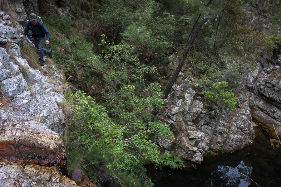
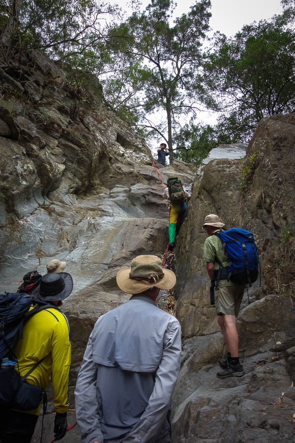
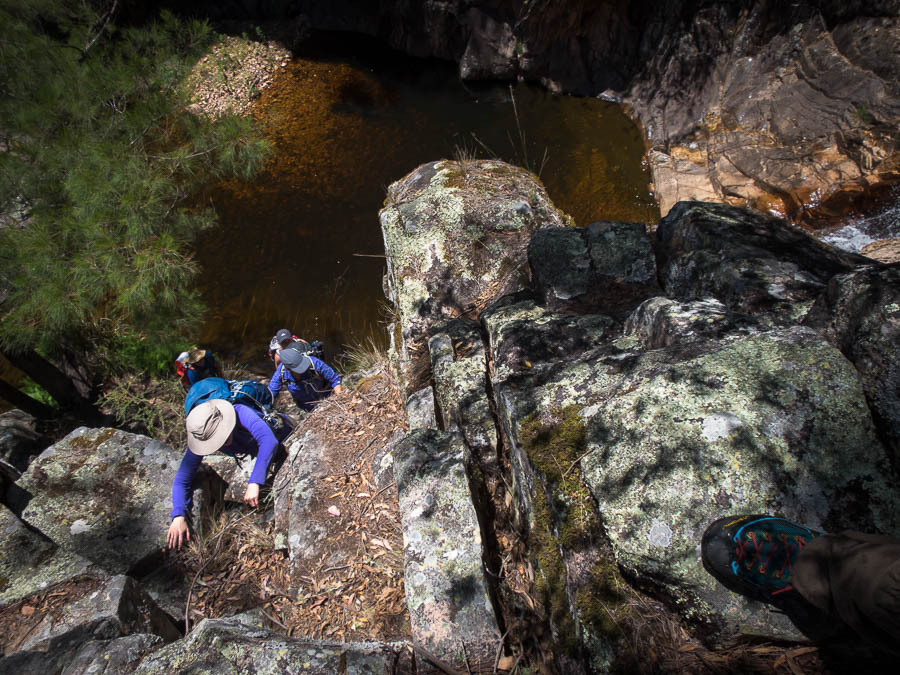
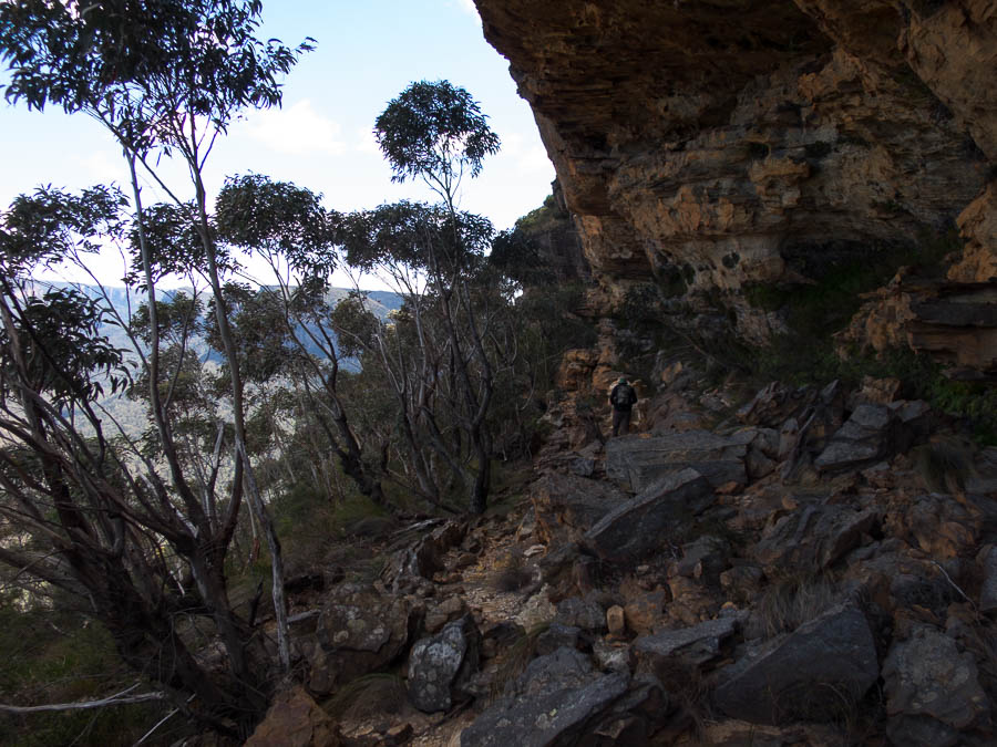
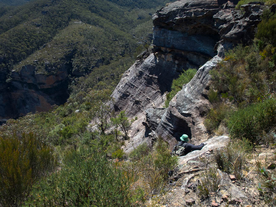
Day 3 dawned grey with a little rain. Not the ideal conditions for our traverse above the “pool of impending doom”. Fortunately the rain didn’t last and the rock was pretty dry by the time we got there. I quickly scooted over and dumped my pack and came back to offer assistance to those who wanted it. I was pretty happy when we were all across, except Alex who we’d left at camp still making tea. When he arrived and asked what we were doing about pack-hauling I could happily say we were already sorted.
Tom traversing above the “Pool of Impending Doom”
Steve looking very casual
Patrick traversing above the “Pool of Impending Doom”
And why didn’t you jump from here yesterday Tom!?
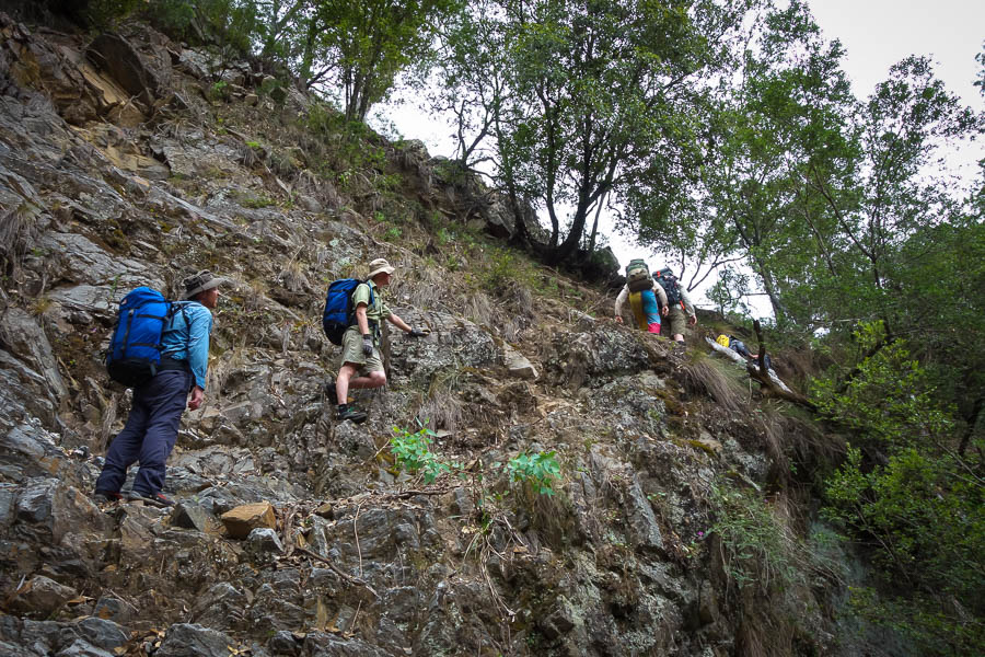
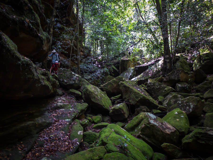
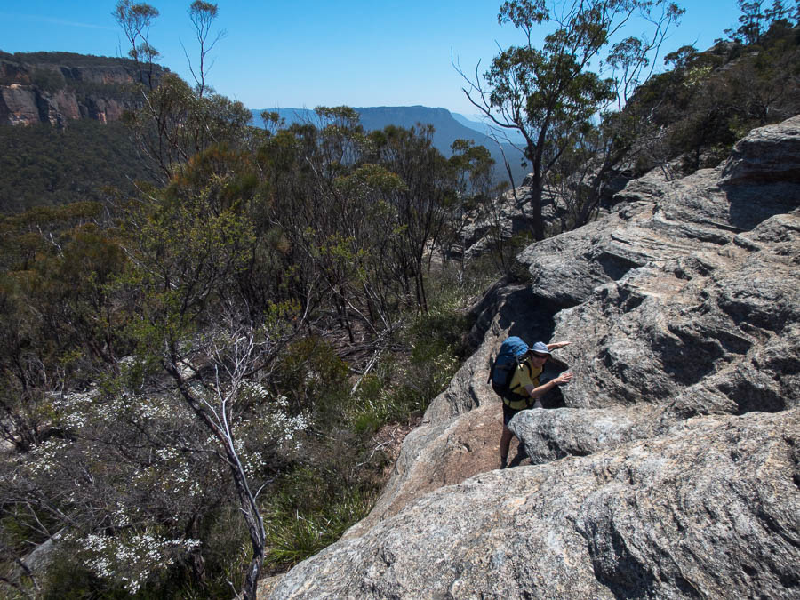
The ascent of Myall Creek was a pleasant combination of rock-hopping, slab climbing and the occasional trickier section.
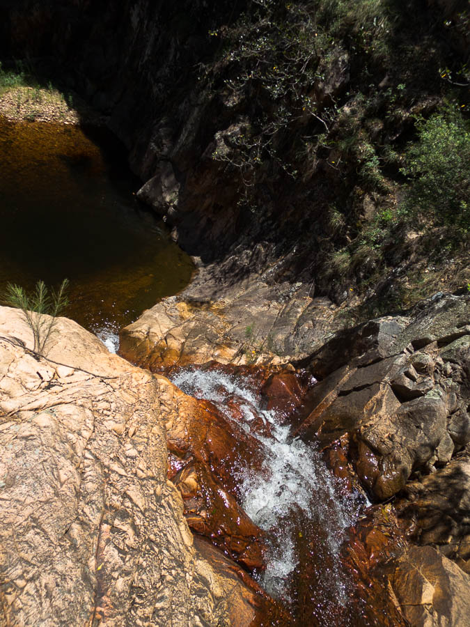
Alex and “The Pool of Death”
Tom and “The Pool of Death”
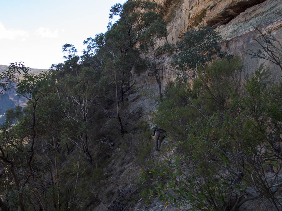
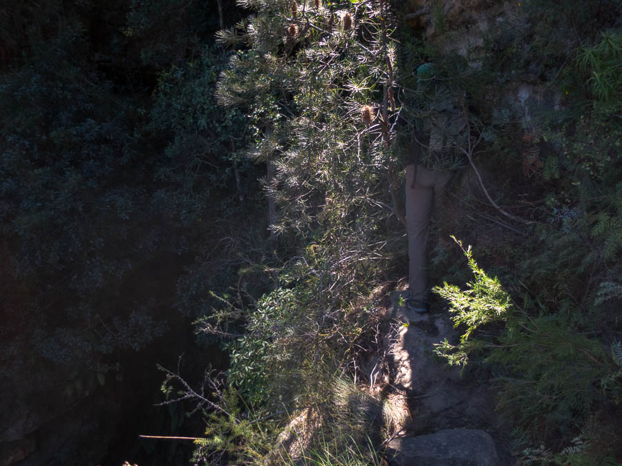
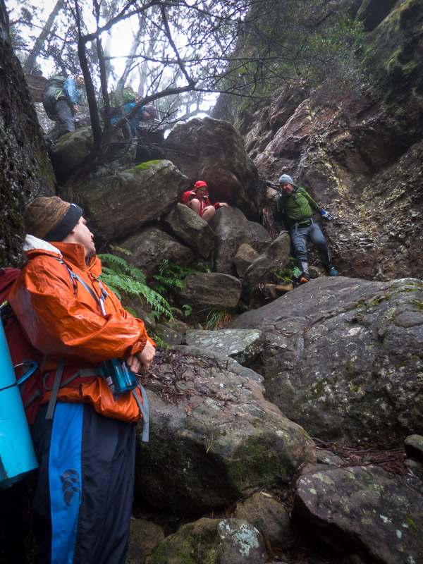
Scrambling up Myall Creek
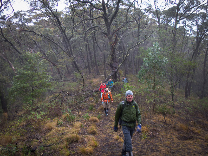
More scrambling up Myall Creek
And more scrambling up Myall Creek
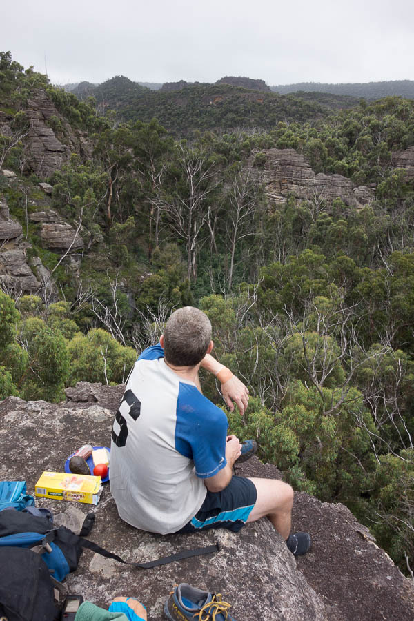
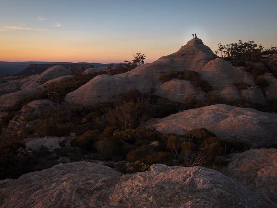
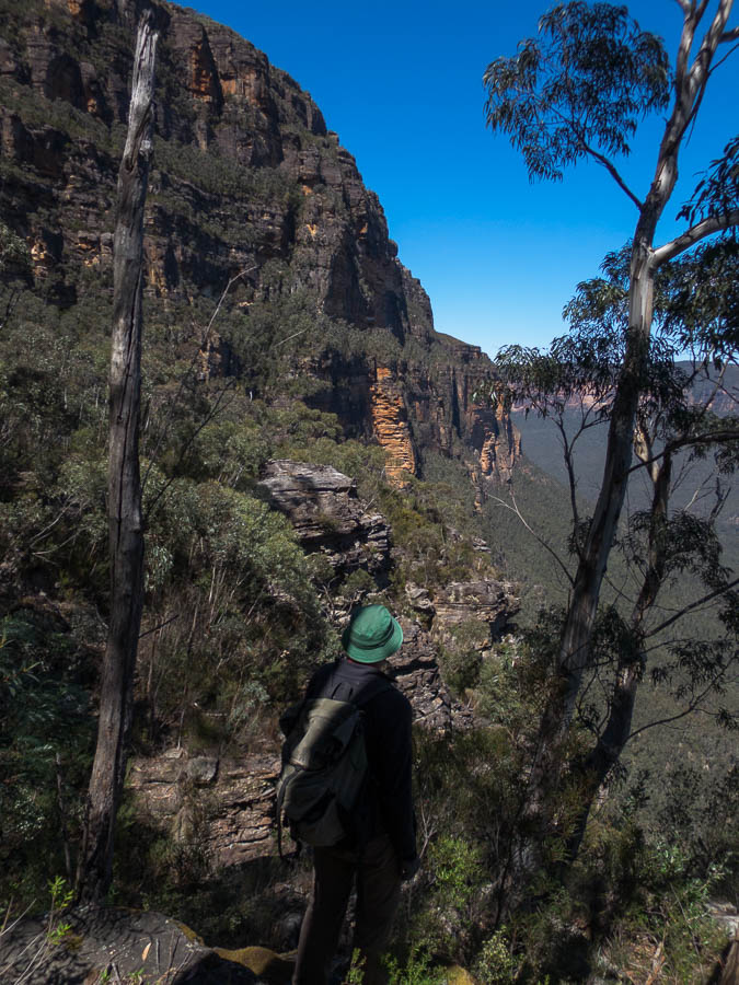
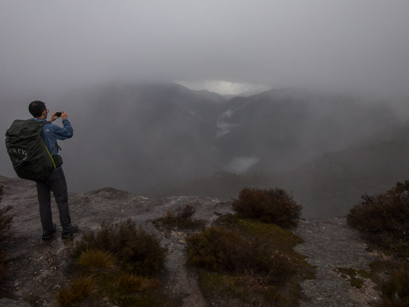
Tom checking out the views
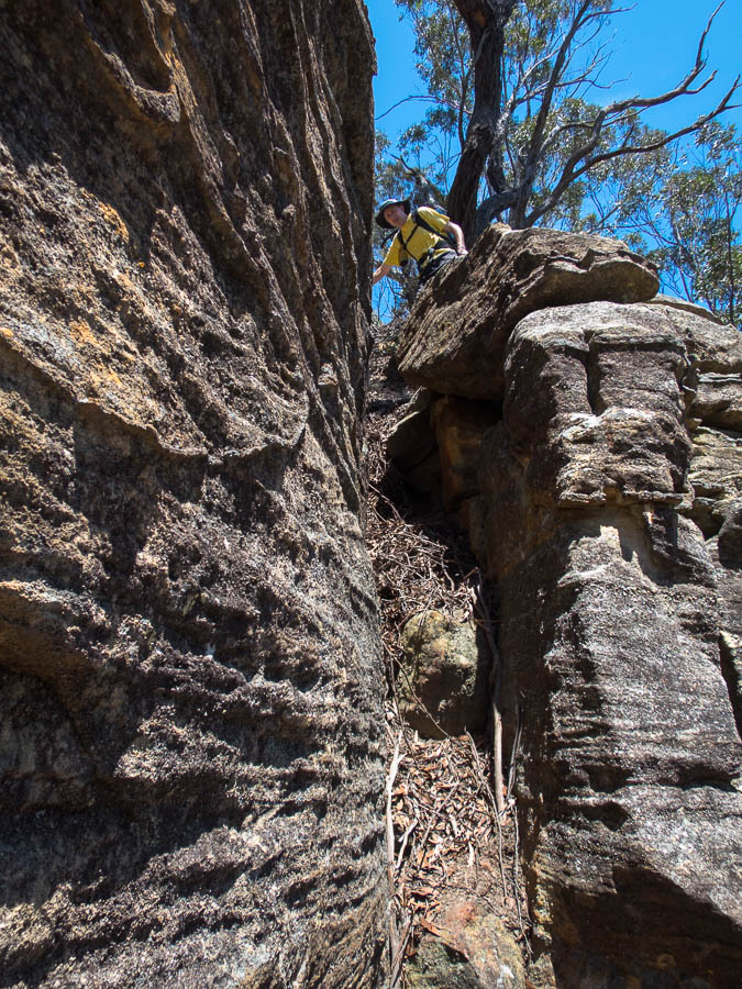
Alex at probably the trickiest point in Myall Creek

Sierra using a hand line to get up
A final swim in Myall Creek
Some decided to sleep instead
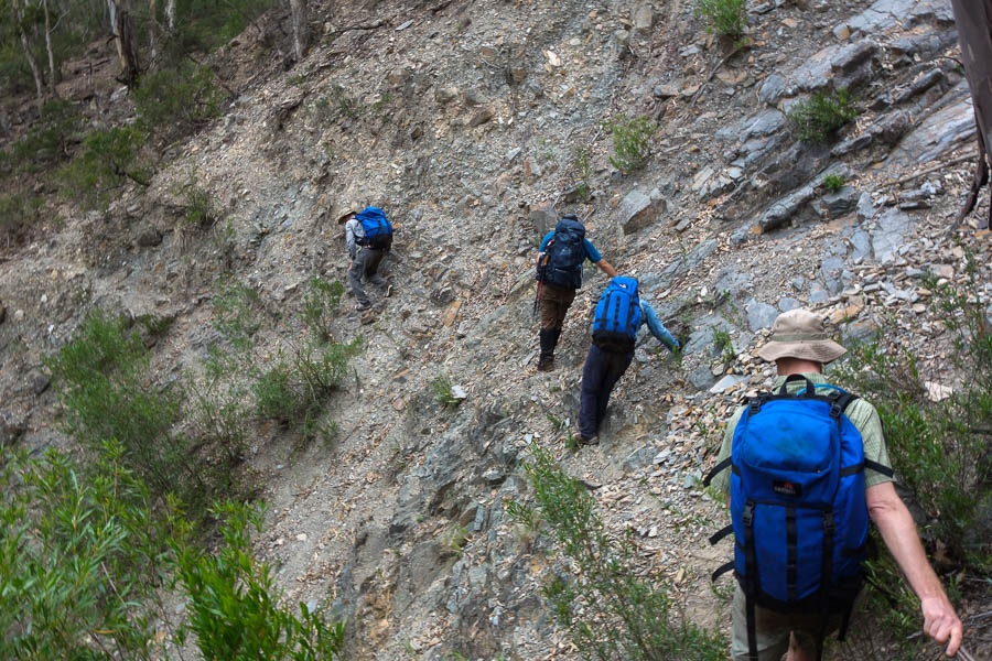
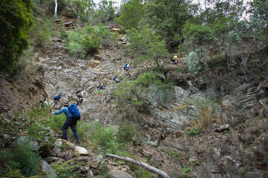
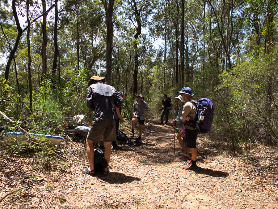
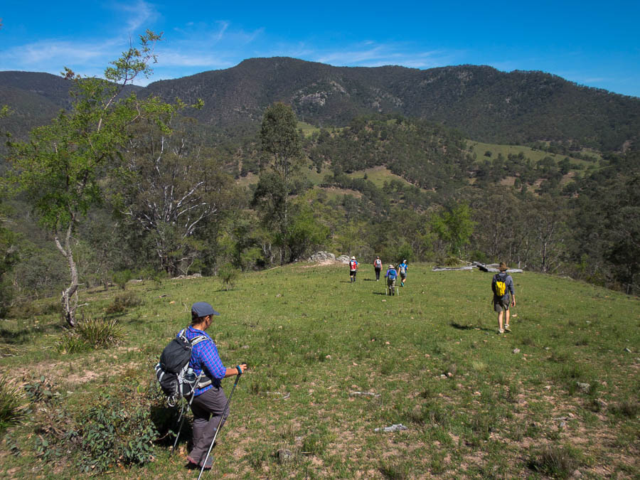
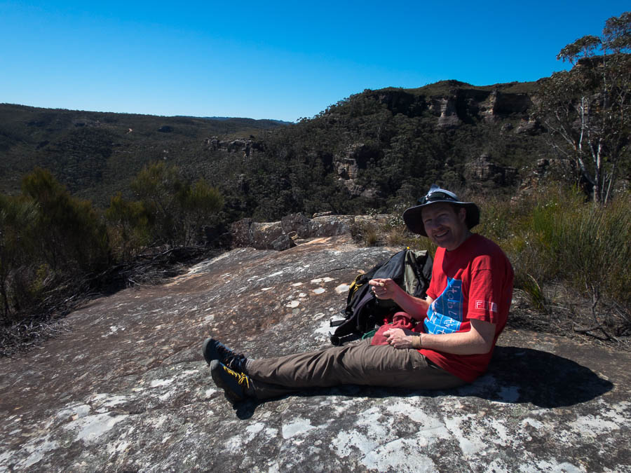
Despite having swims and several breaks we made good time. We had lunch in a side creek before the final ascent on to the tops, through the mandatory section of scrub, and then back to the car. A great way to spend a hot weekend.
And so endeth another great adventure


