
Wangapeka Track (16-21 Dec 2019)
It had been a while since we’d done a multi-day walk, but once you’ve done a few the food planning comes pretty naturally. NZ provides some challenge in that we couldn’t bring home-dehydrated meals which had any meat in them. Tom had whipped up a delicious Moroccan vegetable stew which Customs let in.
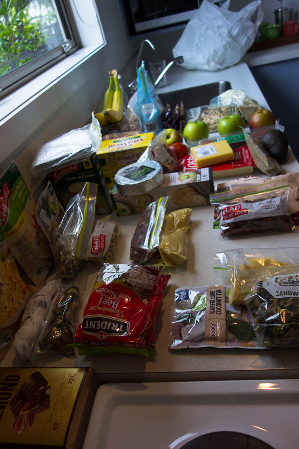
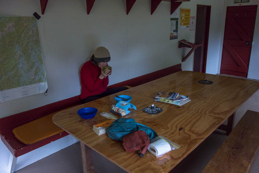
The usual preparation
We walked the Wangapeka Track from West to East. This meant we had a 4 hour drive to get dropped off at the Little Wanganui end of the track. We were somewhat nervous as there was a fair bit of rain forecast and there are a lot of creek and river crossings to be negotiated. We didn’t really want to walk back out to the West and have to repeat the 4 hour drive.
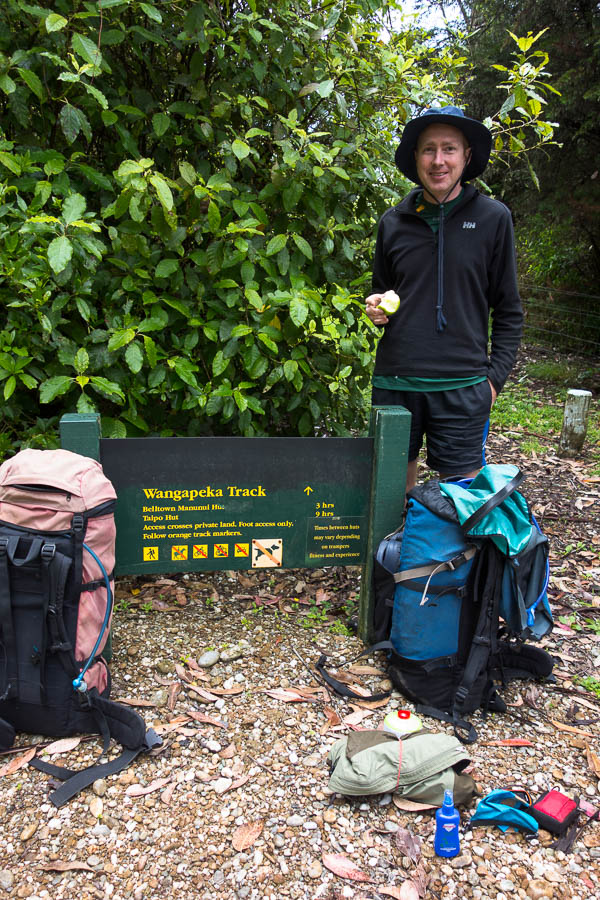
The unassuming Little Wanganui track end of the Wangapeka Track
Day 1 took us to Belltown-Mananui Hut.
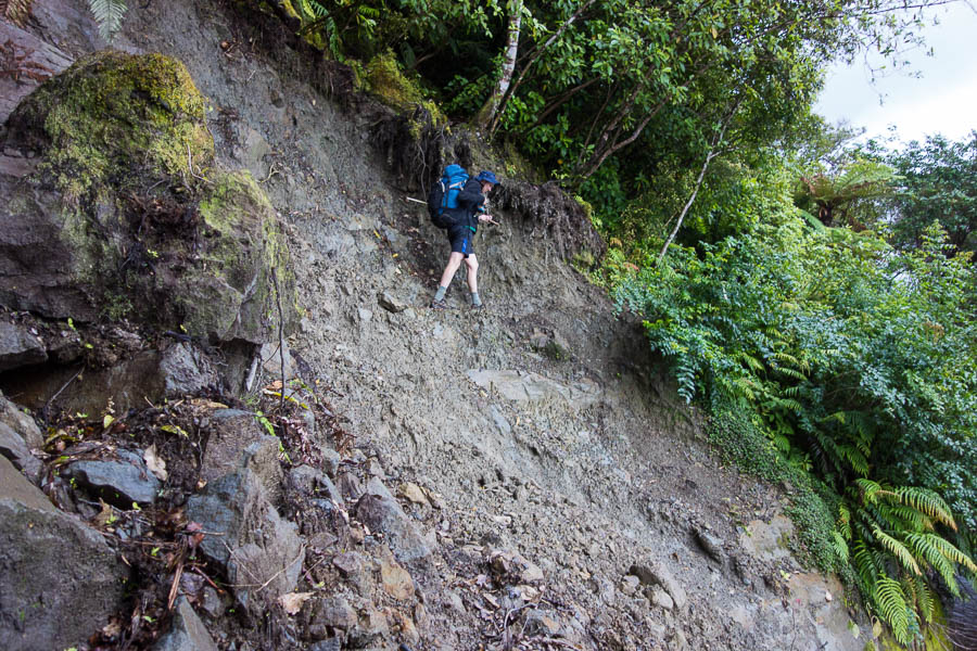
A slip early on day 1
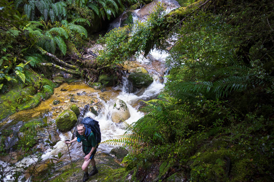
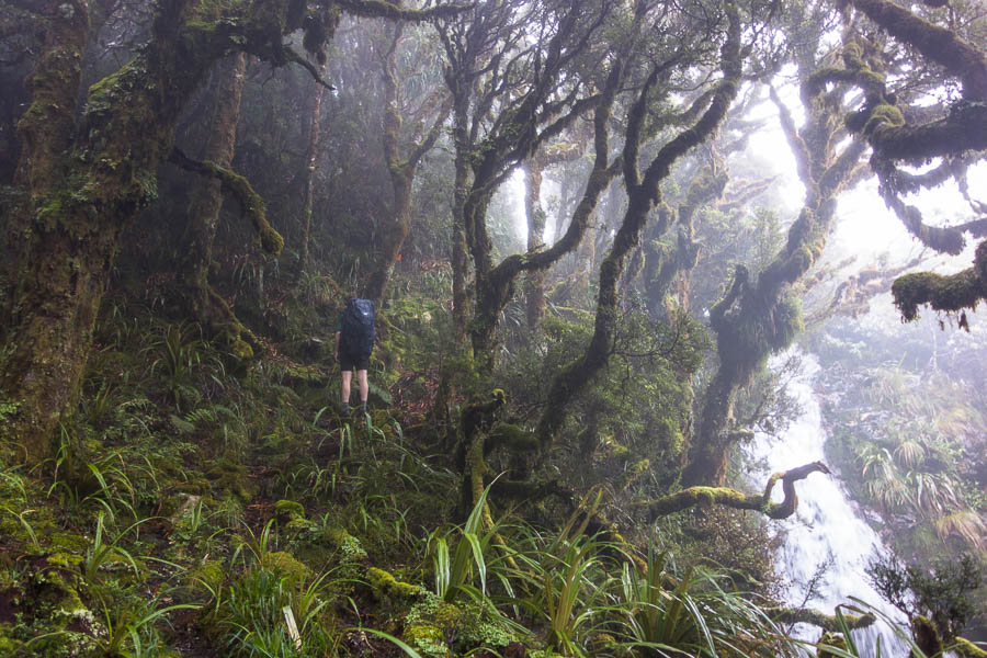
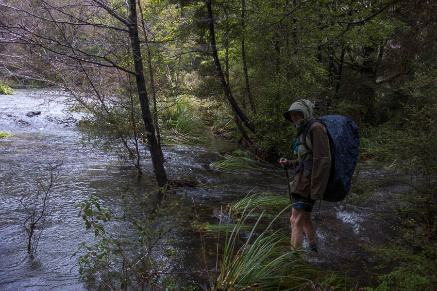
The track was pretty overgrown so we were wet by the time we got to the hut even though the rain wasn’t overly heavy.
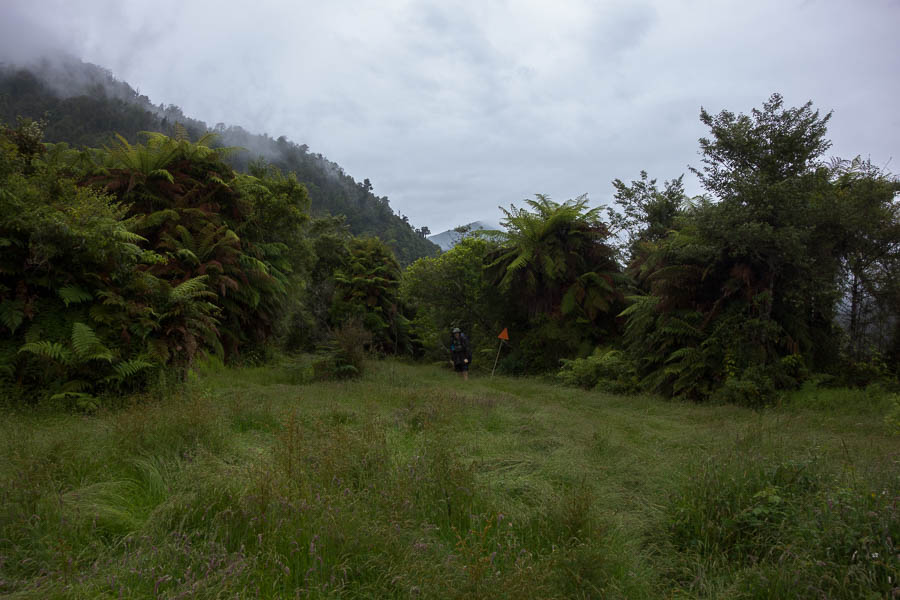
A bit overgrown + rain = wet!
It was a warm night and I was unsure if I had brought the wrong sleeping bag. Unfortunately the hut had mossies in it, so I had a sweaty night hiding in my sleeping bag.
Climbing out of McHarries Creek on Day 2
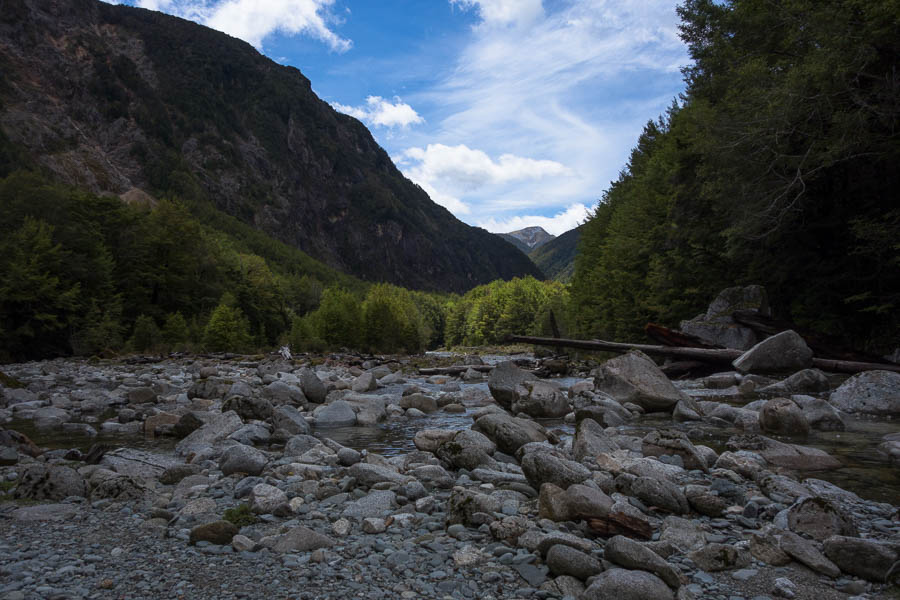
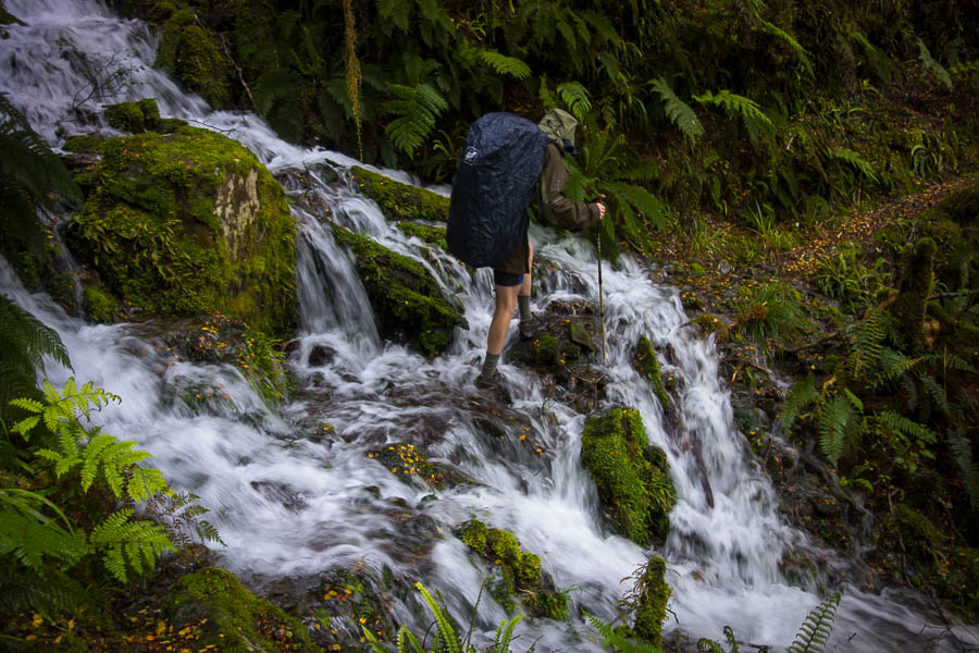
The forecast had been for a clear morning with rain developing so we were walking by 7am (long days meant it was getting light at 5am). This was our longest day – getting to Taipo Hut around 3pm. While there was a reasonable climb up to Little Wanganui Saddle the most challenging part of the day was some of the terrain along the Little Wanganui River which was pretty slow going.
The saddle we’re aiming for. Probably the most visible it will be for us all trip!
Negotiating the slippery track
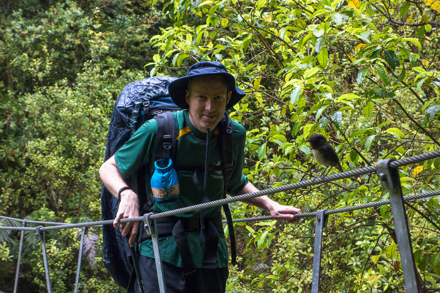
Tom & a South Island robin
The cloud descended suddenly while we were having morning tea at the Wangapeka Bivvy – unfortunately I didn’t take a photo of the view on arrival, and there was nothing but cloud to see by the time we set off again.

Morning tea break on day 2
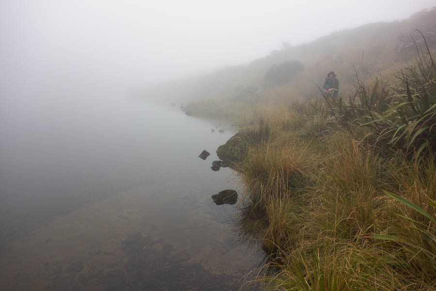
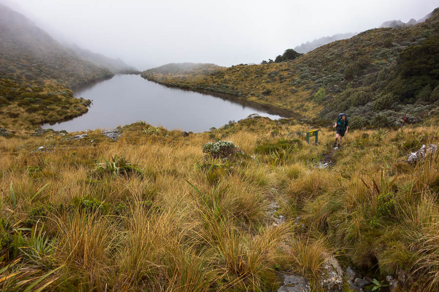
And so we arrived at the saddle (we thought) in thick cloud. I knew there was meant to be some tarns but we couldn’t see anything.
Climbing up to the saddle
I think we might be on the saddle. Can’t really see anything
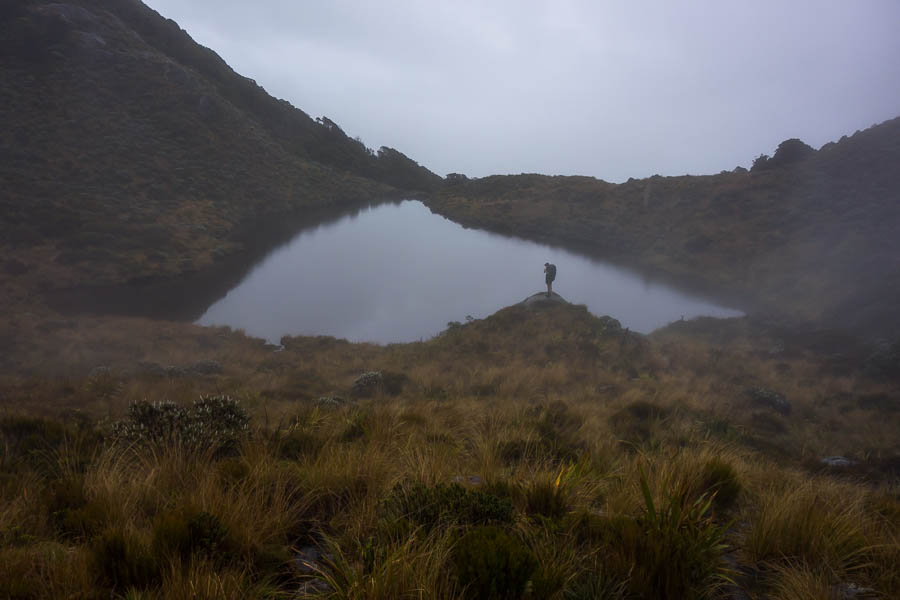
Until suddenly the edge of a lake slowly appeared as I focussed on what I could see through the cloud.
Oh! There’s a lake there.
If Tom hadn’t been dawdling we probably would have missed any views, as suddenly the cloud started lifting.
And suddenly the cloud lifted!
For about 10 minutes we got some views, before abruptly being covered in cloud again.
We can see something
We pushed on to Stag Flat Bivvy for lunch. Glad to be able to get into a dry space to eat.
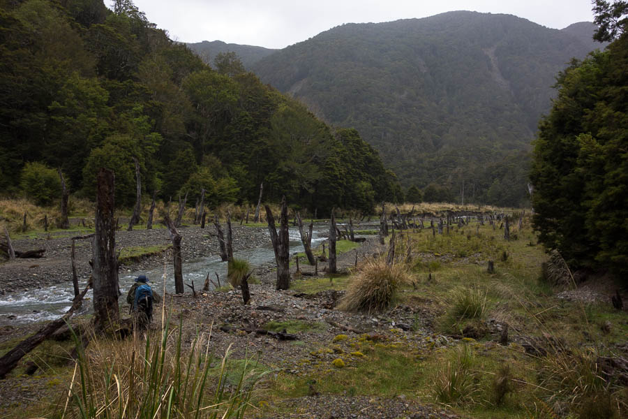
Stag Flat
Before arriving at Taipo Hut at 3pm – at exactly the same time as a Melbourne family walking the track in the opposite direction. The verandah was not very well designed for multiple people getting out of wet gear at the same time. This was the only night we shared a hut in the 5 nights we were out – it was also the largest hut so that was convenient timing.
Taipo Hut – very small verandah when it’s wet
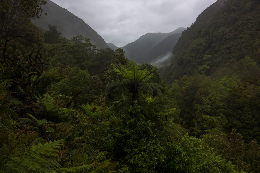
We had hoped to get up onto the tops somewhere in the later part of the trip, but the weather wasn’t really conducive to a high camp. So we headed for Helicopter Flag Hut for night 3.
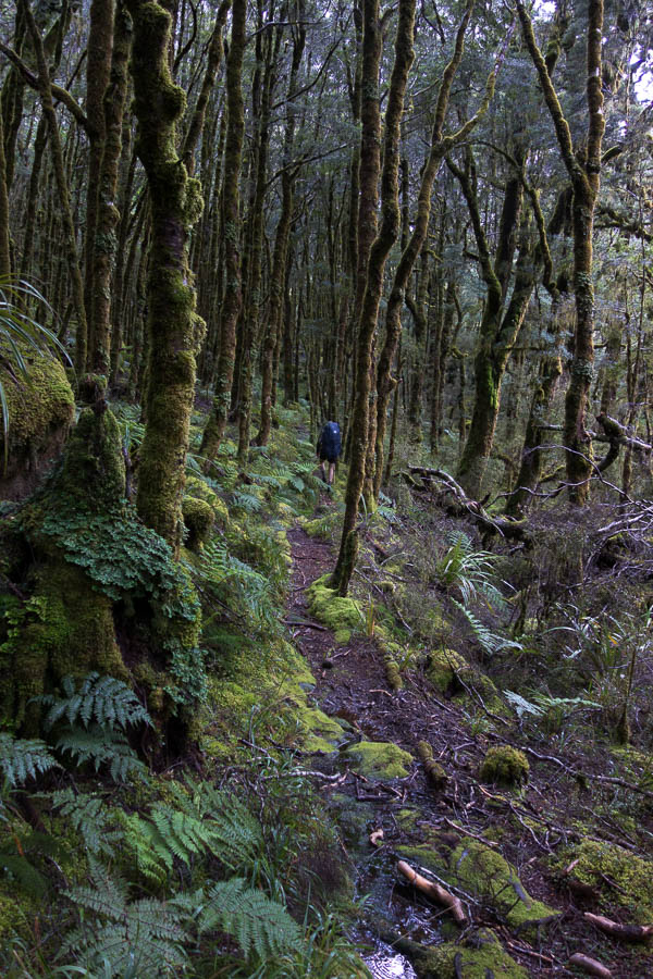
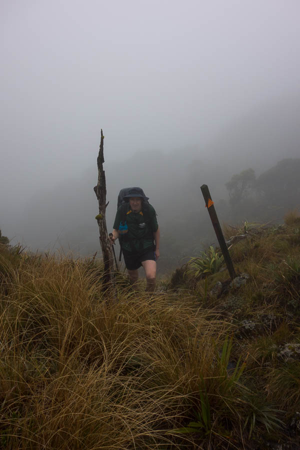
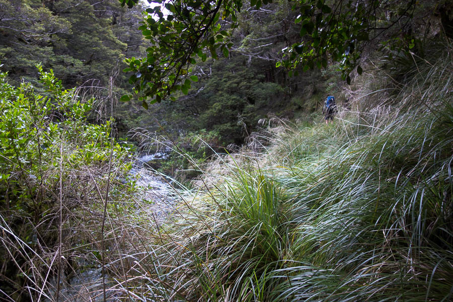
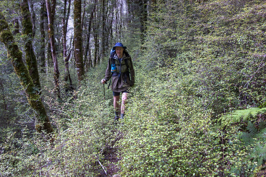
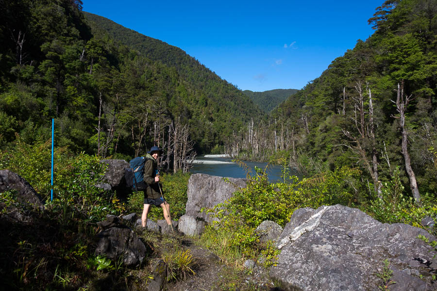
Walking on day 3
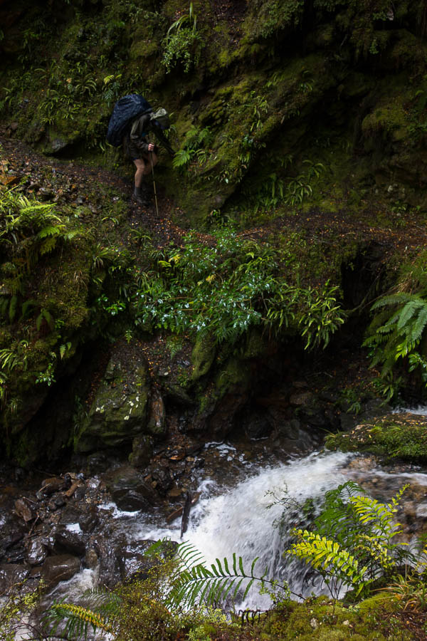
There were a few fixed chains along the track – some sections which would have been dodgy going without them.
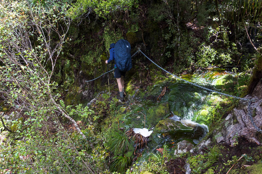
Fixed chains
Tom convinced me we should take detour to see Saxon Falls. It seemed reasonable to expect the Saxon Falls Track might take one near Saxon Falls, but they were illusively out of sight. We settled with our only outdoor lunch of the trip on the river.
Our only lunch outside with some rare blue sky
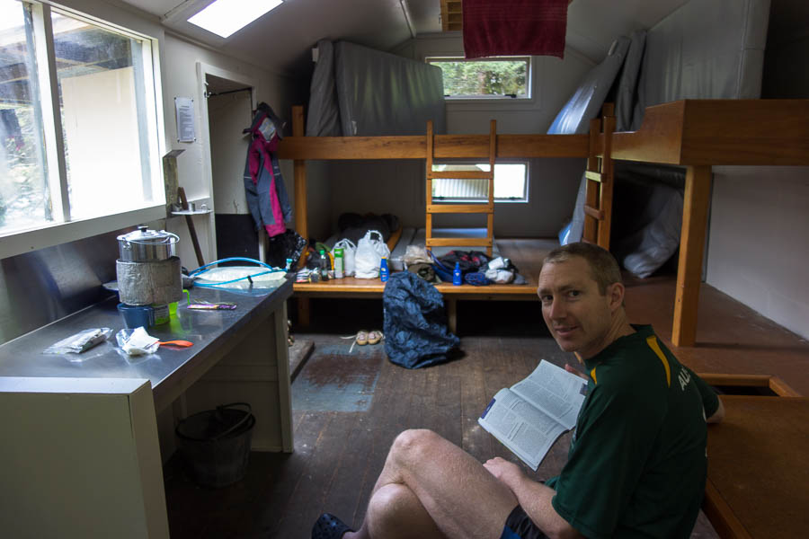
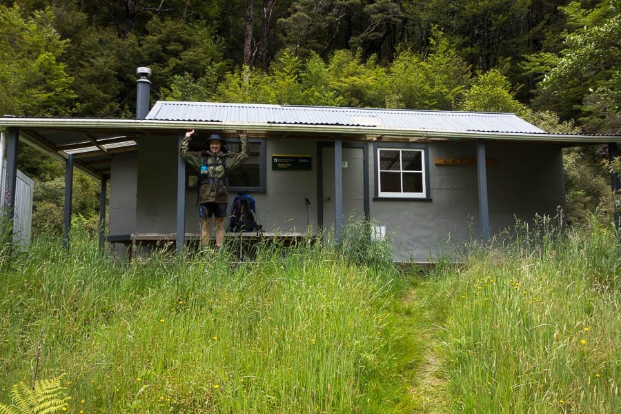
The very cosy Helicopter Flat Hut. Sleeps 10 – glad it was only the 2 of us!

So where’s the track?
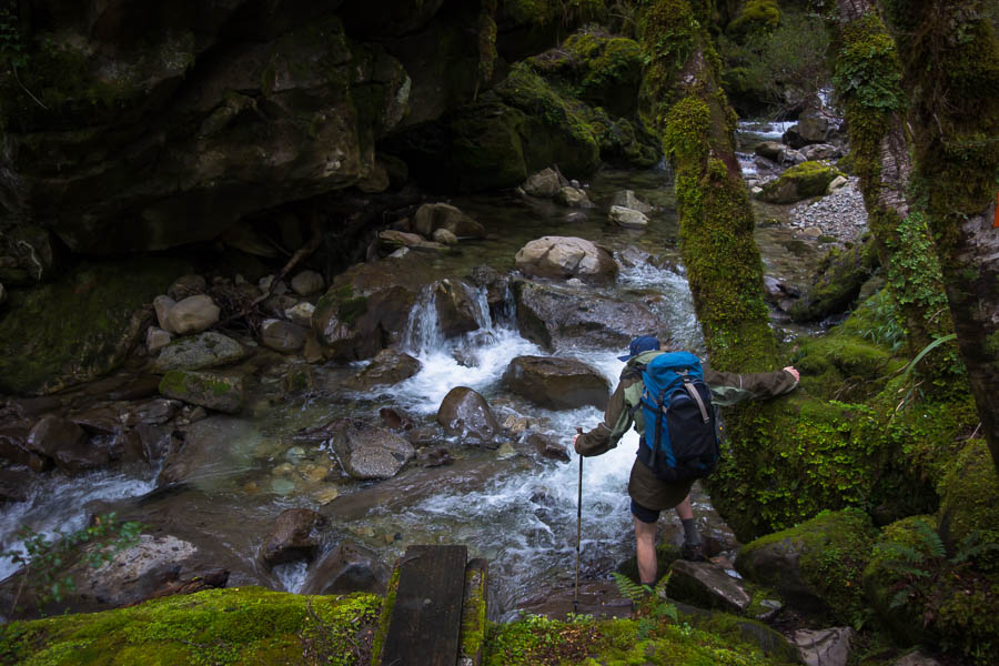
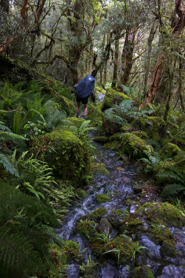
One of many side creek crossings
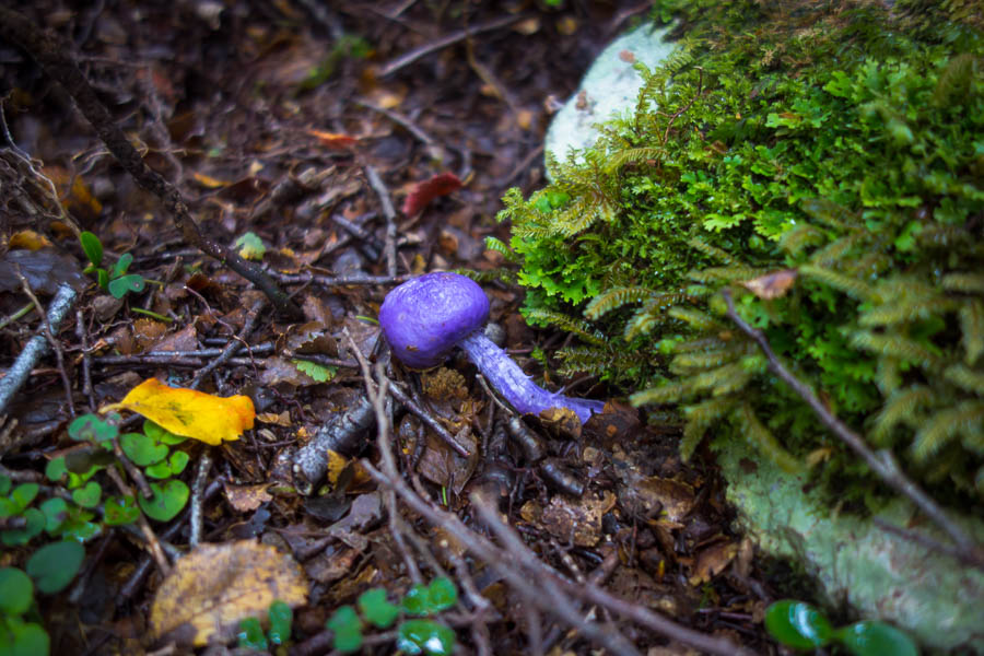
Purple fungus
Where’s the track?
Out of the bush briefly
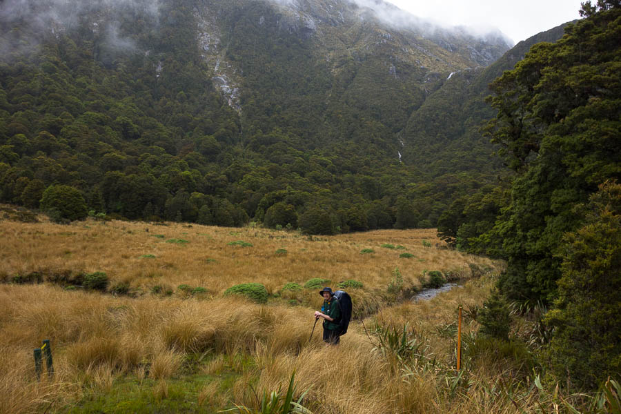
We had morning tea next to the Karamea River where we got our first sightings of the rare Whio. There were 4 – seemed to be parents and 2 adolescents. We were privileged to watch them make their way up stream for about 15 minutes.
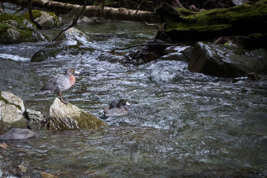
Whio (blue duck)
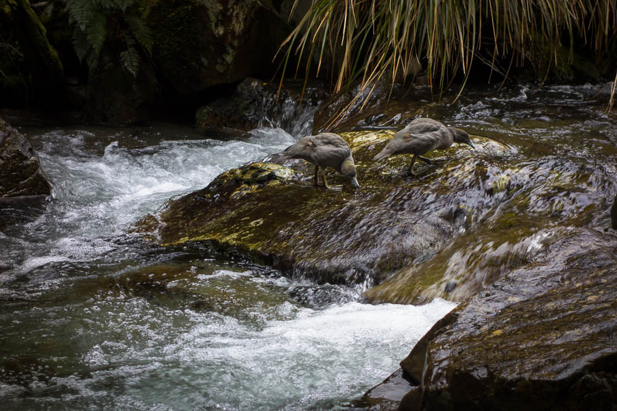
Whio (blue duck)
On our way up towards Wangapeka Saddle I spotted a deer and we followed foot prints along the track for quite a way. Wangapeka Saddle had no views and it was completely tree clad, which made it a pleasant enough lunch spot since there was some escape from the wind.
Beech forest growth
There was plenty of beech forest growth. Possibly a result of a masting event.
Stone Hut
That night it poured with rain. I woke to a large bang and wondered if half the hillside had fallen off. It was only when lighting lit up the hut a couple of seconds later I realised the bang was thunder. It rumbled above us before heading down the valley. We were very snug in the hut – and I was very glad of my warm sleeping bag. After night 1 there had been no issues with being too hot!
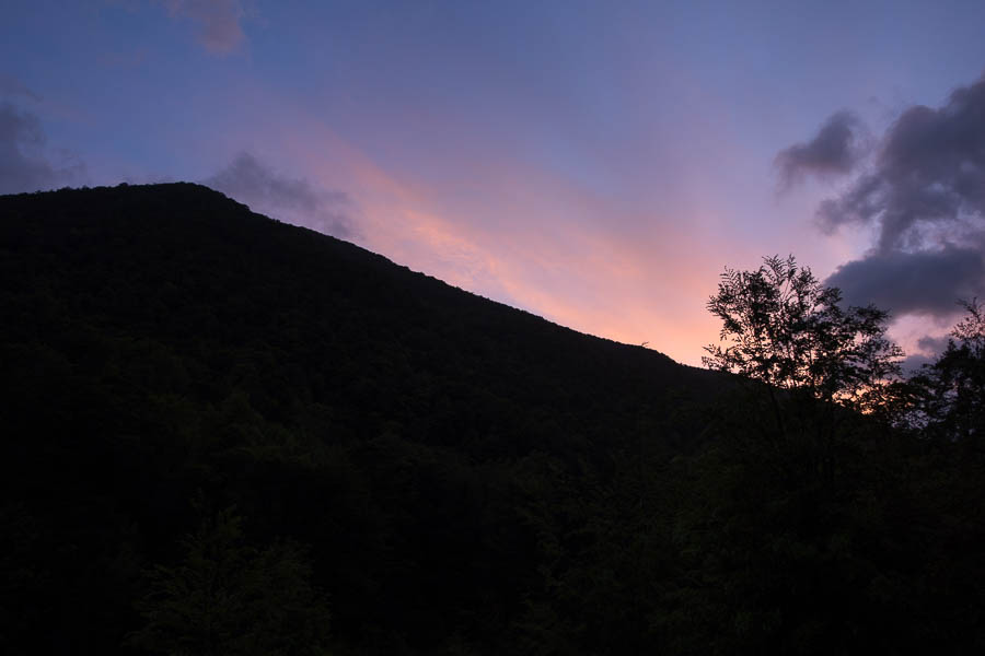
Early morning clear skies after huge storms over night
By early morning the rain had cleared. I almost forced Tom out of bed so we could do a side-trip up Mt Luna. But I figured with the volume of rain overnight, even with the clear day, it was unlikely to be good conditions for a foray up to the tops. As it turned out we may not have even been able to cross the river to get to the Mt Luna track! Instead we slept in, had a leisurely breakfast, and left the hut around 11am.
The result of the overnight storms…
We lost the track fairly early on and found ourselves walking through a flooded creek – fortunately re-finding the track fairly quickly! That said much of the track was flowing.
More side-creek crossings
Track or creek?
How much longer will this section of track last for?
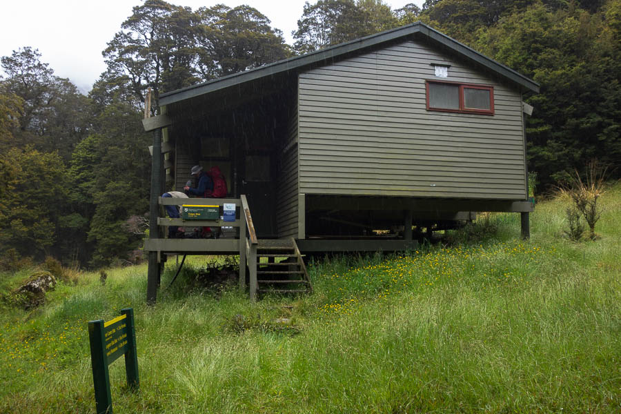
It was only a short section to get to Kings Creek Hut and the day had somewhat cleared by the time we arrived, but I was grateful we didn’t have to go any further.
Kings Creek Hut
Our final day was the only fine one of the trip. It was nice to finally see some views and blue sky.
What’s going on? Finally a blue sky day for our walk out
Mt Patriach – we had hoped to get up on the tops, but weather didn’t cooperate
Our transport provider had advised us shortly before the trip that they didn’t think they would be able to cross the Dart Ford to pick us up. That meant we had an extra 8km walk along the road to meet them. That was the worst 8km of the trip – neither of us big fans of road walking and my new boots didn’t agree with at all. Fortunately we were able to cross the Dart Ford, and we did see a Pajero get across – but anything less powerful would have struggled. From there it was a 1.5 hour drive back to Nelson for a shower and dry feet!
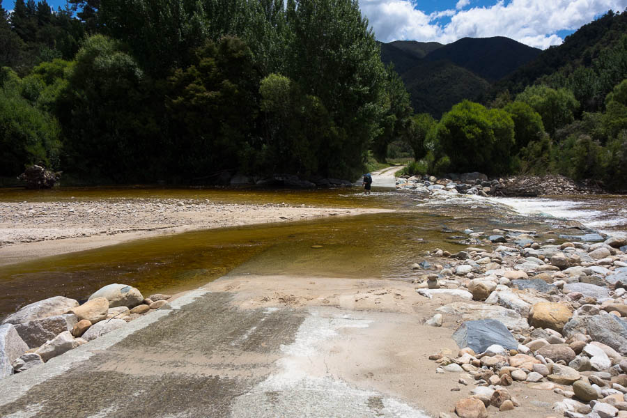
Crossing the Dart Ford to meet our transport
Despite the weather I enjoyed the trip. It had a really remote feel to it – no doubt aided by us only seeing 2 other groups on the track.