
Day 2: Perth - Galena Bridge Rest Area (570km) (Day 1 was spent buying supplies & staying with relations in Perth)
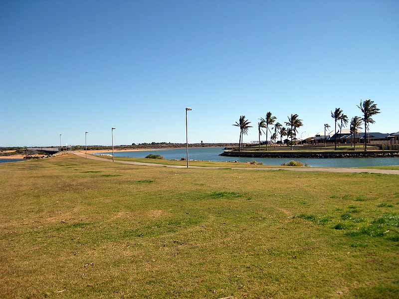
Day 3: Windy Carnarvon lunchstop

Day 3: Tom checking in on the iphone in Carnarvon. We had been lent the iphone under strict instructions of keeping family updated with our plans. The iphone was with Telstra - there is very little mobile coverage in general and basically none if you're not with Telstra.
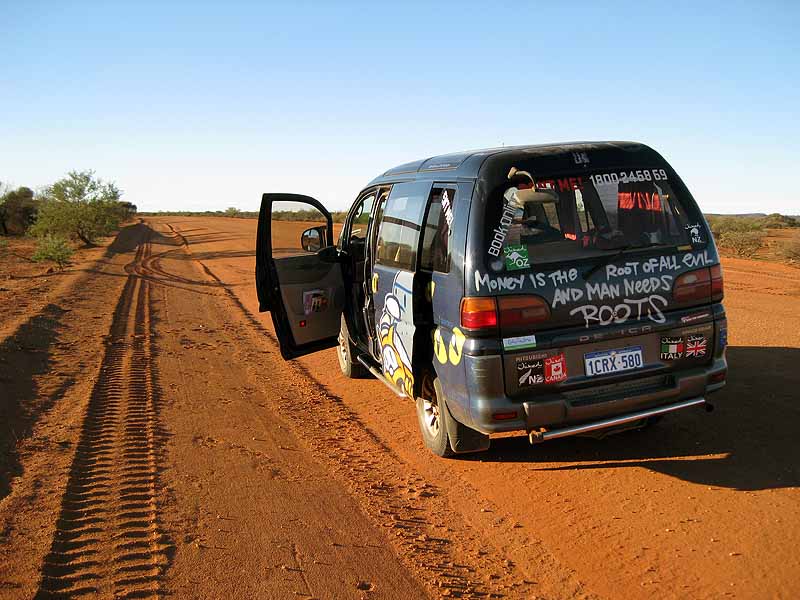
Day 3: Driving to Kennedy Range - the van - while Tom is taking photos. We hired a van from Wicked - you don't get a choice of what is on the back.
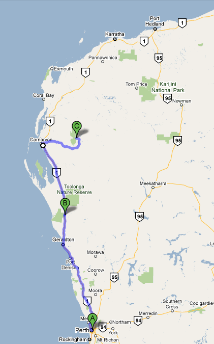
Day 3: Galena Bridge to Kennedy Range National Park (620km)
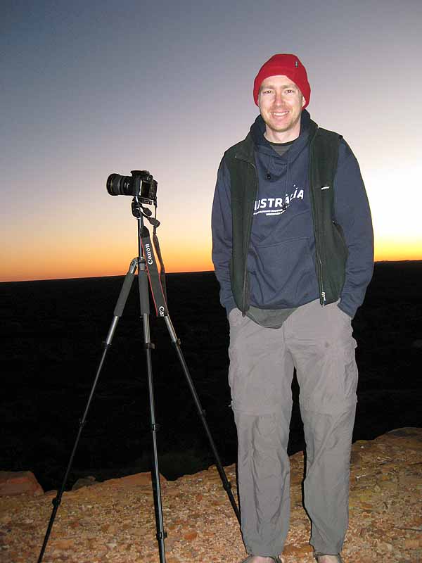
Day 4: The keen photographer taking a break from photographing pre-sunrise at "Sunrise Lookout", Kennedy Range National Park
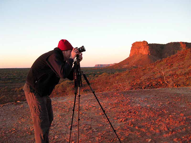
Day 4: The keen photographer at work
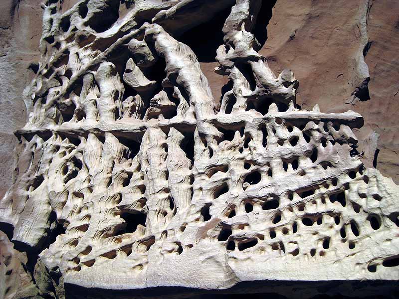
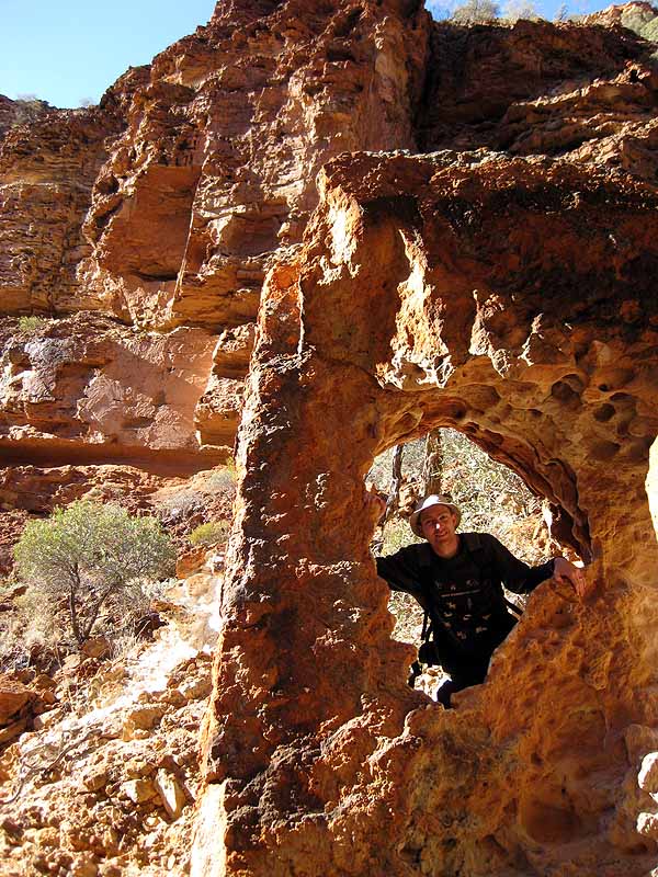
Day 4: Honeycomb Gorge (named for obvious reasons)

Day 4: Tom at Honeycomb Gorge
Day 4: Tom at Honeycomb Gorge
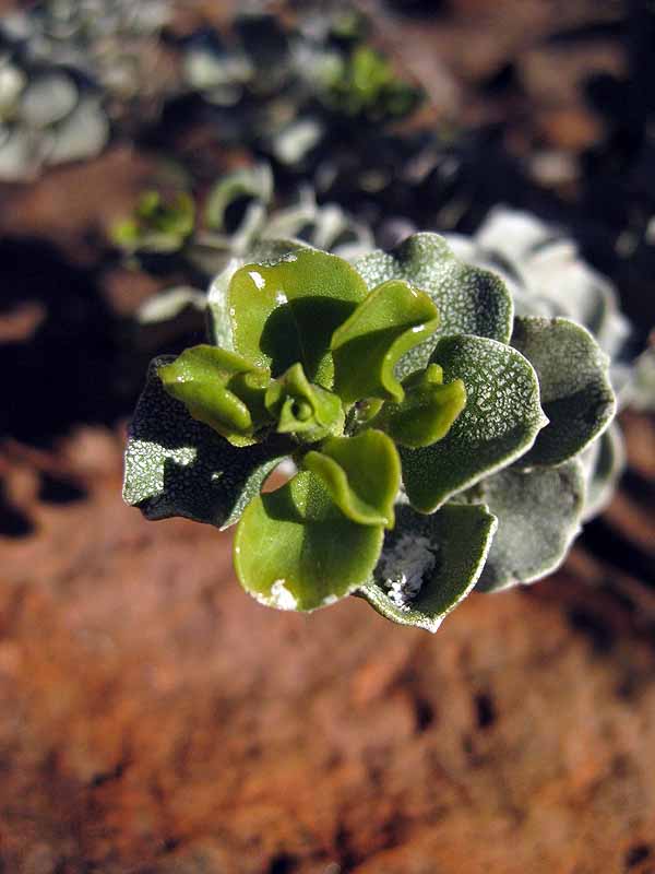
Plant
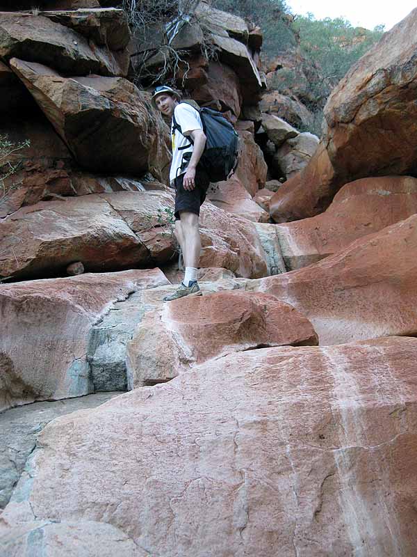
Day 4: Tom in Temple Gorge
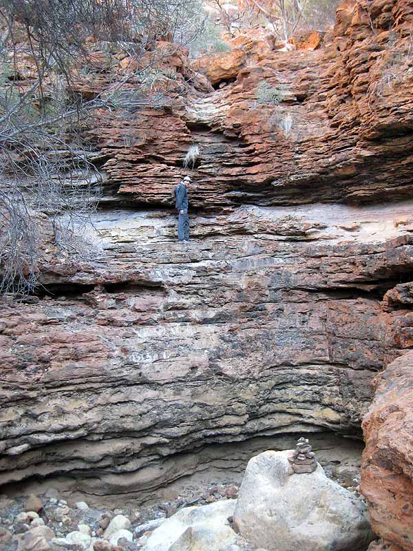
Day 4: Tom in Temple Gorge
Day 4: Tom in Temple Gorge
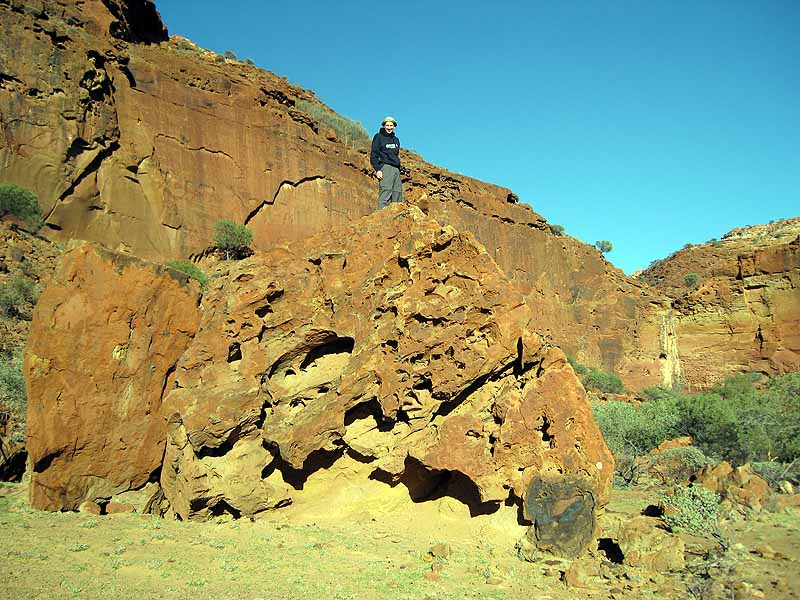
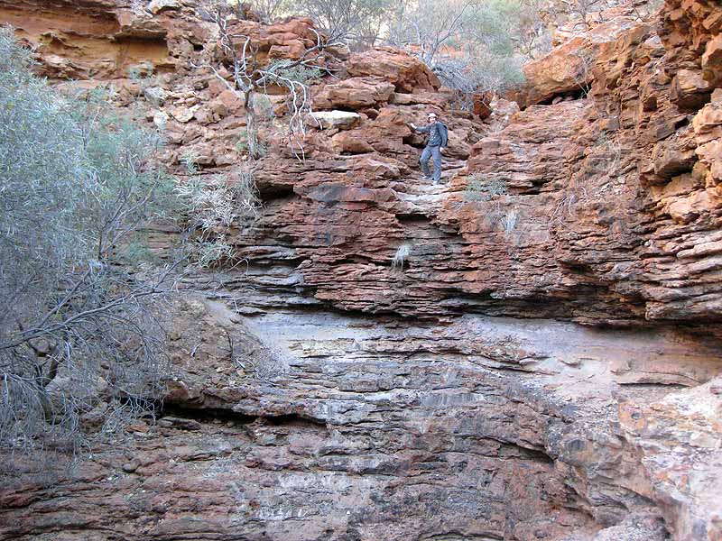
Day 4: Tom at the top of the escarpment

Day 4: Tom in Draper's Gorge
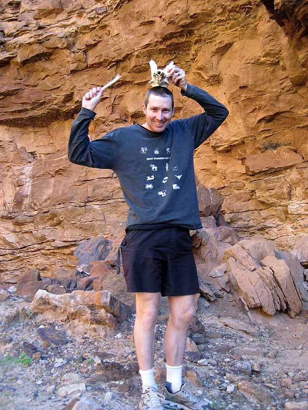
Day 4: We found some animal bones...
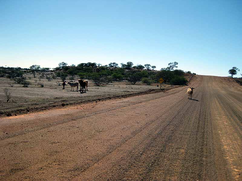
Day 5: Overall we did more than 1000km of driving on dirt. Whether we were on dirt or bituman there were frequent sightings of cattle/sheep/goats roaming next to or across the road.
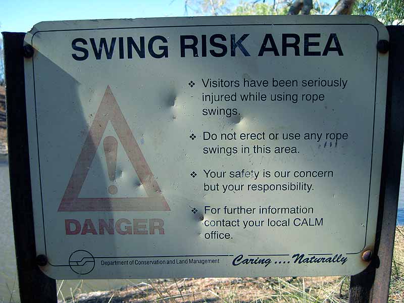
Day 5: One of the many "risk area" signs we encountered. This one is at Goolinee-Cattle Pool just a few kms from Mt Augustus
Day 5: Tom contemplating a rope swing
Day 5: Tom in Kotka Gorge, Mt Augustus NP

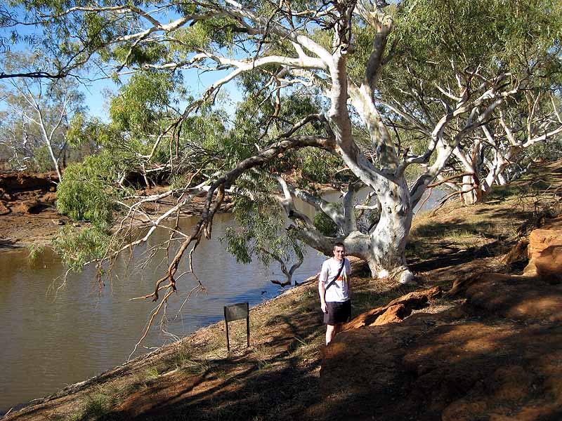
Day 5: Tom on the Gum Grove Trail, Mt Augustus NP
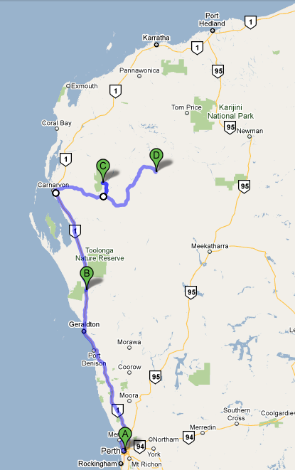
Day 5: Kennedy Range NP - Mt Augustus NP (372km all on dirt)

Day 6: We drove a reasonable part of the "Kingsford Smith Mail Run"

Day 6: Mt Augustus is the biggest monolith in the world (bigger than the much more famous second biggest monolith Uluru). It is perhaps less impressive than Uluru because it is vegetated and so big that it is harder to get a good photo of the whole thing.

Day 6: Mt Augustus at sunrise
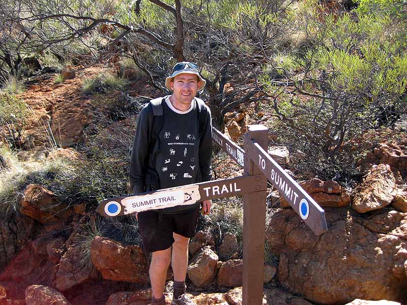
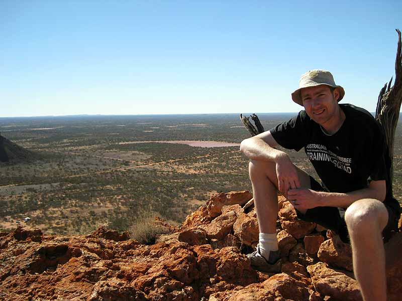
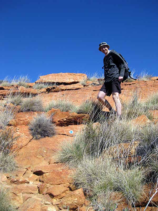
Day 6: Tom at the junction of the gully trail and the summit trail for Mt Augustus. We climbed to the summit which was a 12km return walk with ~650m vertical.
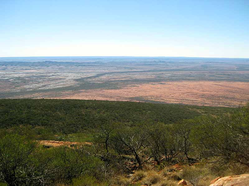
Day 6: view from summit of Mt Augustus
Day 6: Tom with other walkers at the summit

Day 6: Tom on the true summit :)
Day 6: Tom descending Mt Augustus
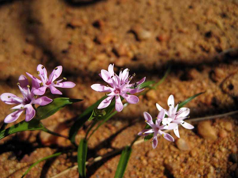
Day 6: pretty flowers
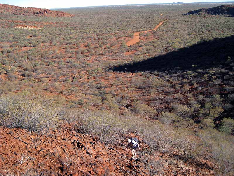
Day 6: Tom climbing the Pound Saddle, Mt Augustus NP
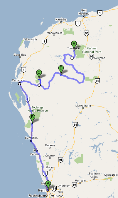
Day 7: Mt Augustus - Tom Price (514km on dirt until we hit the highway just before Paraburdoo) The map here is a little misleading as we took a more direct route than the one shown - however google didn't have the road we took in existence!). This was the only official 4WD track we used - it was ok for 2WD but it was very slow going - our average speed was probably about 40km/h and we left Mt Augustus at 8am and didn't get to Tom Price till 5:30pm. Our longest/hardest day of driving.
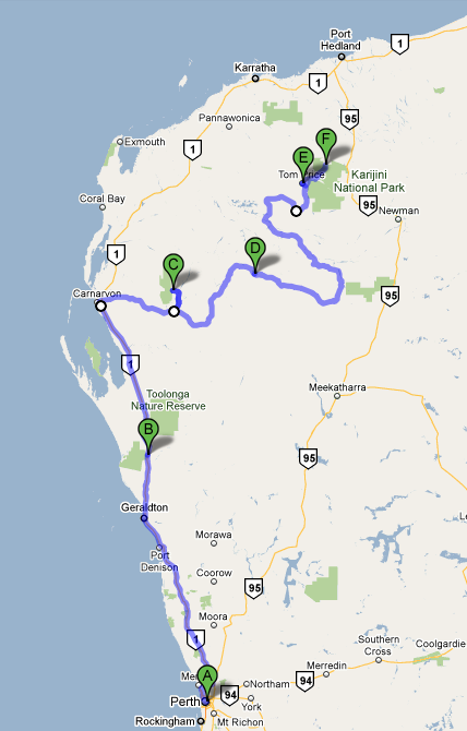
Day 8: Tom Price to Karijini National Park (Western End) As the previous day's driving has been so long and it has been pouring with rain when we arrived in Tom Price we had elected to stay the night. We did a shop and then headed out to Karijini - the primary purpose of our trip.