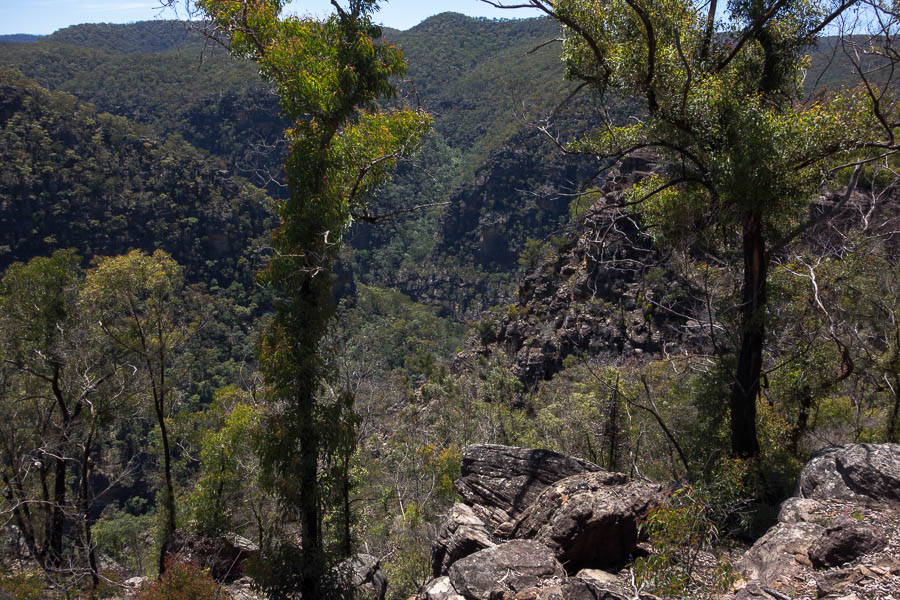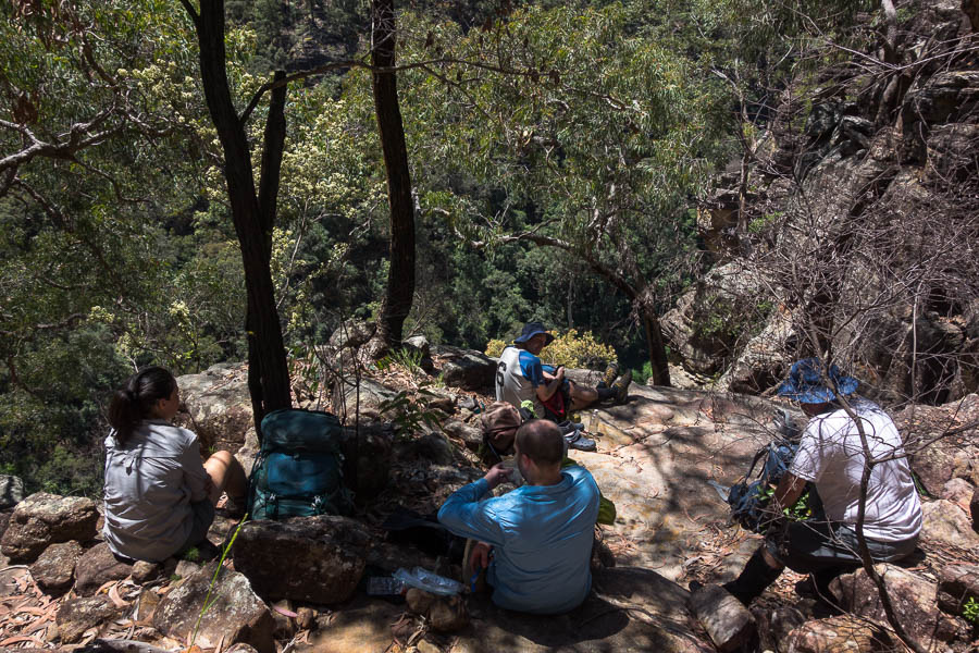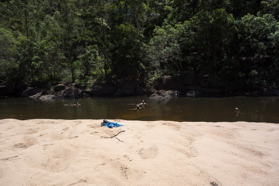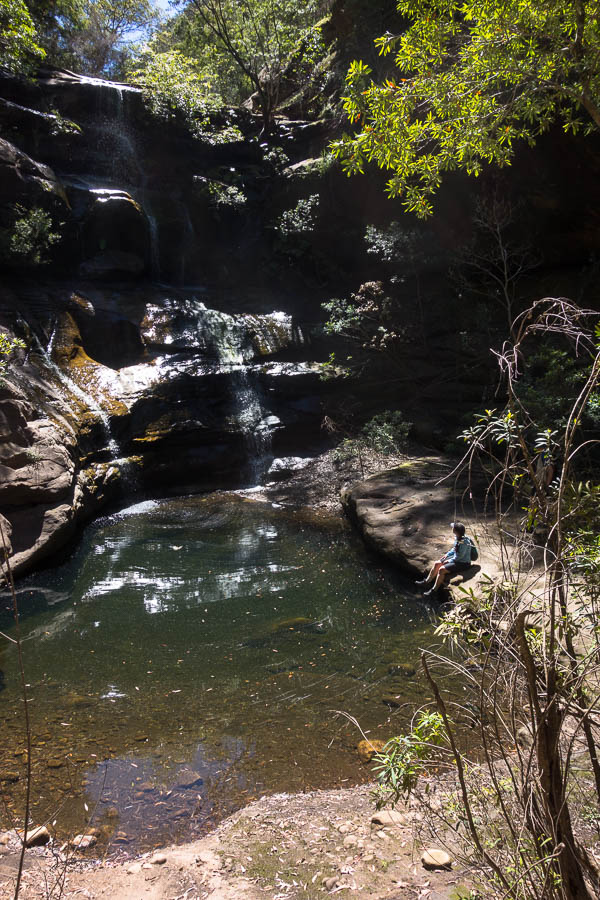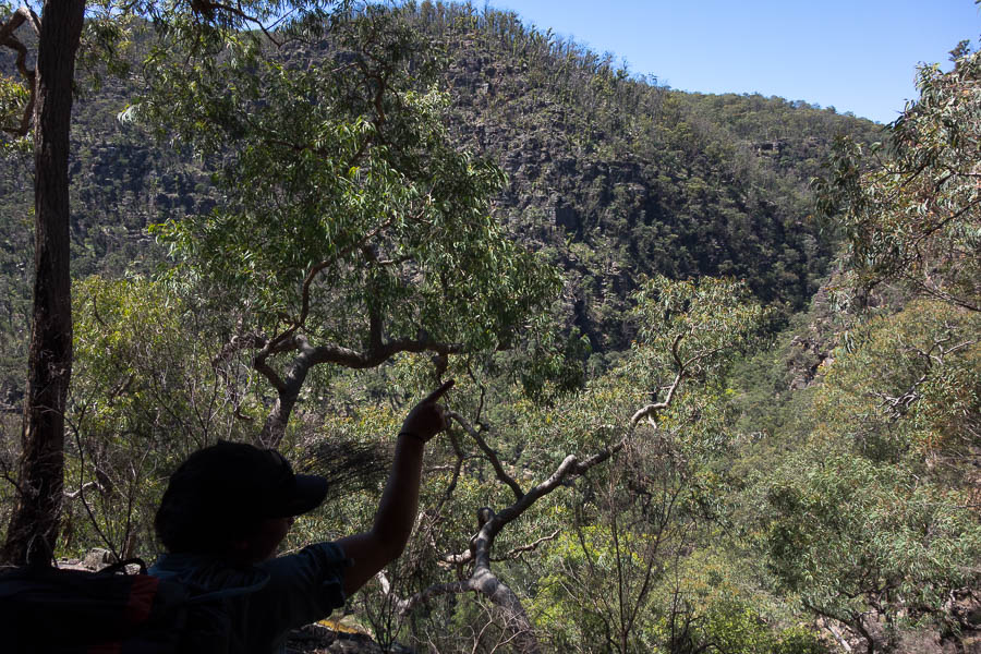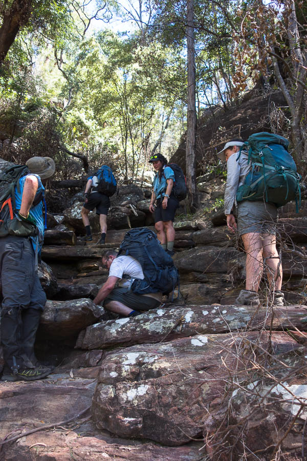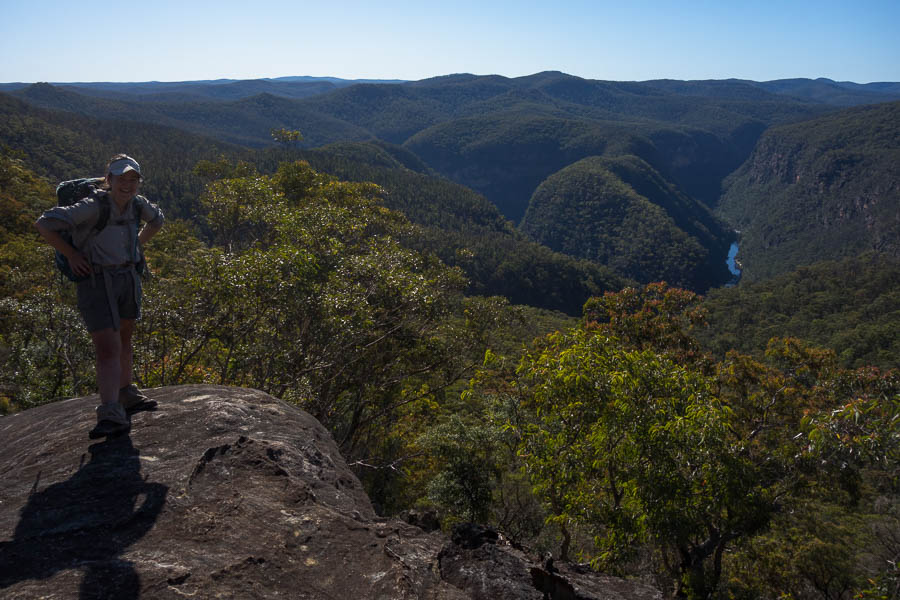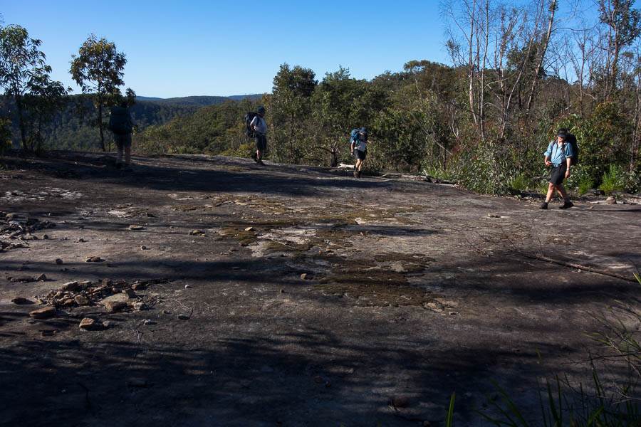
Category Archives: Bushwalking

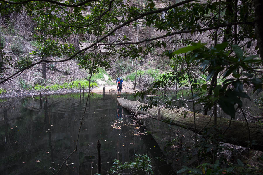
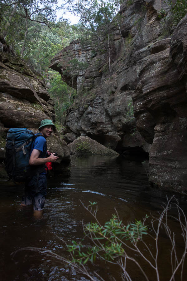
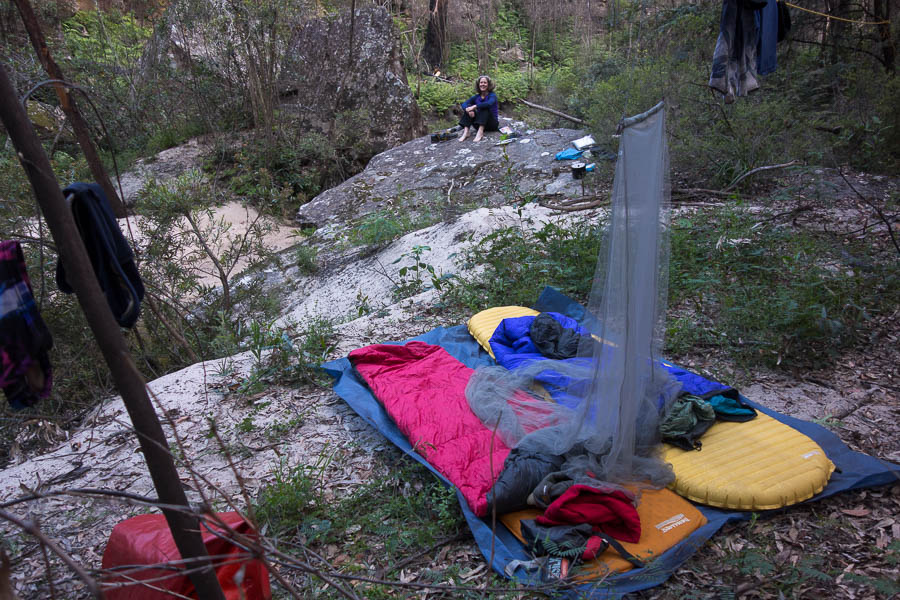
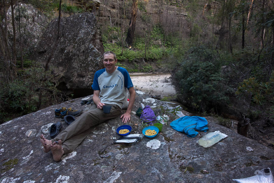
Yalwal the first (1-2 May 2021)

As usual there was a mad scramble to pull together some walks for the program as I was putting out the draft. I’d been looking at walks out of Yalwal for a while and now that it was back open (council must have decided the dam wasn’t that dangerous after all?) it seemed time to go. The regrowth from the fires was somewhat of a concern – but I figured it couldn’t (yet) be worse than Morton pre-fires!!

Initially I was just going to follow the route from Ron Doughton’s book. But after reading the instructions for day 2, that involved following the 200m contour on an old track, I decided perhaps a revised route might be in order.

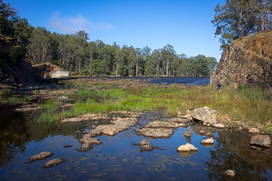
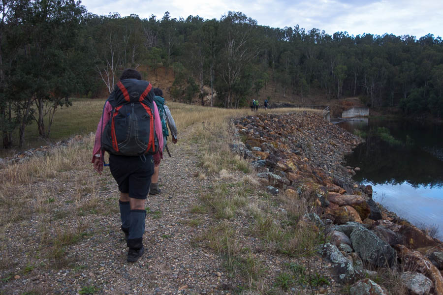
No one in the party had been to Yalwal before so it was an exploratory experience for all. The council signs threatened locked gates at 5pm each day, so I thought it best to park outside the gate just in case we were a bit late getting out on Sunday. The spillway from Danjera Dam was spilling and the party had a variety of approaches. Some waded through with no thought to immediate wet feet, others went barefoot, and a couple took a considerable detour to try and stay dry.

Tom going to great lengths to keep his feet dry at the start of the trip

Easiest walking all weekend!

After crossing the dam we were straight into the ascent. It wasn’t long before we encountered some regrowth that slowed the pace. Eventually we got through that and attained the spur onto the plateau where we had morning tea. Peter and Alex launched into a discussion of tidal moon locks from two weeks earlier as if it had never ended.

Morning Tea. I believe the discussion is the tidal lock of the moon (don’t ask)

From there we hugged the eastern edge of the plateau and got our “Fine occasional views”. I decided the rocky nose we could see in the distance would be our lunch spot – it looked a fair way but based on the map it couldn’t actually be that far. And so lunch was had at a very reasonable time of 12:30pm. The progress had not been quick to that point so my aspirational goal of Fletchers Crown was discarded.

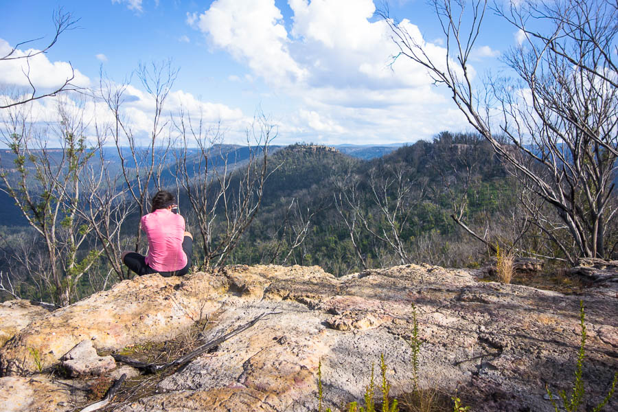
Lauren & Peter checking out the views

Needed to be careful wandering around the cliff edges!

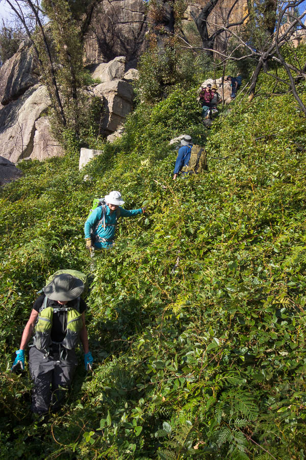
After lunch we took a more direct route to the end of the plateau. Hampered towards the end by vines, but after some persistence we found ourselves on the rocky outcrops at the southern end of the plateau.

Emerging from a particularly unpleasant section of vines

Views out to Fletchers Crown – another time!

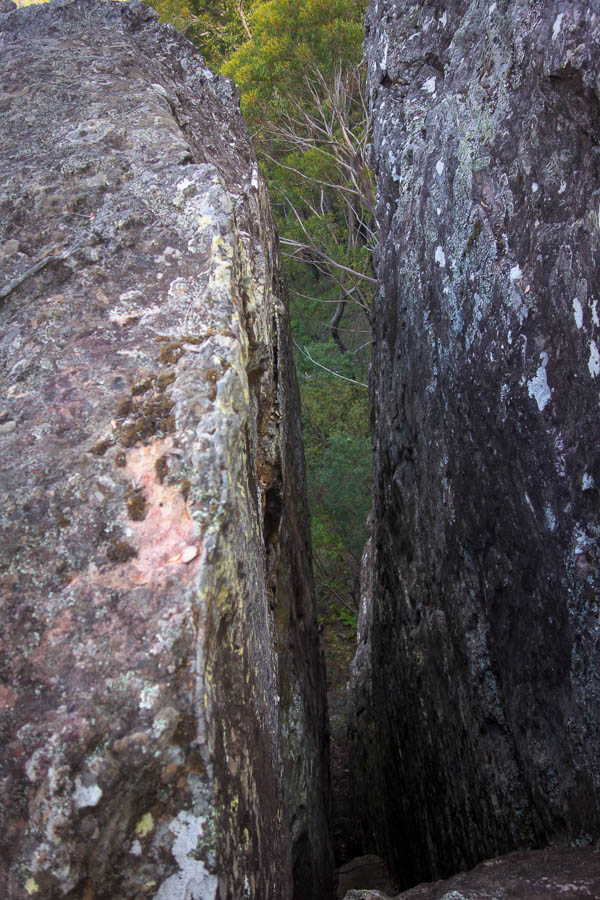
We had seen a couple of seemingly random cairns, including one on the eastern side – Tom checked out whether it was marking a pass but nothing was apparent. So instead we descended a small gully on the western side, and then found ourselves negotiating another vine-laden section before getting to Morley Saddle. While short, its narrow, rocky traverse was one of the highlights of the day.

Descending off the plateau

More fun vine times!

Morley Saddle

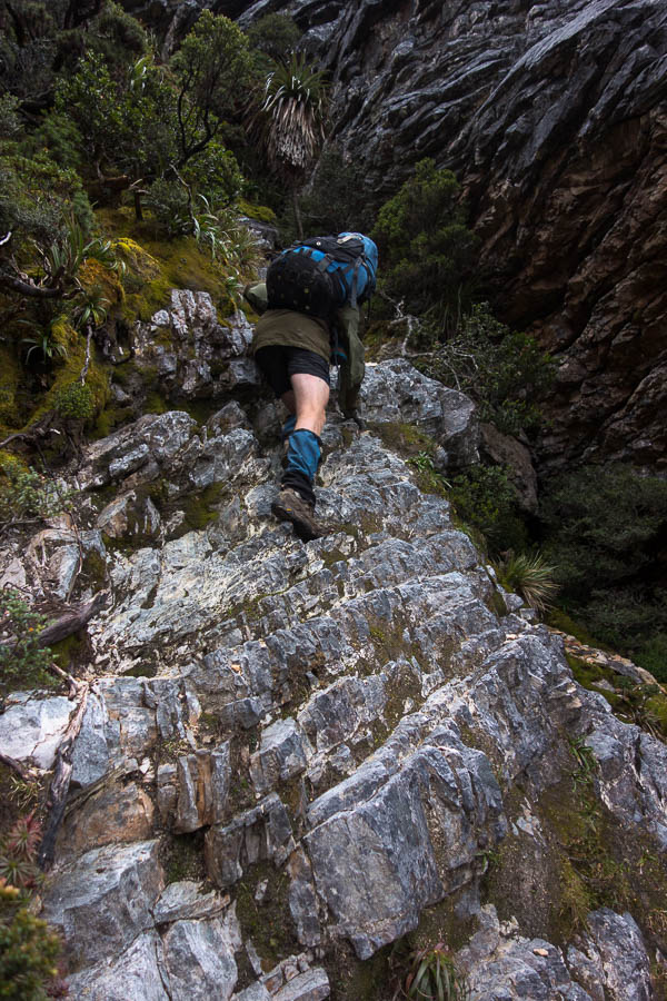
I said we weren’t going to do any “^&*# sidling” but with plenty more vines underfoot I decided sidling was the less painful option. We soon found ourselves on Atkins Spur and began our descent. Initially it was good going, then I veered off onto a minor spur. Tom called us back and took the lead. Soon we were engulfed in the worst tangle of scrub of the weekend. Over head high growing in all directions, plus going downhill. Tom was in the lead for about 10 minutes before he relinquished the vanguard back to me. Needless to say we were all pretty happy when we reached Bundundah Creek. Except that there wasn’t a good looking campsite option. I went off upstream and found something a bit better for 8 people. My communication had clearly been deficient and the others had been busy collecting firewood and selecting campsites while I was gone. Nonetheless I hope everyone agreed that despite having to walk upstream for a couple of hundred metres we ended up with a superior option.

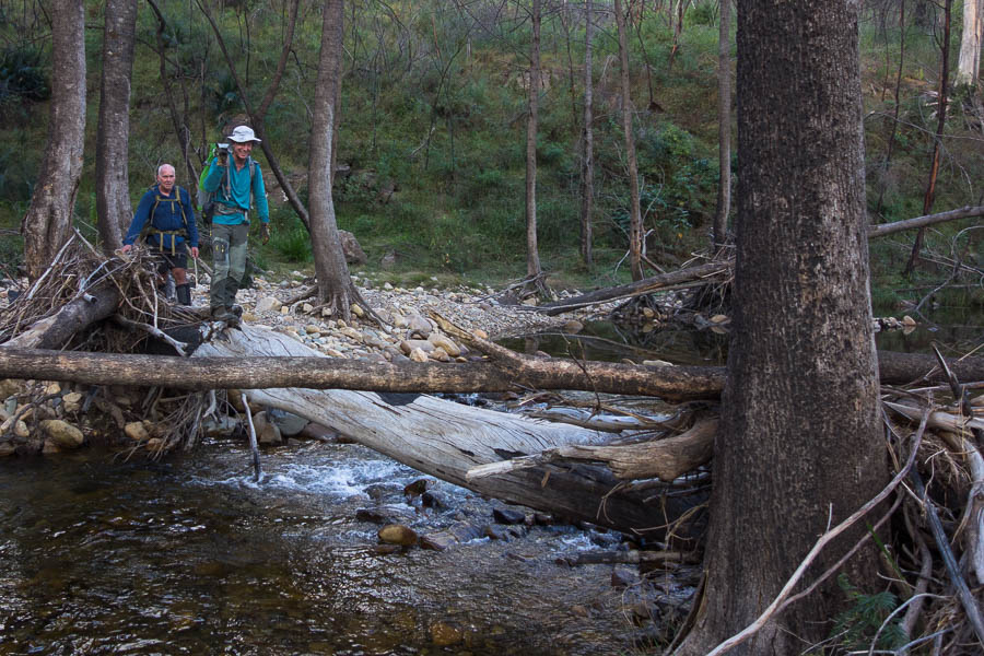
Creek crossing to get to camp

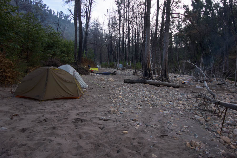
Camp!

It had been a warm day, and we’d all sweated profusely – some had run out of water. A wash in the creek was most welcome – if pretty chilly. We had a cheese filled happy hour, including fried haloumi. The evening was mild despite the clear sky. I was relieved when the time became something with a 9 in front of it so I could head off to bed – though the others seemed to be up for a while longer.

I perhaps was too generous in my starting time for day 2, given the pace on day 1. However, the time had been set, and so at 8:30am we headed downstream on Bundundah Creek.

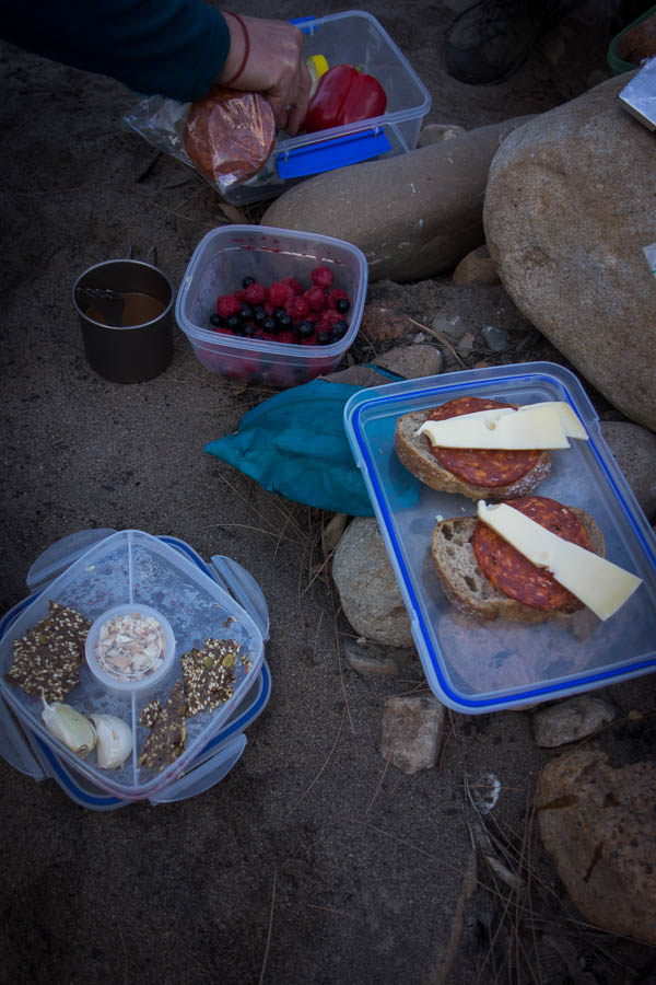
Some are more gourmet than others

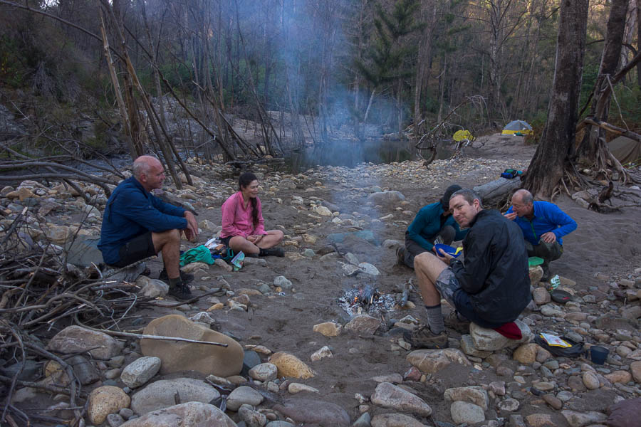
Breakfast fire

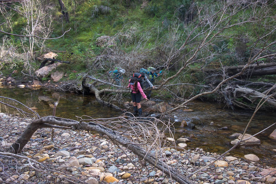
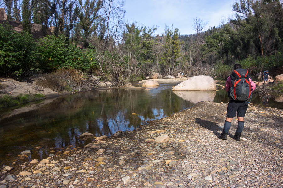
We had a number of creek crossings – they became easier as more people decided to get their feet wet. Though Tom (& maybe Alex) were prepared to work harder than everyone else and kept their feet dry the whole way.

One of many creek crossings on Sunday morning.

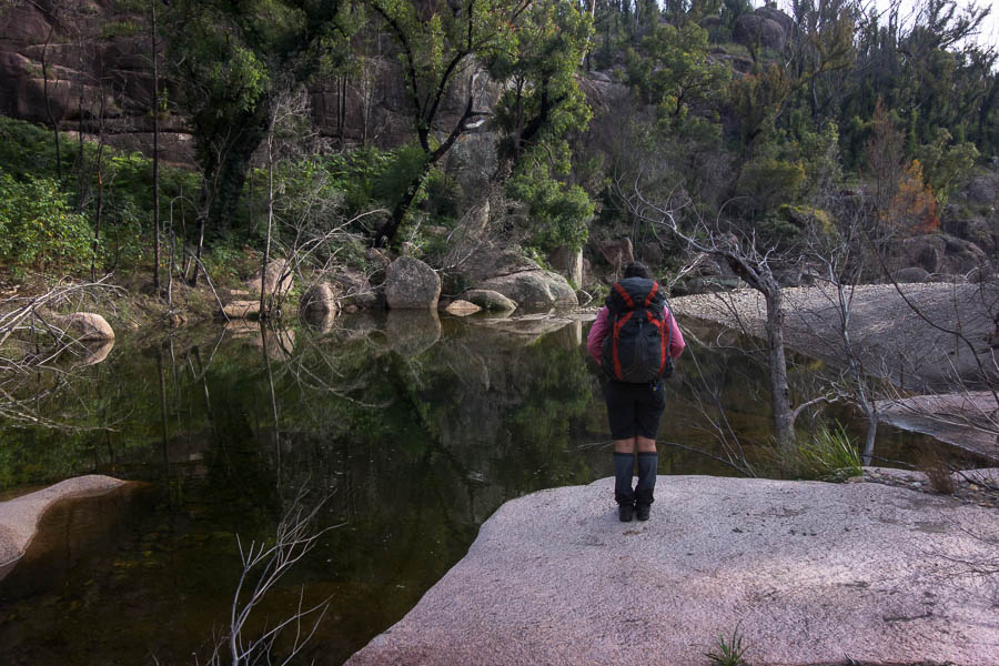
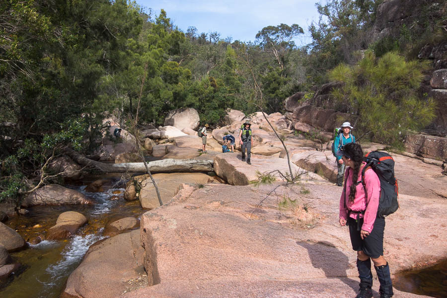
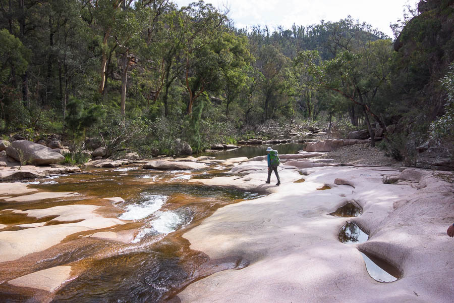
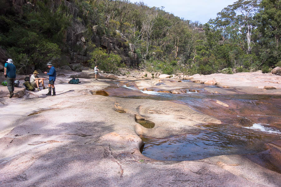
Pink granite started appearing in the creek. Initially we thought maybe it was just a brief intrusion, but it continued until the point where we exited. It was a highlight of the trip.

The granite begins

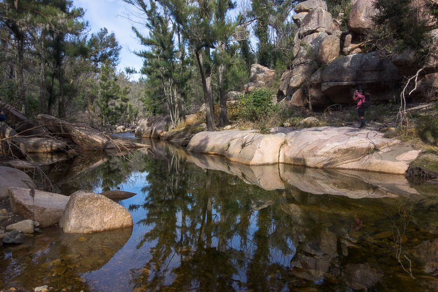
Still pool

Looking downstream

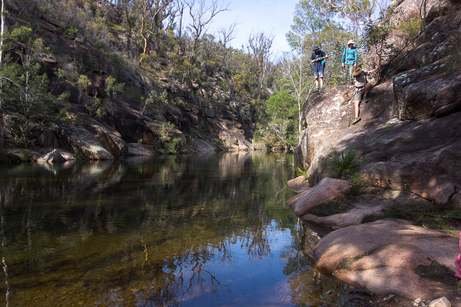
Alex negotiating a bluff (the ripples in the water because Jo knocked a handhold off!)

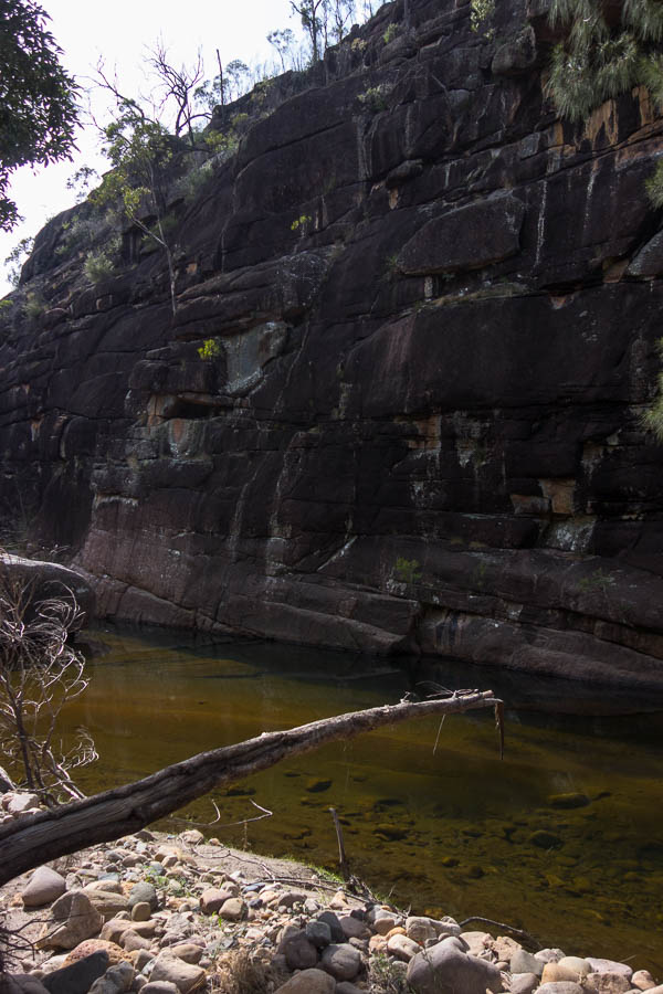
Granite cliffs

More granite & cascades

Nice walking

Beautiful spot

Reaching a particularly lovely section of shallow cascades I gave the party the option of an early lunch, then the climb, or to just get on with the climb. No one seemed to have an opinion so we went with mine – to get the climb done. After filling up with water (probably more generously after yesterday’s consumption), and a couple of head dunkings we were off.

Time to fill up water

We were happy that the ridge was relatively open and the difficulties were confined to it being warm and a 400m climb.

Jo & Lauren at the base of the cliffs

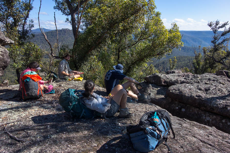
Lunch was in a somewhat shady spot just below the top of the cliffs with some nice views out over the valley. In retrospect if we’d kept going onto the tops we’d have found shade, similar views and a bit more space – but we’ll know for next time. There were dire calculations at lunch that we’d be pushing it to be back at the cars before dark. Quietly I was confident we had plenty of time – but you never want to say that out loud.

Views just after lunch

I was surprised to encounter a completely unburnt section – fortunately not very long. From there we picked up a similar route we’d walked the day before – though this time taking in some views on the western side of the plateau. Having been at the front almost all of the trip I was very happy to give that spot to Alex for the final descent back to Danjera Dam. The scrub really wasn’t that bad from the back of a pack of 8 walkers!

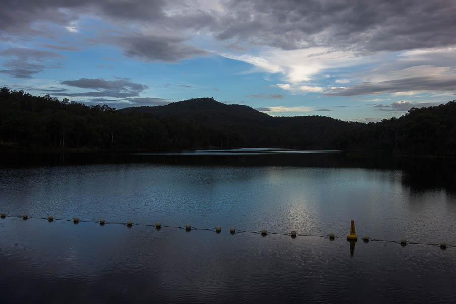
Danjera Dam

The final stretch

And so we re-crossed the spillway at 4:30pm – plenty (well, enough) light left in the day.

Tom taking the more direct route on the way back

Back in Nowra we had hoped to head to the Bridge Tavern for dinner – only to find it had closed down. Fortunately Lauren’s googling found us a replacement in walking distance from the car park. The Postman’s Tavern had a $12 burger special on Sunday nights – a more than worthy replacement to the $10 dinners we had been hoping for at the Bridge. Alex inhaled his 3 pattie “Beast” in half the time it took the rest of us to eat our slightly less extravagant burgers. Everyone’s cars started after dinner so from start to finish a successful weekend.

The Beast (at the back)


ACT adventures (9 Apr 2021)

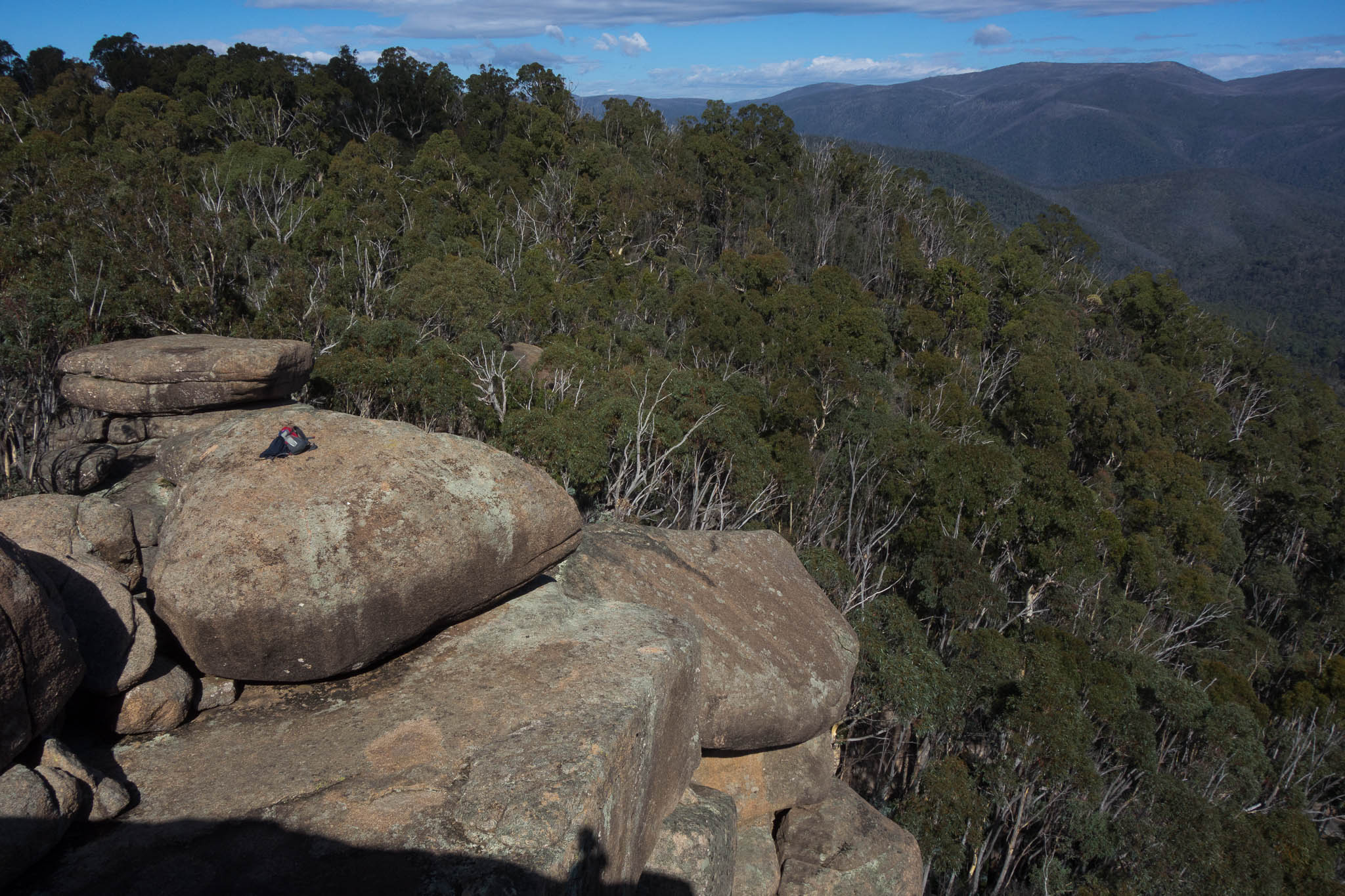
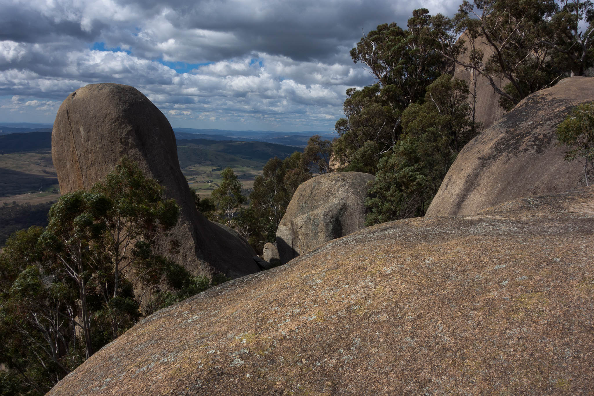
Square Rock walk had been suggested to us a couple of years ago but we’d never managed to get there. I finally had an opportunity to knock it off. It was a very pleasant walk through eucalypt forest up to the granite boulders look-out. I did the side trip off to Orroral Valley Lookout but I didn’t find a lookout – not sure if there is one, or if you just get to the edge of the plateau. Given it was a Friday I was a little surprised to see 5 other groups on my way down!

DSC04960

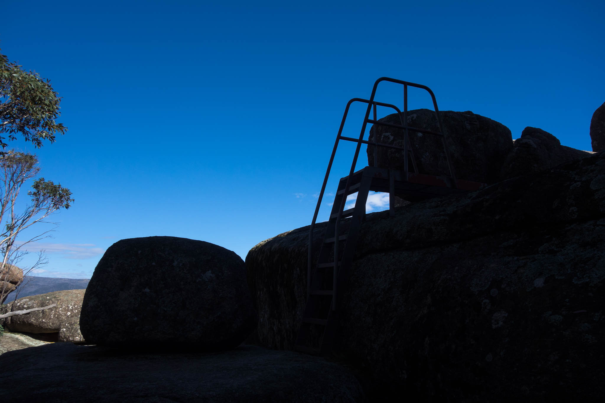
The ladder at Square Rock

DSC04971

Uh-oh

DSC04964

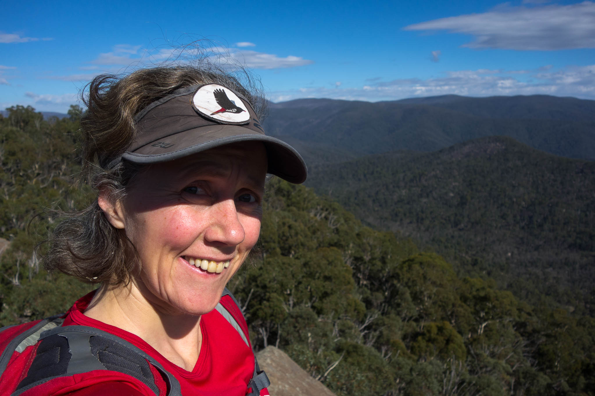
Views from Square Rock

DSC04968

Aforementioned cliffs

DSC04972

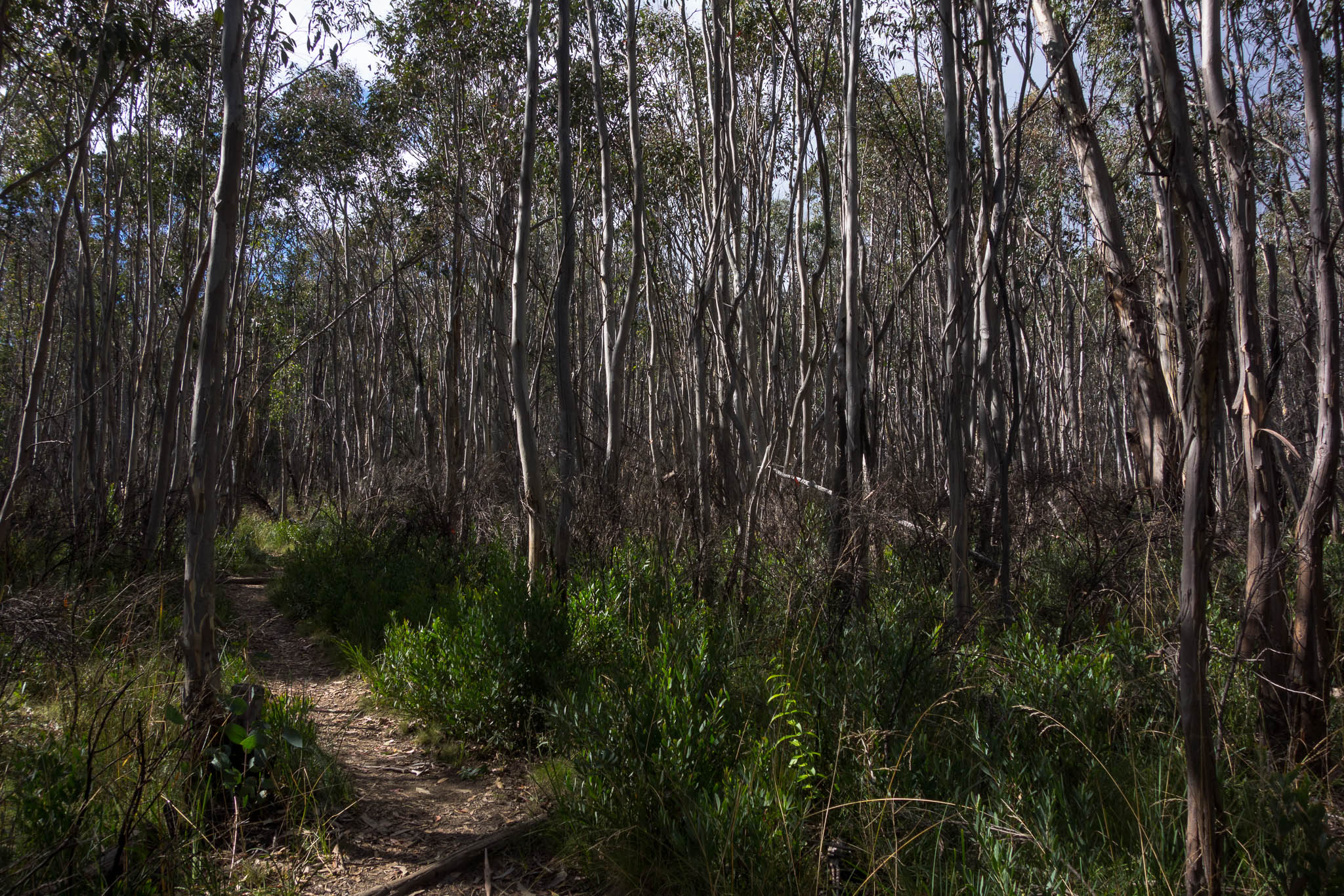
Beautiful forest

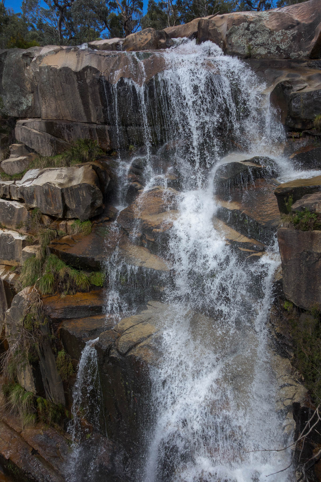
I stopped and did a short way to Gibraltar Falls on my way back down the road.

DSC04977

Gibraltar Falls

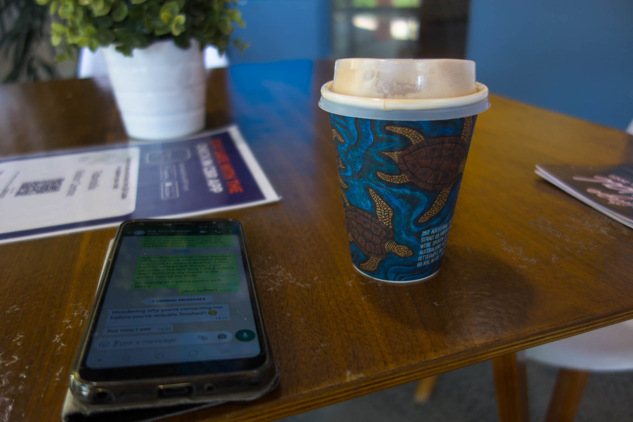
Before heading to Tidbinbilla Nature Reserve and walking to Gibraltar Peak. I started from Dalsetta, and then did the full loop back via the Visitor’s Centre – where of course I stopped for a coffee and use of the wi-fi!

DSC04979

Gibraltar Peak from the logbook at Dalsetta

DSC04985

Views from my lunch spot

DSC04987

Views from the other side of Gibraltar Peak

DSC04989

The best kind of break part way through a walk

First time in a while where I’d done so much track walking (and therefore kilometres) in one day. Square Rock Lookout (incl Orroral Valley Lookout) is 10.25km according to the brochure, and the Gibraltar Peak Loop was around 13km.

Boolijah Take 3 (27-28 Feb 2021)

I’ve tried to do this trip twice in the last two years. Both times on the SBW Program. Last year the bushfires put paid to the plans, this year it was rain. It was probably fortunate it didn’t go ahead as I had originally planned – since we didn’t really find anywhere that we could have camped. However, it was a pretty good trip and I intend to put it on the SBW Program again soon – though it will require a bit of thought as to the best way to configure it.

As with much of this summer it was a wet weather forecast – but the rain seemed more likely north of Sydney, so we headed south. It was nice to not have any time pressure since we weren’t meeting anyone and we were expecting Saturday to be a fairly short day. After picking up a few supplies and a coffee in Nowra we were walking by 10am.

DSC04707

Starting to get interesting

DSC04710

Tom trying to work out if we can get down

DSC04713

Guess we didn’t get down 🙂

DSC04717

Below it now!

DSC04723

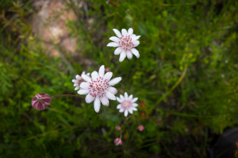
Yep, guess what? There were pink flannel flowers!

As expected we were at our intended campsite by early afternoon. We went for an explore and climbed a nearby pinnacle before settling in for the rest of the afternoon with our books. It is not often I take a book on a bushwalking trip!

DSC04730

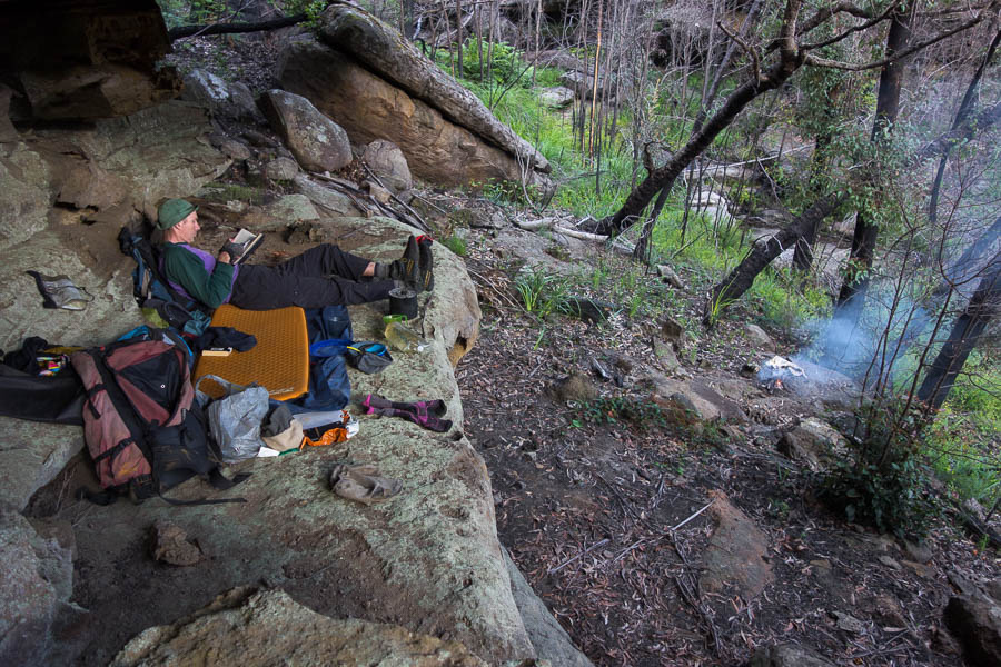
Lazy afternoon reading in an overhang

DSC04733

Early morning on the tops

DSC04735

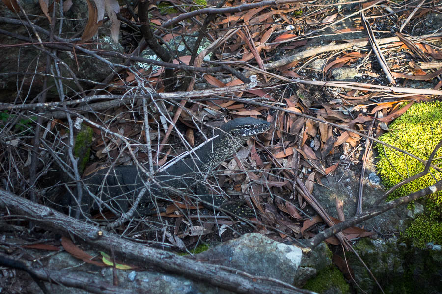
Why hello

DSC04741

Cascades

DSC04744

More cascades

DSC04747

Another set of cascades

DSC04748

Probably too big to be described as cascades?

DSC04752

Waterfall

DSC04754

Pool & waterfalls

DSC04756

Lovely creek

DSC04762

Tom picking his way down

DSC04764

Back to cascades?

DSC04765

Probably the trickiest bit to get through.

DSC04767

Tom looking for a dry way

DSC04771

But why am I now in front of him?

DSC04777

Waterfall!

DSC04783

Waterfall

DSC04784

Waterfalls

DSC04791

Glad we weren’t exiting up the east-facing bank…

DSC04792

Creek was still nice if of a different nature

DSC04796

Nearly at the top

DSC04798

Views from a pinnacle

Back at the cars at 4pm but then got caught in a traffic snarl on the way home which meant to we detoured via Camberwarra – a new experience. A great weekend with pretty good weather too.

Creek exploration (13-14 Feb 2021)

The weather forecast was looking pretty ugly for Friday night – with the Norwegian forecasters predicting 37mm a few days out – the BOM forecast was a more “reasonable” 6-15mm. It didn’t sound particularly compatible with the exploration of a quartzite creek! After much agonising Plan B was enacted which involved a very late start by SBW standards – 10am! As hoped for the rain had largely blown through by the time we started – we didn’t really get much beyond spitting through the rest of the day.

DSC04624

Climbing up through the burnt pagodas

DSC04628

Crossing a void

DSC04629

Lunch in the mizzle (with some views though)

DSC04634

Afternoon excursion

DSC04639

Pleasant creek

DSC04640

Home for the night

DSC04642

The other end of home!

Day 2 we revelled in the open walking across the Morton tops (whoever thought they would hear that phrase in their lifetime!) before we set off with day packs into a creek system I’d been wanting to explore for a while.

DSC04646

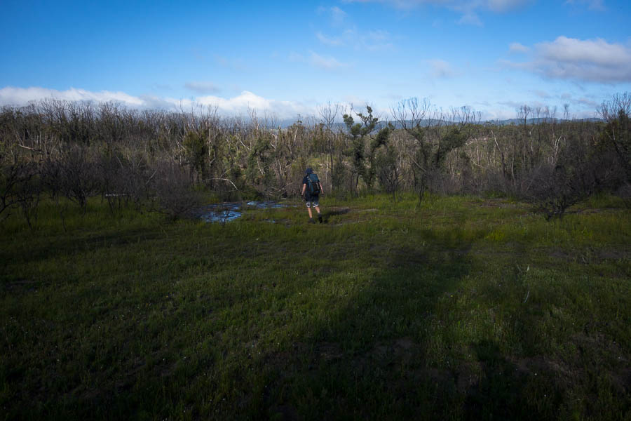
Meadow walking across the tops

DSC04652

Starting to look canyony

I thought we might by stymied almost as soon as we got into the creek, as there was a drop that needed a handline – at least at the water levels we encountered. Fortunately Tom was able to meat anchor the rest of the party allowing us to use a line with a few footholds, and then he reset off a natural anchor and had a more difficult descent (but he was the tallest in the group by a fair way). I headed down first to make sure we were going to be able to continue on without issue – which we were – other than getting waist deep wet!

DSC04654

The others negotiating a small drop

DSC04660

Bouldery section of creek

DSC04661

Pink flannel flowers everywhere!

DSC04662

Jon going the sloped route

For the rest of the creek any time we hit a drop that we couldn’t downclimb easily we were able to walk around the top of the creek and find a straight forward way back in.

DSC04666

The guys about to launch (not)

DSC04668

Tom about to launch again (not)

DSC04673

Canyon!

DSC04679

In the canyon

DSC04680

Cascades

DSC04681

Impressive country

DSC04684

On a rocky ledge

DSC04685

Tom kindly clearing the spider webs for the rest of us

DSC04688

Lunch spot

DSC04691

Swim time

DSC04693

Nice section of creek

DSC04698

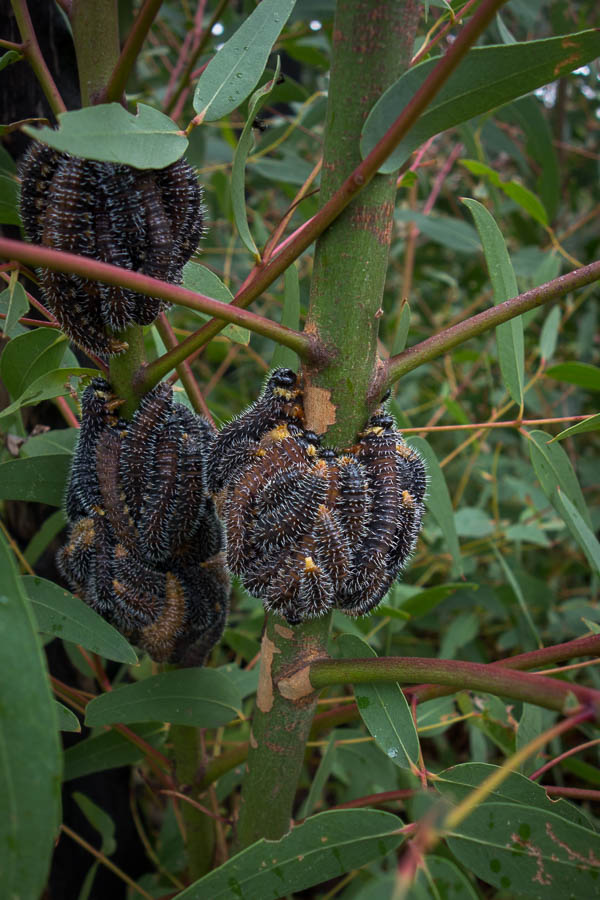
Spitfire (sawfly larvae) – we saw a lot of these over the weekend

DSC04699

The final creek crossing

Extra long weekend (23-26 Jan 2021)

Australia Day fell on a Tuesday this year so it only made sense to take the Monday off work and turn it into a 4 day long weekend. Tom had a plan which he showed me on the Friday night. The plan was full of caveats that we might go several kilometres up a creek and find an obstacle and not be able to find a pass out and have to retreat. Why not do the trip in the other direction then? Tom listened to me – which turned out to be a poor idea in retrospect…. but I’m getting ahead of myself as we wouldn’t find that out until day 3.

The forecast for the 4 days was for a heatwave over NSW. Temperatures around the area we were going to be in were expected to be around 30°C each day. Subsequently we were hoping to spend most of our time in creeks!

We knocked off the ridge walking to get into our creek system by late morning on day 1, glad to have morning tea in relative cool of the creek.

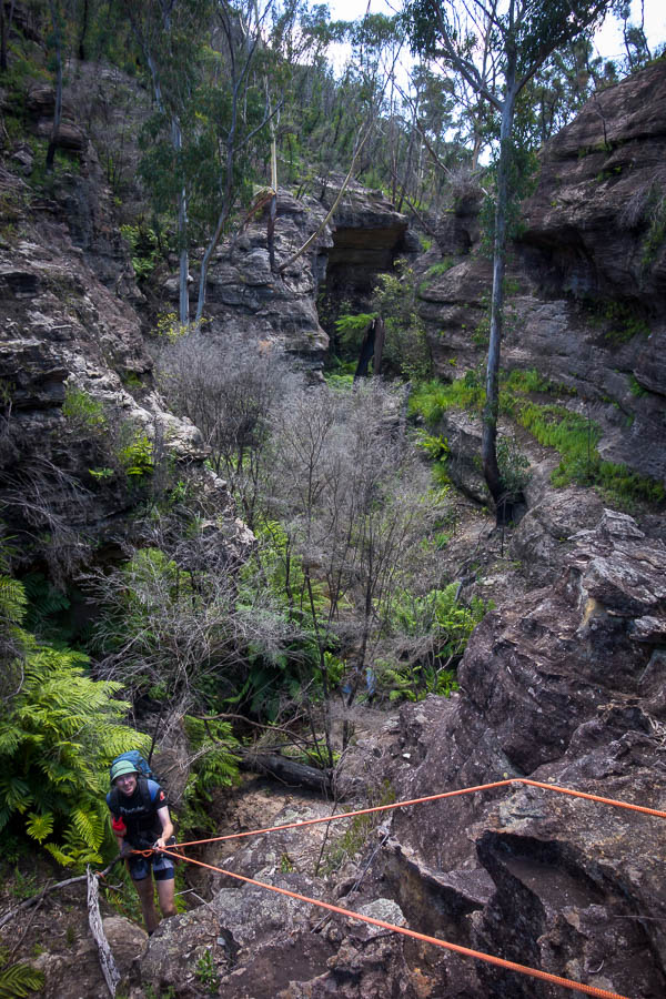
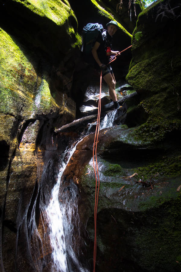
After that we hit one of the few (only?) keeper potholes I have encountered in the Blue Mountains which looks to operate in keeper mode most of the time. Fortunately it was easily bypassed by abseiling into the creek downstream of it. From there we abseiled and waded our way downstream. We sweltered at times in our wetsuits as the canyon was fairly open and shallow.

DSC04407

Tom on the second abseil in our first canyon

DSC04408

Below the second abseil

DSC04411

Tom abseiling (again)

DSC04414

Tom in the canyon

DSC04416

Tom still in the canyon

After a long section of creek walking we eventually hit what Tom said would be the final abseil. As it turned out we ended up doing another one, but perhaps in more drought-like conditions it could have been down climbed.

DSC04422

The final (not) awkward abseil

DSC04429

Camp night 1

The next day we headed down the several kilometres of creek which might have had an impassable obstacle and no way round. We didn’t find any – which just shows you never know till you go.

DSC04436

Impressive amphitheatre

DSC04438

Tom disturbing a bunch of composting debris

DSC04443

Crossing a wide section of creek

DSC04444

Crossing back again…

DSC04446

Finally something that resembles a canyon

Eventually we decided we should make camp. There had been plenty of options through the day, but as is typical at the point where you start wanting a campsite they dry up. We did employ a fairly inefficient method of finding a campsite, which probably made the whole process take three times as long as it should. However, eventually we found ourselves a nice raised sandbank. It was a very warm evening and even with our mossie net allowing us the luxury of not being mauled by mossies outside our sleeping bags I was still a sweaty mess.

DSC04451

Camp night 2

DSC04452

Happy hour!

DSC04453

Early morning dip on day 3

DSC04458

More wading early on day 3

Our third day was the least “successful”. Our plan to ascend a creek was stymied fairly early on. We managed to bypass one obstacle by climbing high around it, only to hit another obstacle shortly afterwards. Perhaps we could have climbed around it, but there was still a long way to go and the further up we went the longer we’d have to retreat if we got stuck. Reluctantly we bailed out onto the ridge. It wasn’t that far to walk around to the upper section of the creek… but even if it was only a couple of hours with the heat it was pretty oppressive.

DSC04462

The end of our attempt to go up this creek

A late lunch back in the shade of a side canyon was a welcome relief. Unfortunately that episode really took it out of us and we didn’t have a lot of energy left for exploration for the rest of the day.

DSC04464

Some hours later, having survived the blazing heat of the ridges, we are back in a side creek

DSC04466

We are not alone! We followed these footprints for the rest of the day

When we found a not particularly good camp cave at 4pm there was unanimous agreement that we should call it a day. A full body immersion in a pool downstream was welcome, as was the temperature dropping a bit overnight.

DSC04467

Camp night 3

After our experience on the ridge the previous day we agreed to get moving early on day 4. We were walking before 7:30am and decided to roll the dice and ascend another side creek. Fortunately this time luck was on our side and we managed to get almost the whole way up it, and once we were stymied we forced our way out onto the ridge.

DSC04479

Early morning canyon exploration day 4

DSC04481

He’s got the moves like… Jagger!?

We did drop back in and explore the upper section which was very nice canyon, but I didn’t take my camera so no photos!

From there we had the ridge-bash back to Deep Pass, but a reasonable breeze made the temperatures more bearable. We were somewhat surprised to stumble across some gear – particularly since we were on the side of the ridge at the time. I wrote them a “Hi” with stones – whether they noticed it on their return who knows!? To go with the footprints we’d been following it made it feel very busy out there in the wilderness!!

DSC04484

We left this stone message for the owners of this gear we randomly stumbled over on the ridge

DSC04486

Descending back to Deep Pass

We had lunch at Deep Pass and sent a few groups who couldn’t find the “waterfall” in the right direction. Post lunch we ascended Deep Pass Canyon back to the cars – we bumped into a large group near the top – including some people we knew.

DSC04488

Tom proving he still has the nerve in Deep Pass

DSC04492

Deep Pass Canyon

DSC04496

Deep Pass Canyon

DSC04498

Deep Pass Canyon

We got to Pie in the Sky in time to claim their last apple pie (but sadly there was only one not two). A good weekend out even if it not quite going to plan.

Wentworth Creek (9-10 Jan 2021)

Another trip which I’d cajoled out of Tom when I was seeking walks for the Summer Program. We didn’t know anything about the section we were attempting so I guess it wasn’t that surprising when we couldn’t do the trip as planned.

The weather wasn’t ideal for a wet trip, or at least not on Saturday, when it was grey and cool. With the large amount of recent rain there was plenty of flowing water in the creek. Our feet didn’t stay dry for long, and after a couple of swims I think we were all feeling a little chilly.

DSC04343

Early on in the creek

DSC04344

Walking through an overhang

DSC04346

Slow section

DSC04349

Mark hand-over-hands, while Jo watches on

DSC04350

Looking pretty canyony

DSC04353

Tom & Lauren above a waterfall which needs to be abseiled… we don’t have gear.

Having got to a waterfall that we couldn’t safely get down without abseiling gear we reversed upstream and managed to exit via a side creek.

DSC04355

Lauren reversing up the creek

DSC04358

Lauren & Jo in a side creek/canyon

DSC04359

Forcing a pass out

We had lunch on the cliffs above the creek and marvelled that we’d found a way out given how many cliffs there were. Tom gave us a less than 50% chance of finding a way down the next side creek (without using rope). But we went to check it out. Unfortunately his odds were right and were again stymied.

So we picked up water and headed up the nearest ridge. This area hadn’t been burnt and it was a good reminder on what unburnt bush-basing is like…. To our surprise after a fairly unpleasant ascent the ridge opened out to a delightful series of cliffs with enough flat areas for us to have a great camp. Jo made the unfortunate decision to sleep under the stars, but with the cloud clearing there was a lot of dew and her tent went up just before bed (that didn’t save the sleeping bag which had been out though).

DSC04376

Delightful sunset

DSC04377

Dusk

DSC04378

Dawn

Next morning we had a fairly early start and got back to the cars at 10am. Not quite the planned weekend but good company and fun exploring anyway!

DSC04379

Our camp

Western Arthurs (A-K) (21-27 Nov 2020)

DSC04133

Turn around… (bright eyes)

Yet again I felt like pinching myself. Less than 12 hours ago I was in my bed in Sydney, now I was standing on Mt Hesperus surveying the majesty of the Western Arthurs.

The past few days seemed like a dream. It had only been 3 days since we decided we were going to tackle the Western Arthurs (A-K). Trailhead transport booked Wednesday night. Packing list written up at work on Thursday. Fortunately Tom had been dehydrating food in anticipation of some sort of trip for a few days, but even so the last things came off the dehydrator Friday night. And Saturday morning we had taken our first flight in Covid-world, been whisked away from the airport by TWE, allowing us to start walking from the Scotts Peak Dam trackhead shortly before midday.

It’s very easy to be a fair-weather bushwalker in NSW, particularly when you’re just heading out for a weekend. Weather’s looking truly awful? Stay home. Really need to get out? Re-route to a camp cave, half the time the rain doesn’t come anyway. Subsequently Tom & I have done very little camping in the rain over our bushwalking history. I’ve had the Eastern & Western Arthurs on a vague to-do list for some years. But they had always hovered low enough that no action materialised, because the thought of spending a day or two stuck in a tent due to the weather seemed so unpalatable. So little thought had been put towards the area that, the weekend before we headed to Tassie, when on a club trip Lauren mentioned doing “A-K” I had no idea what she was talking about.

Tom had been forced to book in his leave entitlements for the year months ago, which is why we had a random week off in November. We were toying with options for Wollemi traverses when the Tasmanian border re-opened creating another option. Initially I’d looked at Federation Peak (closed), Mt Anne Circuit (closed), Frenchmans Cap (too short)… but then saw the Franklin River and tried to book us on a rafting trip. Minimum numbers were needed for the rafting and Plan B, C & D were rapidly being spun up just in case. Plan E (Western Arthurs) only eventuated after Lauren mentioned it the Sunday before we were meant to leave! I had assumed because Federation Peak was closed the surrounding area was – secretly I was much keener on this idea, so there was little disappointment when on the Wednesday before we officially pulled the pin on rafting due to lack of numbers.
DSC03824

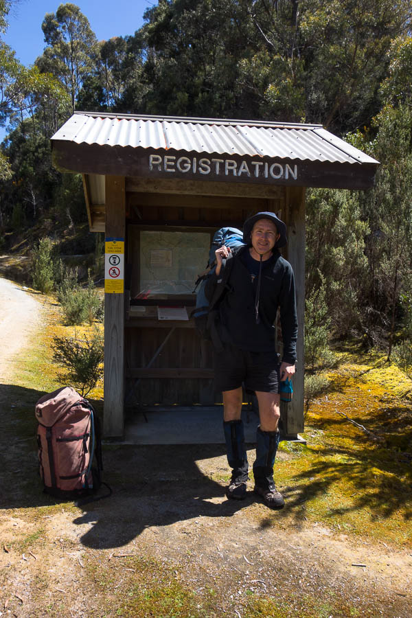
The start – packs not looking too big
DSC03827

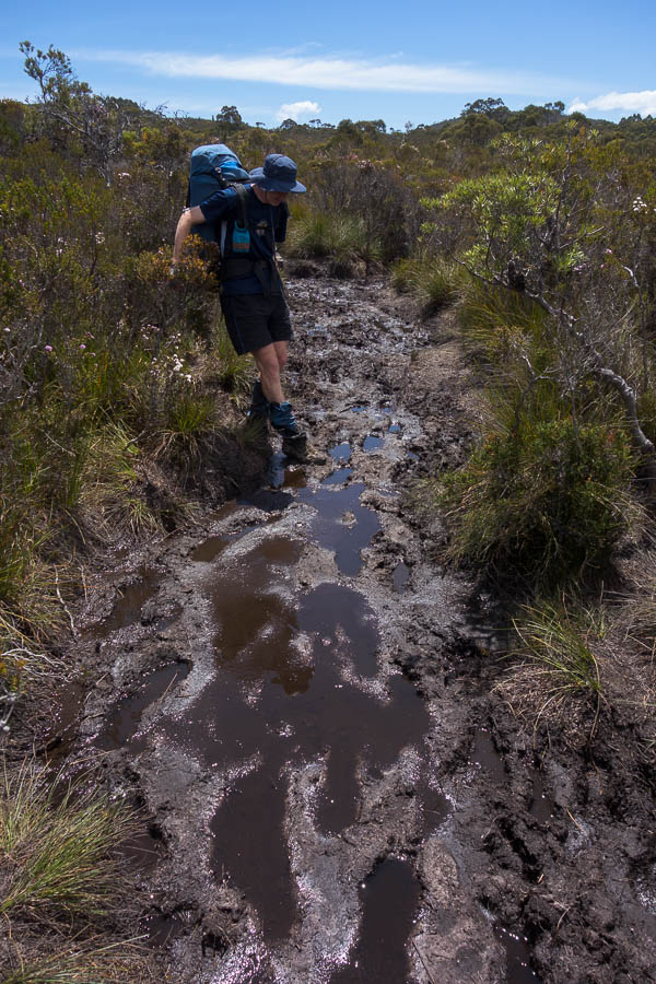
A sample of the section from the car park through to Junction Creek
DSC03829

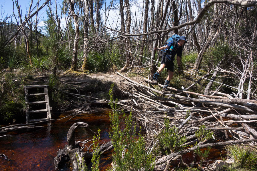
Crossing Junction Creek

DSC03830

Beautiful weather to start our walk (almost too hot)

And now here we were having slogged the 800m up Alpha Moraine (“A” in the “A-K”) with our fingers-crossed the forecast would hold. It was still an hour or so from Mt Hesperus to our first night’s camp at Lake Cygnus.
DSC03842

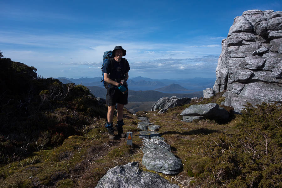
Tom with Lake Pedder in the distance, after we’ve completed the biggest climb of the trip – 800m up Alpha Moraine
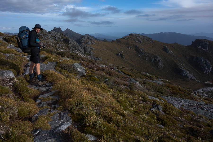
DSC03845

Now we just have lots of ups and downs as we go along the range

Some way out we spotted the silhouette of a person on the ridge line. Interesting. According to the log book there had been twelve starters two days earlier, but none since, so presumably this was someone from one of those groups. Tom’s assessment of photographic equipment as we approached the lone figure pegged him as a serious photographer. As it turned out his collection of 4 lenses, 2 bodies and various other paraphernalia made Tom look like a model of restraint with “only” 3kg of camera gear! It took a bit effort to keep Tom moving, having got caught up in a photographic discussion with Ross. Subsequently it wasn’t until 7:30pm we found ourselves near the shore of Lake Cygnus setting up for the night. I was sure sleep would come easily – after a 5am start, a couple of poor night’s sleep in the lead-up, a 900m climb with a 16kg+ pack – until I returned from the toilet to find a rat investigating my pack.

DSC03850

Heading down to Lake Cygnus – camp for night 1

My biggest worry coming into the trip was rats eating my pack at Lake Oberon. In the flurry of blog-post reading in the two days we had of planning, rats had featured in a few reports. And now we had one at Lake Cygnus. I scared it off and packed everything away as best I could. I lay there listening for the tell-tale scurry of little feet. Imagination on overdrive, there were a couple of false starts, but then sleep came and I didn’t hear anything until the next morning – where to my great relief my pack still had the same number of holes as the night before.

Day 1: 15.7km, 11:45am – 7:15pm = 7.5 hours including water collection, afternoon tea, photo-faffing etc. Chapman’s estimate: 6-9.5 hours (excluding breaks)
animal count: one native rat, 2 small snakes
packweight: 16kg?
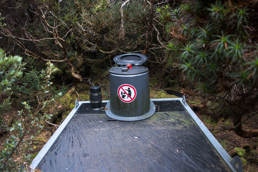
DSC03855

The toilets at each site were like this. Unscrew the lid, put down the seat, then screw the lid back on when you’re done. Fortunately I never needed to use one when it was pouring with rain.

We thought day 1 would be the most physically challenging day on the trip for us. Give us difficult terrain and short distances over long distance on track any time. Our second day was much shorter and we didn’t hurry to get moving in the morning. Ross headed off back to the car park with his 30kg pack shortly after 7am while we were still eating breakfast. The blue skies we’d started with yesterday had been replaced with a grey version, but overall the conditions were relatively pleasant. We took a side-trip up Mt Hayes for morning tea, and then had an early lunch at Square Lake.
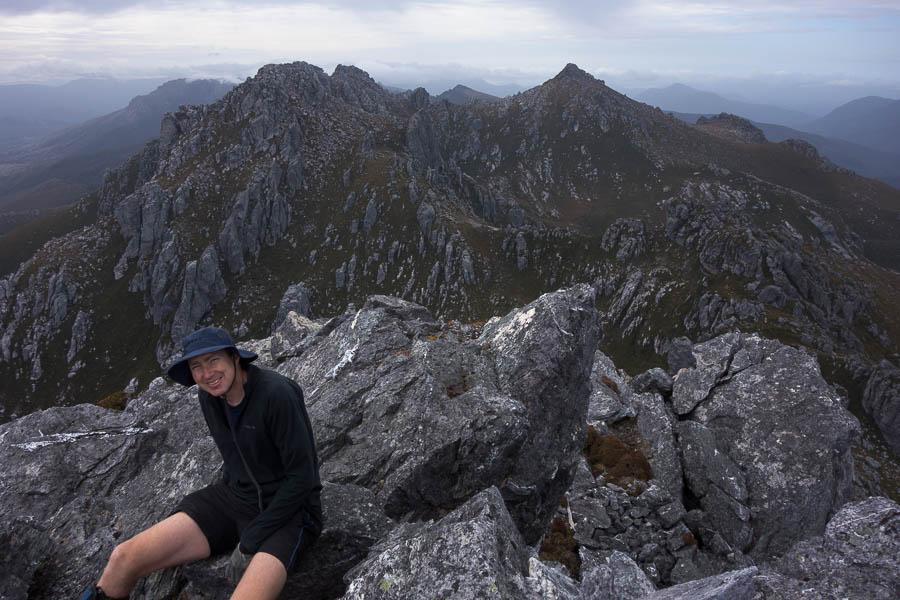
DSC03865

Views from Mt Hayes

There’d been the odd spot of rain during the morning but it started drizzling which brought an abrupt end to lunch. We powered up the next hill and by the time we got to the top the precipitation had eased off, but it had also put any thoughts of a side trip up Mt Orion out of our minds.
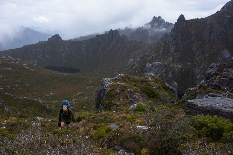
DSC03880

Lake Ceres & Square Lake behind us we climb up to the Mt Sirius saddle

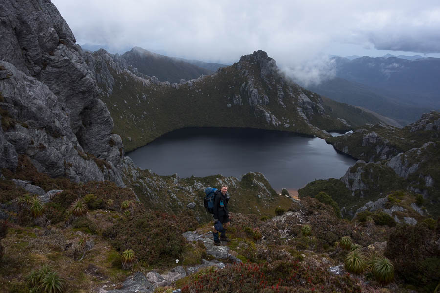
We oohed and aahed over the classic Mt Oberon view from the saddle before heading down. I had anticipated this section keenly as it was where all the notes said “if you don’t like the approach to Lake Oberon then turn-around”. It was also to be our first encounter with a Chapman “steep” section. Curious to see how things would pan out we walked down the constructed steps wondering what was to come. Steep, it certainly was. Our packs were still relatively heavy having only eaten a day’s food which made things a little more awkward, but there was nothing overly difficult in the descent for us. My main complaint being a wet butt by the time we got down, as I had to sit on a few of the ledges to order to scramble down. Tom as usual hit the right sympathetic notes with his “better a wet butt than a squashed Rachel”.
DSC03890

The classic view of Lake Oberon

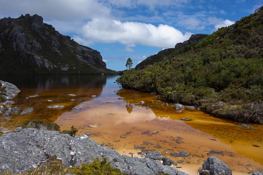
By the time we got to the lake shore the sun was out with blue sky aplenty. I stripped off and threw myself into the lake before I cooled down. The water was chilly away from the shallow foreshore! The campsites at Lake Oberon are tucked away in the bushes – which I’m sure is great in inclement weather but it was a little gloomy on a day like the one we had. We settled down to do a crossword in the sun by the shore before eventually retreating to set up camp.
DSC03902

Turned into a stunning afternoon at Lake Oberon

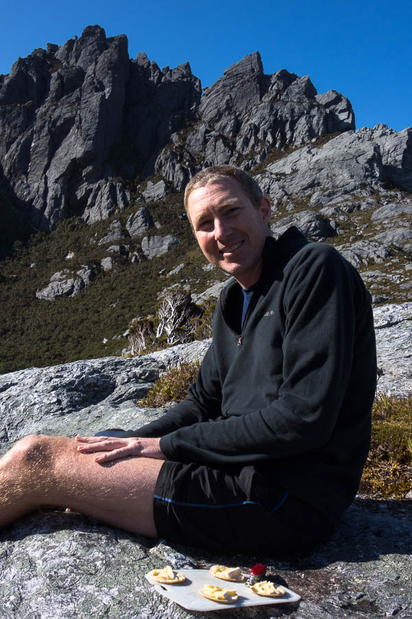
Happy hour was again out by the shore with Tom chasing the sunlight up the slope as the sun sunk behind the surrounding hills. During dusk we heard some voices, presumably starting to descend to Lake Oberon. We headed back out to the lake shore for some sunset photos but couldn’t see anyone and no one ever arrived (that we could tell).
DSC03907

Happy hour on the lakeshore

DSC03912

Sunset on Mt Pegasus (we climb that first thing the next day)

Day 2: 4.2km + Mt Hayes sidetrip, 8am (?) – 1:45pm = 5.75 hours including morning tea, lunch, photo-faffing. Chapman’s estimate: 3hr10 – 4hr 40 (excluding breaks)

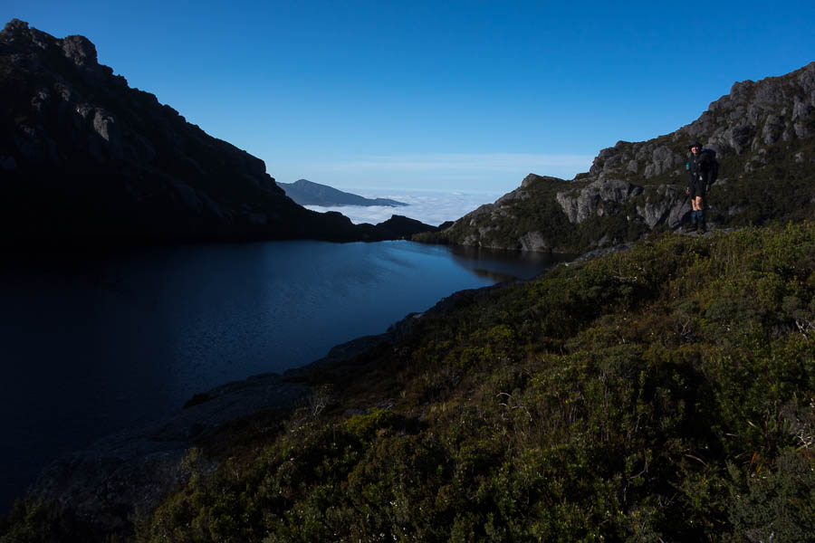
It was a very still night, and the night sky was spectacular. On the downside that meant heavy condensation on the tent, which we spent a lot of time wiping down with the chux the next morning. Even so we were still away by 7am, in perfect weather conditions. My worst fears for the trip hadn’t eventuated – no sign of any rats overnight.
DSC03920

Still morning with a sea of cloud in the distance

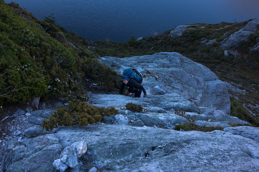
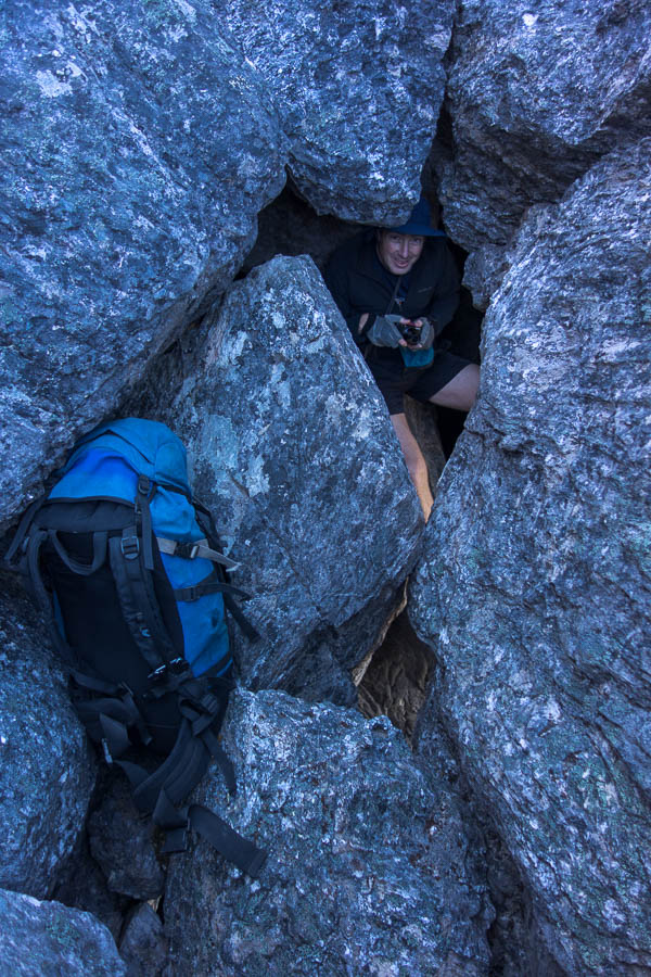
The scrambling on the lower slopes of Pegasus was my least favourite part of the day. It was the start of a mantra I repeated a few times over the next two days; “I am so glad I’m not doing this in the wet!!” We made pretty good time getting up Pegasus. But after we got through the hole at the top, we wasted quite a bit of time finding our way along the ridge to start the descent off. Probably my fault for claiming we were going to be on the 1 hour end of the 1-2 hour Chapman estimate….
DSC03927

Scrambling on the lower slopes of Mt Pegasus
DSC03937

The hole near the top of Mt Pegasus. The only place on the trip we passed packs.

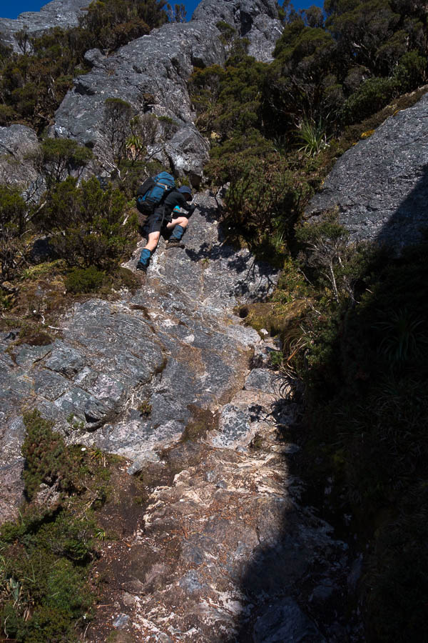
The views in this next section were amazing. But off in the periphery I could see the sea of cloud which had been so attractive in our earlier photos rising… and rising… until we were engulfed in it. That wasn’t quite the end of the views for the day, but they were a bit more sporadic depending on height of the cloud.
DSC03946

Descending off Mt Pegasus

DSC03950

Looking along the ridge to Mt Capricorn. Somehow we’re going along there.
DSC03951

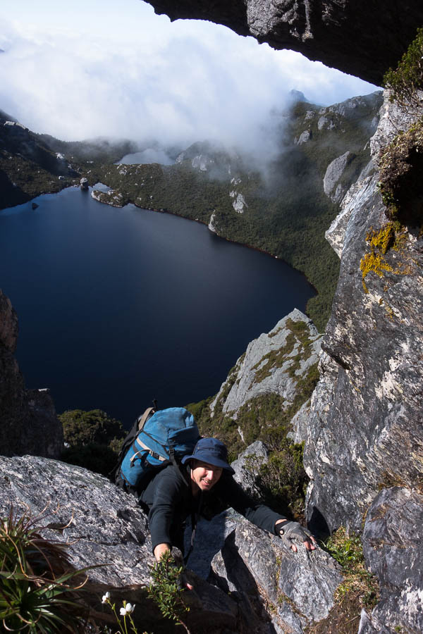
Scrambling above Lake Uranus

DSC03953

More scrambling (and this is why it takes 5-7 hours to cover 4km)
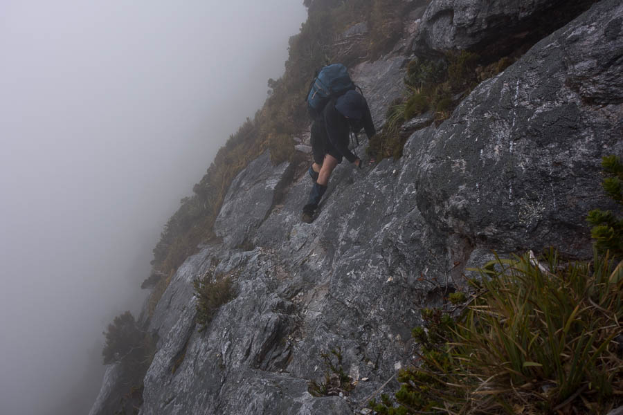
DSC03958

The cloud has engulfed us, but this traverse still feels airy

We experienced our first (but not last) experience of dirt bank climbing in the next section. I was somewhat horrified at the erosion in some sections and as Chapman says in the notes it seems likely some sections of the route may become impassable in future due to the erosion. It’s a difficult conundrum – by being there we were contributing to the problem – should we not go?
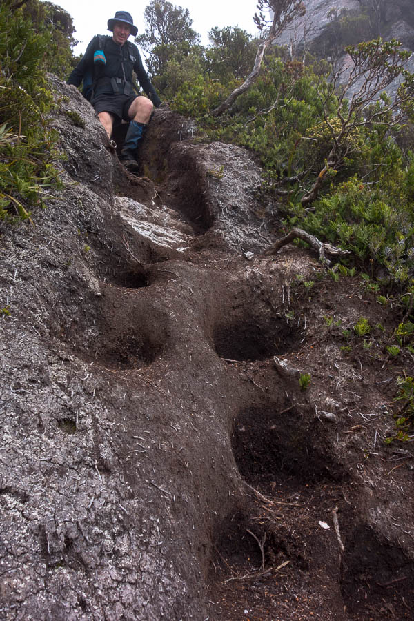
DSC03965

Our first encounter with eroded dirt banks. There are many more sections like this (mostly dodgier/more eroded).
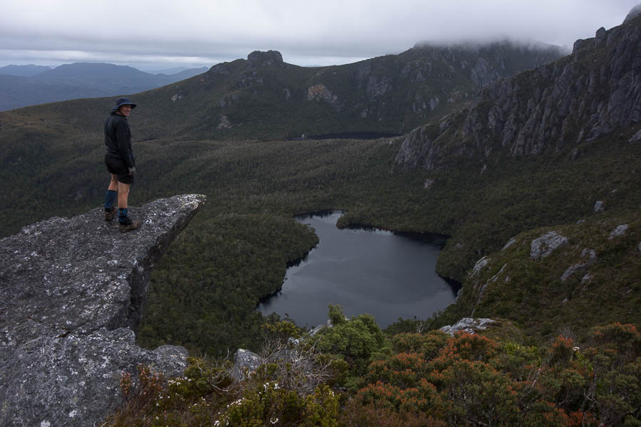
DSC03988

Looking over Lakes Ariel & Titania

We arrived at High Moor in the early afternoon. I optimistically assessed the tent platform for its quality as a back rest not realising we’d spend most of our time in the tent to escape the wind. It cleared a little mid-afternoon so we climbed Mt Columba where we got good views of the route ahead. We also attempted to check the weather forecast. Of course, turning on the phone to get the forecast does mean other messages pop up as well. Tom spent a few minutes giving permissions to files needed for our bushwalking club’s Weekly Update to go out. By the time he’d finished that there was a bit more cloud around and the 2 bars of reception were diminished. We didn’t manage to get the 3-hourly rain forecast or, as it turned out, more importantly, the wind forecast. We just saw that the overall rain forecast for the days ahead was still pretty benign – 0-3mm the next day being the worst of it.
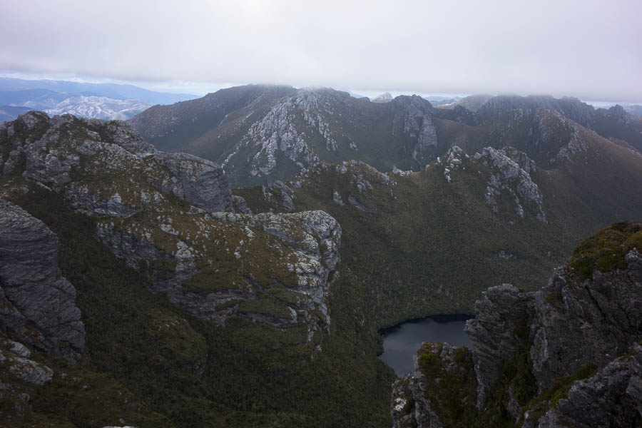
DSC04004

View from Mt Columba of our route for the next day – yep following that narrow ridge line

Day 3: 4.3km, 7am – 1:45pm = 6h45 including morning tea, lunch, much photo-faffing and wasting time route-finding on top of Pegasus. Chapman’s estimate: 5-7 hours (excluding breaks)

DSC04012

Camp at High Moor, with Dorado Peak in the background

The next morning we got going early again. The cloud was high enough that we could see the ridgeline ahead as we set off along the almost paved path to the start of the Beggary Bumps. The first gully was my least favourite section of the day – a wet steep climb down with a tumble to oblivion if you stuffed up.
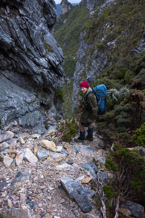
DSC04014

Our first steep gully on day 4

DSC04016

The bottom of the gully. This was the section I liked least for the day.

By the time we’d been up and down and around and got to the “Tilted Chasm” it seemed comparatively tame. I suspect our canyoning experience helped though, as getting into the top was a fairly standard canyoning scramble.
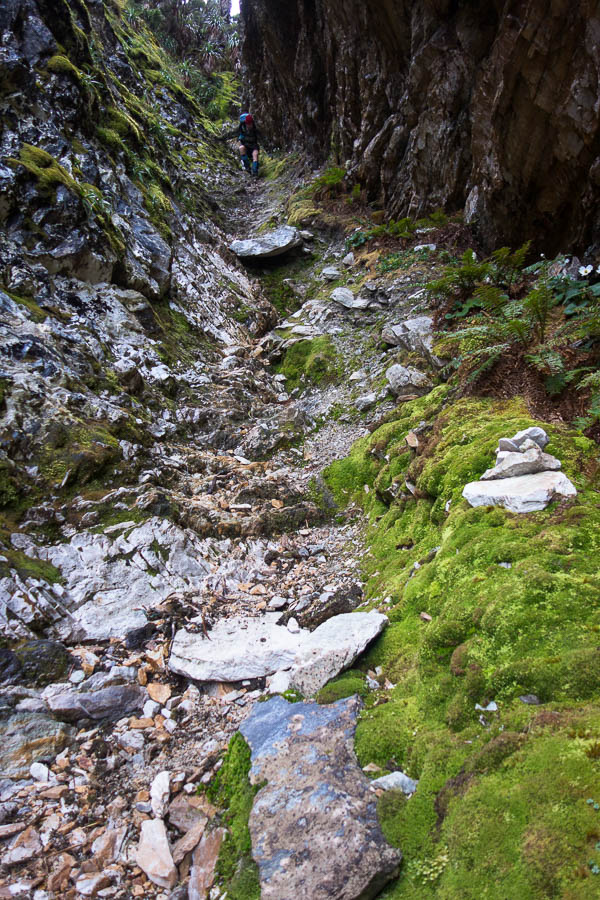
DSC04034

The Tilted Chasm felt comparatively easier
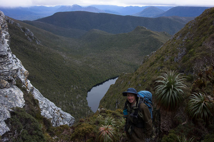
DSC04037

Views over Lake Ganymede

DSC04042

More scrambling. Let’s be honest on a day which is 3.8km and takes 4-6 hours, there’s an awful lot of scrambling.
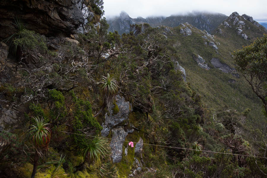
DSC04044

Do not pass the pink tape! (Actual route sidles around on the left)

The slow progress up and down and around continued until I suggested an early lunch in the saddle before Mt Taurus. Mt Taurus and the other surrounding peaks had been in cloud for most of the day, whereas from the saddle we at least had some views. It turned out to be a good call as the rain started just as we finished lunch, and we spent the rest of the day walking in drizzle and cloud. My orientation completely gone – at one stage if felt like we’d gone over Mt Taurus just to come back up to it again – though that’s probably mostly to do with the circuitous route that was needed to get off the peak. Keen to get down and dry I initially baulked at the cleft we needed to descend. But the alternative track seemed to just lead to a lookout (who knows we couldn’t see anything just being in cloud). Tom had a second look at the cleft and concluded it was actually pretty easy to get down – putting me to shame, but I agreed once I actually tried it.
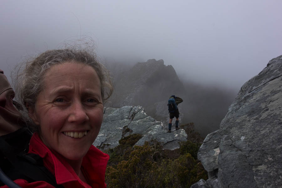
DSC04057

My life. Waiting for the photographer.

Eventually we could see a lake, and skirted around it through overgrown tracks to find the tent platforms. We stood under the relatively dry shelter of a stand of scorparia optimistically hoping it would stop raining. After a while I decided we had to just bite the bullet and put up the tent in the rain.
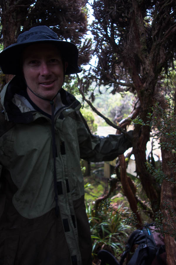
DSC04075

Hanging out under the scoparia at Haven Lake hoping it will stop raining

We got a short break where we wiped down the platform with the Chux so we weren’t pitching on puddles. Soon we were inside and dry. Yay. And that is where we spent most of the next 36 hours.

Day 4: 3.8km, 7:05am – 1:30pm = 6h25 including morning tea, lunch, not so much photo taking. Chapman’s estimate: 4-6 hours (excluding breaks)
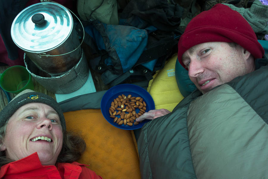
DSC04076

Happy hour… from the comfort of our sleeping bags

The weather wasn’t so bad that we couldn’t have moved on the next day, but as we had baked an extra day into the trip our pick up schedule meant we didn’t need to move. Our knees were happy for a rest day as well! There wasn’t that much rain but the wind gusts were significant. By mid-afternoon we got some blue sky and that with the wind meant we dried everything out. Unfortunately the wind was such that a side trip up Mt Aldebaran was out of the question. Tom was even getting optimistic of some sunset photography, but the clear skies didn’t last and by dinner time we were back in low cloud.

Day 5: 0km (well maybe 1km to walk back to the saddle below Mt Taurus and see the views we missed the day before)
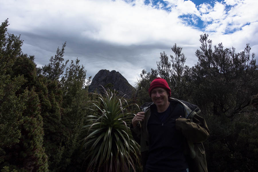
DSC04082

During a fine break on our day at Haven Lake we actually get to see Mt Taurus

Overnight it rained again and it was drizzling when we woke in the morning. Hoping it would clear we packed up and got moving. As we climbed up into the saddle above Haven Lake we realised how sheltered it had been (even if it didn’t feel it at the time). We were buffeted by the wind, and it was with much relief we dropped onto the other side of the ridge out of the wind. There were a couple more exposed sections of ridge walking where I wondered if it was possible to get blown off, and I was quite surprised when we soon arrived at Lake Sirona. We briefly sheltered in a crevice enjoying the respite from the wind and rain. Should we be out in it? Tom asked if we should take shelter, I figured we were already pretty wet so should just keep moving and stay warm. The wind and rain intensified and the visibility dropped. And just when I was questioning the decision to push on the sky lightened in places and we started being able to see more than a few metres in front of us.
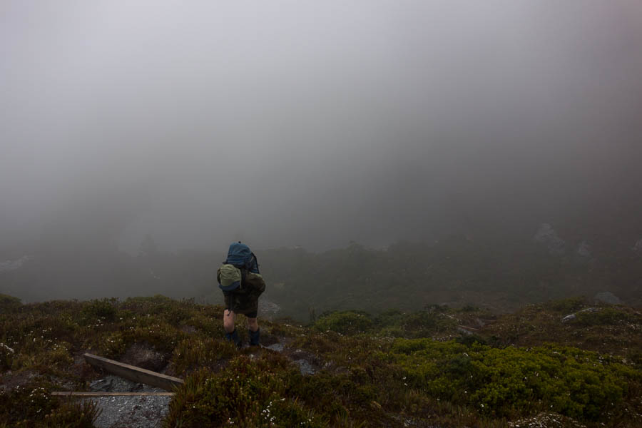
DSC04089

Leaving Haven Lake in the wind & rain on day 6
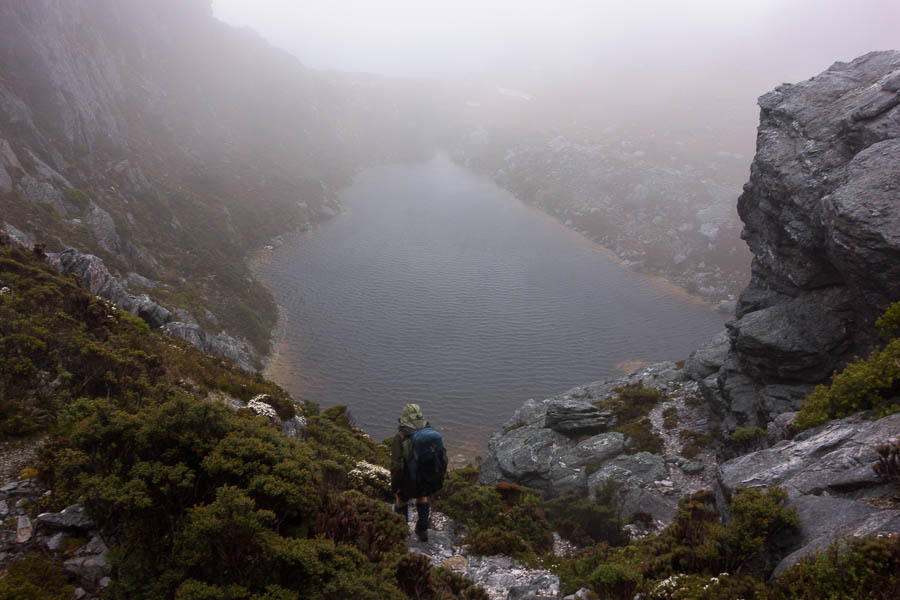
DSC04095

Descending to Lake Sirona in the wind & rain, fortunately having not been blown off the exposed ridgeline

The daunting ridge line of Mt Scorpio popped out of the cloud. The notes had said we needed to climb an exposed, rocky, rib. Not exactly ideal conditions for it. Our trepidation was much worse than what actually needed to be done and we were soon over the rib and staring down Kappa Moraine (“K”) our descent point from the range.
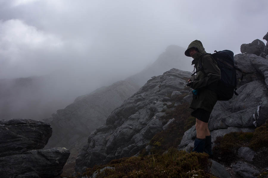
DSC04096

Mt Scorpio suddenly appears out of the clouds. Which part of the exposed, rocky rib do we need to climb?

Taking advantage of a break in the weather meant morning tea with views over Promontory Lake, Lake Vesta and Lake Juno. Then the rain returned and we slogged down the unprotected Kappa Moraine ridge line.
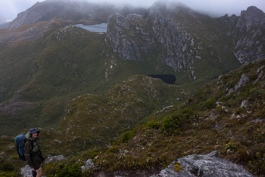
DSC04106

In slightly clearer conditions we get views of Promontory Lake, Lake Juno and Lake Vesta
DSC04108

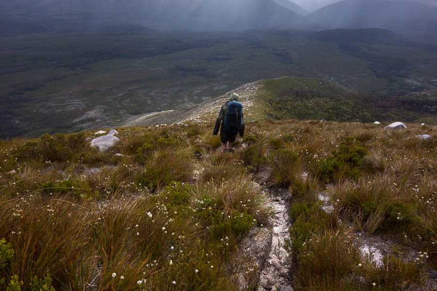
Descending Kappa Moraine

By the time we turned off for the cross-country shortcut the rain had stopped, and the wind felt like it would dry us out pretty quickly. The cross-country route went fairly smoothly other than briefly getting caught in the scrubby banks of Seven Mile Creek. By lunch the wind had done its job and we were completely dry.

The last few kilometres to Junction Creek were a slog. Though a large tiger snake on the track had me leaping about with energy (briefly)! We were both tired. I had spoken the night before of potentially walking all the way back to the car park but even if it had been pouring with rain I’m not sure I would have had the energy. Fortunately the day had cleared to be quite pleasant and we had a lovely final evening at Junction Creek.

DSC04124

The day clears so we have a pleasant camp at Junction Creek

Day 6: 14.5km, 7:30am – 3:30pm = 8 hours including very few photos early on, morning tea, lunch. Chapman’s estimate: 6-7.5h (excluding breaks)

Our final day was just retracing our original steps back to the car park. Only 7km, but not the easiest walking. The weather the same glorious still day with blue skies that we’d had on our way in. It would have been lovely to be up on the range!

Day 7: 8.4km, 7:50am – 10:40am = 2h 50 (no breaks) Chapman’s estimate: 2-3.5h (excluding breaks)

Colo Passes 12 & 16 (14-15 Nov 2020)

This trip had been put on the Spring Program with no real plan, other than knowing there were plenty of passes into the Colo which I wanted to explore. Eventually I settled on two new passes (to me) – Pass 12 aka Snakebite Pass and Pass 16 aka Meander Pass. Other than myself and Tom no one else in the group had been into this part of the Colo before. It’s always tricky trying to set expectations for what to expect when a) it’s exploratory and b) people can only process information within their existing frame of reference.

I predicted the Canoe Creek car park would be empty so I was little surprised to find 3 cars there already! Not that I expected to see the occupants since our route was going to be well away from the standard routes in the area. We started off walking out along the ridge to Alidade Hill. A lovely ridge which eventually opened up to give us a good views of where we would exit the Colo on Sunday. I was using a map Tom had acquired from an old club member that had annotations on it. They suggested there was a log book at Alidade Hill (or at least had been in 2002 when the notes were made), but a couple of us had a look and couldn’t find it. Of course, as we were about to set off again, Tom managed to locate it at first glance.

DSC03727

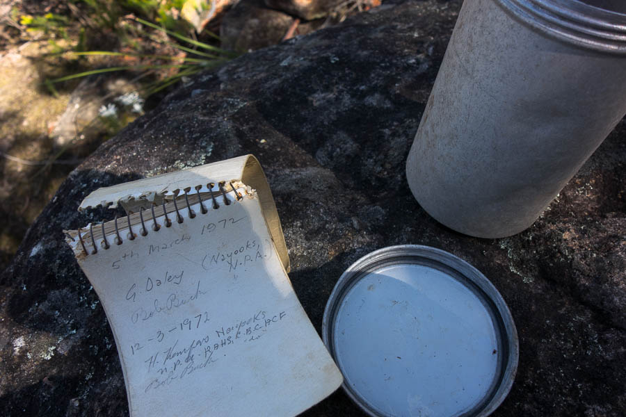
Some fabulous history!

I was disappointed I didn’t have more time to peruse as it went all the way back to 1972. The first entry was from Bob Buck and G Daley who were responsible for the original Colo Pass naming and map. The logbook only had 3 entries in it since 2012, the last being 2015, so I guess either Alidade Hill doesn’t get many visitors, or no one finds the logbook.

Descending Alidade Hill we were soon on the adjoining spur looking down the steep gully which was (the original) Pass 12.

DSC03733

Pass 12 is somewhere down that gully on the right

In the context of Colo Passes it ended up being a straight-forward descent – steep, but no particularly technical or exposed sections. The highlight (for Lauren at least) was a hole some of us squeezed through in the gully. Eventually we arrived at the top of, an expected, impassable (dry) waterfall where we had lunch.

DSC03739

Lunch at the top of an impassable waterfall

It didn’t take long after lunch before we were standing on a delightful (if very glarey) Color River sand bank. I had warned the group it could be a short day if everything went well. Time had been built in for back-tracking if we couldn’t get down the pass. However, as it all went smoothly we arrived at the river shortly before 2pm. A swim was definitely the first item on the agenda.

DSC03740

Enjoying a well-deserved swim

Once we were refreshed we had a fun time boulder scrambling up Pinchgut Creek to get to a scenic waterfall.

DSC03750

Lauren enjoying the waterfall ambience

DSC03754

Tom and the waterfall

DSC03756

The team enjoying the cooler temperatures

The sun eventually crept over our sandbank allowing us to set up camp and relax. It was a wonderful night for star gazing, no moon light, a clear view of the sky and warm enough to just stretch out on the sand. We spotted many satellites, two shooting stars and a couple of planets. It was almost a shame to retreat into the tent.

DSC03769

Home for the night

Everyone slept well in the serene surrounds, even if the lyre bird’s wake up call came fairly early in the morning. I was impressed we (almost) got away on time, given how late everyone was to emerge.

DSC03773

Early morning on the Colo

DSC03776

Getting wet feet immediately!

The Colo had risen over night – my guess was from the thunderstorms on Friday afternoon. Initially we stuck to the true right bank as the river looked deep, dirty and not particularly attractive to be in. The going was typical river bank – through river gums, over boulders – generally giving you a good work out. Tom eventually got jack of that and decided to run some rapids floating on his pack.

DSC03778

Beautiful gorge country

DSC03780

Lauren looking upstream

From there we had a divided party for the rest of the morning, with Tom, Lauren, Paul & Clive mostly in the water and Jo & myself largely on the banks.

DSC03788

Tom & Lauren (the swimmers) waiting for the rest of us
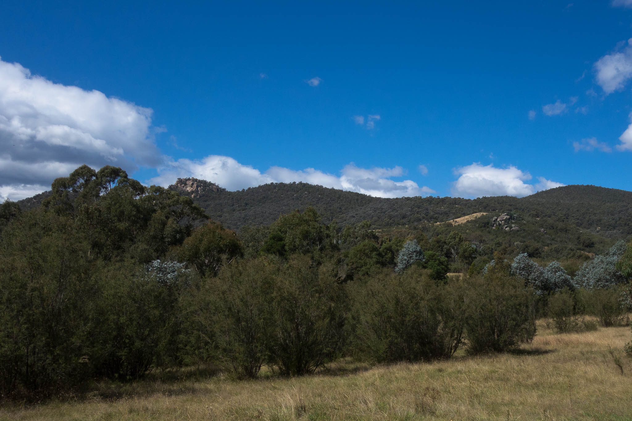
The swimmers missed out on seeing a diamond python which was not interested in going anywhere, but I’m not bold enough around snakes to have pushed my luck taking photos of it.

DSC03790

No track here!

DSC03791

Clive on a sandy section

DSC03795

The team negotiating a set of rapids

DSC03800

No better place to be on a day like this

Near the Canoe Creek junction we passed a group huddled in a small shady overhang. Further down we passed a fire place which hadn’t been doused, with copious amounts of foil in it. Fires on the sand hold their heat for an incredibly long time, and this was one was very hot. Several litres of water later we were comfortable it was out properly and it wasn’t long before we were at the junction.

DSC03803

Clearing foil out of, and putting out properly, another parties campfire

After lunch the party from the overhang arrived. They said there had been several groups camped around the junction the previous night, which I assume is why they had ended up in the spot we’d seen them – a not particularly large or flat sand bank. Turned out one of them was the daughter of one of our club members. We exchanged a few anecdotes about her Dad and his fishing before we headed off to tackle Pass 16.

DSC03806

Tom hauling packs on Pass 15

Pass 16 starts using the bottom of Pass 15, which Tom had done twice previously. Tom hadn’t remembered any tricky bits in the lower section of Pass 15, but we found ourselves at a spot which required pack passing. This was perhaps a warning of what was to come. I was possibly lulled into a false sense of ease after Pass 12, along with the description of Pass 16 which said “a steep but relatively easy climb. Rope not required”. What we ended up doing didn’t bear too much resemblance to the Pass 16 description!

DSC03807

Views of the bend

Not too much further on Tom managed to climb a steep slab and put down a tape for the rest of us. By this point the heat was getting to one of the party, so we had a long break in a conveniently located shady cave. It was a warm weekend – the forecast for Richmond was low 30s.

DSC03812

Jo scrambling up a steep section

DSC03813

We were over there…

Fortunately from there we were able to stay in a relatively shady gully, with nice rock slabs to scramble up.

DSC03815

Dunking hats in a convenient pool of water to try and keep cool

With plenty of breaks to ward off heat stroke we eventually made it up to the main ridge, and then followed it North-East. There were increasingly good viewing platforms which gave us a good view over the route we’d taken for the weekend.

DSC03820

Colo country… (Jo knows what’s really going on in this photo!)
DSC03821

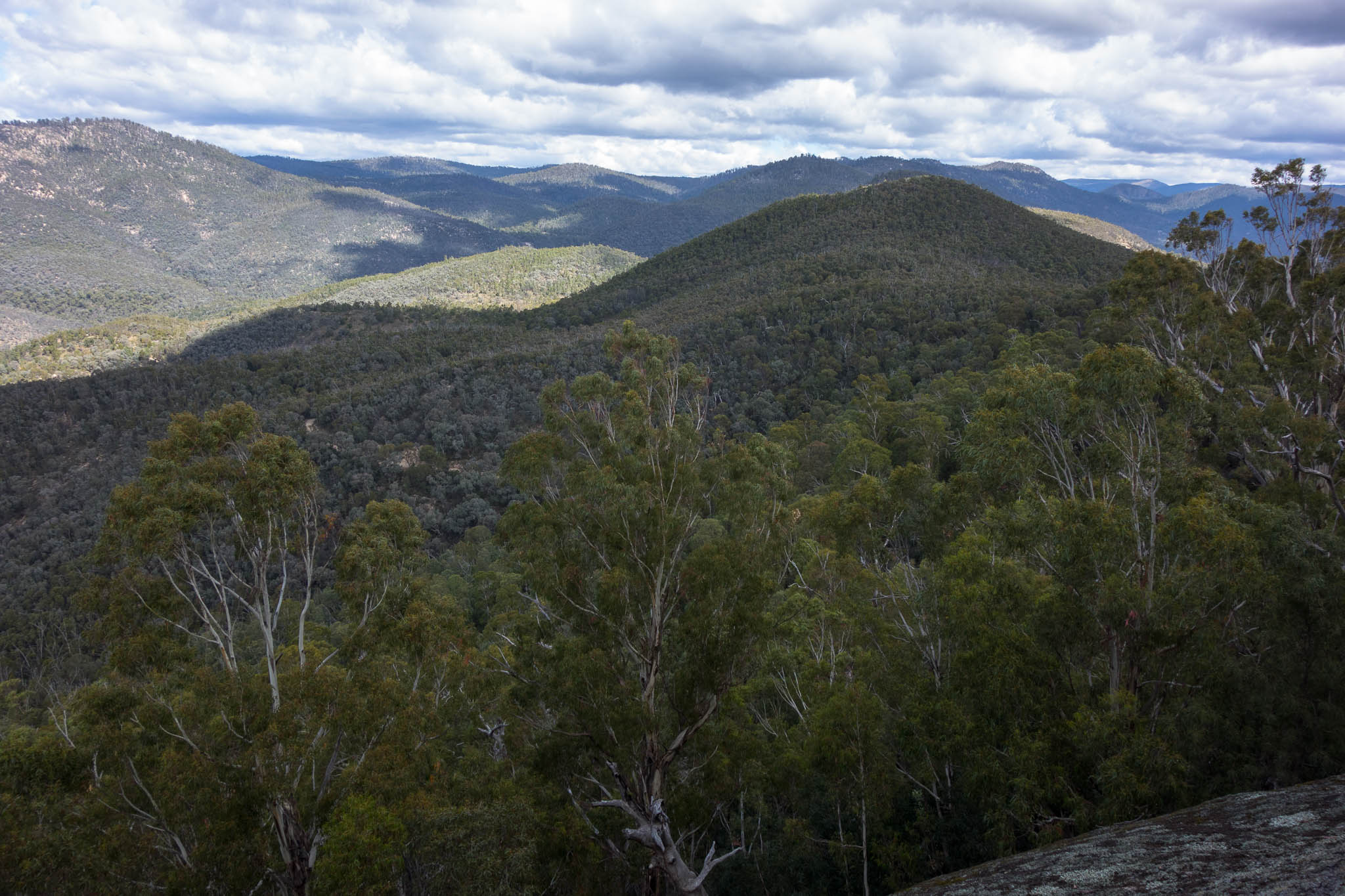
Big rock platform

Paul had impressed everyone by not only pulling out Chupa Chups the night before, but remembering the flavours that Tom, Lauren & I had favoured on a previous trip! We had a break once we hit the old fire trail for those of us who’d stashed our Chupa Chups to get them out – a welcome treat while we covered the last few kilometres. Unsurprisingly our cars were the only ones left in the car park at 7pm. It was good to get everyone back intact after a fabulous weekend in rough and rugged country.

DSC03822

Finally back at the cars at 7pm

First 24 Rogaine (7-8 Nov 2020)
Like many things this year the Rogaining calendar has been quite disrupted. I thought I might end the year with no rogaines after leaving it way too late to find a partner for the Lake Macquarie Rogaine. However the wild weather which forced our change of plans last weekend opened up a rogaine opportunity for me. The ACT Championships were meant to run on 30 Oct/1 Nov but were postponed due to high water levels in the surrounding creeks cutting off access to waterdrops. So when Vivien messaged me a couple of hours before the new registration deadline it didn’t take much convincing, particularly when he said his preference was to go back to the hash house to sleep for a bit in the middle of the night.

I’ve previously done a couple of 12 hour rogaines, so it didn’t seem like this would be significantly different – except I’d have to get up the next day and do more! I was mainly worried we’d get the map and find that doing two loops from the hash house wasn’t practical… fortunately a single glance at the map relieved this worry. We didn’t leave ourselves a heap of time for planning, but maybe it’s better not to over think it.

Rogaine Map

IMG_9949-X3

Vivien & I planning

As a covid measure the 24-hour event started an hour before the 8-hour event. Even so there were quite a few of us heading for the same control to start with, but by the time we left our second control we were on our own. Thinking we’d chosen an obvious route I was a little surprised, but not unhappy – much easier when you’re only worrying about your own navigation.

It all went pretty well, in fact we were perhaps both a little disappointed at how easy we found the nav – particularly in the daylight! Things got a bit slower once it got dark – with roads not quite being what was on the map, and spending three times longer than we should have trying to find our last control on the way back to the hash house (but we did get it in the end). Vivien’s navigation as always was excellent. After smashing some cheese toasties and pumpkin soup I dived into bed right on midnight – wondering if the giant blisters on my feet would permit me to walk in the morning.

Given our later than planned arrival back we generously gave ourselves a 6am wake-up time (instead of first light), not that it made much difference the birds woke me before 5:30am. By 6:35am, with blisters taped, we were on the road again for our Southern Loop. This section of the course had a lot more tea-tree which was pretty unpleasant to fight through, but we persevered. Much to my relief we got back about half an hour before the course closure so no need for any running – not sure my left hamstring would have let me even if it had been required.

We came in a respectable 7th overall, and the highest scoring for those who didn’t go for the full 24 hours. Mapping our route when I got home I came up with 43km for our 11.5 hours on Saturday, and 18km for our 5 hours on Sunday. No wonder I was sore at the end of it!

not wet Wild Dogs (30 Oct – 1 Nov 2020)

We piked on plans last weekend due to the forecast. Unfortunately the East Coast Low was hanging about and the forecast for this weekend was just as bad! I didn’t really want to pike two weekends in a row, and this weekend Tom was leading a qualifying walk with the club. After ditching a walk in the Colo River (literally) due to the deluge in the days leading up to it, Tom gave the participants an alternative option in the Wild Dogs. If he got 3 takers we’d go ahead. I think we were both hoping no one was keen. But despite the 8-15mm of rain forecast for Saturday we got 3, giving us a group of 5.

The thunder rumbled menacingly around us as we walked along Ironpot Mountain. We could see the squalls not far off. The jackets went on as we briefly got pelted by hail for about 2 minutes…. and that was really the only precipitation we had to deal with all weekend. Good thing we didn’t pike!

DSC03684

Rain was all around us

The temperature warmed up, the sun came out.

DSC03687

But in the end it was a surprisingly hot, sunny day!

Next minute Tom had his gear off and was swimming. Who’d have thought it? (the swimming, not the getting his kit off)

DSC03689

or should that be moon-y day… 🙂

DSC03691

The Coxs had some good flow going on

The section along the Coxs was pretty weedy and somewhat slow going. When we found a good campsite at 3pm there was a fair bit of indecision as to whether to camp, or continue on.

DSC03696

I think this is a baby capsule, scary to imagine the river at that height!

Another good decision to set up camp and just do an excursion to Merrigal Creek. It was 1km away. About an hour return said Tom. Well, over an hour later we made it to Merrigal Creek having encountered some interesting scrambling along the river bluffs.

DSC03699

Some fun scrambling on our afternoon excursion

It was 5pm. What are we doing an hour from camp instead of having happy hour!? We took a (somewhat) higher road to avoid the bluffs on the way back. I’m not sure it saved us much time but sometime after 6pm we were back at camp.

DSC03701

Merrigal Creek – after a fair bit of effort

DSC03702

Wading through the weeds on our way back to camp

Most of us had a swim to freshen up, and then we settled in for a pleasant evening around the fire. One of the side-effects of a late arrival at camp is that it is easy to get to bushwalkers midnight and beyond.

DSC03703

Pleasant campsite

Day 2 started with a 580m climb, followed by morning tea at Knights Deck. I had been concerned we’d overheat after the weather the day before – but Sunday was overcast and cool. Perfect for all the hills we had.

DSC03705

day 2 was all about hills and wild flowers

DSC03708

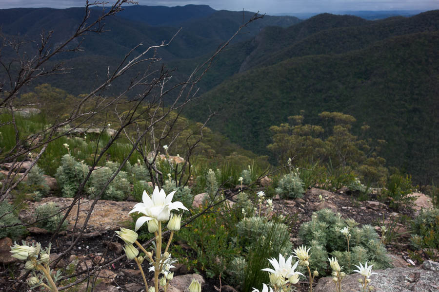
The flannel flowers at Knights Deck were incredible

DSC03709

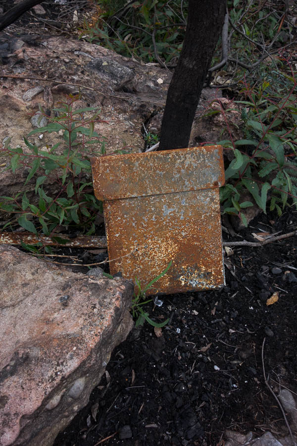
The remains of the logbook container (new one needed!)

DSC03710

More views & flannel flowers

DSC03714

A different pose!

DSC03715

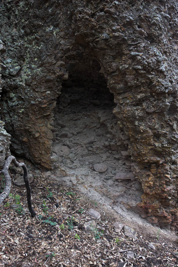
Only real option for shelter had it been raining

DSC03716

Funky shapes in nature 1

DSC03717

Funky shapes in nature 2

DSC03720

Breakfast Creek

A great weekend out in good company – particularly when we’d all been expecting to be rained on most of Saturday!

1 4 5 6 7 8 14