I have walked the Kanangra to Katoomba route three times previously – way back in 2007 as a 3 day trip, (& photos), in 2017 in 1 day and then in 2018 as a 2 day trip. I thought I had a complete set, but with the devastation caused by the bushfires in 2019 and subsequent regrowth changing the nature of the walk, I now have a new version.
When I saw Huw had put K2K in 3 days on the program for the weekend after Easter it seemed a way to make up for my lack of exercise over Easter. I was also keen to see what the scrub was like as it’s always hard to judge what other people’s scrub meters are set at.
I vividly remembered how destroyed I’d been at the end of the 2018 trip so I was counting every gram that went into my pack – probably resulting in my lightest overnight pack ever – 7.1km base weight (excl food and water).
The taxi arrived to drive us out to Kanangra. I was pretty nervous when the driver said he’d never been there and hoped we’d be able to give him directions. Muttering to Huw “does he realise we’re going out on a dirt road?”, Huw’s reply of “well, he’ll find out” didn’t instil a lot of confidence. When we eventually got to the Kanangra Walls turn-off the driver was about to pull over and drop us off! Huw, non-plussed, says “oh no, it’s another 20km along here”. To his credit the drive didn’t bat an eyelid as we hit the dirt – unfortunately the road isn’t in great condition currently and wasn’t helped by being very wet. However, we made it to the Walls car park with only a few hard pot hole hits and the driver was paid and on his way back to Katoomba.
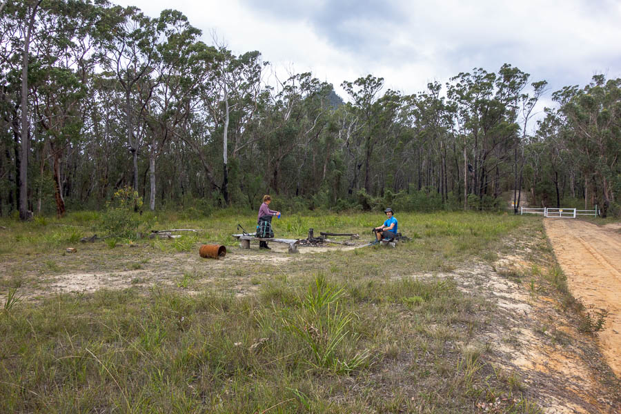
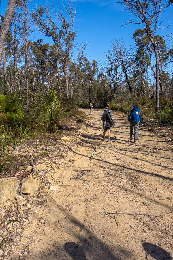
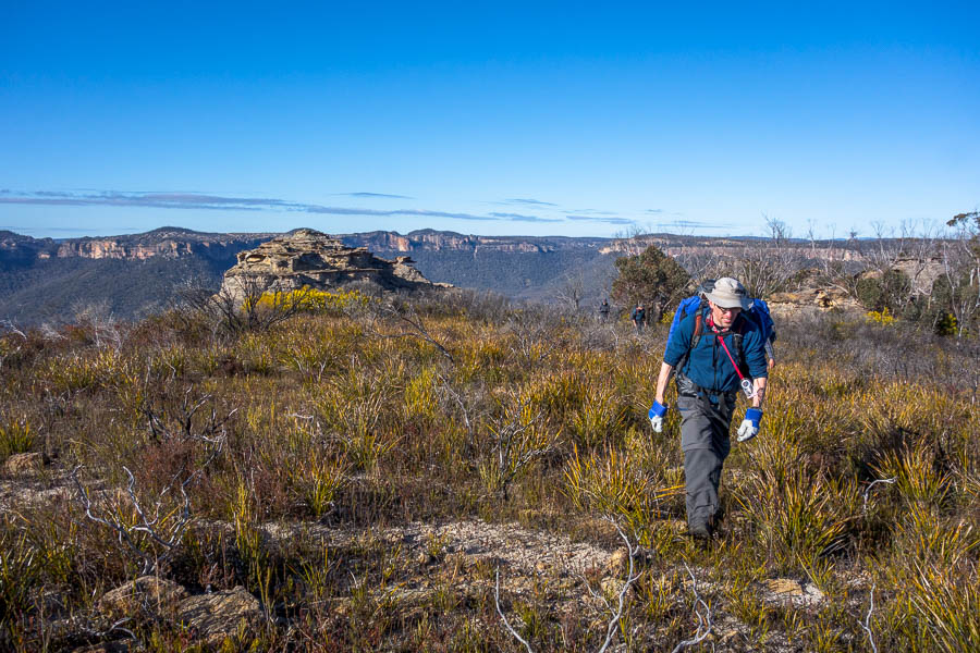
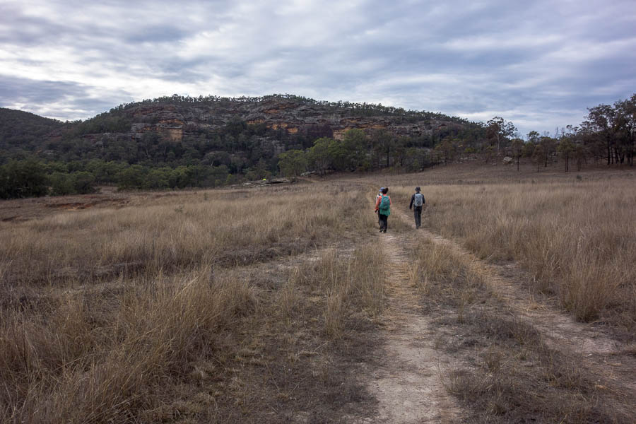
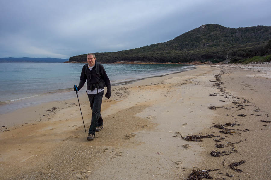
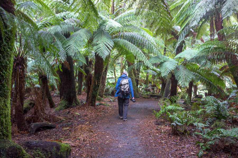
The drive had been somewhat slower than expected so we didn’t start walking until just before 10am. Given the low cloud there wasn’t much point going to the lookout even though Jonas hadn’t been there before.

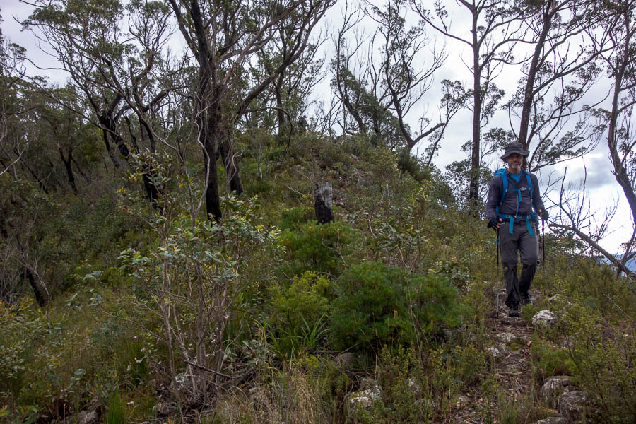
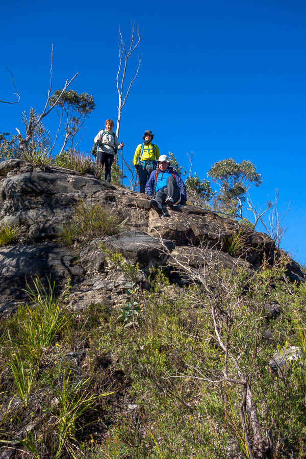
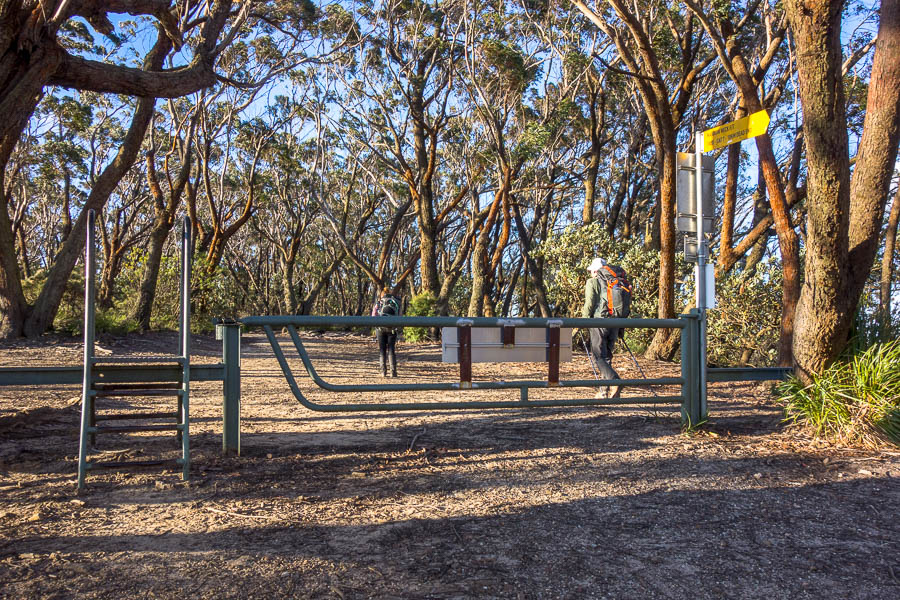
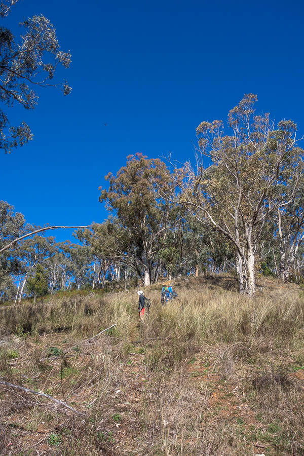
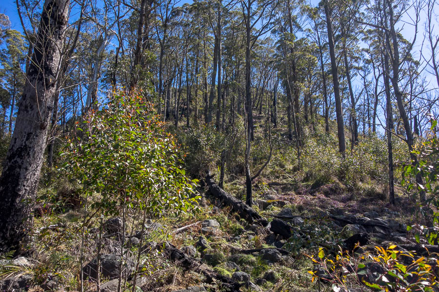
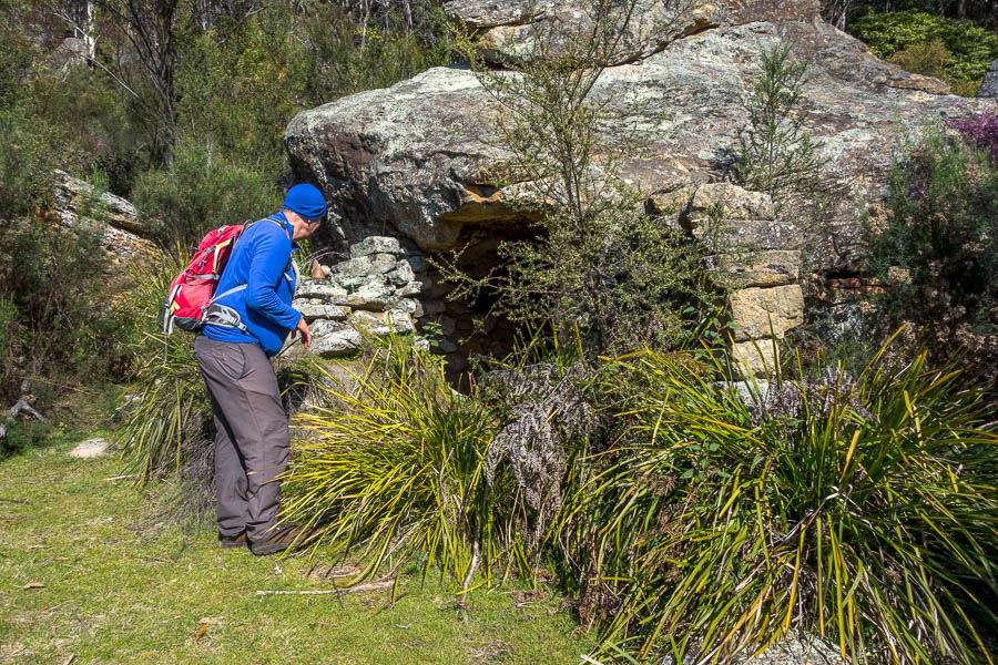
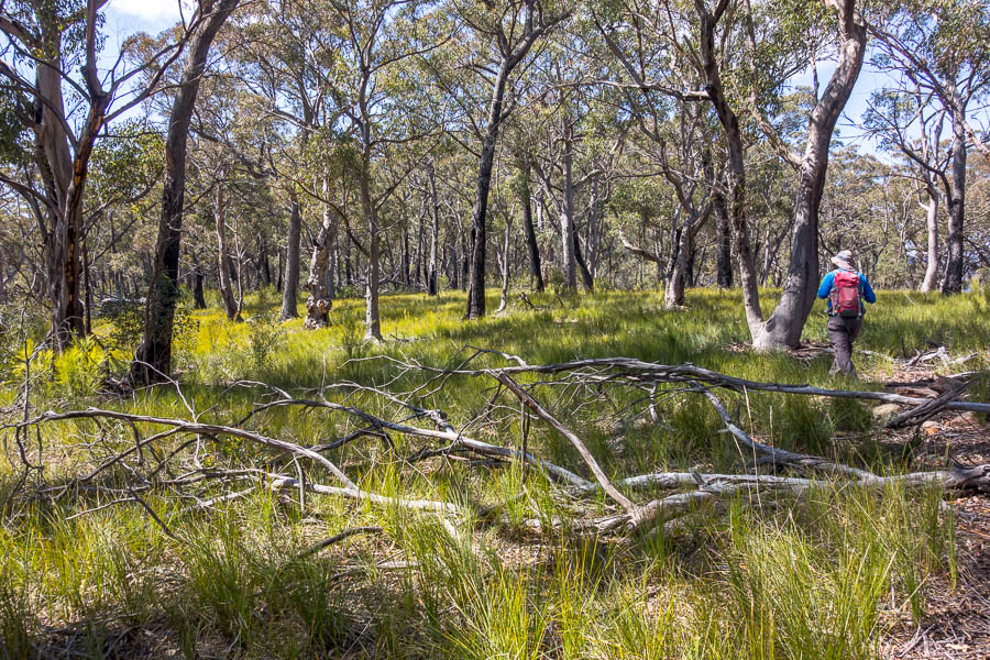
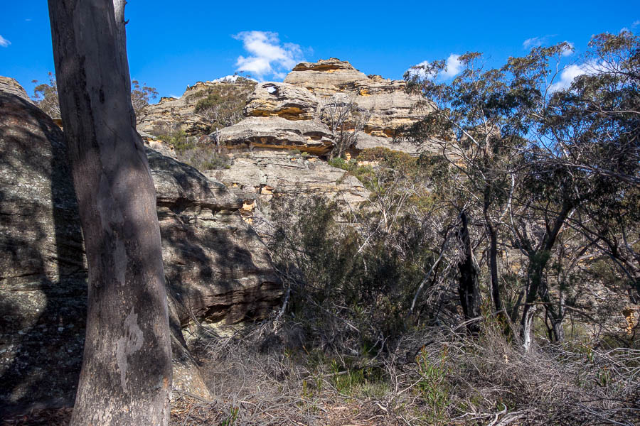
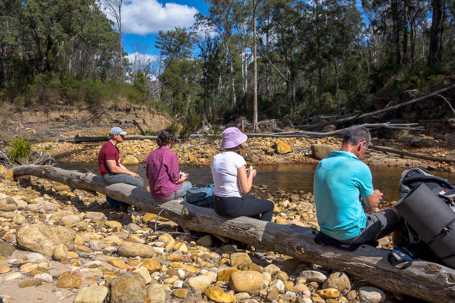
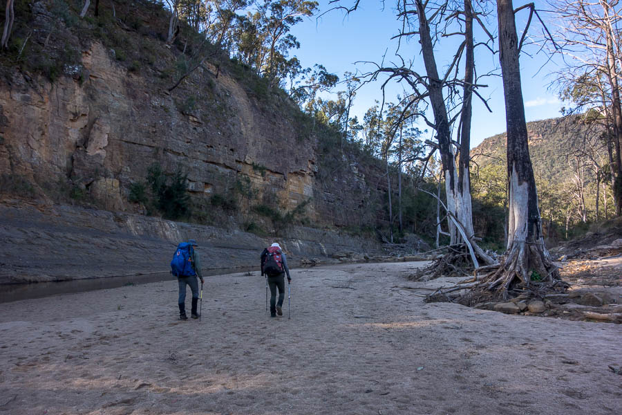
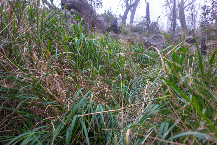
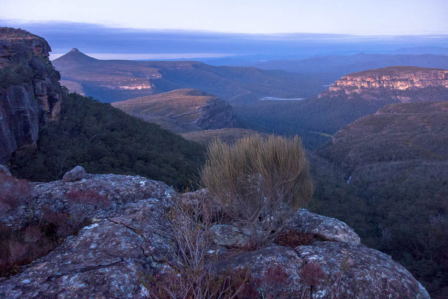
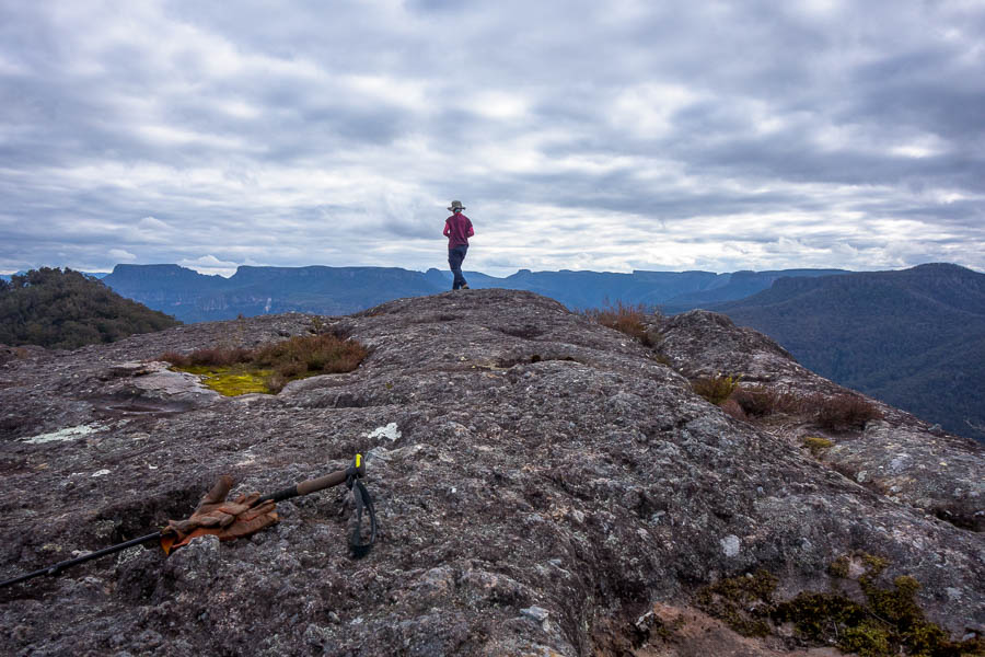
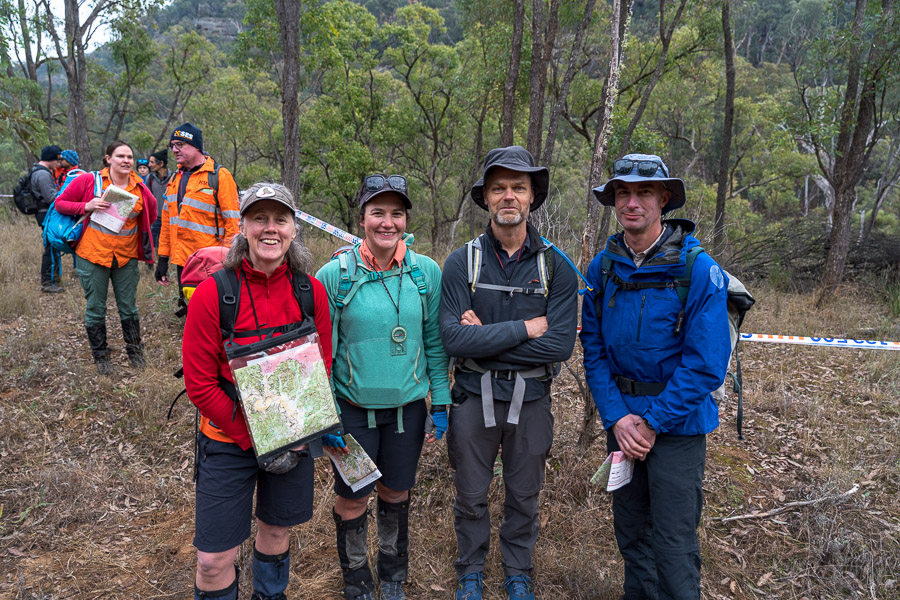
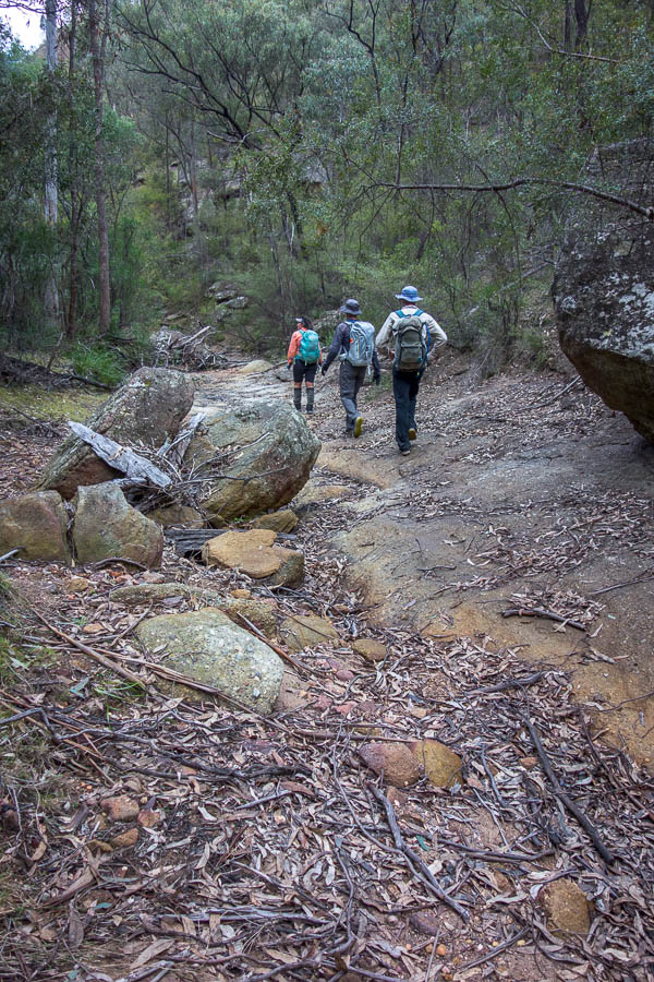
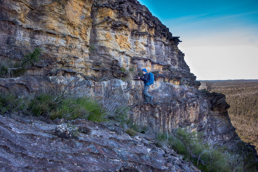
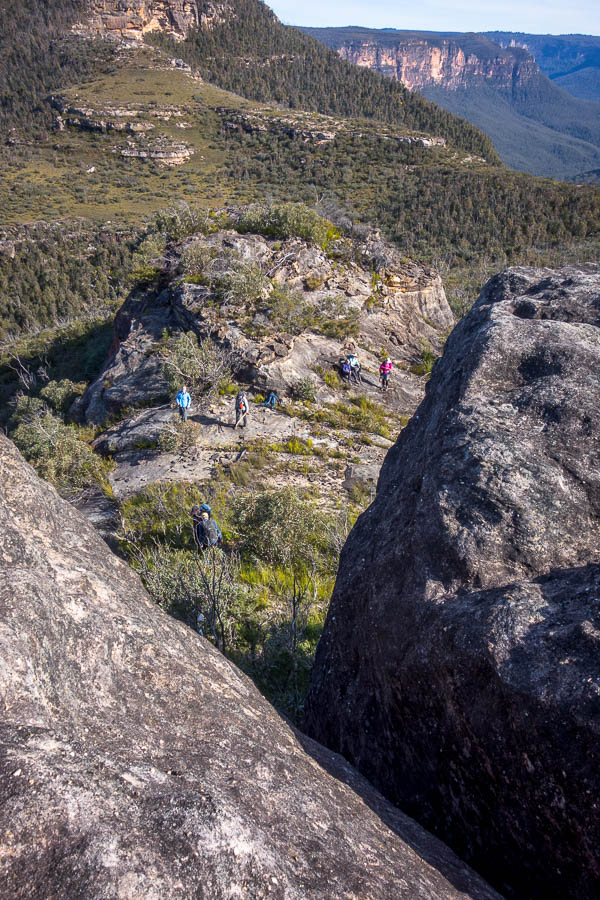
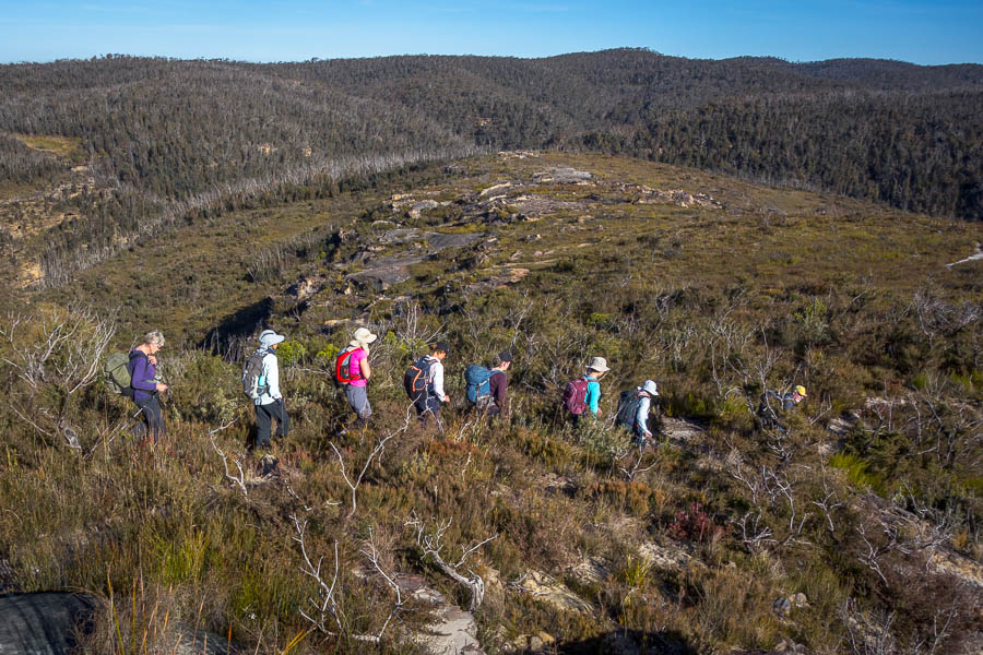
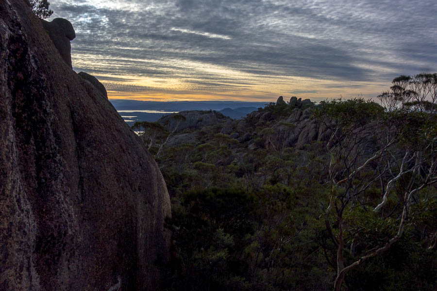
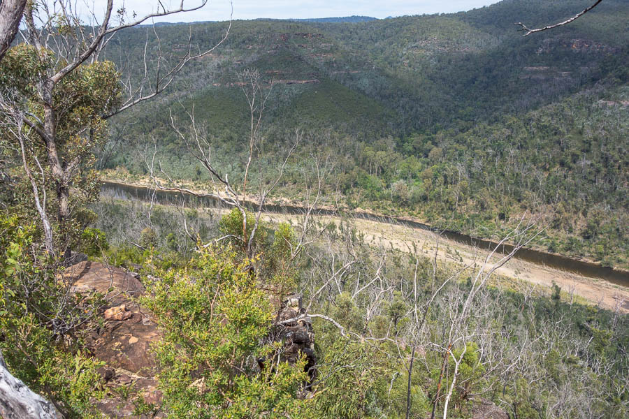
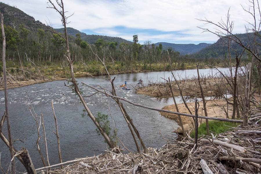
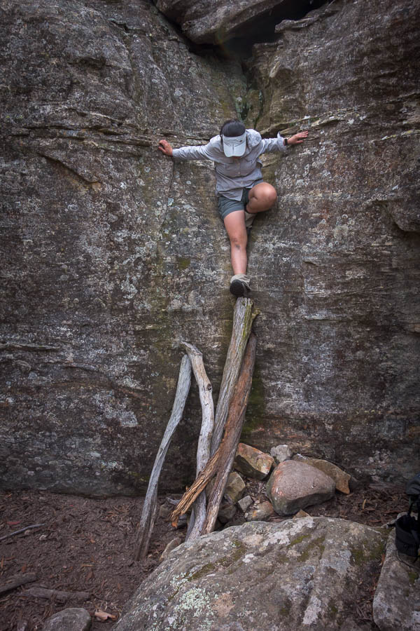
A somewhat gloomy, damp start to the trip
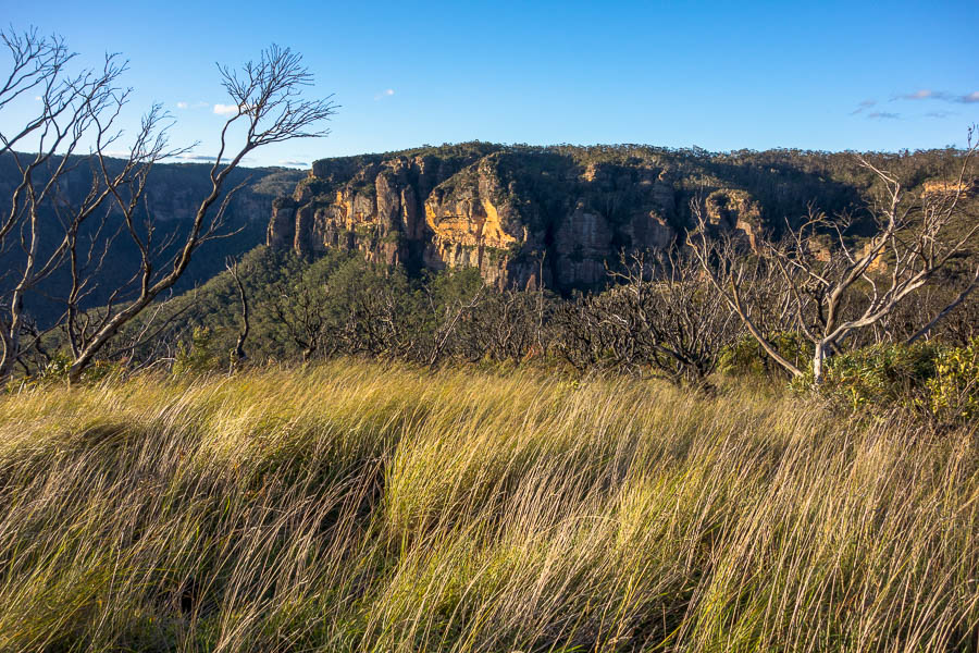
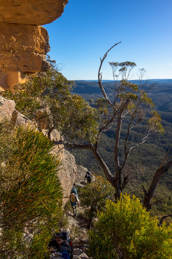
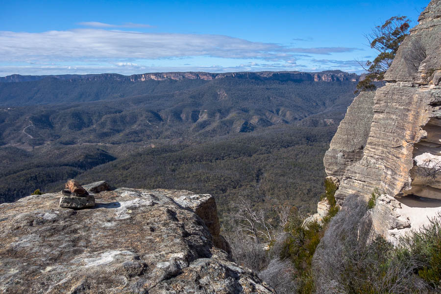
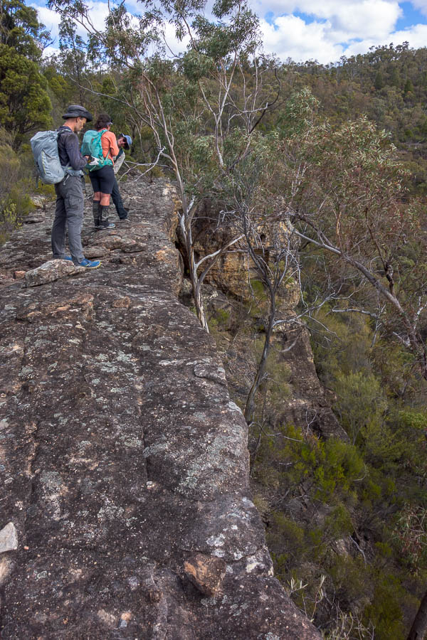
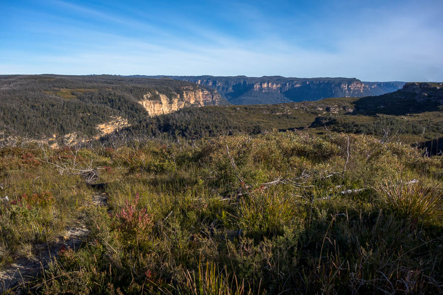
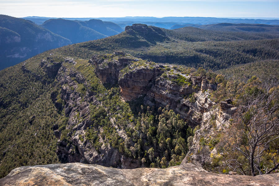
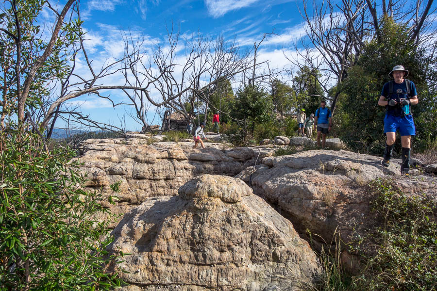
We were a bit surprised to head down the steps and find a radio blaring with nobody in sight. The workmen’s cars were the only other ones in the car park and one of them appeared a bit further along the track. A lyrebird further up the track provided a much more enjoyable soundtrack! The views also popped in and out as we wandered out to the plateau.

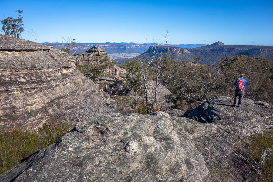
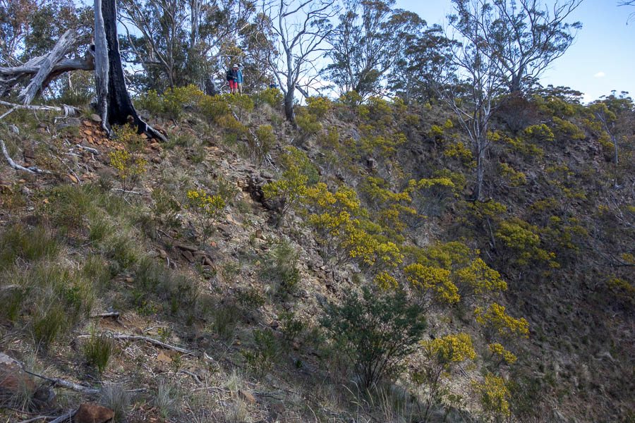
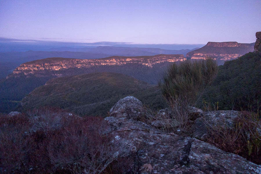
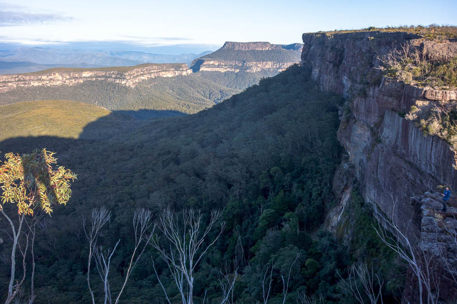
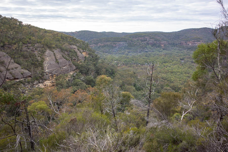
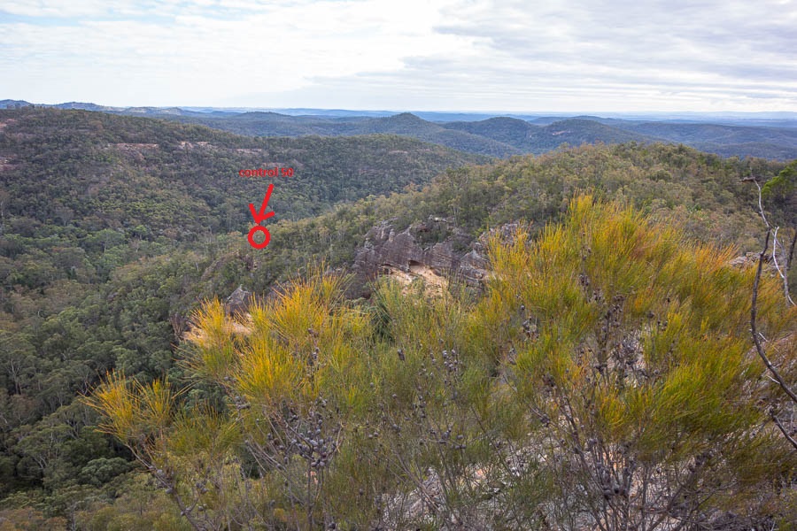
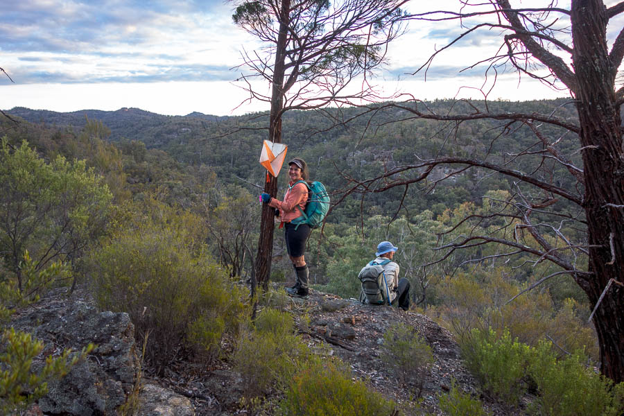
A few views trying to break through the cloud
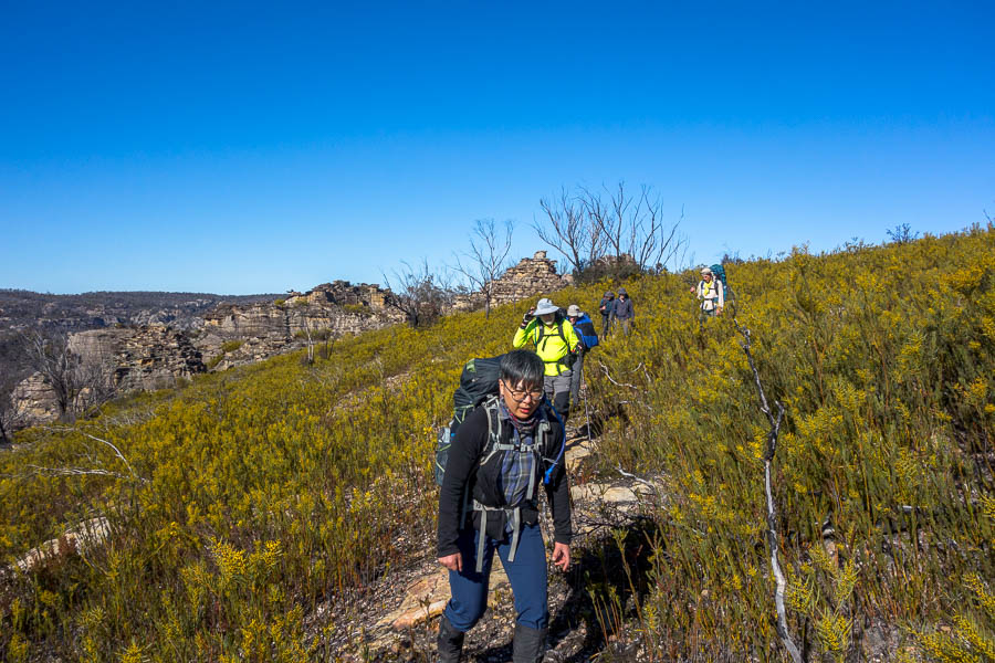
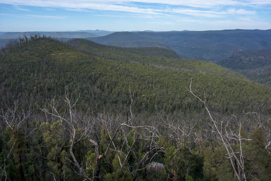
The plateau is a lot more open than it used to be – the banksias which burnt haven’t rebounded and it feels like it would be harder to lose people at the moment.

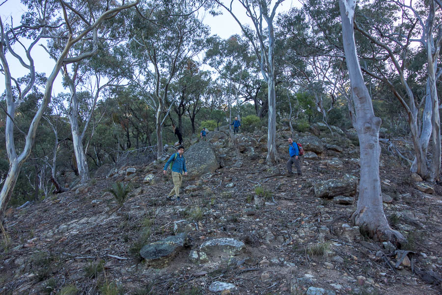
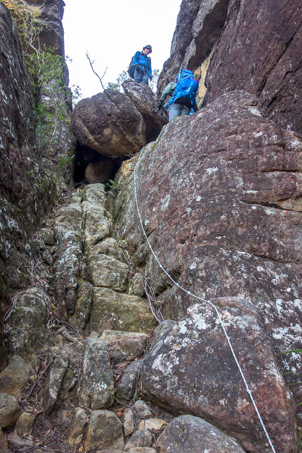
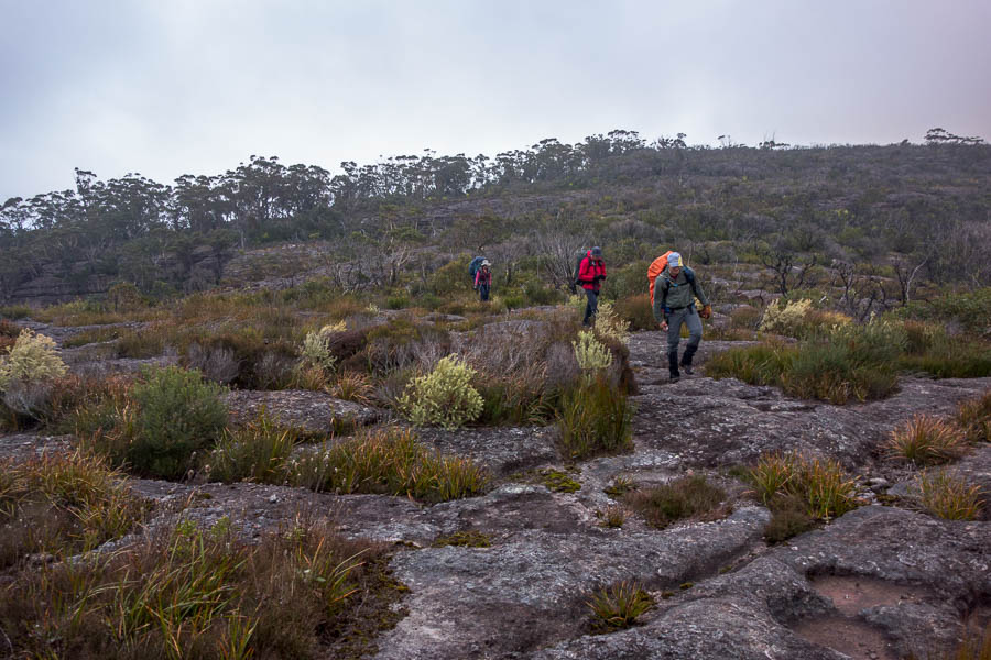
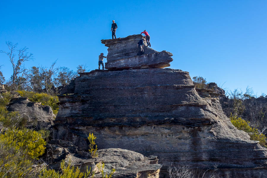
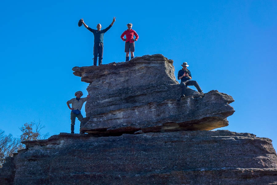
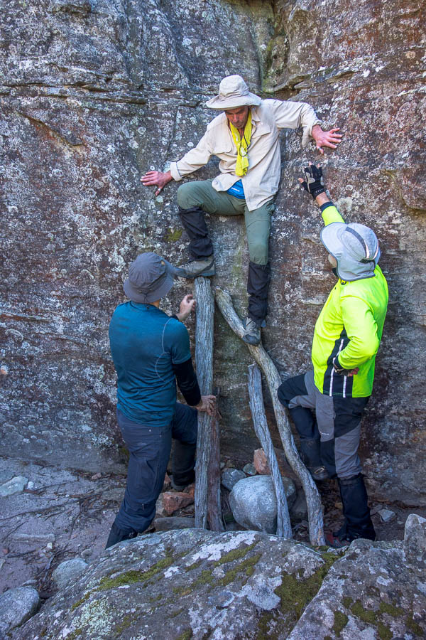
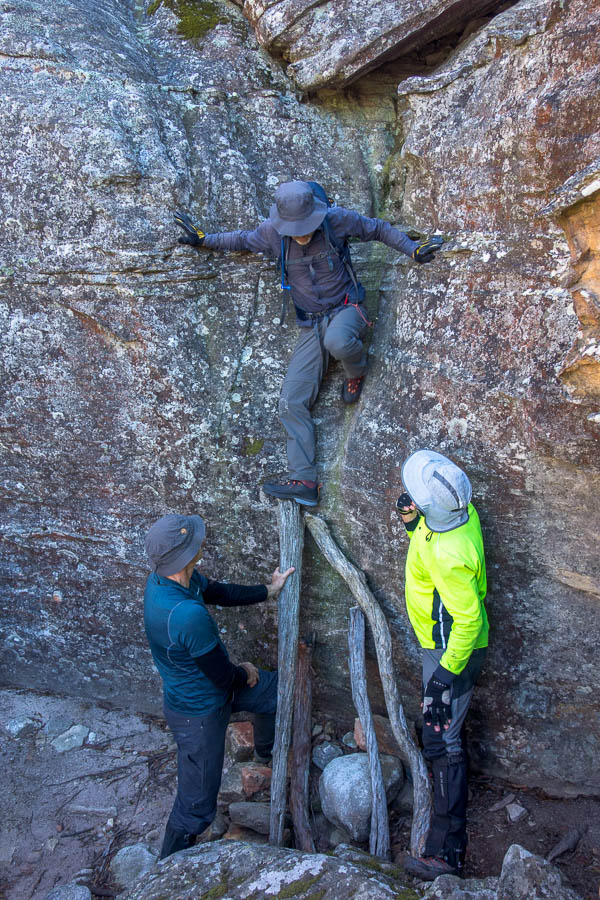
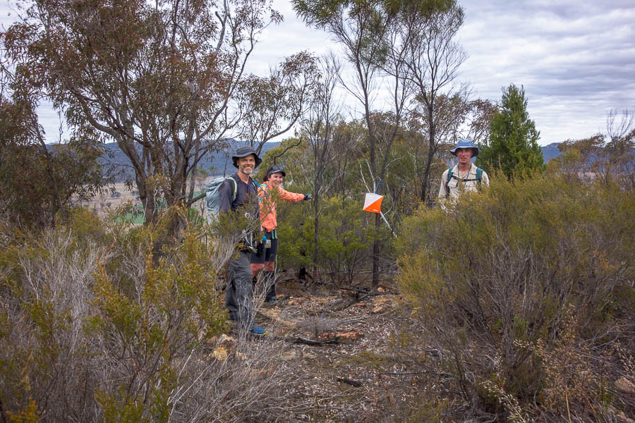
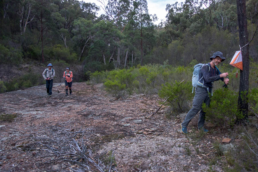
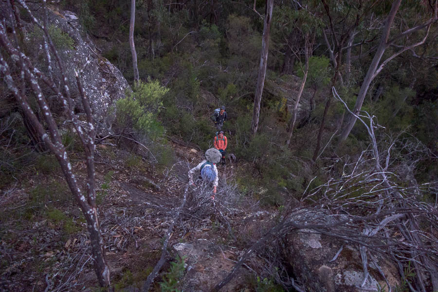
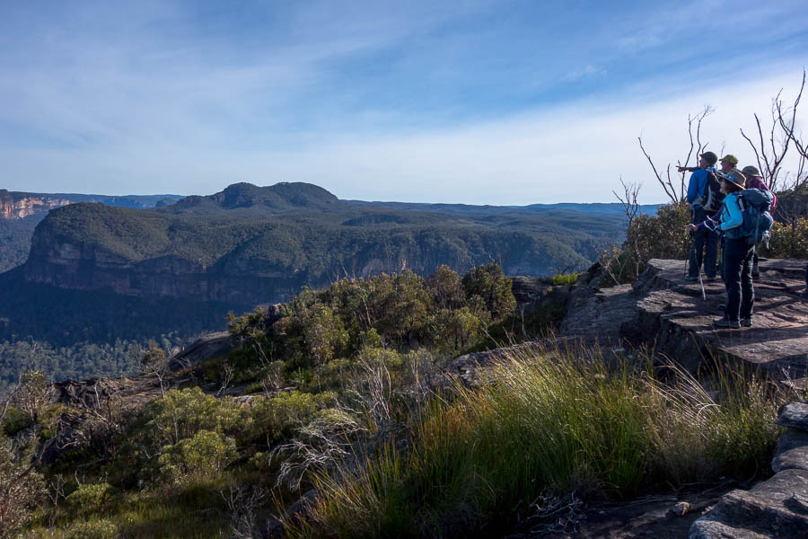
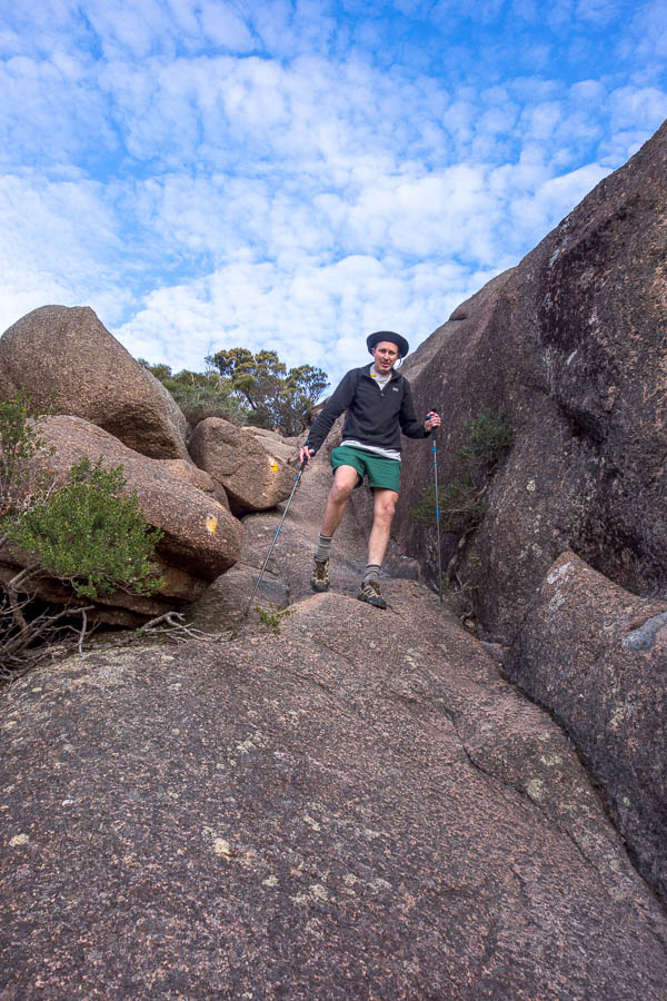
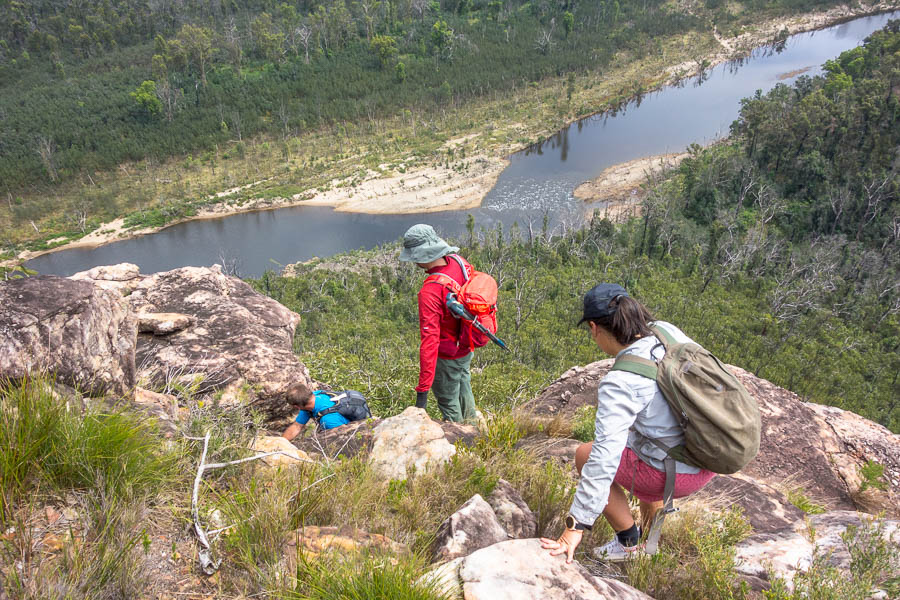
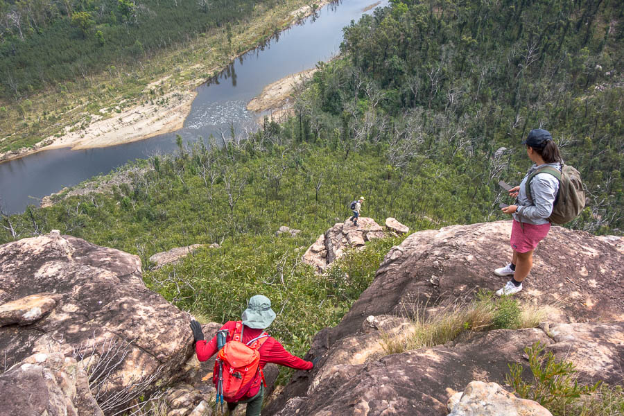
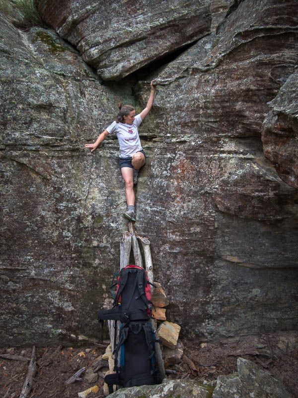
The team climbing up to Brennan Top

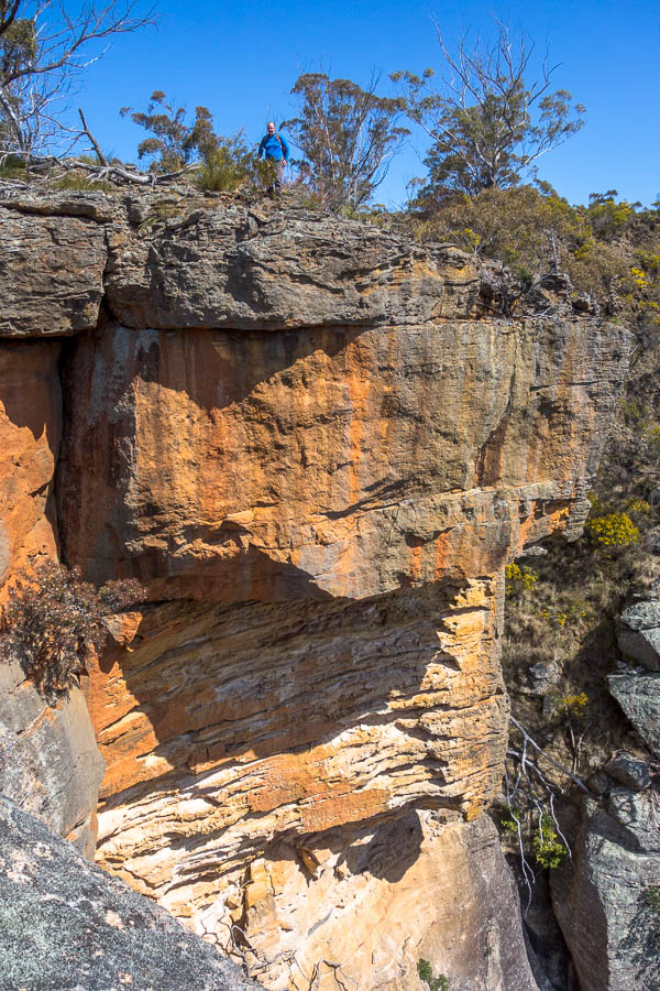
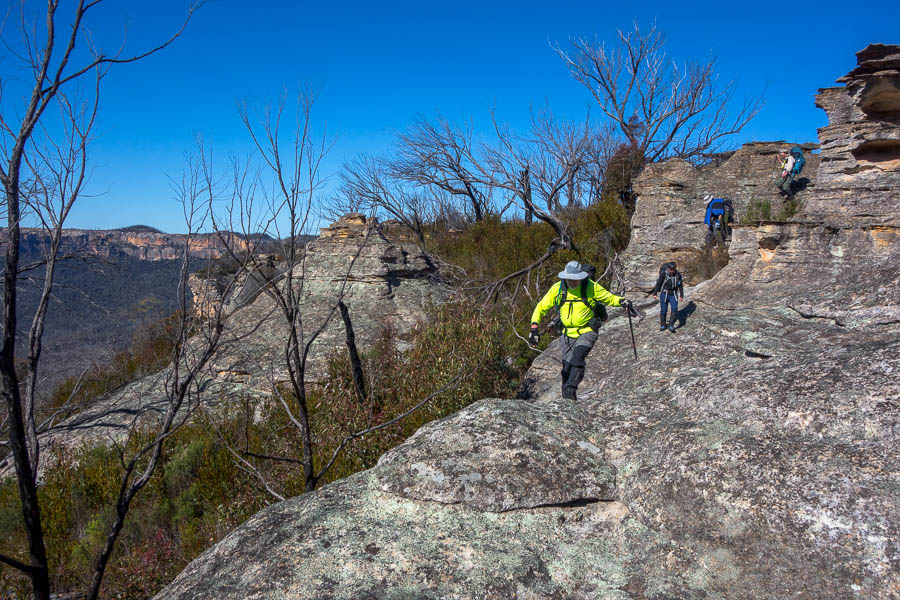
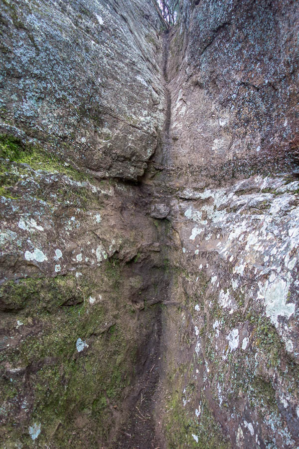
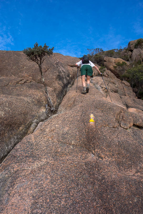
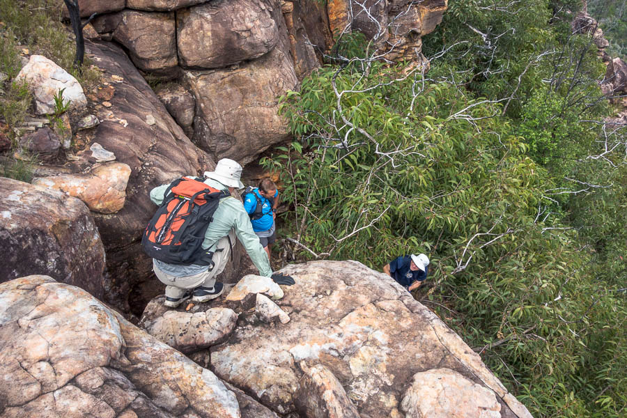
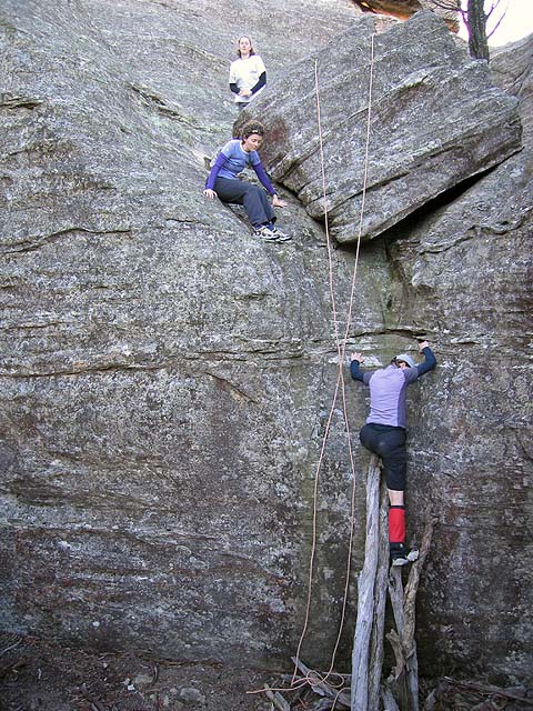
Slippery Gordon Smith Pass
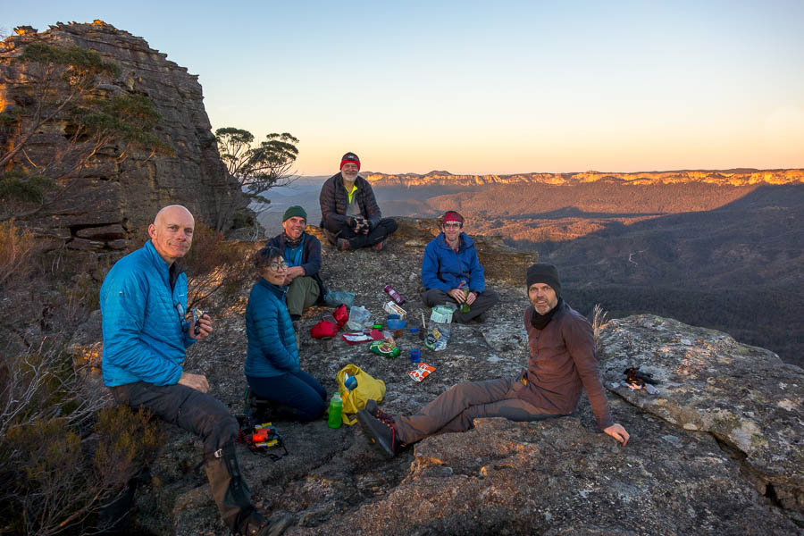
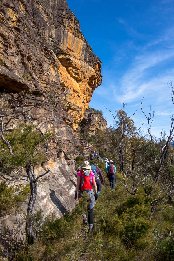
We had a late morning (only just) tea at the end of Crafts Walls around 11:45am. Then it was on, over all the familiar ups and downs. The descent into Gabes Gap was quite vegetated, though no problems finding the track. We had a late lunch on Mt High and Mighty – glad that the weather seemed to have cleared up. Unfortunately a new bout of rain swept through as we were going up the knolls so the raincoats came out again.
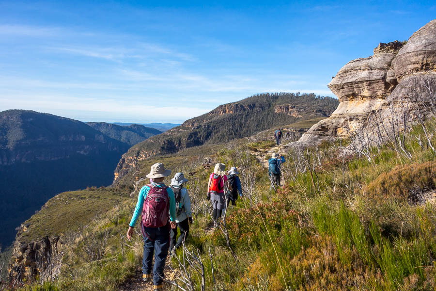
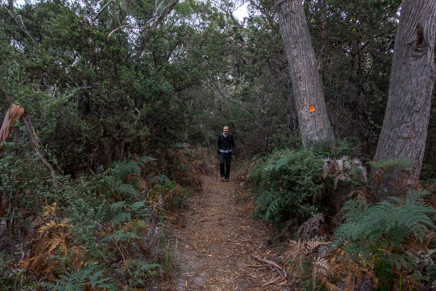
The track is still much the same out to Cloudmaker – just a bit greener on the sides
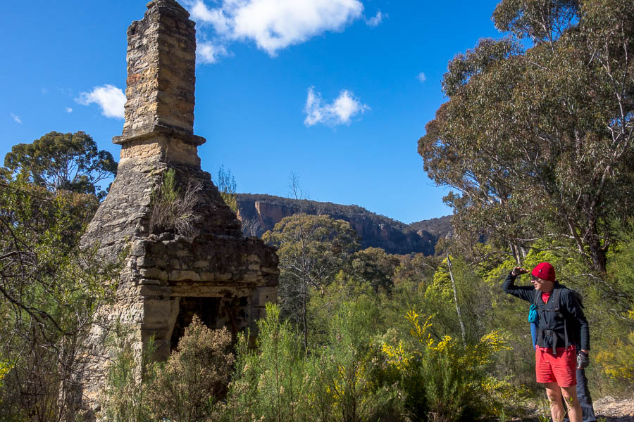
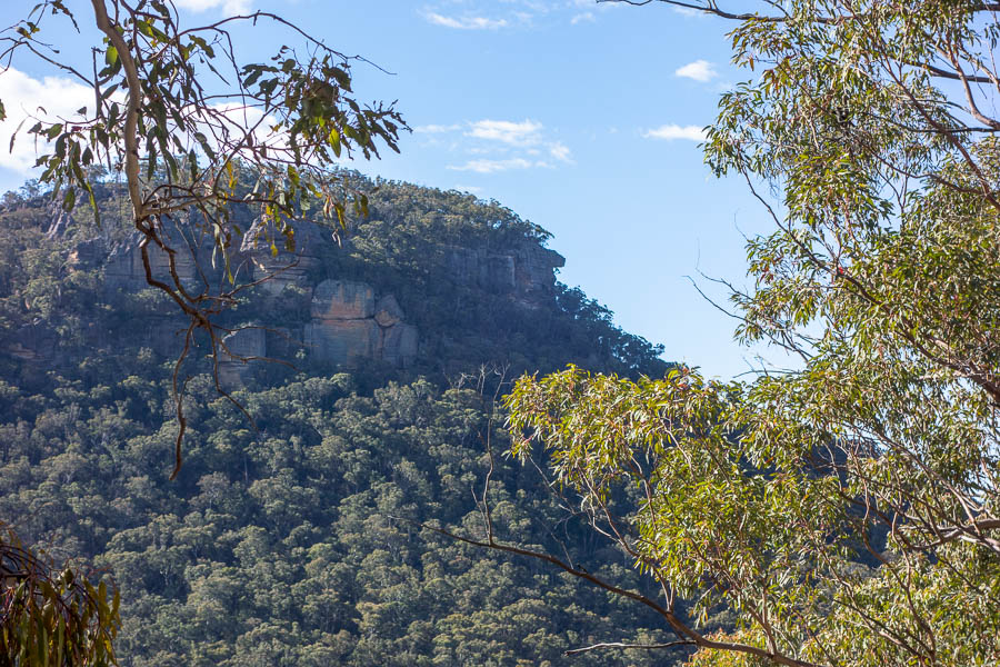
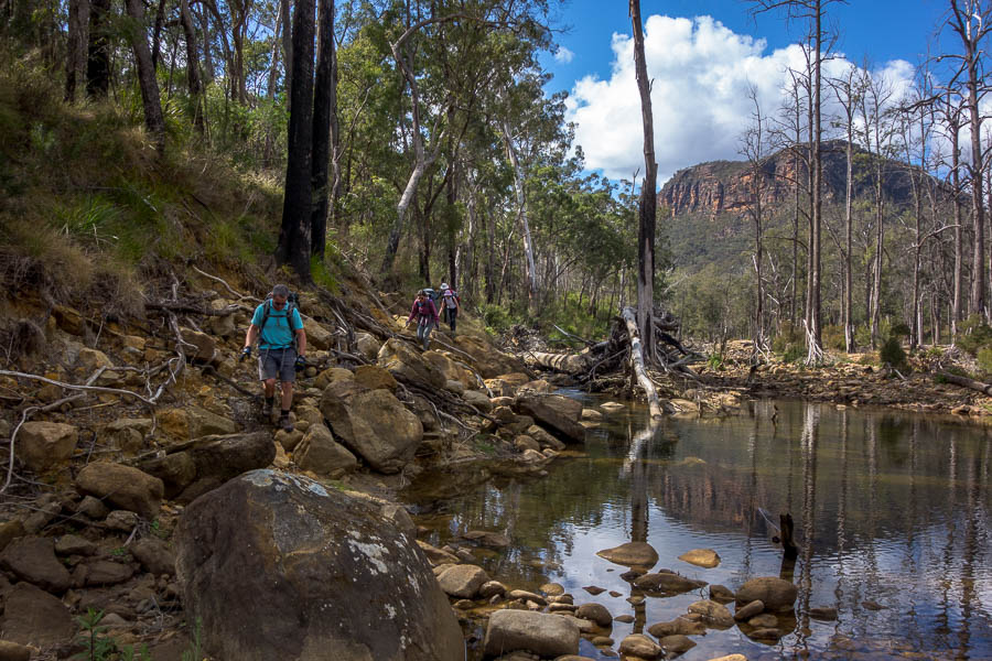
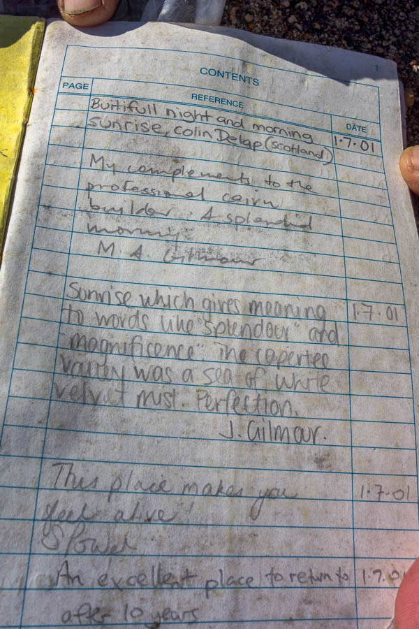
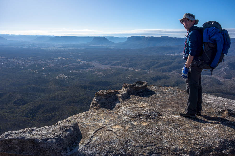
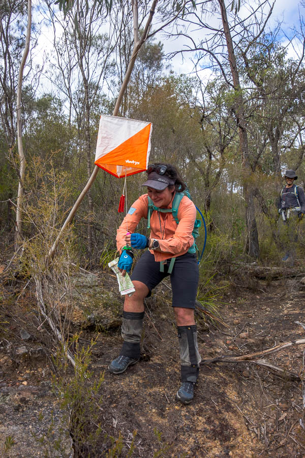
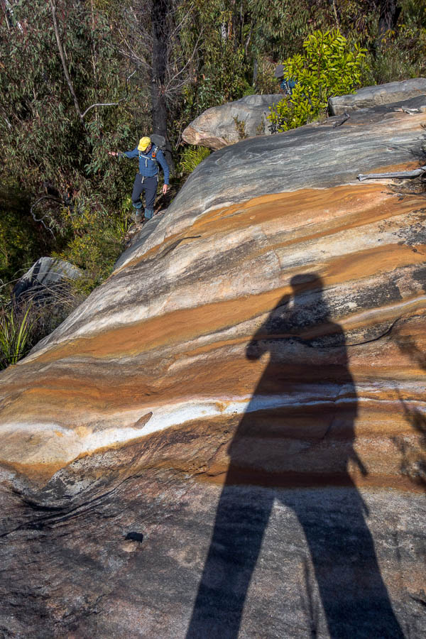
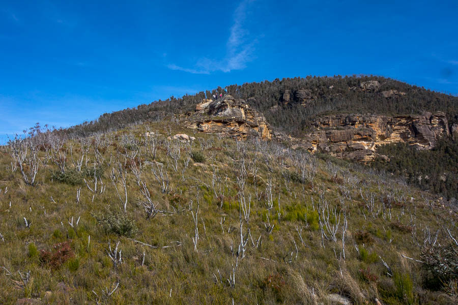
The track out to Cloudmaker had been much the same as pre-fires – a little more bushy in a few places – but clear and easy to follow – up until about 100m below the Cloudmaker summit. Things suddenly became very overgrown and I picked my way up a very vague pad to the summit. I then spent a good 5 minutes trying to get the logbook out of the container. I don’t think the container had previously been attached to the rocks – but now there is a metal spike holding it in place – so you can’t turn it over to shake the logbook out. Eventually I got it out, and the others still hadn’t arrived. I then heard Huw & Jonas off to the north. Frances arrived at the summit shortly after so I quickly put an entry in and we headed off to meet the others and find out way down to Dex Creek. I noted there had been a few parties heading out to do K2K in recent weeks so I was hoping they had left a bit of a track for us to follow!
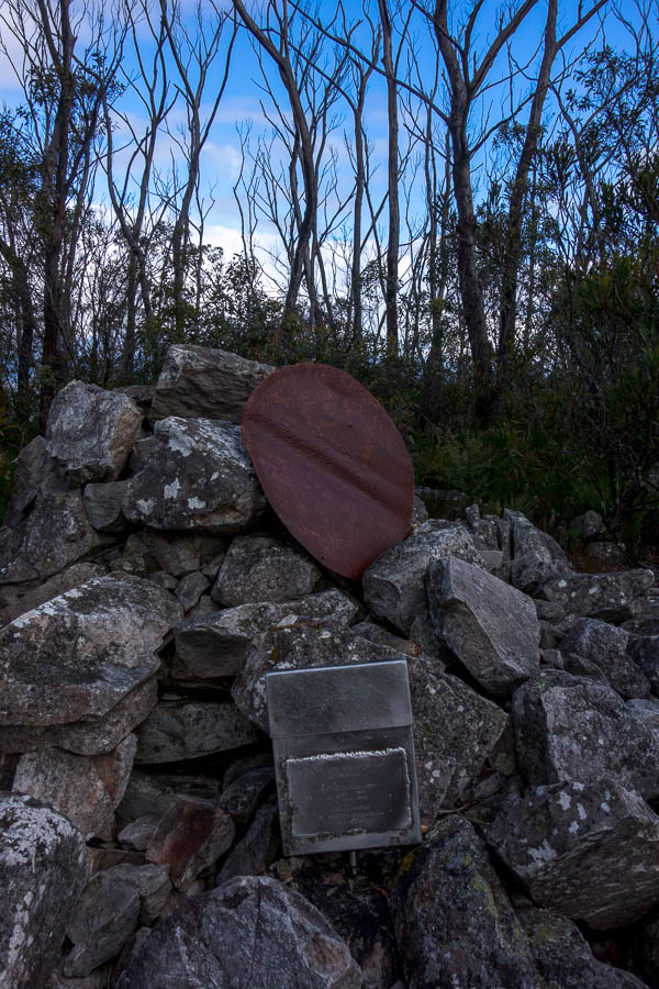
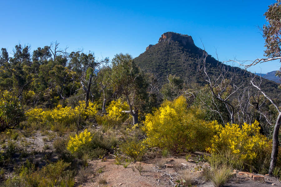
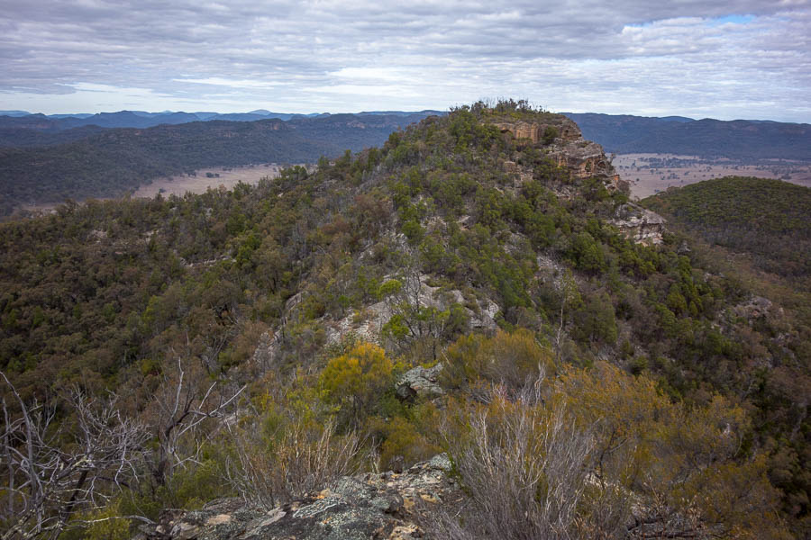
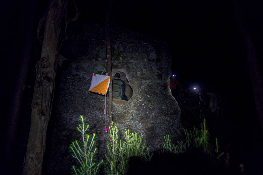
Mount Cloudmaker
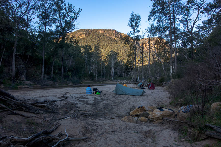
We navigated our way down to Dex Creek, on and off the track, without any great issues, arriving at 4:50pm. As I finished putting my tarp up it started raining. As we’d had light squalls going across most of the day I thought this would be the same. But no! It bucketed down for about 45 minutes. The forecast had been for any rain to clear up by late afternoon – and certainly nothing of this volume.
I knew the tarp I’d brought wasn’t seam sealed as Tom had had a miserable time in it in unseasonable rain in the NT last year – but I hadn’t bothered doing anything about it as I was not expecting rain at night. There wasn’t much I could do other than squeeze my wet hair out as the drips came down onto my head through the centre seam… Somewhat belatedly I realised I could collect the rain water off the tarp and make some soup. It wasn’t long before I had a cup of water in run-off and then some hot soup to warm me up.
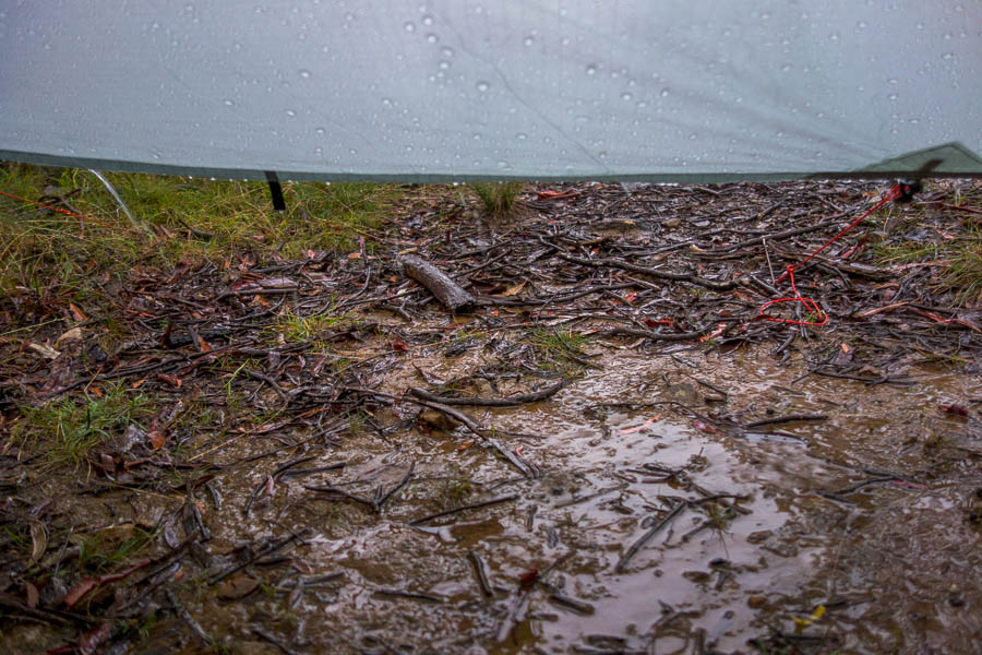
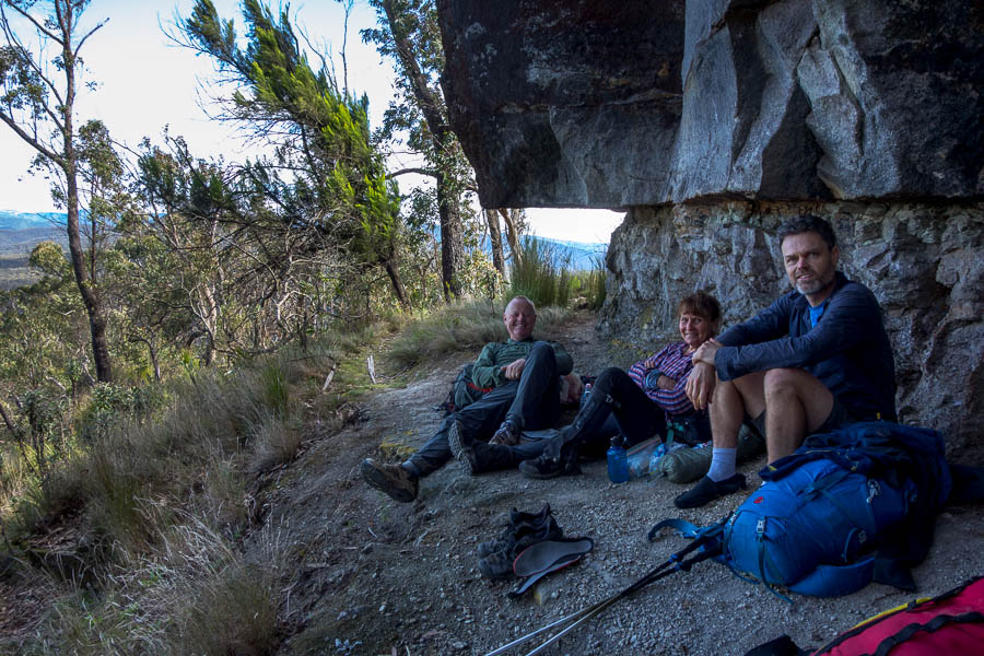
Hiding from a downpour just after we got to camp
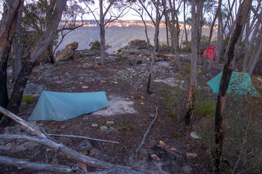
Eventually the rain stopped and we were able to get a fire going and dry out a bit. At one point a native bush rat wandered past knocking over Frances’ cup & spoon – but none of us had any issues with pesky creatures overnight.
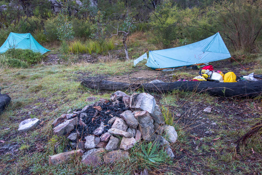
Looking a bit drier the next morning
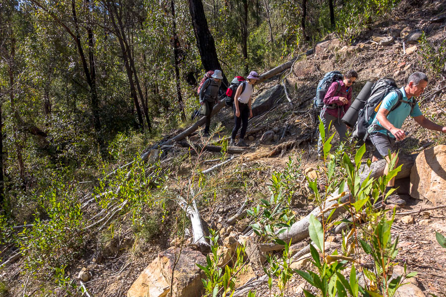
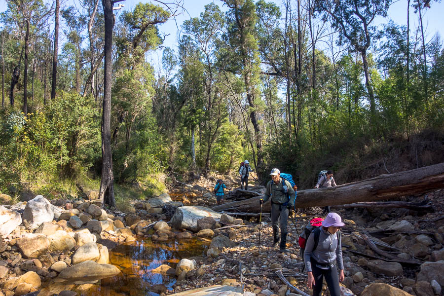
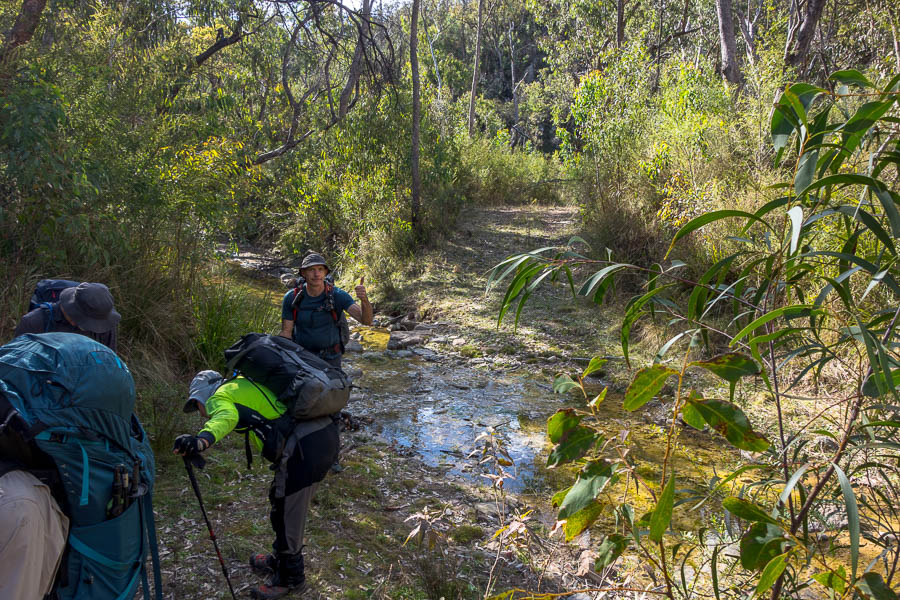
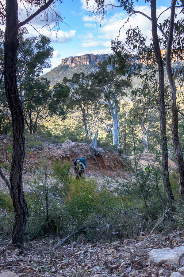
We were aiming for an early start the next morning as we knew it could be a very long day. We were away a bit later than planned at 7:30am. The first 500m out of Dex was clear and easy, but then things got very slow. With the downpour the night before the bush was saturated, so it didn’t take long pushing though 3-4m high regrowth for me also to be saturated.
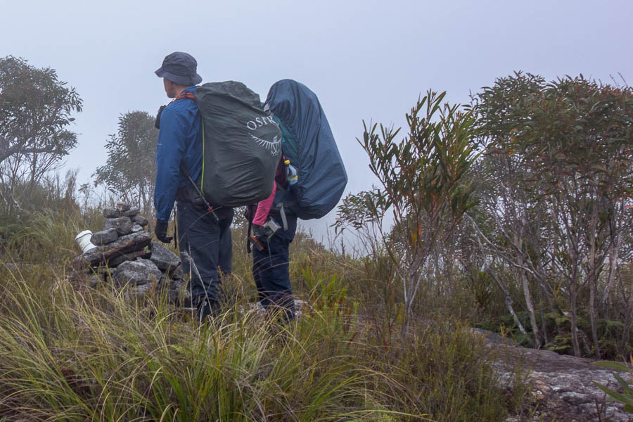
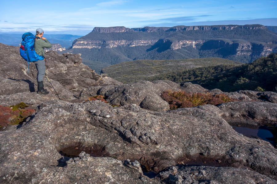
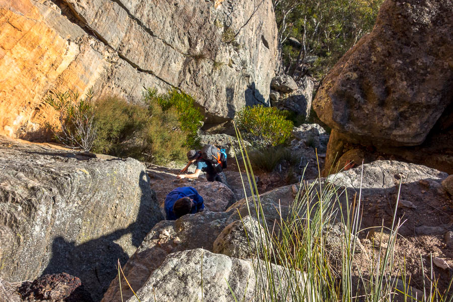
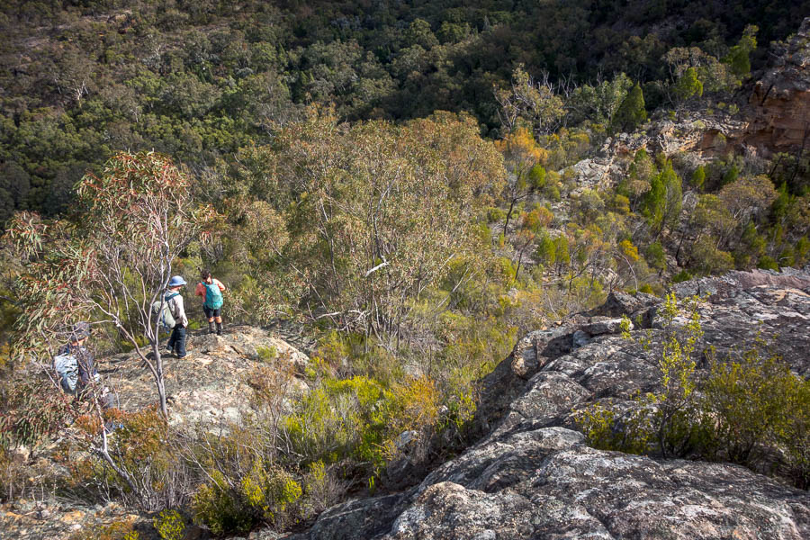
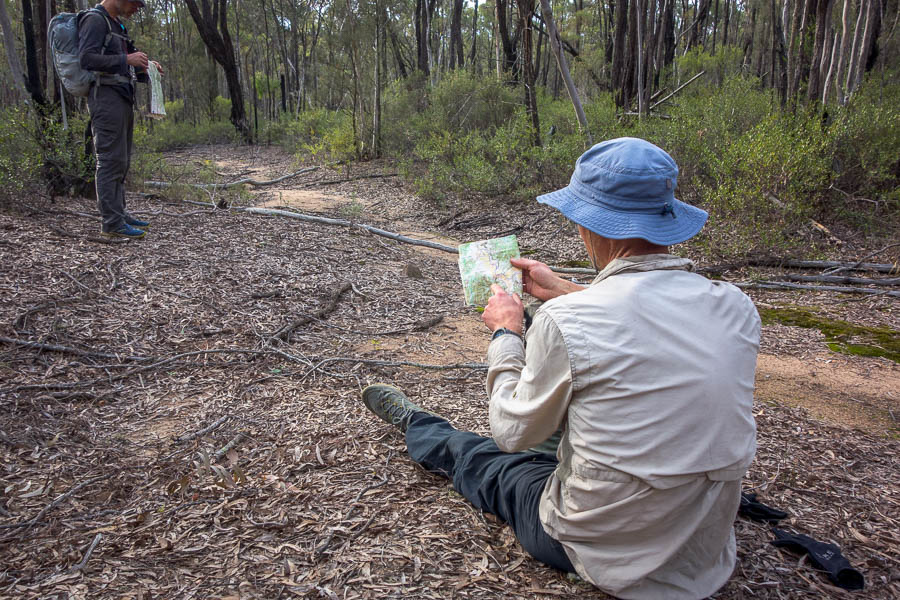
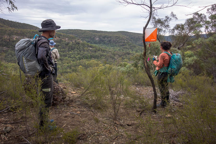
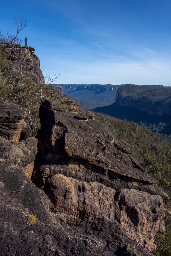
We were navigating via a combination of map & compass (me & Jonas), memory/instinct from many, many trips on the route (Huw) and GPS/recent trace (Frances). I was completely confused about our direction, which Frances was saying was fine, so I was happy when we reached a small clearing and I could look at where we were on her phone. We had headed north directly after getting on to the ridge above Dex (rather than heading towards Carra Top then swinging). We didn’t find any evidence of a track here and it was very slow going. It was a nice break to reach the rocky outcrop prior to the saddle south of 953 where we could clamber up and get some views.

Relief to pop up and get some views before descending back into the 3m+ high vegetation
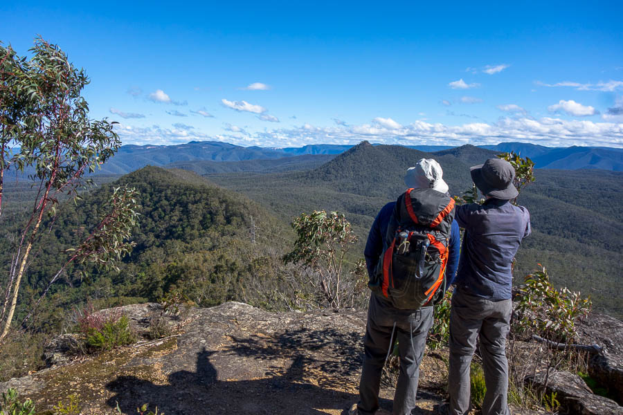
Then it was back into the scrub and over 953. We got some of the classic views that this section of ridge used to be so memorable for coming off the northern side of the 953 high point, just before the little scramble, heading into the saddle before Mount Moorilla Maloo.

Huw emerging from a scrubby section

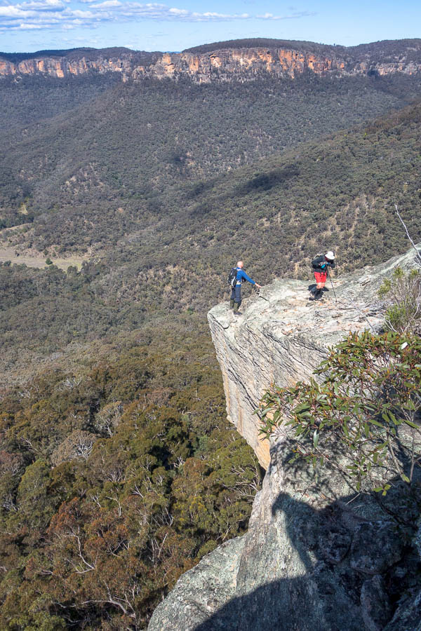
Aah. Classic Kanangra views
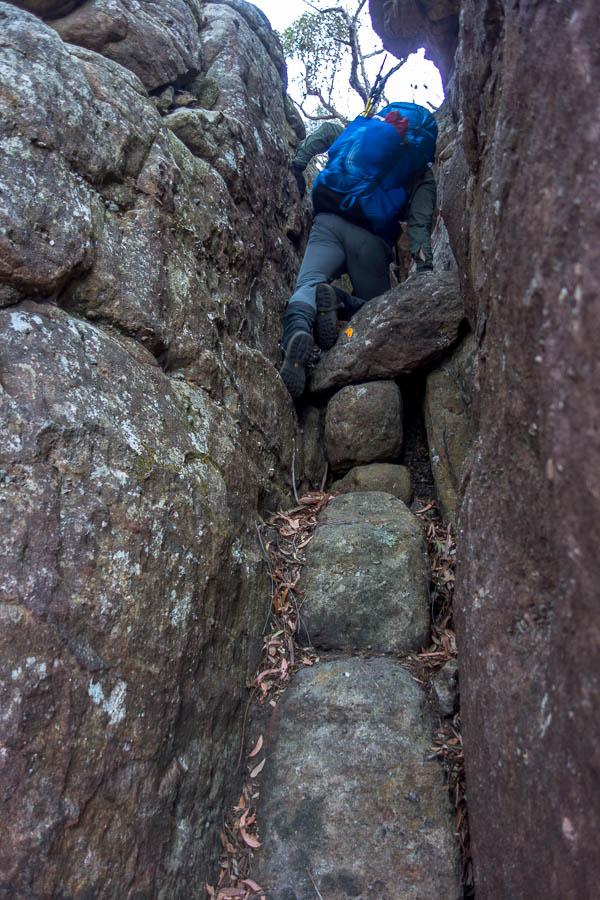
Huw scrambling
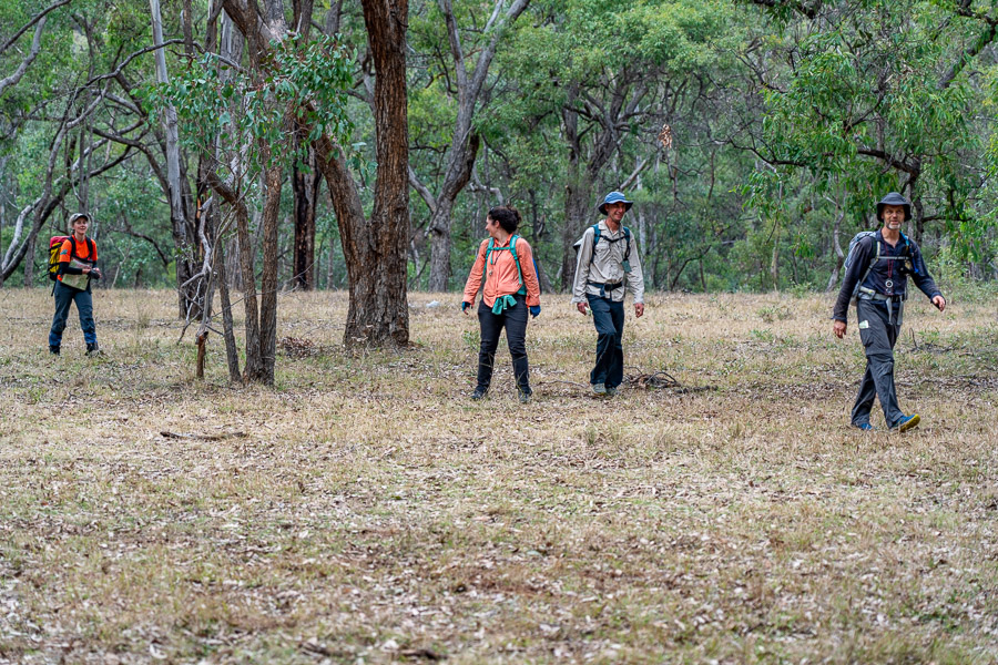
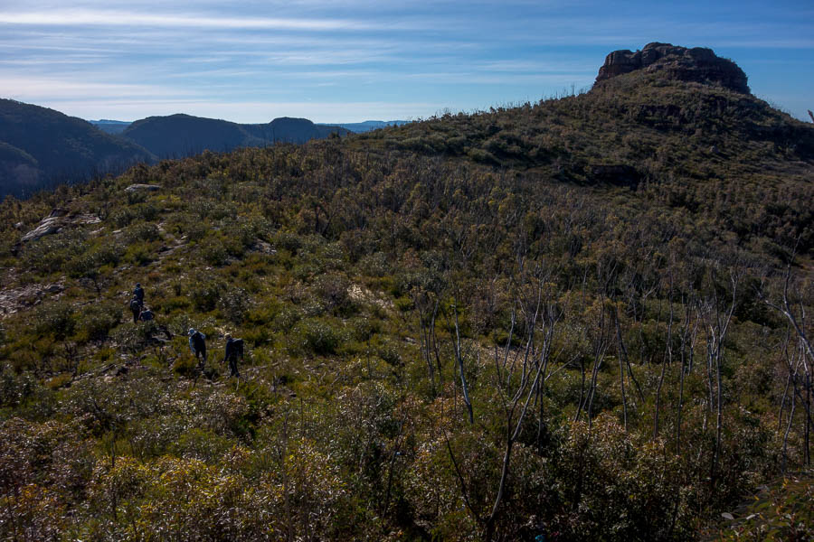
It was relatively straight-forward walking from there to Mount Moorilla Maloo, but as we swung north-west we lost the pad we’d been on and were back in some pretty thick regrowth. After swinging north heading towards Mount Amarina we found a pad which made life easier. It still went through 3-4m high regrowth but we were perhaps going at 2km/hour rather than 1km/hour. When we found ourselves in a slightly rocky/open section around Mt Amarina we took the opportunity for morning tea. We had earned it after 2.5 hours covering 3km.

Francis heading off in one of the less (!) thick sections
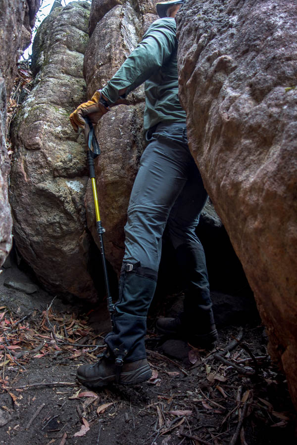
We continued following the pad over Kullieatha Peak and then to the slopes of Mt Strongleg where it started traversing the slopes to the east. Jonas & I lost it, and I was inclined to just go on the main ridge but Huw reminded me that the trail had previously contoured around on the east, so we persisted. Meanwhile Frances was 20m below us and said she was on a pad. It wasn’t clear if what she was on continued so the rest of us headed up as we were getting stuck in mountain holly. Turns out we should have gone with Frances as she was able to follow the pad around to the main ridge without any issues. We picked up a pad coming off the Strongleg summit but it would have been faster for our party to have stayed low.

What vegetation awaits us on our descent from Mt Strongleg?
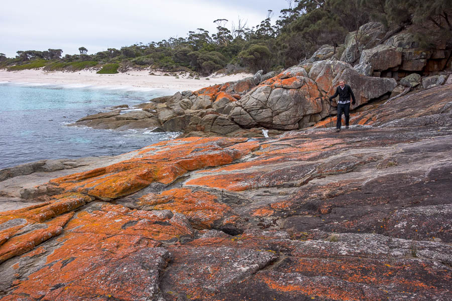
Fortunately the vegetation once we started descending the Strongleg ridge eased off. There was still regrowth (more podolobium & hardenbergia rather than eucalypt) but a lot lower and less dense. We followed a pad most of the way down. Unfortunately we lost the pad close to the bottom and briefly ended up tangled in passionfruit vine (not sure what it actually is but that’s what it looks like). I also hadn’t been following the compass as we we’d just been sticking to the pad, so we ended on bluffs above Kanangra Creek. Possibly if we’d been following the ridge line we’d have relocated the pad earlier – we found it for the 100m or so down to Kanangra Creek and a very well deserved lunch just before 2pm.
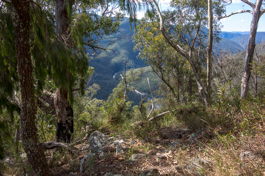
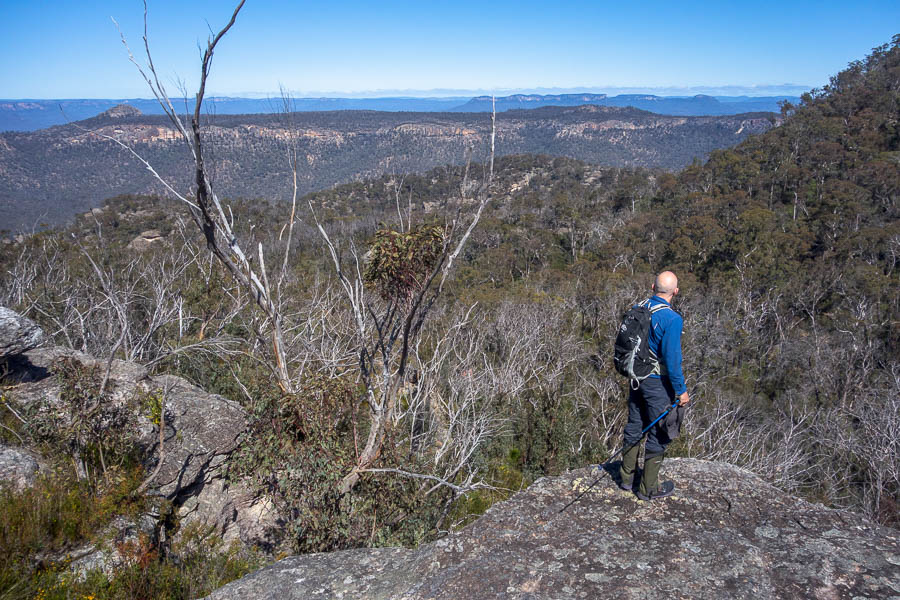
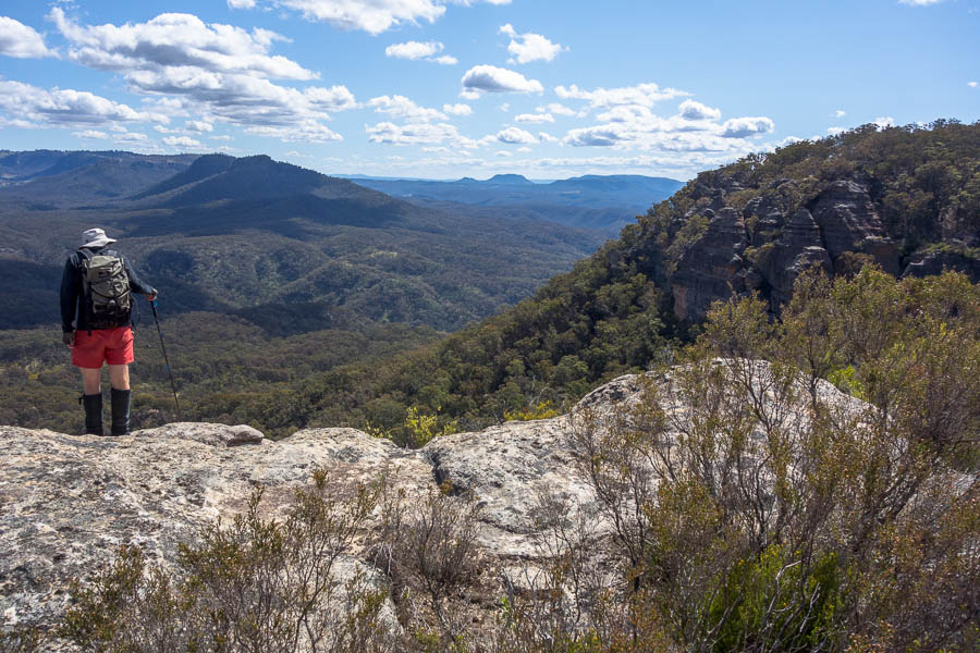
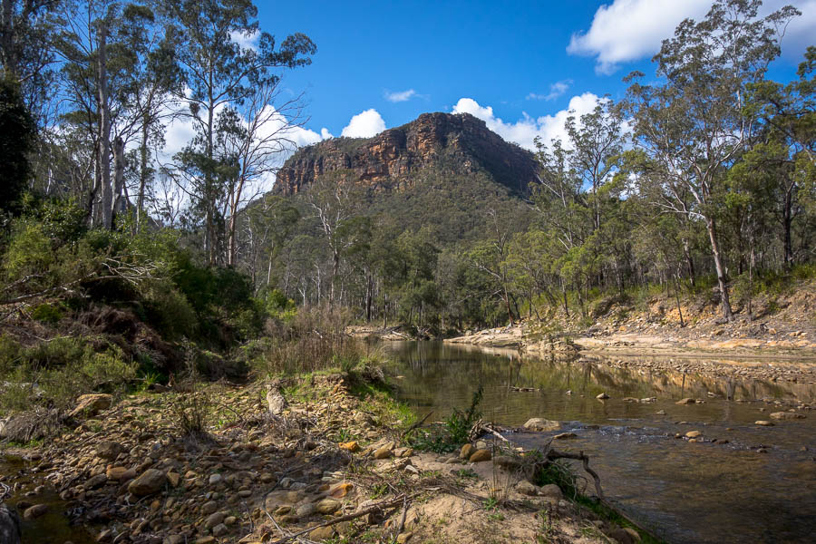
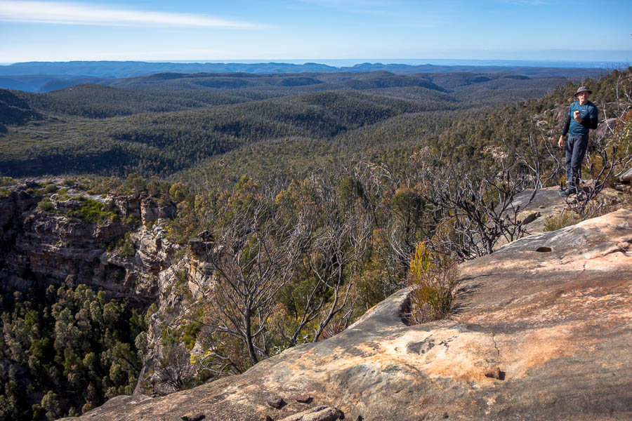
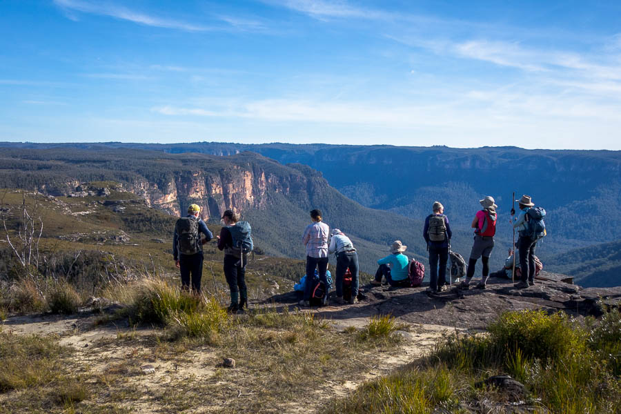
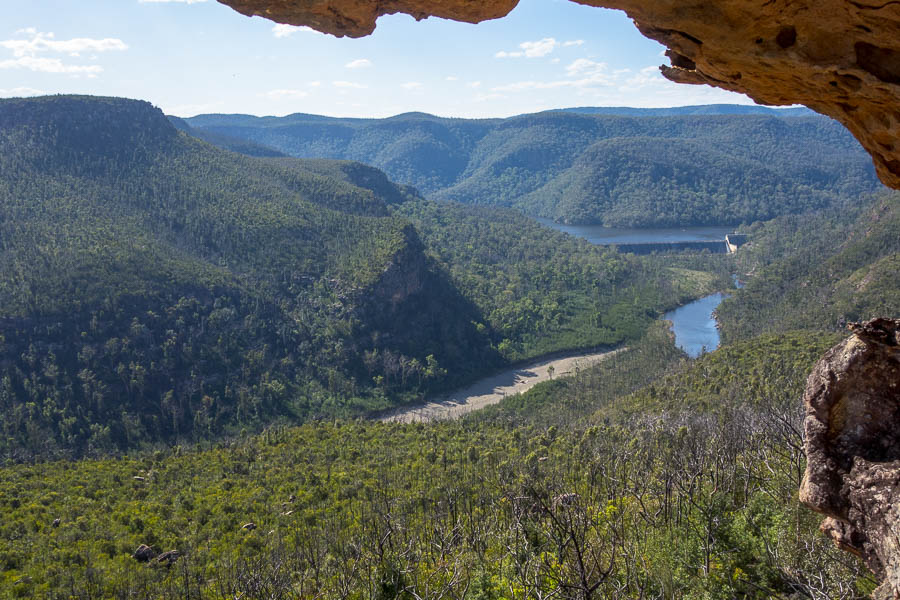
Views to the Coxs River
I was quick to hop in for a swim – and delighted to wash the hundreds of leaves that had fallen down my shirt off. Given the time it was a pretty easy decision to camp on the Coxs rather than push for Mobbs Swamp. This allowed us the luxury of an hour sprawled out, drying out tents and relaxing. We were accompanied through lunch by a large monitor that was moving around in the bush and cliffs around us the entire time we were there – I’ve never seen one quite so active – possibly agitated as we were sitting on his favourite sunning rock?

Beautiful lunchspot on Kanangra Creek
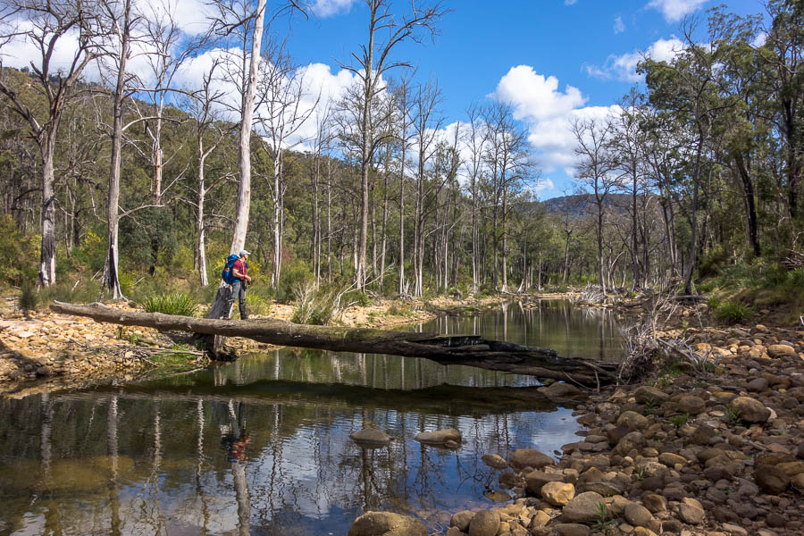
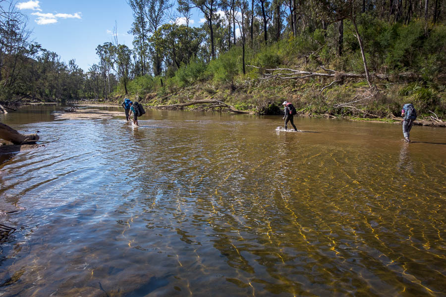
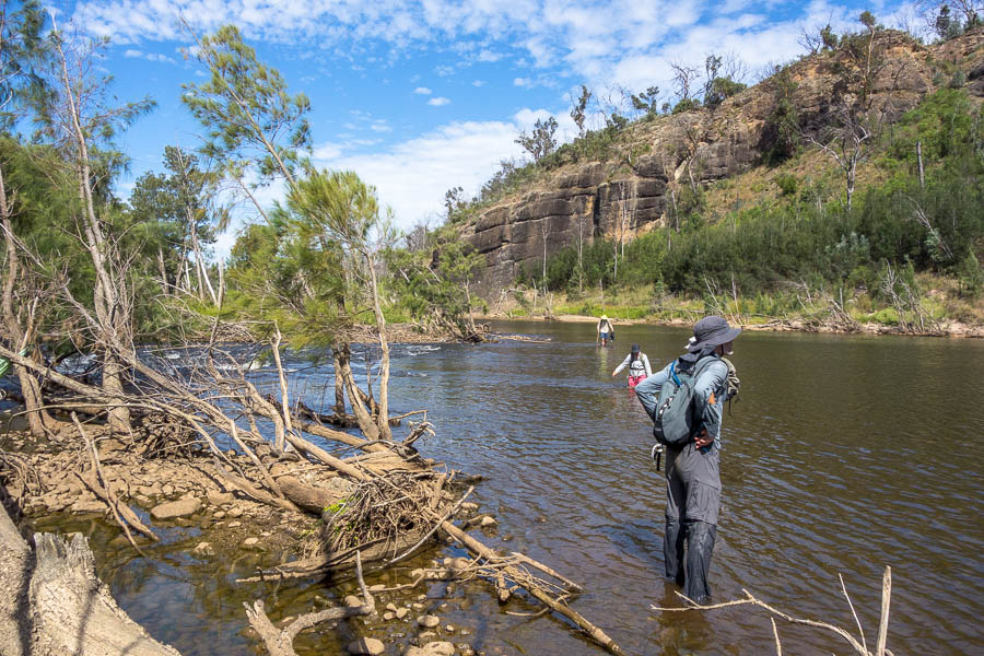
But we still had to get to the base of Yellow Pup, so a couple of crossings of Kanangra Creek and the Coxs River were needed. Both were flowing well, though we didn’t get more than just over (my) knee-deep. Huw said the whole area had changed, but my memory from 3 trips over 16 years wasn’t good enough to remember what it had been like before!

Junction of Kanangra Creek and Coxs River

Crossing the Coxs River
We found the start of the track up Yellow Pup and then set about finding places to camp. There wasn’t a lot of great camping spots, but we all found something. It was a pretty warm evening, quite the contrast to the night before. Despite my apprehension about the big day the next day I had to admit the Coxs has much nicer ambience than Mobbs Swamp.

Camp at Yellow Pup Point – not a lot of flat options
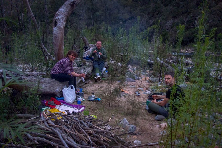
Evening festivities
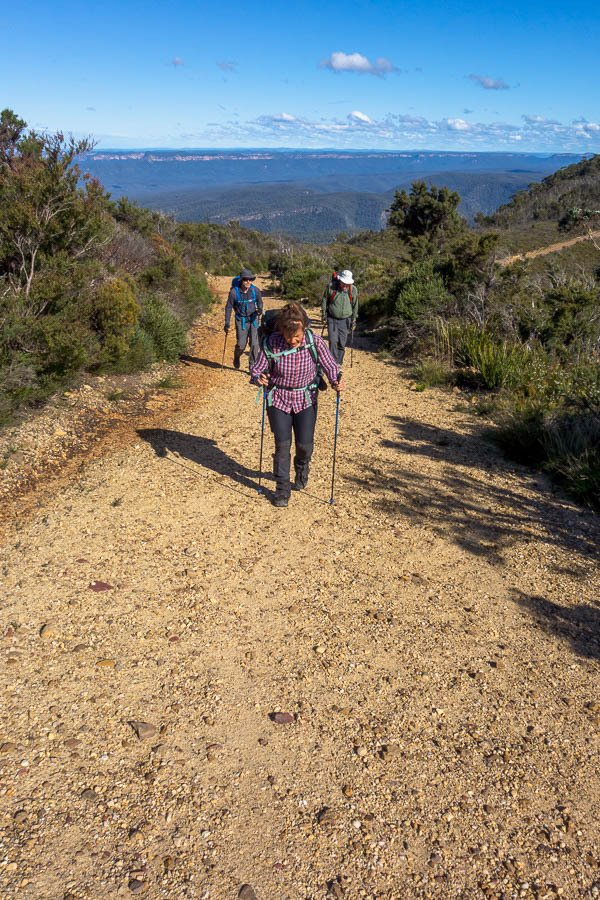
We agreed on a 6:30am departure the next morning. Some people were ready earlier so set off as they were ready. I was ready at exactly 6:30am so that was when I left. The lower part of Yellow Dog didn’t seem to have burnt in the fires and was much the same as in the past (though maybe less used so a bit more vegetation hanging over the track). I caught up with Frances on the first long switchback, and then we found Huw not long after that. I waited for Jonas – the only one in the group not to have done this route before – to make sure he made the turns.
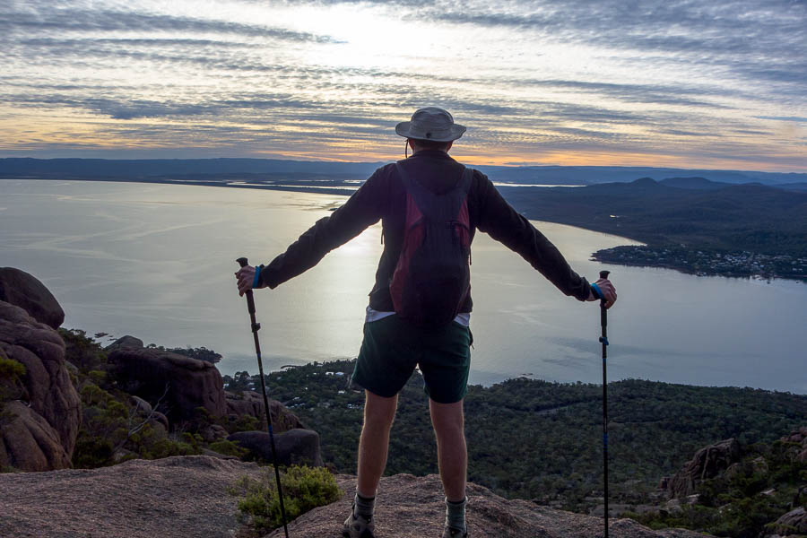
Views from part way up Yellow Dog Ridge
Jonas & I overtook the others again and made it to the top at 8am. Time for breakfast, or more importantly time for a cup of coffee!

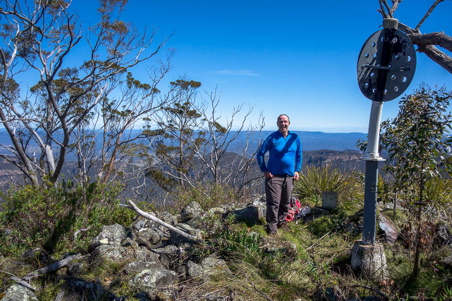
Mount Yellow Dog & breakfast time!
We set off again around 8:45am. The track from Mt Yellow Dog through to Mobbs exists but is very overgrown. We took a bit longer than we would have in the past – having morning tea around 10:30am at Mobbs. I was quite surprised to see what the campsite at Mobbs now consists of. I’ve only camped there one before, back in 2007, and my memory was a large gloomy flat stretching a long way into the bush, with room for many, many tents. I didn’t poke my head off the track, but it seems now there’s just the one clearing, which is all a bit slopey and wouldn’t fit that many tents. I didn’t take a photo of it.
A short break at Medlow Gap
After a bit of pfaffing getting water at Mobbs Swamp we were off again. The track from Mobbs to Medlow Gap was pretty easy going in the scheme of things. Frances said last year it had been muddy the whole way, but fortunately it had dried out.
As we made the final major climb of the day up Mt Debert the weather closed in. There were clouds and light rain as far as you could see and the wind picked up considerably. I wasn’t looking forward to the walk along Narrow Neck full stop but it would be even worse in those conditions!

Huw & Jonas descending to Little Cedar Gap
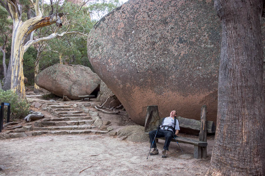
The strong wind was good for something though – by the time we had made it to the base of Tarros Ladder the cloud had been largely swept away. We opted for lunch on the eastern side round the corner from the ladder as it was out of the wind and had reasonable views. It was also after 1pm and my stomach was rumbling.
Lunch out of the wind below Tarros Ladder
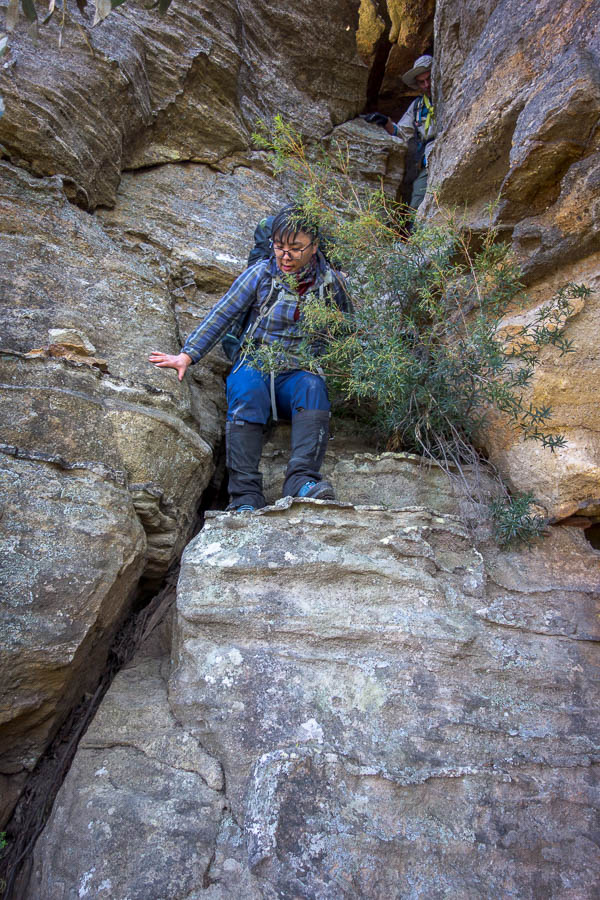
Frances had been muttering about being worried about going up Tarros, but I knew she’d done it so many times before I hadn’t taken her that seriously. But once she got on the ladders the verbal commentary and stress coming out her mouth was quite a surprise! We all made it up and took in the views (while trying not to get blown away) from the top.

Jonas bounding up Tarros Ladder

Huw & Frances ascending Tarros Ladder
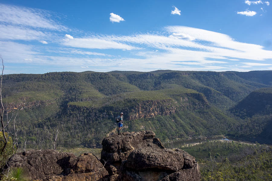
Looking back at our route
Not that the ascent is over at the point, I hurried on wanting to get the day over with and also hoping to get out of the wind. The last time I’d done K2K we’d done the same distance on the second day and it had destroyed me. And this time, with the landslips on Narrow Neck closing the road to vehicles, we had an extra 3km to do. My feet weren’t in the best shape after 2.5 days of wet feet, but having aired them out at lunch I was hoping it would be enough to get me through.

If only the car was only 9.5km away…
The fire trail bash begins

The fire trail bash continues

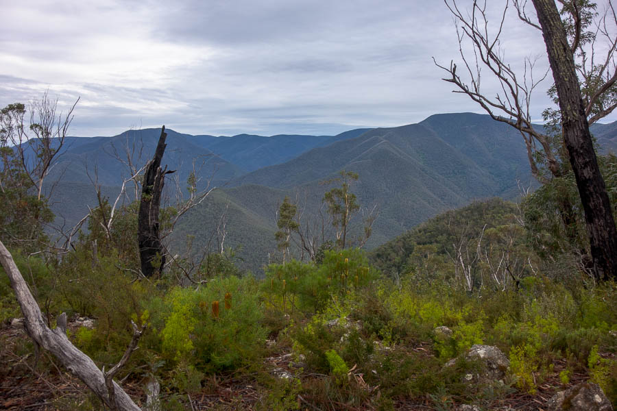
Late afternoon views
I was still pleased to see the locked gate as it was a definitive marker of how far we’d come, but still 3km to go…
Once this was a blessed site, now it’s still 3km to go
That said we probably got to take in a few views that would have gone past in a blur previously.

Probably not a photo I would have taken before…
The lone car which had been out on Narrow Neck when the landslip occurred has been well and truly trashed.

A well and truly trashed car, stuck on Narrow Neck
Late afternoon views
The new access track

I think it’s a bit further than 42.5km!
I was at the top of the new access track at Narrow Neck Lookout just after 5pm – earlier than our 5:30pm estimate. Feeling a lot better than I did after the 2018 trip.
The lady who lived over the road from where we’d left our cars popped her head out to ask about our trip and then we were off back home. I never enjoy walking Narrow Neck but otherwise it was a reasonably enjoyable trip – particularly given what I was imagining it could have been! Excellent company and great to get out for 3 days after failing to utilise the Easter weekend.


