Western Arthurs (A-K) (21-27 Nov 2020)
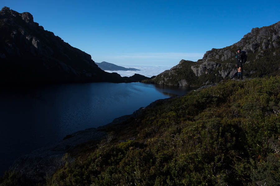
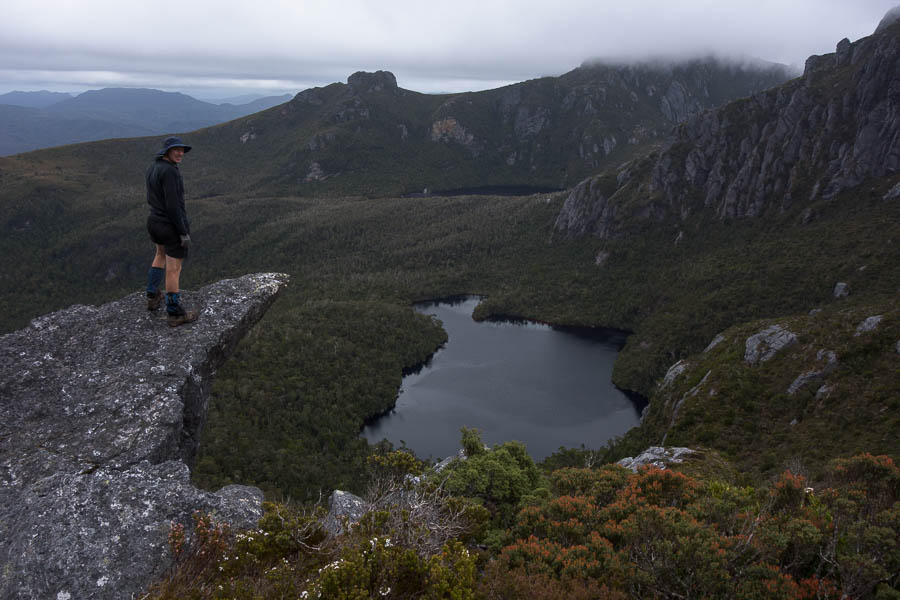
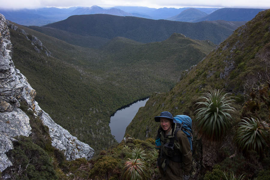
Yet again I felt like pinching myself. Less than 12 hours ago I was in my bed in Sydney, now I was standing on Mt Hesperus surveying the majesty of the Western Arthurs.
The past few days seemed like a dream. It had only been 3 days since we decided we were going to tackle the Western Arthurs (A-K). Trailhead transport booked Wednesday night. Packing list written up at work on Thursday. Fortunately Tom had been dehydrating food in anticipation of some sort of trip for a few days, but even so the last things came off the dehydrator Friday night. And Saturday morning we had taken our first flight in Covid-world, been whisked away from the airport by TWE, allowing us to start walking from the Scotts Peak Dam trackhead shortly before midday.
It’s very easy to be a fair-weather bushwalker in NSW, particularly when you’re just heading out for a weekend. Weather’s looking truly awful? Stay home. Really need to get out? Re-route to a camp cave, half the time the rain doesn’t come anyway. Subsequently Tom & I have done very little camping in the rain over our bushwalking history. I’ve had the Eastern & Western Arthurs on a vague to-do list for some years. But they had always hovered low enough that no action materialised, because the thought of spending a day or two stuck in a tent due to the weather seemed so unpalatable. So little thought had been put towards the area that, the weekend before we headed to Tassie, when on a club trip Lauren mentioned doing “A-K” I had no idea what she was talking about.
Tom had been forced to book in his leave entitlements for the year months ago, which is why we had a random week off in November. We were toying with options for Wollemi traverses when the Tasmanian border re-opened creating another option. Initially I’d looked at Federation Peak (closed), Mt Anne Circuit (closed), Frenchmans Cap (too short)… but then saw the Franklin River and tried to book us on a rafting trip. Minimum numbers were needed for the rafting and Plan B, C & D were rapidly being spun up just in case. Plan E (Western Arthurs) only eventuated after Lauren mentioned it the Sunday before we were meant to leave! I had assumed because Federation Peak was closed the surrounding area was – secretly I was much keener on this idea, so there was little disappointment when on the Wednesday before we officially pulled the pin on rafting due to lack of numbers.
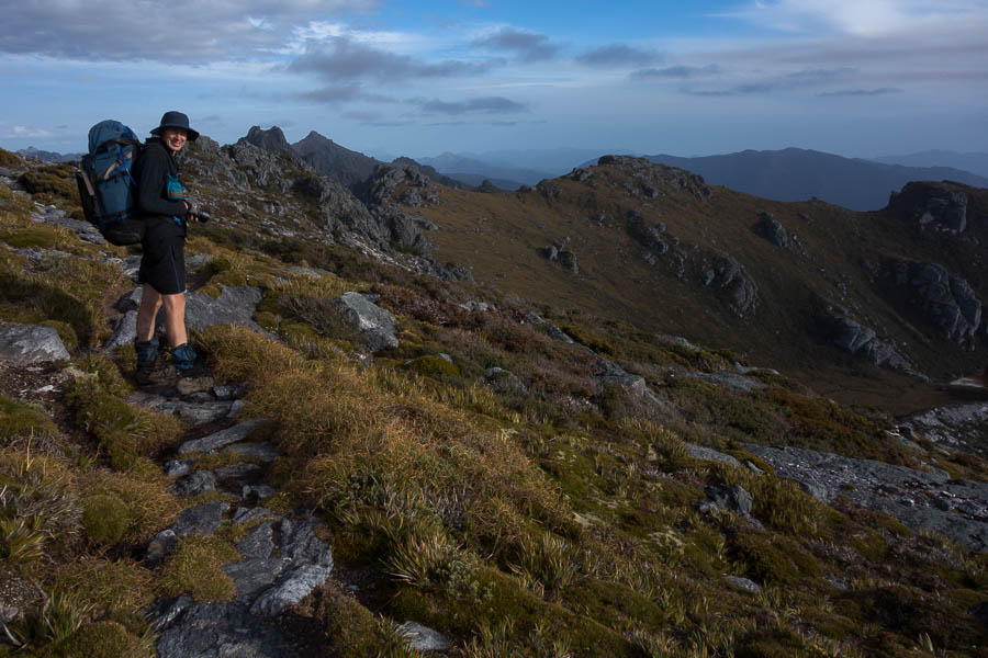
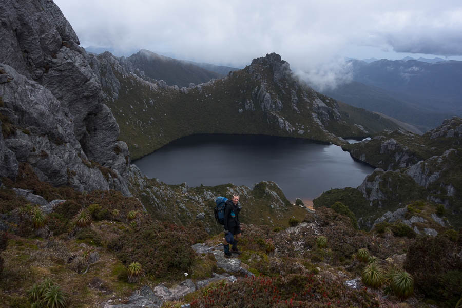
And now here we were having slogged the 800m up Alpha Moraine (“A” in the “A-K”) with our fingers-crossed the forecast would hold. It was still an hour or so from Mt Hesperus to our first night’s camp at Lake Cygnus.
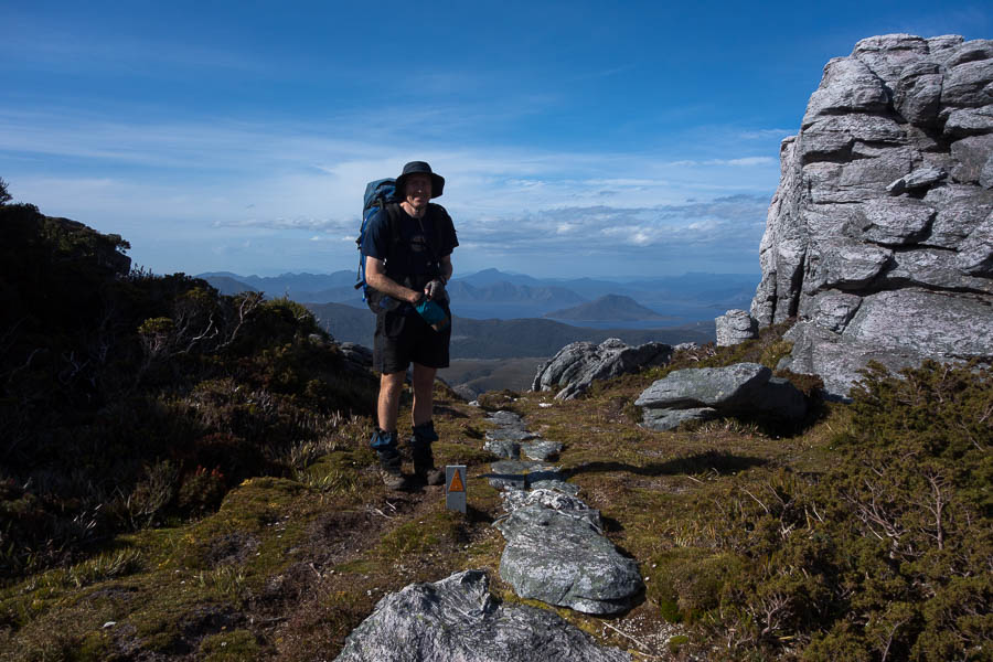
Tom with Lake Pedder in the distance, after we’ve completed the biggest climb of the trip – 800m up Alpha Moraine
Some way out we spotted the silhouette of a person on the ridge line. Interesting. According to the log book there had been twelve starters two days earlier, but none since, so presumably this was someone from one of those groups. Tom’s assessment of photographic equipment as we approached the lone figure pegged him as a serious photographer. As it turned out his collection of 4 lenses, 2 bodies and various other paraphernalia made Tom look like a model of restraint with “only” 3kg of camera gear! It took a bit effort to keep Tom moving, having got caught up in a photographic discussion with Ross. Subsequently it wasn’t until 7:30pm we found ourselves near the shore of Lake Cygnus setting up for the night. I was sure sleep would come easily – after a 5am start, a couple of poor night’s sleep in the lead-up, a 900m climb with a 16kg+ pack – until I returned from the toilet to find a rat investigating my pack.
My biggest worry coming into the trip was rats eating my pack at Lake Oberon. In the flurry of blog-post reading in the two days we had of planning, rats had featured in a few reports. And now we had one at Lake Cygnus. I scared it off and packed everything away as best I could. I lay there listening for the tell-tale scurry of little feet. Imagination on overdrive, there were a couple of false starts, but then sleep came and I didn’t hear anything until the next morning – where to my great relief my pack still had the same number of holes as the night before.
Day 1: 15.7km, 11:45am – 7:15pm = 7.5 hours including water collection, afternoon tea, photo-faffing etc. Chapman’s estimate: 6-9.5 hours (excluding breaks)
animal count: one native rat, 2 small snakes
packweight: 16kg?
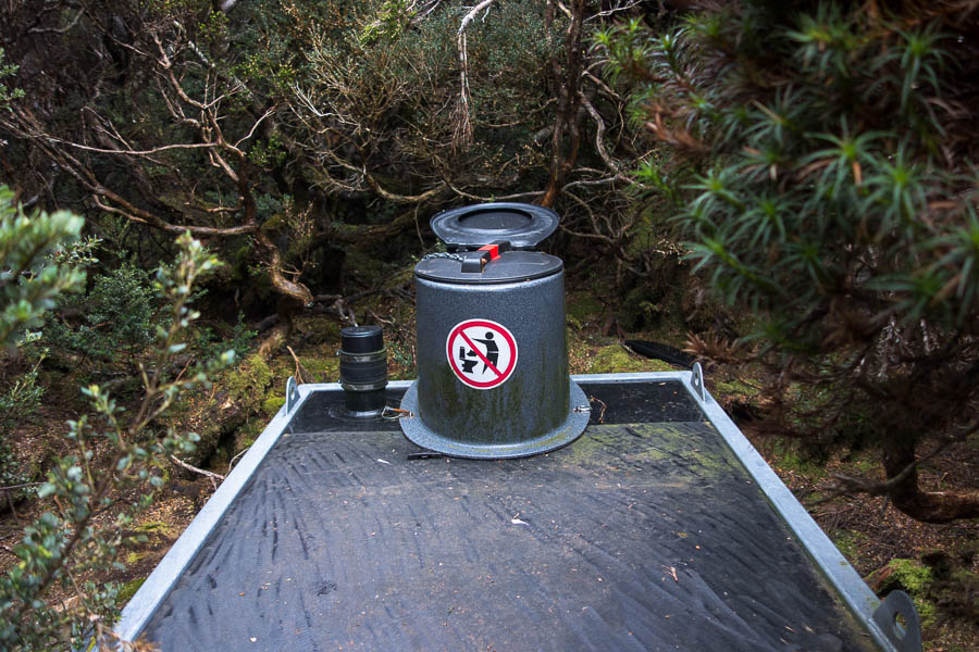
The toilets at each site were like this. Unscrew the lid, put down the seat, then screw the lid back on when you’re done. Fortunately I never needed to use one when it was pouring with rain.
We thought day 1 would be the most physically challenging day on the trip for us. Give us difficult terrain and short distances over long distance on track any time. Our second day was much shorter and we didn’t hurry to get moving in the morning. Ross headed off back to the car park with his 30kg pack shortly after 7am while we were still eating breakfast. The blue skies we’d started with yesterday had been replaced with a grey version, but overall the conditions were relatively pleasant. We took a side-trip up Mt Hayes for morning tea, and then had an early lunch at Square Lake.
There’d been the odd spot of rain during the morning but it started drizzling which brought an abrupt end to lunch. We powered up the next hill and by the time we got to the top the precipitation had eased off, but it had also put any thoughts of a side trip up Mt Orion out of our minds.
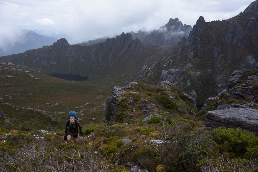
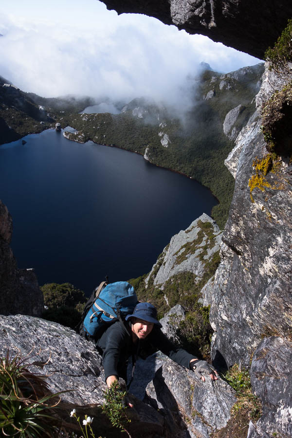
We oohed and aahed over the classic Mt Oberon view from the saddle before heading down. I had anticipated this section keenly as it was where all the notes said “if you don’t like the approach to Lake Oberon then turn-around”. It was also to be our first encounter with a Chapman “steep” section. Curious to see how things would pan out we walked down the constructed steps wondering what was to come. Steep, it certainly was. Our packs were still relatively heavy having only eaten a day’s food which made things a little more awkward, but there was nothing overly difficult in the descent for us. My main complaint being a wet butt by the time we got down, as I had to sit on a few of the ledges to order to scramble down. Tom as usual hit the right sympathetic notes with his “better a wet butt than a squashed Rachel”.
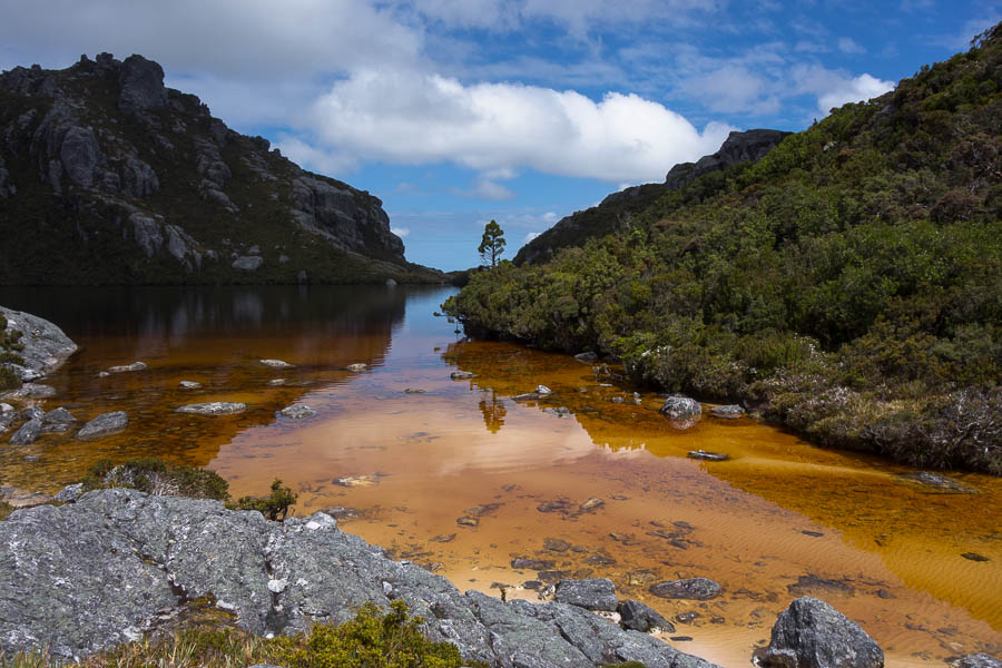
By the time we got to the lake shore the sun was out with blue sky aplenty. I stripped off and threw myself into the lake before I cooled down. The water was chilly away from the shallow foreshore! The campsites at Lake Oberon are tucked away in the bushes – which I’m sure is great in inclement weather but it was a little gloomy on a day like the one we had. We settled down to do a crossword in the sun by the shore before eventually retreating to set up camp.
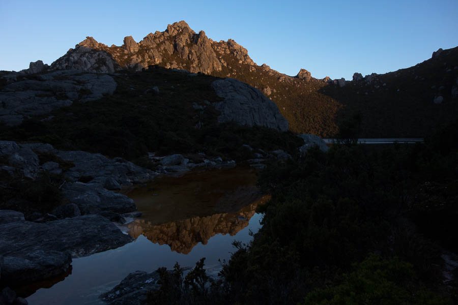
Happy hour was again out by the shore with Tom chasing the sunlight up the slope as the sun sunk behind the surrounding hills. During dusk we heard some voices, presumably starting to descend to Lake Oberon. We headed back out to the lake shore for some sunset photos but couldn’t see anyone and no one ever arrived (that we could tell).
Day 2: 4.2km + Mt Hayes sidetrip, 8am (?) – 1:45pm = 5.75 hours including morning tea, lunch, photo-faffing. Chapman’s estimate: 3hr10 – 4hr 40 (excluding breaks)
It was a very still night, and the night sky was spectacular. On the downside that meant heavy condensation on the tent, which we spent a lot of time wiping down with the chux the next morning. Even so we were still away by 7am, in perfect weather conditions. My worst fears for the trip hadn’t eventuated – no sign of any rats overnight.
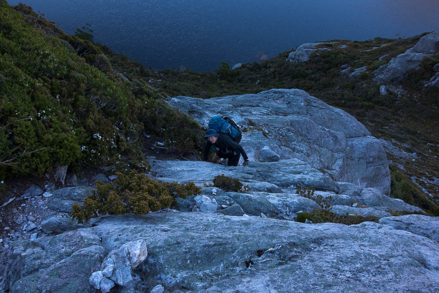
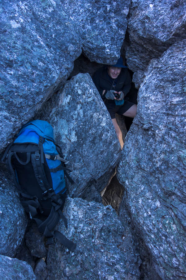
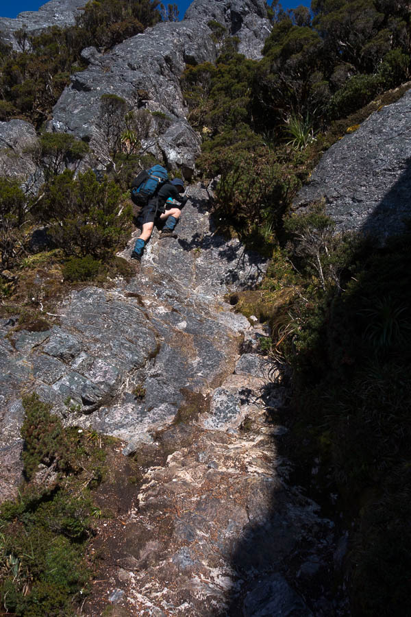
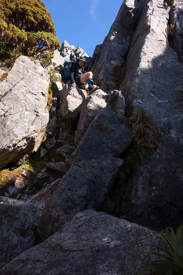
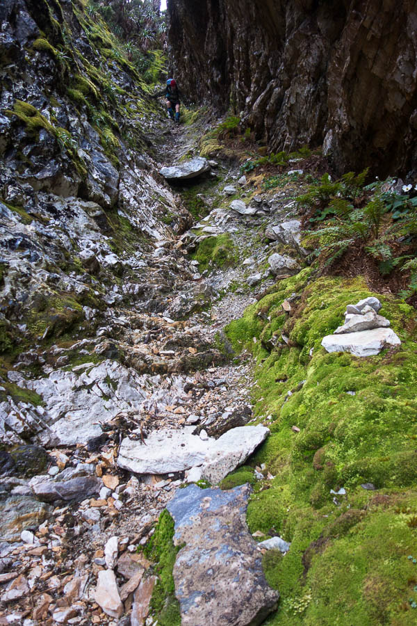
The scrambling on the lower slopes of Pegasus was my least favourite part of the day. It was the start of a mantra I repeated a few times over the next two days; “I am so glad I’m not doing this in the wet!!” We made pretty good time getting up Pegasus. But after we got through the hole at the top, we wasted quite a bit of time finding our way along the ridge to start the descent off. Probably my fault for claiming we were going to be on the 1 hour end of the 1-2 hour Chapman estimate….
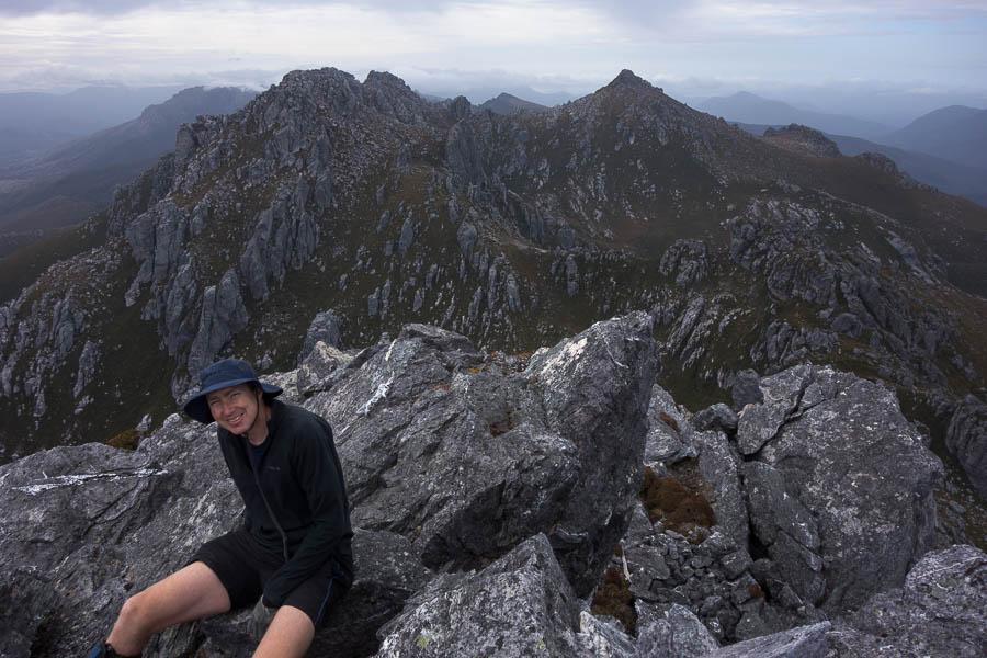
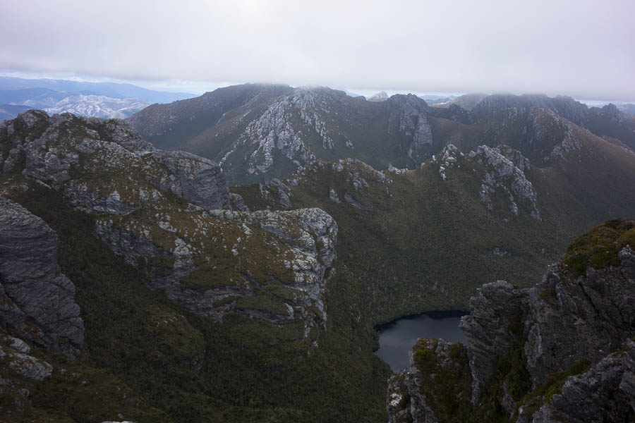
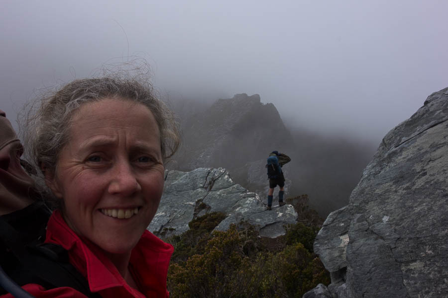
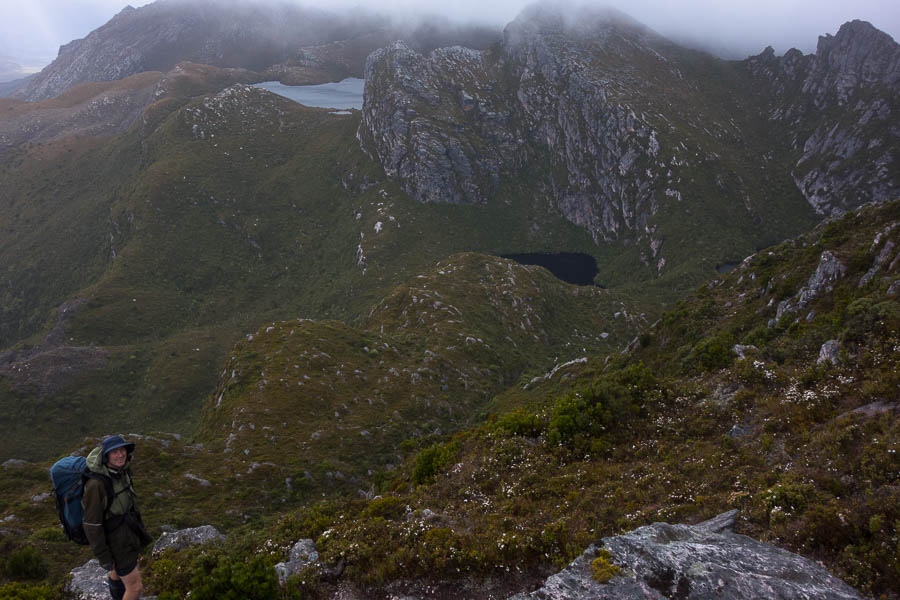
The views in this next section were amazing. But off in the periphery I could see the sea of cloud which had been so attractive in our earlier photos rising… and rising… until we were engulfed in it. That wasn’t quite the end of the views for the day, but they were a bit more sporadic depending on height of the cloud.
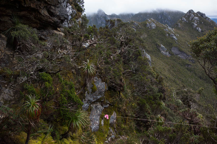
We experienced our first (but not last) experience of dirt bank climbing in the next section. I was somewhat horrified at the erosion in some sections and as Chapman says in the notes it seems likely some sections of the route may become impassable in future due to the erosion. It’s a difficult conundrum – by being there we were contributing to the problem – should we not go?
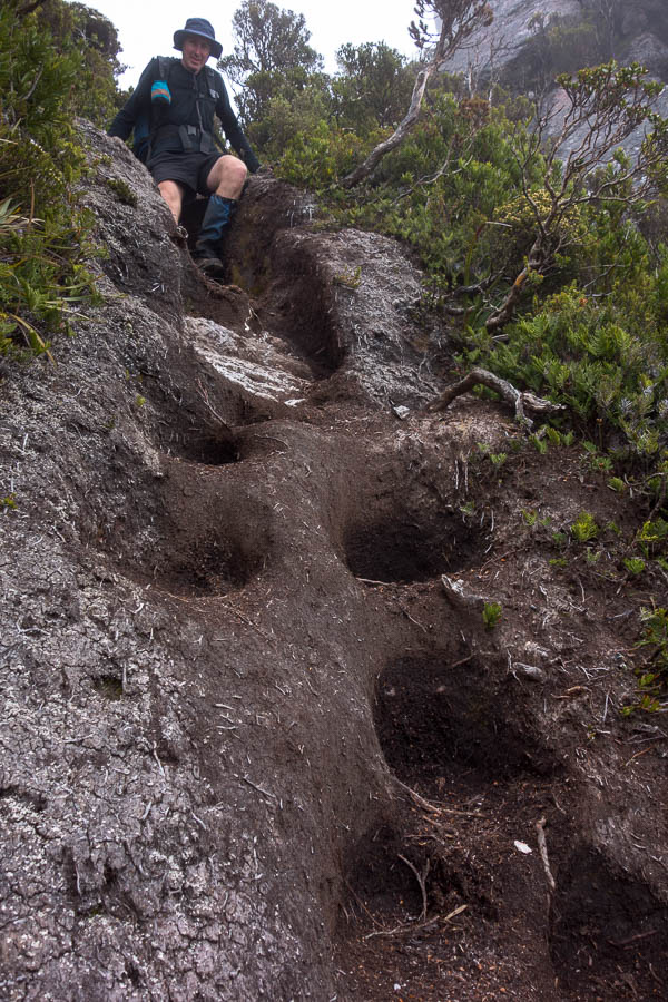
Our first encounter with eroded dirt banks. There are many more sections like this (mostly dodgier/more eroded).
We arrived at High Moor in the early afternoon. I optimistically assessed the tent platform for its quality as a back rest not realising we’d spend most of our time in the tent to escape the wind. It cleared a little mid-afternoon so we climbed Mt Columba where we got good views of the route ahead. We also attempted to check the weather forecast. Of course, turning on the phone to get the forecast does mean other messages pop up as well. Tom spent a few minutes giving permissions to files needed for our bushwalking club’s Weekly Update to go out. By the time he’d finished that there was a bit more cloud around and the 2 bars of reception were diminished. We didn’t manage to get the 3-hourly rain forecast or, as it turned out, more importantly, the wind forecast. We just saw that the overall rain forecast for the days ahead was still pretty benign – 0-3mm the next day being the worst of it.
Day 3: 4.3km, 7am – 1:45pm = 6h45 including morning tea, lunch, much photo-faffing and wasting time route-finding on top of Pegasus. Chapman’s estimate: 5-7 hours (excluding breaks)
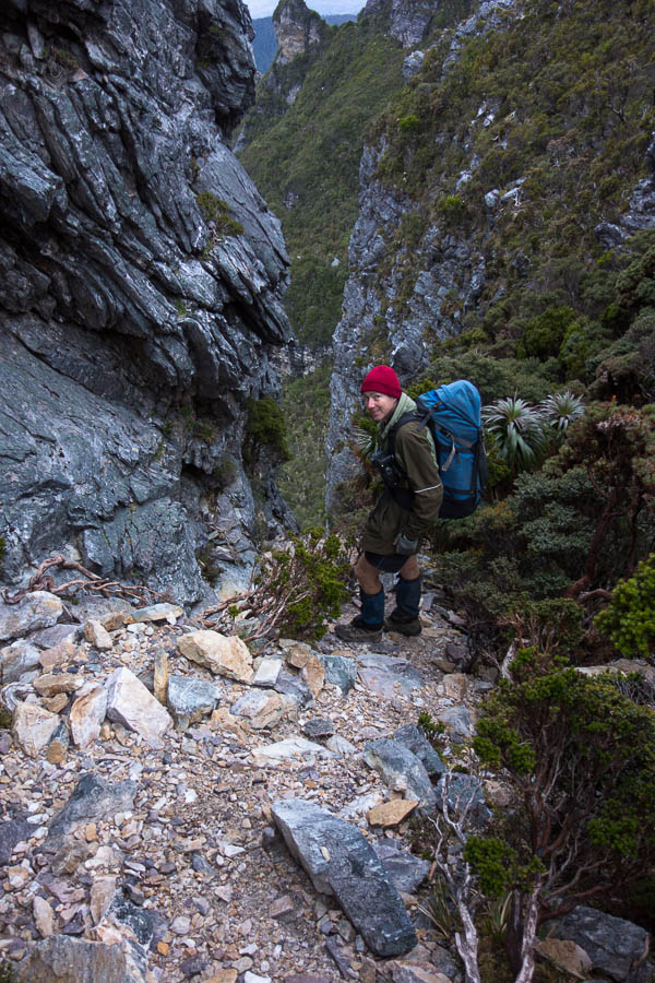
The next morning we got going early again. The cloud was high enough that we could see the ridgeline ahead as we set off along the almost paved path to the start of the Beggary Bumps. The first gully was my least favourite section of the day – a wet steep climb down with a tumble to oblivion if you stuffed up.
By the time we’d been up and down and around and got to the “Tilted Chasm” it seemed comparatively tame. I suspect our canyoning experience helped though, as getting into the top was a fairly standard canyoning scramble.
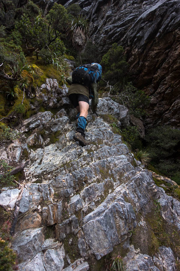
More scrambling. Let’s be honest on a day which is 3.8km and takes 4-6 hours, there’s an awful lot of scrambling.
The slow progress up and down and around continued until I suggested an early lunch in the saddle before Mt Taurus. Mt Taurus and the other surrounding peaks had been in cloud for most of the day, whereas from the saddle we at least had some views. It turned out to be a good call as the rain started just as we finished lunch, and we spent the rest of the day walking in drizzle and cloud. My orientation completely gone – at one stage if felt like we’d gone over Mt Taurus just to come back up to it again – though that’s probably mostly to do with the circuitous route that was needed to get off the peak. Keen to get down and dry I initially baulked at the cleft we needed to descend. But the alternative track seemed to just lead to a lookout (who knows we couldn’t see anything just being in cloud). Tom had a second look at the cleft and concluded it was actually pretty easy to get down – putting me to shame, but I agreed once I actually tried it.
Eventually we could see a lake, and skirted around it through overgrown tracks to find the tent platforms. We stood under the relatively dry shelter of a stand of scorparia optimistically hoping it would stop raining. After a while I decided we had to just bite the bullet and put up the tent in the rain.
We got a short break where we wiped down the platform with the Chux so we weren’t pitching on puddles. Soon we were inside and dry. Yay. And that is where we spent most of the next 36 hours.
Day 4: 3.8km, 7:05am – 1:30pm = 6h25 including morning tea, lunch, not so much photo taking. Chapman’s estimate: 4-6 hours (excluding breaks)
The weather wasn’t so bad that we couldn’t have moved on the next day, but as we had baked an extra day into the trip our pick up schedule meant we didn’t need to move. Our knees were happy for a rest day as well! There wasn’t that much rain but the wind gusts were significant. By mid-afternoon we got some blue sky and that with the wind meant we dried everything out. Unfortunately the wind was such that a side trip up Mt Aldebaran was out of the question. Tom was even getting optimistic of some sunset photography, but the clear skies didn’t last and by dinner time we were back in low cloud.
Day 5: 0km (well maybe 1km to walk back to the saddle below Mt Taurus and see the views we missed the day before)
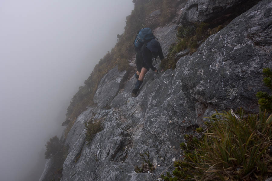
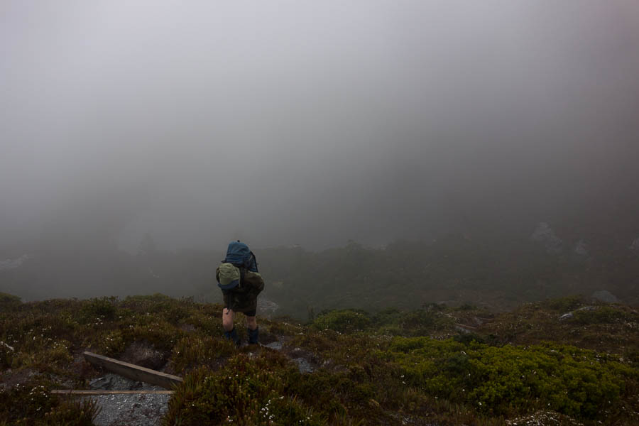
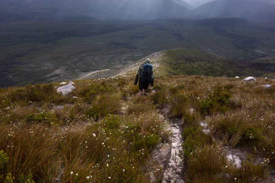
Overnight it rained again and it was drizzling when we woke in the morning. Hoping it would clear we packed up and got moving. As we climbed up into the saddle above Haven Lake we realised how sheltered it had been (even if it didn’t feel it at the time). We were buffeted by the wind, and it was with much relief we dropped onto the other side of the ridge out of the wind. There were a couple more exposed sections of ridge walking where I wondered if it was possible to get blown off, and I was quite surprised when we soon arrived at Lake Sirona. We briefly sheltered in a crevice enjoying the respite from the wind and rain. Should we be out in it? Tom asked if we should take shelter, I figured we were already pretty wet so should just keep moving and stay warm. The wind and rain intensified and the visibility dropped. And just when I was questioning the decision to push on the sky lightened in places and we started being able to see more than a few metres in front of us.
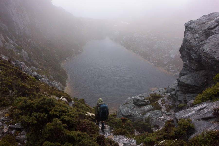
Descending to Lake Sirona in the wind & rain, fortunately having not been blown off the exposed ridgeline
The daunting ridge line of Mt Scorpio popped out of the cloud. The notes had said we needed to climb an exposed, rocky, rib. Not exactly ideal conditions for it. Our trepidation was much worse than what actually needed to be done and we were soon over the rib and staring down Kappa Moraine (“K”) our descent point from the range.
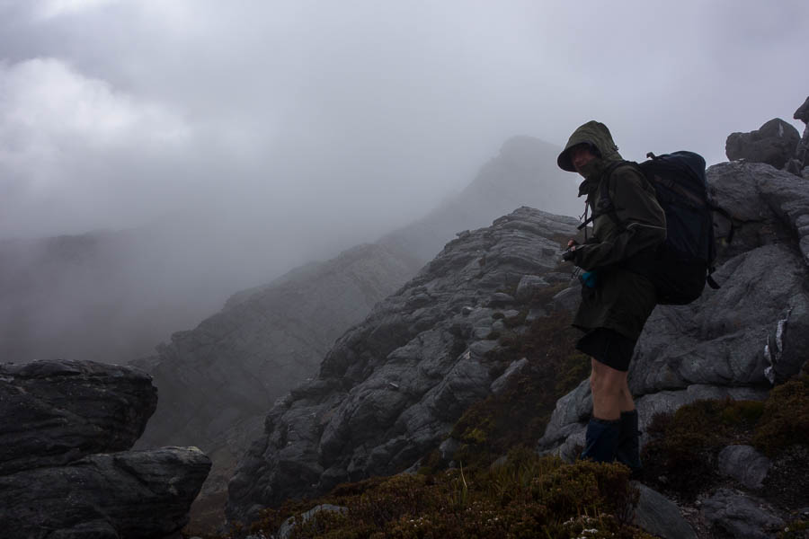
Mt Scorpio suddenly appears out of the clouds. Which part of the exposed, rocky rib do we need to climb?
Taking advantage of a break in the weather meant morning tea with views over Promontory Lake, Lake Vesta and Lake Juno. Then the rain returned and we slogged down the unprotected Kappa Moraine ridge line.
By the time we turned off for the cross-country shortcut the rain had stopped, and the wind felt like it would dry us out pretty quickly. The cross-country route went fairly smoothly other than briefly getting caught in the scrubby banks of Seven Mile Creek. By lunch the wind had done its job and we were completely dry.
The last few kilometres to Junction Creek were a slog. Though a large tiger snake on the track had me leaping about with energy (briefly)! We were both tired. I had spoken the night before of potentially walking all the way back to the car park but even if it had been pouring with rain I’m not sure I would have had the energy. Fortunately the day had cleared to be quite pleasant and we had a lovely final evening at Junction Creek.
Day 6: 14.5km, 7:30am – 3:30pm = 8 hours including very few photos early on, morning tea, lunch. Chapman’s estimate: 6-7.5h (excluding breaks)
Our final day was just retracing our original steps back to the car park. Only 7km, but not the easiest walking. The weather the same glorious still day with blue skies that we’d had on our way in. It would have been lovely to be up on the range!
Day 7: 8.4km, 7:50am – 10:40am = 2h 50 (no breaks) Chapman’s estimate: 2-3.5h (excluding breaks)

