
A half-circumnavigation of Pantoneys (and a traverse of course!) (19-20 Sep 2020)
Originally this trip was planned as a more traditional Baal Bone Gap – Baal Bone Point – Pantoneys Crown – Point Cameron – Baal Bone Gap loop. But a couple of weeks out I realised the access road and some of the walk were through State Forests which were still closed from the summer bushfires. Time for Plan B? Scouring the map I was surprised to see how many different directions Pantoneys Crown could be accessed from. A new route started to form before me, taking in some map features which had caught my attention in the past – Tarpeian Rock and Moffitts Pagodas. The new route had the definite advantage that I didn’t need to worry about the condition of the road, and the associated issues with carpooling and Covid.
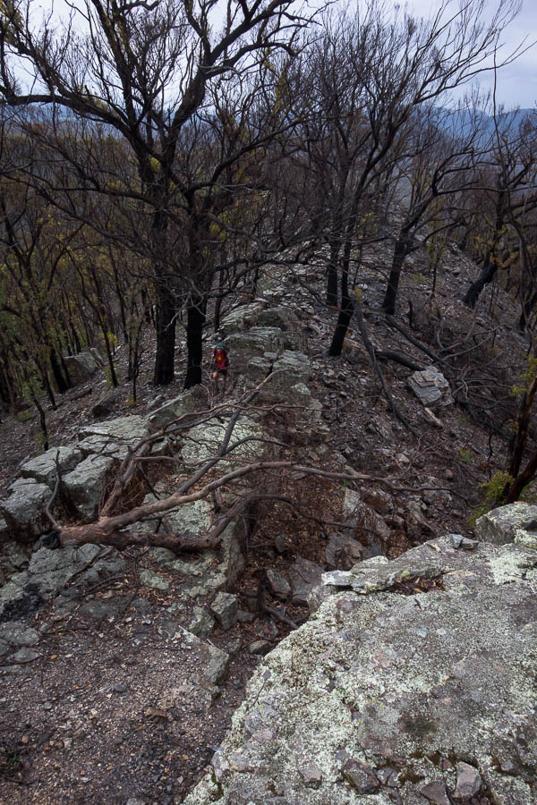
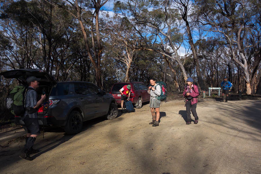
We parked a couple of kilometres in on the Moffitt Trail and briefly walked along the fire trail before heading into unknown territory – traversing the Great Dividing Range towards the main Baal Bone Point ridge.
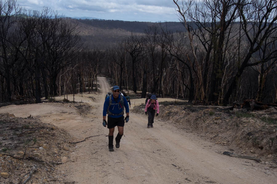
Fire trail through scorched country to start the day
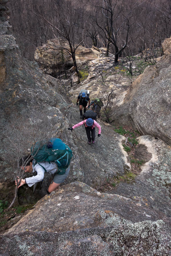
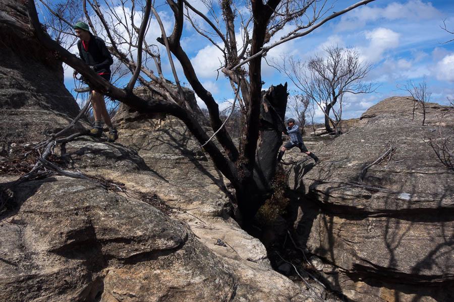
Finding our way through the pagoda maze
A mini-canyon
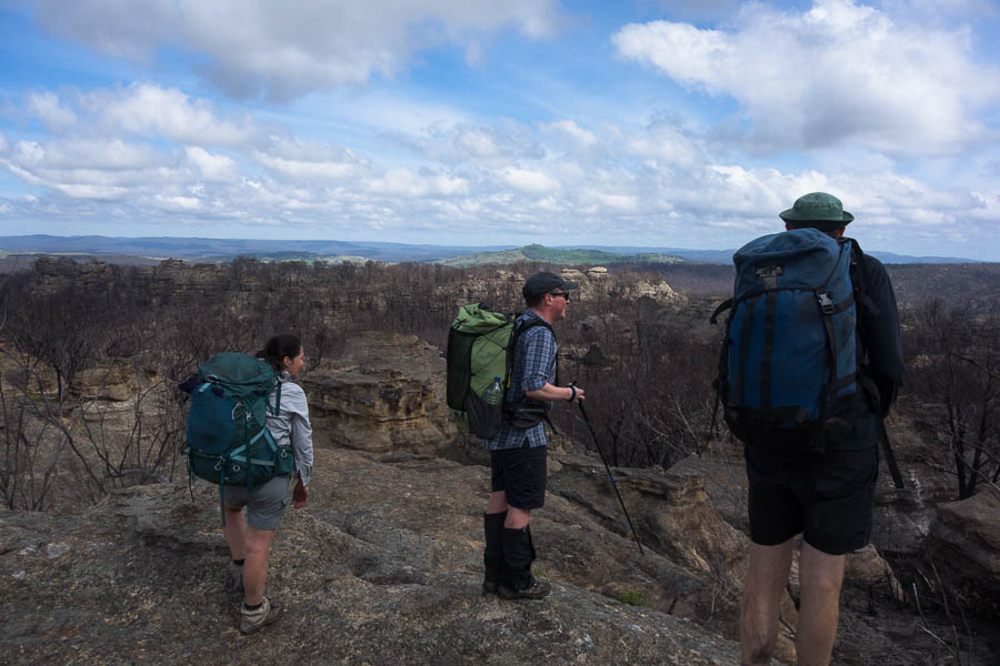
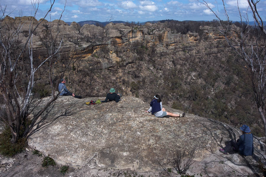
Taking in the views
The ridge was a maze of pagodas, but eventually we found our way via a bit of scrambling onto Tarpeian Rock for morning tea. There was some discussion about where the name Tarpeian Rock came from – one of the trip members in googling our intended route had been surprised to turn up a place in Ancient Rome. Perhaps a good thing the googling hadn’t got as far as working out it was the cliff where murderers, traitors, perjurors, and larcenous slaves were flung from to their deaths. I’m not sure what possessed someone to name a rock feature in a remote area of the Blue Mountains after such a historical location!
Tarpeian Rock
on the return from Tarpeian Rock
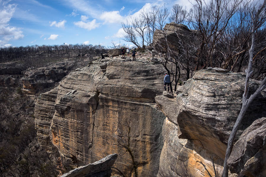
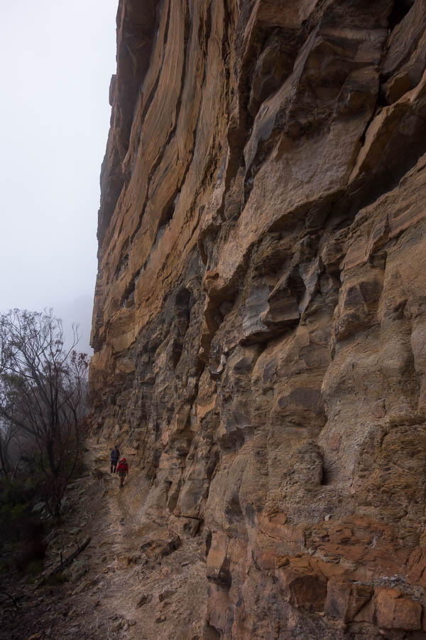
Impressive cliffs
Getting off Baal Bone Point
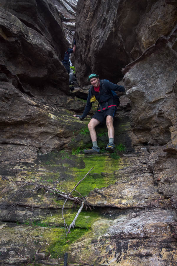
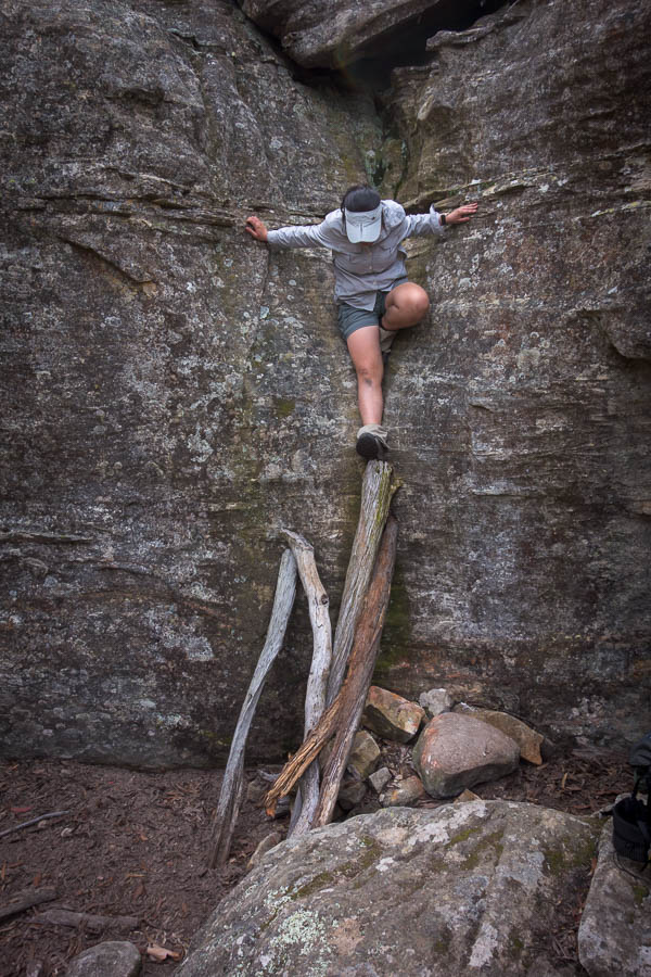
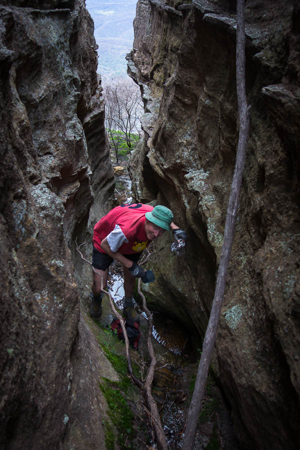
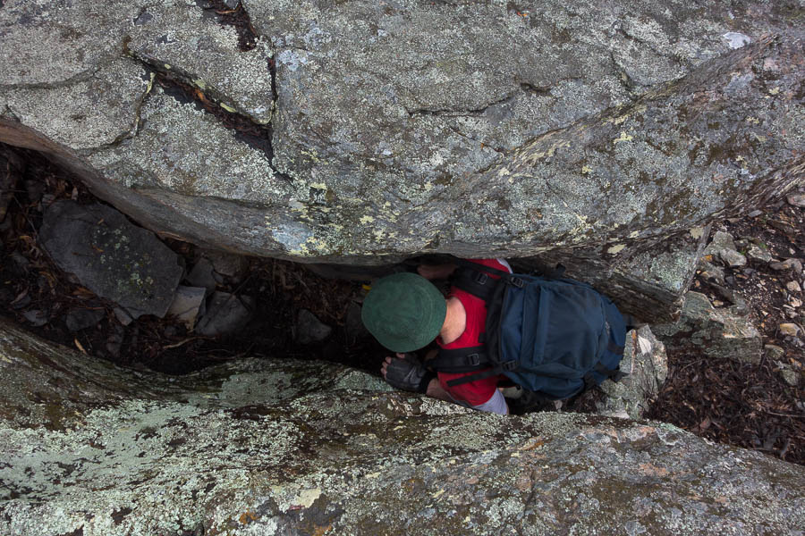
After lunch was where the real fun started – the scramble off Baal Bone Point – I feel like the same logs have been in place for many years to assist with the descent – luckily unburnt. We made short work of the South Pass onto Pantoneys with everyone scrambling up without issue. We hauled packs at the top of the lower section and then squeezed around to the left avoiding the final awkward chimney climbs.
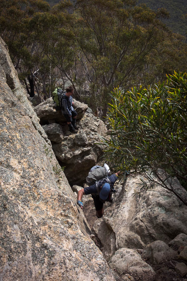
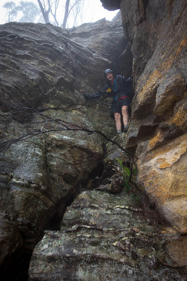
South pass onto Pantoneys Crown
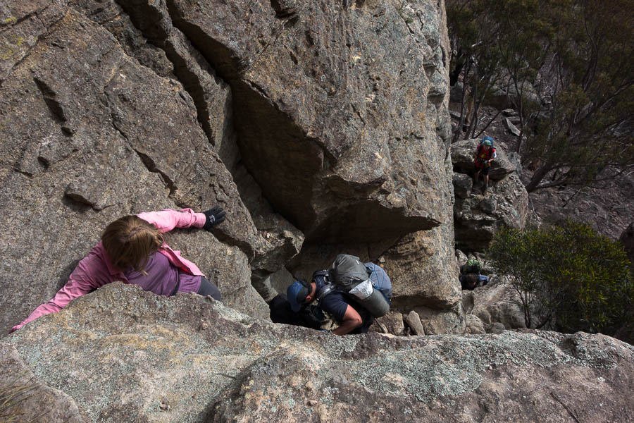
South pass onto Pantoneys Crown

South pass onto Pantoneys Crown
South pass onto Pantoneys Crown
South pass onto Pantoneys Crown
After setting up camp most of us went looking for the fabled water source. I had some vague directions, and indications from looking at the aerials, and with the amount of rain there had been in the last few months I figured if we didn’t find water this trip it probably didn’t exist. Tom led us straight into a little canyon which had flowing water and a small pool! This was great news as I think the hot day had caught most of us a little short on the water front. After filling up we squeezed down the canyon to the cliff edge where we took in the views.
Water on top of Pantoneys

Tom exploring a ledge in the cliff
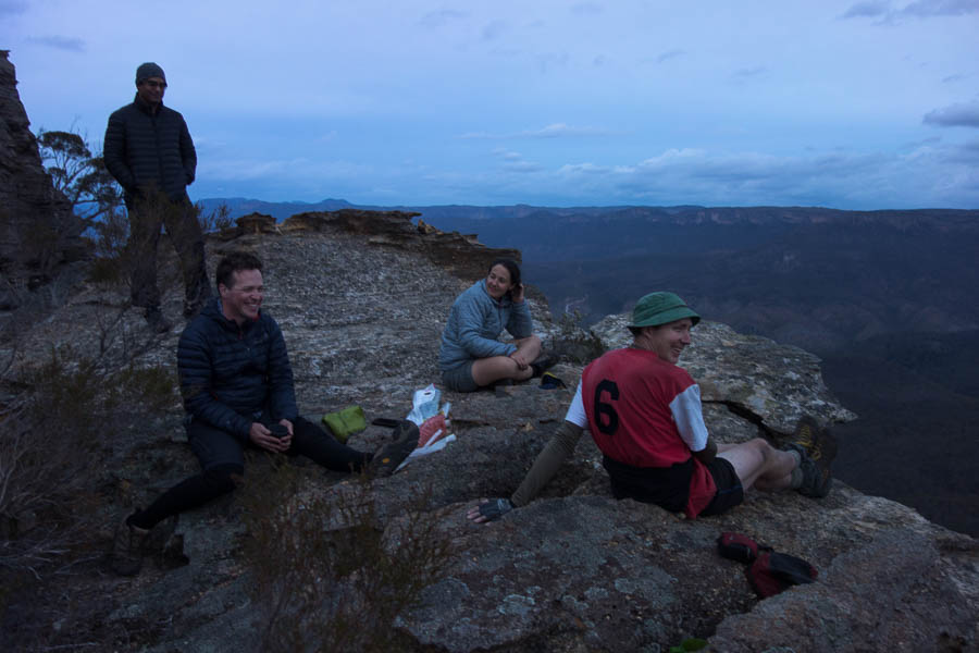
Enjoying a muted sunset
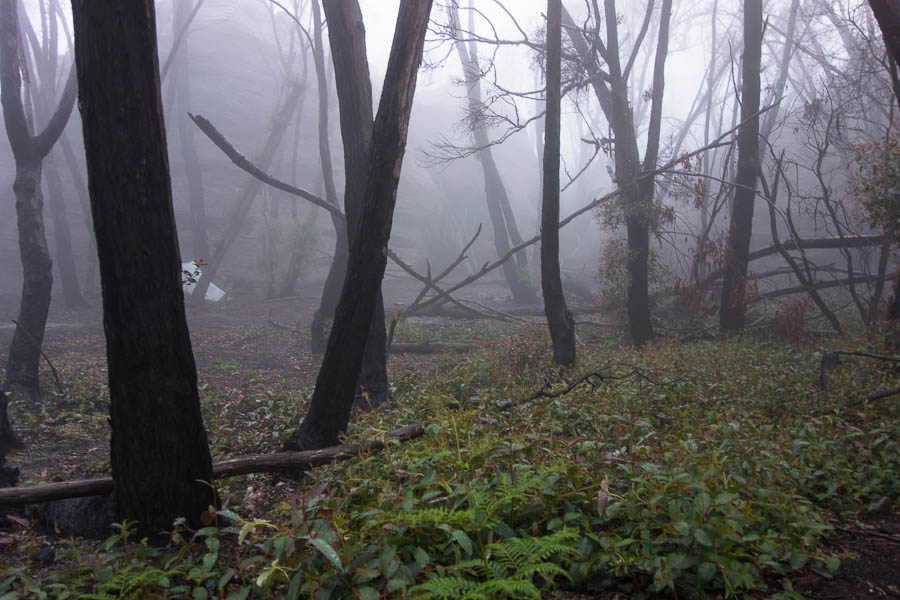
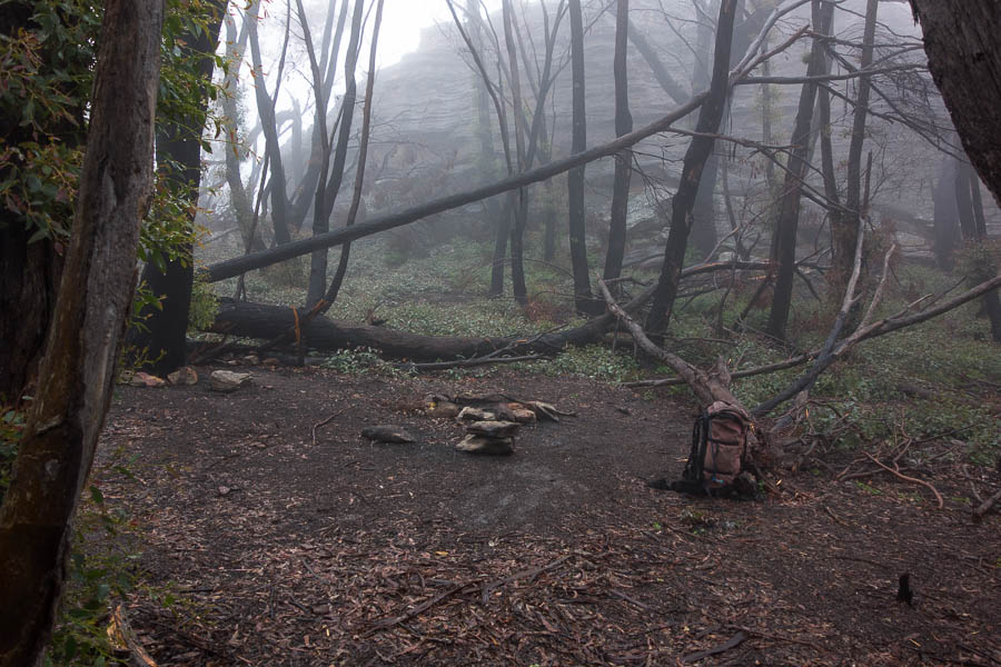
The weather forecast was pretty accurate, we woke to a steady downpour which meant breakfast was a solitary affair as everyone huddled in their shelters. Fortunately about 8am it eased off and we all leapt out and with amazing timing were ready to go right on 8:30am. The views as we traversed Pantoneys were non-existent as we wandered along in the mist.
View from the tent Sunday morning
The tidied up fire area
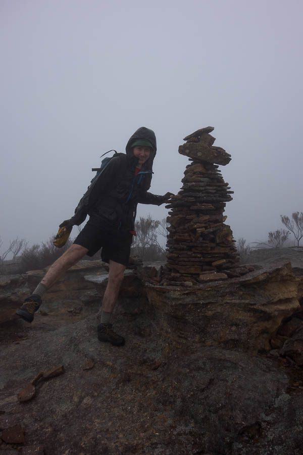
Summit cairn
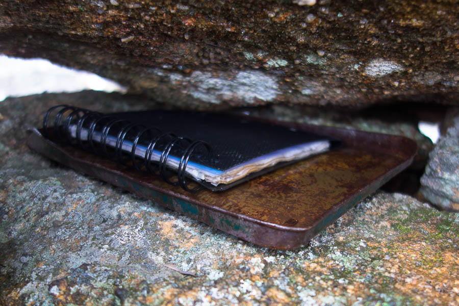
Not so weather proof logbook container
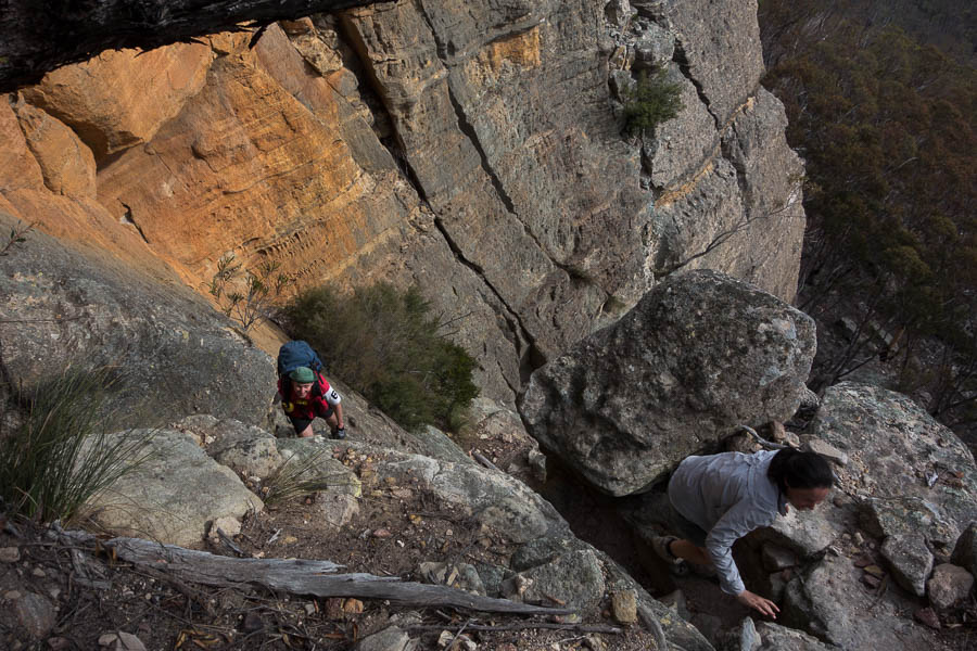
Tom initially wouldn’t believe me when I said we were at the Northern point! I said he was welcome to keep walking if he could find some ground to continue on – fortunately he decided I was probably right and didn’t walk off the edge of a cliff. The top of the North Pass was located without difficulty.
North pass from Pantoneys Crown
Everything was wet which upped the difficulty level and we used the tape on both the middle and lower scrambles.
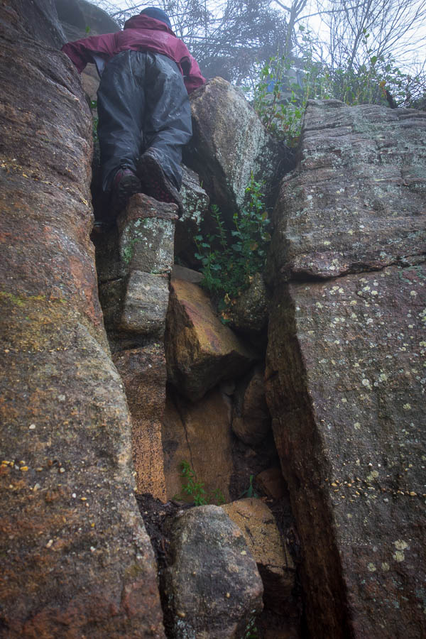
North pass from Pantoneys Crown
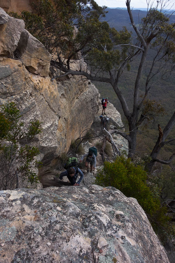
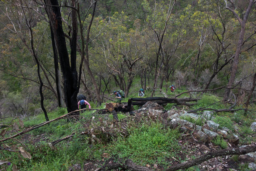
The rest of the day we would be in the realm of exploratory adventuring. Following the cliffline of the Western side of the Crown proved relatively straight-forward. The visibility was still low so we couldn’t see anything except the impressive cliff lines looming into the mist above us.
Traversing the cliffline around the Pantoneys
Vibrant colours in the wet
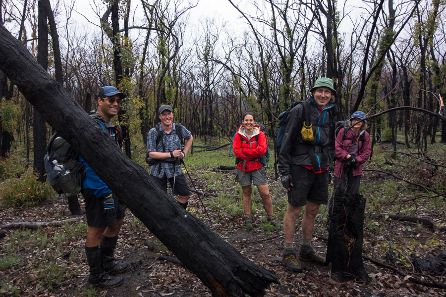
A pretty happy looking party
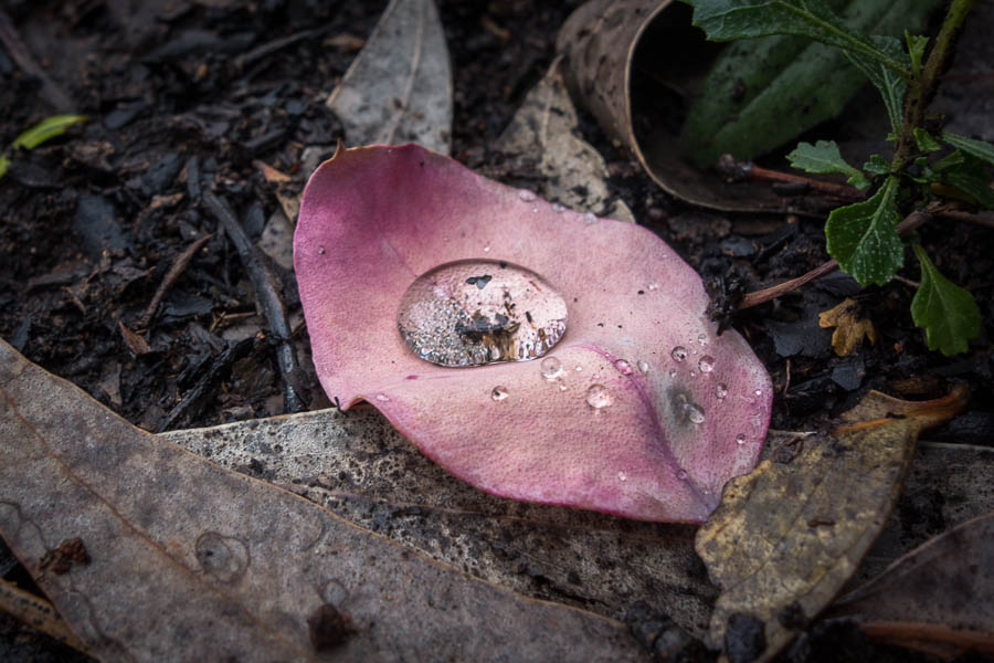
Water tension
We descended to the saddle and then had to work out how best to negotiate the myriad spurs and creek lines which would lead us to Coco Creek. I opted for a ‘straight line’ approach rather than trying to contour. As usual 20m contours hide a wealth of lumps and bumps and we were surprised as the rock turned from sandstone to quartzite. It felt like we’d been transported to Kanangra rather than Gardens of Stone. The minor creeks were steep enough that we had to work a bit to get across them, but Coco Creek was the biggest surprise. A rocky narrow quartzite spine led us down just above a roaring waterfall.
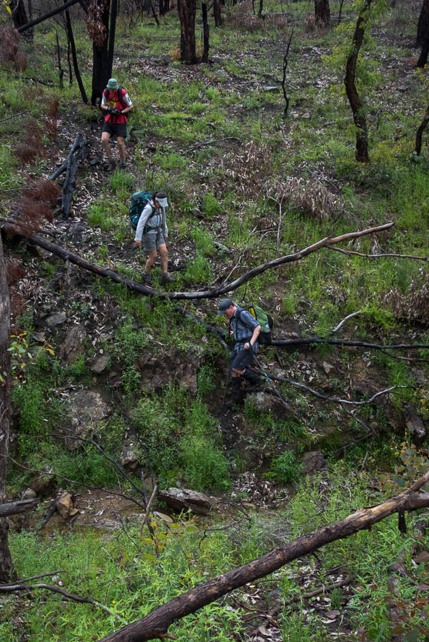
Crossing one of many little creeks on our way to Coco Creek
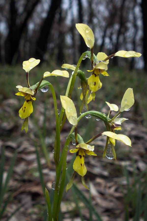
Orchids
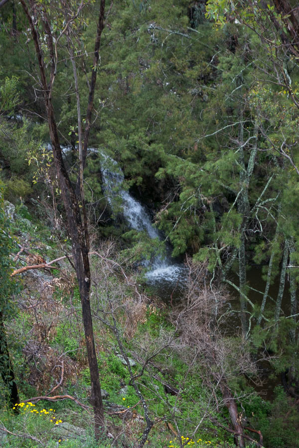
Waterfall on Coco Creek
Start of the climb out of Coco Creek up to Moffitts Pagodas
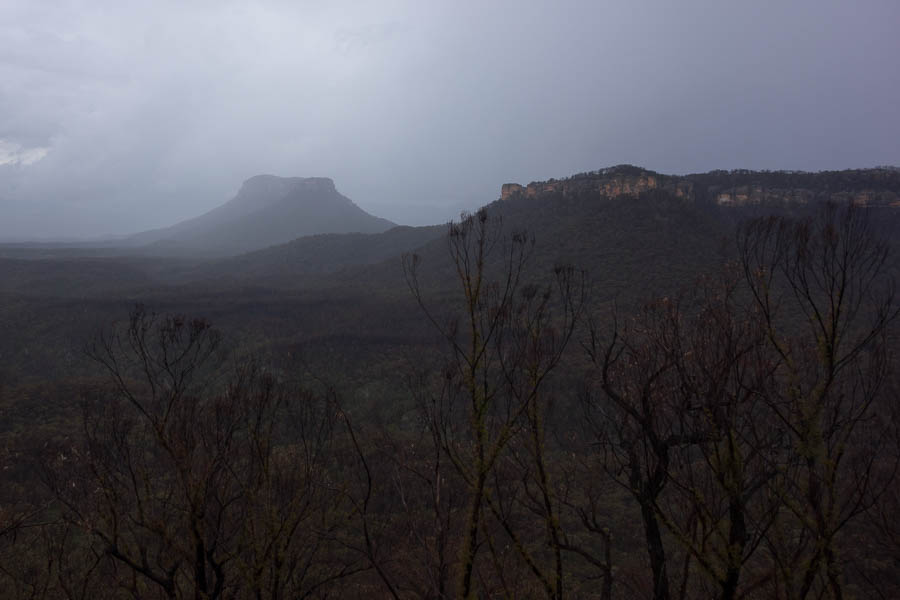
Veiled Pantoneys Crown
From Coco Creek we had a couple of steep climbs to get us onto to the Moffitts Pagoda ridge. It was an impressive ridge line, with equally impressive views. The weather cleared as we got near the top and so it was a slow meander along the ridge as every few hundred metres there was another view, different light on Pantoneys and we spent time savouring it all.
Great ridge walking
Not done with the squeezing yet
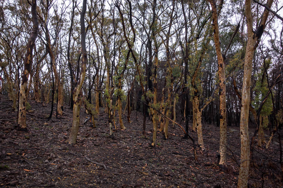
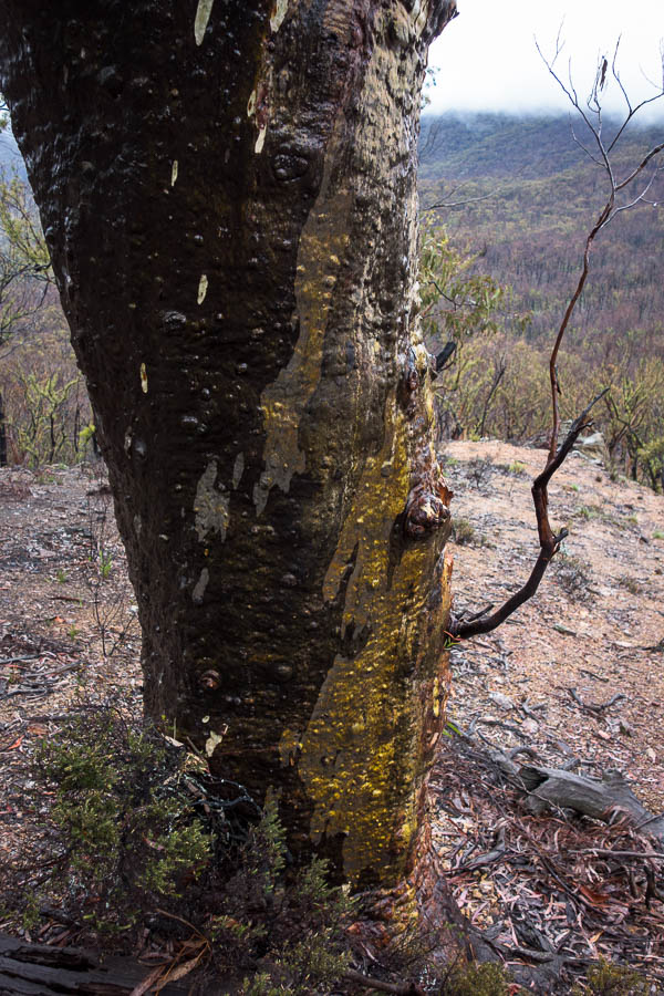
Recovering scribbly gums

Pantoneys Crown and Baal Bone Point
Jo glad we don’t have to walk 2km of firetrail back to the cars
Everyone was very complimentary on my replacement route – I’d like to take the credit but while there’s some skill picking a route on the map, there’s also a lot of luck in how things pan out on the ground. Be assured it’s not every exploratory trip where everything goes pretty much perfectly!