
Bylong Labyrinth (18-21 June 2020)
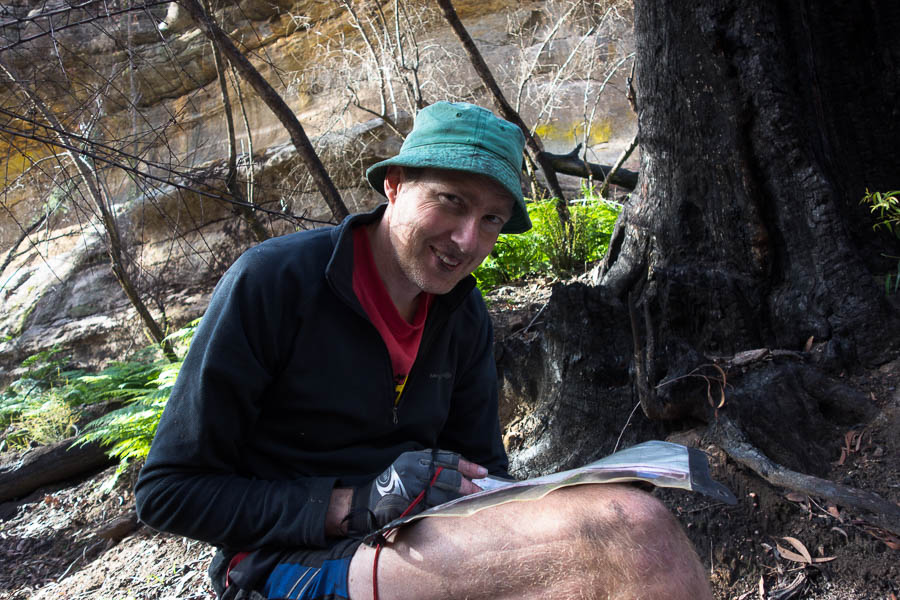
My employer “asking” me to take 4-5 days of leave a month to assist with the economics of Covid provided a perfect opportunity for a 4 day walk. Initially I’d thought Nattai or Morton but having been there the previous 2 weekends we decided something a bit more unachievable for a standard weekend was needed. Tom suggested the Bylong Labyrinth which fitted the bill being a longer drive than we’d normally contemplate. Unsurprisingly there weren’t any other takers so it was just me and Tom who left Sydney early on Thursday morning.
The trip had a fair amount of adversity in it, and it started during the drive up. We passed the Wallerawang Power Station to find a barrier across the road. The Castlereagh Highway was closed near Ilford due to a semi-trailer crash, we’d have to get to Rylstone via Glen Alice. So somewhat later than intended we left the car at 11am.
Walks in previous weekends had shown that there was plenty of water around. Rock pools with water had been in abundance on the tops in the Nattai. We knew the Bylong area was problematic for water but given our heavy packs at the start of 4 days we opted not to load up on water at the start, hoping we’d find some.
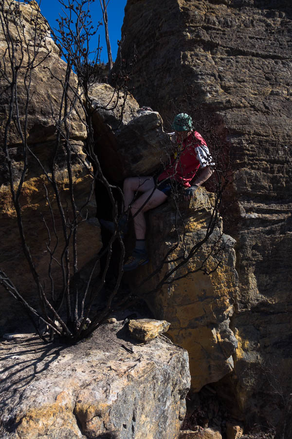
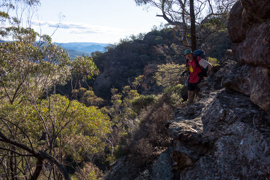
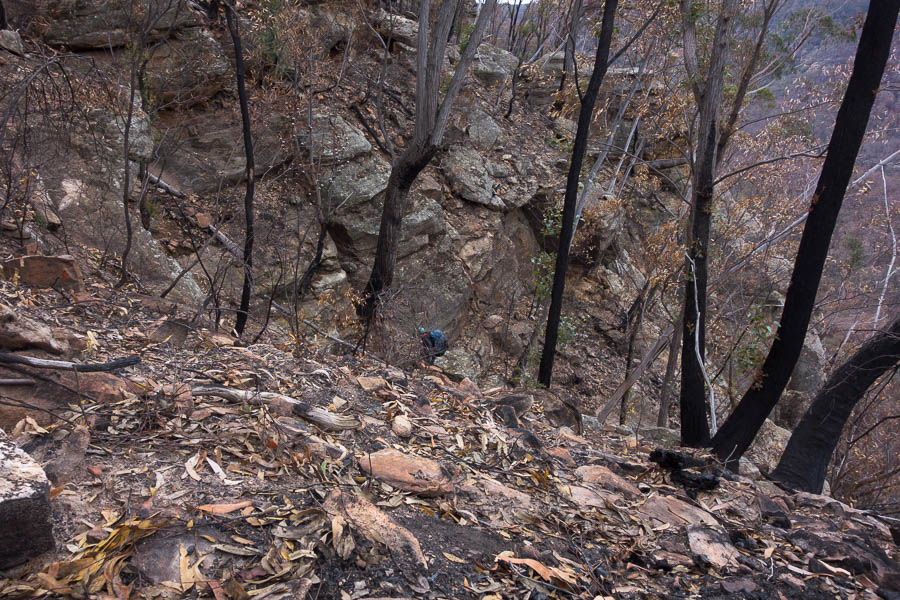
We skirted around the first pagoda and then some grunt work got us up onto the start of the range we hoped to traverse. Things were quickly more technical than anything done in the prior weekends, with pack passing and exposed scrambling. Soon we arrived above a saddle. Unfortunately it was a reasonable drop to get into the saddle, and we couldn’t see any other ways to get down into it. The lack of suitable anchors was a moot point since the rope we had with us wasn’t long enough to get down anyway. Retracing our steps we didn’t find anywhere we could drop down and sidle, so it looked like going back to the bottom and skipping this section was our only option.
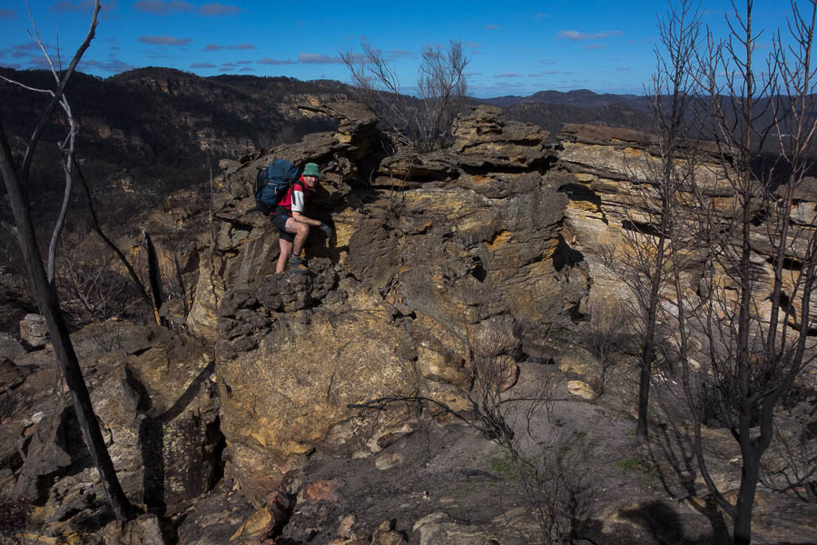
Scrambling on our initial ridge
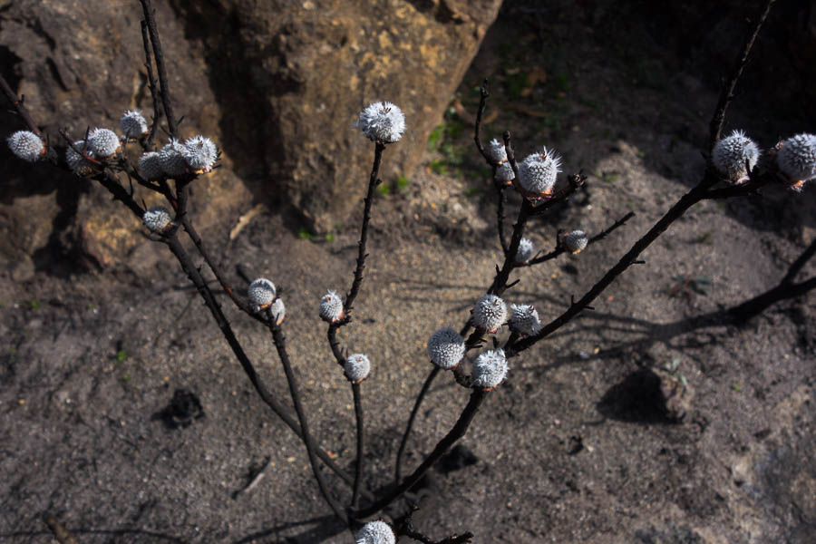
New growth following the fire
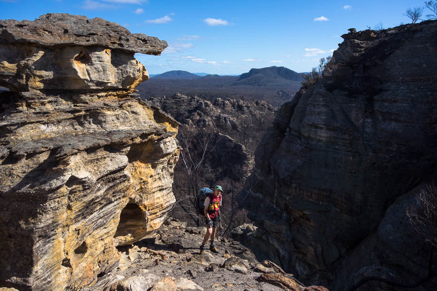
Pagodas galore
Retreating off the ridge
Bylong Labyrinth 1 – Tom & Rachel 0
Having accepted defeat we had lunch before dropping back to the valley floor. It was a warm day and the pagodas didn’t seem to form pools so there had been no water on the ridge. Water was needed before the end of the day. Given our circumstances we opted to follow the dry creek until we found water. The walking was relatively easy and we covered the ground quickly until we reached the spot Tom had expected water might be above ground. There was water. Yay!
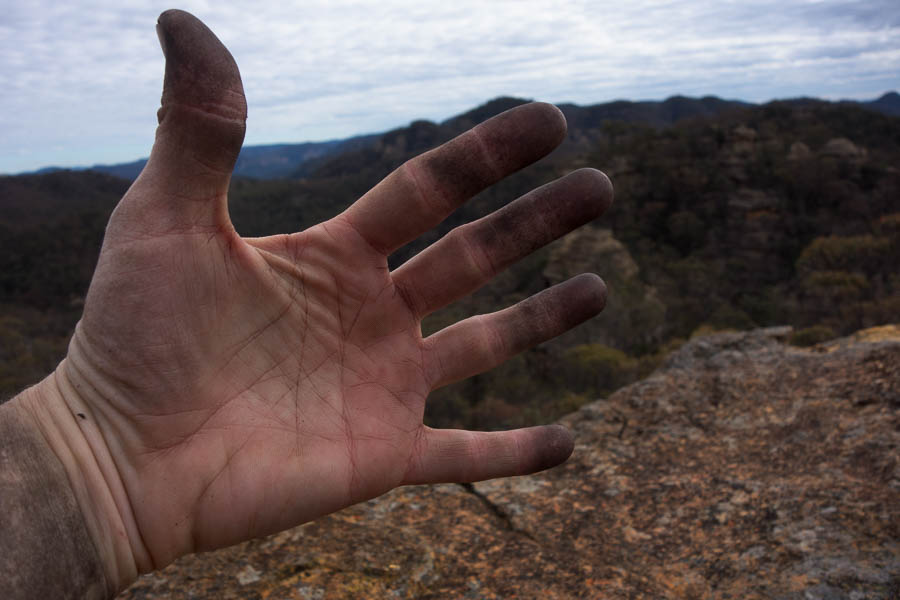
Looking at alternative plans (lipstick completely unintended!)
We found a cleaner flowing source in a small side canyon, so after an explore downstream we sculled a few cups each, then filled up with enough to get us through the night and part of the next day.
Our tiny canyon with flowing water
Tom launches himself onto sand… I mean into quicksand
It was a slog up the nearby spur to get back onto the spine of the main ridge we had been spat off earlier in the day.

Slogging back up onto the ridge
Late in the afternoon we viewed the main top we were hoping to camp on. The ascent options looked somewhat imposing but a treed ramp had promise so traversing under the cliff line we sought a way through the cliffs. As we approached the ‘treed ramp’ it became clear it was more of a slopey rounded cliff line. No go. Then we attempted to get to the point. Massive drop-offs. No go. Retreating as the sun rapidly approached the horizon we had another look at a couple of options we had walked past earlier. Maybe one of them was doable, but we were running out of light and retreated back to the saddle and sought out a flat-ish space that would fit the tent.
The sun is setting why have we still got packs on?
Bylong Labyrinth 2 – Tom & Rachel 0
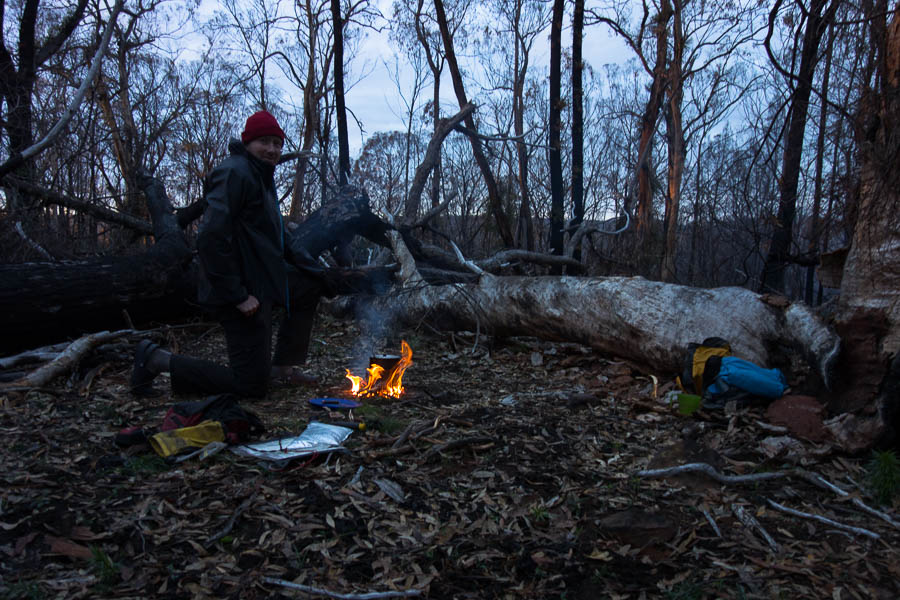
We watched the sunset before settling on a slopey spot for the night. It was a very still night and pleasant around the campfire, though I was exhausted after our early start, the warm day and challenges we’d encountered.

Our slightly slopey site the next morning
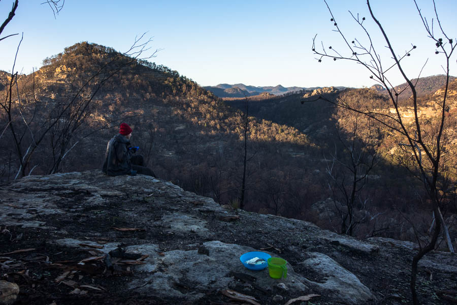
But it did have good breakfast views!
The next morning we had a look at the alternative ascent options in the light of day. If we traversed in the opposite direction maybe we’d find a way up. But after the fires there were few trees and on the slopes everything was loose, rocks were de-laminating, and in the end we decided to give up on the mountain and find a way around it. Tom had intended us to drop into a gully, but I led us down the ridge we’d come up the day before. Assuming we’d be able to drop off the side of it as we descended Tom wasn’t too fussed about my route choice. We kept hopefully walking the right-hand side looking for a ramp down, but nothing except cliffs. Eventually accepting defeat we just followed the spur all the way to the base – in the opposite direction to where we were aiming.
Bylong Labyrinth 3 – Tom & Rachel 0
By this point I was pretty frustrated with how things were going. Perhaps Tom had created a rod for his own back – normally his analysis of aerial photos and maps in advance meant that the routes we attempt are successful. I found the 1:25k map confusing and it gave little detail in the way of pagodas – contours which in other parts of the Blue Mountains we’d be able to get through were cliffs and rounded pagodas. Tom had made some detailed 5m contours maps using LIDAR data, but even those couldn’t reveal all of the obstacles. I wasn’t used to this sort of defeat. This was meant to be a fun weekend and it all seemed like a disaster. After a council of war we agreed to stick to the creeks for a bit to hopefully give us enough time to make an assault on Goat Mountain.
The creeks were (comparatively at least!) easy going. We finally achieved some (secondary) objectives by making it to the foot of Goat Mountain for lunch, loaded up with water from one of the creeks we’d descended, which was just as well as the Growee River was wide, sandy and completely dry.
Lovely morning tea spot
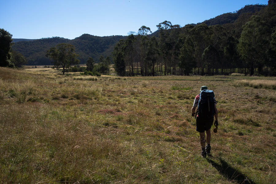
Approaching the Growee River
The slog up the unburnt ridge with water-laden packs was more typical of the terrain we were used to in other areas. A minor victory – we’d made it onto the ridge line, but there was still over a kilometre of ridge to traverse before we were on Goat Mountain. Tom assured me there were still plenty of things on his 5m contour map that looked tricky. Great.
OK, so all we’ve got to do is get over there
However, one by one the obstacles were overcome. At one point above another saddle that looked like it require a rope to get in we managed to find a narrow ledge to scurry along. And so it was with much relief we made it on to Goat Mountain.
Just a little ledge scamper
Bylong Labyrinth 3 – Tom & Rachel 1
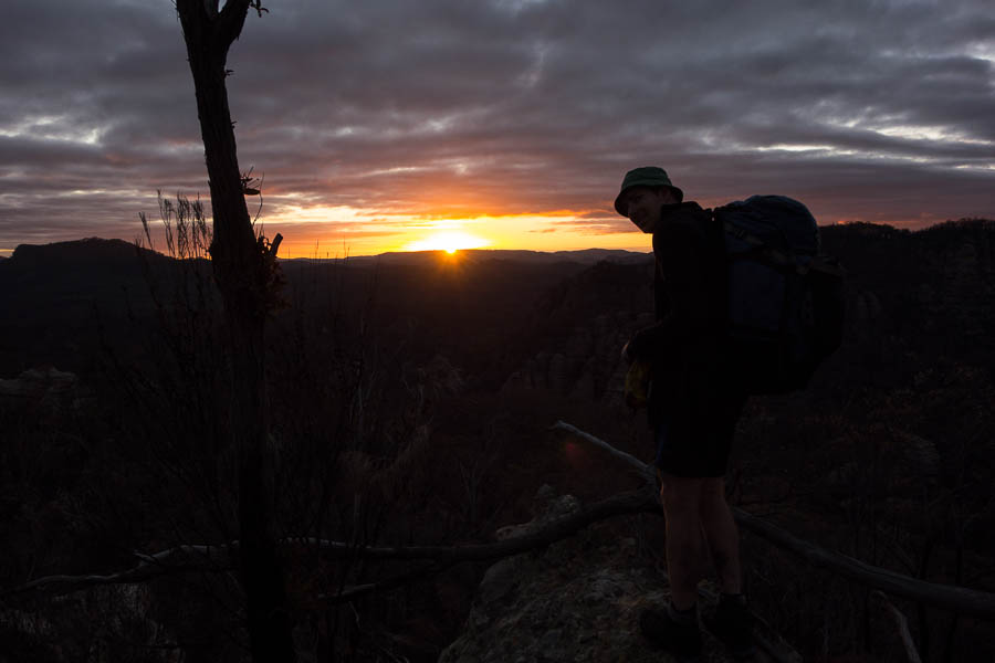
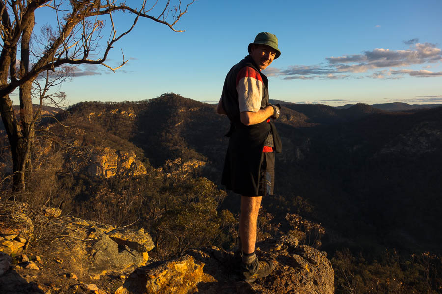
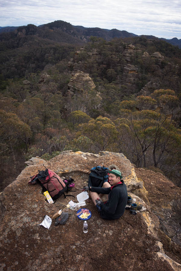
My one request for the day had been we would make camp at 4pm so that we had time to set-up and enjoy the sunset (just before 5pm in this darkest time of the year). So a 3:40pm arrival was over-achieving! We found a lovely cliff-edge spot to watch sunset and have happy hour #1. It had been a unseasonably warm, still day, and that stillness extended through the evening which made for a relaxing night around the campfire. I was pleasantly surprised when for happy hour #2 the quality of the port went up a few price points. As it was my birthday the next day Tom had carried in some Rutherglen Grand Port. Yummo.
Now this is a happy hour spot
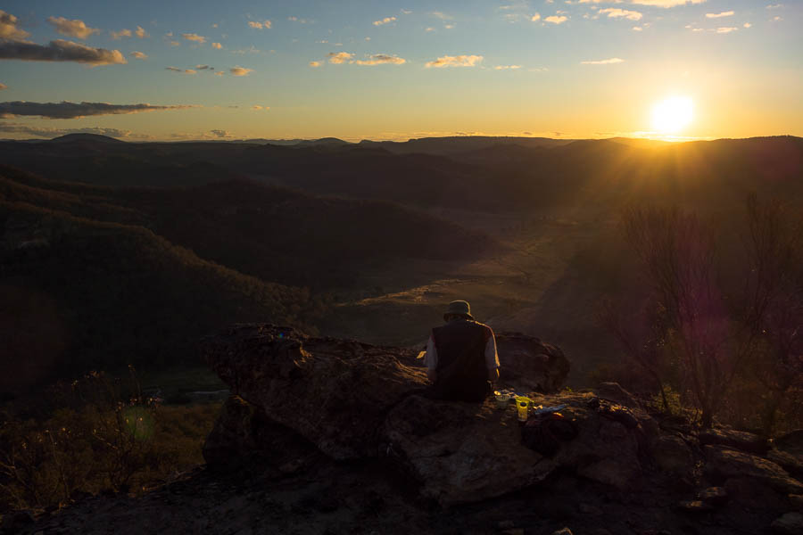
And sun hasn’t even hit the horizon yet
Nice flat campsite
Cosy dining area
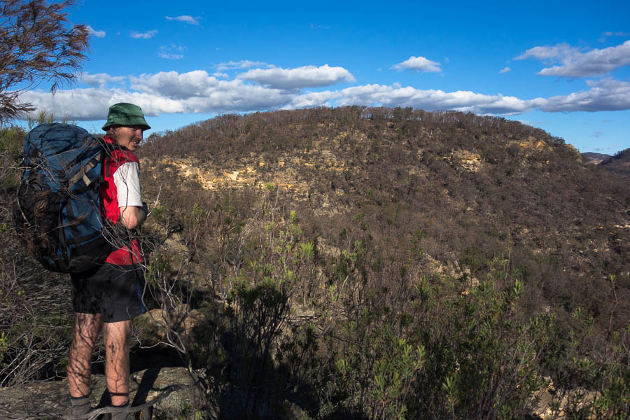
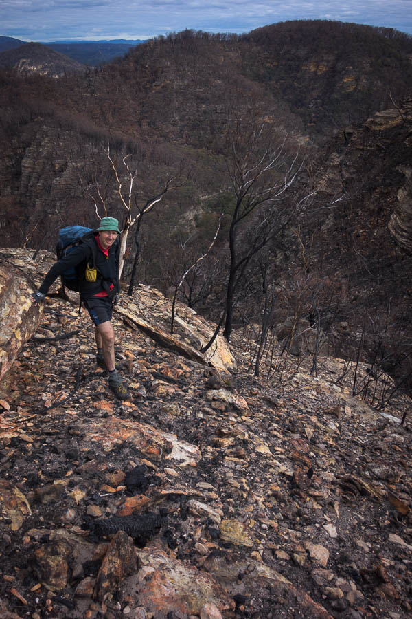
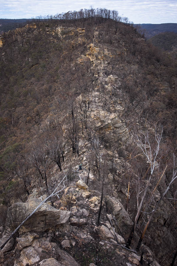
Knowing there was a change in the weather expected late on the third day we didn’t dawdle in the morning. The plan we’d discussed around the fire was to continue our traverse a short way but then drop down off the tops. However, when we saw the ridge line ahead of us we decided to keep going with our traverse. Some scrambling up the pagodas eventually got us to the top of the next peak. The crumbling rock post-fires added a level of difficulty which I suspect didn’t exist previously.

Rather than go the presumed safer gully route we decide to try and get up this
Near the top, with lots of loose rock underfoot
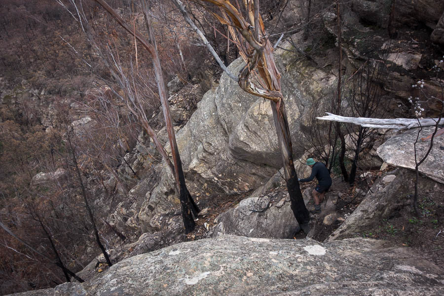
Winding our way along the ridge we came to a knife-edge saddle that we wanted to cross. Who would have thought saddles would cause the biggest difficulties of a trip? It looked easy enough to cross if we could get into it. Tom managed to scramble down a few levels on the right side with the use of our rope, but was stymied above the final drop.
Trying to find a way into the saddle (right side)
Tom above the drop which is stopping progress
In the meantime I’d scoped the left and thought it might allow us to traverse on steep slopes. But after descending a loose gully we realised we needed to get down another level and an even steeper gully was the only option. If we’d had a longer rope we might have given it a go but in the end beat a chastened retreat.
Tom scrambling back up from the left-hand side attempt
Bylong Labyrinth 4 – Tom & Rachel 1
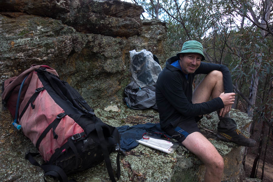
A review of the map showed a couple of other ridges were options for getting off the mountain, but Tom had not anticipated us going that far north so there were no detailed 5m contour maps! Easy walking soon got us to the ridge with the widest contour lines on the 1:25k map and we started making our way down. A perfect lunch spot caught our eye just above the saddle we were aiming for. We enjoyed lunch, the views and Tom looked at the aerial photos. His prediction: “it’s going to be a sh*t to get into the saddle”. Great.
Dirty work walking in burnt areas!
Lovely lunch spot, we need to find a way down through those pagodas after lunch…
Sure enough we ended up on a pagoda about 10m above the saddle. I was about to embark on a sidle on the side of the ridge we didn’t want to be on, before Tom pointed out we might be able to work out way round on the other side. Fortunately with a couple of small drops negotiated we had made it to the saddle! One minor objective achieved but we had 3 more for the afternoon; make it down the side creek to Lee Creek, find water, find a campsite. The only one that was causing me any (minor) concern was the water, whereas Tom was thought our side creek could turn into a canyon.
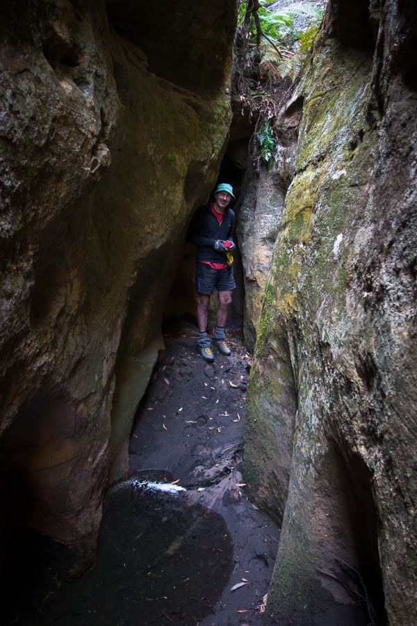
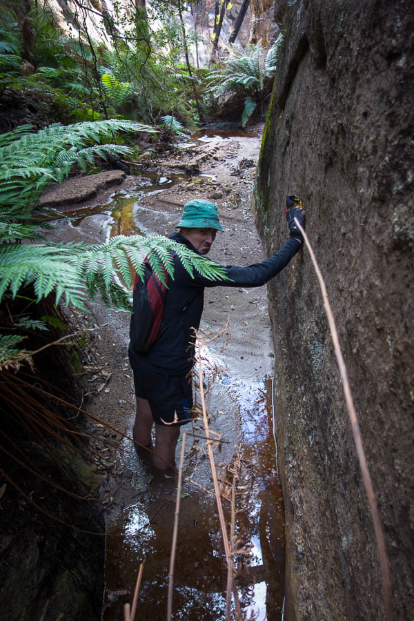
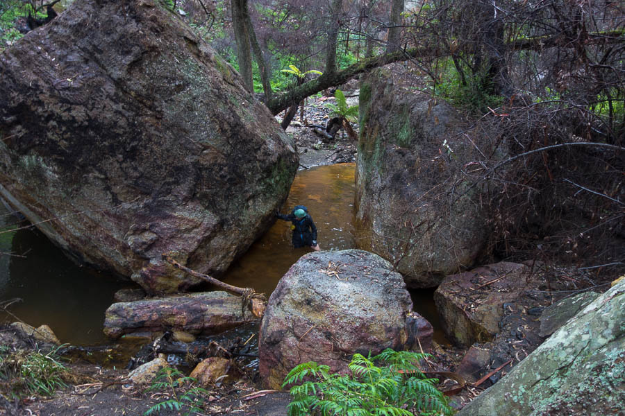
Soon enough we hit water so another big guzzle was had to make sure we were hydrated, though we weren’t inclined to load up at this point with still a 1km to go down the creek. Next minute the creek was dropping into a pool that was rather large and possibly quite deep. Skirting around it the creek dropped away and we were soon many metres above the creek floor. Fortunately I was able to climb down through a quasi-canyon in the side creek.
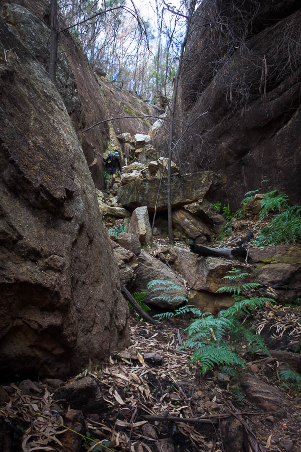
Scrambling in a side creek
Having hit more water we decided we should just fill up, and then not long after we arrived at the Lee Creek junction. Two more minor objectives achieved. Surprisingly, given our experience of the the water courses so far on the trip, Lee Creek was flowing healthily. I was keen to ditch some of the water in my pack but Tom didn’t want to… so instead we carried 7 litres of water while we walked alongside a healthy creek.
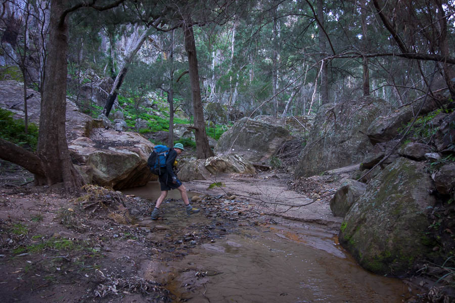
Crossing the Lee Creek with litres of water in our packs
Perhaps unsurprisingly the extra weight took it’s toll and by 3:30pm I was ready to find a campsite. We still had a lot of distance to cover the next day but we hadn’t come across many good sites, so when we got to one we decided to stop for the day. Washing off the accumulated grime/ash/charcoal from the previous 3 days was a good feeling! High camps are lovely but camping next to a flowing creek definitely has some benefits.
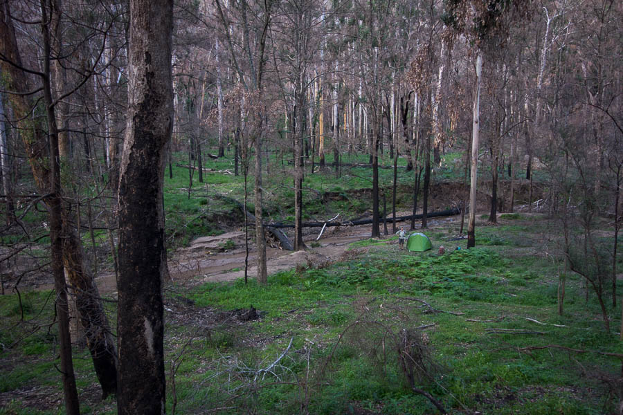
Camp on Lee Creek
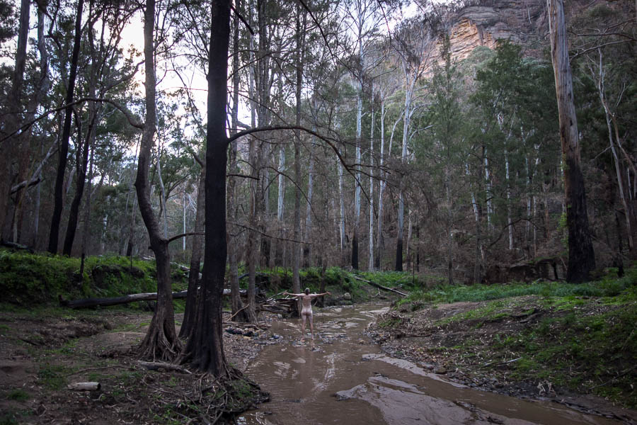
Washing off the last few days of ash. Glorious!
There was no sign of the weather change yet. We hoped the rainfall models prior to the trip proved correct and the rain would all come during the night.
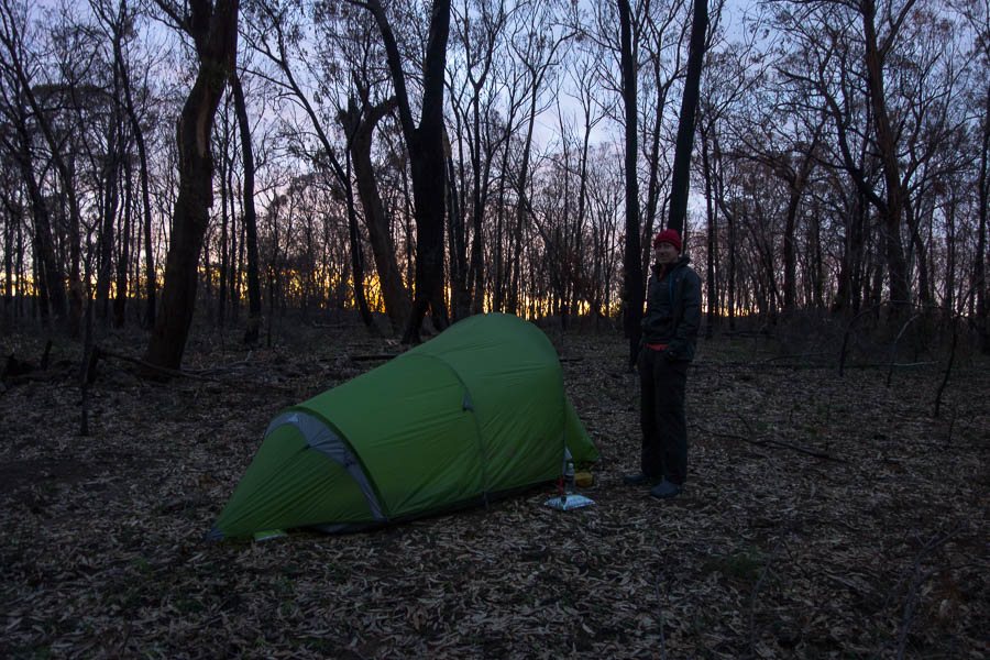
The rain did arrive during the night, but a bit later than the models had suggested 3 days earlier and so when we woke it was still raining. It didn’t seem close to easing so we ate breakfast in the tent and packed up in the rain. This meant our earliest start of the trip – 8am. Fortunately not long after we started the rain stopped.
Walking up Lee Creek on day 4
Early on we’d gone with the wet feet option in the river which made progress pretty quick. Lee Creek was lovely and easy walking, though sections of quick sand existed for the unwary. Tom’s useful advice to me: “walk like an ant, not like an elephant”. I think that’s up there with “think light thoughts”. We both got stuck in quick sand a couple of times, Tom the worst of it up to his mid-thigh.
Tom thigh deep in quicksand
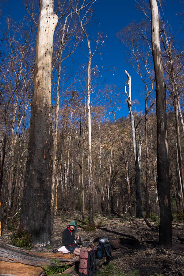
I needed coffee having skipped it in the morning so we had morning tea and boiled the billy in a small overhang stocked with dry leaves.
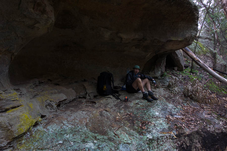
Morning tea cave
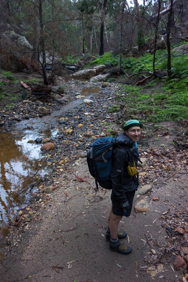
From there we powered up the rest of Lee Creek and hit the fire trail around 11:30am. We dutifully skirted the inholding rather than following the road and then had lunch on a small pagoda.
Lunch pagoda
Eventually back at the cars at 2:30pm, with time to get to Rylstone before all the cafes shut!
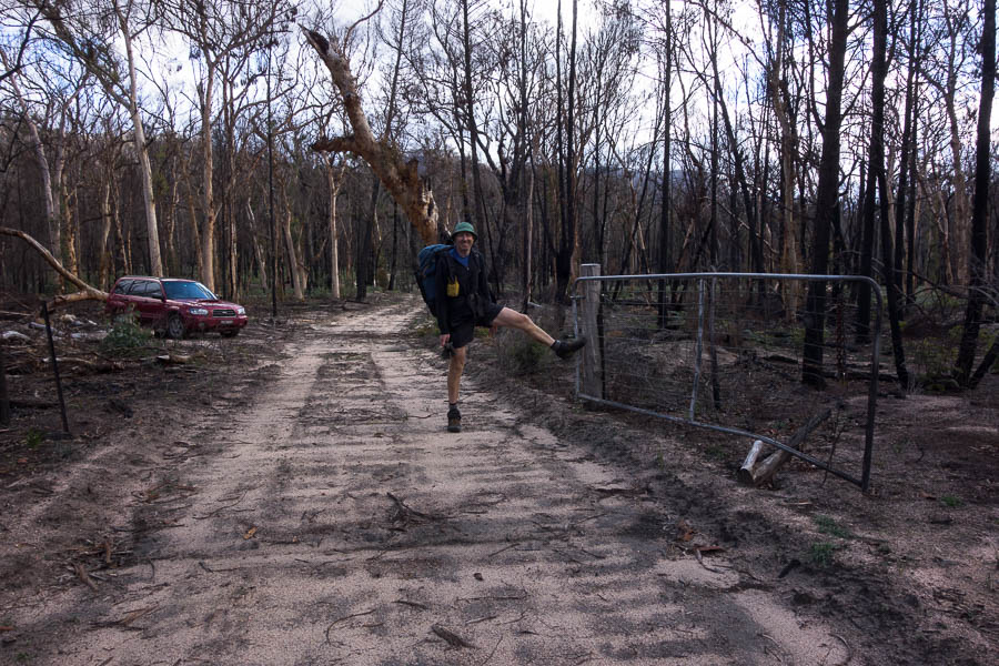
The not so locked gate
Final tally?
Bylong Labyrinth 4 – Tom & Rachel 2
We’ll be back for a rematch!